Walbury Hill and Pilot Hill: Berkshire & Hampshire County Tops

Walbury Hill
Significance: Highest peak in Berkshire (Historic County Top), North Wessex Downs National Landscape High Point
Member of: Marilyn, Hardy
Parent Peak: Beacon Batch
Nearest Higher Neighbour: Cleeve Hill
Elevation: 297m
Coordinates: 51°21′08″N 1°27′57″W
OS Trig Pillar: TP0302 - Inkpen
Links: Wikipedia (Berkshire), Wikipedia (Walbury Hill), Peakbagger
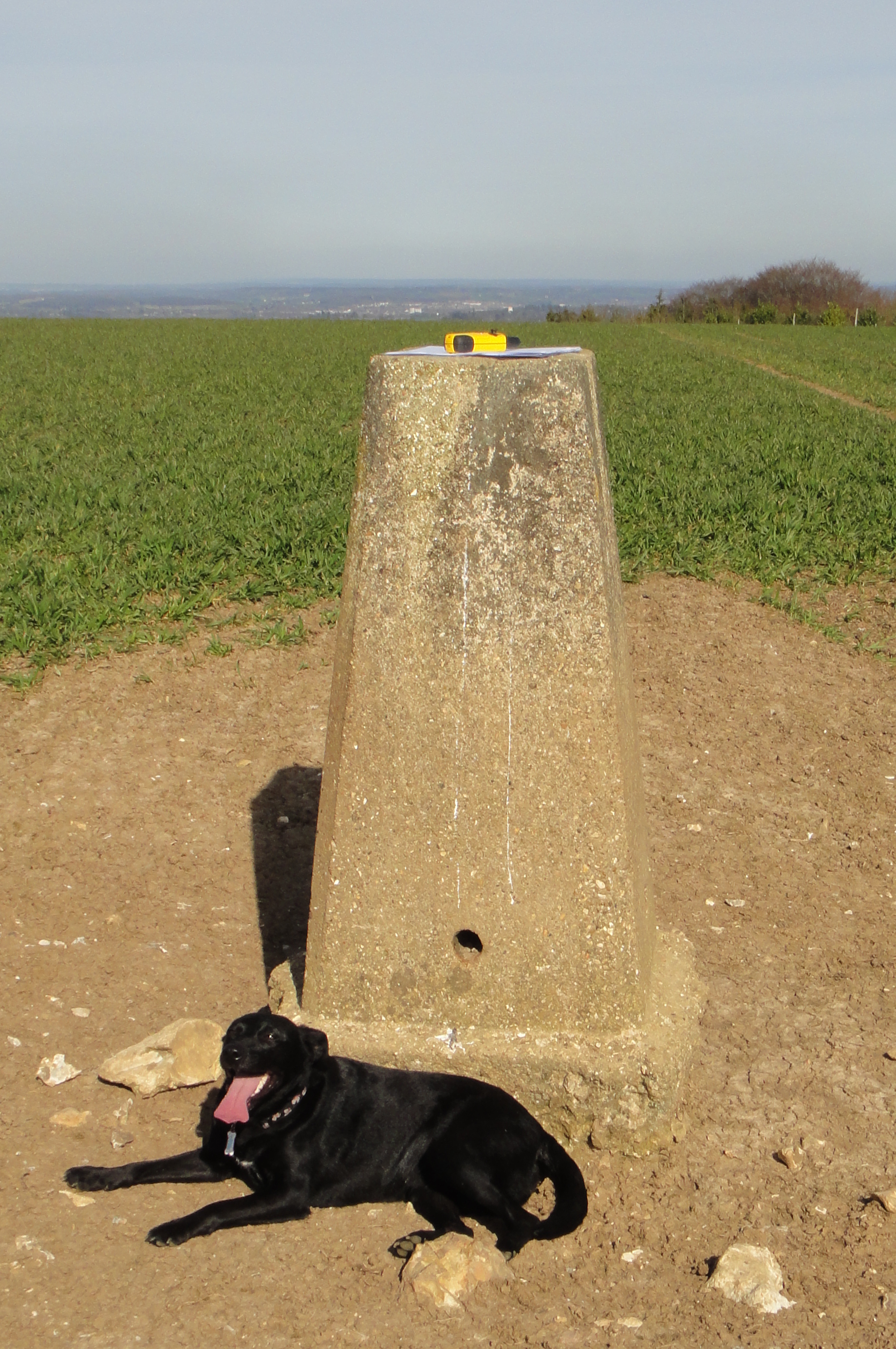
Pilot Hill
Significance Highest peak in Hampshire (Historic CT)
Member of: N/A
Parent Peak: Walbury Hill.
Nearest Higher Neighbour: Walbury Hill
Elevation: 286m
Coordinates: 51°20′19″N 1°25′48″W
OS Trig Pillar: TP5448 - Pilot
Links: Wikipedia (Hampshire), Wikipedia (Pilot Hill), Peakbagger
For both peaks:
Date climbed: 25th March 2012
Route Start / End: Combe Gibbett & Walbury Hill Car Park, Combe, Hungerford, RG17 9EH
Route Distance: 9.9 km (6.1 miles)
Route Elevation Change: +/- 150m
Subsidiary tops on route: none
GPX File: get via Buy Me a Coffee
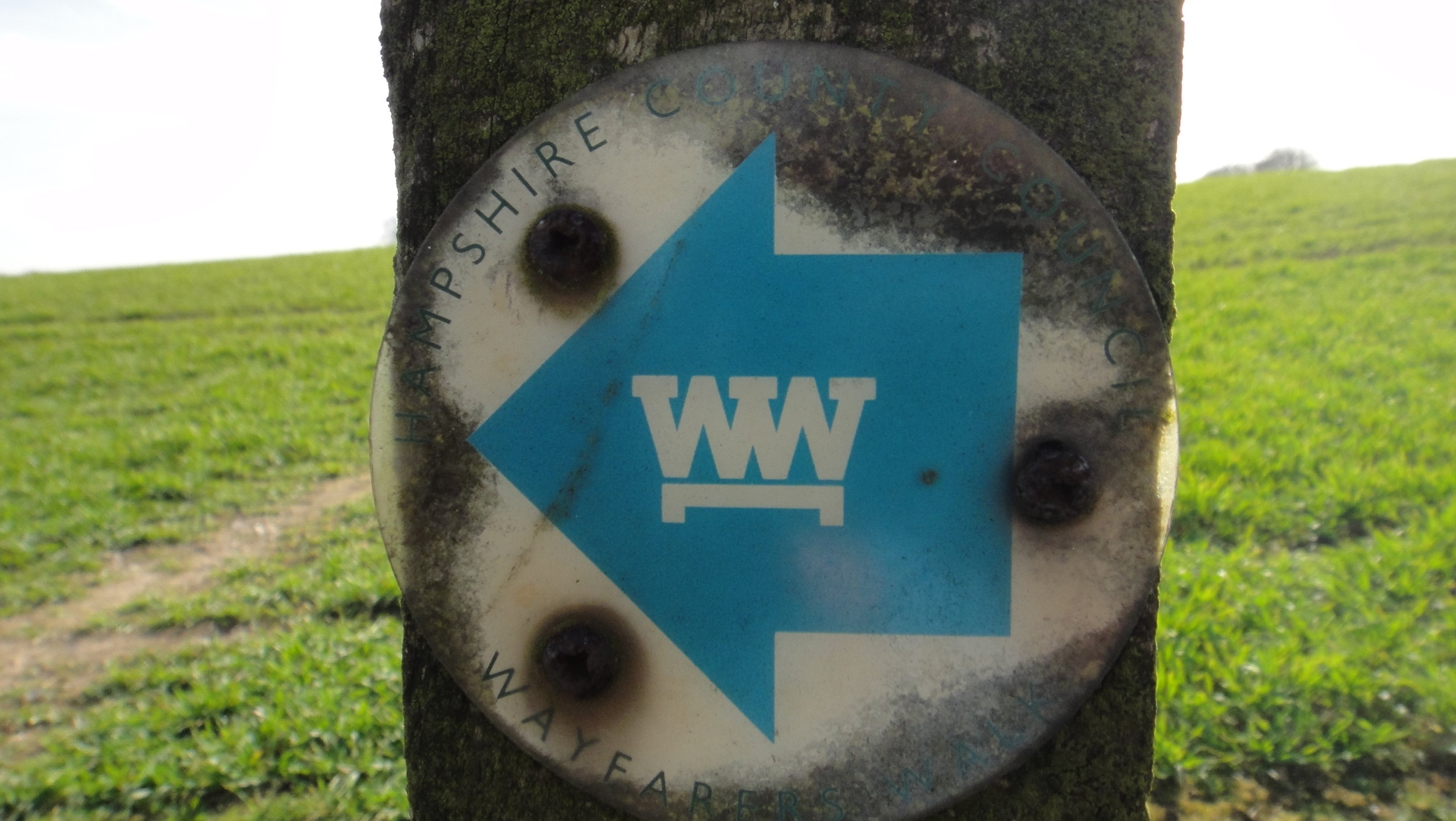
Other routes touched (walk): Wayfarers Walk, Brenda Parker Way, Test Way
Other routes touched (cycle): NCN 246
Map: OS Explorer 157 - Marlborough & Savernake Forest
Guidebook: The UK's County Tops (Jonny Muir), Walking the County High Points of England (David Bathurst)
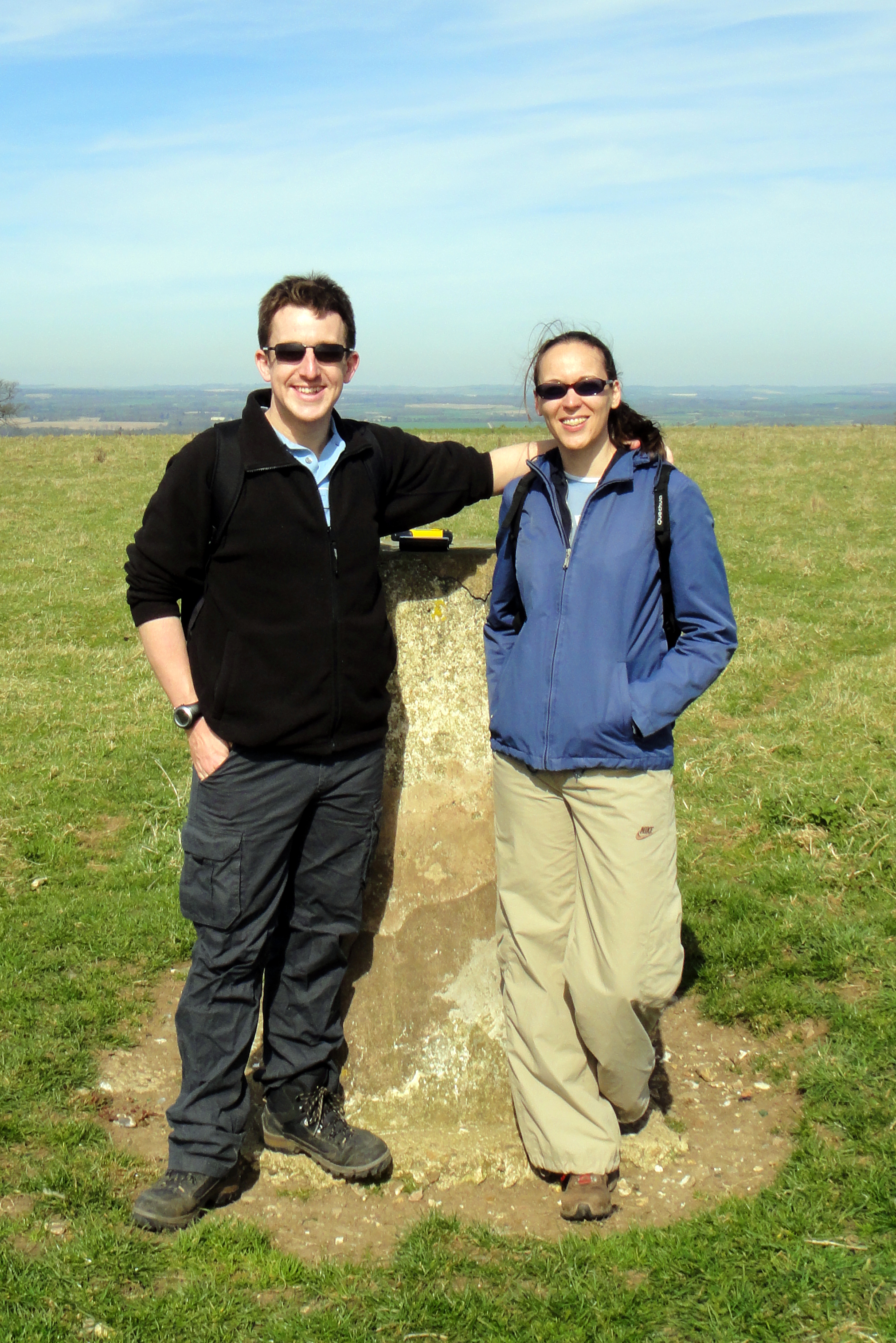

The high points of the Historic Counties of Berkshire and Hampshire can be bagged in one short walk. This was the first trip to intentionally bag County Tops, although I had already completed Ben Nevis, Scafell Pike and Snowdon before.
From the Combe Gibbett & Walbury Hill Car Park follow the Wayfarers Walk in a north-westerly direction for 1km. At a path junction take a left and follow the path in a south-easterly direction for 0.5 km to the summit of Walbury Hill
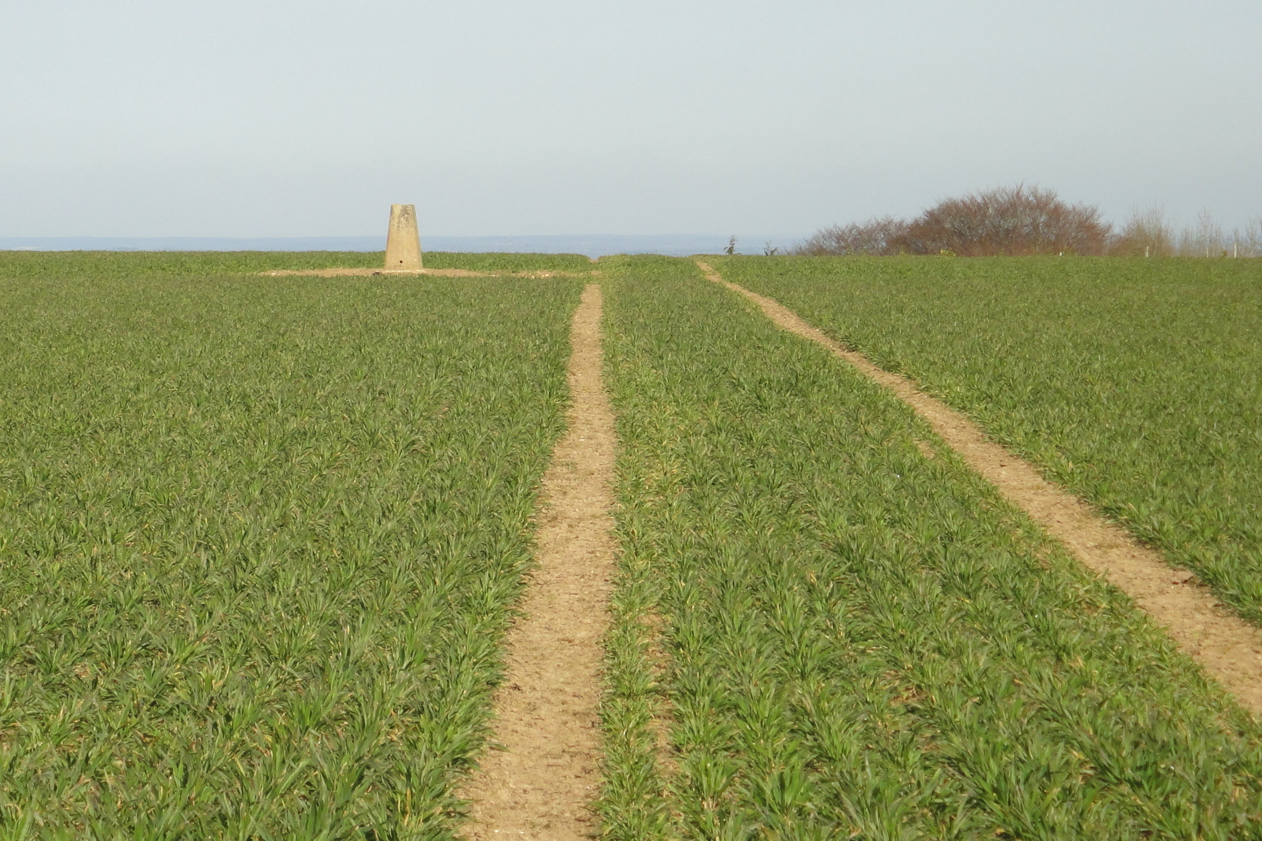
Leave the summit by continuing along the path which will soon curve to the north-east. The path will re-join the Wayfarers Walk ~400m before the car park. Take a right back onto the Wayfarers Walk and follow it for 1.7 km to a path junction. Take the path on the right and follow it as it snakes through Eastwick Copse to the summit of Pilot Hill. Note that the Trig Pillar that marks the summit is in a farmer's field rather than on the path so you'll need to approach it carefully.
From the summit continue along the path until it returns to the Wayfarers Walk. Take a left onto the Wayfarer's Walk and follow it back to the car park.

Other High Points In BERKSHIRE
Whitehorse Hill (261m) Oxfordshire Ceremonial County High Point, previously part of Historic Berkshire: Peakbagger
Ashley Hill (145m) Windsor & Maidenhead Unitary Authority High Point: Peakbagger
Bowsey Hill (142m) Wokingham Unitary Authority High Point: Peakbagger
Surrey Hill (130m) Bracknell Forest Unitary Authority High Point: Peakbagger
Park Lane, Tilehurst (103m) Reading Unitary Authority High Point: Peakbagger
East Burnham Park (51m) Slough Unitary Authority High Point: Peakbagger
Other High Points In Hampshire
St Boniface Down (241m) Isle of Wight Ceremonial County High Point: Peakbagger
Fort Southwick (122m) Portsmouth Unitary Authority High Point: Peakbagger
Bassett Avenue (82m) Southampton Unitary Authority High Point: Peakbagger