East Burnham Park: Slough High Point

View of the summit. There's no cairns so take care with navigation
Significance: Highest peak in the Slough Unitary Authority (Present Day CT)
Member of: None
Parent Peak: Haddington Hill.
Nearest Higher Neighbour = Windsor Castle Historic Hill
Historic County: Buckinghamshire (of which Haddington Hill is the County Top)
Elevation: 51 m
Date “climbed”: July 25th 2018
Coordinates: 51.5379° N, 0.6249° W
Route Start / End: Circular route from Burnham Beeches car-park off Lord Mayors Drive, Farnham Common.
GPX File: get via Buy Me a Coffee
Map: Explorer 172. Chiltern Hills East
Links: Wikipedia (Slough), Peakbagger, Hillbagging
East Burnham Park gets a nomination for my award for the most underwhelming County Top in the UK. "East Burnham Park" is actually Estate Agent speak for "the arse-end of Slough". Others may argue that Slough is also the arse-end of Berkshire, but you've not heard me say that.
The summit was in the Historic County of Buckinghamshire and is now in the Ceremonial County of Berkshire. The high point of the present-day Slough Unitary Authority is on a small mound of grass opposite the junction of Farnham Lane and Crown Lane. There's nothing really to see here and the dog-poo bin that used to mark the summit has long since disappeared.
If you're planning an attempt on the summit a good option is to combine it with a cycle ride from Burnham Beeches. You'll get a reasonably pleasant trip out of it and will spend as little time as possible in Slough as most of the route is in South Bucks. Don't forget your crampons and make sure you have spent several weeks in the area before the trip to get acclimatised. Slough has very little provision for Mountain Rescue so if you get into trouble, you're on your own.
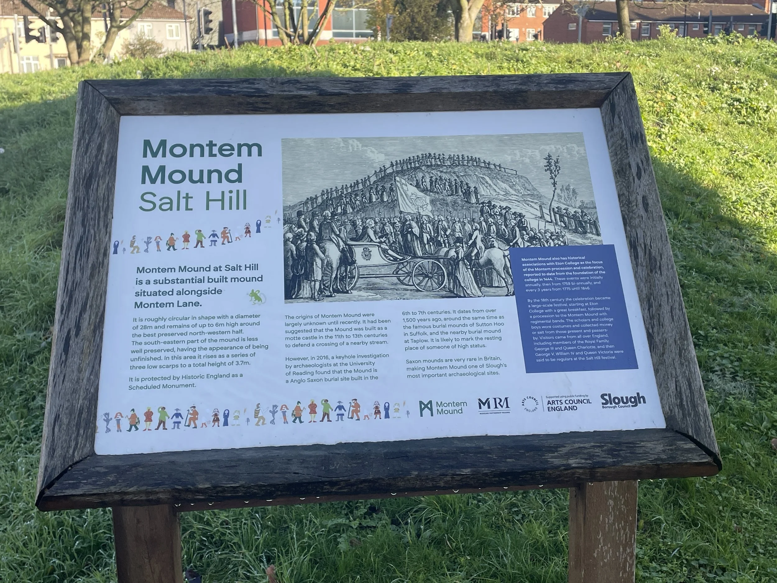
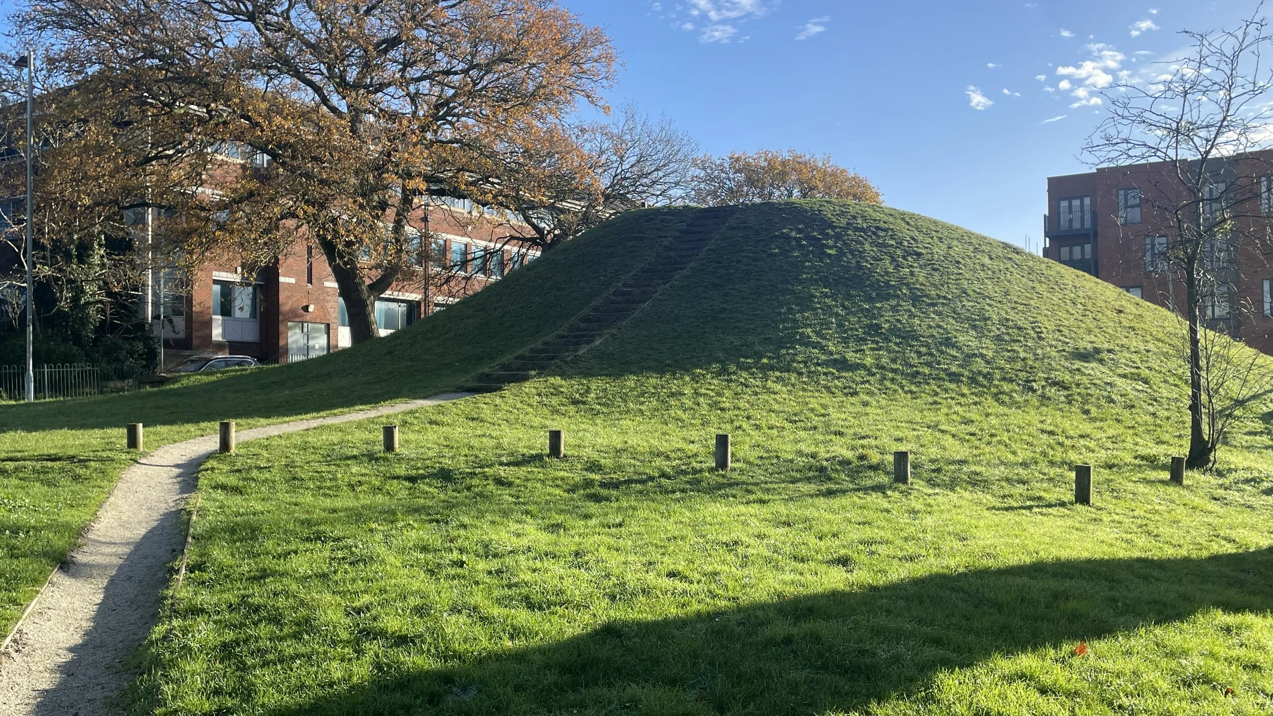
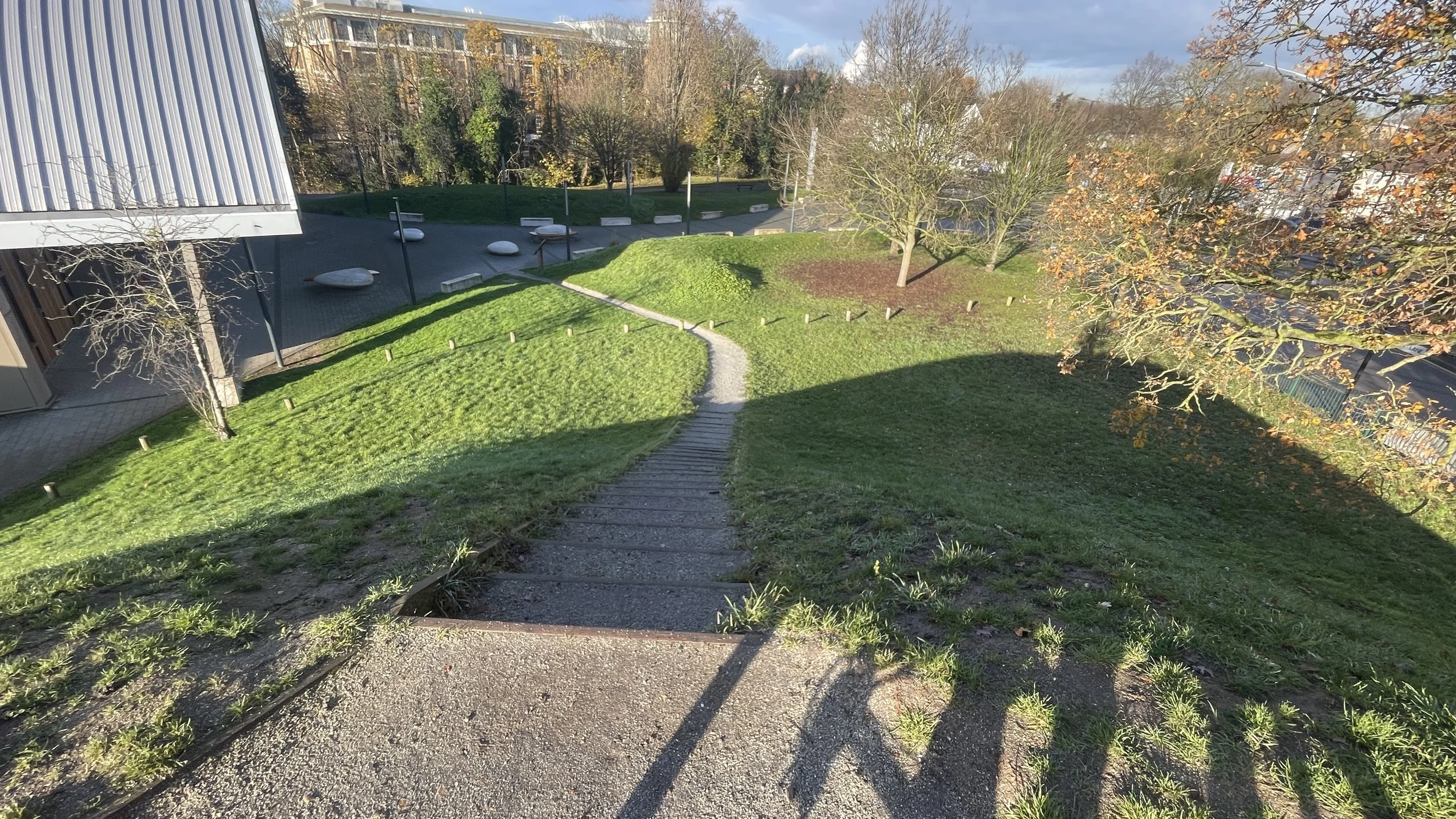
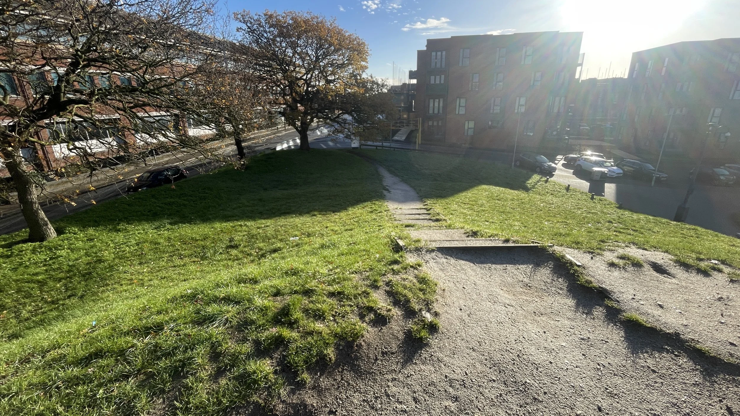
Bonus peak: The Montem Mound
If you’ve got some energy left after scaling East Burnham Park there’s another summit to bag approximately 4km to the south. According to the Information board at its base: “Montem Mound at Salt Hill is a substantial built mound situated alongside Montem Lane. It is roughly circular in shape with a diameter of 28m and remains of up to 6m high around the best preserved north-western half. The south-eastern part of the mound it less well preserved, having the appearance of being unfinished. In this area it rises as a series of three low scarps to a total height of 3.7m).”
More on The Montem Mound: Wikipedia, Slough Museum, Exploring GB
Thank you to Zayd Depaor who told me about The Montem Mound in the Comments below. I’ve lived and worked near Slough for many years and didn’t know about the Mound’s significance despite having driven past it many times. I reached the summit on a brief diversion following NCN route 461 from Windsor to Burnham Beeches.