Walking The Three Castles Path Part 1: Windsor to Greywell

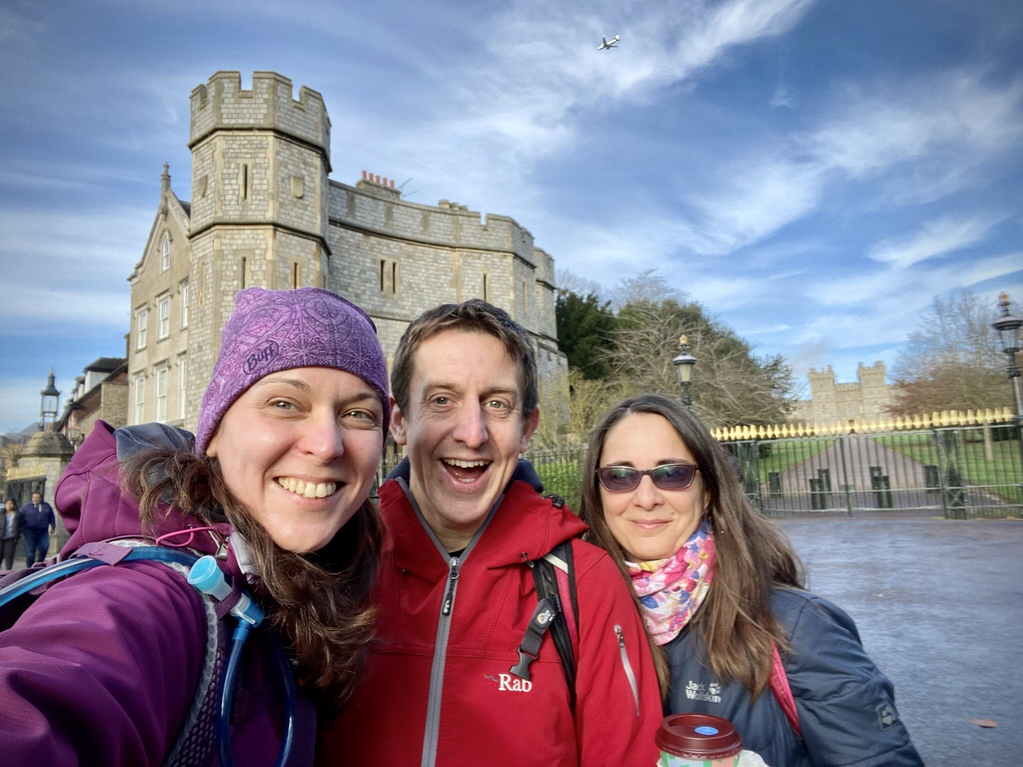
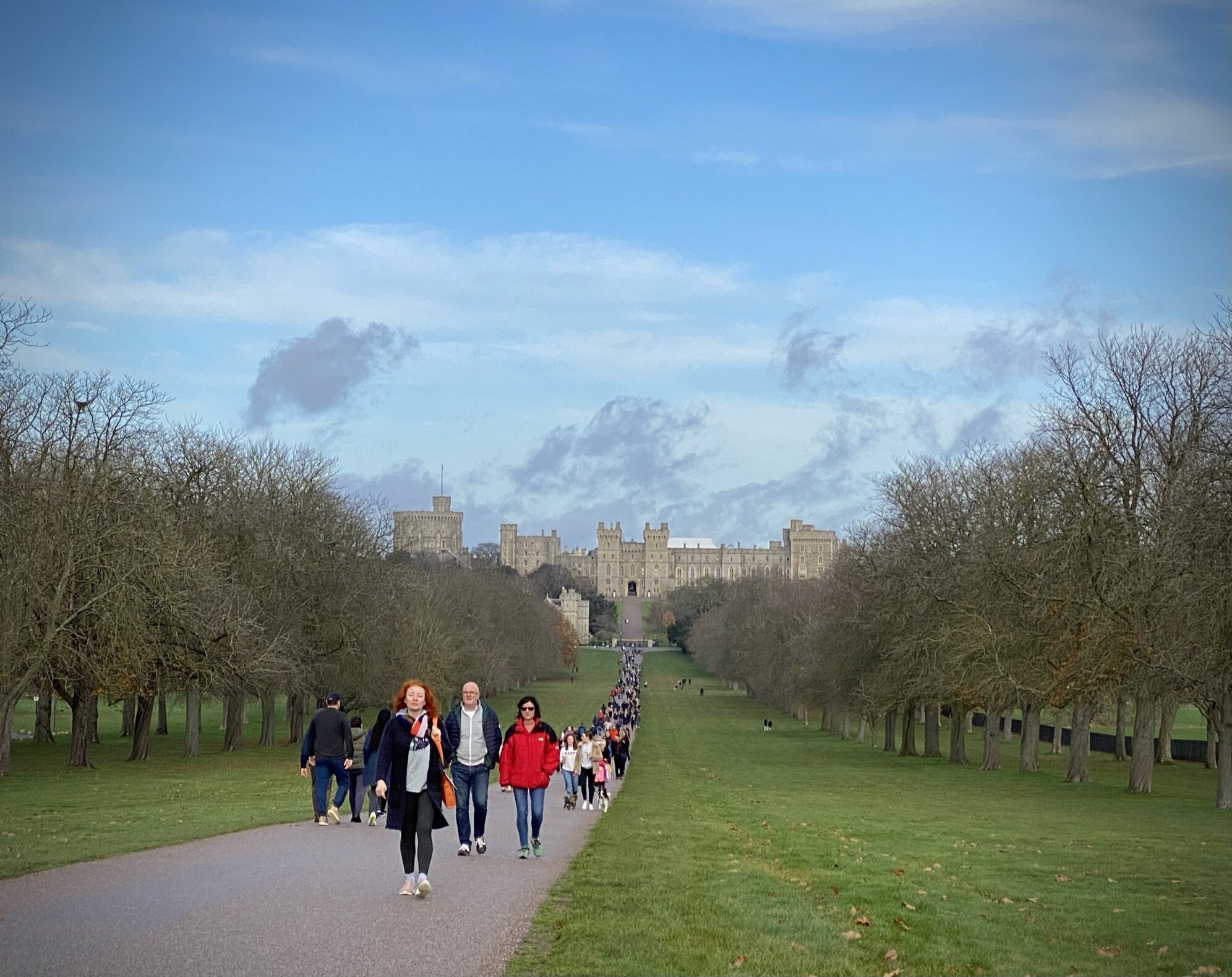
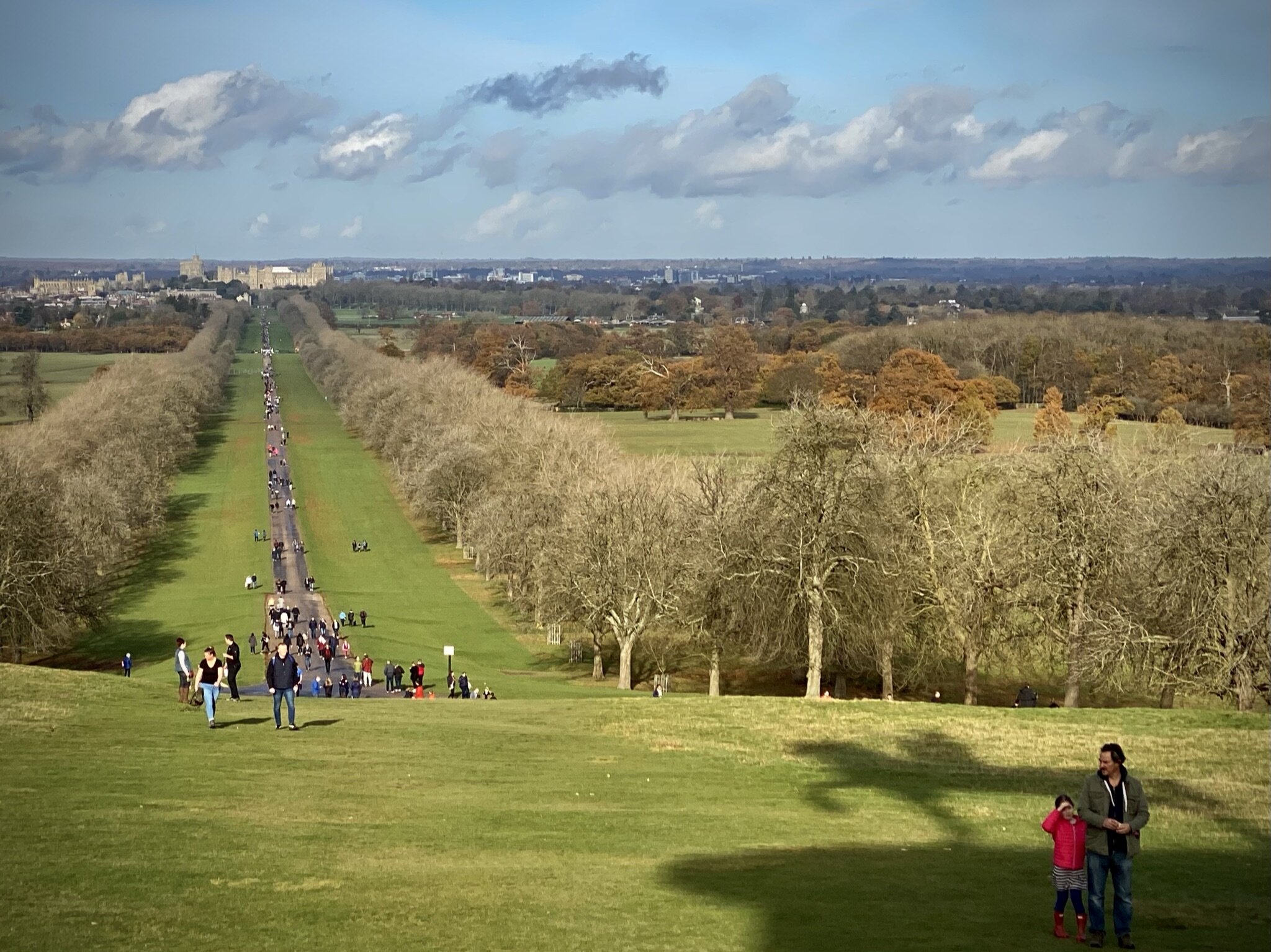
Windsor Castle and the start of the Three Castles Path
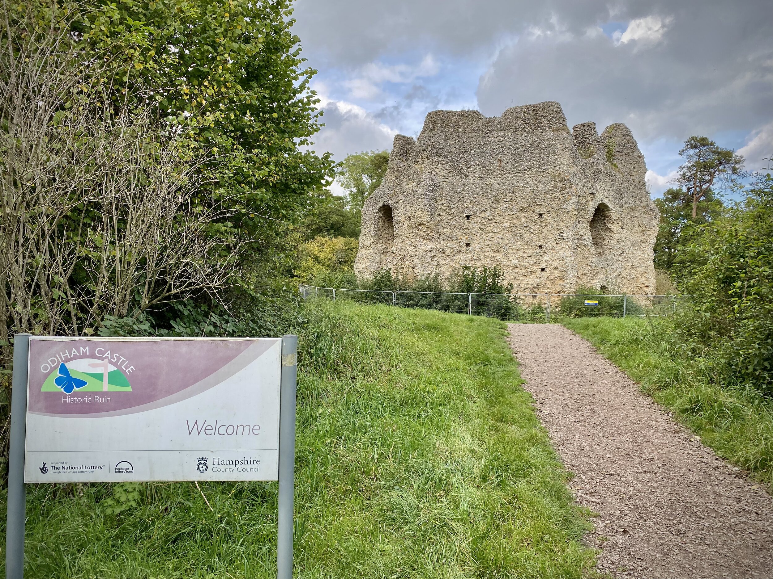
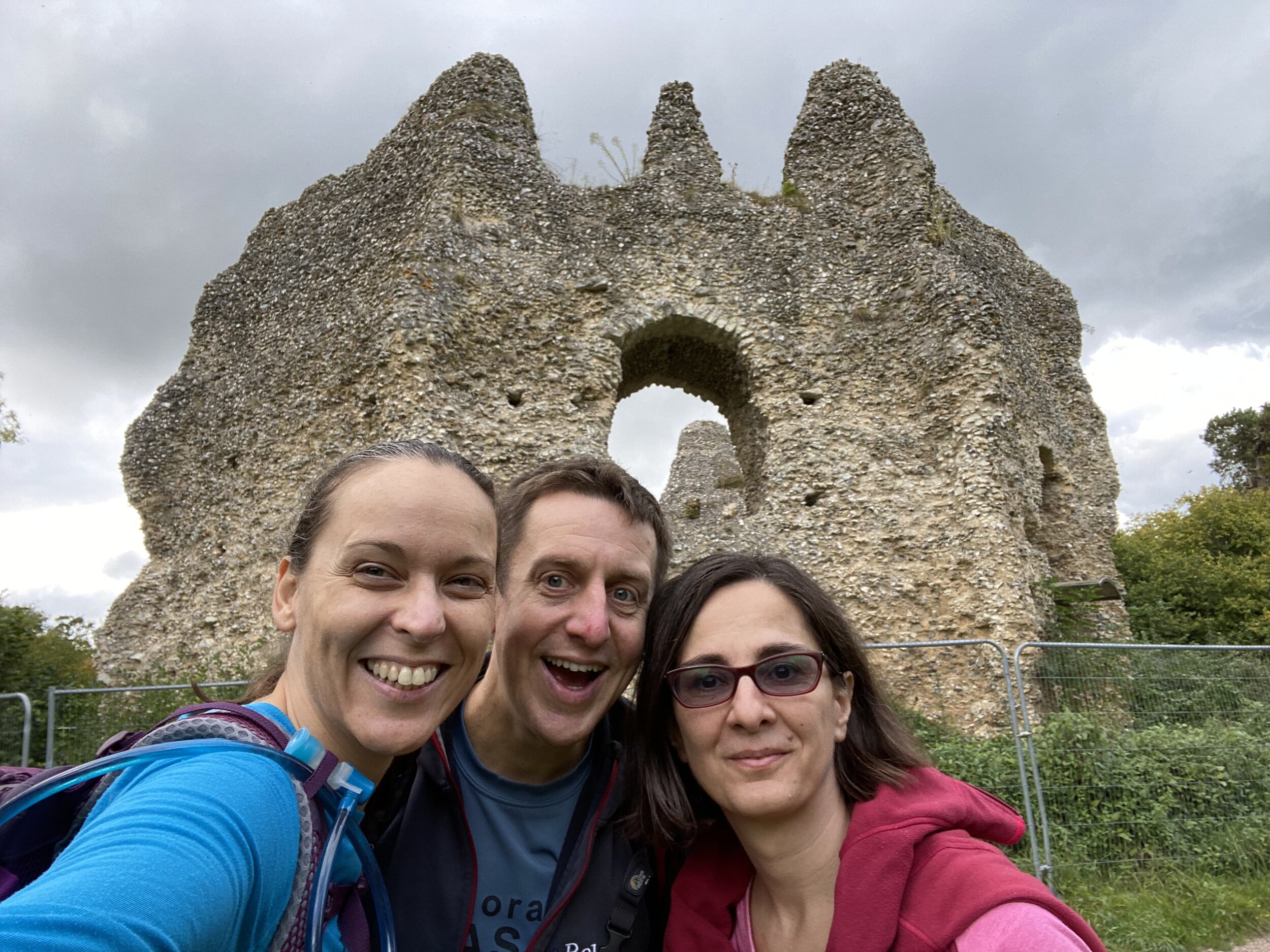
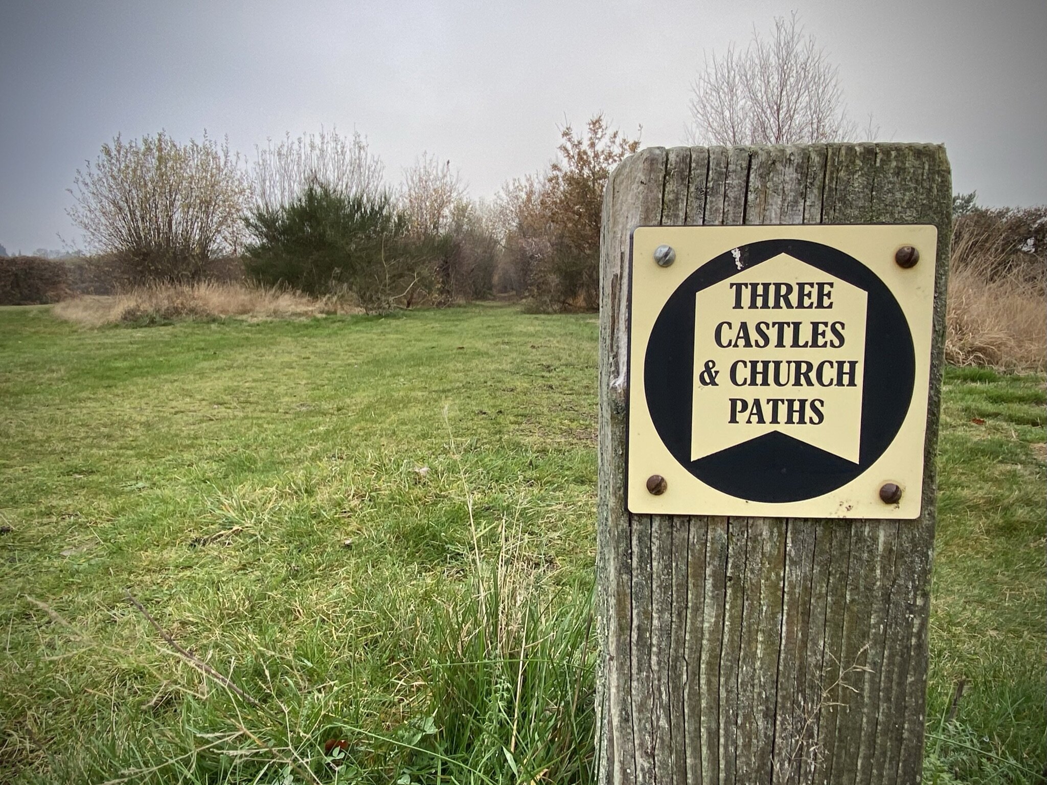
The Three Castles Path is a 60 mile trail from Windsor to Winchester, inspired by the travels of King John. The three castles that it refers to are Windsor Castle, Winchester Castle, and King John’s own Odiham castle at the half way point. The trail is very well described in the short guidebook The 3 Castles Path by Heron Maps.
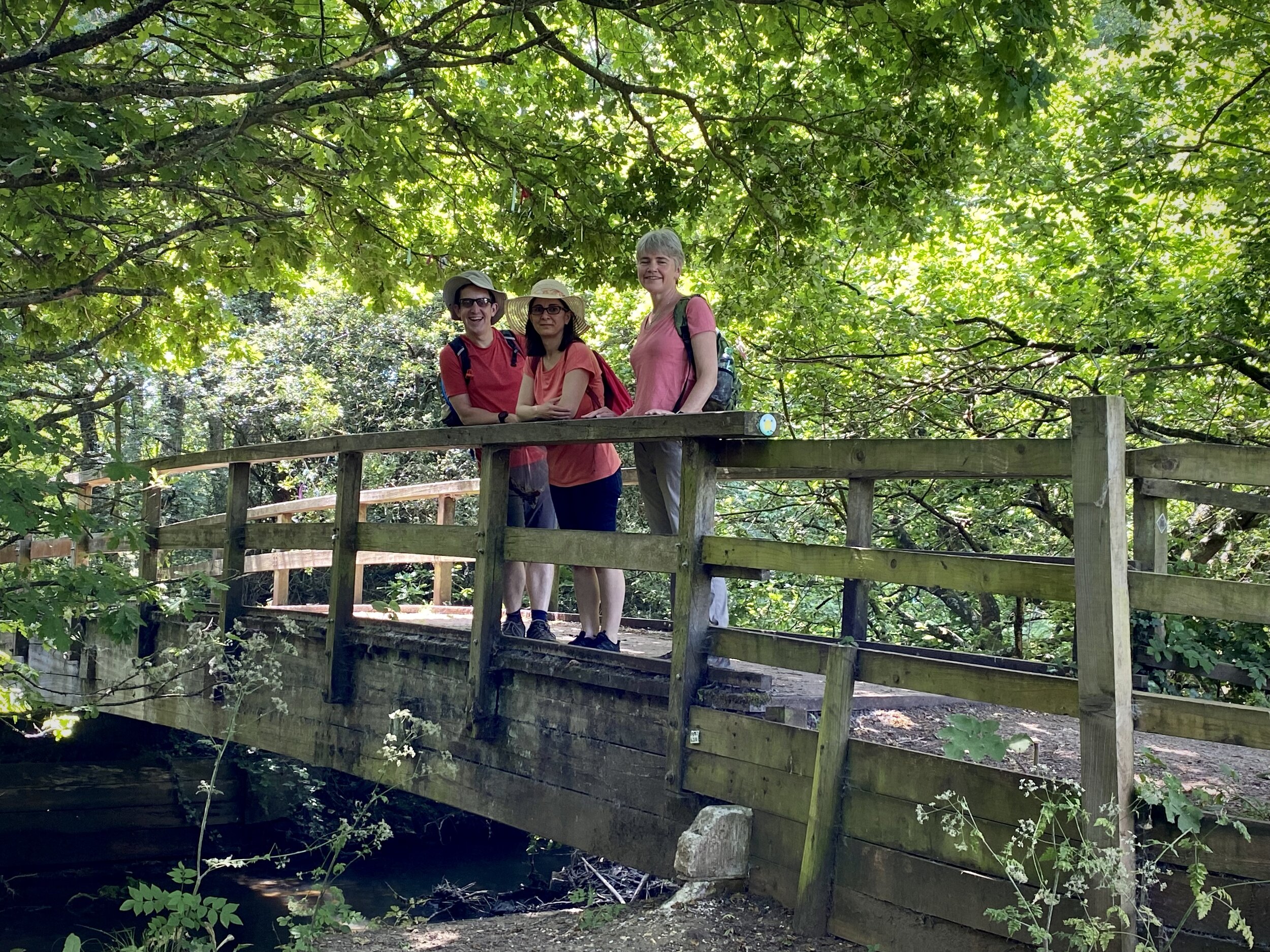
Our journey along the path was a reunion of our small group that did the Caminos Ingles and Finisterre in 2019. The Covid lockdowns had thwarted many of our plans for long trips so we covered this first section of the path in sections around the Lockdowns. Our trip was based on roughly 10k sections with good parking options at either end. These are different sections to those described in the guidebook which also details public transport options.
We’ll get to the second half of the path another time. It’s further from home with fewer parking options on some sections so will need some more planning.
Section 1. Windsor Castle to Ascot
Start: Windsor Castle, Castle Hill, Windsor
Finish: Free car parking, High Street, Ascot, SL5 7HS
Distance: 11.6 km (7.2 miles)
Elevation change: +128m / -90m. Net +38m
GPX File: get via Buy Me a Coffee
Other routes touched (walk): None
Other routes touched (cycle): NCN 4, Ascot To Windsor Cycle Route, Round Berkshire Cycle Route 52
Pubs / Cafes on route: None on route but several in Windsor and Ascot High Streets
Map: OS Explorer Map (160) Windsor, Weybridge & Bracknell
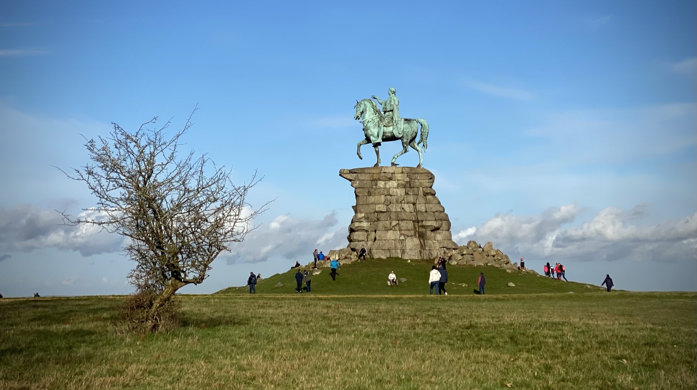
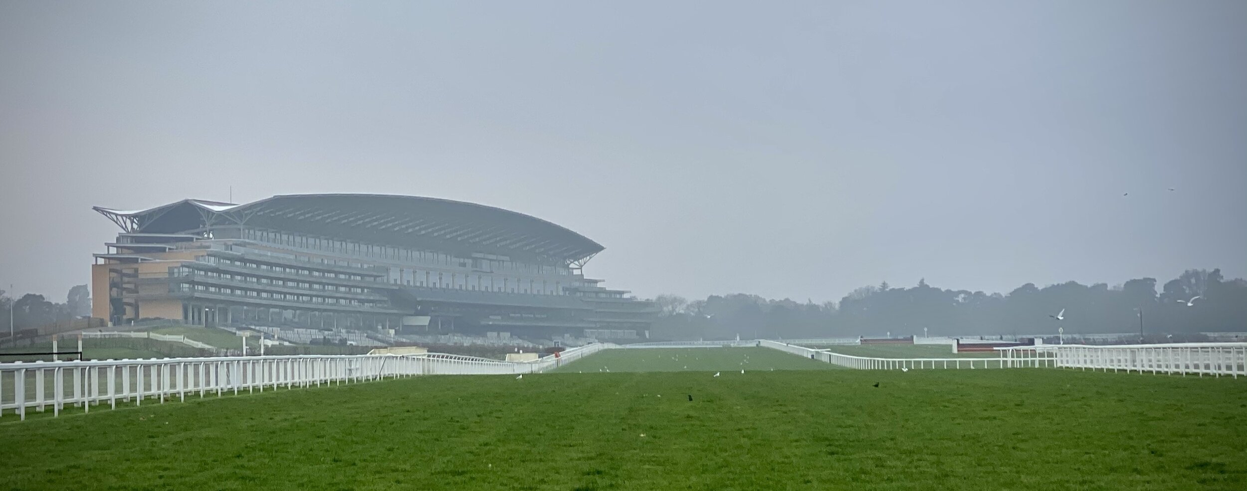
Links: Windsor, Windsor Castle, Windsor Great Park, Ascot, Ascot Racecourse


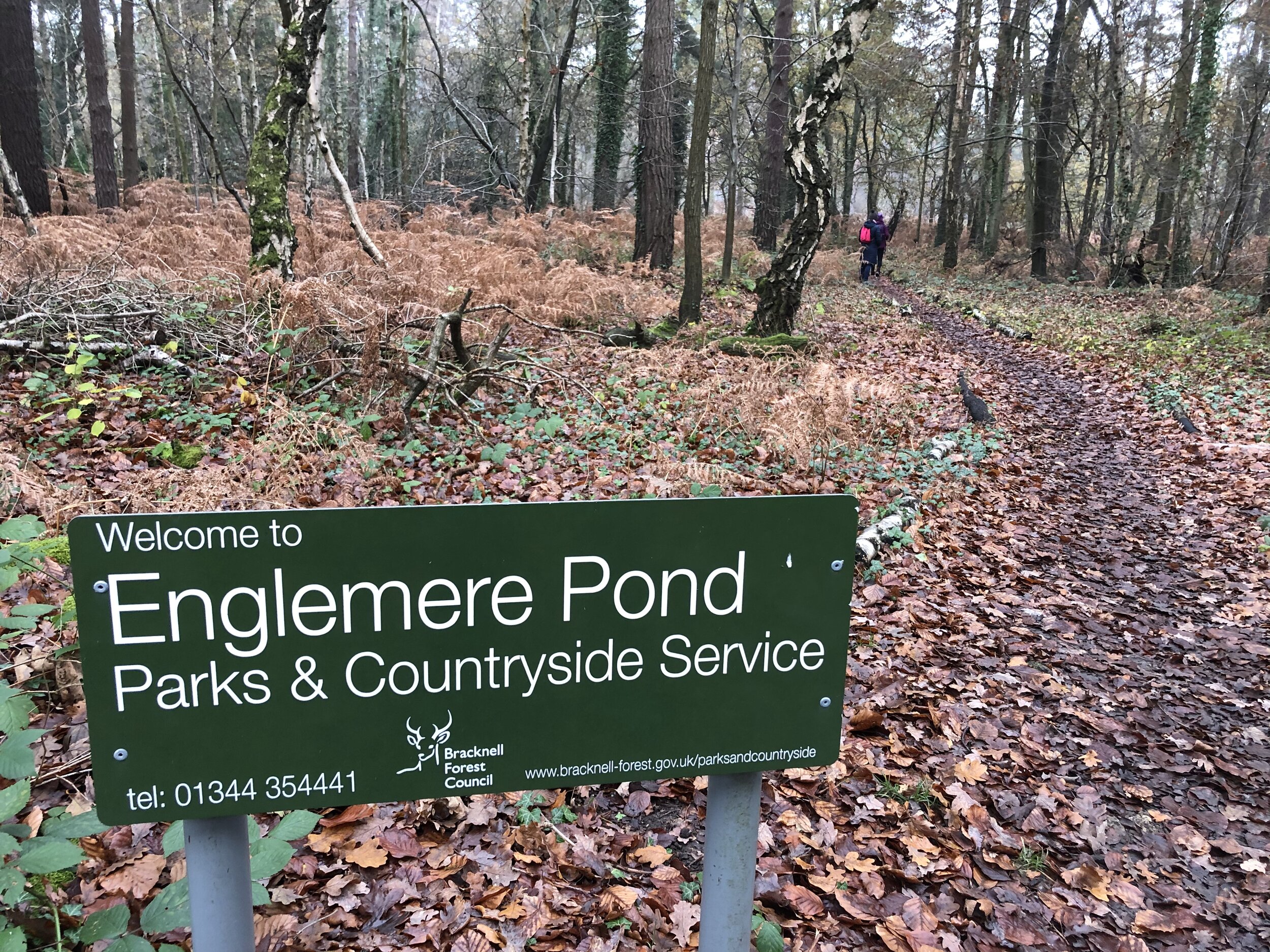
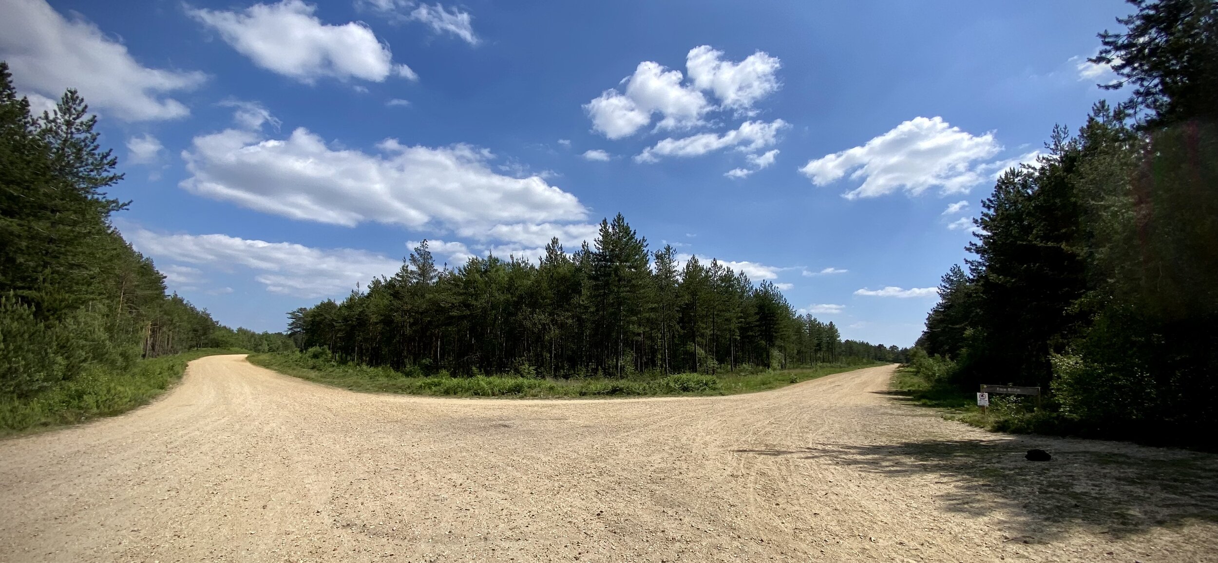
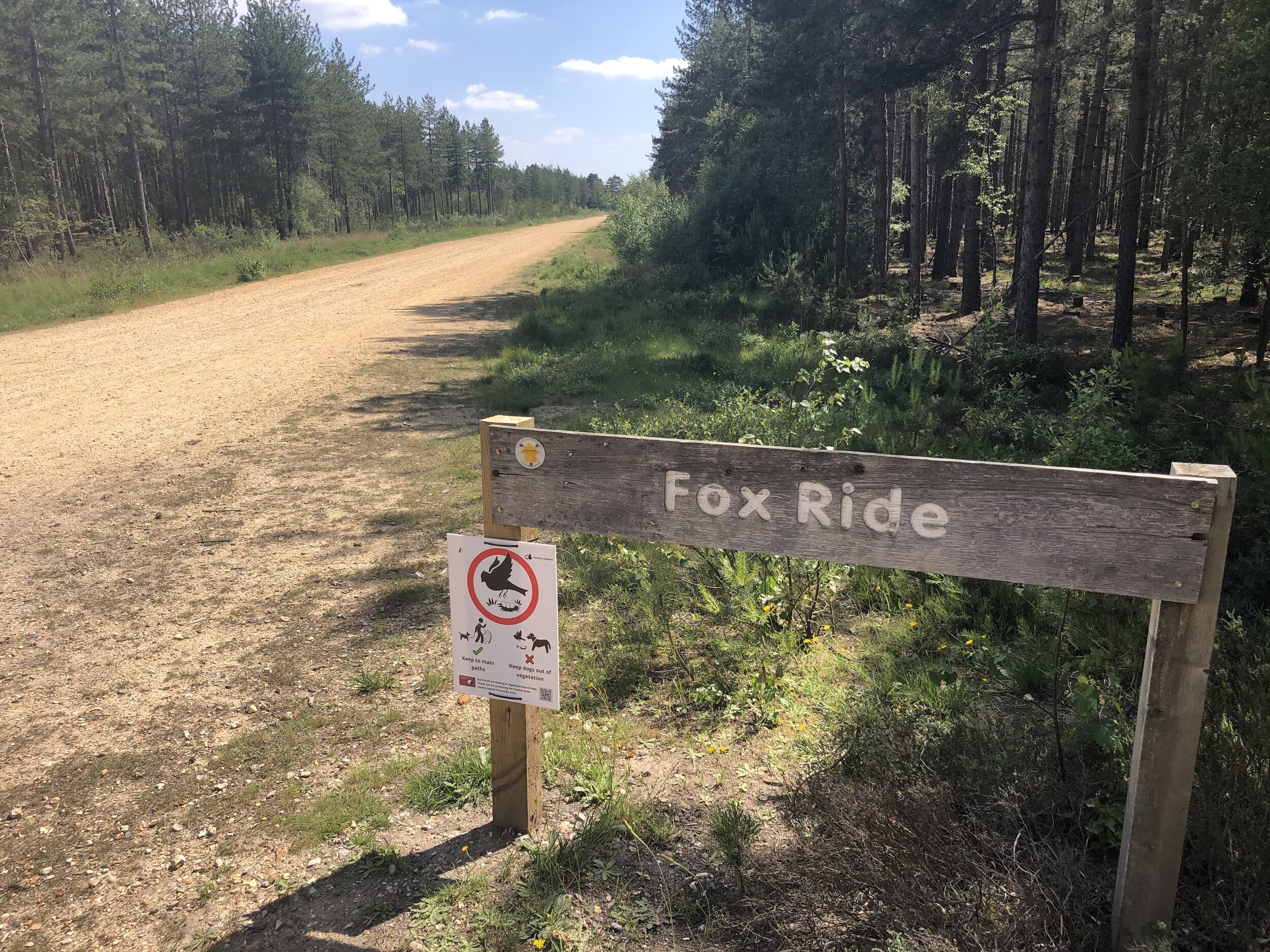
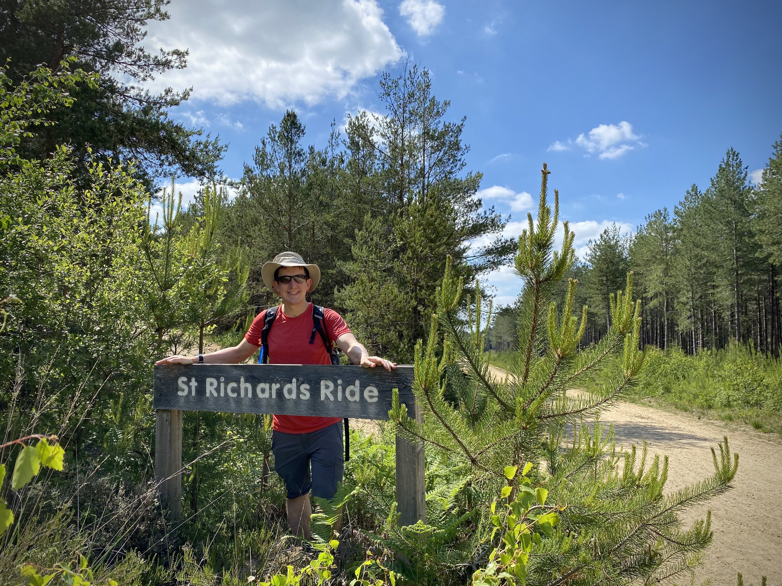
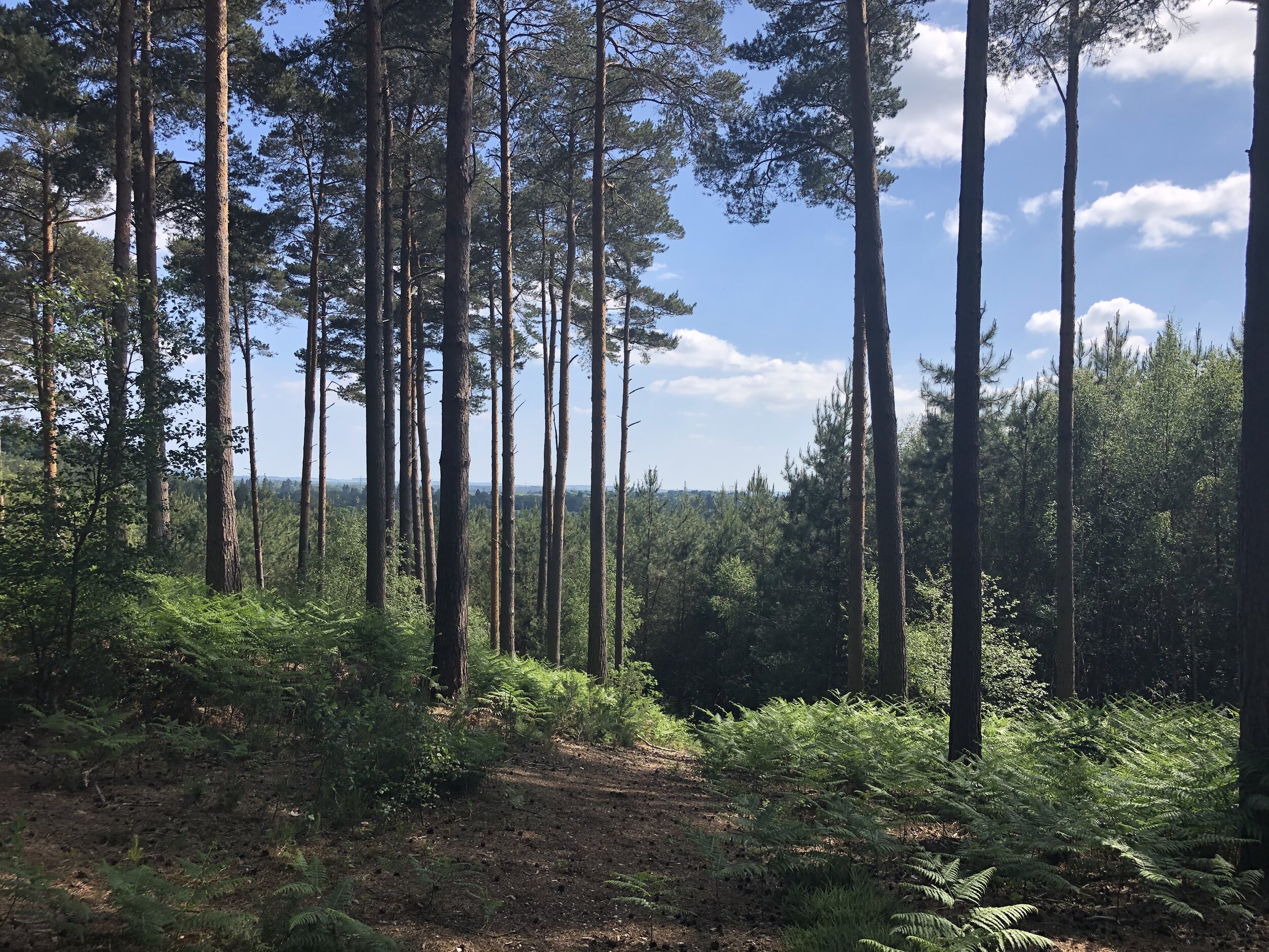
Section 2. Ascot to Swinley Forest
Start: Free car parking, High Street, Ascot, SL5 7HS
Finish: The Look Out Discovery Centre, Nine Mile Ride, Bracknell, RG12 7QW
Distance: 8.3 km (5.2 miles)
Elevation change: +68m / -41m. Net +27m
GPX File: get via Buy Me a Coffee
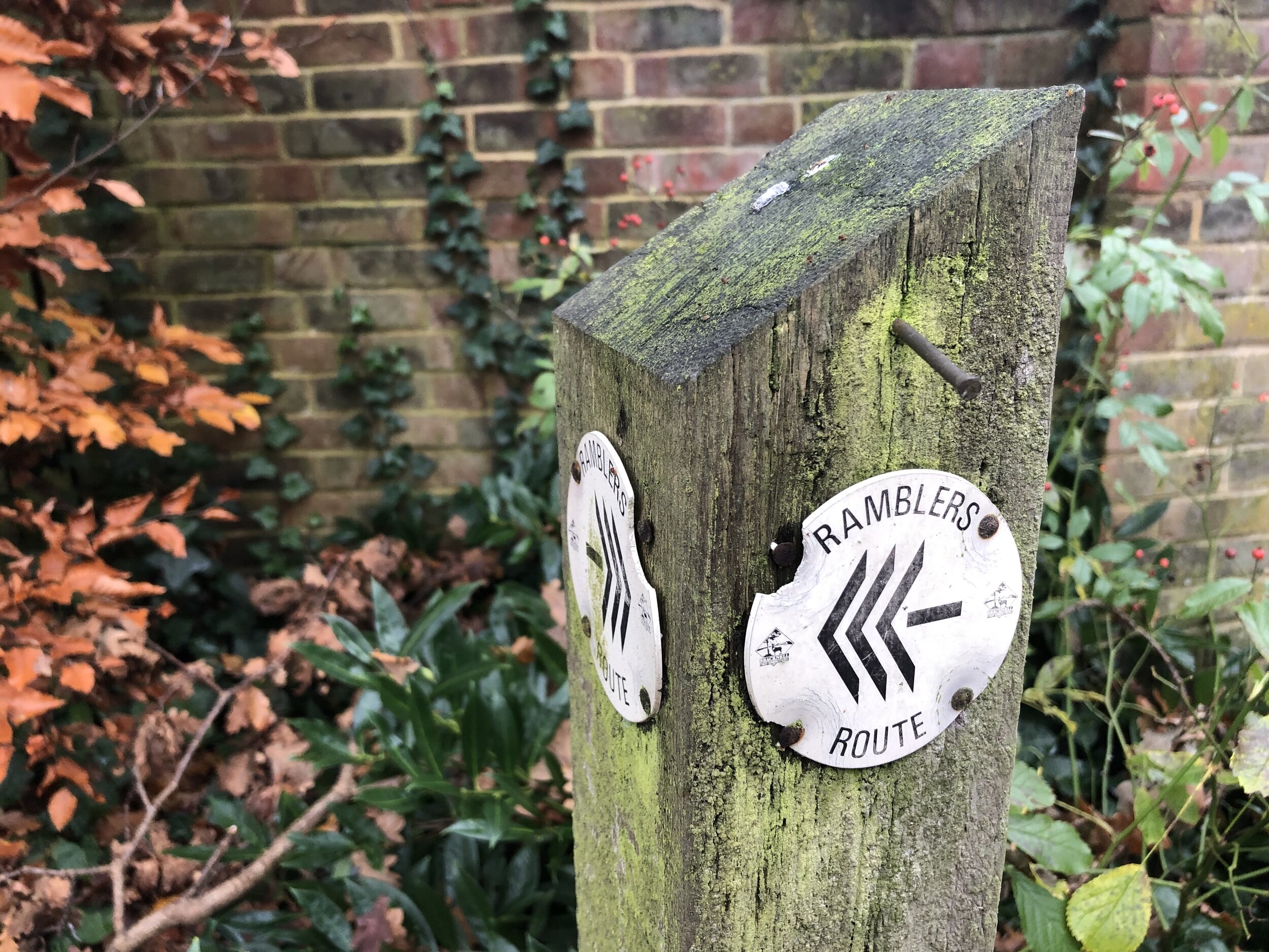
Other routes touched (walk): Ramblers’ Route
Other routes touched (cycle): NCN 422, Ascot To Windsor Cycle Route
Pubs / Cafes on route: None on route but The Look-out has a cafe and Horseshoe Lake has a kiosk.
Map: OS Explorer Map (160) Windsor, Weybridge & Bracknell
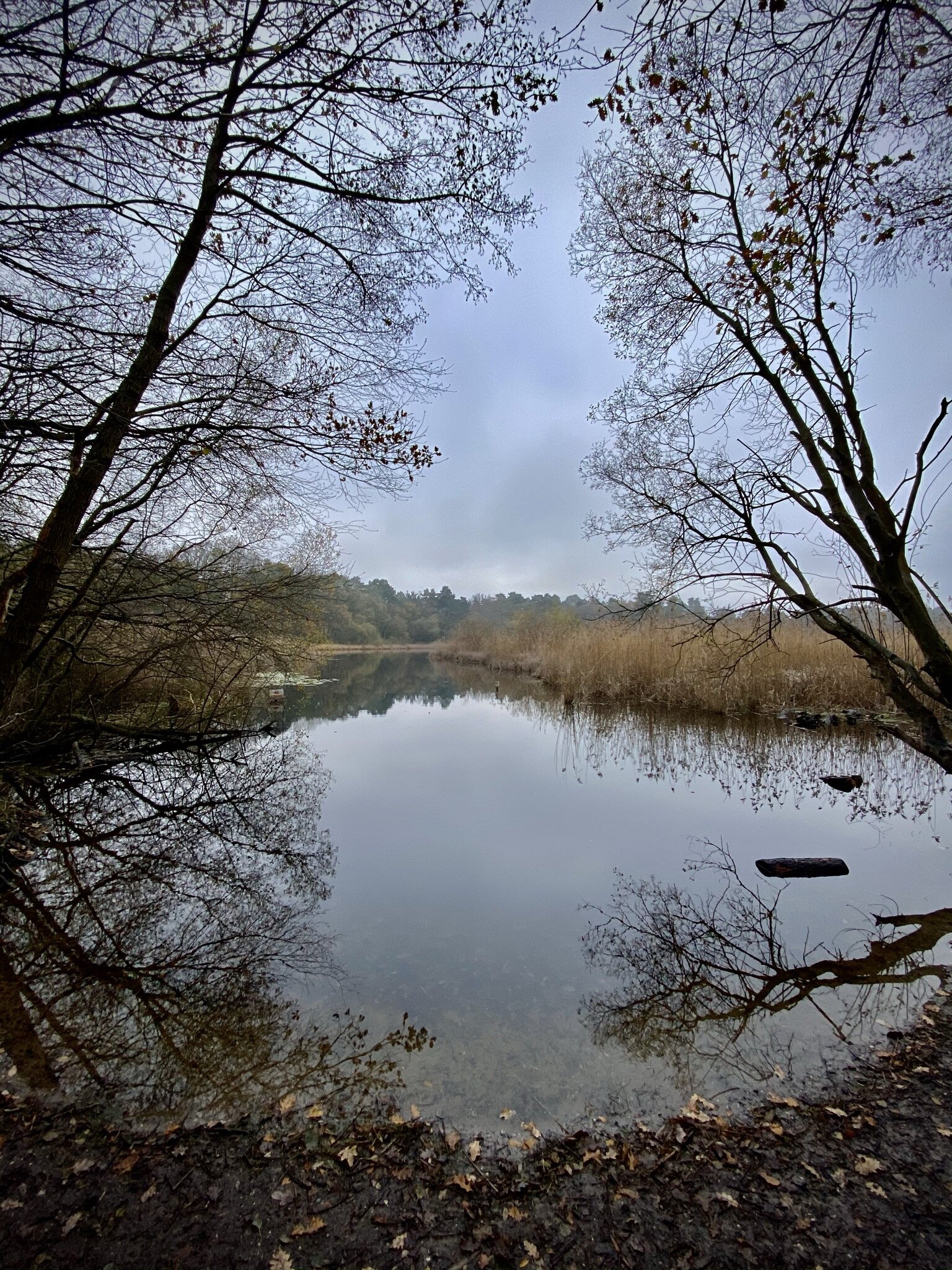
Links: Ascot, Ascot Racecourse, North Ascot, Swinley Forest, The Lookout Discovery Centre

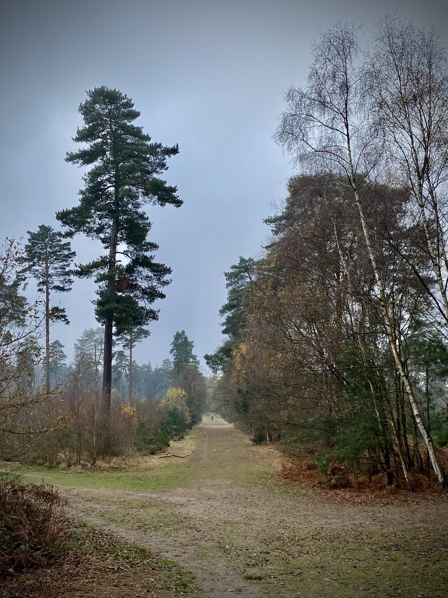
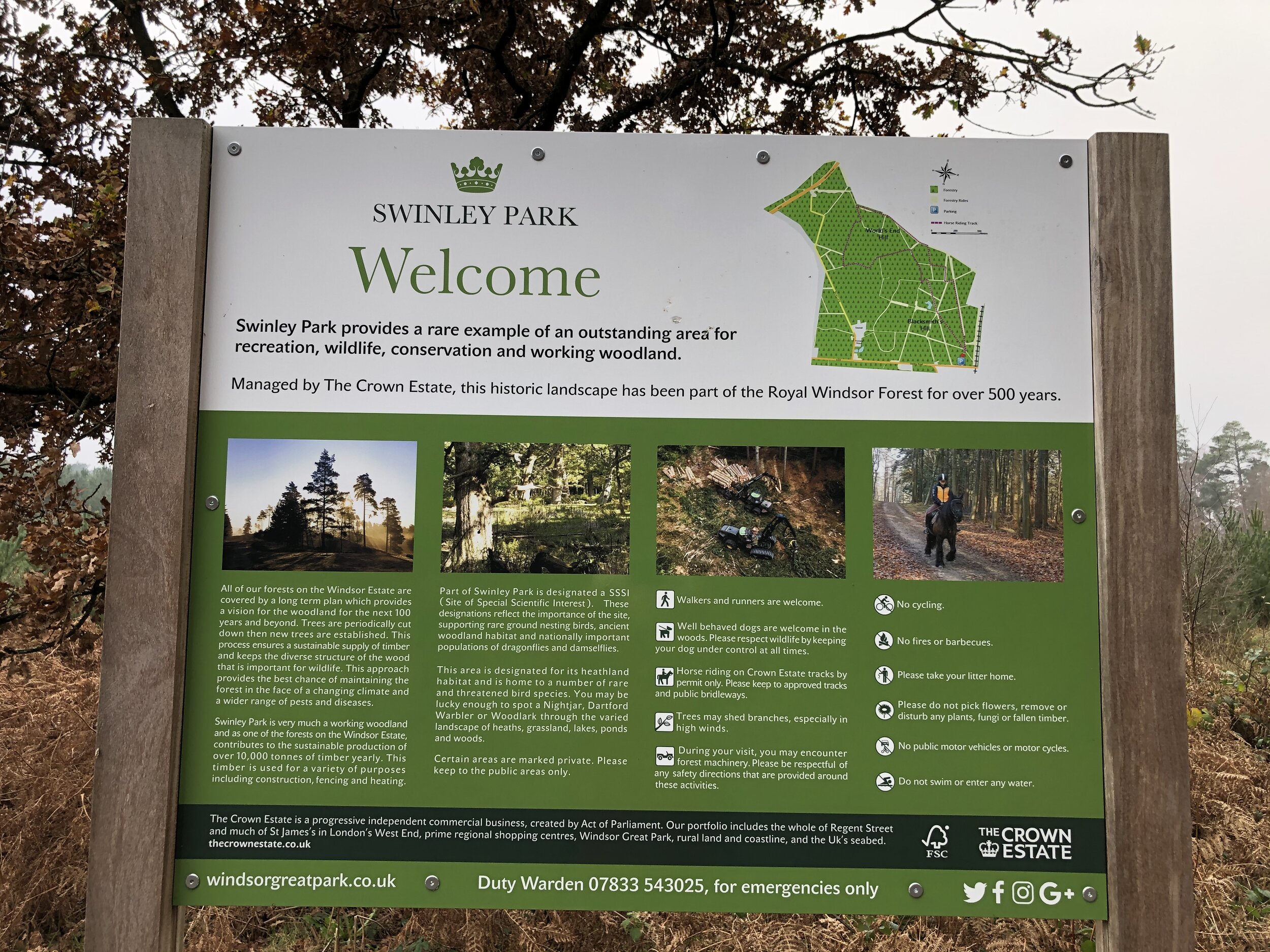
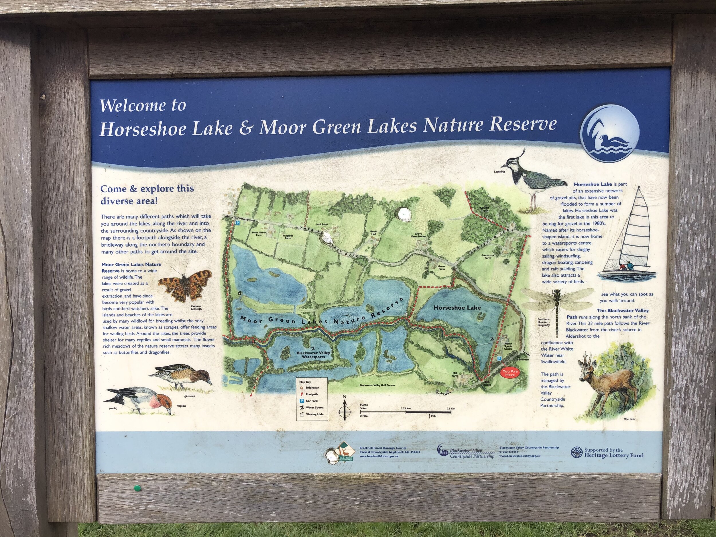
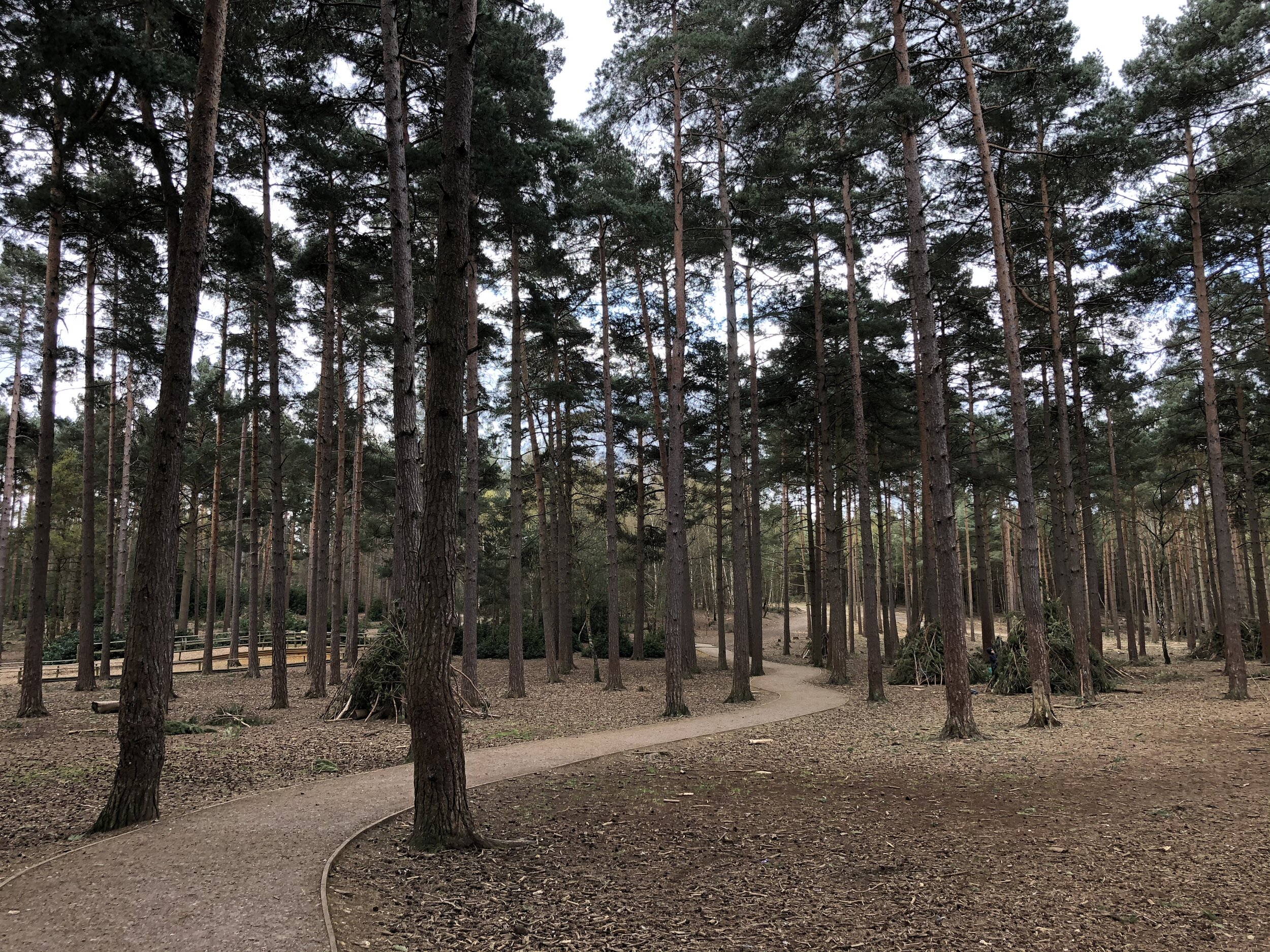
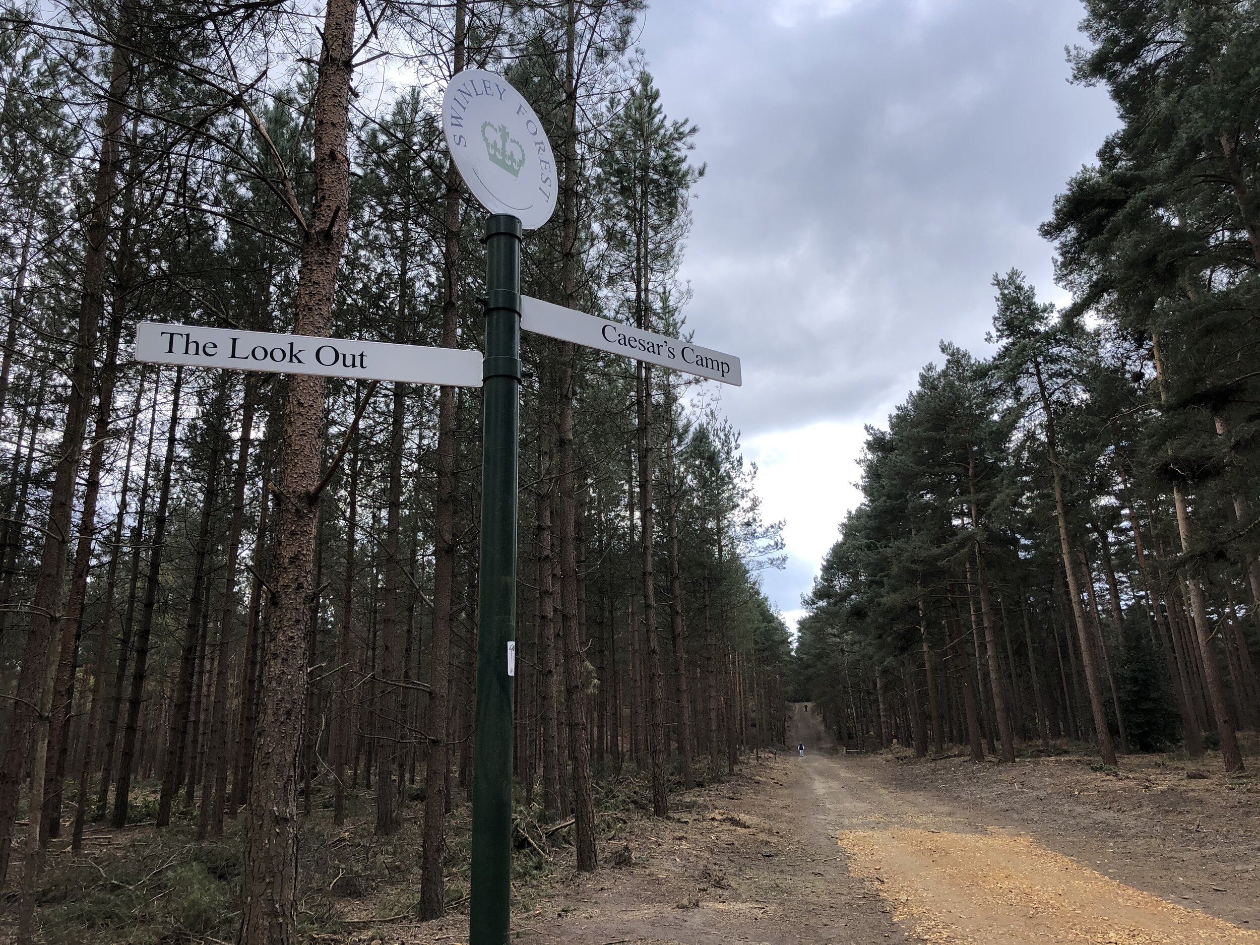
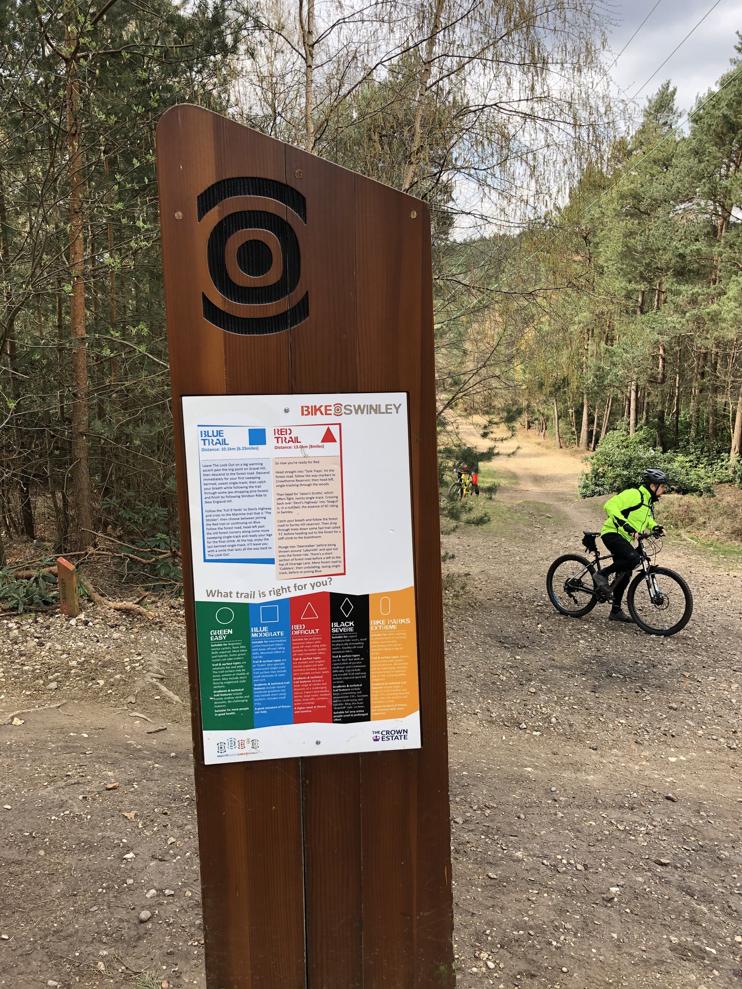
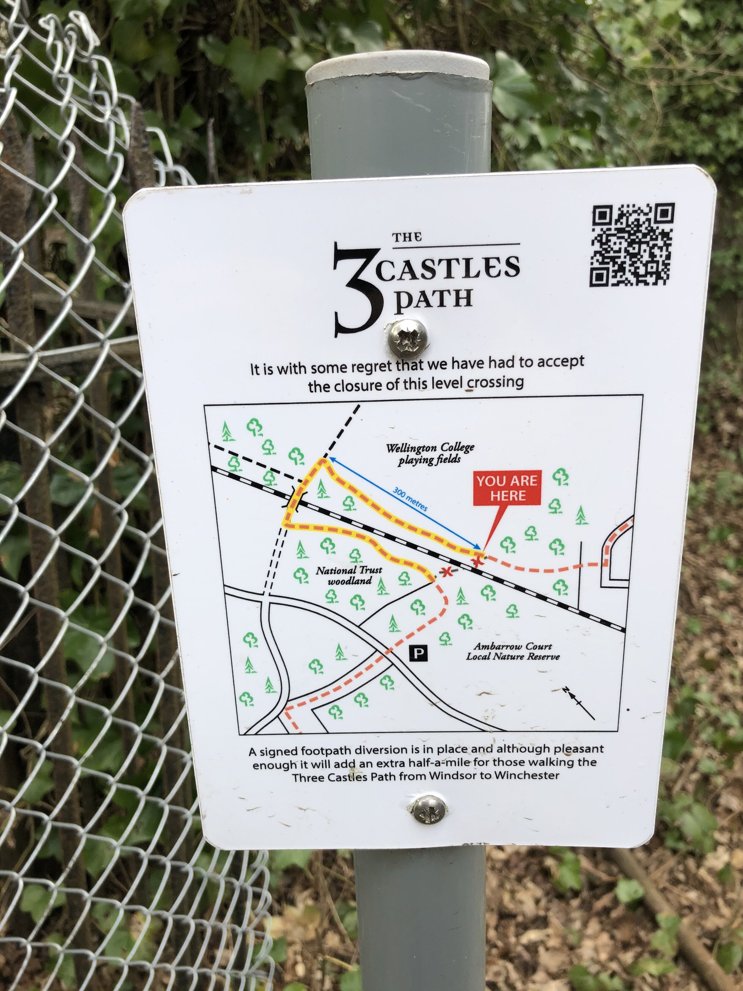
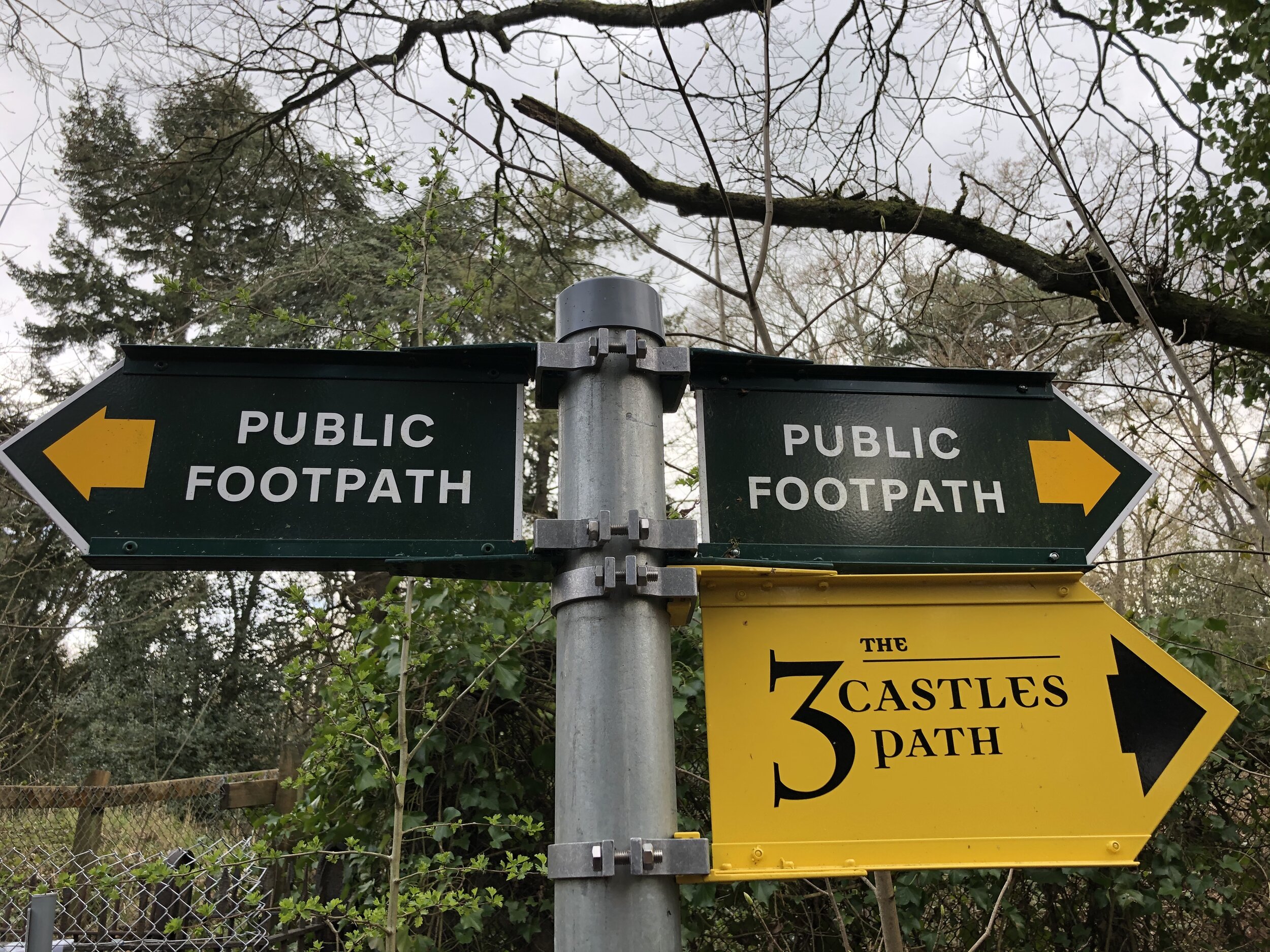
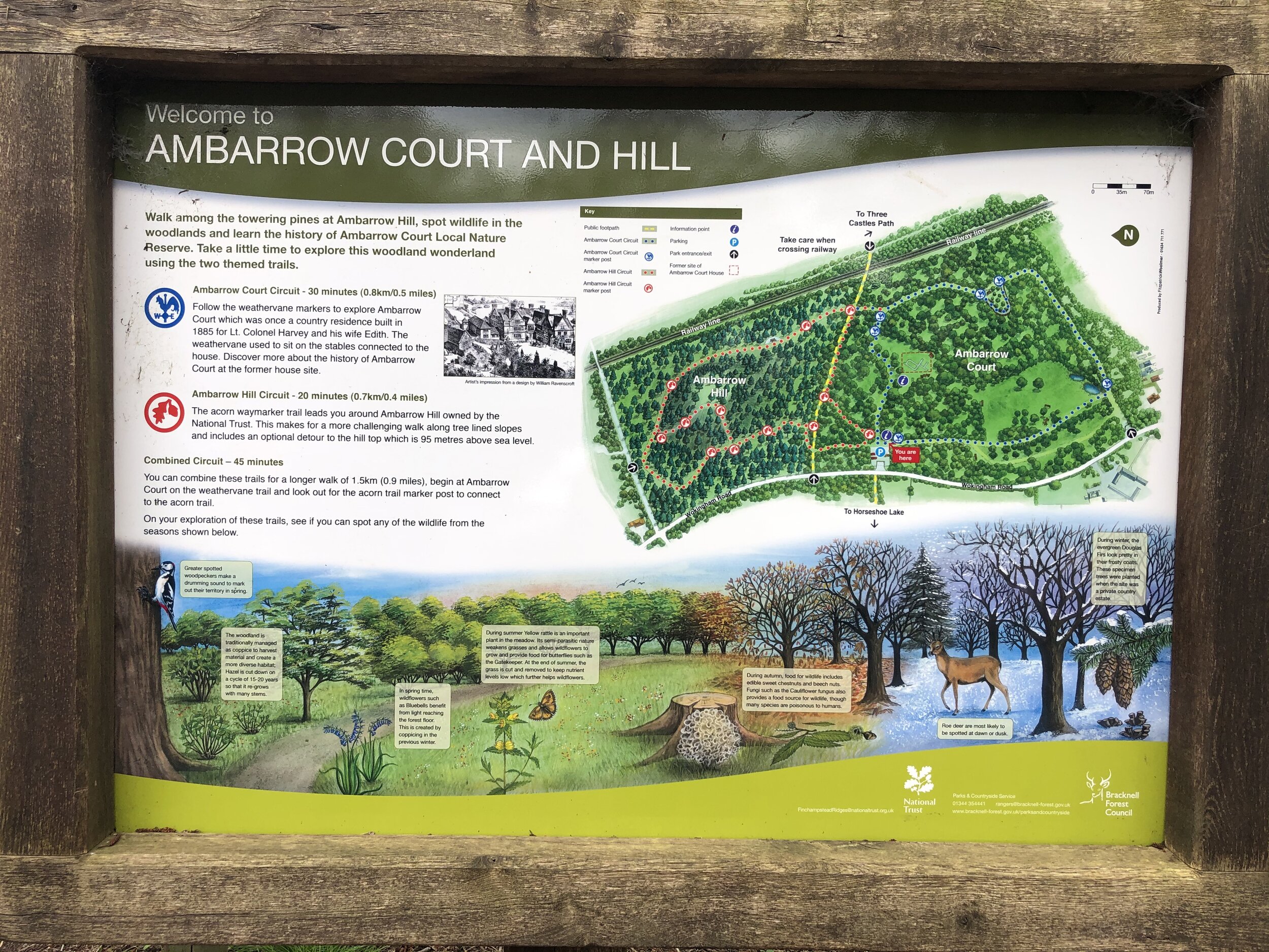
Section 3. Swinley Forest to Horeshoe Lake
Start: The Look Out Discovery Centre, Nine Mile Ride, Bracknell, RG12 7QW
Finish: Horseshoe Lake Car Park, Sandhurst, GU47 8JW
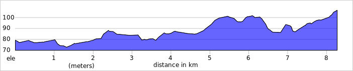
Distance: 10 km (6.1 miles)
Elevation change: +74m / -127m. Net -53m
GPX File: get via Buy Me a Coffee
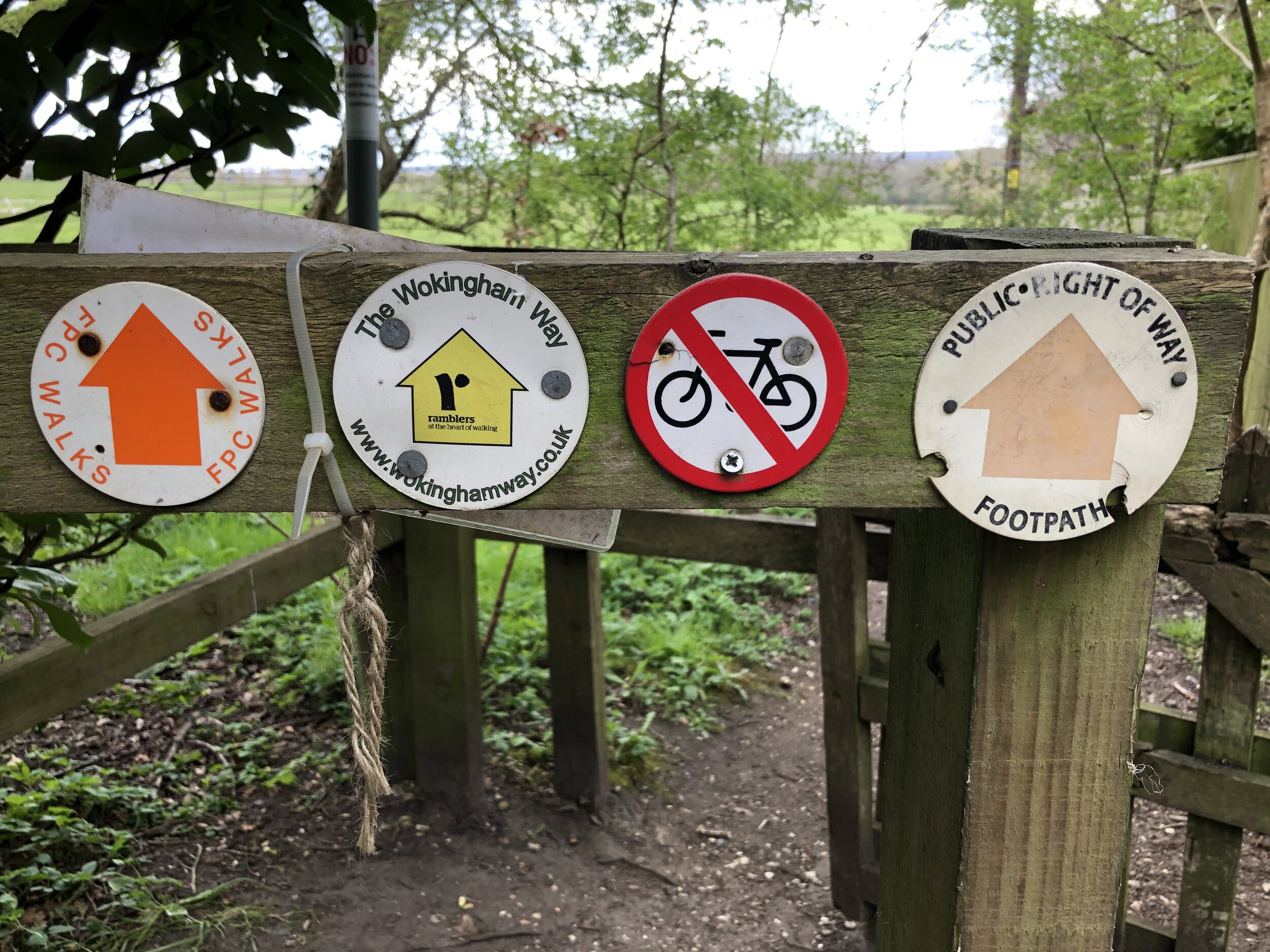
Other routes touched (walk): Ramblers’ Route, The Wokingham Way, Ambarrow Hill Circuit, Ambarrow Court Circuit
Other routes touched (cycle): Swinley Forest Mountain Bike Routes
Pubs / Cafes on route: None on route but The Look-out has a cafe and Horseshoe Lake has a kiosk.
Map: OS Explorer Map (160) Windsor, Weybridge & Bracknell and OS Explorer Map (159) Reading, Wokingham and Pangbourne
Links: Swinley Forest, The Lookout Discovery Centre, Broadmoor Hospital, Sandhurst, Horseshoe Lake

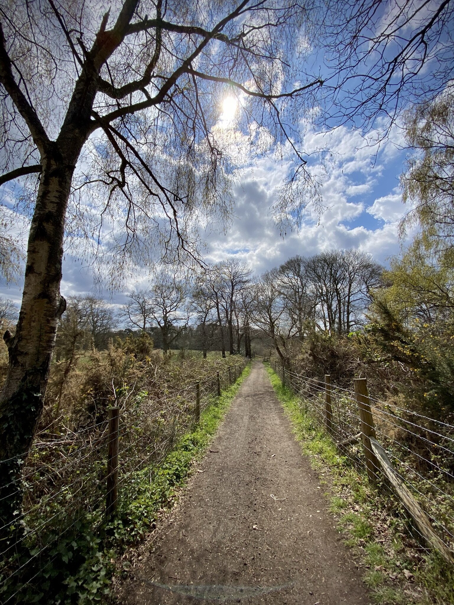

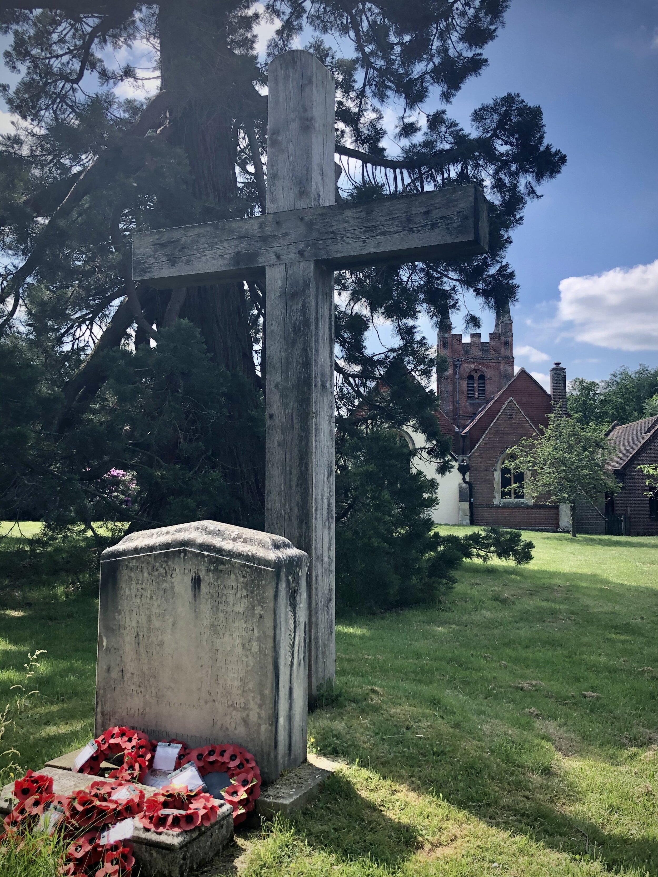
Section 4. Horseshoe Lake to Hartley Wintney
Start: Horseshoe Lake Car Park, Sandhurst, GU47 8JW
Finish: Cricket Green, Hartley Wintney, Hook RG27 8QB. Parking at Hartley Wintney Long Stay, 484 Monachus Lane, Hartley Wintney, RG27 8NN
Distance: 12 km (7.5 miles)
Elevation change: +103m / -91m. Net -12m
GPX File: get via Buy Me a Coffee
Other routes touched (walk): The Wokingham Way, Blackwater Valley Park
Other routes touched (cycle): None
Pubs / Cafes on route: None on route but several in Hartley Wintney and Horseshoe Lake has a kiosk.
Map: OS Explorer Map (159) Reading, Wokingham and Pangbourne and OS Explorer Map (144) Basingstoke, Alton and Whitchurch
Links: Horseshoe Lake, Blackwater Valley, River Blackwater, River Hart, Hartley Wintney
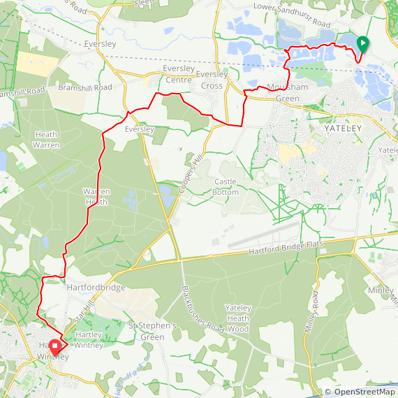
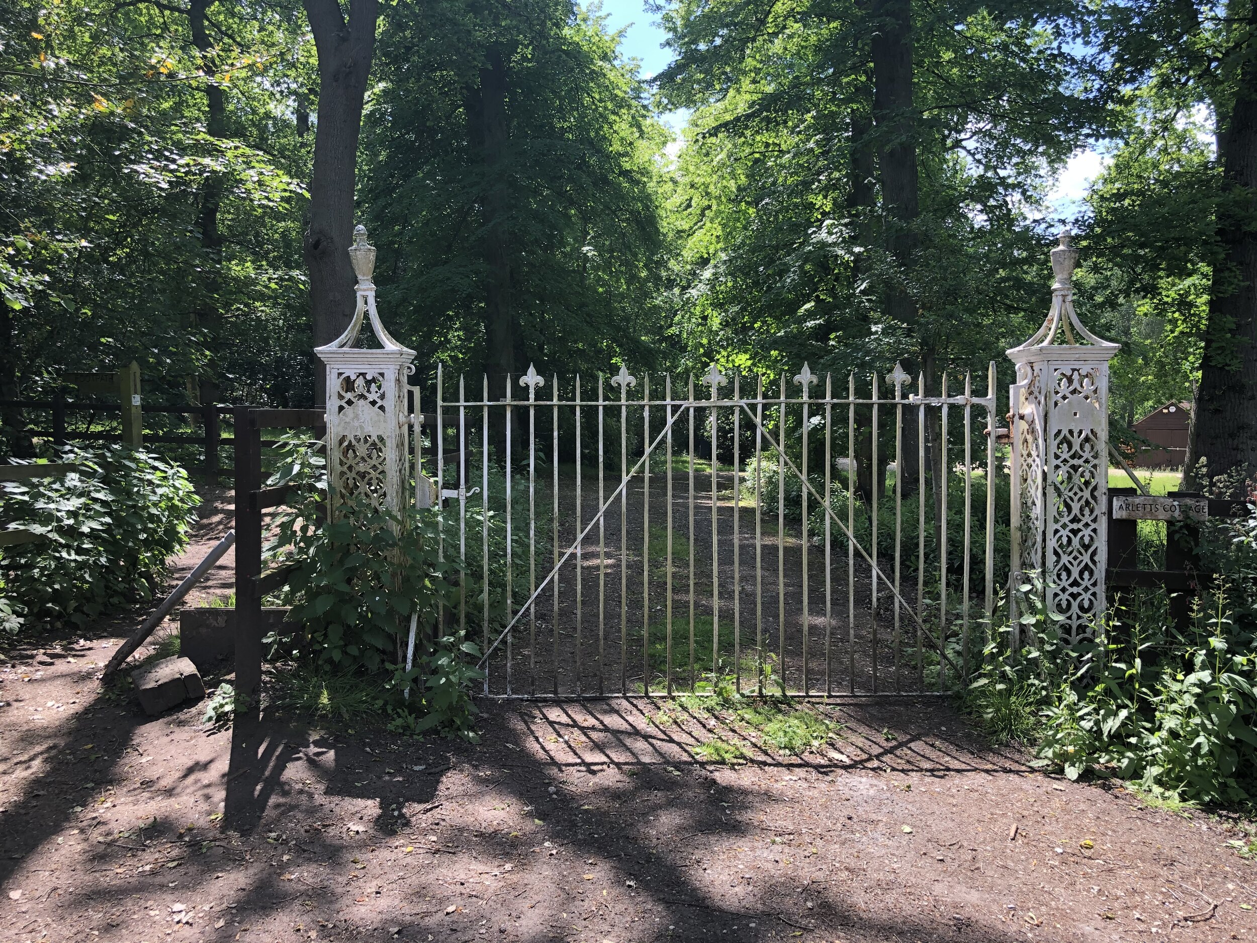

Section 5. Hartley Wintney to Greywell
Start: Cricket Green, Hartley Wintney, Hook RG27 8QB. Parking at Hartley Wintney Long Stay, 484 Monachus Lane, Hartley Wintney, RG27 8NN
Finish: Fox & Goose Pub, The Street, Hook, RG29 1BY
Distance: 11.9 km (7.5 miles)
Elevation change: +79m / -61m. Net -18m
GPX File: get via Buy Me a Coffee
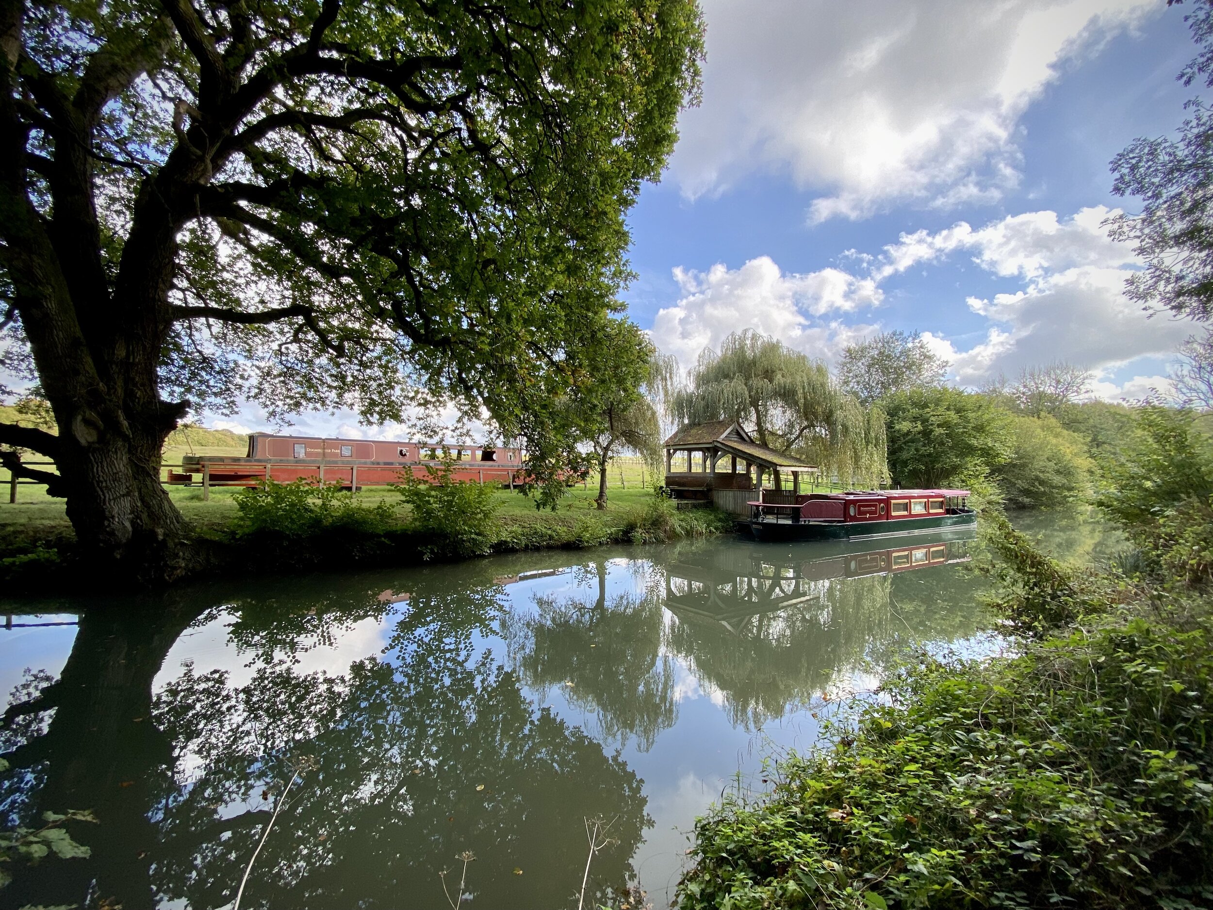
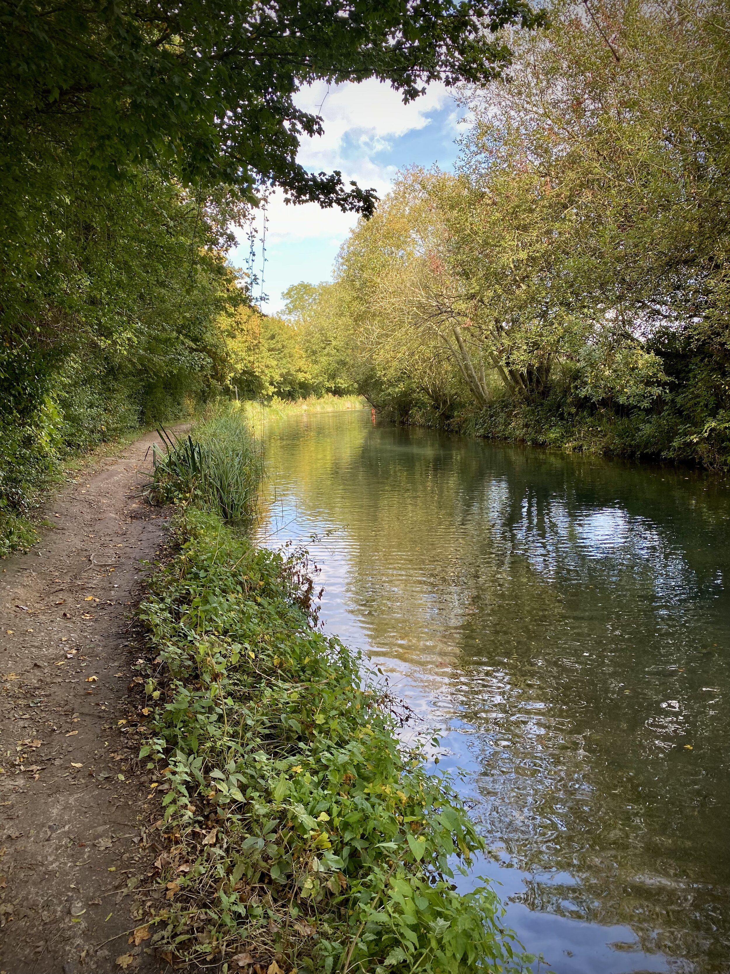
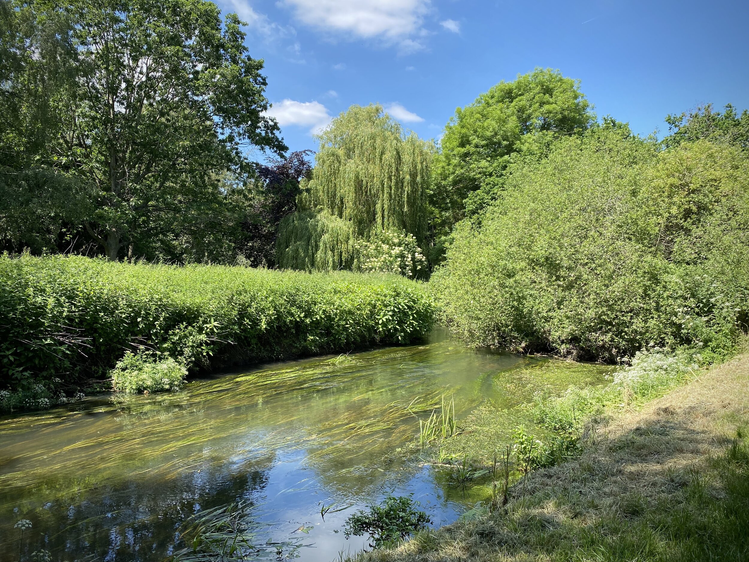
Other routes touched (walk): Basingstoke Canal Towpath
Other routes touched (cycle): Odiham Circular
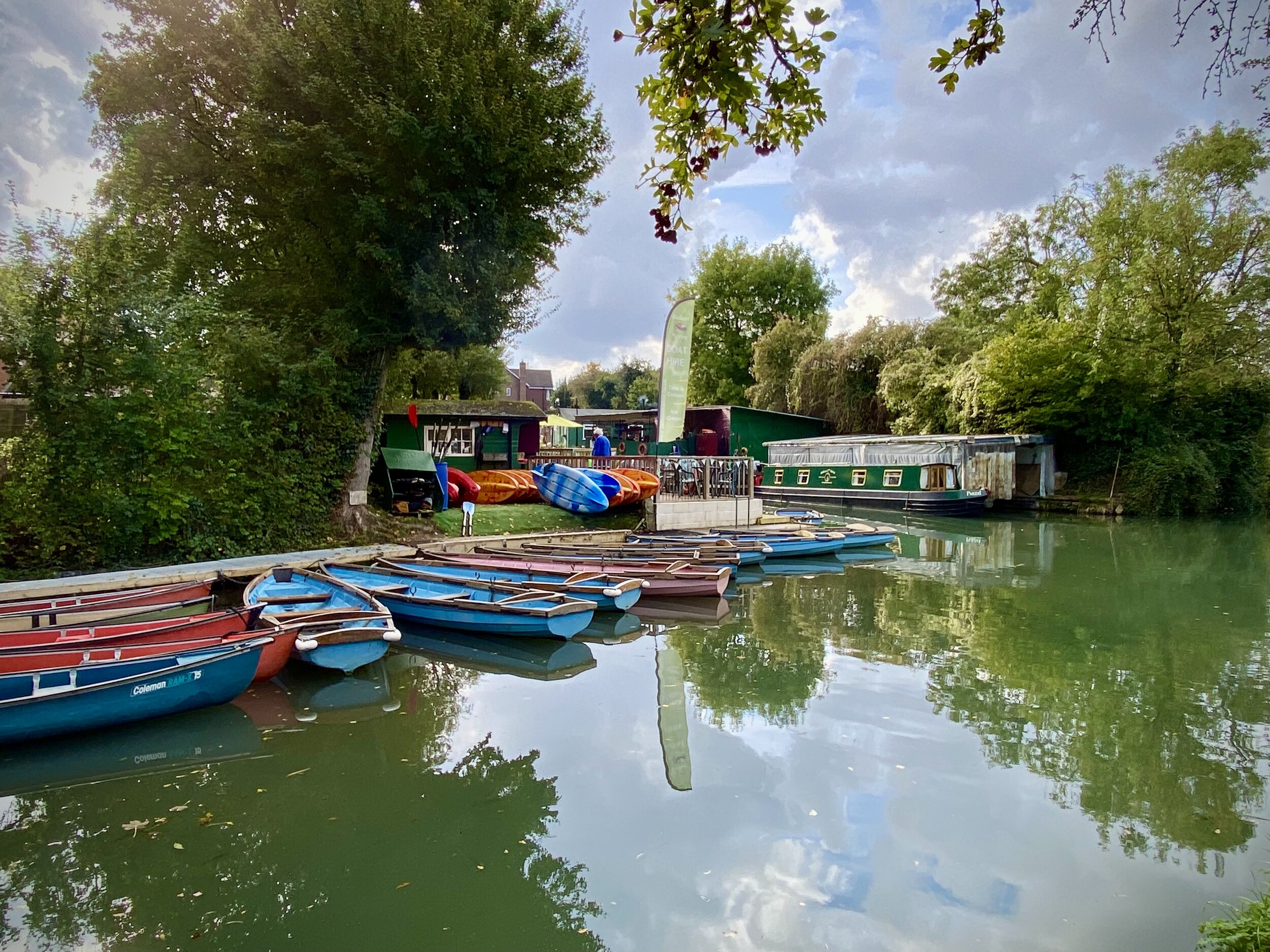
Pubs / Cafes on route: Several on Hartley Wintney High Street at start, the Waterwitch in Odiham and The Fox and Goose at the end.
Map: OS Explorer Map (144) Basingstoke, Alton and Whitchurch
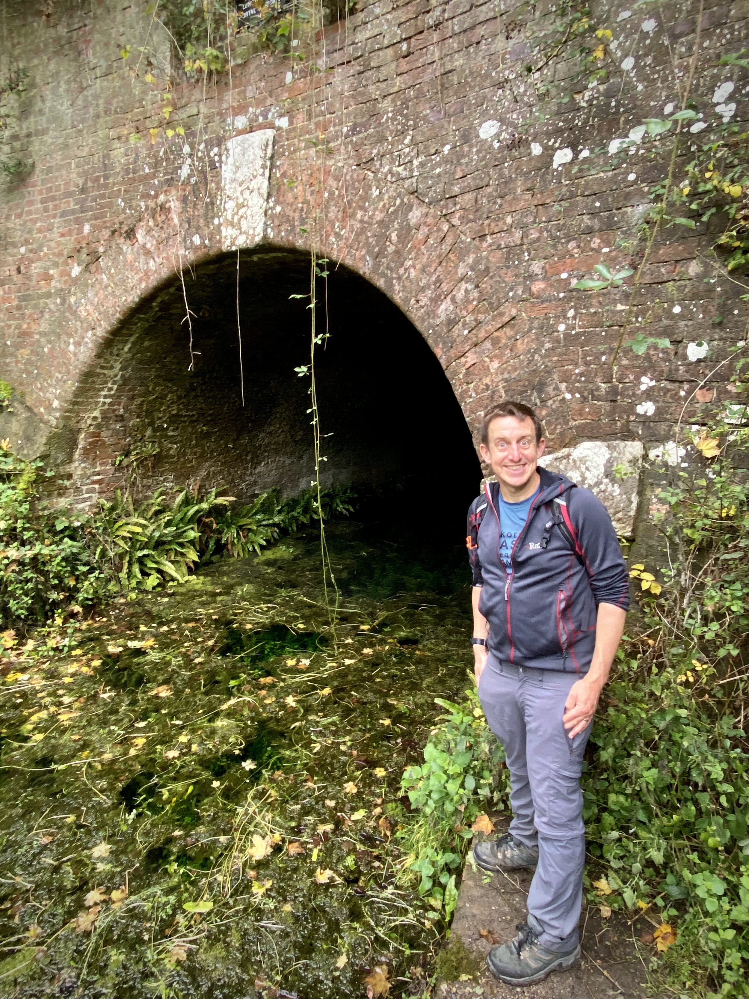
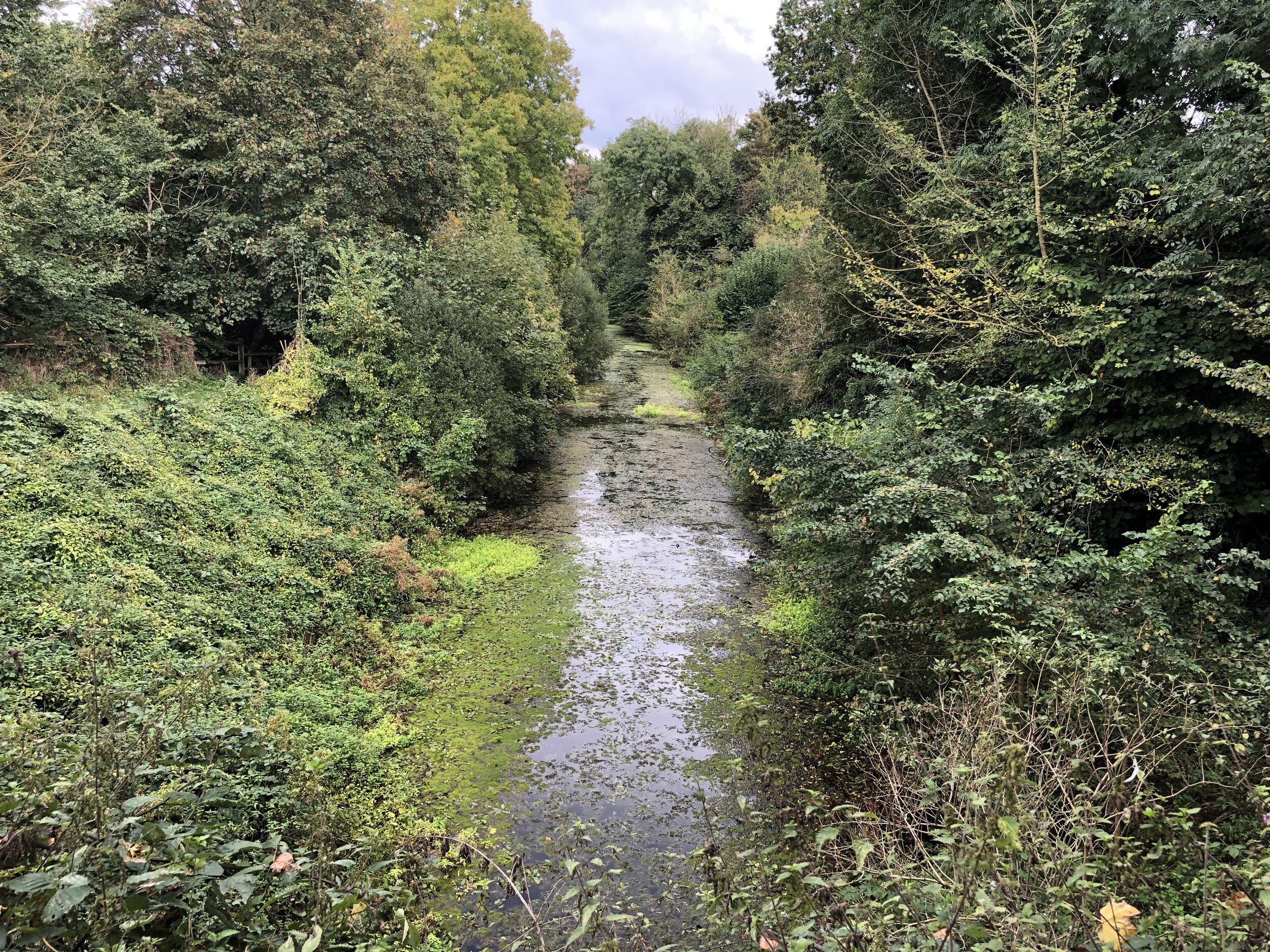
Links: Hartley Wintney, Basingstoke Canal, Odiham, Odiham Castle, Greywell, Greywell Tunnel