Posts tagged New Forest
Telegraph Hill and Piper’s Wait: New Forest National Park High Points

Telegraph Hill is generally understood to be the highest point in the New Forest National Park. However, other sources list the high point as Piper’s Wait which is 0.5m higher. I had only discovered Piper’s Wait after having bagged Telegraph Hill, so I had to return a couple of years later to complete them both.


Telegraph Hill

Significance: New Forest National Park high Point
Member of: N/A
Nearest Higher Neighbour = Farley Mount
Elevation: 127m
Date “climbed”: December 28th 2022
Coordinates: 50° 56' 57'' N, 1° 40' 37'' W
On route of: N/A
Map: New Forest Map | Southampton, Ringwood, Ferndown, Lymington, Christchurch & Bournemouth | Ordnance Survey | OS Explorer Map OL22
Links: Wikipedia (New Forest), Peakbagger

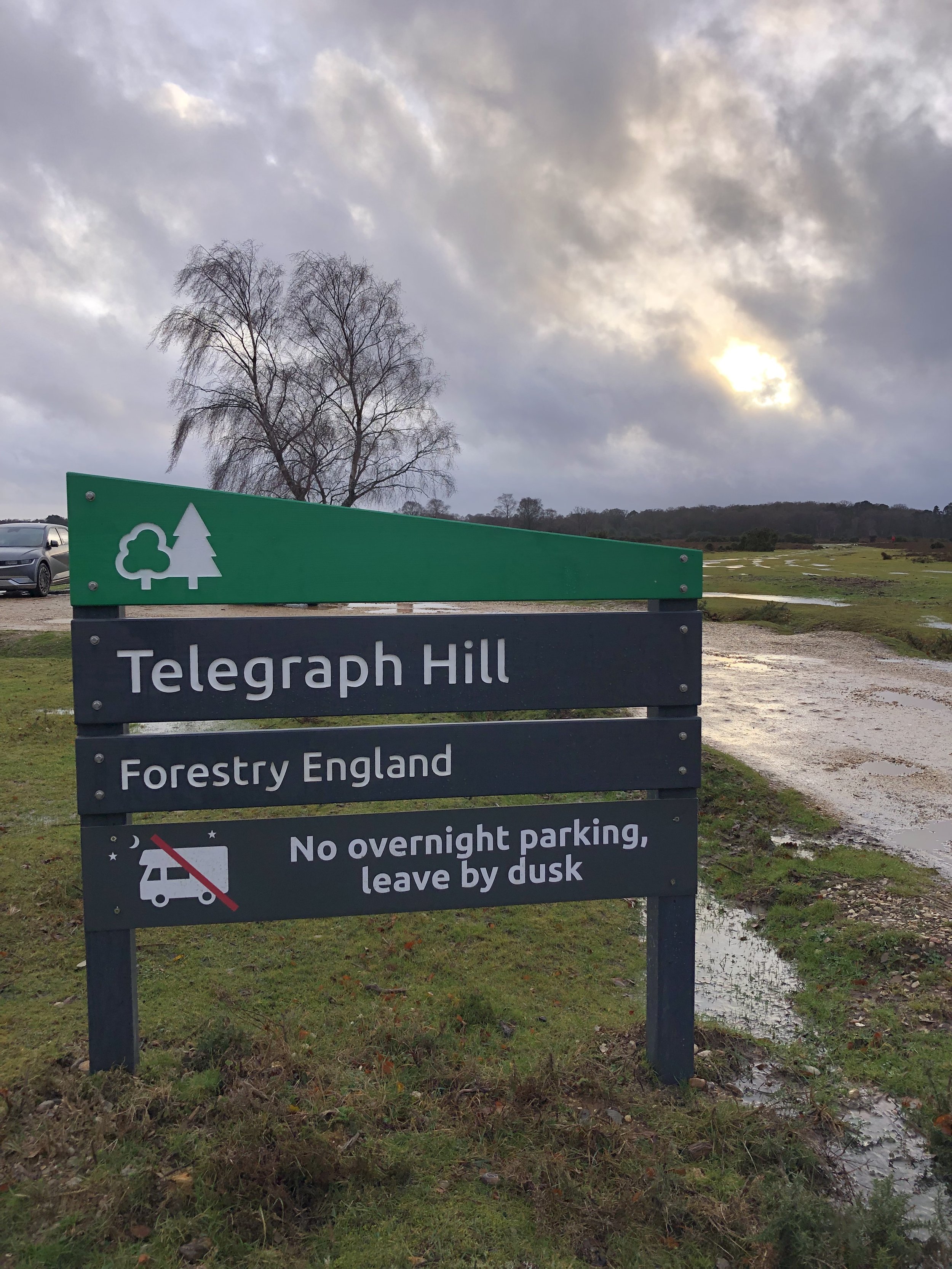
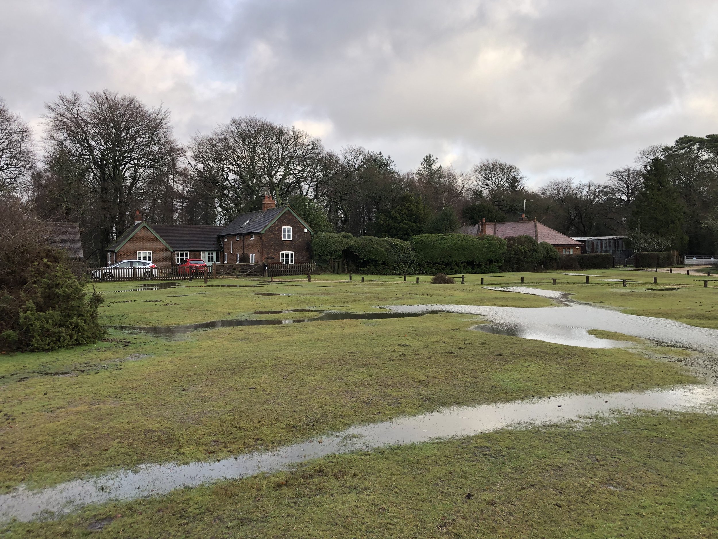
Bagging Telegraph Hill is pretty simple as the high ground is at and around the car park. The car park can be a good base for walk around the area. We were there on a rainy day just after Christmas so opted for a quick drive-by instead. Two nearby OS Trig Pillars, Pound Bottom and Bramshaw can be bagged in either a walk based from the Telegraph Hill car park or as quick drive-bys.

The name Telegraph Hill is due to a semaphore telegraph station built here in 1795. The station was one of the points where the admiralty communications were transmitted to London. This station was on the uncompleted London to Plymouth line.


Piper’s Wait

Significance: New Forest National Park high Point (alternative)
Member of: N/A
Nearest Higher Neighbour = Farley Mount
Elevation: 128m
Date “climbed”: July 26th 2025
Coordinates: 50° 56' 52'' N, 1° 38' 53'' W
On route of: N/A
Map: New Forest Map | Southampton, Ringwood, Ferndown, Lymington, Christchurch & Bournemouth | Ordnance Survey | OS Explorer Map OL22
Links: Wikipedia (New Forest), Peakbagger

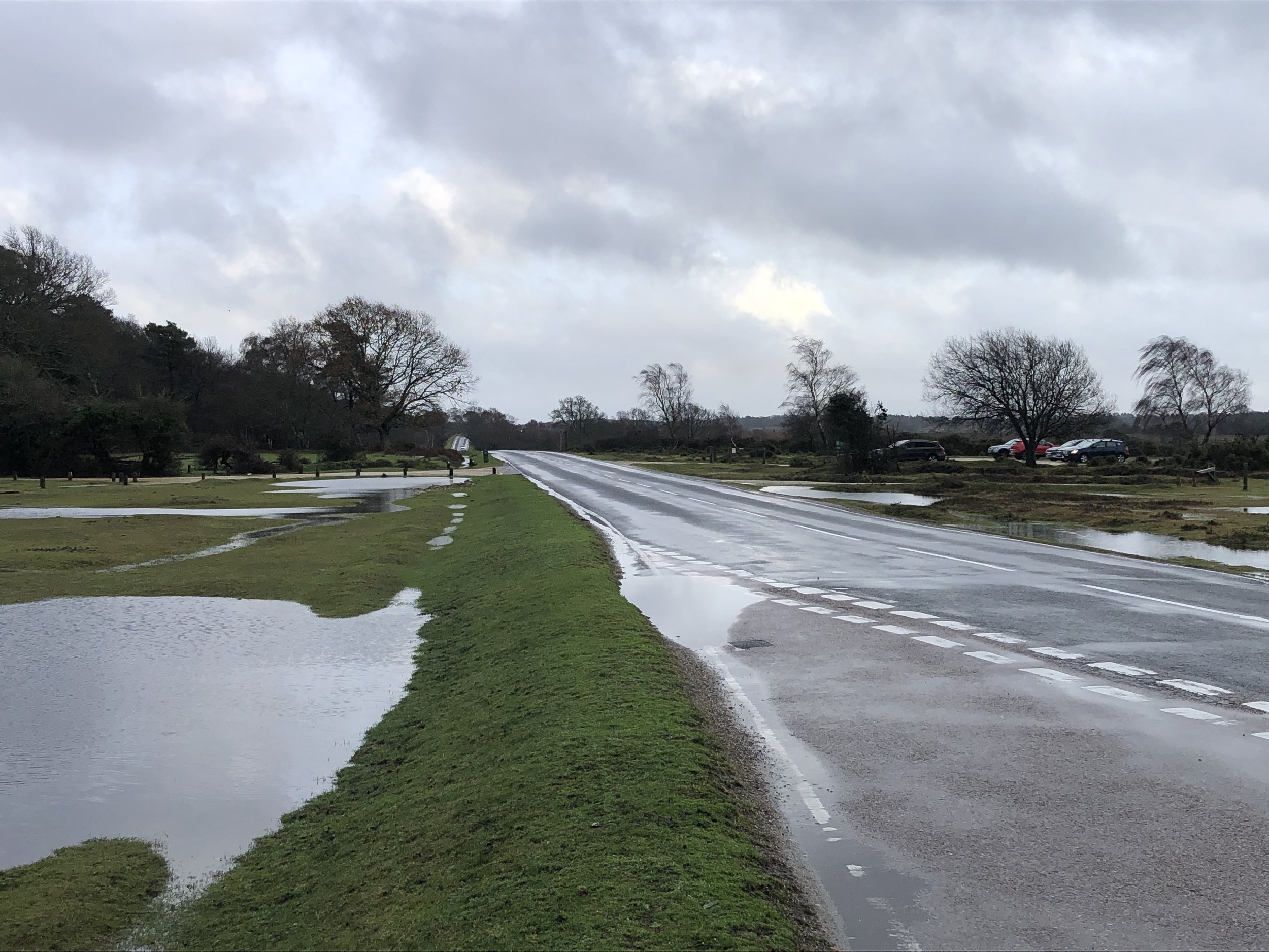
Piper’s Wait is an equally simple bag and worth doing in the same trip as it’s a very short drive from Telegraph Hill. There no need to wait 2.5 years between them like I did. Park at the Piper’s Wait Car Park, cross Forest Road and walk towards the reservoir. The natural high point is roughly half-way between the road and the reservoir. It’s very flat ground though, so use a GPS if you want to get to the exact point. It’s worth climbing up to the top of the reservoir for a better view.
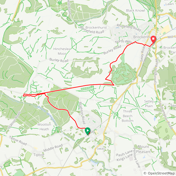
New Forest Walks: Brockenhurst, Sway and the Disused Railway

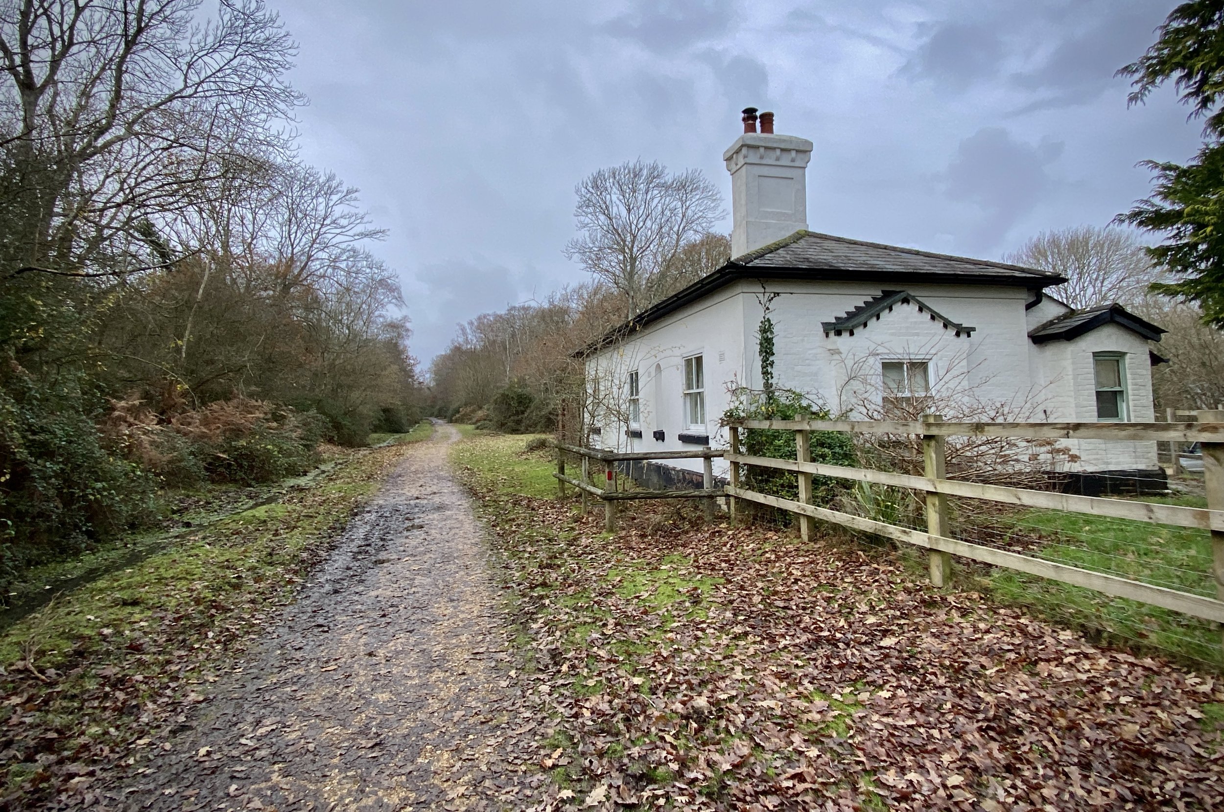
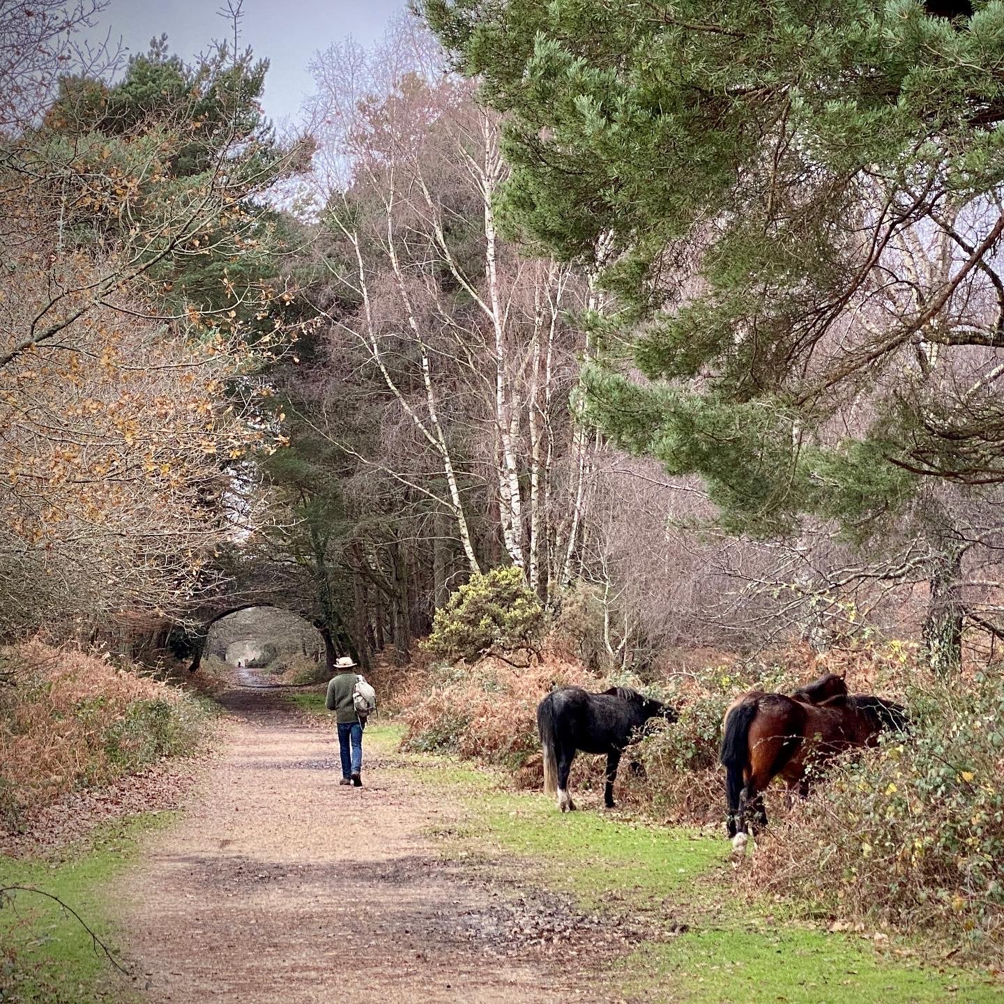
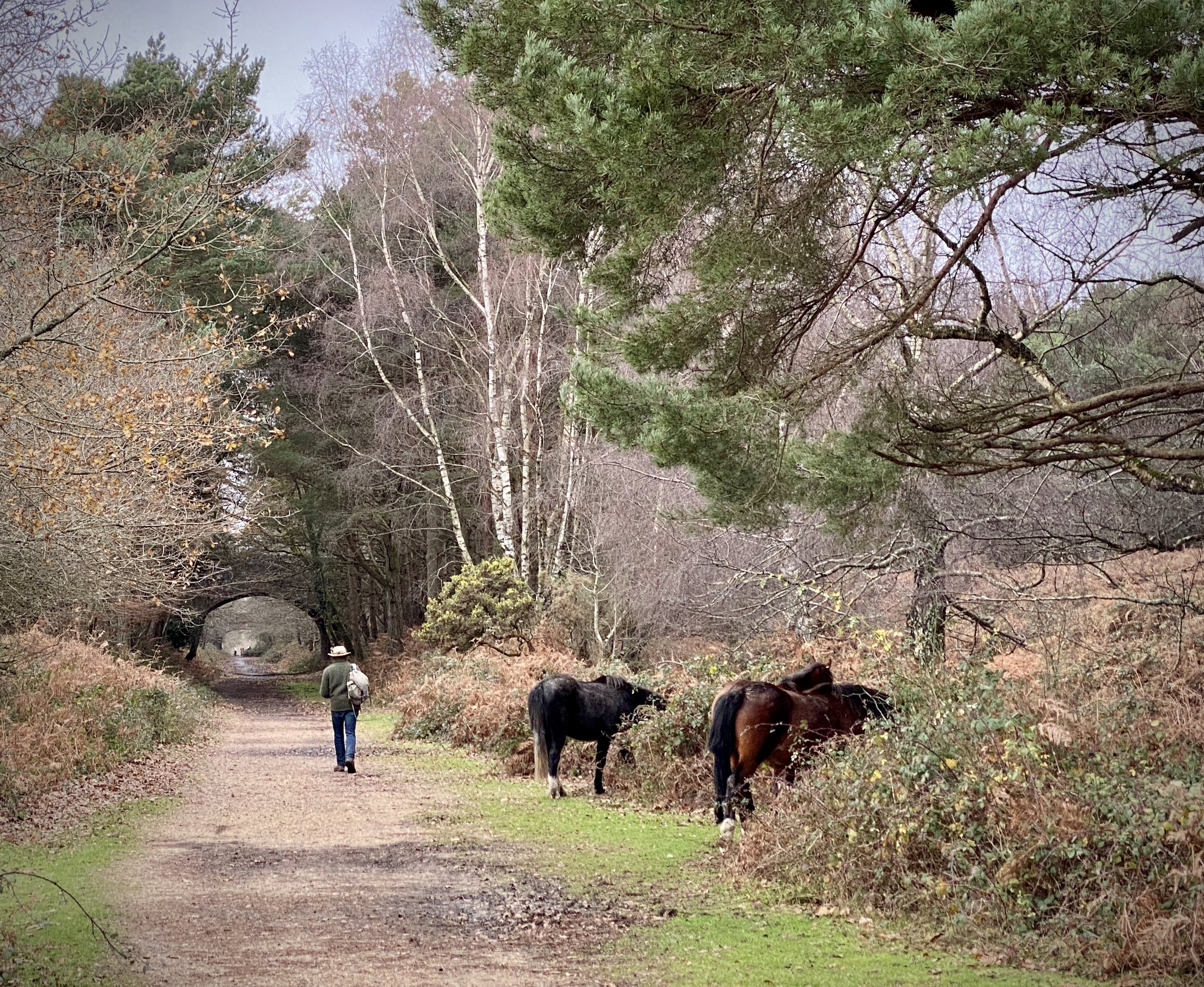
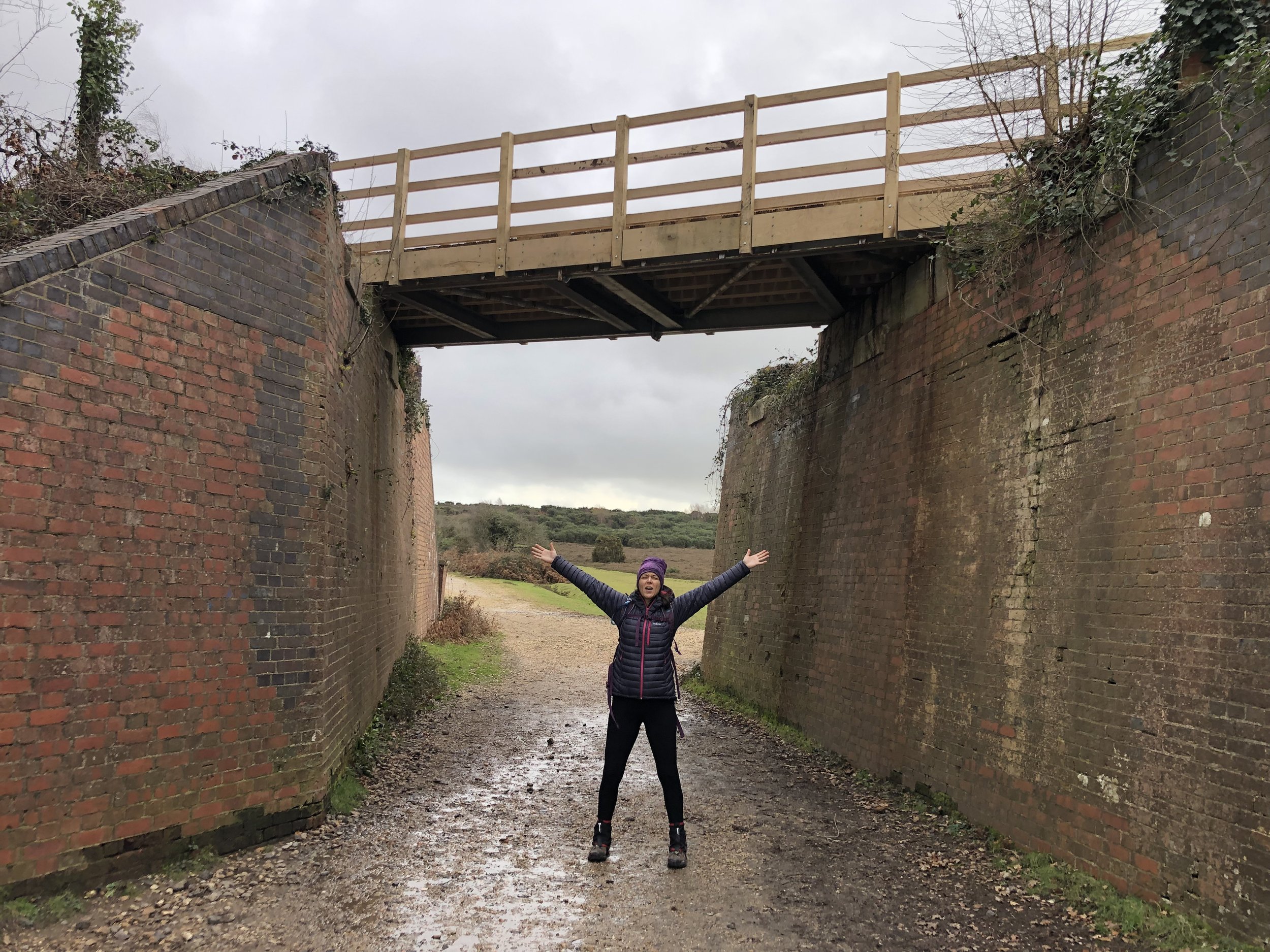
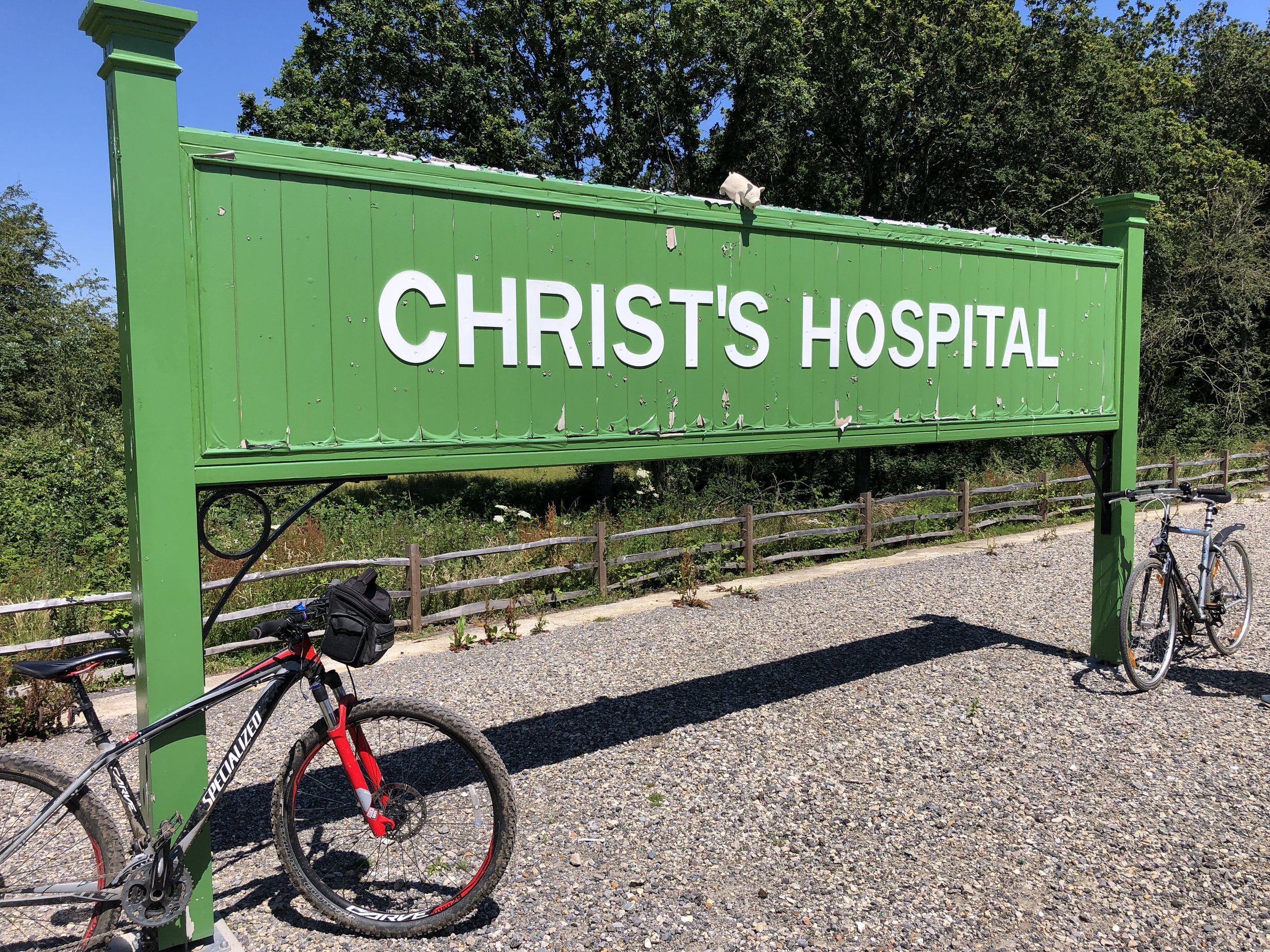
Bridge over the disused railway.

Start: Brockenhurst Railway Station: Brockenhurst, SO42 7TW
Finish: Sway Railway Station: Sway, Lymington SO41 6BA
Distance: 10.6 km (6.6 Miles)
Elevation change: +79m / -101m. Net -22m
GPX File: get via Buy Me a Coffee
Other Routes Touched (walk): Southampton and Dorchester Railway Path
Other Routes Touched (cycle): NCN 2
Pubs / Cafes on route: Several in Brockenhurst and Sway. None on the route
Map: New Forest Map | Southampton, Ringwood, Ferndown, Lymington, Christchurch & Bournemouth | Ordnance Survey | OS Explorer Map OL22
Links: Brockenhurst, Southampton and Dorchester Railway, Sway


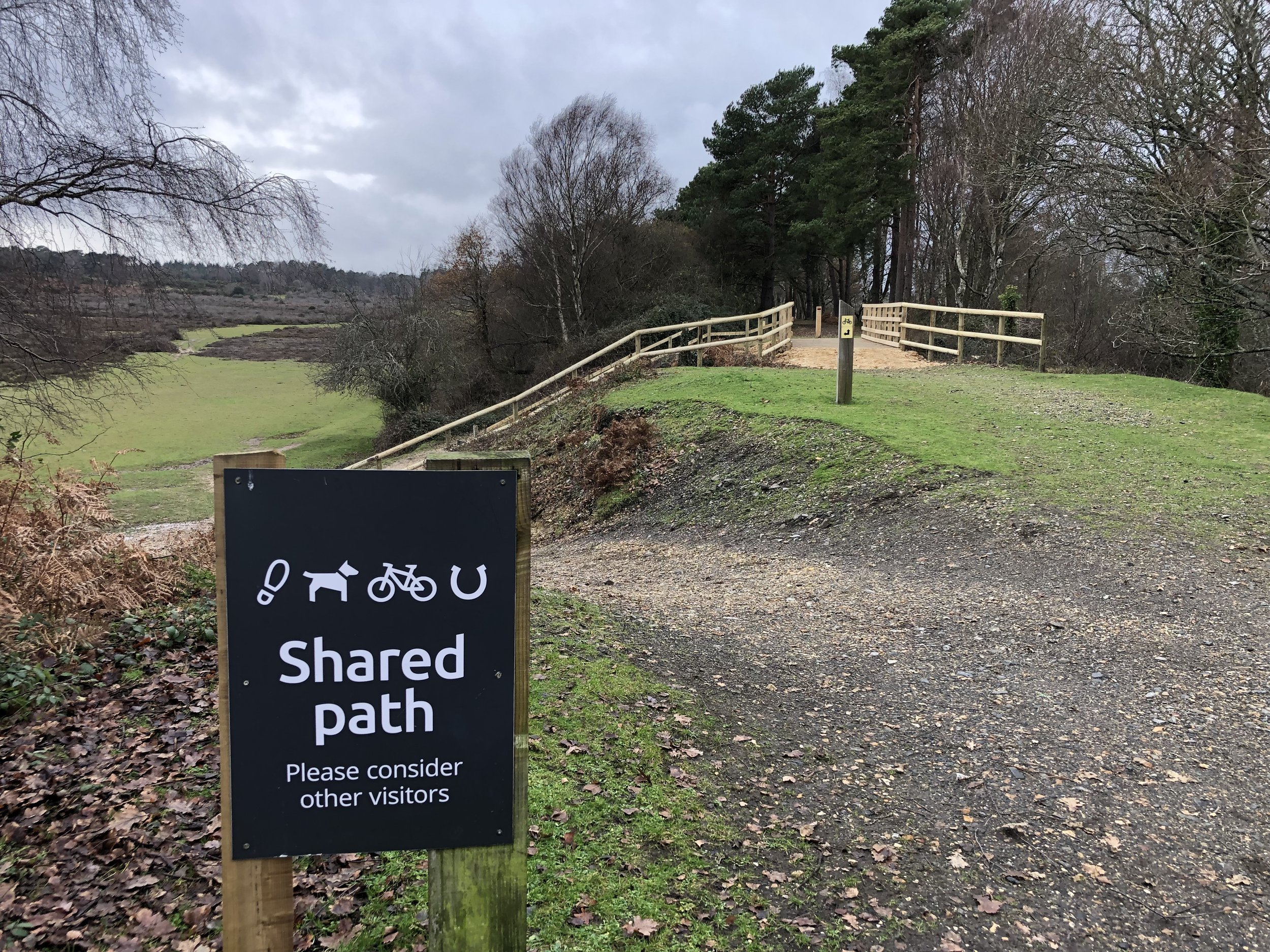
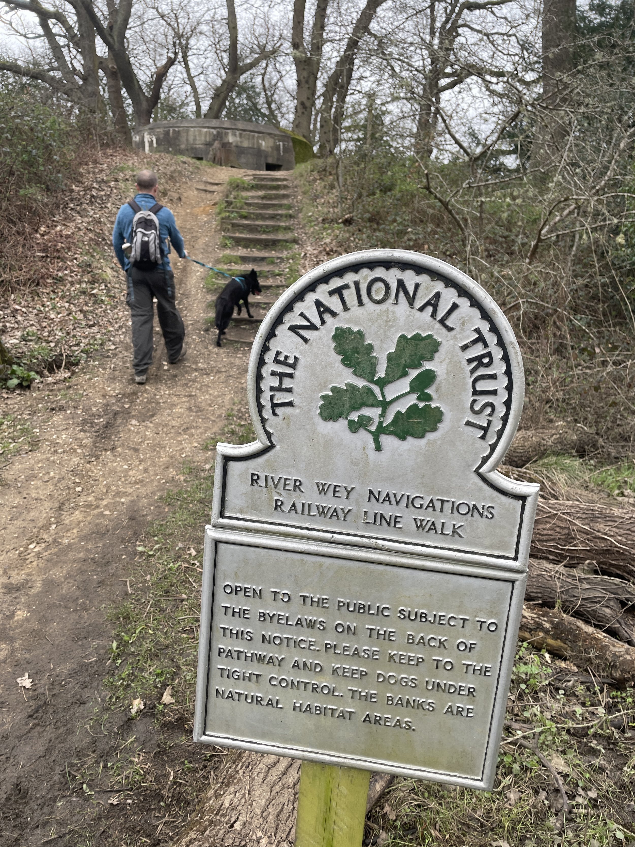
This is a flat(ish) point to point walk between Brockenhurst and Sway railway stations, taking in a stretch of the disused Southampton and Dorchester railway path. The guidance below will help you navigate but don’t use it as a fully accurate turn-by-turn guide. Always take a map and/or a GPX route and prepare well for the weather and terrain.

From Brockenhurst Station cross over the car park onto Avenue Road and follow it in a north-westerly direction to Sway Road. Take a left onto Sway Road then a right into a small car park to the left of the school. Continue through the car park onto a path that crosses Culverley Green to Burley Road. Take at left at Burley Road and follow it for 300 metres before taking a path on the left. Continue along this path with the stream on your left and farm buildings on your right. Continue following this path in a roughly south-westerly through Hinchslea Bog. We were there in winter after a lot of rain and the Bog was very ….boggy. Make sure you wear waterproof boots and are prepared to jump over a few streams and puddles.

At 3km from the start of the walk you’ll arrive at a crossing in the path. Take the left hand path which will take you to the start of the Southampton and Dorchester Railway path at the south-western corner of the golf course. Take a left and follow the railway path for ~3.5 km until the path ends and the old rail route becomes a road. From here you can either retrace your route along the railway path or take another path just to the south back to the edge of the woods near Oaken Caravan site. From here leave the railway path and follow a footpath in a south-easterly direction through the woods to Adlams Lane.

Follow Adlams Lane to the junction with Mead End Road, then take a left onto Mead End Road and follow it onto Station Road to reach Sway Station. From here you can catch a train back to Brockenhurst (1 stop).

Scroll down for information on the Old Station Tea Room on the site of the old Holmsley Station, further along the disused rail line.


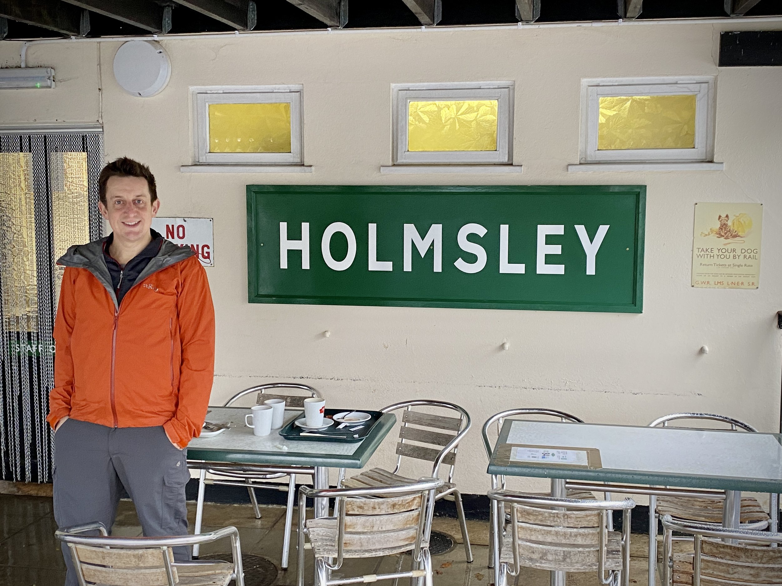
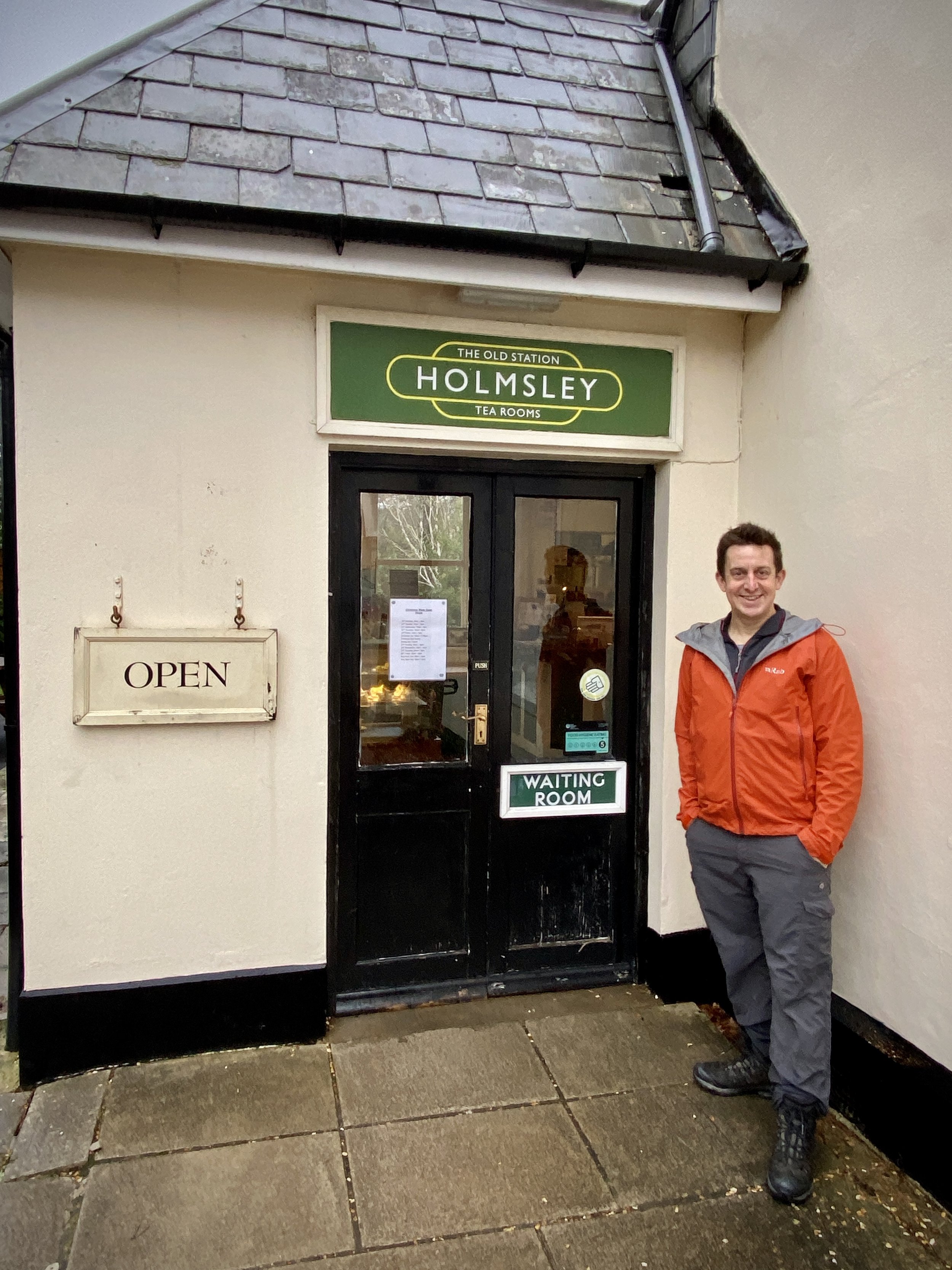
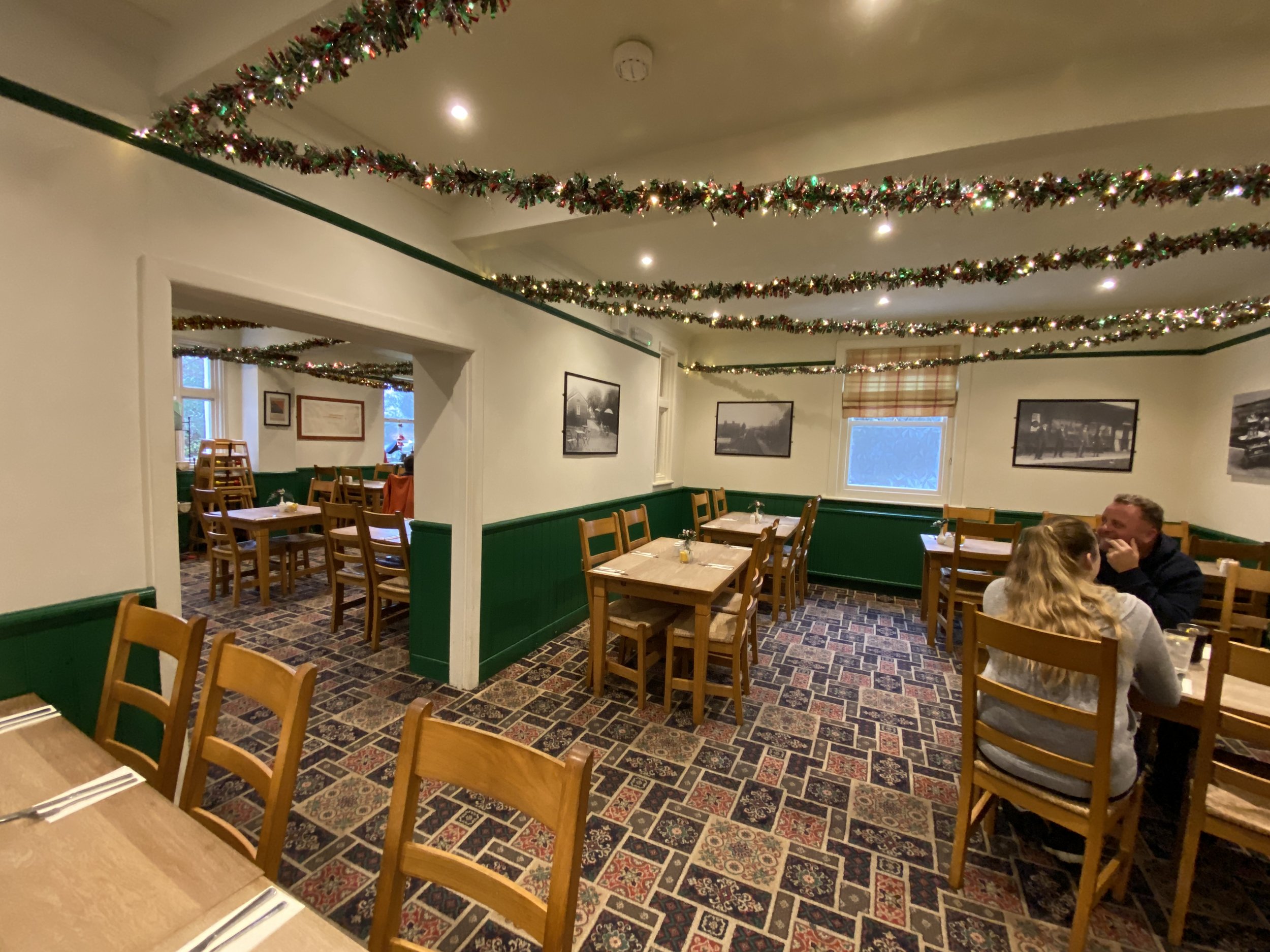
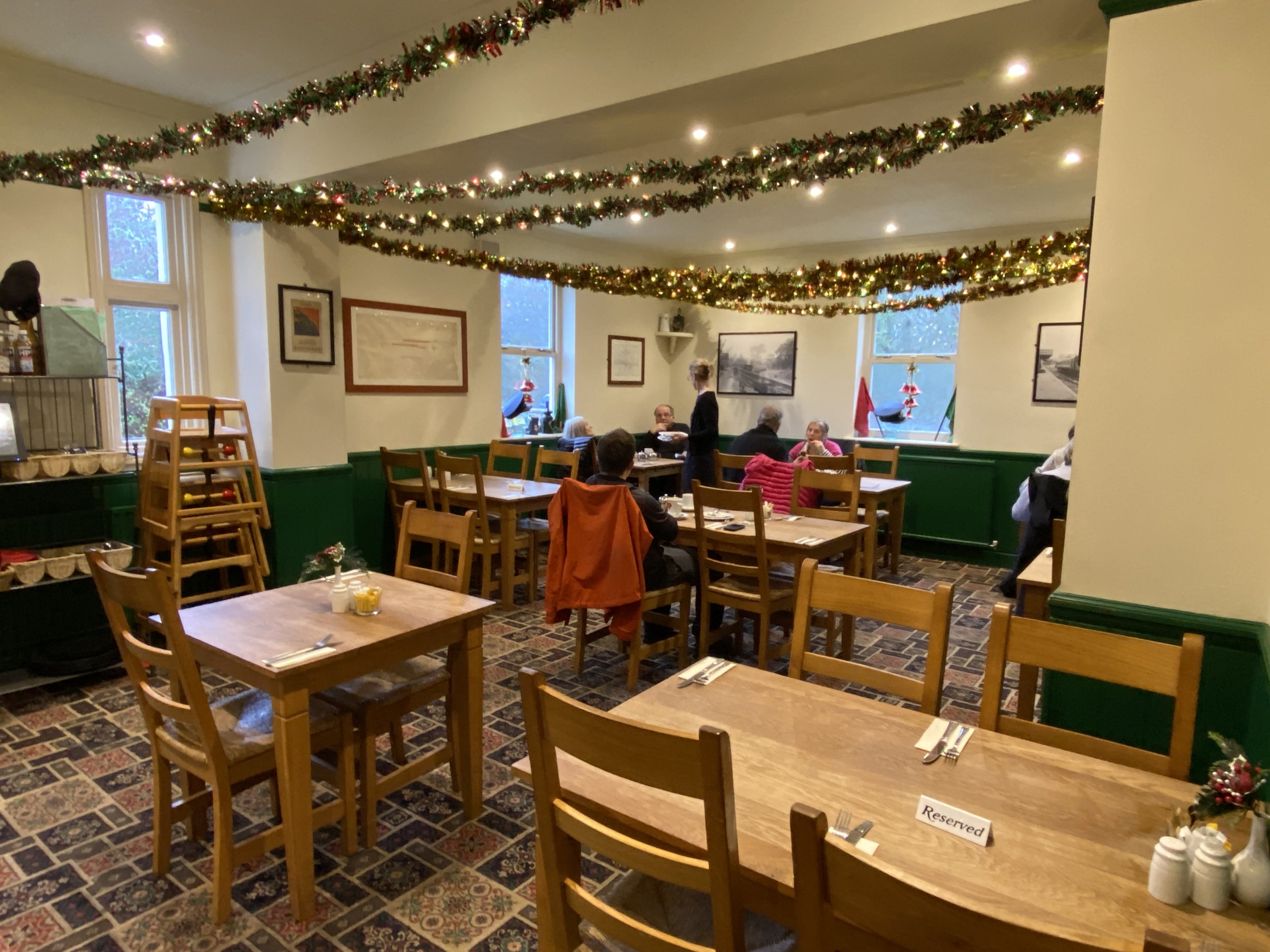
Holmsley Railway Station - The Old Station Tea Room

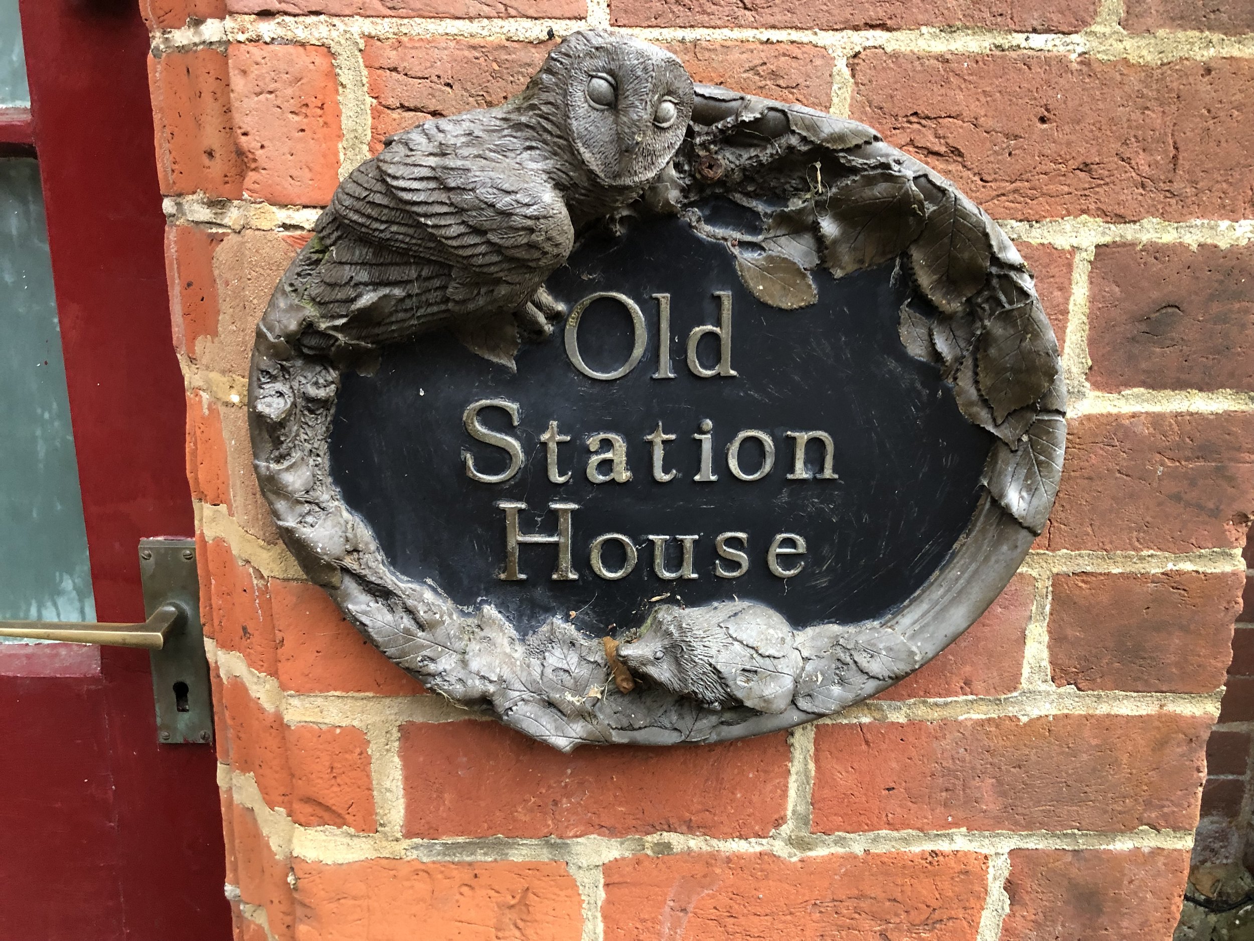
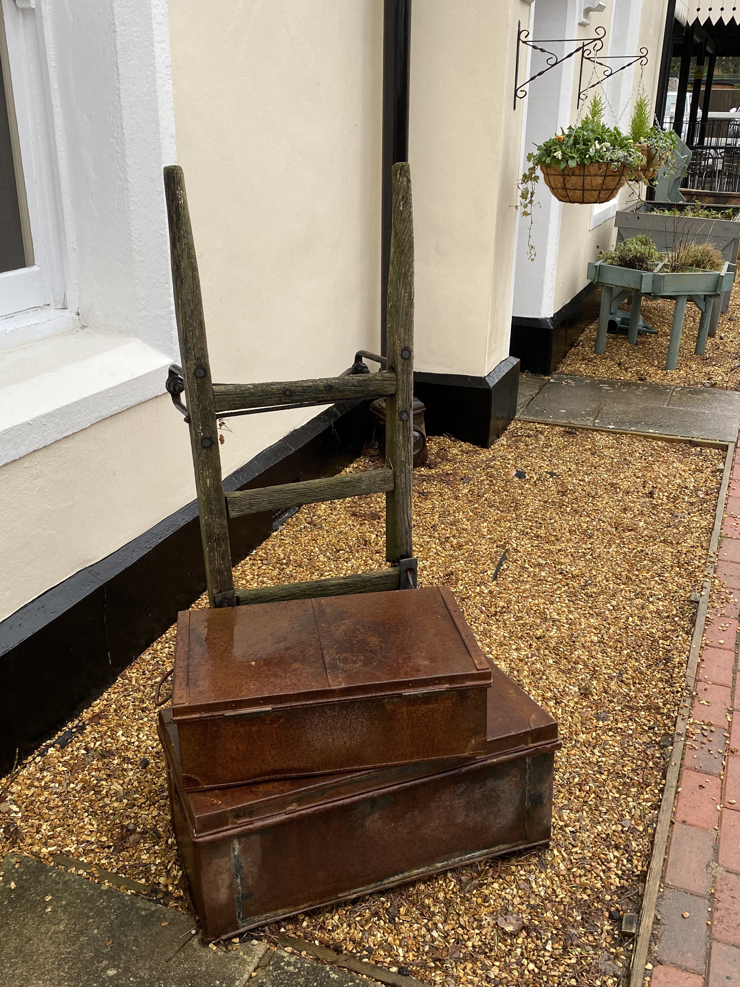
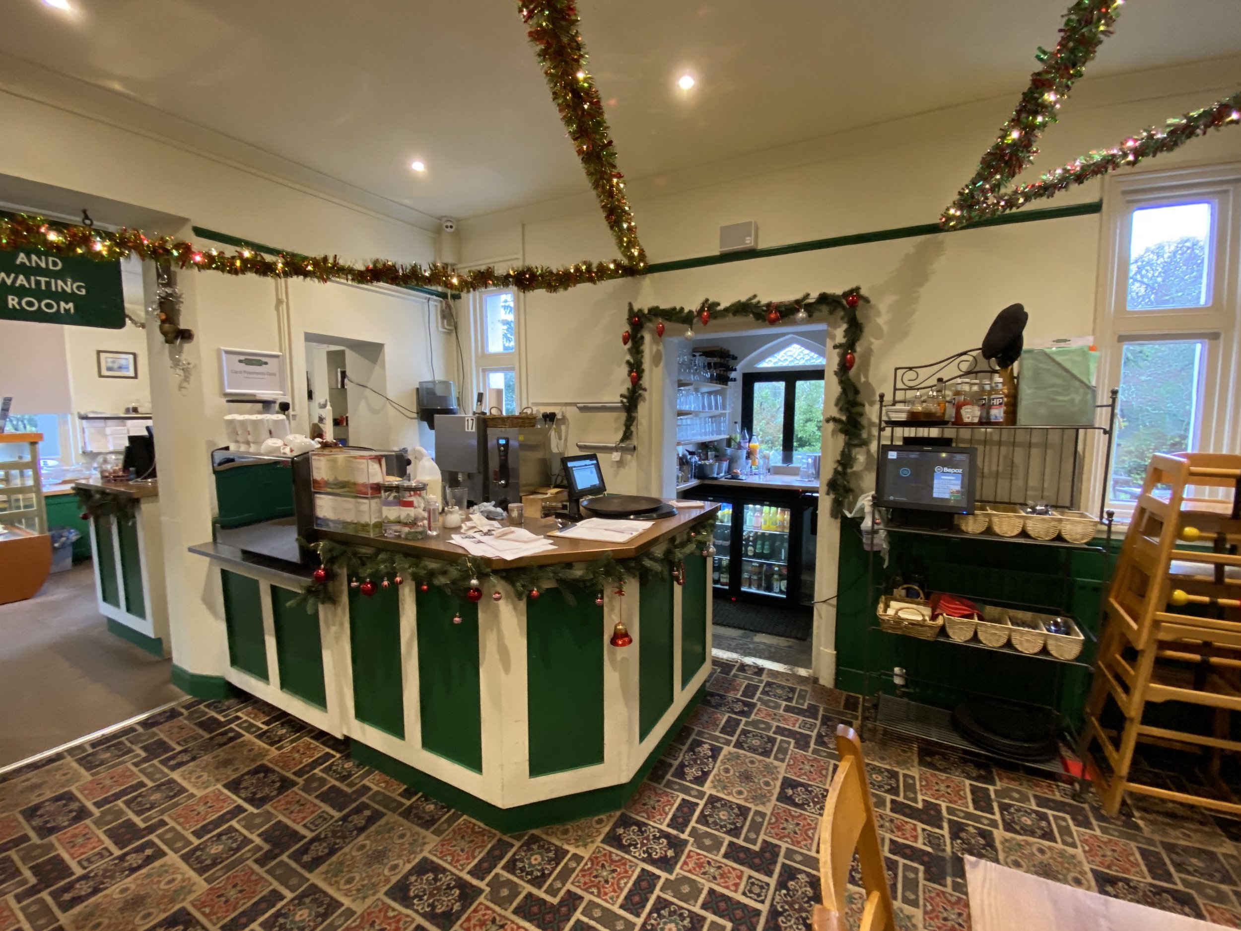
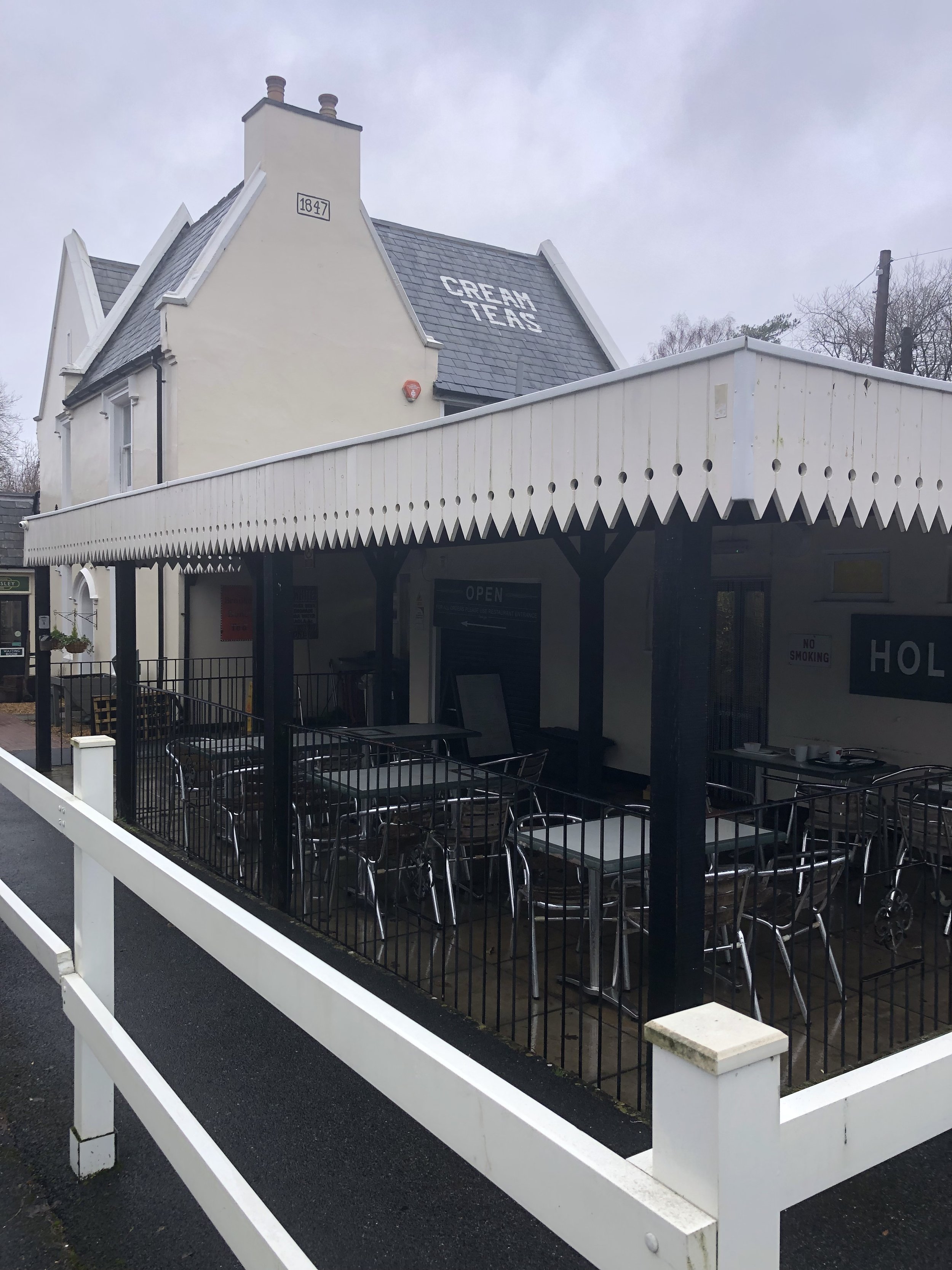
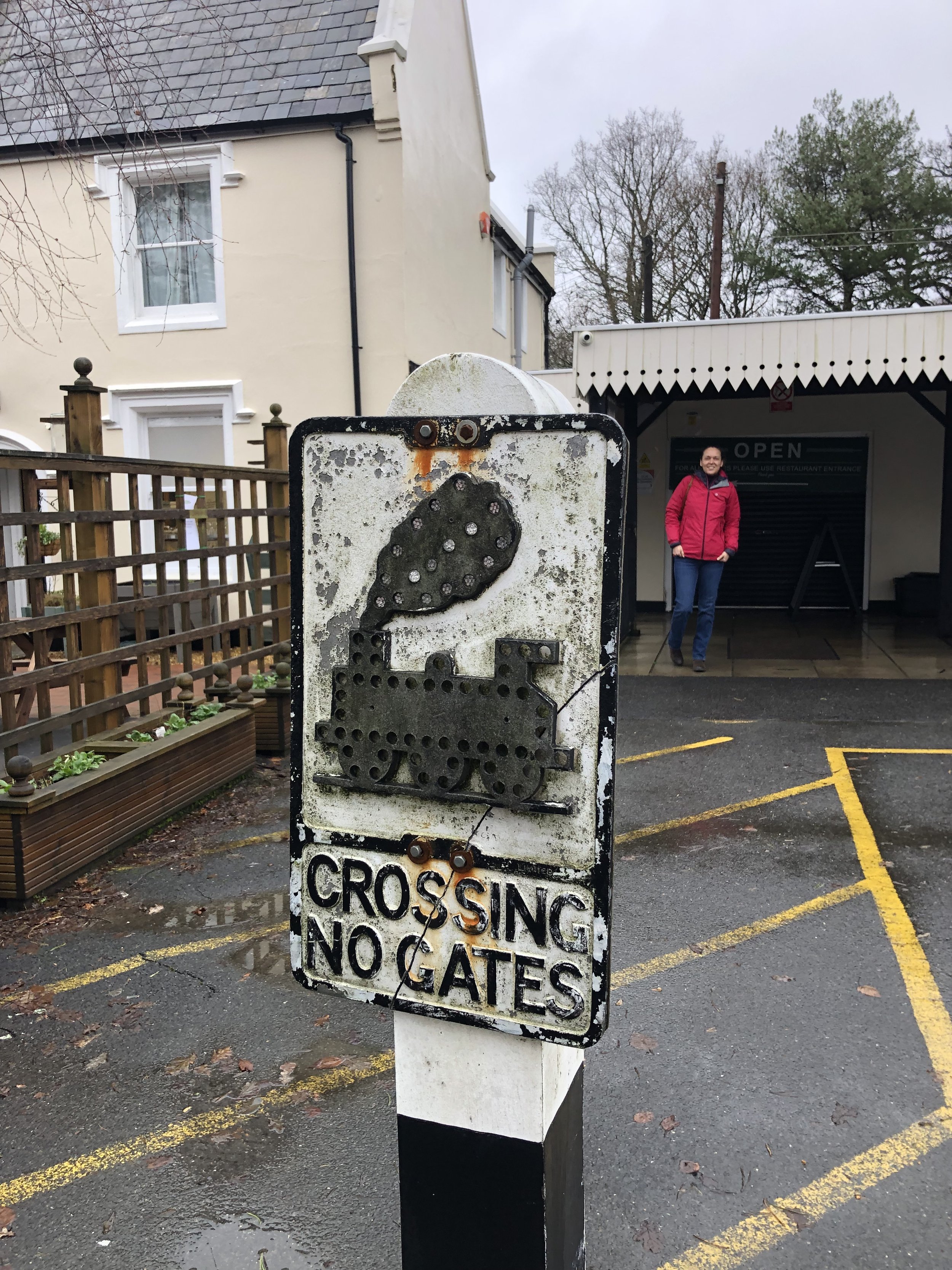
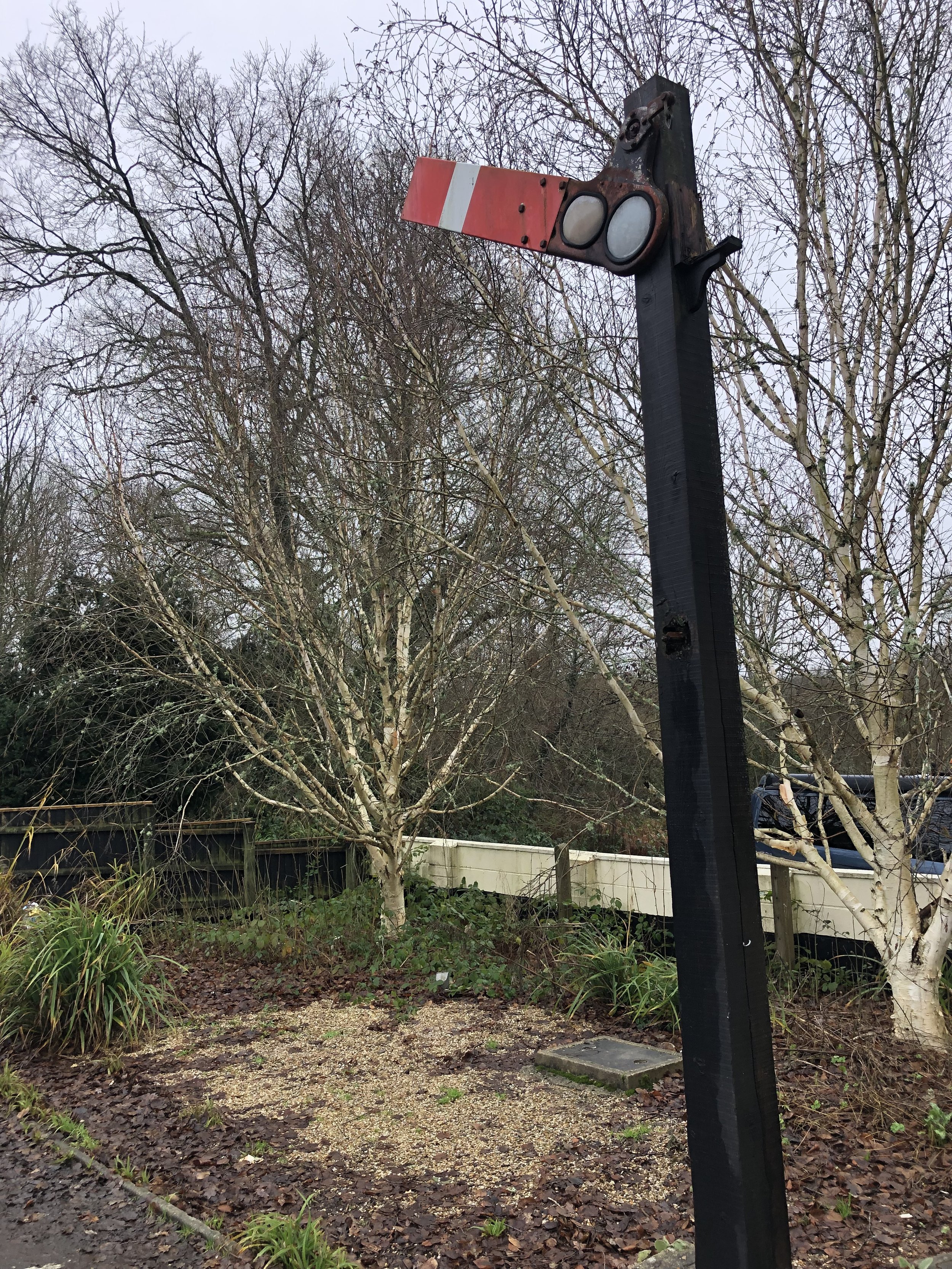
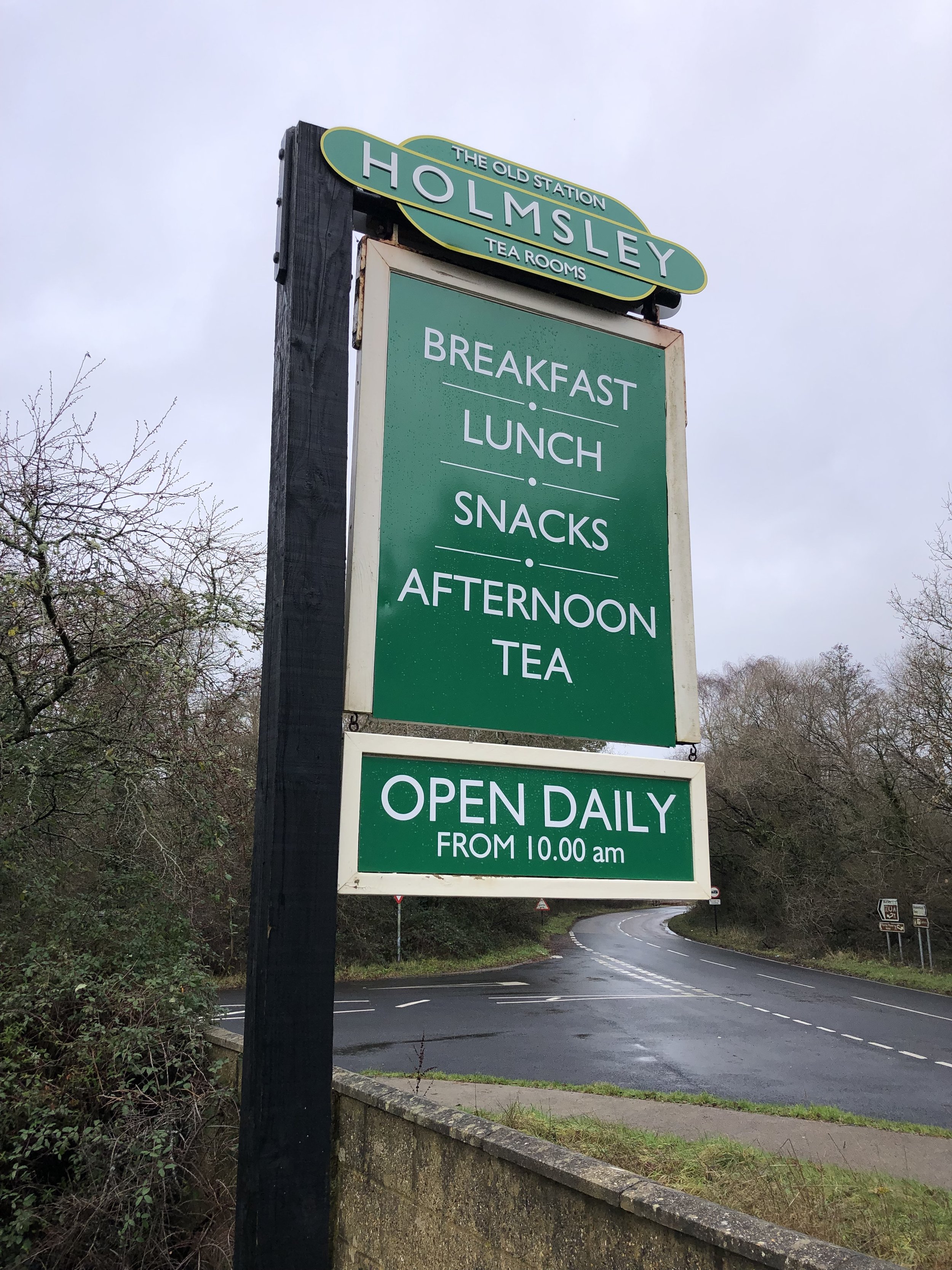
The route described above covers the section of the old Southampton to Dorchester line that has been converted to a shared path for walking, cycling and riding. Further up the line to the west, on the section that’s now a road, you can find the old Holmsley Station, now converted into a Team Room. It’s a great place to stop whether you’re a train enthusiast or not. It’s been lovingly restored and is now a busy cafe.

Links:


More Disused Railway Posts