Walking The Guildford and Shalford Disused Railways
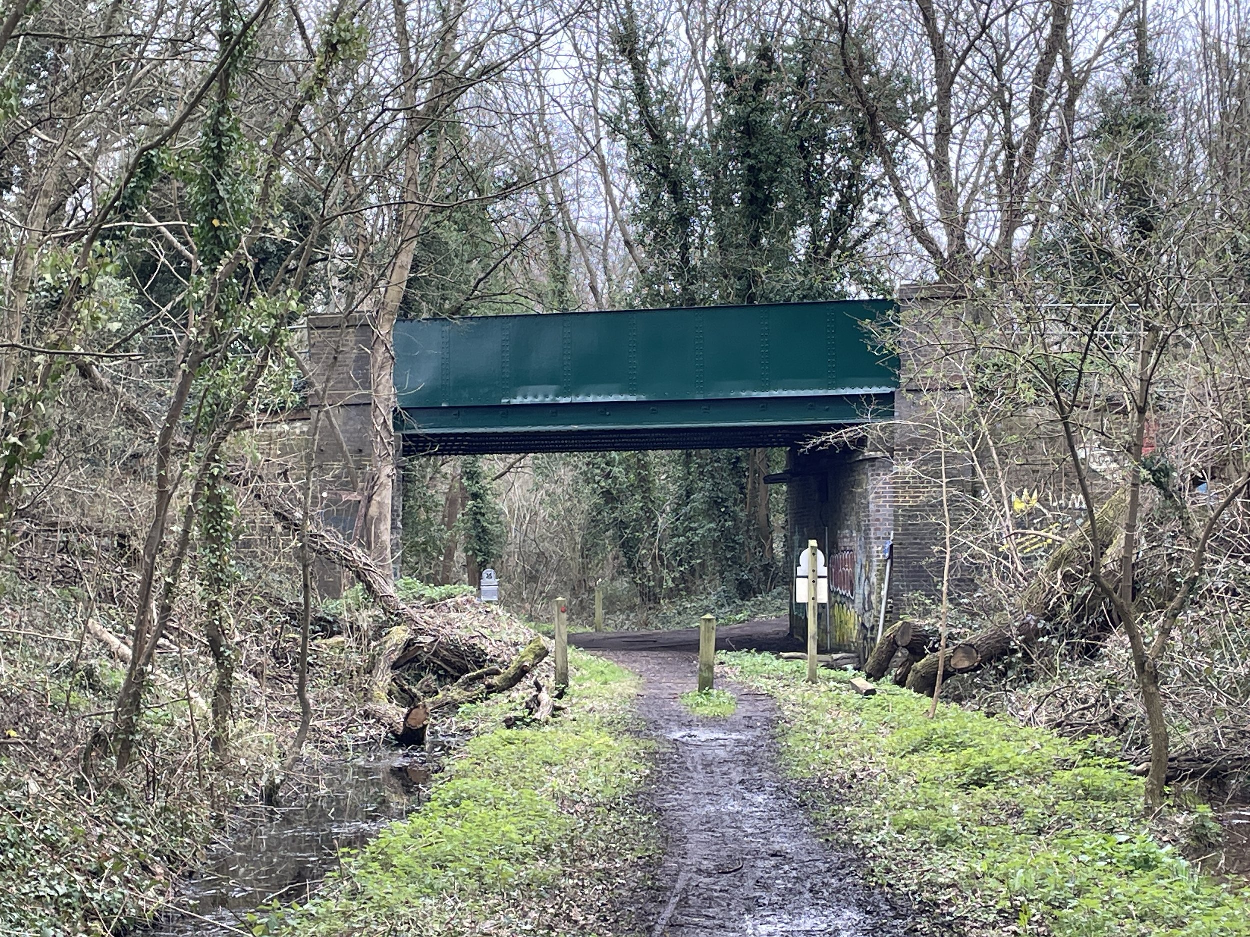
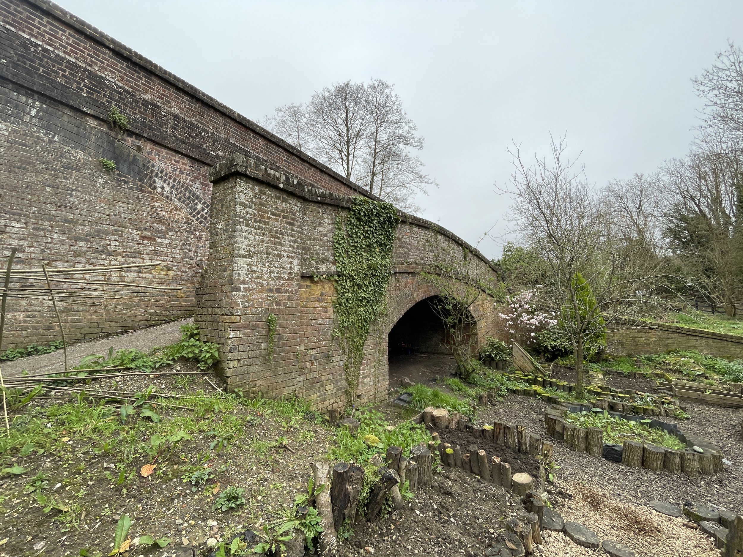
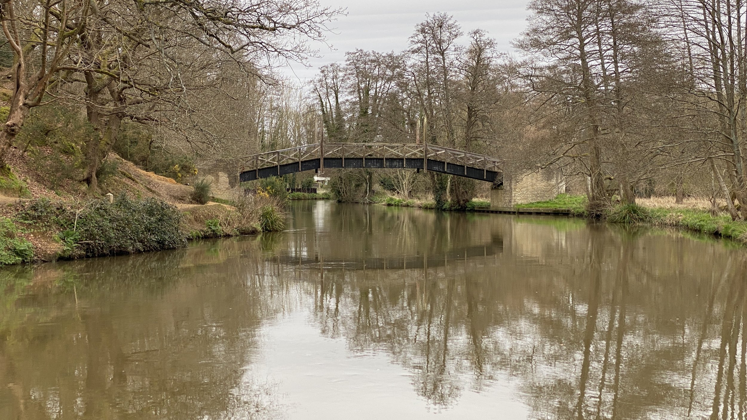
Broadford Road bridge over the disused railway path
Start: Shalford Station, Guildford, GU4 8JD
Finish: Guildford Station, Guildford, GU1 4UT
Distance: 9.1 km (5.6 miles)
Elevation change: + 51m / -53m. Net -2m
GPX File: get via Buy Me a Coffee
Other routes touched (walk): Wey-South Path, National Trust Railway Walk, Scholar’s Trail, North Downs Way
Other routes touched (cycle): NCN 22, Downs Link
Pubs / Cafes on route: The Snooty Fox cafe near Shalford Station, The Weyside (7.9 km in), many others in Guildford
Map: OS Explorer Map (145) Guildford and Farnham
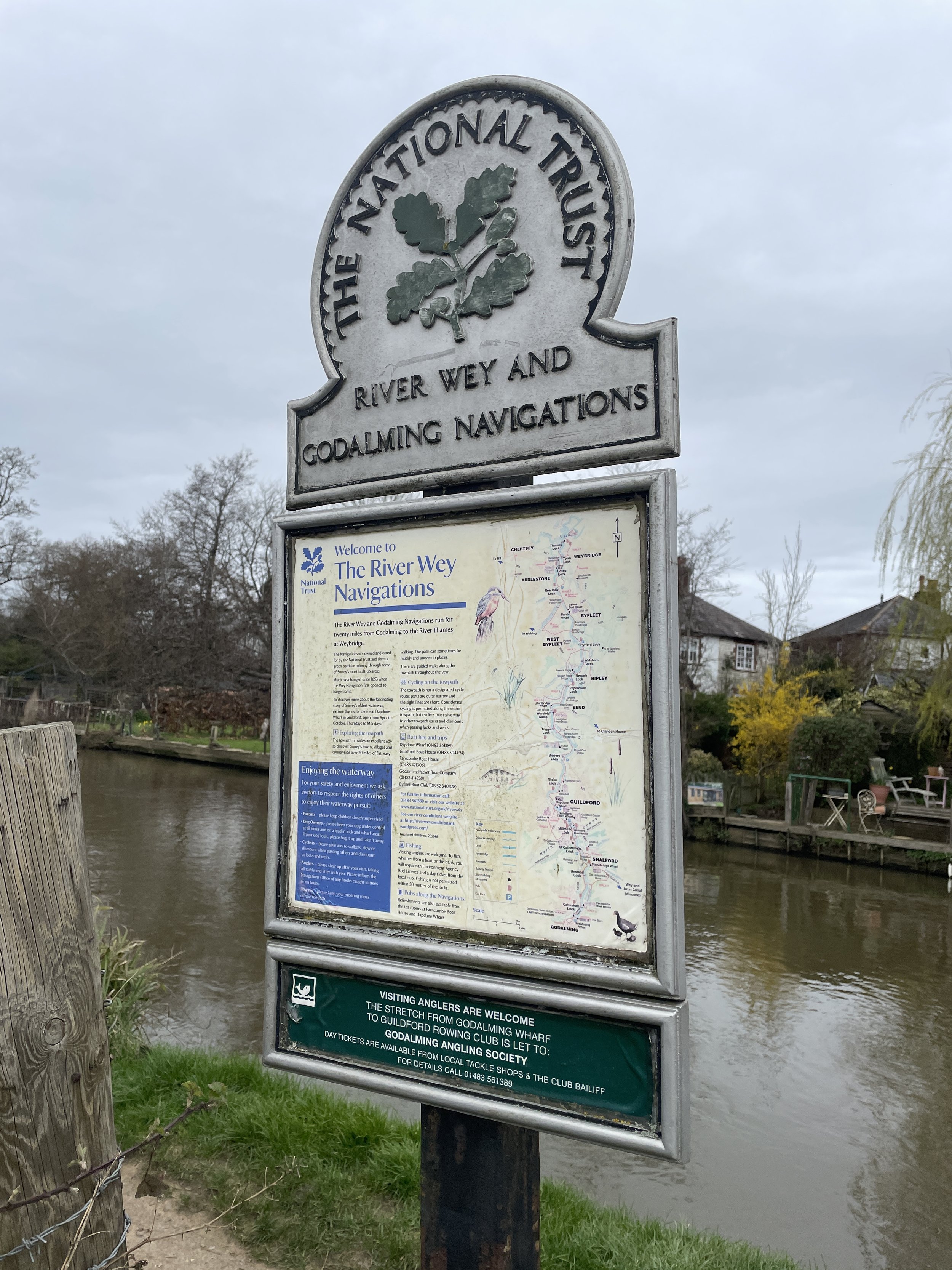
Links: Shalford, Guildford, Wey and Arun Canal, National Trust River Wey and Godalming Navigations and Dapdune Wharf, The Cranleigh Line
This is part of a series of short walks in and around the Surrey Hills. The guidance below will help you navigate but don’t use it as a fully accurate turn-by-turn guide. Always take a map and/or a GPX route and prepare well for the weather and terrain.
I’d had this walk in mind for a few years after I completed the Downs Link with my friend Mark in 2021. The Downs Link connects the North Downs Way and South Downs Way, mostly following disused railways. It starts at St Martha’s Hill following footpaths and joins the old rail line near Chinthurst Hill. However, there’s a section of this old line from Guildford that the Downs Link doesn’t follow so we needed to return to complete the rest.
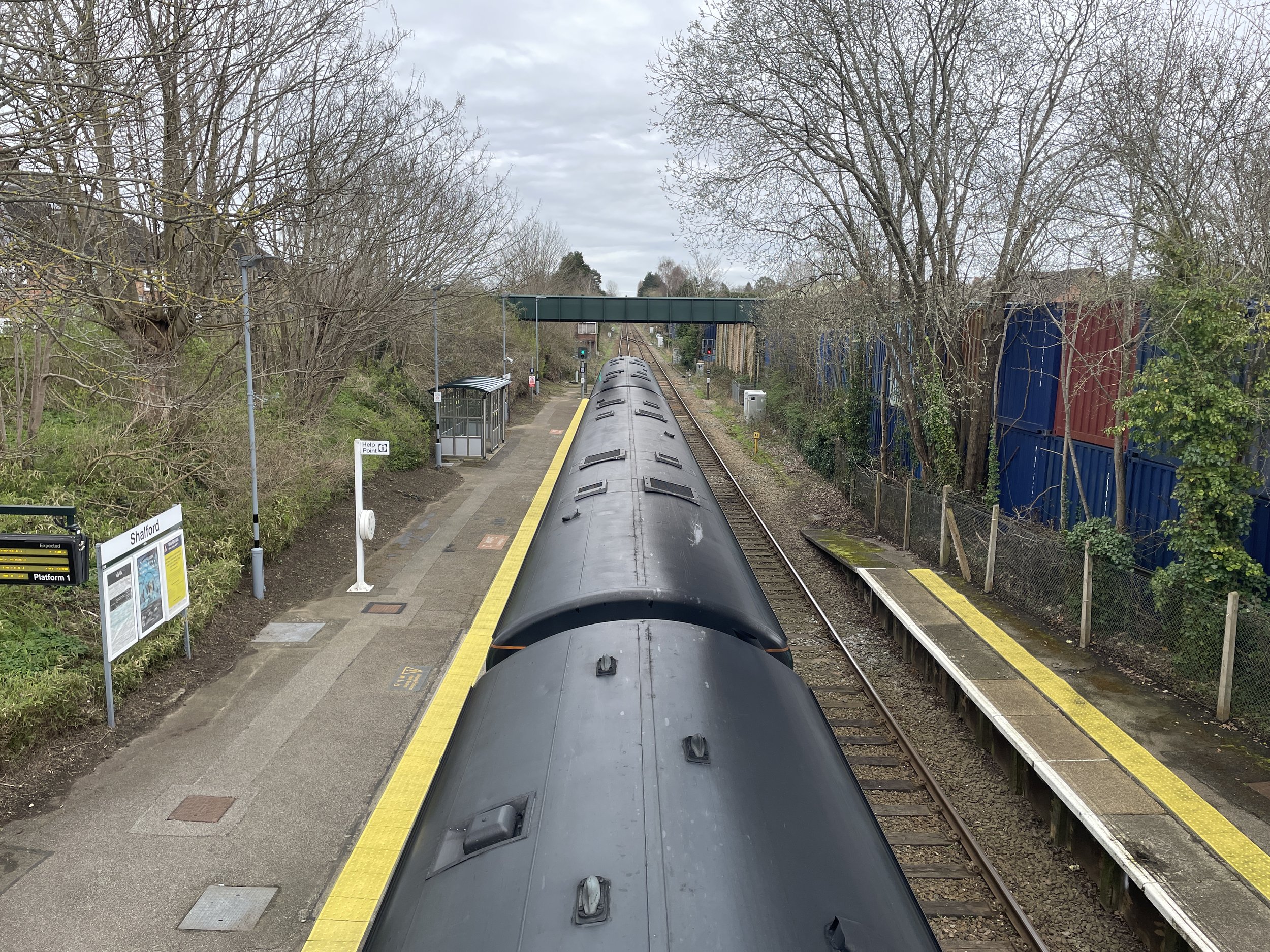
This is a point-to-point walk with Guildford and Shalford Stations at either end. We originally planned to start at Guildford and return back on the train from Shalford. Although the train ride between them is only 8 minutes, the trains are fairly infrequent at weekends. As there was a Guildford-Shalford train leaving shortly after we parked at Guildford we took that one and did the route in reverse.
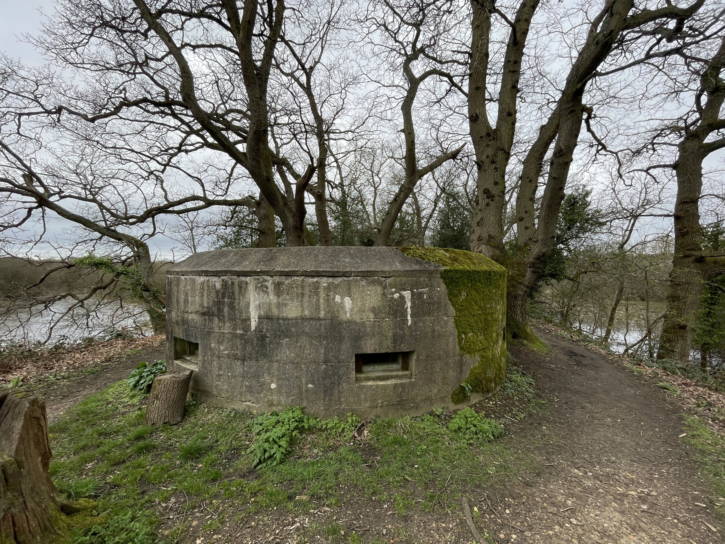
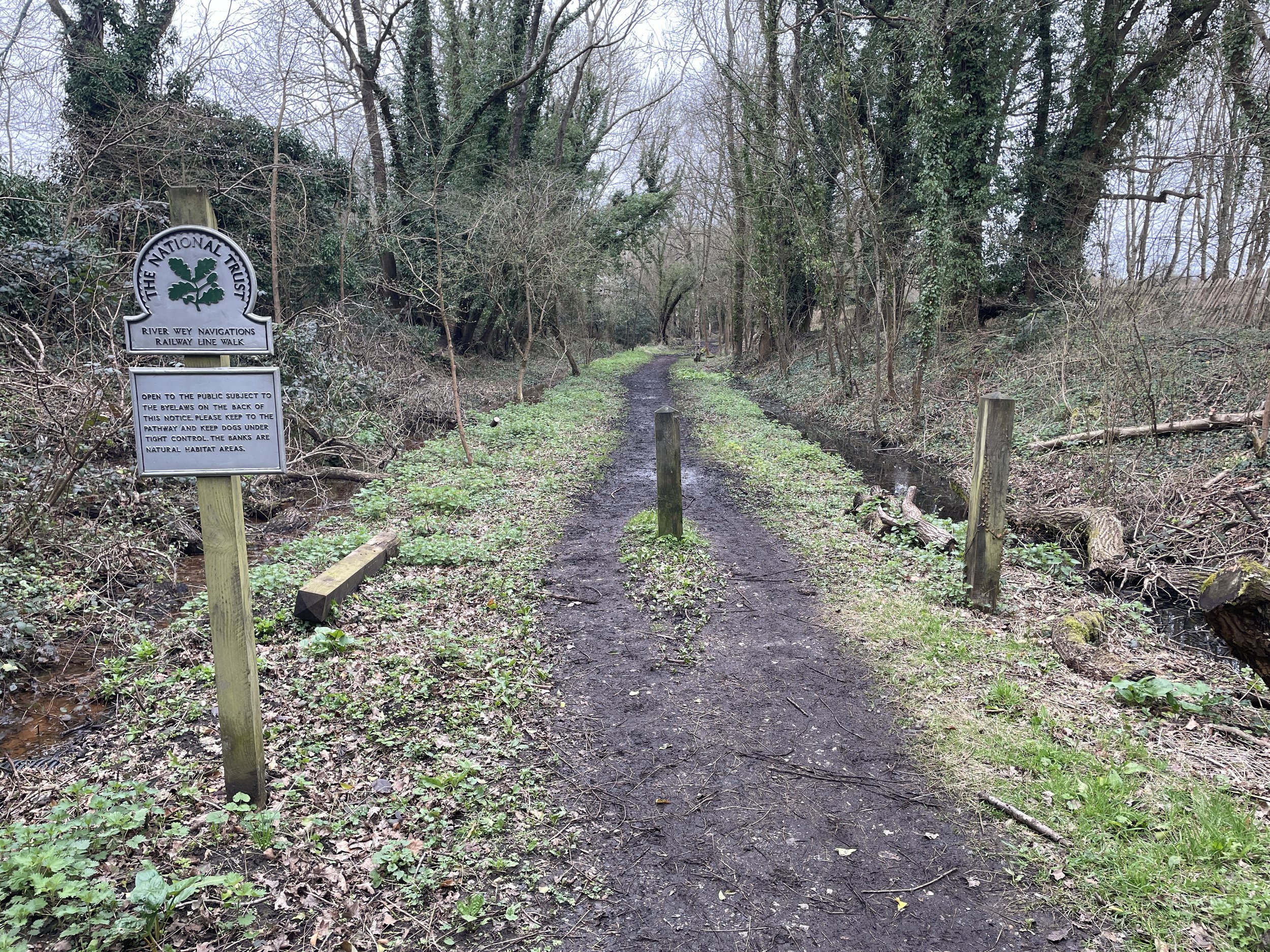
From Shalford Station cross over the A281 Horsham Road and follow the path across the common in a south-westerly direction to Broadford Road. Take a right and cross the bridge over the River Wey. Follow the path on the western side of the Wey north for approximately 1 km until you see the path on the left to the National Trust River Wey Navigations Railway Line Walk. Climb the old embankment to the WW2 Pillbox at the top and follow the route of the old rail line. This is the old section of line where trains from Shalford would have crossed over the River Wey to turn south onto the line to Petersfield. After ~400m the path reaches the fence where you can see the current Guildford to Petersfield line.
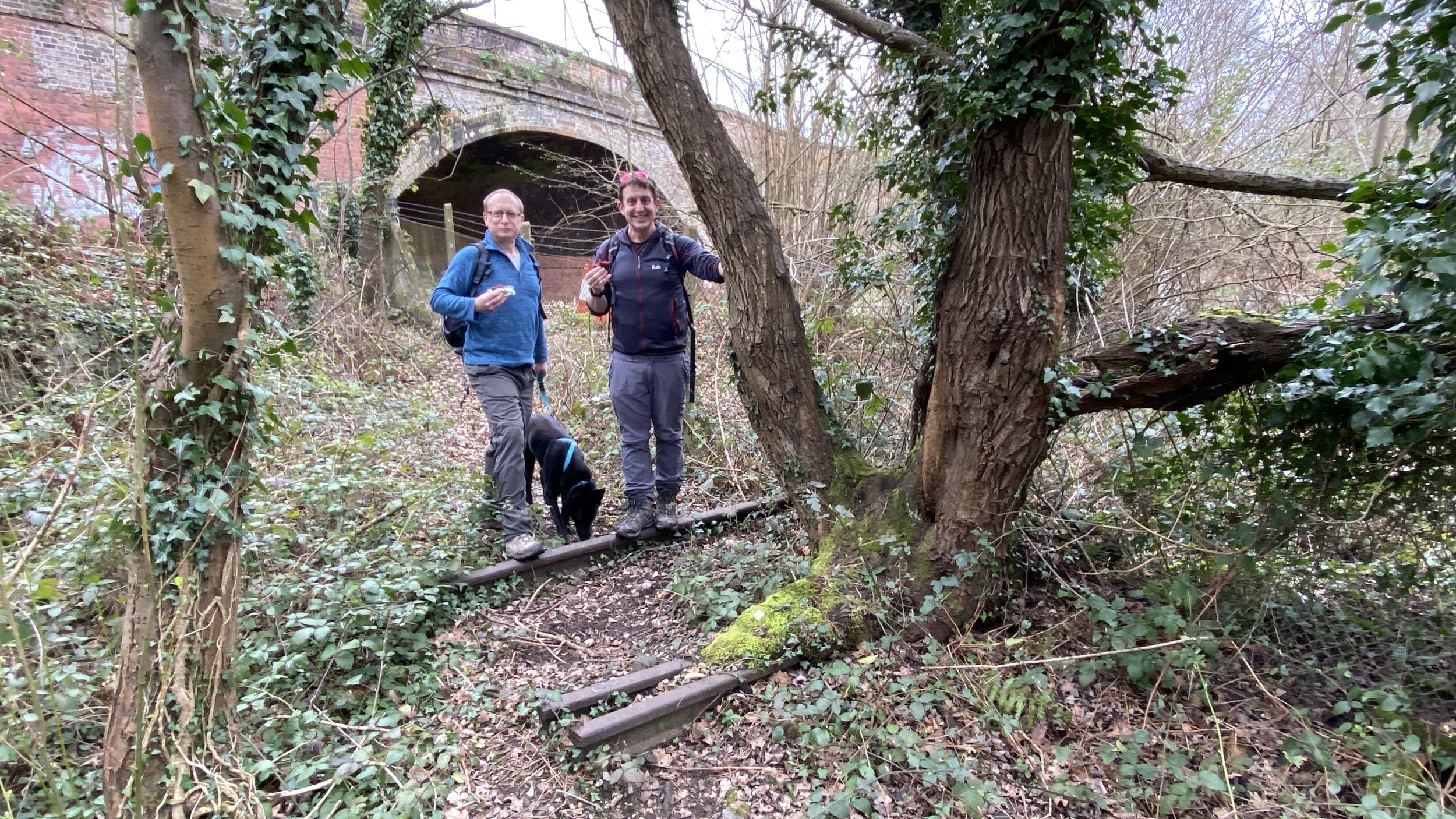
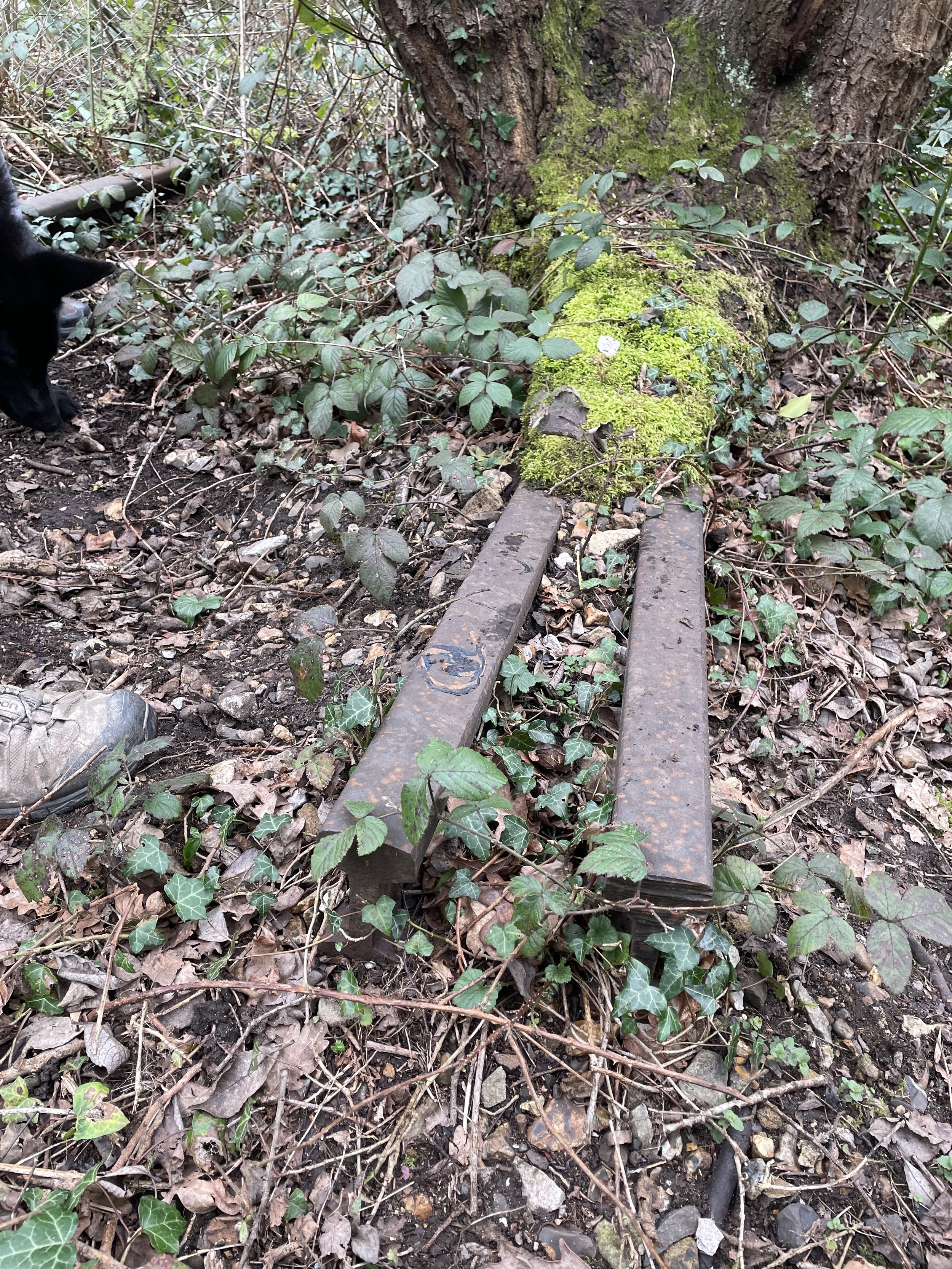
Continue a bit further and you’ll see where the Cranleigh Line used to split off from the Guildford to Petersfield line. Look closely near the A3100 Old Portsmouth Road bridge and you can see some remains of the old track with a tree growing out of them. This is the start of the old Cranleigh Line which becomes the route of the Downs Link further to the south.
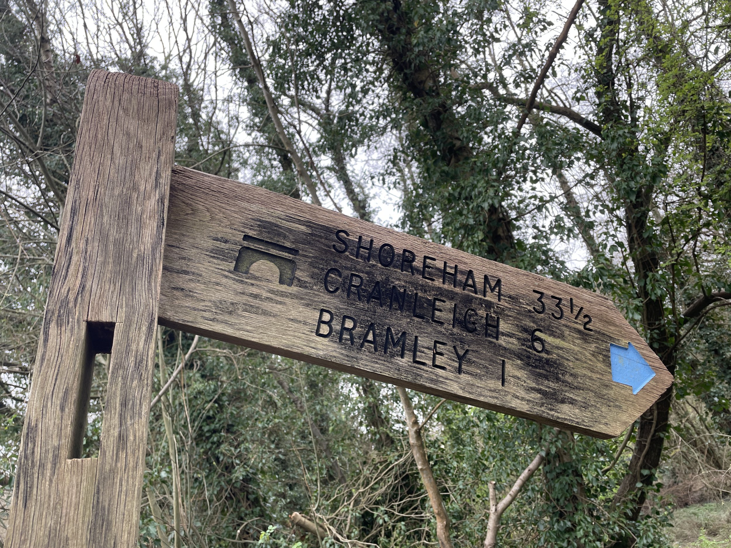
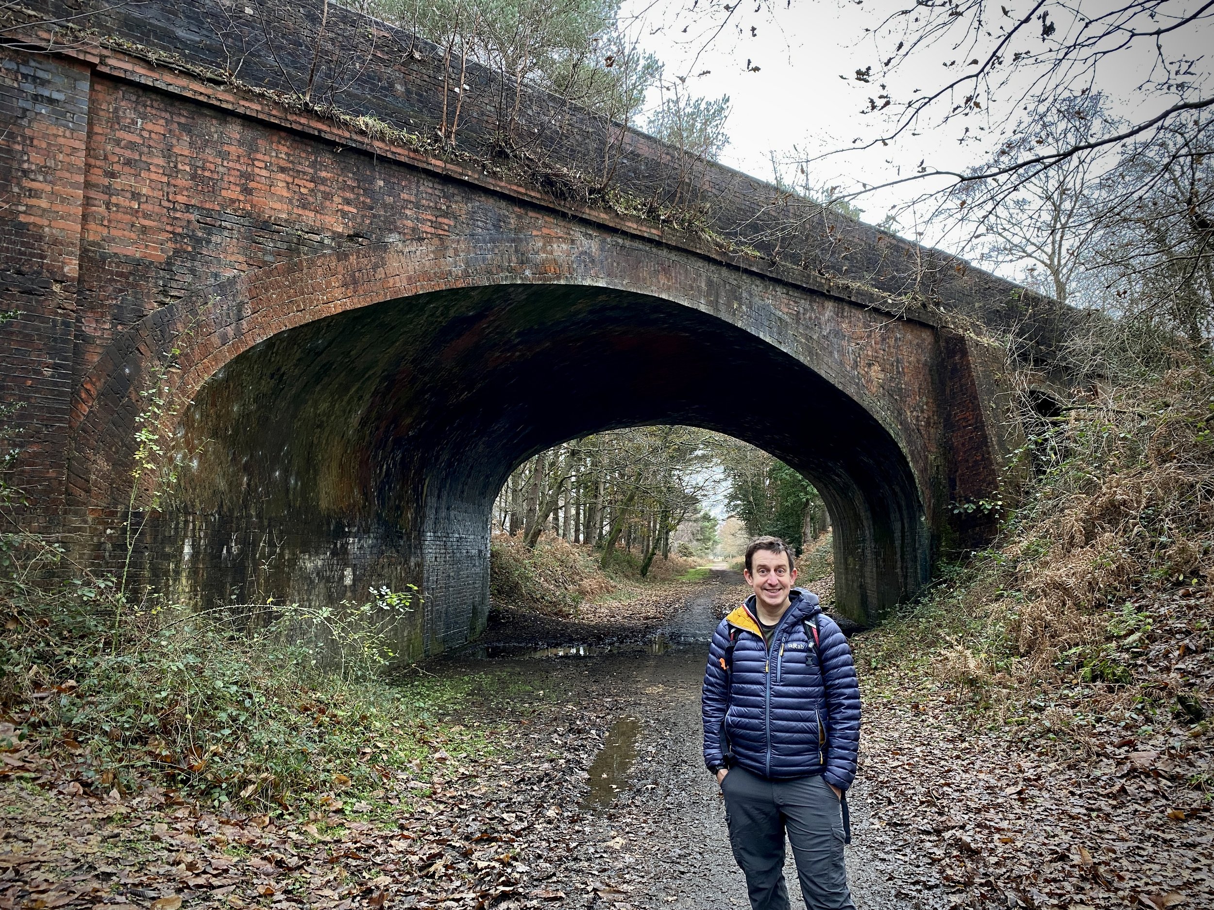
Follow the route of the old rail line for another 2km, crossing under Broadford Road, across Horsham Road and back onto the Wey-South Path. Our walk reaches its southernmost point at the Tannery Lane bridge where the Downs Link joins from the north-east. Having already done the rest of the Cranleigh Line on the Downs Link, this now completes the full stretch of the disused railway.
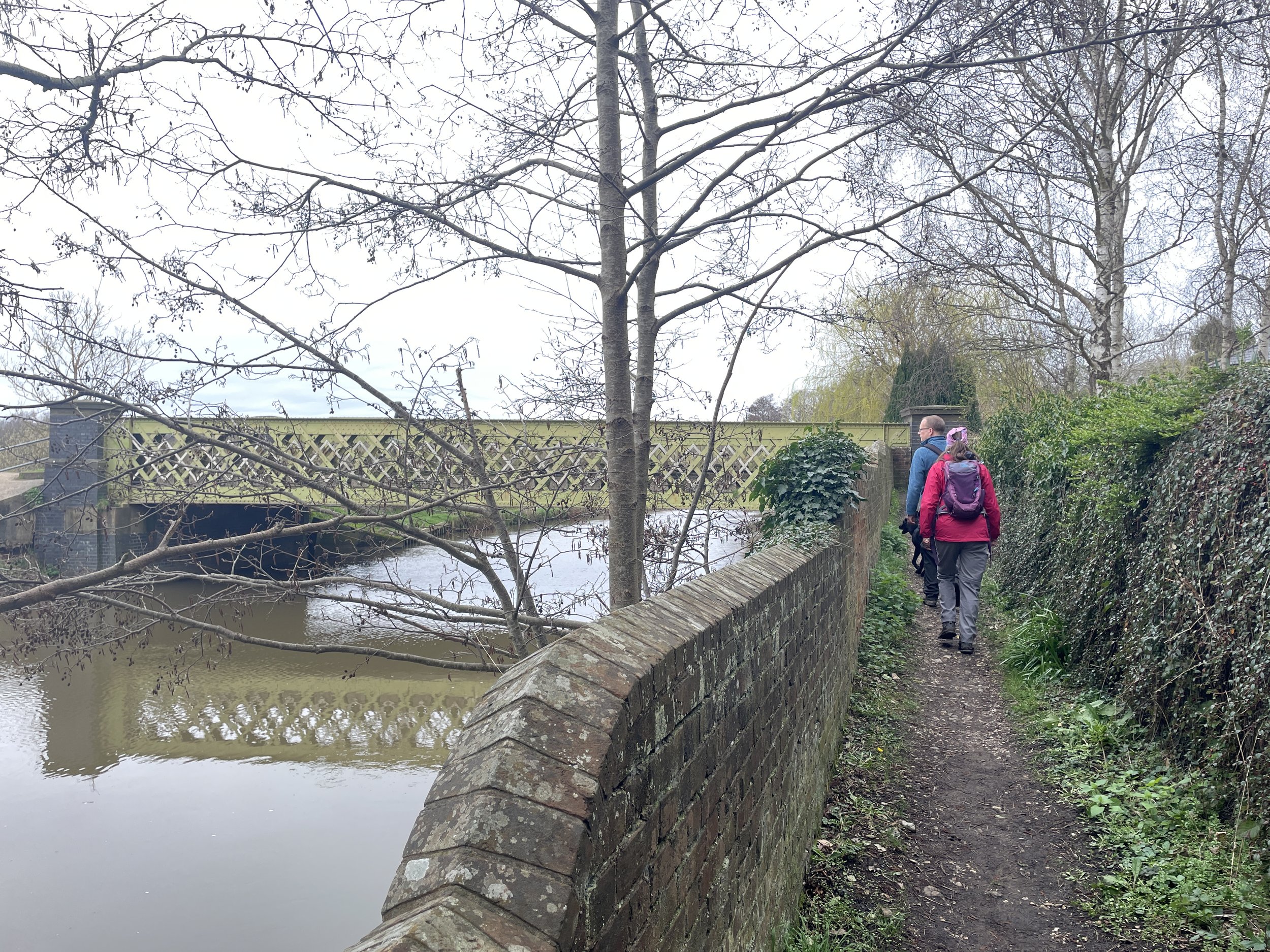
To complete the walk, turn around and retrace your steps back to Horsham Road. Instead of following the old rail line again take a right onto Horsham Road and follow the Wey-South Path. Stay on the Wey-South Path, along the banks of the Wey all the way back to Guildford. On this final stretch you’ll retrace the 1 km of the route between the Broadford Road Bridge and the start of the old railway line. You’ll also cross over the route of the North Downs Way. For me this would have been a more logical place to start the Downs Link as it would have run closer to the route of the rail lines. I guess whoever designed the trail wasn’t as much of a completist as I am and thought St Martha’s Hill was a more impressive place to start.
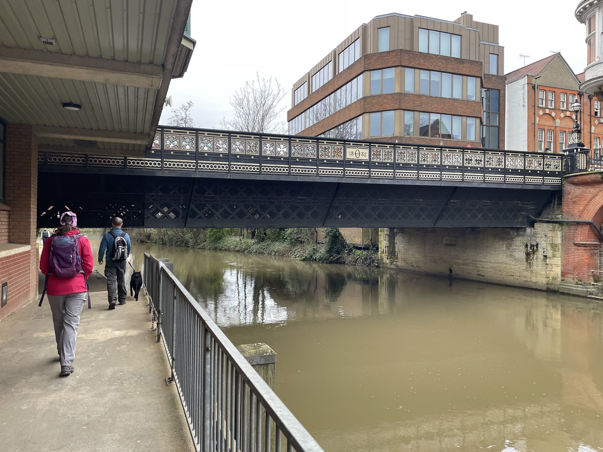
Annoyingly, the end-point of the Wey-South Path at Millmead Lock was blocked off when we got there. The footbridge onto the island was destroyed after heavy rain in 2019 and is still out of action. There’s an easy diversion along the A281 past The Weyside pub and then over the footbridge behind the theatre. The final 1 km of the walk follows the west bank of the Wey back to Guildford Station.


