Cycling The NCN 2 from Brighton to Southampton
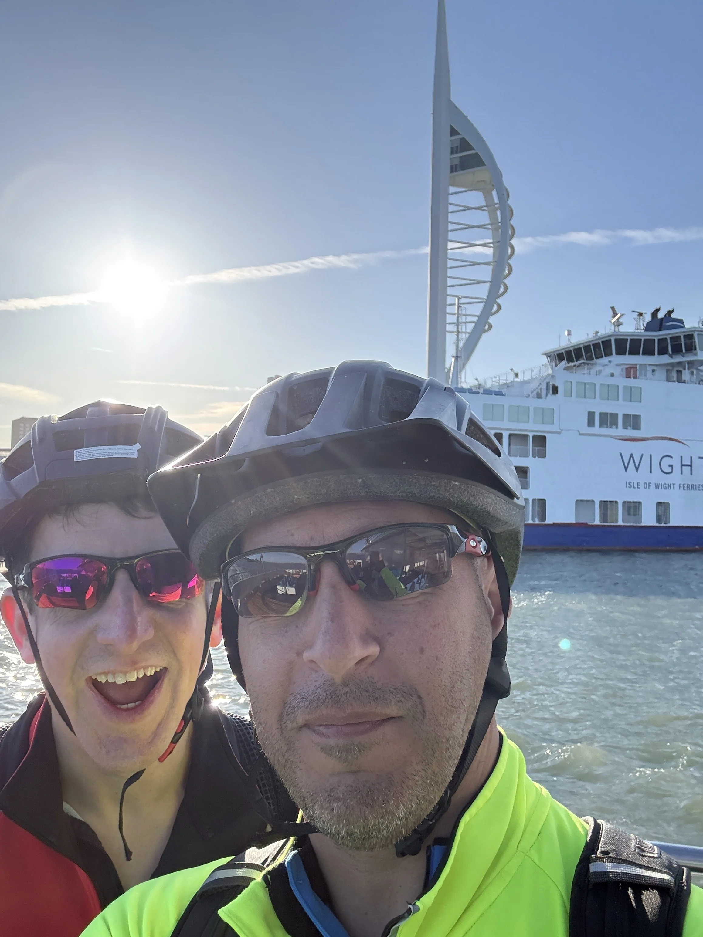
Early morning crossing on the Portsmouth to Gosport Ferry
It had been a few months since our last cycling trip back in early January, so Brian and I were definitely overdue a catch-up and another stretch of the south coast. The plan this time was to tackle a segment of National Cycle Route 2 (NCN2). We originally aimed to ride from Brighton to Bournemouth, but we ended up tweaking our plans to finish in Southampton instead. Here is how the weekend unfolded.
We set off on Friday afternoon. After finishing work, we met up at Slough station to catch the Elizabeth line into London. We were aiming for the Thameslink from Farringdon down to Brighton, but we hit a familiar snag: you can't take non-folding bikes on the train during the Friday evening rush hour.
Rather than stressing about it, we used the time to grab dinner in Farringdon. We eventually boarded the 19:00 train and arrived in Brighton around 20:00. By the time we pushed the bikes to the Premier Inn, it was already dark. We parked them securely in our room and wandered into the centre of Brighton for a couple of drinks to properly catch up.
Day 1: Brighton to Southsea
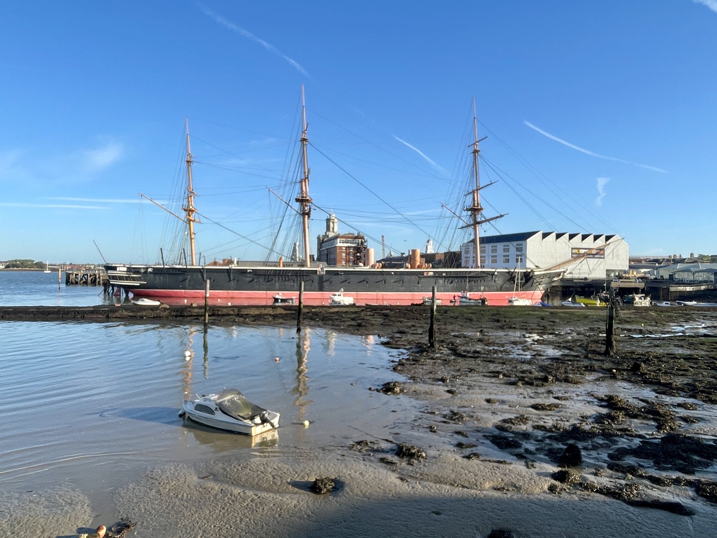
Start: Brighton Palace Pier, Madeira Drive, Brighton, BN2 1TW
Finish: Clarence Pier, Southsea, Portsmouth, PO5 3AA
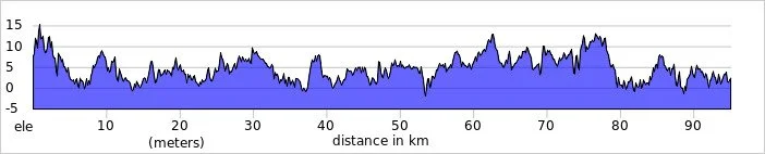
Distance: 95 km (59 miles)
Elevation change: + 316m / -321m (Net -5m)
GPX File: get via Buy Me a Coffee
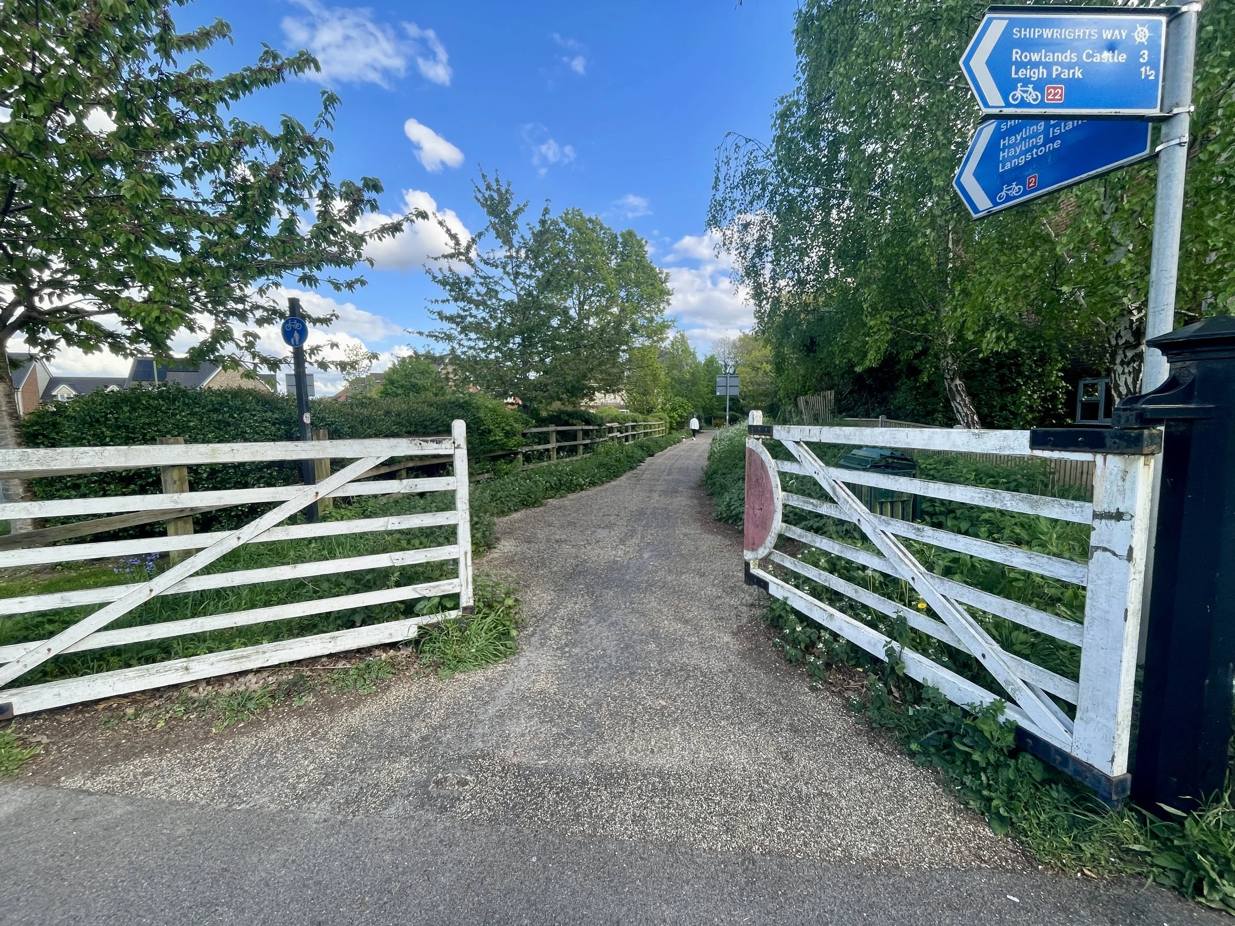
Other routes touched (walk): King Charles III England Coast Path, Monarch’s Way, New Lipchis Way, The Selsey Tramway, Centurion Way, Sussex Border Path, The Shipwrights Way, Wayfarers Walk, Solent Way, Langstone Habrobour Waterside Route,
Other routes touched (cycle): NCN 2, 222, 288
Pubs / Cafes on route: Loads but we stopped for lunch at Soul Kitchen & Bar, Littlehampton (35 km in)
Maps:
- Brighton & Hove Map | Lewes & Burgess Hill | Ordnance Survey | OS Explorer Map OL11
- Arundel & Pulborough Map | Worthing & Bognor Regis | Ordnance Survey | OS Explorer Map OL10
- Chichester Map | South Harting & Selsey | Ordnance Survey | OS Explorer Map OL08
- Meon Valley Map | Portsmouth, Gosport & Fareham | Ordnance Survey | OS Explorer Map OL3
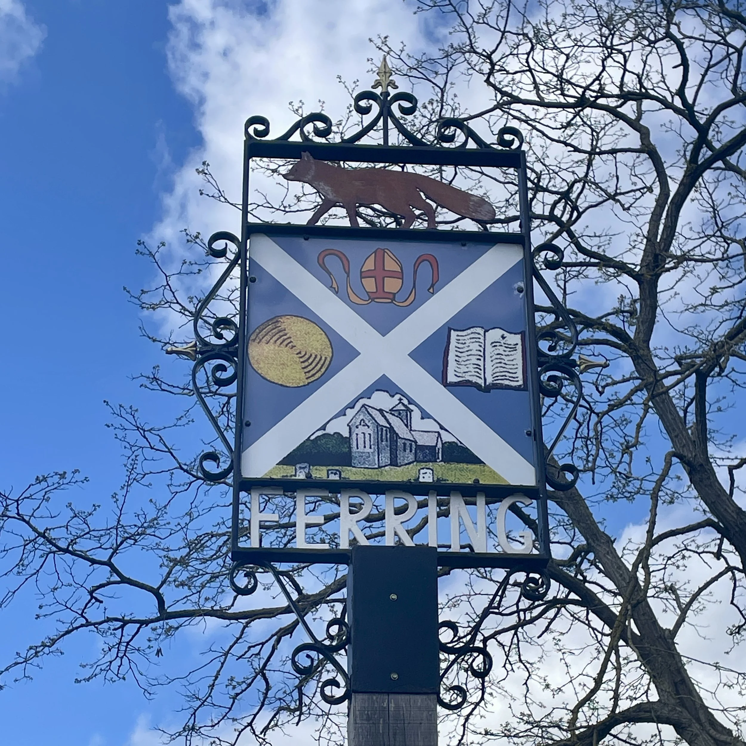
Links: Brighton, Hove, Shoreham-by-Sea, Worthing, Ferring, Angmering, Littlehampton, Felpham, Bognor Regis, Aldwick, North Mundham, Chichester, Warblington, Havant, Hayling Island, Eastney, Southsea
I've been cutting down on alcohol this year, so those couple of glasses of wine on Friday night had an unfortunate consequence: I snored loudly all night. Brian barely got a wink of sleep.
Because of that, our Saturday morning started separately. I headed out early for the Hove Promenade parkrun. Usually, Brian would tag along and chill in a cafe, but he desperately needed to catch up on sleep. We met up at 09:30 after my run. I was in serious need of coffee and food by then, so we stopped at a lovely little independent bakery and cafe in Hove called MAKA for a sausage roll and a coffee while looking out to the sea.
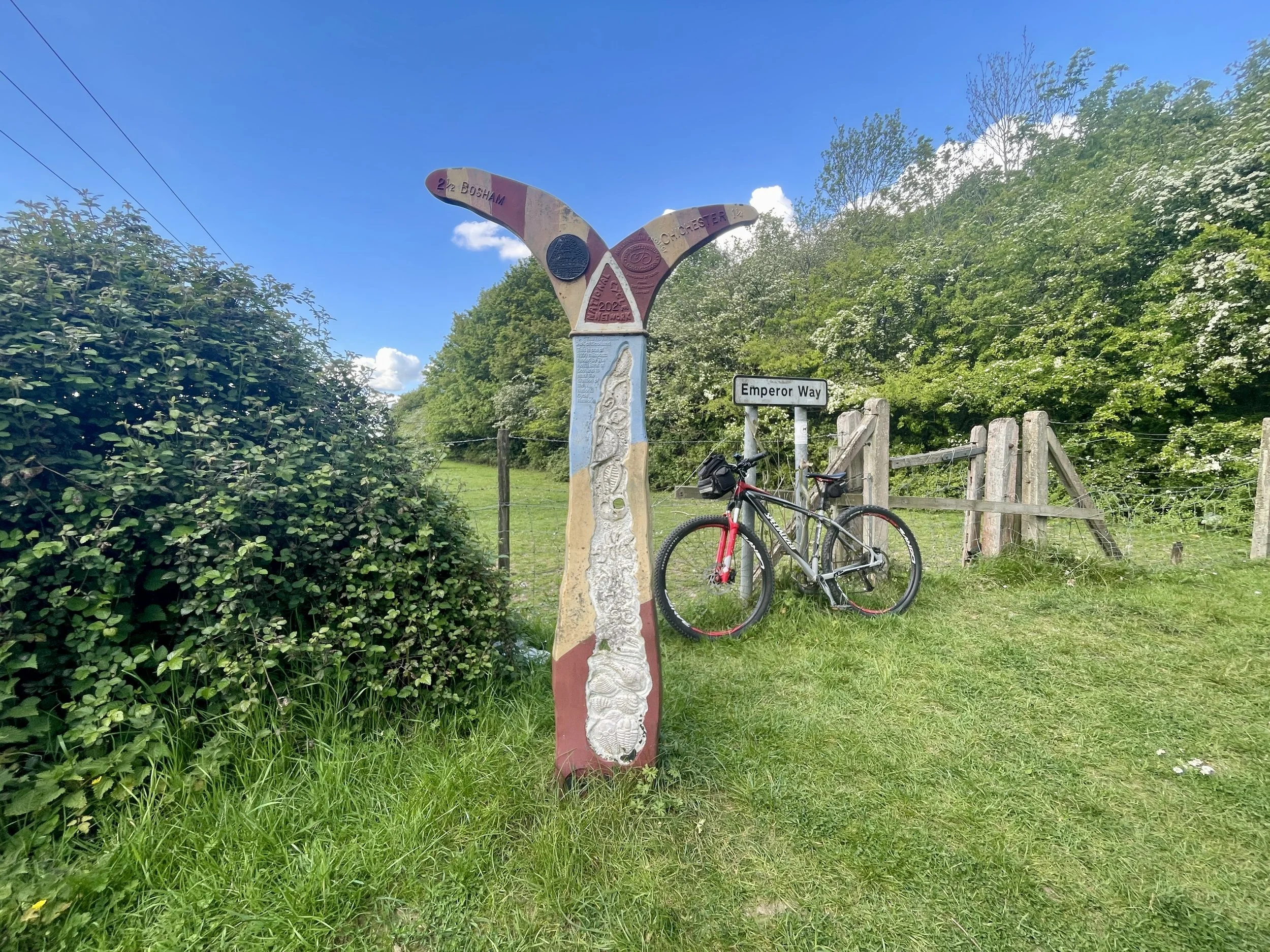
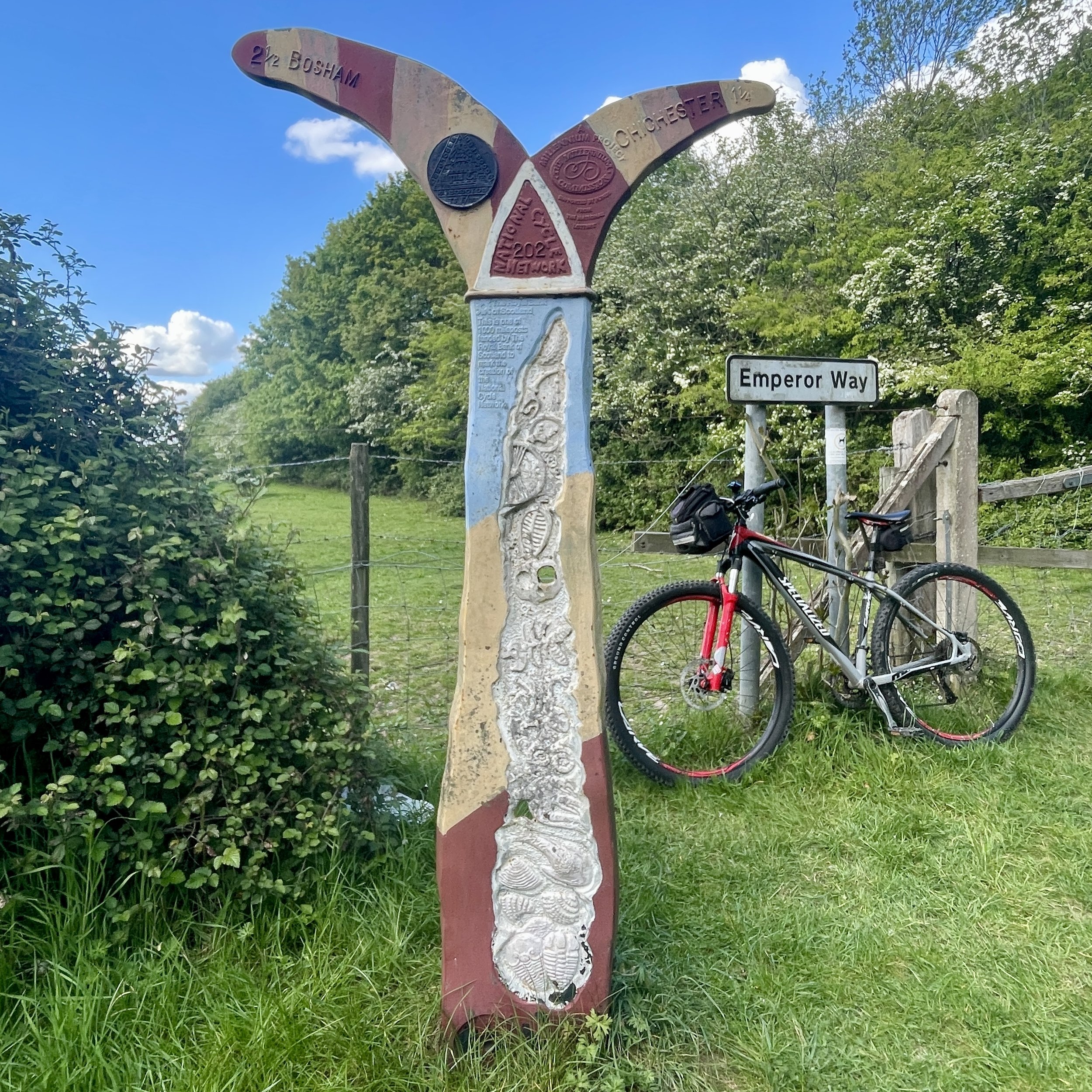
We finally hit the road around 10:00, heading west on NCN2. We quickly spotted our first Millennium Milepost just past a bench in Hove. We were looking out for them as they were a major feature of our previous south coast trips, but they were pretty sparse this time: we saw two close together in Hove, and only one more just outside Chichester.
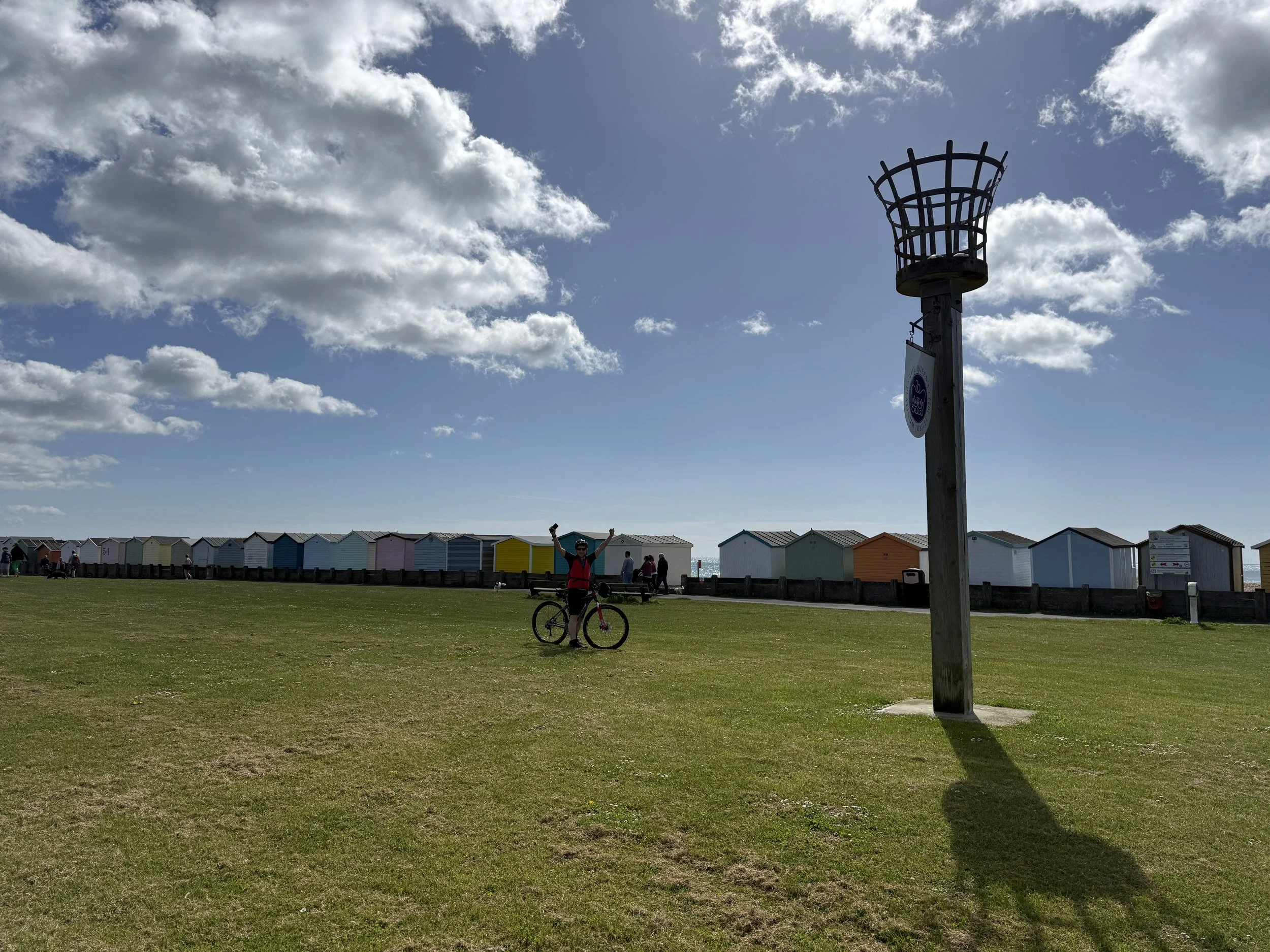
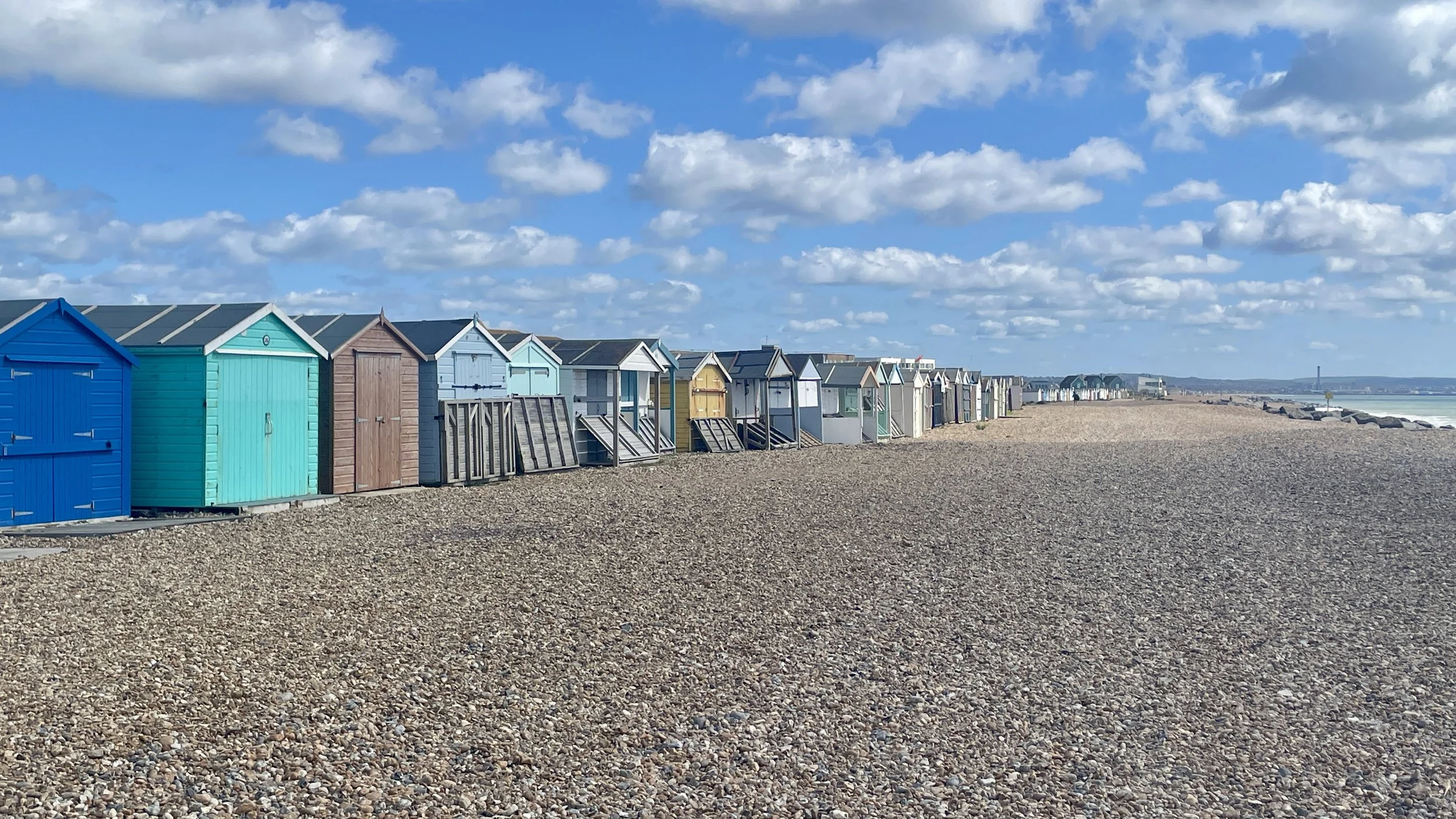
The morning ride stuck closely to the seafront. We actually cycled along the routes of several south coast parkruns, passing through Shoreham-on-Sea, Lancing, Worthing, and Goring-on-Sea. The route dips inland at Ferring to bypass a coastal path you can't cycle on, goes through Angmering, briefly touches the coast at Littlehampton, and then heads inland again before reaching Bognor Regis. We had planned an ice cream stop there, but despite the warm sunshine, the wind coming off the sea was incredibly strong, so we just pressed on.
Just after Bognor Regis, between Aldwick and Nyetimber, the official NCN2 signs simply vanished. We ended up following a path that seemed to be either a future or decommissioned section of the route. Despite this, the section actually turned out to be a real highlight of the day. It took us off the hard pavements and guided us cross-country through some beautiful fields, farmland, and dirt tracks.
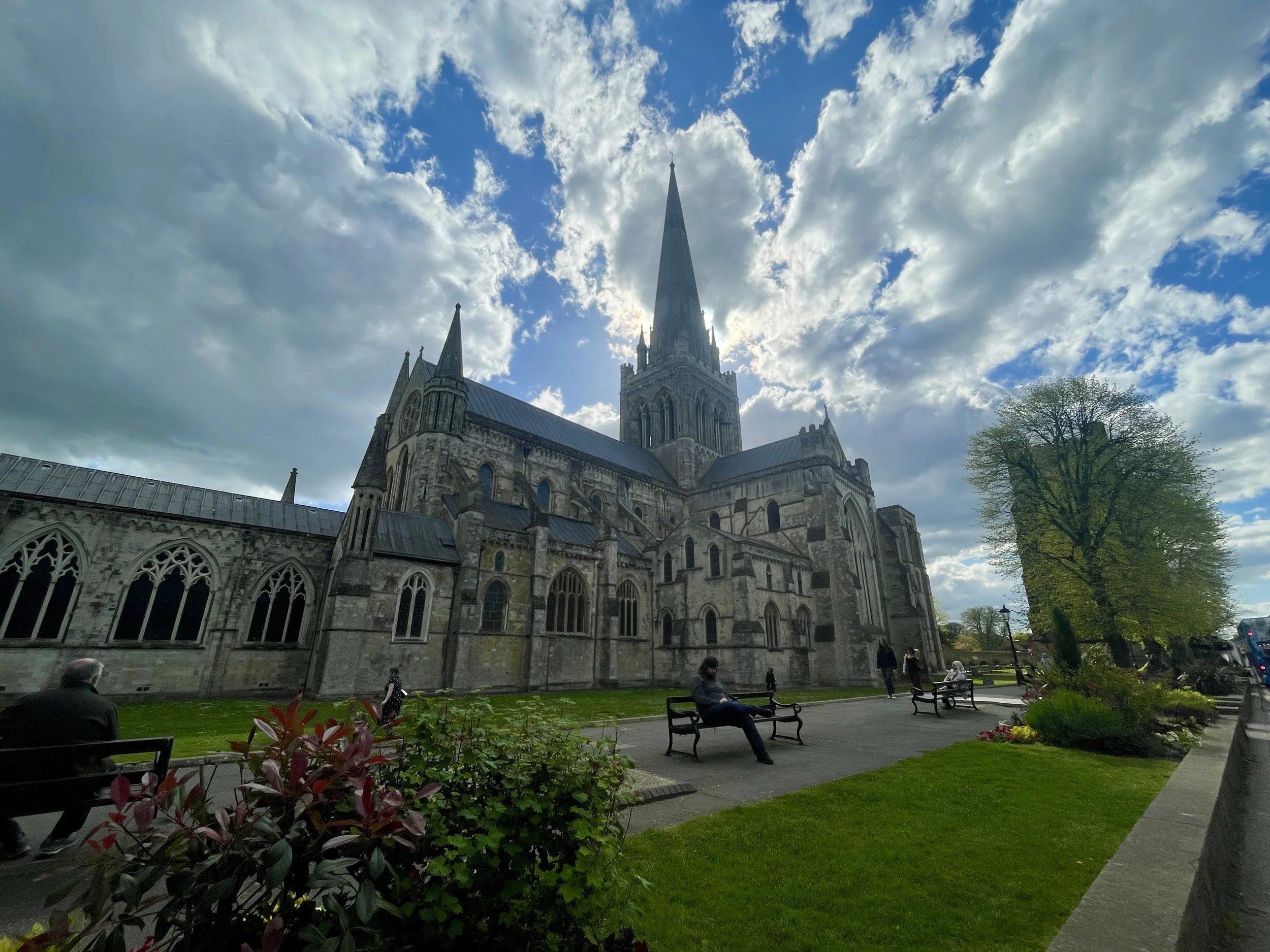
The NCN2 signs finally picked up again at South Mundham. From there, we headed north into Chichester and stopped for a well-deserved coffee and cake to make up for the missed ice cream. Our original plan was to stay overnight in Chichester, but when I was booking, the hotels were completely full due to an event in town that weekend.
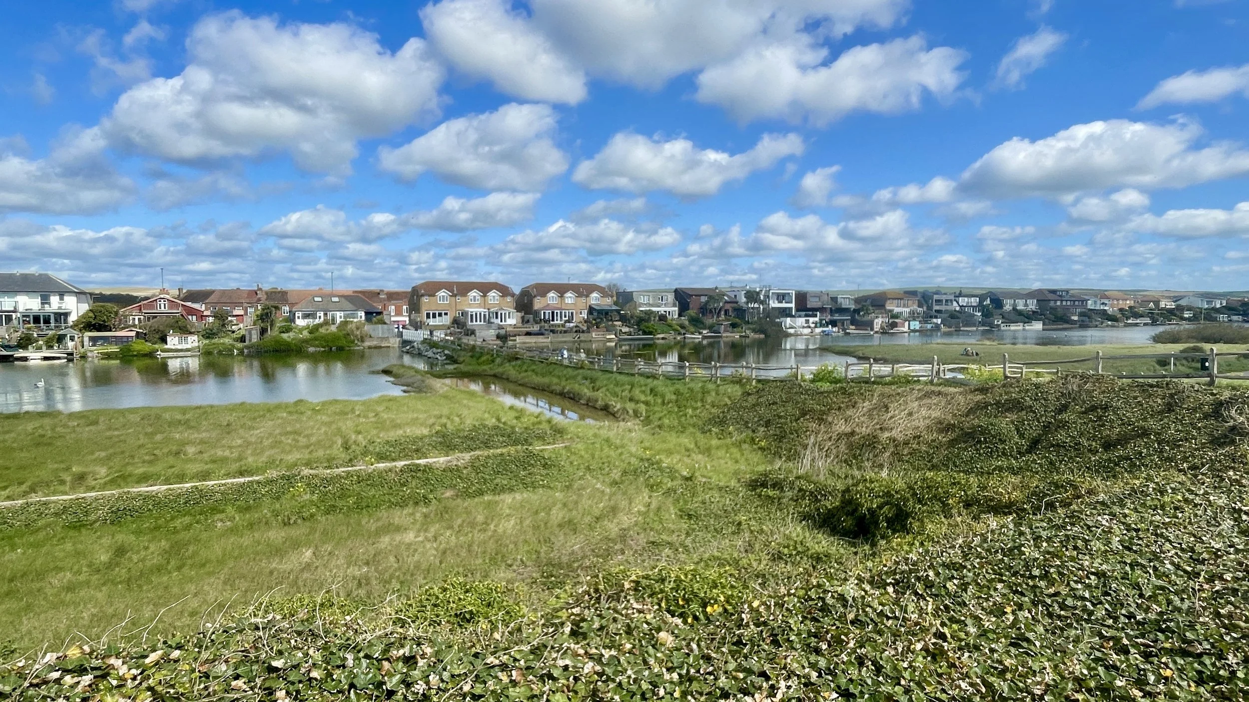
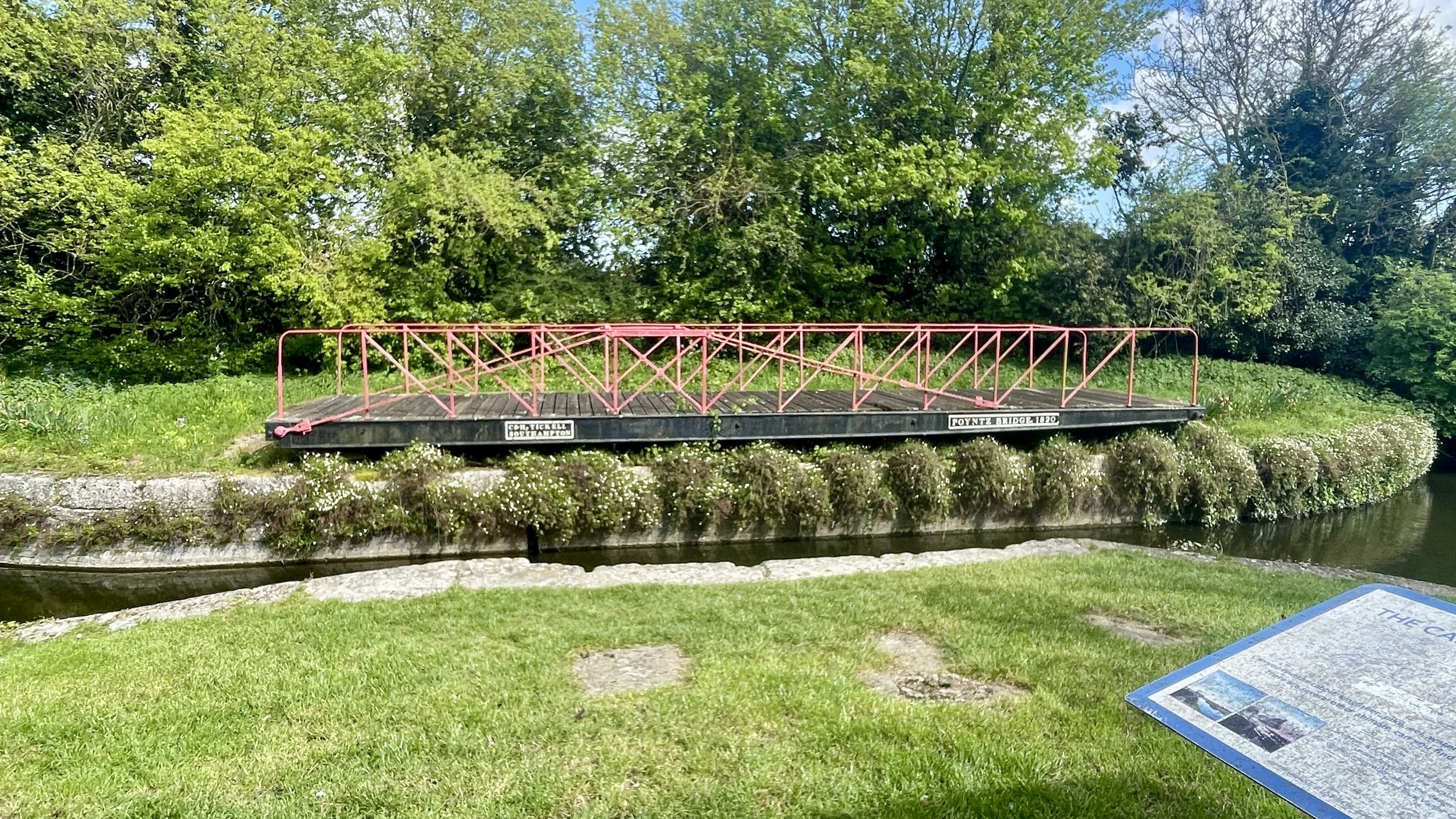
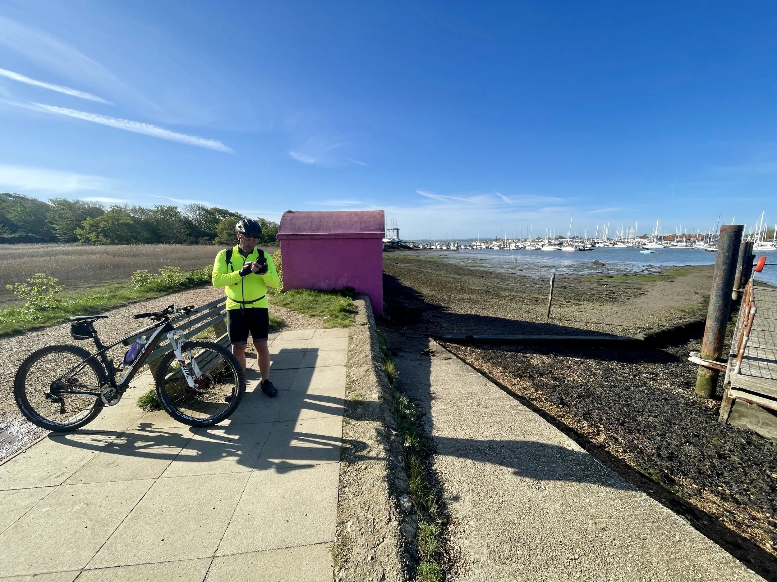
Suitably refreshed, we pushed west along the road bordering the top of Chichester Harbour, a National Landscape that I previously visited a couple of years back while hunting for its very low High Point.
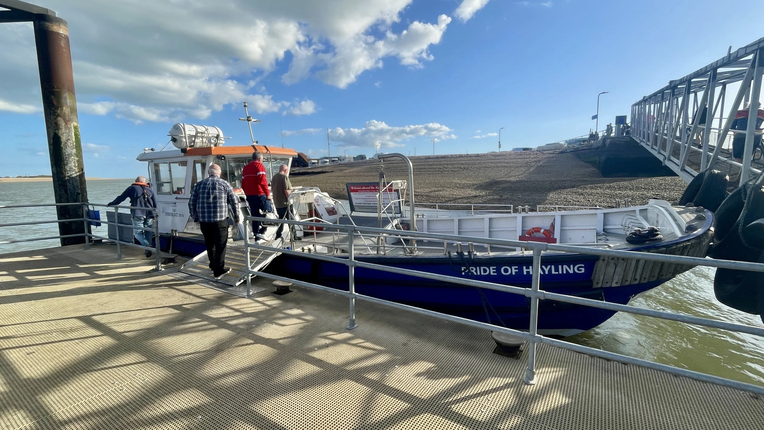
Approaching Havant, we picked up the pace. We were pretty tired, but I knew we had to catch the 17:40 Hayling Ferry to Eastney Point, or we'd be stuck waiting an hour for the next one. I managed to roll up to the jetty with about 30 seconds to spare.
I got on board and anxiously told the ferry staff my friend was right behind me. Turns out he wasn't. The boat was full, the crew were eager to leave, and I was torn between getting off to wait at the pub for an hour or holding the boat up. Just as I reached the point where I couldn't make them wait any longer and was about to step off, Brian came pedalling down the jetty. He was five minutes late but just in time. The crossing only took five minutes, but catching it gave us an extra hour for dinner and an early night.
From Eastney Point, it was a short 20-minute ride to our hotel, the Southsea Premier Inn. After checking in and showering, we were absolutely starving. We decided to walk northwest along the seafront into Old Portsmouth and found a nearby pub called The Dolphin. We enjoyed fish and chips and a much more modest amount of wine before finally getting some proper sleep.
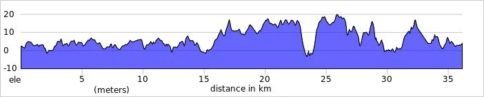
Day 2: Southsea to Southampton
Start: Clarence Pier, Southsea, Portsmouth, PO5 3AA
Finish: Central Station Bridge, Blechynden Terrace, Southampton SO15 1AL, United Kingdom
Distance: 36 km (22 miles) … plus an additional 12km for the Warsash Ferry diversion (see text below).
Elevation change: + 190m / -188m (Net -2m)
GPX File: get via Buy Me a Coffee
Other routes touched (walk): King Charles III England Coast Path, The Shipwrights Way, Solent Way, Strawberry Trail, Hamble Rail Trail Route
Other routes touched (cycle): NCN 2, 22, 23, 236
Pubs / Cafes on route: Several options but we had breakfast in Jenny’s Cafe, Hamble-le-Rice (24 km in)
Maps:
- Meon Valley Map | Portsmouth, Gosport & Fareham | Ordnance Survey | OS Explorer Map OL3
- New Forest Map | Southampton, Ringwood, Ferndown, Lymington, Christchurch & Bournemouth | Ordnance Survey | OS Explorer Map OL22
Links: Southsea, Portsmouth, Gosport, Lee-on-the-Solent, Warsash, Hamble-le-Rice, Netley, Southampton
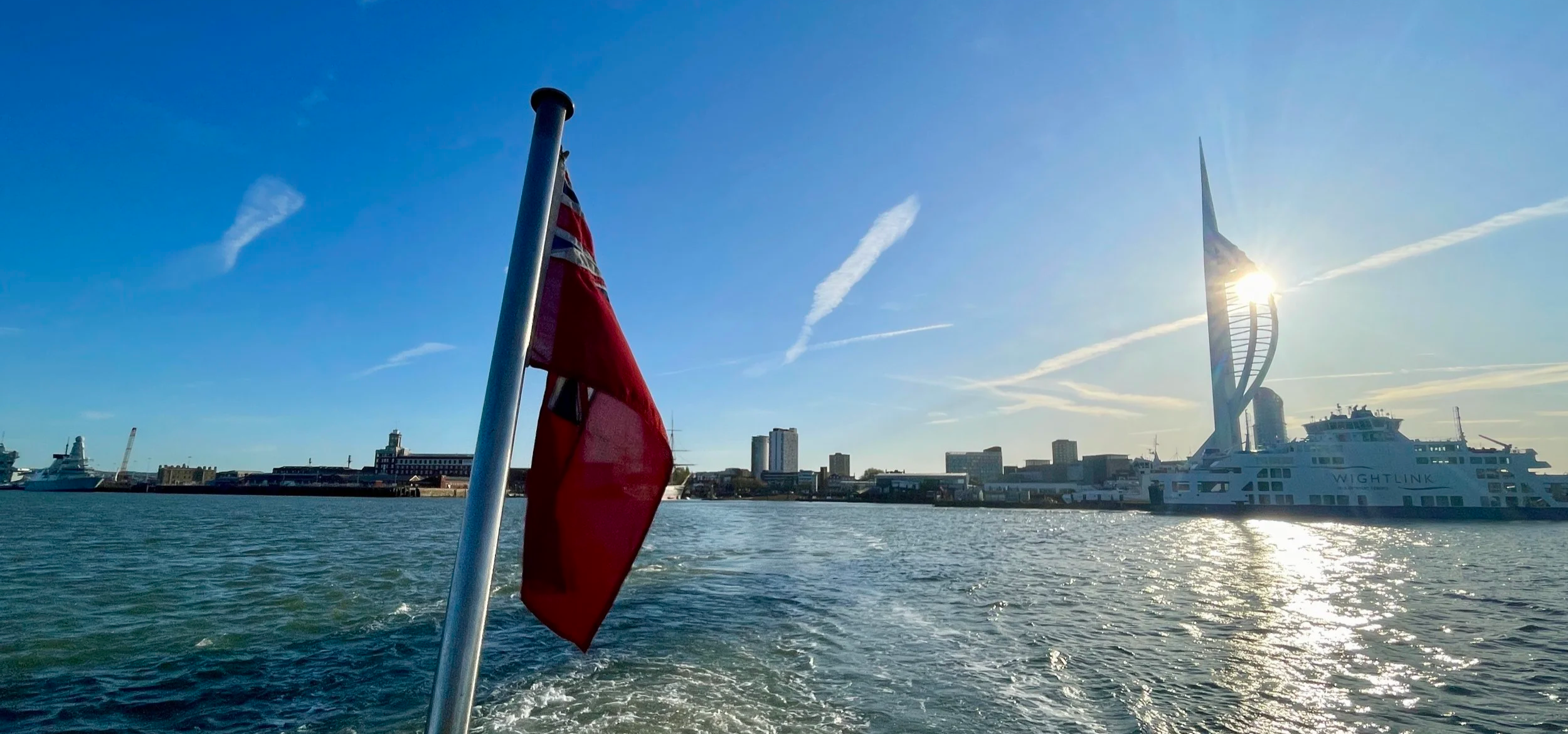
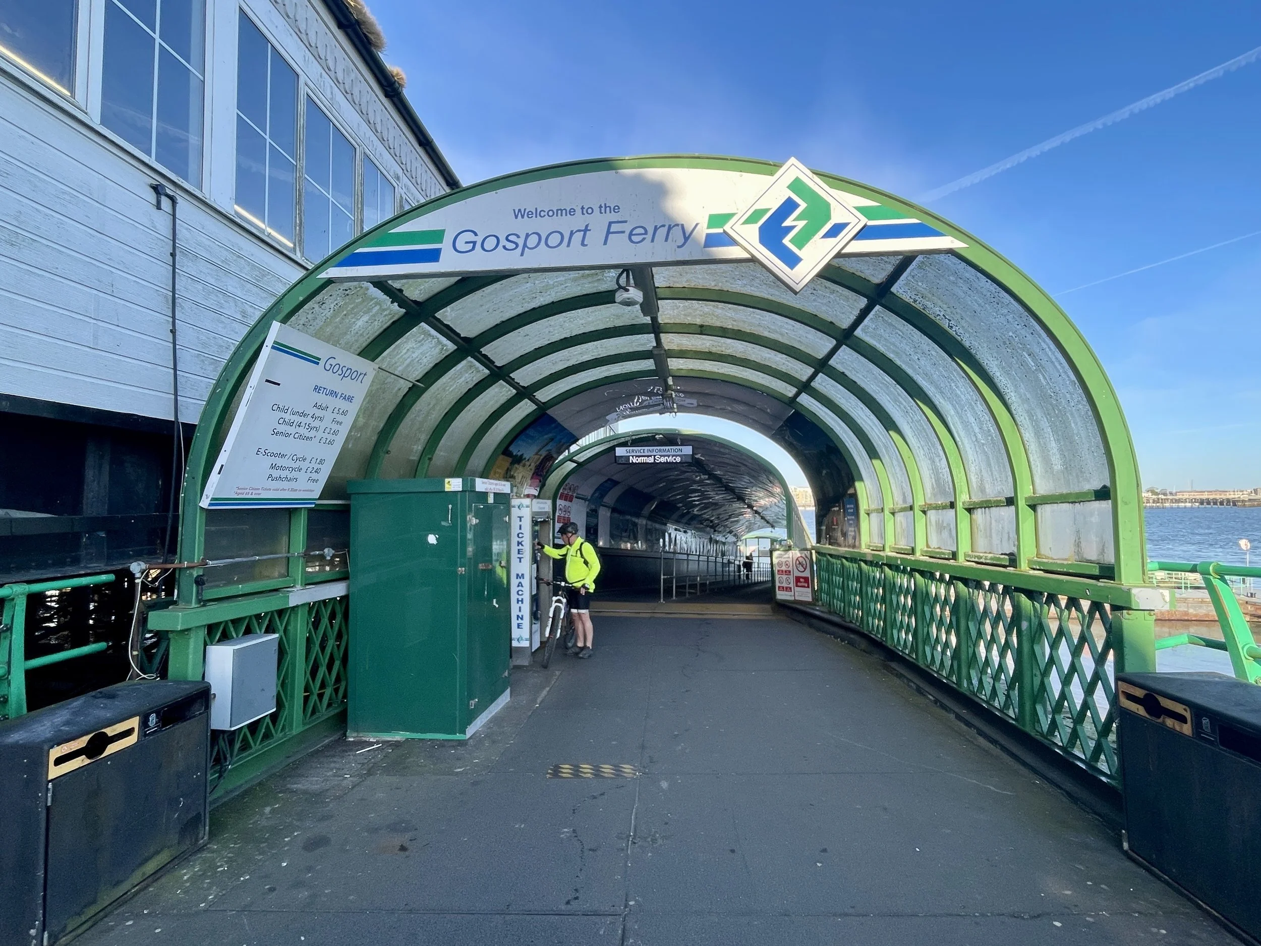
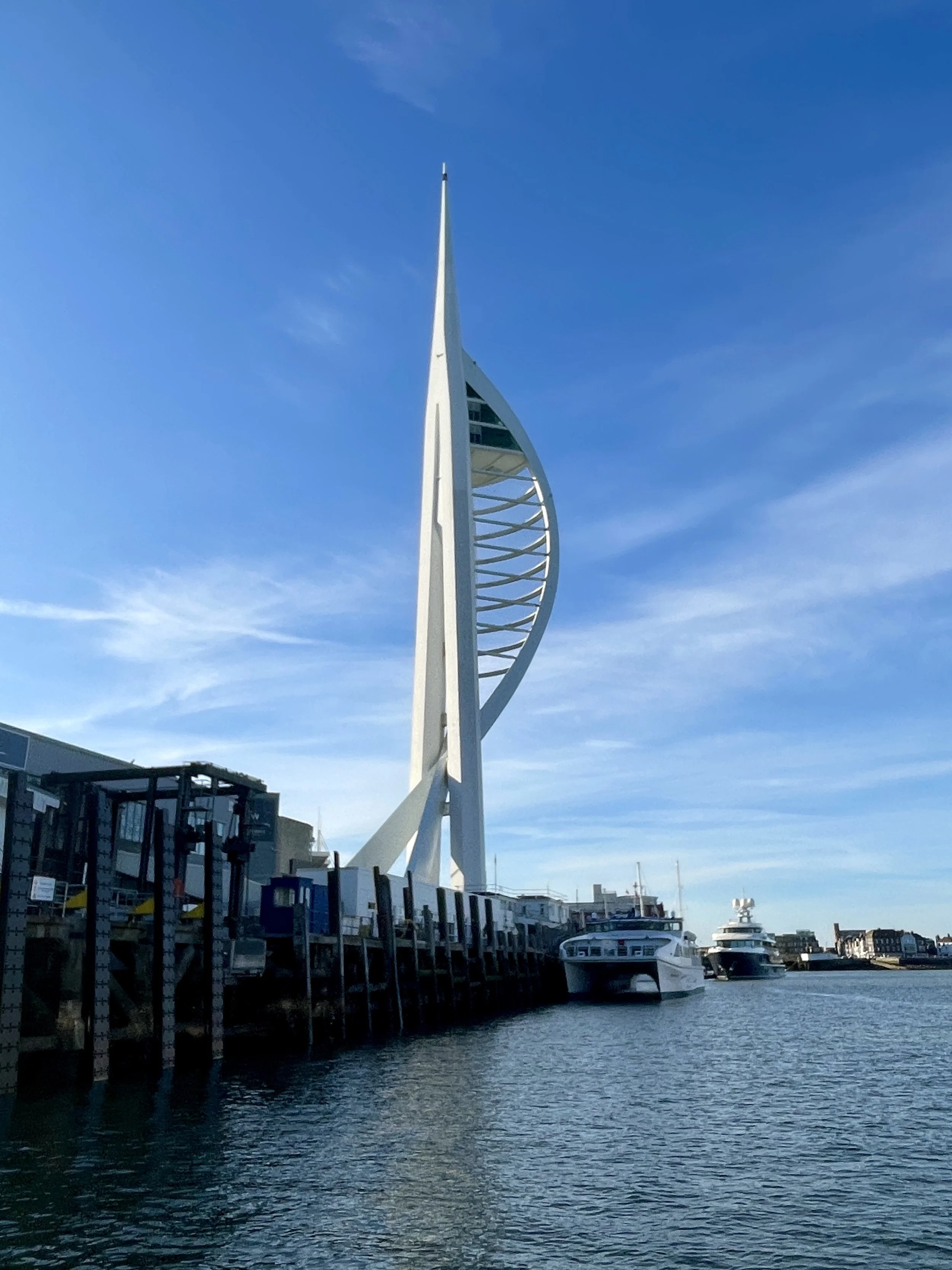
Thankfully, I didn't snore quite as much, and we both woke up well-rested around 06:00. We left the hotel at 07:15 for a 15-minute cycle over to Portsmouth Harbour. The Gosport Ferry runs every 15 minutes, so we barely had to wait at all. The crossing was really nice, with the morning sun coming up and illuminating the Spinnaker Tower and the Historic Dockyard.
The cycle through Gosport was a lovely stretch, passing through quiet little villages with great views of the Isle of Wight to our left. Feeling pretty good, we debated pushing on to our original goal of Bournemouth (which is about 55 km past Southampton). However, our second ferry drama of the weekend ended up making the decision for us.
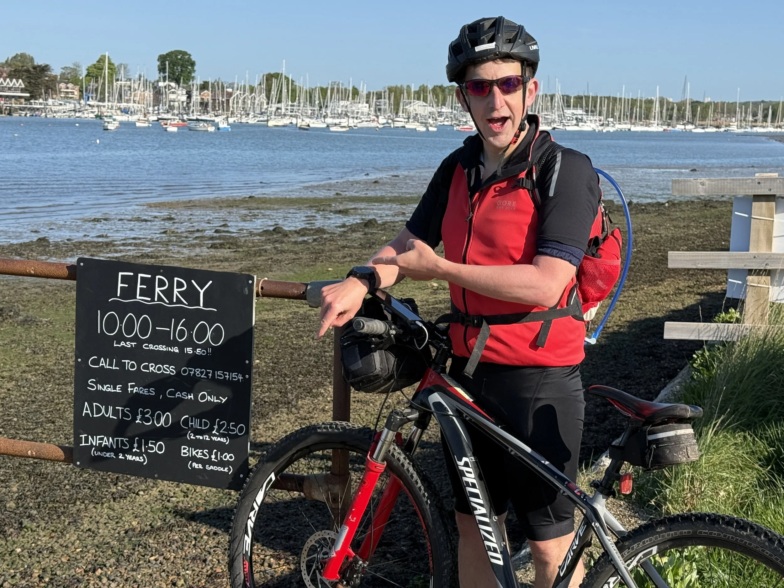
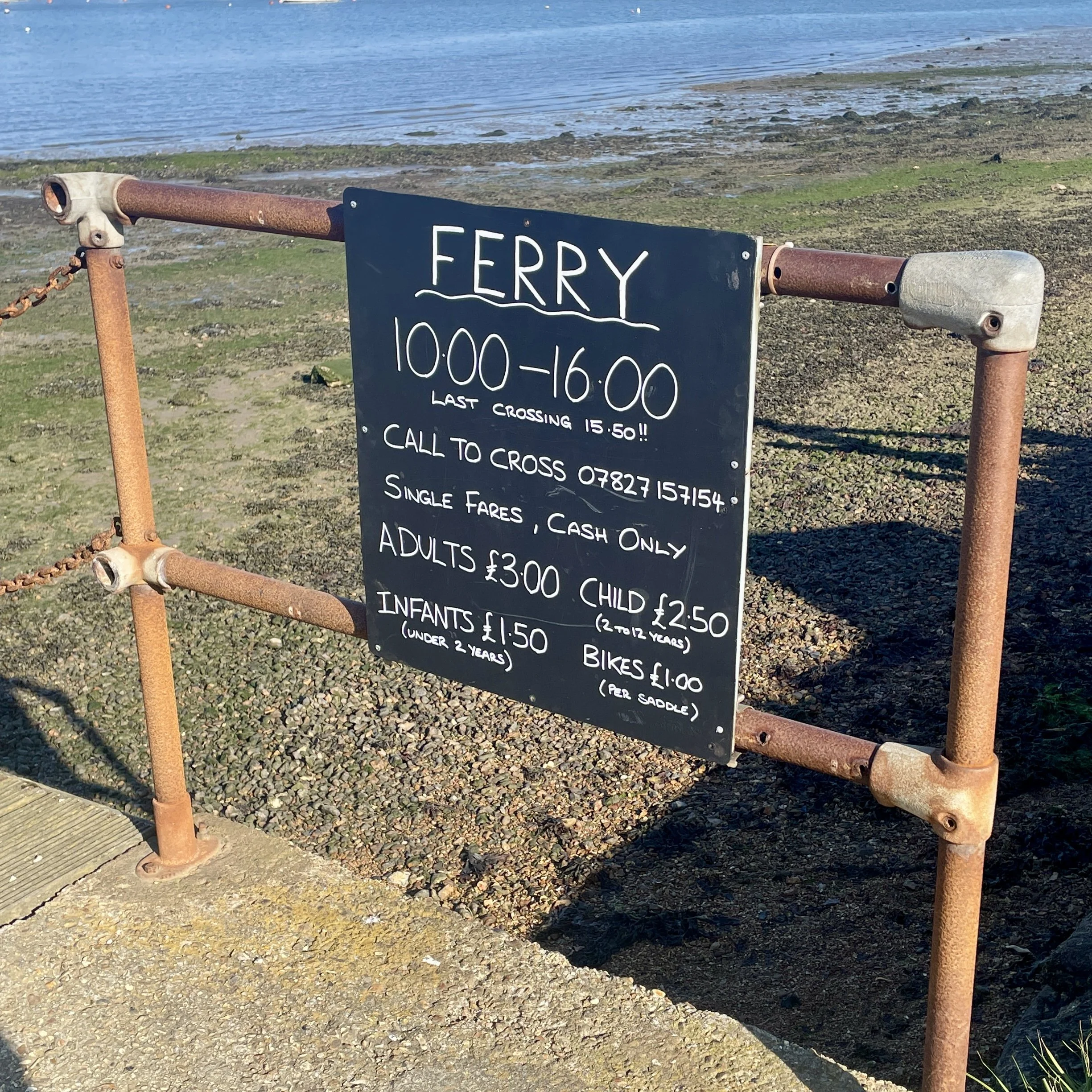
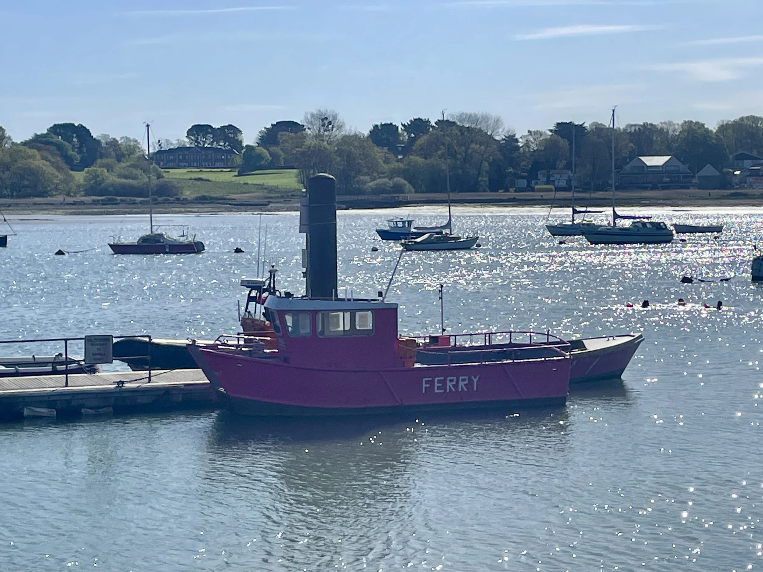
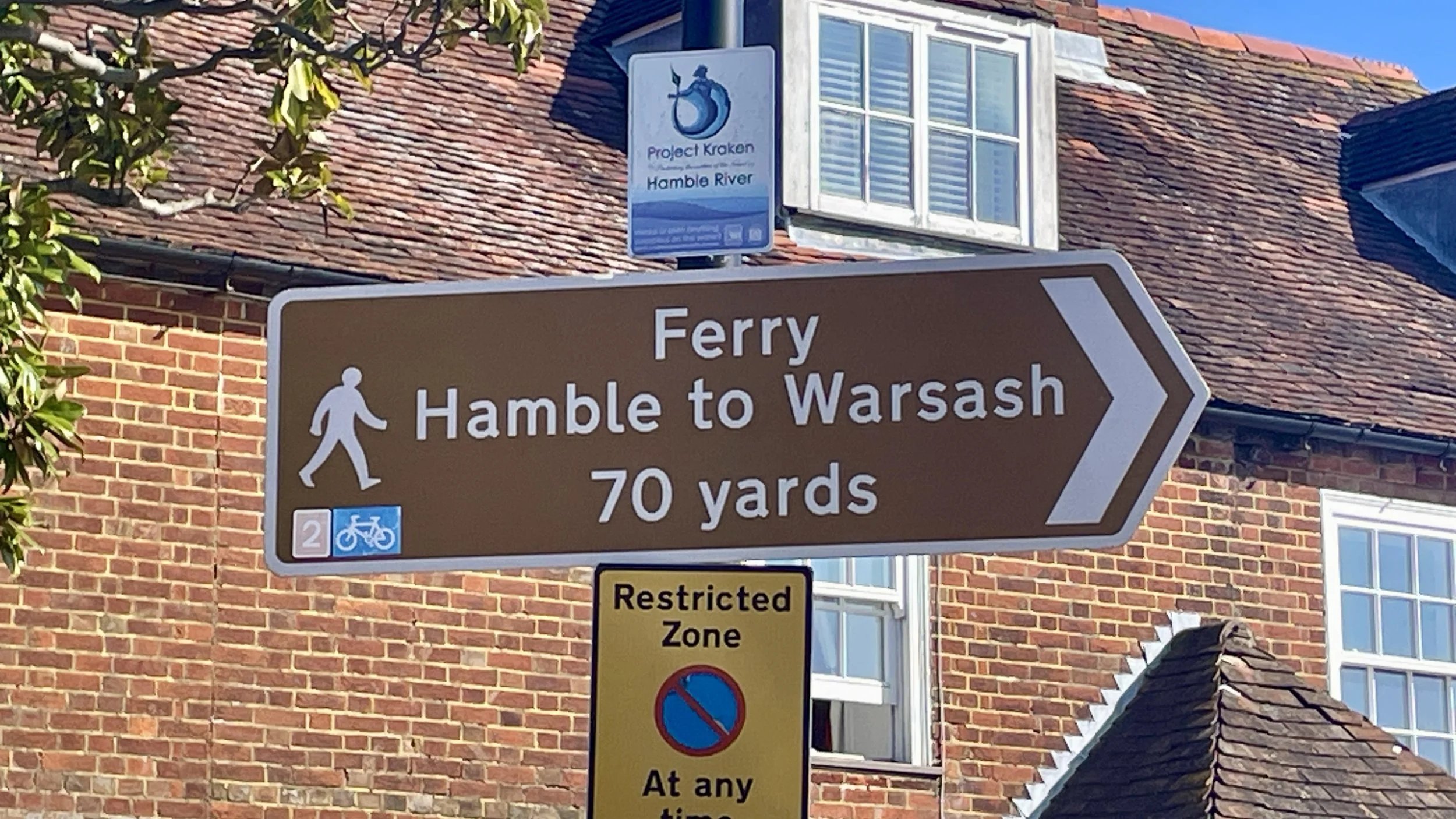
We arrived at the jetty for the Pink Ferry at Warsash (which crosses the River Hamble to Hamble-le-Rice) at 09:00. I had completely forgotten to check the times, and unfortunately, a sign informed us the Sunday service didn't start until 10:00. We were an hour too early. We had flashbacks of our West Coast Ireland trip a few years back when we made an early start to catch a ferry that turned out to start much later on a Sunday.
Waiting a whole hour would have seriously thrown off our timings for getting home for a rest in the hot tub. The alternative was to avoid the ferry with a 20-minute detour north to Lower Swanwick, crossing the bridge to Bursledon, and cycling down the other side. Brian decided his legs just couldn't take the extra cycling, so we made the call: Southampton would be our final destination.
Rather than taking the direct road to Southampton station, we decided to cycle back down south to Hamble-le-Rice on the opposite side of the ferry crossing. Since we were stopping in Southampton, we weren't pressed for time, and it meant we could still continue our journey along NCN2 as originally planned.
This actually turned out to be a fantastic decision. Hamble-le-Rice is a gorgeous, quaint little village. We were starving by this point, having cycled for nearly three hours, so we stopped at a really nice cafe called Jenny's. We stayed for an hour, taking it easy and chatting over a massive, much-needed breakfast.
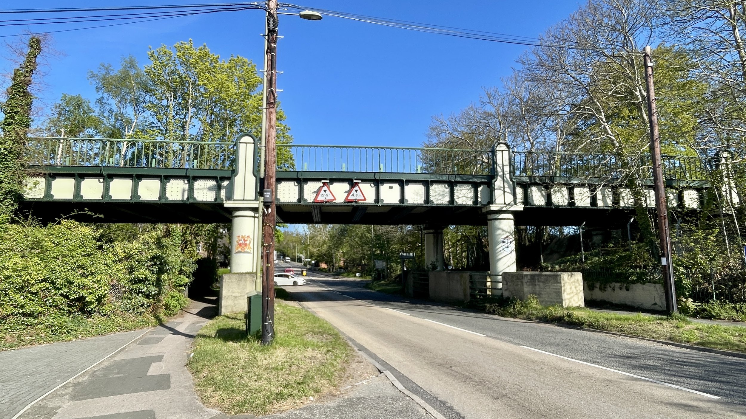
The final leg into Southampton was packed with interesting history. Just outside Hamble-le-Rice, the cycle route joins the Hamble Rail Trail. This is a disused railway track originally built during the First World War to serve an aircraft factory, and later used to transport oil from the BP terminal.
We followed the route through some lovely parkland, passing right through the grounds of Netley Abbey and the Royal Victoria Country Park: the site of the historic Royal Victoria Military Hospital, which also had its own dedicated railway line.
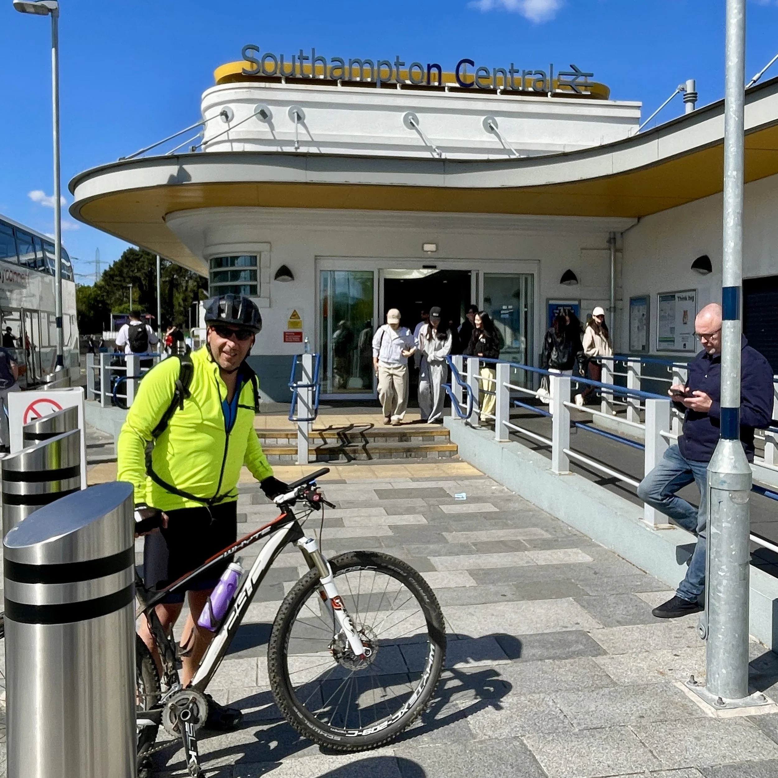
We followed the waterfront up to Woolston, crossed over the big Itchen Bridge, and navigated the city streets until we reached Southampton Central station at midday. From there, we bought our tickets and caught the train home via Reading, ready for a well-earned soak in the hot tub before the week ahead.
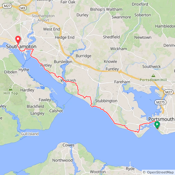
The Full 2-Day Route
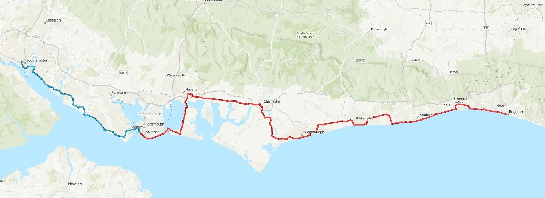
Day 1 in red, day 2 in blue
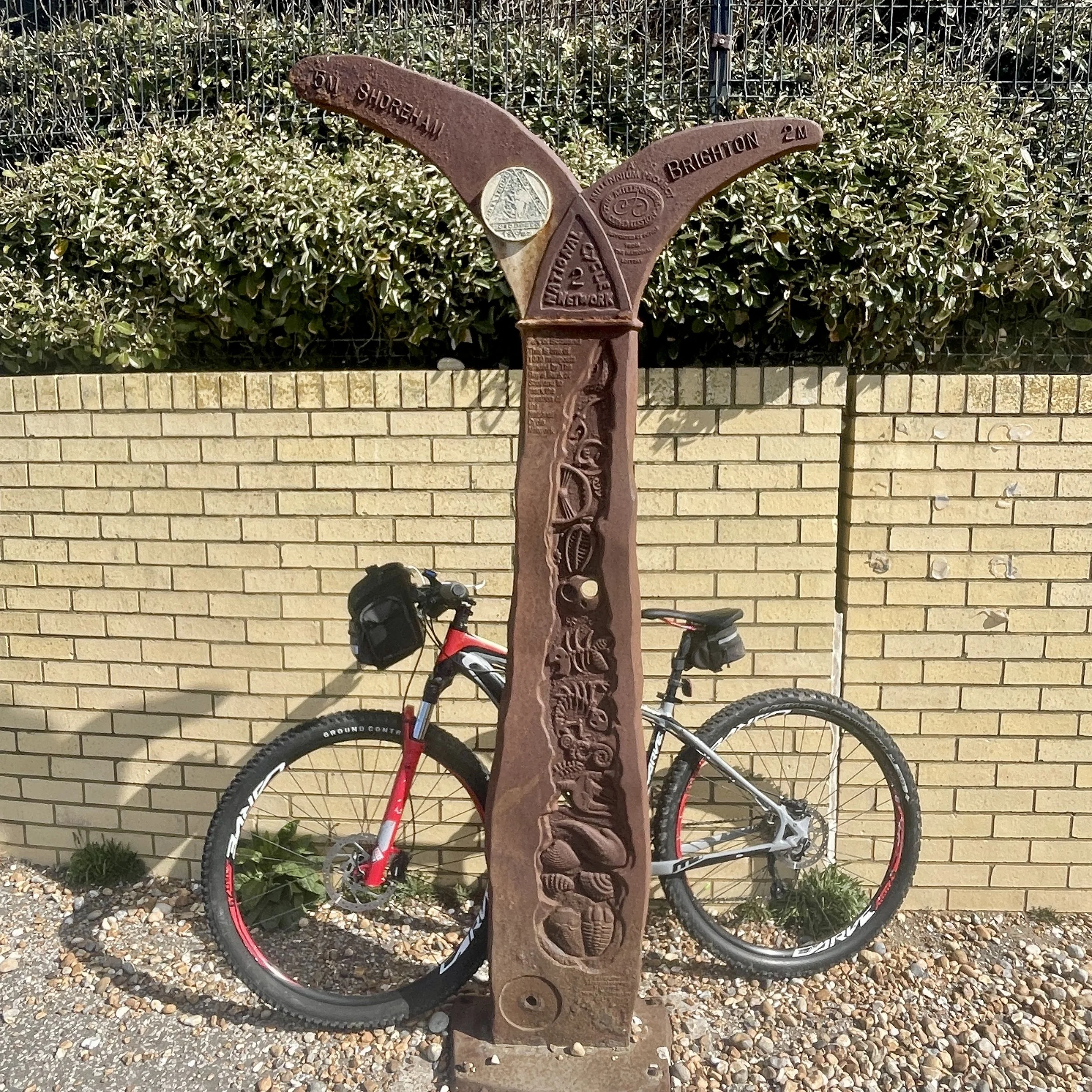
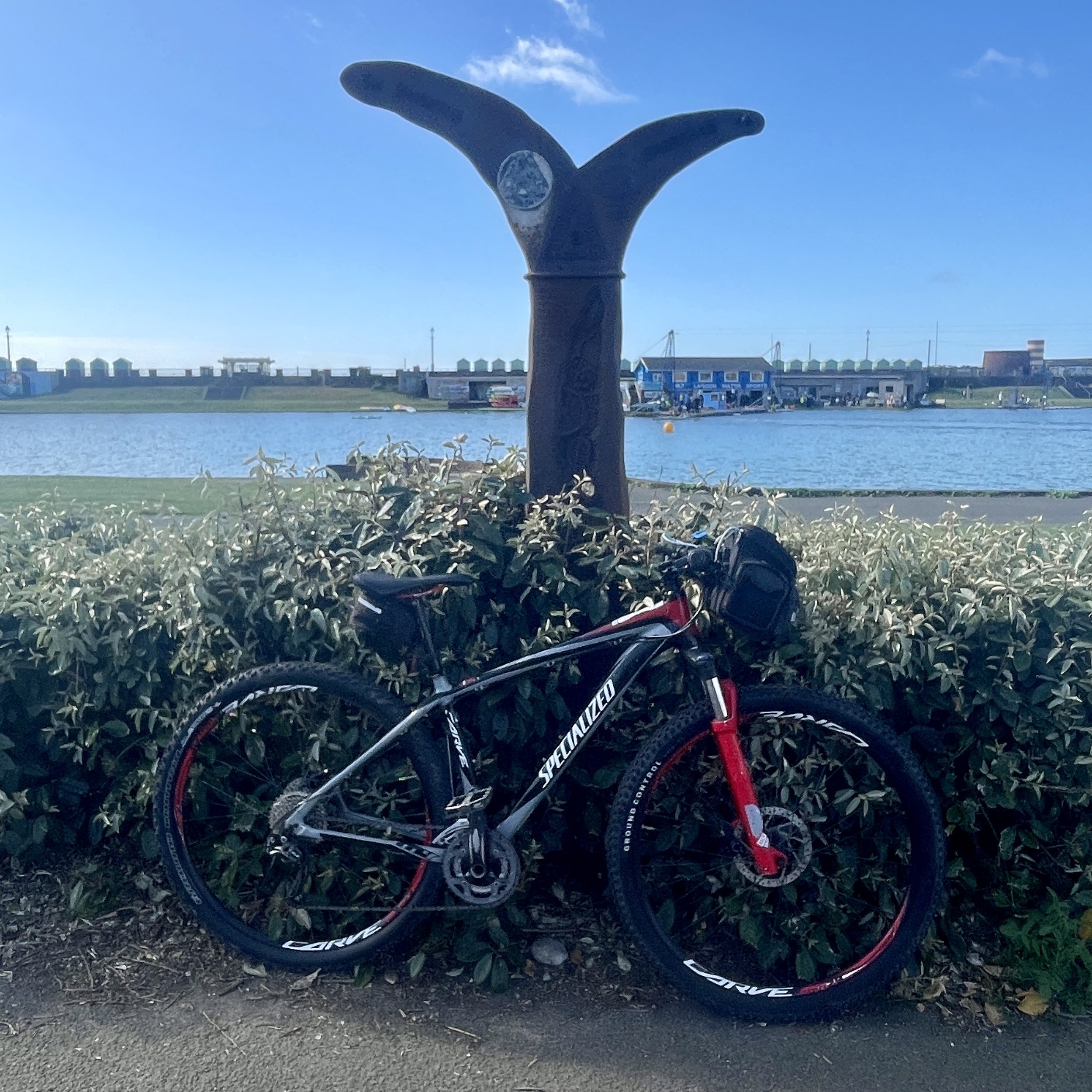
The Millennium Mileposts
Dotting the UK's National Cycle Network are over 1,000 unique markers known as the Millennium Mileposts. Unveiled in 2000, these cast-iron sculptures are more than just waymarkers. Designed by four artists, one from each nation of the UK, they celebrate the diversity of the cycling routes. These artistic mileposts come in various shapes and can be found in both bustling towns and scenic landscapes, adding a touch of artistic charm to a cycling adventure.
Here’s the 3 Mileposts that I spotted on day 1 of the trip. There were none on day 2.
Previous South Coast Cycle trip: Dover to Hastings
Next South Coast Cycle trip: Southampton to Weymouth (coming soon)