Cycling The Isle of Wight
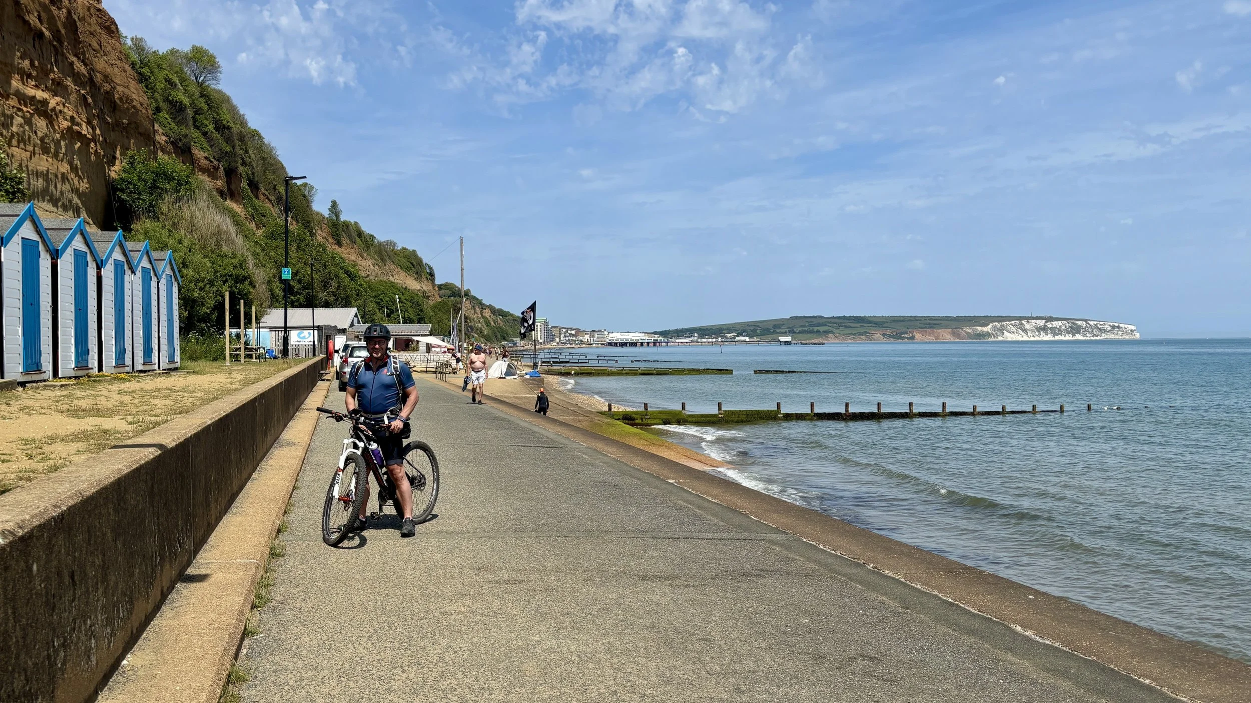
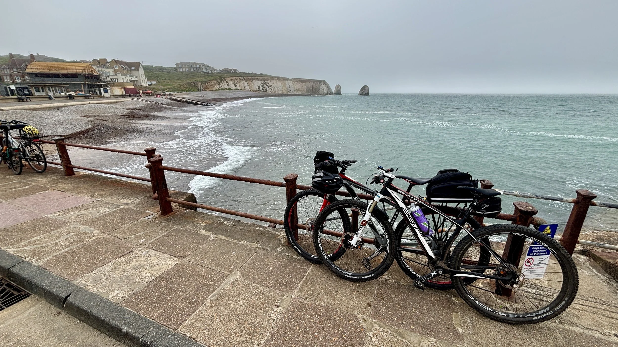
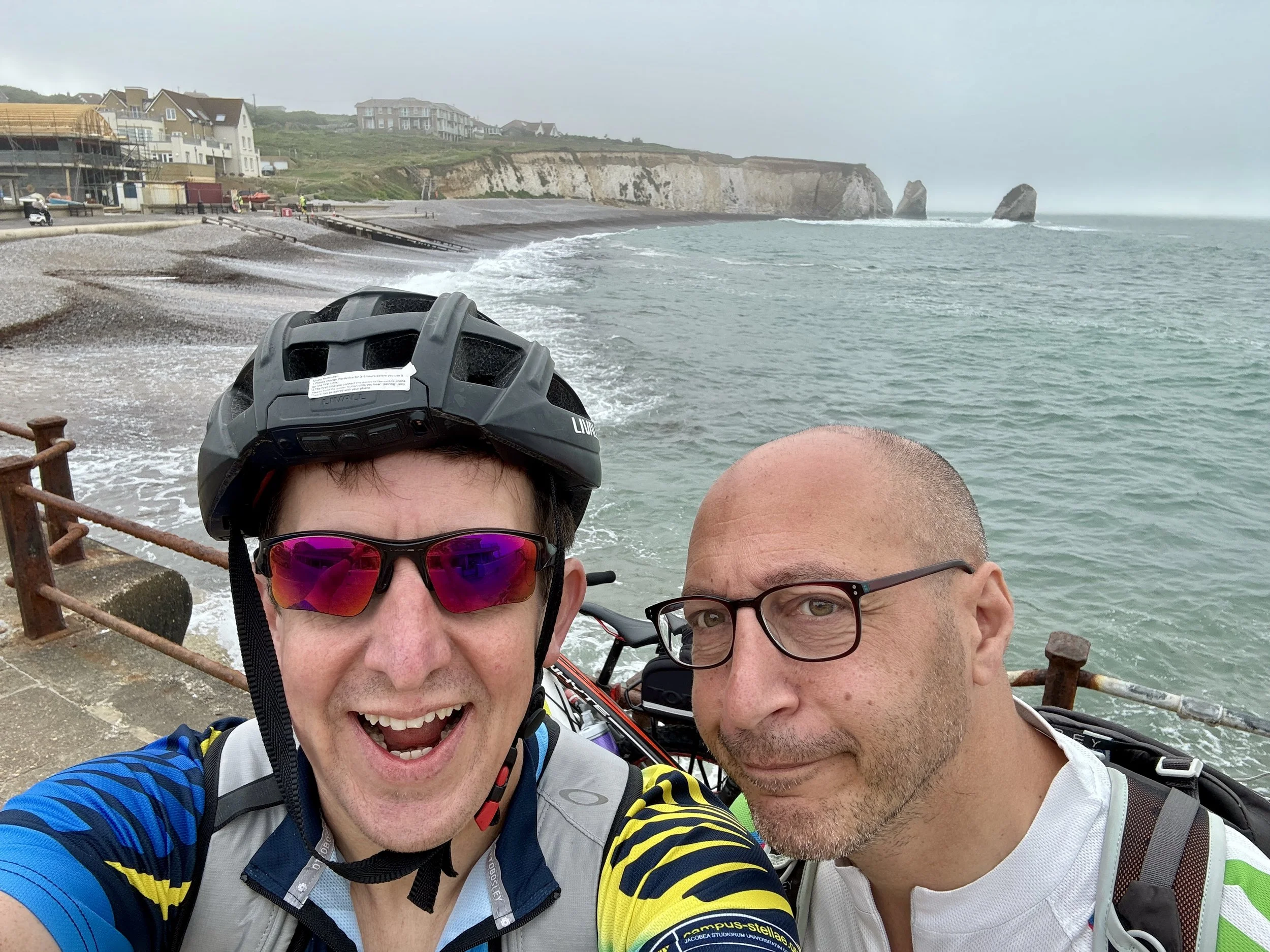
Brian on the promenade between Sandown and Shanklin
The idea for this trip actually sparked on a train ride between Oxford and Banbury. Brian and I were en route to tackle a stretch of National Cycle Route 5, chatting about our ongoing mission to cycle the length of the South Coast. Over the past couple of years, we’ve worked our way clockwise from the Thames Barrier, passing through Margate, Dover, Hastings, and Brighton, before finally reaching Southampton.
Naturally, we assumed the next leg would take us west toward Weymouth. That was until we struck up a conversation with a fellow cyclist in the bike carriage. He recounted a recent coastal route he’d completed around the Isle of Wight, and his enthusiasm was infectious. We quickly realised that before pressing further west along the mainland, we had to conquer the island.
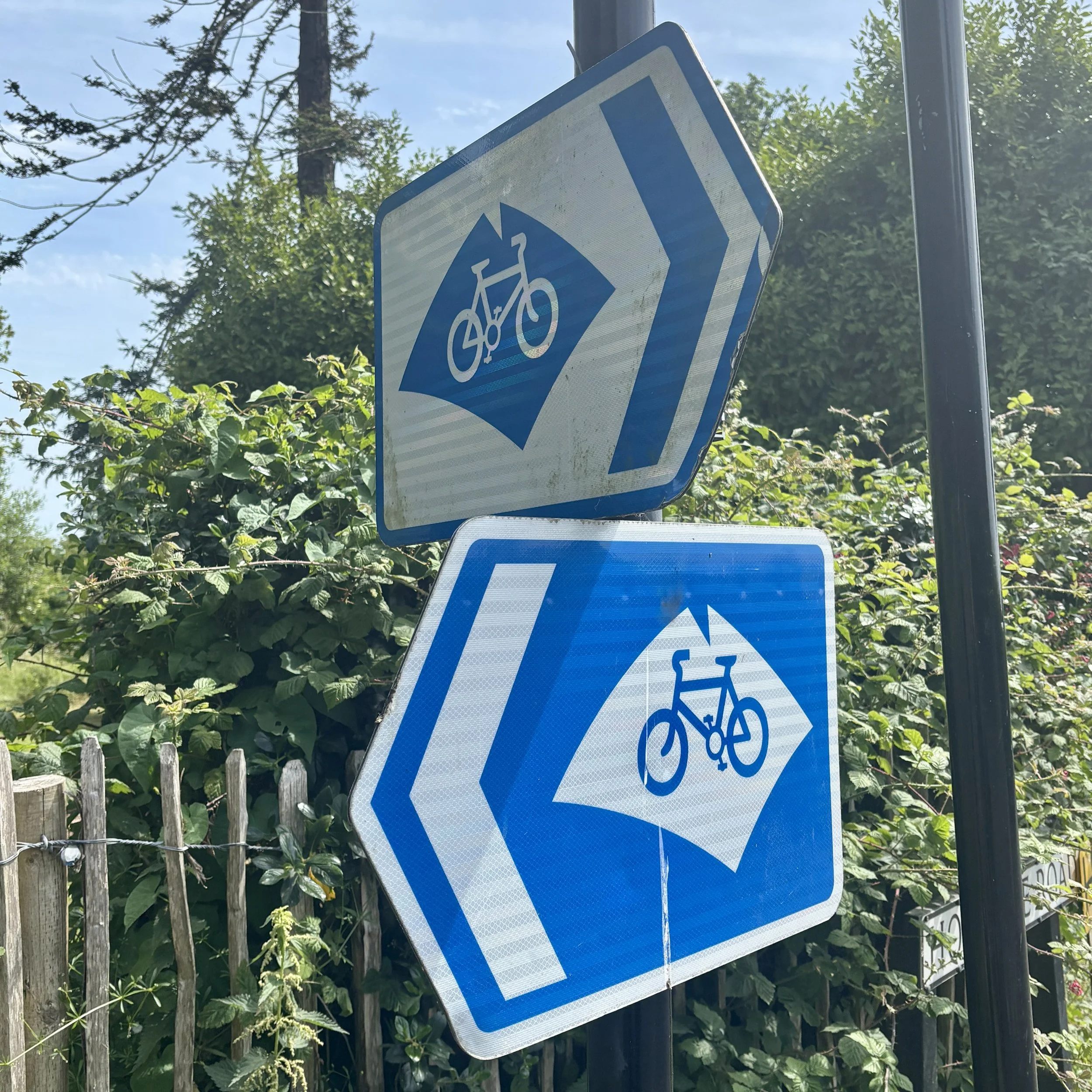
While there is a signposted cycle route around the Isle of Wight, we decided to craft a bespoke itinerary: a mix of disused railways, established cycle routes, and quiet residential lanes hugging the coast as closely as possible.
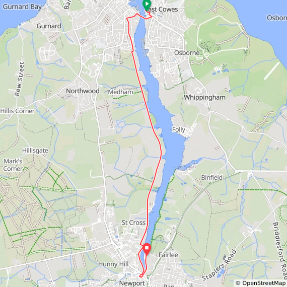
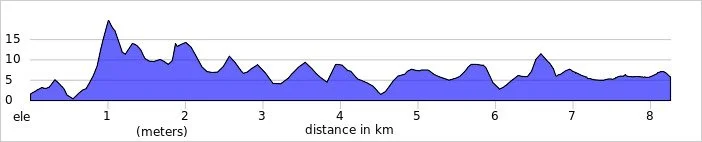
Day 1: Cowes to Newport
Start: East Cowes Ferry Terminal, East Cowes PO32 6RF
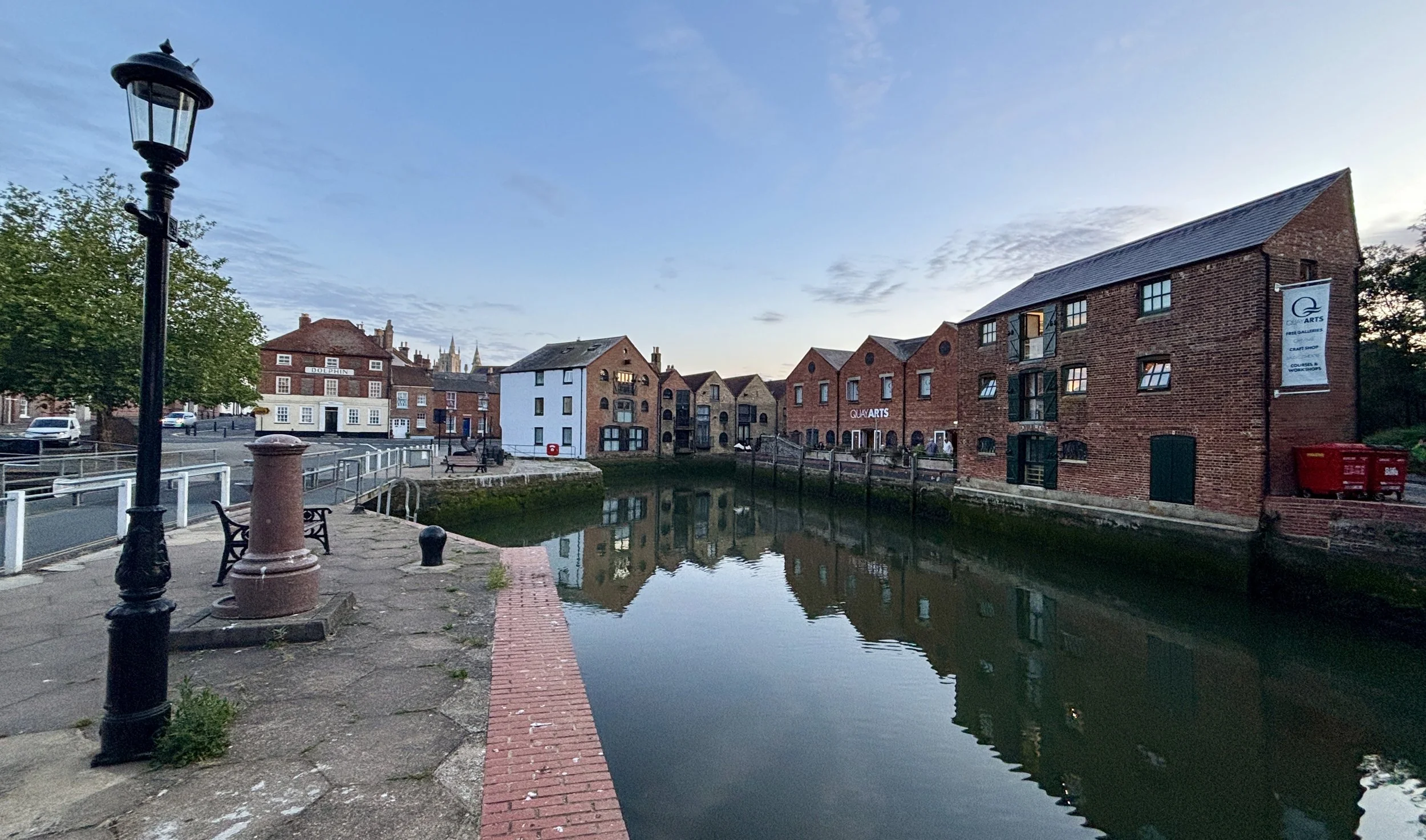
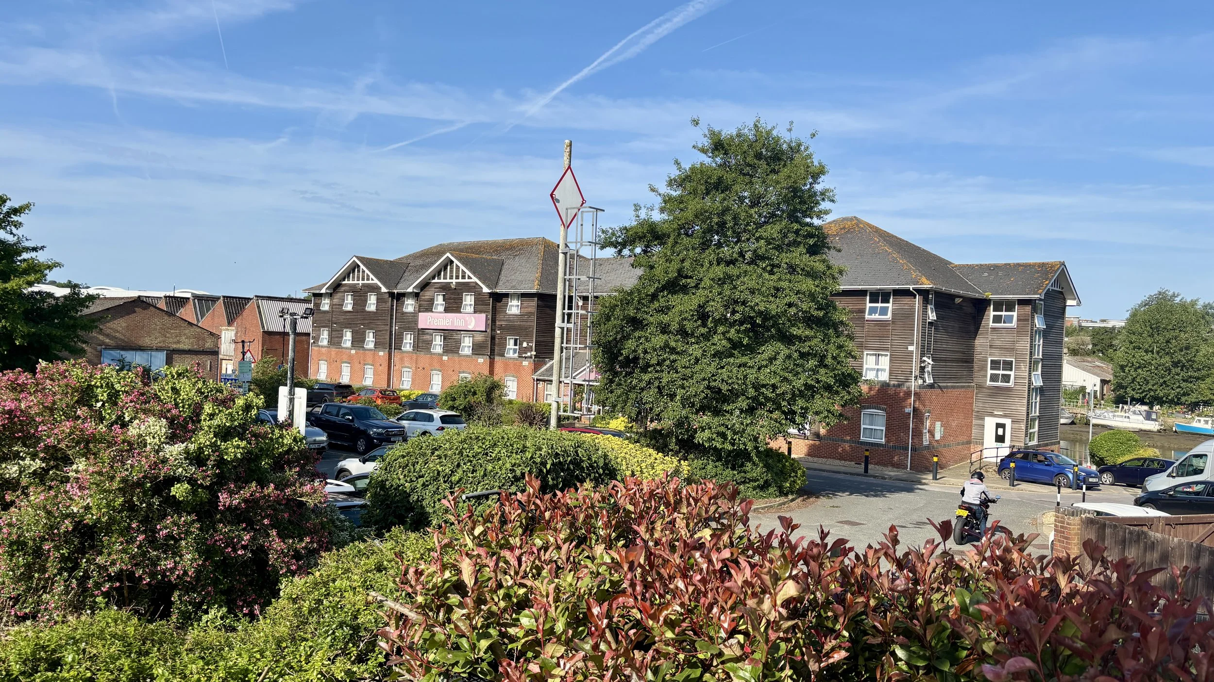
Finish: Premier Inn Isle Of Wight (Newport) hotel, Seaclose, Fairlee Road, Newport, PO30 2DN
Distance: 8.3 km (5.2 miles)
Elevation change: + 59m / -55m (Net +4m)
GPX File: get via Buy Me a Coffee
Other routes touched (walk): Isle of Wight Coastal Path
Other routes touched (cycle): Isle of Wight Round-The-Island Cycle Route (Route 67), Newport to Cowes Cycleway, NCN 22, 23
Map: Isle of Wight Map | Cowes, Newport, Ryde, Sandown, Shanklin, Yarmouth & Ventnor | Ordnance Survey | OS Explorer Map OL29
Links: East Cowes, Cowes Chain Bridge, River Medina, Newport
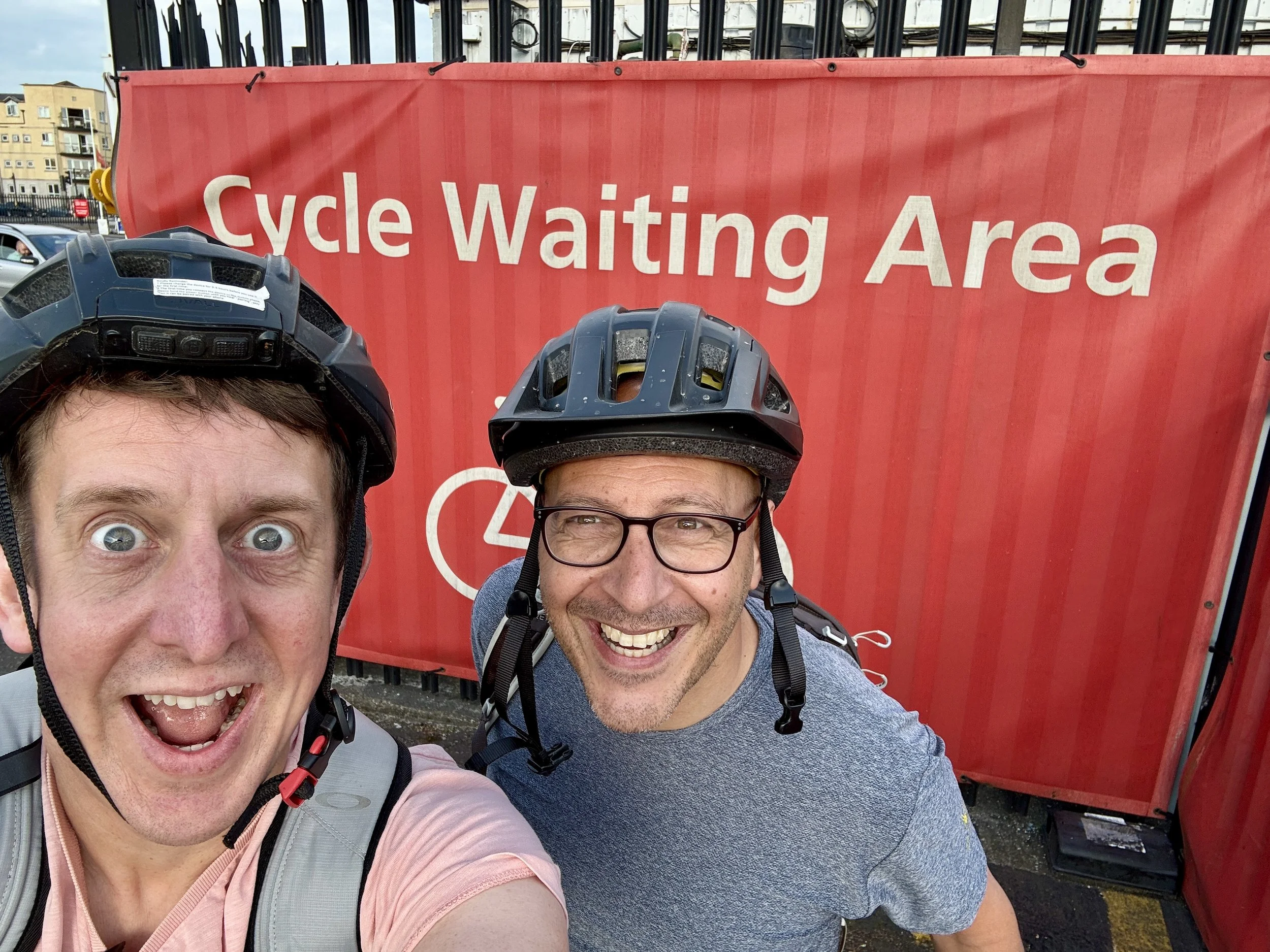
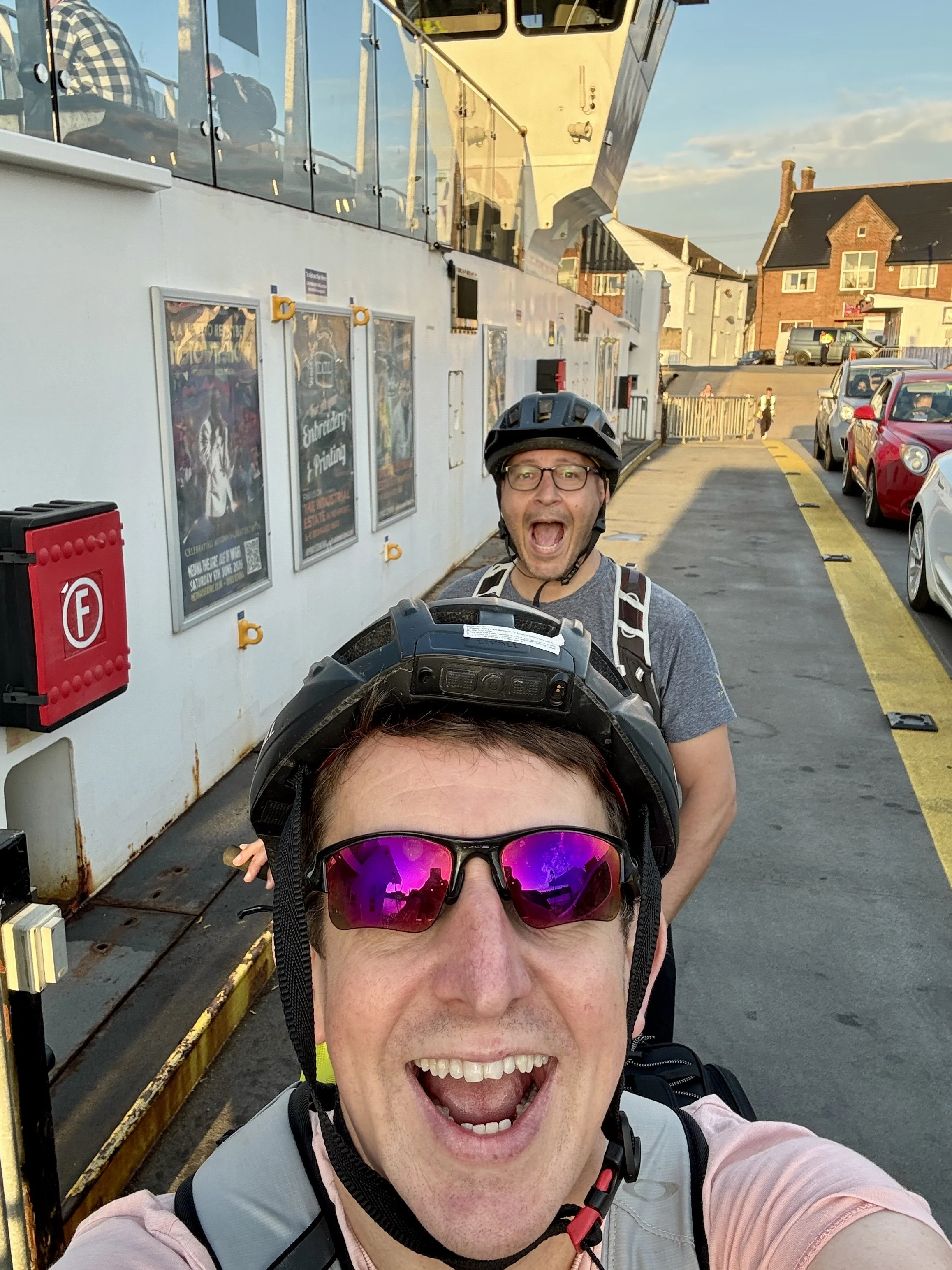
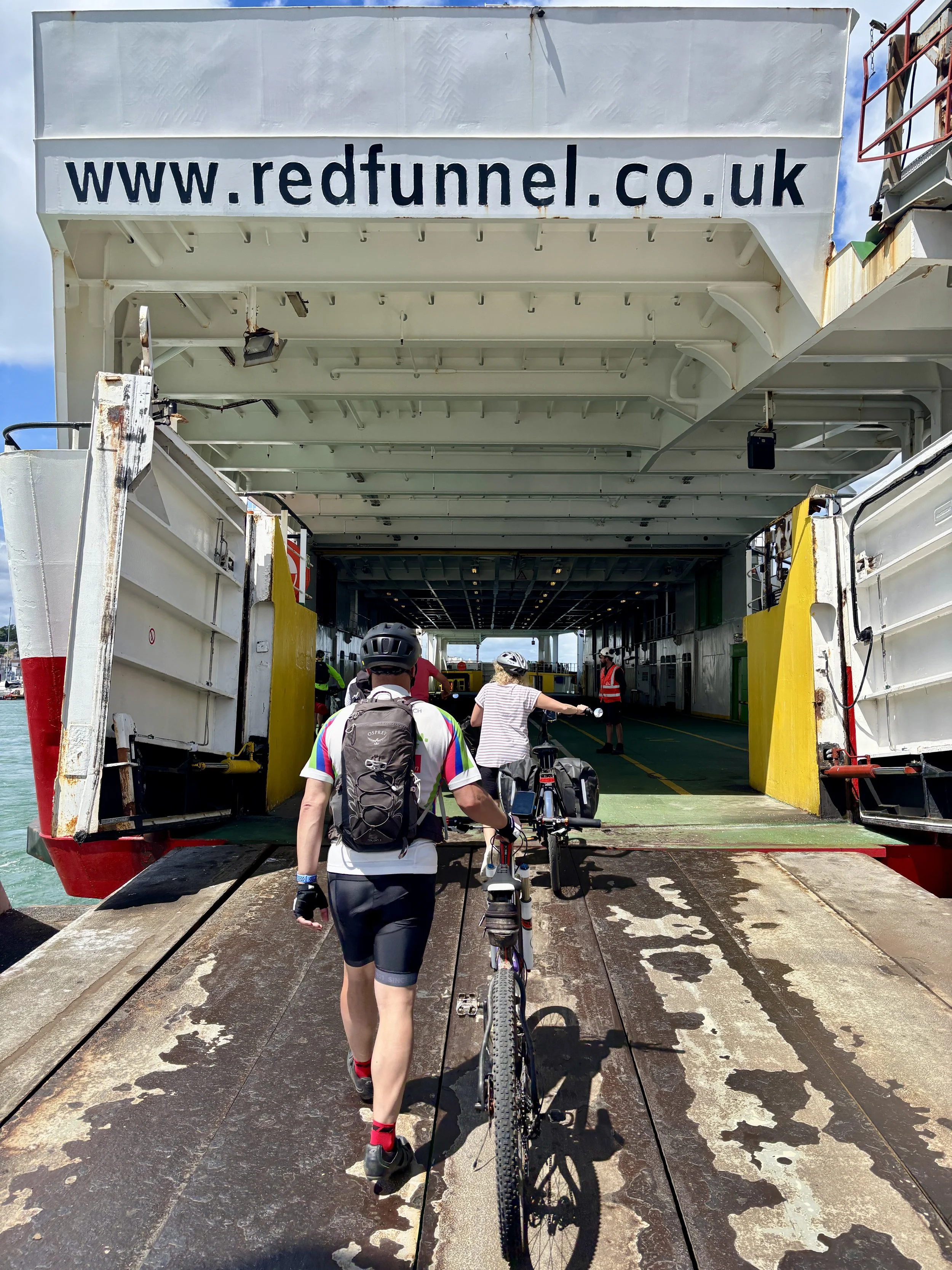
As soon as work finished on Friday, I picked Brian up and we drove south to Southampton. We parked the car right next to the ferry terminal: a great logistical move, as rolling our bikes onto the Red Funnel ferry as foot passengers was incredibly easy.
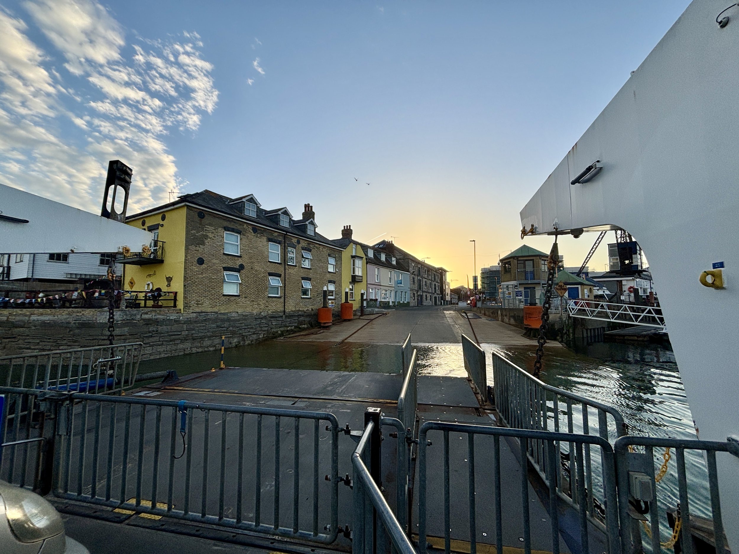
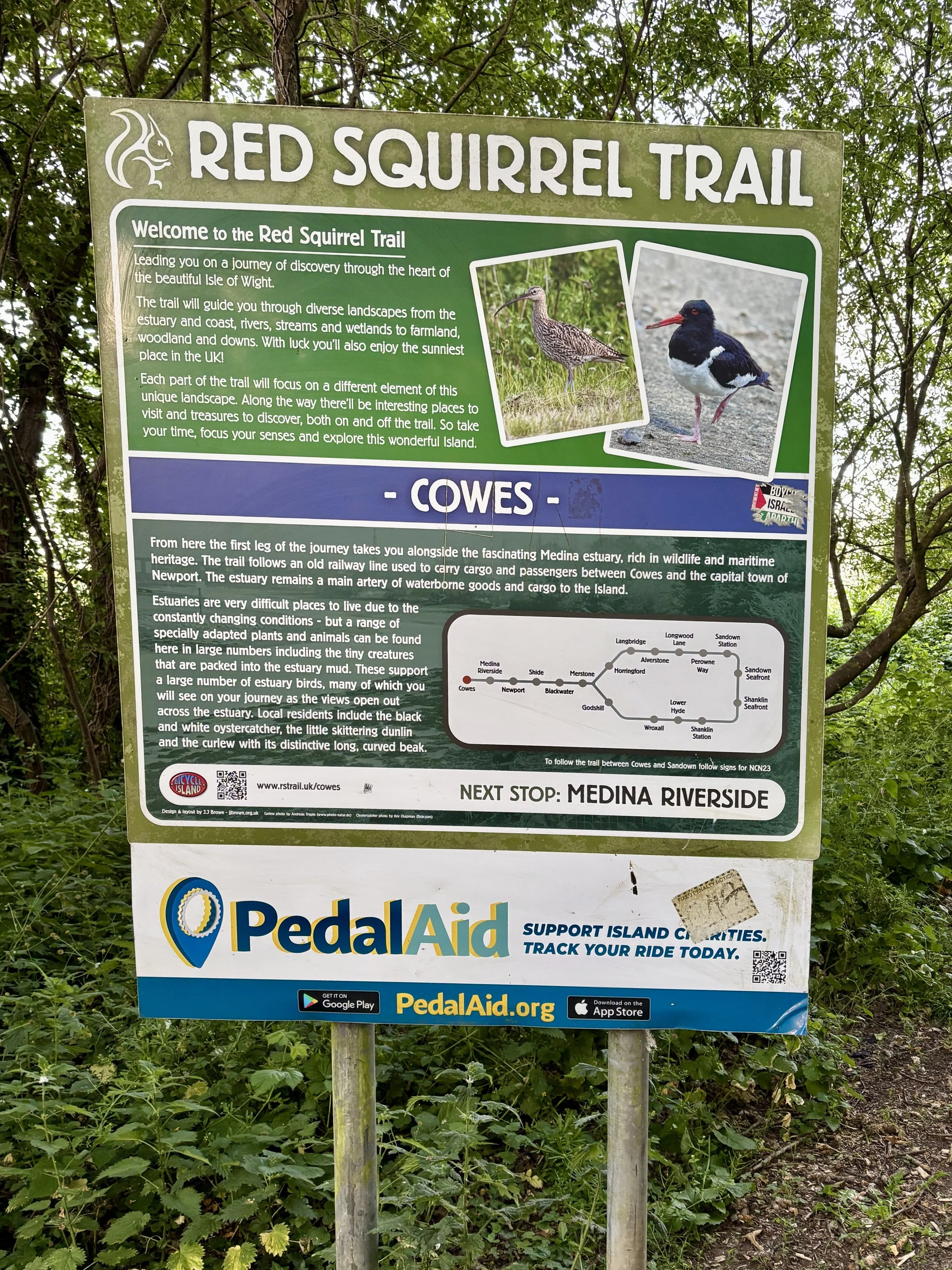
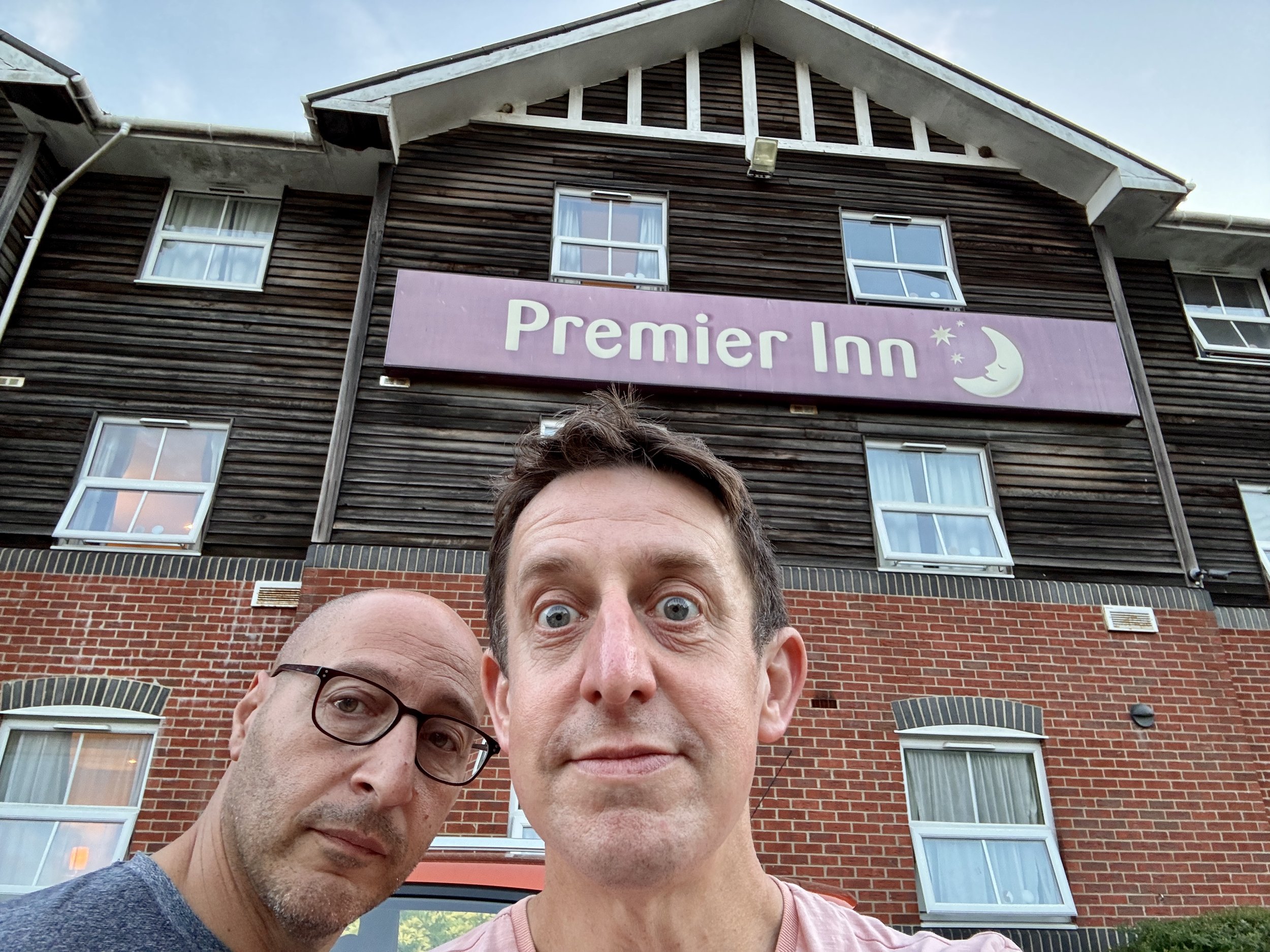
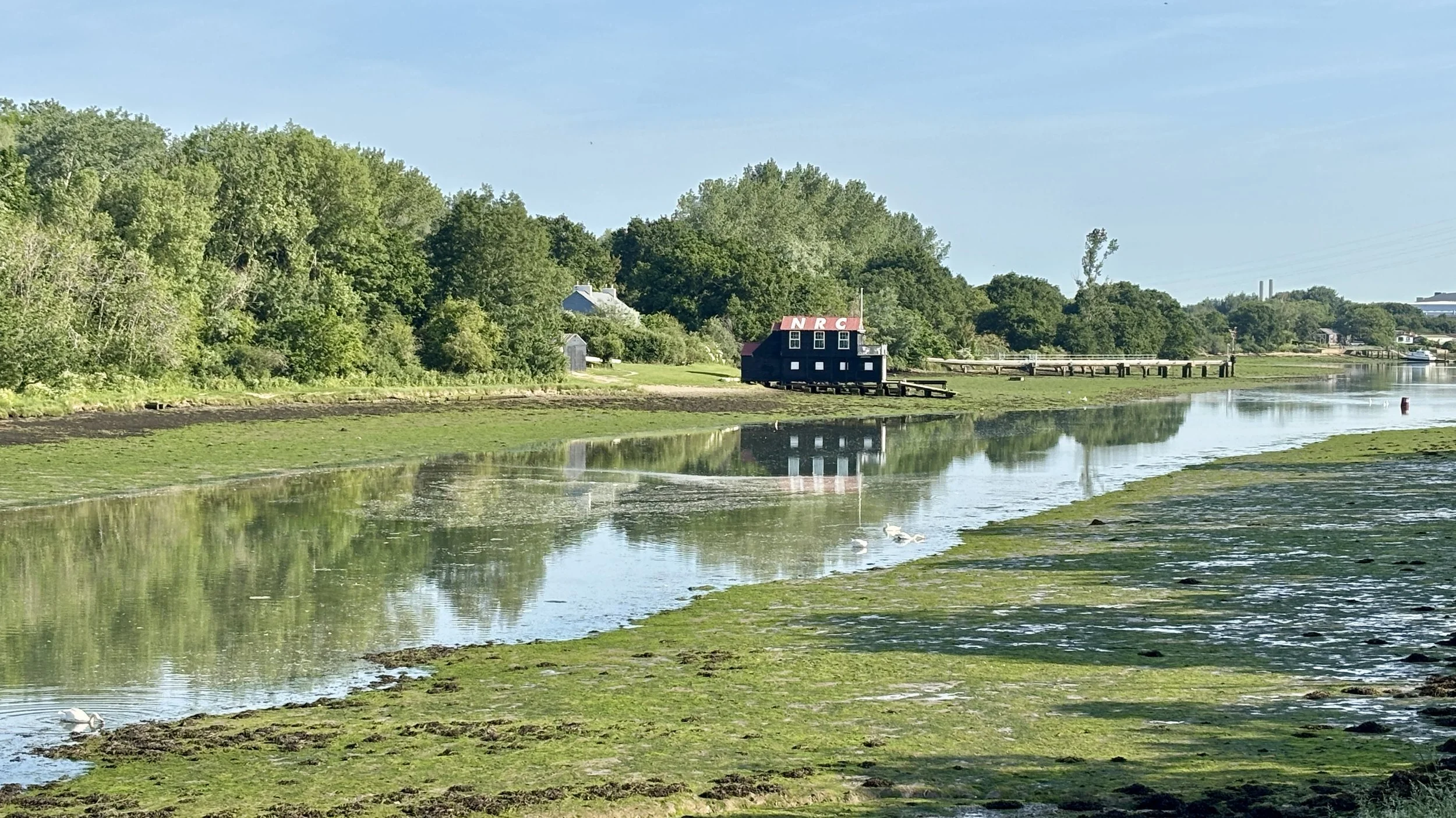
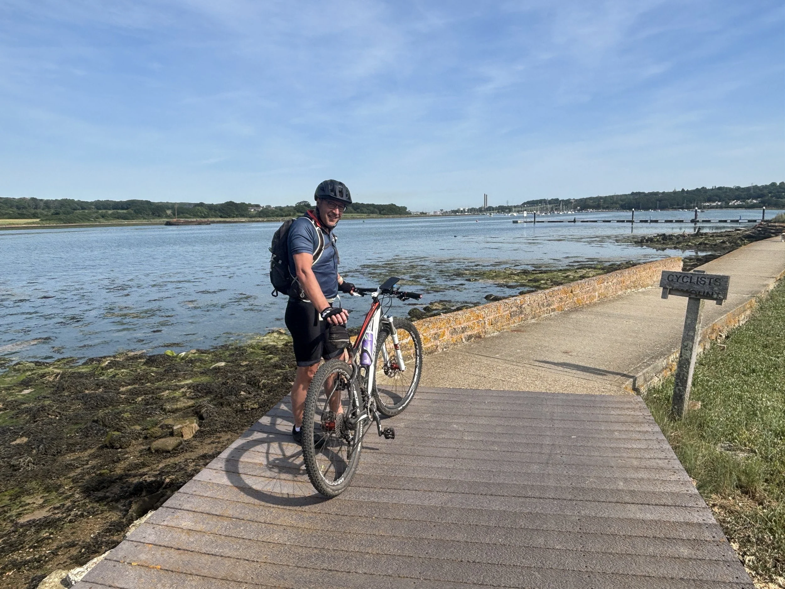
We arrived at East Cowes around 8:00 PM, hopped on the chain ferry across the River Medina, and picked up the Red Squirrel Trail. This mostly flat, slightly downhill route follows a disused railway line and made for a very pleasant 8 km evening cruise into Newport. We checked into the Premier Inn, which is brilliantly cycle-friendly, allowing us to store our bikes safely in the room.
Then came the unexpected challenge of the evening: finding dinner. Newport on a Friday night was surprisingly quiet. The receptionist’s glowing recommendation for a local Thai restaurant proved fruitless as it had already shut by 8:30 PM. An Indian restaurant down the road was also closed. In the end, we only managed to find one open restaurant to fuel up for the weekend.
Day 2: Newport to Chale (The Eastern Half)
Start: Premier Inn Isle Of Wight (Newport) hotel, Seaclose, Fairlee Road, Newport, PO30 2DN
Finish: Wight Mouse Inn, Church Place, Chale, Ventnor, PO38 2HA
Distance: 52.5 km (33 miles)
Elevation change: + 762m / -683m (Net +79m)
GPX File: get via Buy Me a Coffee
Other routes touched (walk): Isle of Wight Coastal Path, The Bembridge Trail, The Culver Trail, Worsley Trail, Tip of the Wight, Yar River Trail,
Other routes touched (cycle): Isle of Wight Round-The-Island Cycle Route (Route 67), NCN 22, 23
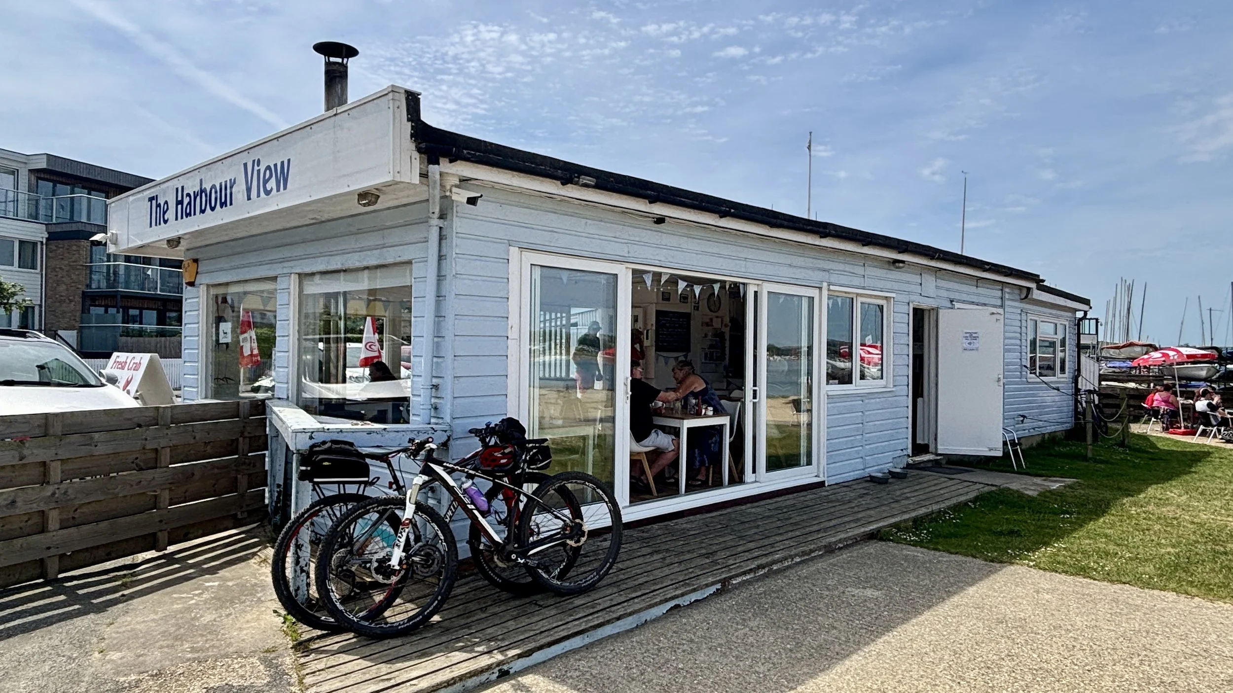
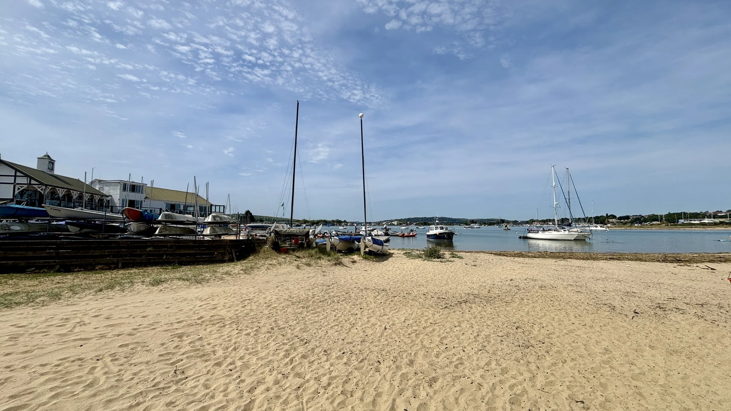
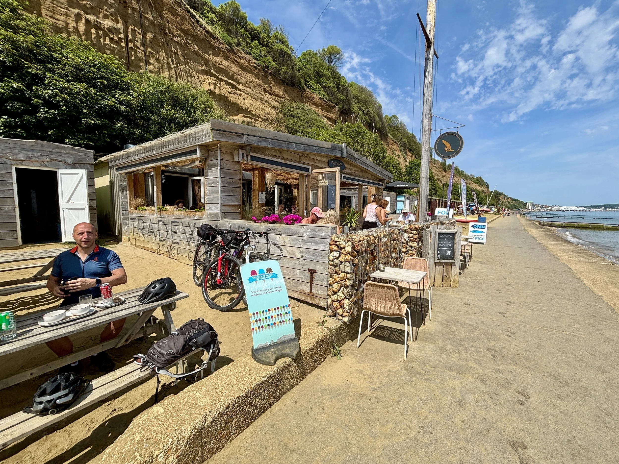
Pubs / Cafes on route: Loads but we stopped at Chocolate Apothecary Ryde (13km in), The Harbour View Cafe Bembridge (23km in), Tradewinds Beach Cafe Shanklin (33km in), Crave Ice-cream Ventnor (41km in), The Wight Mouse Inn Chale at the end.
Map: Isle of Wight Map | Cowes, Newport, Ryde, Sandown, Shanklin, Yarmouth & Ventnor | Ordnance Survey | OS Explorer Map OL29
Links: Newport, Ryde, Bembridge, Sandown, Shanklin, Ventnor, Chale
My Saturday started with a slight hiccup. The logistics for this trip had been carefully planned around my goal of ticking off the island's only parkrun. The Medina I.O.W parkrun is usually held just north of Newport, right next to our hotel. I arrived at the venue bright and early at 8:15 AM, only to find an oddly quiet field and a few other equally confused runners in their parkrun gear.
We eventually found a sign near the leisure centre explaining that the event had been relocated to Appley Park in Ryde for the rest of the summer due to the Isle of Wight Festival setup. The frustration was real: the new location in Ryde was directly on our planned cycle route! Had I known the night before, we could have set off at 7:30 AM, cycled to Ryde, and I could have still run it.
Top Tip for Medina, IoW parkrun: The official event page doesn't always reflect sudden venue changes. Always check their Facebook page before you travel to avoid missing out.
With the parkrun plan foiled, I headed back, met up with Brian, and we hit the road.
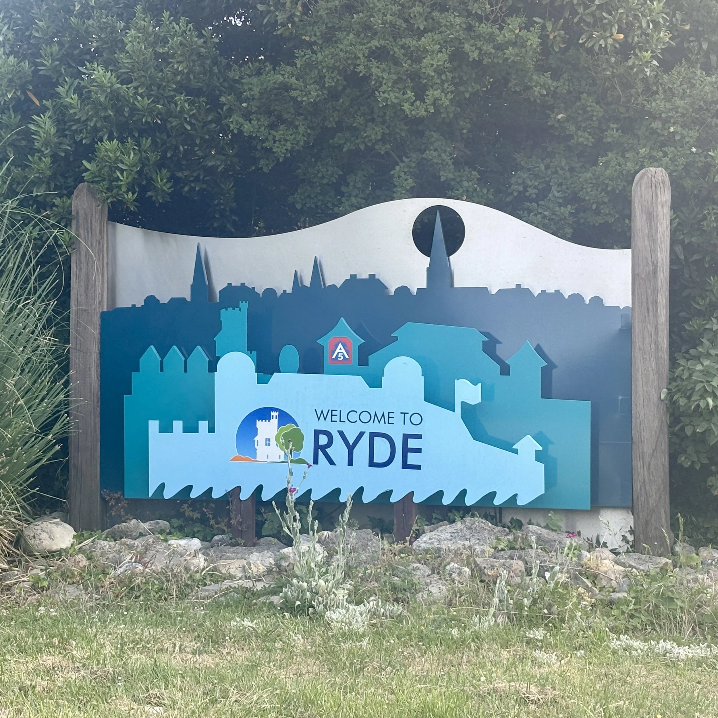
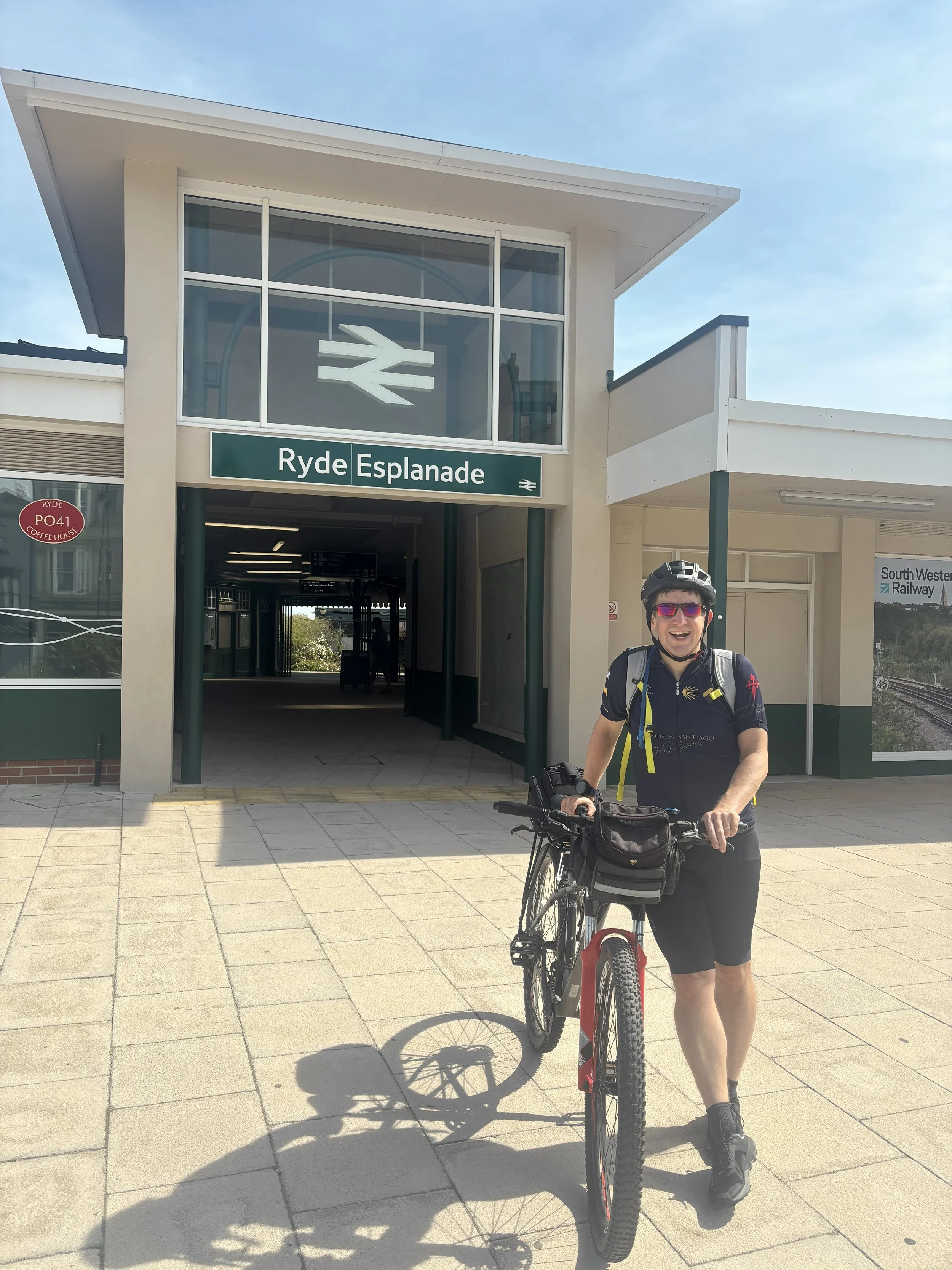
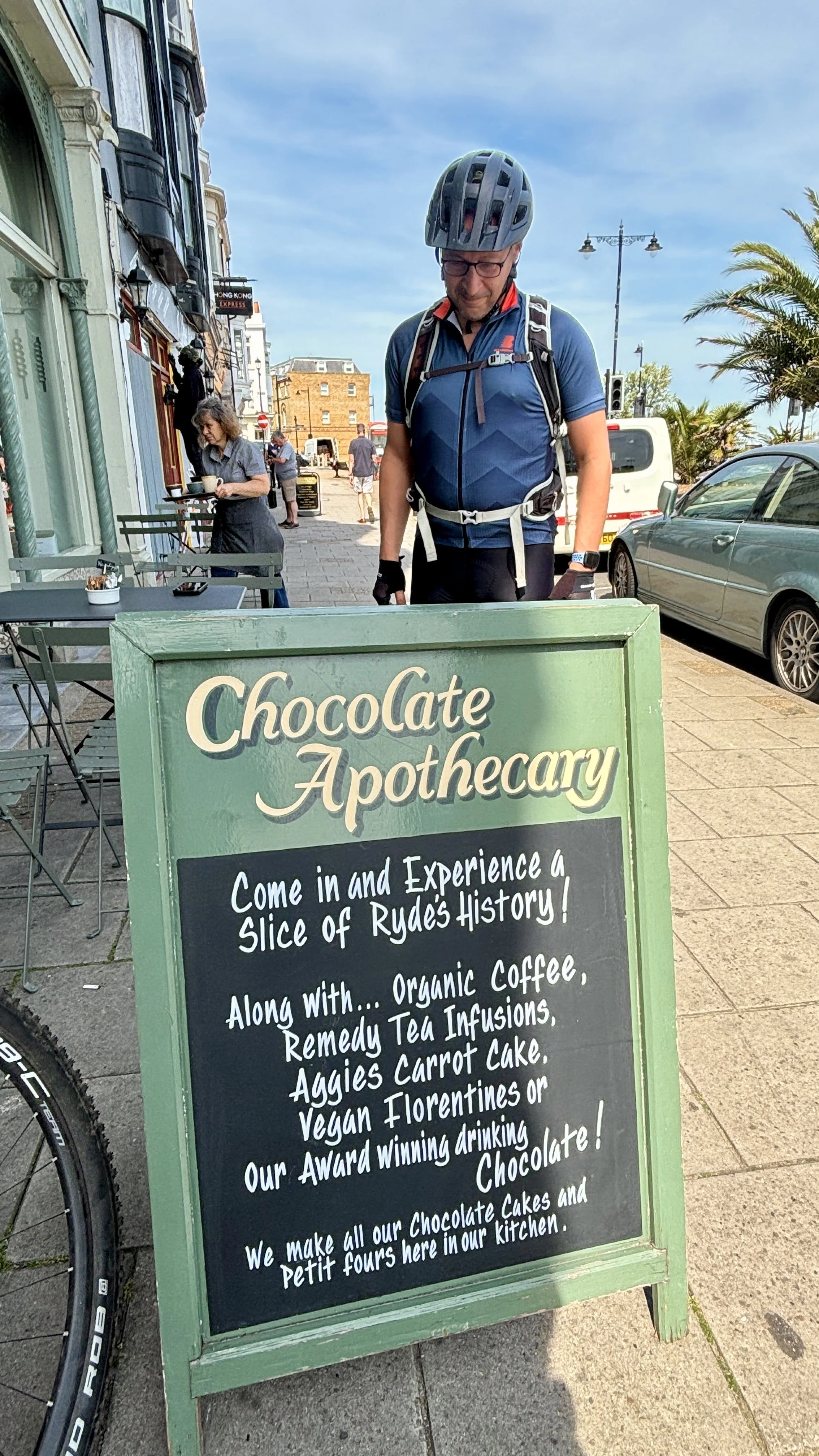
We picked up National Cycle Route 22, taking a few diversions until we reached Ryde. Our first proper stop was the Chocolate Apothecary, located just opposite the railway station at the bottom of Ryde Pier. They make a fantastic coffee, but the real star is their carrot cake: easily one of the best I’ve ever had.
Fuelled by cake, we carried on past Appley Park (cue another pang of parkrun regret) and cycled straight through the site of Puckpool Battery. This impressive site is a 19th-century Palmerston Fort, completed in 1865. It was built in response to the perceived threat of a French naval invasion and originally housed heavy 13-inch mortars designed to fire vertically onto the vulnerable, unarmoured decks of enemy warships. Today, it's a peaceful public park, but the massive concrete and earth gun emplacements are still incredibly striking to cycle past.
We navigated a sharp turn south at Nettlestone Point, stopping for another coffee at the Bembridge Cafe with lovely views over the harbour. Continuing south through Sandown, we pulled into Shanklin for lunch at Tradewinds Beach Cafe, a nice spot overlooking the promenade and the sea.
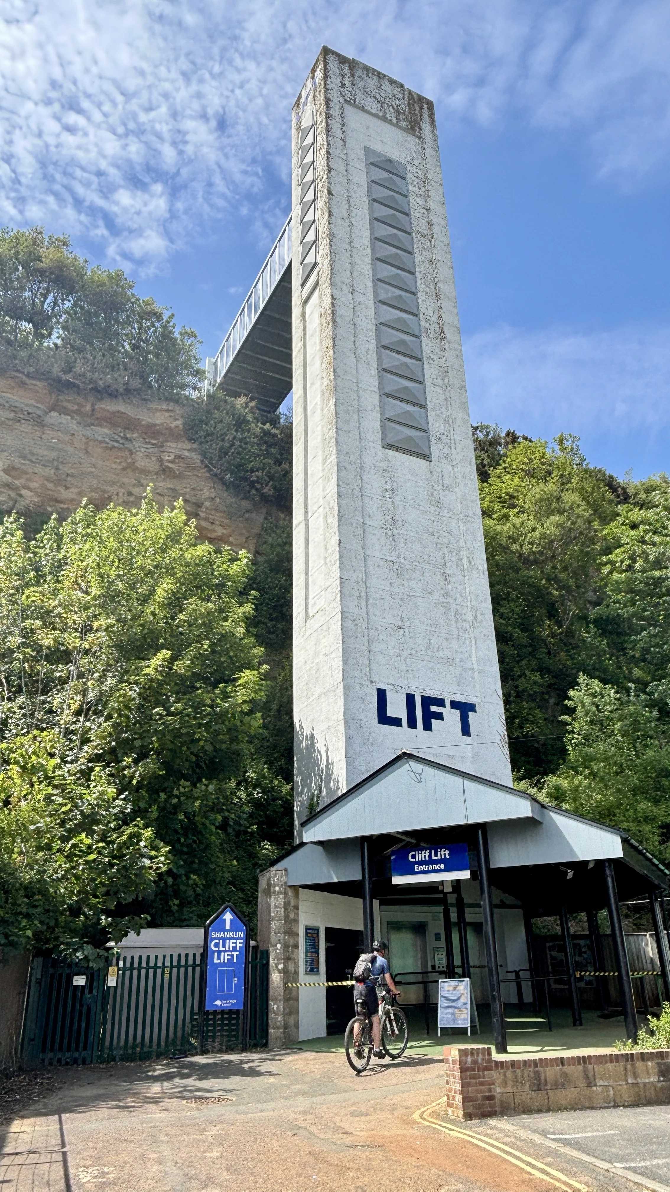
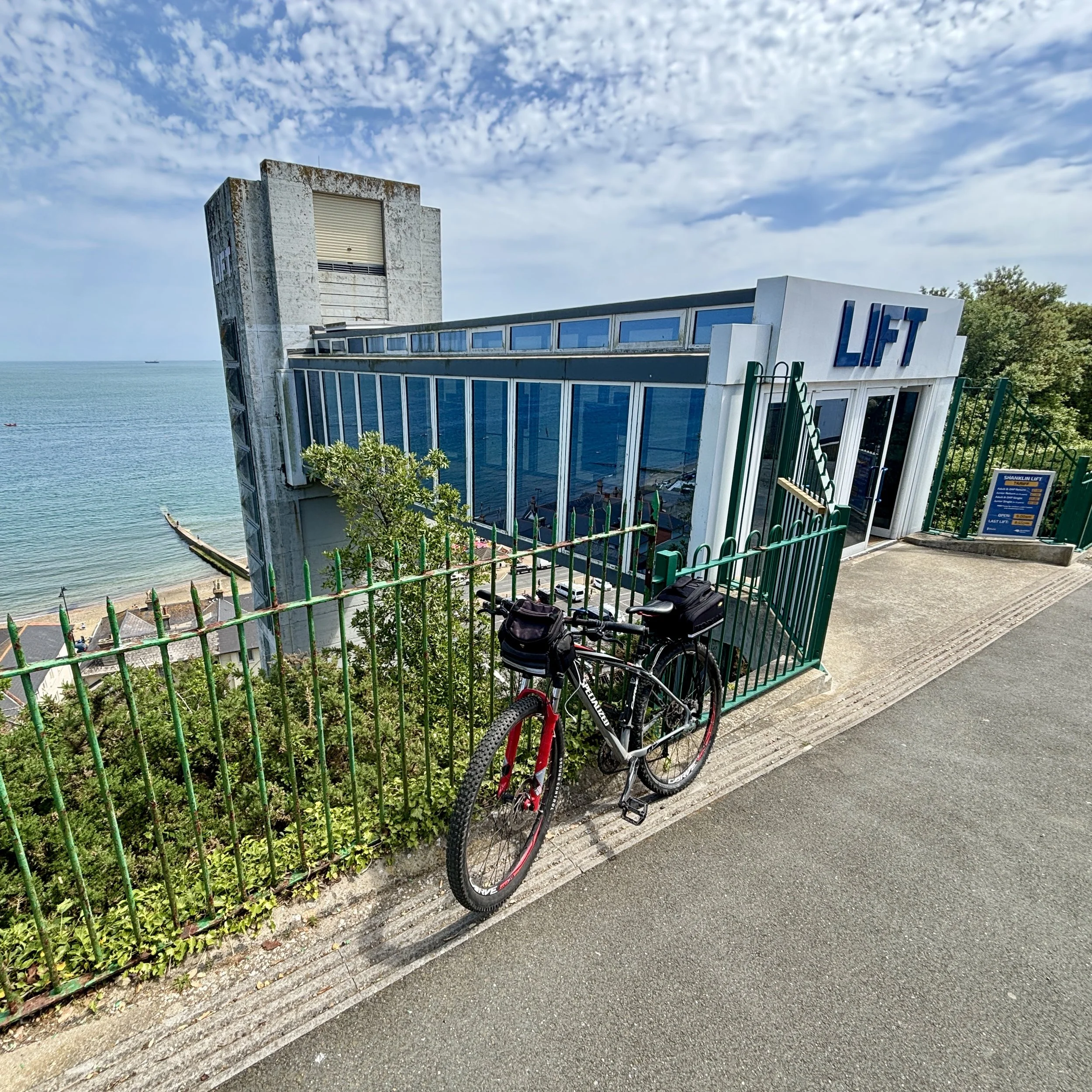
After lunch, instead of immediately tackling the ascent from the promenade, we decided to take the old Shanklin Cliff Lift to the top of the hill. The original lift was built in 1892 to help tourists bypass the steep climb between the beach and the town above, eventually becoming a famous and much-loved local landmark. We had a brief conversation about whether it was "cheating" to not cycle up the hill, but we quickly decided that it was perfectly fine. Given the history and quirkiness of the lift, taking it felt like a vital part of the Isle of Wight experience!
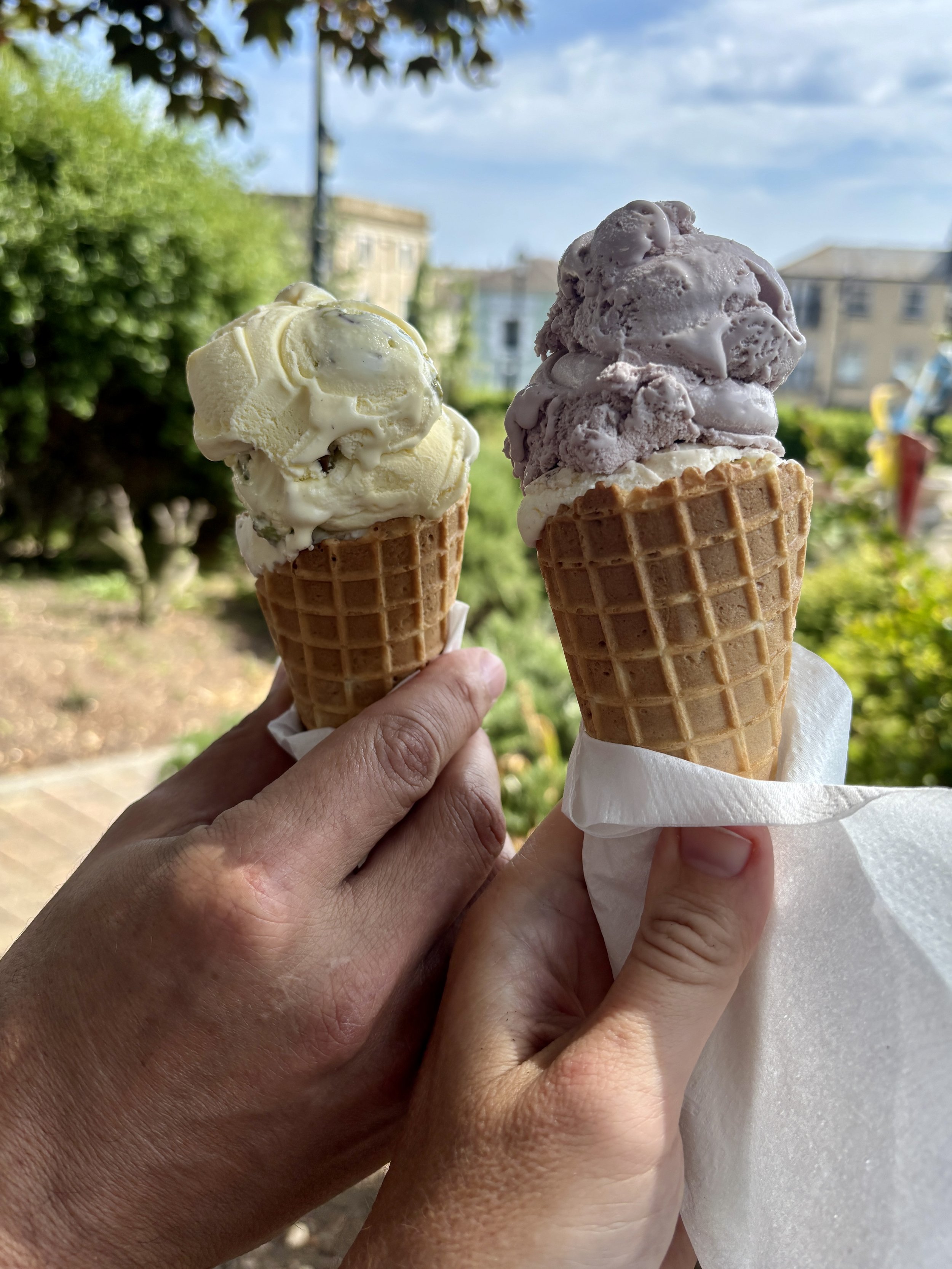
From the top, the real work began with the first of two major climbs. We ground our way up a steep hill behind Luccombe, rewarded with stunning views to the east, before tackling a sharp descent into Bonchurch. Rolling into Ventnor shortly after, we decided a sweet treat was in order. We stopped for ice creams at Crave and took a well-earned rest in the park just opposite. Suitably refreshed, we stayed off the main cycle routes, opting instead for small, quiet residential lanes right beside the sea. We soon hit Steep Hill: an aptly named, lung-busting ascent that eventually led us up to the highest point of our weekend near Blackgang.
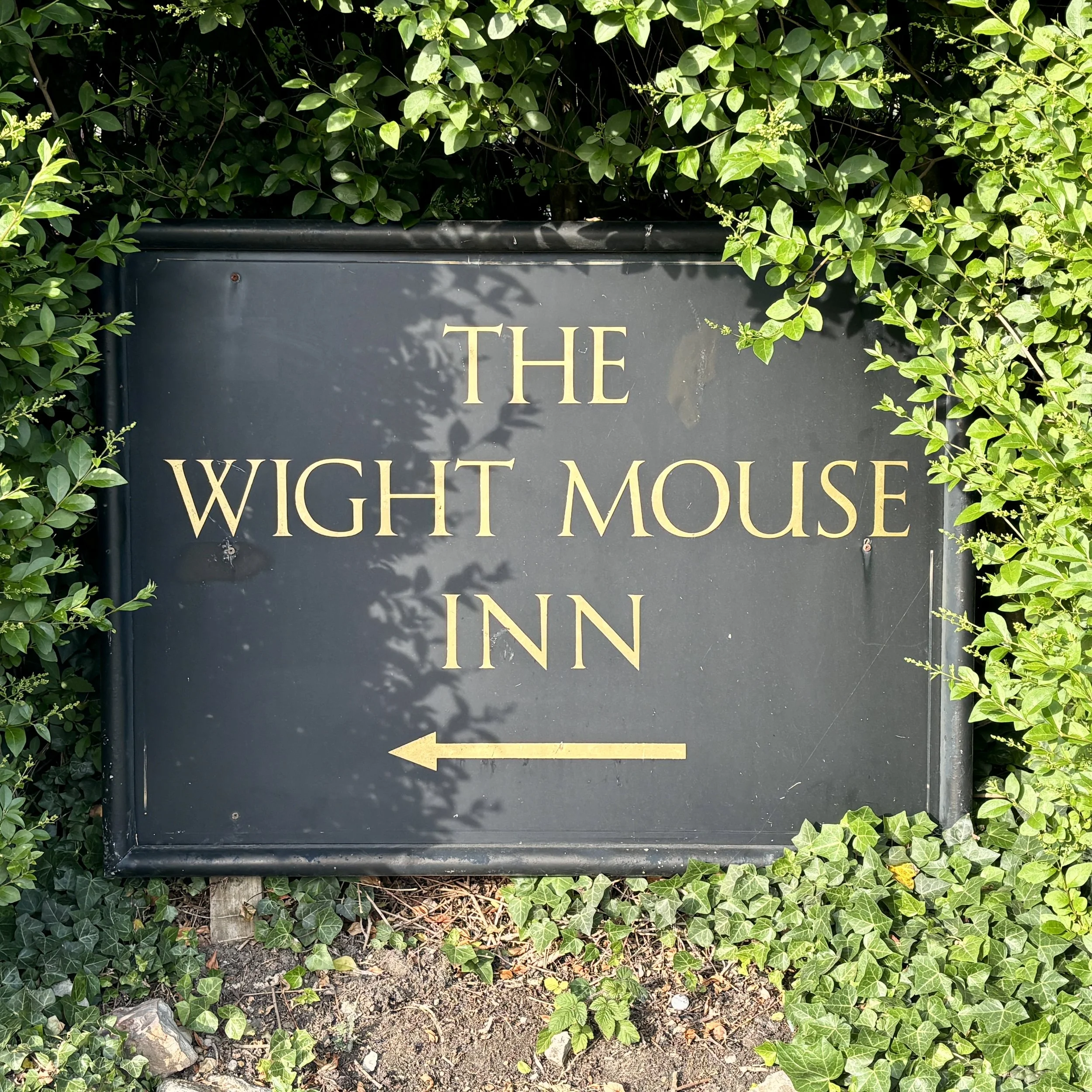
We coasted down into the small village of Chale and checked into The Wight Mouse Inn, a fantastic pub with great rooms that sits roughly halfway around the coastal route.
After dinner, I highly recommend the 4.5 km circular walk from The Wight Mouse up to St. Catherine's Oratory. Also known as the "Pepperpot," it is the only surviving medieval lighthouse in Britain, built as a penance for plundered shipwrecked wine! I’ve written a separate post detailing this walk and the history of the Oratory, which you can read here.
Day 3: Chale to Cowes (The Western Half)
Start: Wight Mouse Inn, Church Place, Chale, Ventnor, PO38 2HA
Finish: East Cowes Ferry Terminal, East Cowes, PO32 6RF
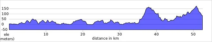
Distance: 53 km (33 miles)
Elevation change: +492m / -574m (Net -82m)
GPX File: get via Buy Me a Coffee
Other routes touched (walk): Isle of Wight Coastal Path, Shepherds Trail, Family Trail Mottistone, Hamstead Trail, Perimeter Route Mottistone, Compton Trail, Freshwater Way, Tennyson Trail, Tennyson Down Trail, Estuary Newtown Walk
Other routes touched (cycle): Isle of Wight Round-The-Island Cycle Route (Route 67), NCN 23
Pubs / Cafes on route: Loads but we stopped at The Rock Restaurant Freshwater Bay (17 km in), The Sportsman’s Rest Porchfield (42 km in)
Map: Isle of Wight Map | Cowes, Newport, Ryde, Sandown, Shanklin, Yarmouth & Ventnor | Ordnance Survey | OS Explorer Map OL29
Links: Chale, Military Road, Freshwater Bay, Totland, Yarmouth, Newbridge, Newtown, Porchfield, Cowes
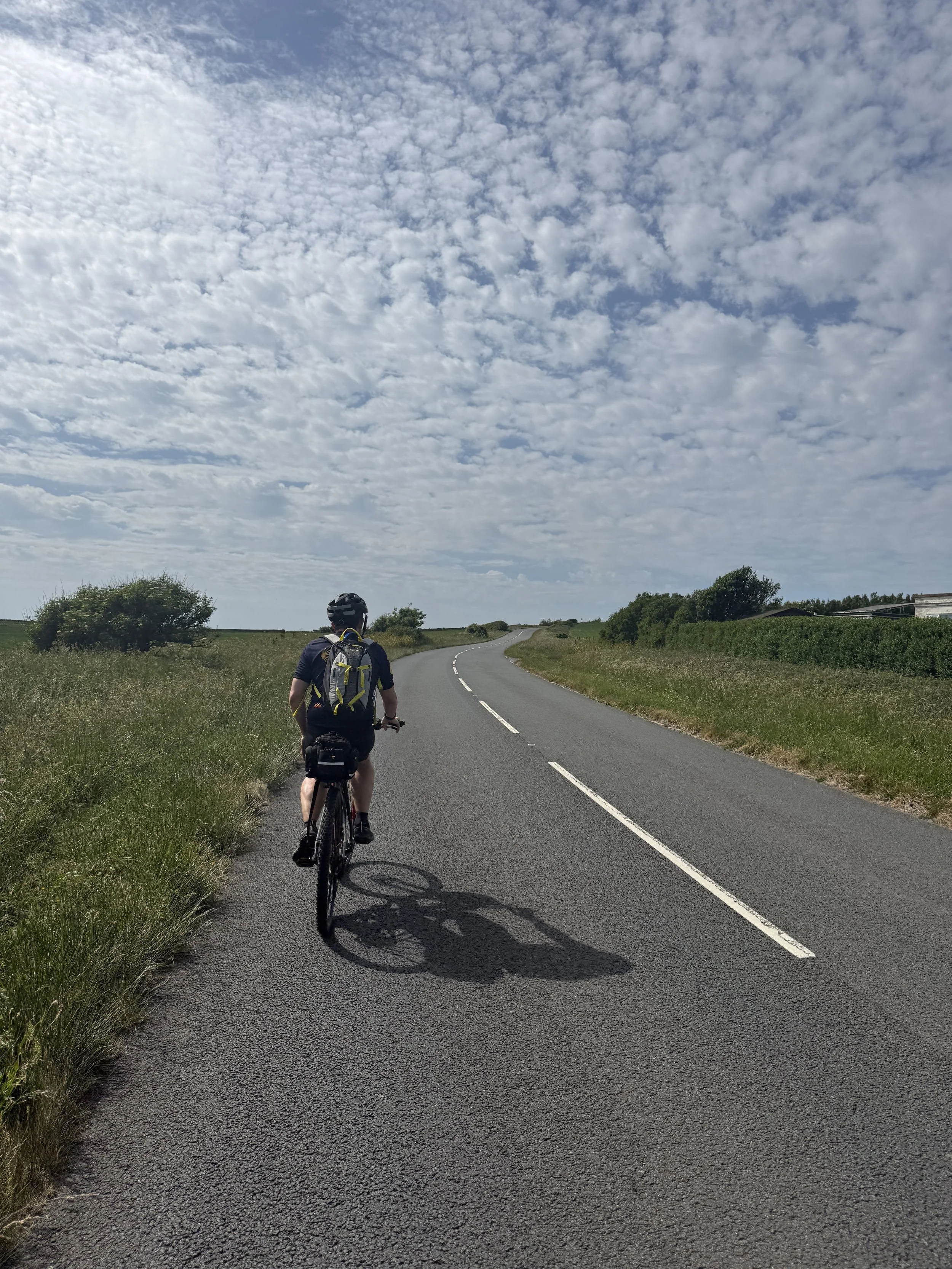
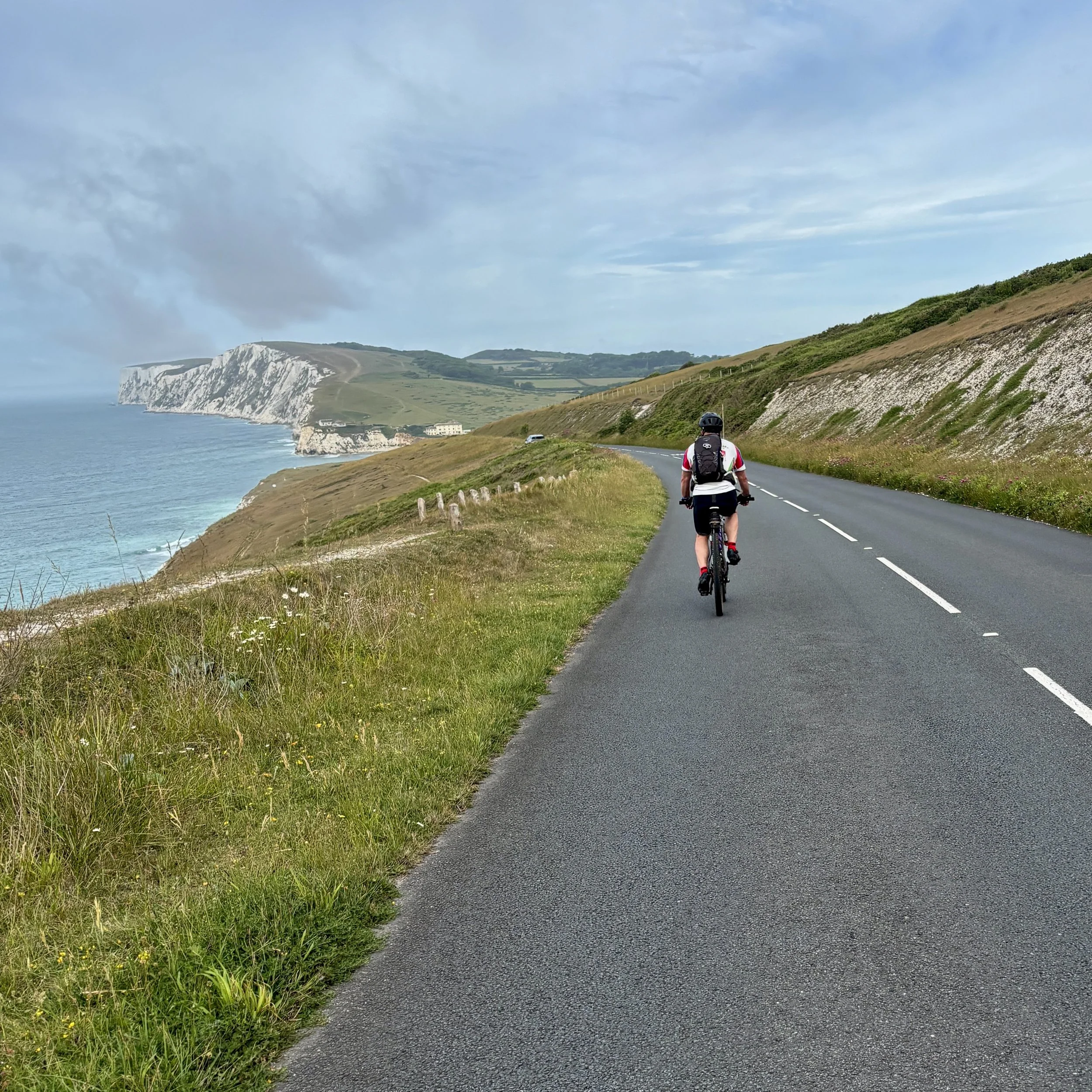
Eager to make the most of the day, we skipped the hotel breakfast and hit the road at 7:30 AM. Heading northwest along the old Nottage Road, we soon joined the famous Military Road (A3055). This iconic, sweeping coastal stretch was originally built in the 1860s as part of the island's Palmerston defences, allowing troops to deploy quickly along the coast to repel potential French invasions. It remained a private, gated military route until it was purchased and upgraded for public use in the 1930s.
Cycling along this historic road today, we enjoyed a gentle downhill stretch beside the dramatic, eroding cliffs before tackling a sharp climb right before Freshwater Bay. A short descent dropped us into the bay, where we pulled up to The Rock Restaurant inside the Albion Hotel. With 17 km already under our belts, their incredible breakfast overlooking the ocean was exactly what we needed.
Properly fuelled, we pushed on toward the south-westerly corner of the island, taking a sharp turn onto the B3322 near Alum Bay. We opted not to go all the way to the Needles on this trip as we had both seen them before, but it is an absolute must-do detour for anyone riding this route for the first time.
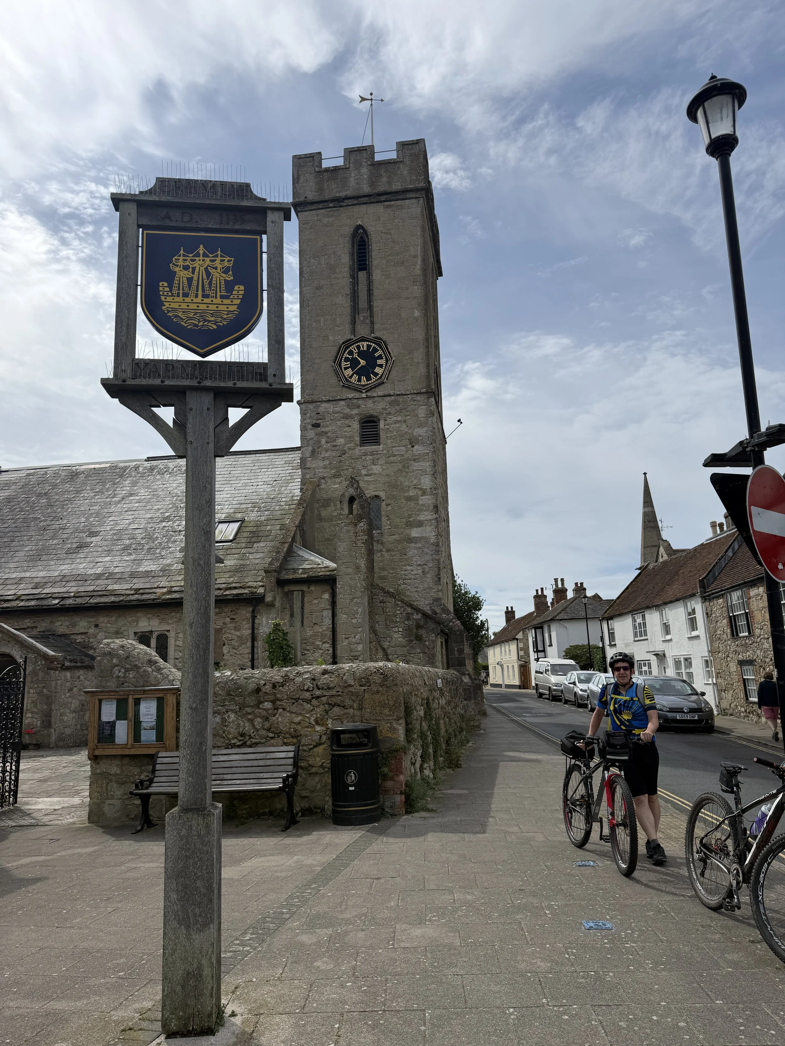
Our route then took us northeast through Totland, Norton Green, and Yarmouth. A major highlight of the afternoon was passing through Newtown. It is hard to believe today, but this quiet, picturesque hamlet was actually the bustling capital and primary commercial centre of the Isle of Wight in the 14th century, until a French raid in 1377 led to its decline. We paused to admire the Old Town Hall, a beautiful 17th-century brick building now managed by the National Trust, which stands as the only real evidence of the town's former political importance.
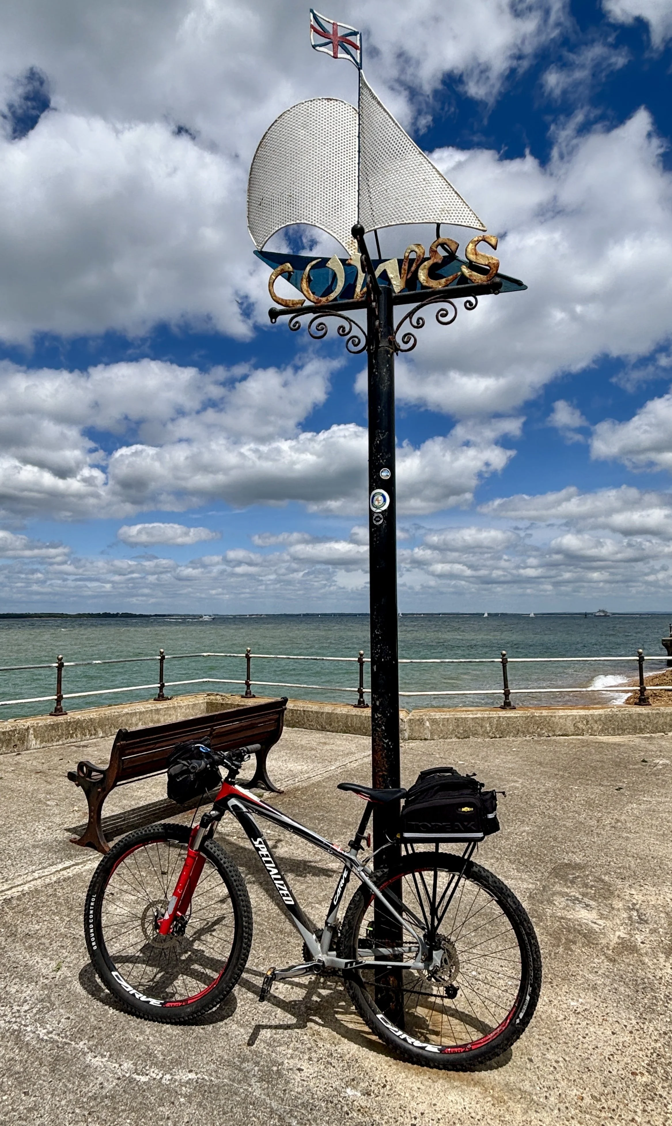
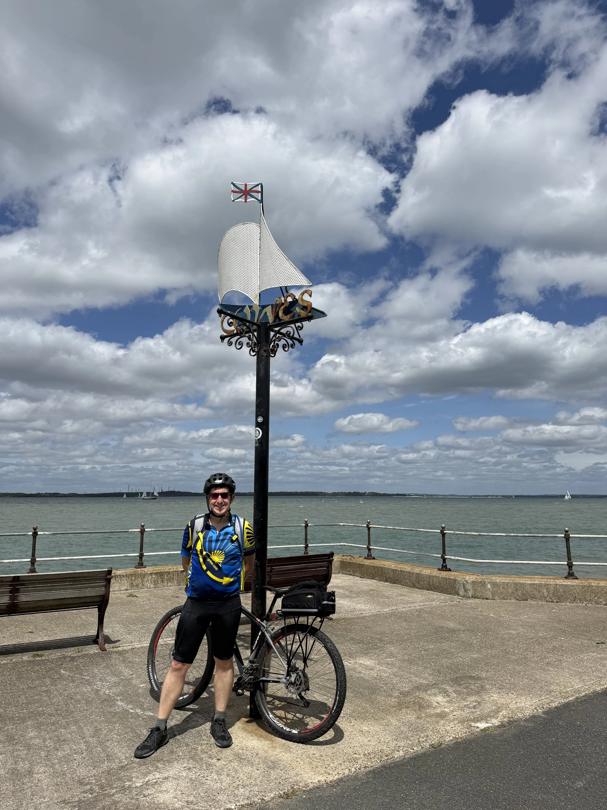
We made our final pitstop for the weekend at the Sportsman's Rest pub in Porchfield before tackling the final stretch through Rue Street and Gurnard. We rolled back into Cowes, crossed the chain ferry, and arrived at the Red Funnel terminal by 1:00 PM. Thanks to our early start, we easily hopped on an earlier ferry back to Southampton.
It was a brilliantly successful weekend of bespoke route finding, challenging climbs, and deep local history. The parkrun disappointment just gives me a solid excuse to return and explore even more of the island. For now, the Isle of Wight is officially ticked off the list.
Next up for the South Coast Cycle Adventure: Southampton to Weymouth.
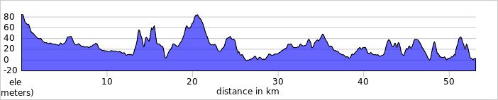
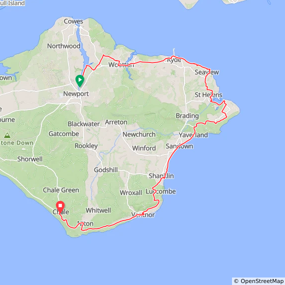
The Full Route
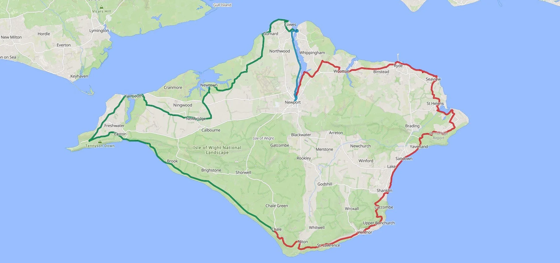
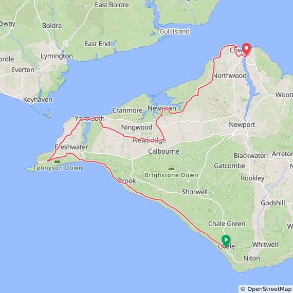
Day 1 in blue, day 2 in red, day 3 in green
Previous South Coast Cycle trip: Brighton to Southampton
Next South Coast Cycle trip: Southampton to Weymouth (coming soon)
Trig Pillar Walks: St. Catherine's Hill, Isle of Wight
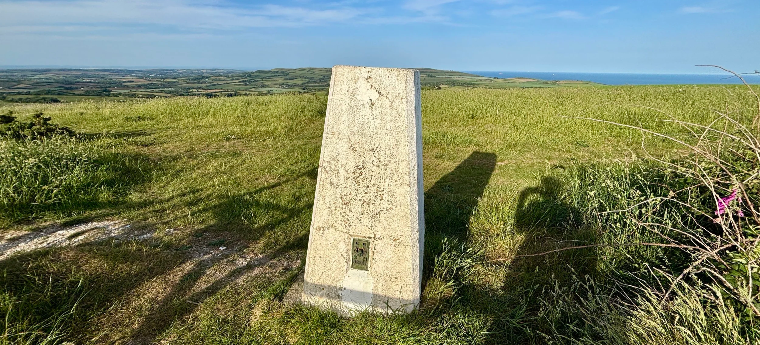
St Catherine’s Hill IoW Trig Pillar
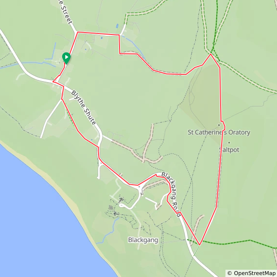
Start & Finish: Wight Mouse Inn, Church Place, Chale, Ventnor, PO38 2HA
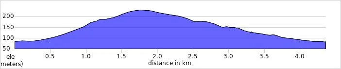
Distance: 4.4 km (2.7 miles)
Elevation change: +/- 144m
GPX File: get via Buy Me a Coffee
Other routes touched (walk): Isle of Wight Coastal Path
Other routes touched (cycle): Isle of Wight Round-The-Island Cycle Route (Route 67)
Pubs / Cafes on route: Wight Mouse Inn at the start and end
OS Trig Pillar: TP6127 - St Catherines Hill Isle Of Wight
Map: Isle of Wight Map | Cowes, Newport, Ryde, Sandown, Shanklin, Yarmouth & Ventnor | Ordnance Survey | OS Explorer Map OL29
Links: Chale, St. Catherine's Down, St Catherine's Oratory, Blackgang
Our Isle of Wight coastal cycle weekend late in May brought a brilliant unexpected bonus walk. Brian and I were on a two-day trip, and our first day involved cycling from Newport down to Chale on the south coast. We stayed overnight at a lovely pub called the Wight Mouse.
We arrived and checked in around 5:00 in the afternoon. We were both pretty tired, and Brian was particularly exhausted. We decided to grab an early dinner, after which I planned to head out for a short walk up nearby St. Catherine's Hill to bag the trig pillar. Brian had absolutely no interest in joining me: partly because of the fatigue, but mostly because he only had his clip-in cycle shoes with him, which are completely useless for walking. I do not use clip-ins, so I had my trusty trainers for the weekend, which were perfectly fine for a hike. Plus, we could actually see the top of the hill from our bedroom window at the pub: it was just too tempting to pass up!
Walking Directions
The guidance below will help you navigate but don’t use it as a fully accurate turn-by-turn guide. Always take a map and/or a GPX route and prepare well for the weather and terrain.
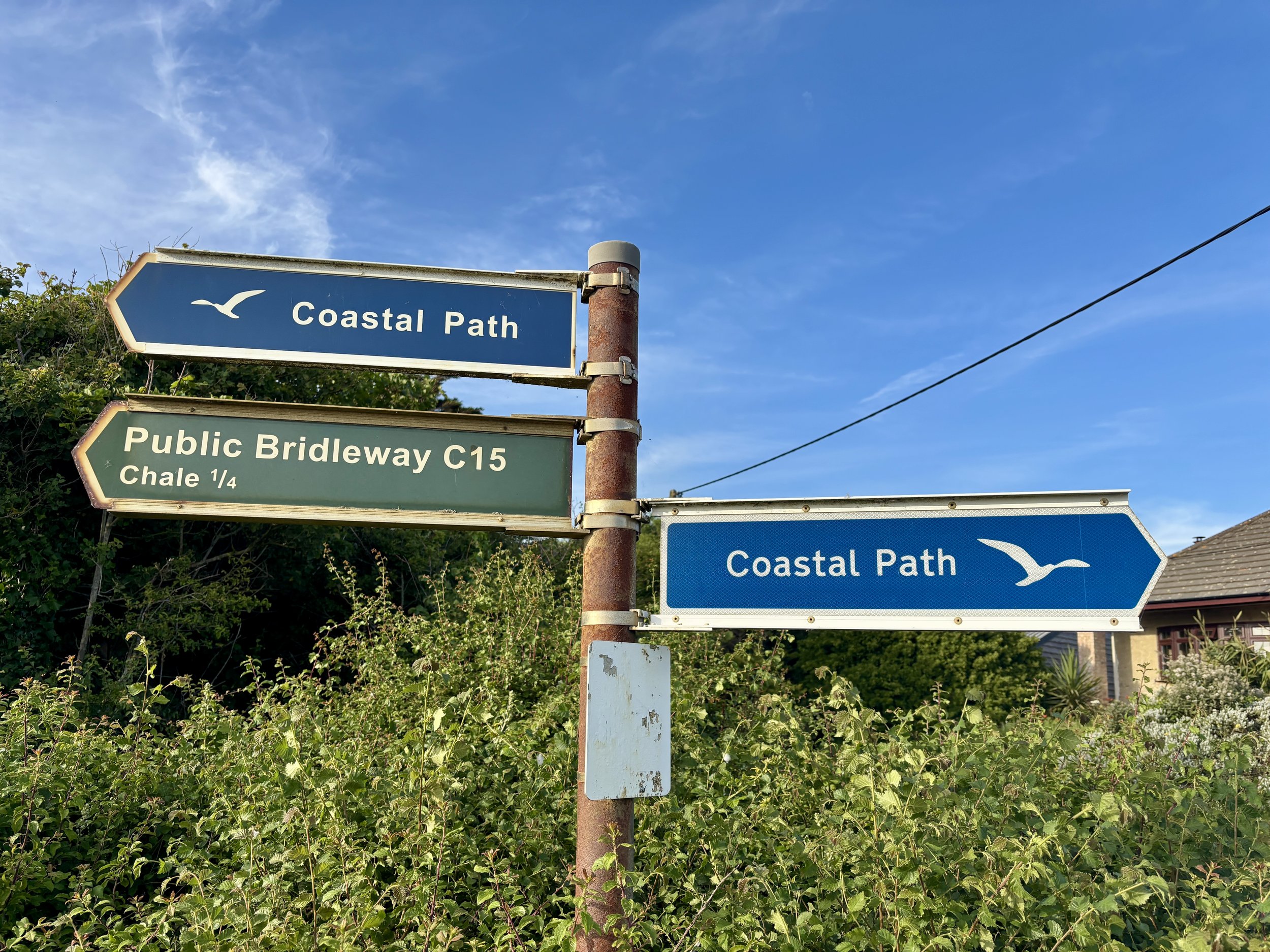
Just after dinner, I set out. I took a left out of the pub onto Church Place, and then the first right onto Upper House Lane. Taking a right onto a footpath, I headed out into the fields. From there, you can navigate through the fields and up a steep bank to the ridge line, which leads straight to St. Catherine's Hill.
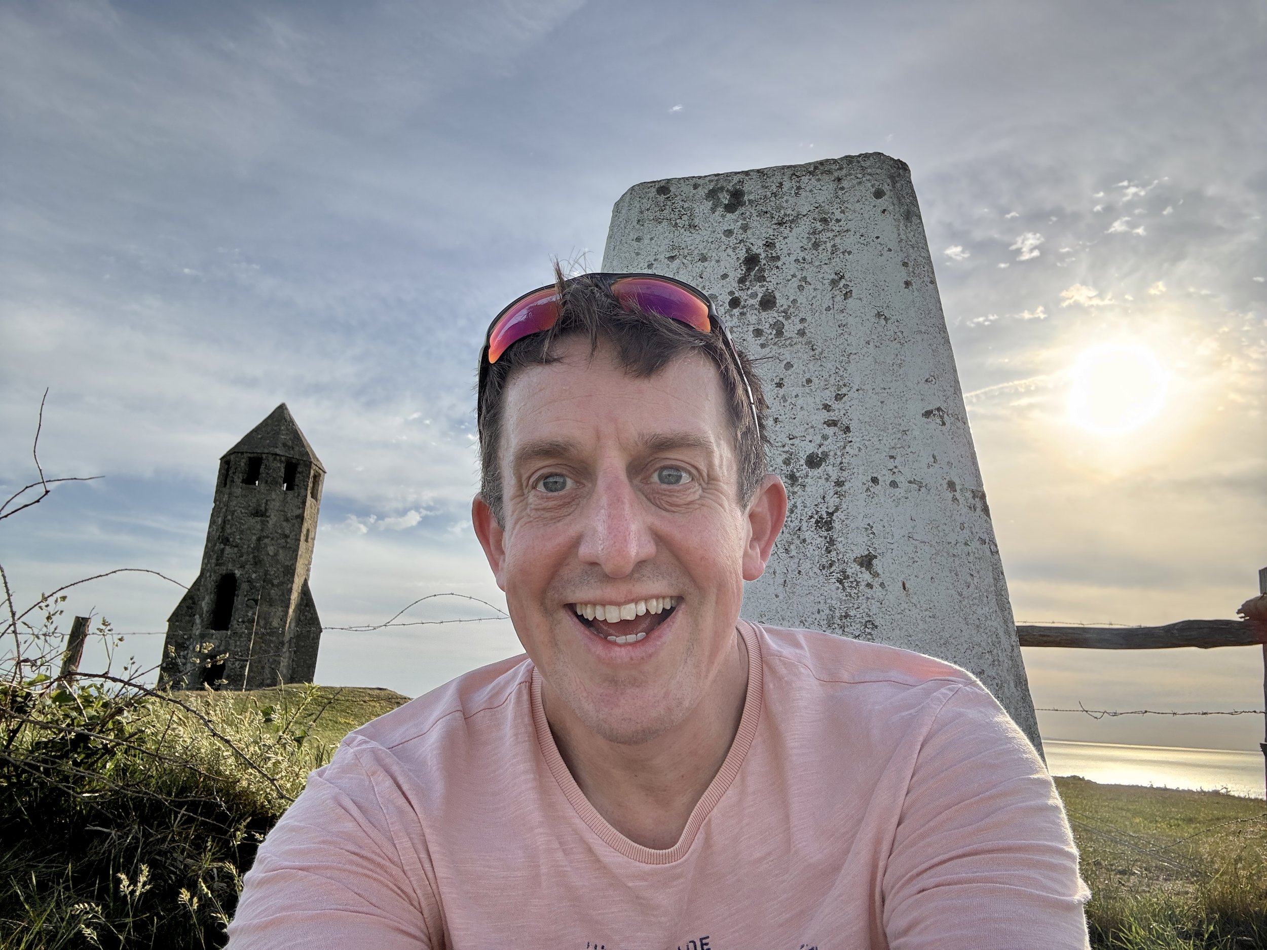
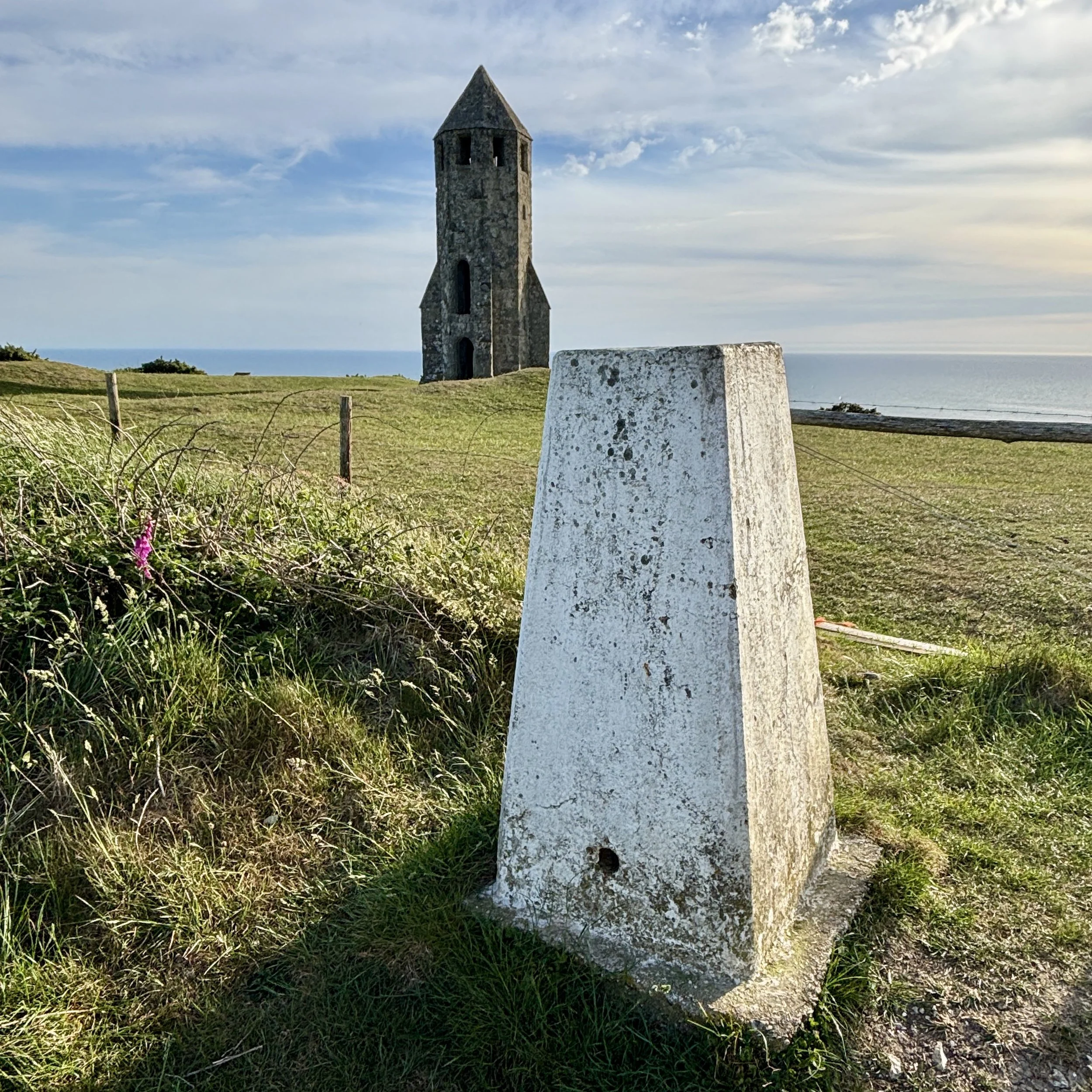
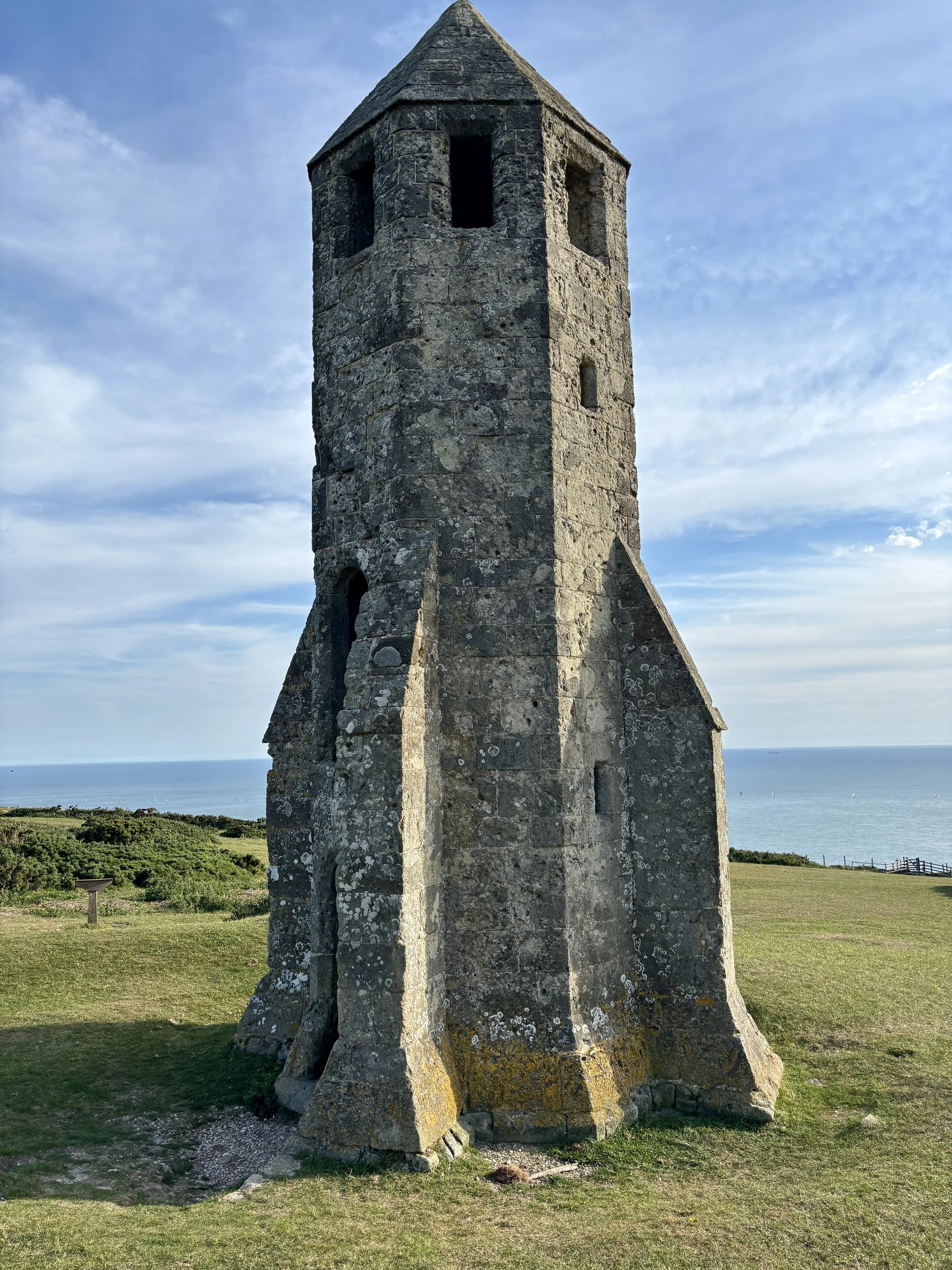
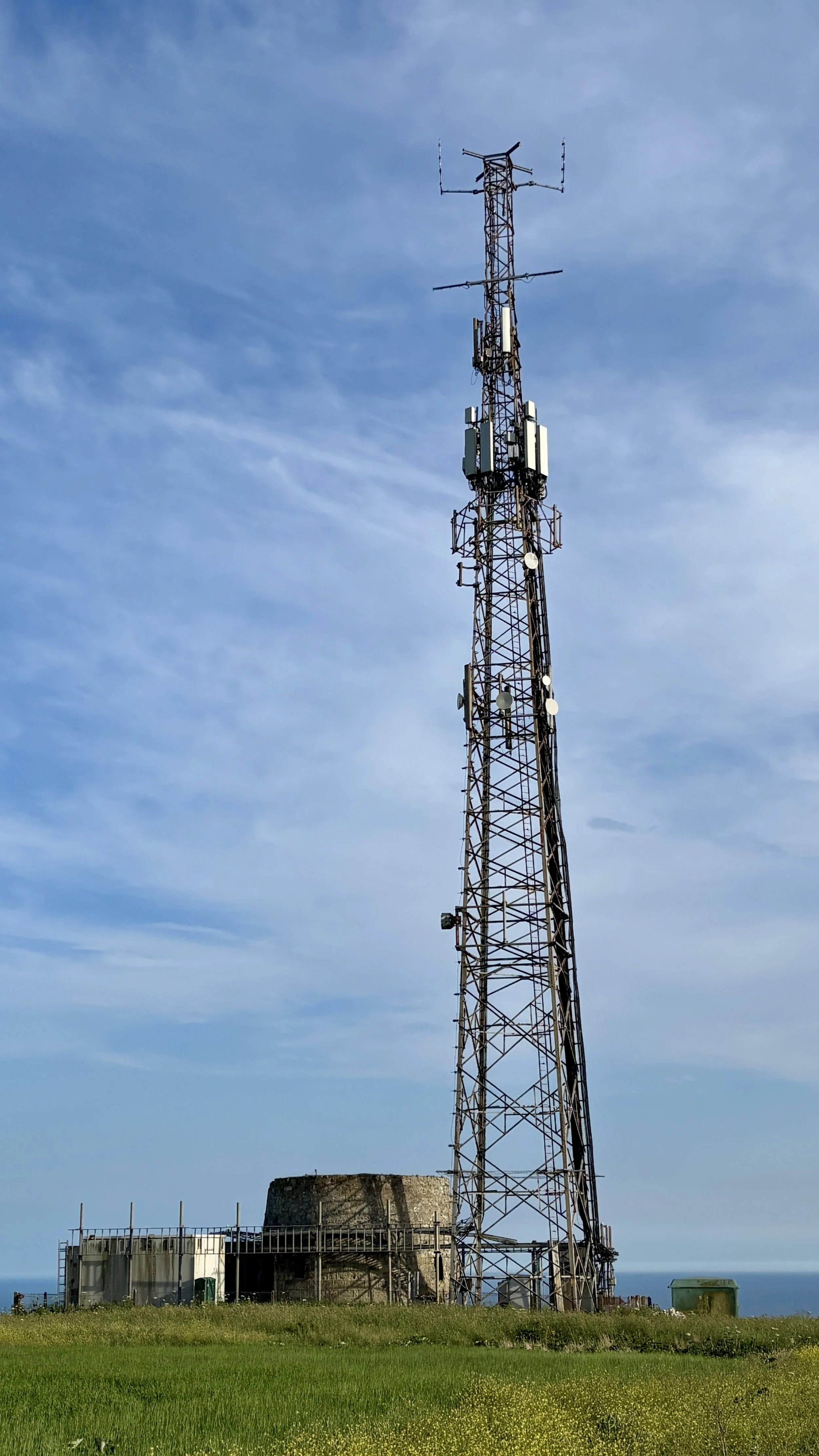
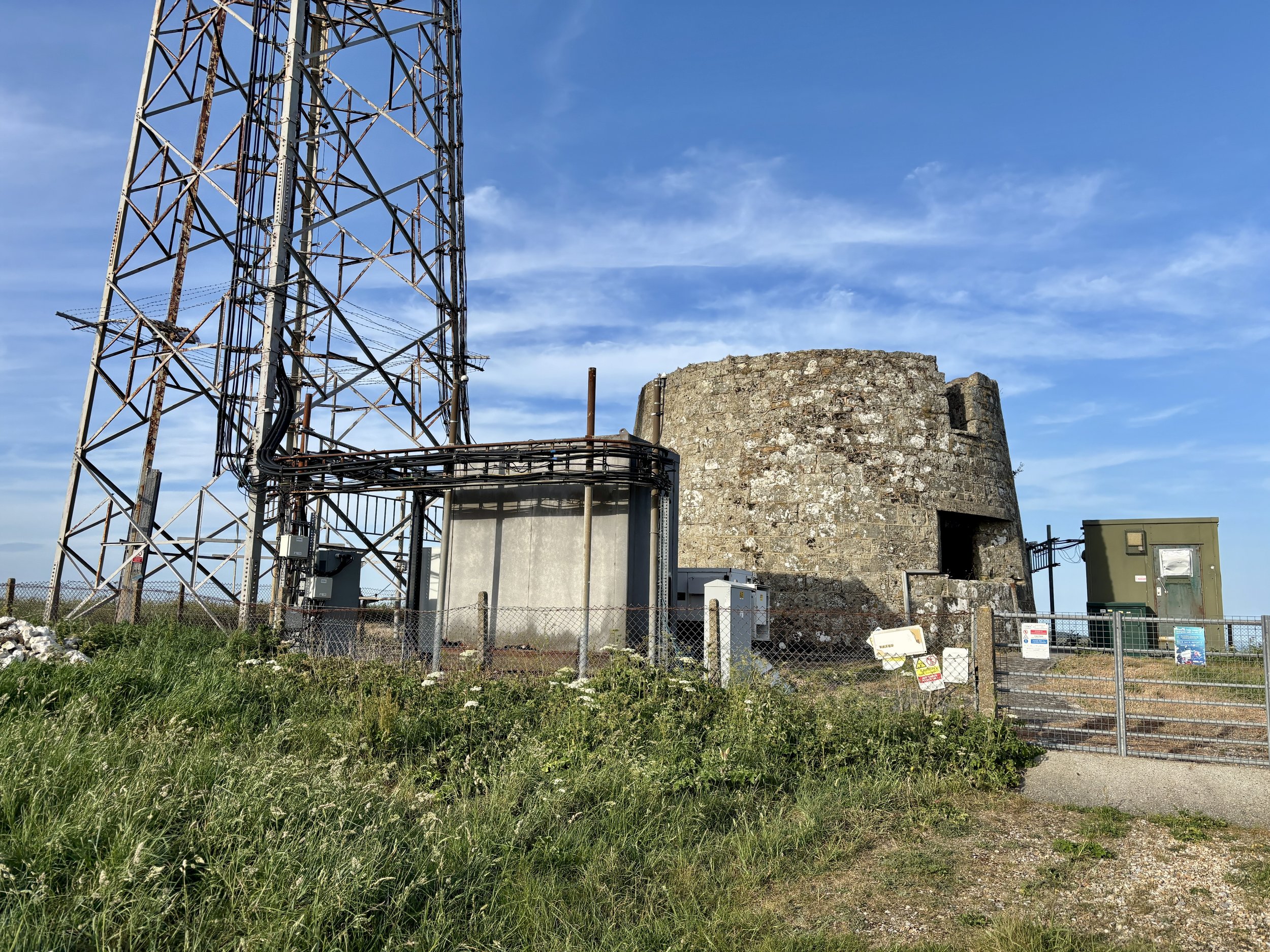
There are some genuinely fascinating things to see at the top. Naturally, my first stop was the trig pillar itself, which I successfully bagged. Moving on, the landscape reveals St. Catherine's Oratory, affectionately known locally as the "Pepperpot". This 35-foot structure is the only surviving medieval lighthouse in England. It was completed in 1328 by Walter de Godeton, the Lord of Chale. He was ordered by the Church to build the lighthouse and an adjoining oratory as an act of penance after he illegally plundered casks of white wine from a shipwrecked vessel called the St Marie of Bayonne in Chale Bay. Interestingly, historical sources conflict slightly on the exact date of the wreck: English Heritage and some historical texts note it as occurring in 1314, whilst other local historical records state it happened on 20 April 1313. A bit further south from the trig pillar, there is another striking piece of history: a modern telecommunications tower built right next to an old World War II pillbox.
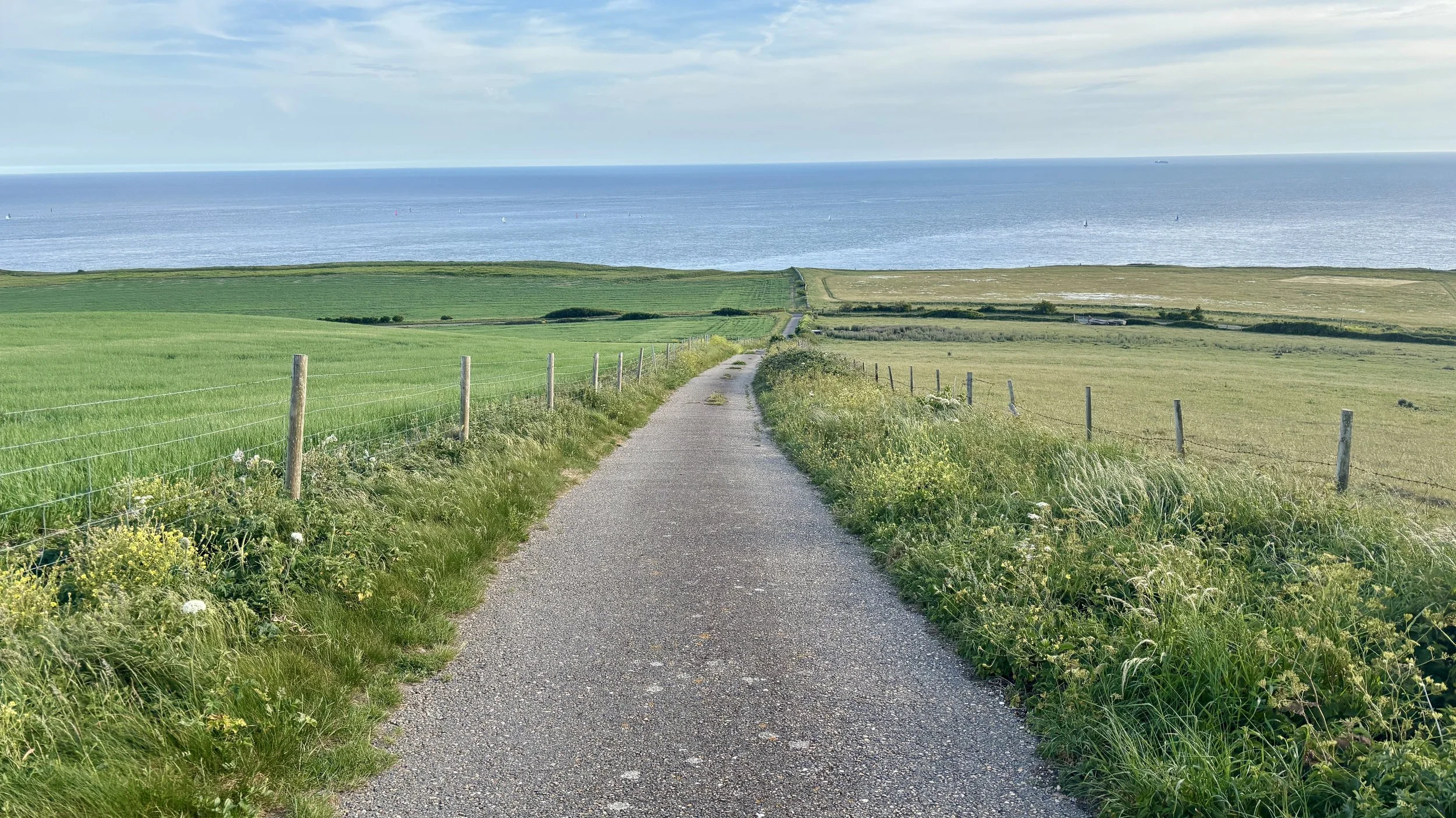
After spending a good amount of time at the top investigating the sights, I continued south along the footpath until I reached Blackgang Road: the exact road we had cycled down just a couple of hours prior.
I crossed over the road at a safe point into the Blackgang Viewpoint car park. From there, I picked up the Isle of Wight Coastal Path. This walking route takes a much safer path running parallel to Blackgang Road. I followed it all the way back to Chale, returning to Church Place and finally arriving back at the Wight Mouse. I found Brian relaxing in the pub garden, and we enjoyed a final drink together before getting a big sleep ahead of our second day of cycling.
Points of Interest along or near to the Route
St Catherine's Hill (Trig Pillar & Tumuli) At 239 metres above sea level, St Catherine's Hill is one of the highest points on the Isle of Wight. The summit area, including St. Catherine's Down, not only houses the trig pillar but also features ancient burial mounds (tumuli) dating back to the Bronze Age. The elevation provides commanding, uninterrupted views across the English Channel and the rolling downland of the island.
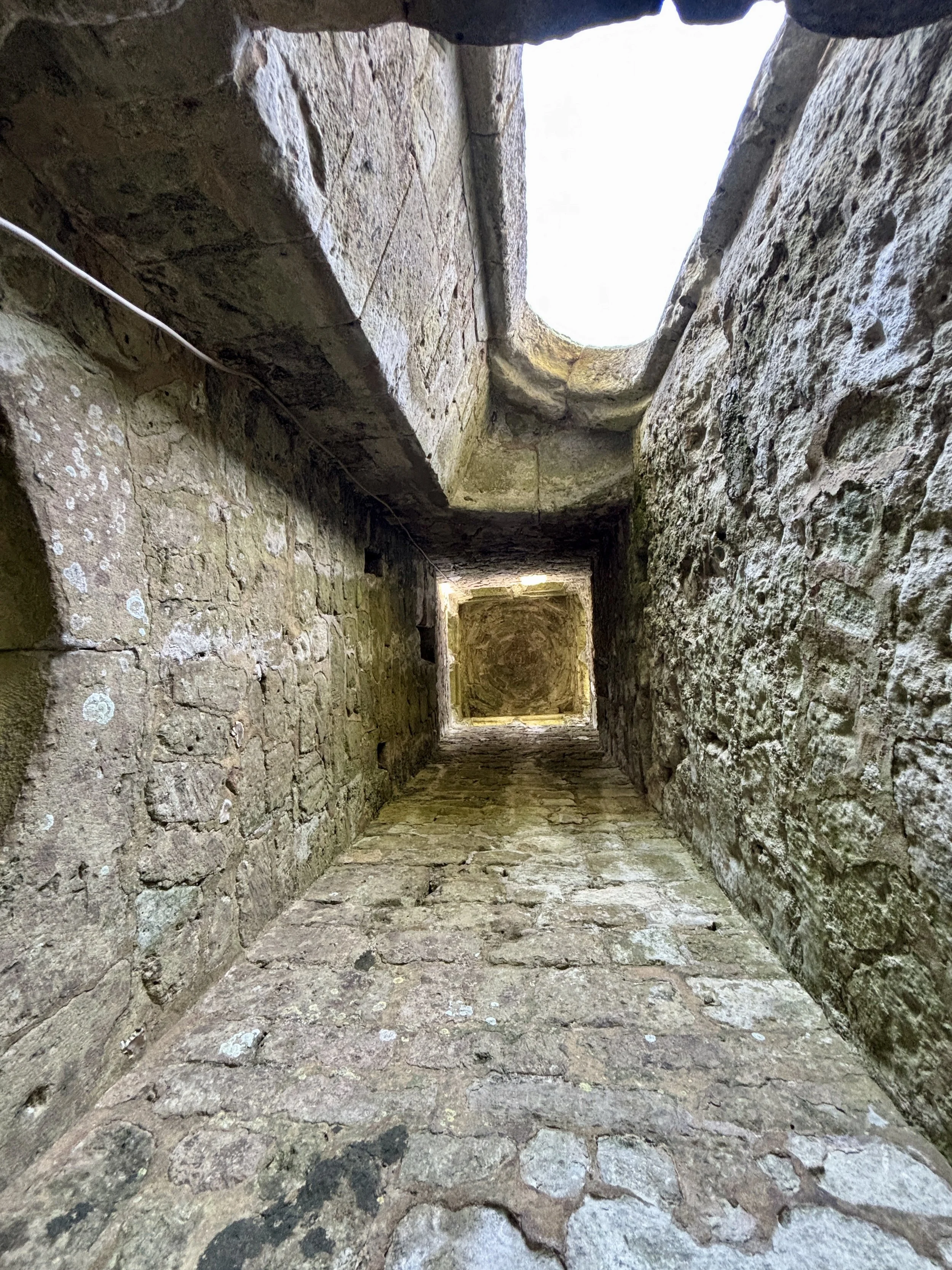
St Catherine's Oratory (The Pepperpot) Standing 35 feet tall, this striking octagonal stone tower is Britain's only surviving medieval lighthouse. It was built in 1328 by Walter de Godeton as penance for plundering a shipwrecked vessel laden with wine destined for a monastery. Originally, a priest would have tended the light to warn sailors of the treacherous Chale Bay below while offering prayers for the souls of those lost at sea.
Wight Mouse Inn (Chale) Located in the village of Chale, this historic 17th-century pub serves as a welcome starting and finishing point for the route. The building has deep roots in the local community, serving weary travellers for generations. Chale is positioned near the rugged southwestern coast, an area historically notorious for shipwrecks, giving the pub a rich maritime and smuggling heritage.
Blackgang Viewpoint Overlooking the dramatic southern coastline, this viewpoint offers spectacular vistas along the Undercliff and out over the sea. The area around Blackgang is constantly shaped by coastal erosion and landslides, which gives the cliffs their rugged, sheer appearance. In the past, this stretch of coastline was heavily patrolled by coastguards due to frequent shipwrecks and active smuggling operations.
St Boniface Down: Isle Of Wight High Point
Significance: Highest peak on the Isle of Wight (Present Day County Top), Isle of Wight National Landscape High Point
Member of: Marilyn, Hardy
Parent Peak: n/a.
Nearest Higher Neighbour: Butser Hill
Historic County: Hampshire (of which Pilot Hill is the County Top)
Elevation: 241m
Date climbed: 6th July 2014
Coordinates: 50° 36' 13'' N, 1° 11' 51'' W
OS Trig Pillar: TP0352 - Wroxall Down
Map: OS Explorer OL29 Isle of Wight
Guidebook: Walking the County High Points of England (David Bathurst)
Links: Wikipedia (Isle of Wight), Wikipedia (St Boniface Down), Peakbagger, Hillbagging, National Trust
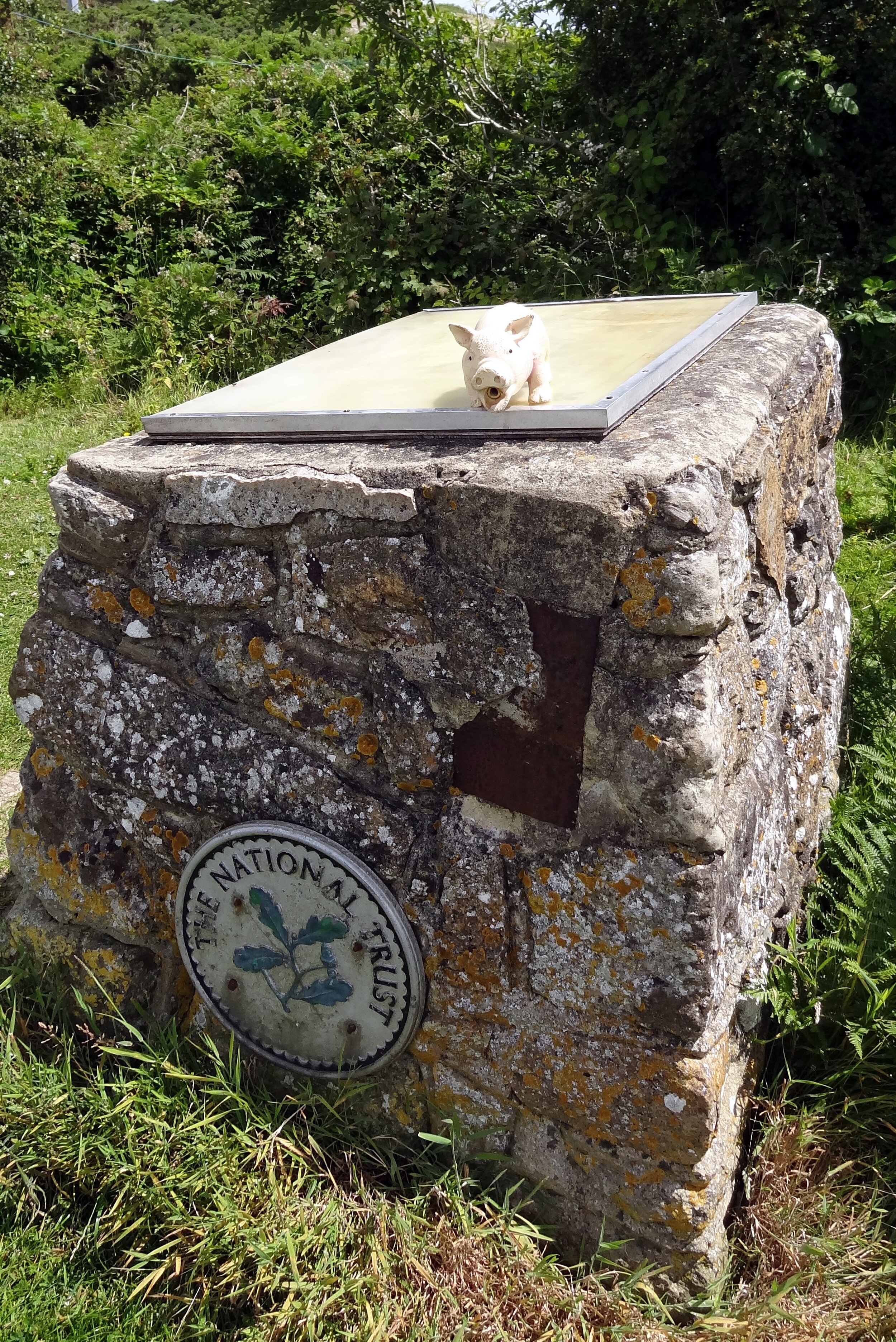
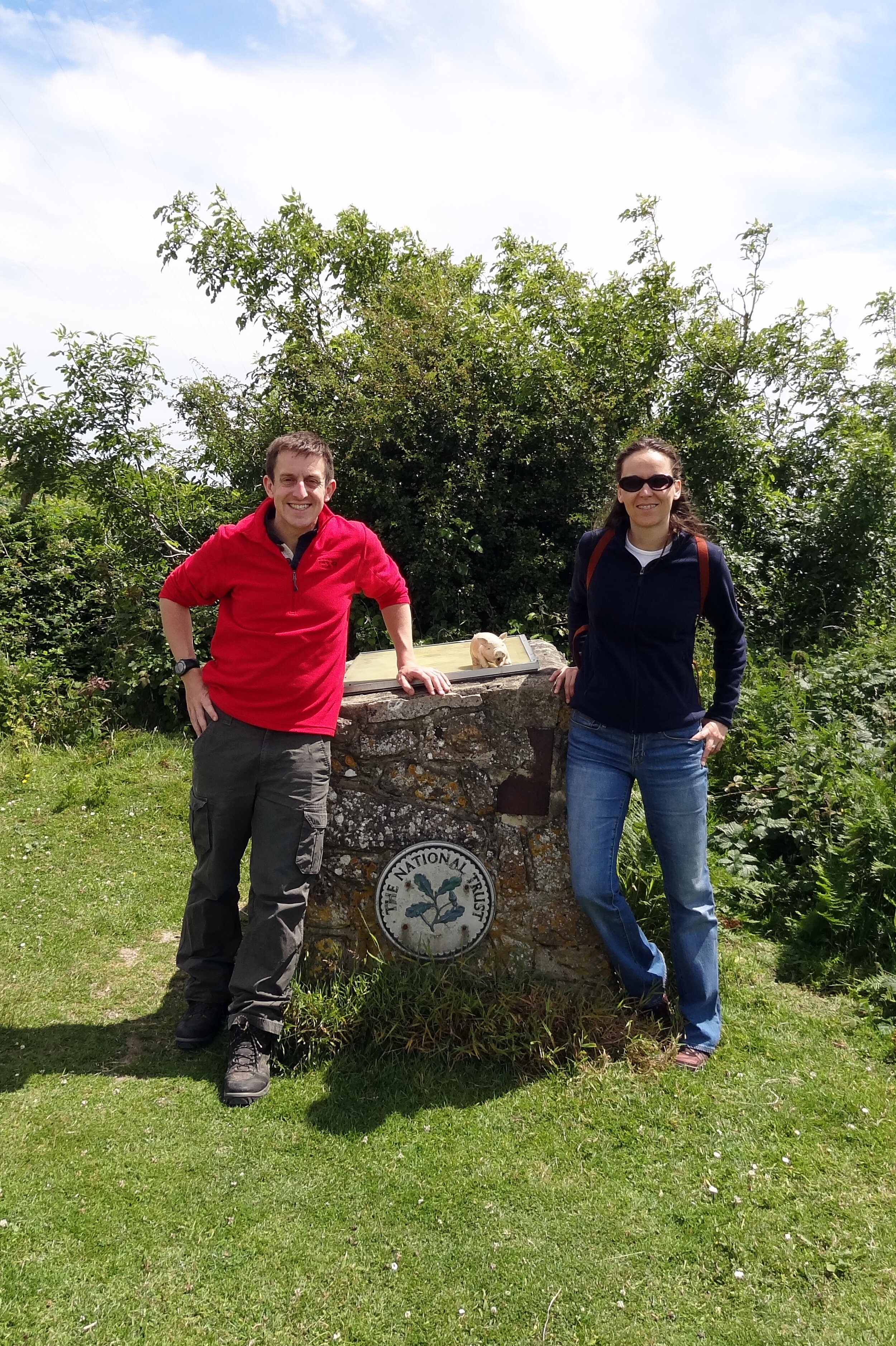
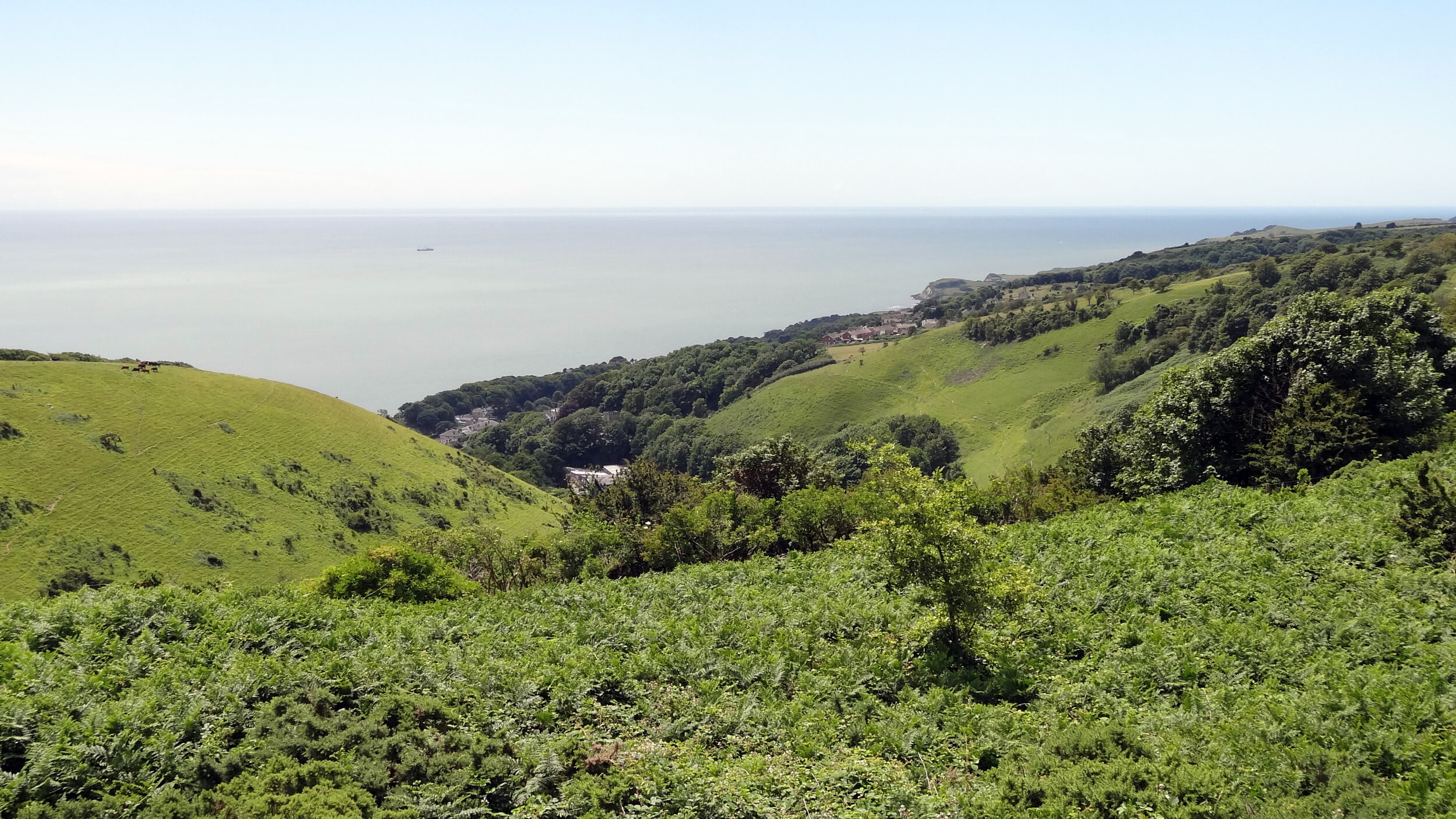
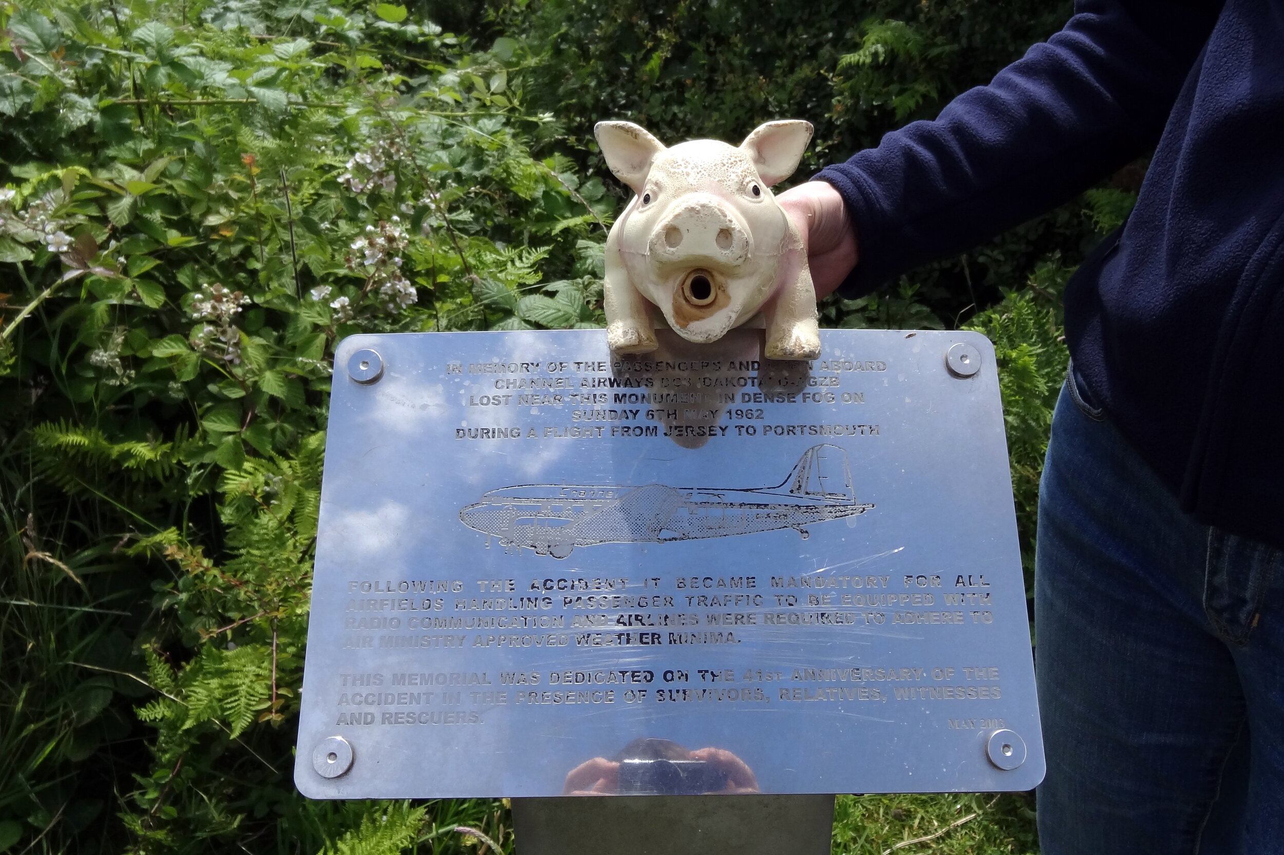
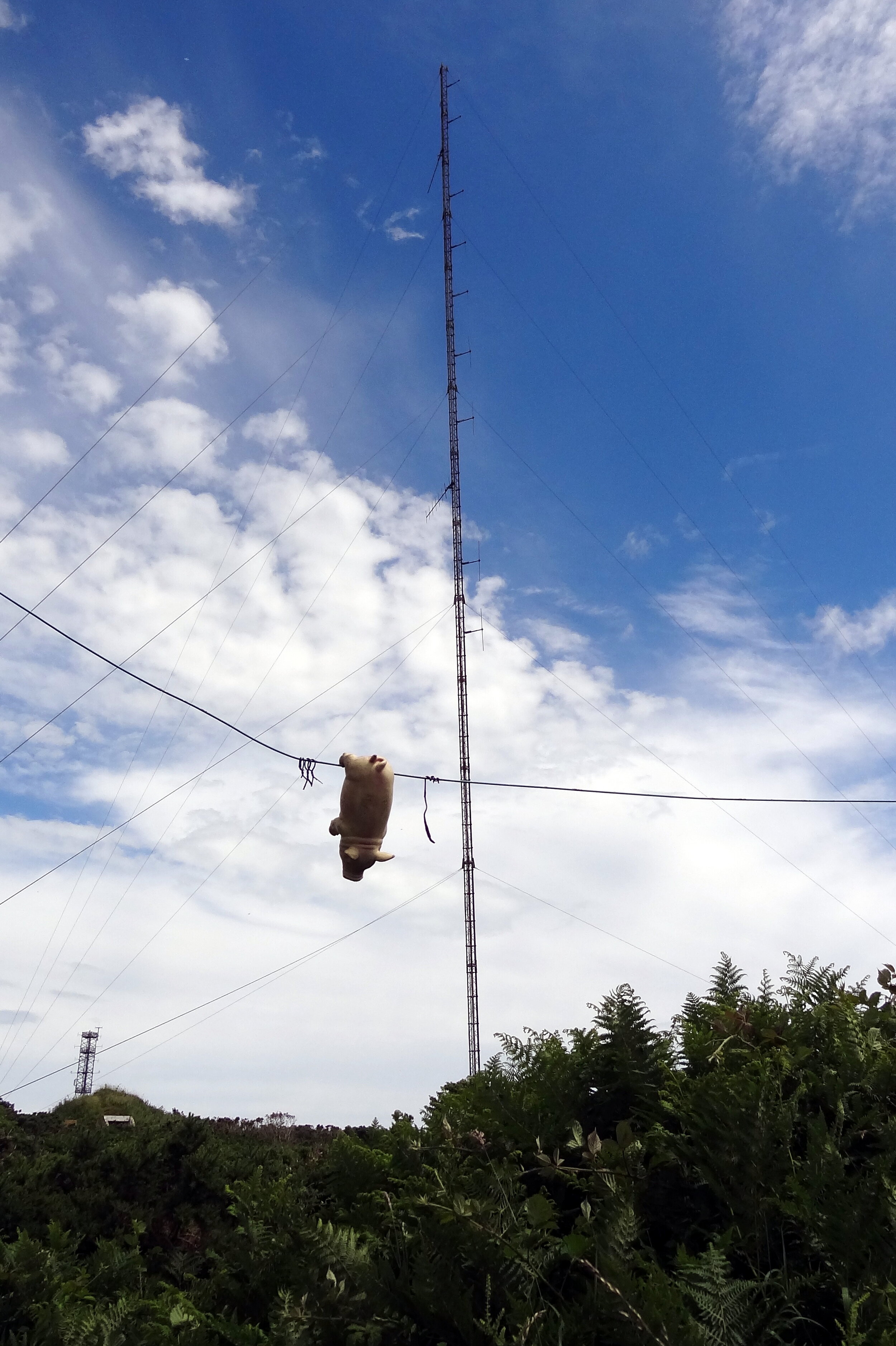
This was another drive-by County Top bagging for us. We were on a weekend trip for my mum's birthday and I convinced her that the diversion to the top of a hill to see a radar station was a good thing to do. As it turned out the views to the south coast of the island were fantastic that day.
Having seen David Bathurst's book since that trip, I've been inspired to go back one day and try a longer circular route to the top. I also completely missed bagging the Trig Pillar so I definitely have some unfinished business up there.