Walking The Greensand Way Part 22 - Toys Hill and Ide Hill

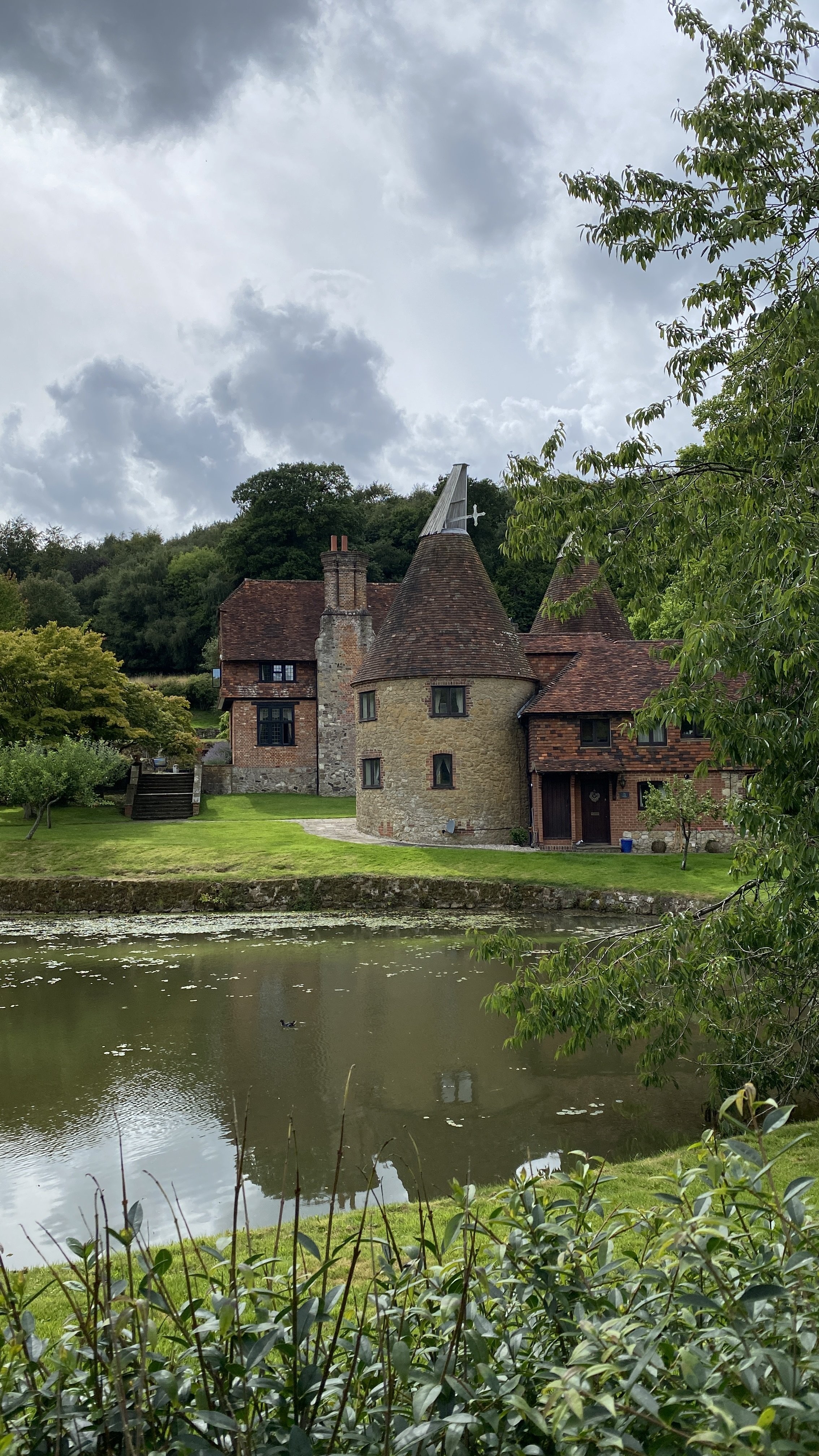
Cows and oast houses near French Street
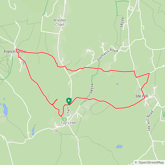
Start & Finish: Toys Hill Car Park, Toy's Hill Road, Westerham, TN16 1QG
Distance: 8 km (5 miles)
Elevation change: +/- 215m
Greensand Way section covered: French Street to Ide Hill: 3.71 km
GPX File: get via Buy Me a Coffee
Other routes touched (walk): Greensand Way, NT Octavia Hill Centenary Walk, Weardale Walk,
Other routes touched (cycle): N/A
Pubs / Cafes on route: Cock Inn at Ide Hill (just off route at 1.8 km in), National Trust Cafe at Emmetts Garden (3.4 km in)
Map: Sevenoaks & Tonbridge Map | Royal Tunbridge Wells & Westerham | Ordnance Survey | OS Explorer Map 147
Links: Toys Hill National Trust, Ide Hill, Emmett’s Garden National Trust, Weardale Manor
This is the twenty-second of a series of short circular walks featuring the Greensand Way. The full trail is a long distance path stretching from Haslemere in Surrey to Ham Street in Kent. Our walks take in short sections of the Greensand Way and loop back to the start on other paths. The Greensand Way is well sign posted however you’ll need a map or GPX route to keep on track for the return sections of the loops. The guidance below will help but don’t use it as a fully accurate turn-by-turn guide.
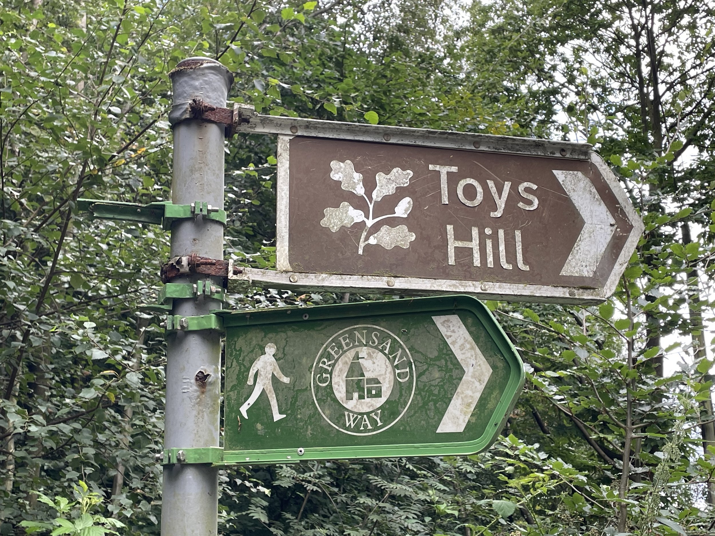
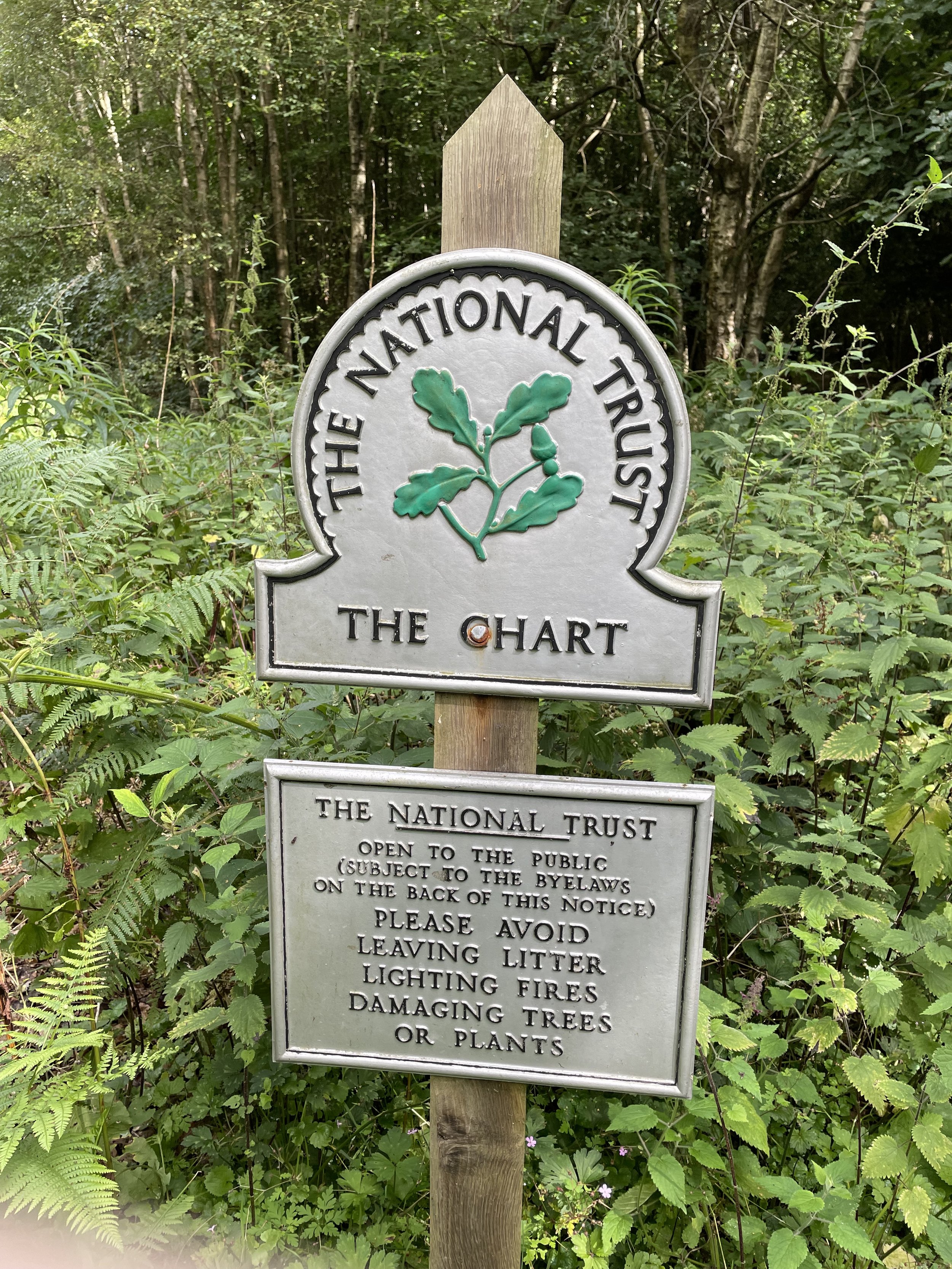
For this section we parked at the National Trust Car Park at the bottom of Toy’s Hill and picked up the Greensand Way heading east after crossing Chart Lane. The route covers a lot of the same ground as the NT Octavia Hill Centenary Walk, but it’s not exactly the same so be careful when following route markers. After 1.75km you’ll reach Ide Hill village and will leave the Greensand Way but follow the Octavia Hill Walk north along Sundridge Road. Take a footpath on the right to leave the road, crossing a field to Norman Street then taking a left to return to Sundridge Road. Take a right, then a left into the lane that passes Ide Hill Cricket Club.
Follow the Octavia Hill Walk up through Emmett’s Garden National Trust where there’s a café. Shortly after the cafe you’ll leave the Octavia Hill Walk and continue west, now picking up the Weardale Walk. Follow this to French Street to join the Greensand Way at the point that you left it on section 21. Take the Greensand Way in a southerly direction all the way back to the Toy’s Hill Car Park.
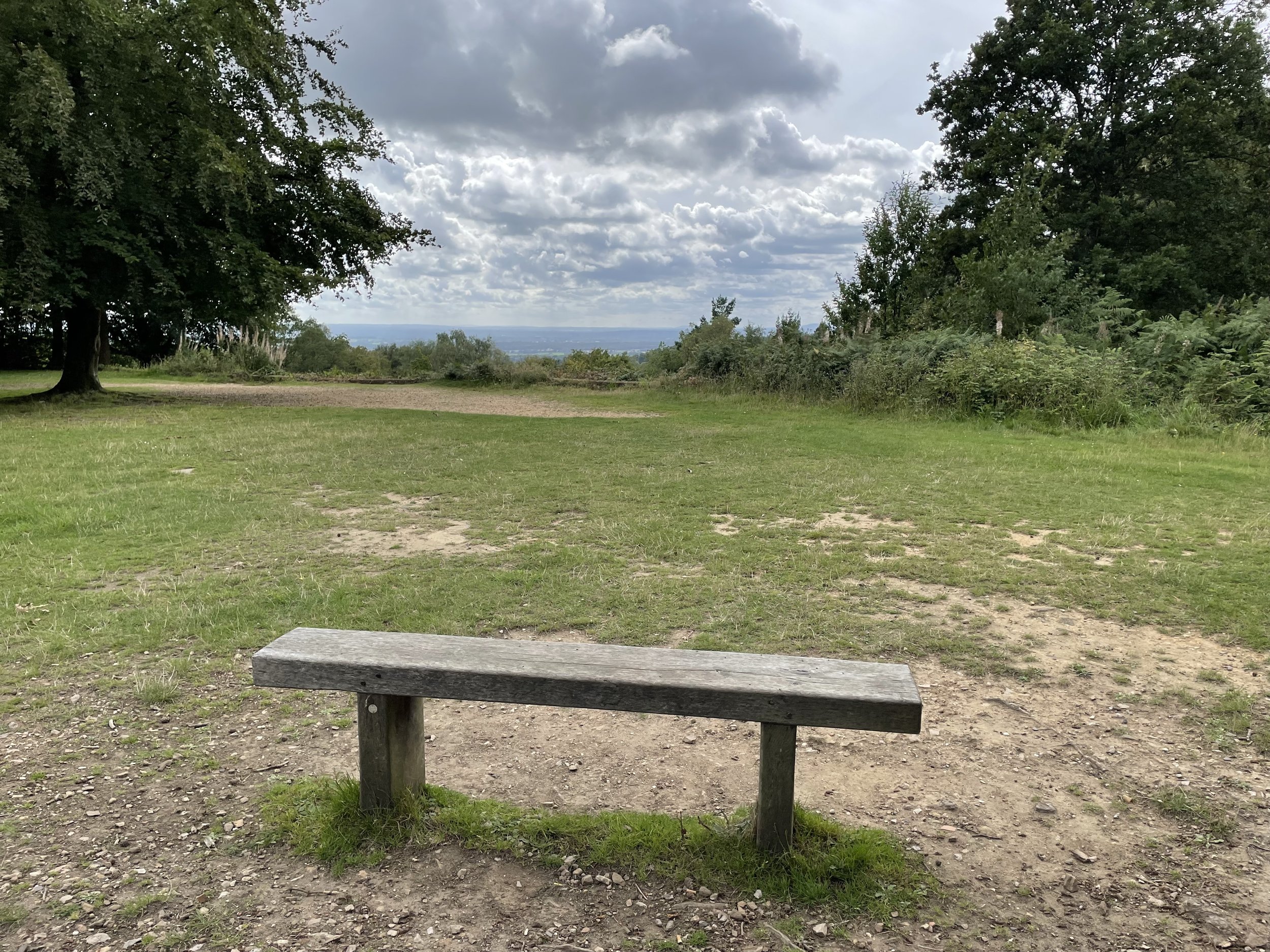
The Greensand Way doesn’t cross over the top of Toy’s Hill so it’s worth taking a short out-and-back diversion from the path to the summit. At the top you’ll find the remains of Weardale Manor, a memorial and great views over the Kent and Sussex countryside.
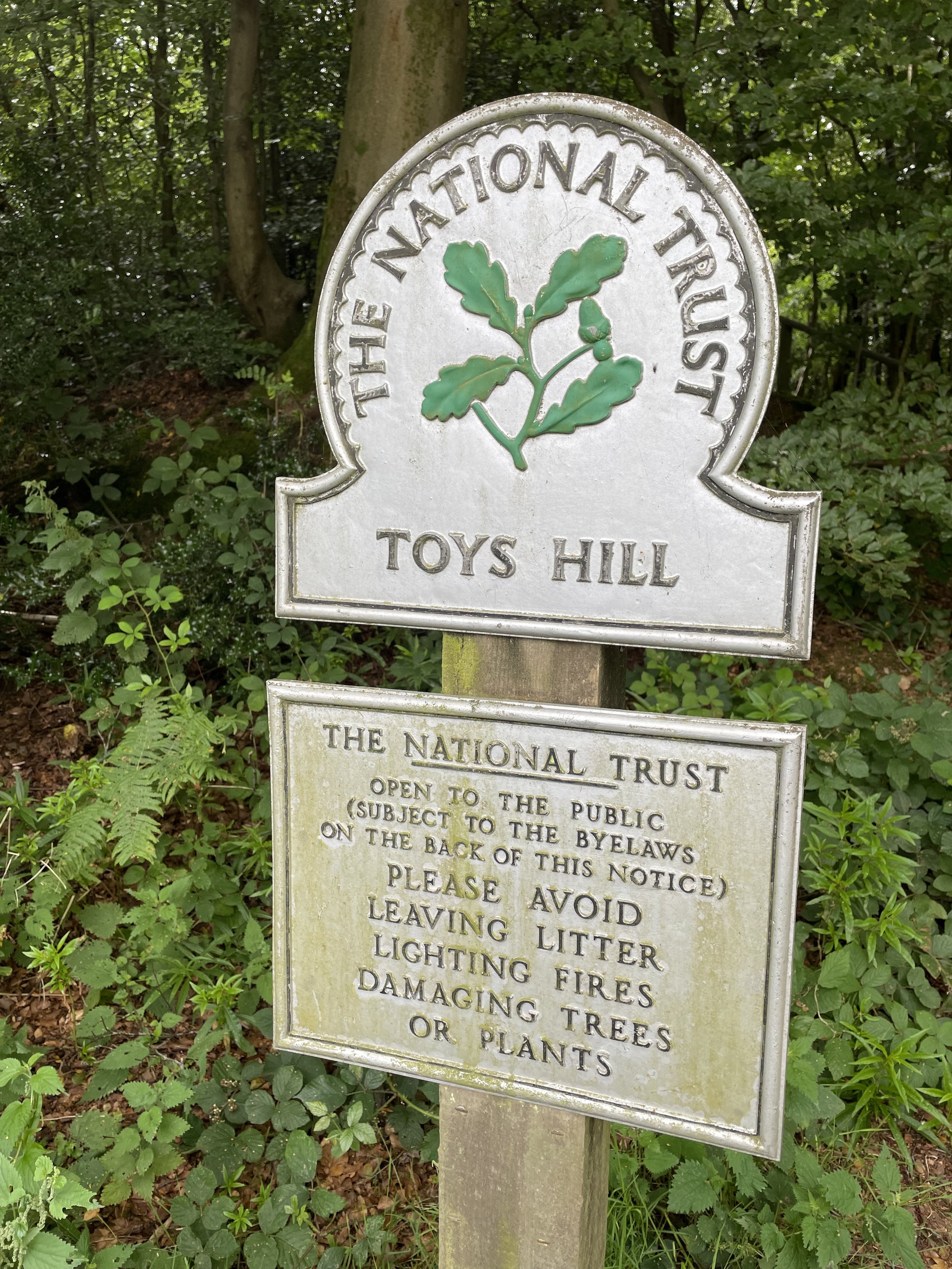
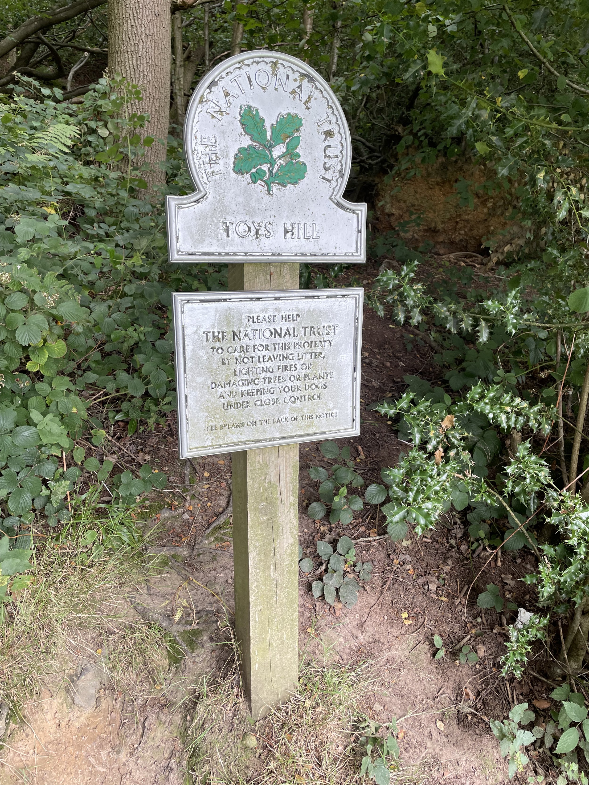
Toys Hill
Significance: Kent Downs National Landscape High Point
Member of: England Peaks with 100 meters of Prominence
Parent Peak: Botley Hill.
Nearest Higher Neighbour: Betsom’s Hill
Elevation: 248m
Date climbed: August 13th 2023
Coordinates: 51°15'00.0"N 0°06'00.0"E
Map: Sevenoaks & Tonbridge Map | Royal Tunbridge Wells & Westerham | Ordnance Survey | OS Explorer Map 147
Links: Wikipedia (Kent Downs / Toys Hill), Peakbagger, Hillbagging


Previous section: Walking The Greensand Way Part 21: Crockham Hill Common and Chartwell
Next section: Walking The Greensand Way Part 22: Yorks Hill and Bailey’s Hill