Garth Hill: Cardiff High Point

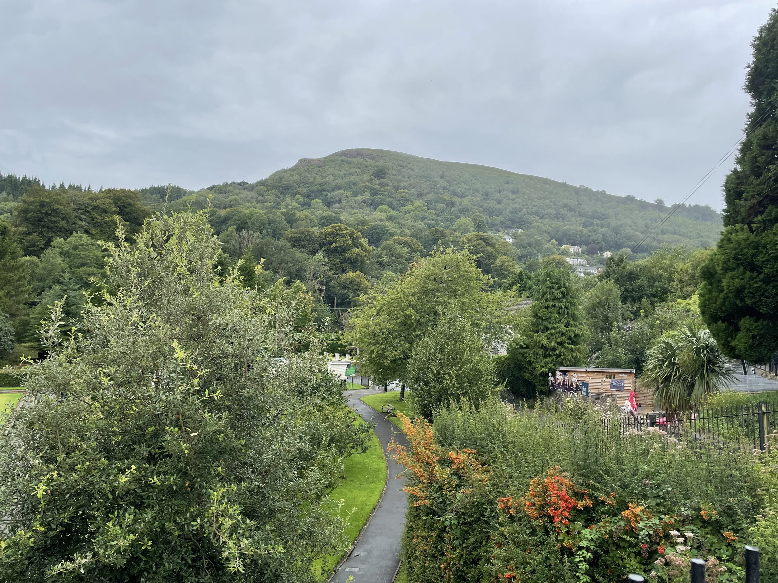
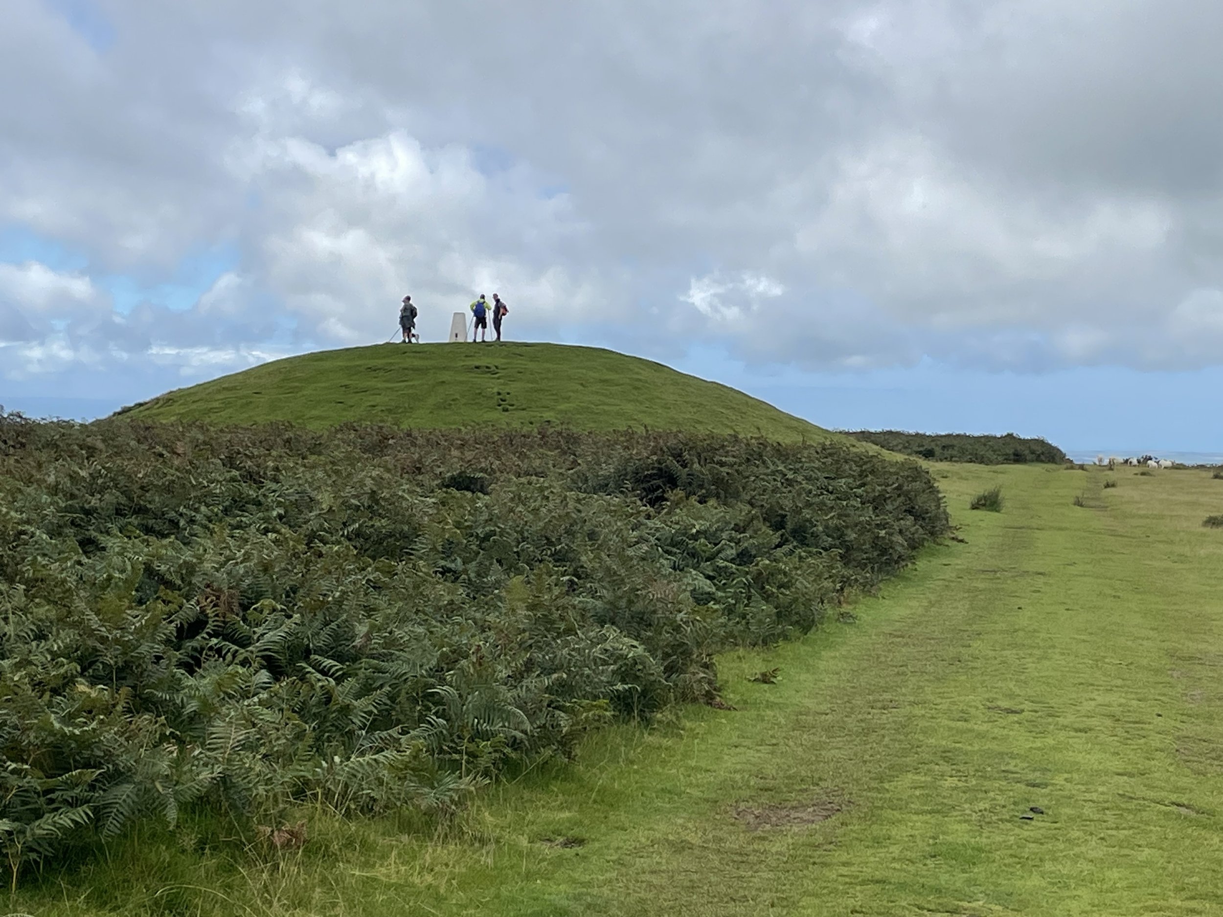
Approaching the summit of Garth Hill
Also known as: Mynydd y Garth (Welsh), The Garth
Significance: High Point for the Welsh Principal Area of Cardiff and the Perserved County of South Glamorgan
Member of: Marilyn
Parent Peak: TBC. NHN = Cefn Eglwysilan
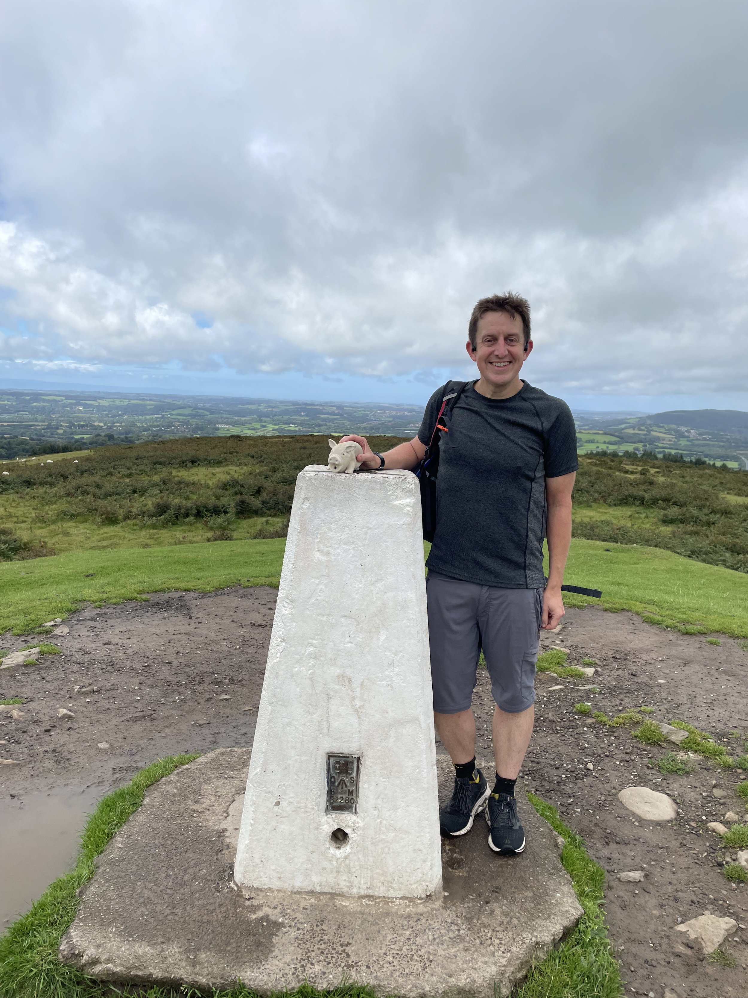
Elevation: 307m
Date climbed: August 19th 2023
Coordinates: 51° 32' 36'' N, 3° 17' 40'' W
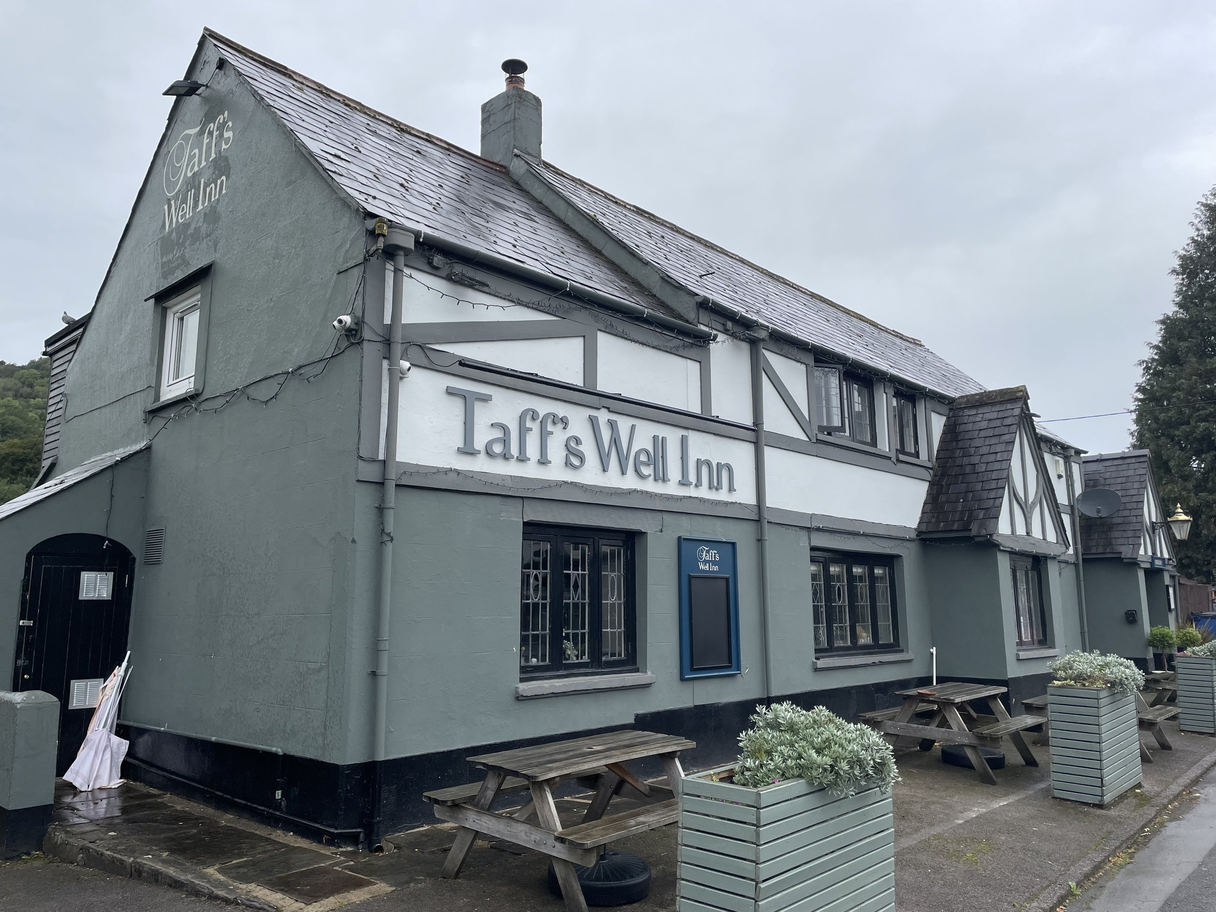
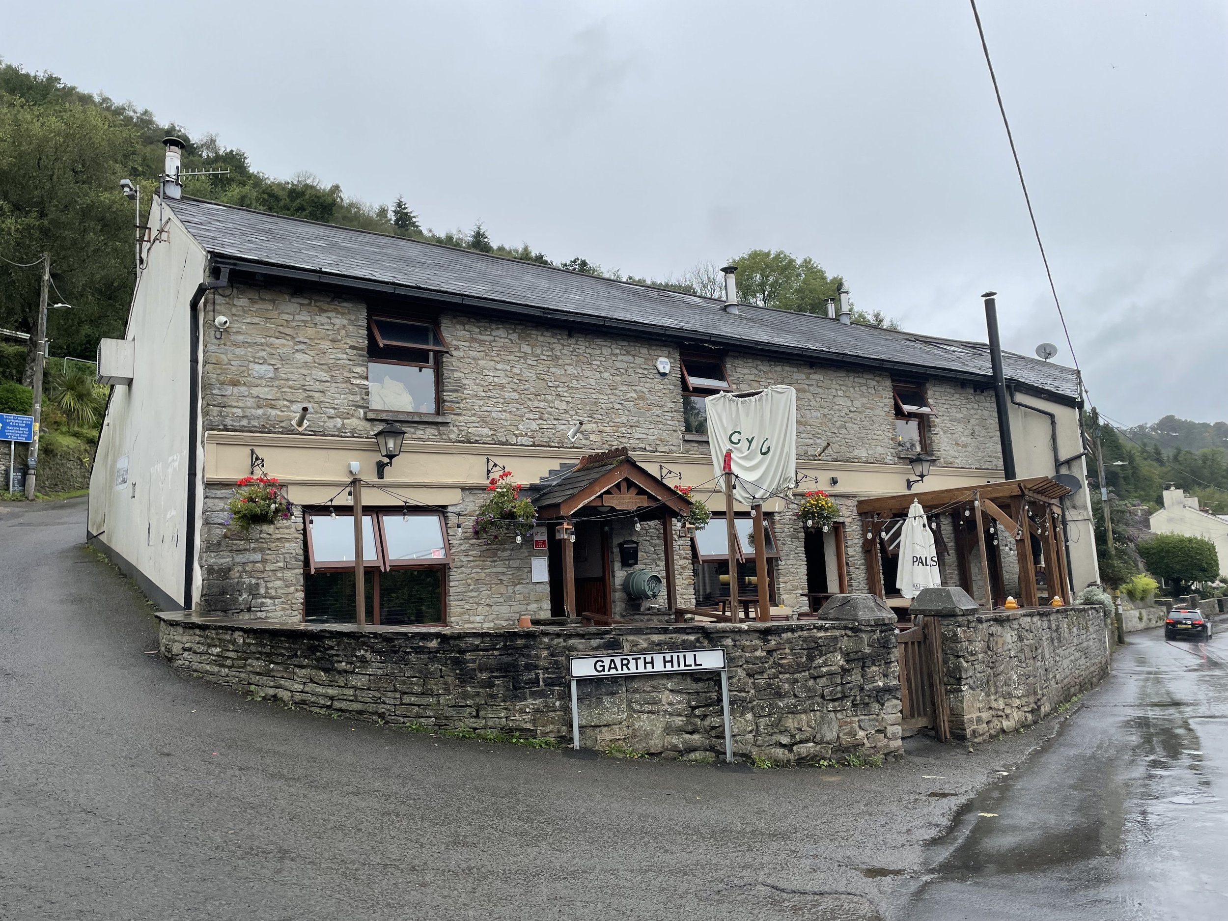
Route Start & Finish: The Taffs Well Inn, Cardiff Road, Taff's Well, Cardiff, CF15 7PR
Route Distance: 6.2 km (3.6 miles)
Route Elevation change: +/- 260m
GPX File: get via Buy Me a Coffee
Other routes touched: N/A … the Taff Trail runs past Taff’s Well Station
OS Trig Pillar: TP3324 - Garth
Pubs / Cafes on route: The Taff’s Well Inn (start), The Gwaelod-y-Garth Inn (600m in)
Map: Cardiff & Bridgend / Caerdydd a Pen-y-Bont Ar Ogwr Map | Vale of Glamorgan / Bro Morgannwg | Ordnance Survey | OS Explorer Map 151
Links: Wikipedia: Garth Hill / Cardiff / Taff’s Well, Peakbagger
Garth Hill is the high point of the Welsh Principal Area of Cardiff within the Historic County of Glamorganshire.
With all of the English, Welsh and Northern Irish Historic County Tops in the bag, I had now turned my attention to the modern day counties and Unitary Authorities. The Wife was away and I had a free weekend in hand so I drove to Cardiff for 2 days of bagging the High Points of the South Wales Principal Areas. I had already bagged Werfa (Mynydd Llangeinwyr) on a separate trip back in 2019, so I had 8 to complete in this trip.
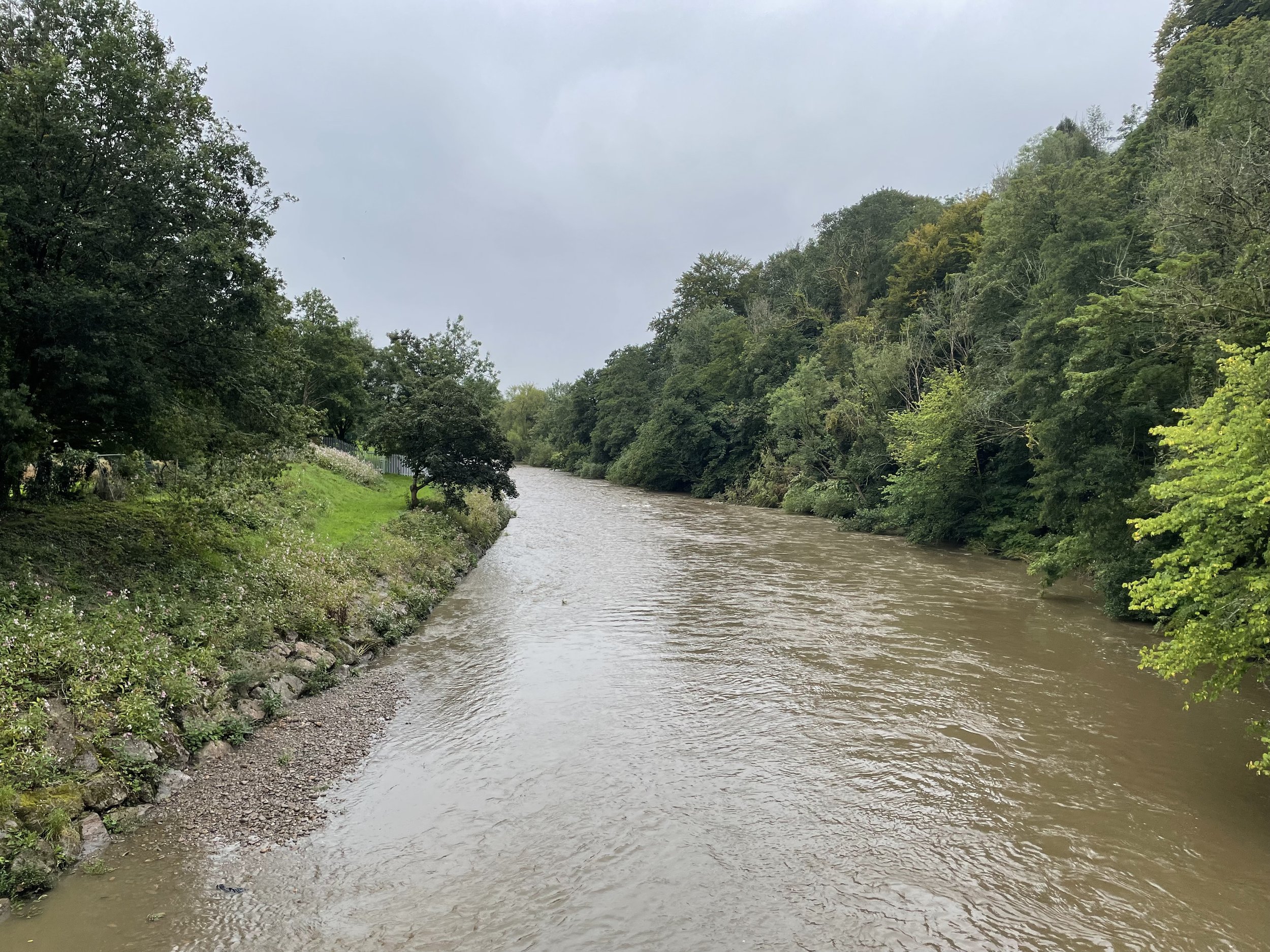
After spending the night in Cardiff and ticking off Cardiff parkrun I headed north along the a River Taff to the small village of Taff’s Well. Taff's Well is a village in the south-east of Rhondda Cynon Taf, about 6 miles (9.7 km) north of Cardiff. It is known locally as the "Gates to the Valleys". The village is named after the River Taff, which flows through it, and the warm spring within Taff's Well Park. The spring is the only thermal spring in Wales, and is thought to rise from the carboniferous limestone. The water is tepid, with a temperature of around 18 degrees Celsius. Taff's Well was a popular spa resort in the 19th century, and people would travel from all over the UK and Europe to bathe in its waters. The spa closed in the early 20th century, but the spring is still a popular local tourist attraction.
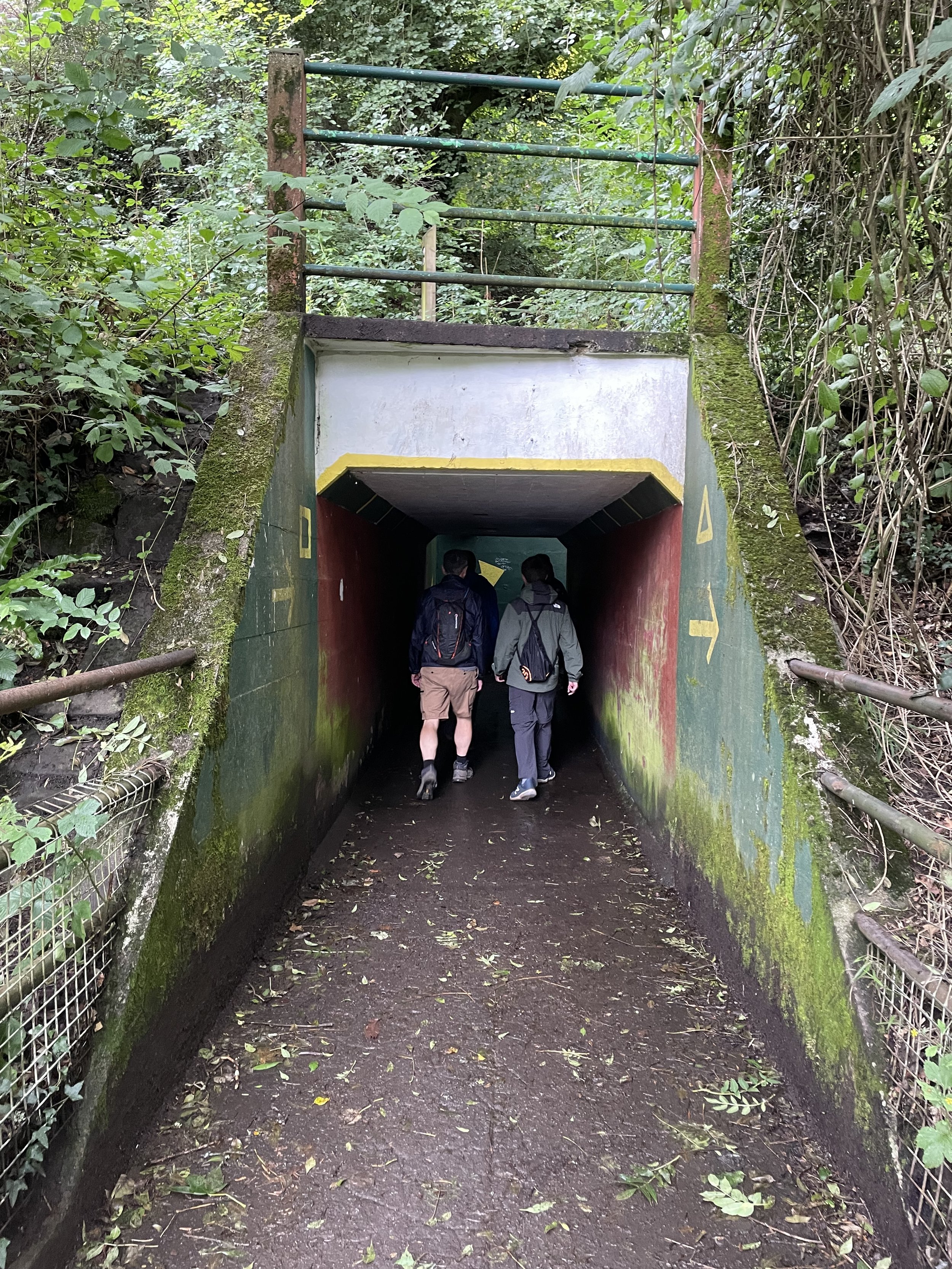
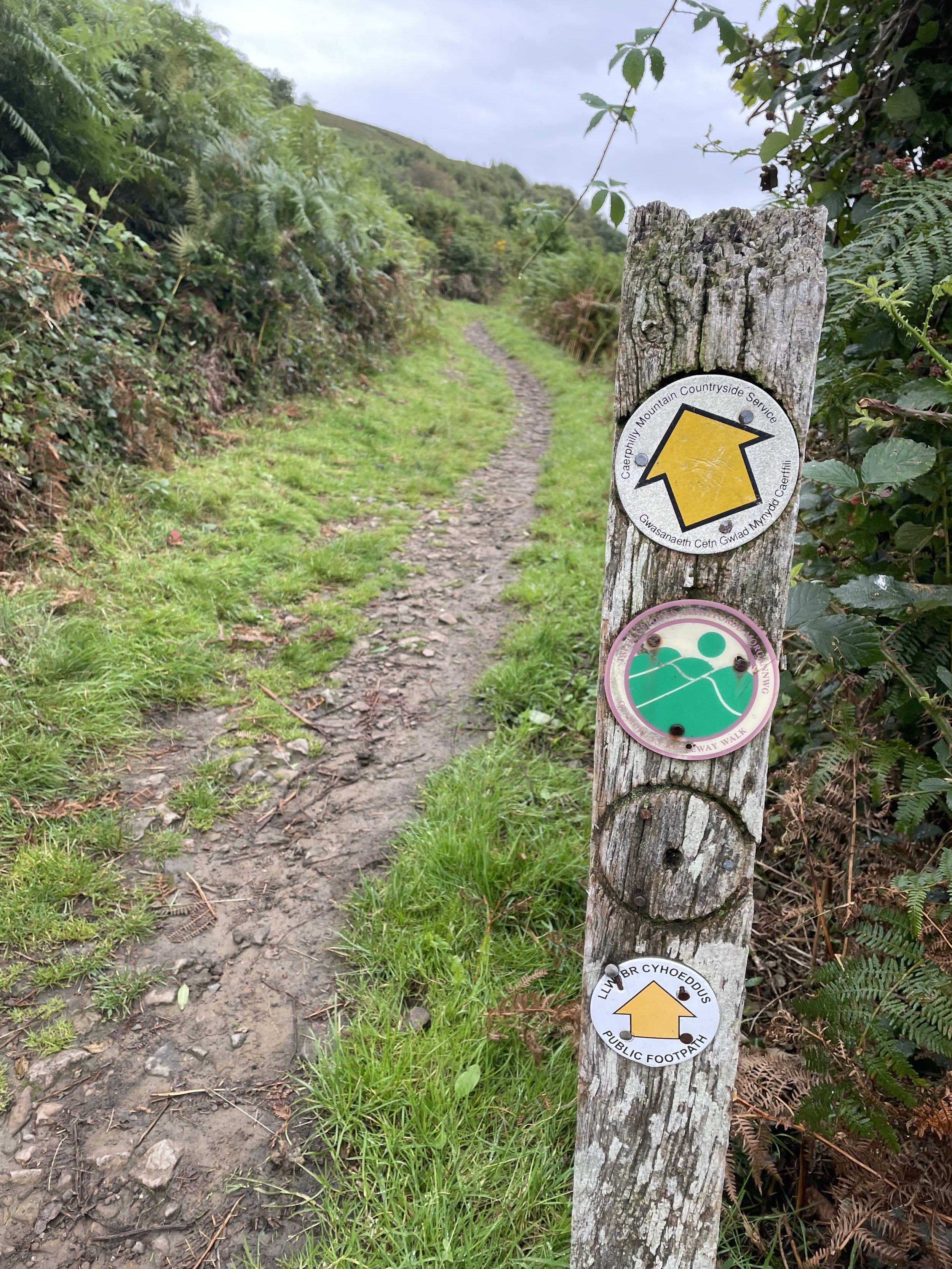
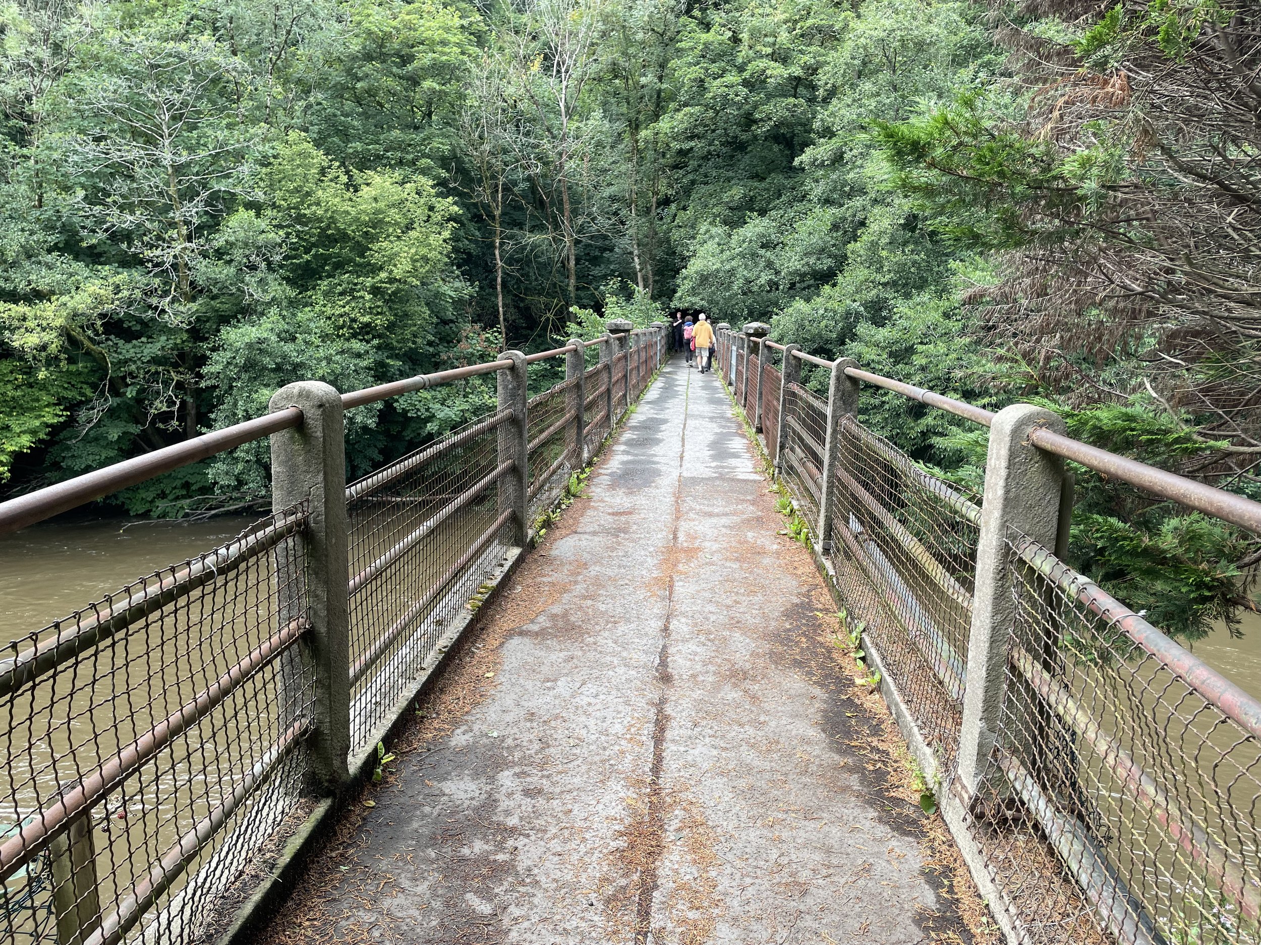
Taff’s Well Station is an obvious place to start the walk but as I was driving I managed to save 1 km each way by parking on the road outside The Taff’s Well Inn. From here there’s a path that crosses the River Taff before climbing steeply up to Main Road. Take a right onto Main Road and then, just in front of The Gwaelod-y-Garth Inn, take a left up Route des Alpes road. Continue up Route des Alpes, gradually ascending for 1 km until you reach a path that takes a sharp right hand turn towards the north-east away from the road. Continue up the path and curve round to the north-west to the trig pillar at the summit.
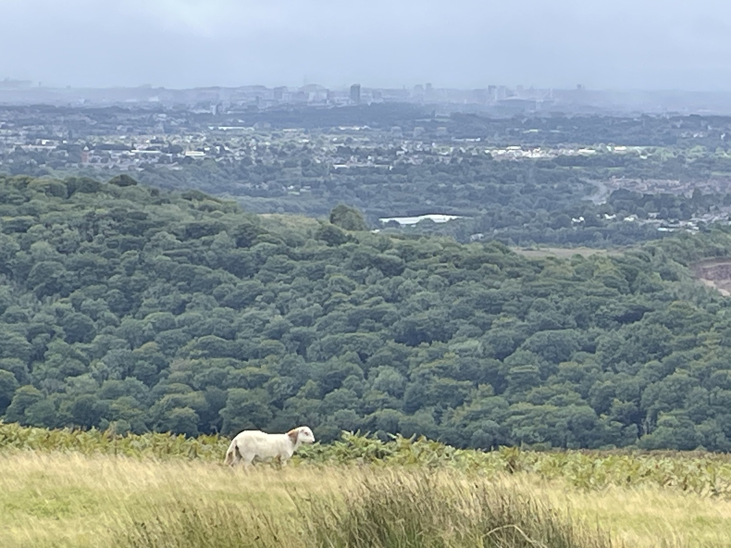
For the descent retrace your steps to the start but take a few moments, 1km from the summit, to visit the cliff edge view over Taff’s Well and along the Taff Valley toward Cardiff. Shortly after the view-point there’s a path leading directly down to Route des Alpes road. I decided to take this rather than the longer route I came up with. It turned out to be very steep and, after a lot of recent rain, very slippery. I got down but mostly by sliding down on my arse grabbing hold of any heather I could find. It’s definitely a shorter route but not necessarily quicker and, if I were to do it again, I would avoid it in favour of returning via the same route I had come up on.
One peak completed … now on to Tair Onnen in the Vale of Glamorgan.