Cycling The Prime Meridian Part 1 - Peacehaven to Waltham Abbey

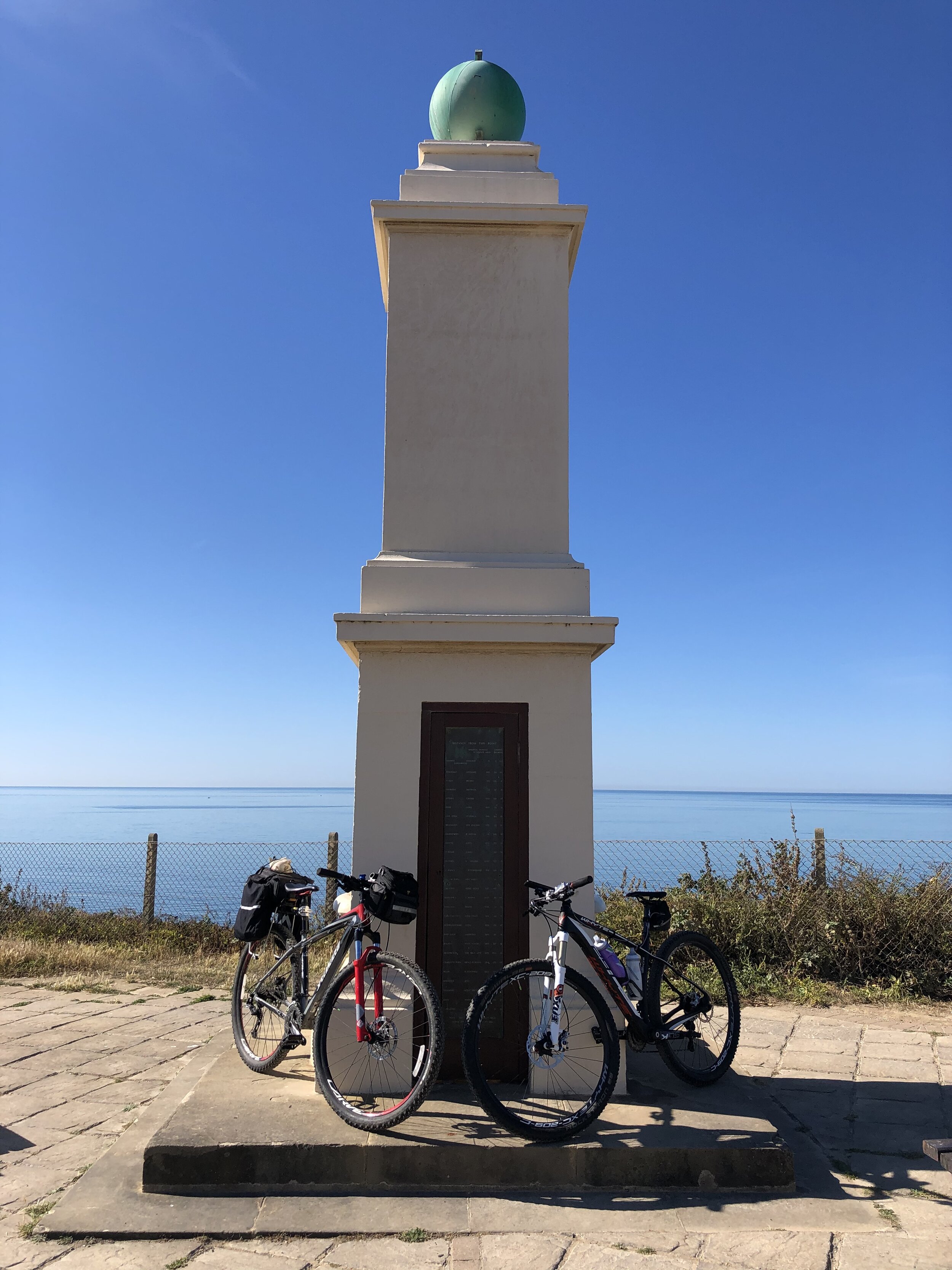
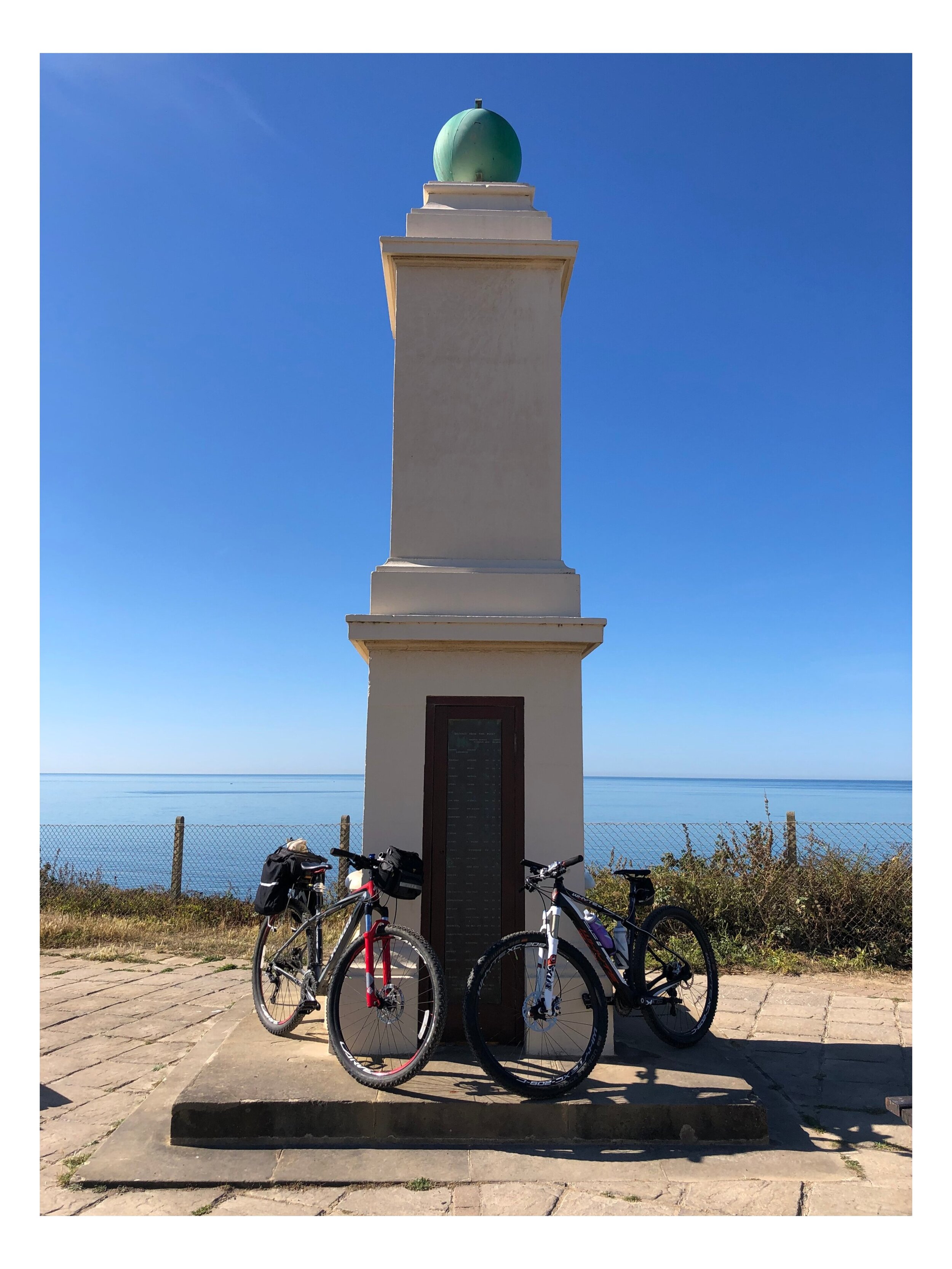
Obelisk at Peacehaven
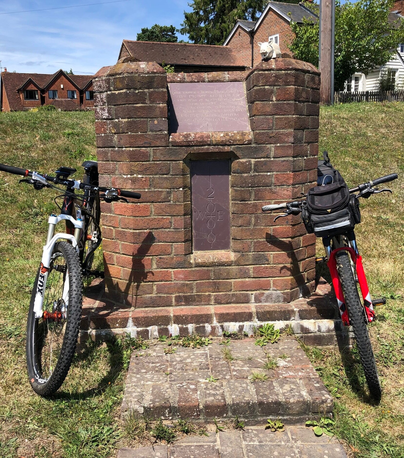
The Prime Meridian, also known as the Greenwich Meridian, is the famous line of longitude historically defined as 0°. It is the invisible line that divides East and West. It is also a line that I asked myself last Christmas: "Can that actually be cycled?" The short answer is "no," because it is a dead-straight line with an awful lot of buildings, forests, and fields inconveniently placed across its path! You can cycle remarkably close to it, however, so that is exactly what we did.
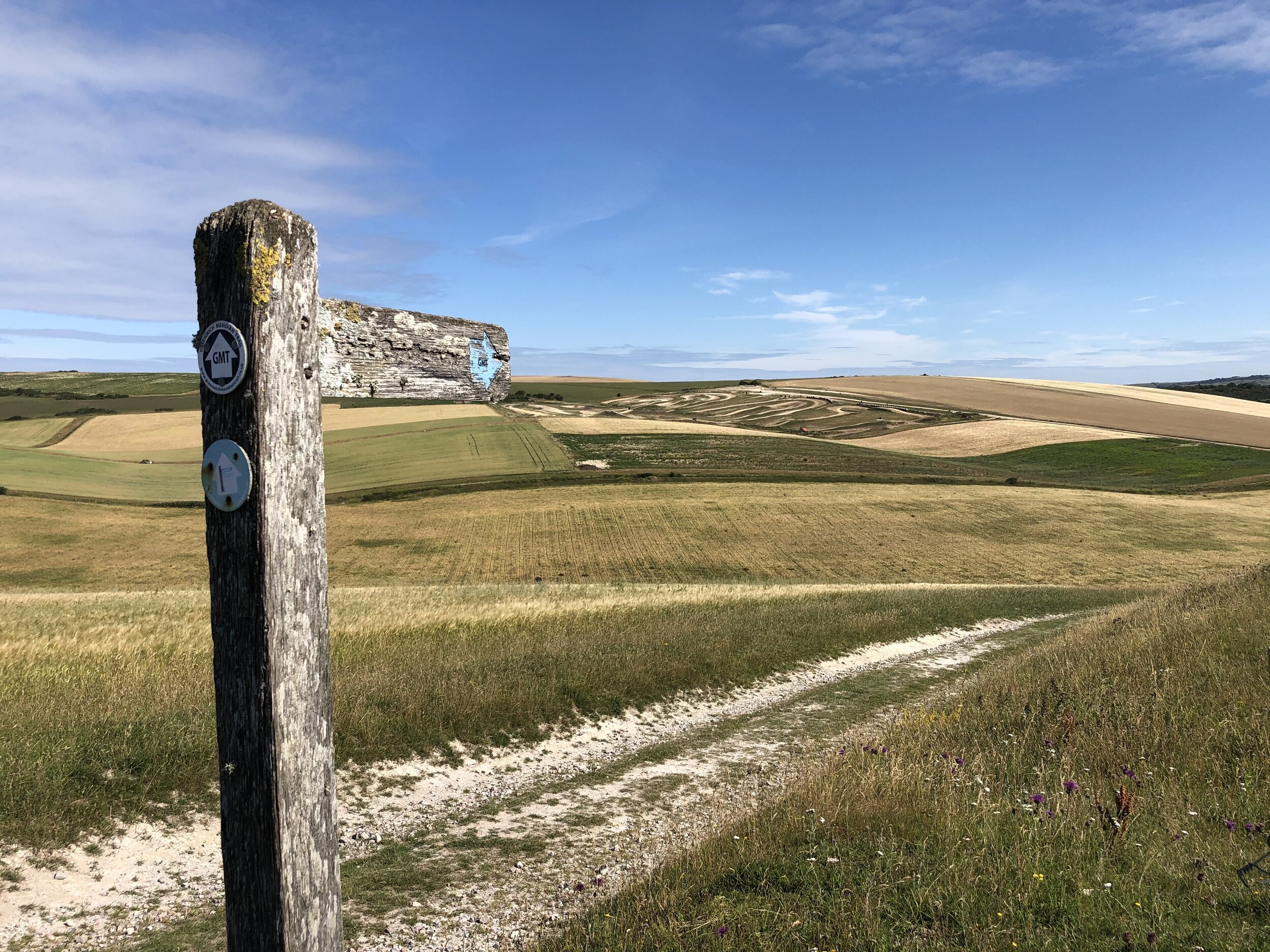
If you want to walk the route, there is a wonderfully well-signed path called the Greenwich Meridian Trail. The trail is also brilliantly described in a series of four books by Graham and Hilda Heap. The cycle route that I designed stays as close to the Prime Meridian as possible, while avoiding muddy footpaths and opting for quieter country roads over busy main carriageways. Even if you are cycling rather than walking, I highly recommend picking up the Greenwich Meridian Trail books, as they are a fantastic guide to all the quirky, historical things to see along the way.
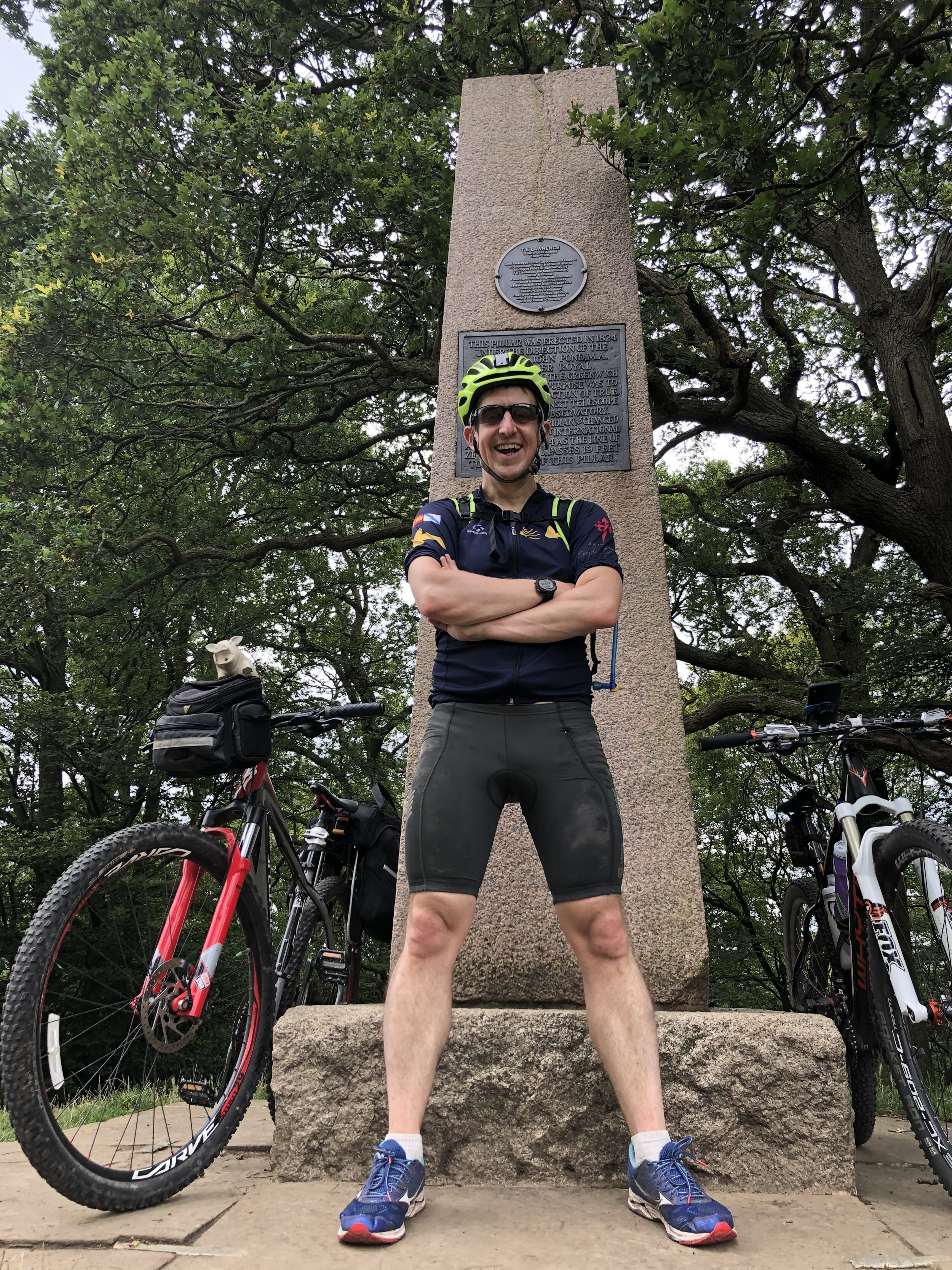
(A fun navigational fact to bear in mind: the historic monuments you pass along the way mark the 1884 Airy Transit Circle line. However, if you check your modern GPS, you will find that "0°0'0" actually lies about 102 metres to the east, thanks to slight differences in how satellite mapping measures the Earth's centre!)
For the first stage of our cycling trip, we started right down at the coast at Peacehaven, where the Meridian meets the sea at its most southerly point in the UK. From there, we headed north over two days up to Waltham Abbey, just north of the M25. The rest of the route up the country came in later trips, eventually covering six days in total. See the main Prime Meridian post for the full route
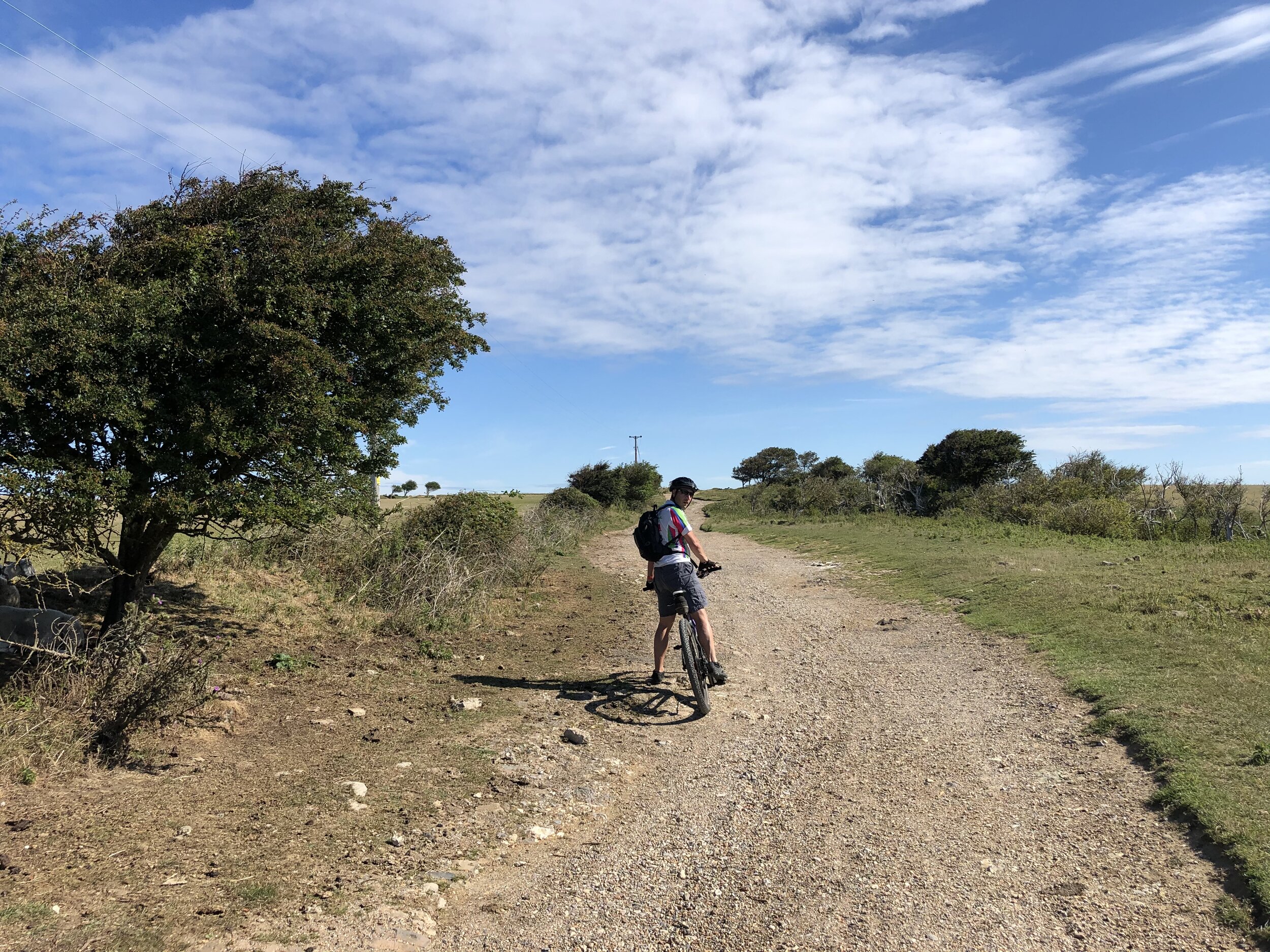
Day 1: Coast, Downs and Weald
Start: Prime Meridian Obelisk, 96 The Promenade, Peacehaven, BN10 8LN
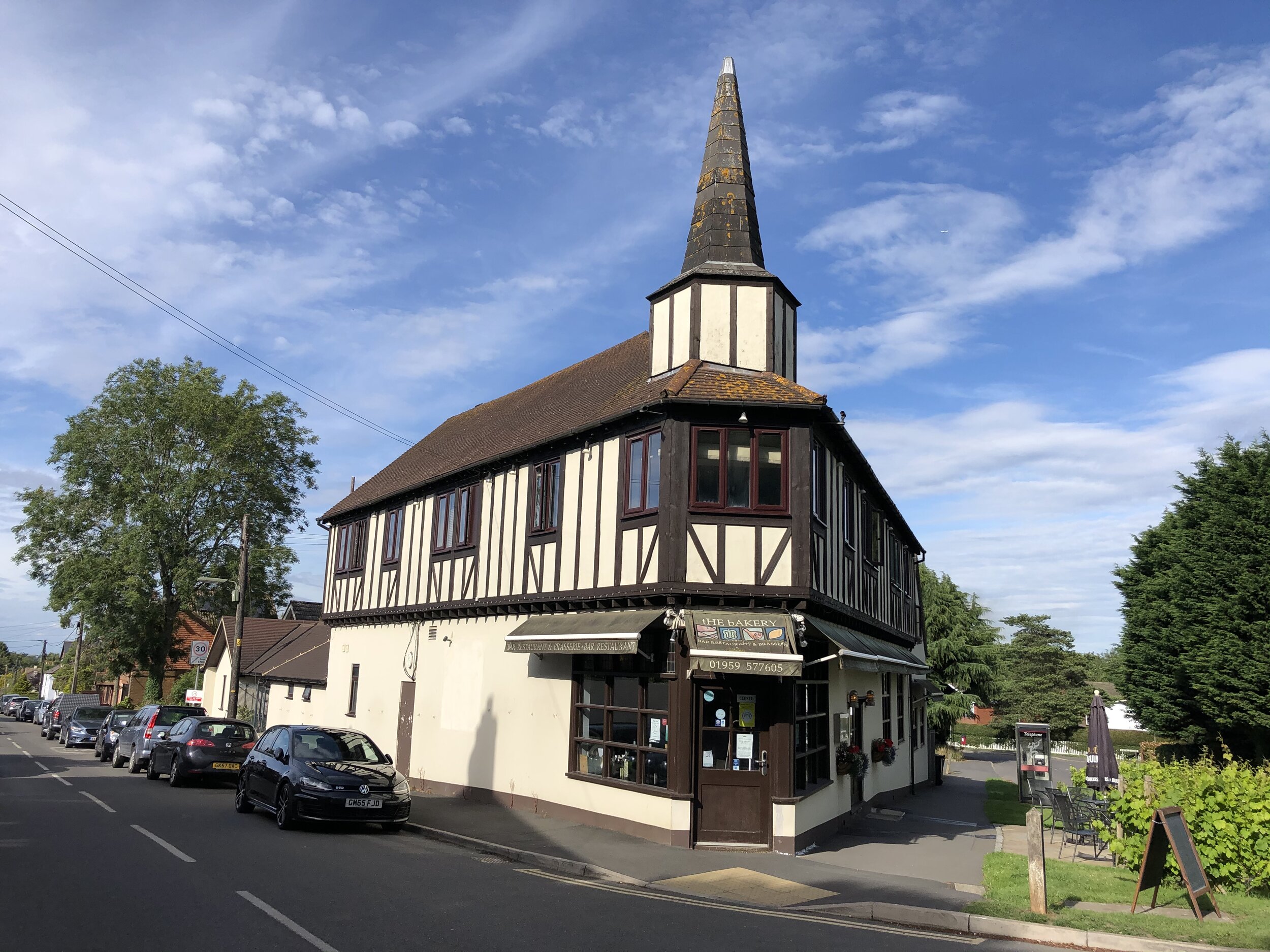
Finish: The Bakery Restaurant and Rooms, Westmore Road, Tatsfield, Westerham, TN16 2AG
Distance: 75 km (47 miles)
Elevation change: + 1,013m / - 812m (Net +201m)
GPX File: get via Buy Me a Coffee
Other routes touched (walk): Greenwich Meridian Trail, Newhaven-Brighton Clifftop Path, South Downs Way, Sussex Ouse Valley Way, Forest Way, High Weald Landscape Trail, Mid Sussex Link, Sussex Border Path, Tandridge Border Path, Greensand Way, Vanguard Way, North Downs Way
Other routes touched (cycle): NCN 2, 21
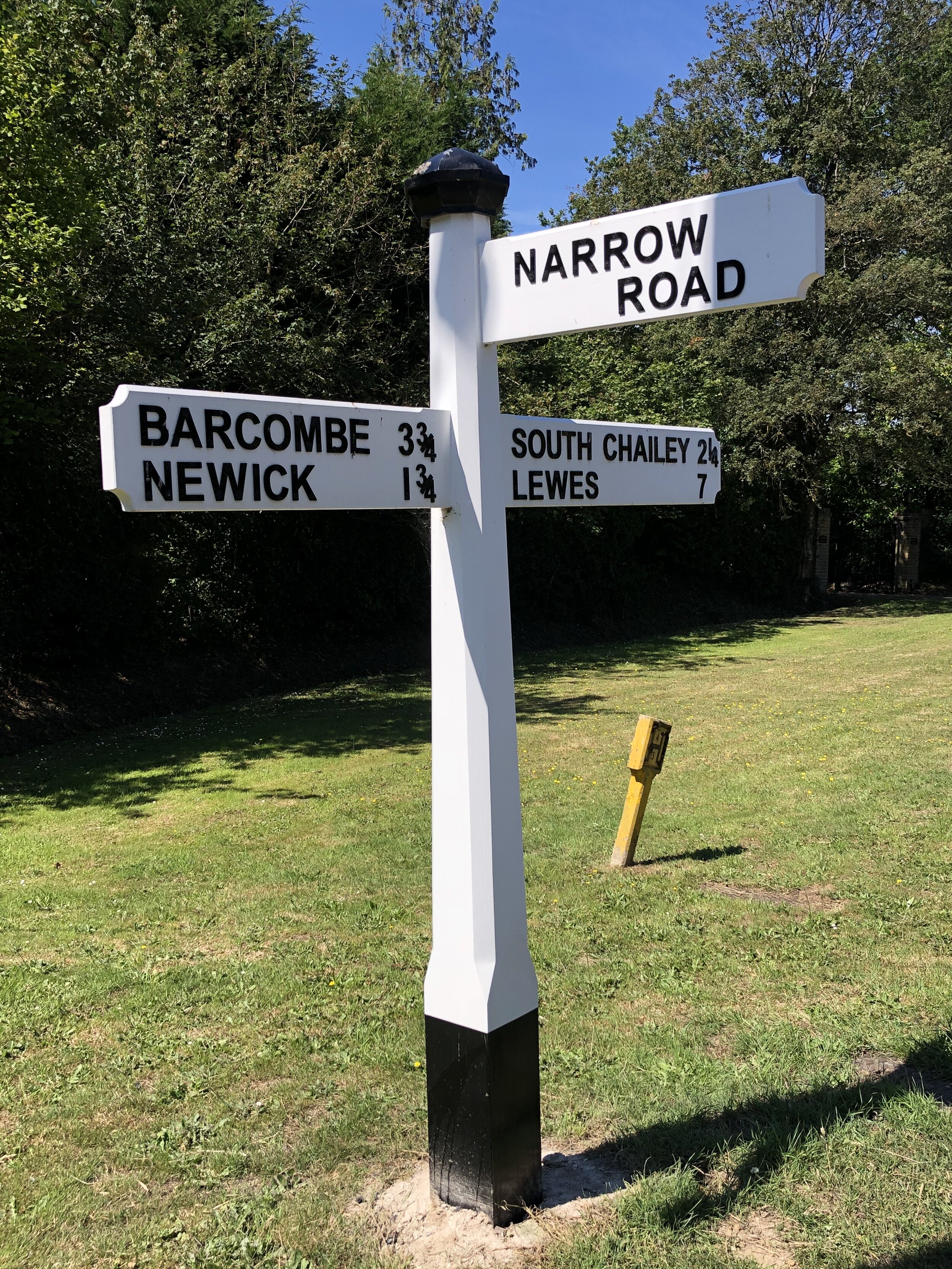
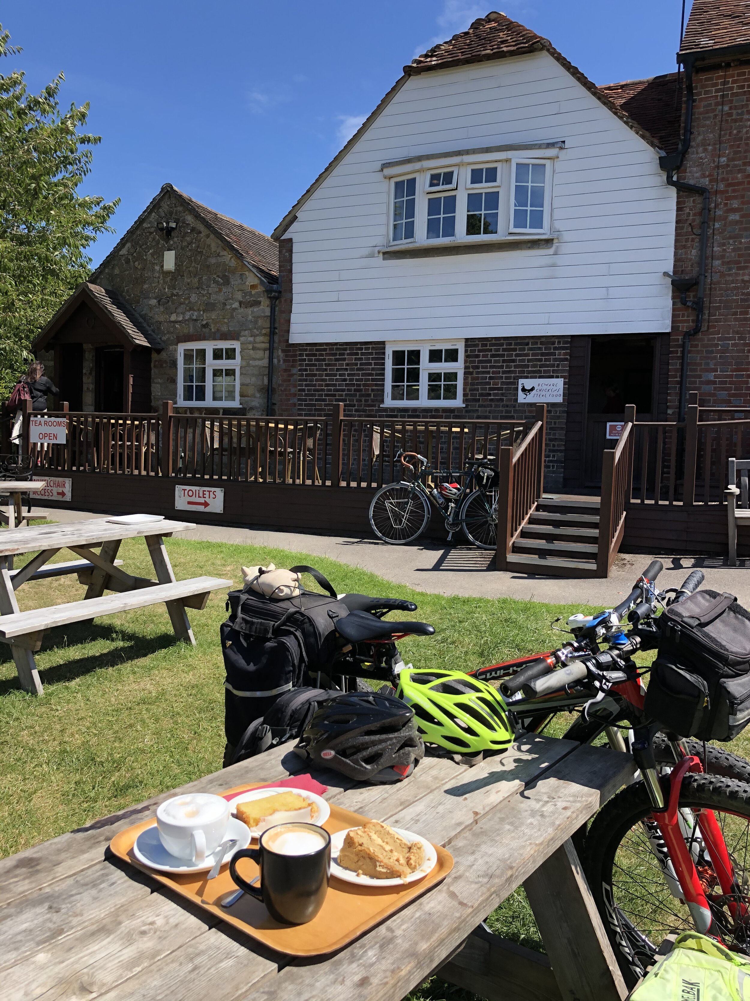
Pubs / Cafes on route: Lots, but I recommend The Stable Tea Rooms, Heaven Farm, Furner's Green, Uckfield TN22 3RG (at km 34)
Maps:
- OS Explorer OL11 Brighton & Hove Map
- OS Explorer Map (135) Ashdown Forest Map
- OS Explorer Map (146) Dorking, Box Hill and Reigate Map
- OS Explorer Map (161) London South, Westminster, Greenwich, Croydon, Esher & Twickenham Map
Guidebook: Greenwich Meridian Trail Book 1: Peacehaven to Greenwich
Links: Wikipedia: Prime Meridian, The Greenwich Meridian, Greenwich Meridian Trail, Peacehaven, Prime Meridian Obelisk, Tatsfield
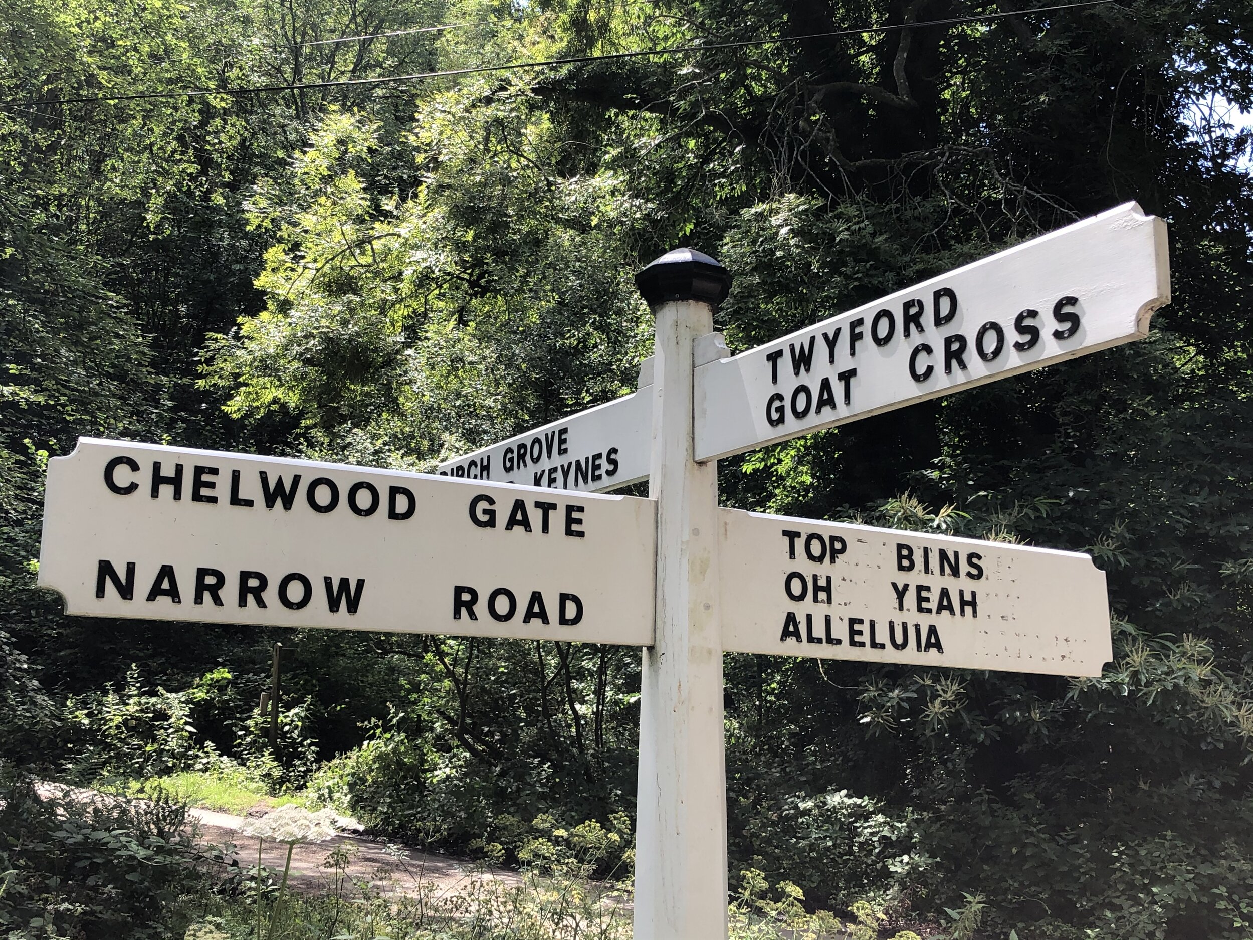
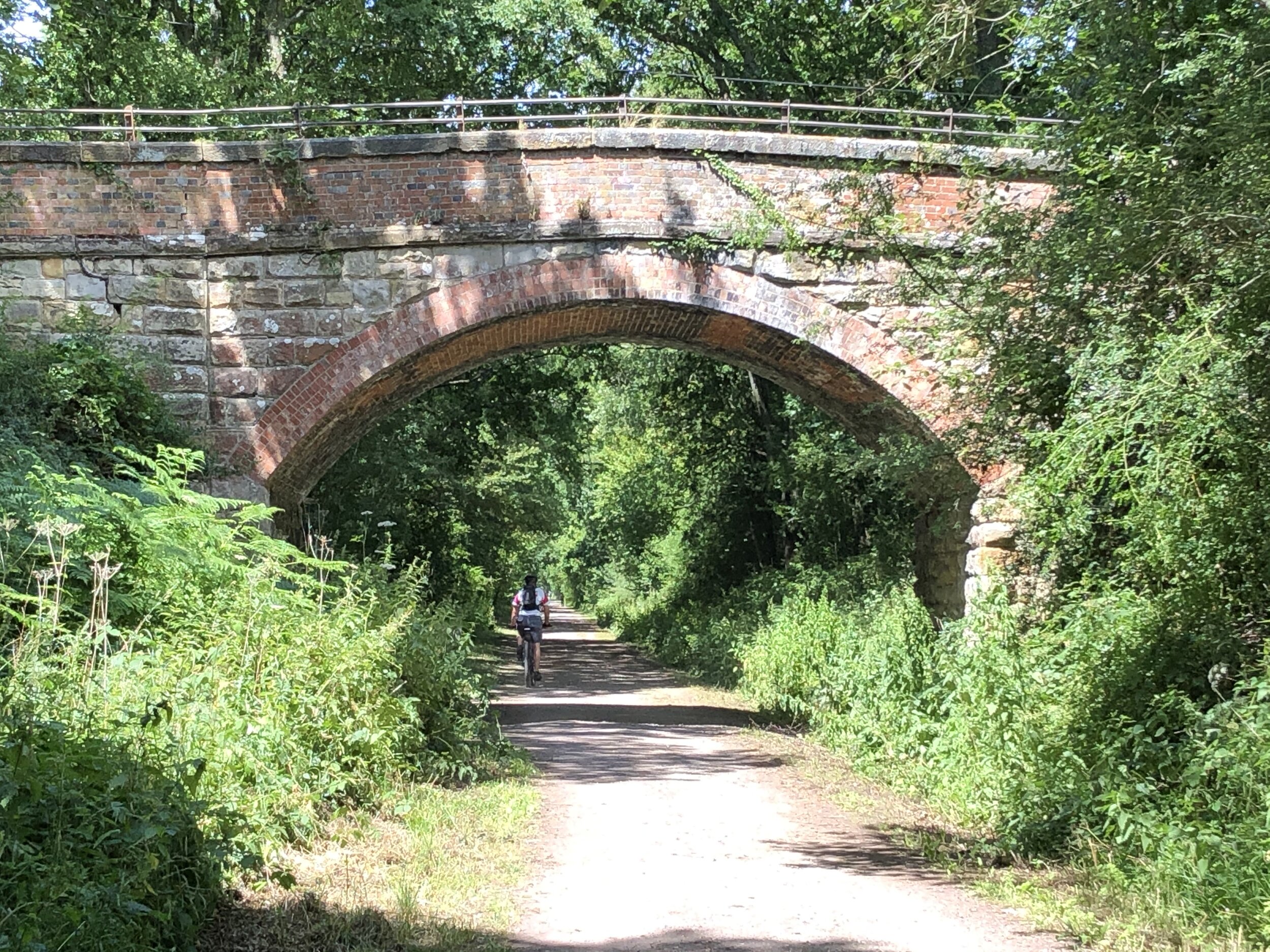
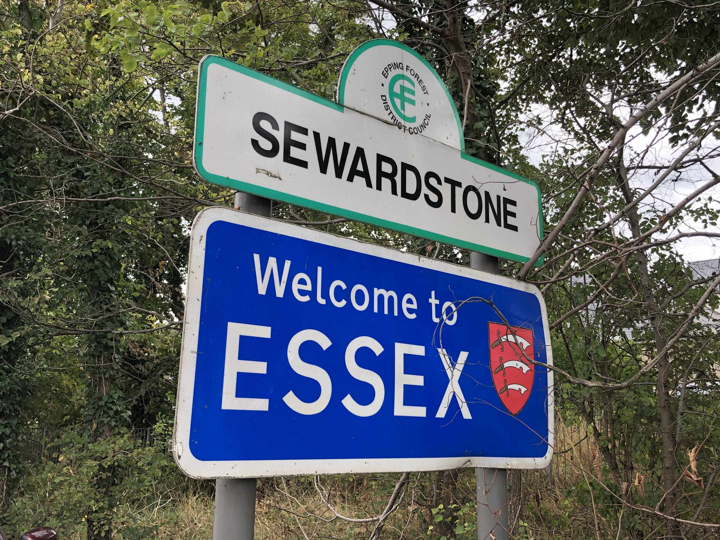
We began our journey at the gleaming white Prime Meridian Obelisk on the promenade at Peacehaven, pointing our bikes inland. This 47-mile first day takes you away from the coast, pushing up through the beautiful, rolling hills of the South Downs and the High Weald. It is a surprisingly hilly start to the adventure, crossing over several ancient drovers' routes and boundary paths, before finally finishing the day's climbing at the high ground in Tatsfield, Surrey.


Day 2: London
Start: The Bakery Restaurant and Rooms, Westmore Road, Tatsfield, Westerham, TN16 2AG
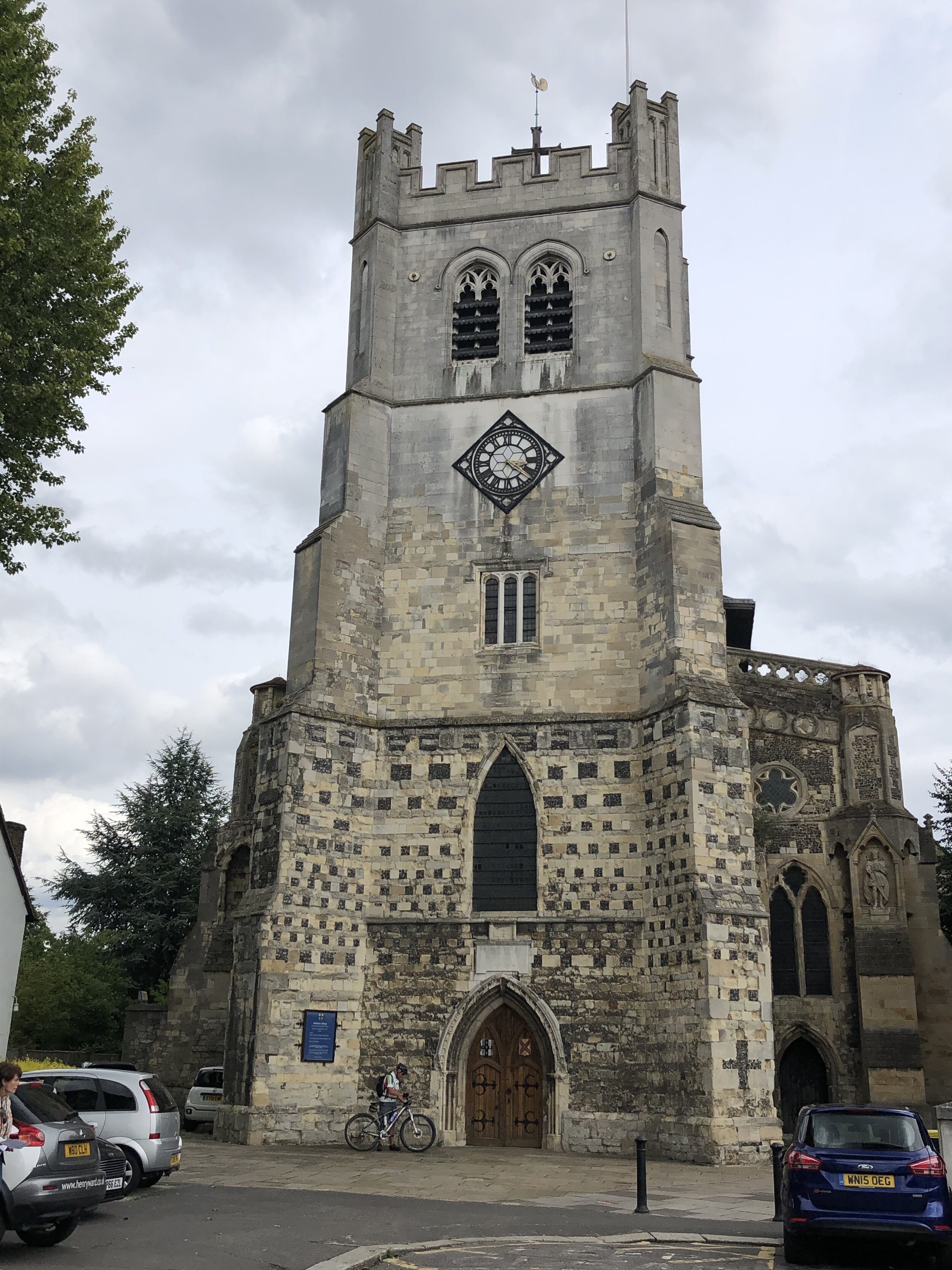
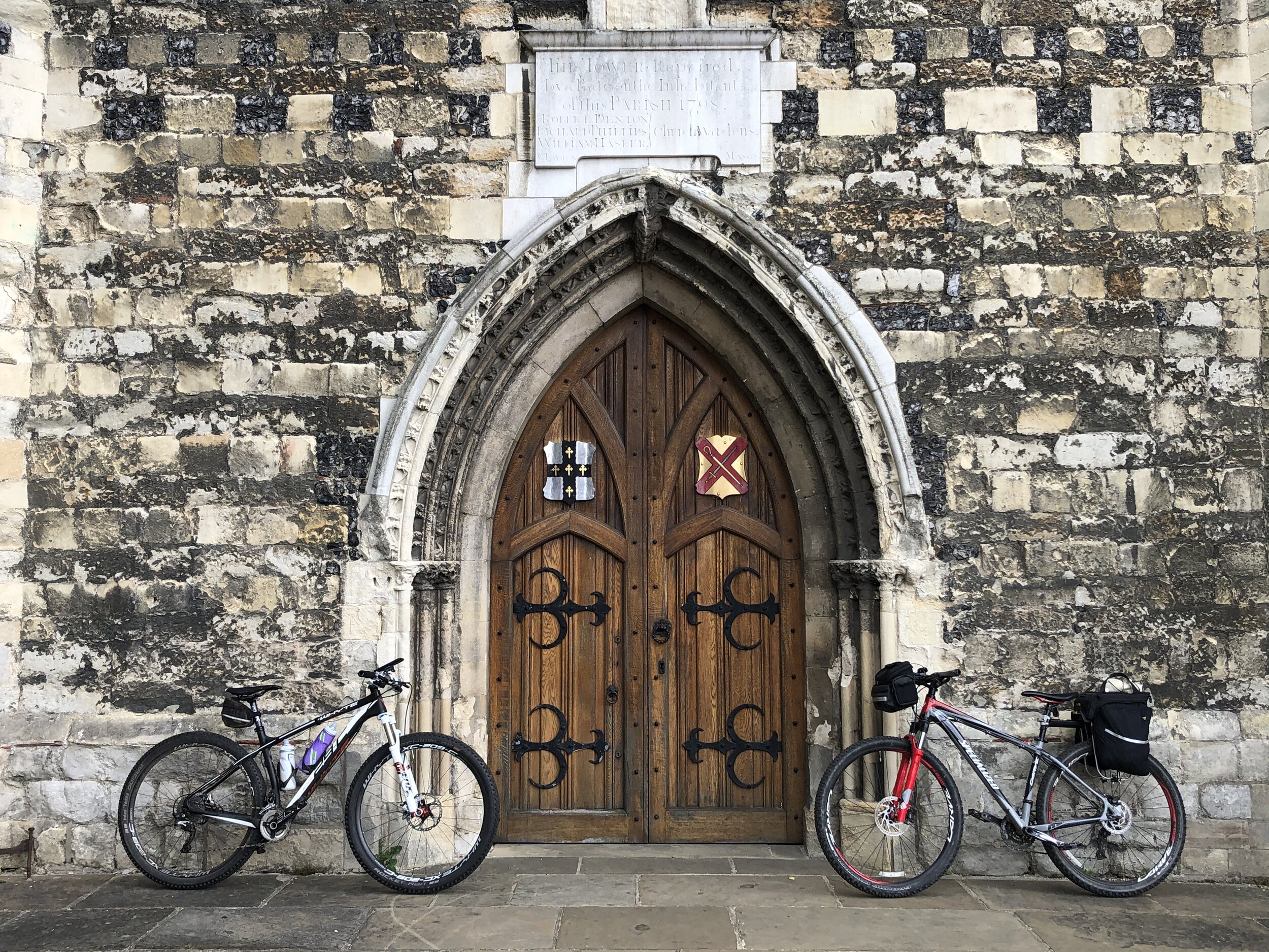
Finish: Waltham Abbey Church, 4 Church St, Waltham Abbey EN9 1DJ
Distance: 62.5 km (39 miles)
Elevation change: + 377m / - 585m (Net -208m)
GPX File: get via Buy Me a Coffee
Other routes touched (walk): Greenwich Meridian Trail, Tandridge Border Path, London Loop, Capital Ring, Waterlink Way, Lewisham Promenade, Thames Path, Lea Valley Walk, Jubilee Greenway, The Greenway.
Other routes touched (cycle): NCN 1, 13, 21, 4, CS2, CS3, CS16, CS23,
Pubs / Cafes on route: Lots, but I recommend The Breakfast Club, Queen Elizabeth Olympic Park, 29 East Bay Lane Canalside Here East, London E15 2GW
Maps:
- OS Explorer Map (161) London South, Westminster, Greenwich, Croydon, Esher & Twickenham Map
- OS Explorer Map (162) Greenwich and Gravesend Map
- OS Explorer Map (174) Epping Forest & Lee Valley Map
Guidebook: Greenwich Meridian Trail Book 1: Peacehaven to Greenwich and Greenwich Meridian Trail Book 2: Greenwich to Hardwick
Links: Wikipedia: Prime Meridian, The Greenwich Meridian, Greenwich Meridian Trail, Tatsfield, Royal Observatory Greenwich, Waltham Abbey
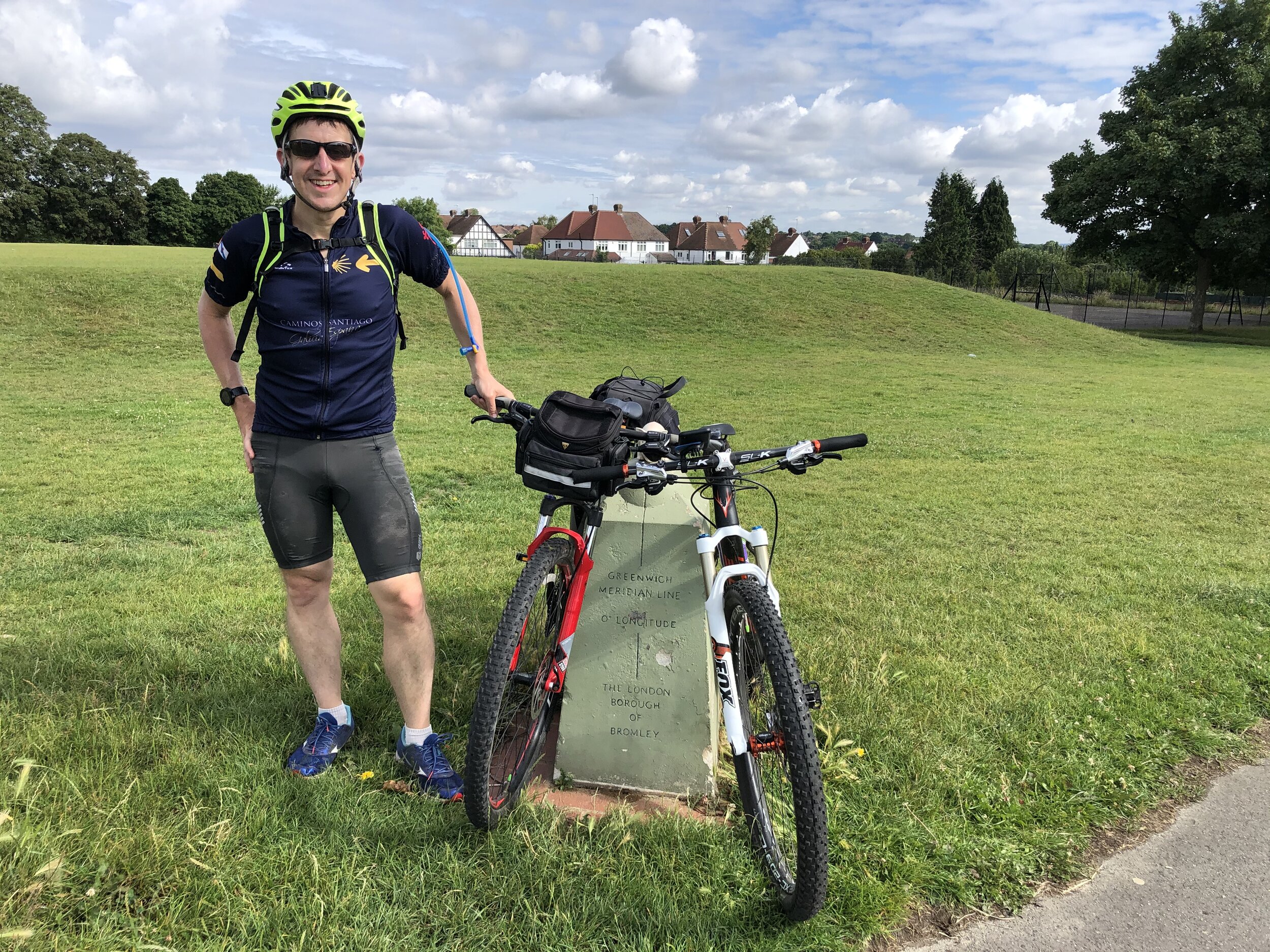
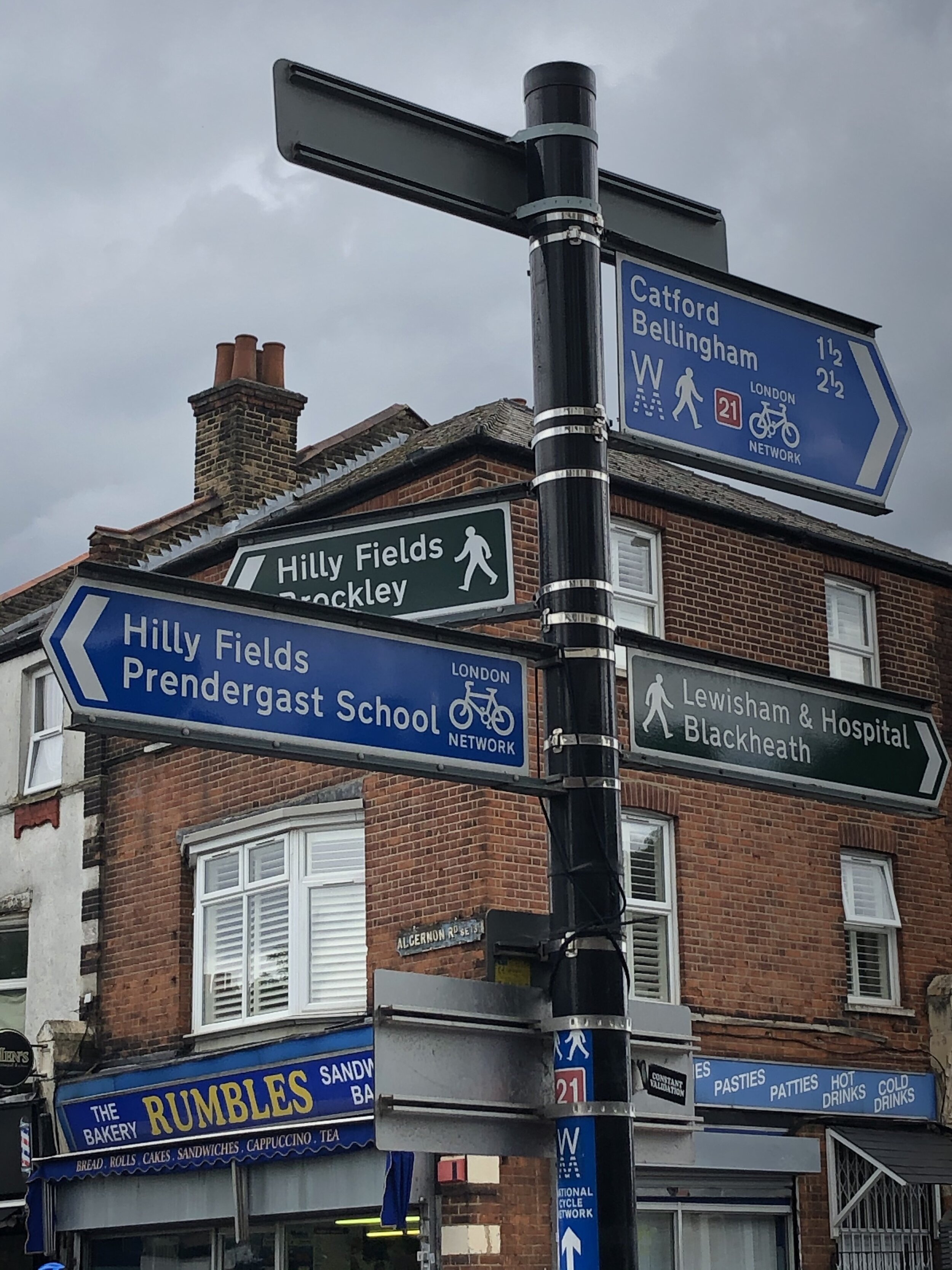
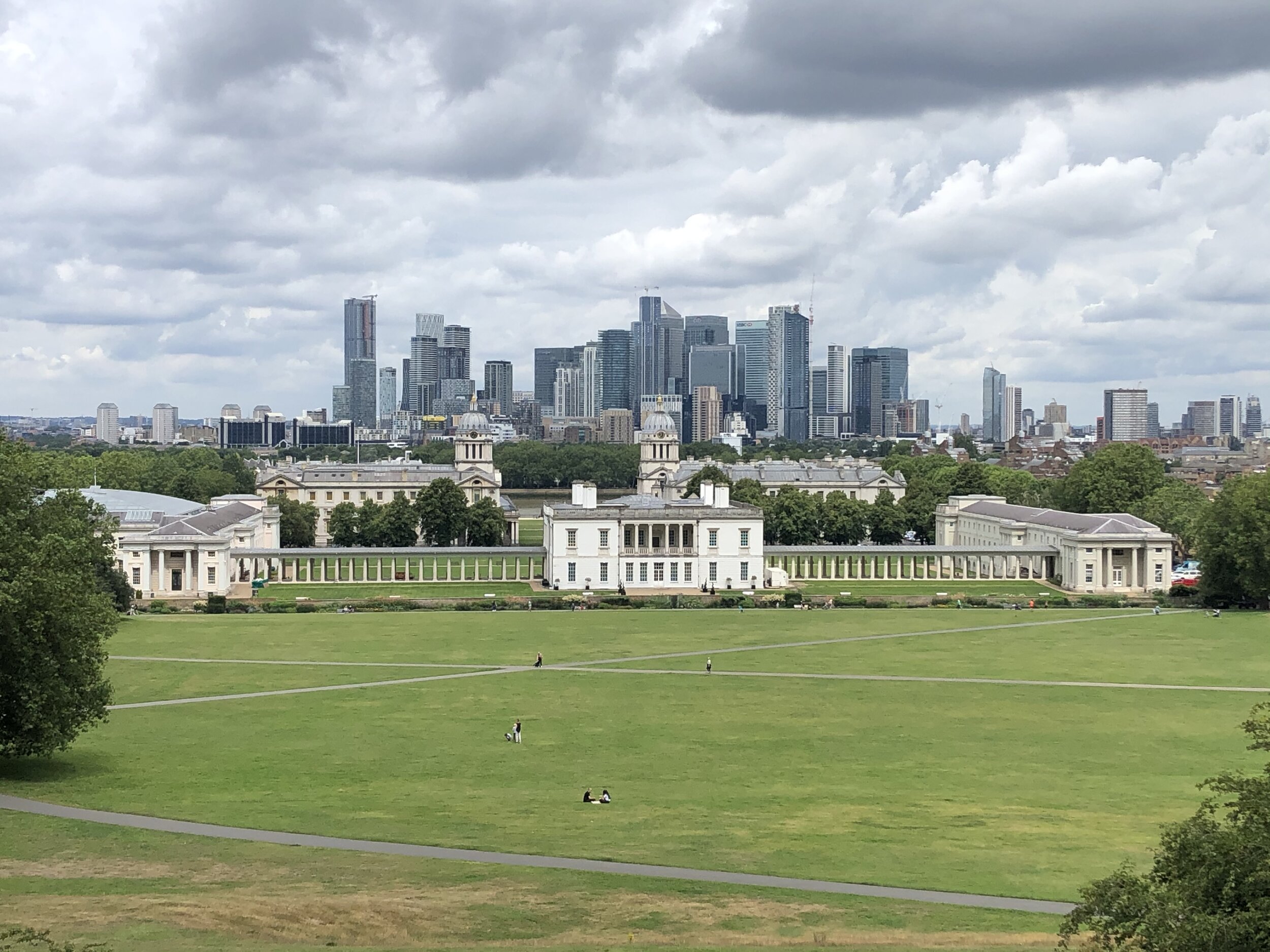
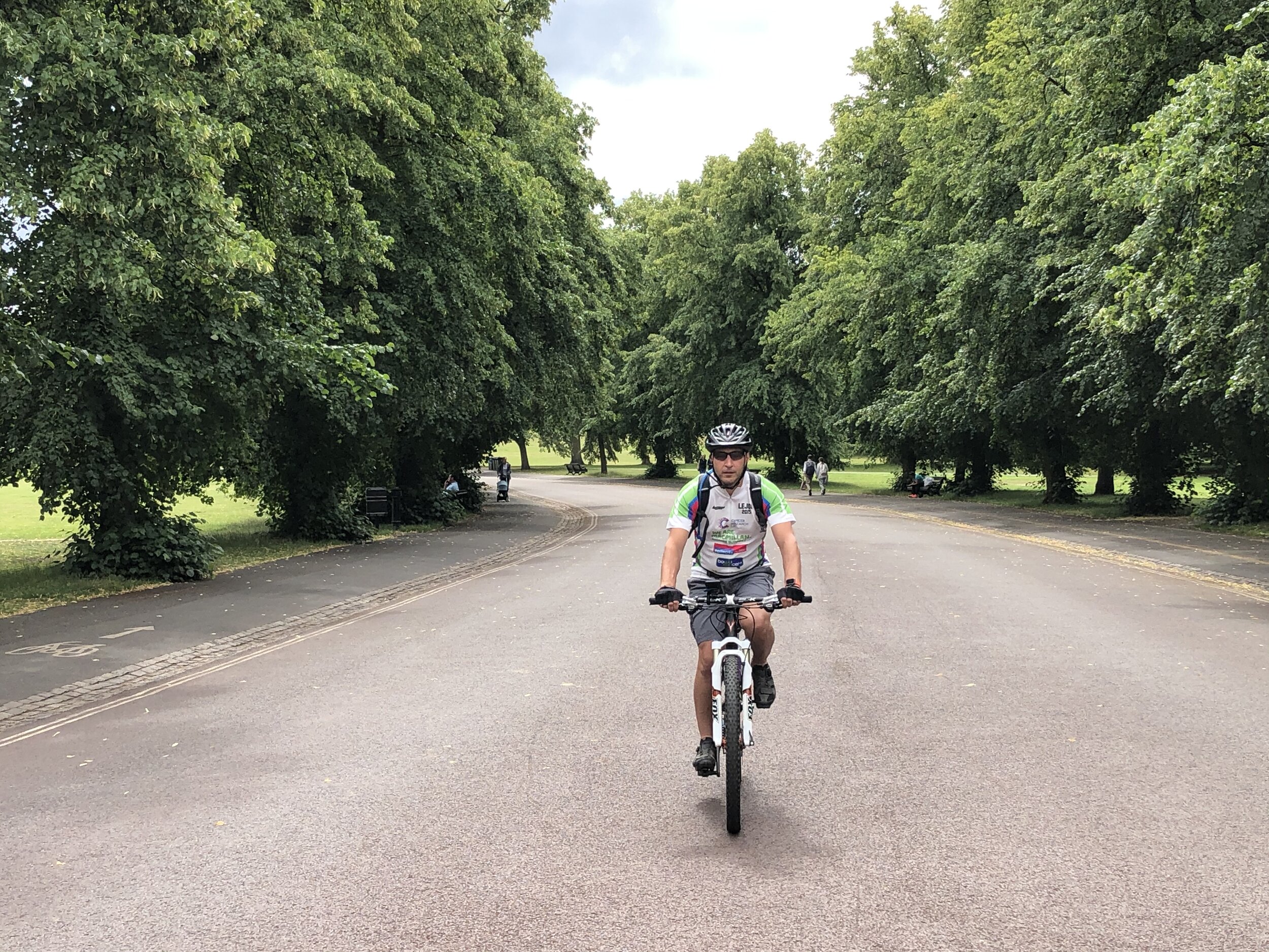
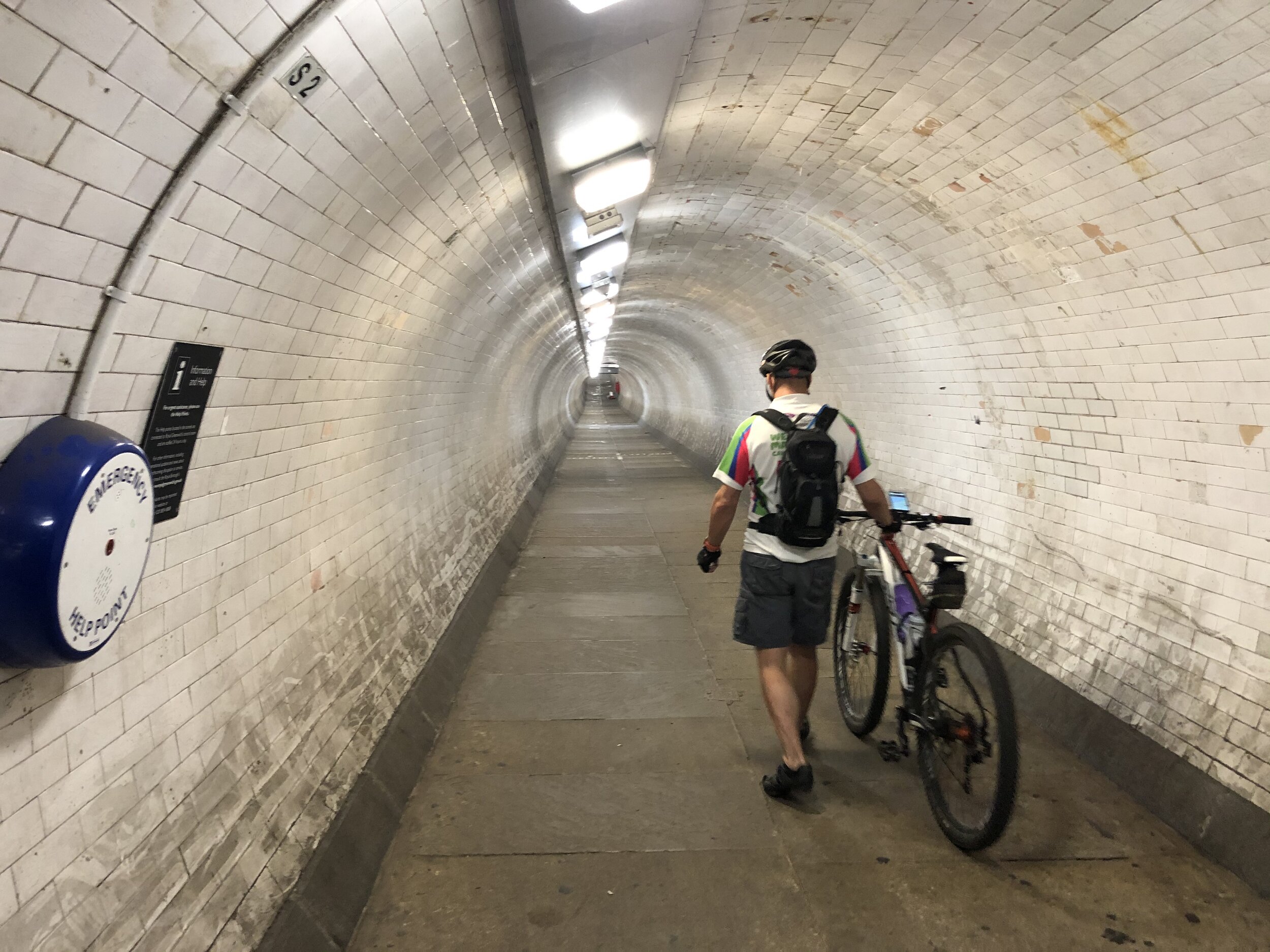
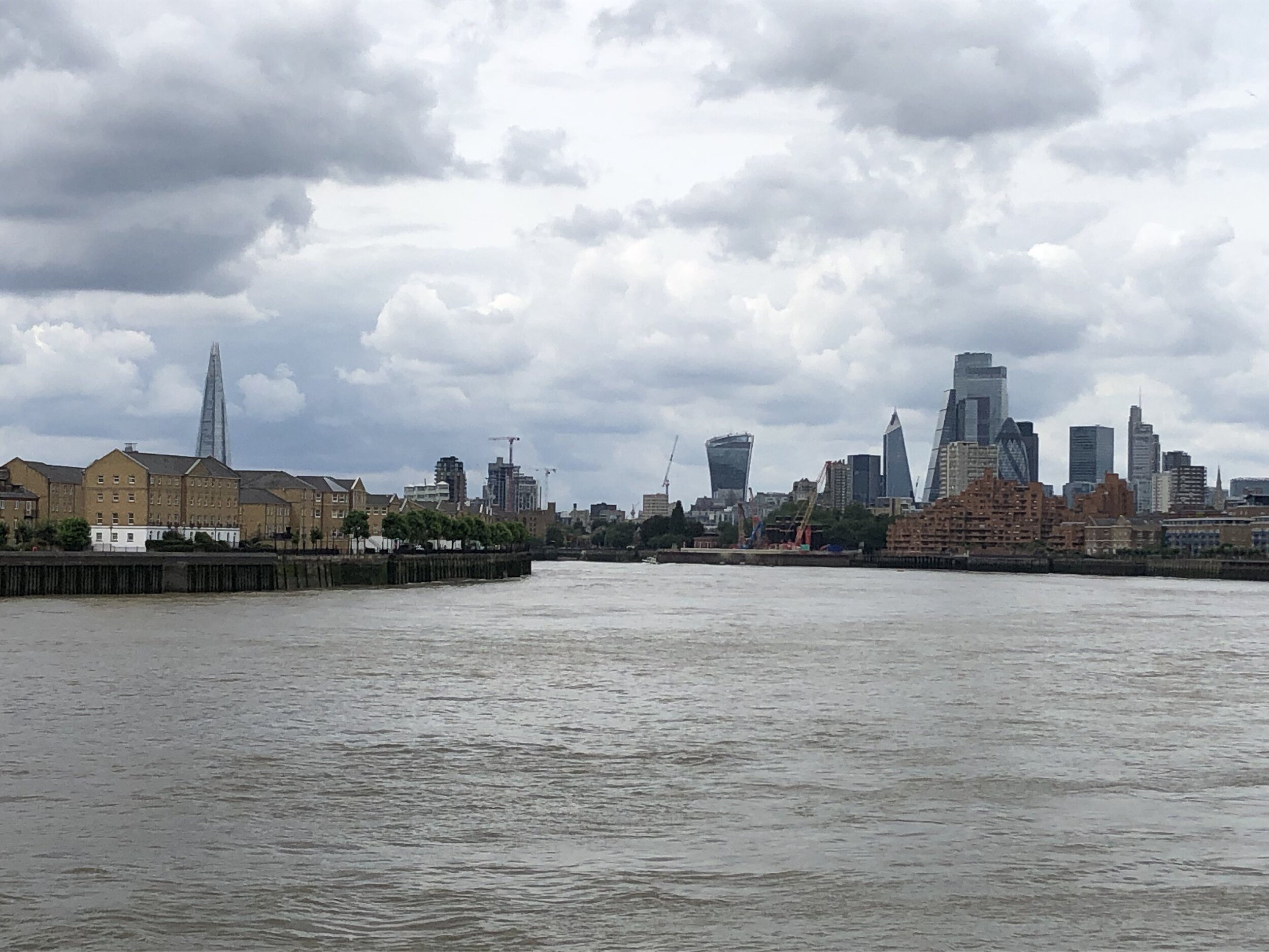
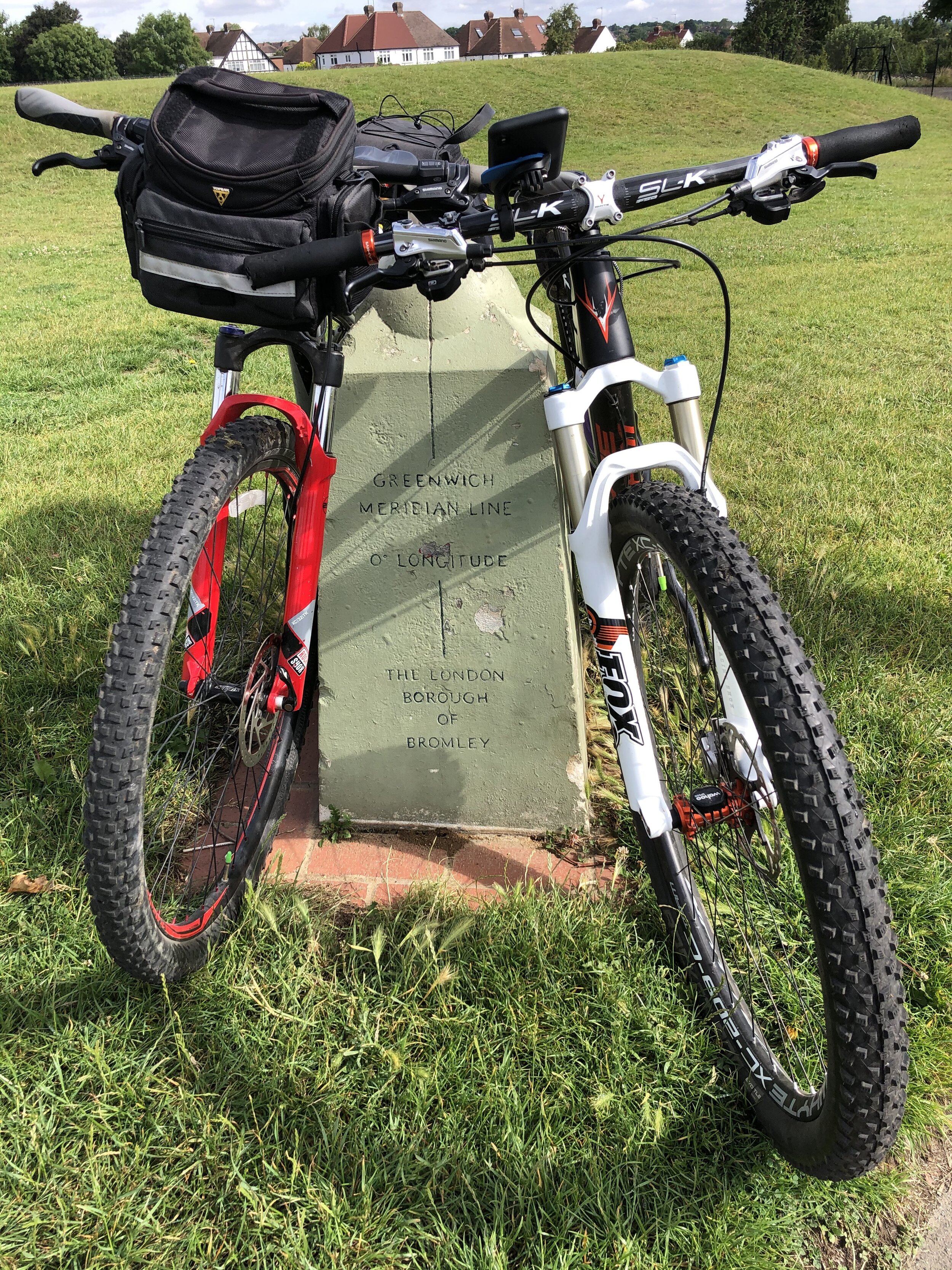
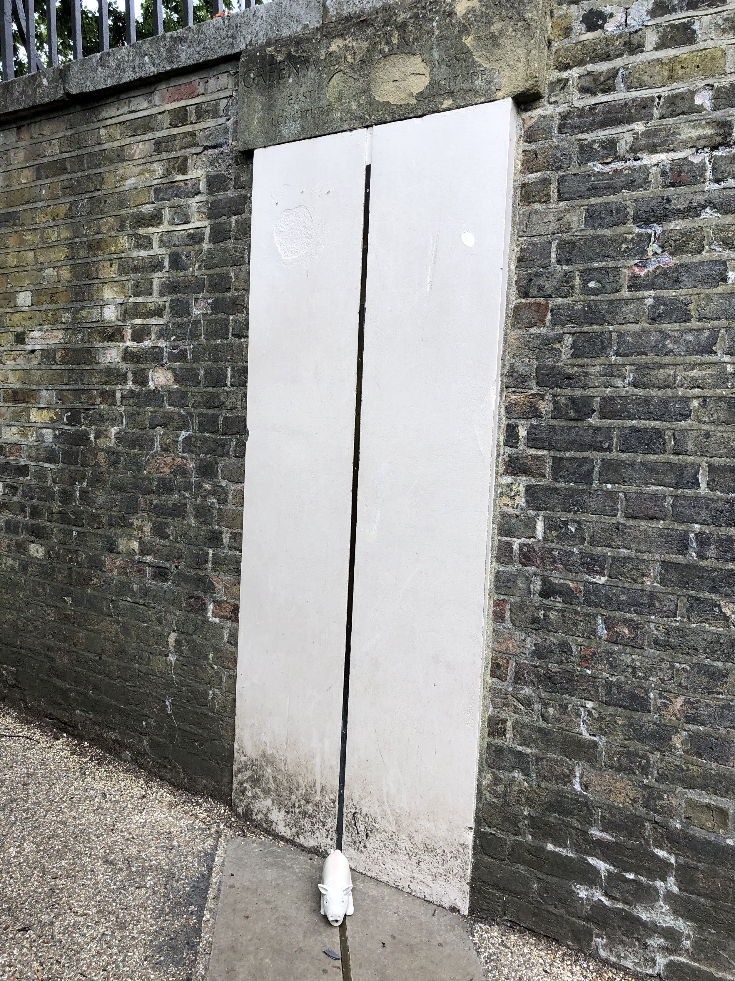
The second day offers a 39-mile ride through the heart of the capital. Dropping down from Tatsfield, the route weaves into the sprawling London footprint. You eventually cross the River Thames and pass right through the grounds of the Royal Observatory at Greenwich: the official home of the Prime Meridian itself, where you can literally stand with a bike wheel in both hemispheres!
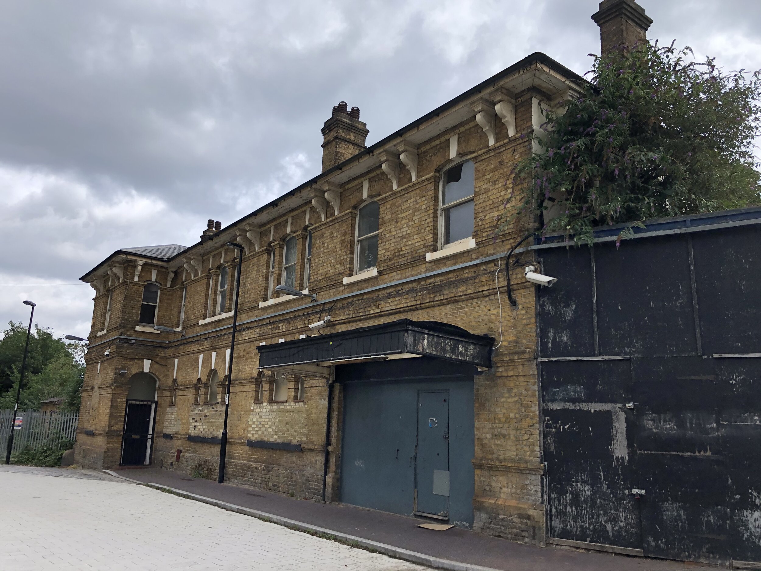
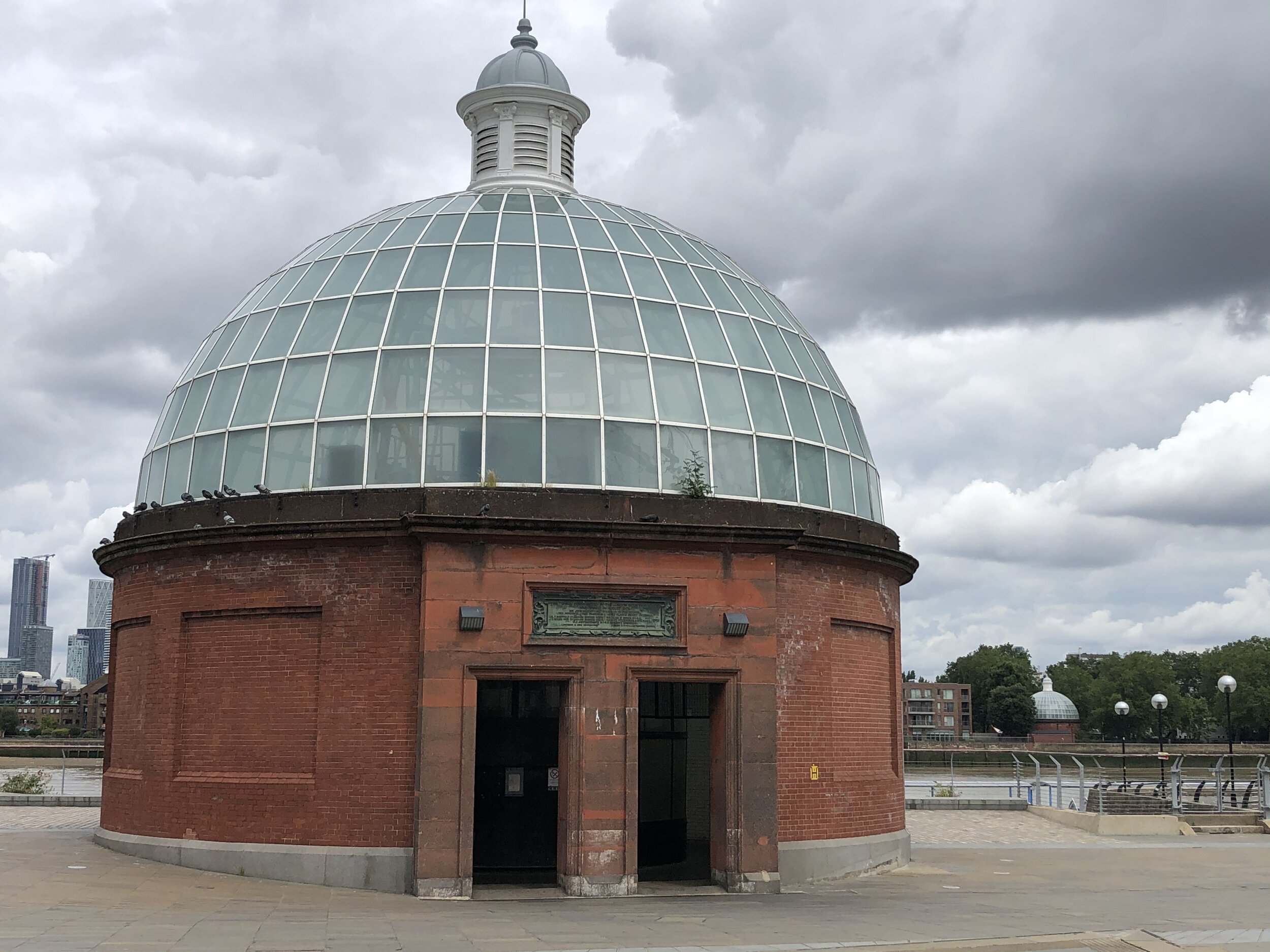
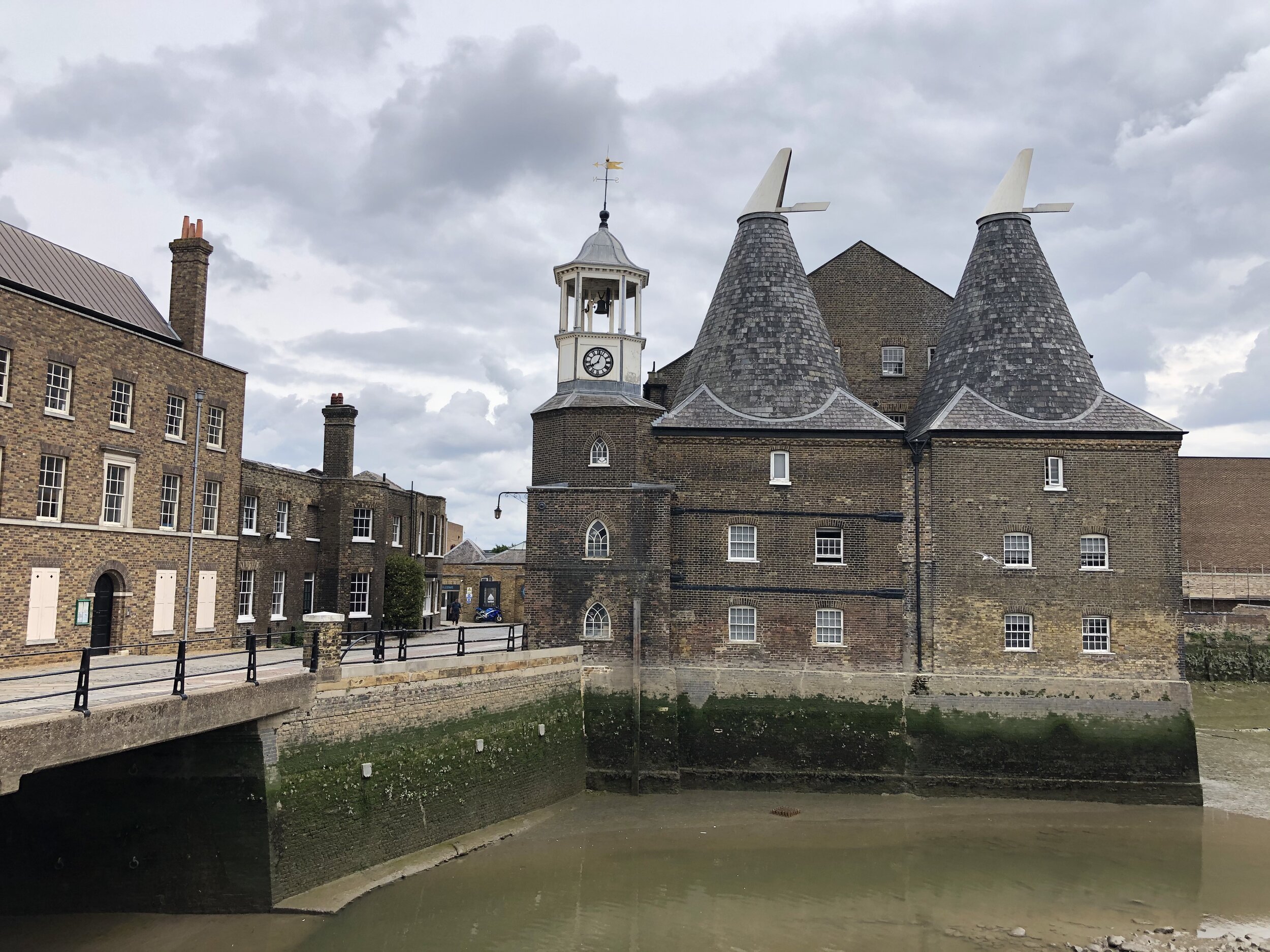
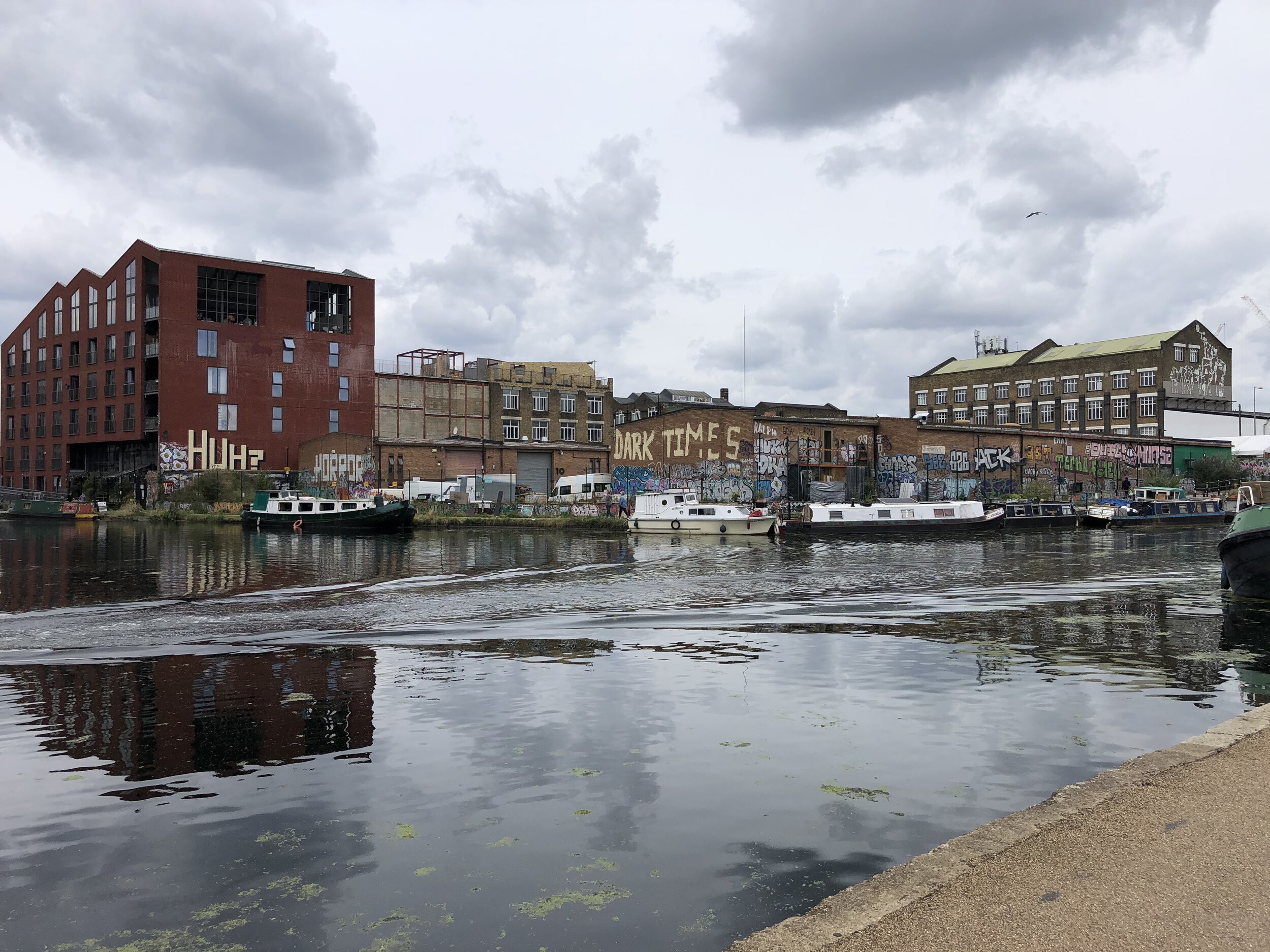
After navigating the brilliant, regenerated paths around the Queen Elizabeth Olympic Park, the route follows the River Lea north to our finish line at Waltham Abbey. The town has an incredible piece of meridian history: the line runs directly through the historic 12th-century Waltham Abbey Church, marked beautifully by a pavement mosaic just outside the walls.
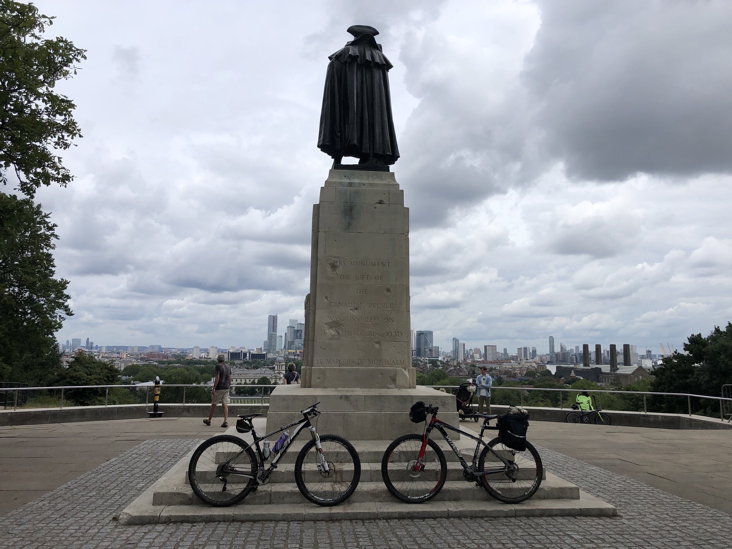
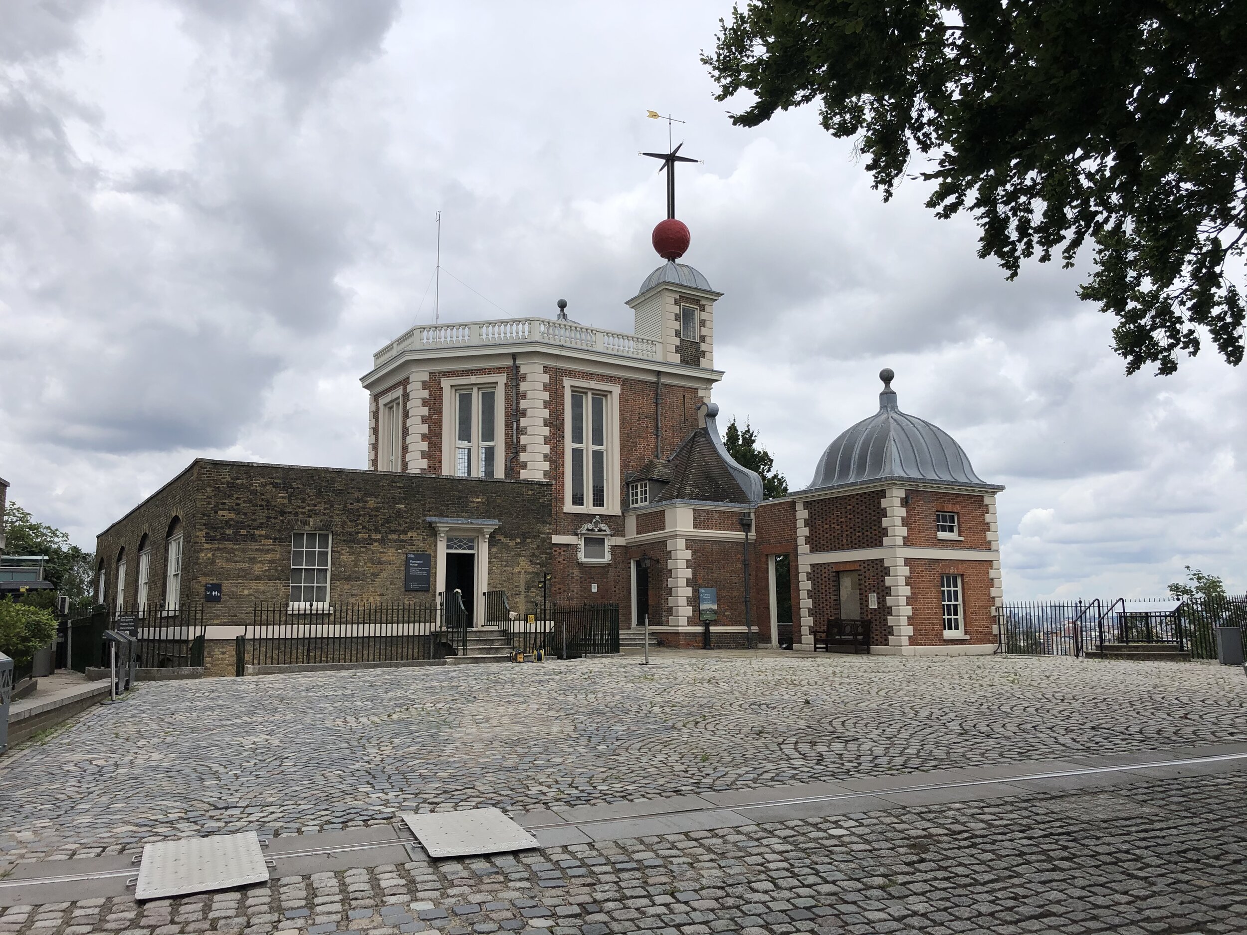
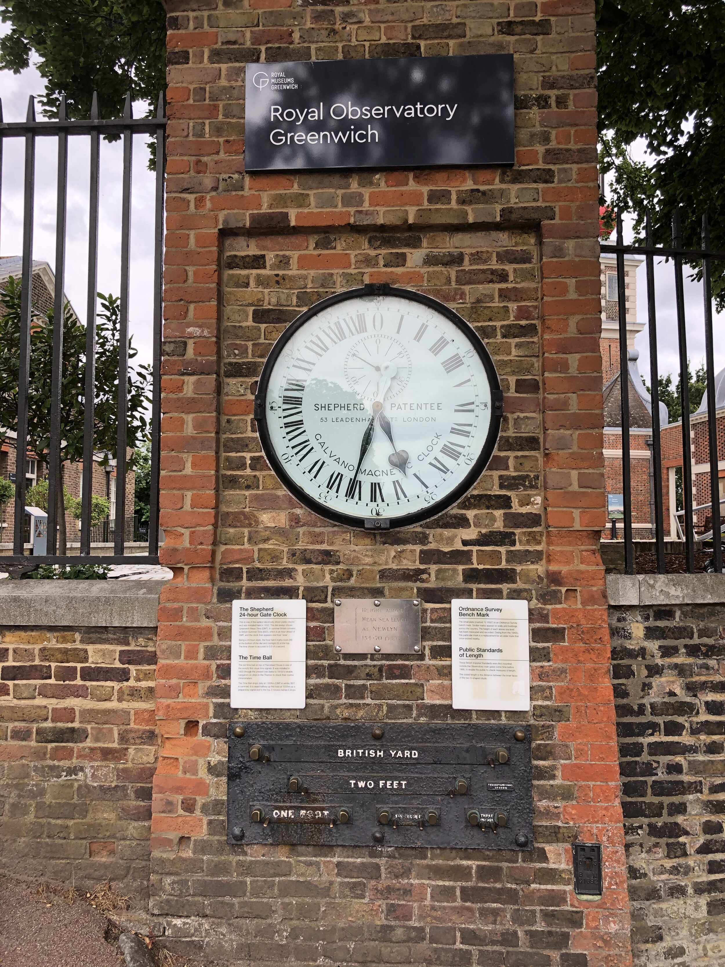
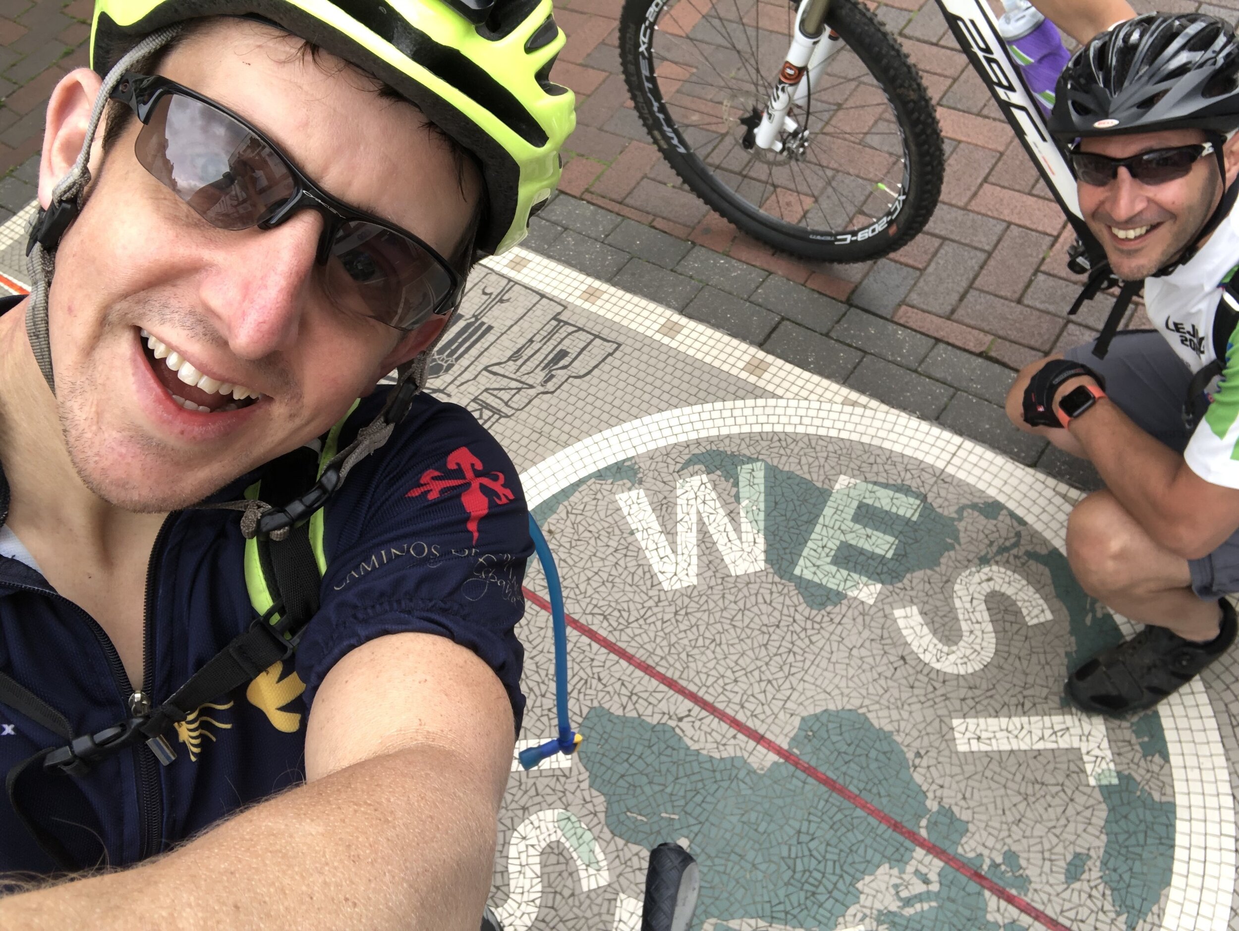
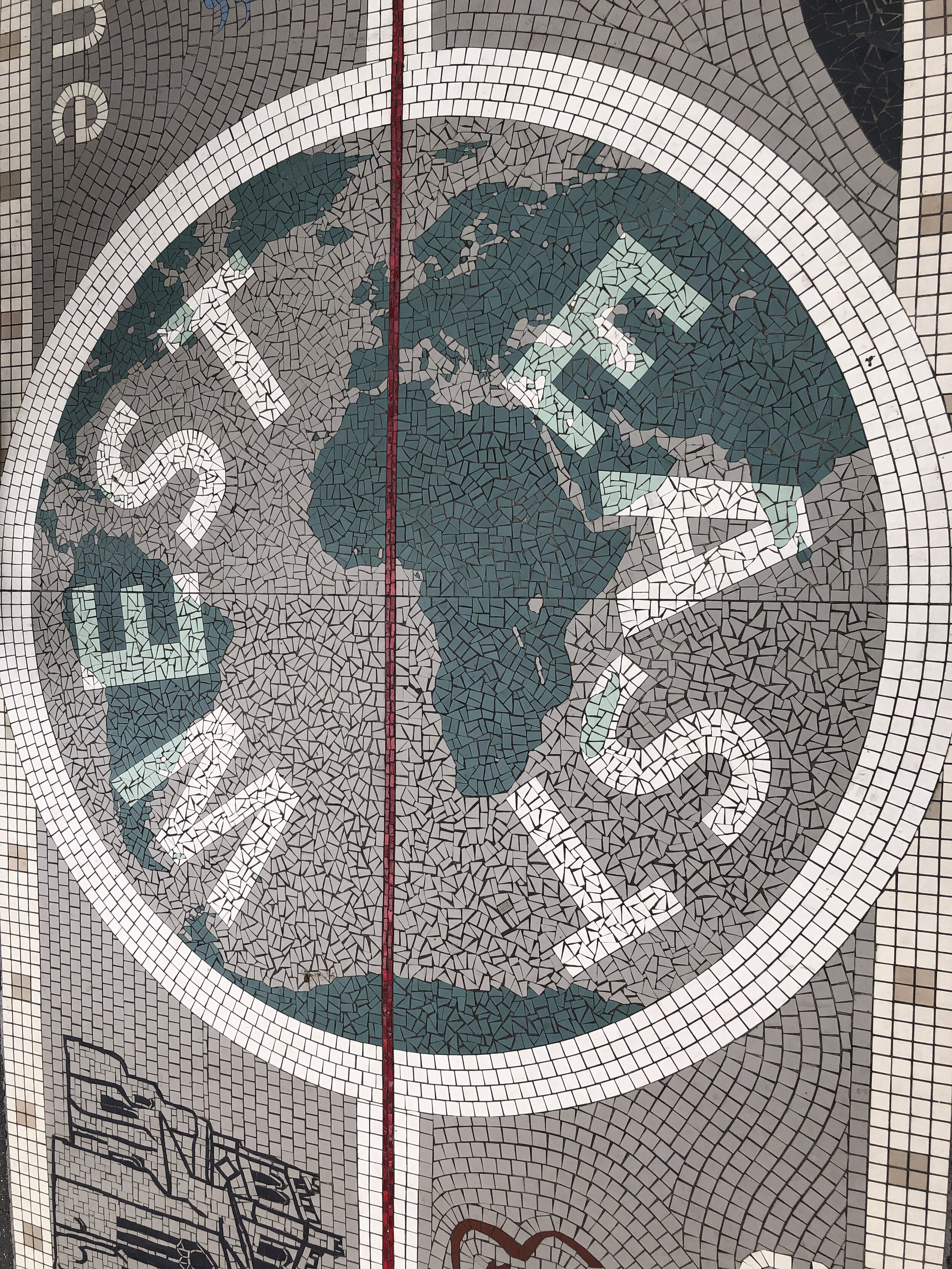
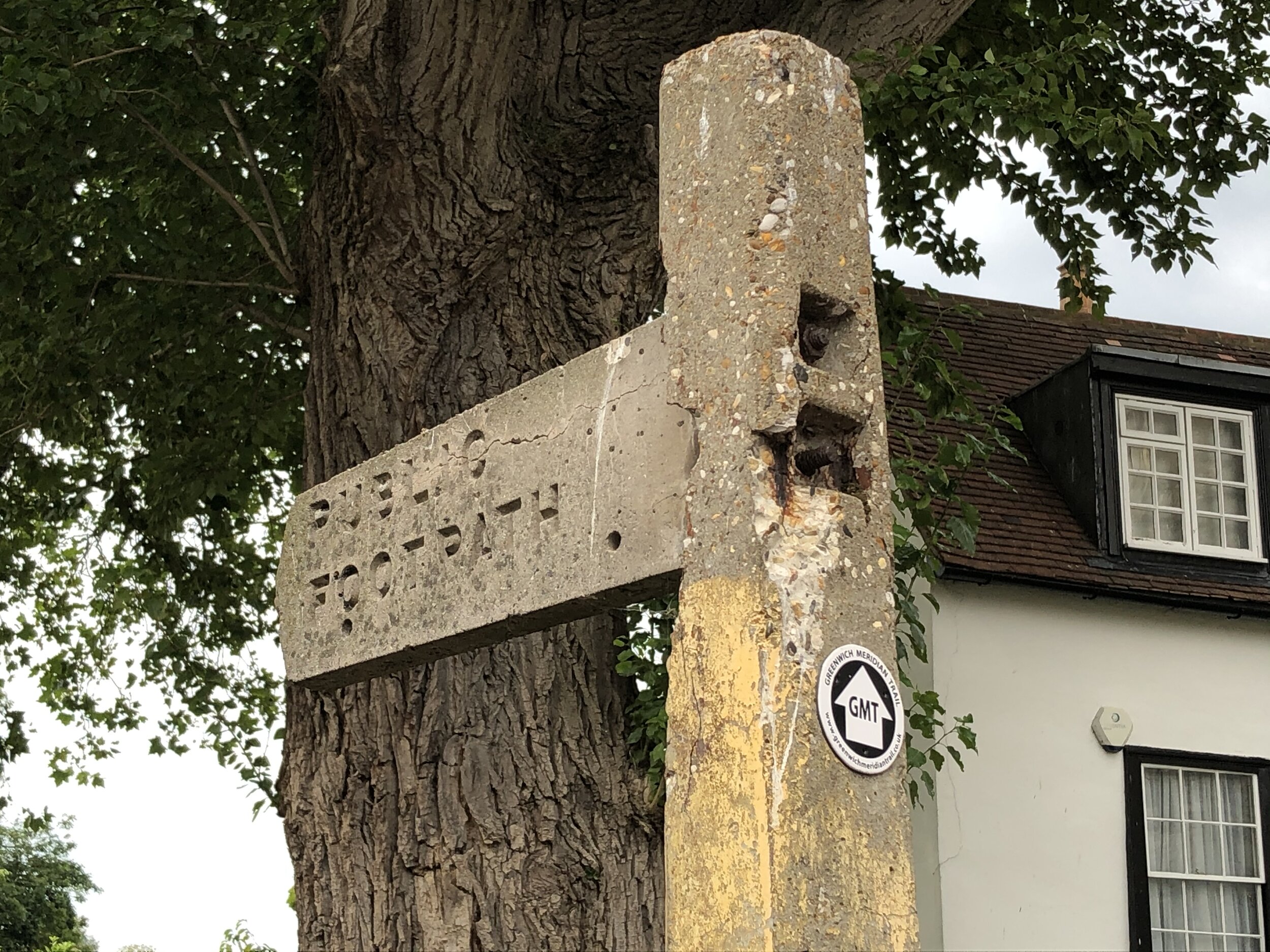
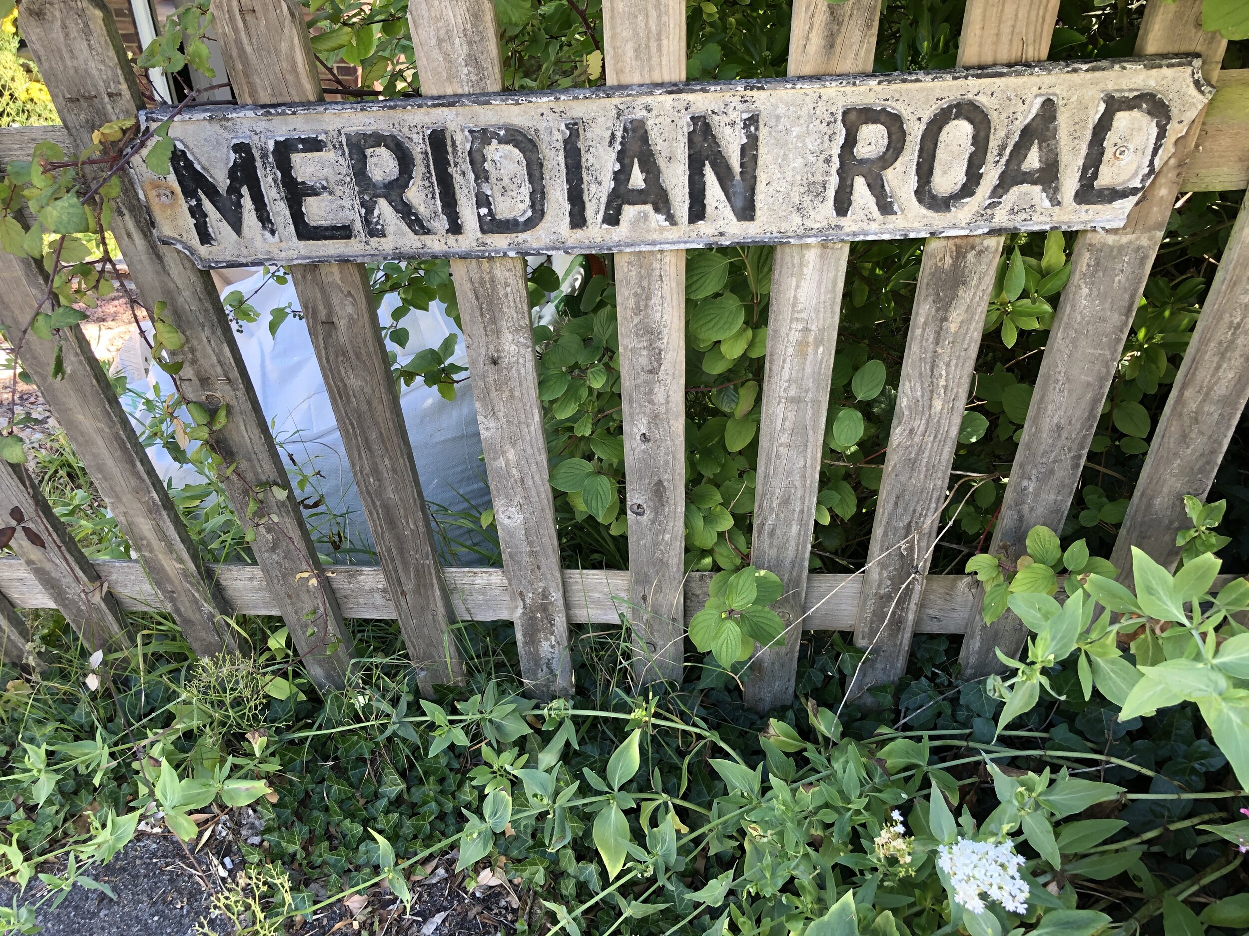
Prime Meridian markers on the route
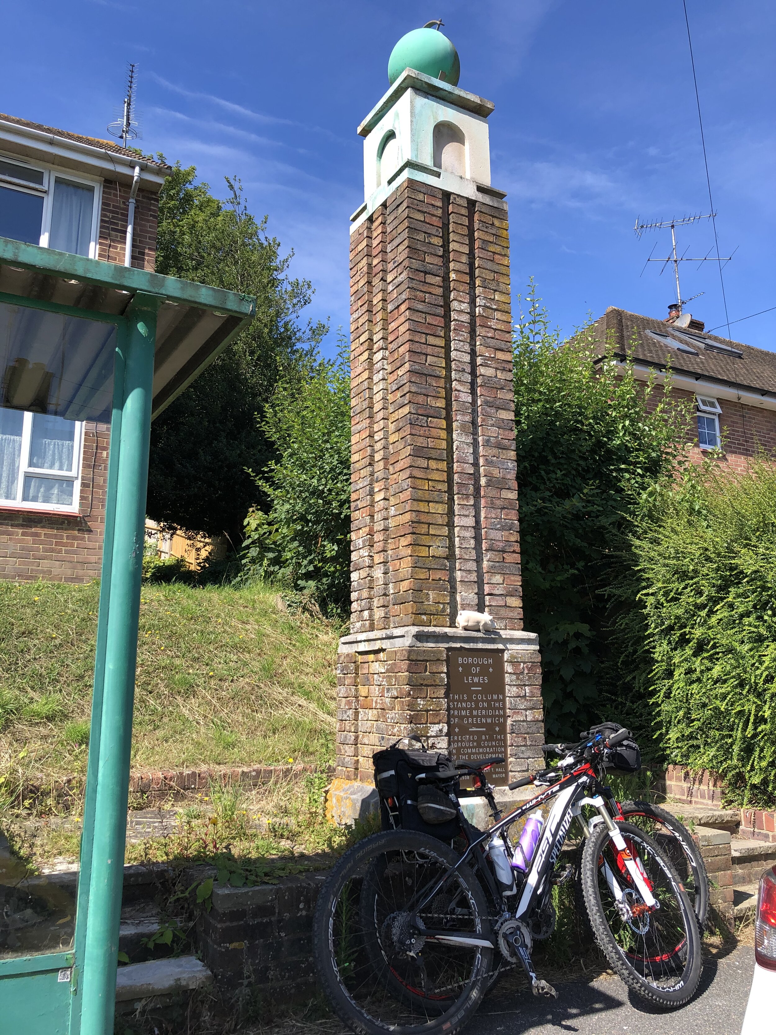
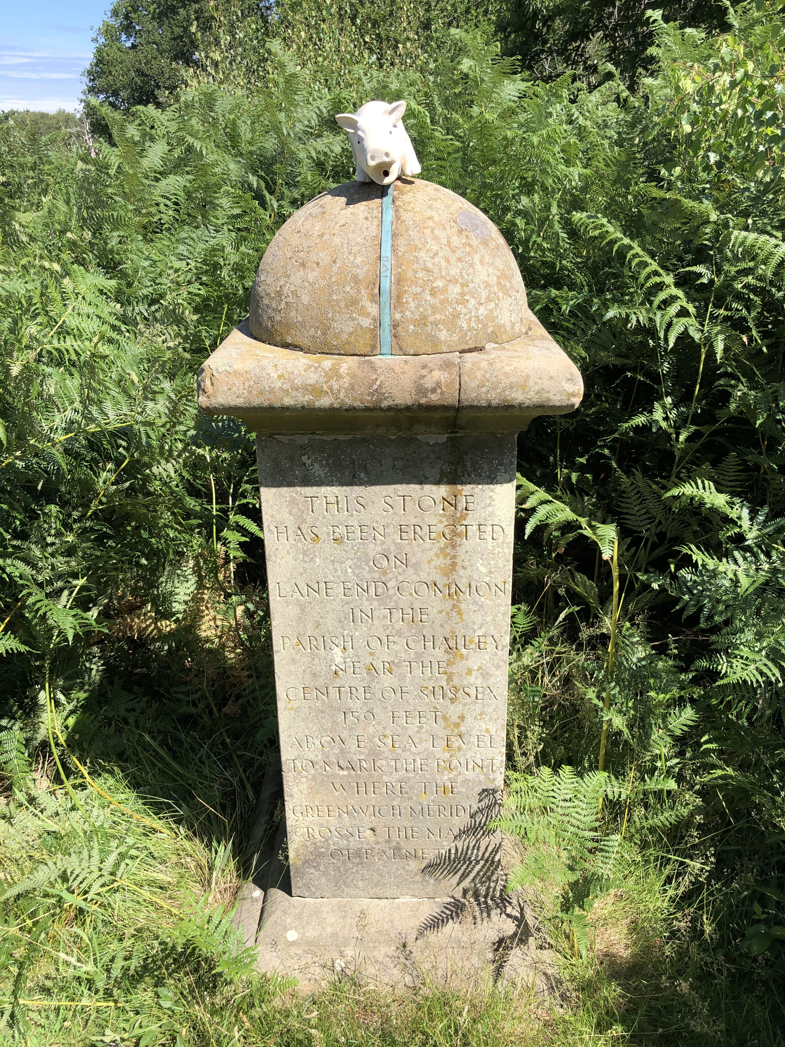

Bottom Row (left to right)
Top row(left to right):
Next section: Waltham Abbey to Peterborough