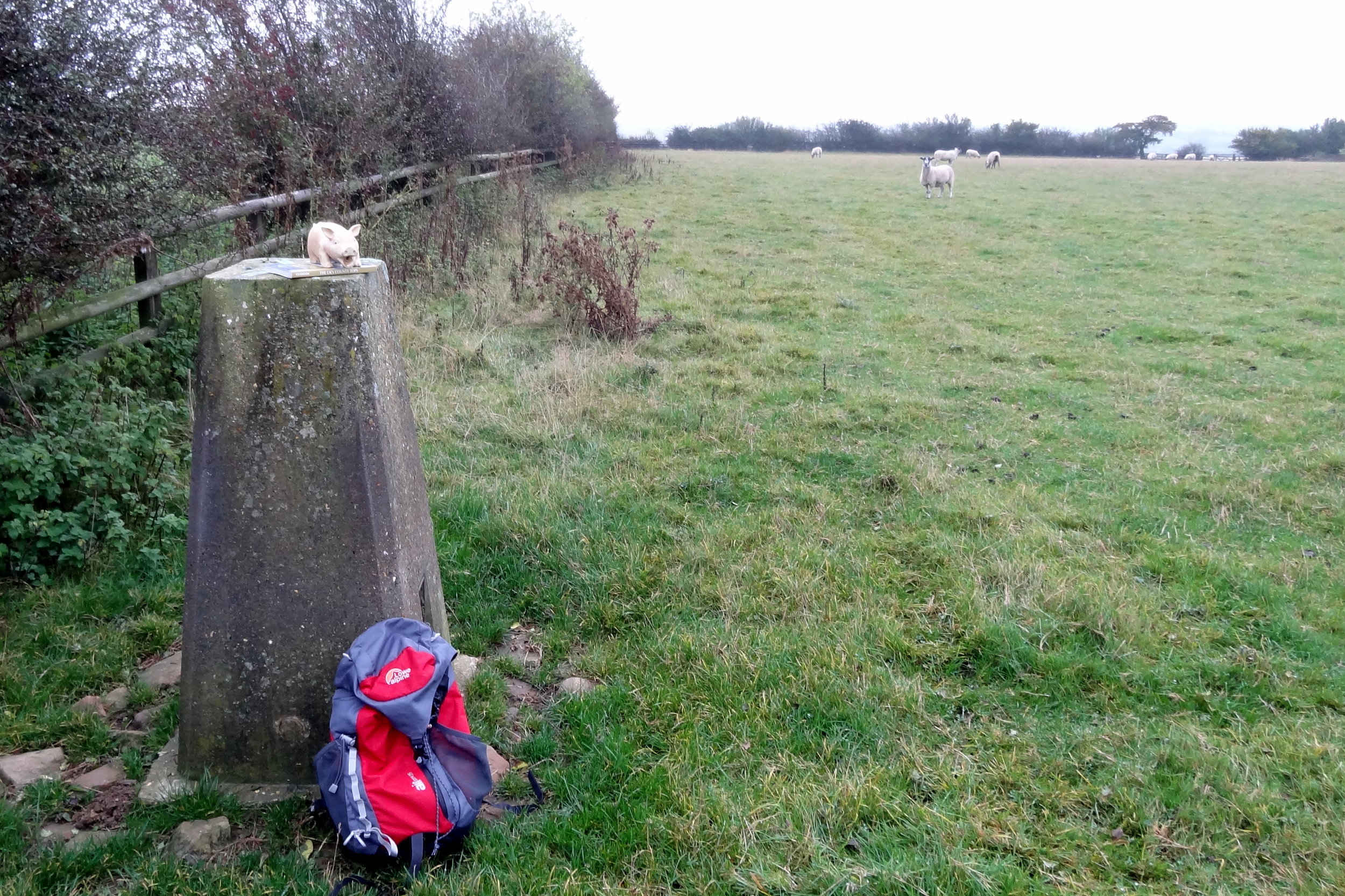
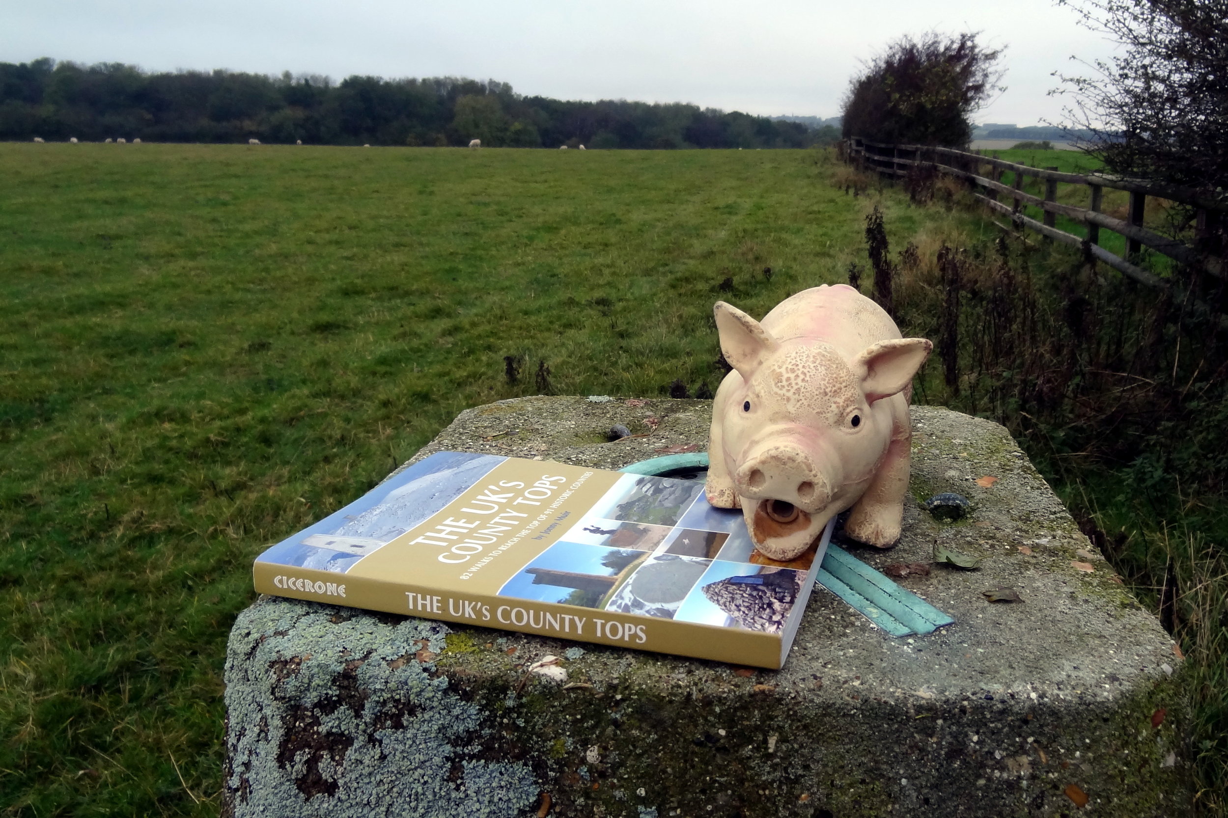
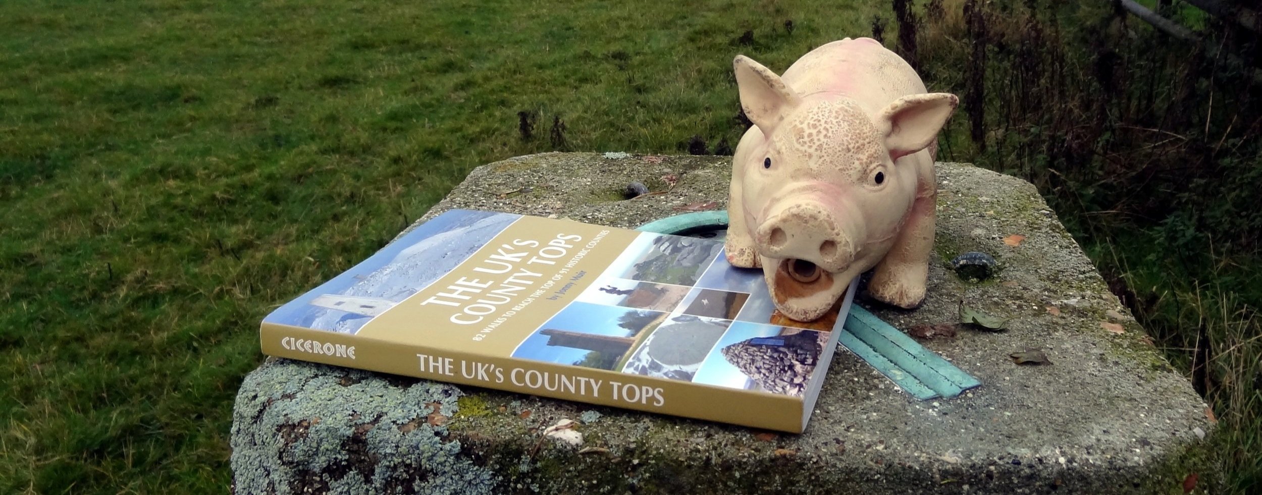
Cold Overton Park: Rutland County Top
Significance: Highest peak in Rutland (Historic CT)
Member of: N/A
Parent Peak: Cleeve Hill. NHN = Beacon Hill (Leicestershire)
Elevation: 197 m
Date climbed: October 14th 2014
Coordinates: 52°40′05″N 0°46′34″W
Route Start / End: Layby near Cold Overton Road / Manor Lane junction
Route Distance: 1.4 km (0.9 miles)
Route Elevation Change: +/- 6m
Subsidiary tops on route: None
GPX File: get via Buy Me a Coffee
Other routes touched: None
OS Trig Pillar: TP7029 - Wood Close
Map: OS Explorer 234: Rutland Water
Guidebook: The UK's County Tops (Jonny Muir), Walking the County High Points of England (David Bathurst)
Links: Wikipedia (Rutland), Wikipedia (Cold Overton Park), Peakbagger