Bow Brickhill: Milton Keynes High Point
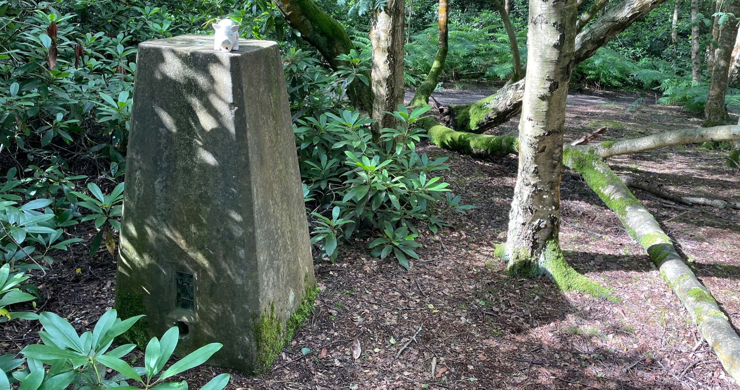
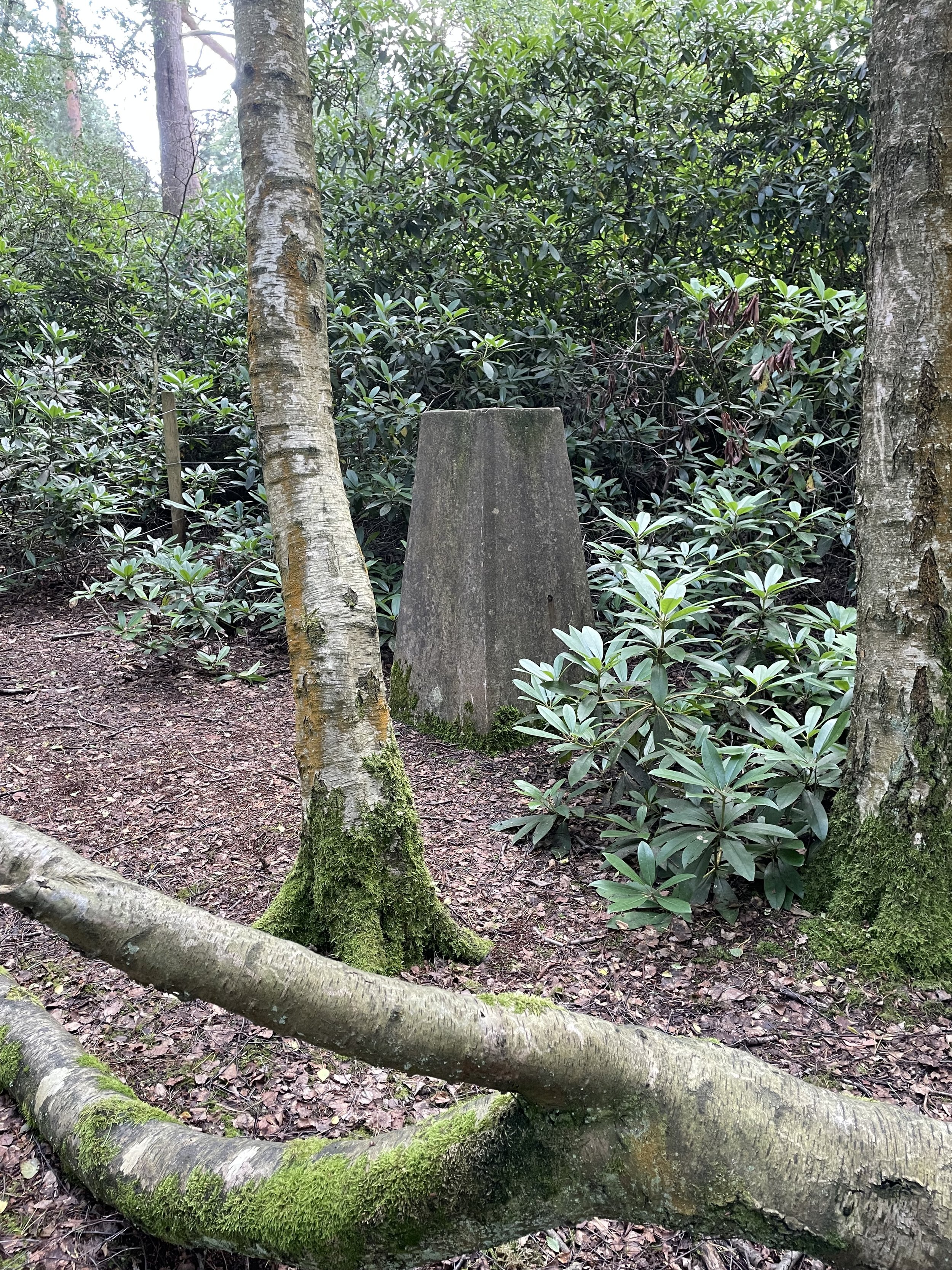
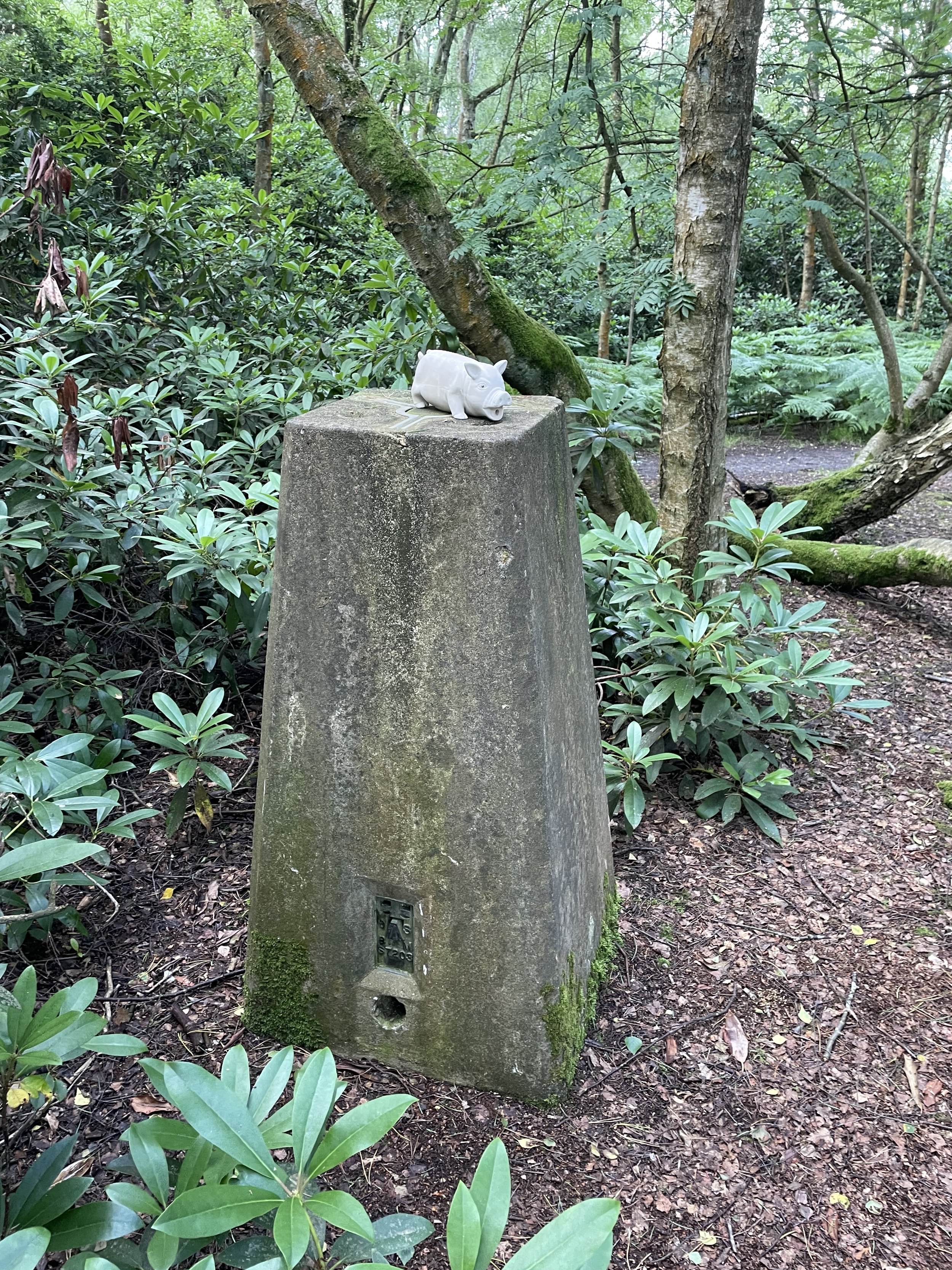
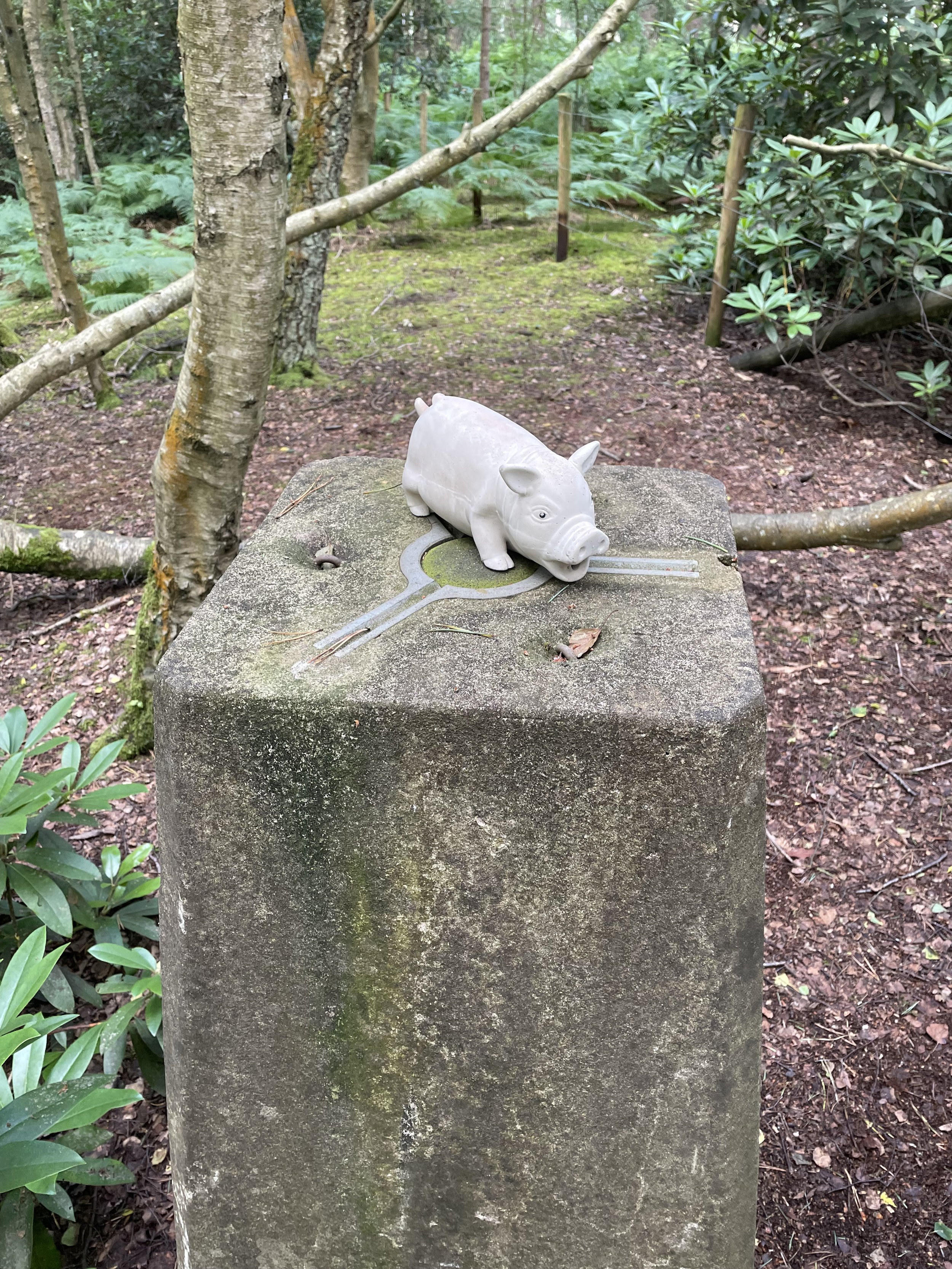
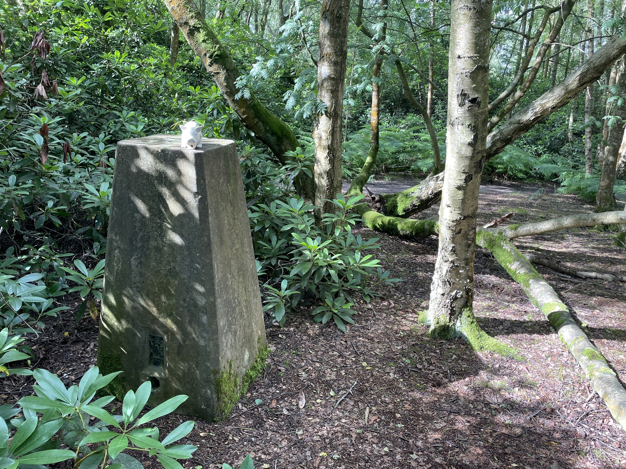
Trig Pillar at the summit of Bow Brickhill
Significance: Unitary Authority High Point for Milton Keynes
Member of: Tump
Parent Peak: Haddington Hill. NHN = Dunstable Downs
Historic County: Buckinghamshire (of which Haddington Hill is the County Top)
Elevation: 171m
Date climbed: July 15th 2013
Coordinates: 52° 0' 4'' N, 0° 40' 5'' W
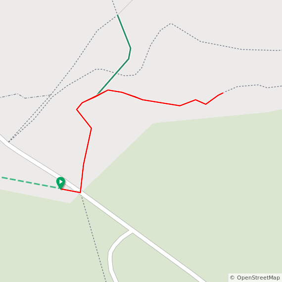
Route Start / End: Parking on south side of Church Road, just east of All Saints Church, Bow Brickhill, MK17 9LQ
Route Distance: 400m (0.25 miles)
Route Elevation Change: +/- 6m
Subsidiary tops on route: None
GPX File: get via Buy Me a Coffee
Other routes touched: None
OS Trig Pillar: TP1543 - Bow Brickhill
Map: Buckingham & Milton Keynes Map | Weatherproof | Leighton Buzzard & Woburn | Ordnance Survey | OS Explorer Active Map 192
Guidebook: N/A
Links: Wikipedia (Milton Keynes), Peakbagger, Hillbagging
Bow Brickhill is the high point of the Unitary Authority of Milton Keynes, within the Ceremonial and Historic Counties of Buckinghamshire. It can be easily accessed via short out-and back walk from the Car Park on Church Road or as a short diversion from the Milton Keynes Boundary Walk. From the parking spot on Church Road, it’s a 400m easy walk through the woods to the Trig Pillar that marks the high point. As Hillbagging points out “LIDAR suggests the summit is 22m NW of the trig at SP 91511 34503” .. however bagging the Trig Pillar was good enough for me.