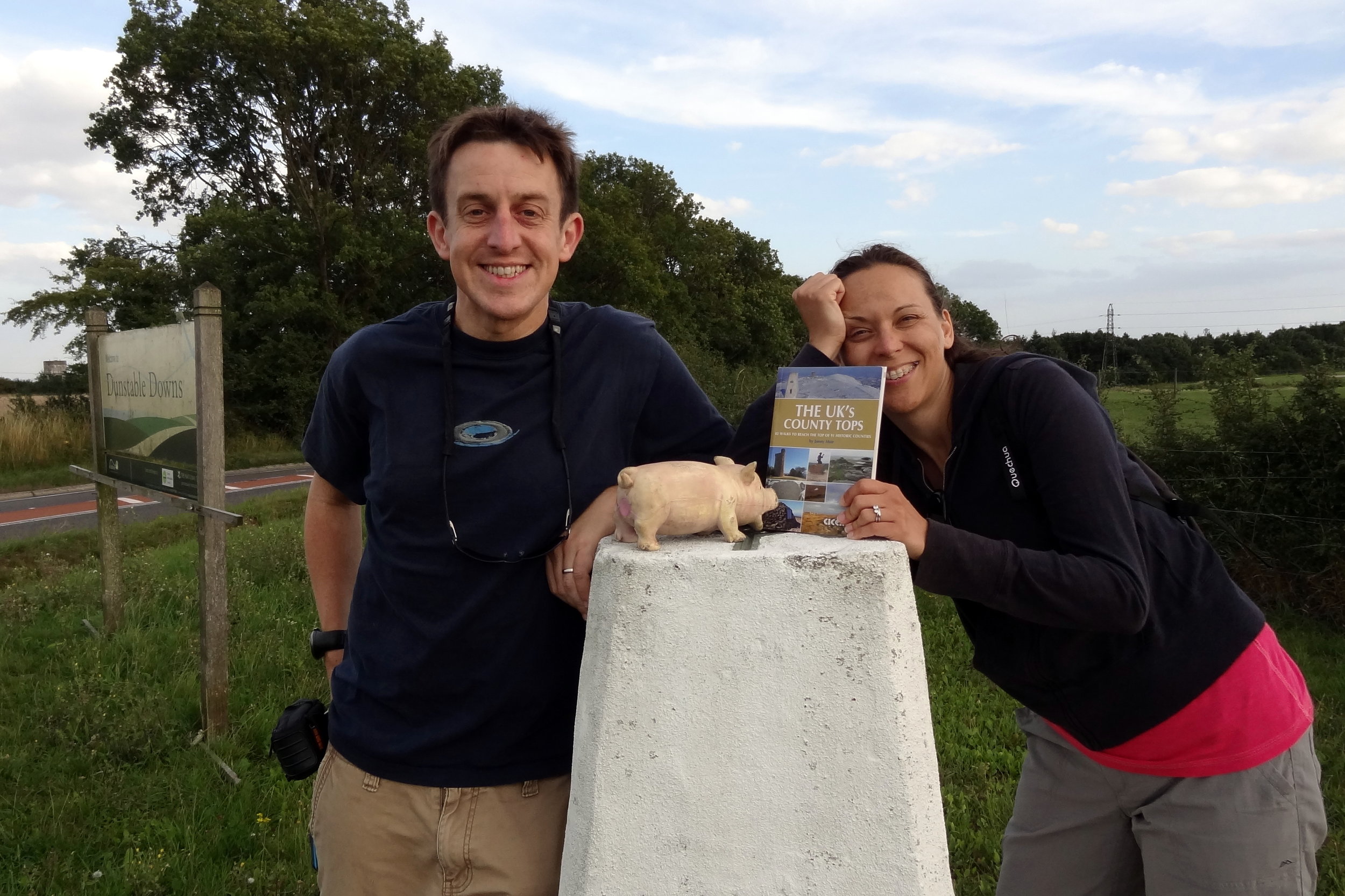
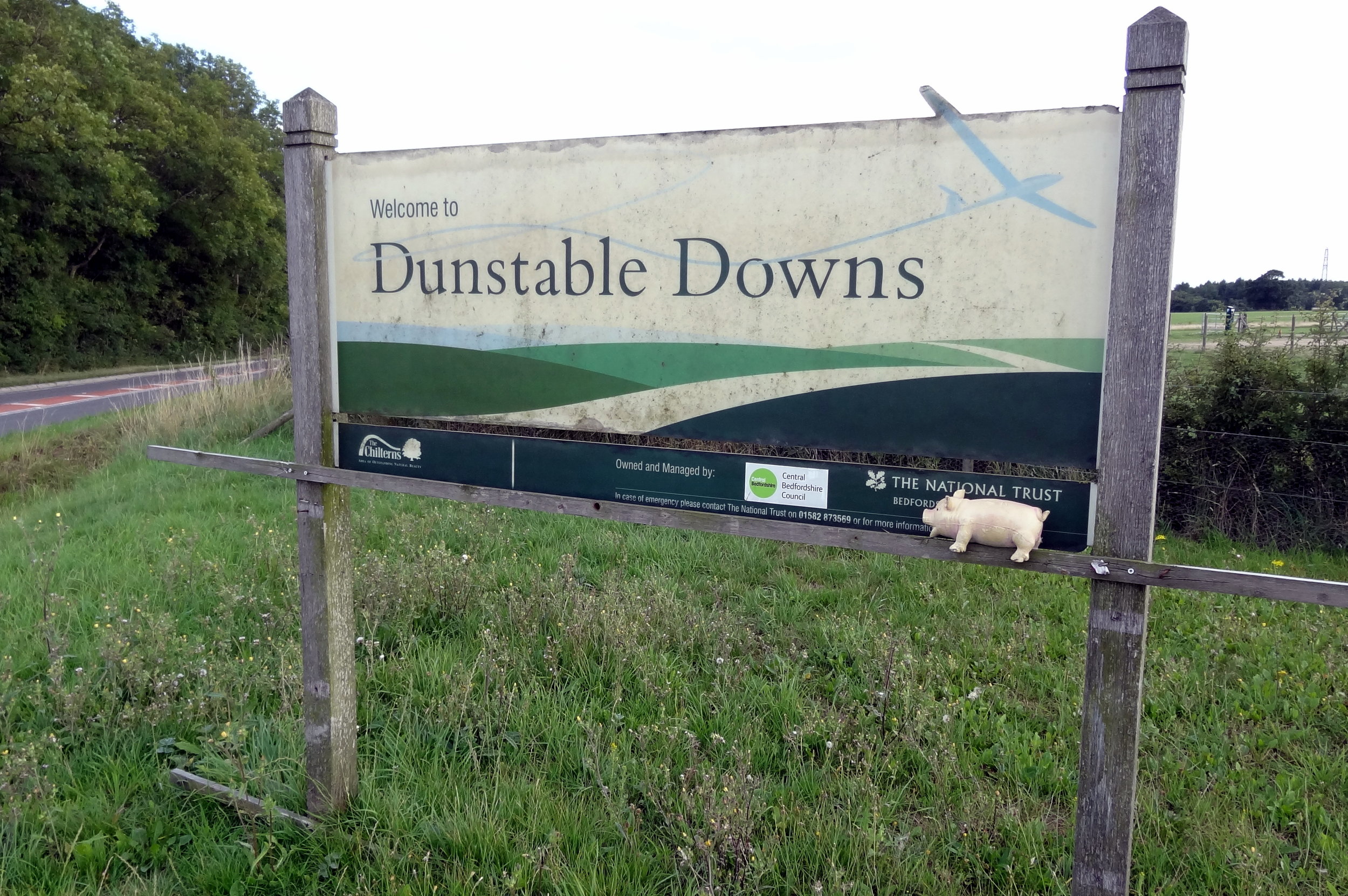
Dunstable Downs: Bedfordshire County Top

Hills near the Five Knolls Barrow Cemetery
Significance: Highest peak in Bedfordshire (Traditional CT), Central Bedfordshire Unitary Authority High Point
Member of: N/A
Parent Peak: Haddington Hill. NHN = Pavis Wood
Elevation: 243m
Date climbed: 31st August 2013
Coordinates: 51° 51' 51'' N, 0° 32' 11'' W
Route Start / End: Chilterns Gateway Centre, Dunstable Road, Whipsnade, LU6 2GY
Route Distance: 5.2 km (3.2 miles)
Route Elevation Change: +/- 92m
Subsidiary tops on route: none
GPX File: get via Buy Me a Coffee
Other routes touched (walk): Chiltern Way, Icknield Way
Other routes touched (cycle): Icknield Way Trail
OS Trig Pillar: TP0379 - Dunstable Down
Map: OS Explorer Map (181) Chiltern Hills North
Guidebook: The UK's County Tops (Jonny Muir), Walking the County High Points of England (David Bathurst)
Links: Wikipedia (Bedfordshire), Wikipedia (Central Bedfordshire), Wikipedia (Dunstable Downs), Peakbagger, Hillbagging, National Trust
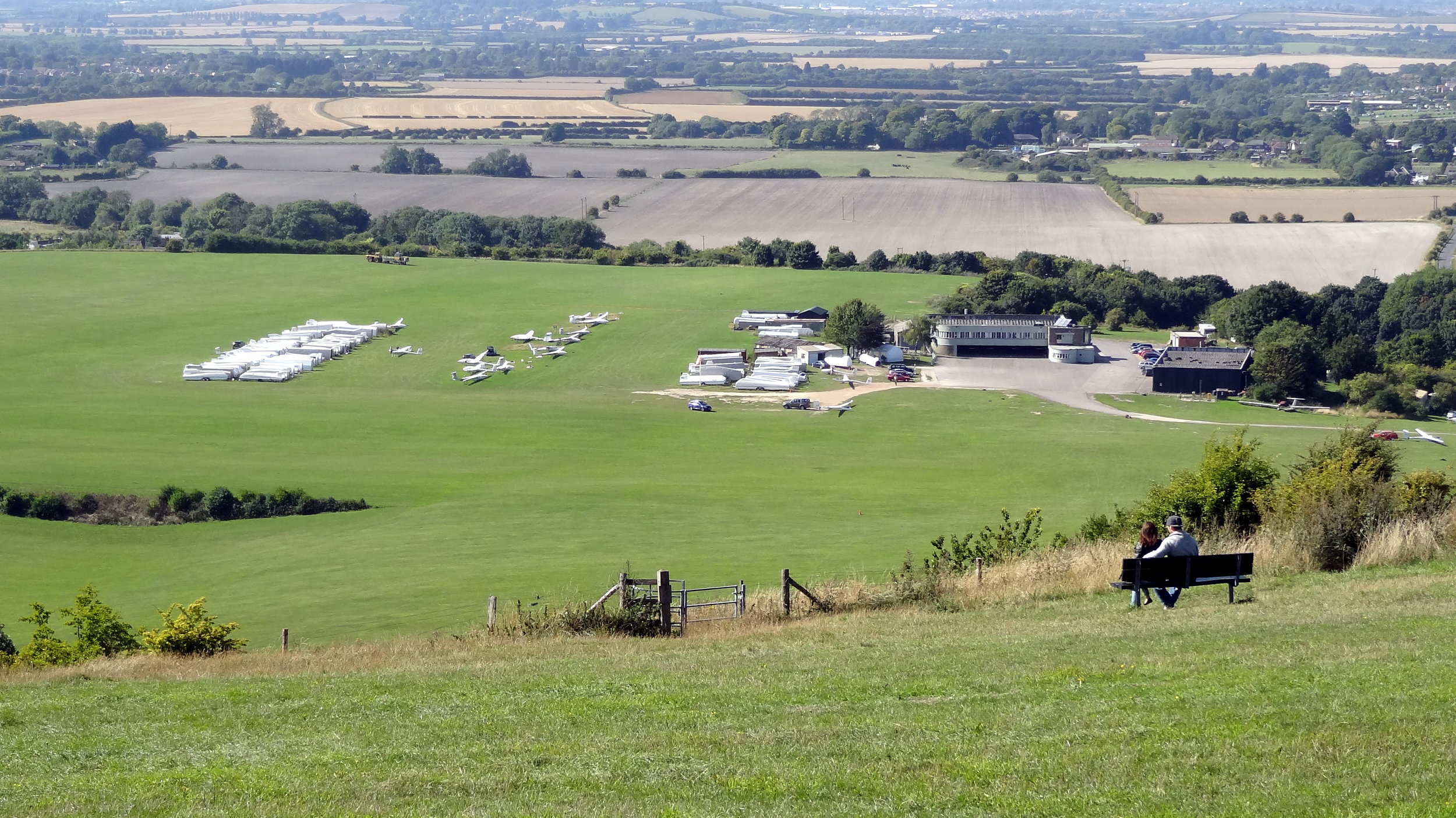
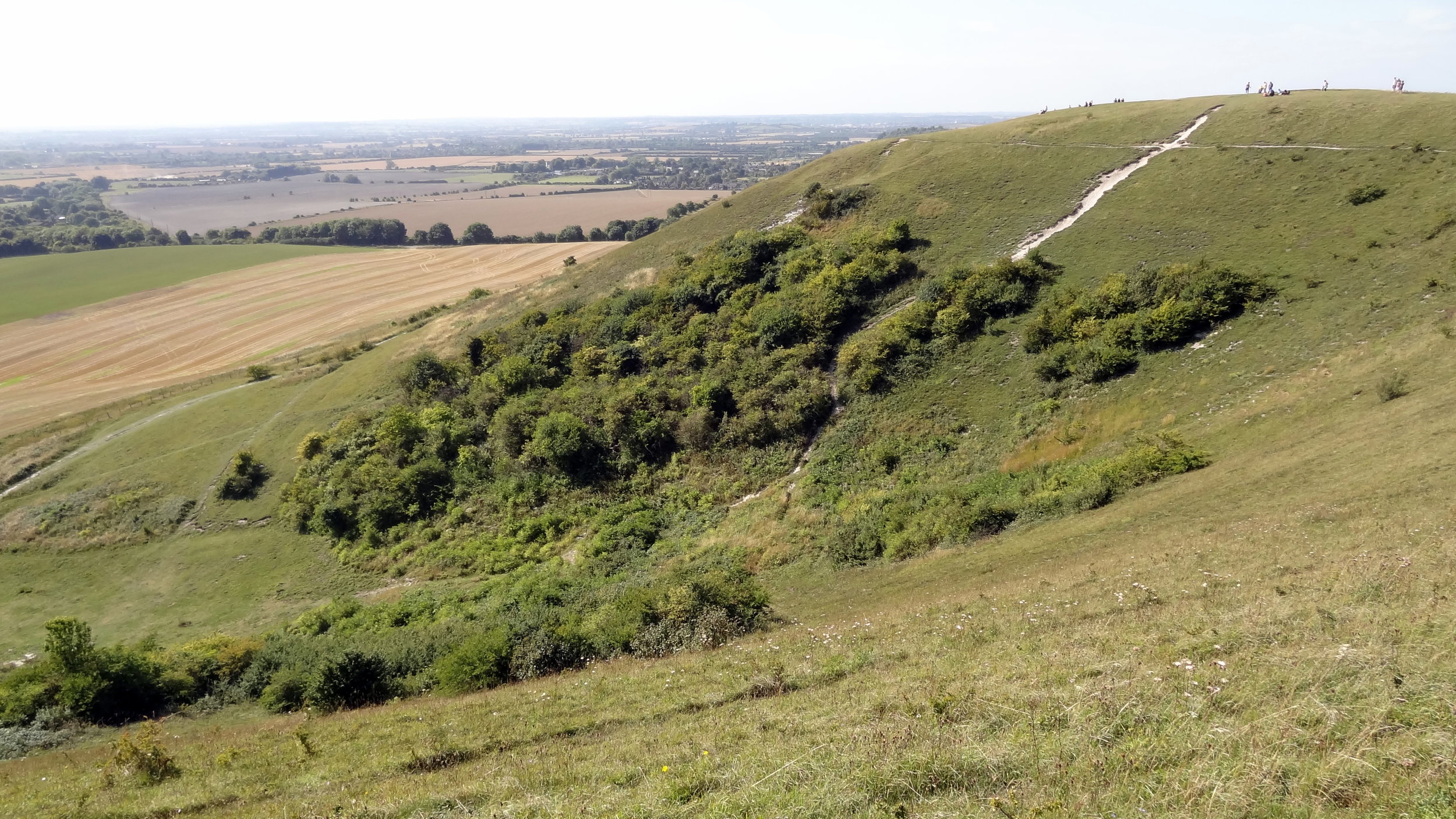
The County Top and Trig Point can be easily bagged on a drive-by or a 5 minute walk from the car-park. This would be a waste though as the walks and views from here are amazing. Take a picnic on a sunny day and watch the gliders taking off and landing below the hill.

Other High Points In Bedfordshire
The Slipe (107m) Bedford Borough Unitary Authority High Point: Peakbagger / Hillbagging
Whitehill-Butterfield Green (178m) Luton Unitary Authority High Point: Peakbagger / Hillbagging