Cycling The River Ouzel

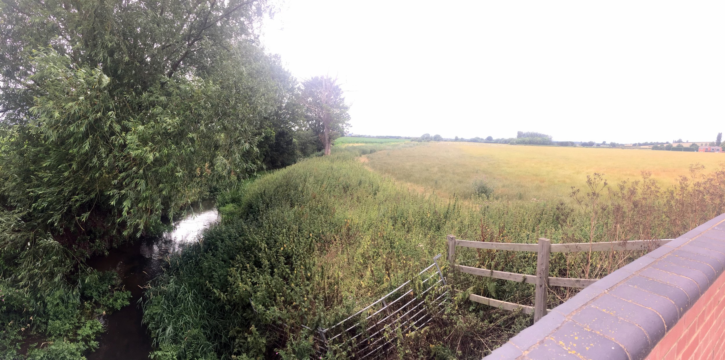
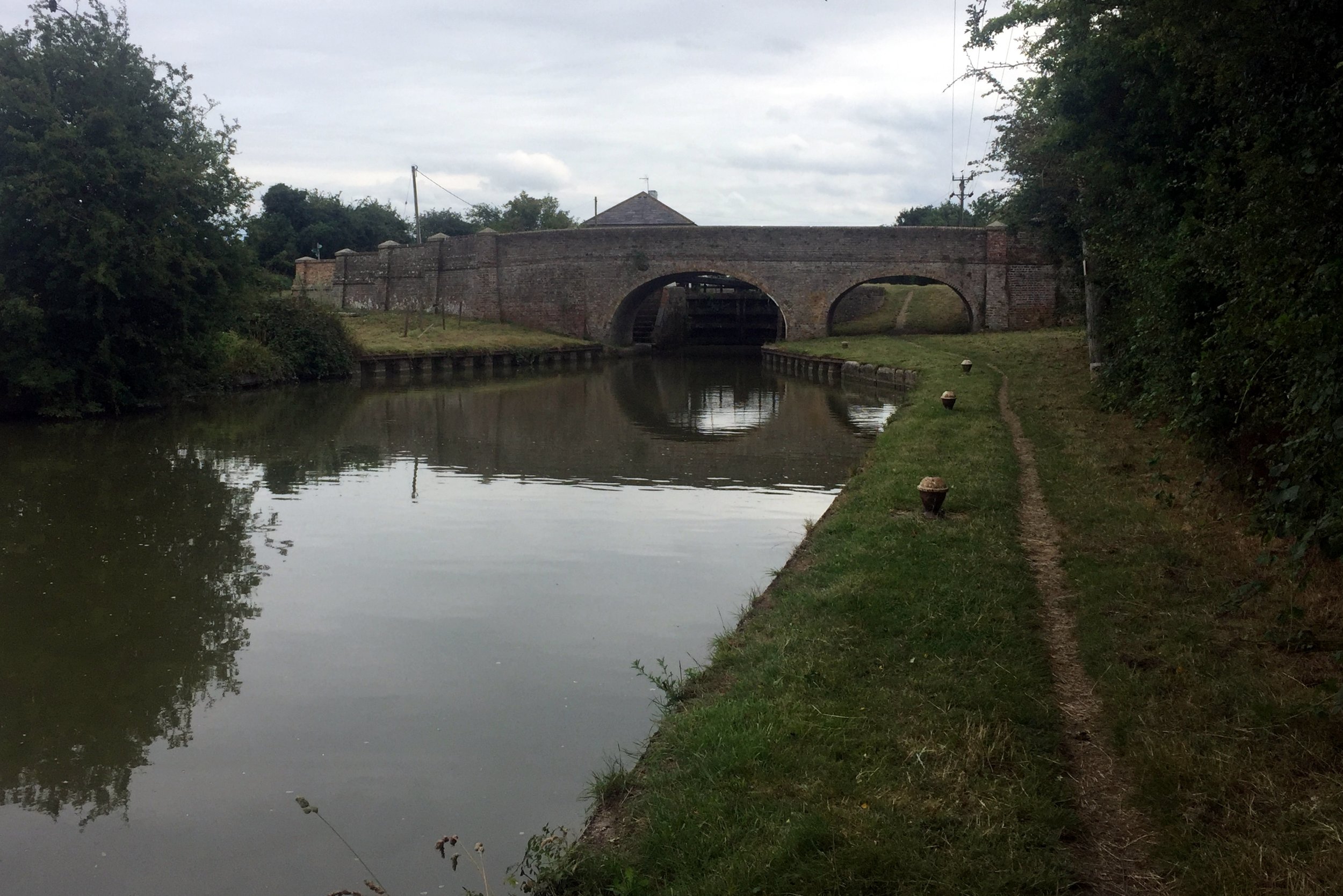
Bridge over the River Ouzel near Edlesborough
Part of the Chiltern Rivers Series
River start: Dagnall, Buckinghamshire
River end: Confluence with the River Great Ouse and Newport Pagnall
River length: 32 km (~20 miles)
Cycle route start / end: Dagnall Church, HP4 1RL
Cycle route length: 31.2 km / 19.4 miles
Cycle route elevation change: +/- 191 m
GPX File: get via Buy Me a Coffee
Other routes touched (walk): Icknield Way, Grand Union Canal, Two Ridges Link
Other routes touched (cycle): NCN Route 6
Map: OS Explorer Map (181) Chiltern Hills North
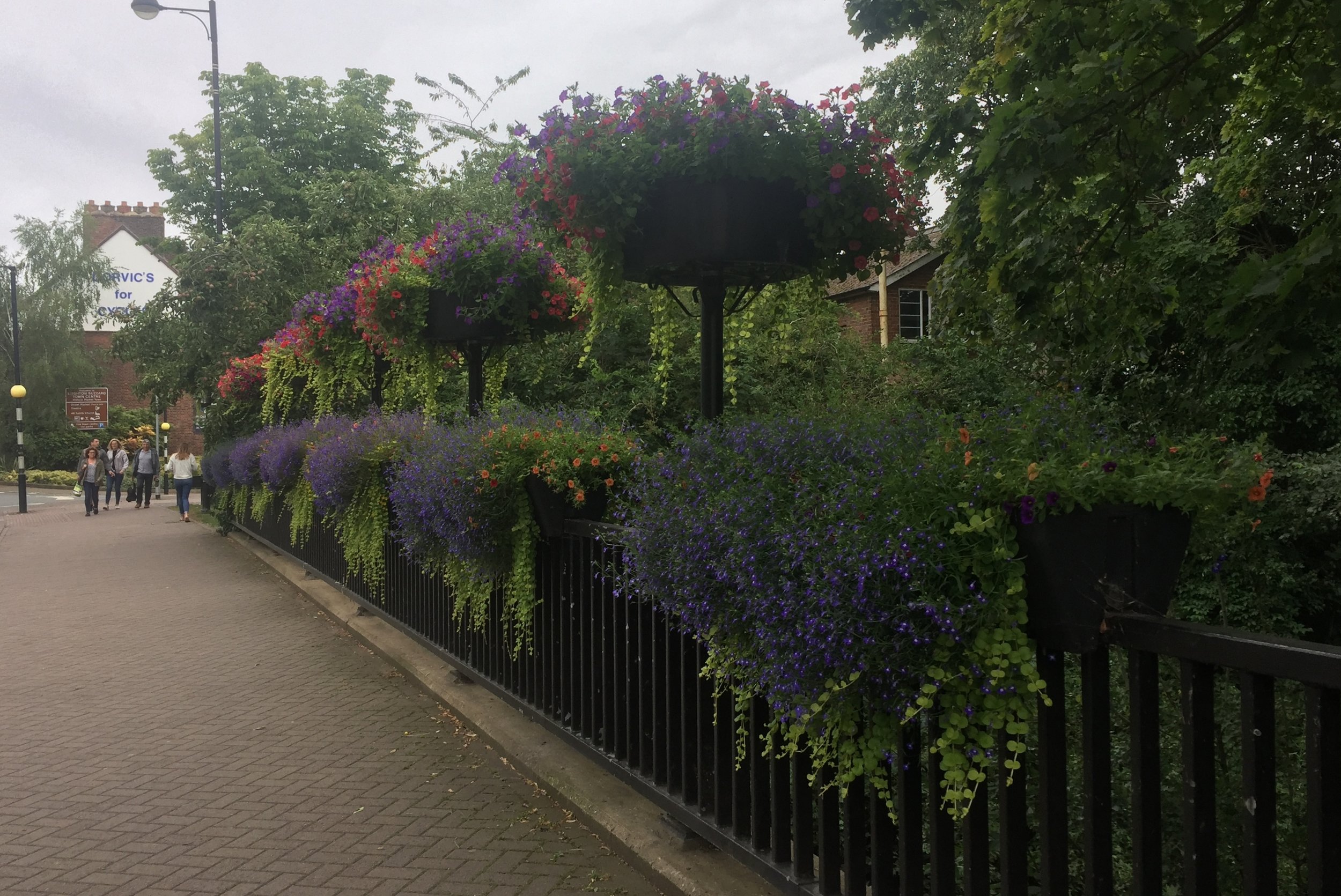
Links: River Ouzel, Dagnall, Edlesborough, Leighton Buzzard
This one firmly belongs in the “obscure and tenuous” section of my Chilterns Rivers project. It counts because the source of The Ouzel is in Dagnall which is firmly within the boundary of the AONB. However, it soon escapes and 95% of its course is outside of the Chilterns. From Leighton Buzzard the river follows the course of the Grand Union Canal to Milton Keynes where it splits off and joins the River Great Ouse at Newport Pagnell. I wasn’t up for cycling the Grand Union yet again so I confined my ride to exploring the first 12km.
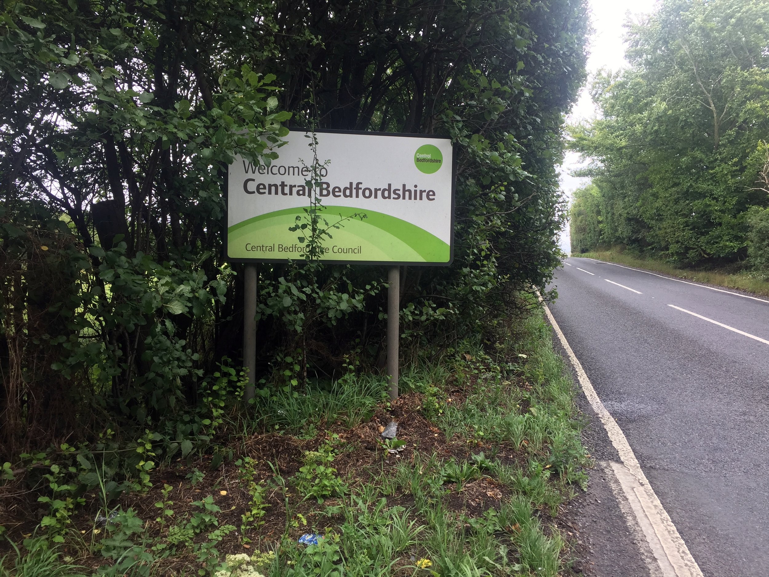
Dagnall Church is a good place to start the ride. From here take the B440 North and take a right onto the B489. The Ouzel rises in the farm bounded by these 2 roads and crosses the B489 before the sign for Central Bedfordshire. This is the first first and most underwhelming of the 5 road crossings en route its way to Leighton Buzzard. The rest of this outbound section is a pleasant meander through small country lanes and villages with a few pubs and cafes for rest stops along the way.
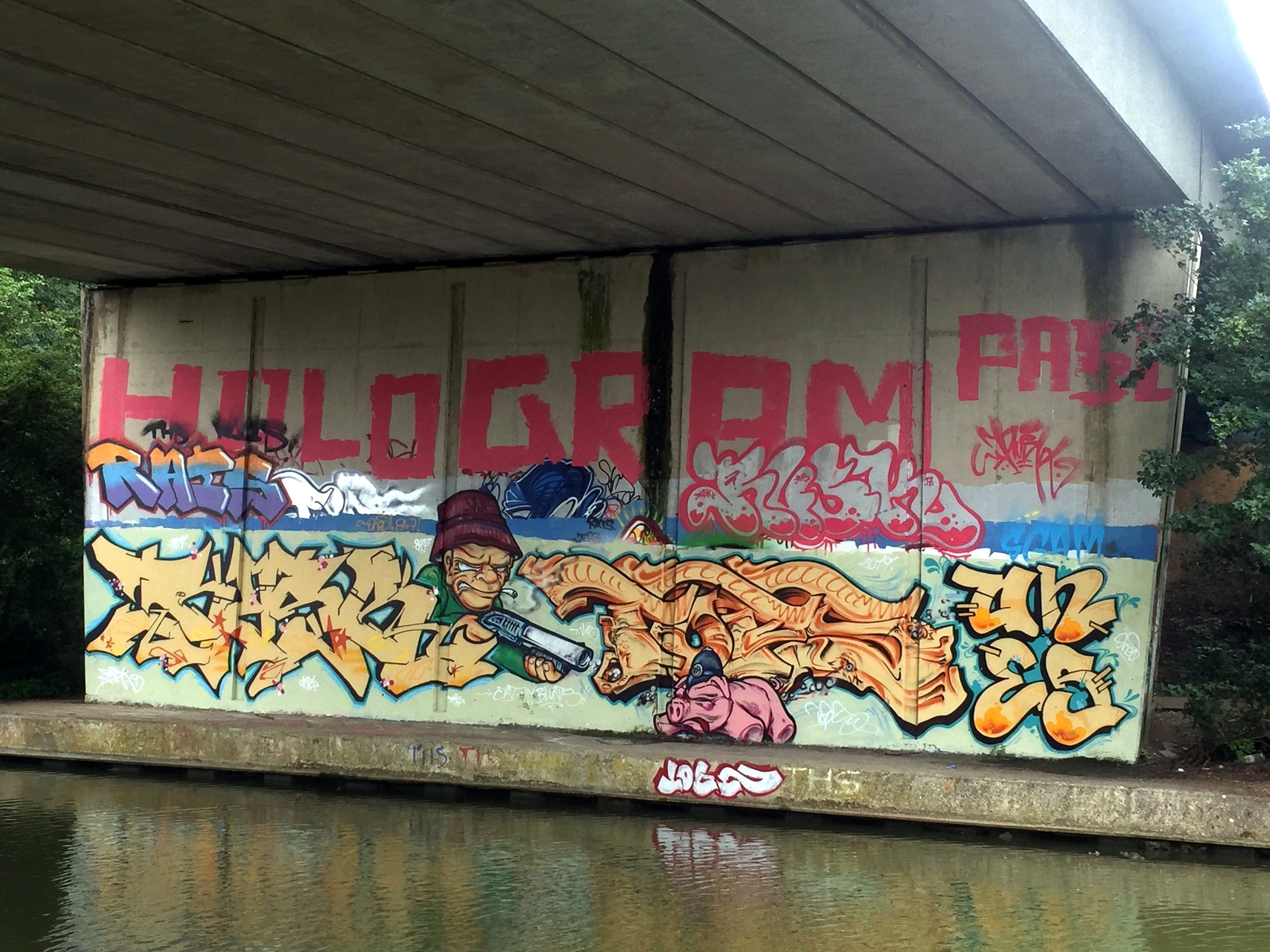
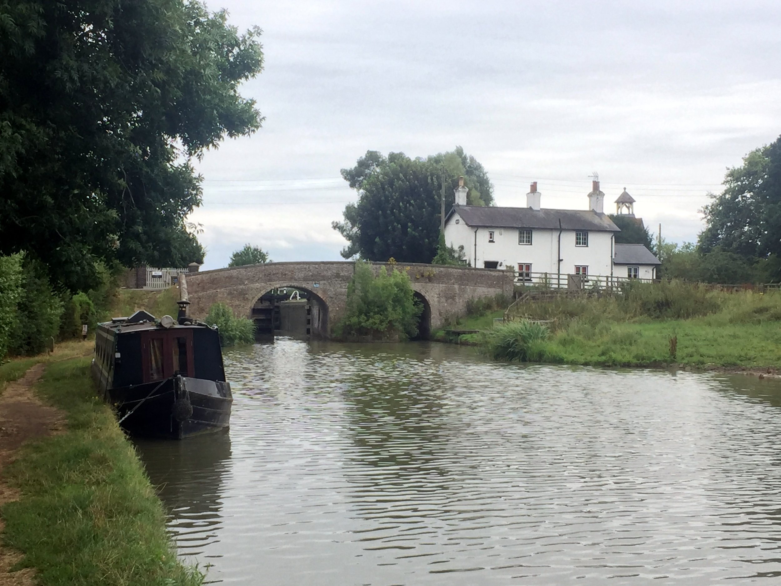
At Leighton Buzzard, the return is very simple as it follows the Grand Union Canal towpath for approx 6.5 miles to Cheddington. From here, cross over at the lock and, after a farm, follow Chapel Lane through Ivinghoe Aston back to the B489. The end point at Dagnall is 3 km from this junction.
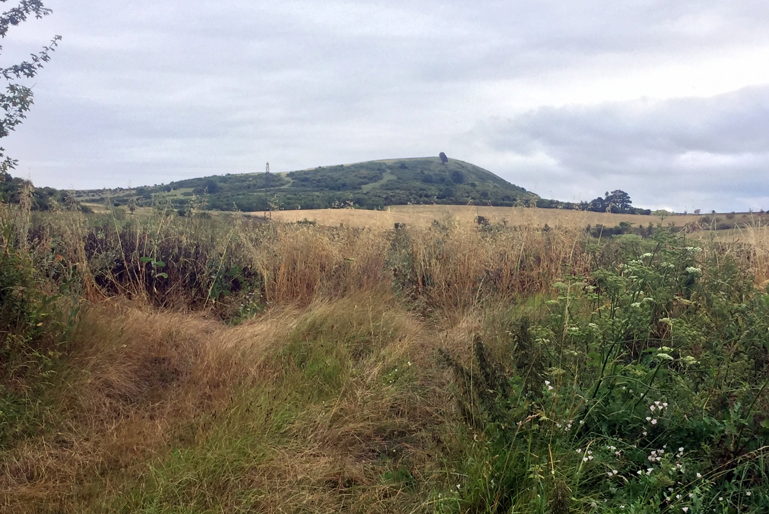
Its a bit of a weird route but actually quite interesting. There’s good views of Ivinghoe Beacon and the Whipsnade White Lion from several parts. From Dagnall you can pick up the River Ver and trace that South to the Colne. Alternatively, the Ridgeway and Icknield Way converge at Ivinghoe Beacon.
Blue = River, Red = Cycle Route
Elevation for cycle route