Walking The Chiltern Way Part 4 - Streatley to Peter’s Green

Through fields to Lilley
Start: The Chequers pub, 171 Sharpenhoe Road, Streatley, Luton, LU3 3PS
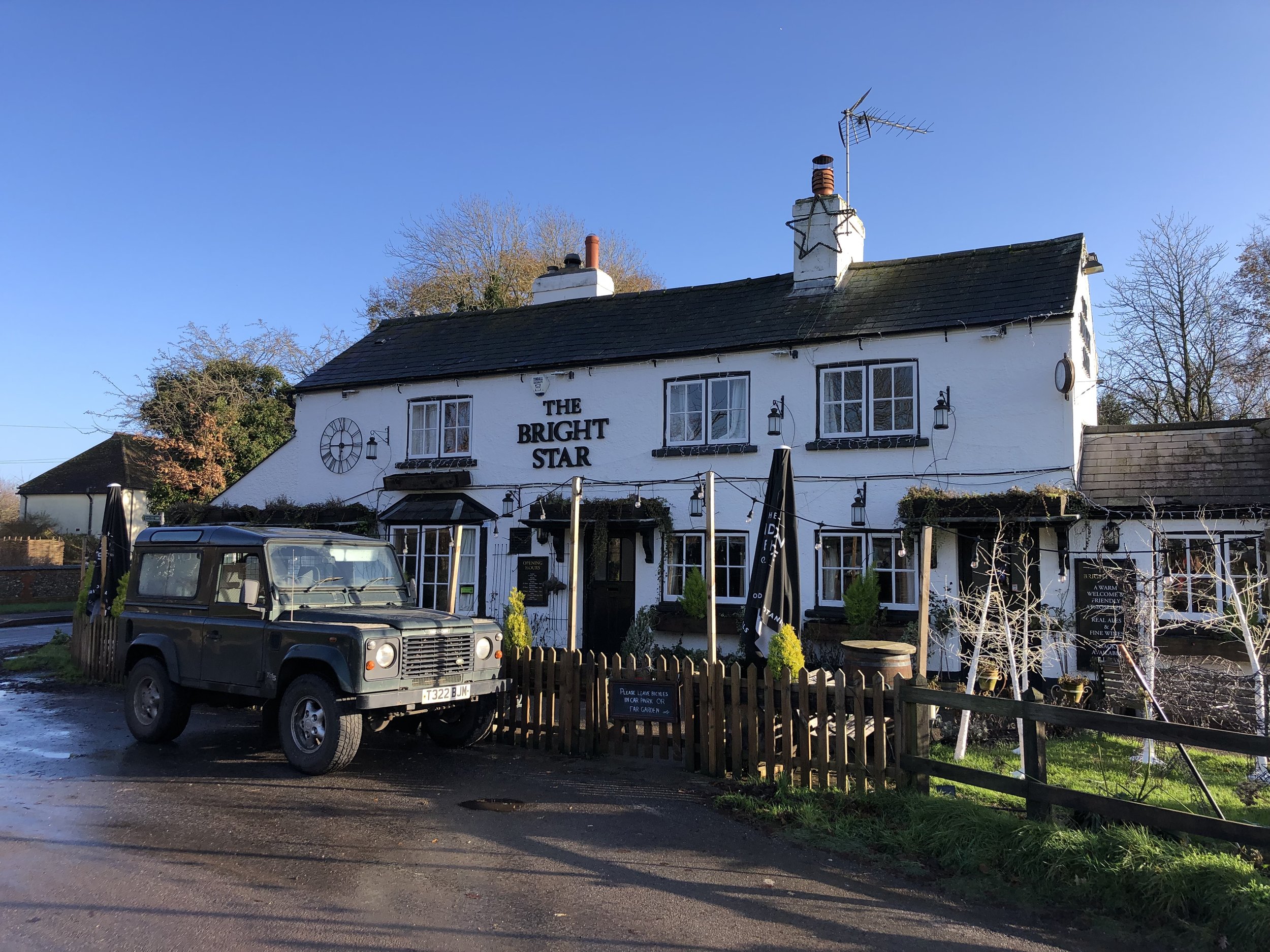
Finish: The Bright Star Pub, Kimpton Road, Peter's Green, Luton, LU2 9QP
Distance: 20.8 km (12.9 Miles)
Elevation change: +223m / -227m. Net -4m
GPX File: get via Buy Me a Coffee
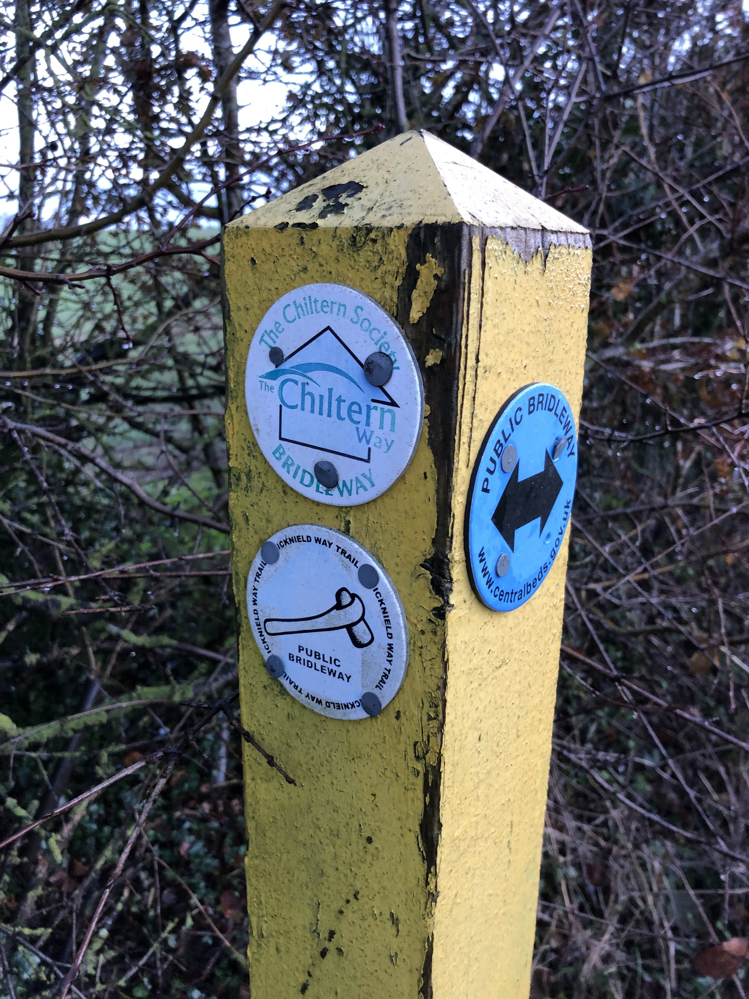
Other Routes Touched (walk): Chiltern Way, Iknield Way, John Bunyan Trail
Other Routes Touched (cycle): Chilterns Cycleway, Icknield Way Trail
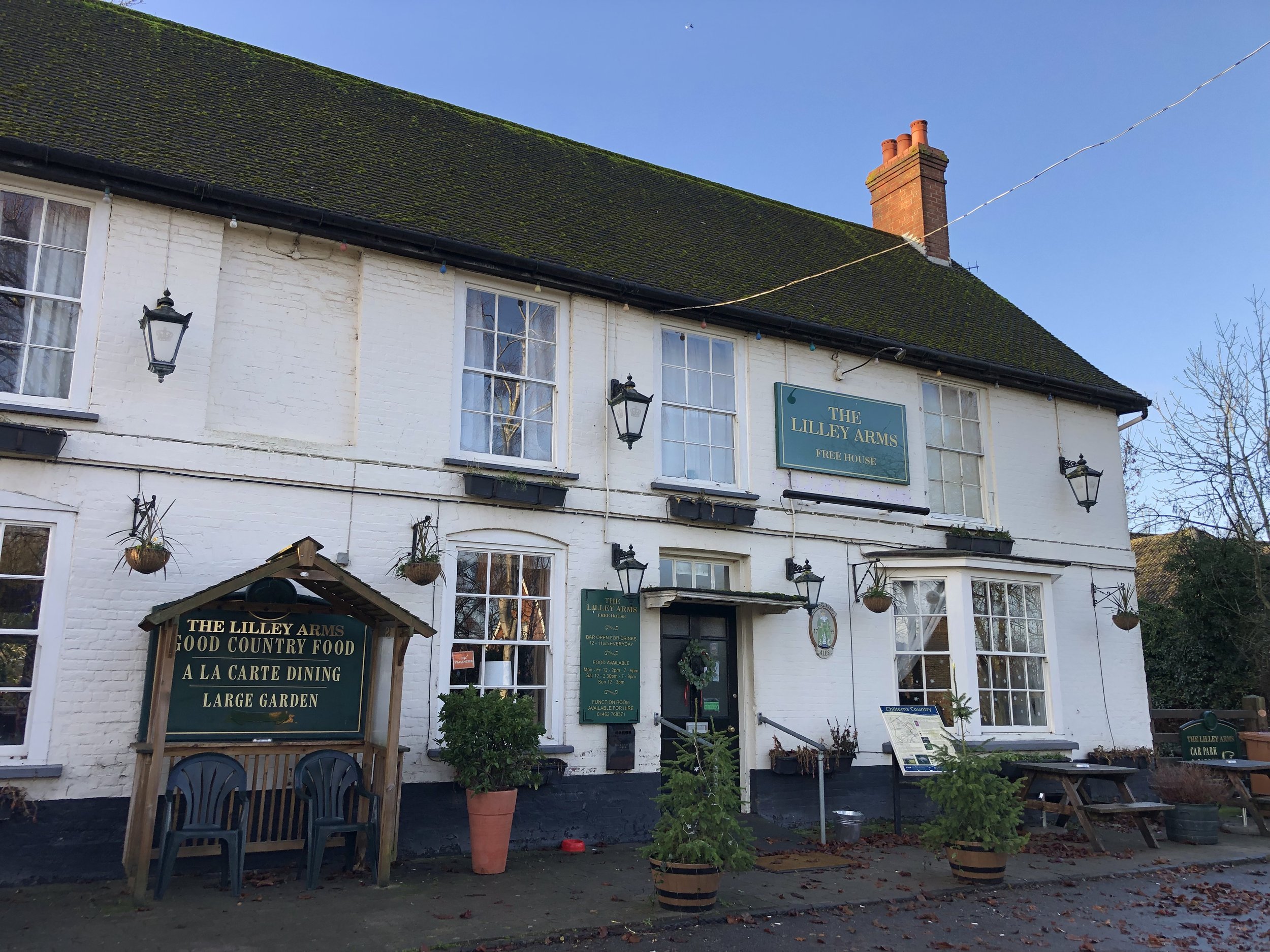
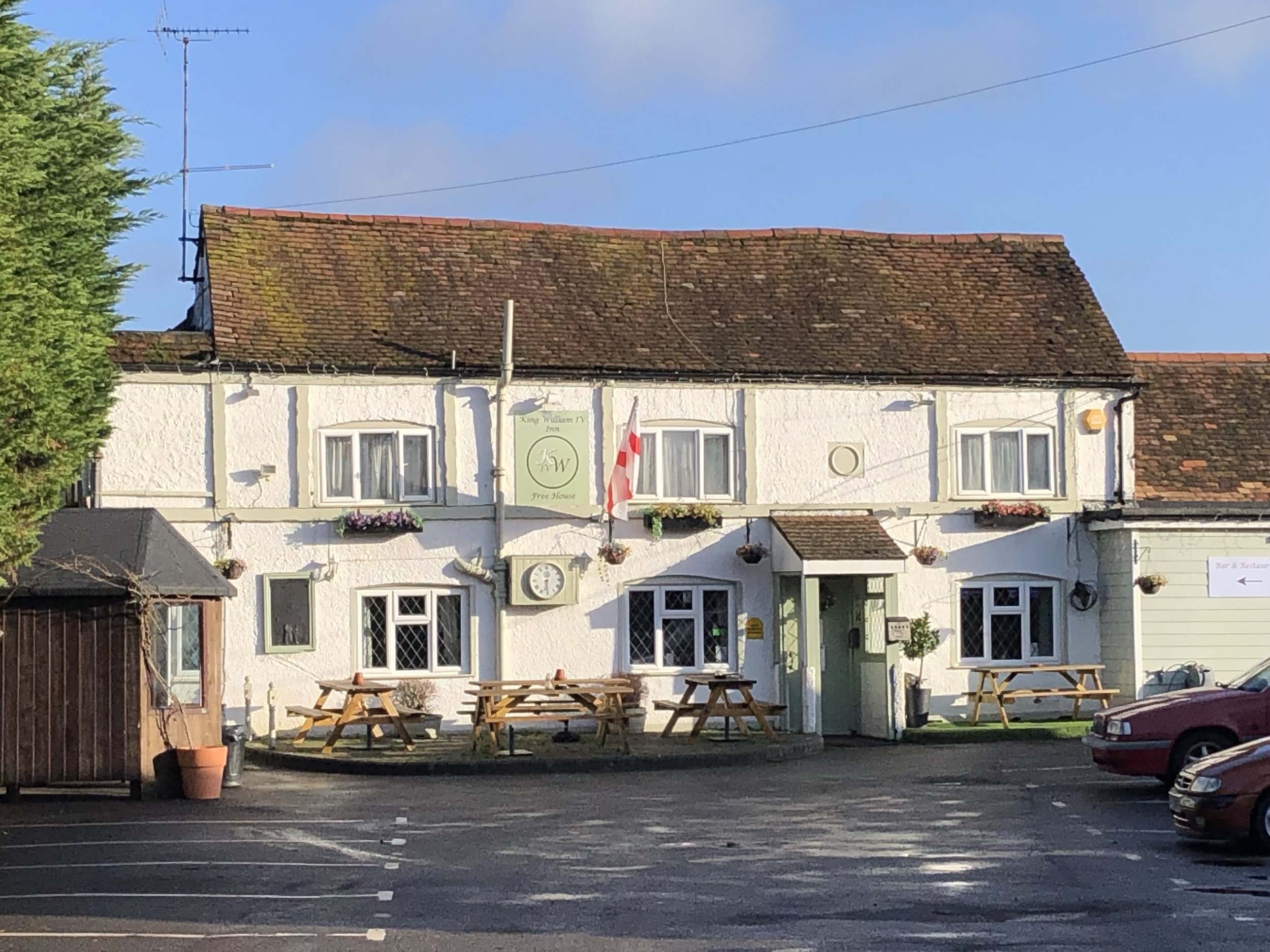
Pubs / Cafes on route: The Chequers at the start and The Bright Star at the end plus The Lilley Arms (just off route at 8.7 km in) and The King William (13.3 km in)
Maps:
- Luton & Stevenage Map | Hitchin & Ampthill | Ordnance Survey | OS Explorer Map 193
- St Albans & Hatfield Map | Hemel Hempstead & Welwyn Garden City | Ordnance Survey | OS Explorer Map 182
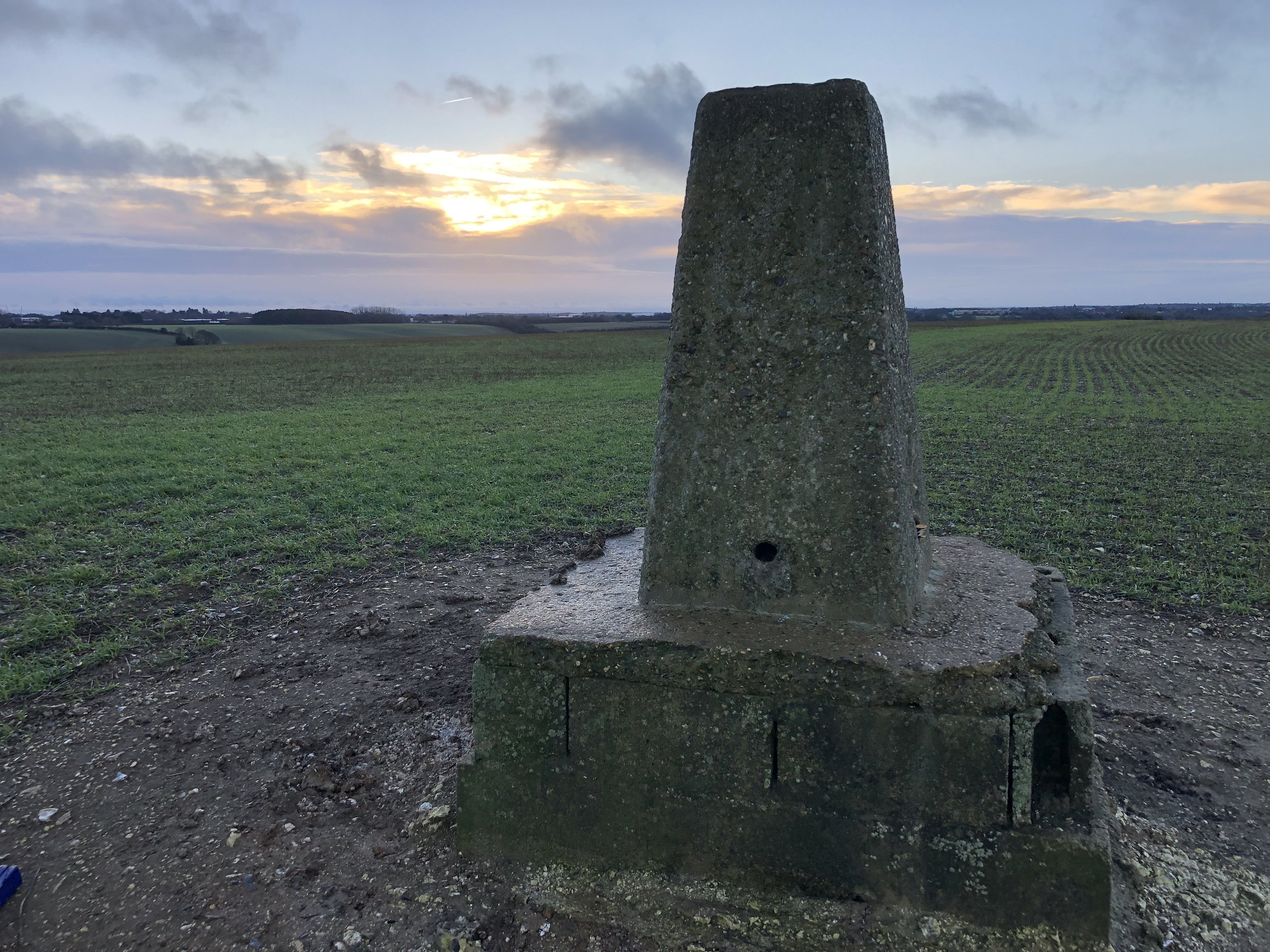
OS Trig Pillar: TP6734 - Warden Hill
Links: Chiltern Way (Chiltern Society), Streatley, Luton, Lilley
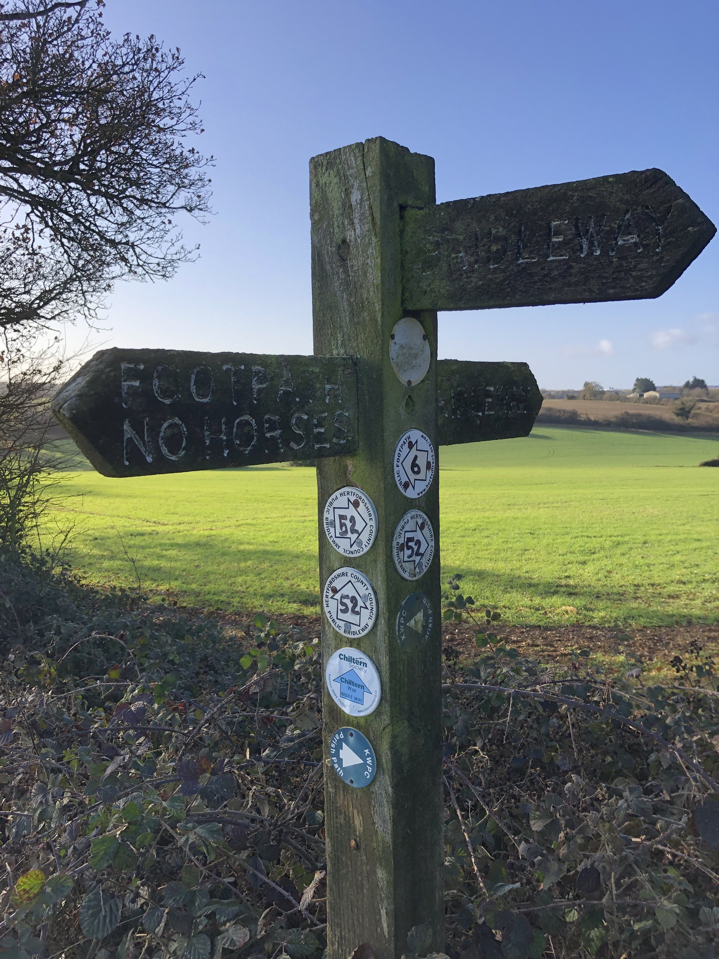
This is the fourth of a series of point to point walks on the Chiltern Way. The full trail is approximately 177 miles (285 km) long, depending on which extensions you take, and takes a large circle around the Chiltern Hills National Landscape. My friend Brian and I have been doing a section a year on or around the Winter Solstice since 2019. At the current rate we plan to be finished in December 2027. The Chiltern Way is well sign-posted however you should take a map or GPX route to keep on track and be prepared for all weathers. This post isn’t intended as a fully accurate turn-by-turn guide.
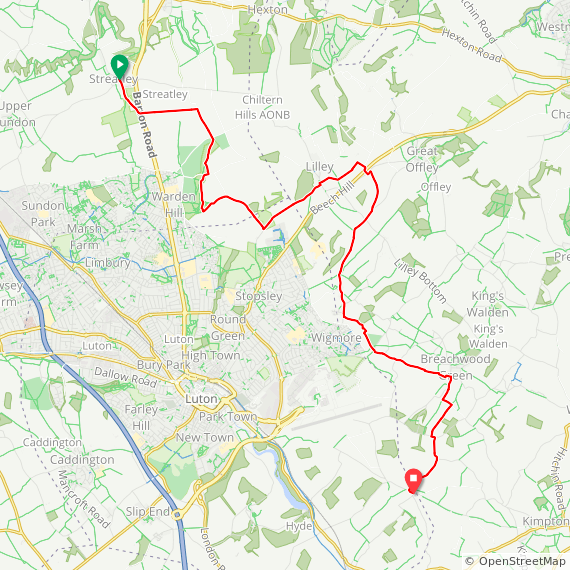
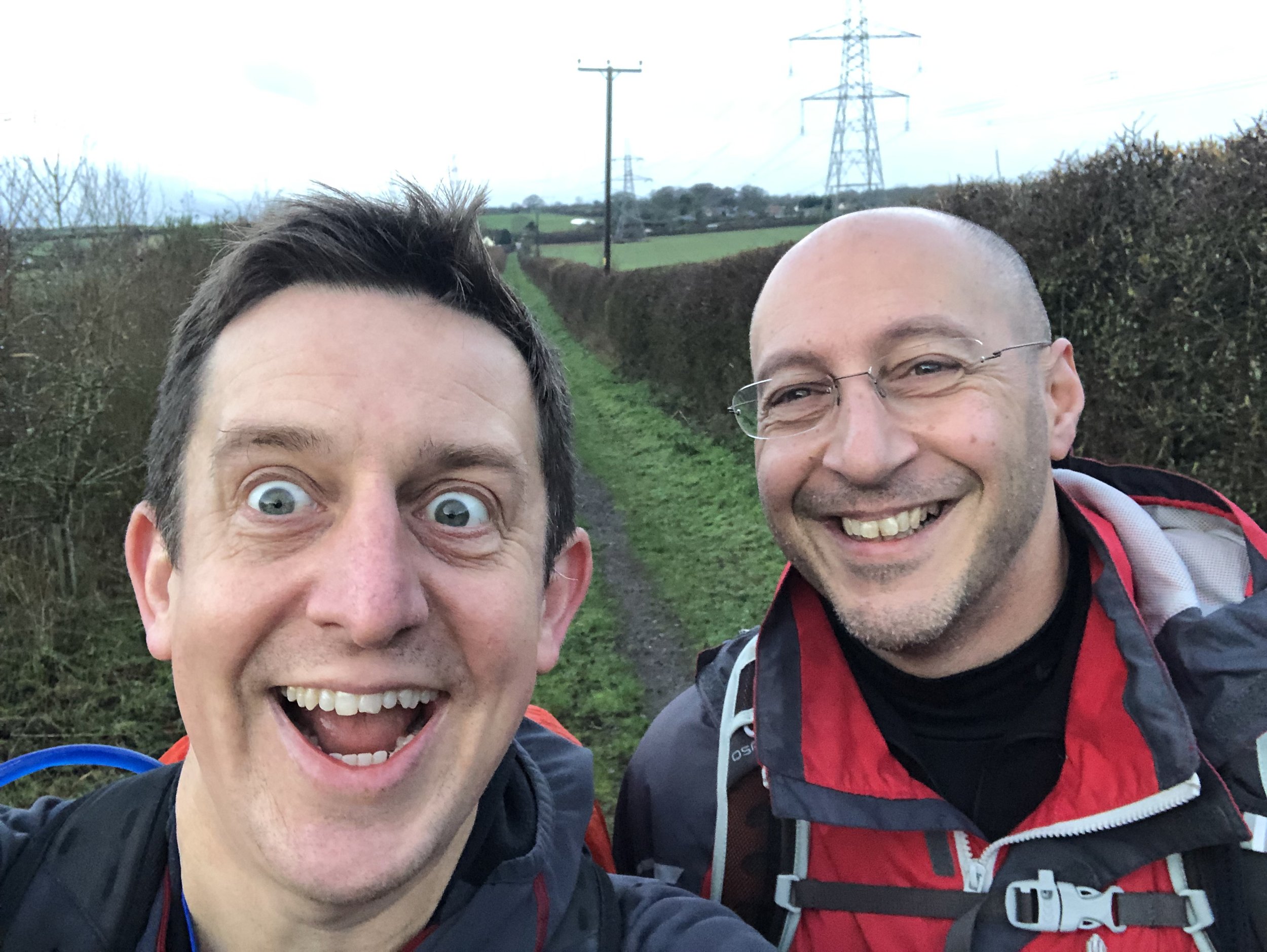
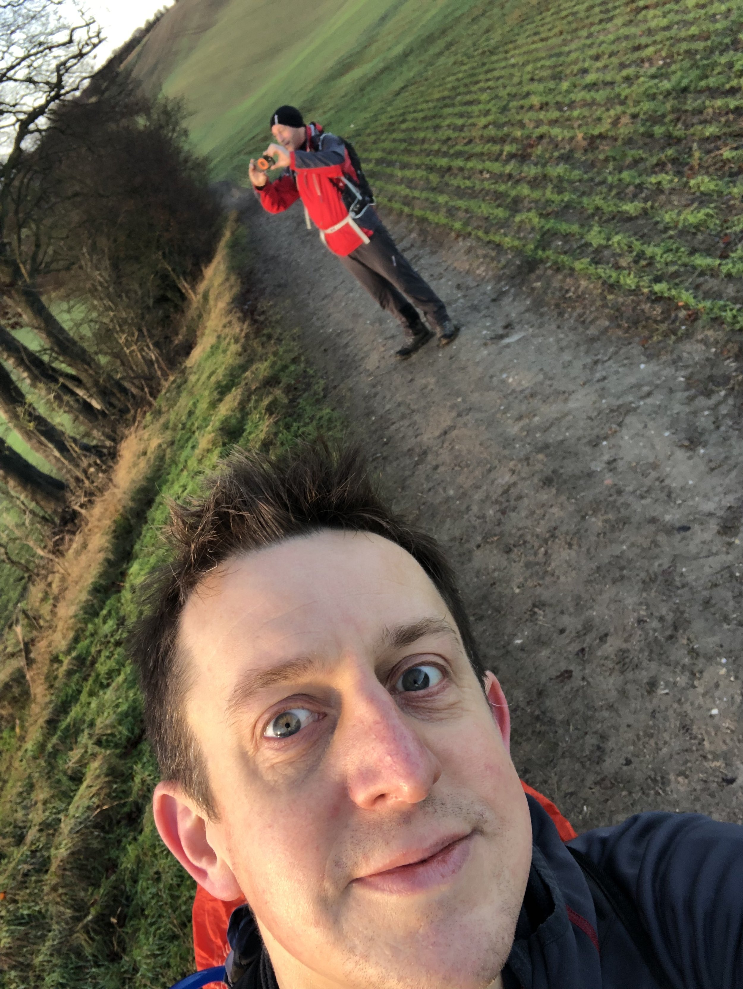
It had been 2 years since Brian and I had been on the Chiltern Way. An operation had put him out of action last winter so we skipped a year. Our Summer Solstice way on the River Ver Trail was a good test that his body was functioning again and were back on the trail. We finished Part 2 at Chalk Hill on the A5 but had already covered the next section to Streatley a couple of years previously on the Icknield Way. Rather than cover those 17 km again we picked up the trail at the Chequers pub in Streatley.
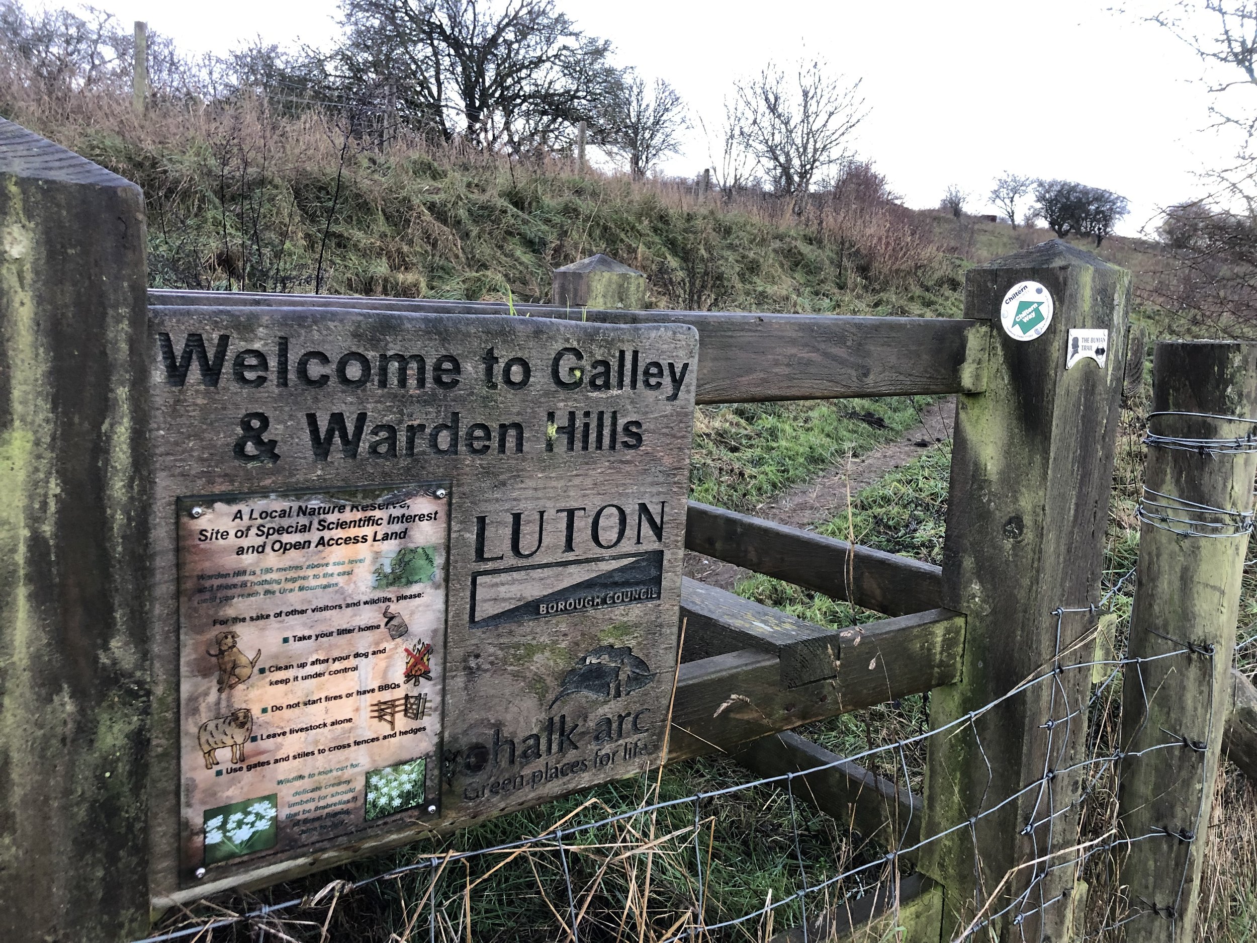
From Streatley the Chiltern Way splits off from the Icknield Way for 3 km, reconnecting with it on the ascent up to Warden Hill. After 4.5 km you’ll be at the highest point on this section where you can hop over the fence to bag the Warden Hill Trig Pillar. This is also a great spot to get a panorama of Luton town and the rest of the Chilterns the other side of the gap.
Despite being the highest point on this section, Warden Hill isn’t the highest point in Luton as it’s just outside of the town boundary. You’ll reach the Luton High Point a further 2.5 km from the Trig Pillar at the entrance to Whitehill Farm at the end of Butterfield Green Road. There’s nothing of interest here and I forgot to take a photo to mark the spot, but you can get a good view of it on Google Street View.
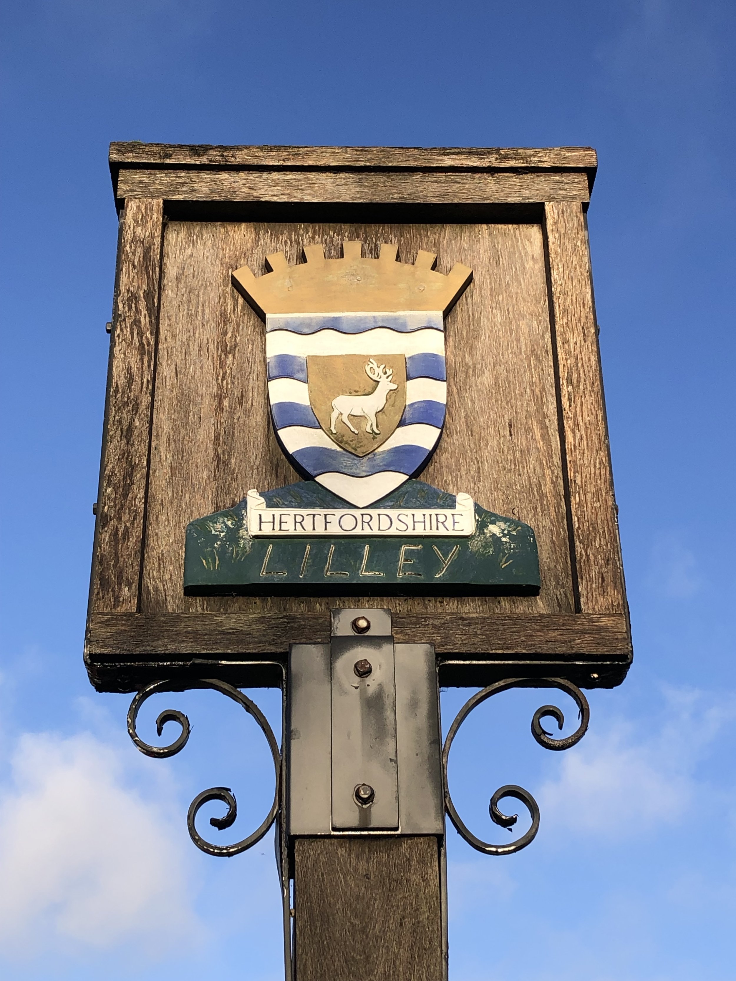
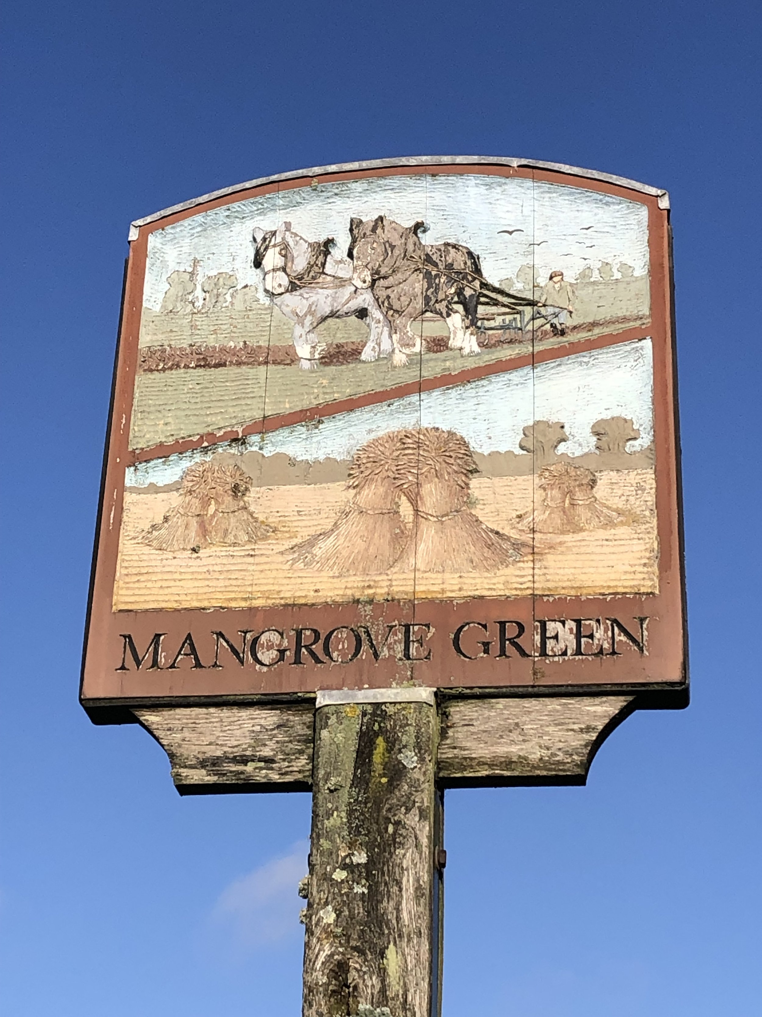
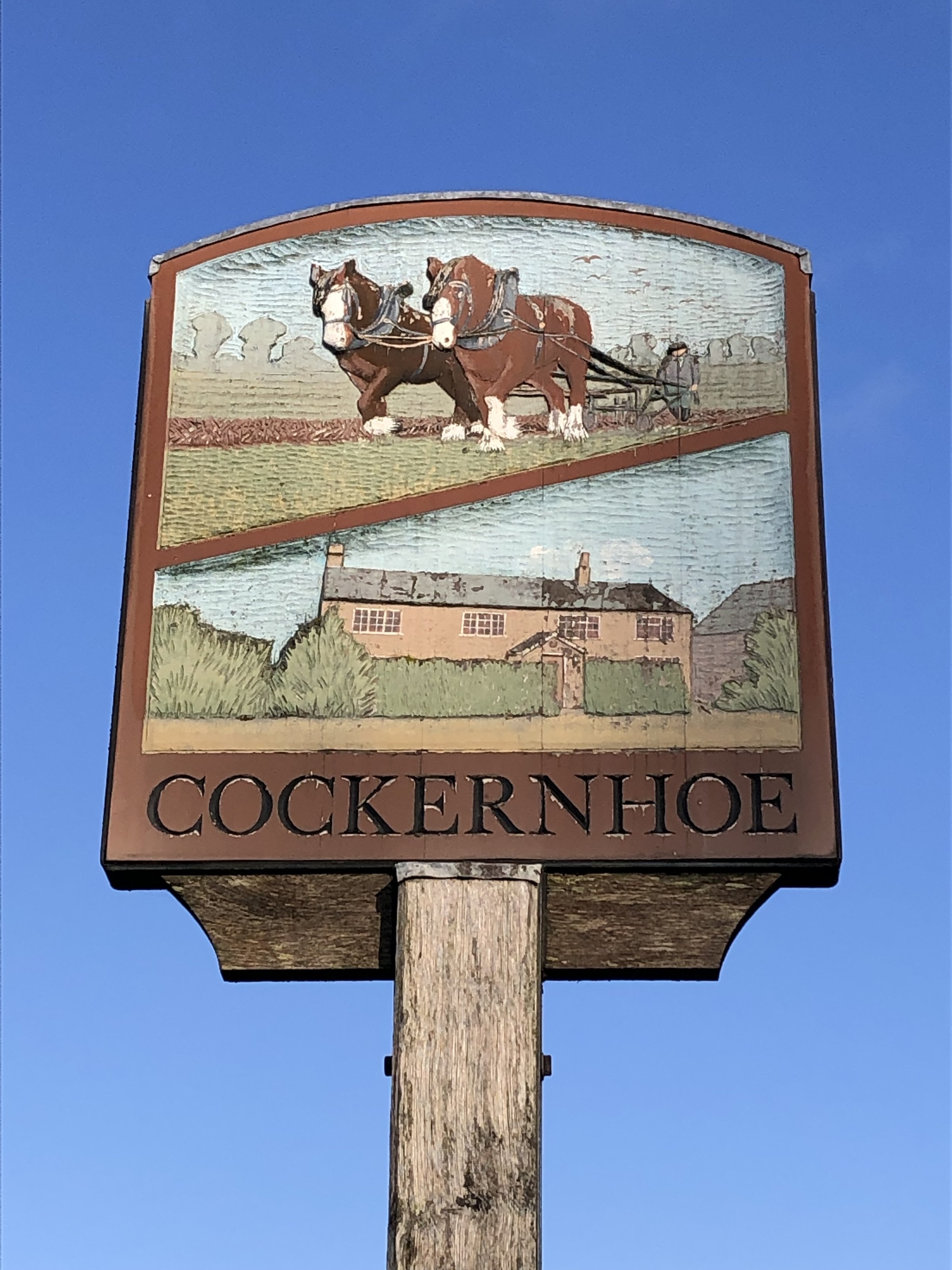
From Whitehill the route descends to Lilley where you’ll find the first pub on this section after Streatley. We were looking forward to a morning coffee but had arrived an hour too early and it wasn’t open yet. Instead we pushed on a further 4.5 km to Mangrove to visit the King William pub but also found it to be closed. Getting to pubs at the wrong time was becoming a theme for our Winter Solstice walks. By starting so early in the day we were covering a lot of ground before pubs opened. For this trip there were no more pubs or cafes between Mangrove and the finish point so broke into our emergency rations and carried on.
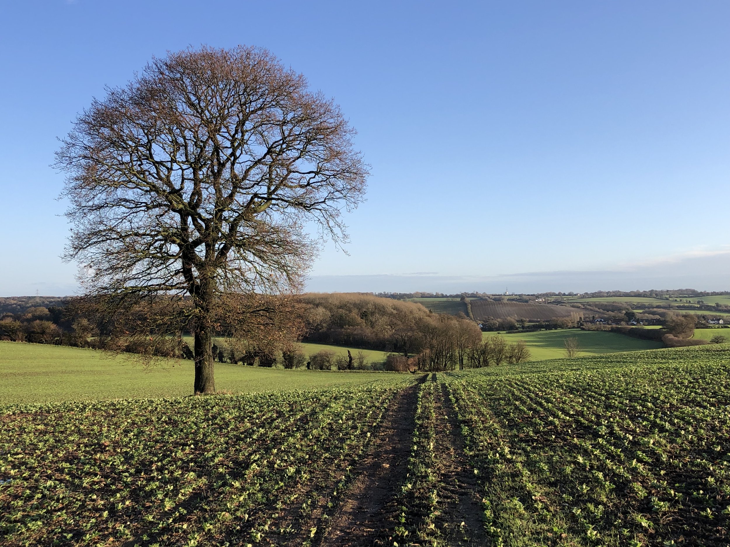
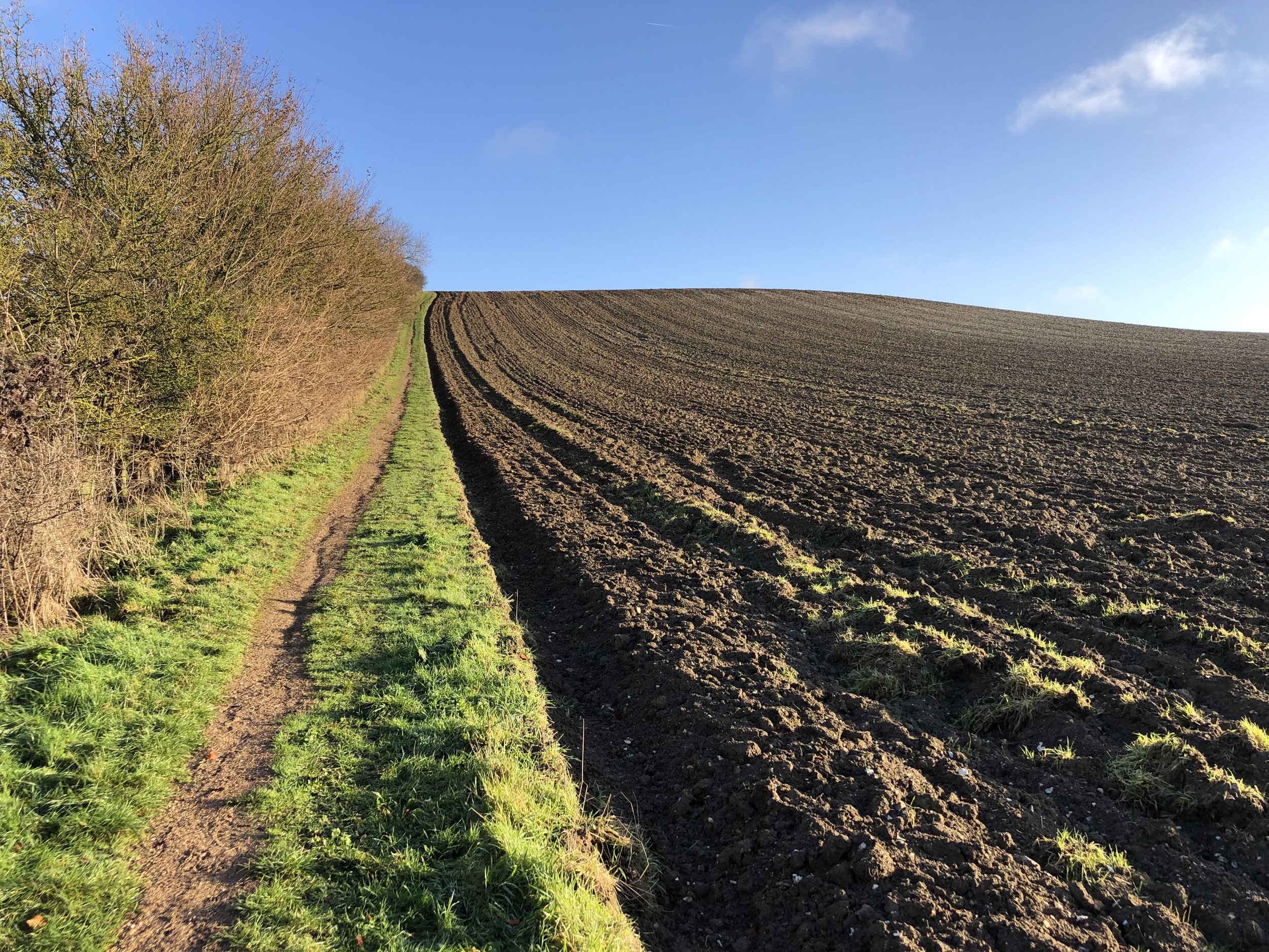
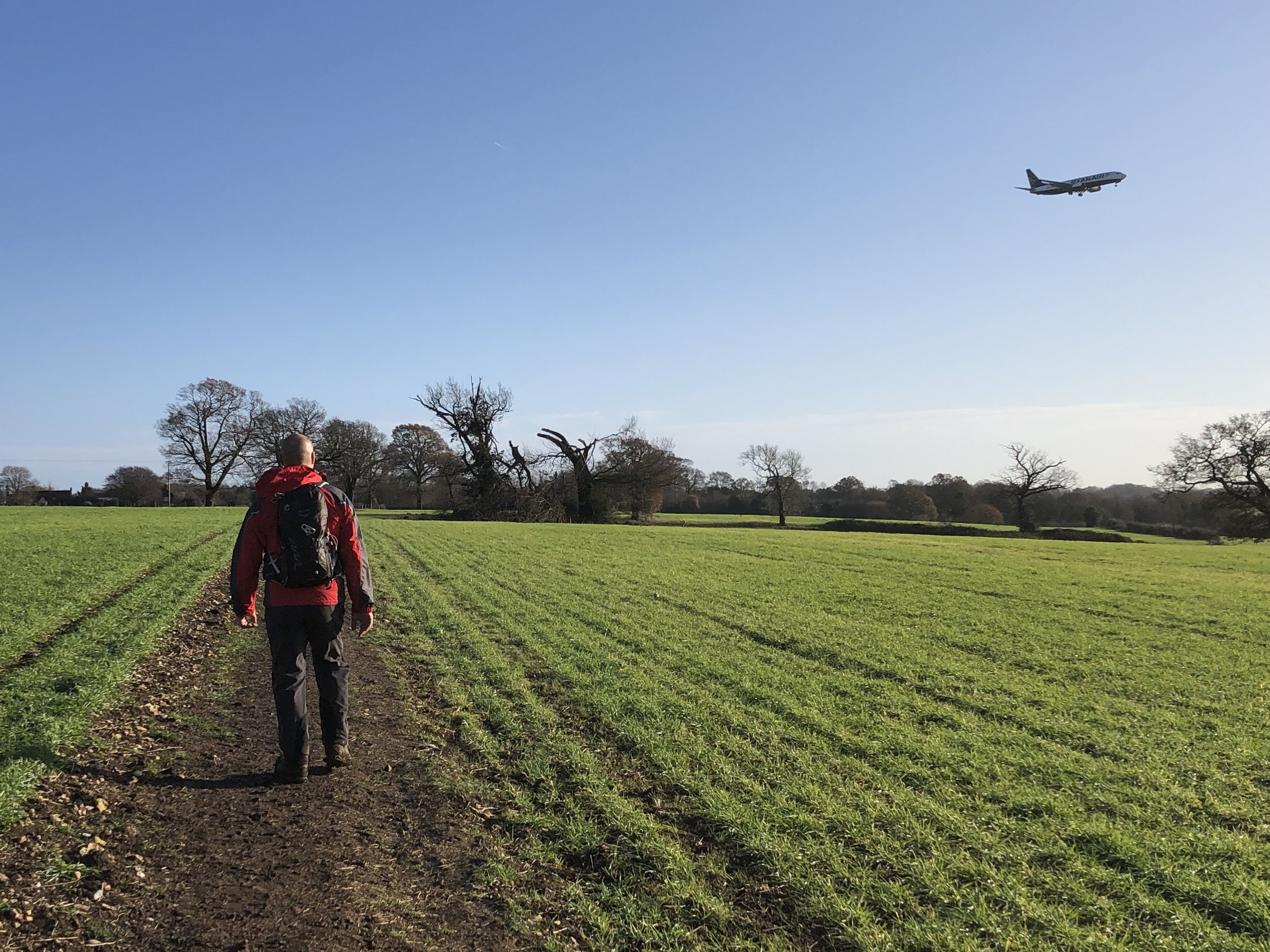
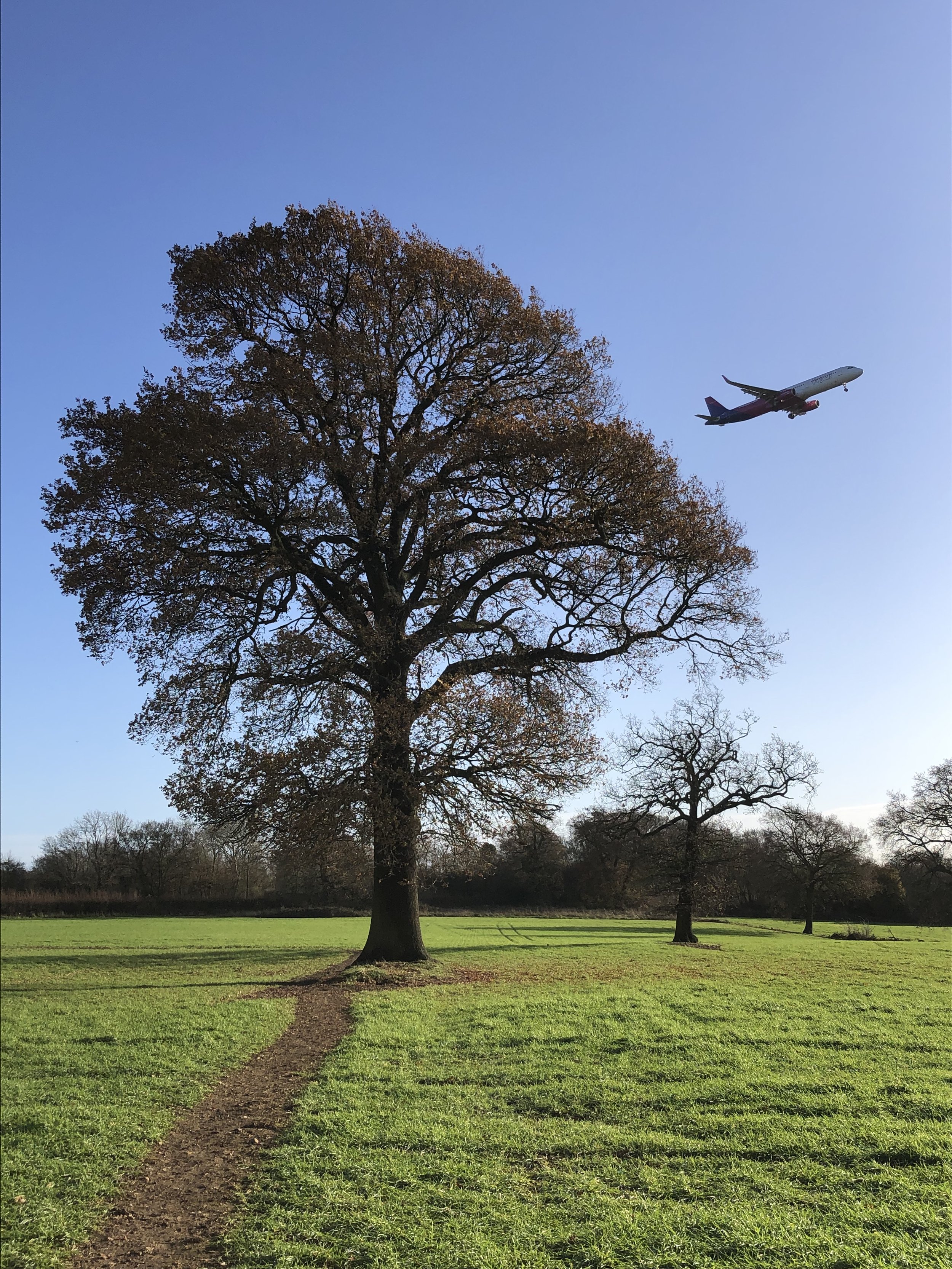
The final part of this section is a curve around Luton airport. It’s a pleasant section through farms and woodland with the occasional jet descending overhead and a a whiff of kerosene.
This was a much easier section than I expected. The forecast was for heavy rain and I was preparing for the sticky mud that we had experienced on previous sections. As it turned it it was a bright, dry day will little mud. This brought us to the end point at lunch time rather than sunset giving us a shorter than expected Solstice walk. We weren’t complaining though as our main thought was lunch at the Bright Star pub. The good news was that it was open. The bad news was that it wasn’t serving food. We returned by car to the Chequers at Streatley, our lunch stop on the Icknield Way for a big plate of fish and chips.
Don’t get put off by this section when you look at it on a map. By being so close to Luton town and the airport you could mistake it for being a less pleasant part of the Chiltern Way. The reality is that the trail keeps to the hills and farms outside of the town.
Whitehill-Butterfield Green
Significance: Highest point in the Unitary Authority of Luton
Member of: N/A
Parent Peak: Wendover Woods (Haddington Hill), NHN = Dunstable Downs
Historic County: Bedfordshire (of which Dunstable Downs is the County Top)
Elevation: 178m
Date “climbed”: 20th December 2022
Coordinates: 51° 54' 53'' N, 0° 23' 40'' W
Map: Luton & Stevenage Map | Hitchin & Ampthill | Ordnance Survey | OS Explorer Map 193
Links: Wikipedia (Luton), Peakbagger, Hillbagging

Previous section: Walking The Chiltern Way Part 3: Chalk Hill to Streatley
Next section: Walking The Chiltern Way Part 5: Peter’s Green to Shubhill Common