Chiltern Walks: Stokenchurch and The Ridgeway

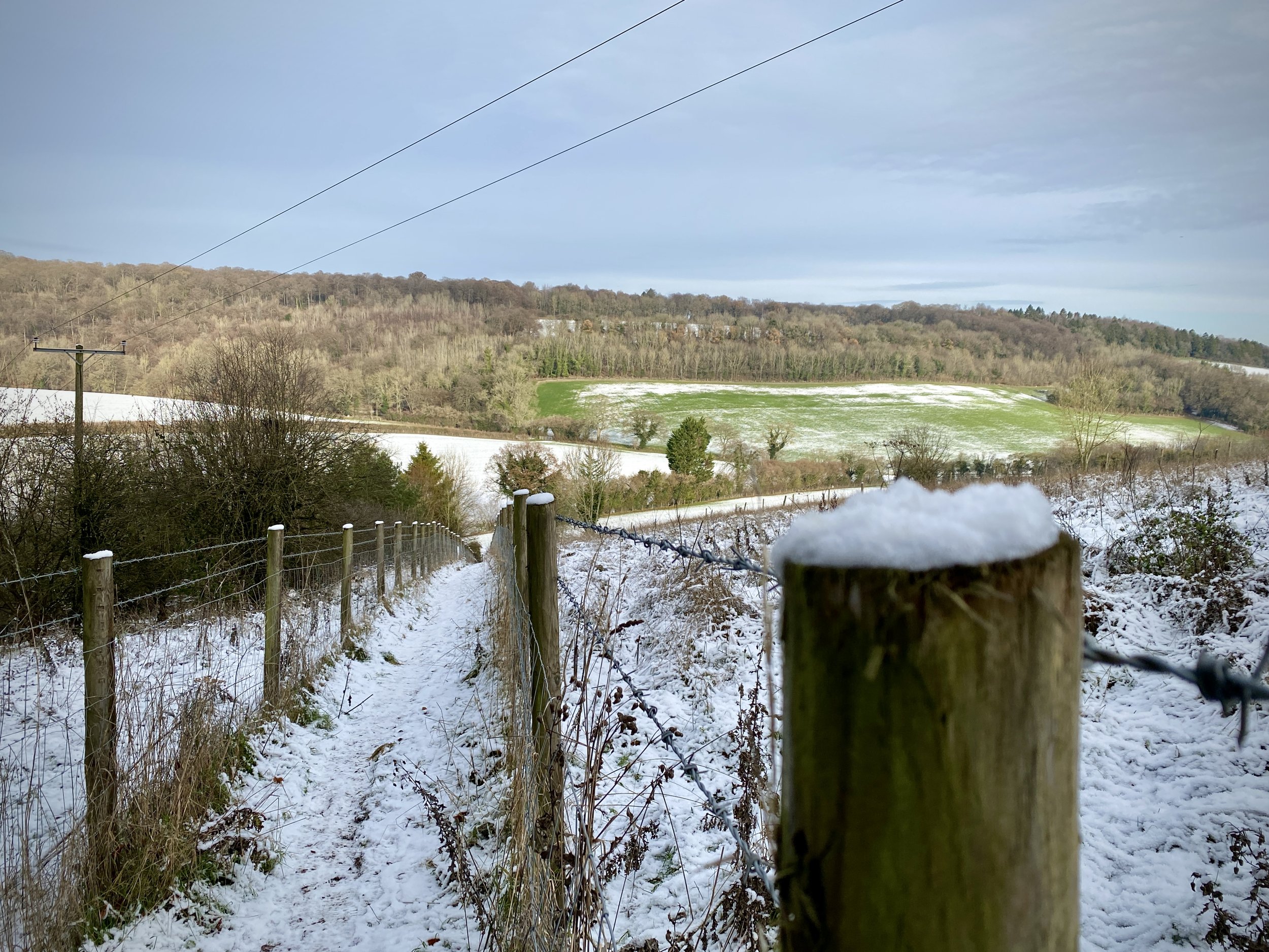
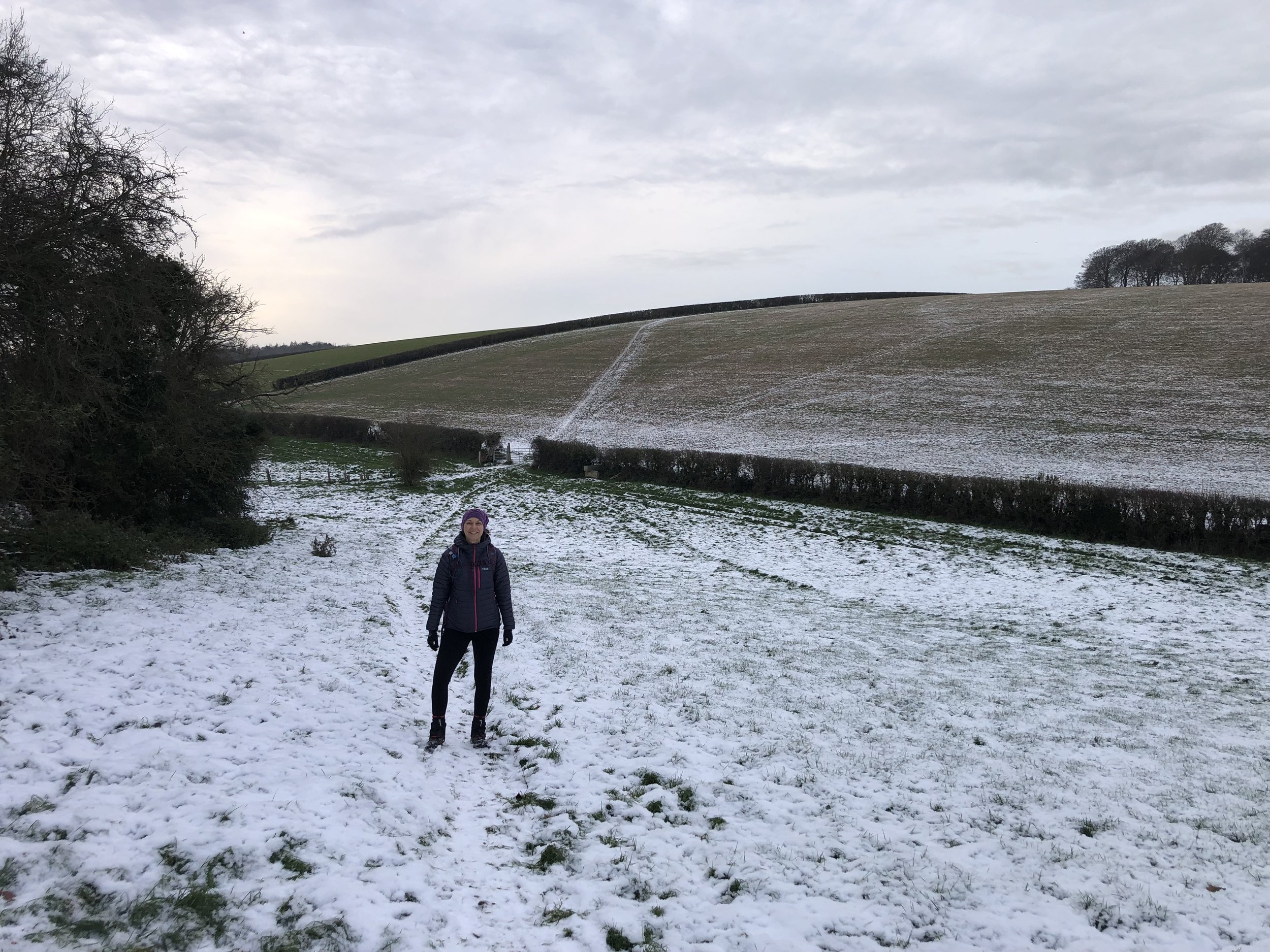
View to Radnage
Start & Finish: Free on-street parking around or near The Common, Stokenchurch, HP14 3QA
Distance: 10.6 km (6.6 miles)
Elevation change: +/- 231m
GPX File: get via Buy Me a Coffee
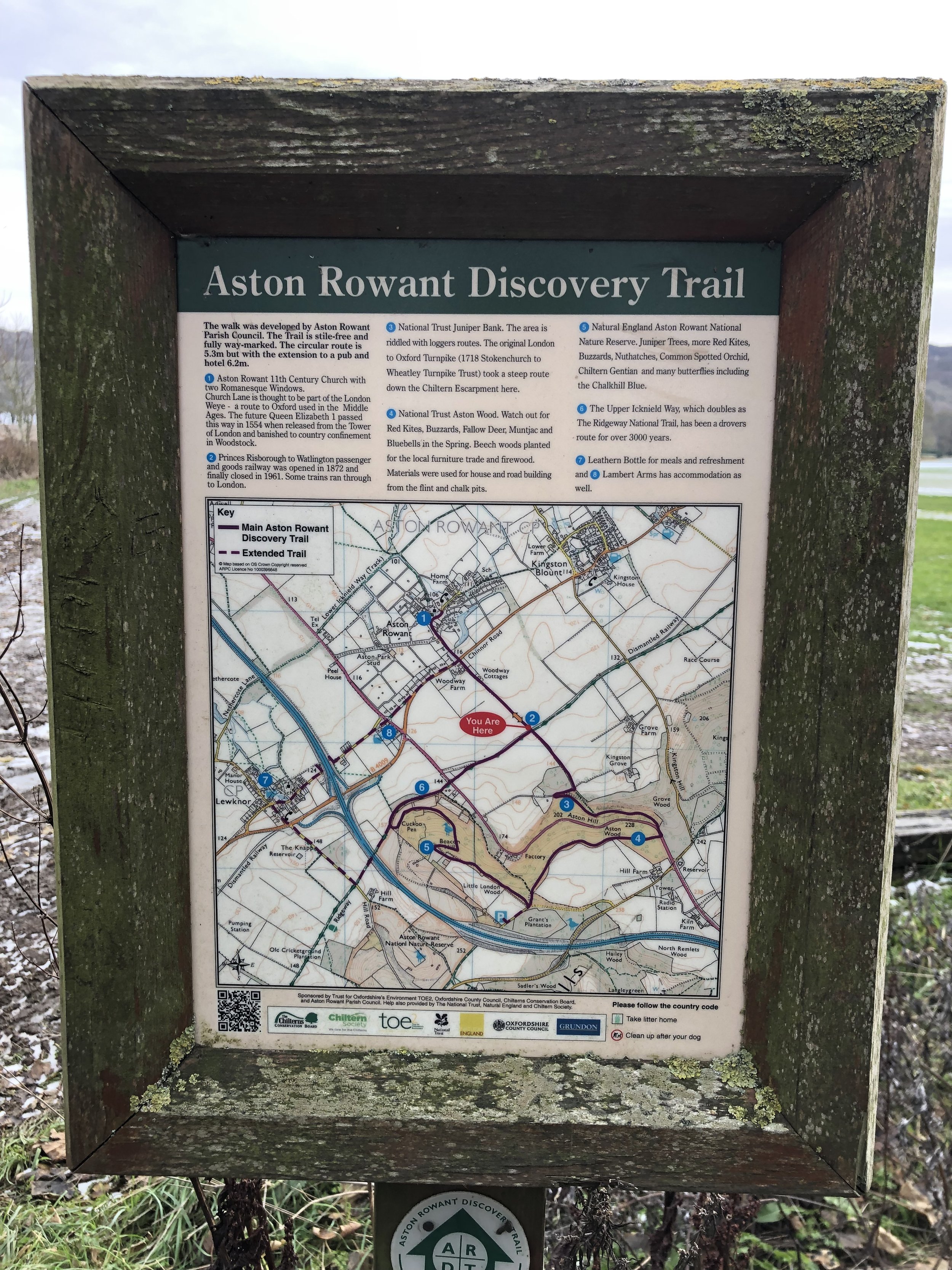
Other routes touched (walk): The Chiltern Way, The Ridgeway, Aston Rowant Discovery Trail
Other routes touched (cycle): Chilterns Cycleway
Pubs / Cafes on route: Several in Stokenchurch at the start and finish, plus the Sir Charles Napier pub (2.4 km in)
Map: - OS Explorer Map (171) Chiltern Hills West, Henley-on-Thames and Wallingford
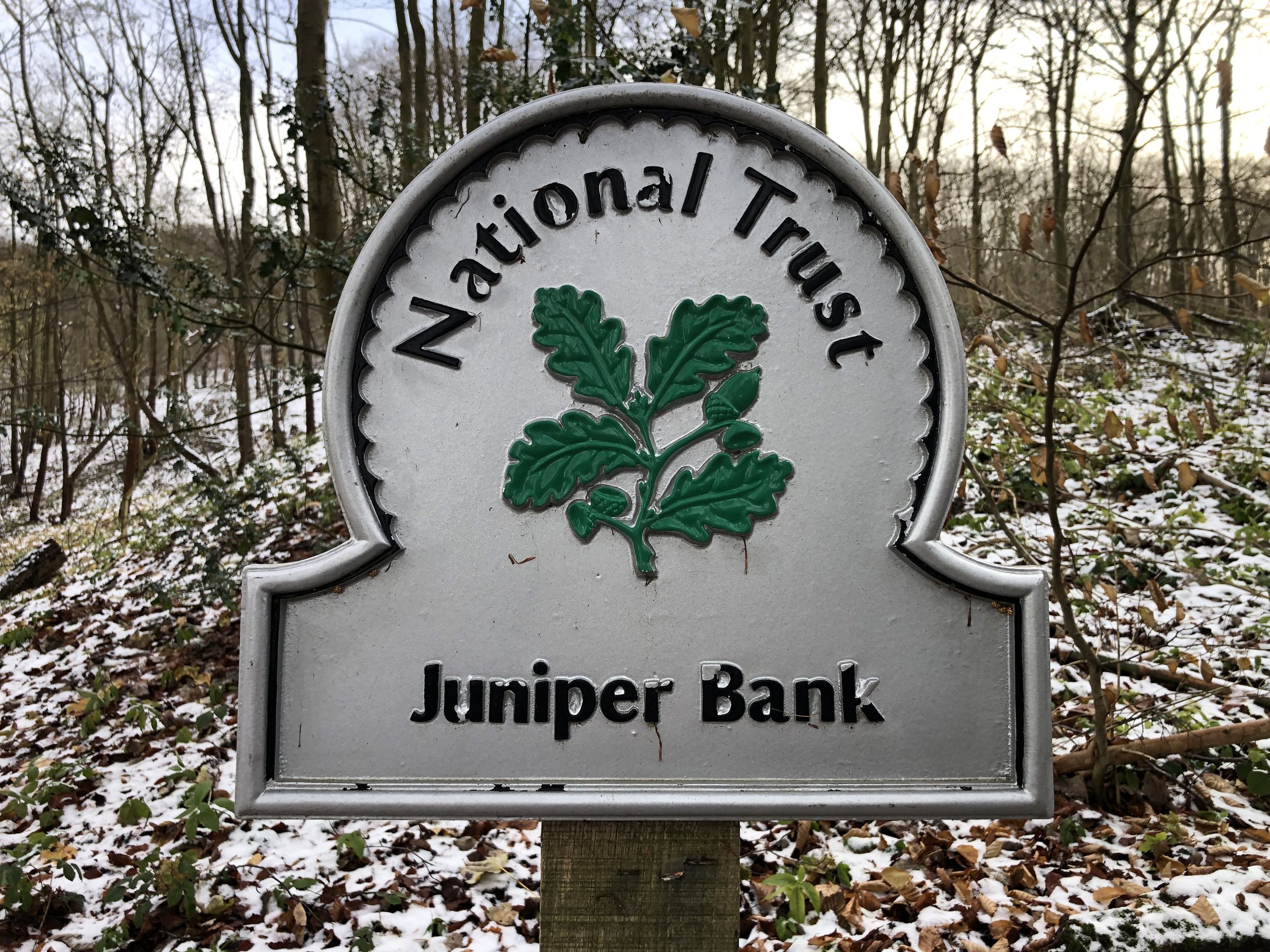
Links: Stokenchurch, The Ridgeway, Aston Wood & Juniper Bank (Woodland Trust)
This is part of a series of short circular walks in the Chilterns. The guidance below will help you navigate but don’t use it as a fully accurate turn-by-turn guide. Always take a map and/or a GPX route and prepare well for the weather and terrain.
For this walk we retuned to Stokenchurch where we visited a week earlier for our Stokenchurch and Radnage walk. Parking at the same place opposite the Kings Hotel we retraced our steps along the Chiltern Way for 300m. Rather than continue along the Chiltern Way the route follows Park Lane for another 400m then takes a footpath heading north where Park Lane curves to the right. Keep following this path in a northerly direction until you reach the Sir Charles Napier pub on Sprigs Holly Lane. There’s a few path junctions to navigate on this section so keep a close eye on your map to make sure that you reach the pub.
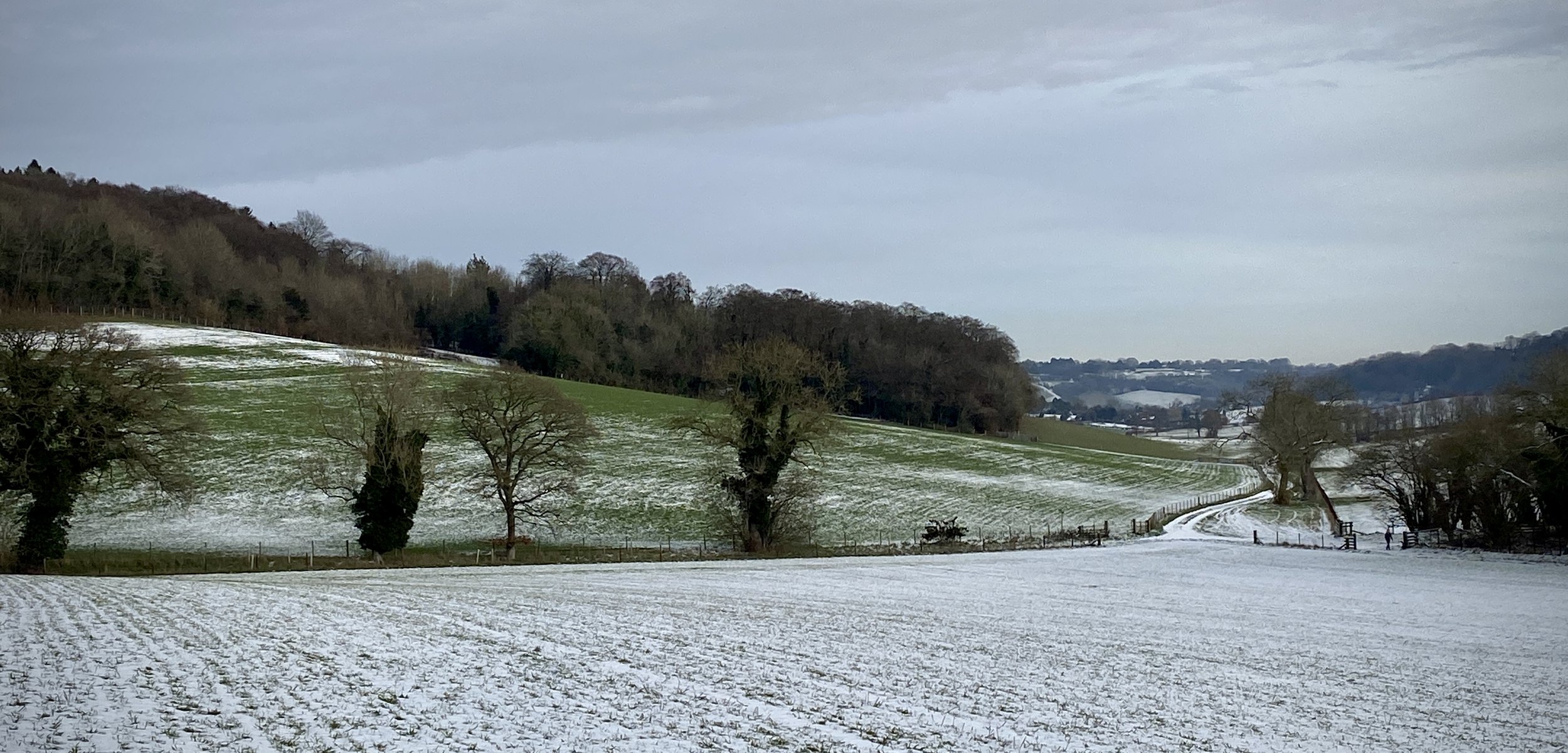
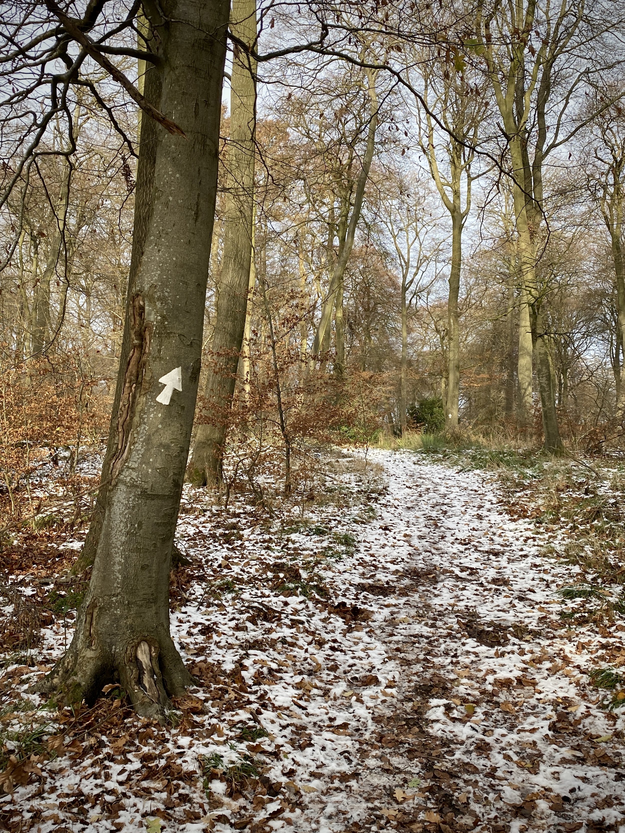
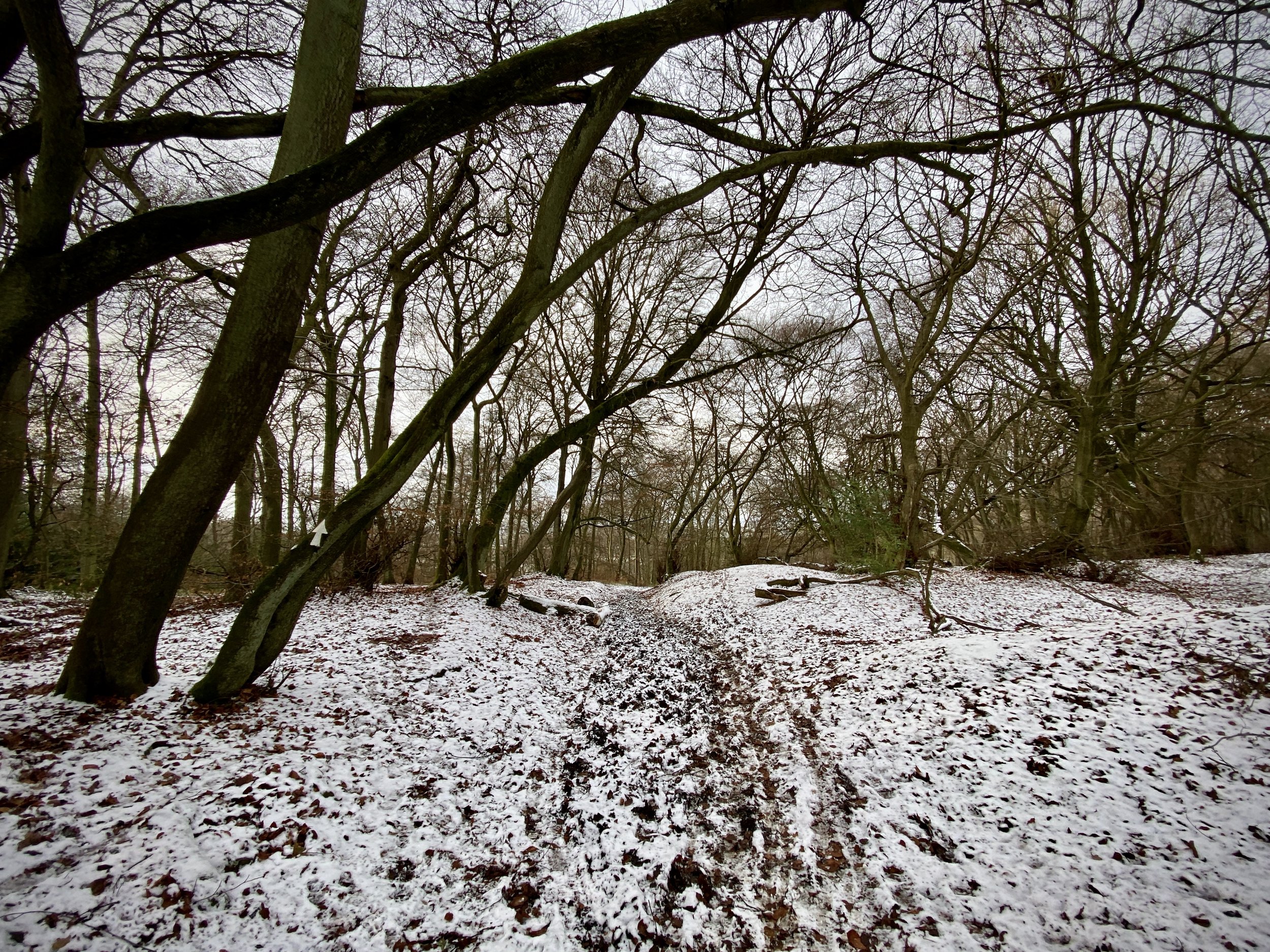
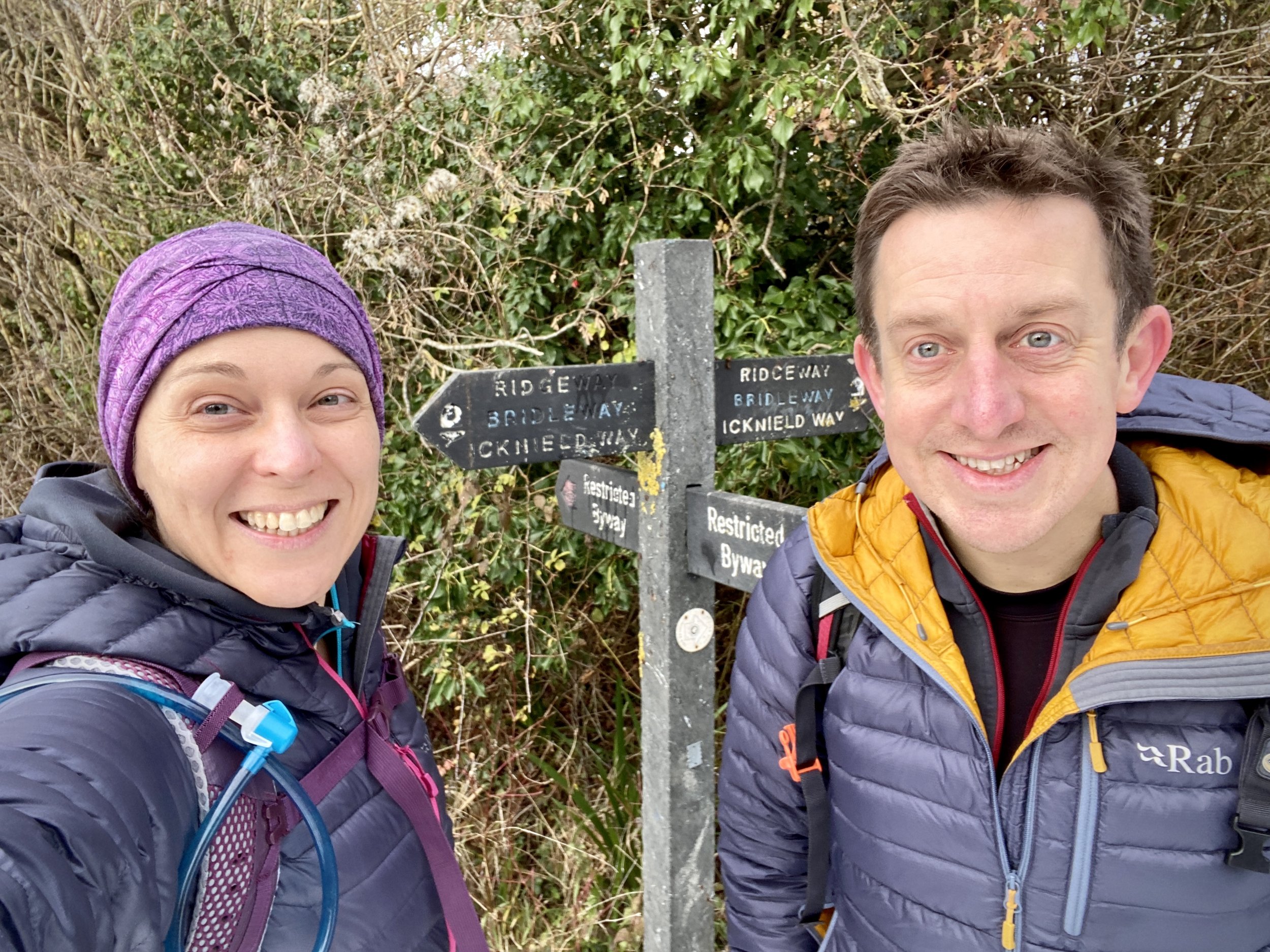
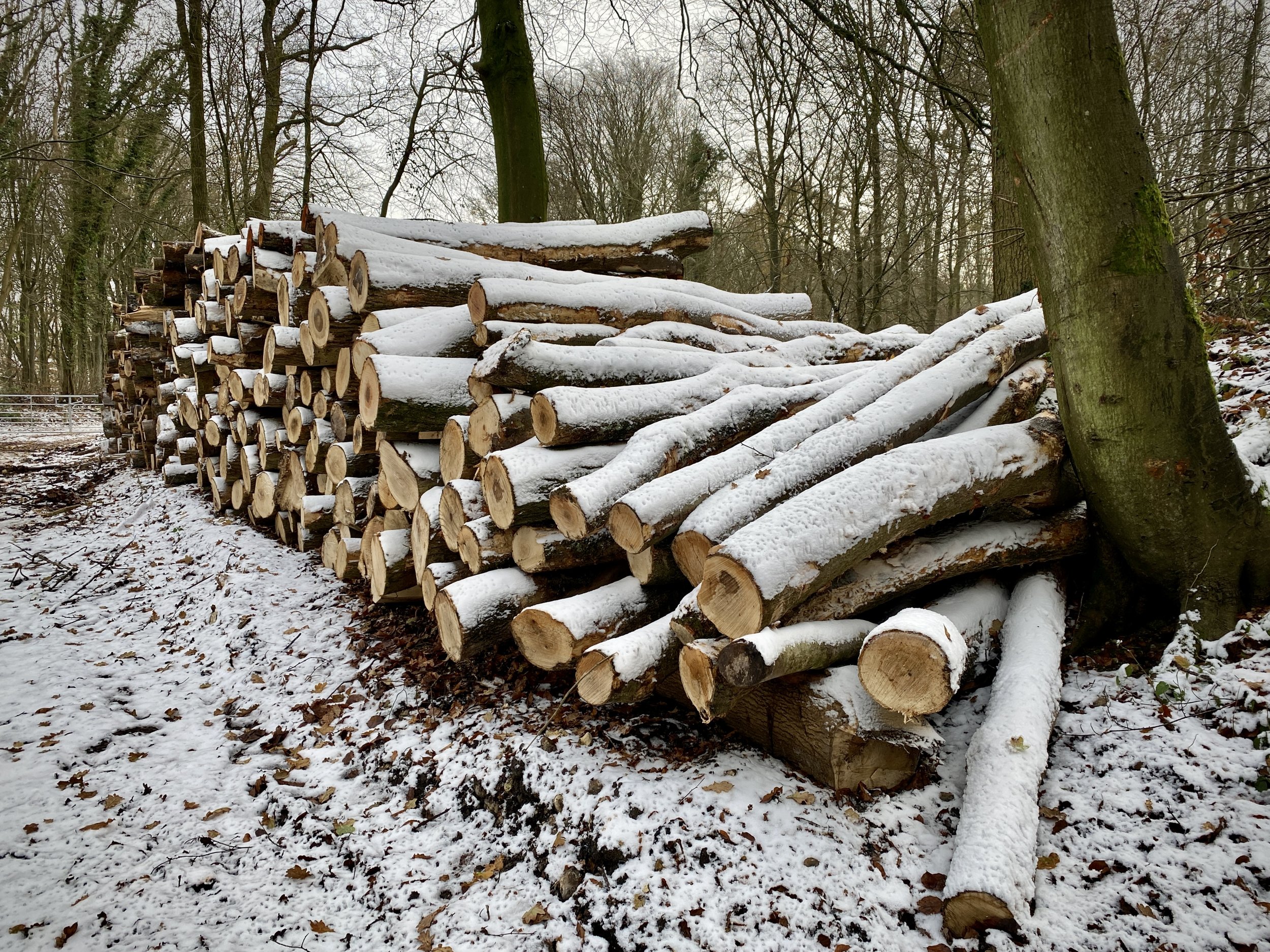
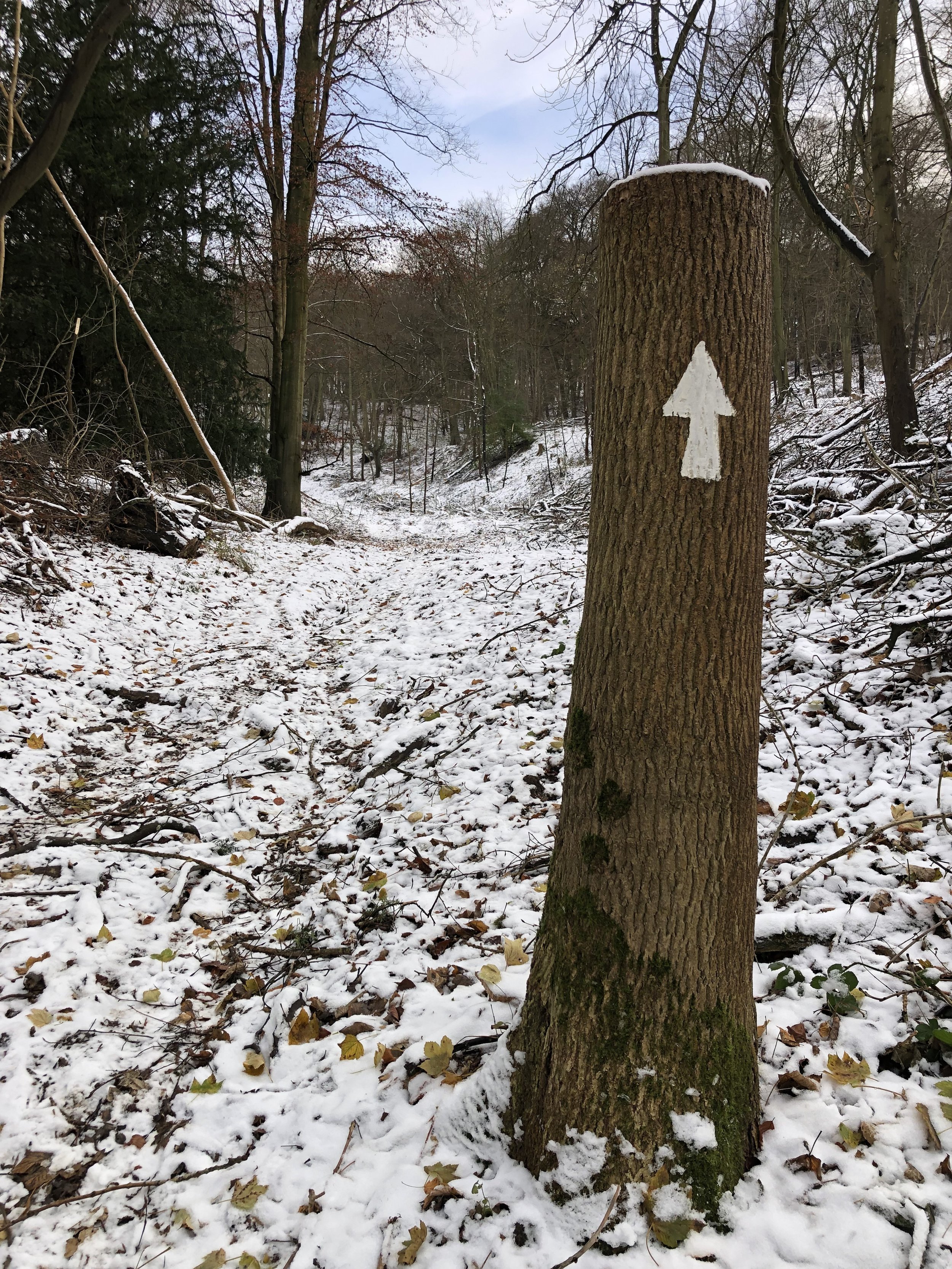
Take a left onto Sprigs Holly Lane, walking in a north-westerly direction as it becomes Chinnor Hill (road). After 900m from the pub take a footpath into the woods when the road curves to the right. Descend steeply through the woods for 800m to reach the Ridgeway. Take a left onto the Ridgeway and follow it for 2 km to the junction with the Aston Rowant Discovery Trail. Take a left onto the trail, leaving the Ridgeway and ascend through Juniper Bank and Grove Wood to the A40.
Follow the A40 for 300m then take a left onto Kingston Hill (road). The A40 can be very busy but there’s a safe path on the left hand side. Follow Kingston Hill for 200m then take a right onto a road leading to a farm. The farm road becomes private property after the gatehouse so you’ll need to take the footpath on the left to divert around the field. Take the first right onto another path that crosses the front of the farm. From the farm continue along the path for 1.2 km to re-enter Stokenchurch at Chalk Farm Road.