Cycling The Ewelme Brook

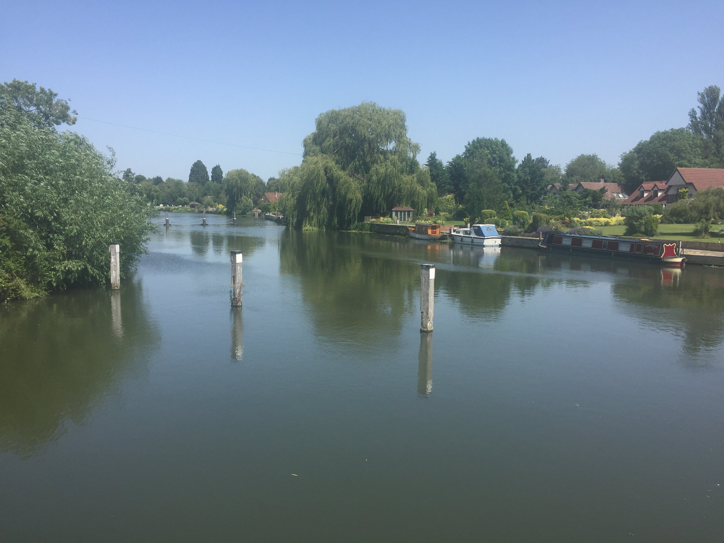
Weir near Benson Lock
Part of the Chiltern Rivers Series
River start: Ewelme Village, Oxfordshire
River end: Confluence with the Thames just North of Benson Lock
River length: 3.7 km (2.3 miles)
Cycle route start / end: Circular from parking space near pond in Ewelme Village
Cycle route length: 12 km (~7.5 miles)
Cycle route elevation change: +/- 130m
GPX File: get via Buy Me a Coffee
Other routes touched (walk): Thames Path
Other routes touched (cycle): Chilterns Cycleway
Map: OS Explorer Map (171) Chiltern Hills West, Henley-on-Thames and Wallingford
Links: Ewelme, Benson, RAF Benson, South Chilterns Catchment Partnership: Ewelme Stream
After my New Years trip along the Mimram I was happy to claim my Chilterns Rivers project completed. Then I remembered the Ewelme Brook .... and then discovered the Ouzel too. This project would take a bit longer.
Even after remembering the Ewelme Brook I nearly didn’t bother going there. It’s only 2 miles long and it's on the far Western edge of Chilterns. Didn’t really seem worth the effort of getting there. It was only the coincidence of doing a tourist visit to a nearby parkrun that got me there.
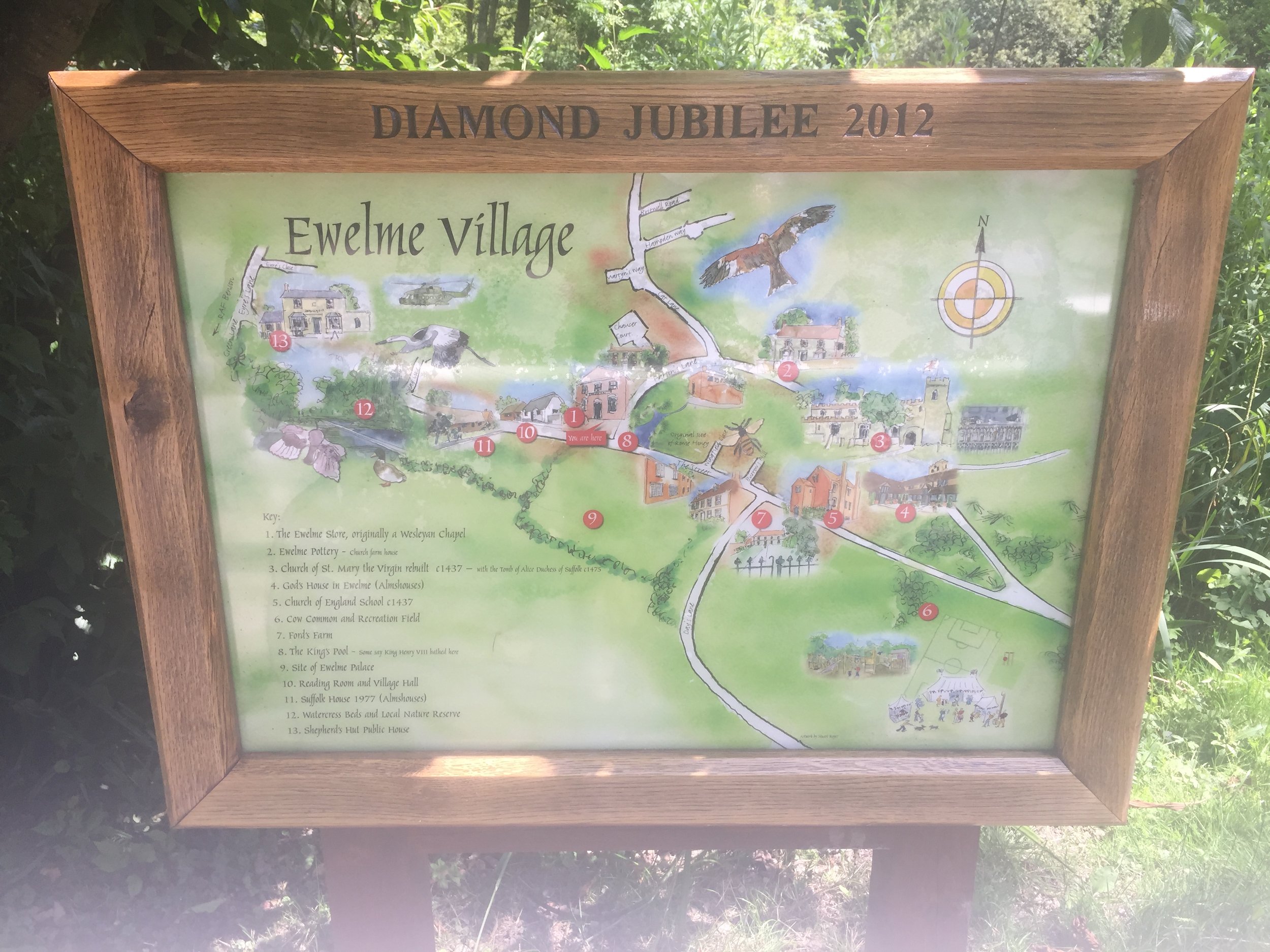
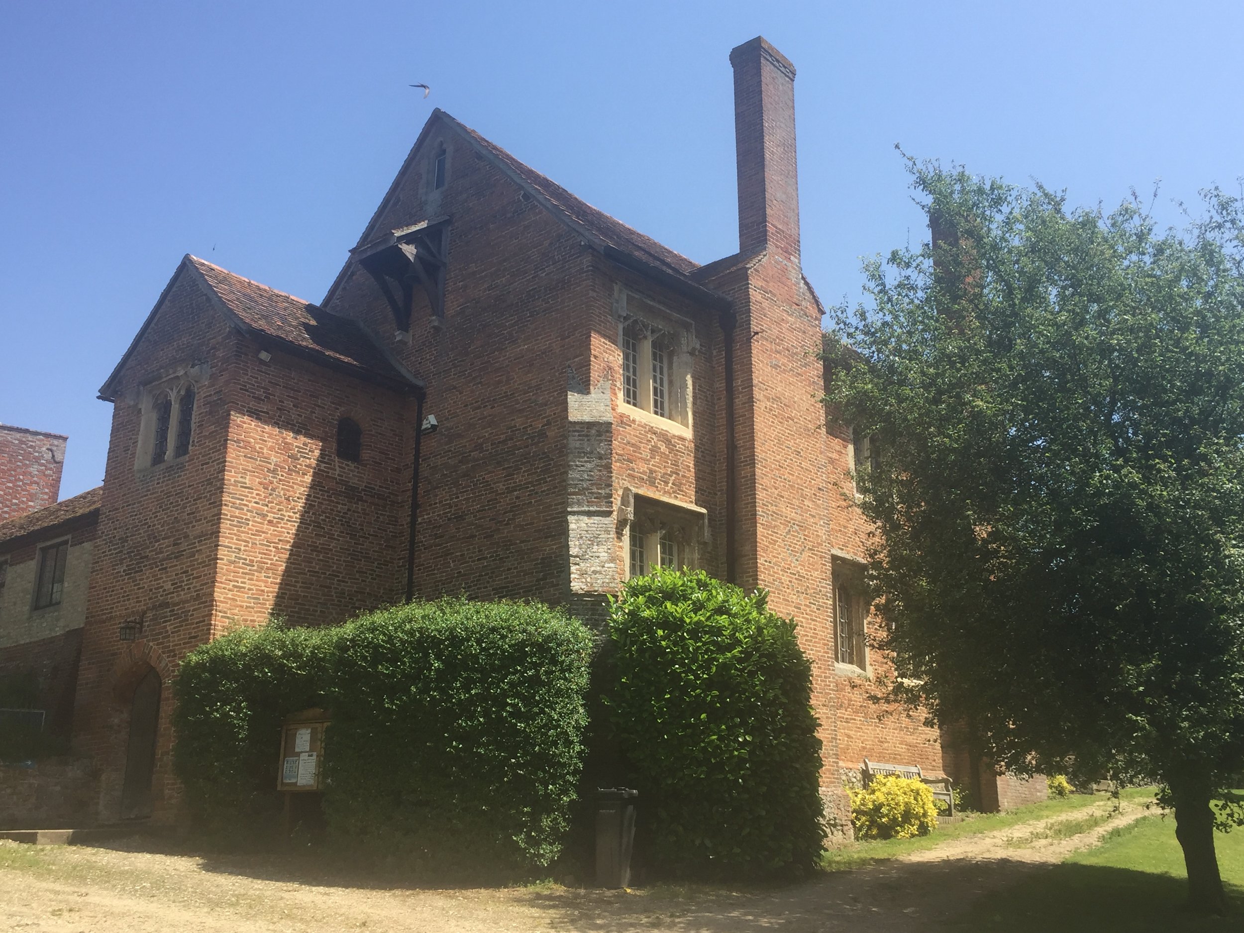
I was so glad I did. It’s beautiful. Ewelme is a lovely Chilterns village most people have never heard of. Given the low readership of my blog that likely to remain the case for a while. Having said that, Ewelme was an unlikely location for a recent episode of Black Mirror so it may be attracting more geeks like me.
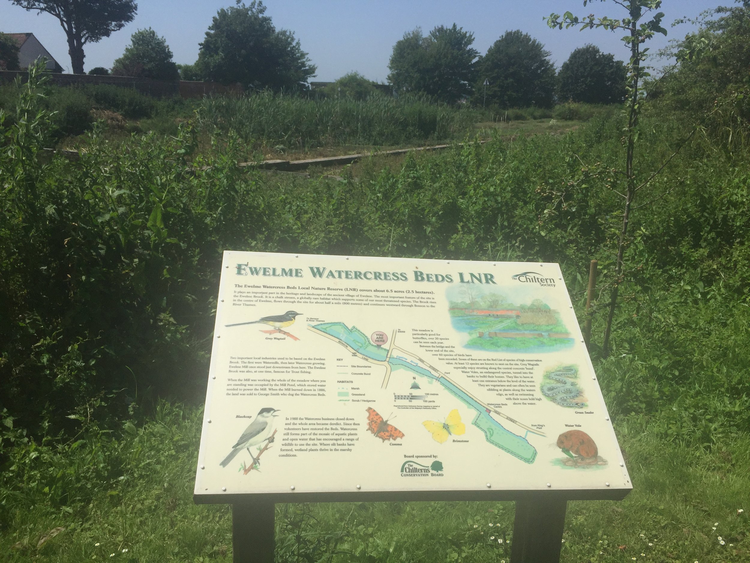
There’s not a lot online about the Ewelme Brook so I wasn’t sure where the exact source was. The village pond seemed like a good a place as any to start and it more or less matched the start of the Brook on the map.
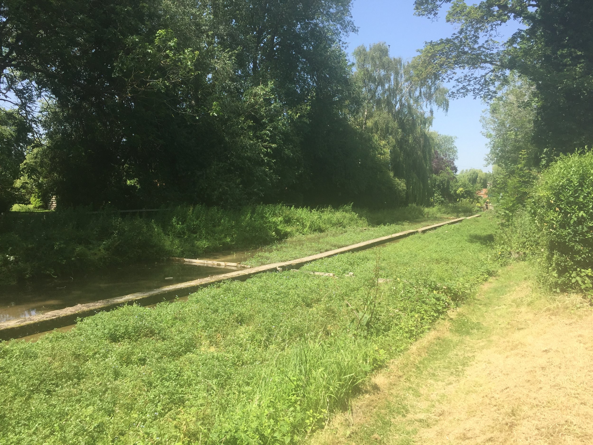
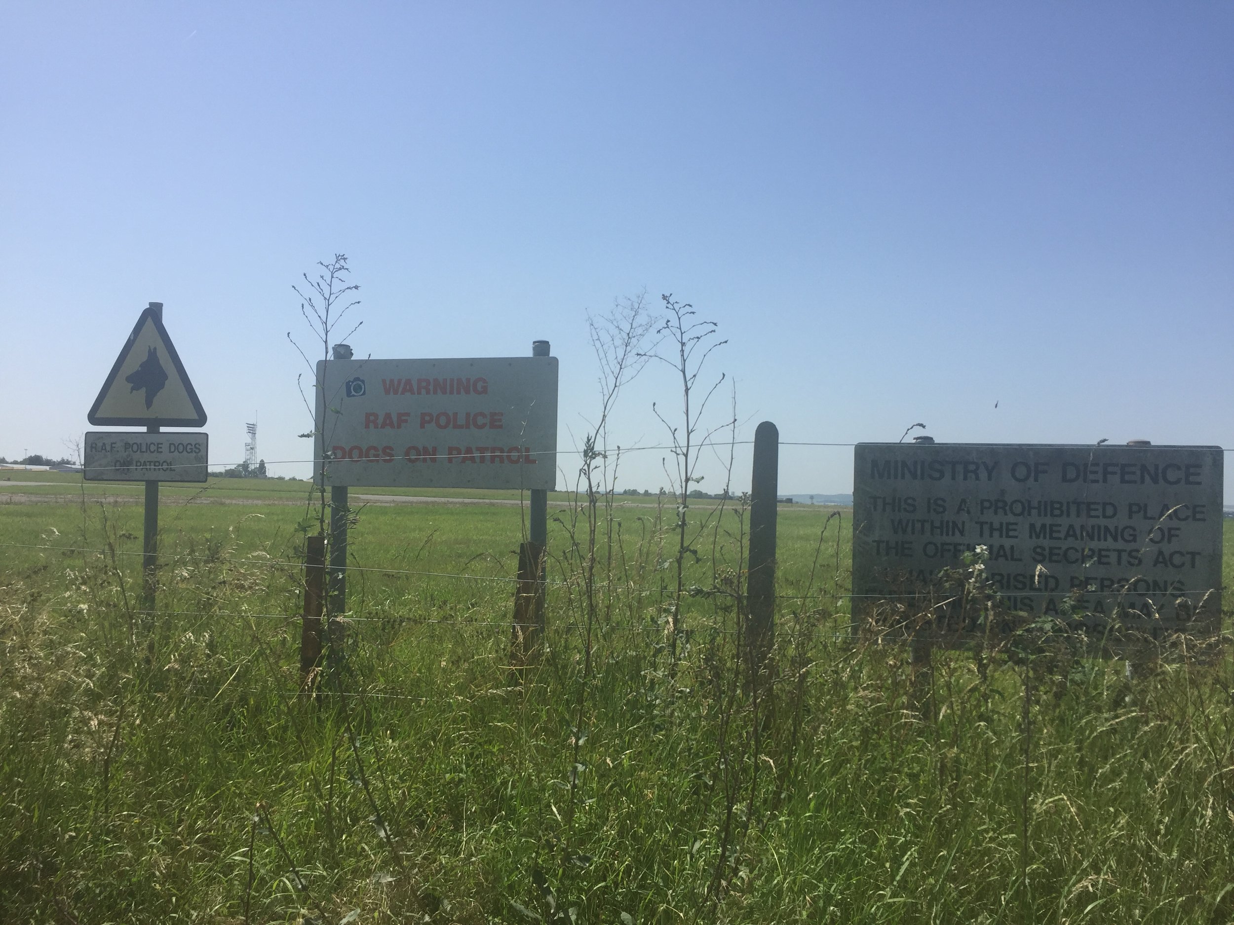
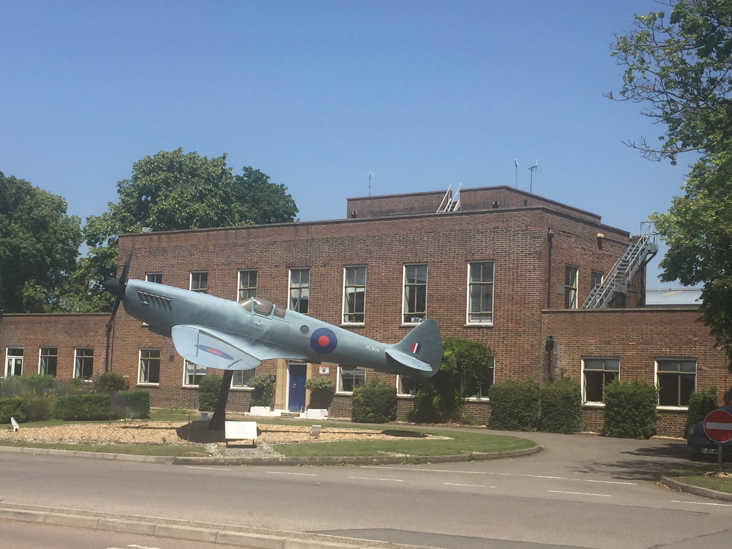
From the pond the Ewelme-Benson road follows tightly to the Brook for most of its course to the end. At 1 km in you'll reach the boundary of Benson RAF base and several signs at the end of the runway to keep people out. At Benson High Street the Brook disappears from the road, appearing again as it crosses under a small lane parallel to the A4074.
The confluence with the Thames appears to be in the back garden of a private house called Silver Waters, although you can see the Thames from the lane. For a better view continue south for about 100 meters to a footpath that takes the Thames Path across Benson Lock.
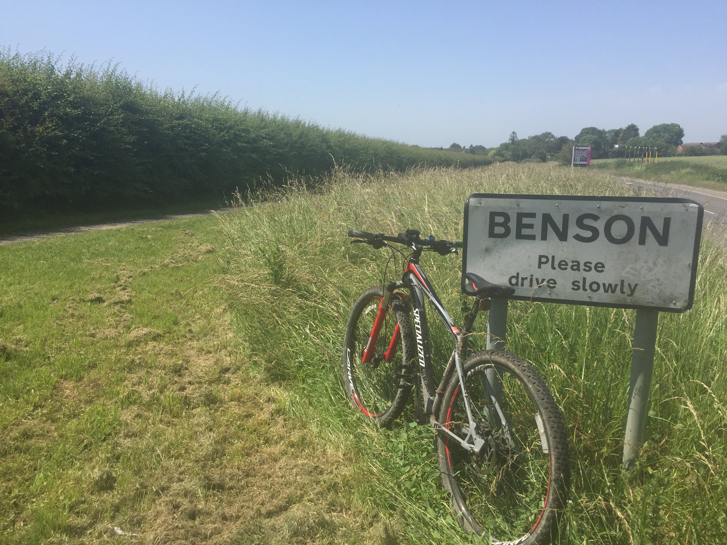
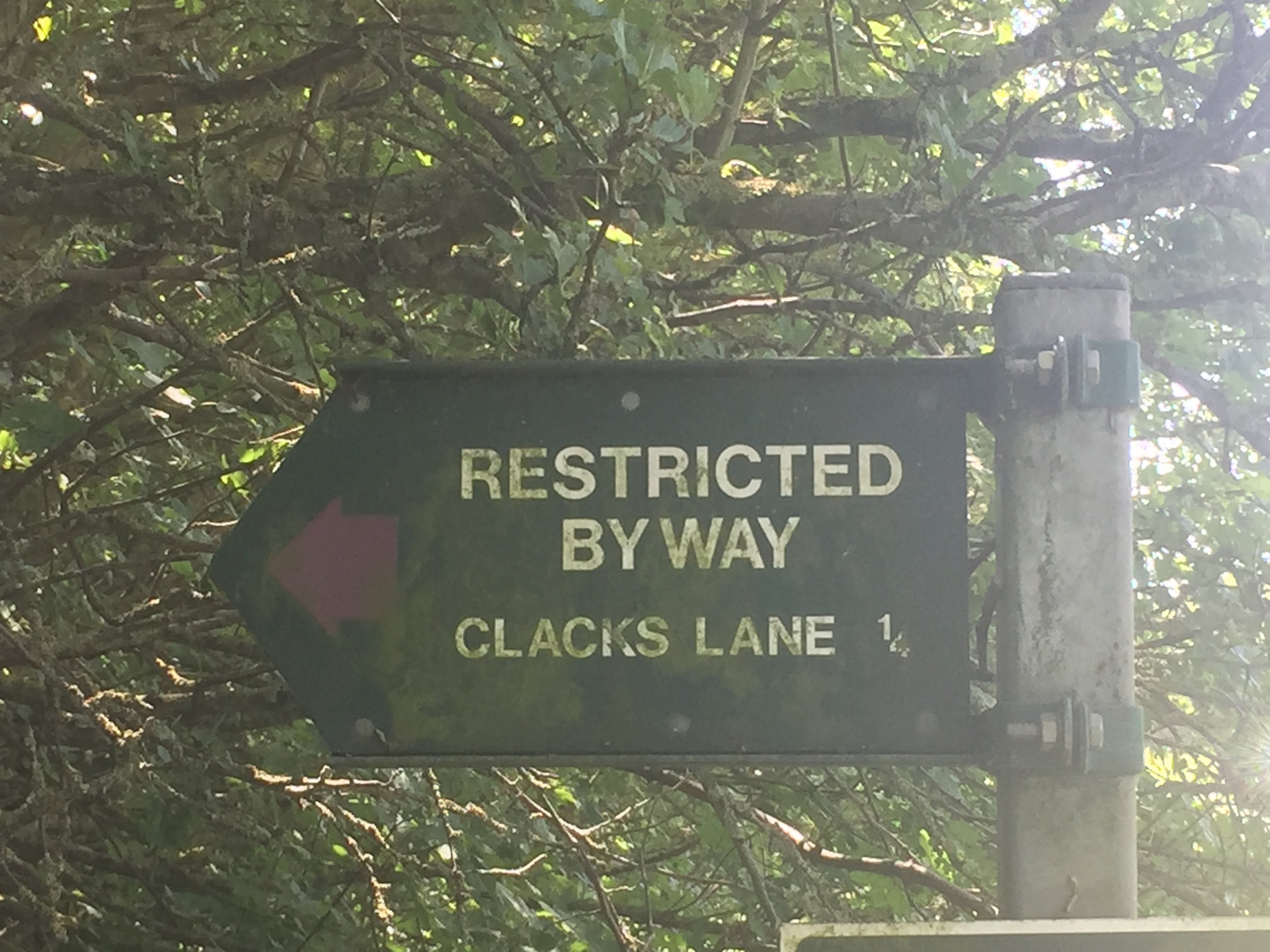
Rather than retrace my steps (treads?) I made a loop of the trip by continuing south until Clacks Lane. At the T-Junction turn left onto Beggarsbush Lane which takes you through Benson RAF vase and back to Ewelme.
blue shows the course of the river, red shows the cycle route.

Elevation for cycle route