Werfa: Bridgend County Top

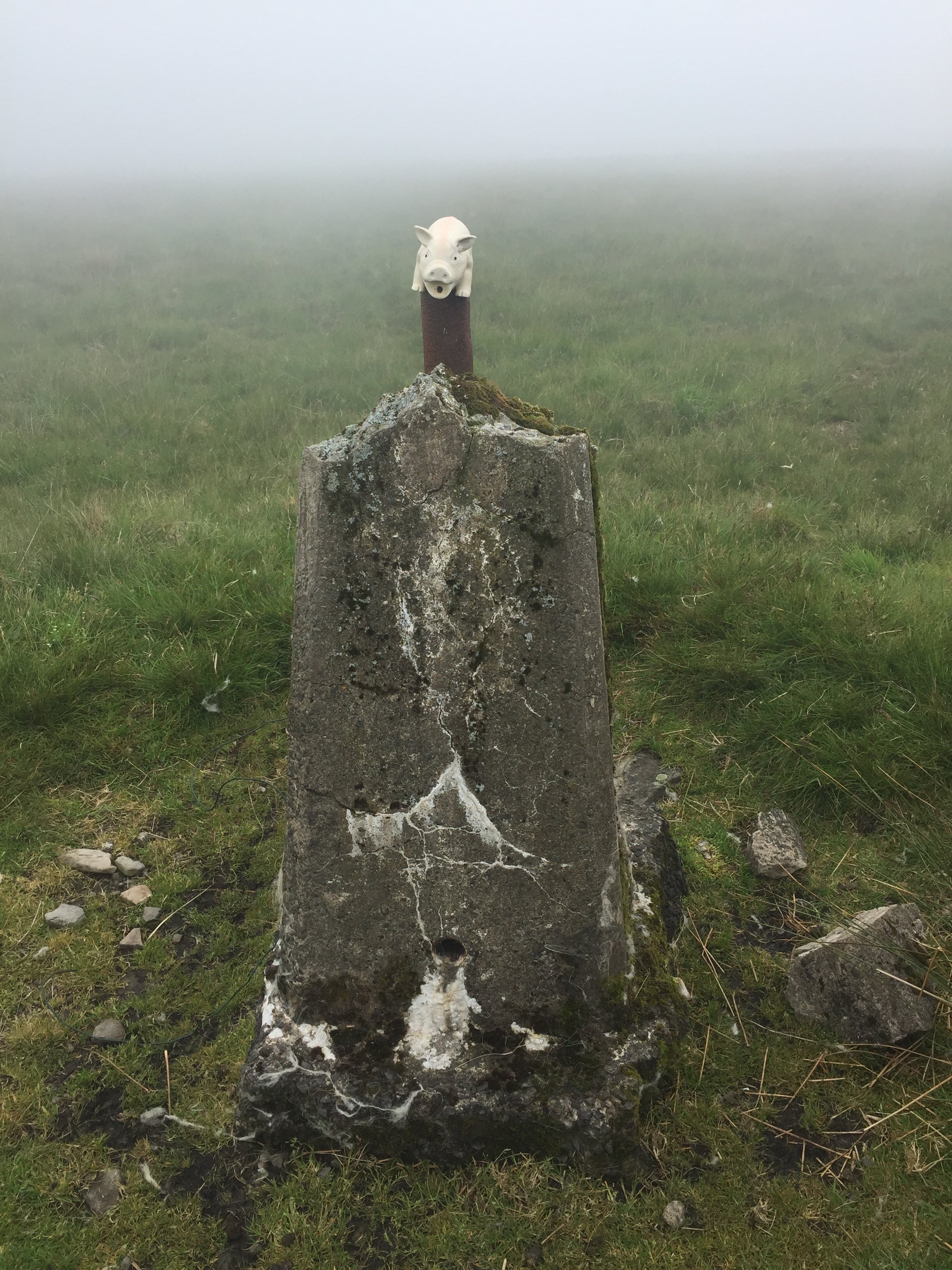
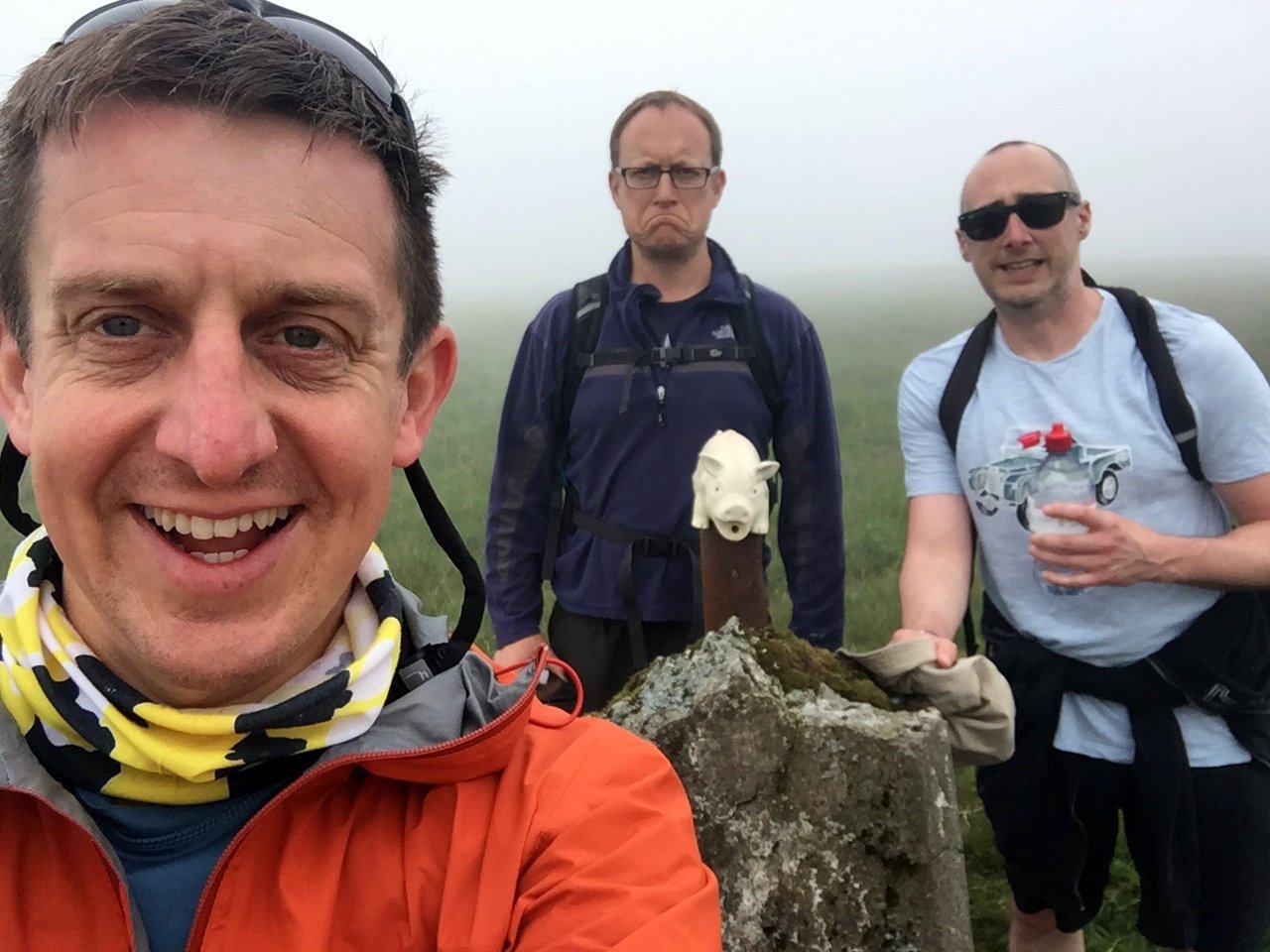
Unloved Trig Pillar at the summit of Werfa
Also known as: Mynydd Llangeinwyr
Significance: Highest peak in Bridgend (Present-Day Principal Area). Previously within Historic County of Glamorgan.
Member of: N/A
Parent Peak: Craig y Llyn
Elevation: 568m
Date climbed: June 24th 2019
Coordinates: 51.6412°N 3.5726°W
Route Start / End: Out and back from parking place on A4107
Route Distance: 2.6 km (1.6 miles)
Route Elevation Change: +/- 68m
Subsidiary tops on route: None
GPX File: get via Buy Me a Coffee
Other routes touched: None
OS Trig Pillar: TP0732 - Llangeinor
Map: OS Explorer Map (166) Rhondda and Merthyr Tydfil
Links: Wikipedia (Bridgend), Wikipedia (Mynydd Llangeinwyr), Peakbagger
We visited Werfa on the way back home from the Western Wales County Top trip. Having conquered both Plynlimon and Foel Cwmceryn in 1 day we had a spare morning before heading back home. We researched the Welsh Present-day County Tops we settled on Werfa, the high point of Bridgend. It ticked off our main criteria of being an actual mountain, not far from the M4 and having a Trig Pillar.
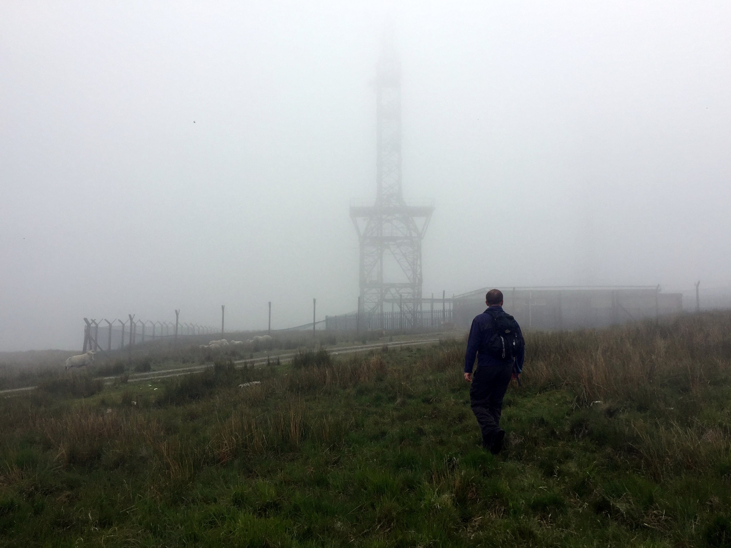
Based on other people's trip logs we parked at a layby on the A4107 and took a bearing up through the fields to the Trig just behind a radio transmitter. In a clear day the massive wind turbine would have been a useful target. Low cloud meant that we could see the bottom 10m of it and only when we were already up close.
From the Trig Pillar we followed the access road back down to the road, crossing it and heading North to Crug Yr Afan, another Trig Pillar. In hindsight the parking spot on the road between the two trigs would have been better. The map here shows the route using that spot.