View to the north from the Greenwich Observatory: National Maritime Museum and Isle of Dogs in the background
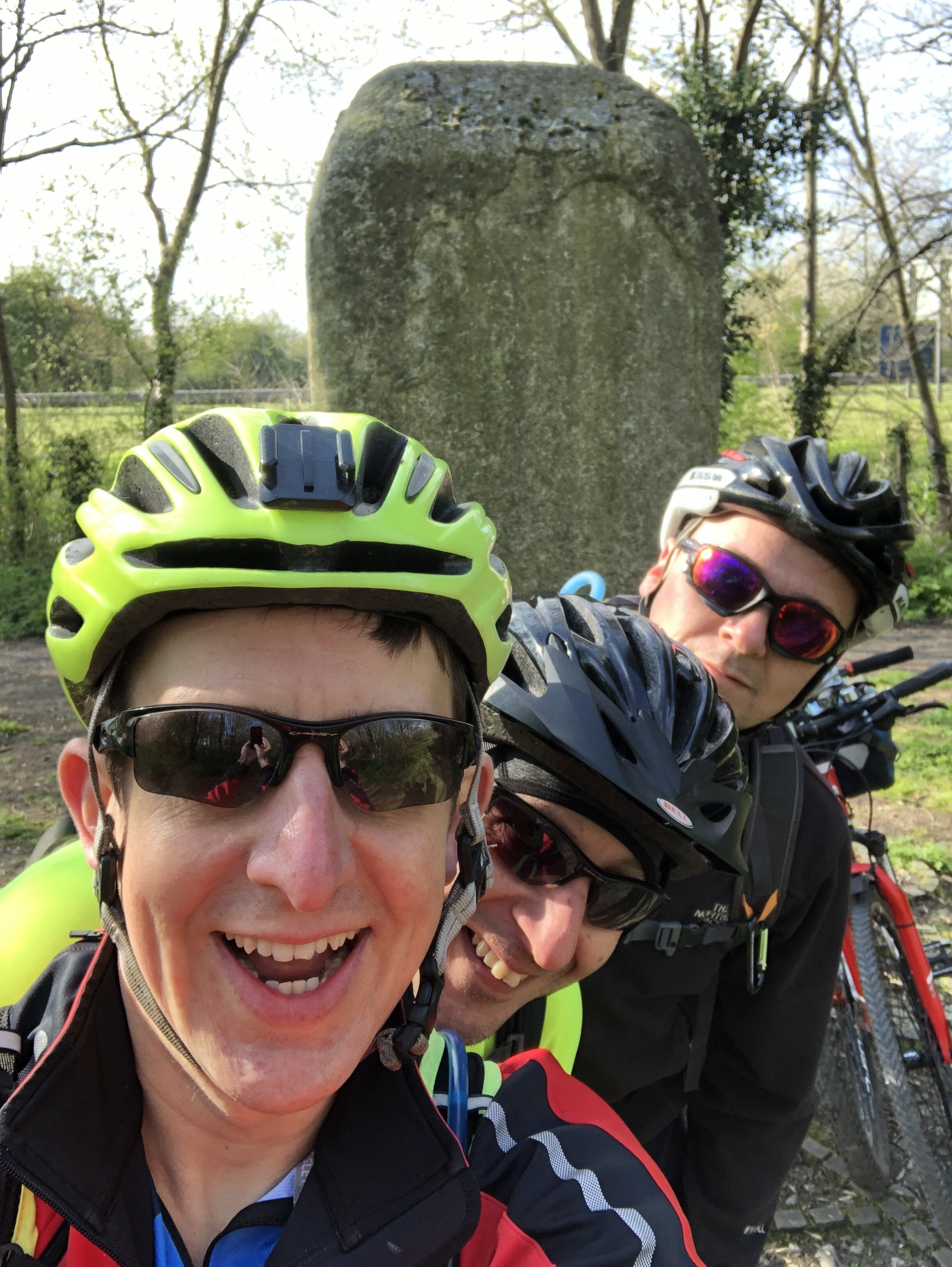
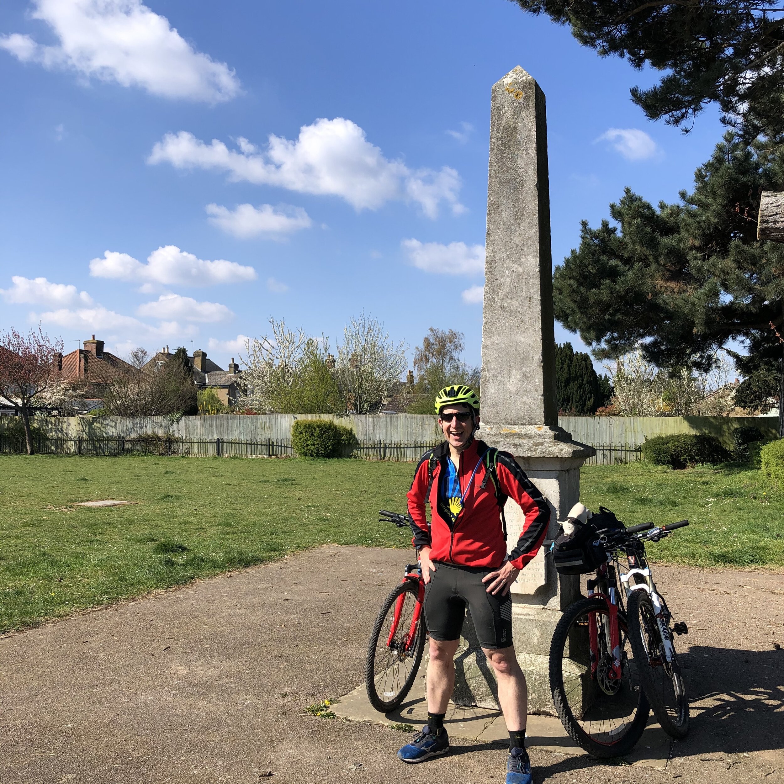
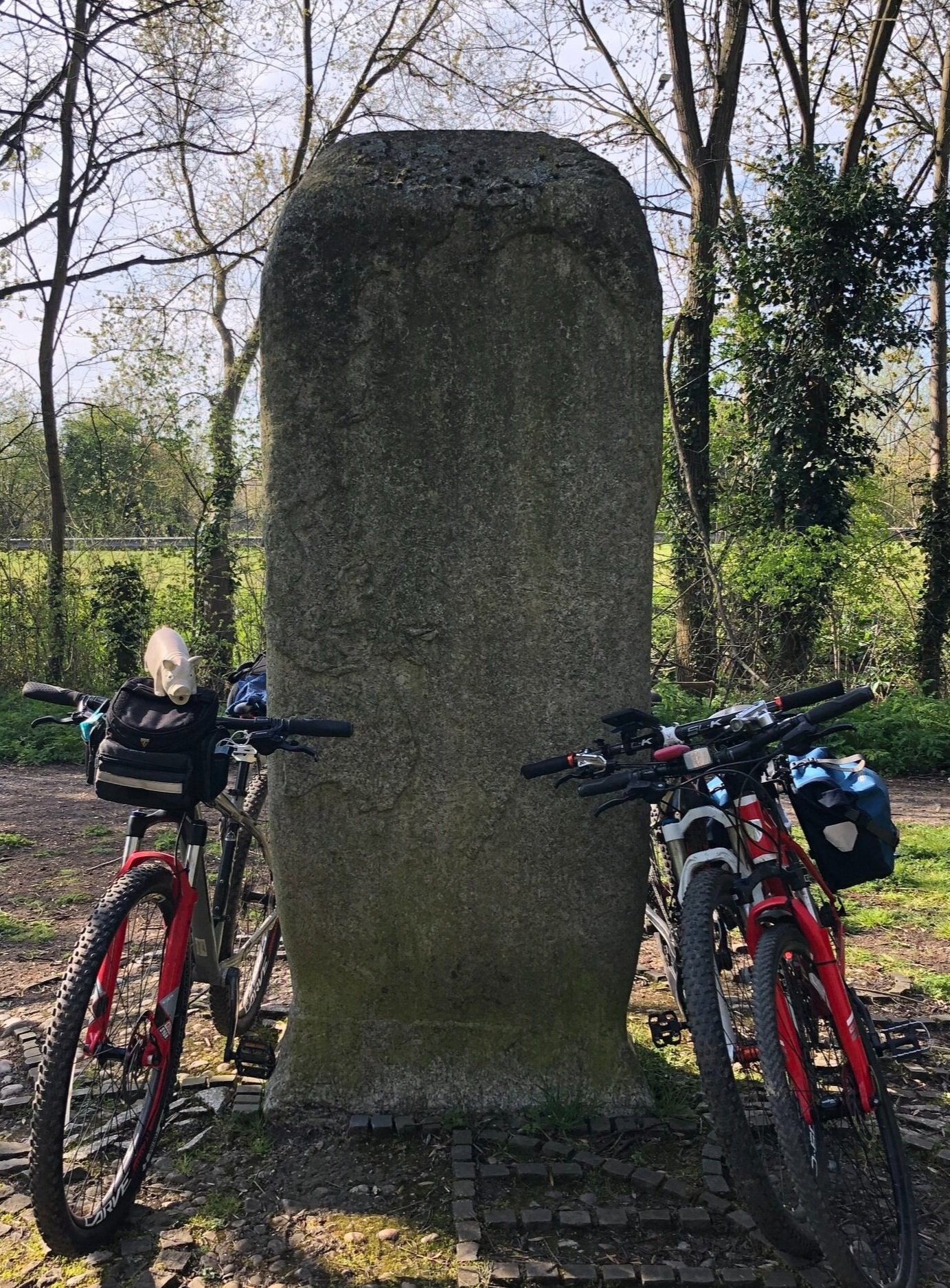
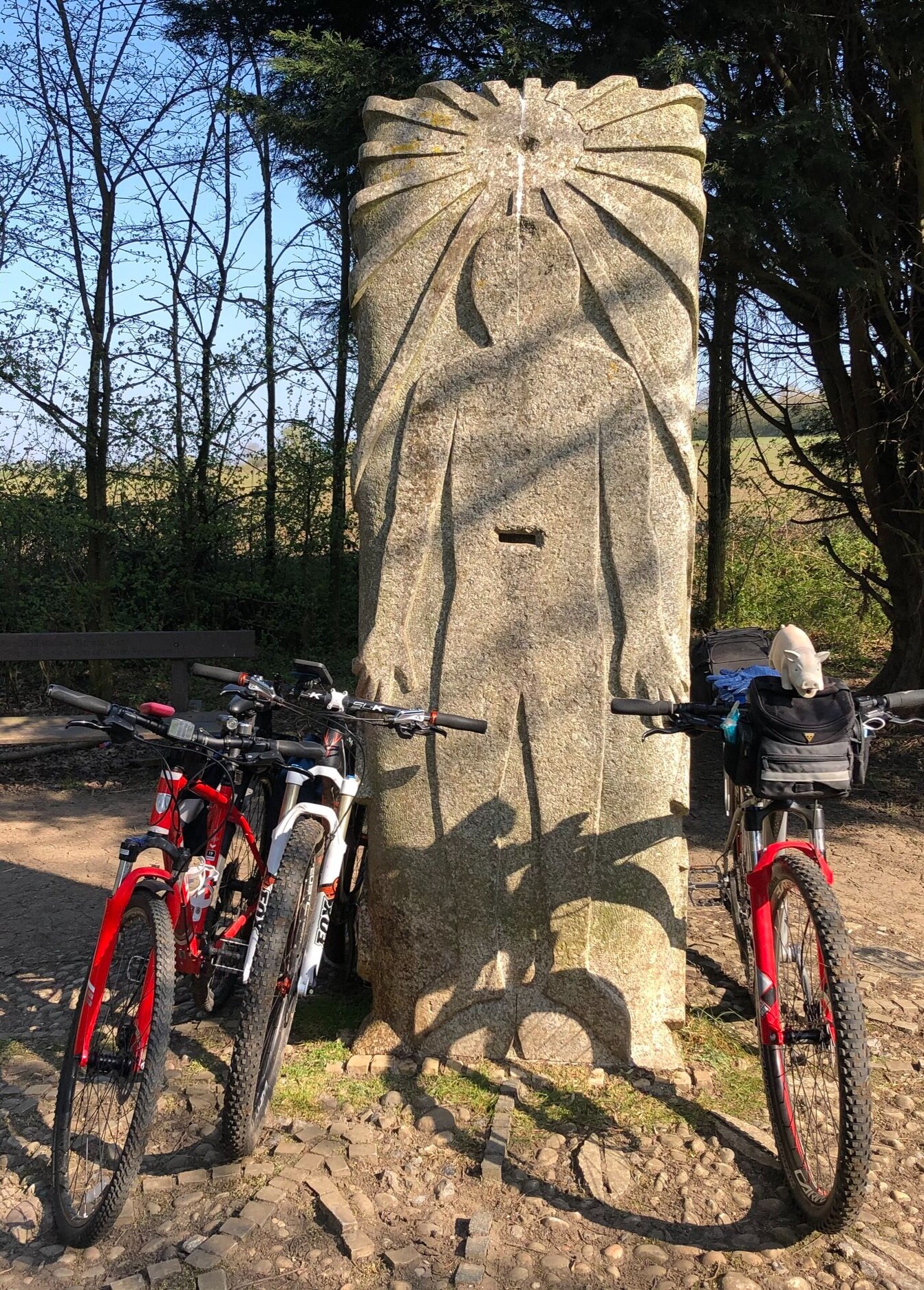
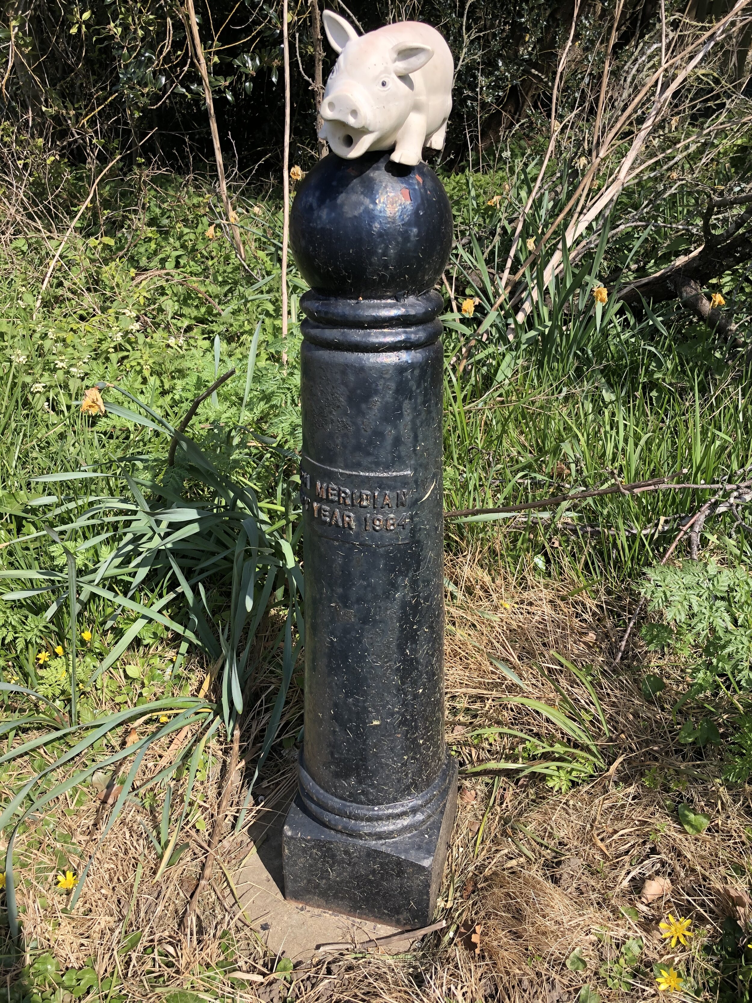
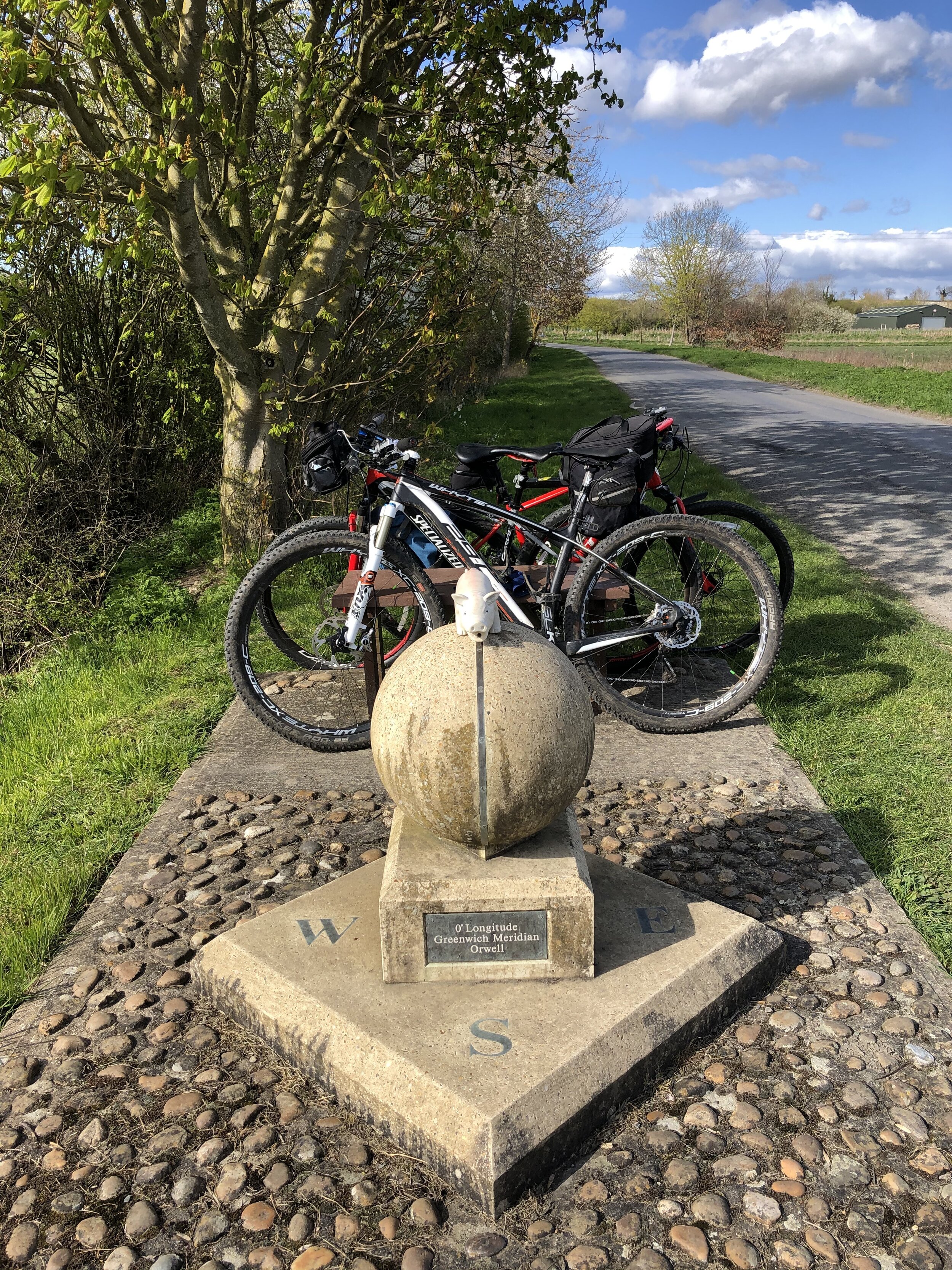
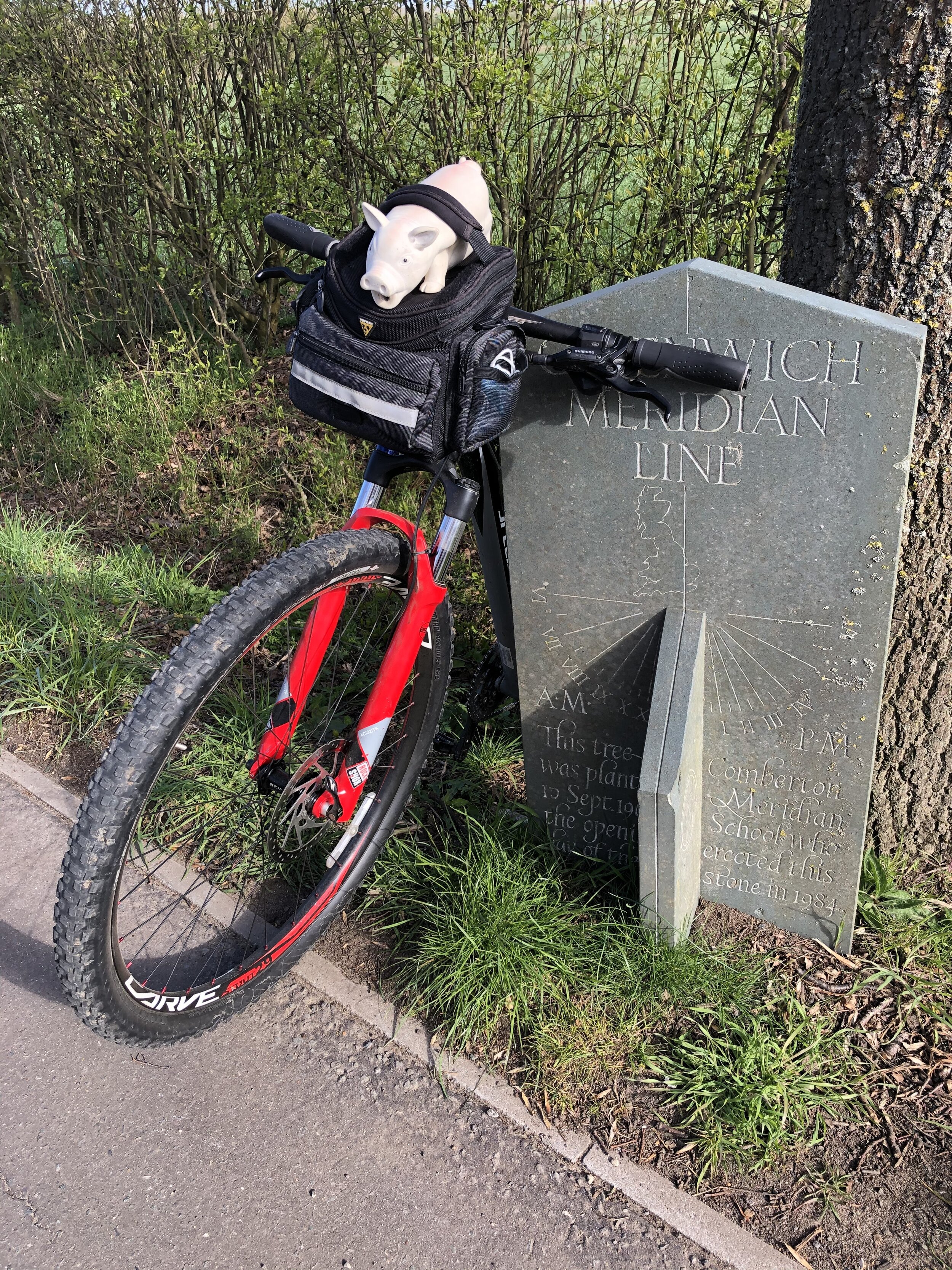
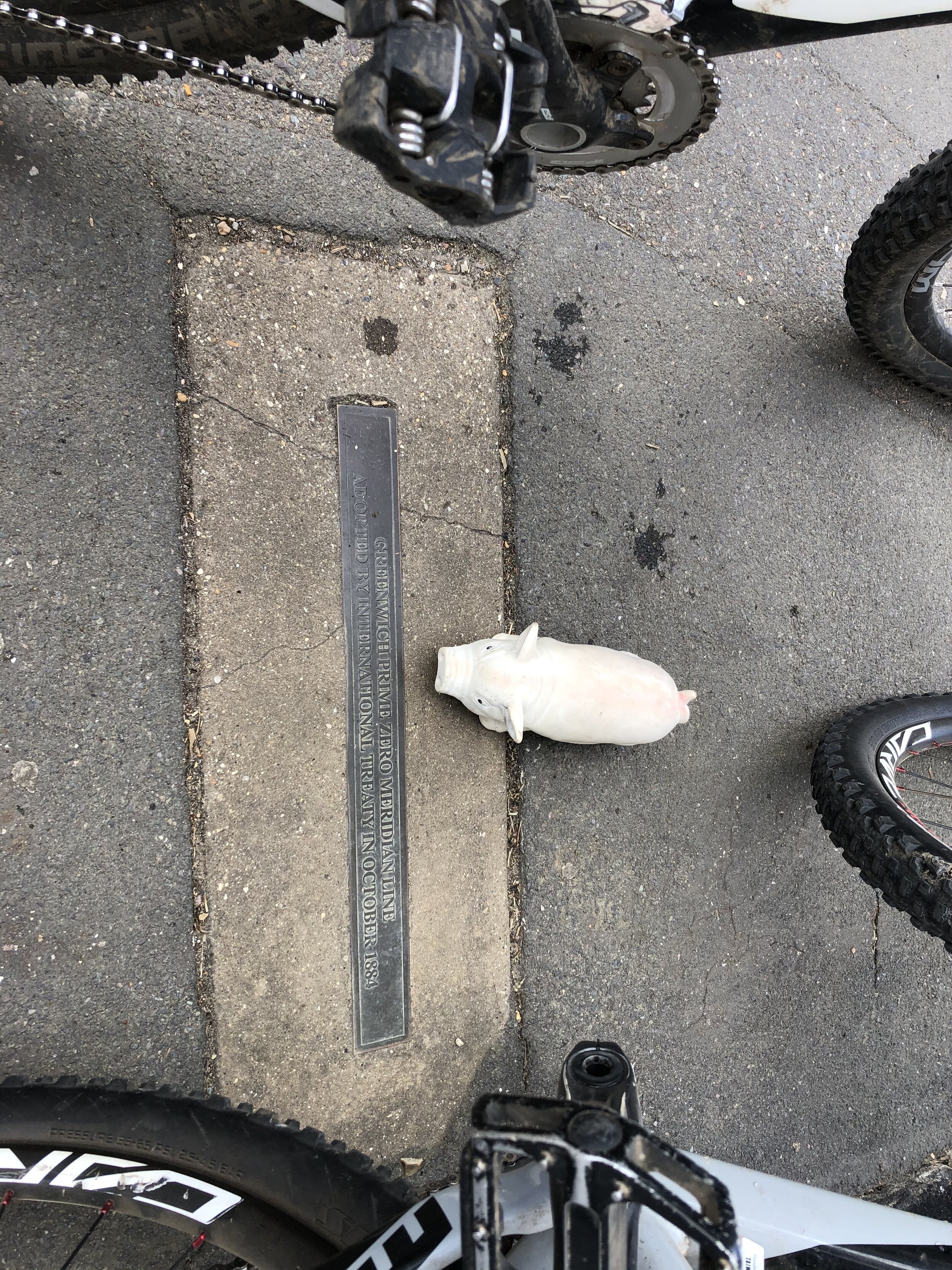
The Prime Meridian, also known as the Greenwich Meridian, is the line of longitude defined as 0°. It’s the line that divides East and West. It’s also a line that I asked myself one Christmas: “can that be cycled"?”. The answer is “no” as it’s a dead-straight line with buildings inconveniently built along it's path. You can cycle quite close to it though, so that’s what we did.
If you want to walk it, there’s a well-signed path called the Greenwich Meridian Trail. The Trail is also very well described in a series of 4 books by Graham and Hilda Heap. The cycle route that I designed stays as close to the Prime Meridian as possible but avoiding footpaths and opting for quieter country roads over busy main roads. Even if you’re cycling I highly recommend the Greenwich Meridian Trail books as they’re a great guide to the interesting things to see along the way.
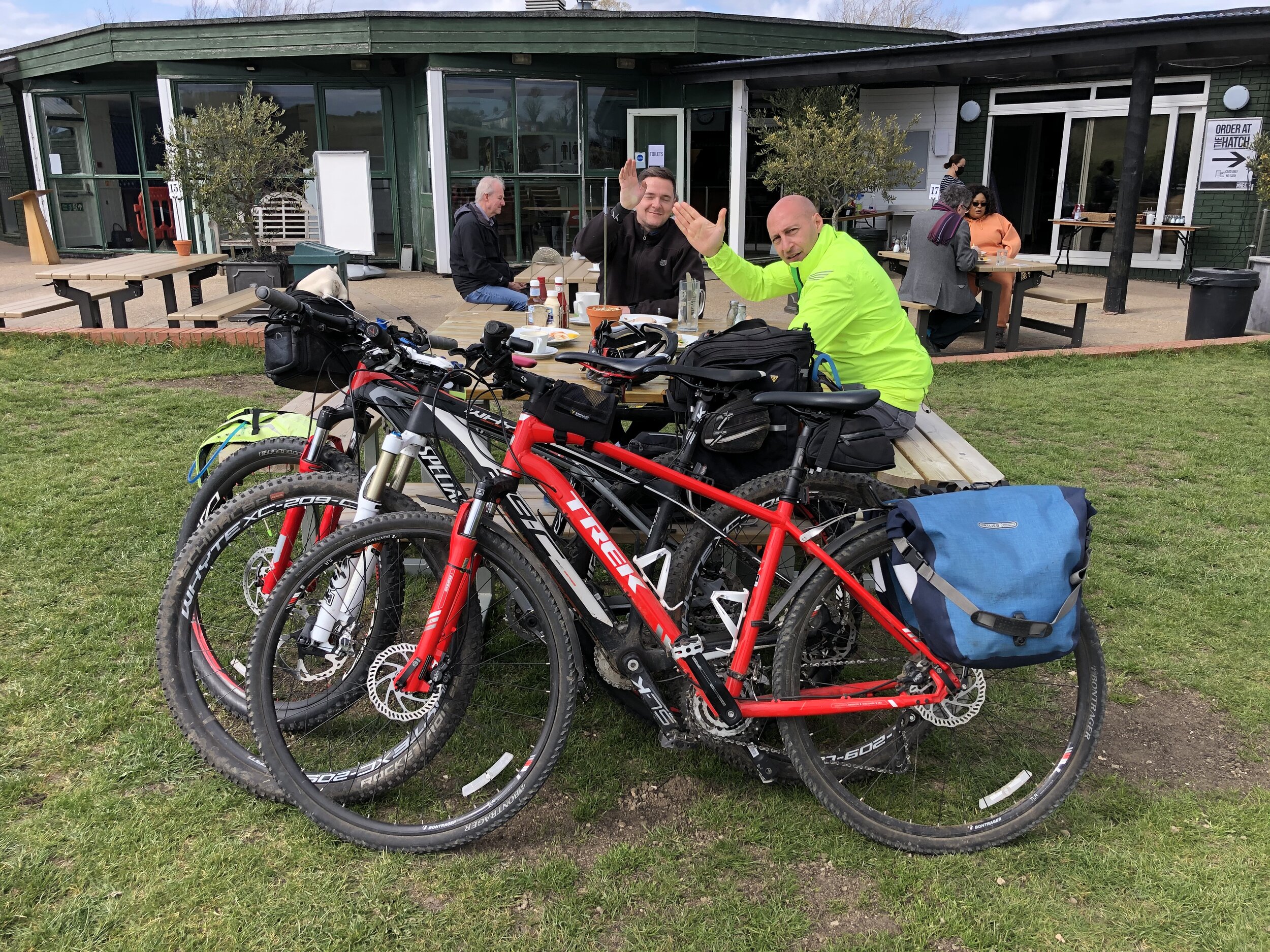
Our cycle trip was 8 days in total, averaging 77k (48 miles) per day. That’s a gentler pace than our previous long distance trips such as LEJOG or Titanic Ireland. Although we could have gone further each day we opted for more coffee and cake stops. We also split it into 3 separate trips rather than a single end-to-end. This ended up taking us exactly a year to complete as Covid Lockdowns interrupted our plans and we had to fit the trips in where we could.
We based the start and end of each section based on access to train lines. Fortunately there’s good train connections along the route without significant diversions. The start at Peacehaven is close to Newhaven Station, although Brighton Station, 6.5 miles away, gives better connections to the North. For the end of Day 2 we wanted to get through London and Waltham Abbey is a natural stopping point. There’s a station nearby at Waltham Cross, or more north/south connections 12 miles west at Potters Bar.
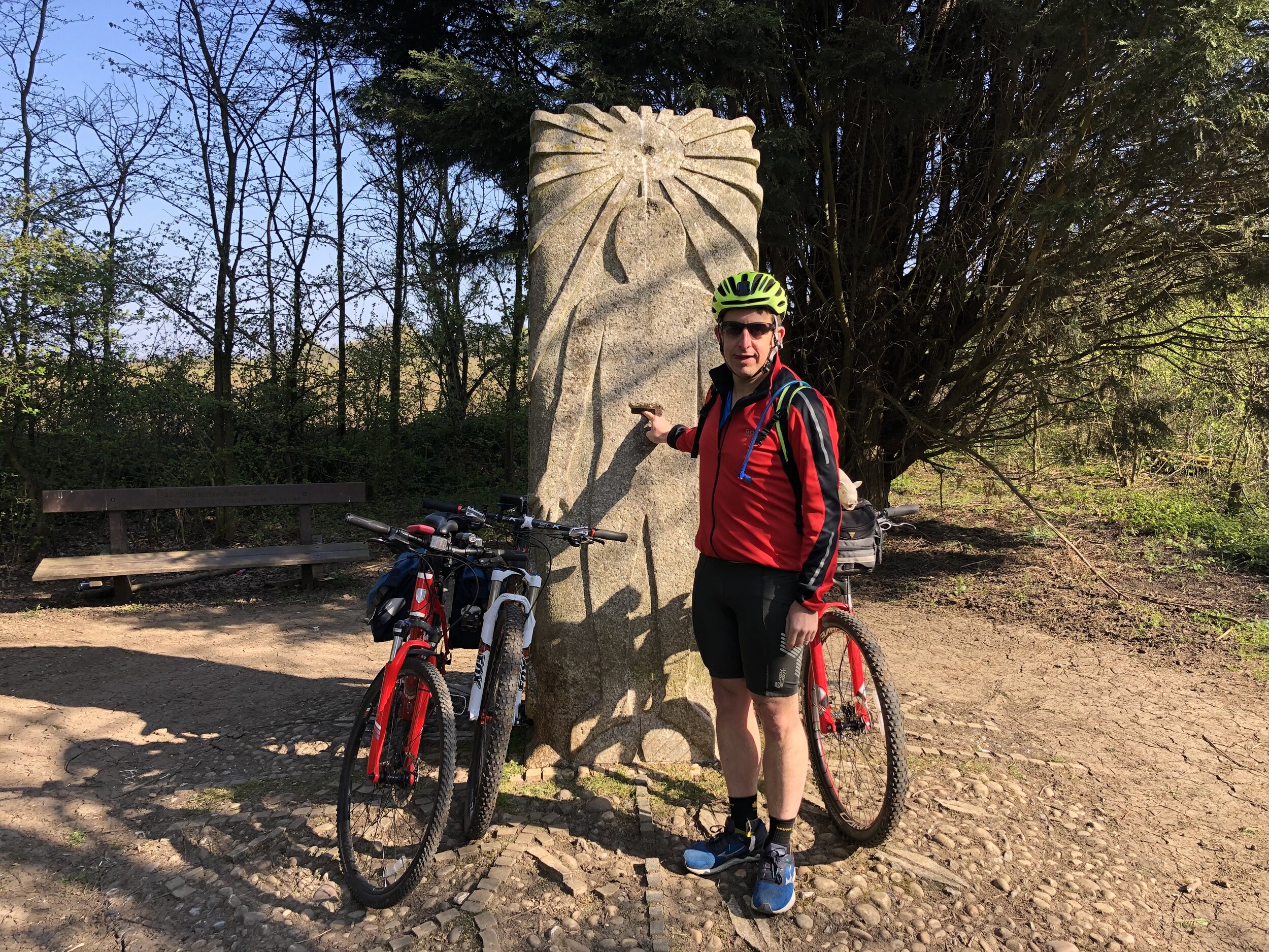
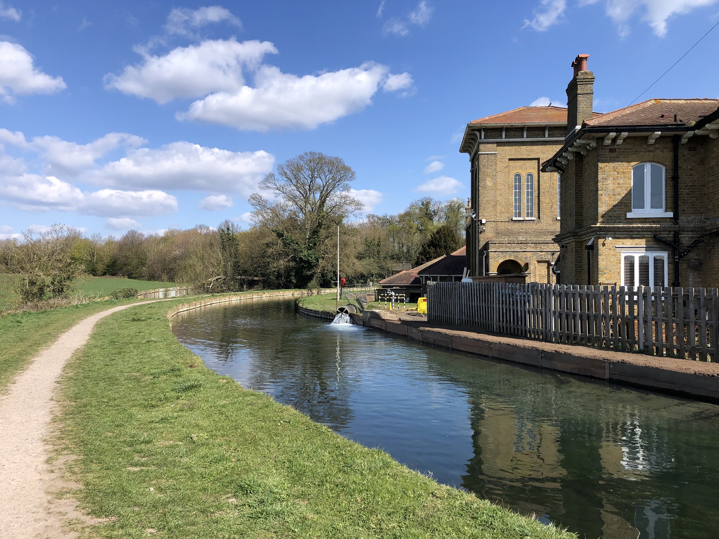
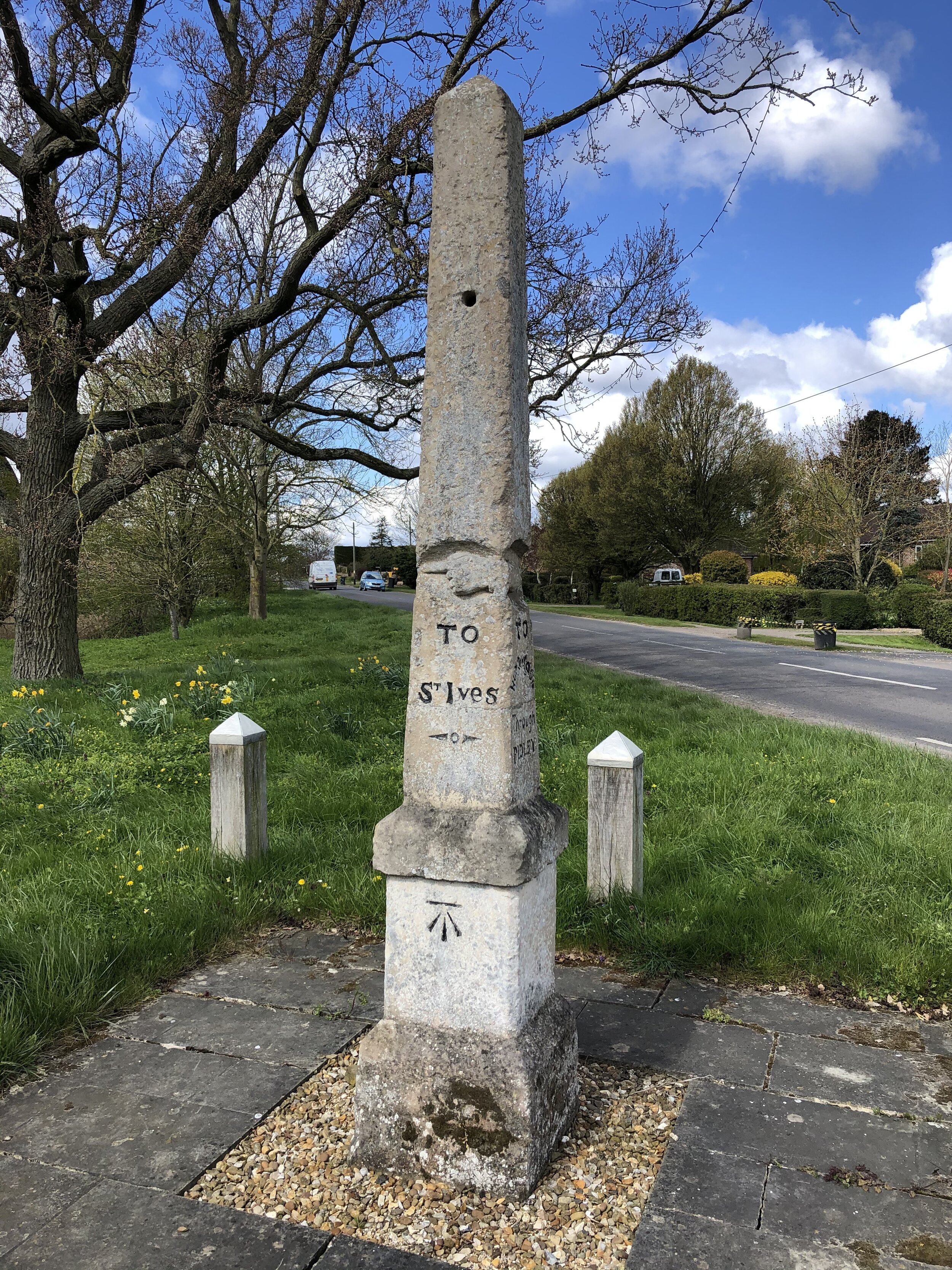
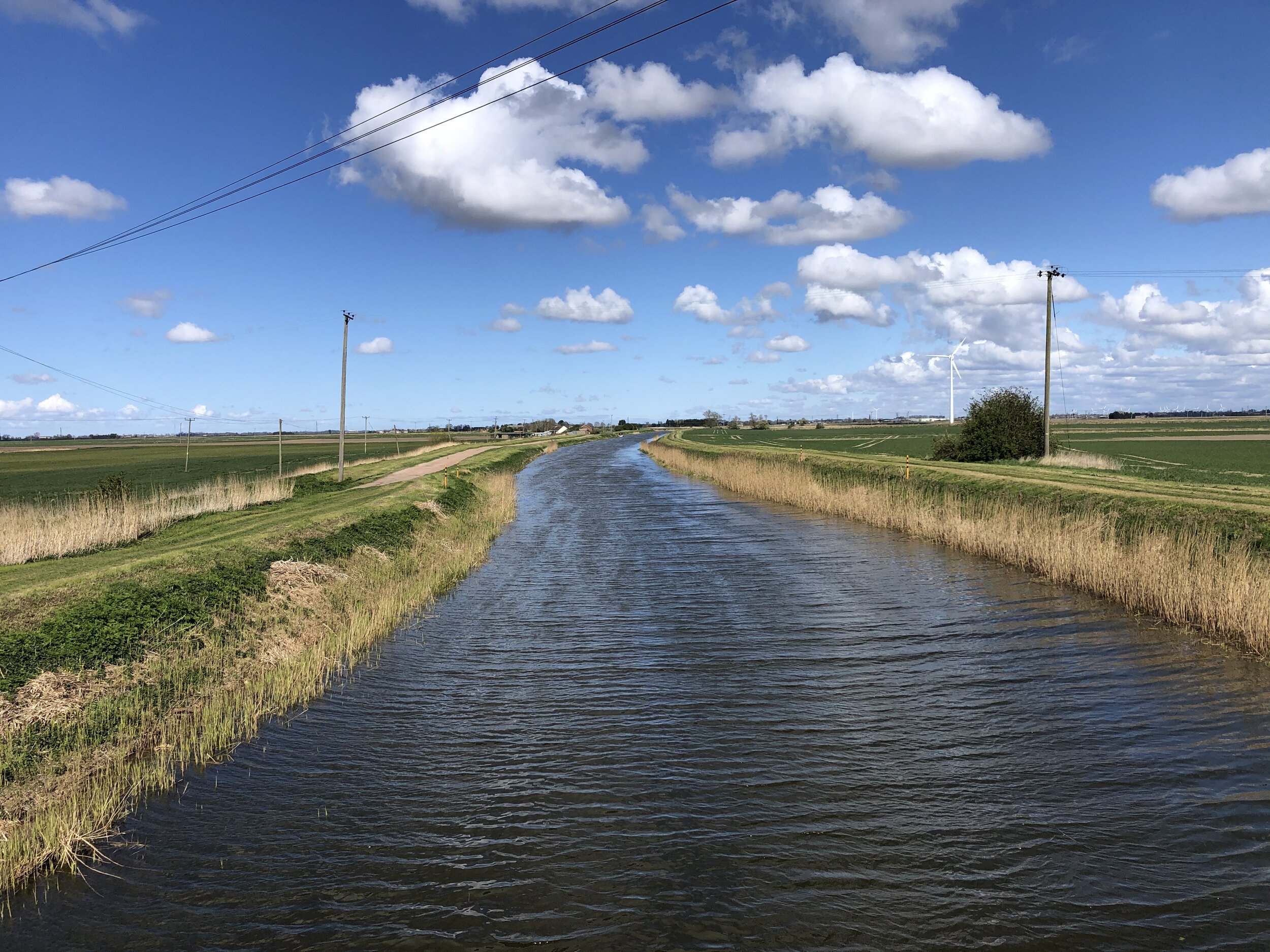
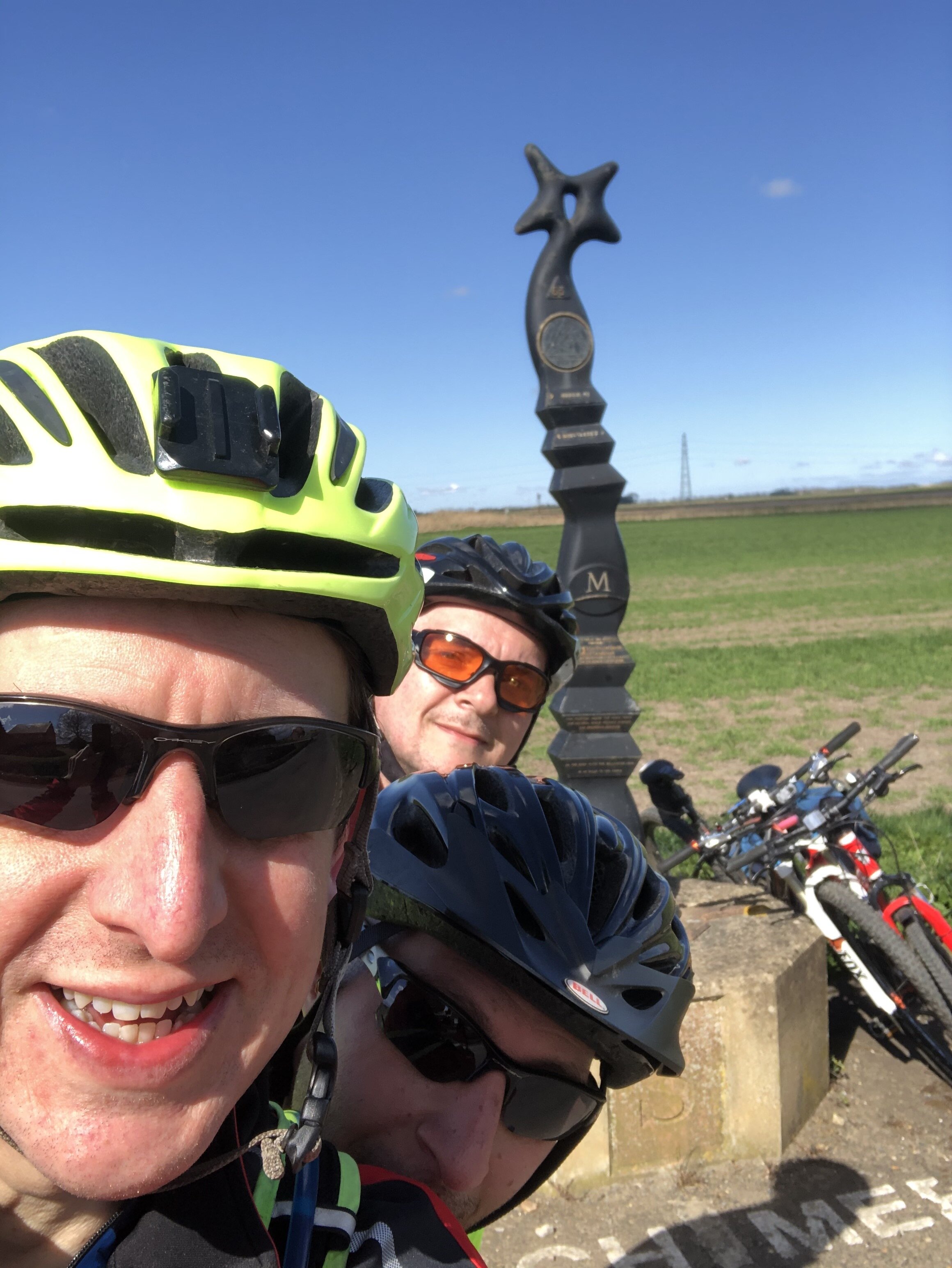
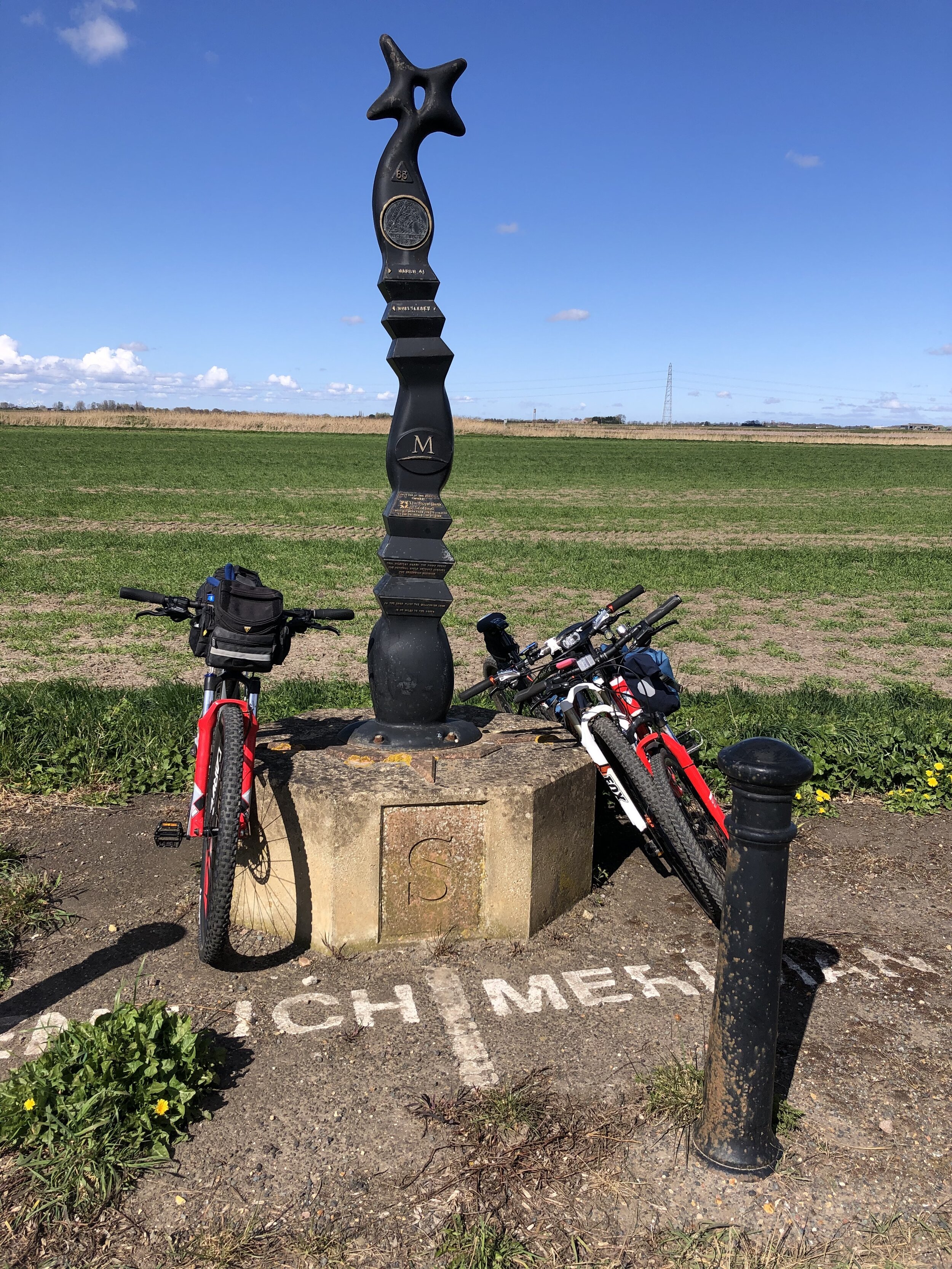
For section 2, covering Days 3 and 4 we covered Waltham Abbey to Peterborough. This takes you quite a way off the Meridian but has a lot of north/south rail connections including to Potters Bar and Hull. Picking up from Peterborough on Day 5 for section 3, we cut diagonally north-east to rejoin the Meridian at Fleet. There’s not much to miss in the section between March and Fleet and the route takes in the main Meridian markers.
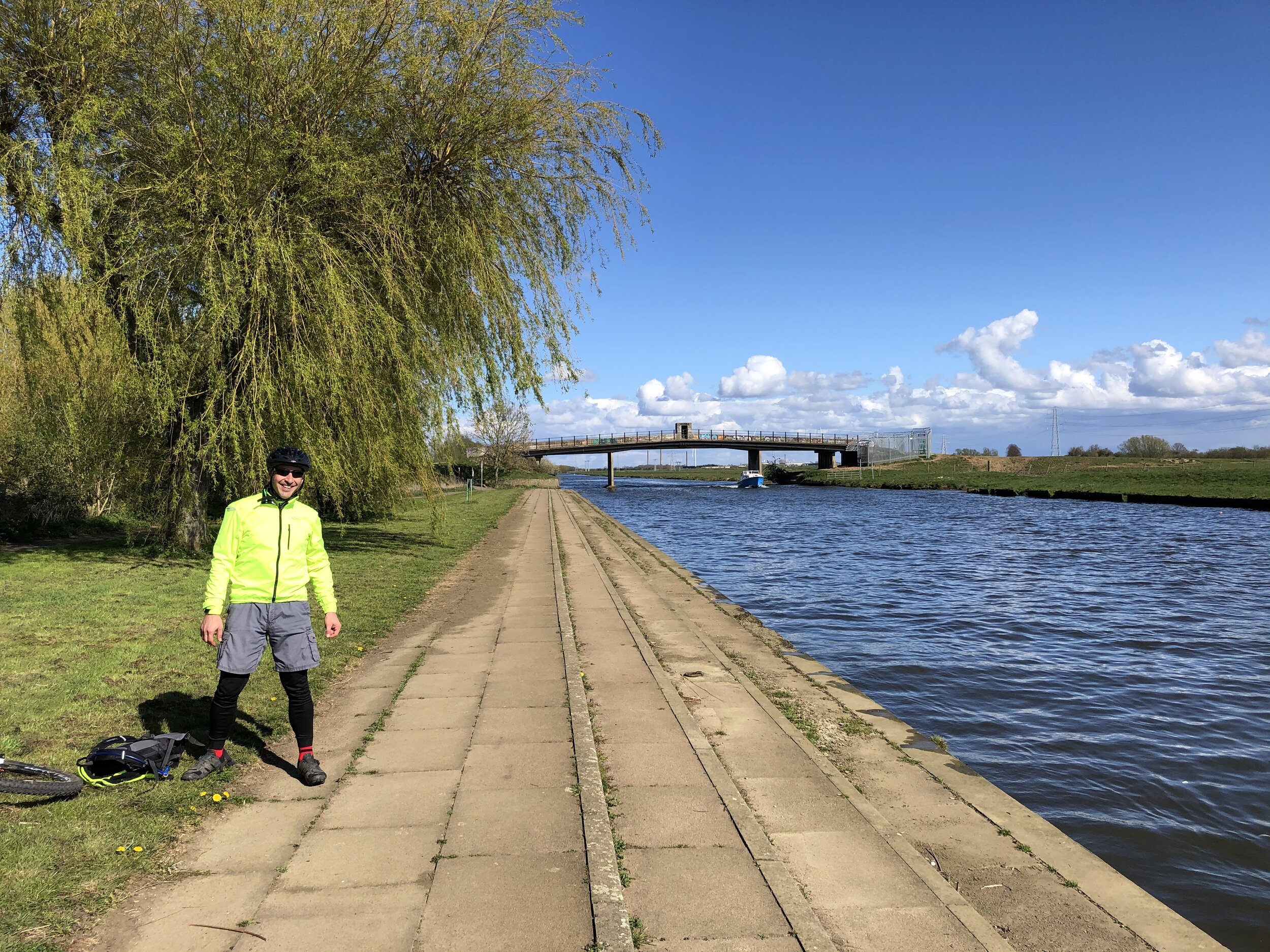
By the end of Day 6 the Meridian reaches the coast at Cleethorpes. From here the challenge is crossing the Humber Estuary to pick up the Meridian where it rejoins land at Sunk Island. The Greenwich Meridian Trail ends at Cleethorpes and a bus is the most practical means of picking up the route at Patringham on the northern side. For our cycle route we took a long diversion west to cross the Humber Bridge and return on the northern side via Hull. This gives you an unbroken cycle trip, but means that all of day 7 and half of day 8 are off the Meridian. It’s worth it for the crossing of the Humber Bridge and the Hull to Winestead Rail Trail.
The final point of the Prime Meridian at Sand Le Mere is quite different to the start at Peacehaven. There’s no monument to mark the end of your trip … at least not any more. This is one of the most eroded parts of the English coast and the previous marker is long gone. Instead we found a large lump of concrete that was more or less in the right position and decided it was the end point. From here it’s 28k ride back to Hull where you can get the train back home.
See the individual blog posts for each section for photos, maps and stats covering each day.
Links to each section:
The Complete Route
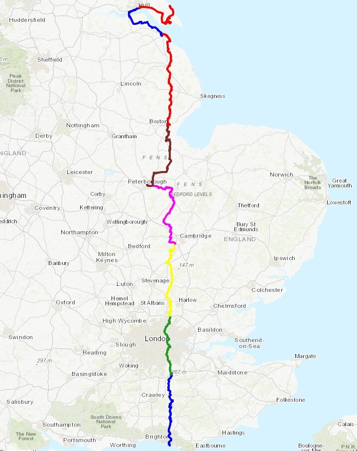
Two maps of the Prime Meridian. Above: Cycle route, each colour representing a different day of the trip. Right: tube-style map showing the cycle route, 0 degrees longitude and the Greenwich Meridian Trail