The parkrun Regionnaire status used to be a major part of parkrun tourism. Changes in the parkrun website in 2019 removed the regions making it harder to track completion status. All is not lost though as here’s the complete parkrun guide to what’s in and what’s out of the counties of East of England.
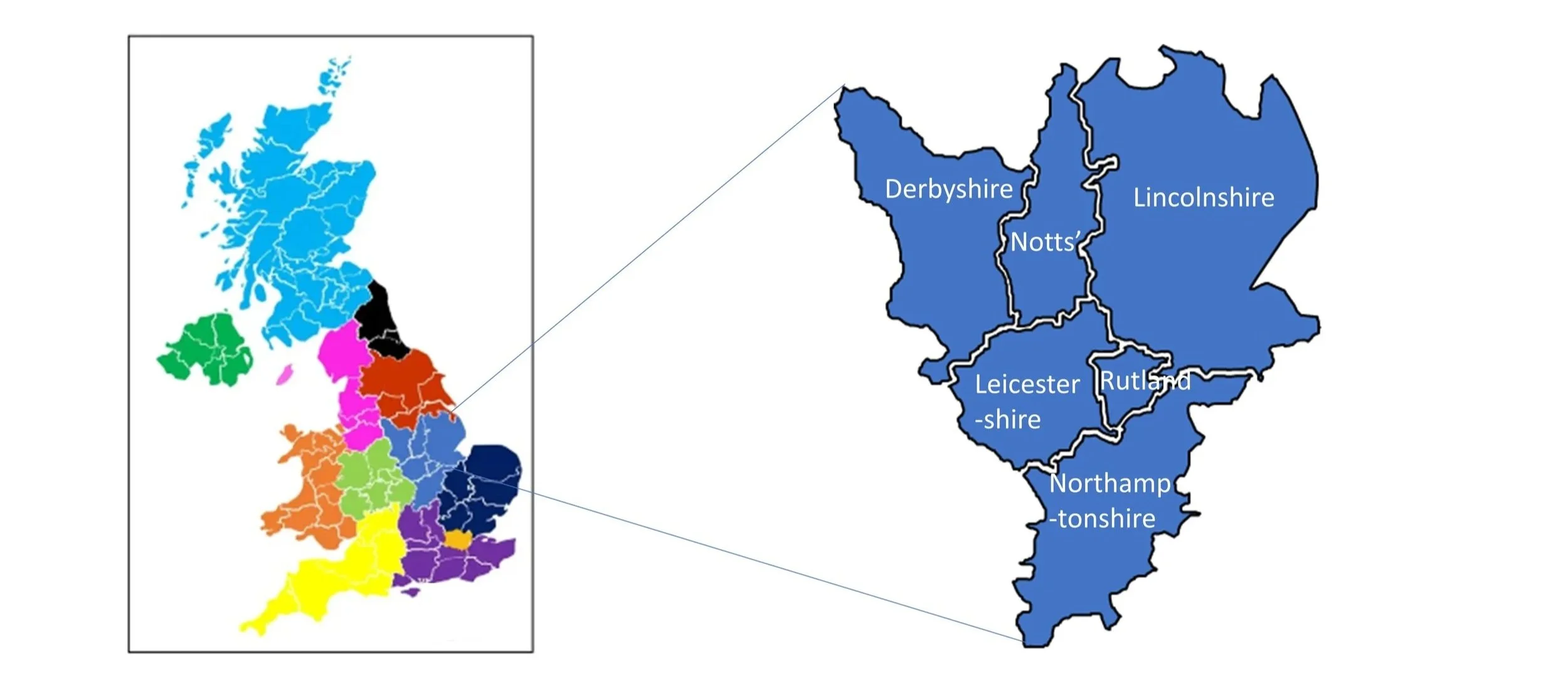
The East Midlands is a varied and centrally positioned region of England, lying at the heart of the country and forming an important geographic and economic link between the north and south. It comprises six ceremonial counties—Derbyshire, Leicestershire, Lincolnshire (excluding the northern unitary authorities of North Lincolnshire and North East Lincolnshire), Northamptonshire, Nottinghamshire, and Rutland.
Its landscapes are defined by striking contrasts. In the north, the Peak District rises in a sweep of rugged gritstone edges, moorland plateaus, and deep valleys, forming one of Britain’s most celebrated upland national parks. Nottinghamshire is home to the ancient oak woodlands of Sherwood Forest, long associated with folklore and now protected for their ecological and cultural significance. To the south, Rutland Water stands as one of Europe’s largest man‑made reservoirs and an internationally important wetland habitat.
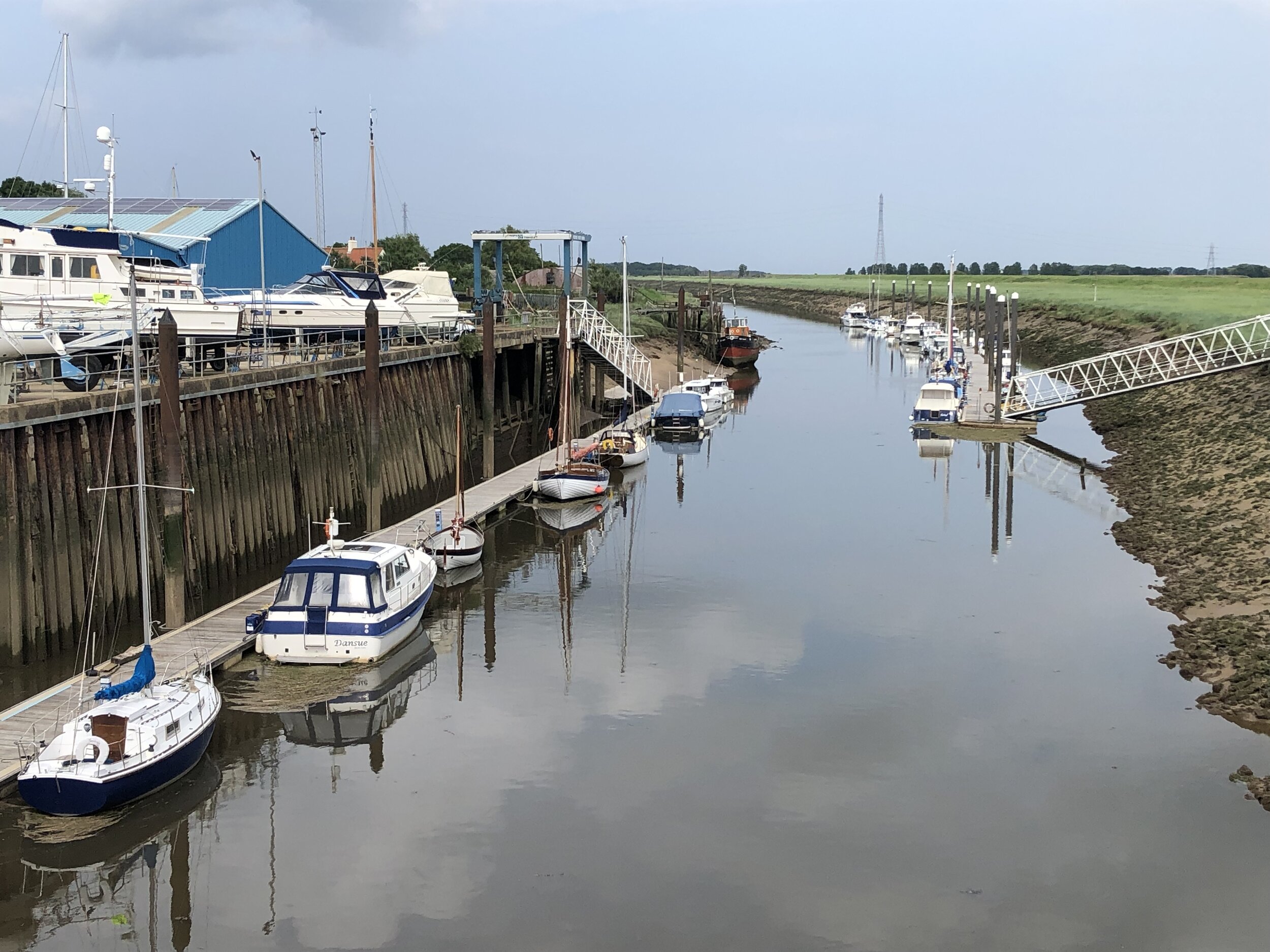
Across the wider region, the scenery shifts from the broad, meandering valley of the River Trent to the volcanic outcrops and wooded hills of Charnwood Forest. Lincolnshire contributes some of the country’s most extensive agricultural landscapes, stretching out to a coastline of wide sandy beaches and low‑lying coastal plains.
Together, these elements create a region of remarkable diversity—rich in natural beauty, deep in history, and shaped by the varied terrains that define the centre of England.
parkrun event numbers per county
There are currently 65 parkrun events in the present-day counties of the East Midlands region. The Historic Counties, prior to the various boundary changes had a further 8 events.

Notes and exceptions.
Numbers of event above exclude prison parkruns and permanently cancelled events.
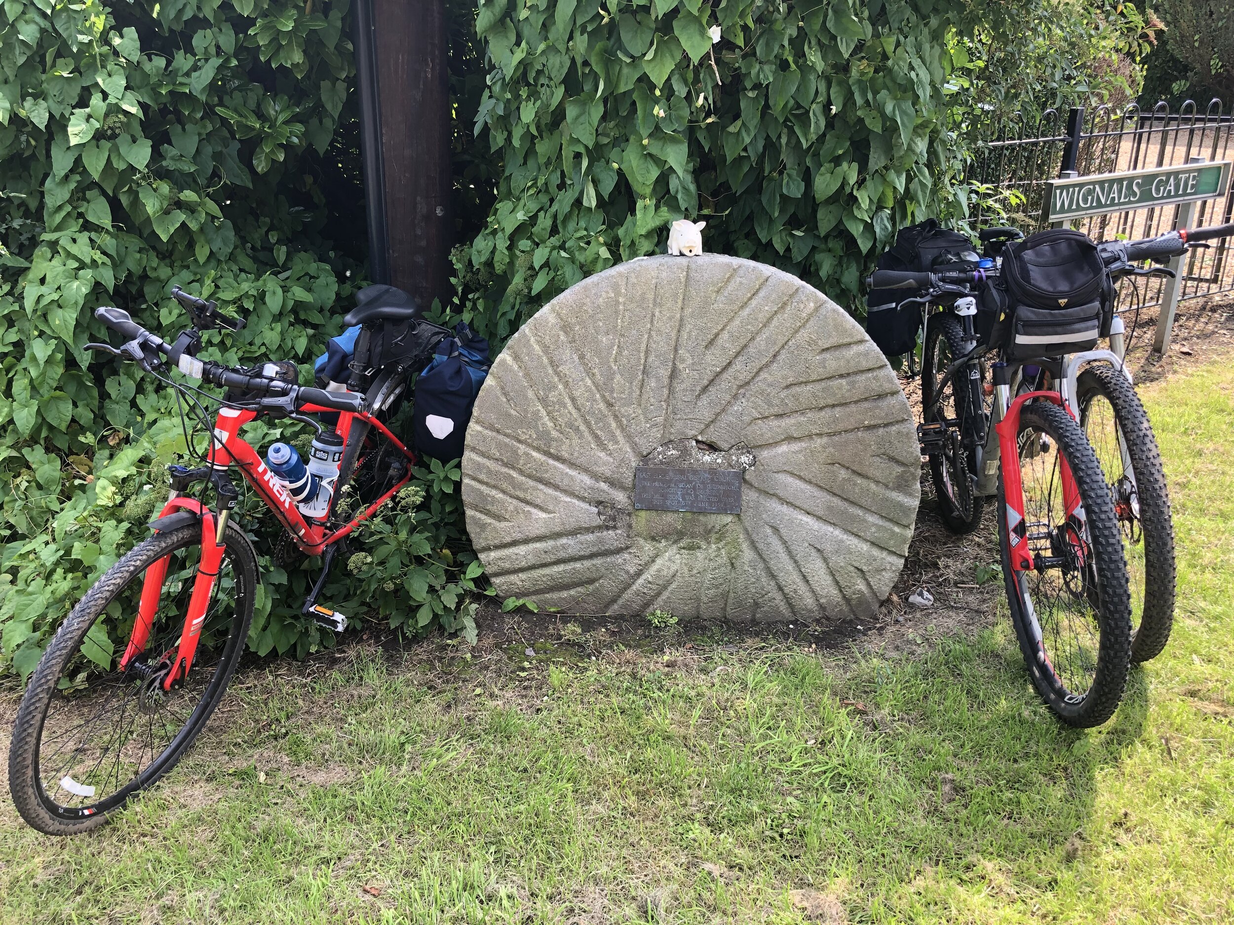
Market Harborough was in the historic county of Northamptonshire but is in the present-day county of Leicestershire.
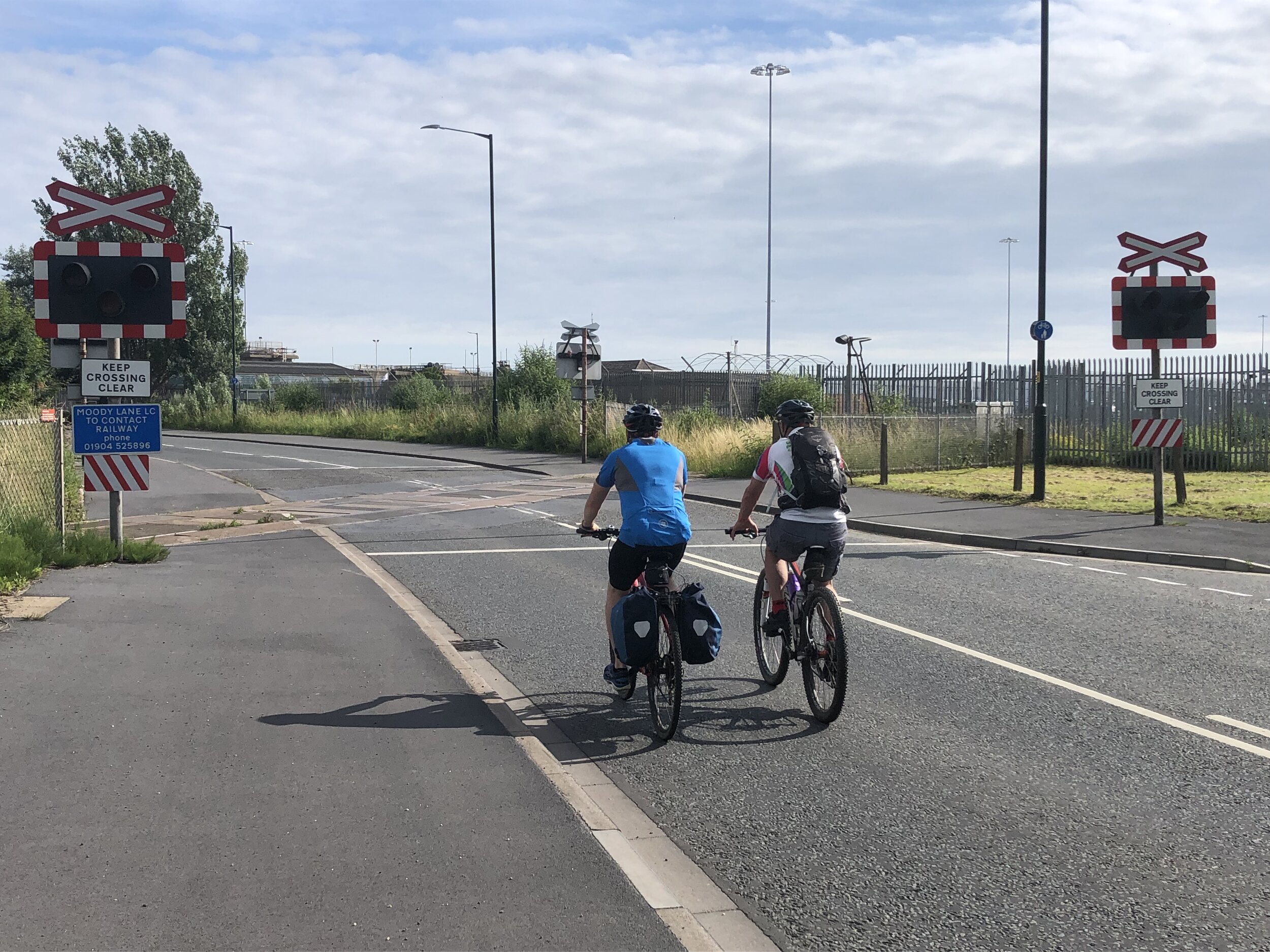
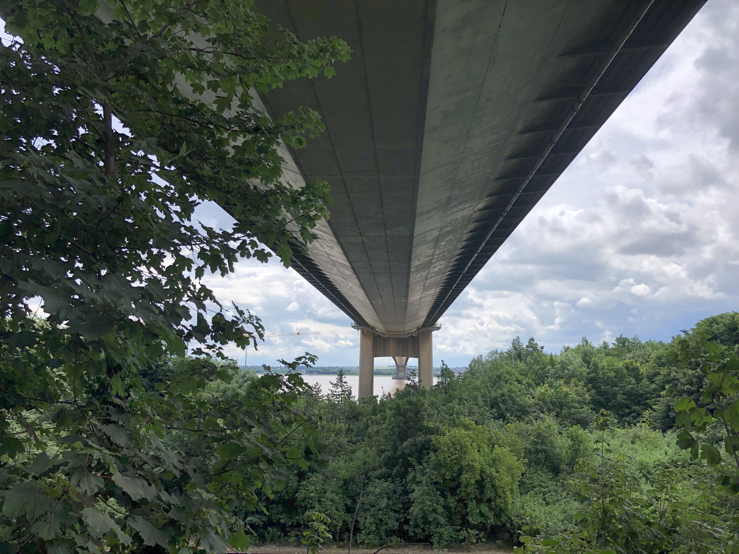
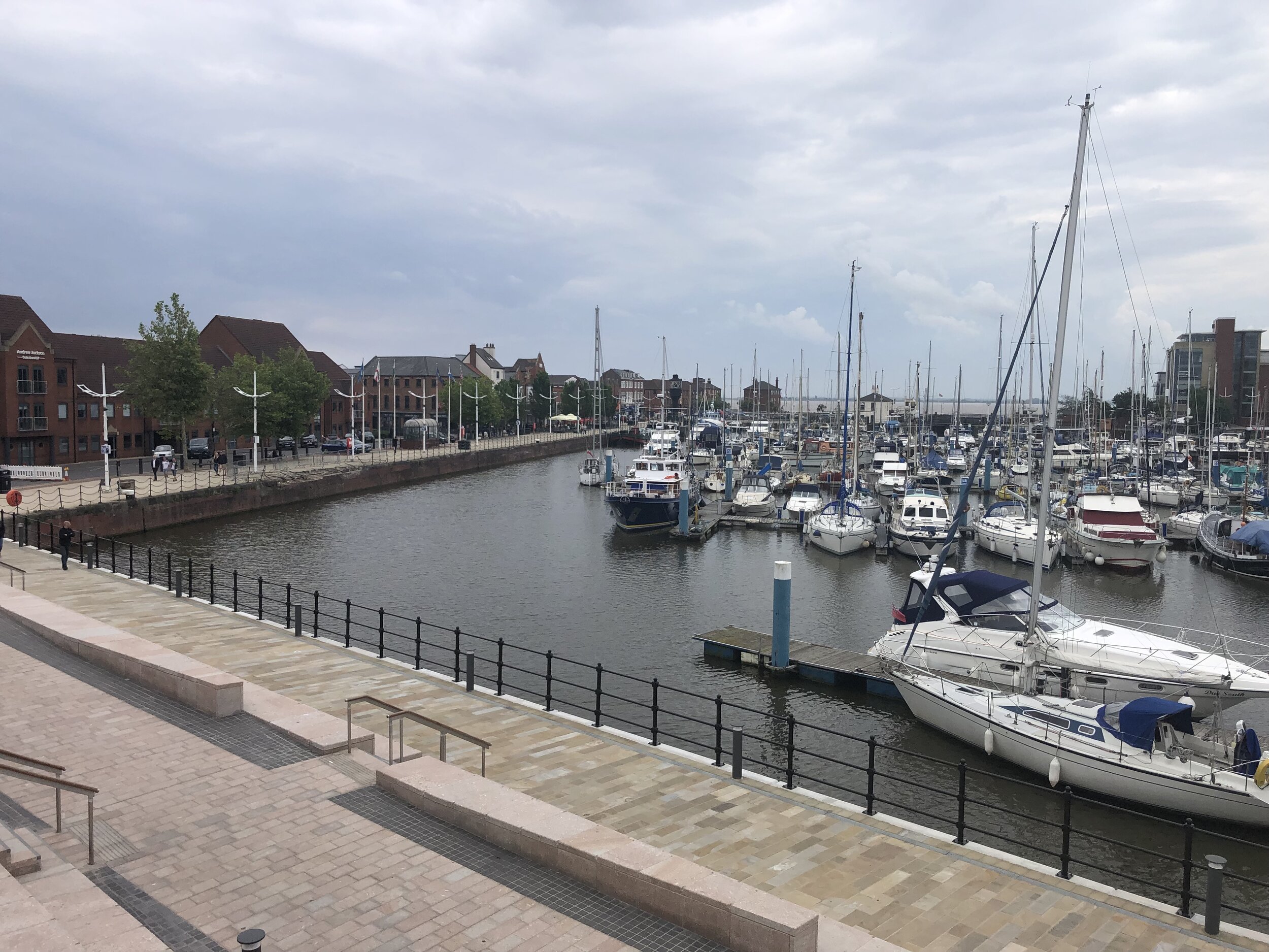
6 parkrun events in the north of Lincolnshire are in the Yorkshire and the Humber region.
2 parkrun events, Graves and Rother Valley, were in the historic county of Derbyshire but are now in South Yorkshire in the Yorkshire and the Humber Region.
Events that are in the Yorkshire and the Humber region are highlighted in yellow in the table above.
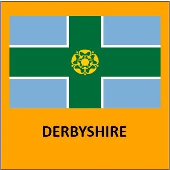
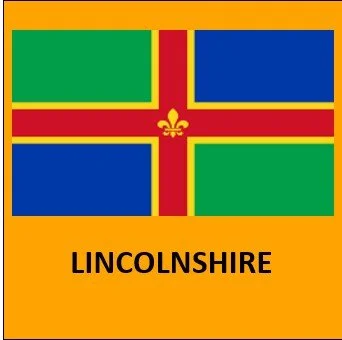
The East Midlands Counties parkrun pages
Click on each of the images below to go to the page with details of the parkrun events for the county.


More parkrun posts

parkruns are free, weekly, community 5k events all around the world. I started in December 2012 and have been obsessive about it ever since. See my parkrun Collection page for details.
Featured and popular parkrun posts: