Posts tagged Derbyshire
East Midlands parkruns
 

The parkrun Regionnaire status used to be a major part of parkrun tourism. Changes in the parkrun website in 2019 removed the regions making it harder to track completion status. All is not lost though as here’s the complete parkrun guide to what’s in and what’s out of the counties of East of England.

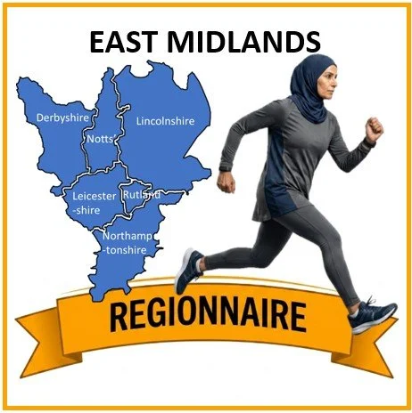
The East Midlands is a varied and centrally positioned region of England, lying at the heart of the country and forming an important geographic and economic link between the north and south. It comprises six ceremonial counties—Derbyshire, Leicestershire, Lincolnshire (excluding the northern unitary authorities of North Lincolnshire and North East Lincolnshire), Northamptonshire, Nottinghamshire, and Rutland.

Its landscapes are defined by striking contrasts. In the north, the Peak District rises in a sweep of rugged gritstone edges, moorland plateaus, and deep valleys, forming one of Britain’s most celebrated upland national parks. Nottinghamshire is home to the ancient oak woodlands of Sherwood Forest, long associated with folklore and now protected for their ecological and cultural significance. To the south, Rutland Water stands as one of Europe’s largest man‑made reservoirs and an internationally important wetland habitat.

Across the wider region, the scenery shifts from the broad, meandering valley of the River Trent to the volcanic outcrops and wooded hills of Charnwood Forest. Lincolnshire contributes some of the country’s most extensive agricultural landscapes, stretching out to a coastline of wide sandy beaches and low‑lying coastal plains.

Together, these elements create a region of remarkable diversity—rich in natural beauty, deep in history, and shaped by the varied terrains that define the centre of England.


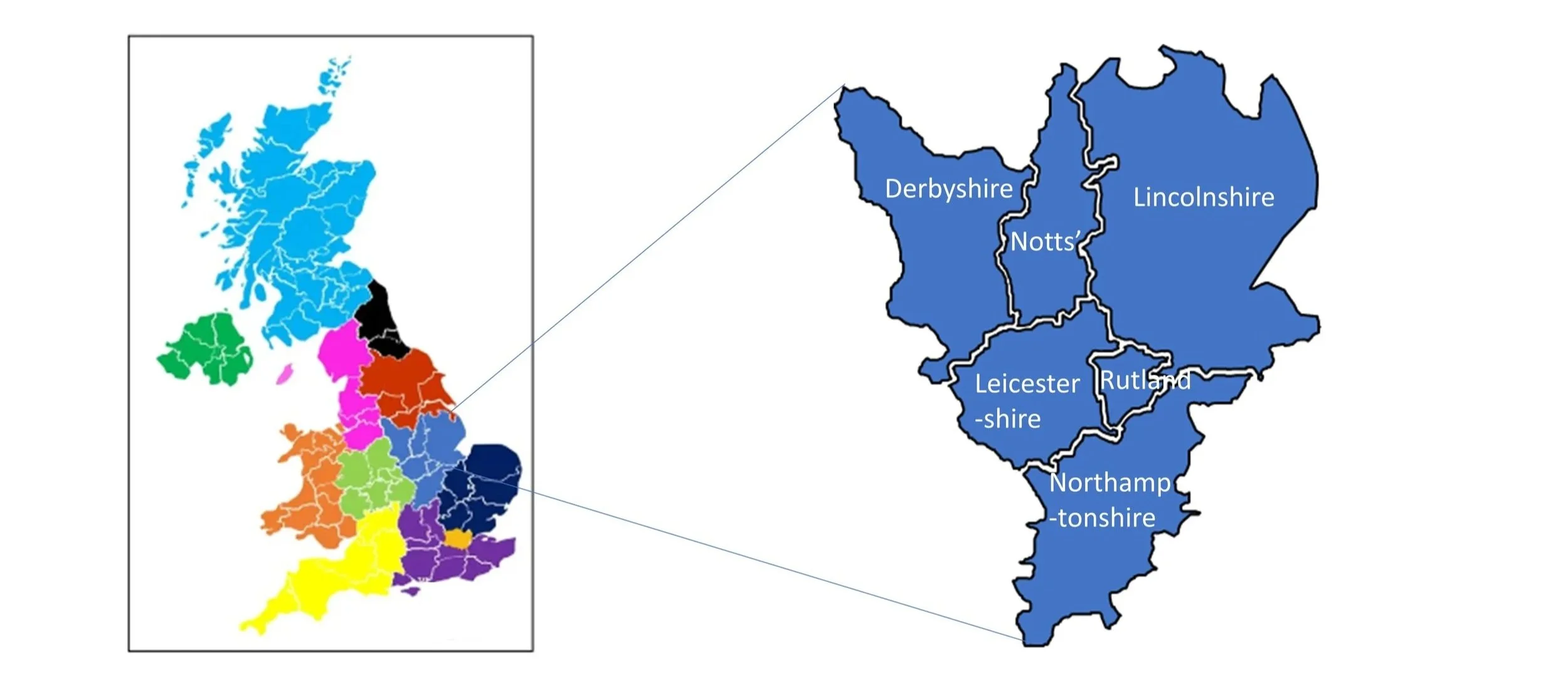
The counties of the East Midlands

parkrun event numbers per county

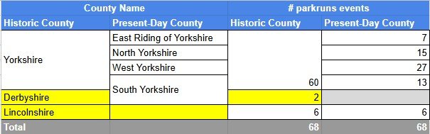
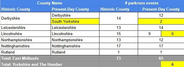
There are currently 65 parkrun events in the present-day counties of the East Midlands region. The Historic Counties, prior to the various boundary changes had a further 8 events.

Notes and exceptions.

  • Numbers of event above exclude prison parkruns and permanently cancelled events.

  • Market Harborough was in the historic county of Northamptonshire but is in the present-day county of Leicestershire.

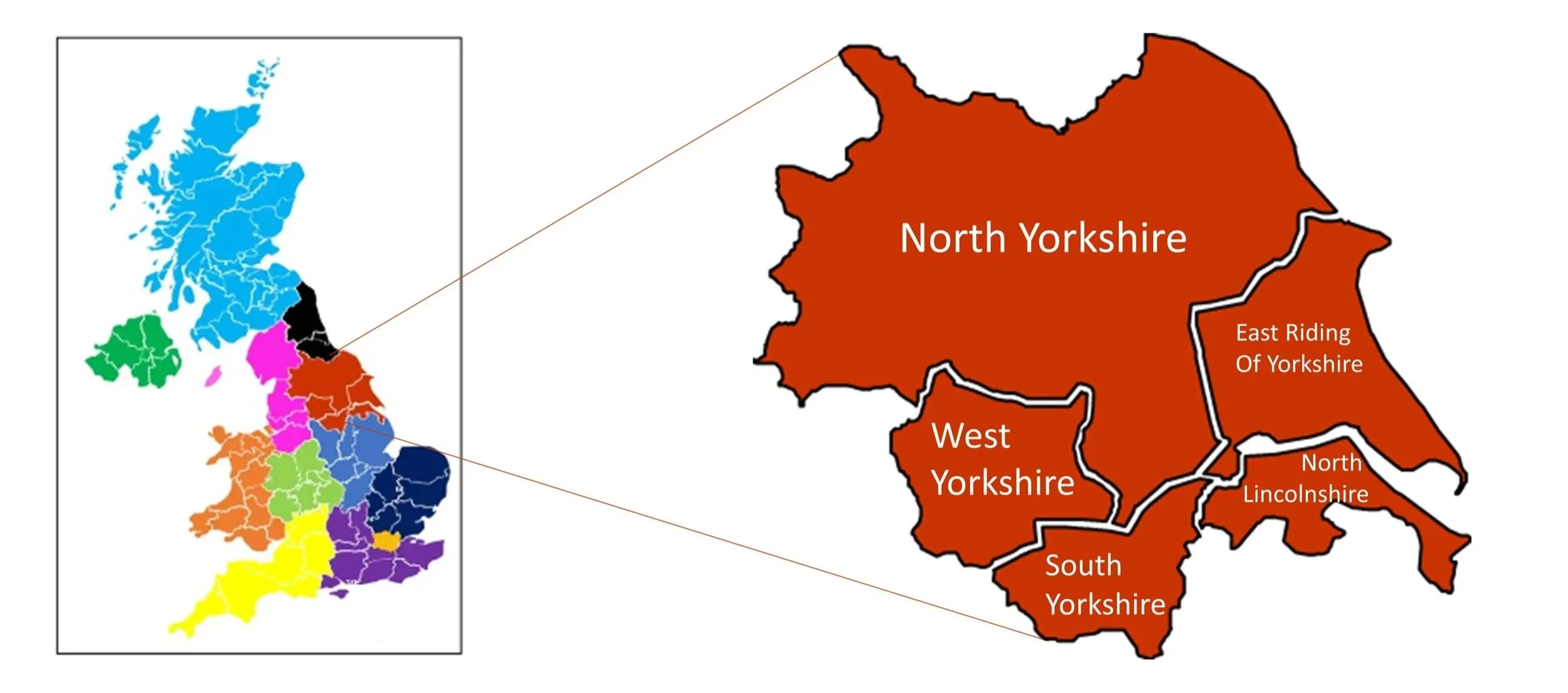
  • 6 parkrun events in the north of Lincolnshire are in the Yorkshire and the Humber region.

  • 2 parkrun events, Graves and Rother Valley, were in the historic county of Derbyshire but are now in South Yorkshire in the Yorkshire and the Humber Region.

  • Events that are in the Yorkshire and the Humber region are highlighted in yellow in the table above.


The East Midlands Counties parkrun pages

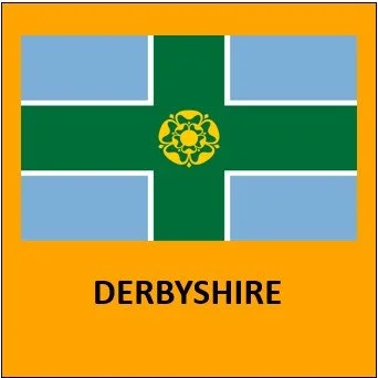
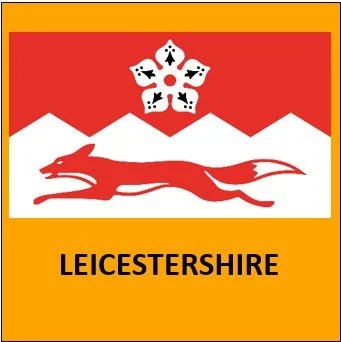
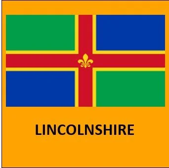
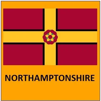
Click on each of the images below to go to the page with details of the parkrun events for the county.
More parkrun posts

parkruns are free, weekly, community 5k events all around the world. I started in December 2012 and have been obsessive about it ever since. See my parkrun Collection page for details.

Featured and popular parkrun posts:

Completing all Derbyshire parkruns

There are currently 12 parkrun events in the present-day county of Derbyshire, of which I have not yet completed any. The first was Markeaton which started on 27th April 2013 and the newest is Coronation Park which started on 24th May 2025. I’m not aware of a County Completion Name for Derbyshire but let me know in the comments if you have one.

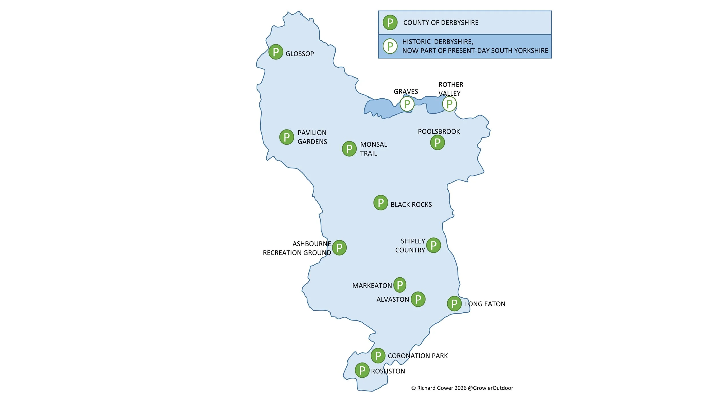
Graves and Rother Valley were both in the historic county of Derbyshire but are now in the present-day county of South Yorkshire. Graves, which started on 14th April 2012, was the first parkrun event in the historic county of Derbyshire. While most of Derbyshire is a part of the East Midlands region, the 2 that are now in South Yorkshire are part of the Yorkshire and the Humber region.

Numbers exclude 2k Junior parkruns and any events that are not open to the general public such as prisons or armed forces facilities.


A map of all parkrun events in the county of Derbyshire

All of the Derbyshire parkrun events …

Below are each of the Derbyshire 5k parkrun events in alphabetical order. A few things to note:

  • The interactive maps below take you to the approximate location for the course, typically the centre of the park. See the course instructions in the parkrun page for each event for specific directions to the start.

  • Course maps and elevation profiles show the route at the time that I ran it and may have changed since then. See the Course page in the event’s page on parkrun.org.uk for the current course outline. Note that course outlines are from Garmin data during a specific run and may vary from the officially measured distance.

  • Please contact me if you spot an event that doesn’t have a course map and elevation profile and you would like to donate one from your own run. I’m also interested in maps and elevation profiles for courses that have changed or where there’s a regular alternative route (e.g. Horsham). I’ll need a GPX file from your run plus the date. I’ll include a credit for you and will donate £1 to parkrun.


Alvaston

  • I have not yet completed this event

  • Region: East Midlands

  • Historic County: Derbyshire

  • Ceremonial County: Derbyshire

  • Inaugural: 25th May 2019

  • Links: Event Home Page, Course Page


Ashbourne Recreation Ground

  • I have not yet completed this event

  • Region: East Midlands

  • Historic County: Derbyshire

  • Ceremonial County: Derbyshire

  • Inaugural: 14th May 2022

  • Links: Event Home Page, Course Page


Black Rocks

  • I have not yet completed this event

  • Region: East Midlands

  • Historic County: Derbyshire

  • Ceremonial County: Derbyshire

  • Inaugural: 18th January 2025

  • Links: Event Home Page, Course Page


Coronation Park

  • I have not yet completed this event

  • Region: East Midlands

  • Historic County: Derbyshire

  • Ceremonial County: Derbyshire

  • Inaugural: 24th May 2025

  • Links: Event Home Page, Course Page


Glossop

  • I have not yet completed this event

  • Region: East Midlands

  • Historic County: Derbyshire

  • Ceremonial County: Derbyshire

  • Inaugural: 26th September 2015

  • Links: Event Home Page, Course Page


Graves

  • I have not yet completed this event

  • Region: Yorkshire and the Humber

  • Historic County: Derbyshire

  • Ceremonial County: South Yorkshire

  • Inaugural: 14th April 2012

  • Links: Event Home Page, Course Page


Long Eaton

  • I have not yet completed this event

  • Region: East Midlands

  • Historic County: Derbyshire

  • Ceremonial County: Derbyshire

  • Inaugural: 13th June 2015

  • Links: Event Home Page, Course Page


Markeaton

  • I have not yet completed this event

  • Region: East Midlands

  • Historic County: Derbyshire

  • Ceremonial County: Derbyshire

  • Inaugural: 27th April 2013

  • Links: Event Home Page, Course Page


Monsal Trail

  • I have not yet completed this event

  • Region: East Midlands

  • Historic County: Derbyshire

  • Ceremonial County: Derbyshire

  • Inaugural: 6th January 2018

  • Links: Event Home Page, Course Page


Pavilion Gardens

  • I have not yet completed this event

  • Region: East Midlands

  • Historic County: Derbyshire

  • Ceremonial County: Derbyshire

  • Inaugural: 5th November 2022

  • Links: Event Home Page, Course Page


Poolsbrook

  • I have not yet completed this event

  • Region: East Midlands

  • Historic County: Derbyshire

  • Ceremonial County: Derbyshire

  • Inaugural: 2nd April 2016

  • Links: Event Home Page, Course Page


Rosliston

  • I have not yet completed this event

  • Region: East Midlands

  • Historic County: Derbyshire

  • Ceremonial County: Derbyshire

  • Inaugural: 12th March 2016

  • Links: Event Home Page, Course Page


Rother Valley

  • I have not yet completed this event

  • Region: Yorkshire and the Humber

  • Historic County: Derbyshire

  • Ceremonial County: South Yorkshire

  • Inaugural: 11th May 2013

  • Links: Event Home Page, Course Page


Shipley Country

  • I have not yet completed this event

  • Region: East Midlands

  • Historic County: Derbyshire

  • Ceremonial County: Derbyshire

  • Inaugural: 25th February 2017

  • Links: Event Home Page, Course Page


More parkrun posts

parkruns are free, weekly, community 5k events all around the world. I started in December 2012 and have been obsessive about it ever since. See my parkrun Collection page for details.

Featured and popular parkrun posts:

Peak District County Tops

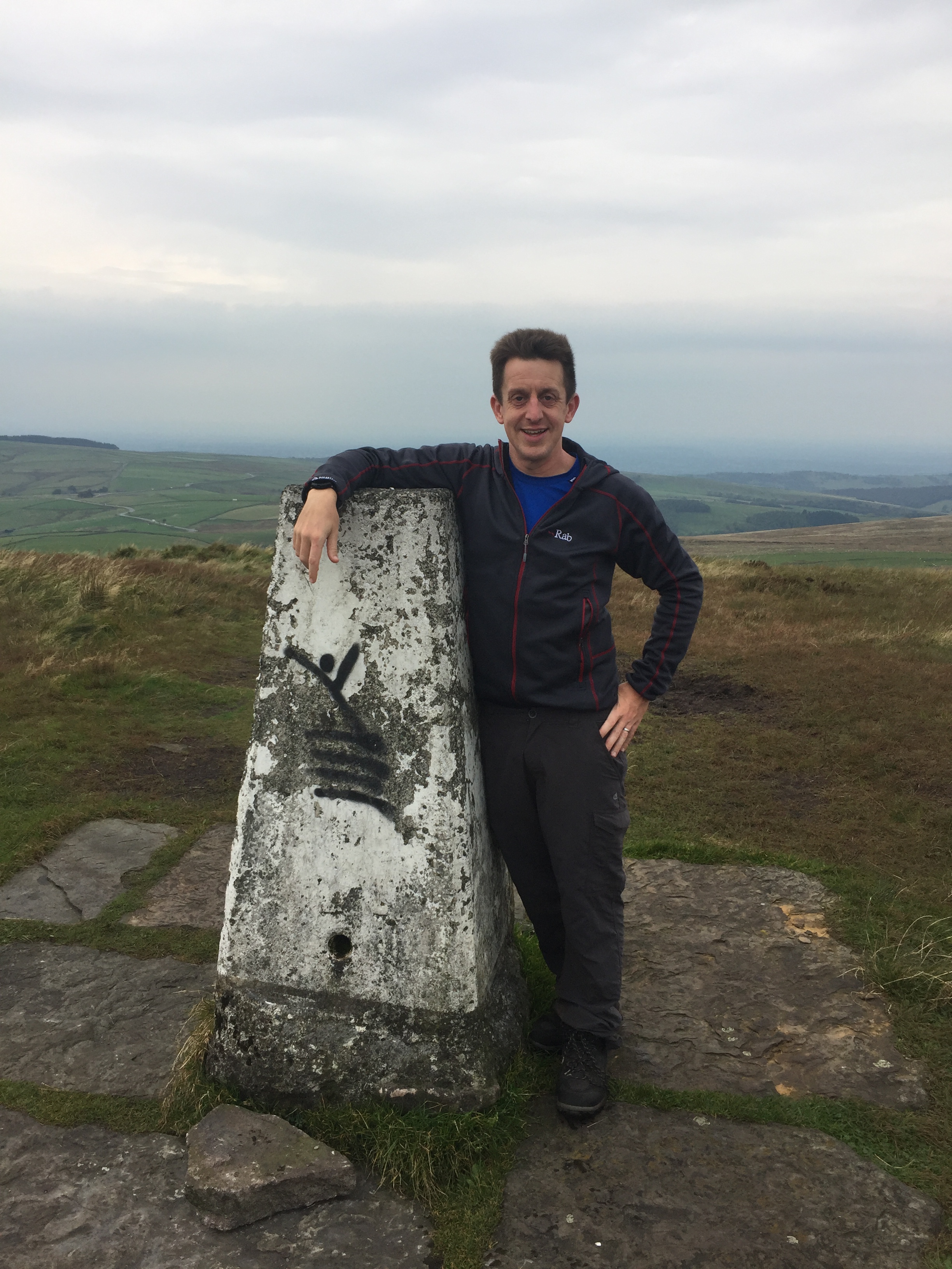
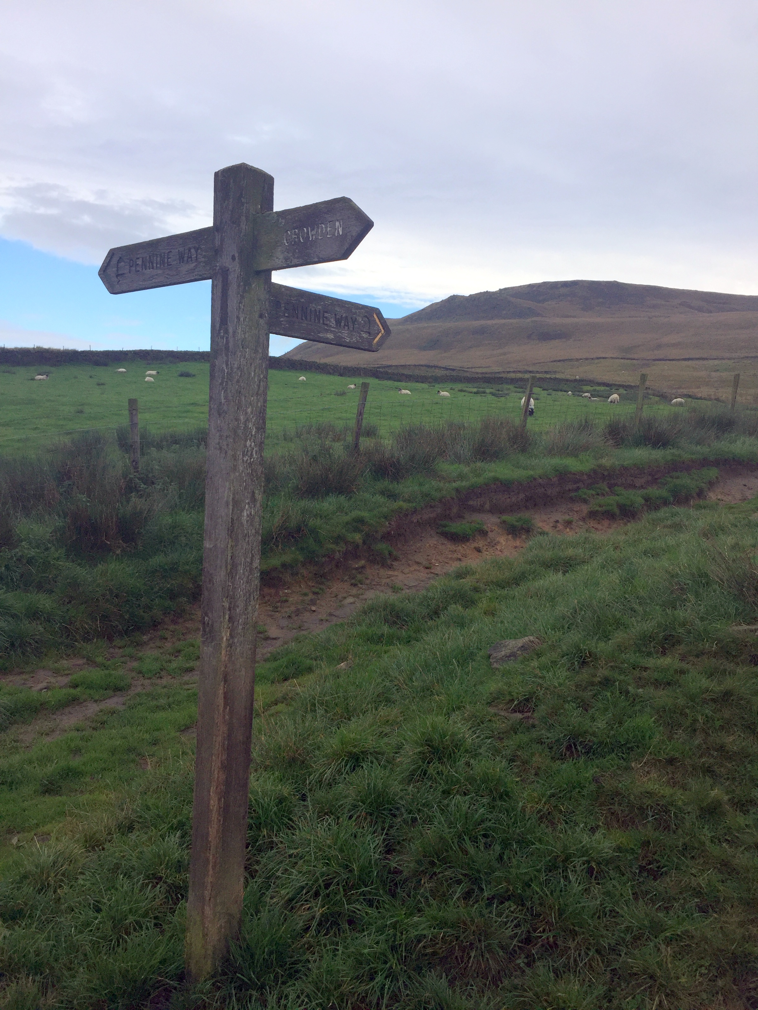
On the Pennine Way between Black Chew Head and Black Hill


Our Peak District trip was the latest in what was now becoming an annual County Top bagging long weekend. We based ourselves at YHA Castleton and did day trips to conquer the historic and some present day county tops in the area.

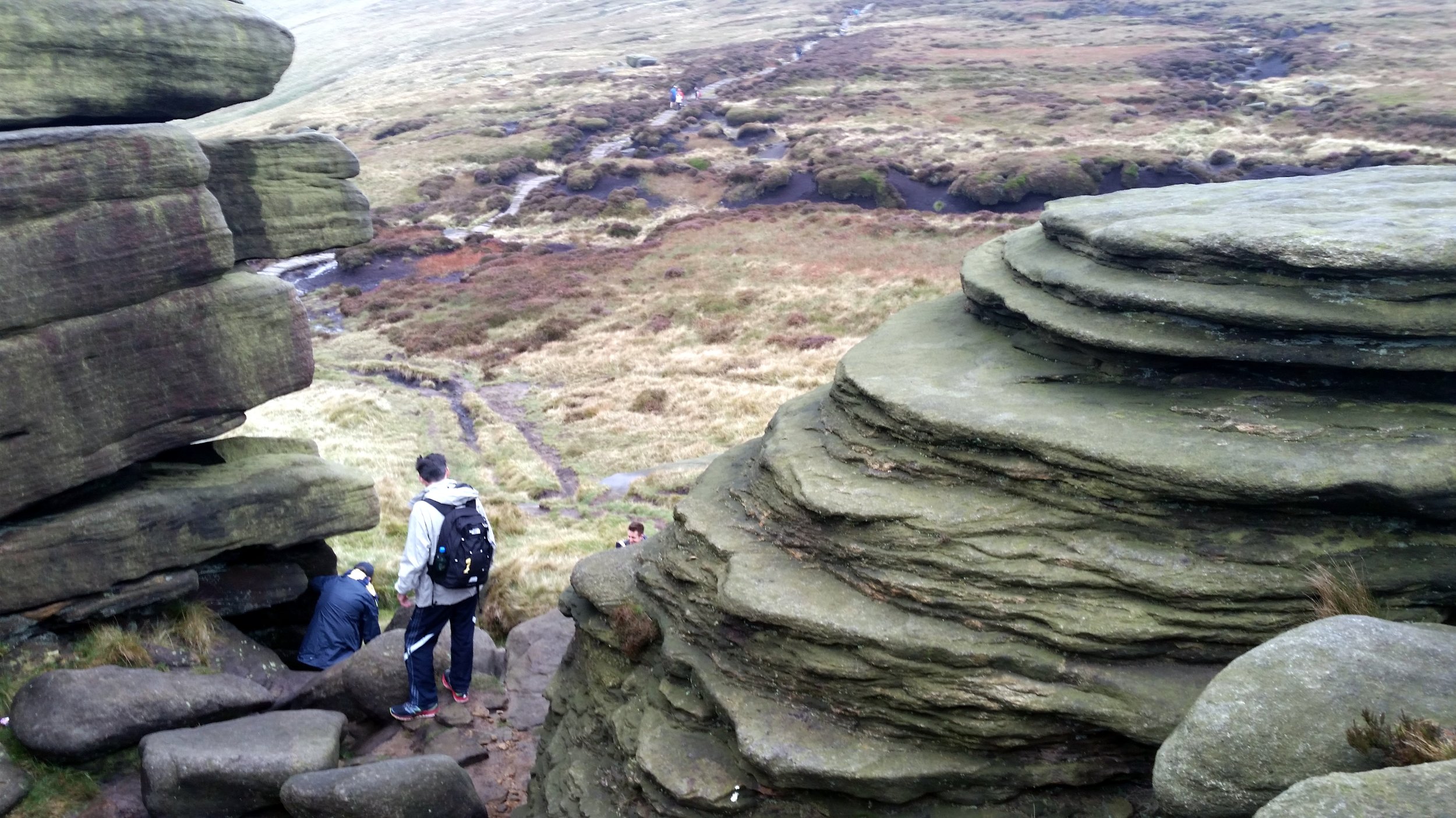
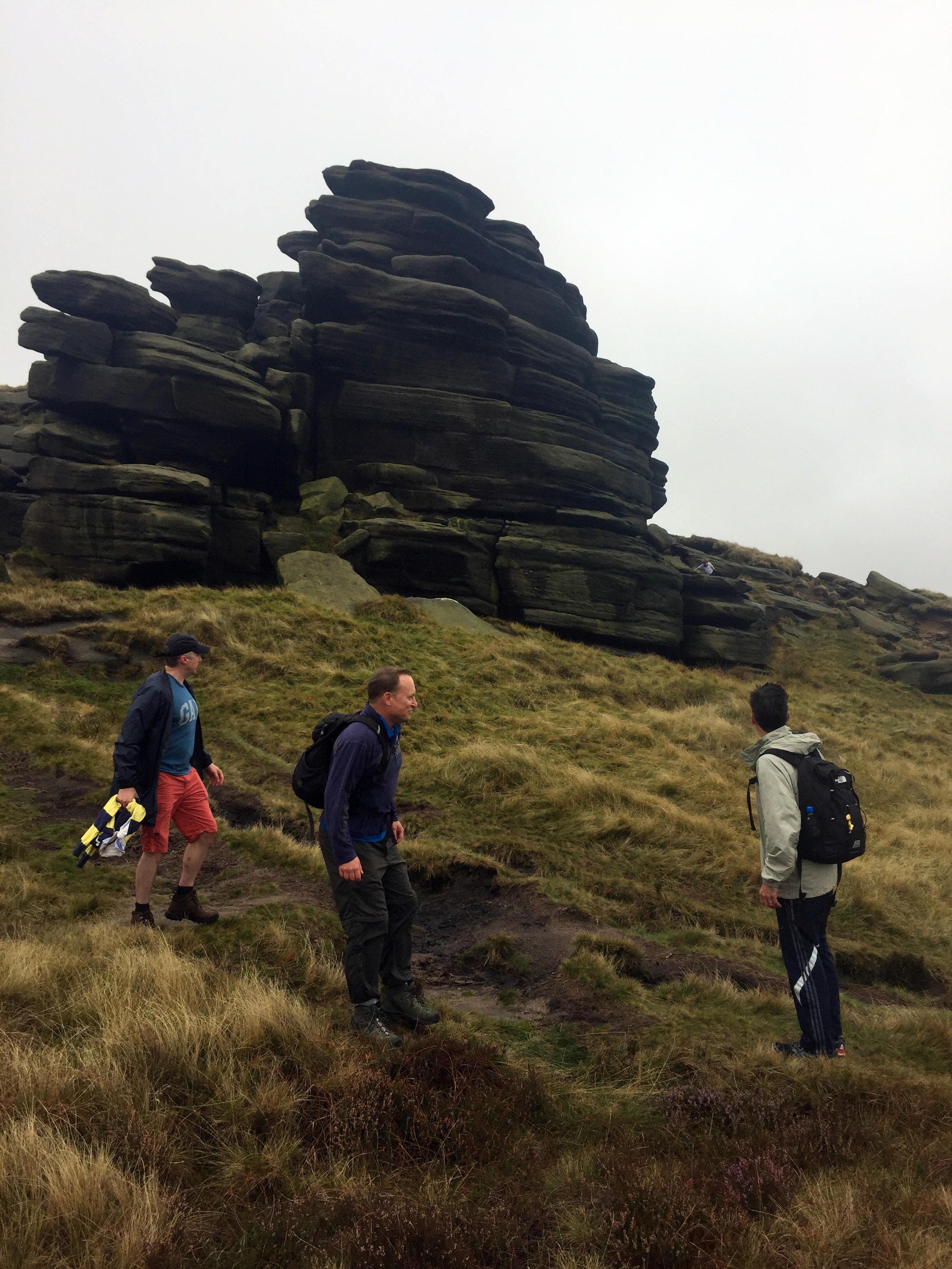
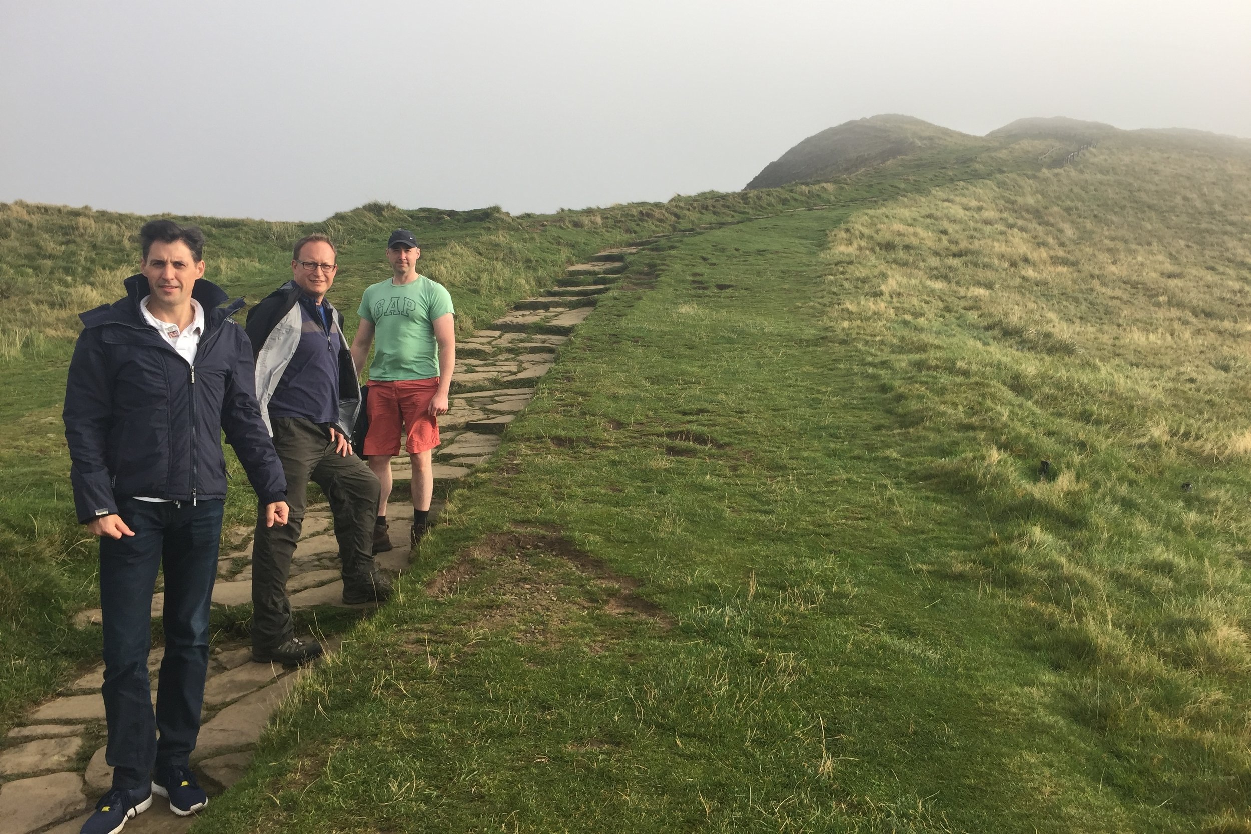
First up wit Kinder Scout, the County Top of Derbyshire and the hugest peak in the area. We started from the car park at Edale station and too an anti clockwise route taking in Grindslow Knoll and Crowden Tower. We had to divert from the route to find the actual summit. With low visibility, drizzly rain and an ambiguous high point we relied on following a GPS bearing. With no Trig Pillar or obvious summit market we decided that the big stick on a clump was the summit and declared victory.

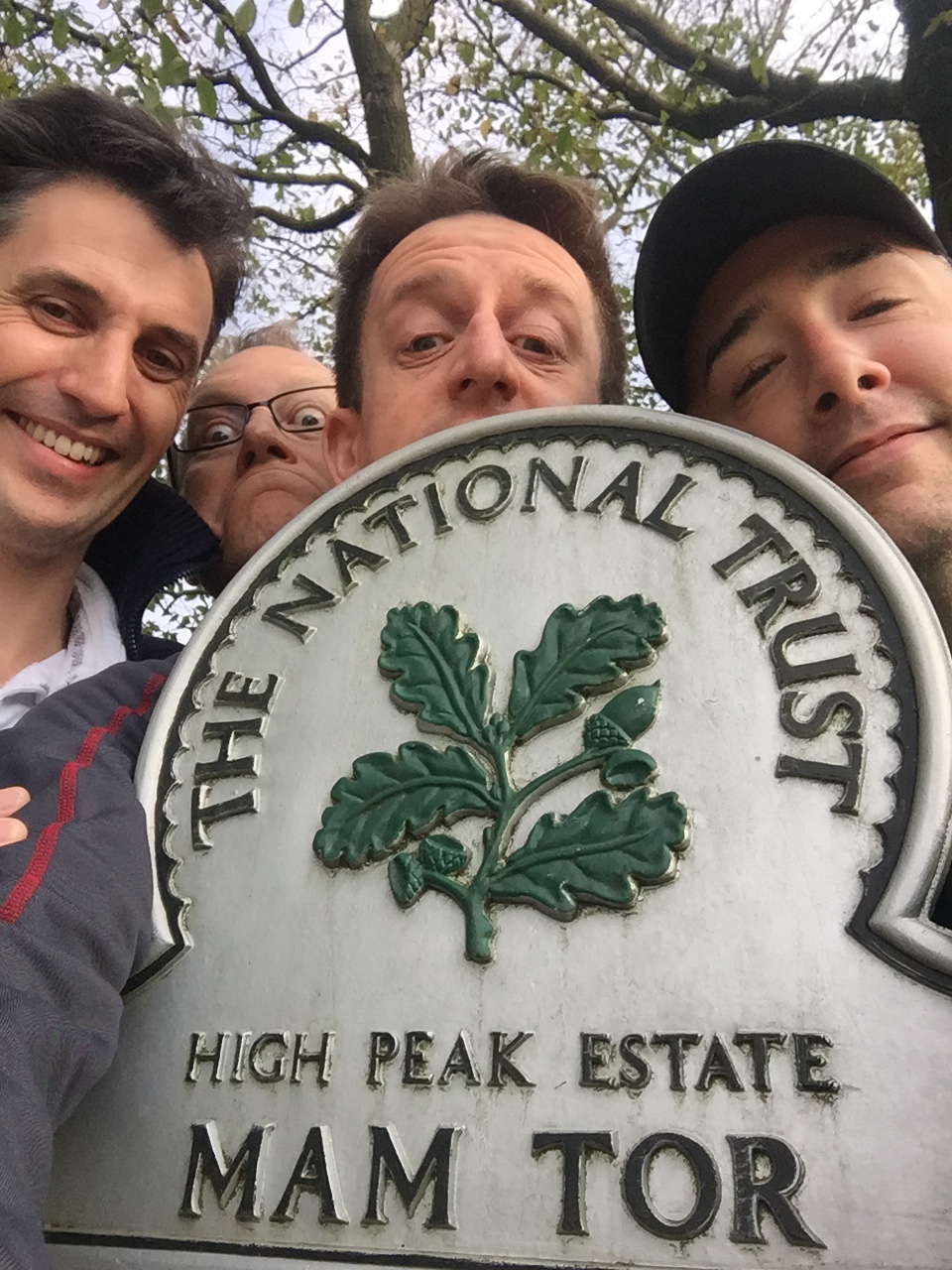
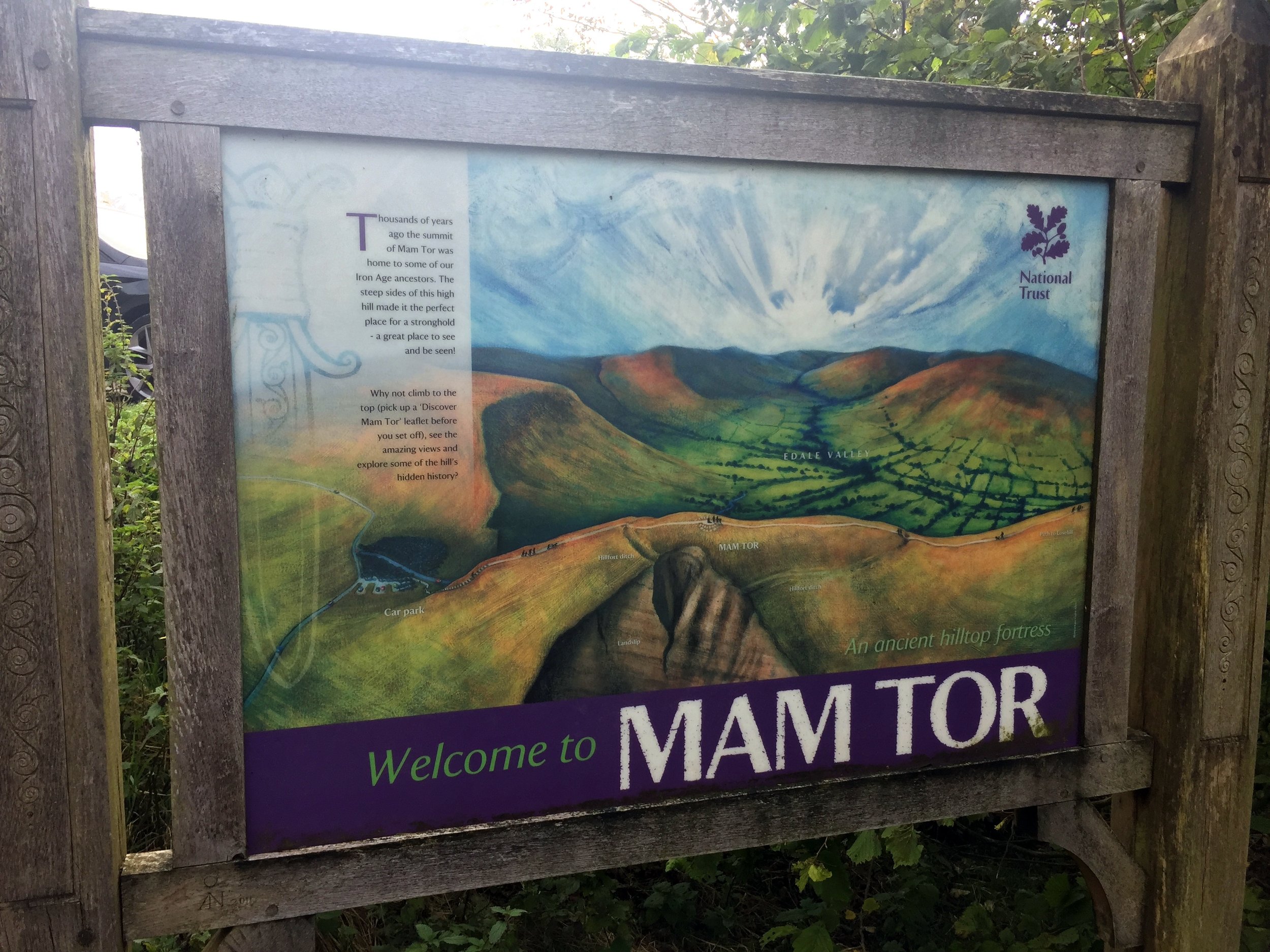
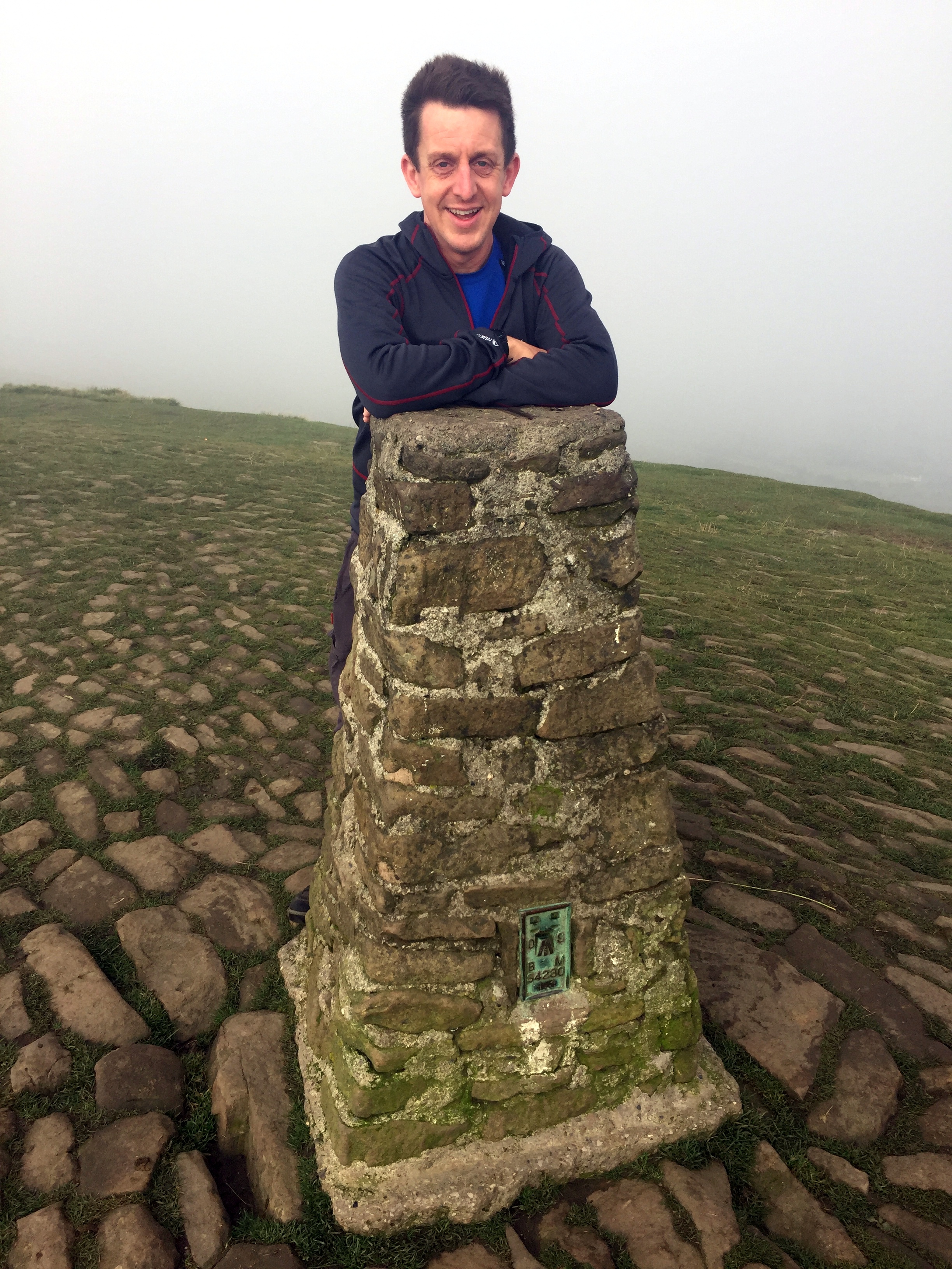
Although neither an historic nor present day County Top, Mam Tor was too iconic to miss. It was also close to our YHA and a quick and easy Trig Point bag, so we ticked it off in the way to Cheeks Hill.

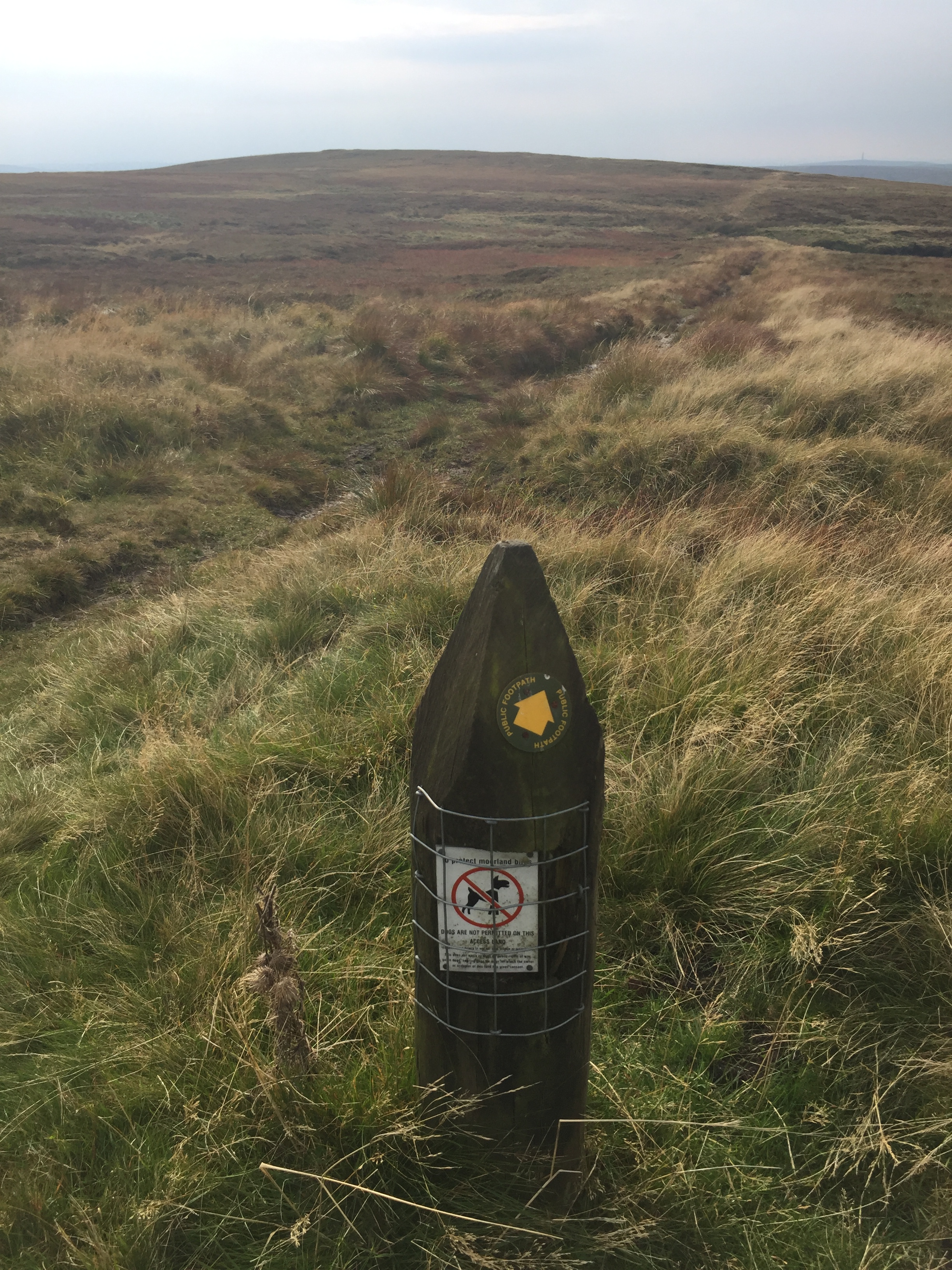
This was the underwhelming peak of the trip. The high point of the historic county of Staffordshire is a short walk across boggy ground to a lonely corner of the county market by a sheep pen. One for County Top completists but at least it’s in the way to Shining Tor. This one makes up for the underwhelm of Cheeks Hill. It’s a short walk but rewarded by a Trig Pillar and good views on a clear day.

We saved the best walk for last on this trip. In one 8 mile walk you get an historic county top, a present day one and a scenic section of the Pennine Way. This was a point to point walk but we had the advantage of having 2 cars between the group so we could do a 2 car shuffle. We left one in a lay-by on the A635 and parked the other at our starting point at Crowden. For much of the walk we followed the Pennine Way, with a diversion after 3 km to visit Black Chew Head. If Black Hill is all you’re interested in then an out and back from the A635 is simpler.


Kinder Scout

Significance: Highest peak in Derbyshire (Historic CT), Peak District National Park High Point
Member of: Marilyn, Hewitt, Hardy, Nuttall
Parent Peak: Cross Fell. NHN = Fountains Fell South Top
Elevation: 636m
Date climbed: 23rd September 2017
Coordinates: 53°23′0″N 1°52′2″W 

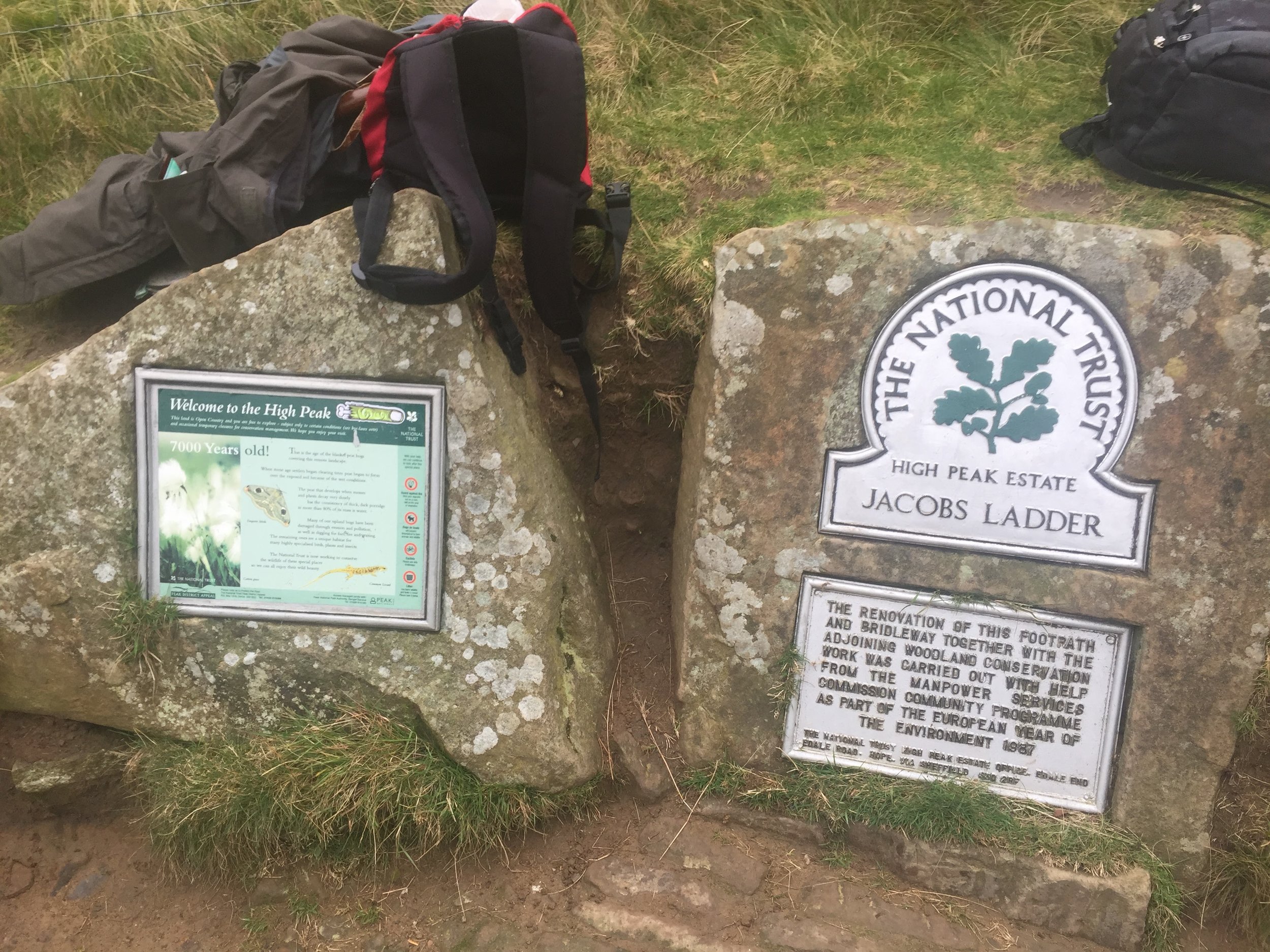
Route Start / End: Car park at Edale Train Station, anti-clockwise circular route via Grindslow Knoll, Crowden Tower and back via Jacobs Ladder
Route Distance: 14 km (8.7 miles)
Route Elevation Change: +/- 480m
Subsidiary tops on route: Grindslow Knoll
GPX File: get via Buy Me a Coffee
Other routes touched (walk): Pennine Way
Other routes touched (cycle): None
Map: OS Explorer OL1 The Peak District - Dark Peak area
Guidebook: The UK's County Tops (Jonny Muir), Walking the County High Points of England (David Bathurst)
Links: Wikipedia (Derbyshire), Wikipedia (Kinder Scout), Peakbagger, Hillbagging, National Trust

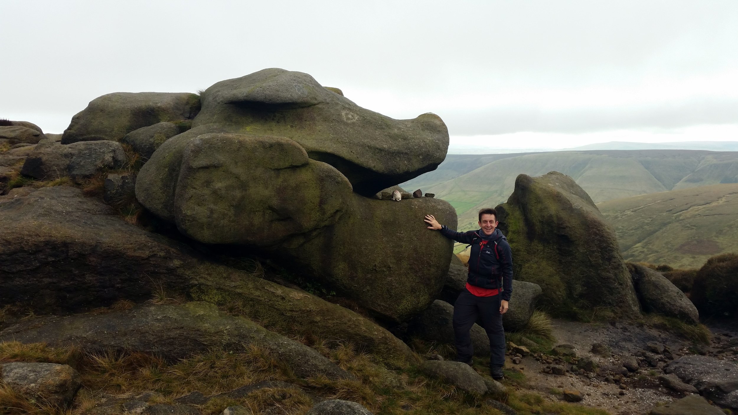
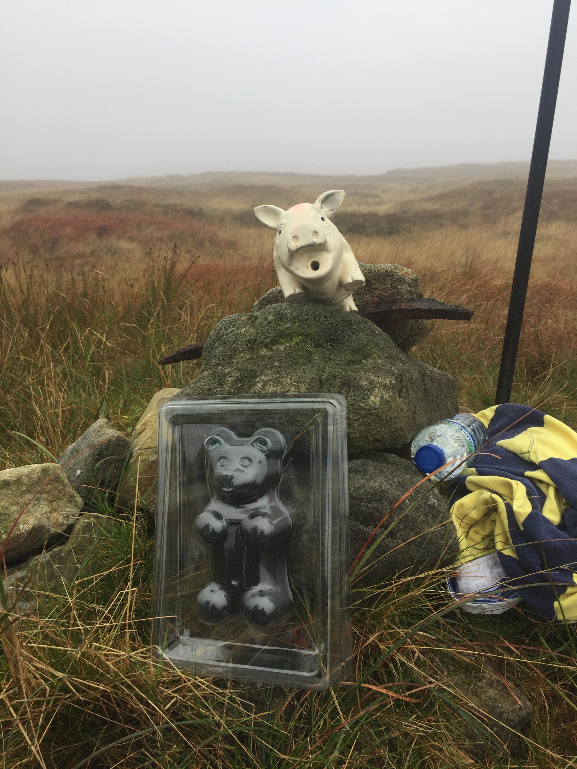
Kinder Scout is an icon of the Peak District and extremely popular walk. Strangely though, the summit is amazingly hard to find and most walkers don't stray far from the footpaths to find it. We gave it a good go, taking a bearing from the main trail just west of Pym Chair. After 10 minutes of faffing around we found a pile of stones a stick which may have been the summit. That was good enough for us to call it the peak and celebrate with a 1 kilo, now frozen, gummy bear. 

elevation_profile.jpg

Mam Tor (and Lords Seat)

Significance: N/A
Member of: Dewey
Parent Peak: Kinder Scout. NHN = Lords Seat, then Brown Knoll
Historic County: Derbyshire (of which Kinder Scout is the County Top)
Elevation: 517m
Date climbed: 24th September 2017
Coordinates:  53°20′57″N 1°48′38″W

Route Start / End: Mam Nick Car Park, Sparrowpit, Buxton, S33 8WA
Route Distance: 4.2 km (2.6 miles)
Route Elevation Change: +/- 145m
Subsidiary tops on route: None
GPX File: get via Buy Me a Coffee
Other routes touched: None
OS Trig Pillar: TP4623 - Mam Tor
Map: OS Explorer OL1 The Peak District - Dark Peak area
Links (Mam Tor): Wikipedia, Peakbagger, Hillbagging, National Trust
Links (Lords Seat): Peakbagger, Hillbagging


Cheeks Hill

Also known as: Cheeks Hill-South Slope
Significance: 
Highest peak in Staffordshire (Historic CT)
Member of: N/A
Parent Peak: Shining Tor. NHN = Whetstone Ridge
Elevation: 520m
Date climbed: 24th September 2017
Coordinates: 53°13′31″N 1°57′44″W

Route Start / End: Where Dane Valley Way crosses country road between A53 and A54
Route Distance: 1.5 km ( 0.9 miles)
Route Elevation Change: +/- 25m
Subsidiary tops on route: None
GPX File: get via Buy Me a Coffee
Other routes touched (walk): Dane Valley Way
Other routes touched (cycle): None
Map: OS Explorer OL24 The Peak District
Guidebook: The UK's County Tops (Jonny Muir), Walking the County High Points of England (David Bathurst)
Links: Wikipedia (Cheeks Hill), Peakbagger, Hillbagger

A competitor for the least interesting County Top prize at less than 1 mile and 30 metres of ascent. Only makes sense if done whilst in the area.

IMG_5156.JPG
elevation_profile - Cheeks Hill.jpg

Shining Tor

Significance: Highest peak in Cheshire (Present Day CT), Cheshire East Unitary Authority High Point
Member of: Marilyn, Dewey
Parent Peak: Black Hill. NHN = Brown Knoll
Historic County: Cheshire (of which Black Hill is the County Top)
Elevation: 559m
Date climbed: 24th September 2017
Coordinates:  53°15′39″N 2°00′34″W

Route Start / End: Car park of Peak View Tea Rooms, A537
Route Distance: 3.3 km (2.0 miles)
Route Elevation Change: +/- 75m
Subsidiary tops on route: None
GPX File: get via Buy Me a Coffee
Other routes touched: None
OS Trig Pillar: TP5950 - Shining Tor
Map: OS Explorer OL24 The Peak District
Guidebook: The UK's County Tops (Jonny Muir), Walking the County High Points of England (David Bathurst)
Links: Wikipedia (Cheshire), Wikipedia (Cheshire East), Wikipedia (Shining Tor), Peakbagger, Hillbagging


Black Chew Head

Significance Highest peak in Greater Manchester (Present Day CT), Oldham Unitary Authority High Point
Member of: Dewey
Parent Peak: Black Hill. NHN = Black Hill
Historic County: Yorkshire (of which Mickle Fell is the County Top)
Elevation: 542m
Coordinates: 53°30′57.96″N 1°55′17.76″W
Links: Wikipedia (Greater Manchester), Wikipedia (Oldham), Wikipedia (Black Chew Head), Peakbagger, Hillbagging

Black Hill

Significance Highest peak in Cheshire (Historic CT), West Yorkshire (Present Day CT), Kirklees Unitary Authority High Point
Member of: Marilyn, Dewey
Parent Peak: Kinder Scout. NHN = Bleaklow Head
Elevation: 582m
Coordinates: 53°32′18″N 1°52′53″W
OS Trig Pillar: TP3980 - Holme Moss
Links: Wikipedia (Cheshire), Wikipedia (West Yorkshire), Wikipedia (Kirklees), Wikipedia (Black Hill), Peakbagger, Hillbagging

For both peaks:

Date climbed: 25th September 2017
Route Start / End: Point to point walk along Pennine Way from Crowden to Greenfield Road
Route Distance: 12.9 km (8 miles)
Route Elevation Change: +531m / -296m. Net 235m
Subsidiary tops on route: None
GPX File: get via Buy Me a Coffee
Other routes touched: The Pennine Way
Map: OS Explorer OL1 The Peak District - Dark Peak area
Guidebook: The UK's County Tops (Jonny Muir), Walking the County High Points of England (David Bathurst)

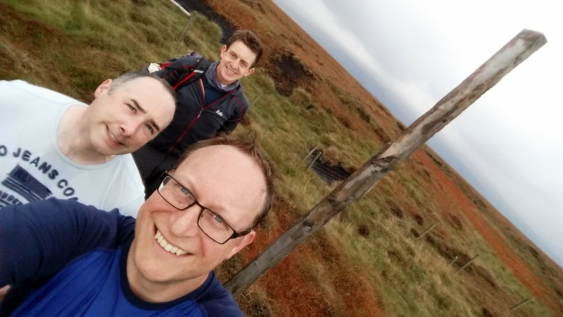
Two County Tops for the price of one in a scenic section of the Pennine Way. The 11 km trek started in Crowden, finishing at the junction of the Pennine Way and the A635. A short diversion from the main path at Laddow Rocks takes you up to Black Chew Head, the high point of Greater Manchester and Oldham. It was a clear day and we found it easily. Be extra careful in low visibility, especially when re-joining the Pennine Way as the path follows a cliff-edge here. Black Hill, the (Historic) County Top of Cheshire is right on the Pennine Way path at around 8km into the trip.

elevation_profile.jpg


Other High Points In Cheshire

Other High Points In Derbyshire

Other High Points In Staffordshire