Normanby Top: Lincolnshire County Top

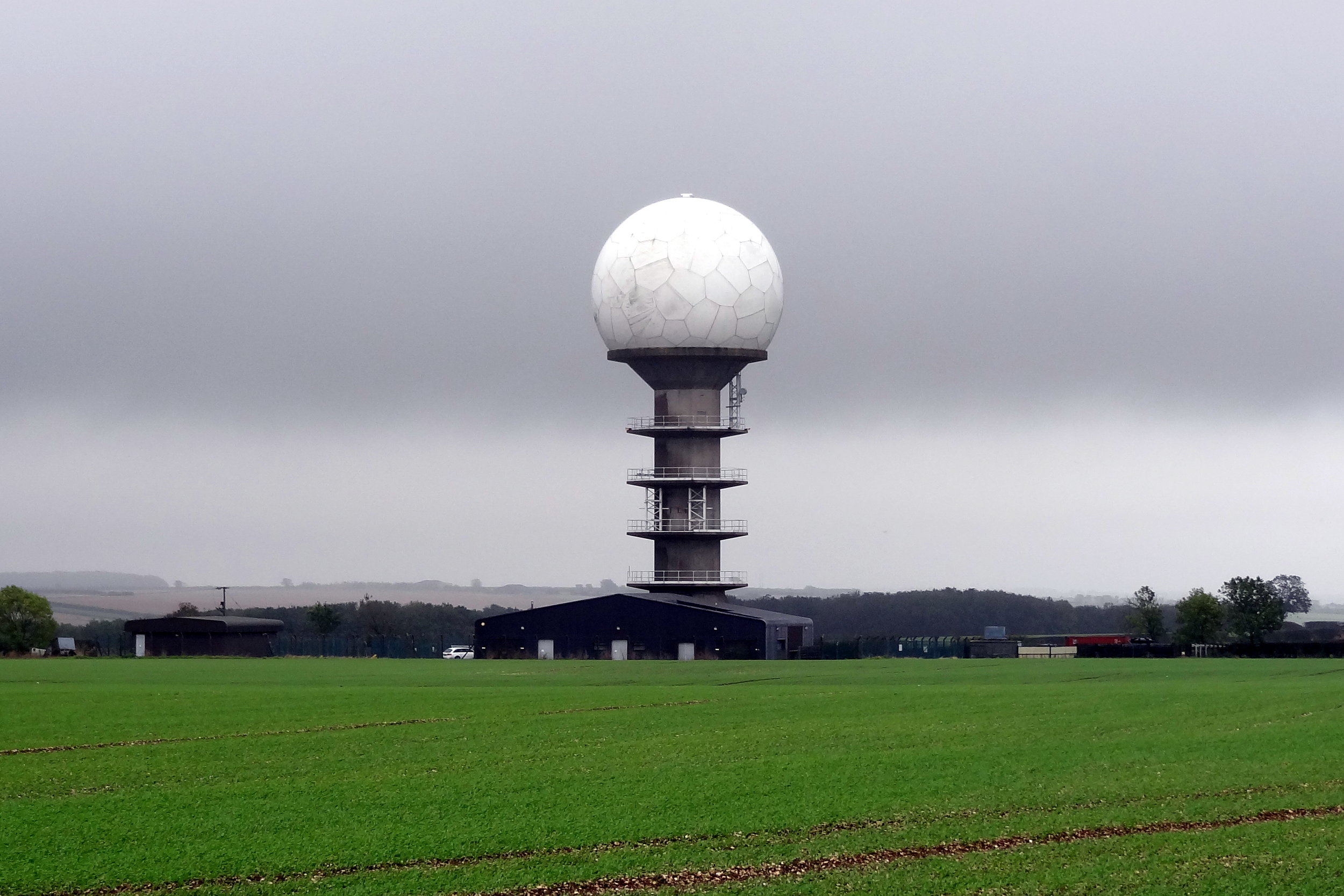
Radar tower near the summit
Normanby Top
Also Known As: Wolds Top, Normanby Hill, The Wolds
Significance: Highest peak in Lincolnshire (Historic County Top), Parts of Lindsey (Administrative County Top), Lincolnshire Wolds National Landscape
Member of: Marilyn
Parent Peak: Walton Hill.
Nearest Higher Neighbour: Bishop Wilton Wold
Elevation: 168m
Date climbed: October 14th 2014
Coordinates: 53°27′09″N 0°18′48″W
Route Start / End: Near radio station tower (massive golf ball) on east-west road between Normanby Road and B1225
Route Distance: 1.1 km (0.7 miles)
Route Elevation Change: +/- 5m
Subsidiary tops on route: None
GPX File: get via Buy Me a Coffee
Other routes touched: None
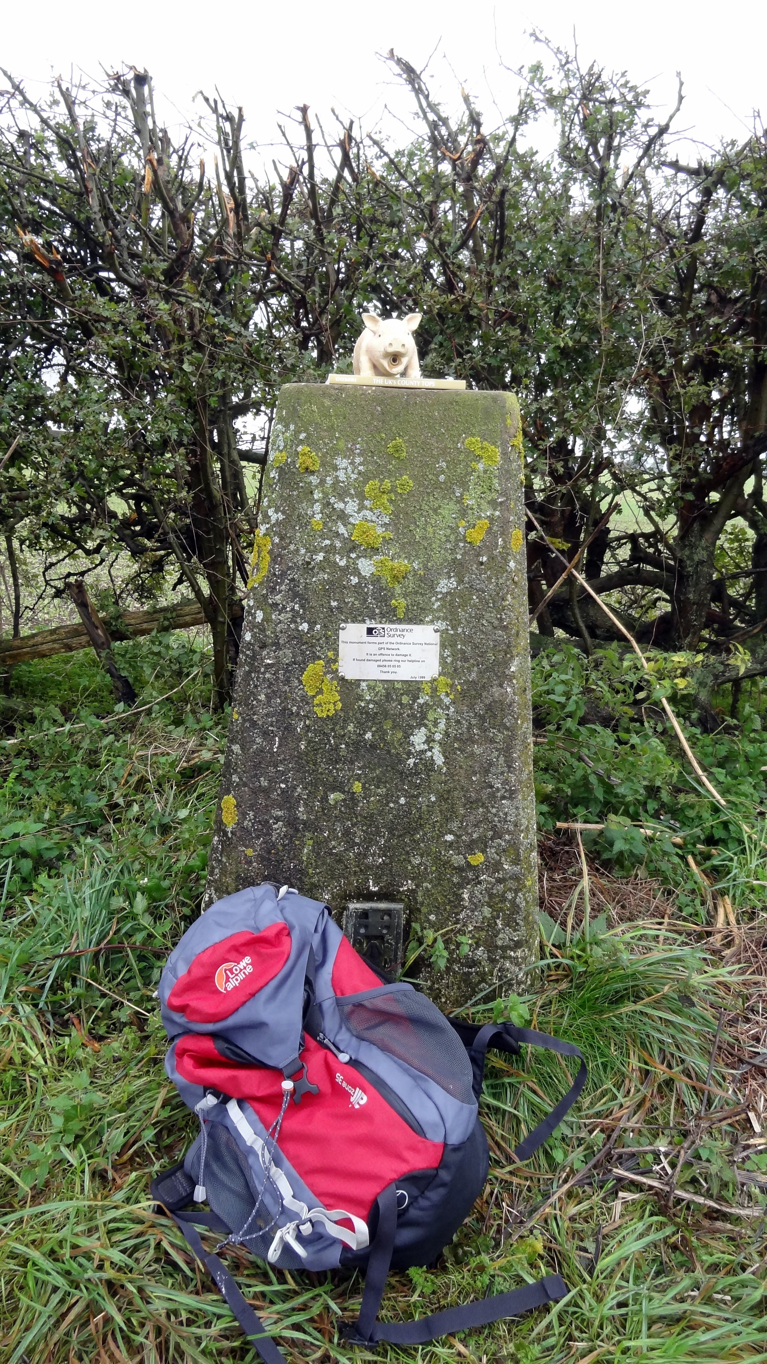
OS Trig Pillar: TP0753 - Acre
Map: OS Explorer 282: Lincolnshire Wolds North
Guidebook: The UK's County Tops (Jonny Muir), Walking the County High Points of England (David Bathurst)
Links: Wikipedia (Lincolnshire), Wikipedia (Parts of Lindsey), Wikipedia (Normanby Top), Peakbagger, Hillbagging

OTHER HIGH POINTS IN Lincolnshire
Viking Way (151m) Parts of Kesteven Administrative County High Point: Peakbagger / Hillbagging
Wold Newton (117m) North East Lincolnshire Unitary Authority High Point: Peakbagger / Hillbagging
Saxby Wold (102m) North Lincolnshire Unitary Authority High Point: Peakbagger / Hillbagging
Pinchbeck Marsh (8m) Parts of Holland Administrative County High Point: Peakbagger / Hillbagging