Buscot Red Walk

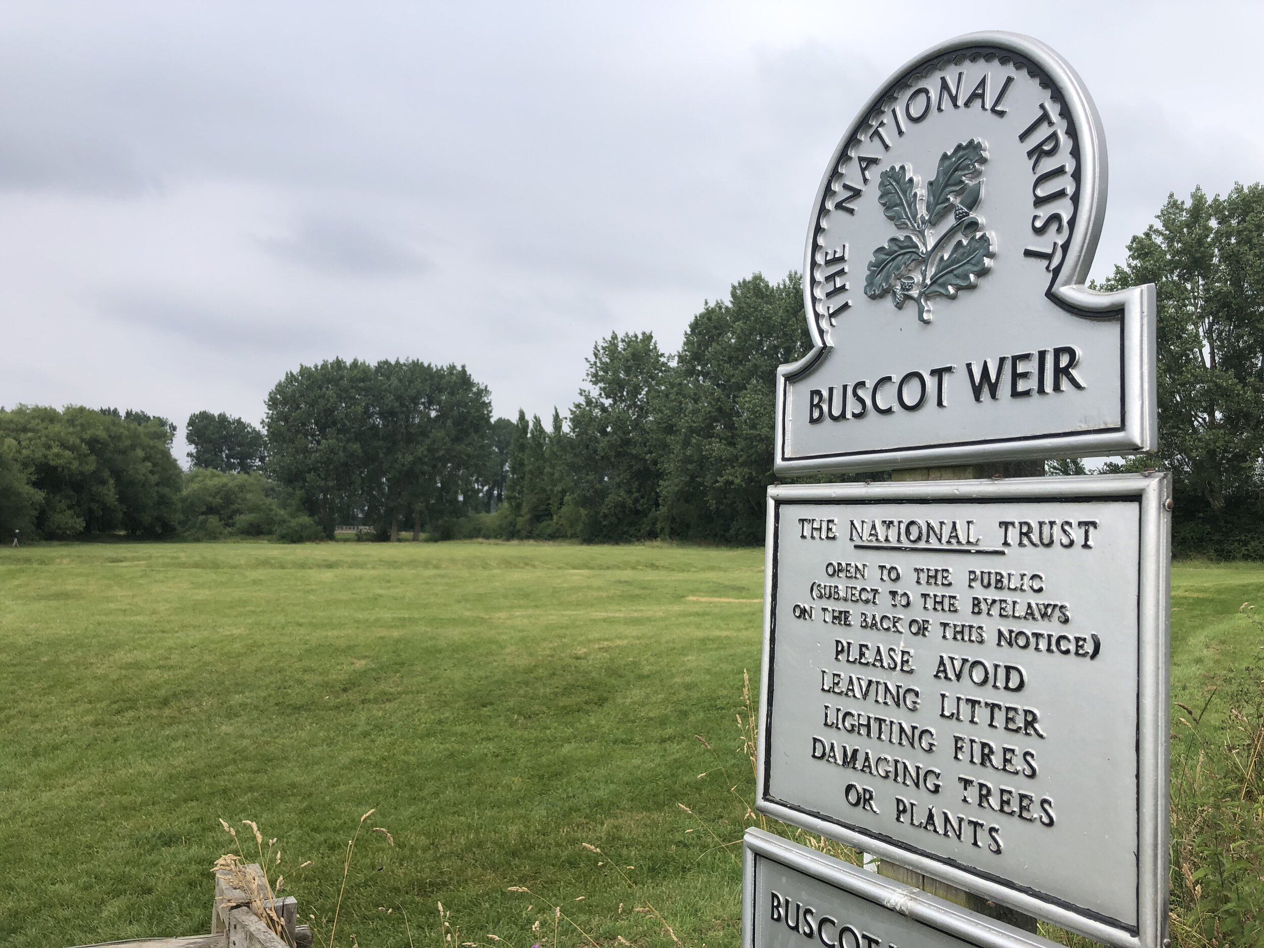
Buscot Weir
Start & Finish: Buscot National Trust Car Park, Buscot, Faringdon, SN7 8BY
Distance: 5.8 km (3.6 miles)
Elevation change: +/- 23m
GPX File: get via Buy Me a Coffee
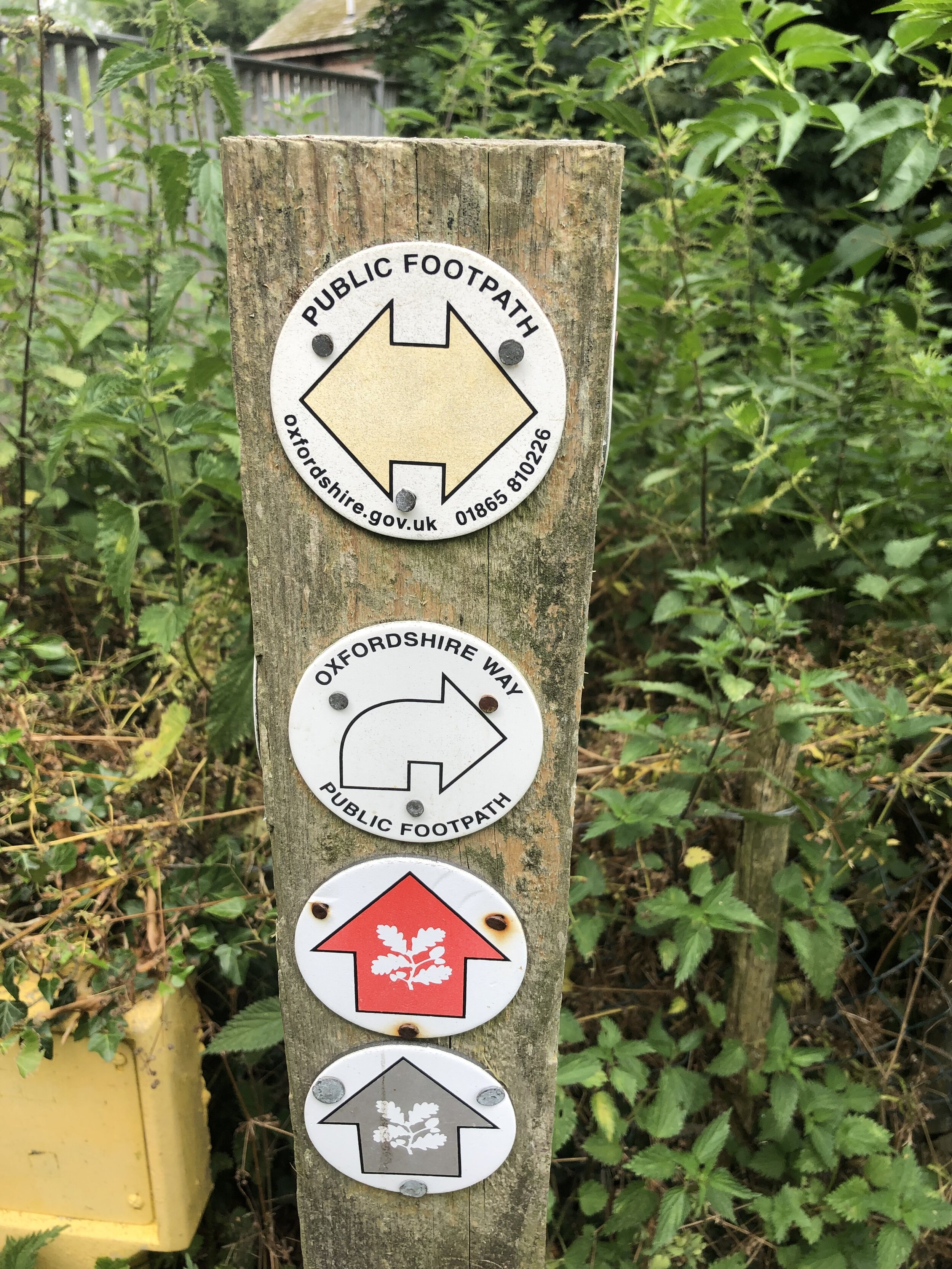
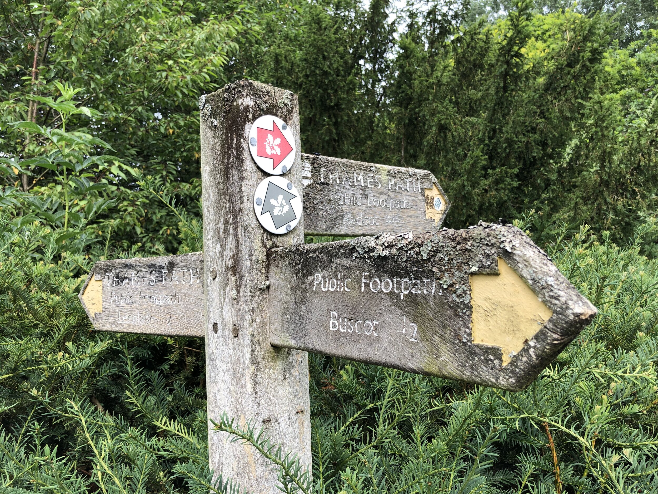
Other routes touched (walk): Thames Path
Other routes touched (cycle): None
Pubs / Cafes on route: Buscot National Trust Tea Room
Map: OS Explorer Map (169) Cirencester and Swindon, Fairford and Cricklade
Links: National Trust Buscot and Coleshill Estates, Buscot
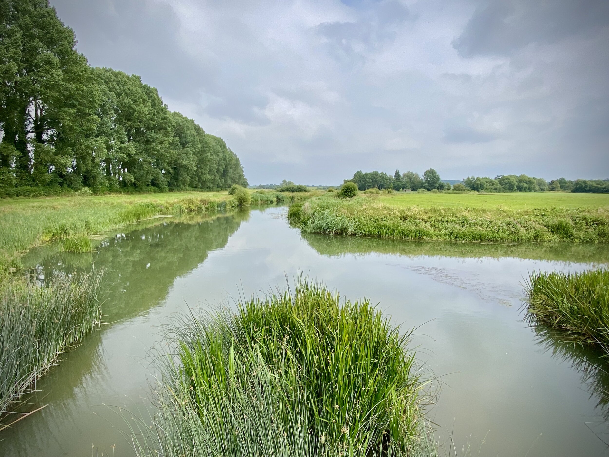
This is a pleasant, easy to navigate walk on National Trust land near Lechlade.
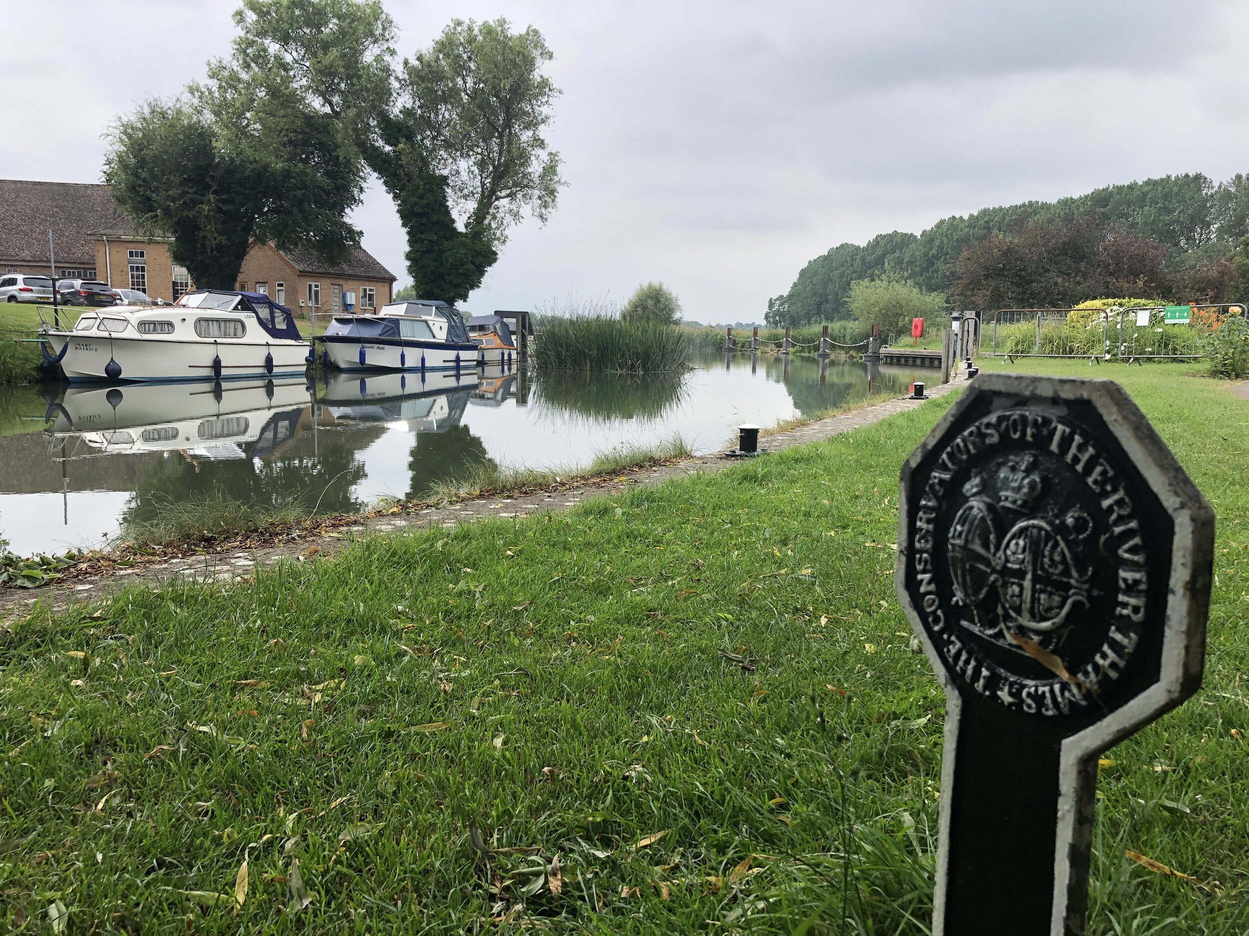
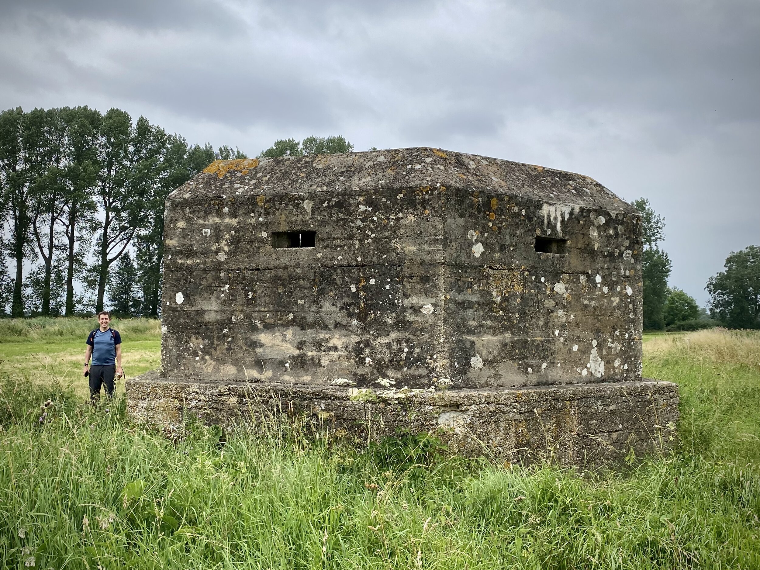
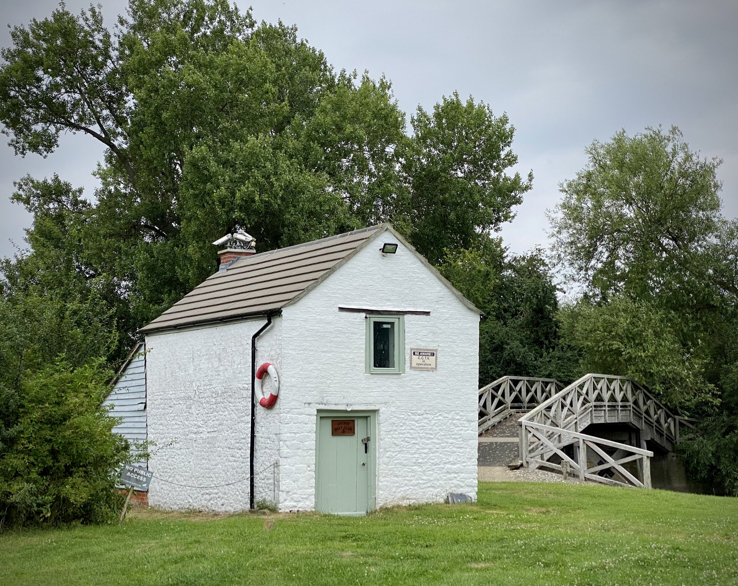
Start at the NT Cark Park (free to members) and walk north to the weir. Cross over the weir to the north side of the Thames and follow the Thames Path east until you reach the next footbridge. Look out for the two WW2 Pill Boxes along the path. On the south side of the Thames you’ll pass a small white building that was once an Inn and now a boat club. From here follow the red NT roundels on paths through fields in a south/south-westerly direction back to the weir. Retrace your steps to the car park.