Posts tagged Cotswolds
Buscot Red Walk
Buscot Weir

Buscot Weir


Start & Finish: Buscot National Trust Car Park, Buscot, Faringdon, SN7 8BY
Distance: 5.8 km (3.6 miles)
Elevation change: +/- 23m
GPX File: get via Buy Me a Coffee
Other routes touched (walk): Thames Path
Other routes touched (cycle): None
Pubs / Cafes on route: Buscot National Trust Tea Room
Map: OS Explorer Map (169) Cirencester and Swindon, Fairford and Cricklade
Links: National Trust Buscot and Coleshill Estates, Buscot


This is a pleasant, easy to navigate walk on National Trust land near Lechlade.

Start at the NT Cark Park (free to members) and walk north to the weir. Cross over the weir to the north side of the Thames and follow the Thames Path east until you reach the next footbridge. Look out for the two WW2 Pill Boxes along the path. On the south side of the Thames you’ll pass a small white building that was once an Inn and now a boat club. From here follow the red NT roundels on paths through fields in a south/south-westerly direction back to the weir. Retrace your steps to the car park.

route-36902791-map-full.png
elevation_profile.jpg

Cycling The Thames and Severn Canal
Bowbridge

Bowbridge


Start: Gloucester Railway Station, Bruton Way, Gloucester GL1 1DE, UK
Finish:
Kemble Railway Station, Kemble, Cirencester GL7 6AU, UK
Distance: 48.5 km (30 miles)
Elevation Change: +313m / -221 m / Net -92m
GPX File: get via Buy Me a Coffee
Other Routes Touched (Cycle): NCN 41, 45
Other Routes Touched (Walk): Gloucester & Sharpness Canal Towpath, Wysis Way, Glevum Way, Stroudwater Navigation Towpath, Thames & Severn Way, Cotswolds Way, Macmillan Way, The Monarch’s Way, Thames Path
Maps:
- OS Explorer 179 Gloucester, Cheltenham & Stroud
- OS Explorer OL14 Wye Valley & Forest of Dean
- OS Explorer 168 Stroud, Tetbury & Malmesbury
Links: : Gloucester & Sharpness Canal, Thames & Severn Canal, Gloucester, Stroud, Kemble


This was a short cycle ride that was 22 years in the making. Back in 1997 my mate Charles and I visited Kemble in Gloucestershire to kick off our 3-day Thames Path Adventure. With some time to kill on the evening before the ride we explored the area around the source. Just behind the stone that marks the source we found an abandoned canal and followed it for a mile and a half until reaching a tunnel. I made a mental note to find out more about it and follow it to the end one day.

I quickly forgot about the canal and only remembered it a few months ago. With a bit of web research I found out that we had stumbled across the Thames and Severn Canal. It was completed in 1789 to connect the 2 rivers but abandoned in 1927 and fell into disrepair. With some further research I discovered an interesting 50k point-to-point trip along the both the Gloucester & Sharpness and Thames & Severn canals.

After the obligatory Saturday morning parkrun at Tetbury Goods Shed we parked at Kemble railway station. From here we took the bikes on the train for a 40 minute trip to Gloucester station. The Gloucester and Sharpness Canal basin is 1 km from the station via the High Street. The basin is a good start point for a few different adventures. The Severn Way runs through it and you can take it north through Wales to Plynlimon or South to Bristol. We headed South along the NCN 41/45 following the canal.

The Gloucester and Sharpness runs for 16 miles from Gloucester basin to Sharpness Docks. I had visited the Southern end of it a few years ago to see the old barges at Purton. The towpath from Gloucester to the junction with the Thames and Severn at Saul is well maintained and good for cycling. The NCN follows the towpath for 2.5 miles before diverting to the West. Here you have a choice of continuing along the towpath (as we did) or following the NCN and rejoining the canal at Saul Junction.

At Saul Junction you need to dismount and walk the bikes 500 metres to Whitminster Lane. Here you rejoin the NCN 45 which follows a parallel course to the North of the Stroudwater Navigation. After ~10km / 6 miles, the NCN diverts South following the Nailsworth Stream. Instead, turn left / North to Dudbridge and pick up the Stroudwater Navigation east into Stroud.

The Upper Lock Cafe is a great place to stop for a rest. From here the route is now called the Thames and Severn Canal Towpath. You can follow this without significant diversion all the way to Sapperton. The path gets quite narrow after Stroud but it's easily cycled if you keep your eyes peeled for root branches and steep cambers. There's many places where the canal disappears completely having been covered by abandoned industrial units and dense vegetation.

The Daneway Inn at Sapperton is the next obvious place to stop for a drink. Check out the cross-section diagram of the tunnel and hill on the wall near the main door. From here, navigation is trickier as the canal disappears into the tunnel and the cycle route diverts up and over the hill. There's a steep climb from the Inn to Sapperton Village, so make sure that you're well rested.

You'll now be following the Wysis Way all the way to the Source of Thames. Its primarily a footpath, but easy enough for passing and no styles to prevent cycling. Just remember to go slow and dismount for the very occasional walker coming the other way. Even in the height of Summer we only passed a handful of walkers on the whole trip.

The Source of The Thames is marked by a large stone next to a wooden National Trail sign pointing 184 miles away to London. Part of me wanted to carry on, but the main part of me (and all of Charlie) was happy just to cycle the final couple of miles back to Kemble Station.

On most adventures I miss a sense of completion as they always inspire at least 2 new trips. This was different as it closed the circle on an idea I had 22 years ago. Yes, I do want to explore the Severn Way and the rest of the Wysis, but they can wait. This adventure is done.


Start: Gloucester Railway Station


End: Kemble Railway Station


Race To The Tower Ultra Marathon
IMG_1470.JPG

When: June 8th 2019
From: Bird In Hand Farm, Whiteshill, Stroud
To:
Broadway Tower, Middle Hill, Broadway, WR12 7LB
Distance
: 84.5 km (52.5 miles)
Elevation Change: +1,939m / -1,880m. Net +59m
GPX File: get via Buy Me a Coffee
Other routes touched (walk): Bruce Trail Friendship Trail, Wysis Way, Gustaf Holst Way, Gloucestershire Way, Cheltenham Circular Footpath, Wynchcombe Way, Isbourne Way, Warden’s Way, Wychavon Way (old), Windrush Way, Donnington Way, Wyche Way
Other routes touched (cycle): None
Maps: OS Explorer OL45 The Cotswold Map and OS Explorer 179 Gloucester, Cheltenham & Stroud
Guidebook: The Cotswold Way National Trail Guidebook & Map Booklet - Cicerone
Trig Pillars: The Ring Trig Pillar on Trigpointing, Haresfield Beacon Trig Pillar on Trigpointing
Finish time: 14 hours 47 minutes
Links: Cotswold Way, Cotswolds AONB, Stroud, Painswick, Great Witcombe, Cleeve Hill Common, Winchcombe, Broadway, Broadway Tower


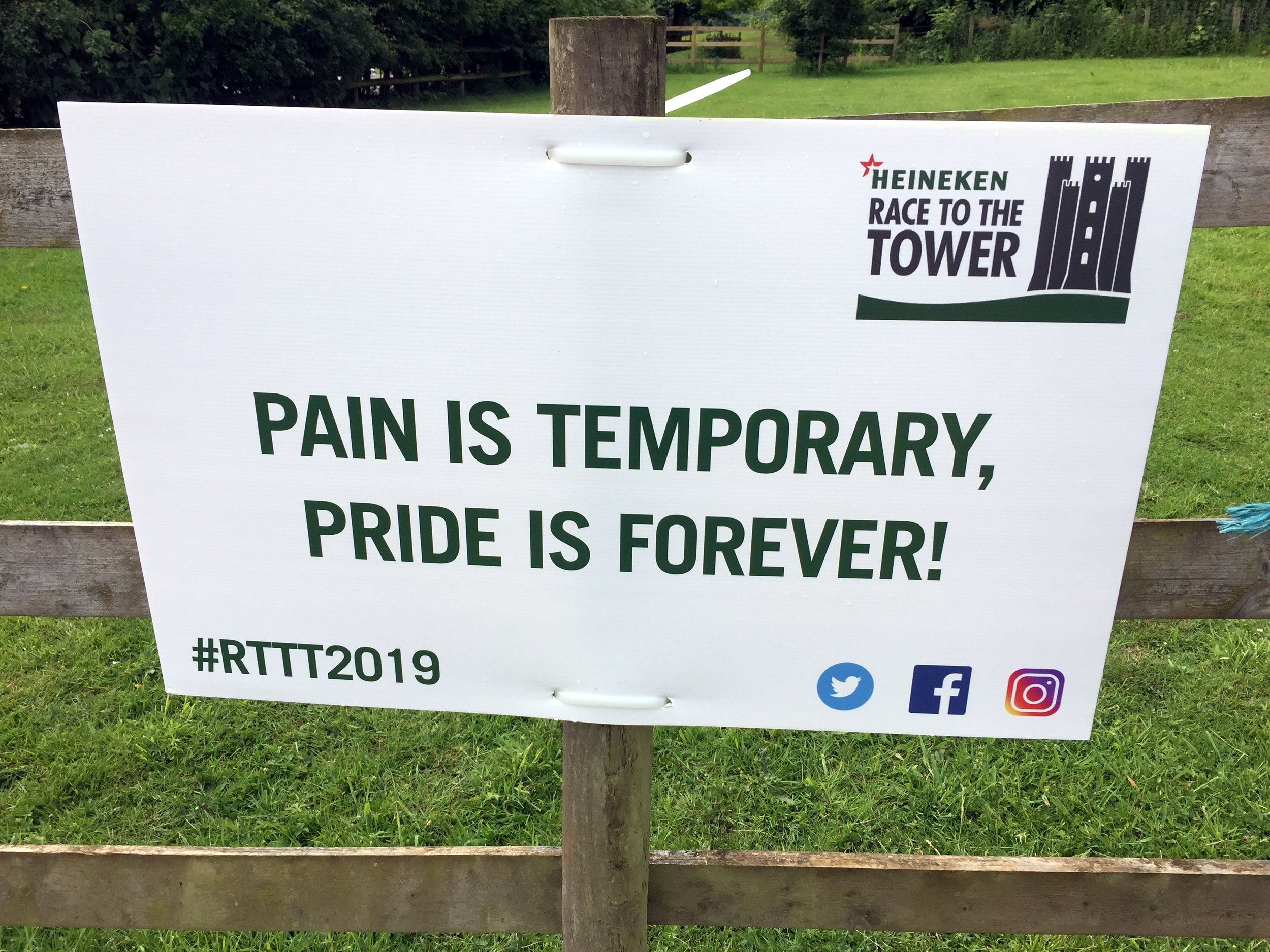
I wasn’t really up for this one. On previous Ultras I’d been mentally in top form, over excited and raring to go. I’d done my usual zero training, so no change there. What was different this time was that I also didn’t feel that I’d got enough rest or nutrition. Those were both my “keys to success” and I’d done neither. The problem was that Tower is renowned as being the toughest of the Race To The series.

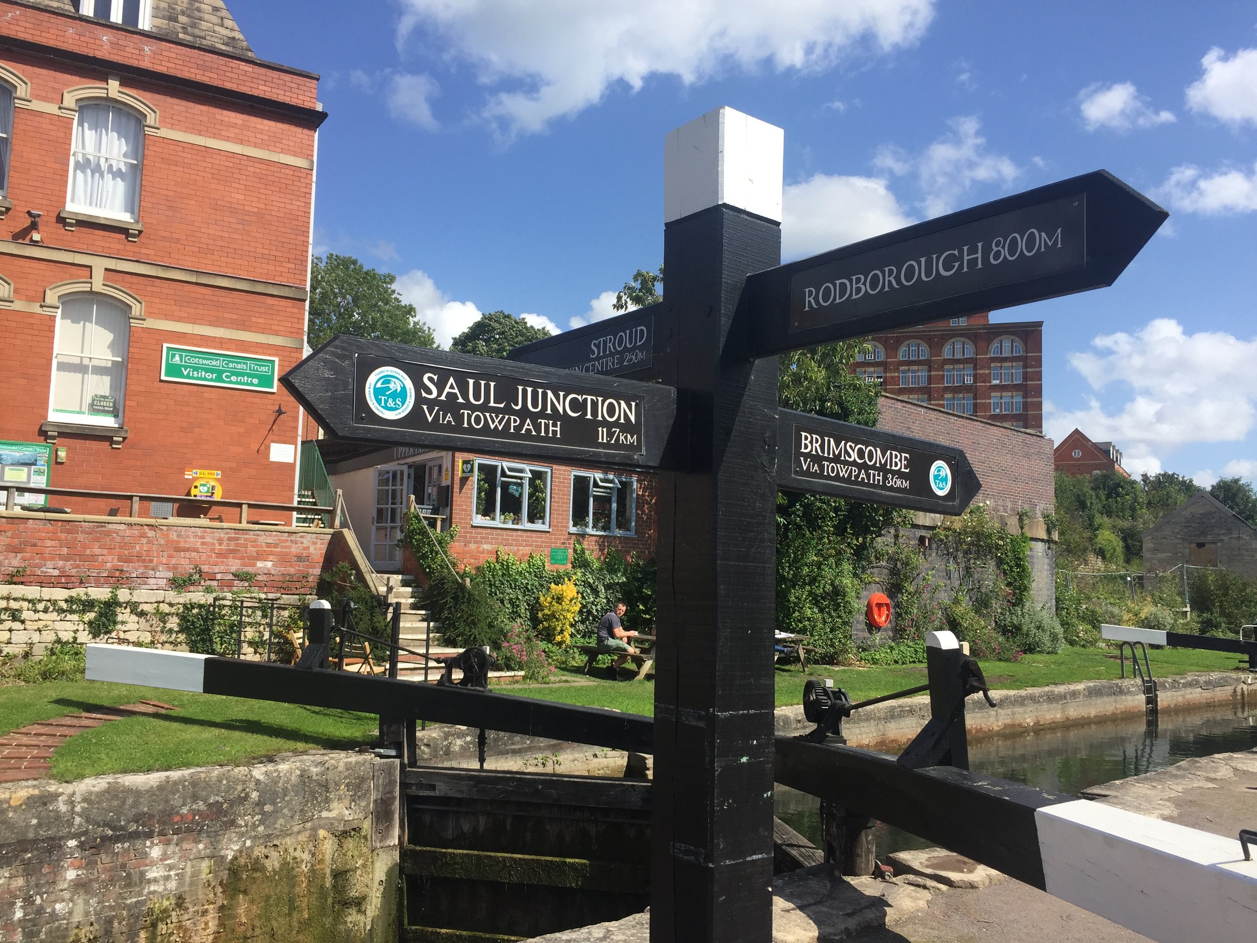
Race To The Tower is 10 miles shorter than the Race to the Stones but it's significantly hillier. I got a reminder of this as my train pulled into Stroud through a steep valley. It was raining too. Booking a hotel right next to the train station was too tempting. I could just get on the first train back in the morning and not worry about it.

The thing is: that’s not me. I love Ultras and I never give up. It was still drizzling in the morning, but I woke up with my normal sense of puppy-like excitement. This would be an awesome day.

It was.

In the taxi ride to the start line I remembered my first Ultra. Back then I had absolutely no idea whether I could go that distance. It didn’t help that everyone I spoke to was on their 5th or more Ultra. The biggest tip that one of them told me that day was to run your own race. Don't change your plan on the day just because you’ve heard that someone else does it differently. Don’t worry about how fast, slow or gracefully other people are running. Just do your thing. I’ve always remembered that and it always works.

I was feeling good that I was now one of those that had done 5 Ultras. Then I met Gobi Man. Not only was this one of a long chain of Ultras, he’d also done several multi-day runs abroad. He’d done Marathon de Sables, a Peruvian Amazon Rain Forest Run and this race was just a warm up for a seven day Gobi race. I made a note of the company that runs these events (don’t tell my wife).

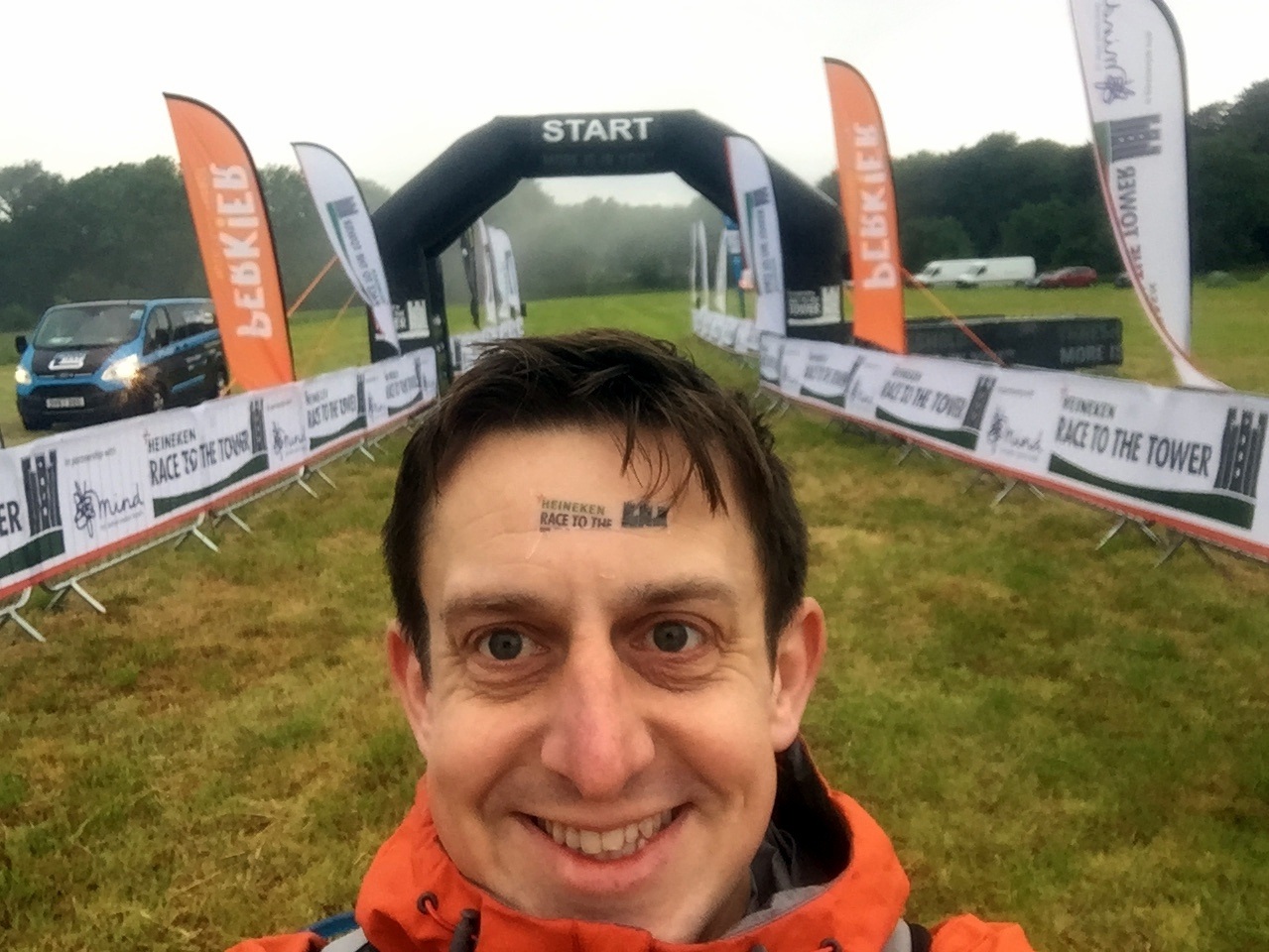
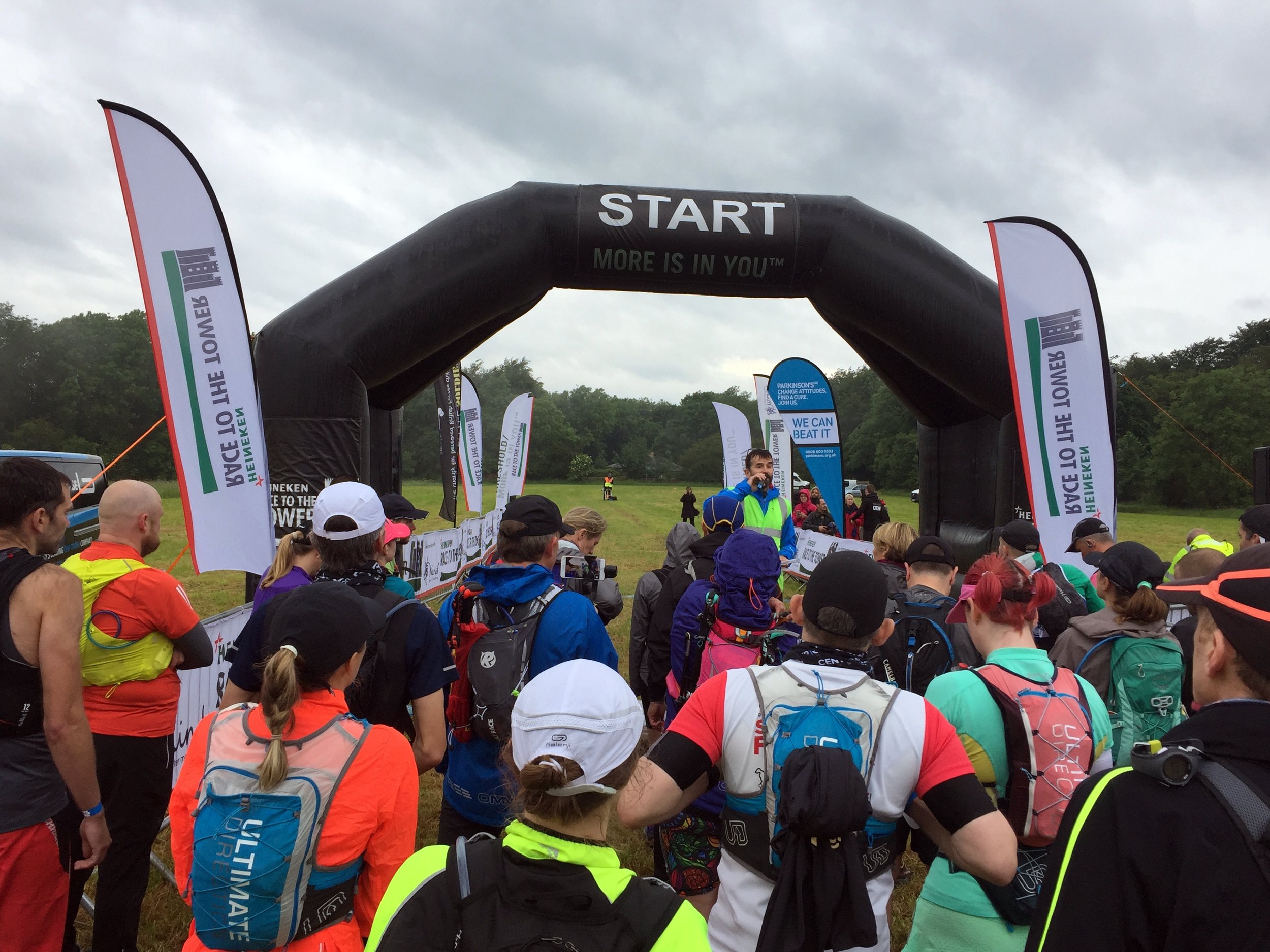
Suddenly it was race time and I snuck into an earlier wave to get off 10 minutes earlier. As usual I’d prepared a spreadsheet with detailed minutes-per-mile and checkpoint locations. After a few years of over-optimistic planning I’d refined my pace and stuck to 12 minute miles for the first half-marathon distance. After that I would drop a minute per mile every 10 miles.

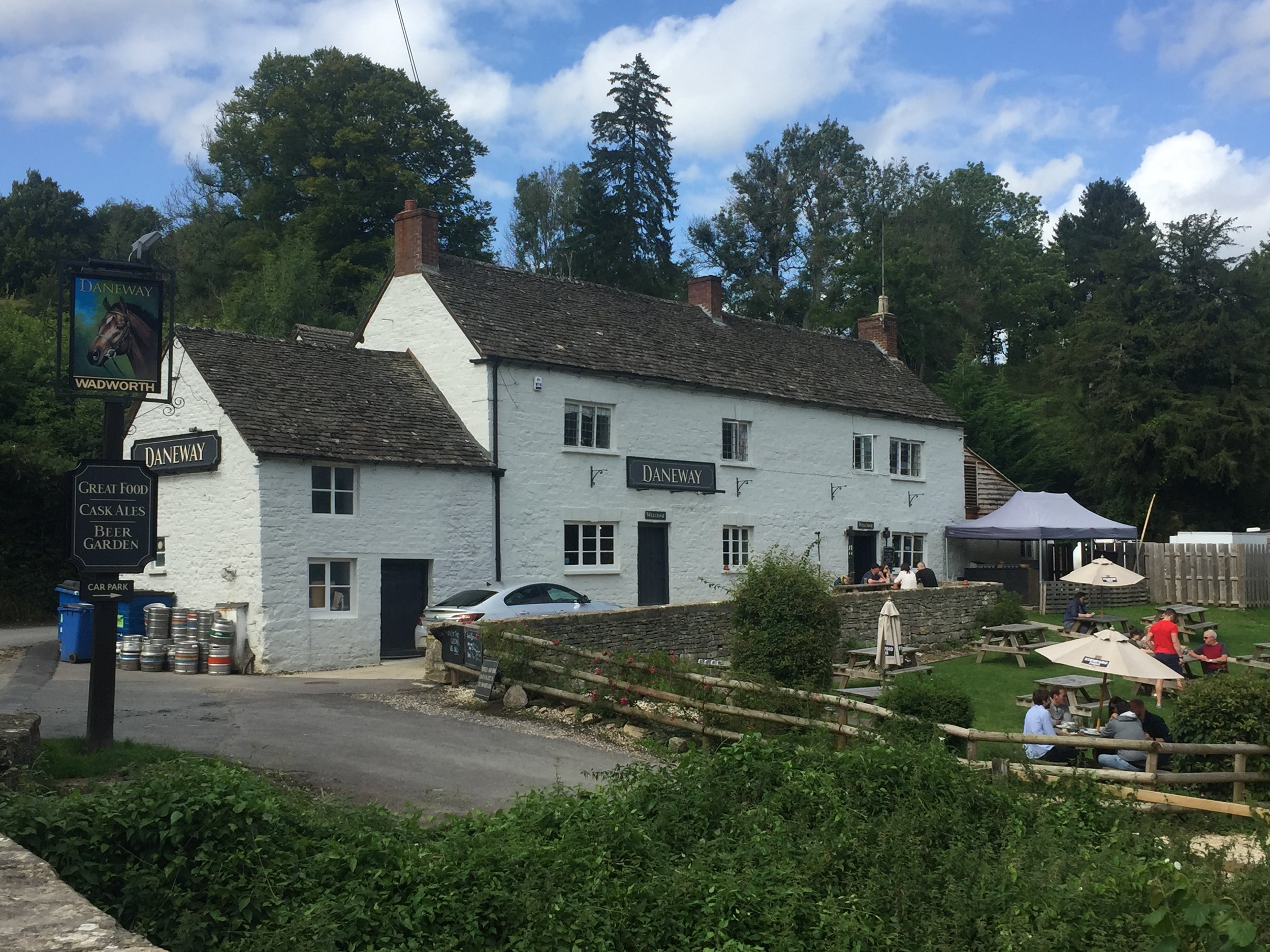
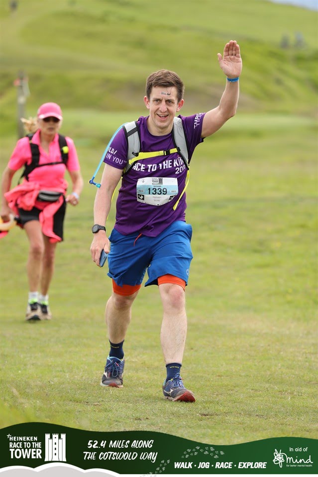
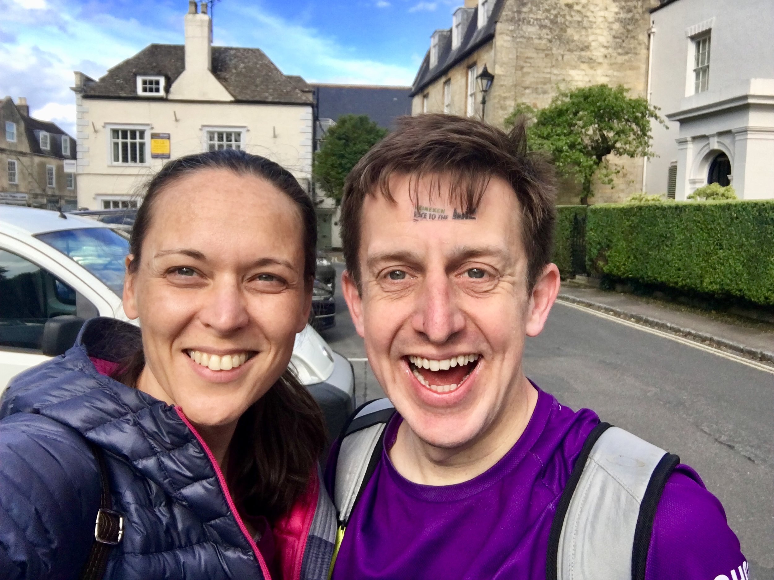
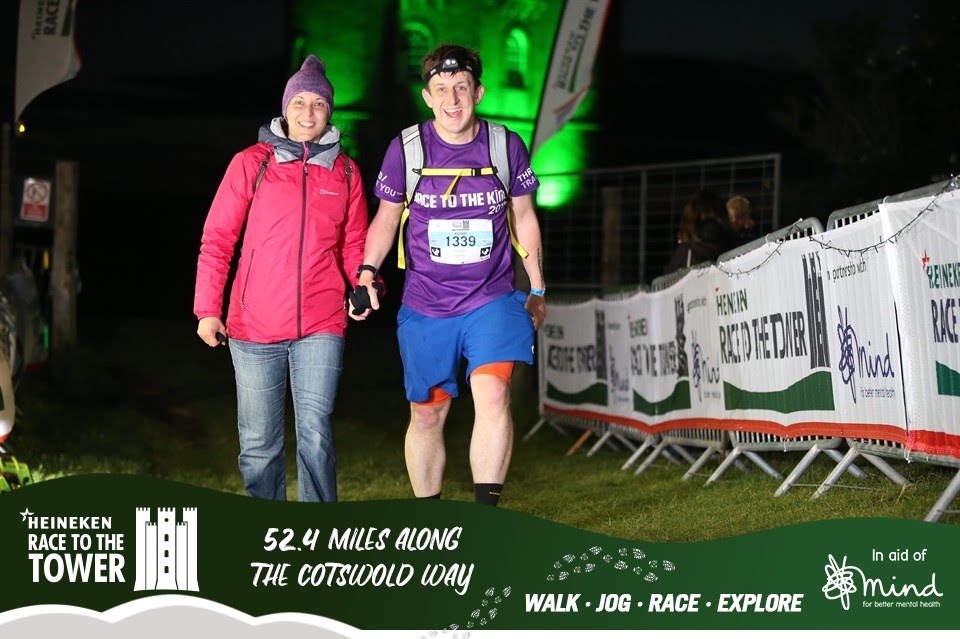
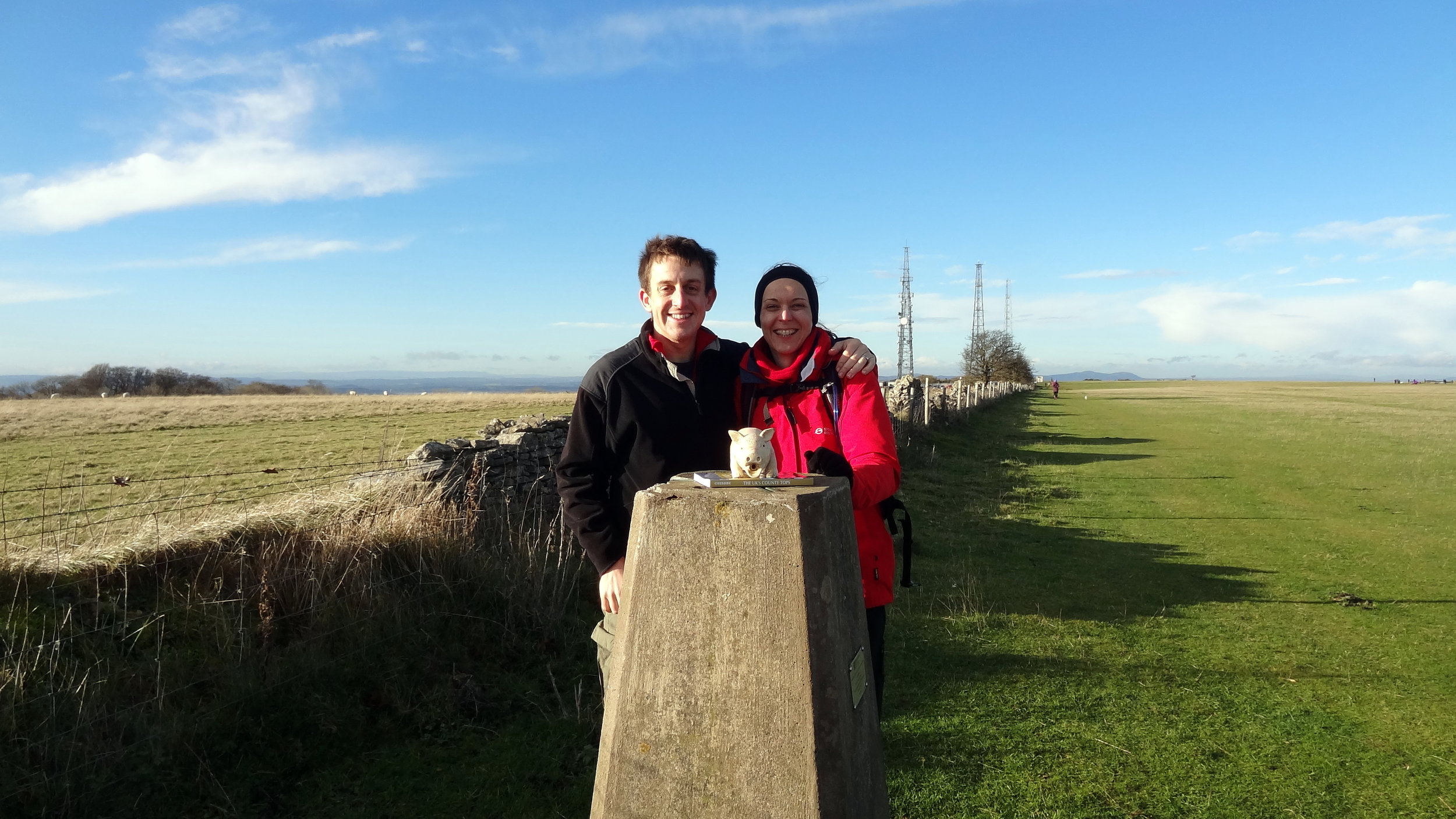
As with previous Ultras, Timi (the wife) and my mum were my Support Crew. They drove to the Cotswolds late morning to meet me half-way. By then I was already an hour ahead of plan so we met further along the route. By then the damp start and a few misjudged puddles had soaked my trainers so my feet needed some attention. As much as Timi complains about the madness of the big runs, she does an outstanding job of patching me up and feeding me. It’s always a massive motivation to see both of them in the tough final stages.

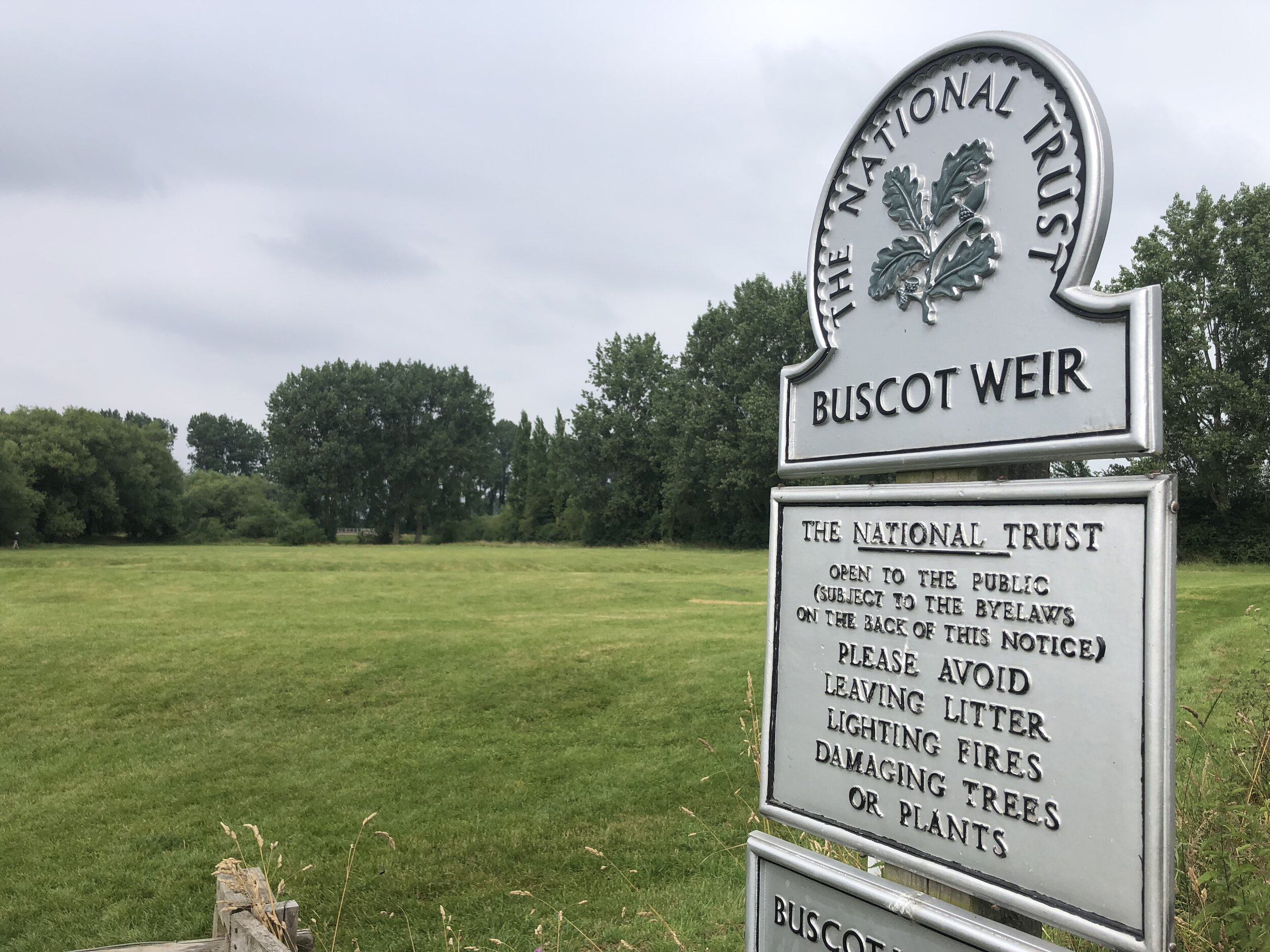
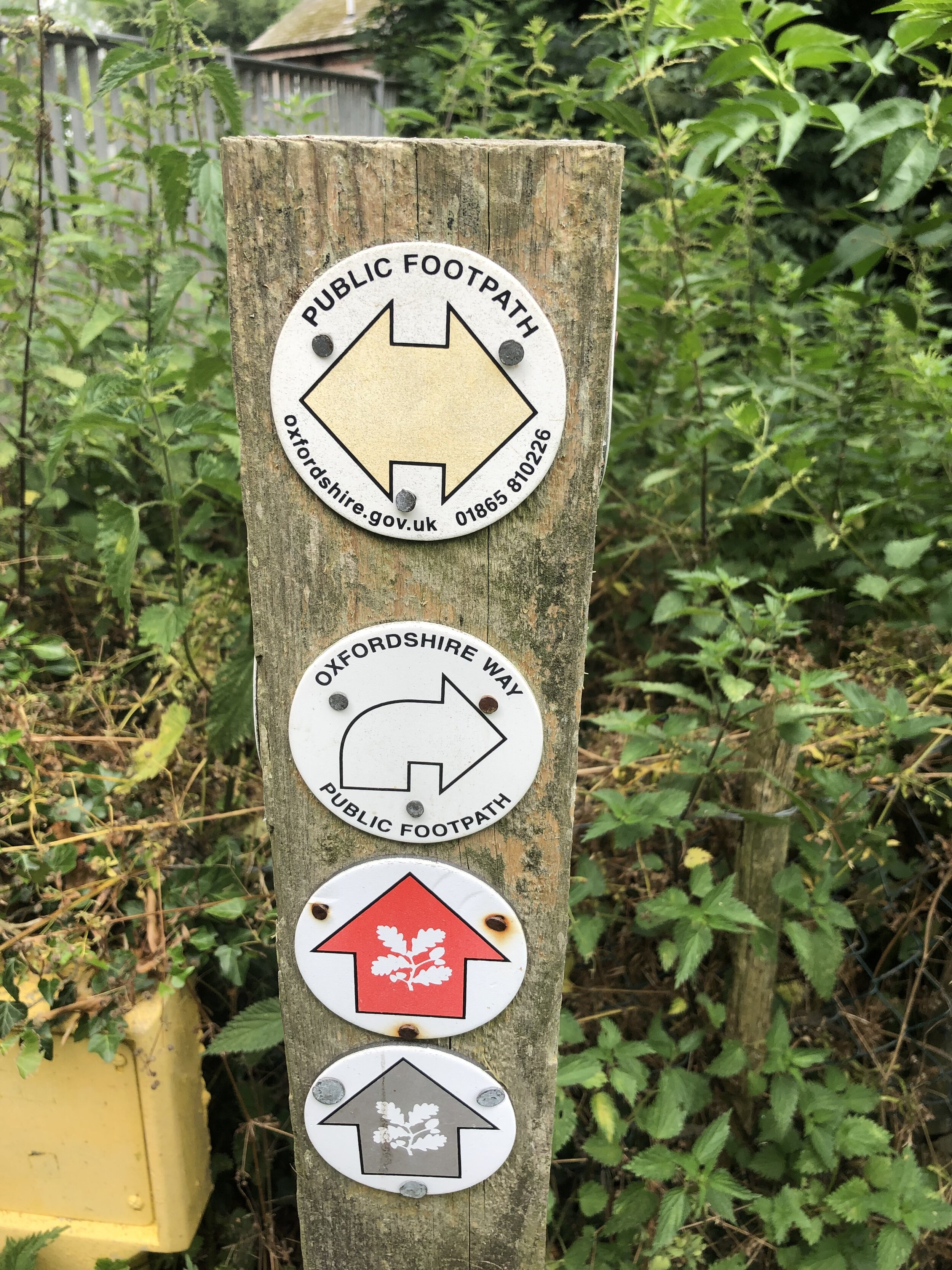
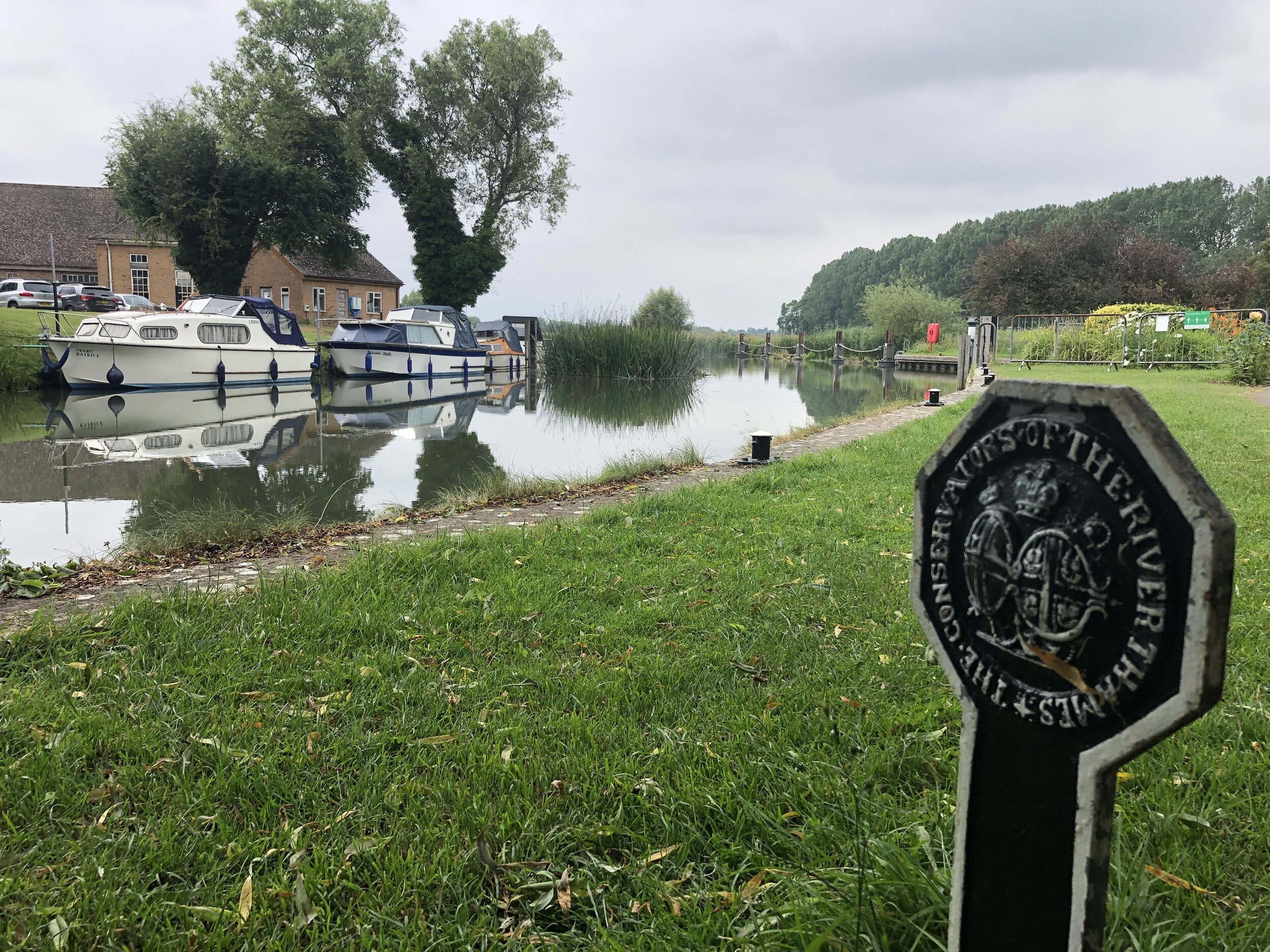
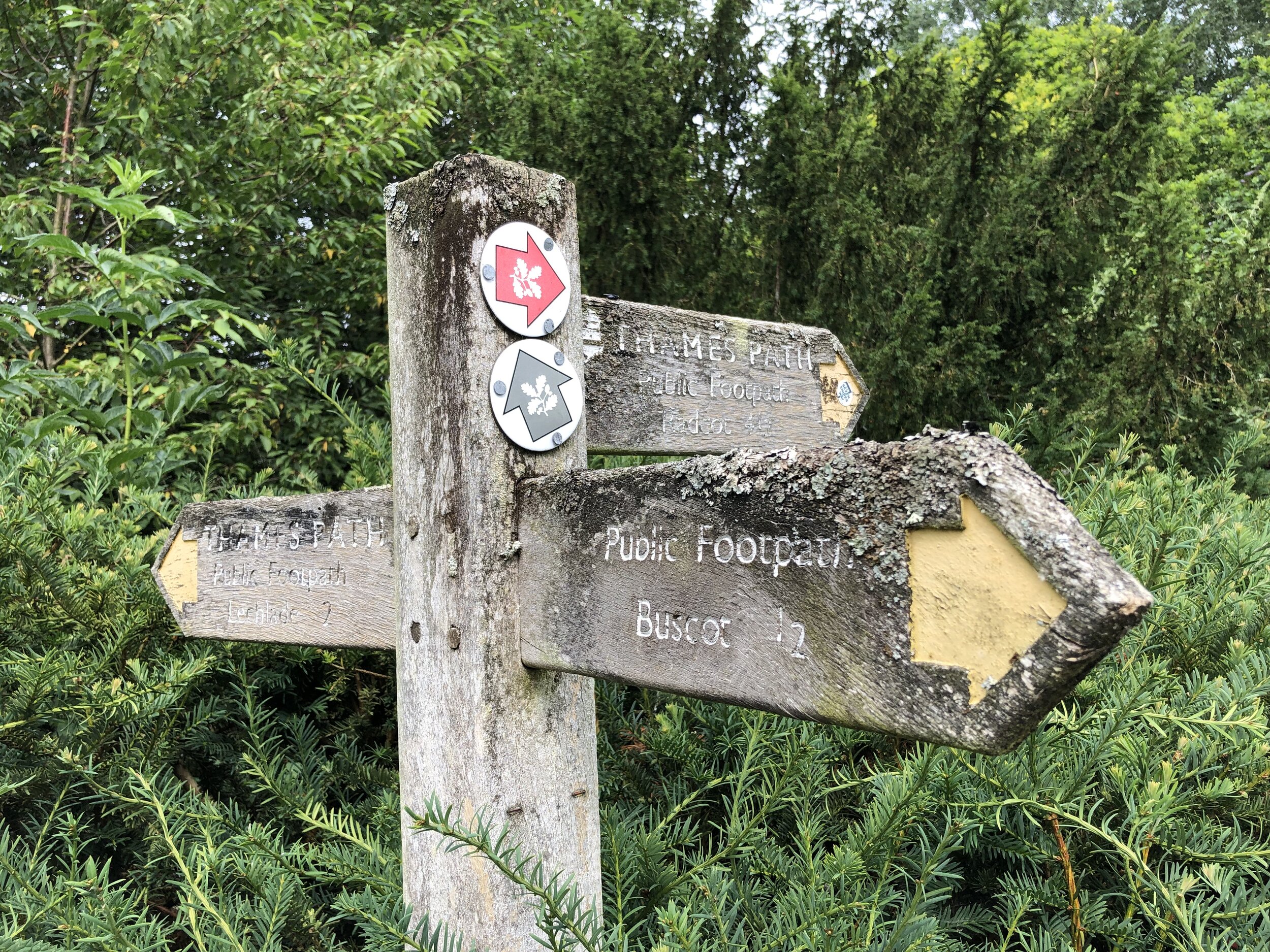
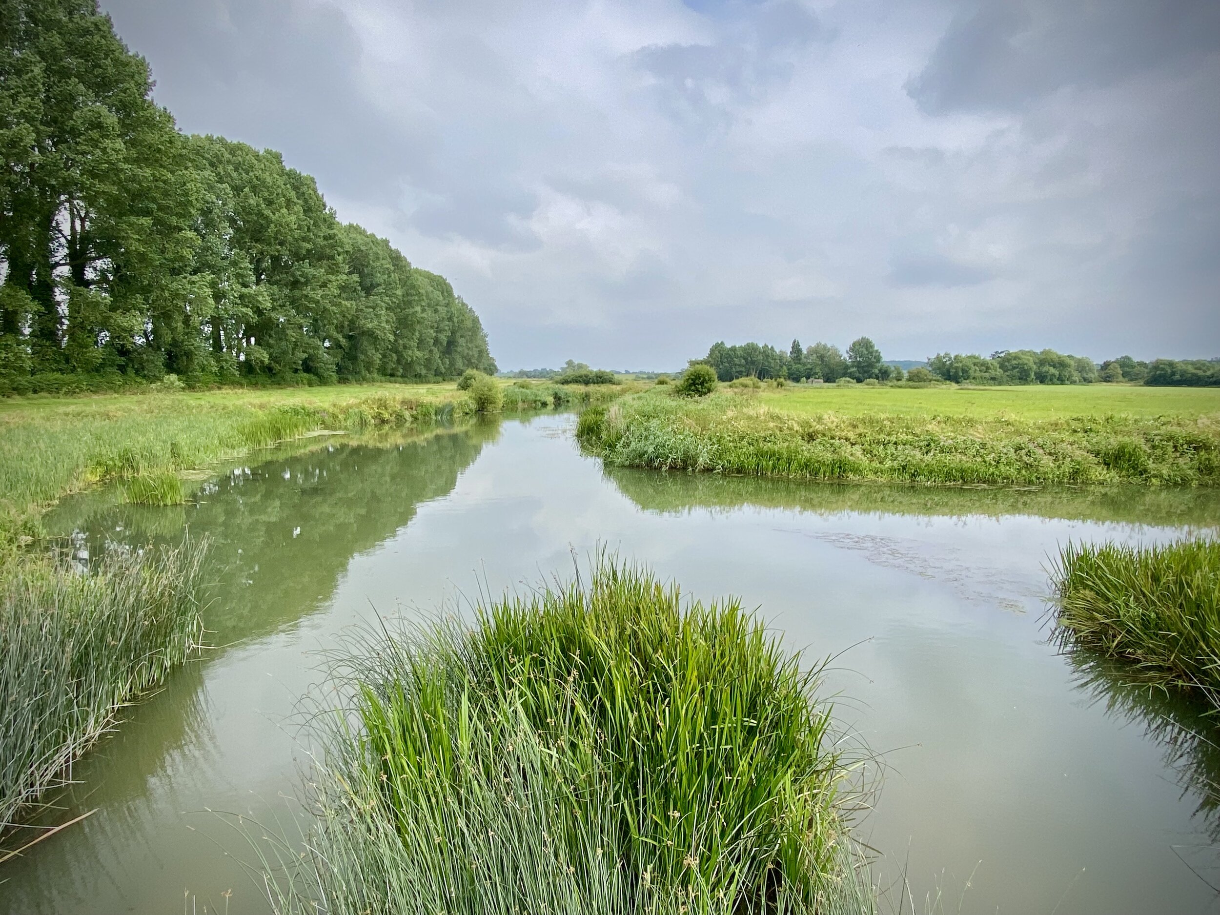
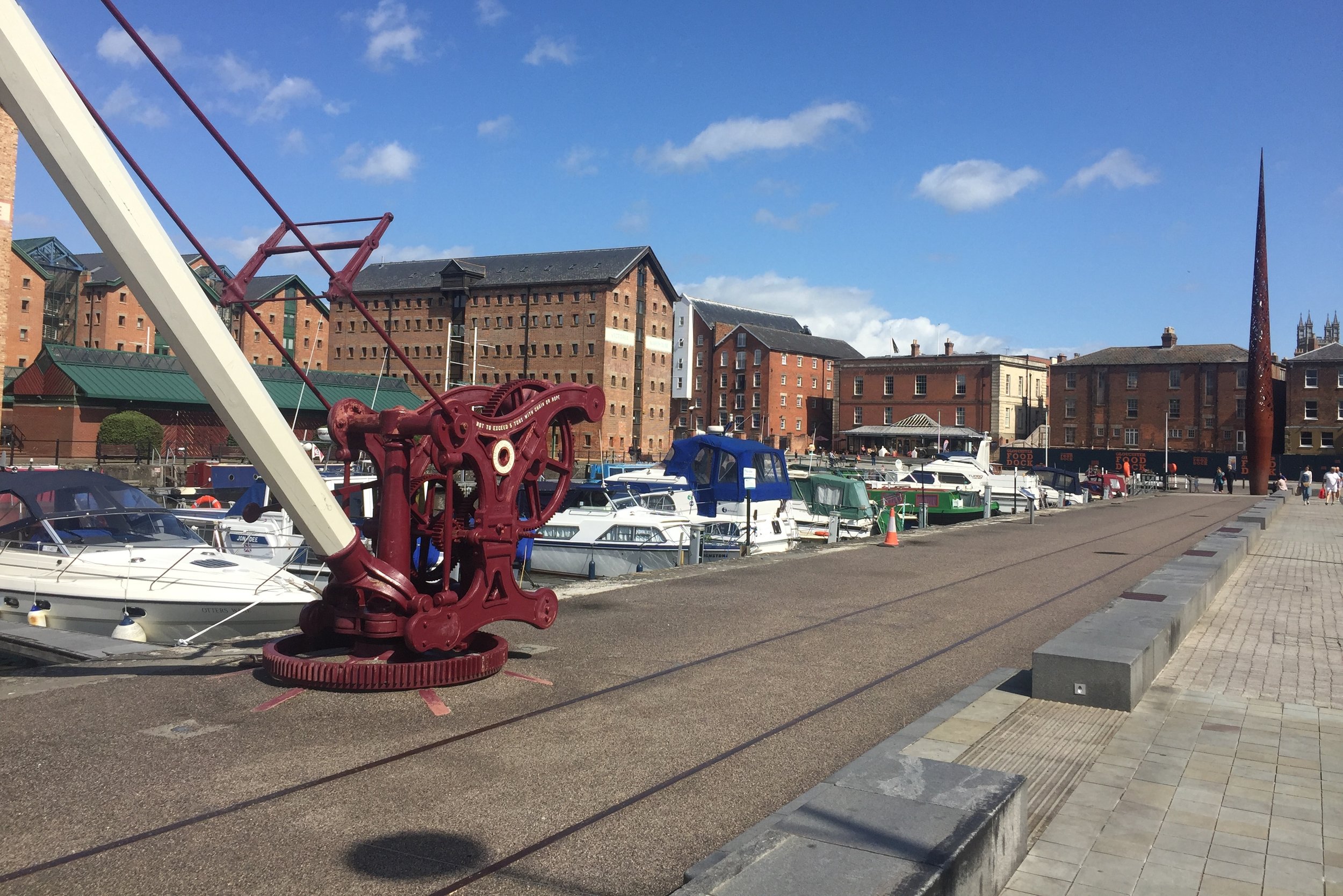
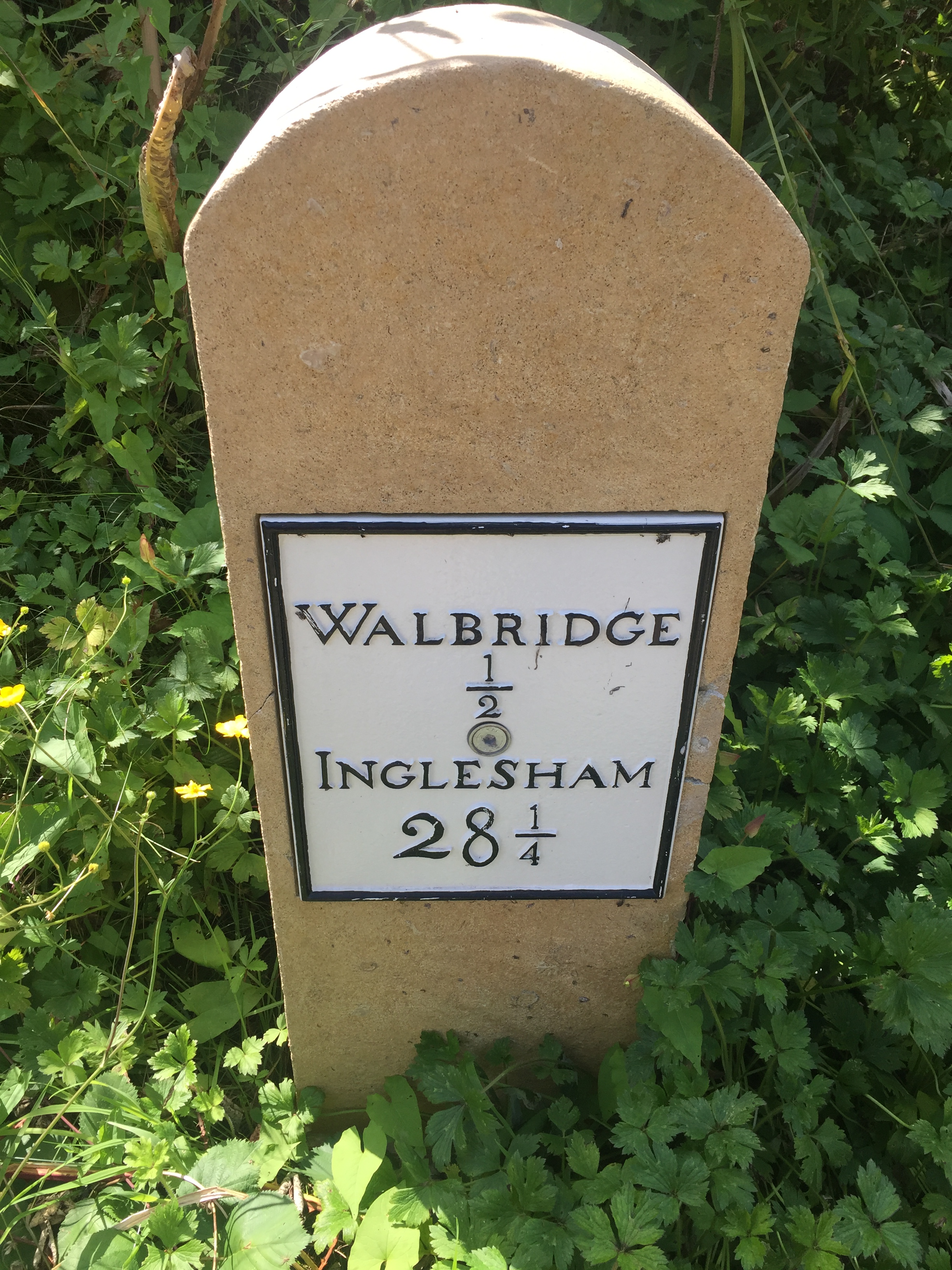
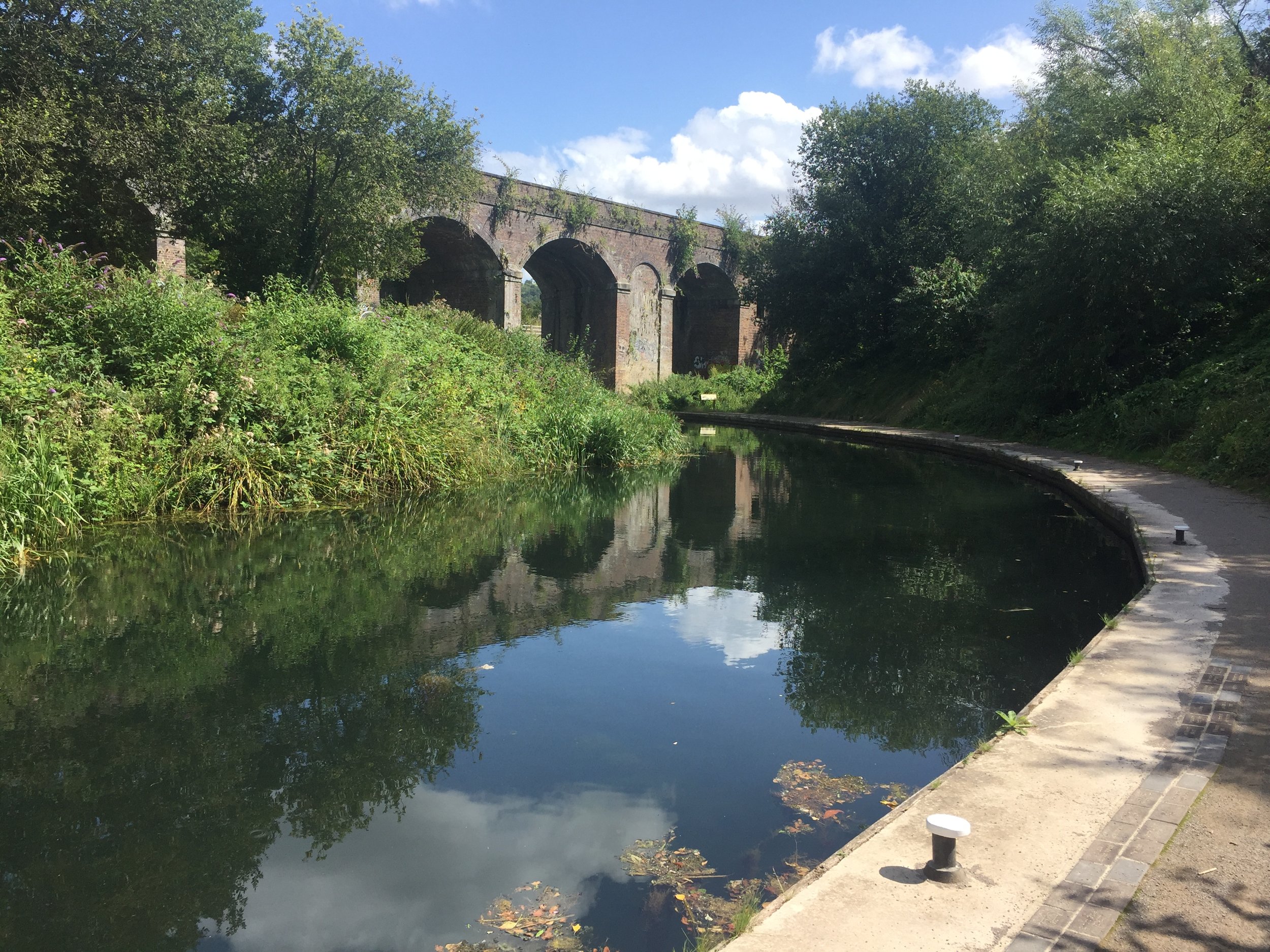
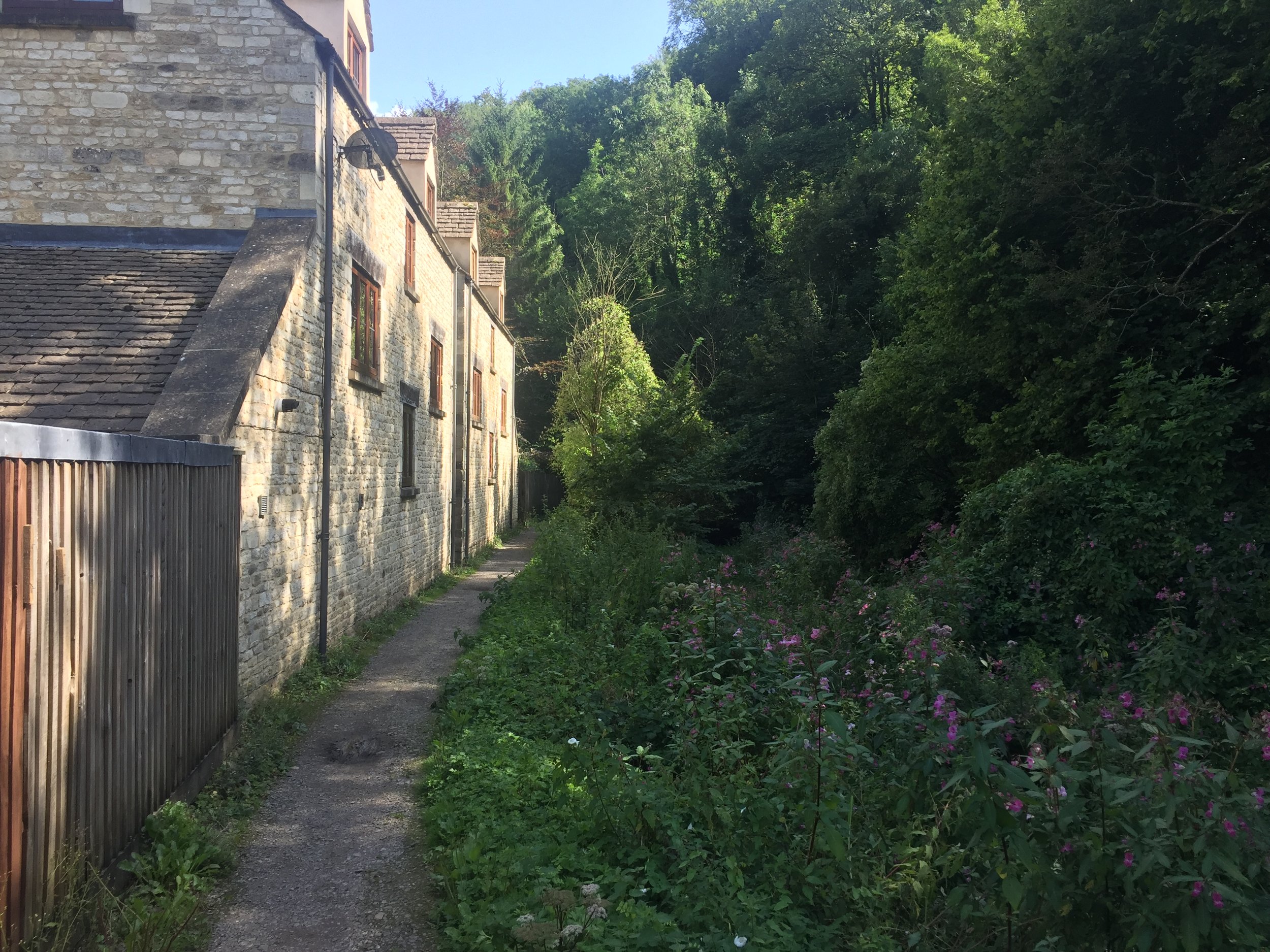
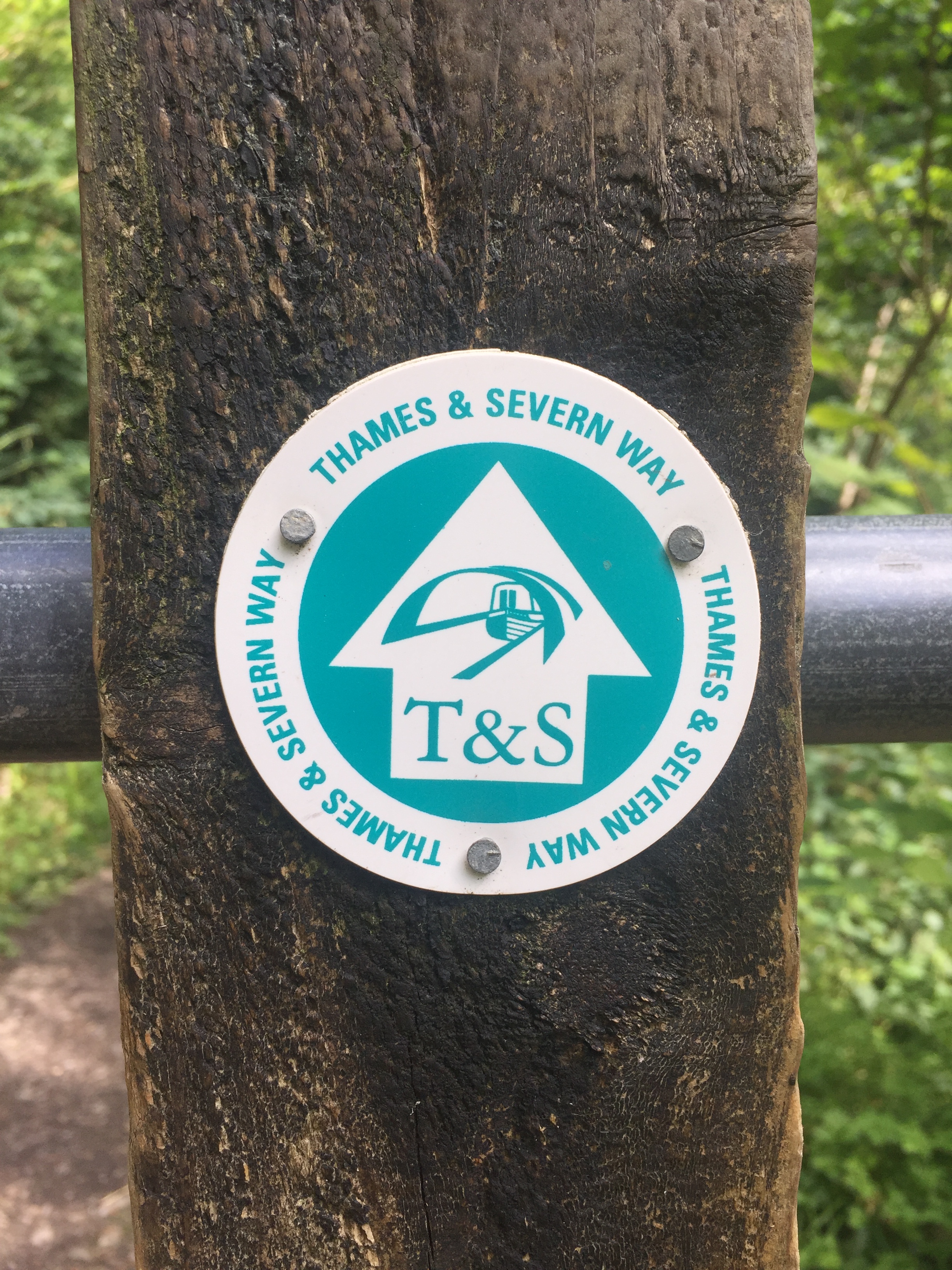
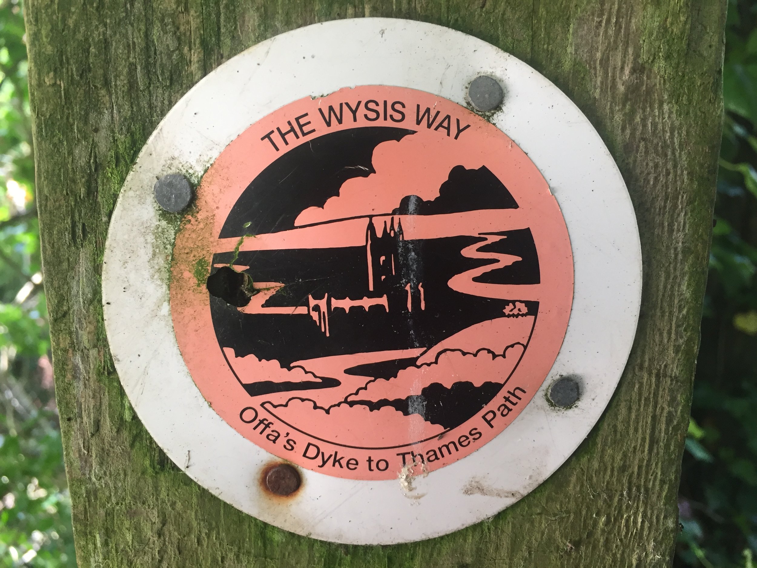
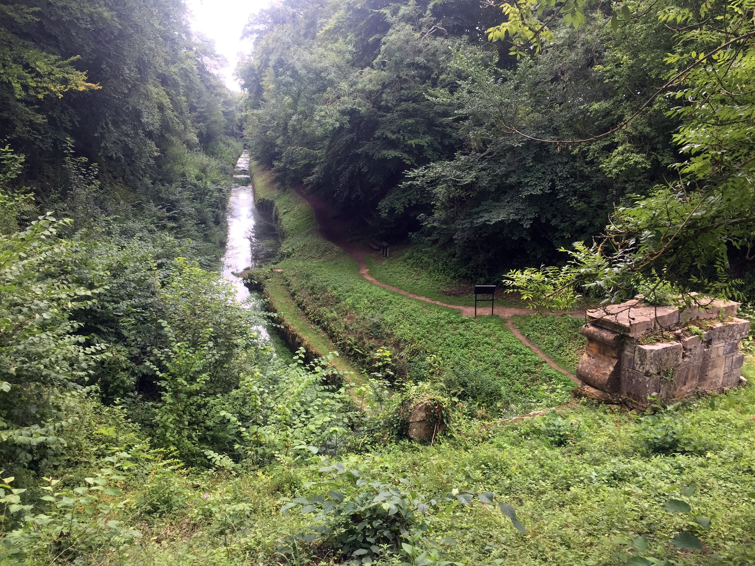
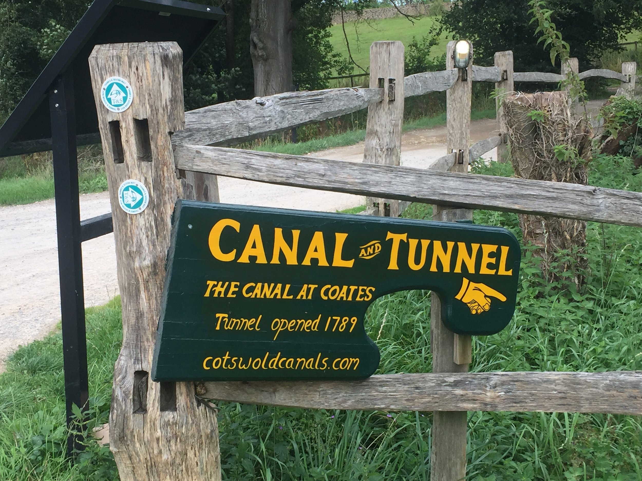
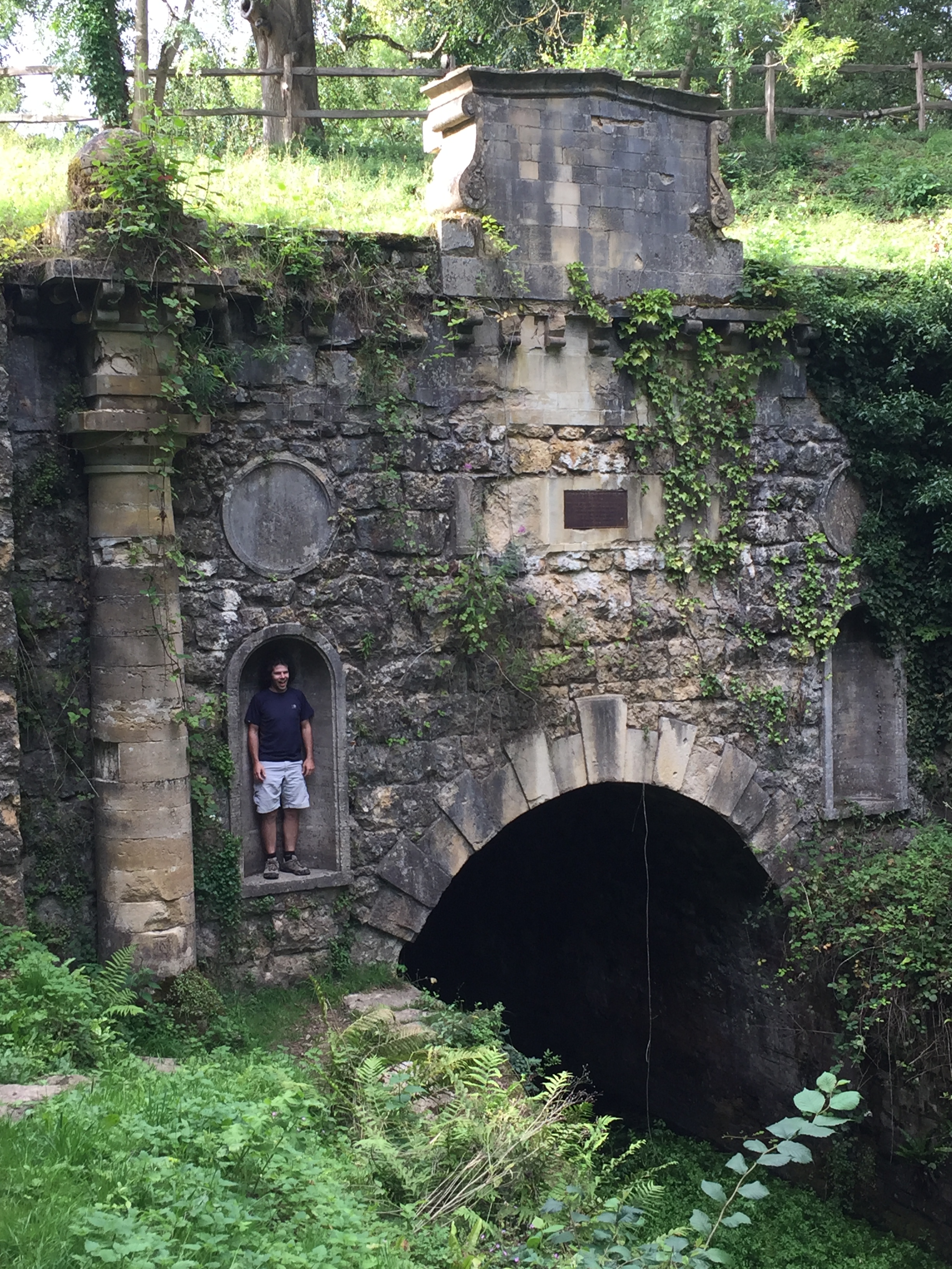
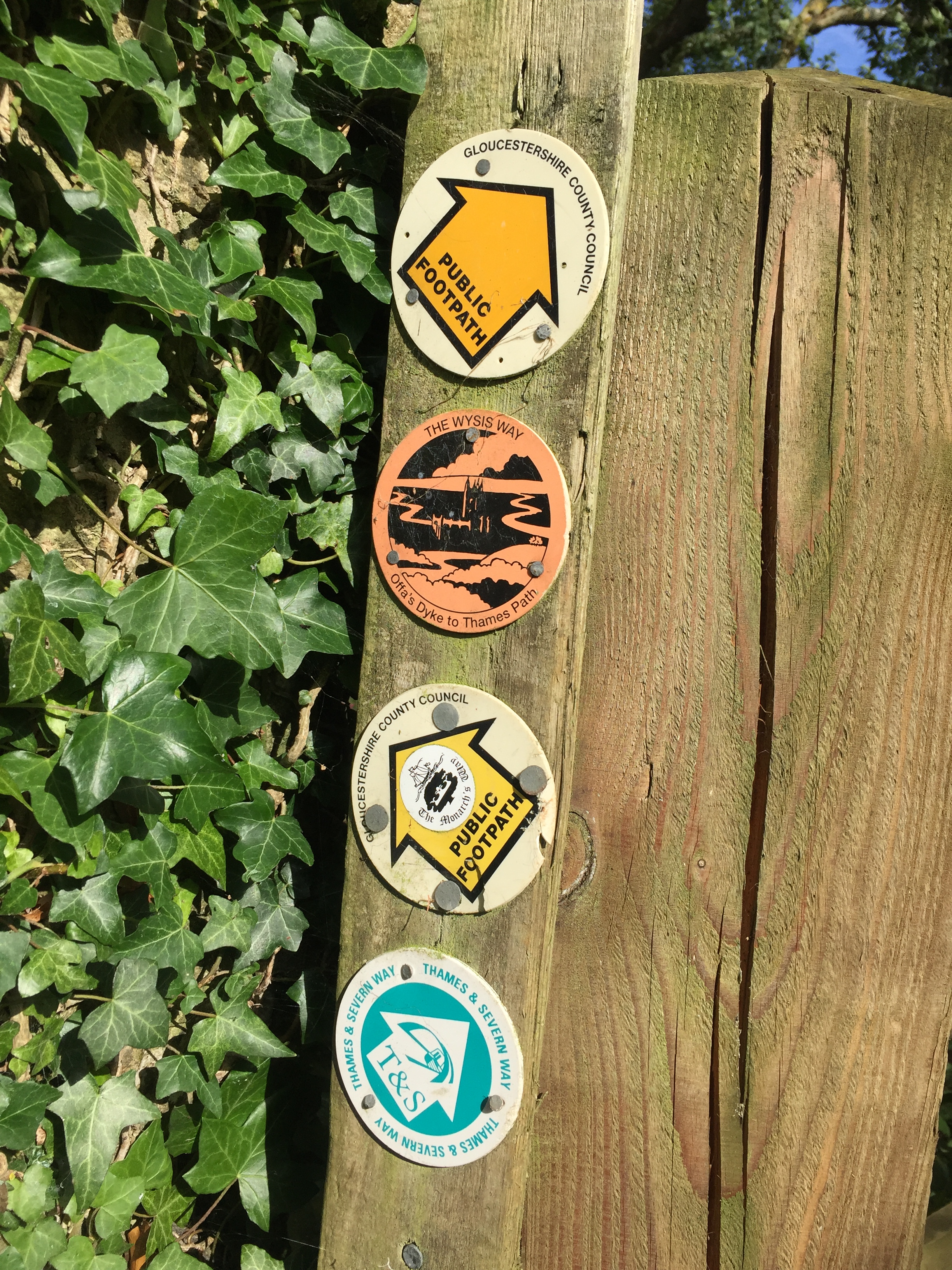
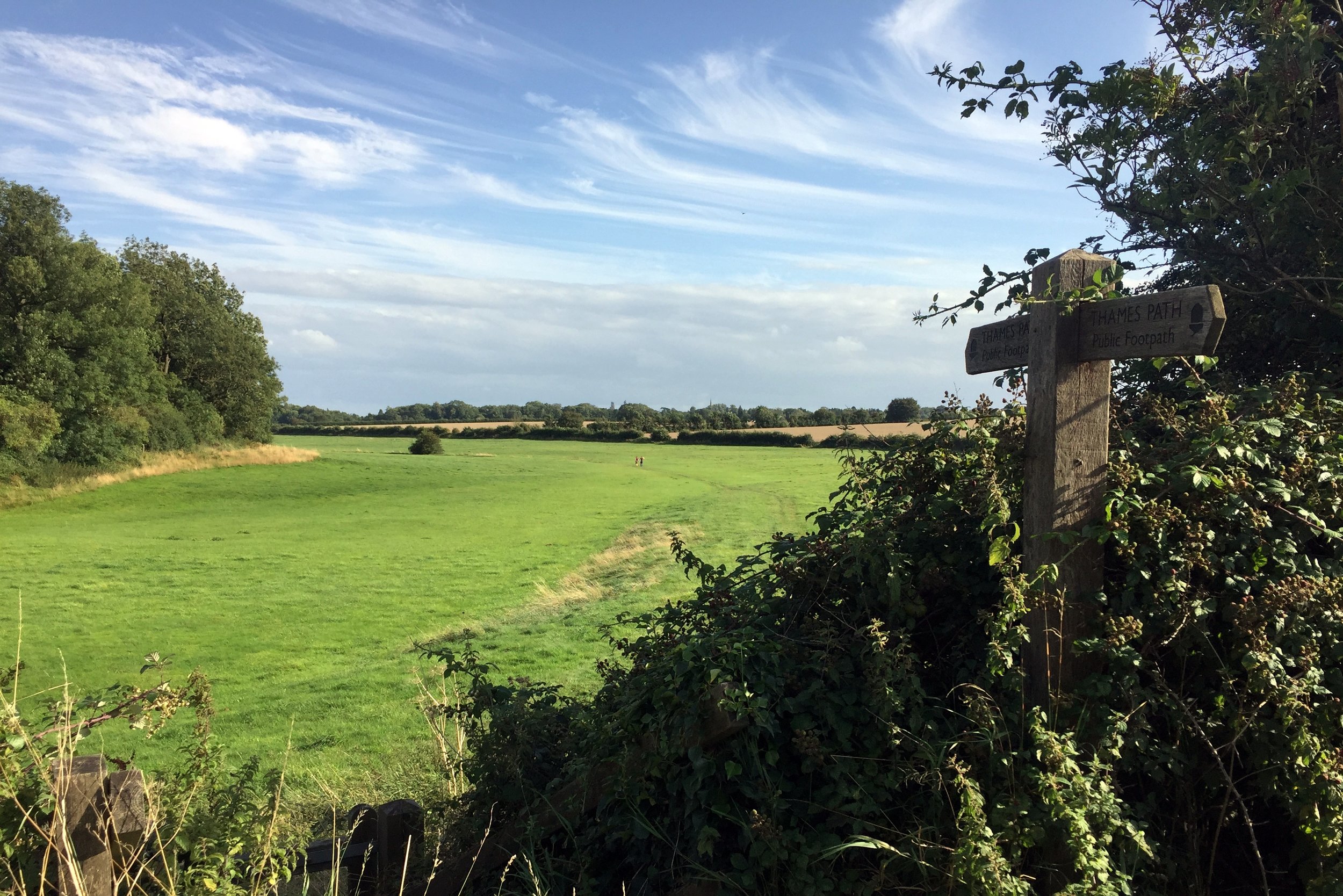
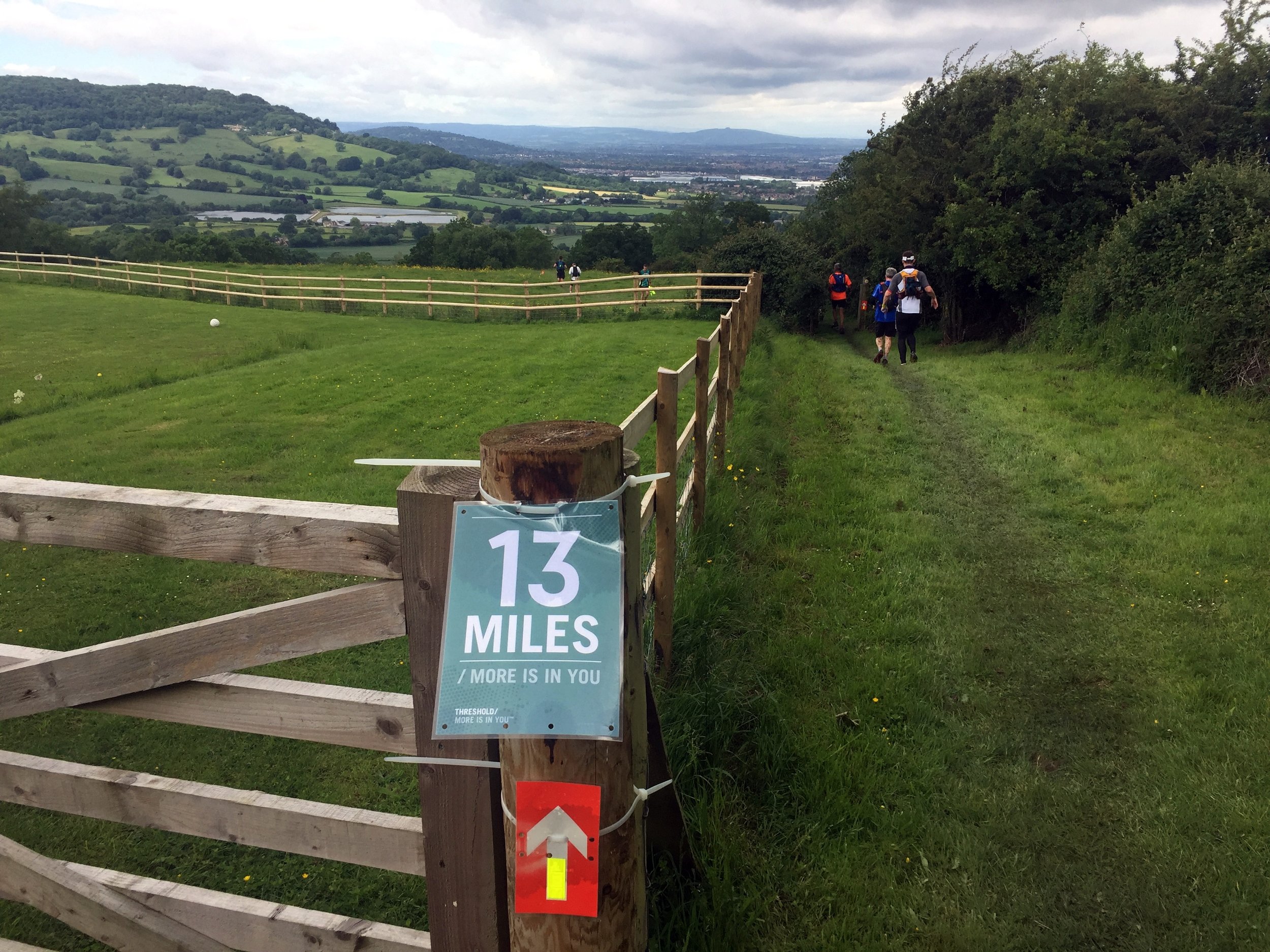
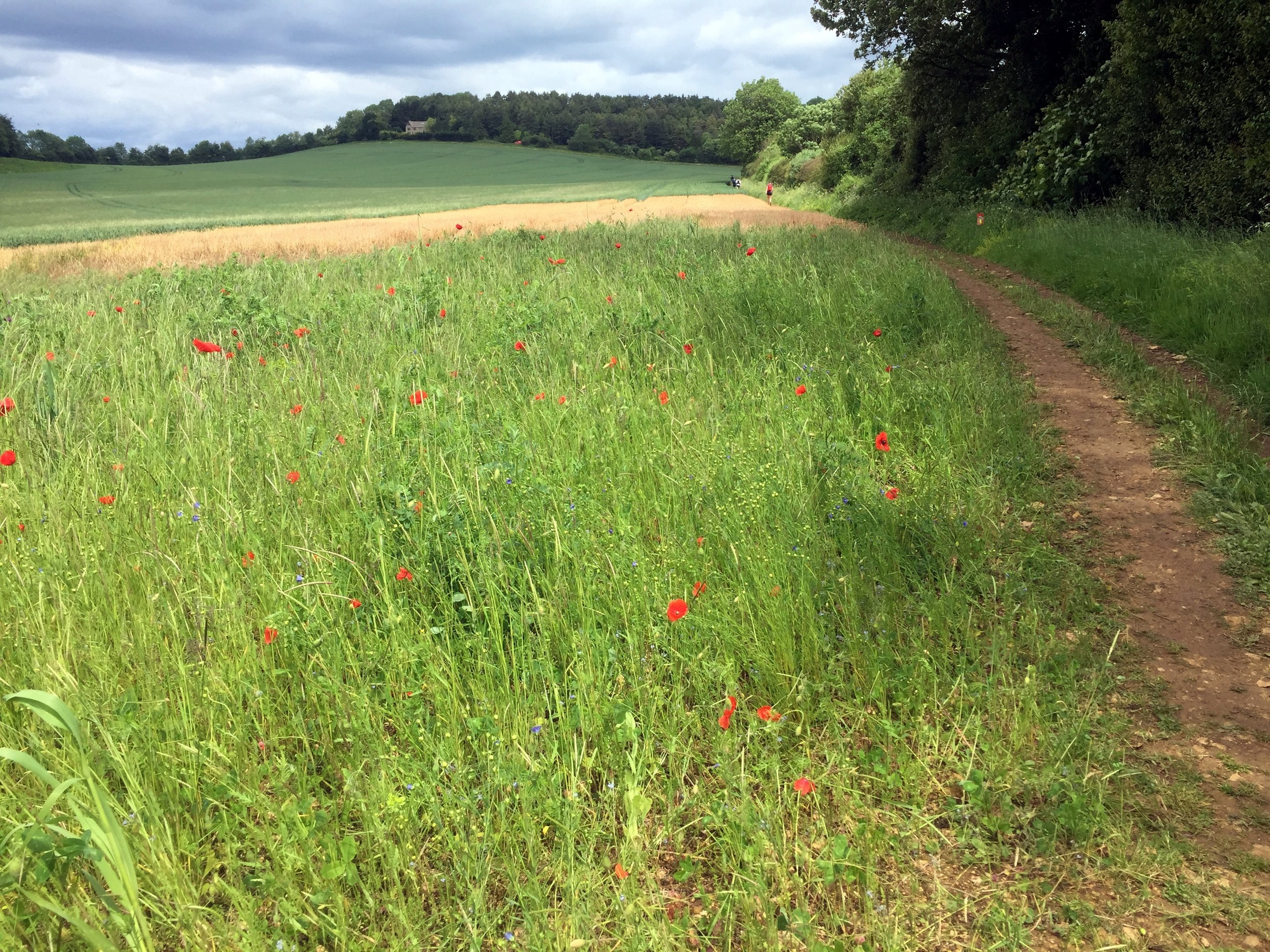
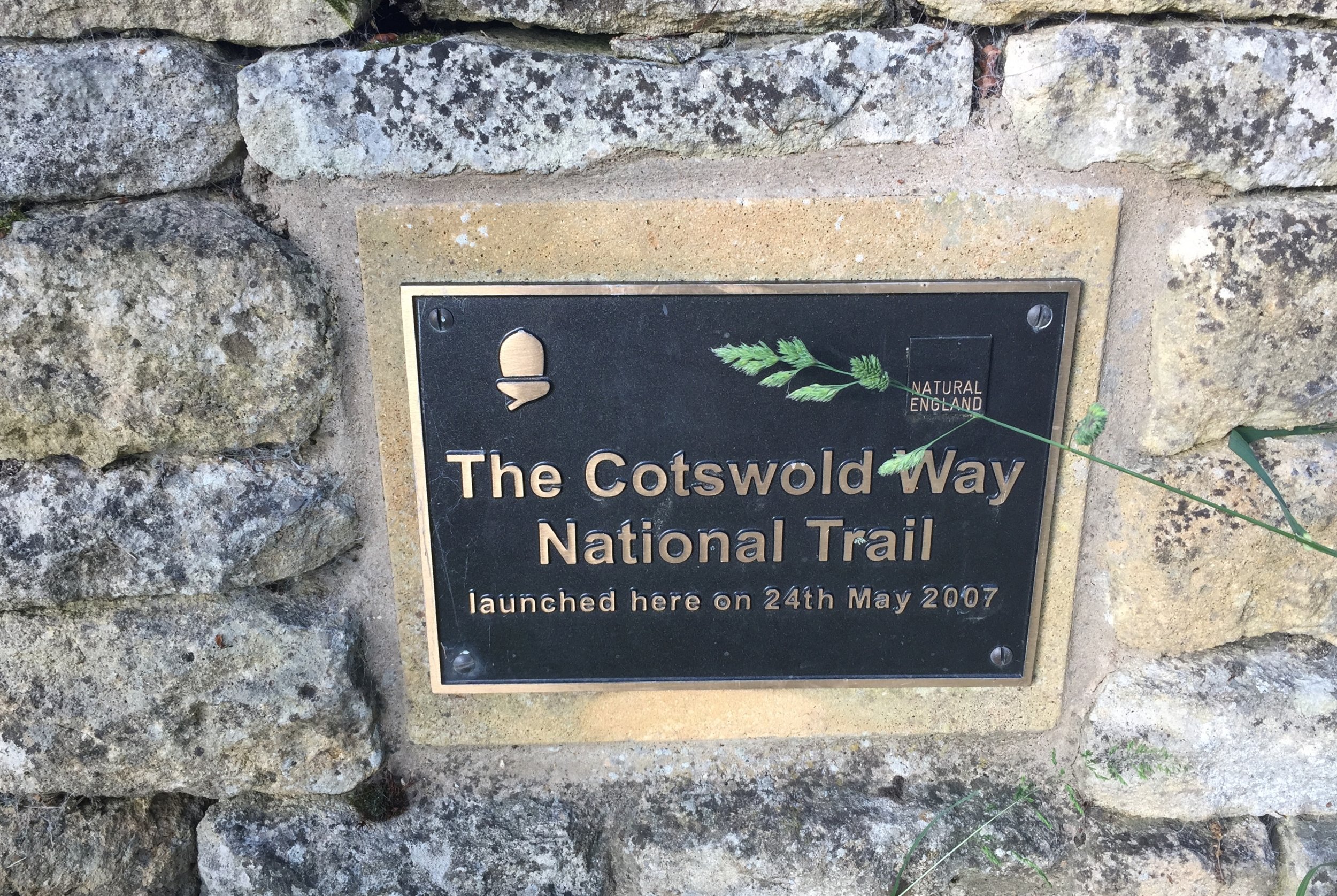
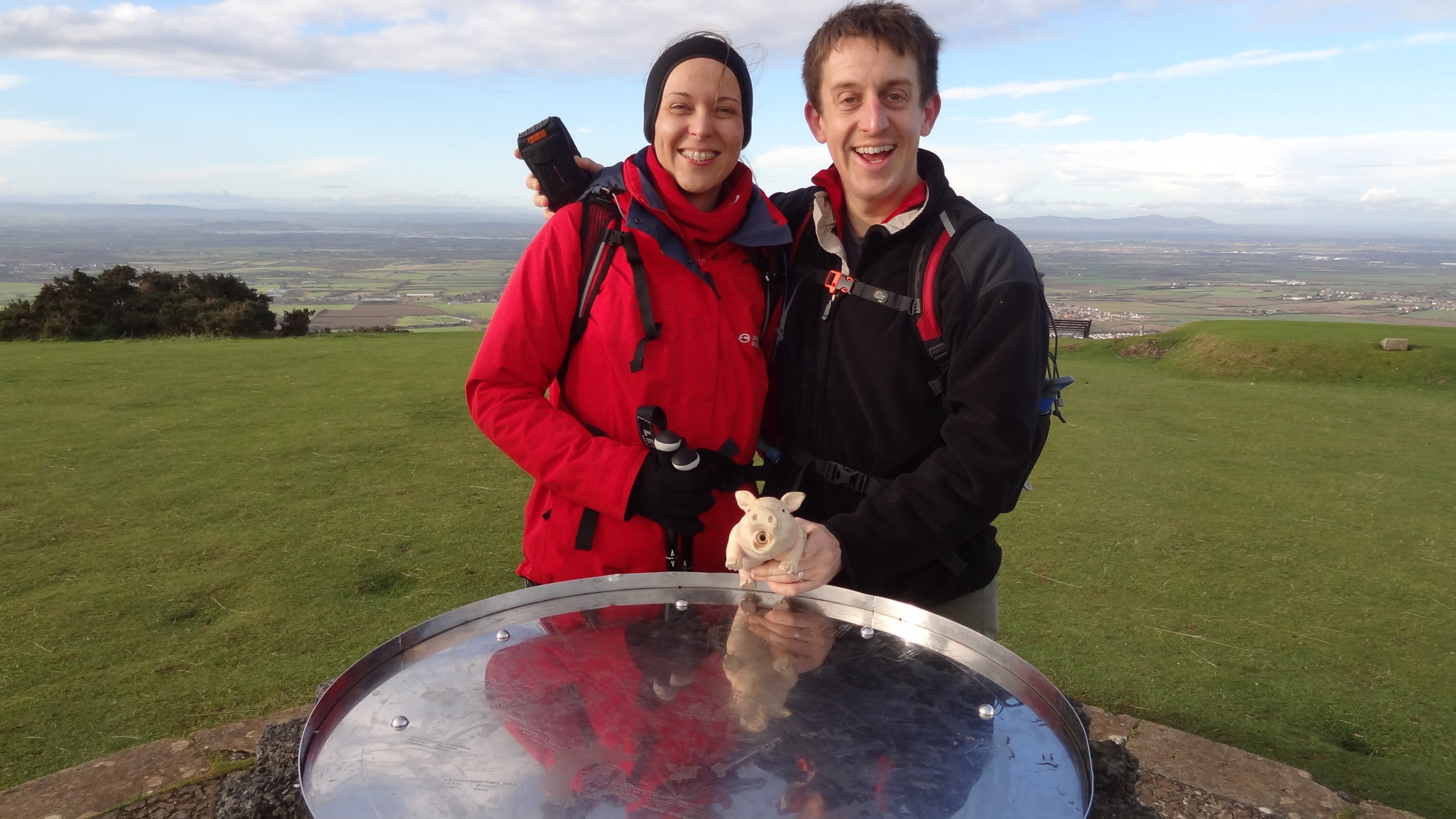
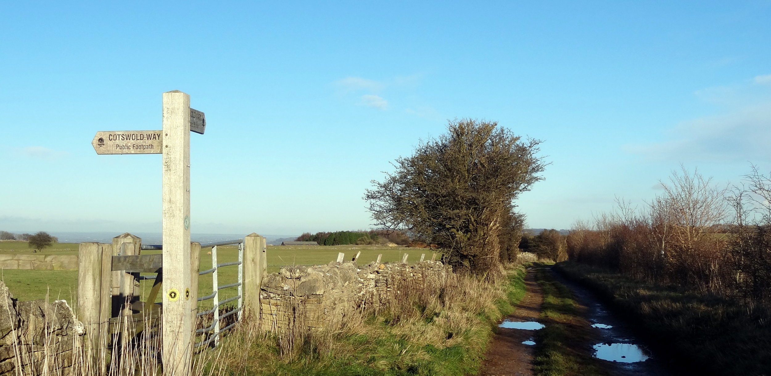
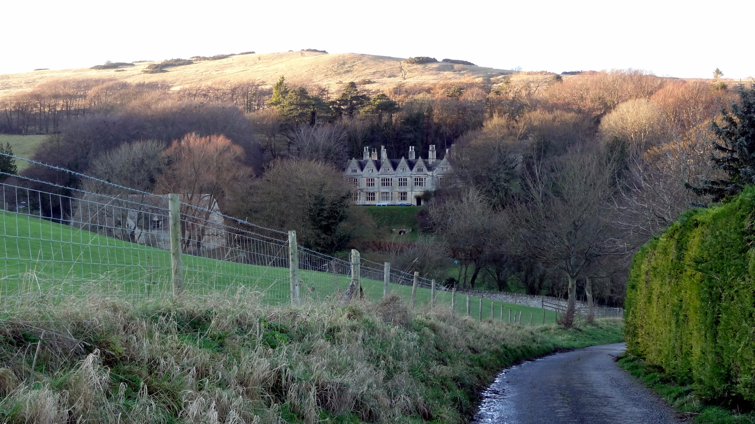
The Cotswolds Way is stunning. Ultras tend to be in interesting areas but this was exceptionally beautiful. I love the UK National Trails and an Ultra is a great way to fully experience them. The varying terrain keeps you focused and helps you to be fully present in the environment in a way that road running often can’t. I did listen to some podcasts along the way, but for the majority of the 15 hours out there I was in "The Zone", fully present in the race.

I was surprised to see Gobi Man when I overtook him at mile 40. He’d started in the Wave before me and I’d assumed that he’d already be a couple of hours ahead. It turned out that he’d taken a wrong junction and gone 2km in the wrong direction. After that he’d lost his mojo and was having a tougher race. I felt bad for him but it secretly made me feel good about my own efforts.

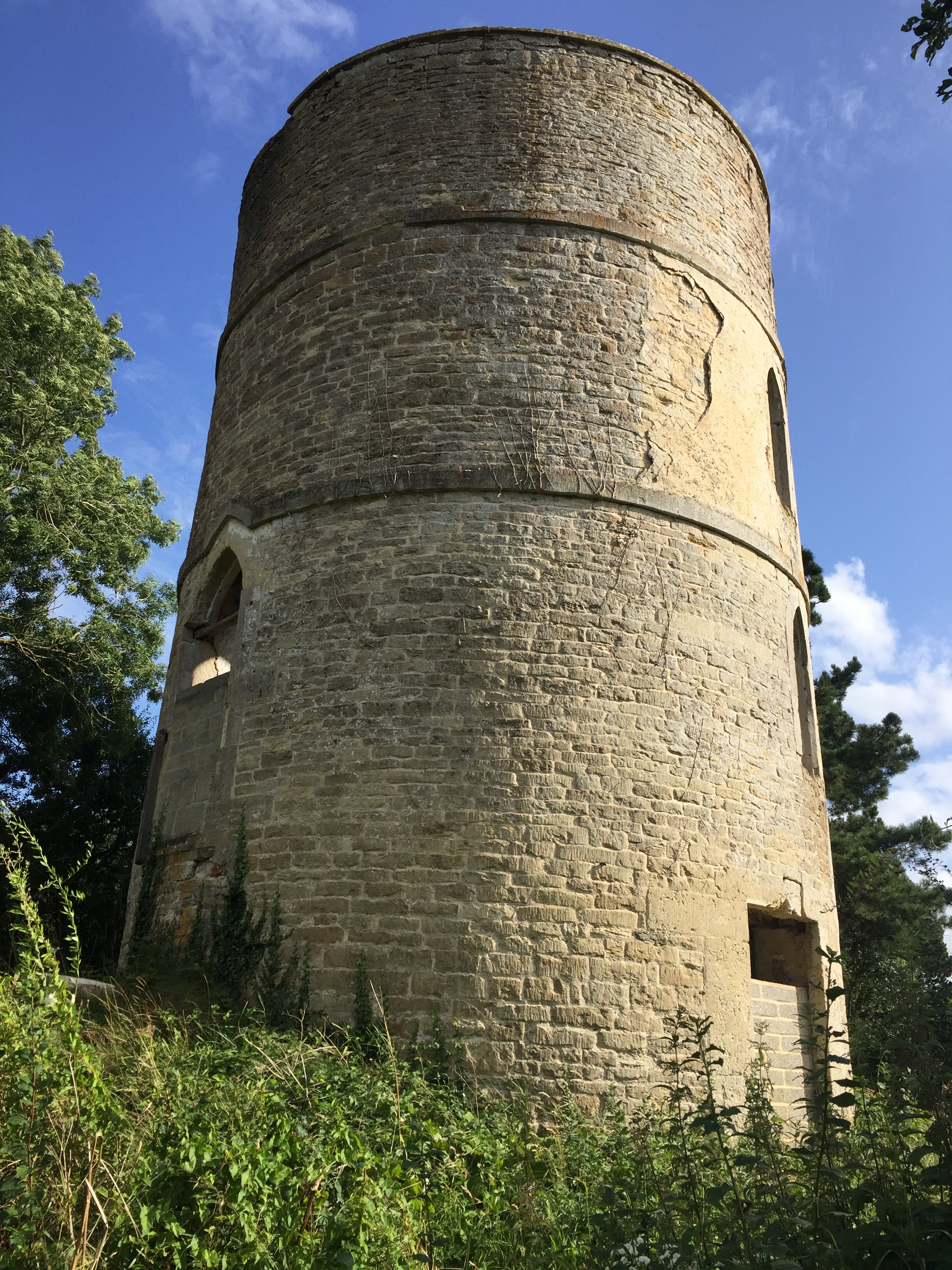
In stark contrast to the evening before I felt on top form throughout the race. Even the long lonely twilight stretches were fine. These are the bits that can wear you down. Runners are now well spaced-out and you can go for a long time without seeing anyone. The long flat section towards Broadway was actually a bit of a slog. I could see Broadway Tower in the far distance from about 8 miles out. It didn’t seem too far but the final part was a curve into the town so it didn’t get closer for a few miles.

By Broadway it was fully dark and running through the High Street was a highlight. It’s a pretty village in daylight and magical when lit up at night. It was a warm Summer evening and the outside dining areas were packed. The claps and cheers of encouragement were much needed.

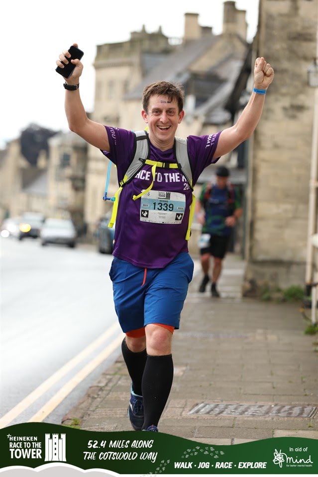
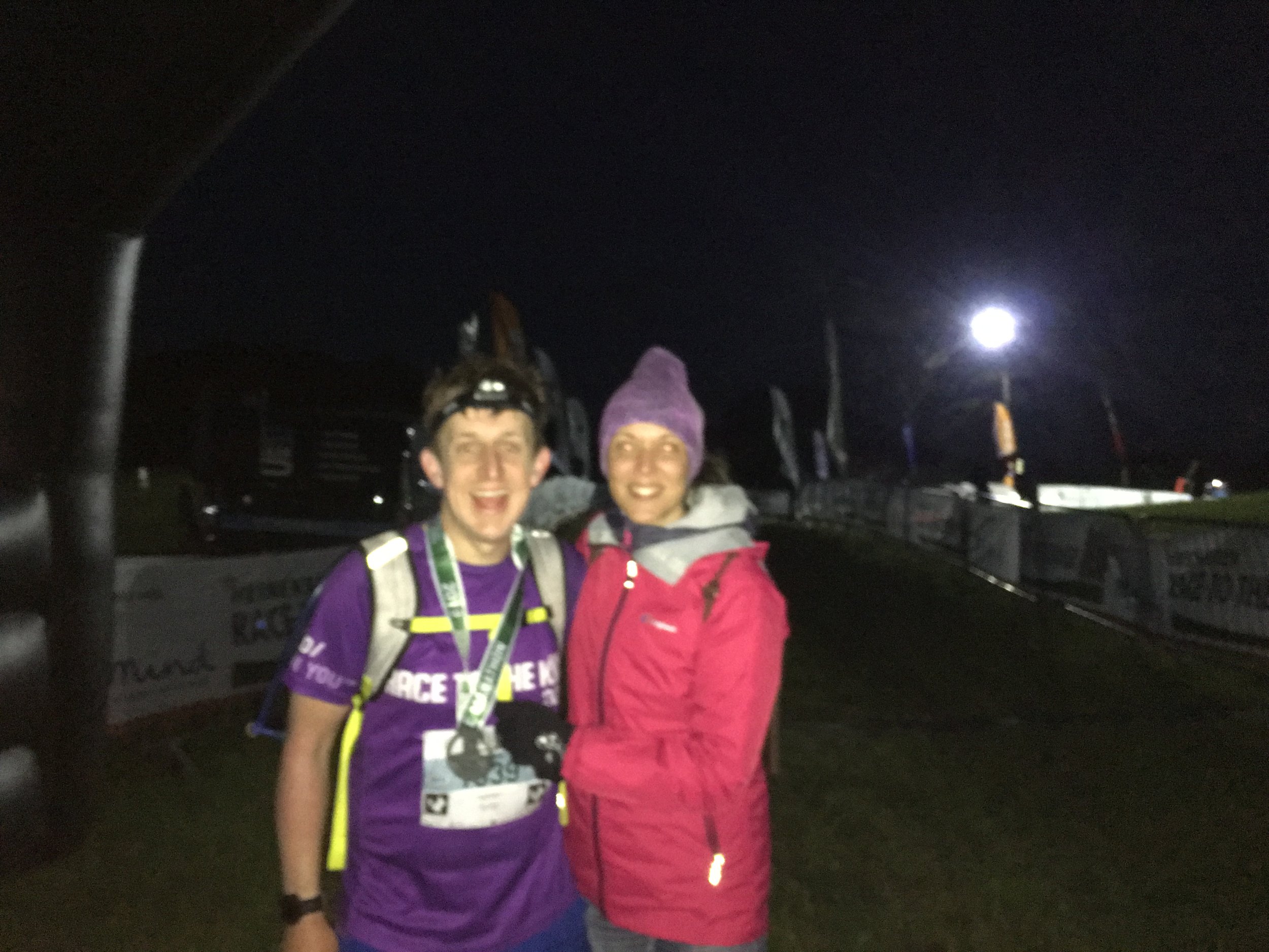
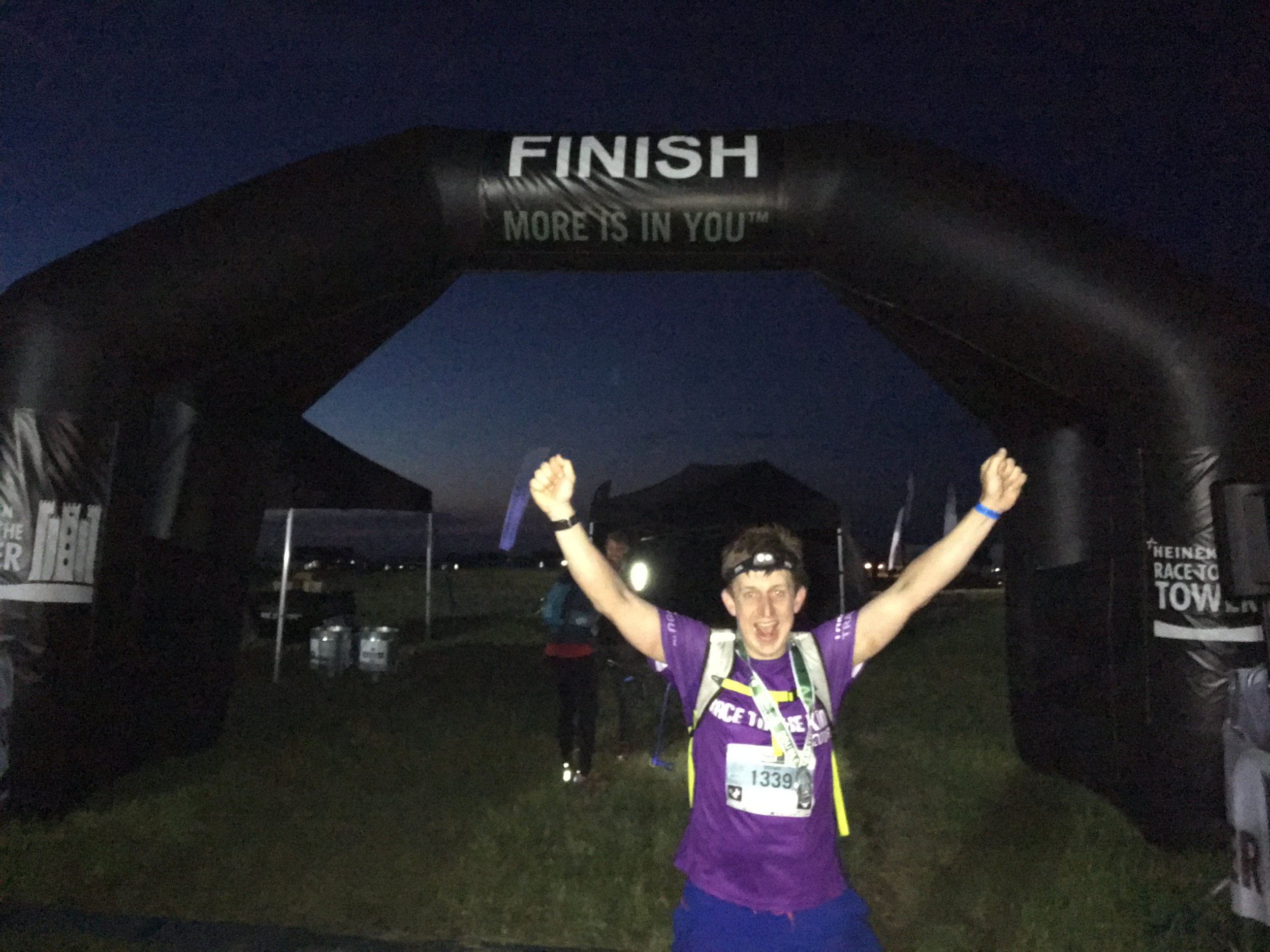
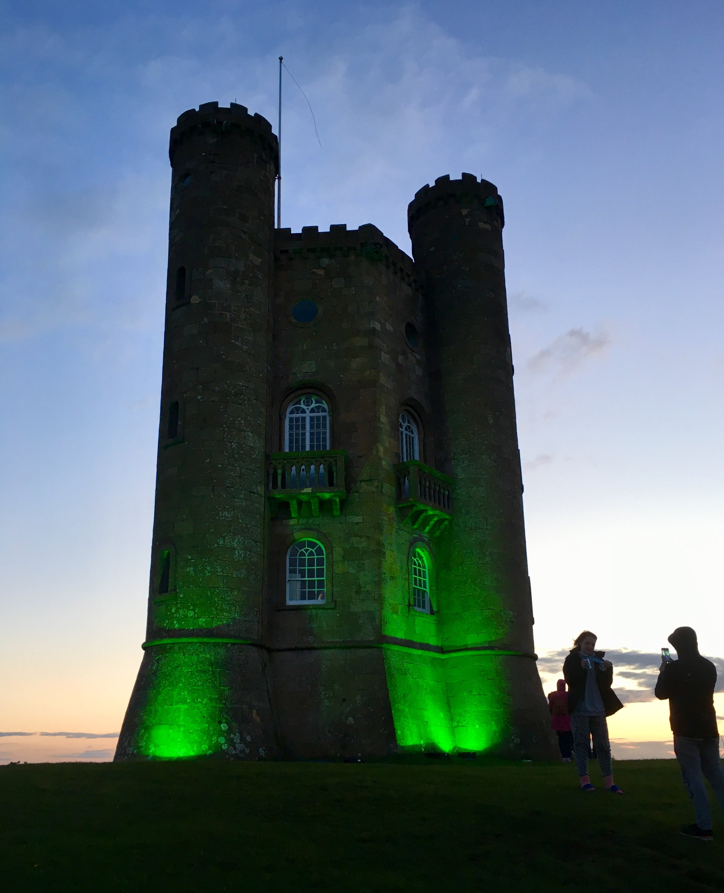
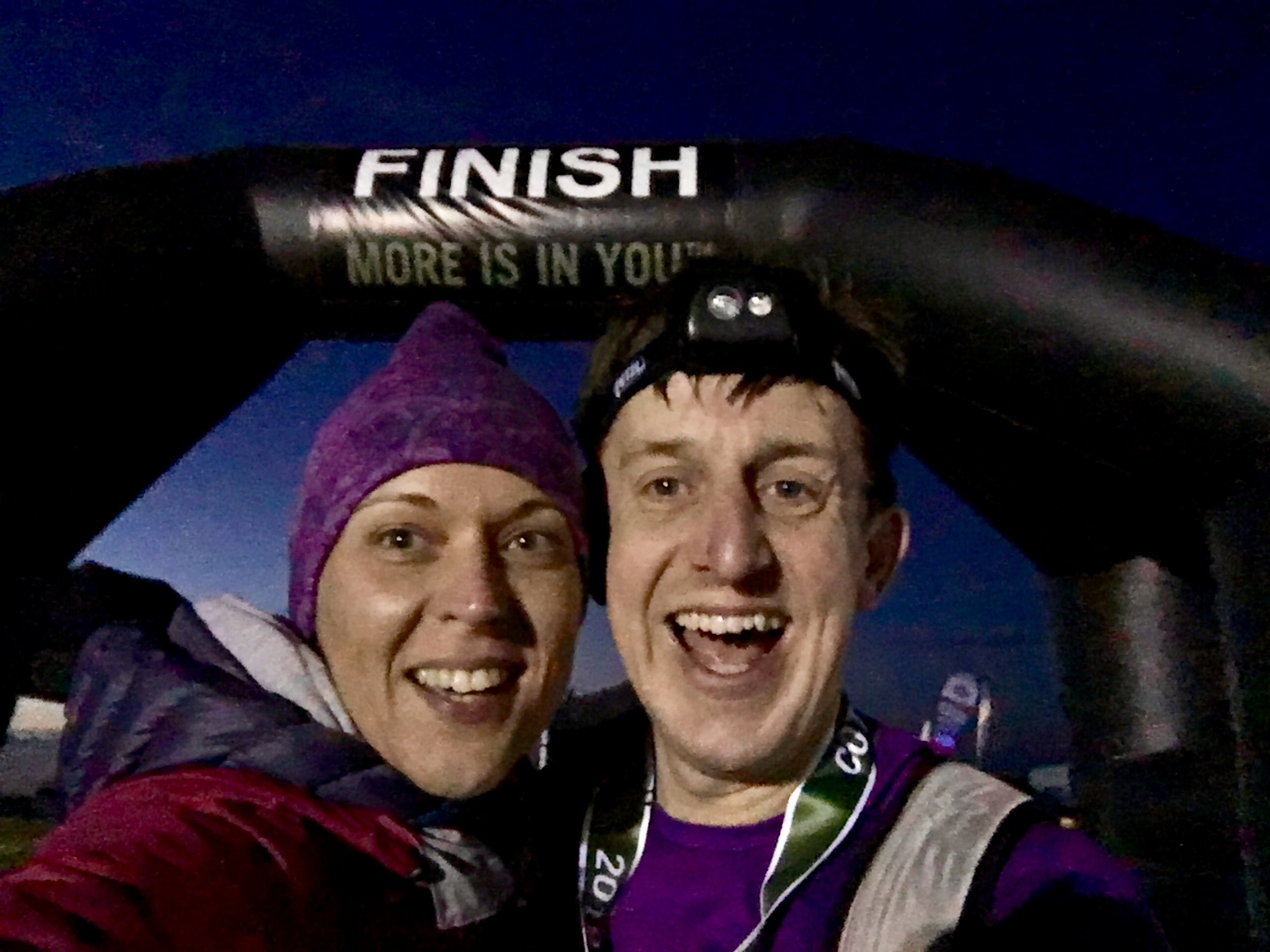
Just past the High Street it got quiet and dark again. The route turned right off the road and into fields again. This was the final mile and it was a bastard. There was no gentle finish, just a seemingly endless climb up to the top of the hill. Timi and mum had been there for half an hour. I was still 45 minutes ahead of time but slowing down. Finally, at the top of the hill and through the trees, the Broadway Tower appeared, lit up in lime green and marking the end of the double marathon. Timi was there at the final 100 metres and joined me to cross the finish line.

It’s a very different feeling crossing finish lines now. I used to get a wave of emotion about finishing something I didn’t think I could do. Now it’s not about proving anything so the feeling is more about satisfaction, enjoyment, excitement and just a bit of being absolutely bloody knackered.

elevation_profile.jpg

Start: Bird In Hand Farm


End: Broadway Tower

 
Cleeve Hill: Gloucestershire County Top
Cotswold Way junction near the summit.

Cotswold Way junction near the summit.

Significance: Highest peak in Gloucestershire (Historic CT), Cotswolds AONB High Point
Member of: Marilyn
Parent Peak: The Wrekin. NHN = Herefordshire Beacon
Elevation: 330m
Date climbed: 8th December 2013
Coordinates: 51.920°N 2.007°W   
Route Start / End: Rising Sun Hotel, Rising Sun Lane, Cleeve Hill, Cheltenham, GL52 3PX
Route Distance: 12 km (7.5 miles)
Route Elevation Change: +/- 304m
Subsidiary tops on route: Cleeve Hill (317)
GPX File: get via Buy Me a Coffee
Other routes touched (walk): Cotswold Way, Winchcombe Way (West), Isbourne Way
Other routes touched (cycle): none
OS Trig Pillar: TP0007 - Cleeve Hill
Map: OS Explorer Map (179) Gloucester, Cheltenham and Stroud
Guidebook: The UK's County Tops (Jonny Muir), Walking the County High Points of England (David Bathurst)
Links: Wikipedia (Gloucestershire), Wikipedia (Cleeve Hill), Peakbagger, Hillbagging


OTHER HIGH POINT IN Gloucestershire