Cycling The Thames and Severn Canal
Bowbridge
Start: Gloucester Railway Station, Bruton Way, Gloucester GL1 1DE, UK
Finish: Kemble Railway Station, Kemble, Cirencester GL7 6AU, UK
Distance: 48.5 km (30 miles)
Elevation Change: +313m / -221 m / Net -92m
GPX File: get via Buy Me a Coffee
Other Routes Touched (Cycle): NCN 41, 45
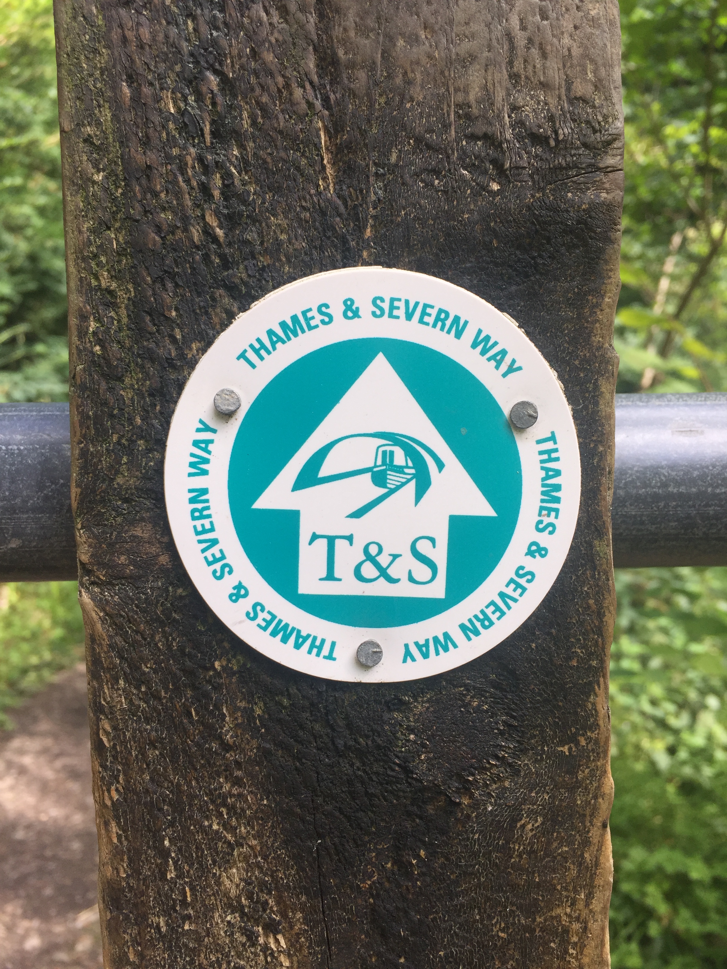
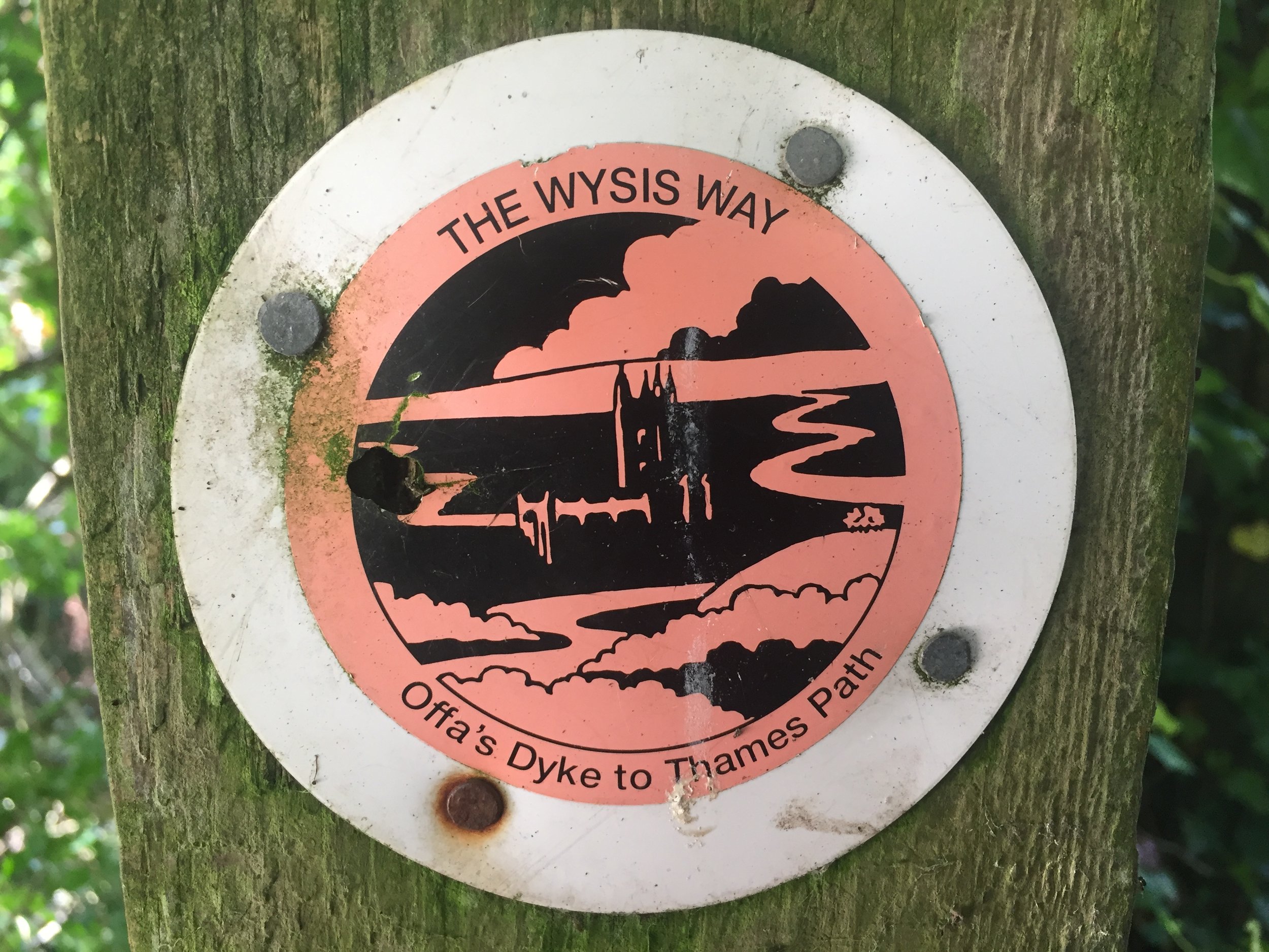
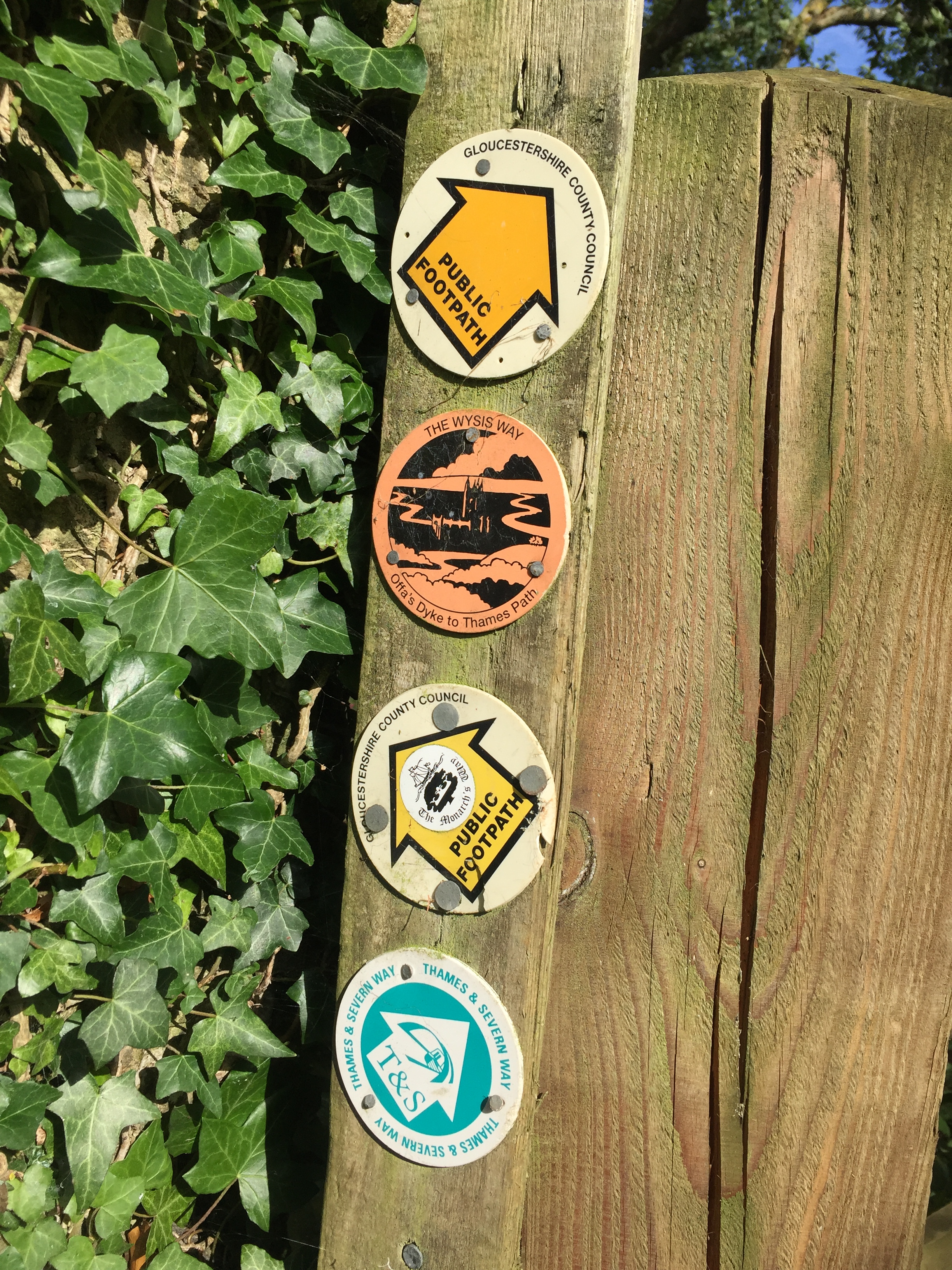
Other Routes Touched (Walk): Gloucester & Sharpness Canal Towpath, Wysis Way, Glevum Way, Stroudwater Navigation Towpath, Thames & Severn Way, Cotswolds Way, Macmillan Way, The Monarch’s Way, Thames Path
Maps:
- OS Explorer 179 Gloucester, Cheltenham & Stroud
- OS Explorer OL14 Wye Valley & Forest of Dean
- OS Explorer 168 Stroud, Tetbury & Malmesbury
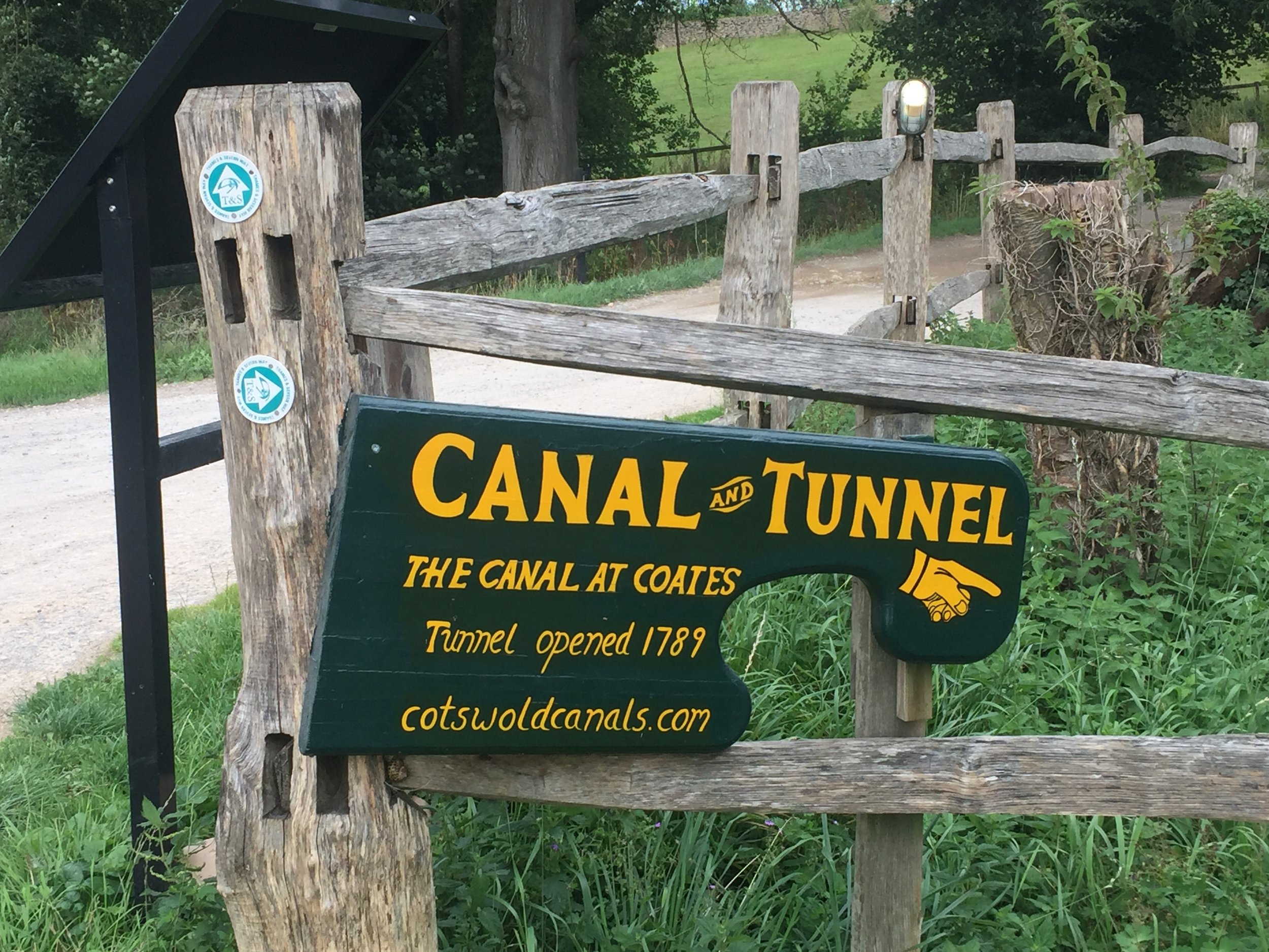
Links: : Gloucester & Sharpness Canal, Thames & Severn Canal, Gloucester, Stroud, Kemble
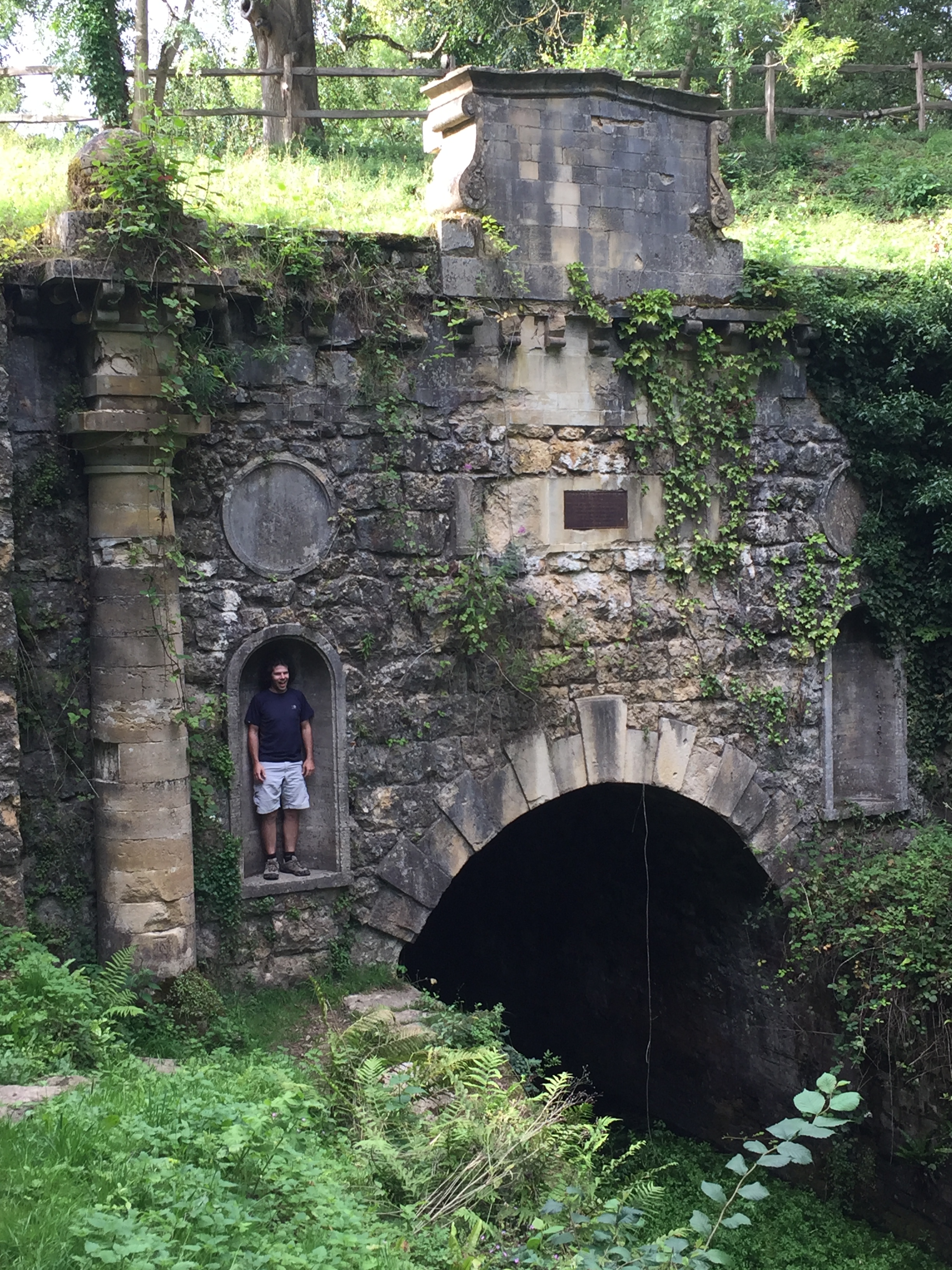
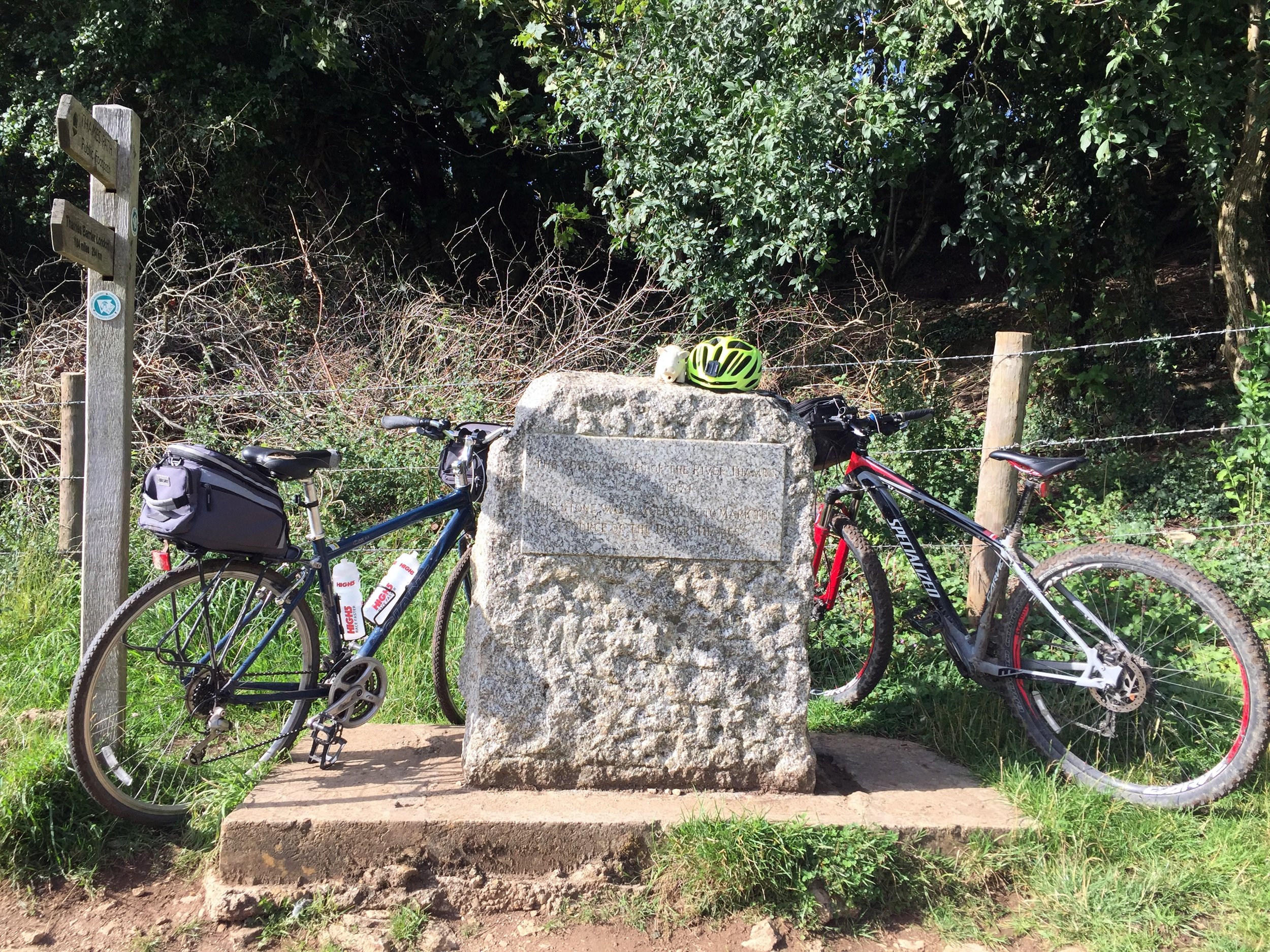
This was a short cycle ride that was 22 years in the making. Back in 1997 my mate Charles and I visited Kemble in Gloucestershire to kick off our 3-day Thames Path Adventure. With some time to kill on the evening before the ride we explored the area around the source. Just behind the stone that marks the source we found an abandoned canal and followed it for a mile and a half until reaching a tunnel. I made a mental note to find out more about it and follow it to the end one day.
I quickly forgot about the canal and only remembered it a few months ago. With a bit of web research I found out that we had stumbled across the Thames and Severn Canal. It was completed in 1789 to connect the 2 rivers but abandoned in 1927 and fell into disrepair. With some further research I discovered an interesting 50k point-to-point trip along the both the Gloucester & Sharpness and Thames & Severn canals.
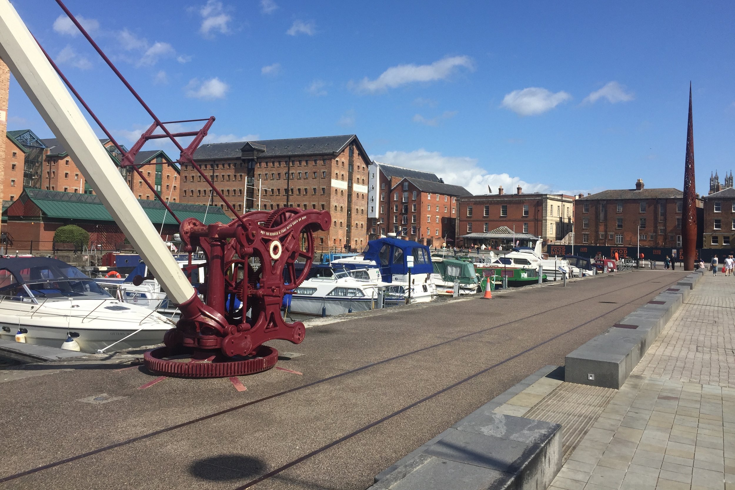
After the obligatory Saturday morning parkrun at Tetbury Goods Shed we parked at Kemble railway station. From here we took the bikes on the train for a 40 minute trip to Gloucester station. The Gloucester and Sharpness Canal basin is 1 km from the station via the High Street. The basin is a good start point for a few different adventures. The Severn Way runs through it and you can take it north through Wales to Plynlimon or South to Bristol. We headed South along the NCN 41/45 following the canal.
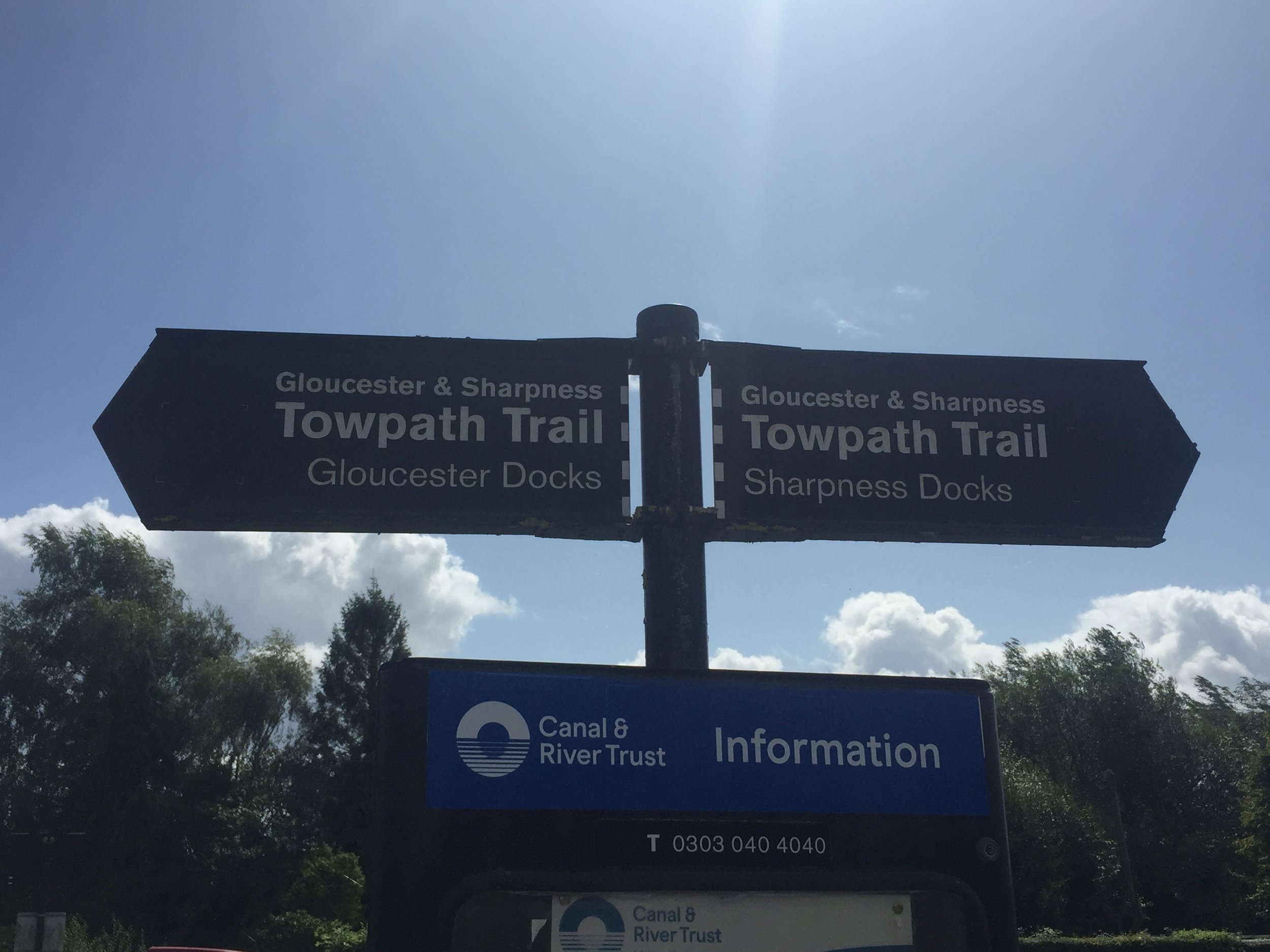
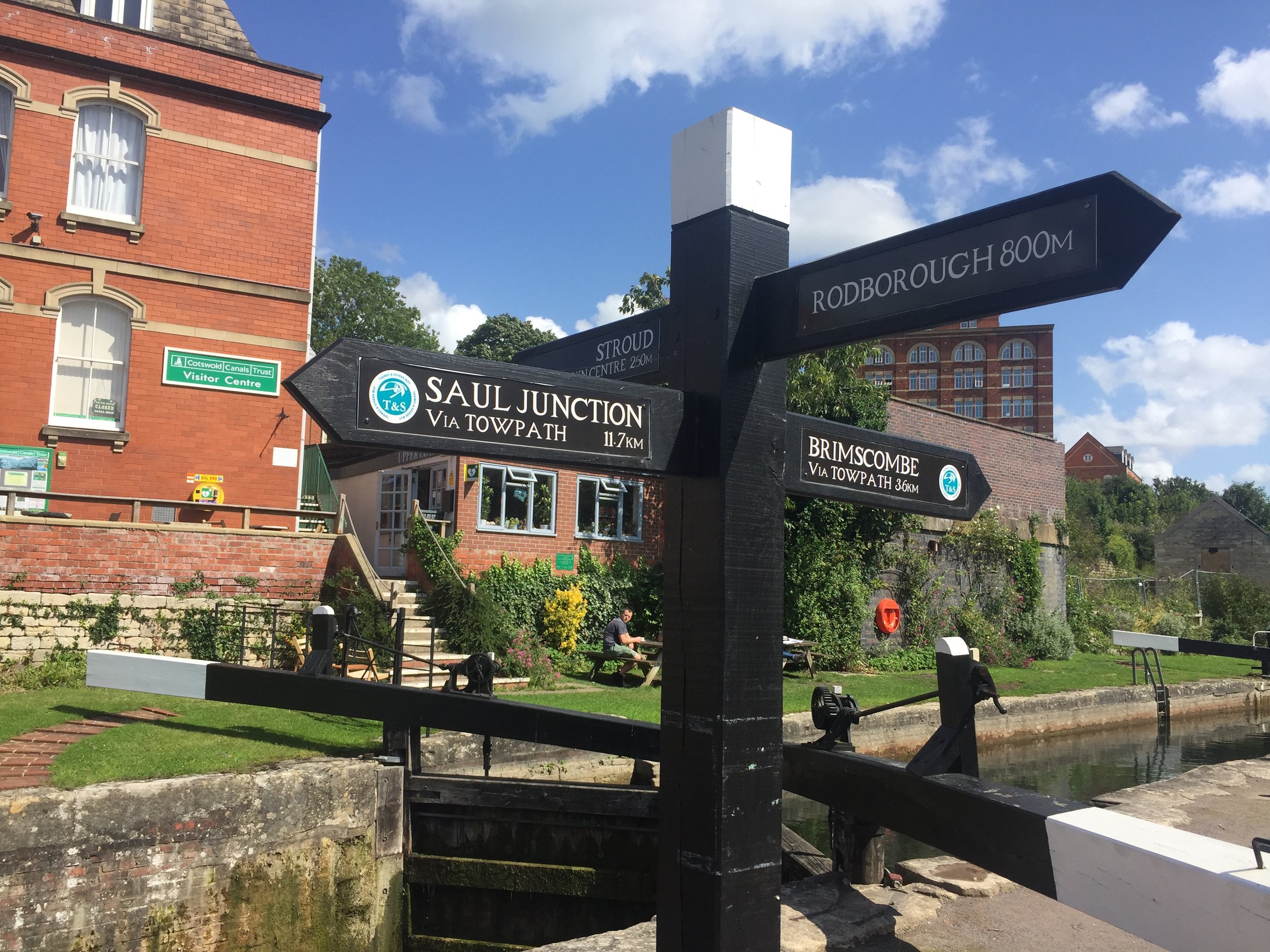
The Gloucester and Sharpness runs for 16 miles from Gloucester basin to Sharpness Docks. I had visited the Southern end of it a few years ago to see the old barges at Purton. The towpath from Gloucester to the junction with the Thames and Severn at Saul is well maintained and good for cycling. The NCN follows the towpath for 2.5 miles before diverting to the West. Here you have a choice of continuing along the towpath (as we did) or following the NCN and rejoining the canal at Saul Junction.
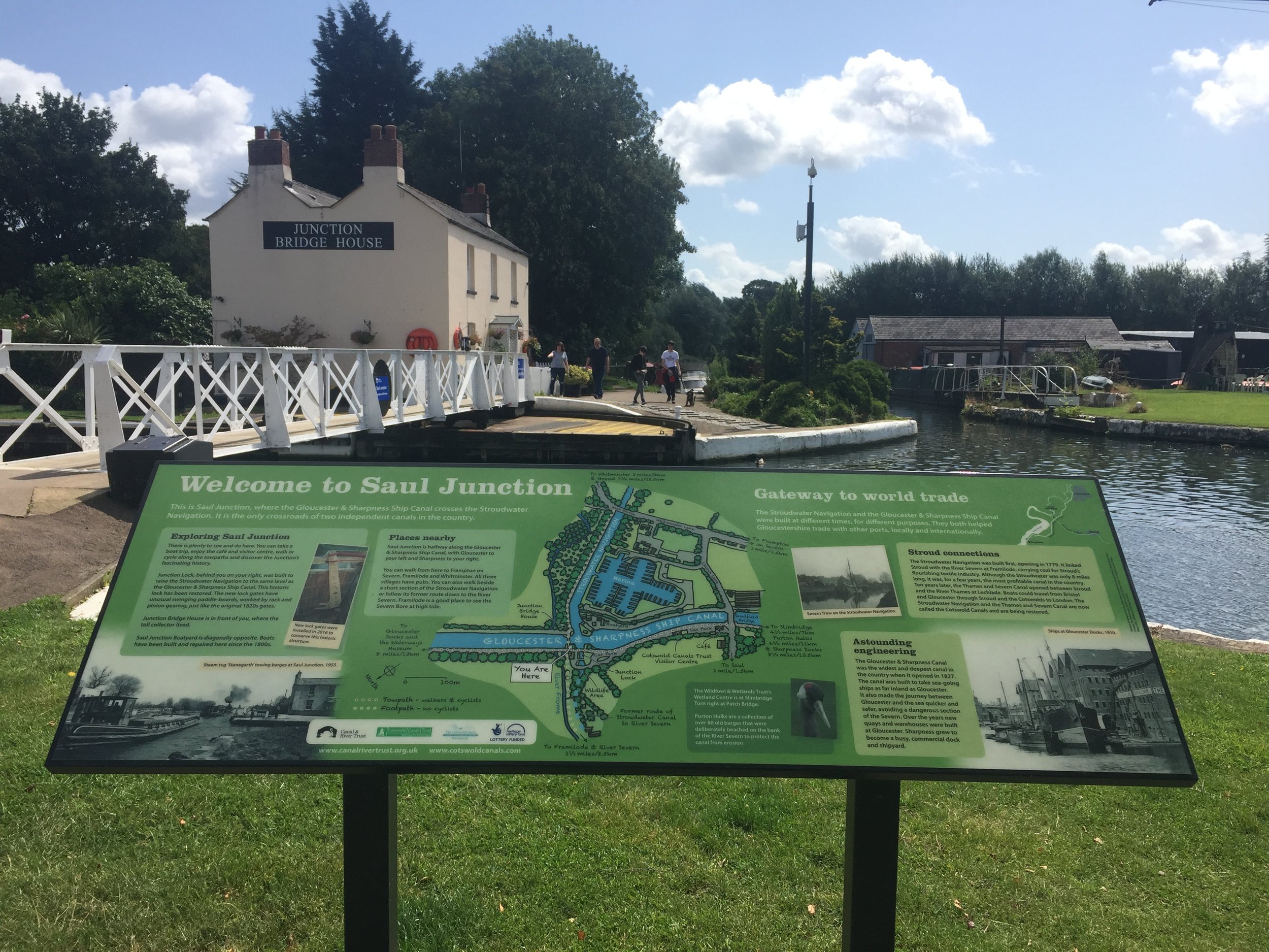
At Saul Junction you need to dismount and walk the bikes 500 metres to Whitminster Lane. Here you rejoin the NCN 45 which follows a parallel course to the North of the Stroudwater Navigation. After ~10km / 6 miles, the NCN diverts South following the Nailsworth Stream. Instead, turn left / North to Dudbridge and pick up the Stroudwater Navigation east into Stroud.
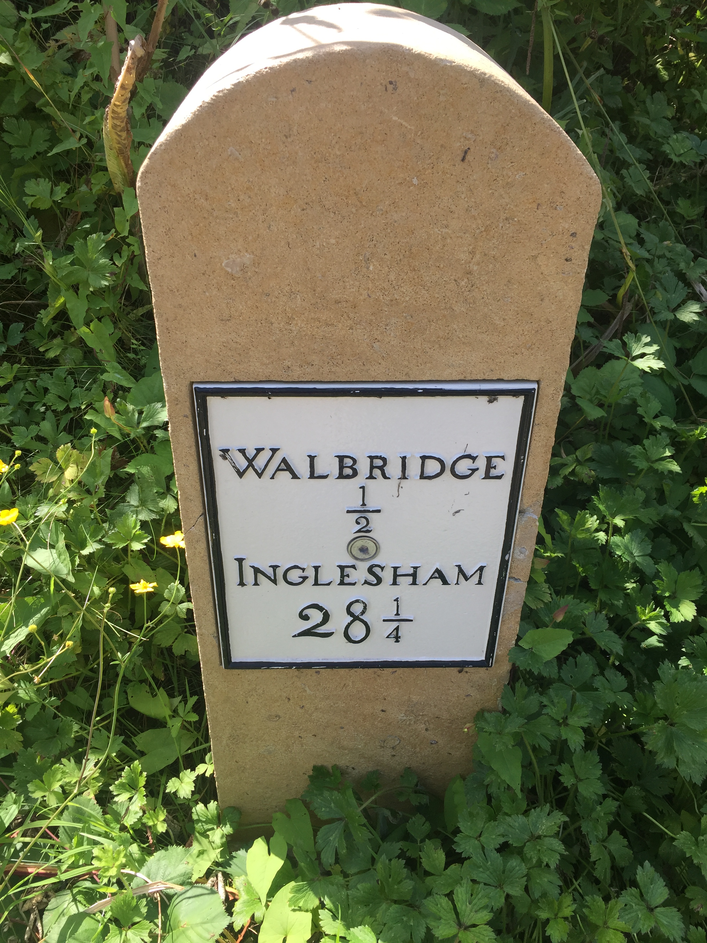
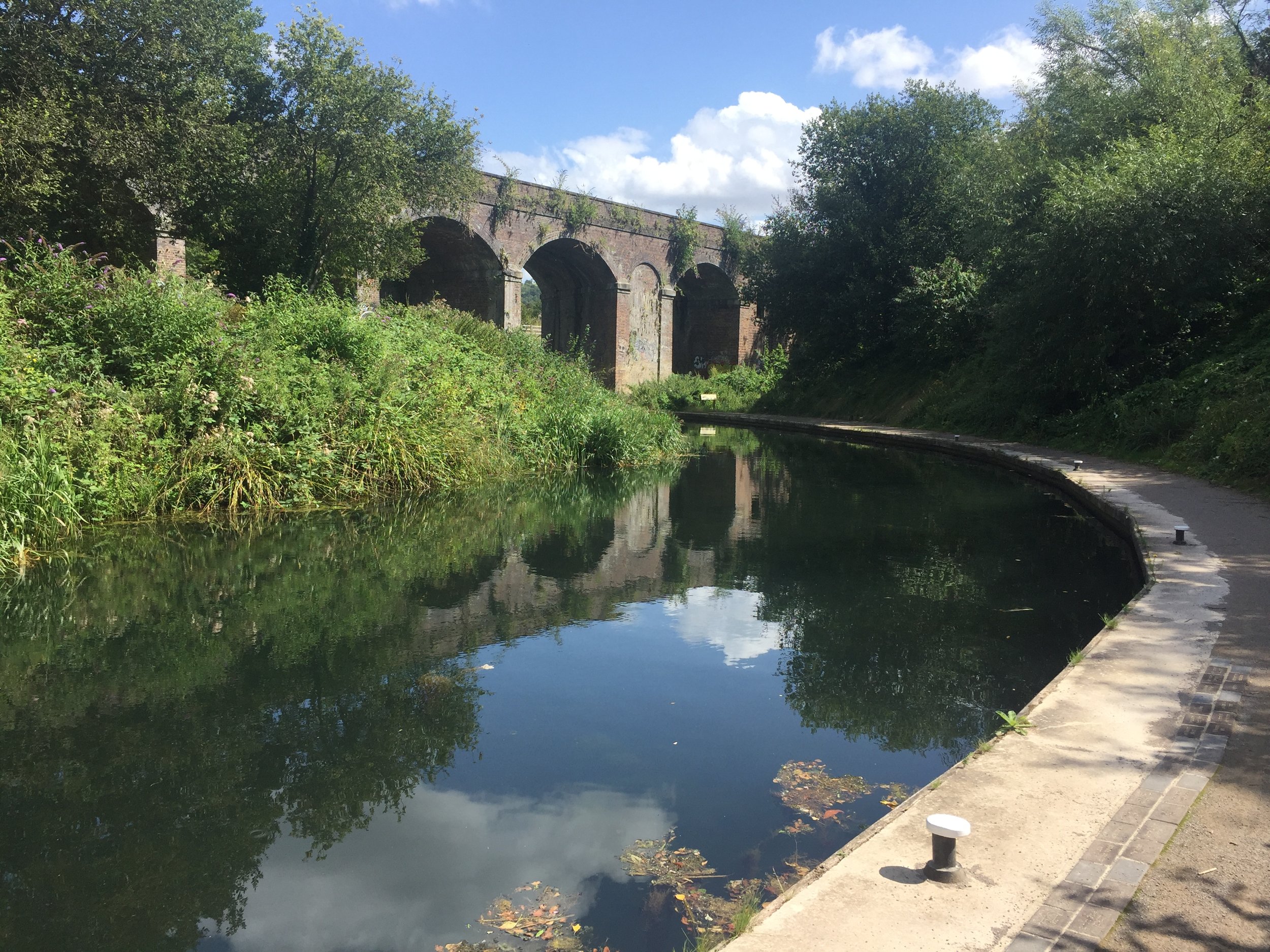
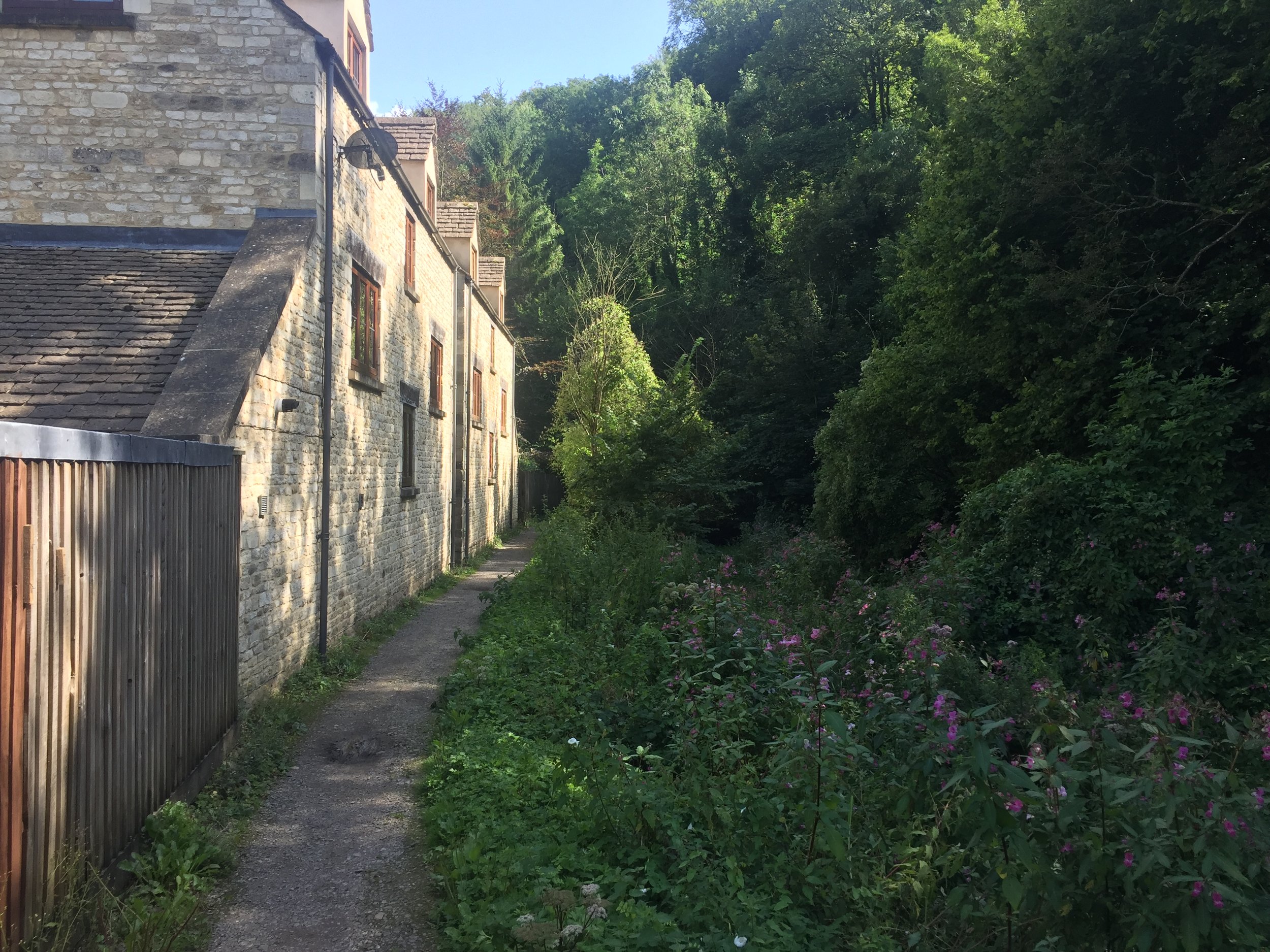
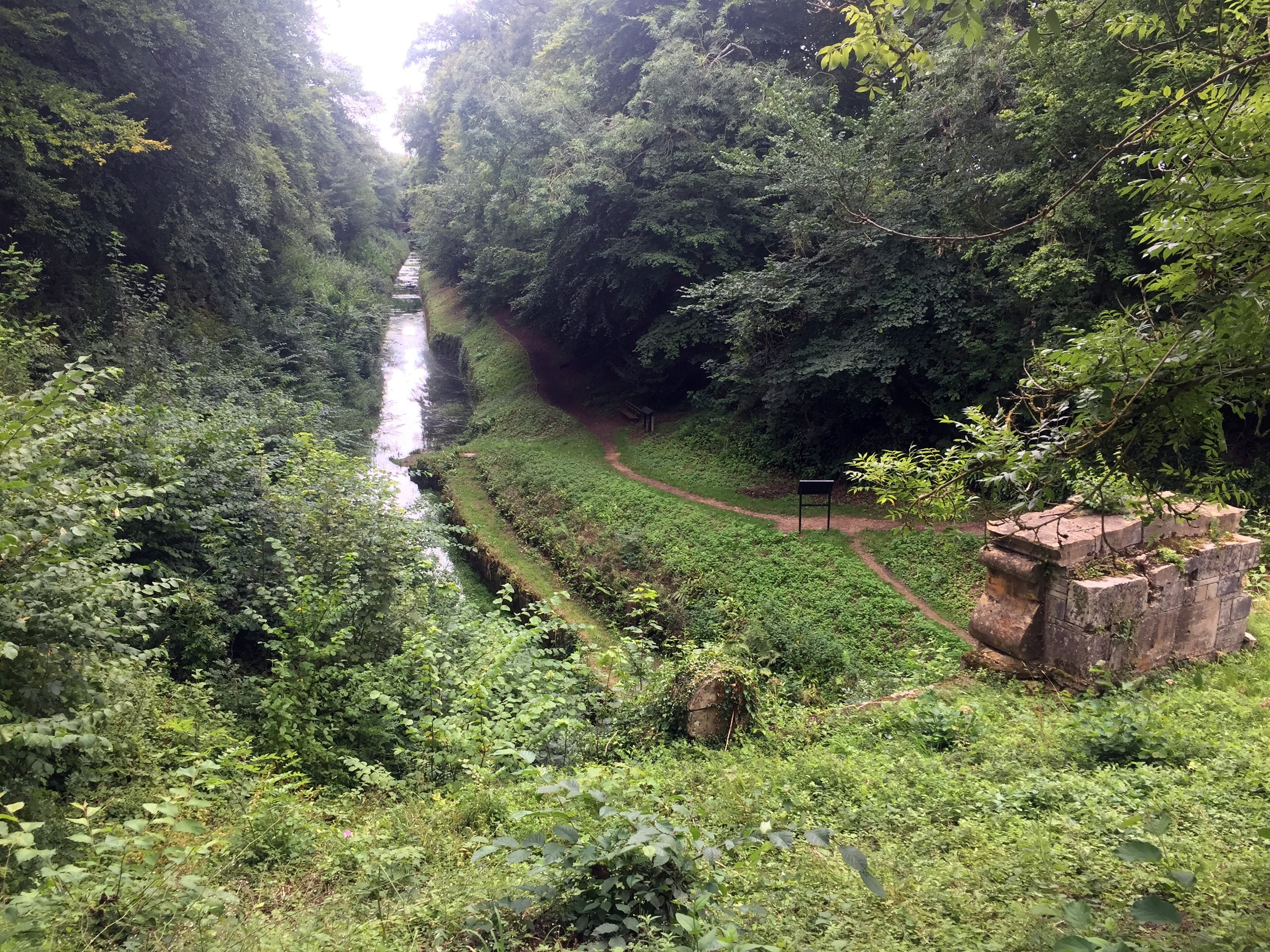
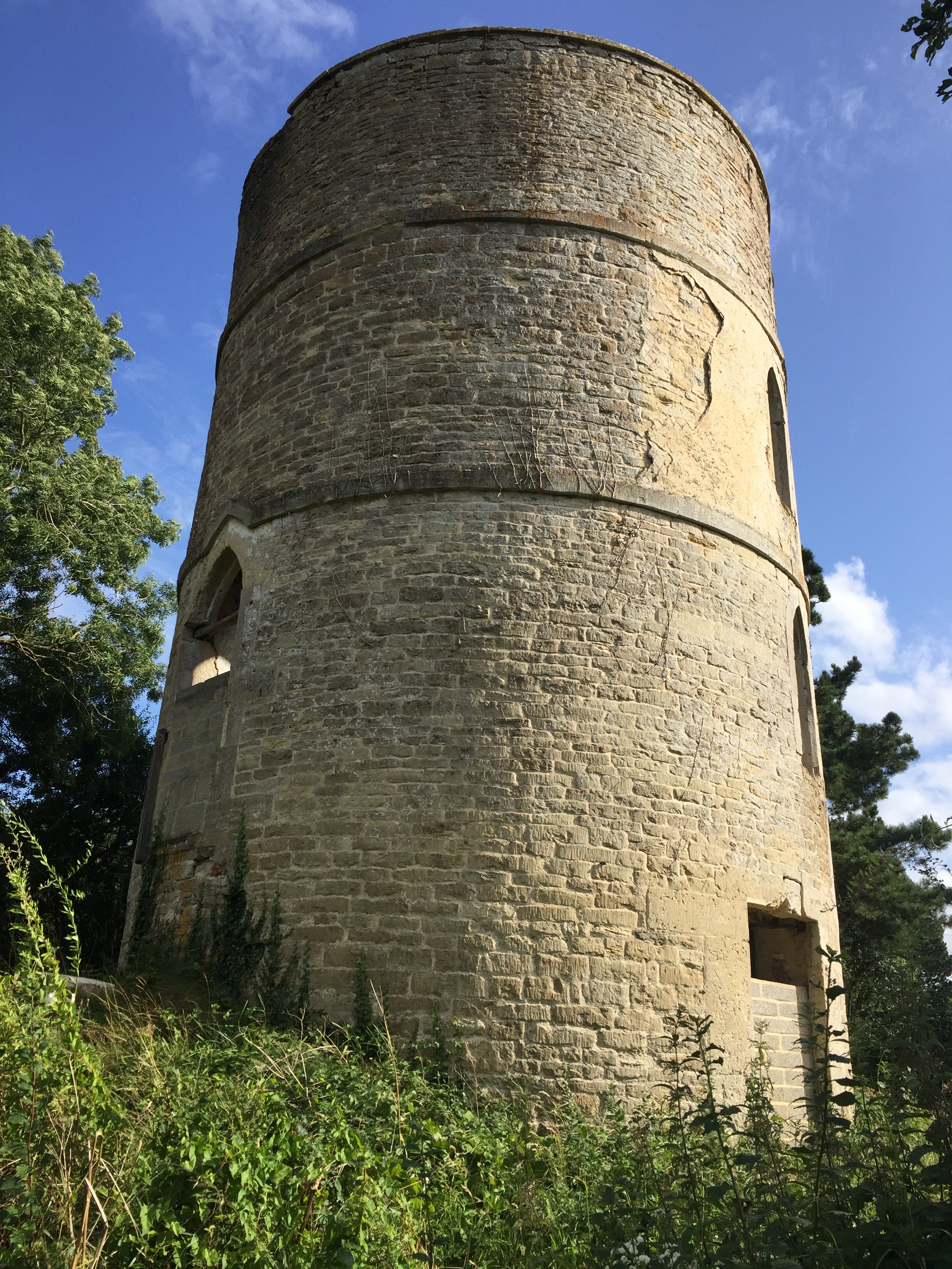
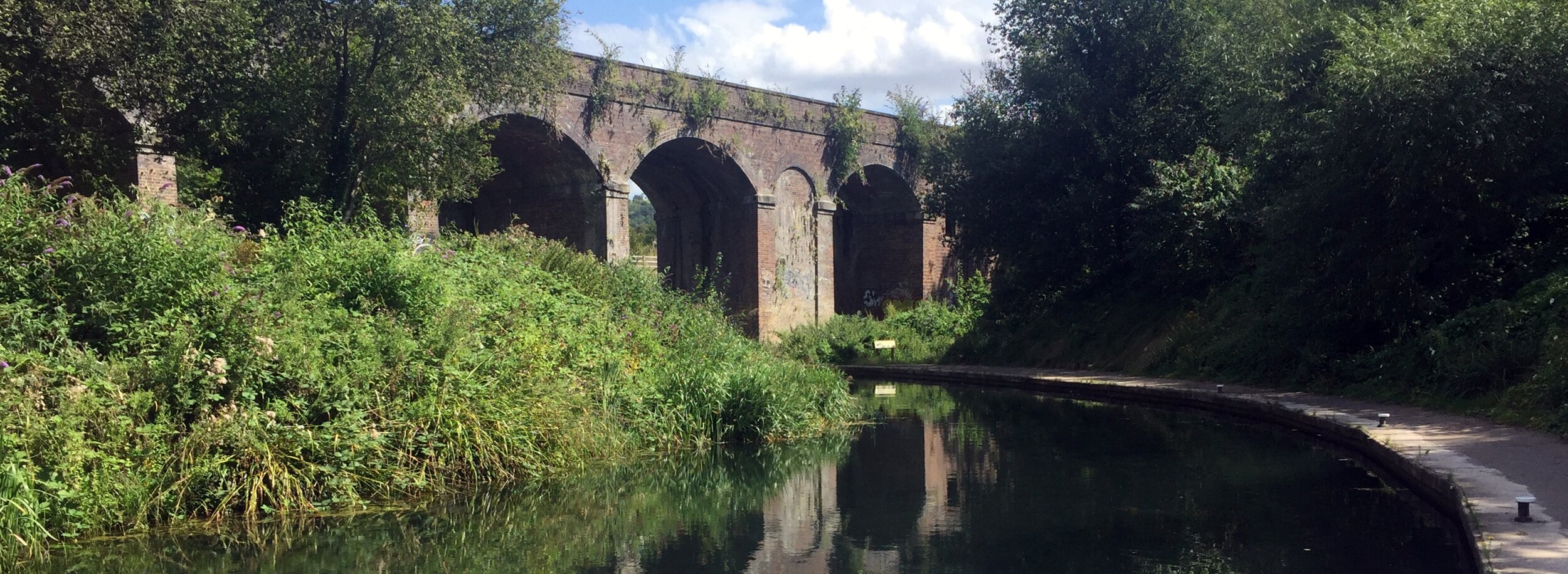
The Upper Lock Cafe is a great place to stop for a rest. From here the route is now called the Thames and Severn Canal Towpath. You can follow this without significant diversion all the way to Sapperton. The path gets quite narrow after Stroud but it's easily cycled if you keep your eyes peeled for root branches and steep cambers. There's many places where the canal disappears completely having been covered by abandoned industrial units and dense vegetation.
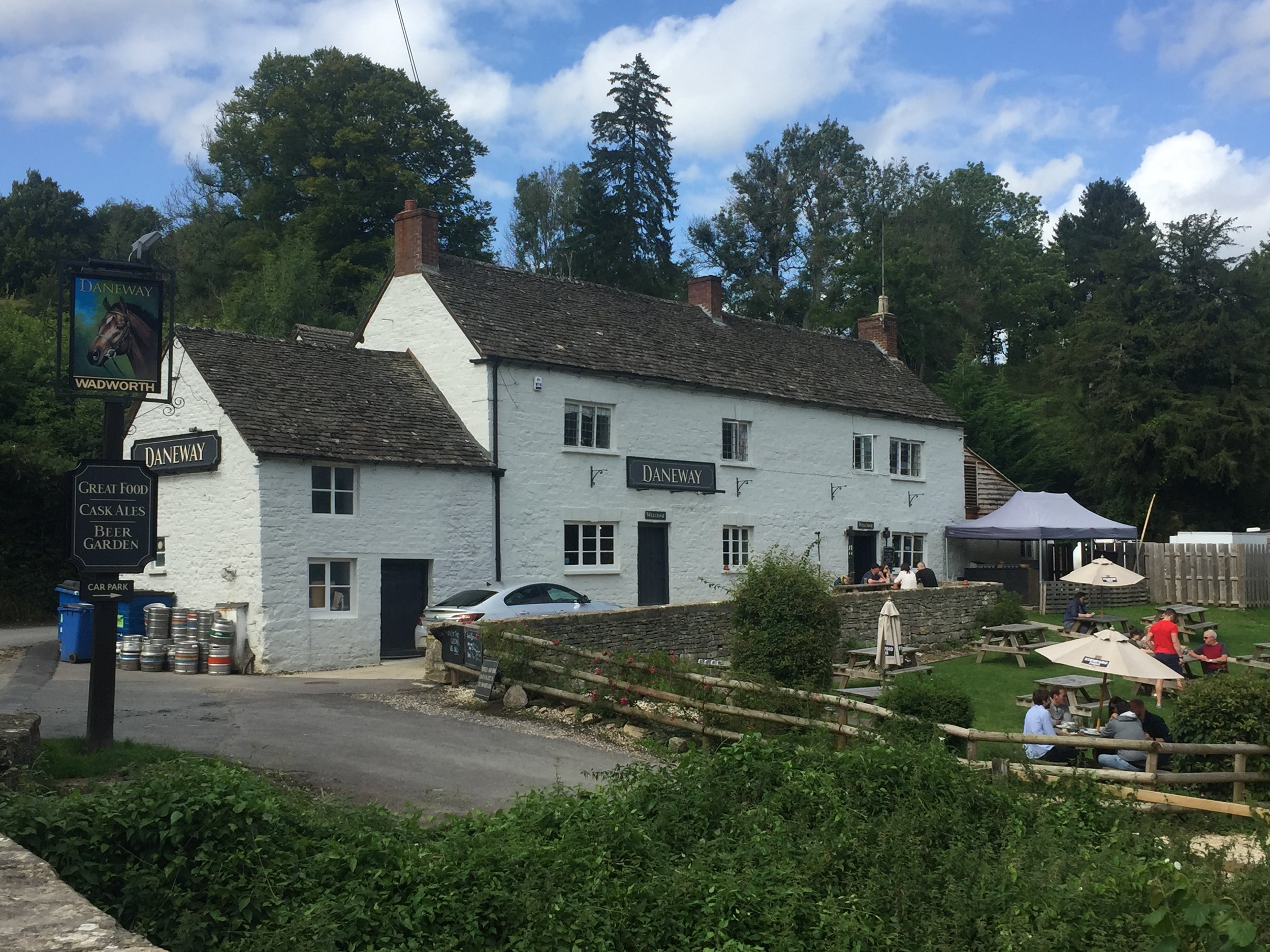
The Daneway Inn at Sapperton is the next obvious place to stop for a drink. Check out the cross-section diagram of the tunnel and hill on the wall near the main door. From here, navigation is trickier as the canal disappears into the tunnel and the cycle route diverts up and over the hill. There's a steep climb from the Inn to Sapperton Village, so make sure that you're well rested.
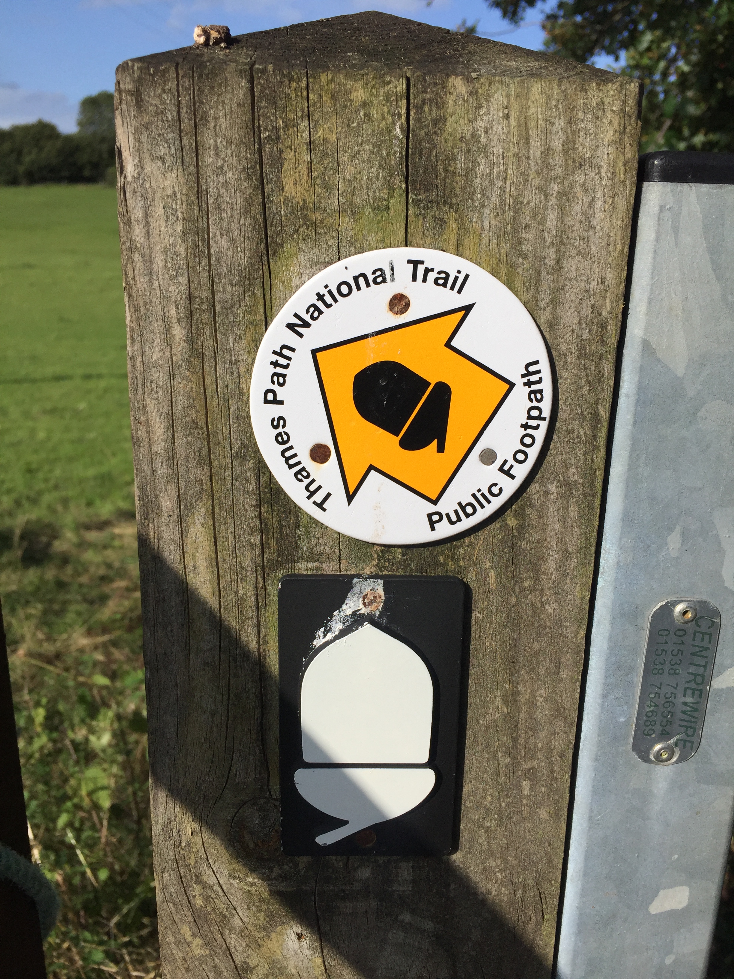
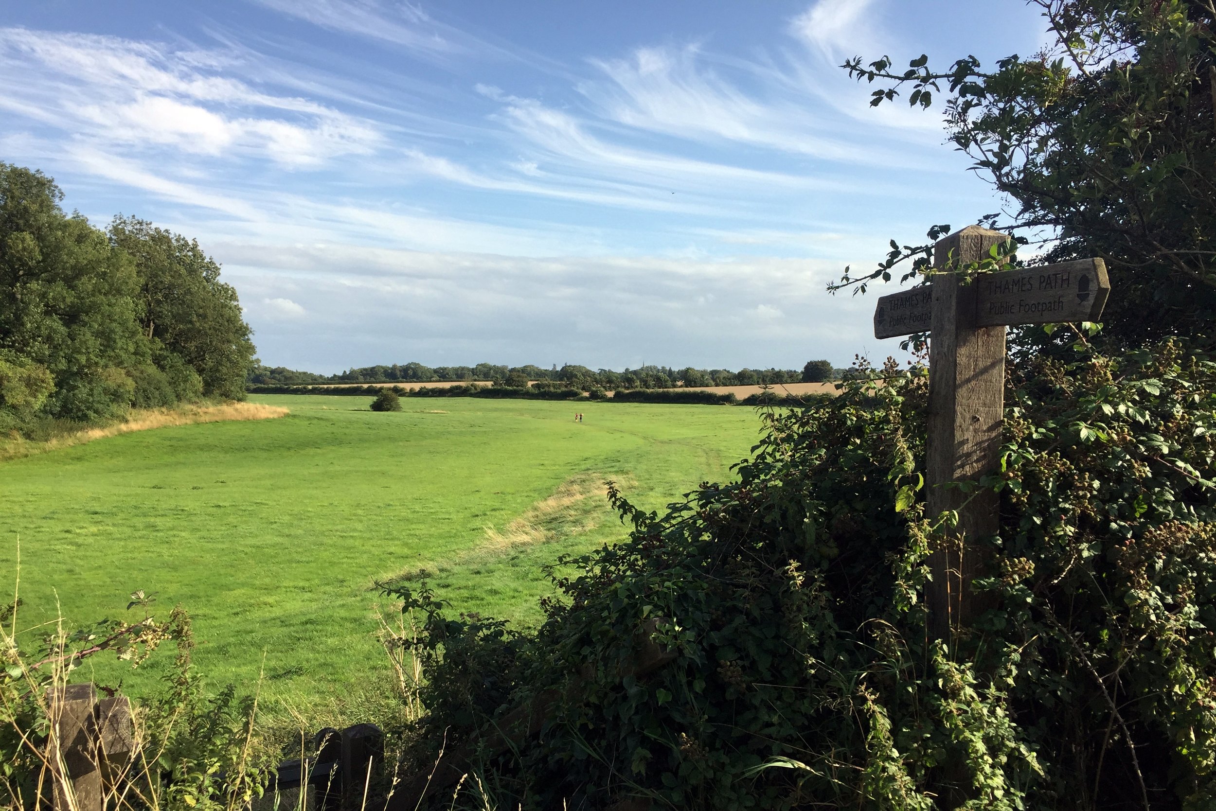
You'll now be following the Wysis Way all the way to the Source of Thames. Its primarily a footpath, but easy enough for passing and no styles to prevent cycling. Just remember to go slow and dismount for the very occasional walker coming the other way. Even in the height of Summer we only passed a handful of walkers on the whole trip.
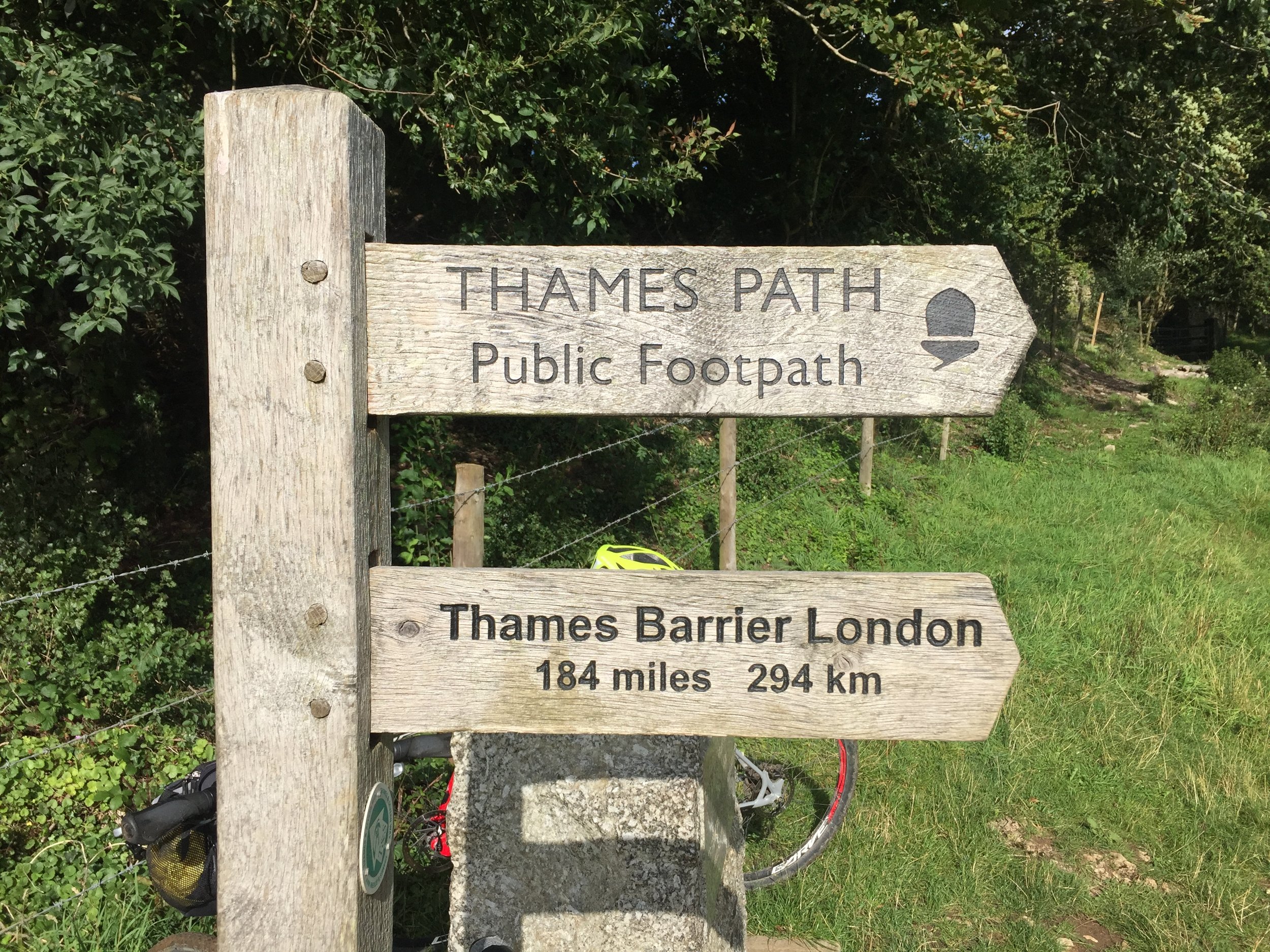
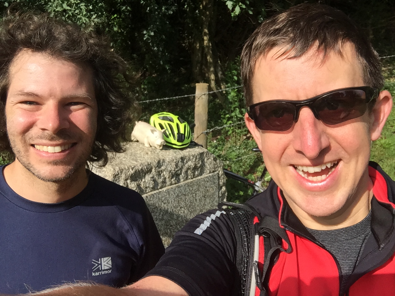
The Source of The Thames is marked by a large stone next to a wooden National Trail sign pointing 184 miles away to London. Part of me wanted to carry on, but the main part of me (and all of Charlie) was happy just to cycle the final couple of miles back to Kemble Station.
On most adventures I miss a sense of completion as they always inspire at least 2 new trips. This was different as it closed the circle on an idea I had 22 years ago. Yes, I do want to explore the Severn Way and the rest of the Wysis, but they can wait. This adventure is done.