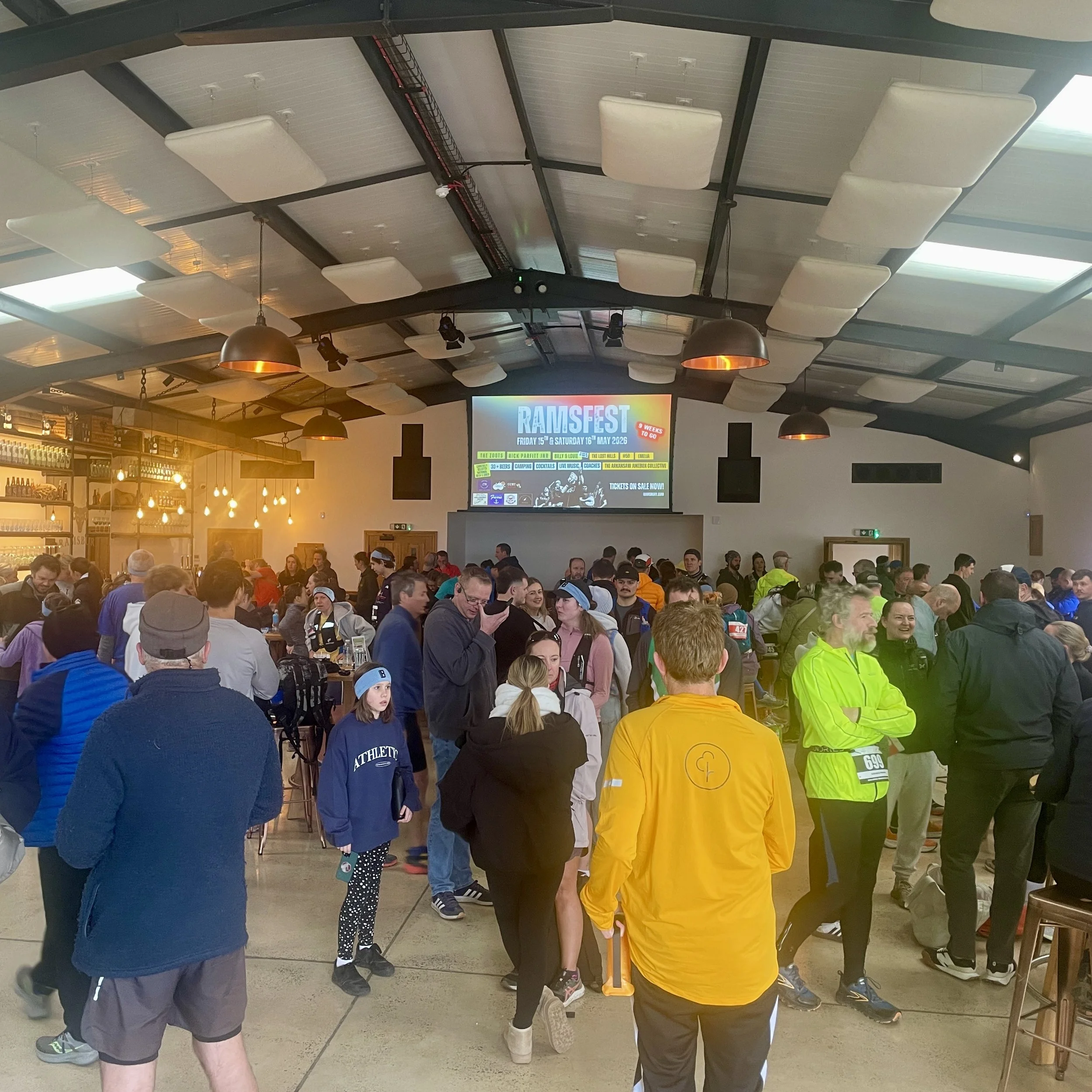
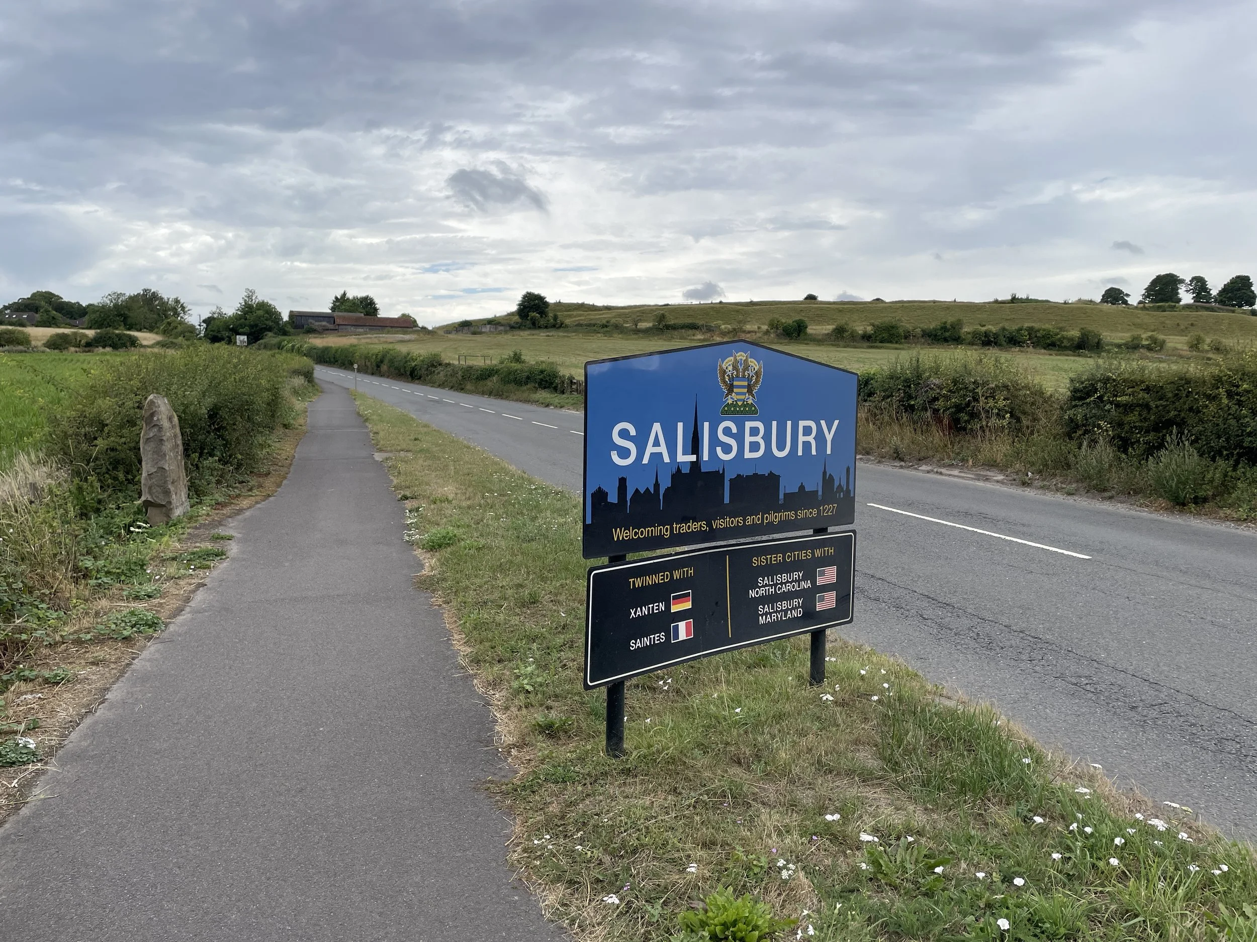
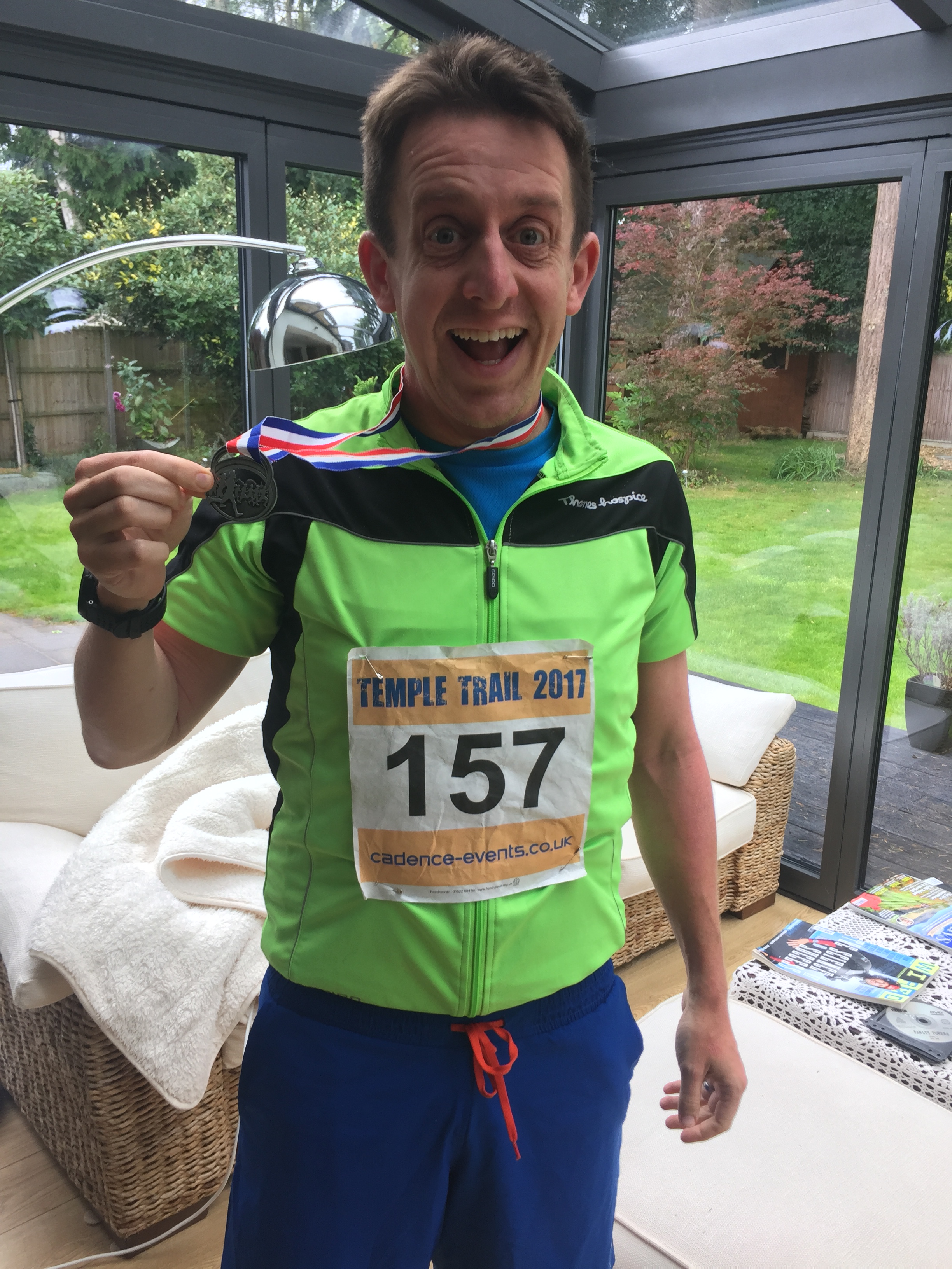
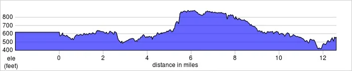
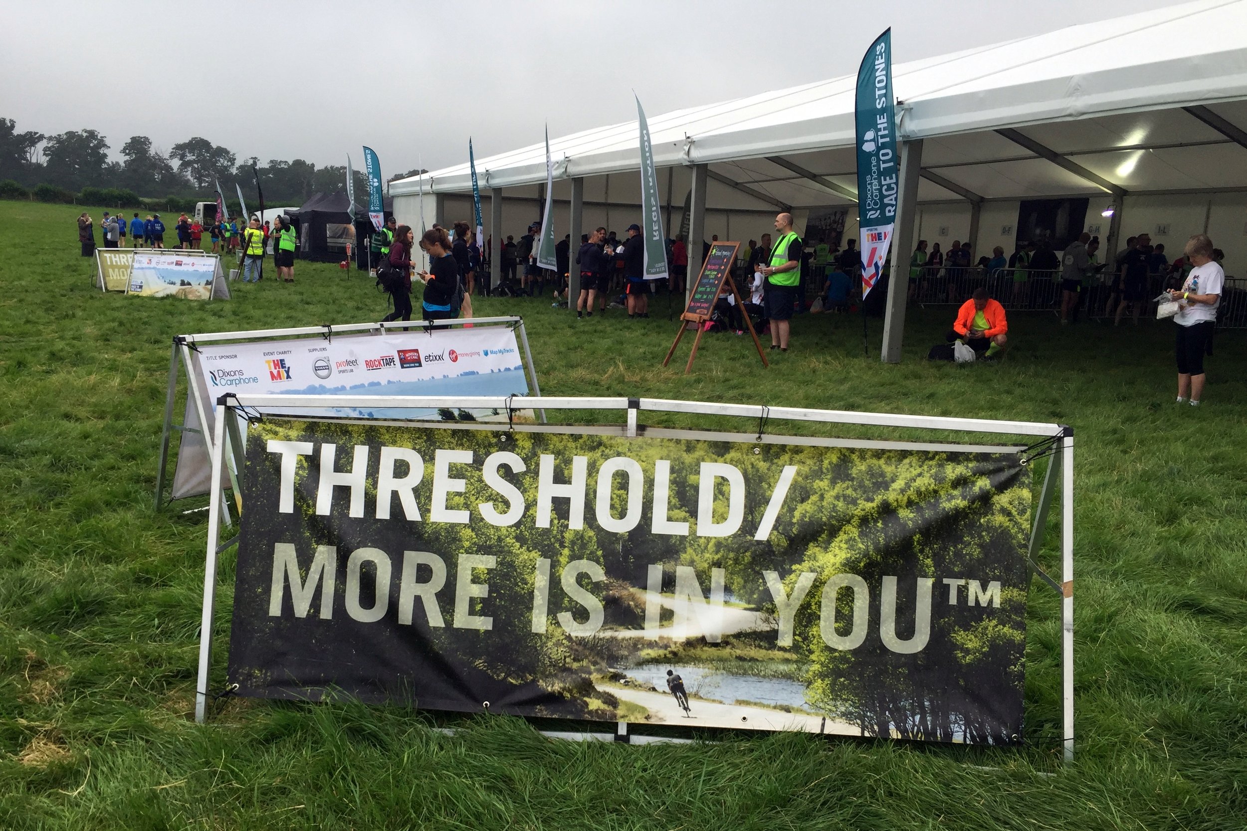
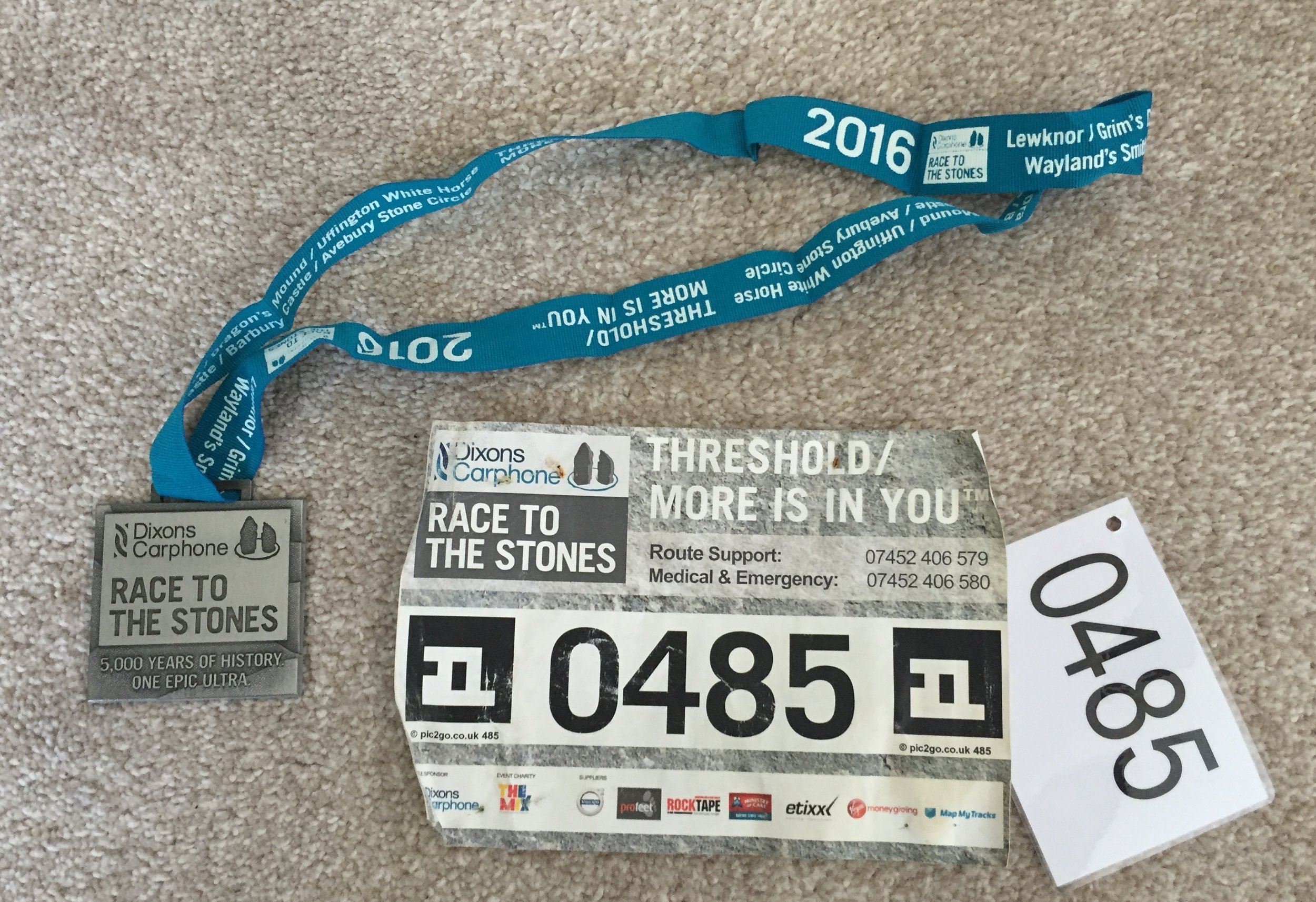
This was the one that I was really excited about. About 3 years ago I noticed an advert on the parkrun website for Race To The Stones. This is a 100km / 63 mile Ultra Marathon along the Ridgeway, the oldest path in the UK. Immediately I knew that I wanted to do it. For a couple of years the mid-July date of the event clashed with other things we were doing, so it wasn't until this year that I was able to fit it in. In the meantime I'd completed my first Ultra, the 45 mile Country To Capital, and an aborted attempt at the 50 mile Thames Trott earlier this year. By the day of the race I was over excited. As usual, I'd not done much in the way of specific training for the event, just my normal mix of events, parkruns and a single 20 mile run to break in my new trail shoes. Despite that, I'd got my nutrition right, slept enough and had upgraded my kit. I was ready to go and massively over excited. I arrived at the start line at Lewknor an hour before the run. Strangely none of my friends were interested in joining me on the race so I was on my own.
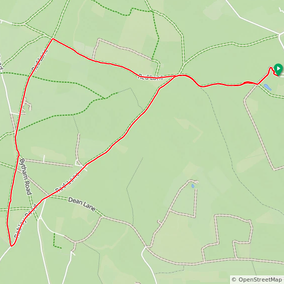
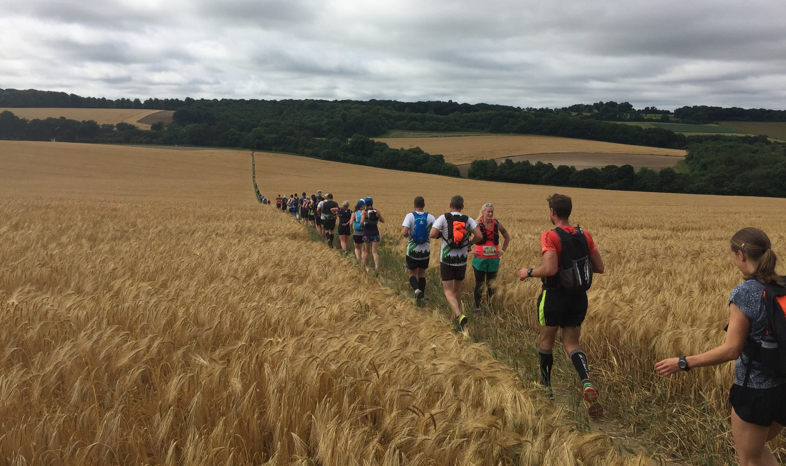
The first 30 miles to Goring were fairly straightforward. I kept to my game plan of 13 minute miles, resisting the urge to go faster through getting caught up in the buzz of all of the other runners. Watching a number of runners have nasty trips in the first 3 miles also kept me mindful of the rocks and roots on the trail.
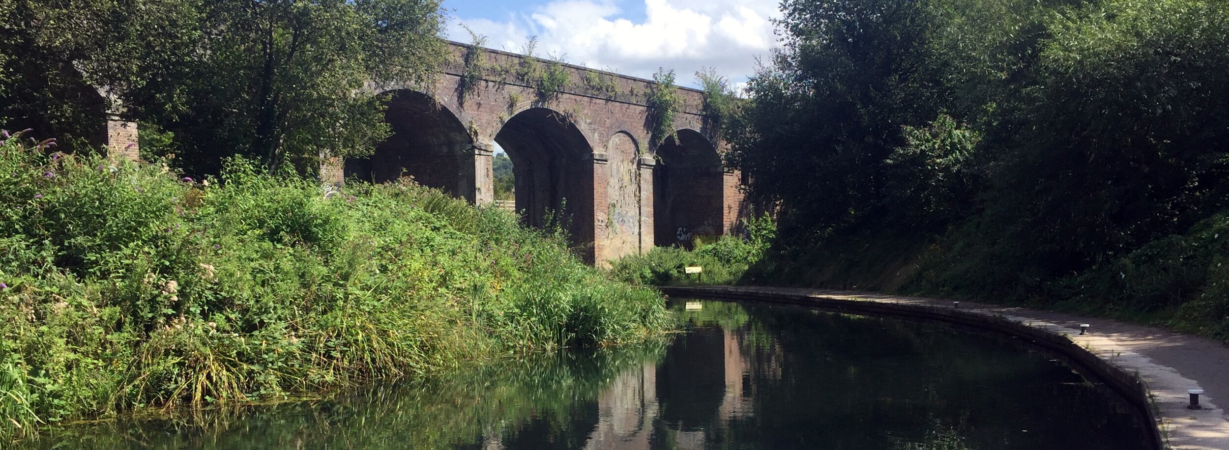
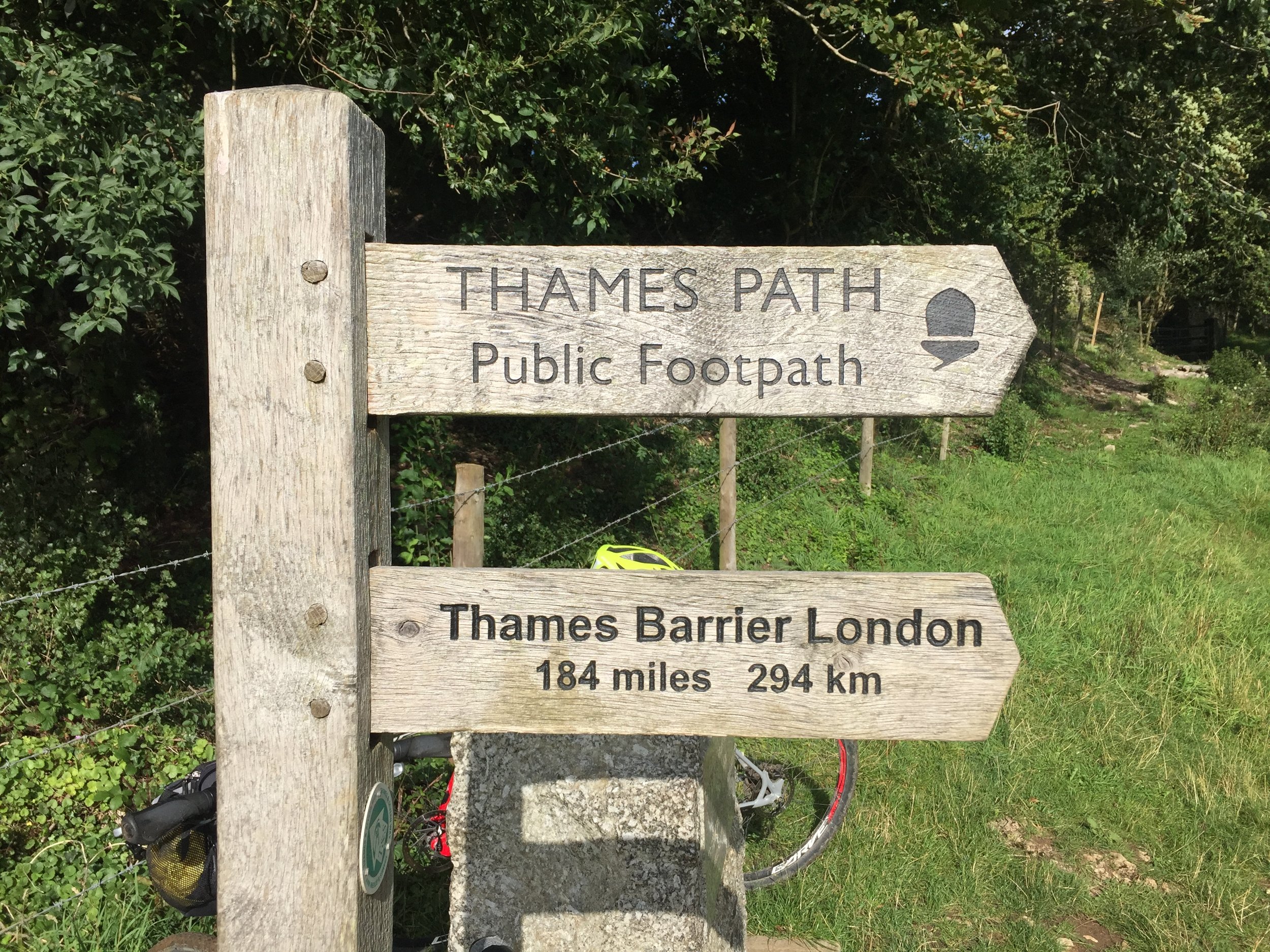
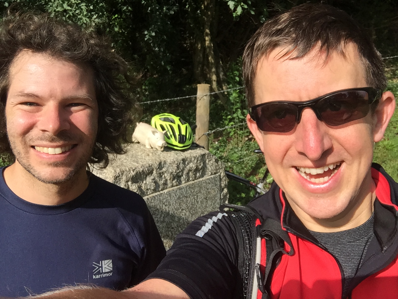
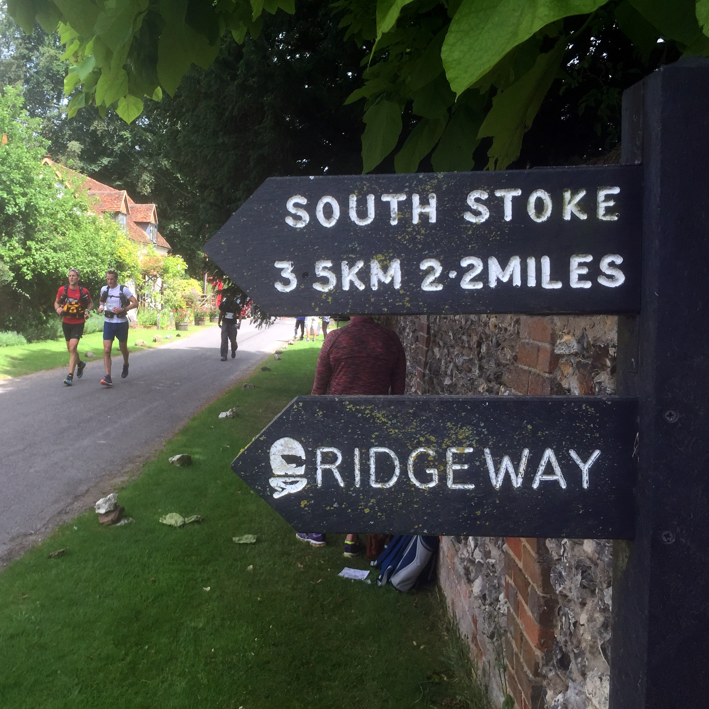
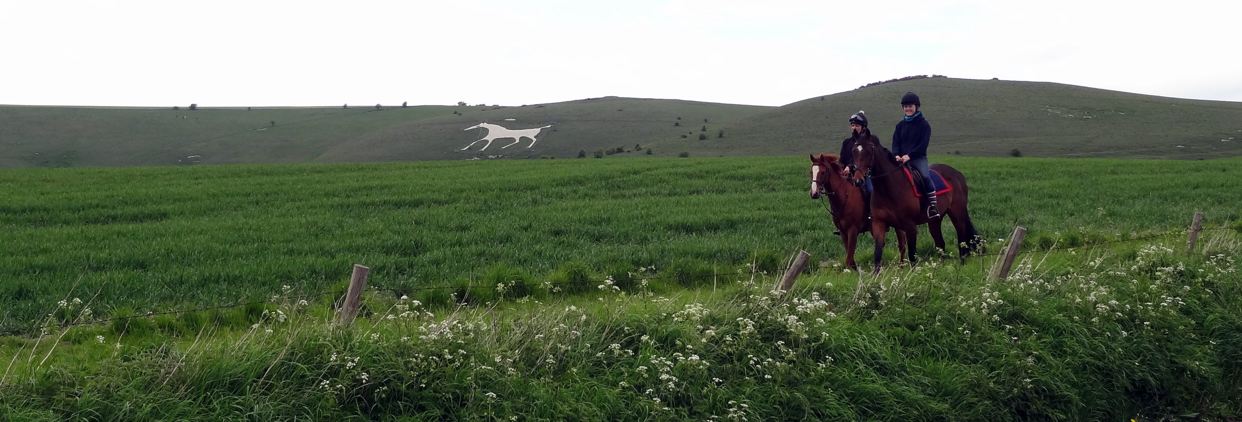
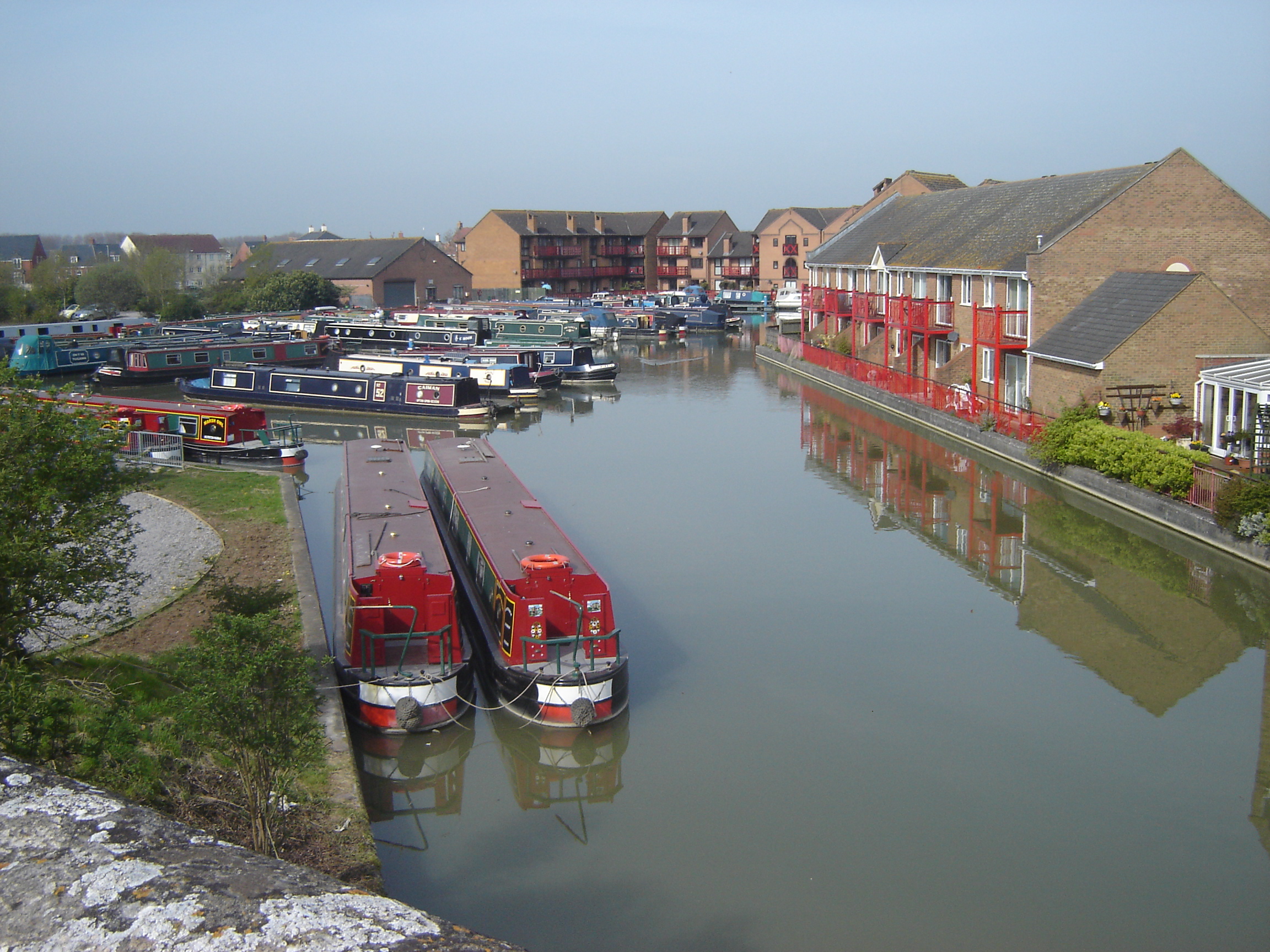
The Thames crossing between Goring and Streatley is a natural milestone on the route. It's the part where the Ridgeway is at its lowest elevation and a good place to stop for a break. This was where I met Timi and my mum, my Ultra support crew. They had planned to meet me a couple of times through the afternoon but ended up following me right through to the end.
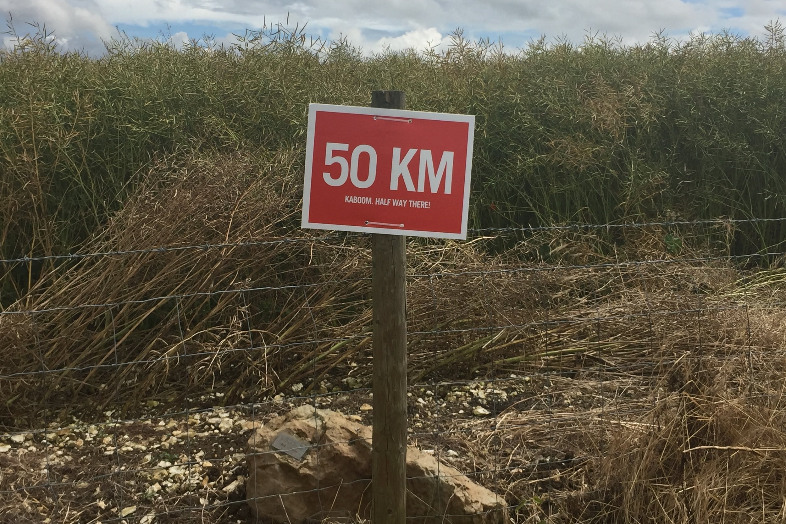
After Streatley the going got a bit tougher as the sun got stronger and the trail climbed up away from the Thames. My pace slowed but I'd build in some contingency around the checkpoints so I was able to stick to a 13 minute mile average pace.
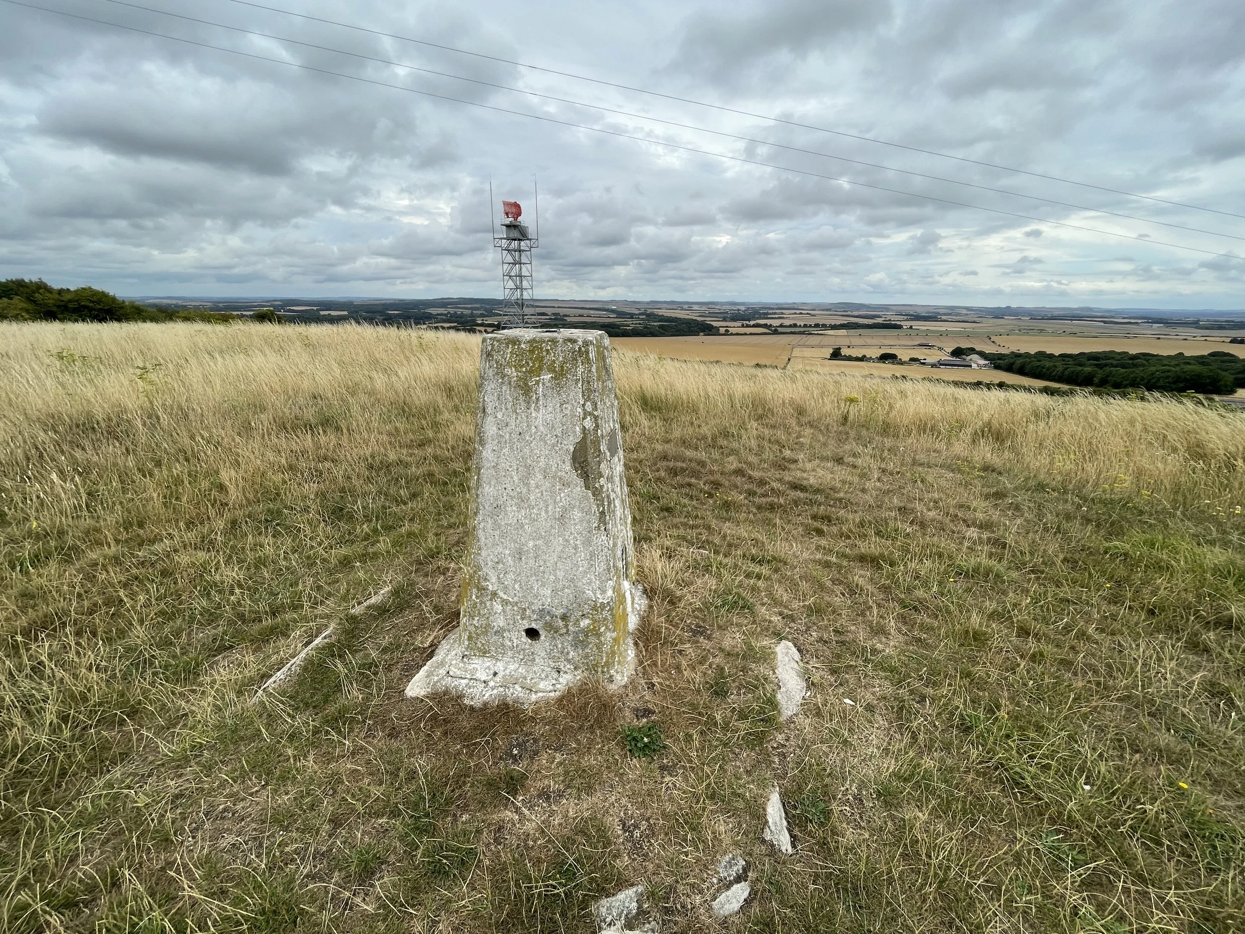
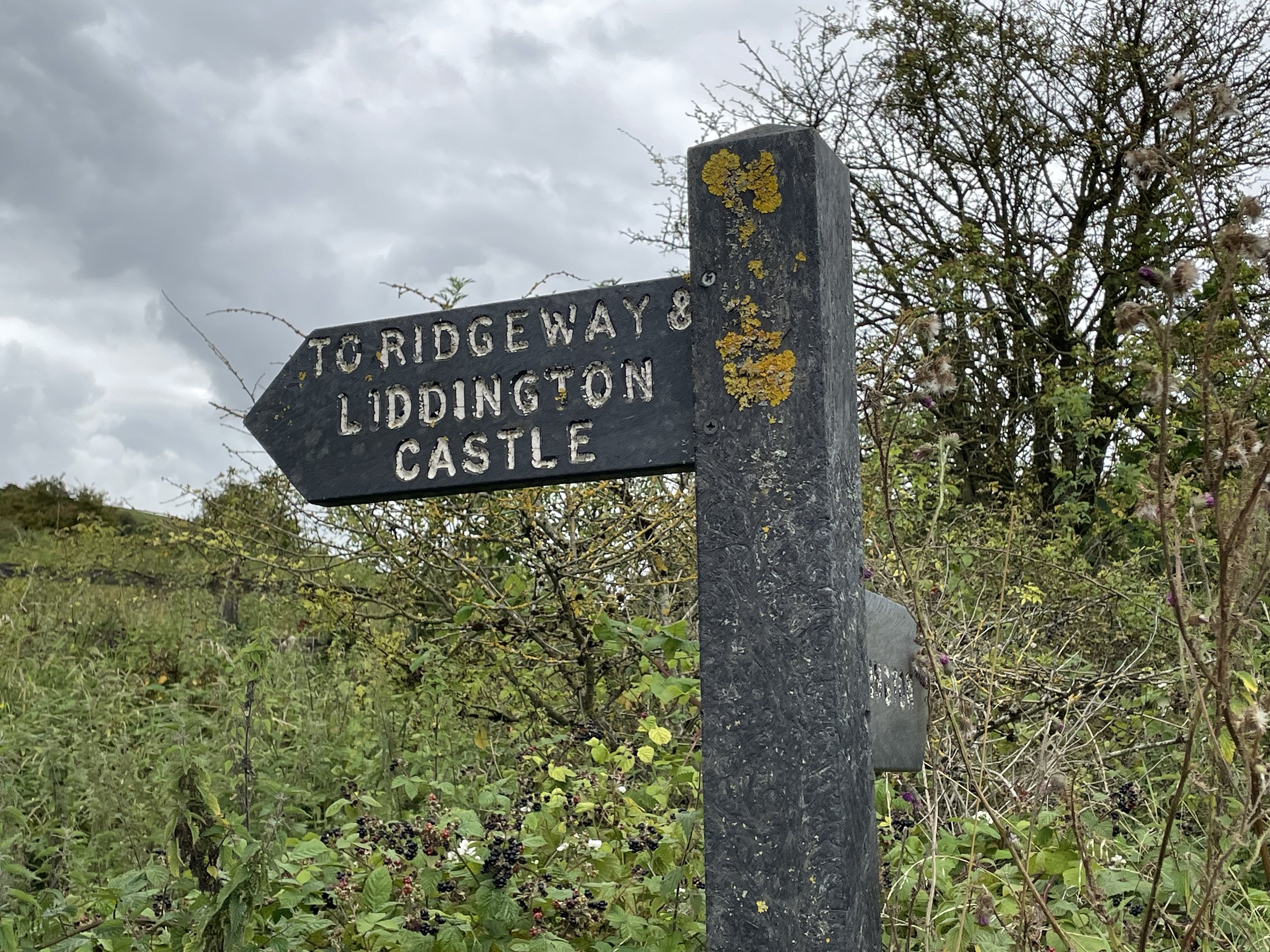
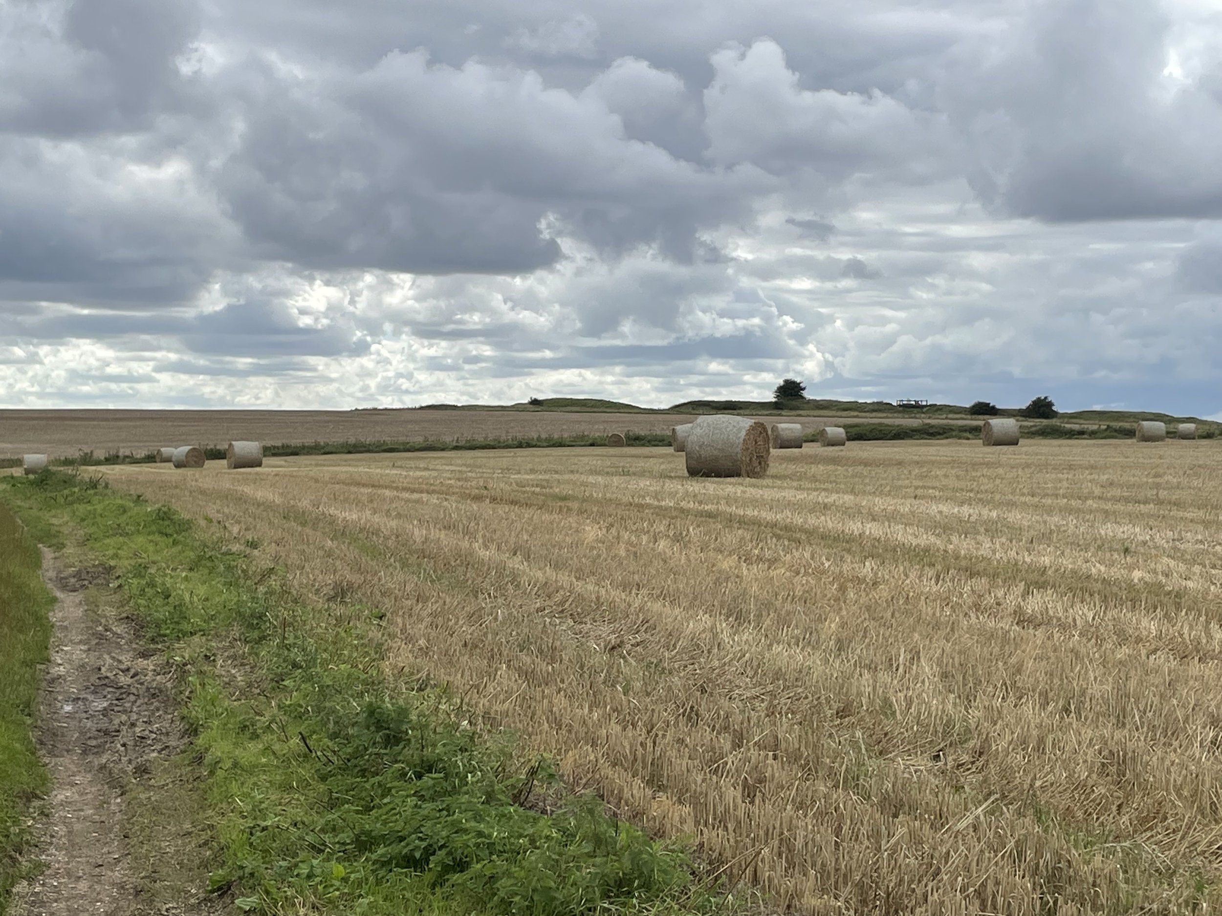
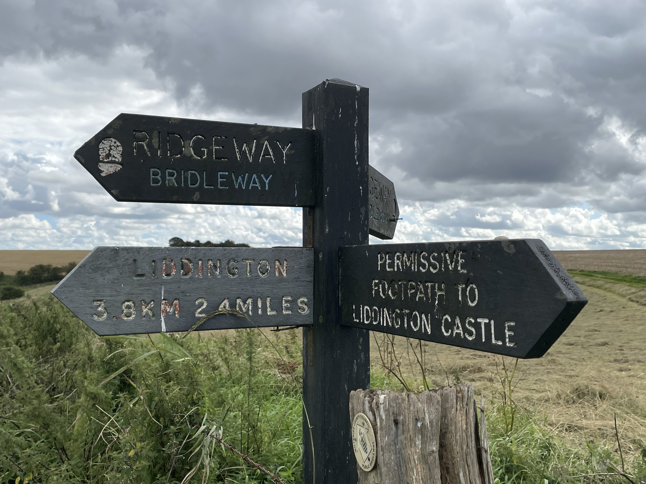
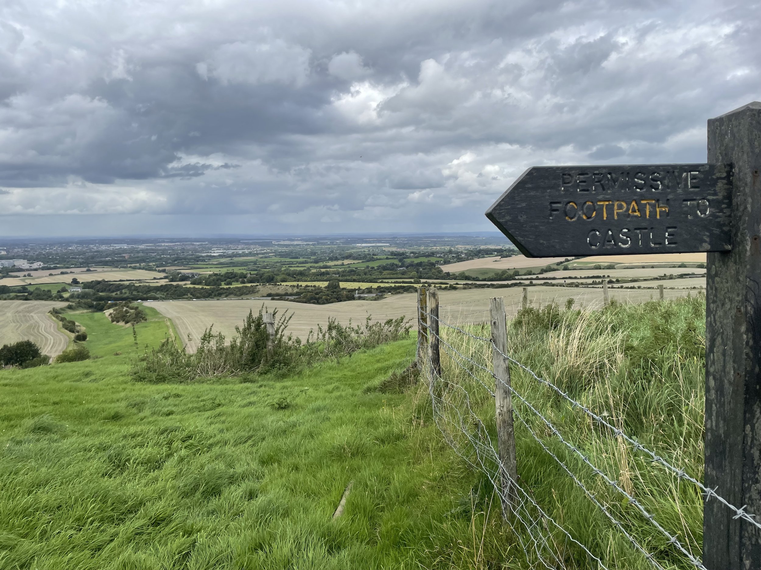
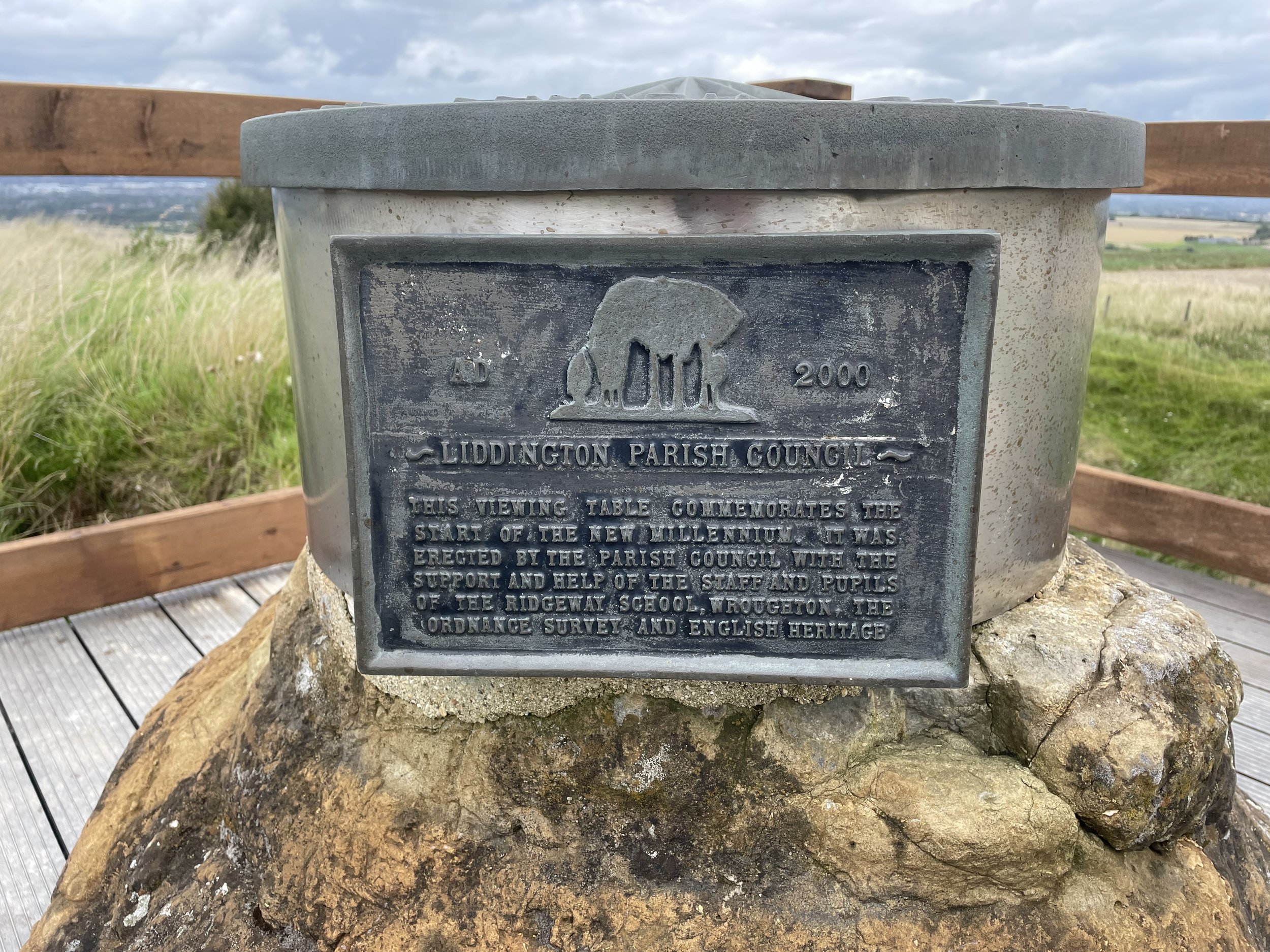
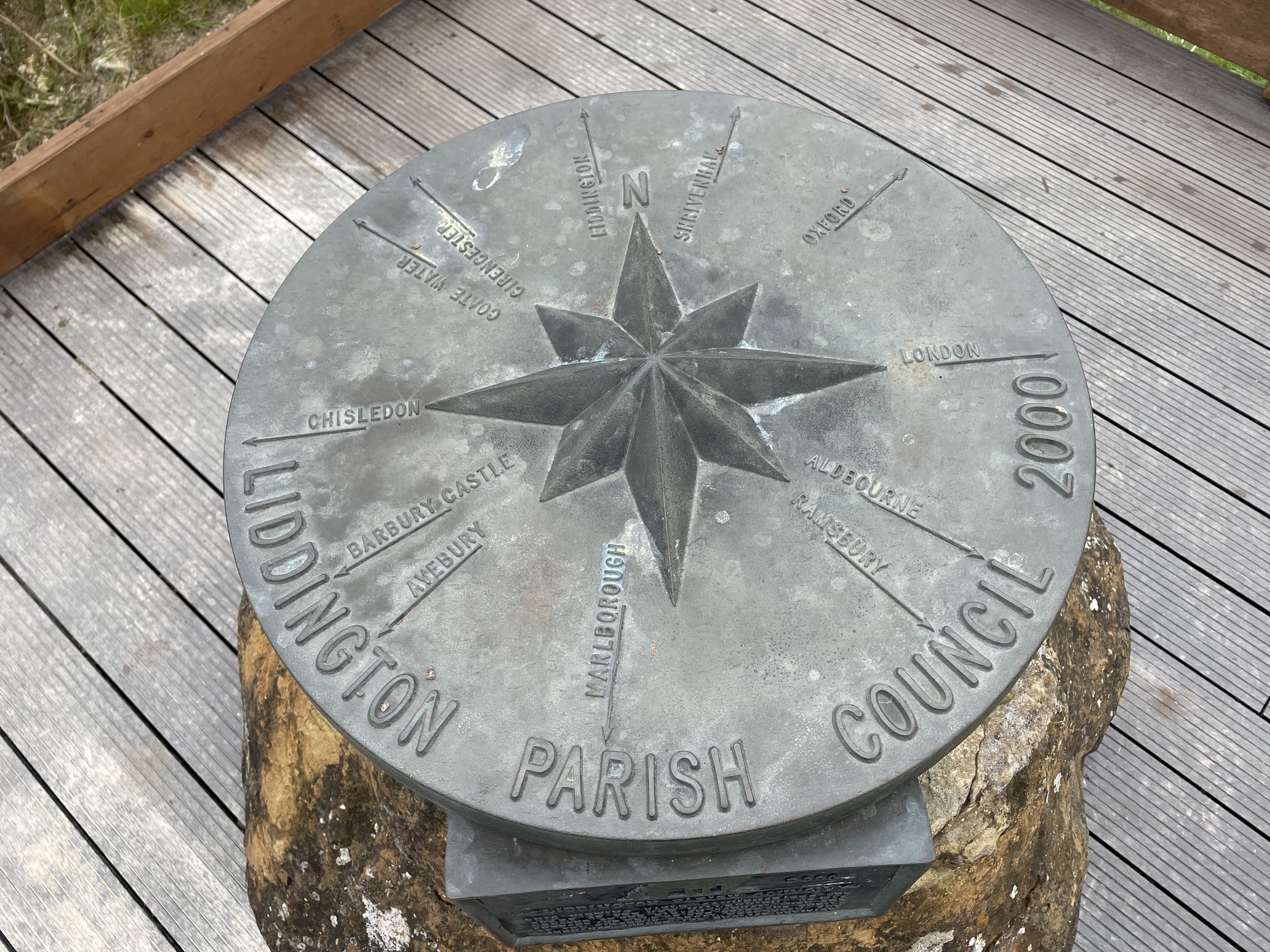
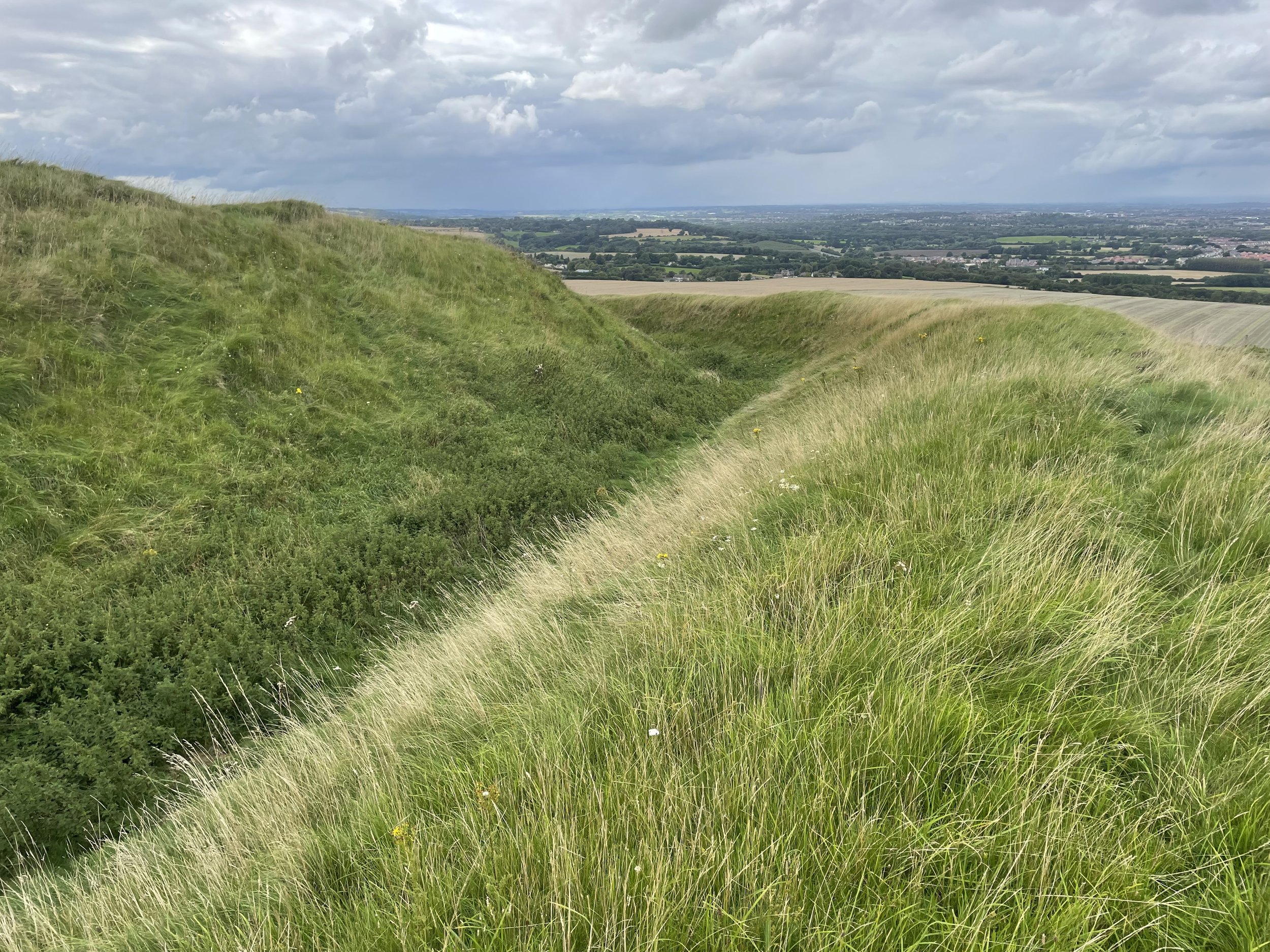
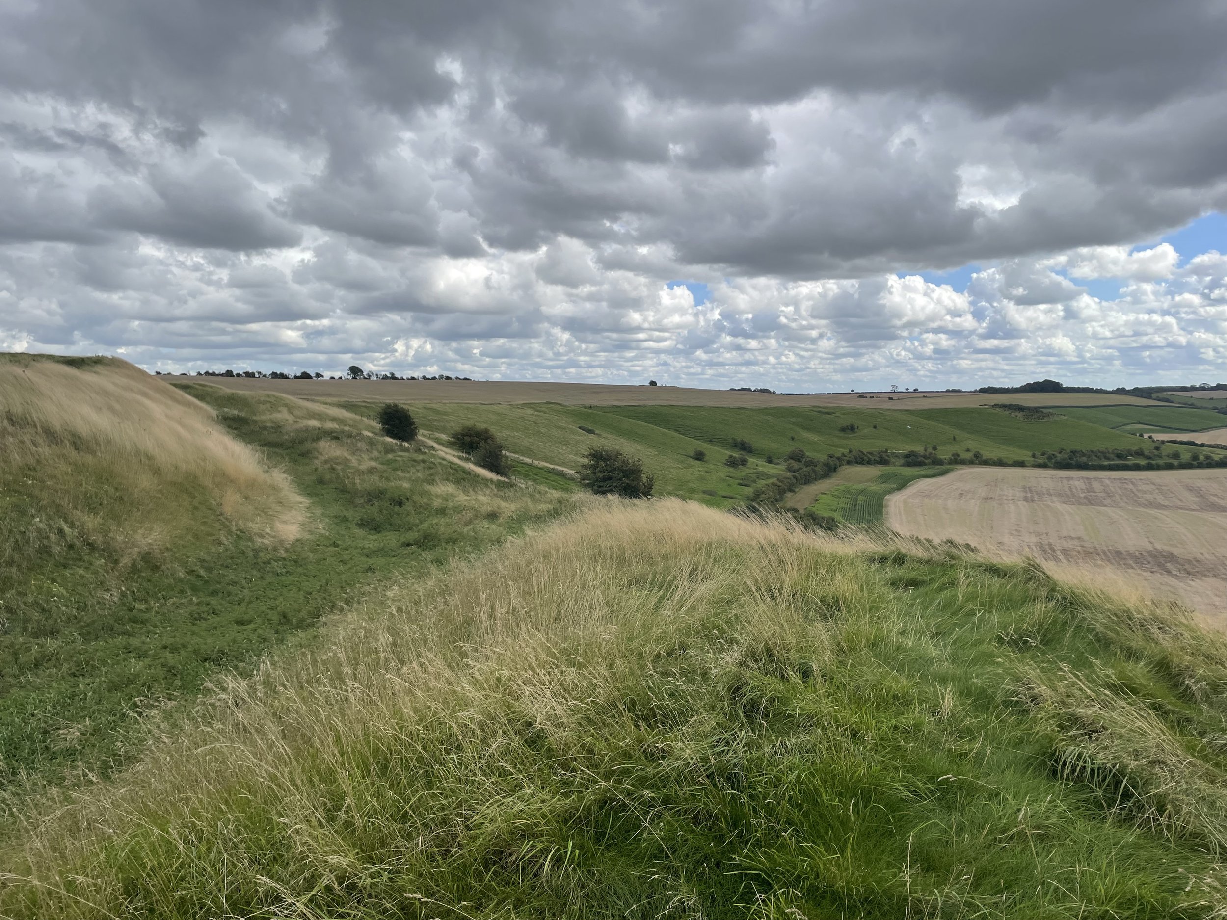
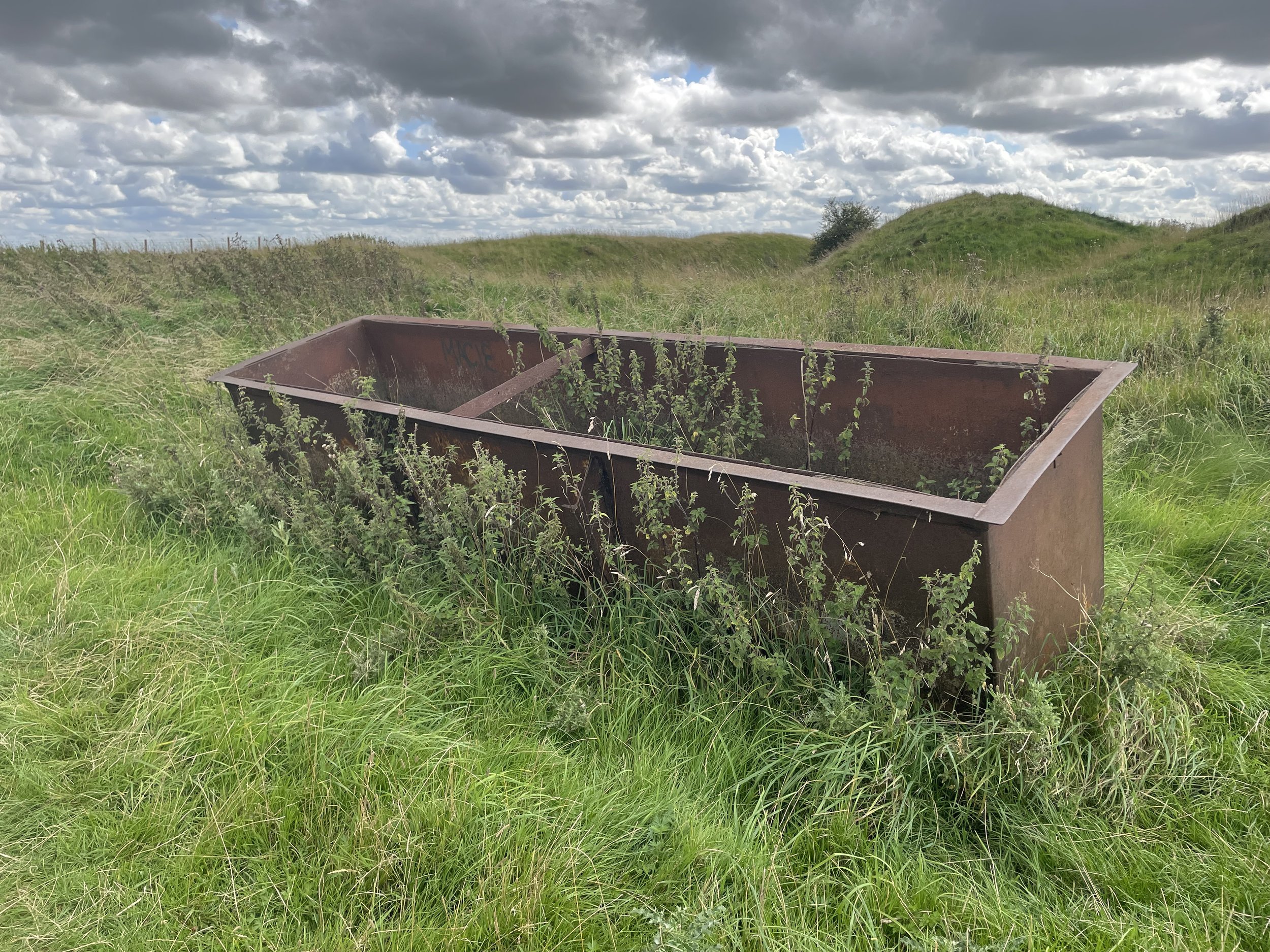
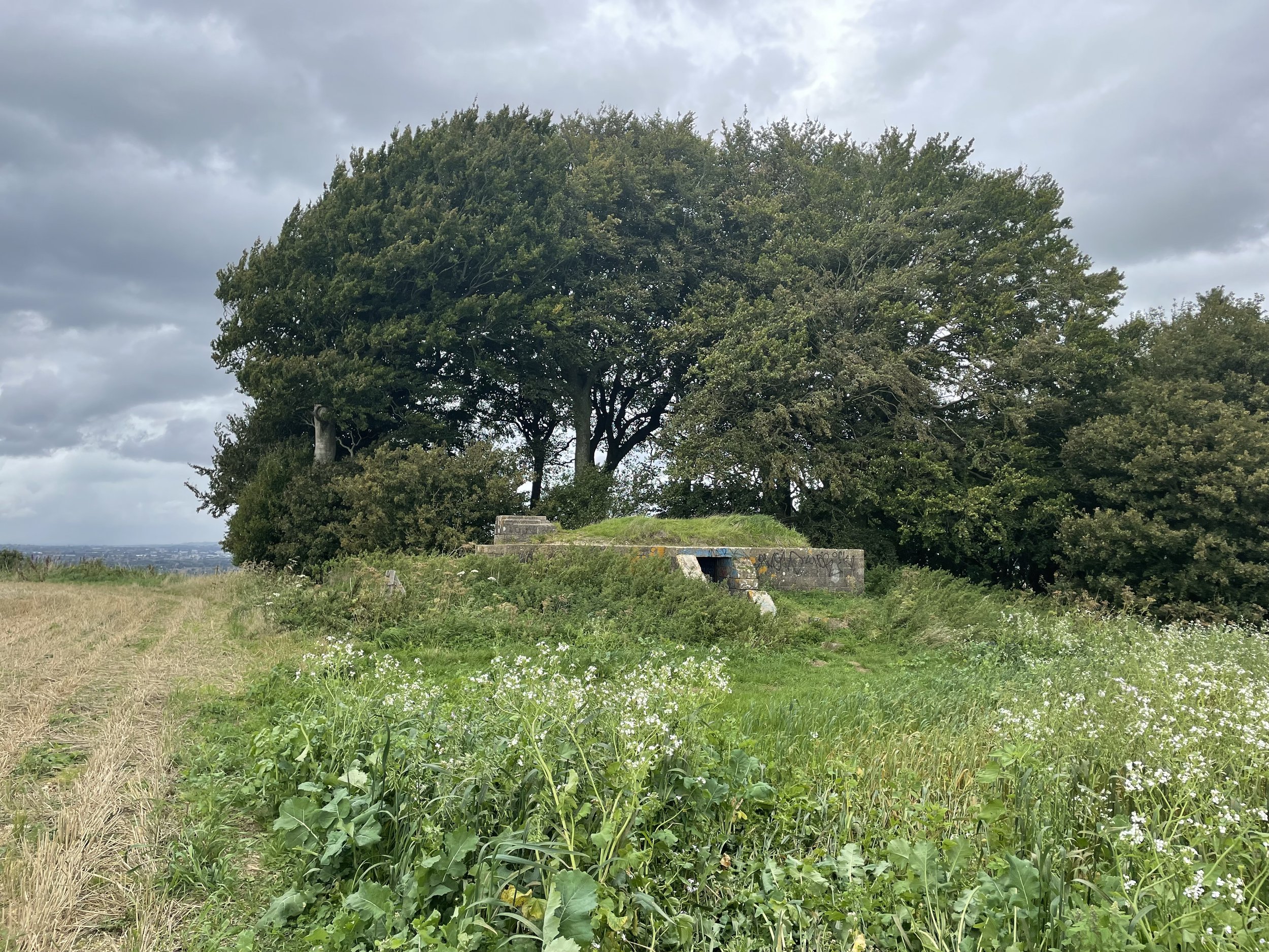
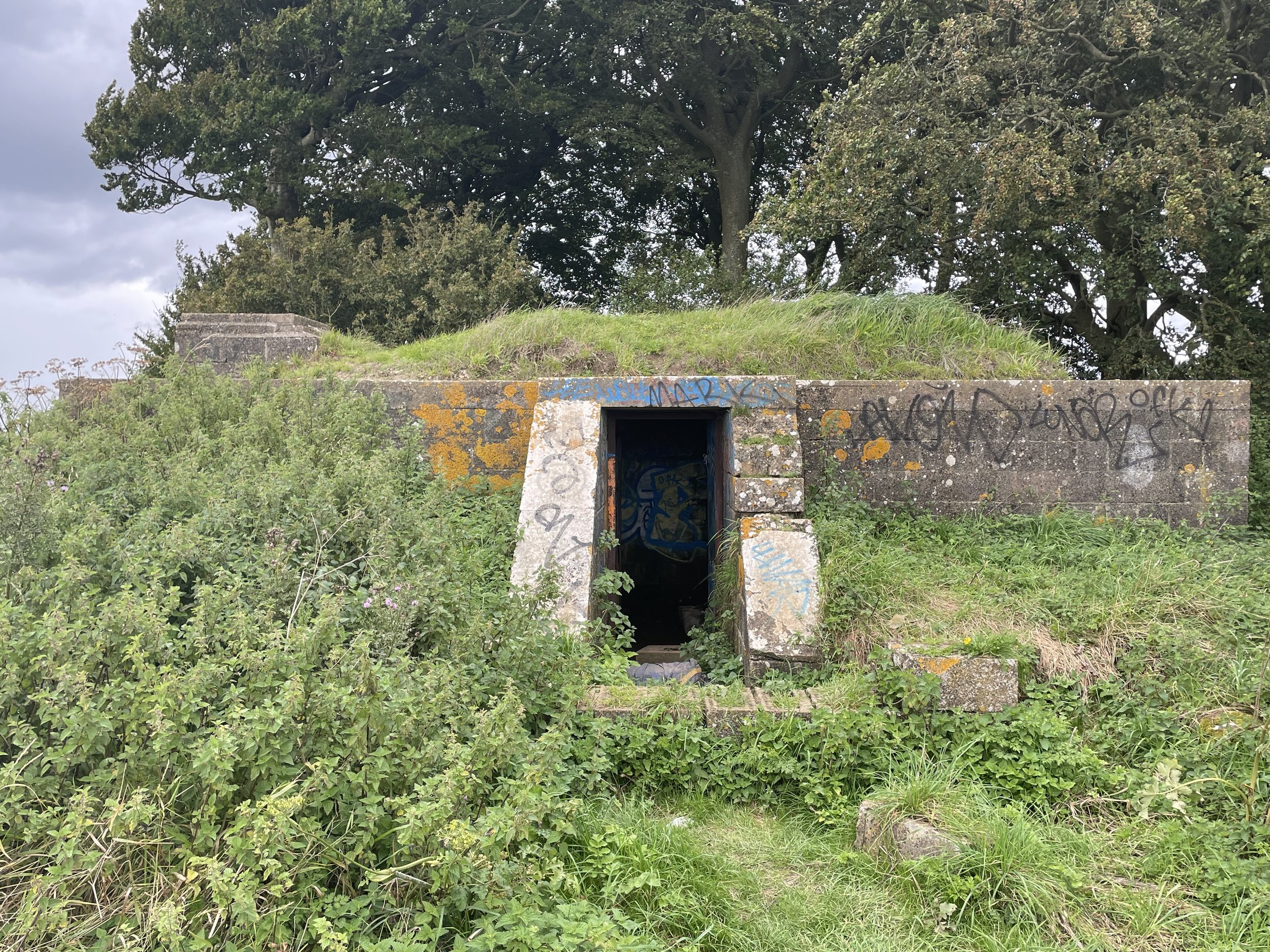
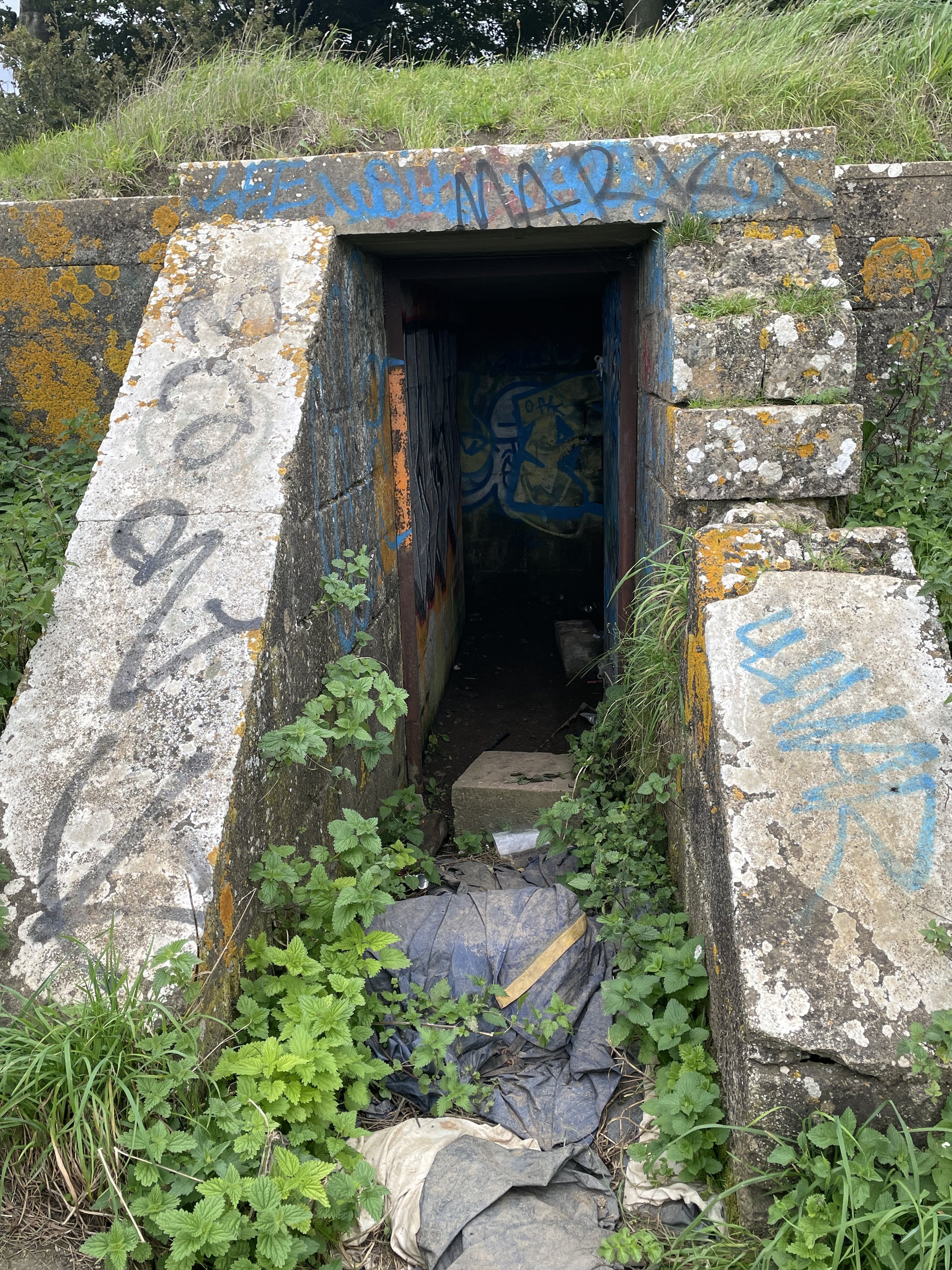
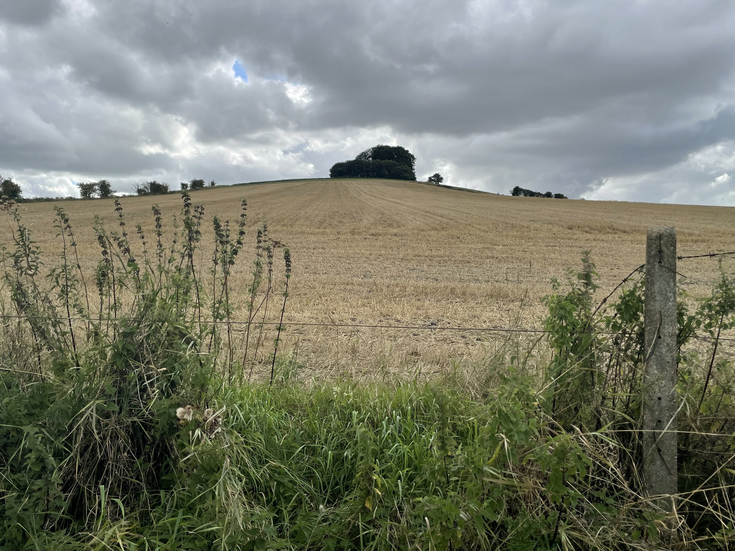
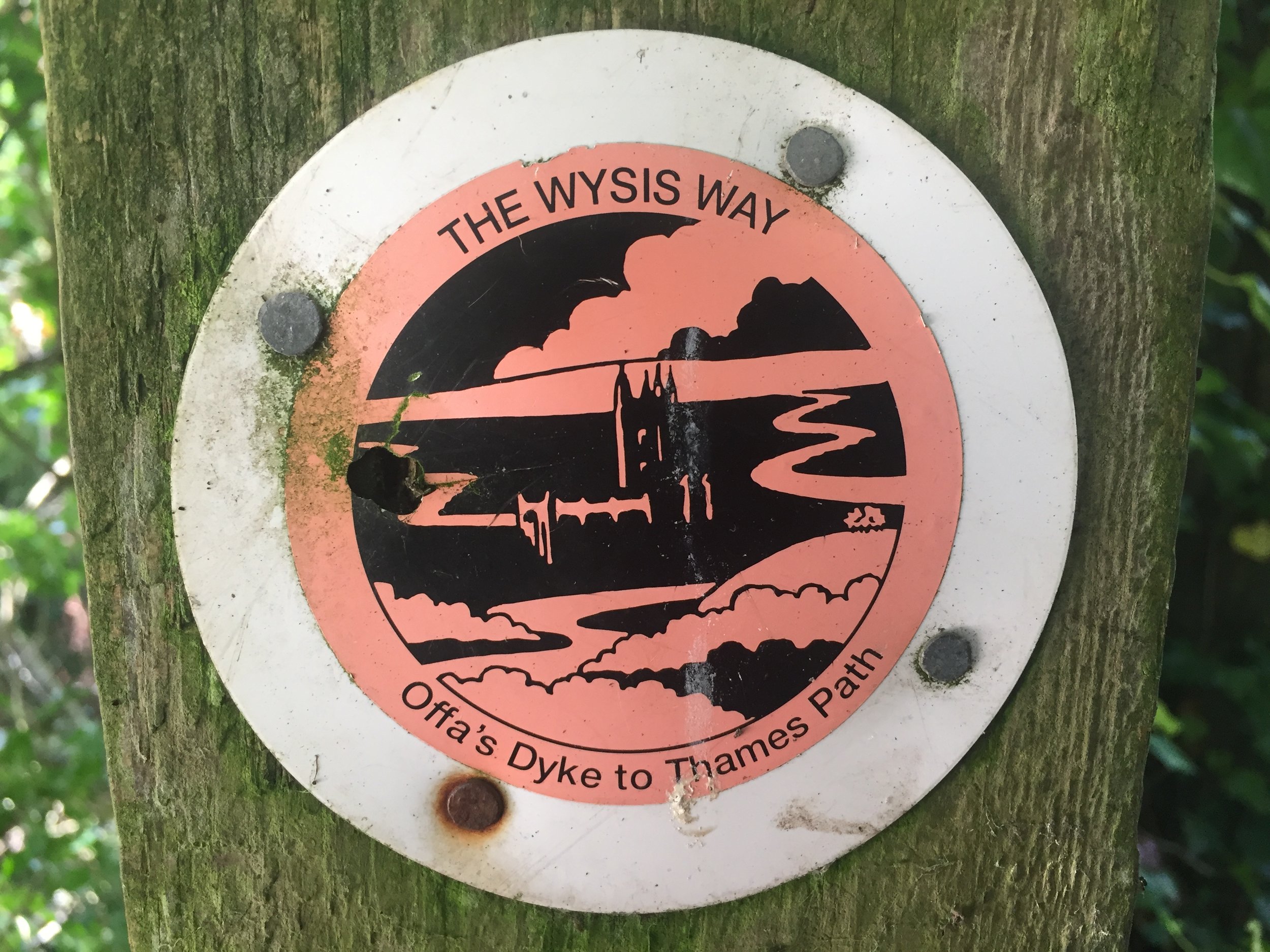
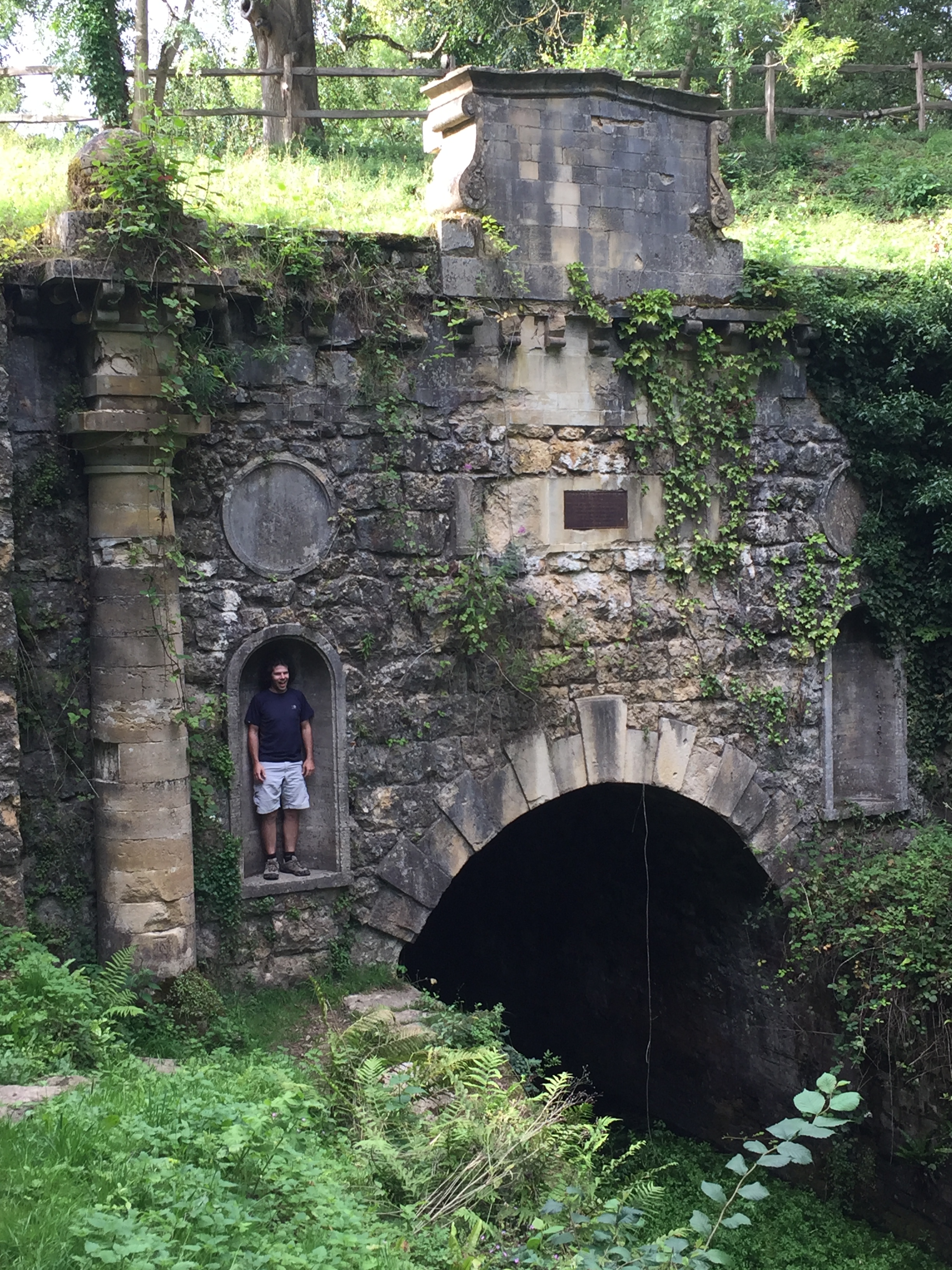
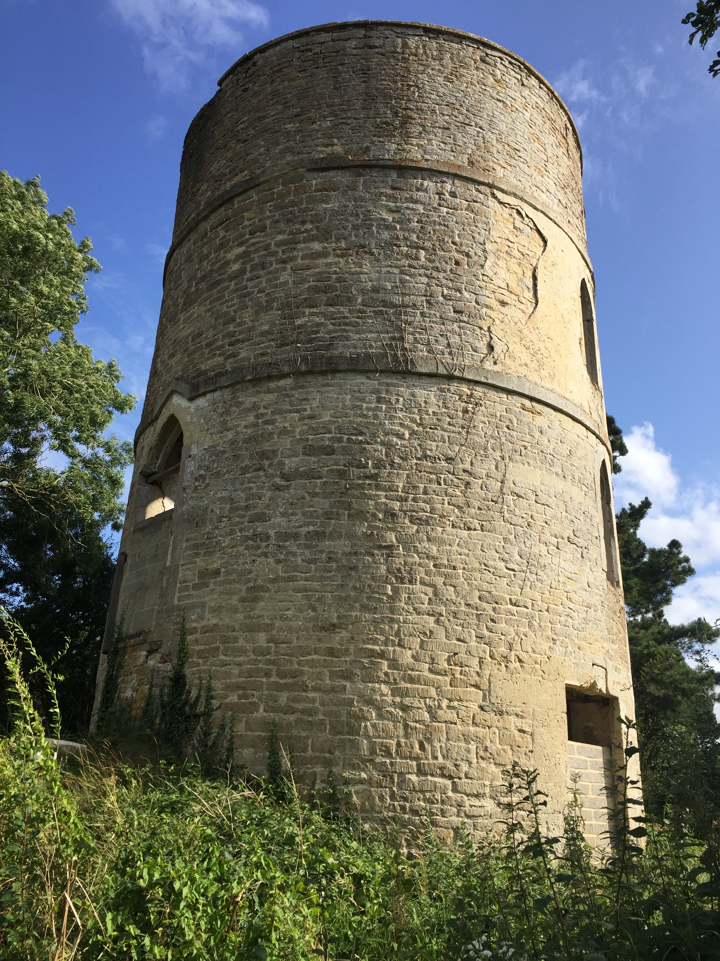
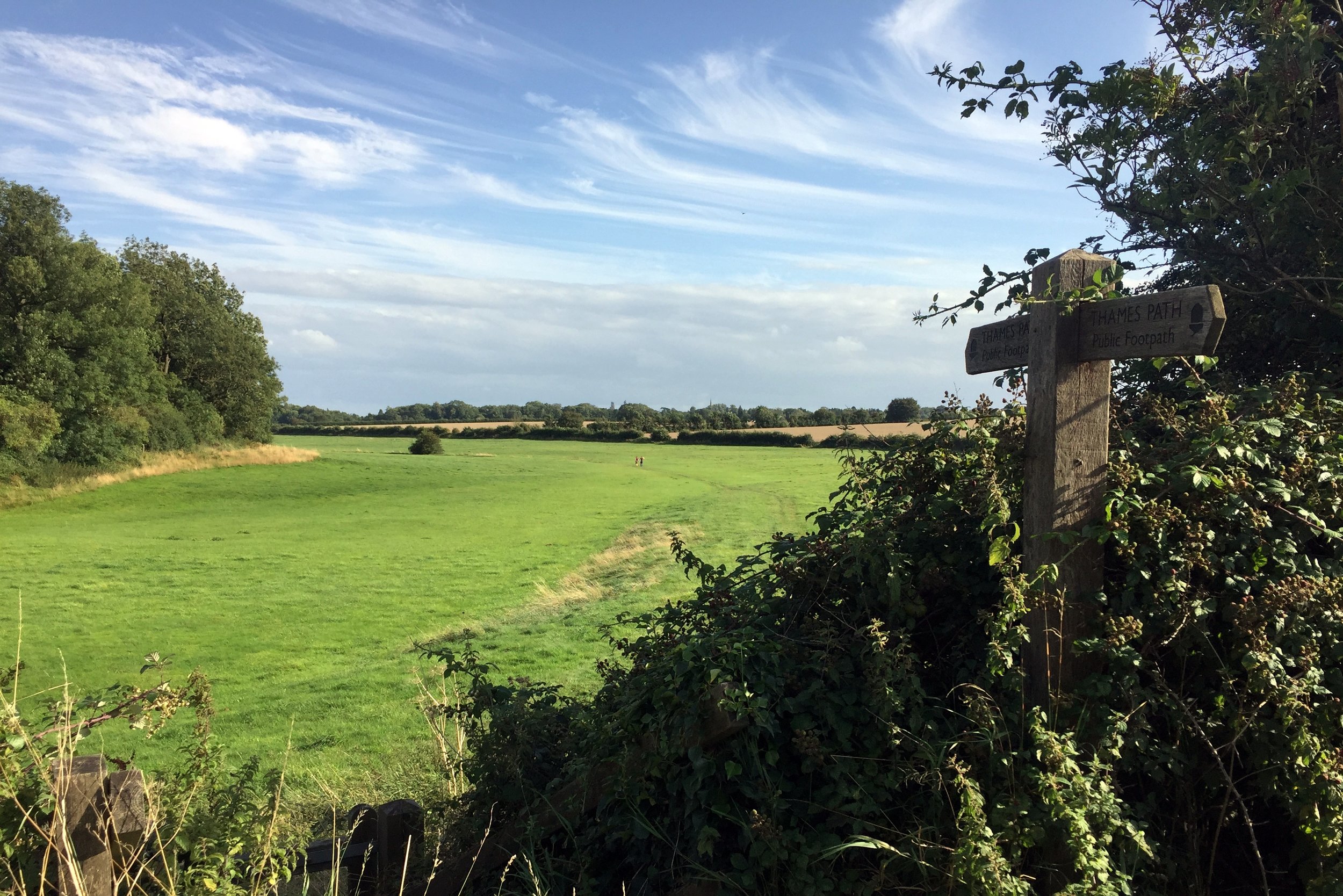
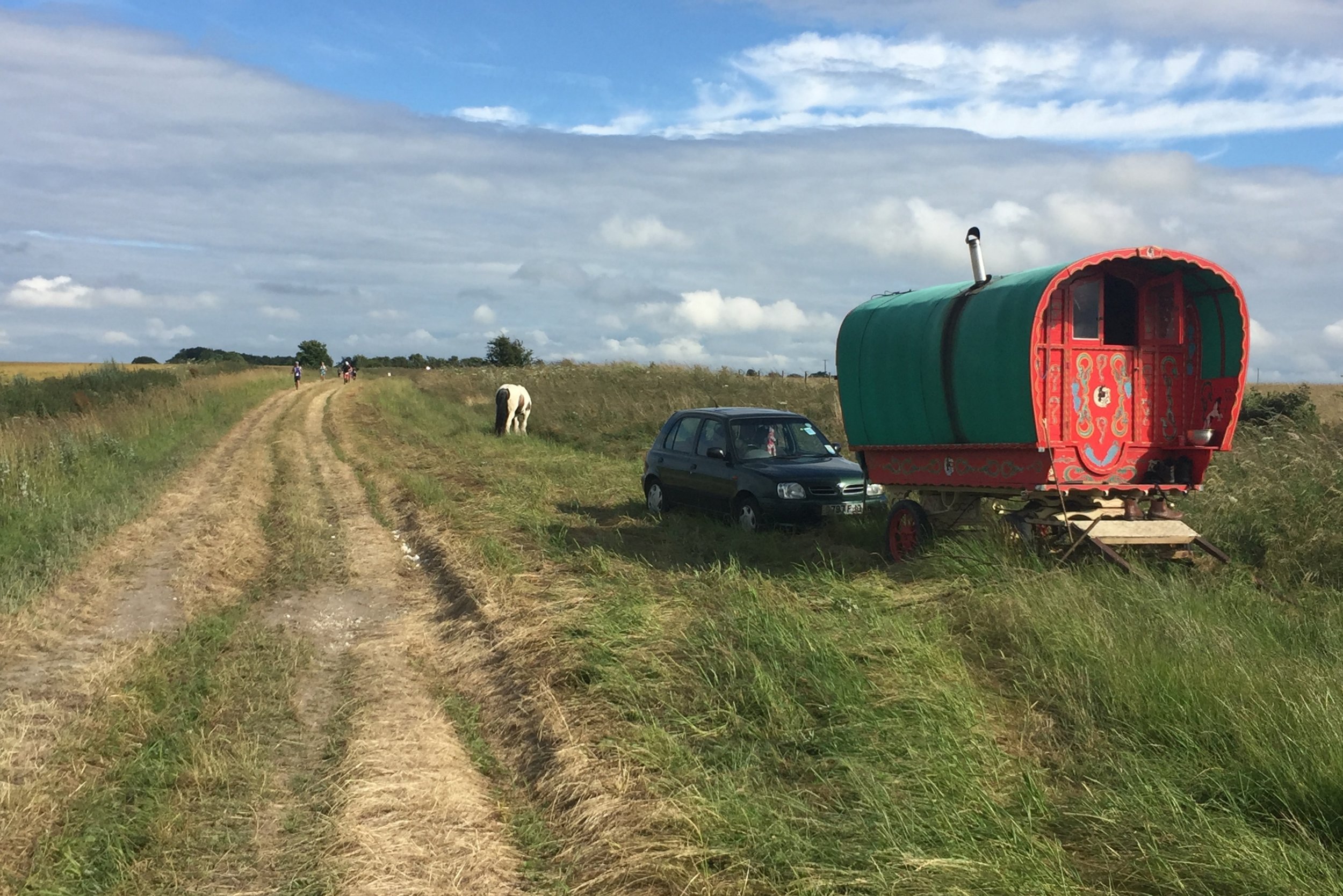
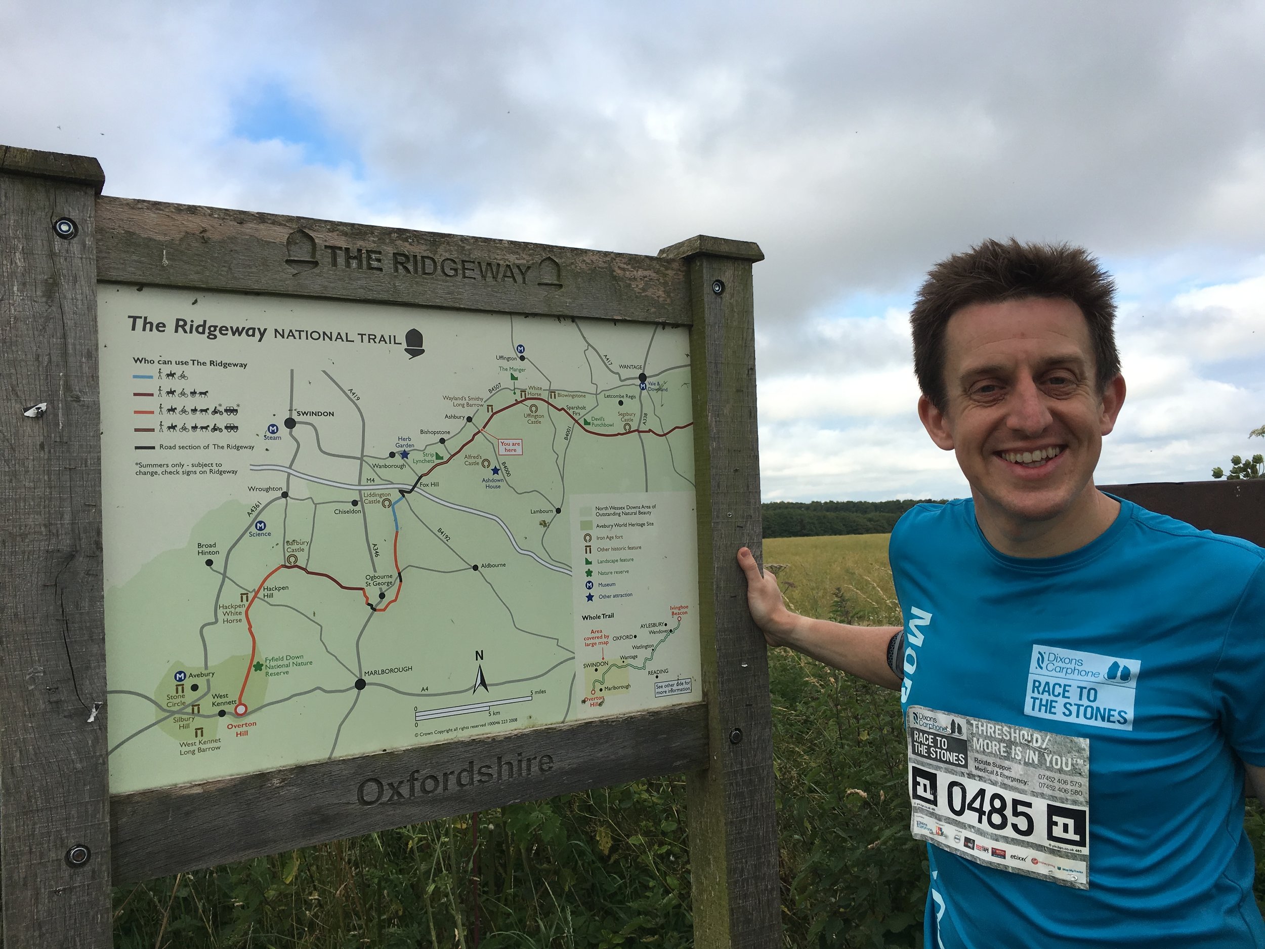
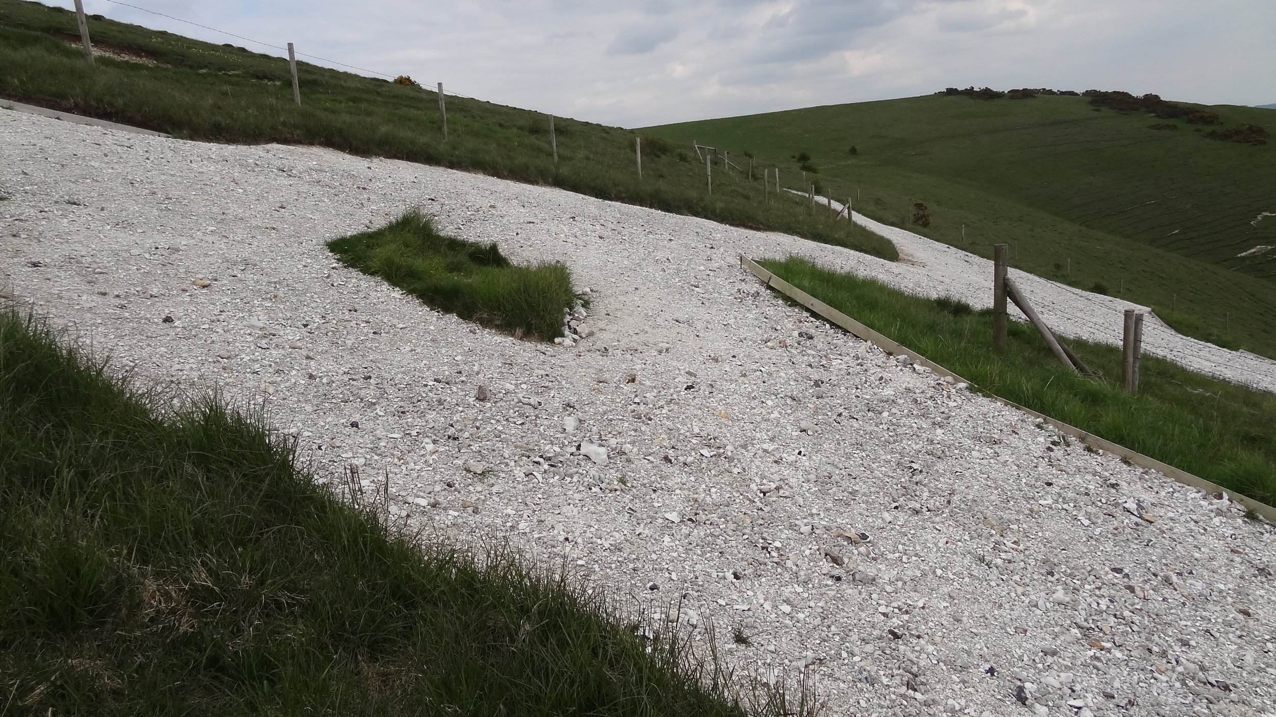
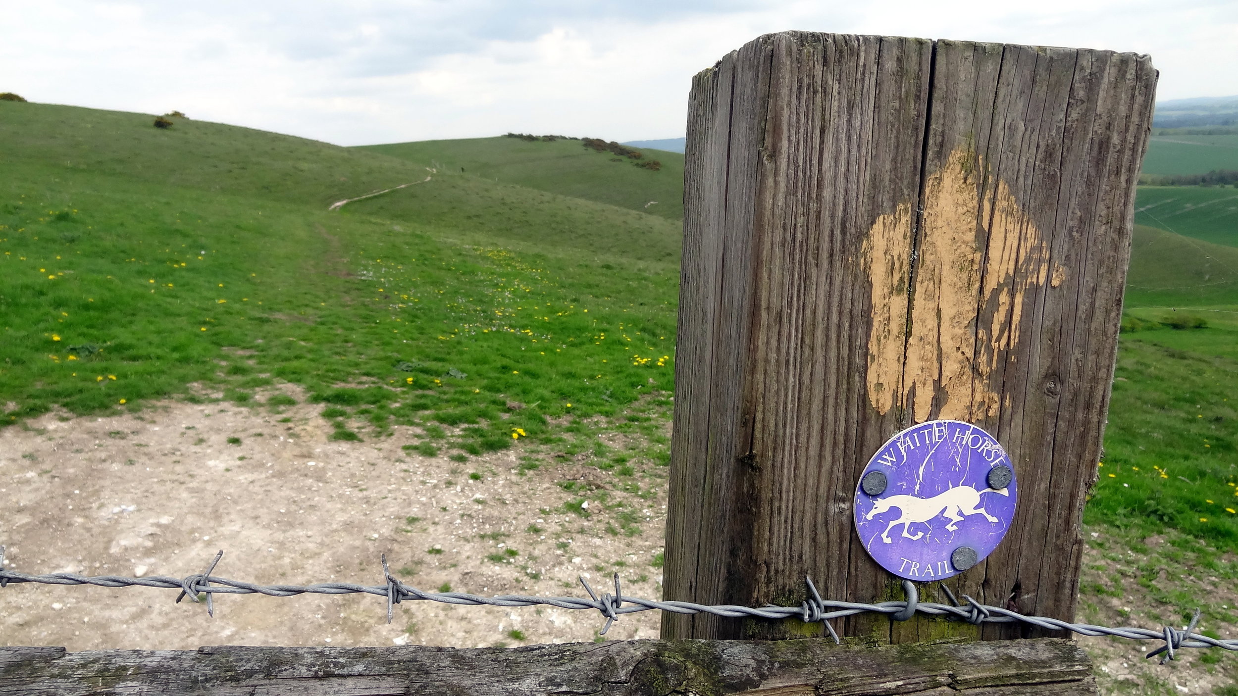
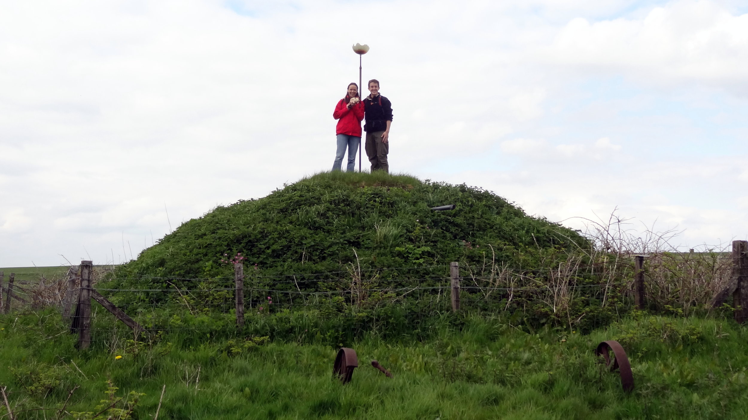
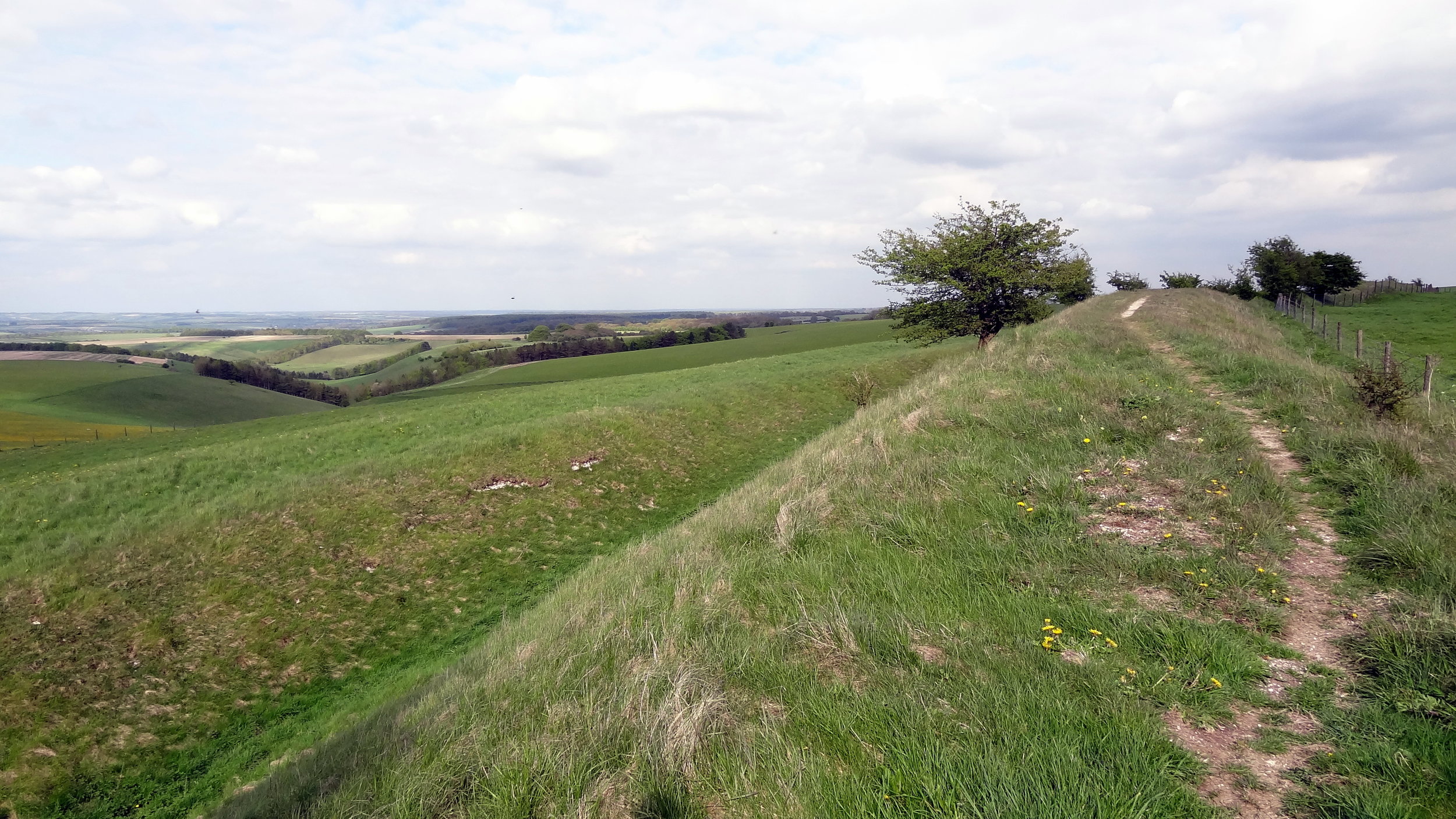
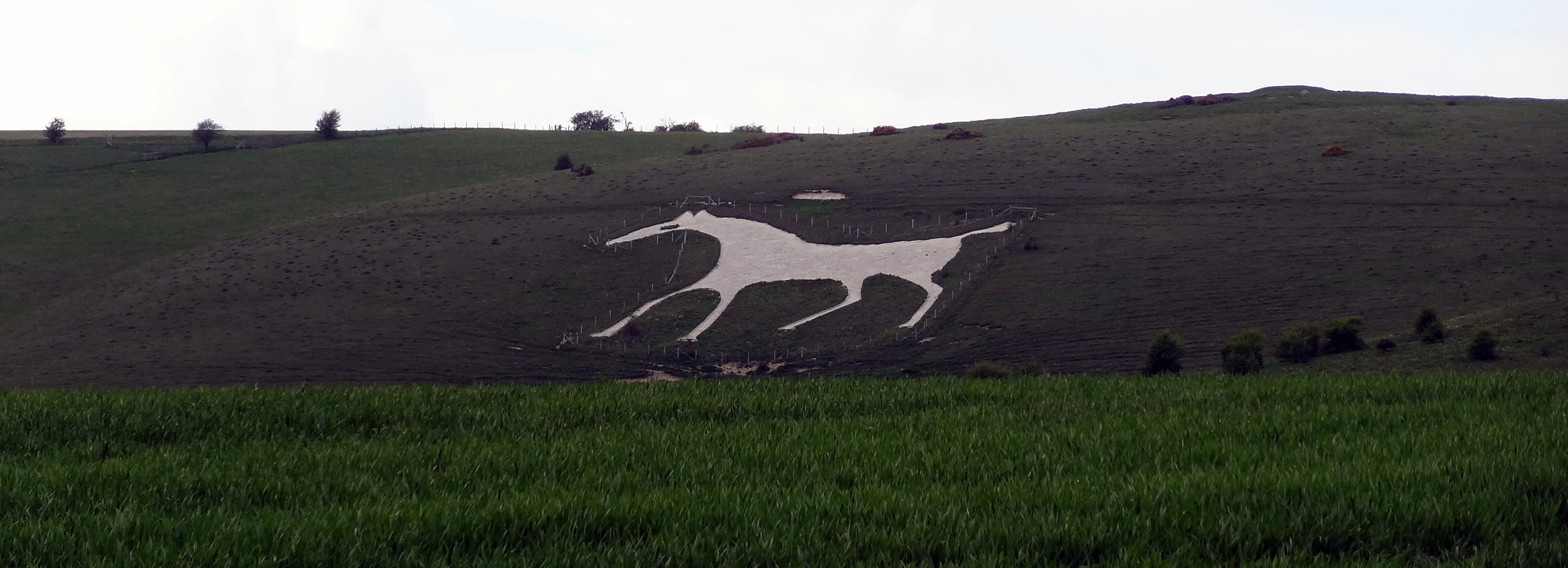
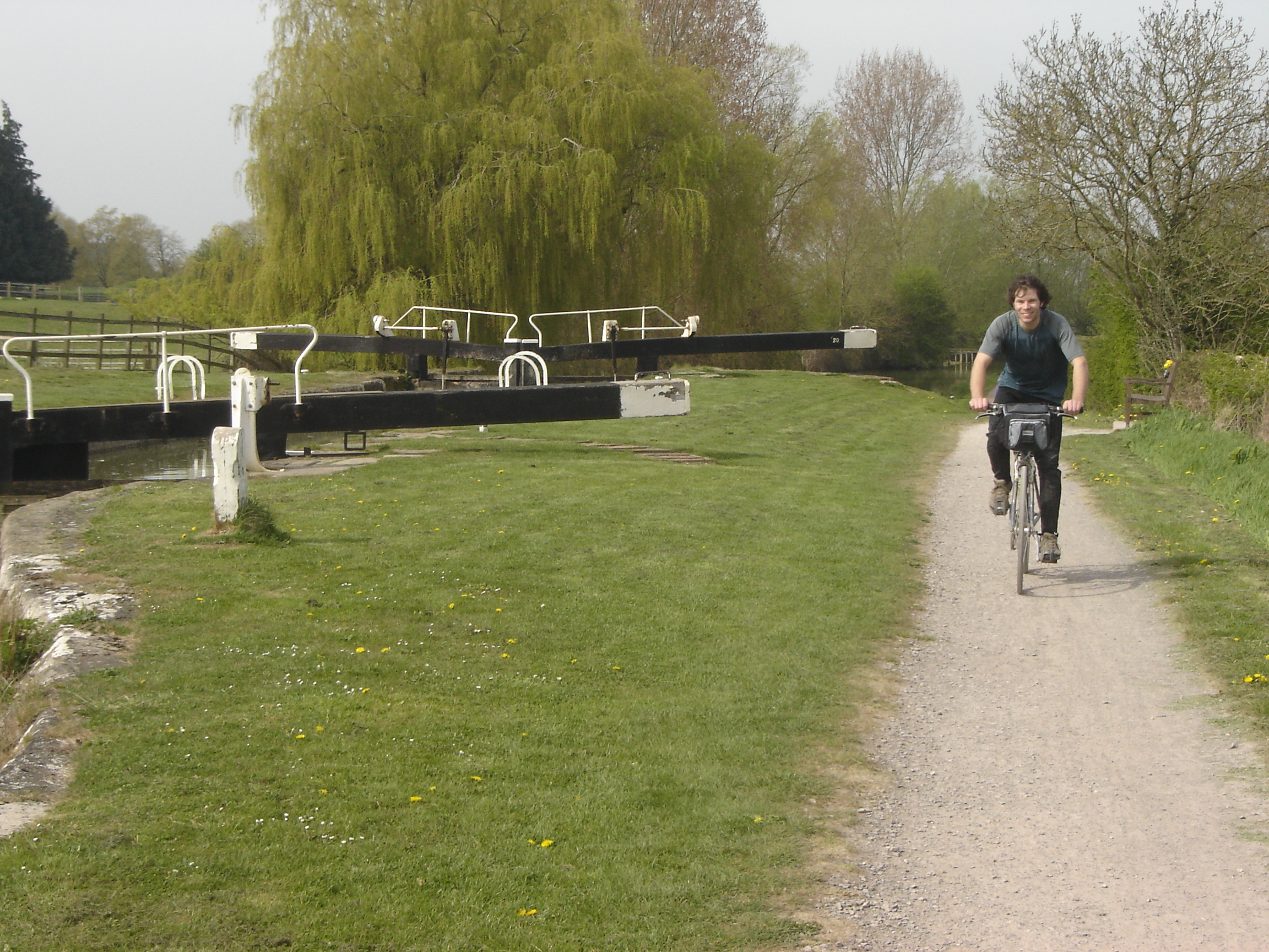
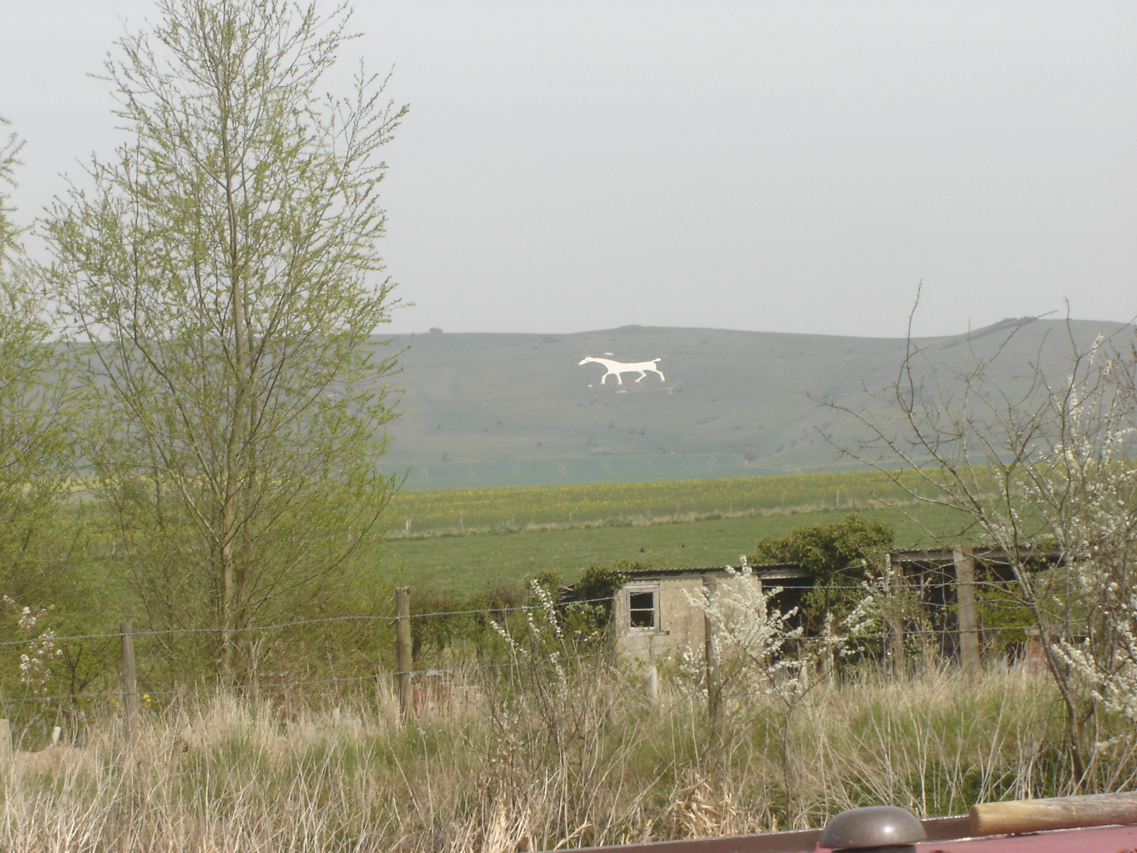
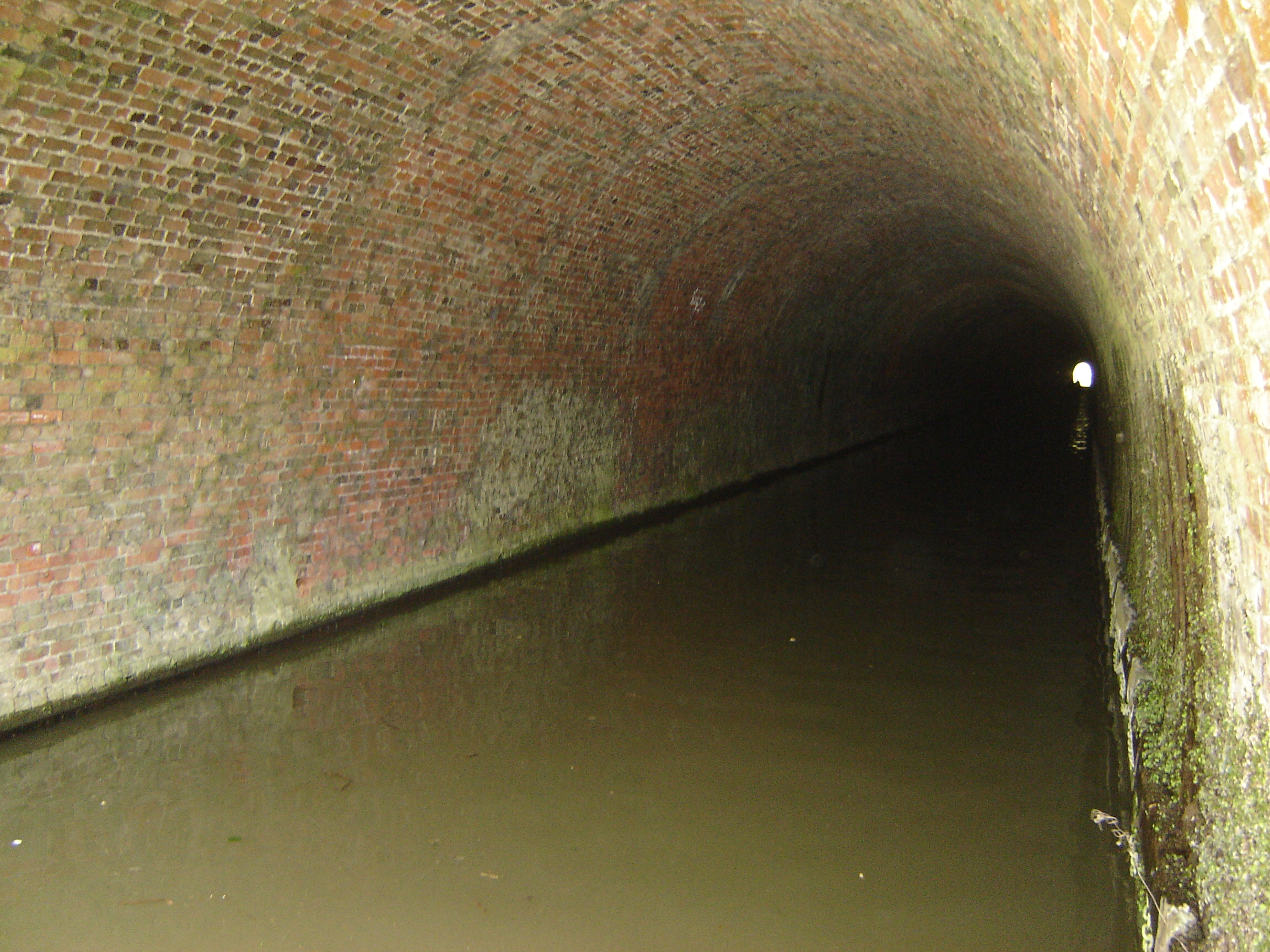
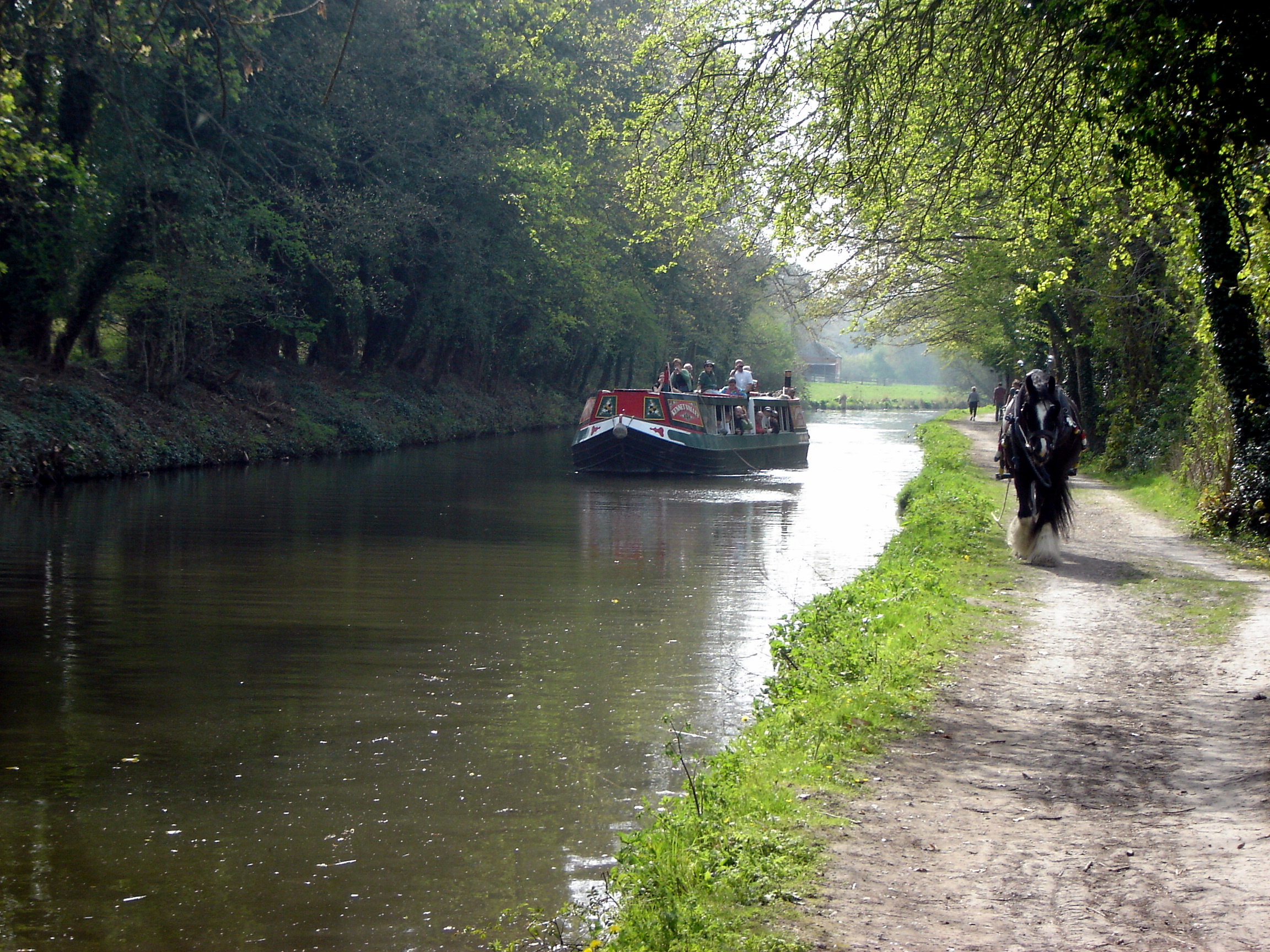
My rule of running new events rather than repeating old ones means that I get to see a lot of the countryside. As a location the Ridgeway is hard to beat. It's an ancient trail cutting through the Chilterns and North Downs passing beautiful villages, Iron Age Forts and Neolithic Burial Grounds. As with LEJOG, my last long distance event, I filled many hours making mental lists of places to come back to for a closer look.
By 21:00 I was approaching the 51 mile point where I'd agreed to meet Timi and Mum. The hill down to Ogbourne St George seemed to go on forever and I was slowing to 16 minute miles. Timi fed me a pasty and I turned on my head torch, ready for the night shift. For a lot of the day I'd alternated between listening to Podcasts and processing the random life thoughts that I now had enough time to work through. By the time I'd turned on my head torch my iPod battery was empty, as was my head. I'd got into a zen-like trance just focusing on the task at hand. My only thoughts were on the road surface ahead, my speed, cars and runners around me and was I taking on enough food and water.
By the final Pitstop there was less than 10k to go, but it was a long slog as I was down to around 3 miles per hour. Timi and Mum met me again at another car park just 2 miles from the Pitstop. I'd got really cold in those 2 miles, so the extra layer they gave me at the car park really helped.
The final 5k was especially tough. It was a long steep hill that eventually descended to the finish line at Avebury. It was also pitch black and foggy with visibility down to just a few metres. From the highest point I could just see the lights at the farm where the finish point was. By then I was feeling a bit dizzy and the path was really rutted so it was all I could do to keep upright. I could have quite happily have just laid down in the field and slept until morning.
At the bottom of the hill the course teases you. The route takes you into the stone circle in the middle of Avebury village then back up the same route before turning off toward the finish line for the final 1k. This means that you have to pass the final turn on the way to the village and deal with the temptation of cutting off a kilometre. As tired as I was, the completer-finisher in me kept me on track and I got my official photo by the standing stones.
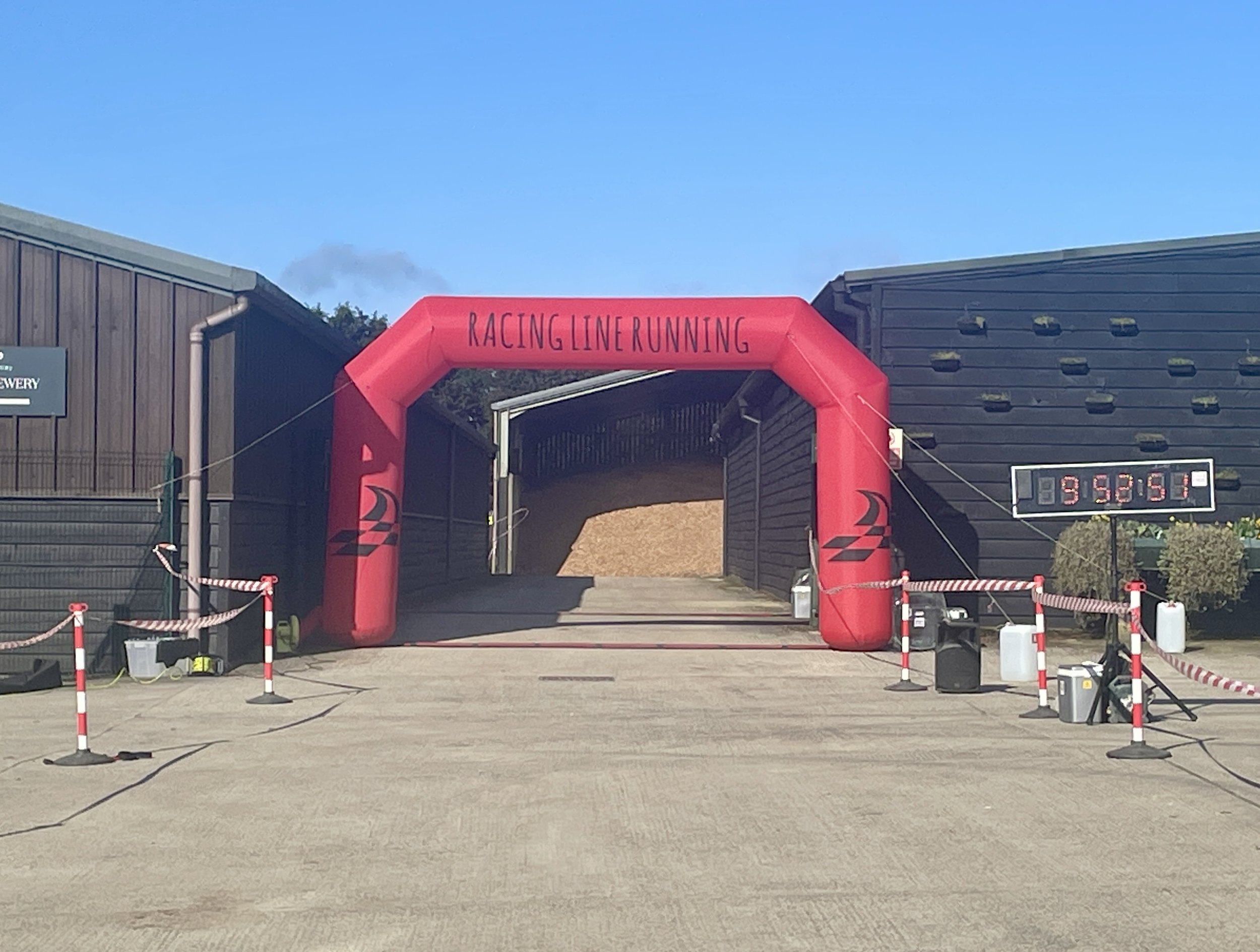
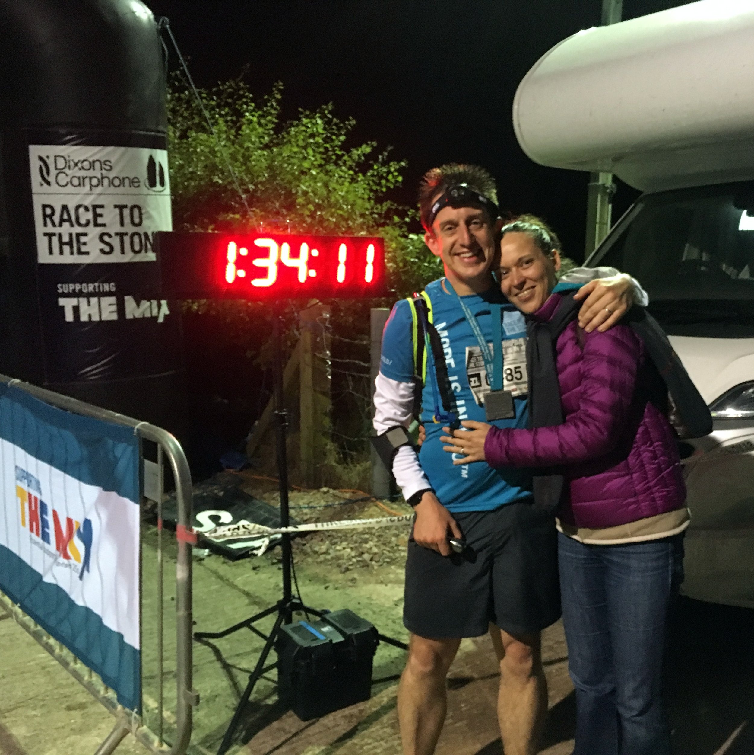
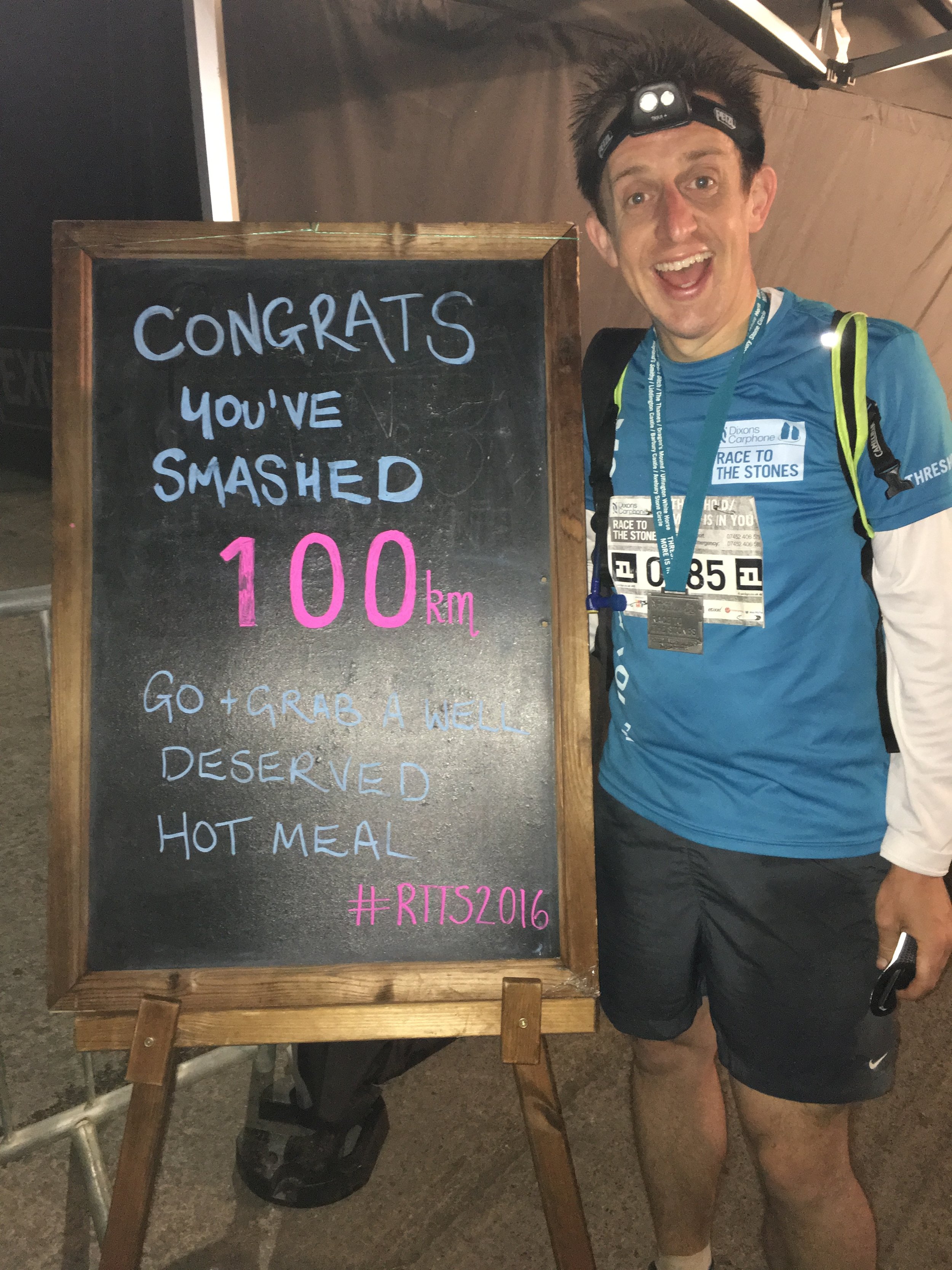
Running back out of Avebury village you pass the runners who are running in, 10 minutes behind you. You also get a good view of the head torches equally spaced out, coming down the hill like stacked planes coming into Heathrow. At the final turn its 400 metres to go and a straight path to the finish. I found a bit more energy and ran the final 200 metres in. It was 01:34 and 17.5 hours from the start line.
My biggest surprise was how I felt at the end. In the early days of running I often felt a wave of emotion at the end of a big event. I would also take several days to recover. Despite this being my longest running event by a considerable distance, the feeling after was very different. I just felt Awesome. No big wave of emotion, just a feeling of joy and the tiredness suddenly vanishing at the Finish Line. I didn't even feel sore the next day. My main emotion was a feeling of calm, having cracked something that I wouldn't have thought possible before I started running less than 10 years ago. This will be a day that I'll remember for a very long time.