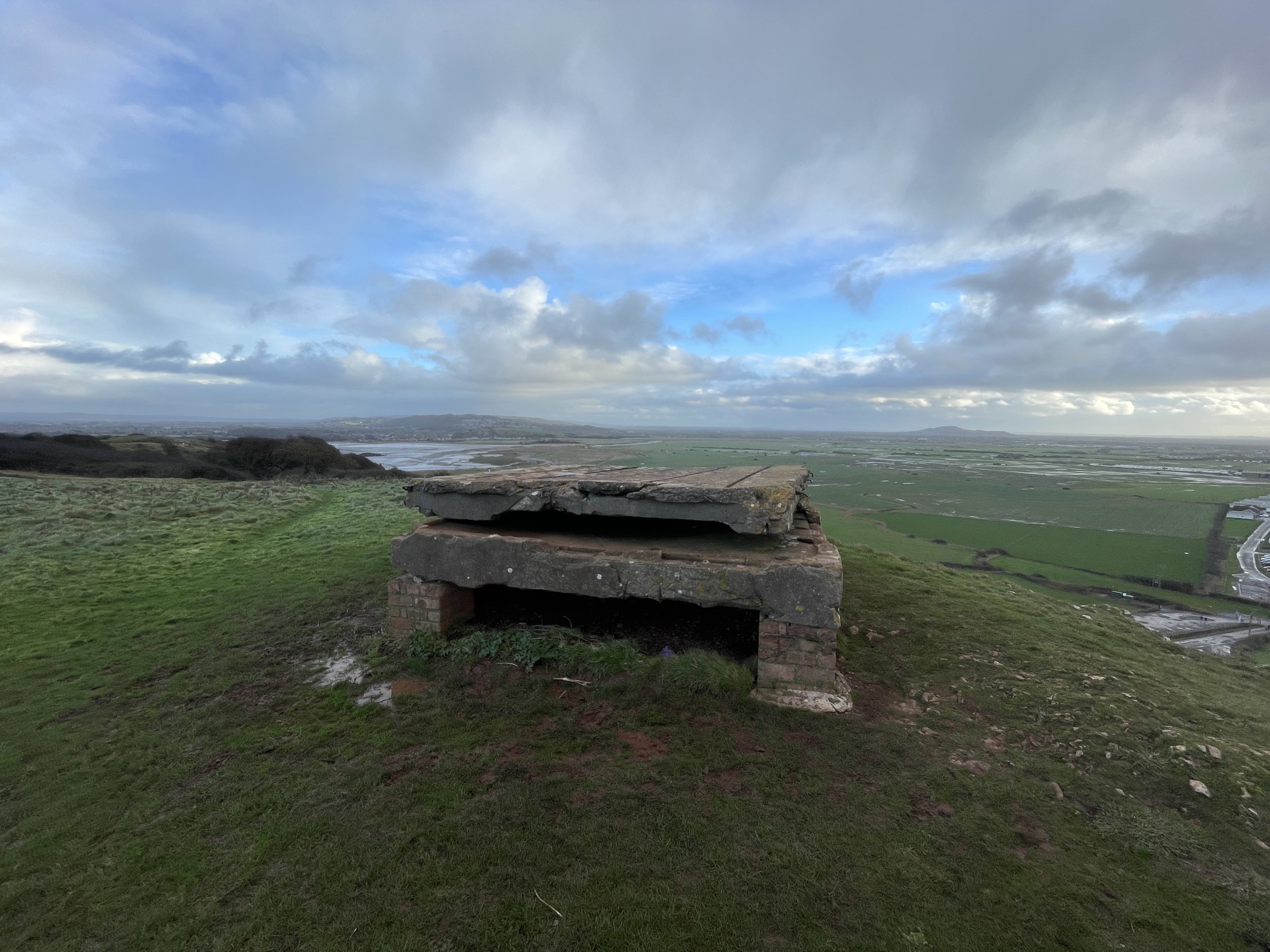
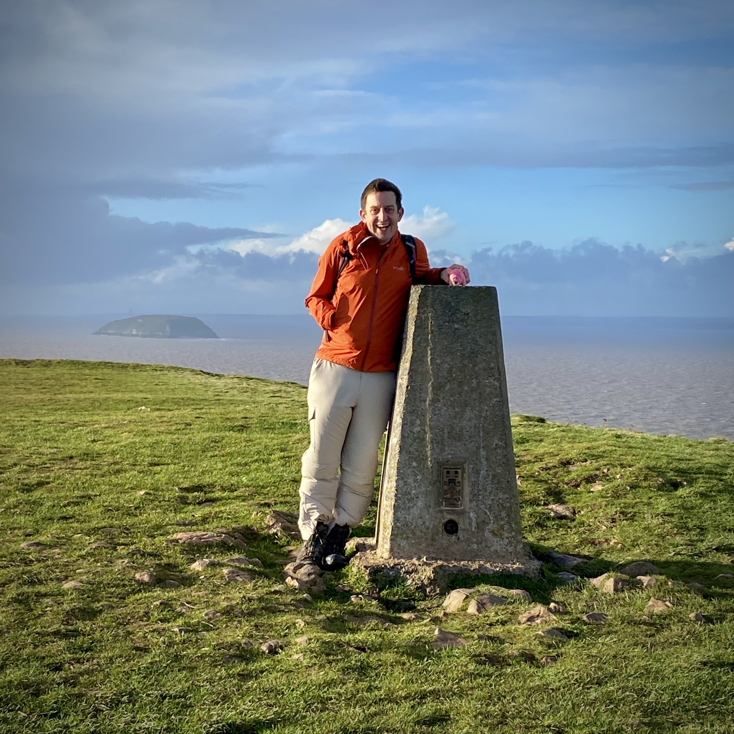
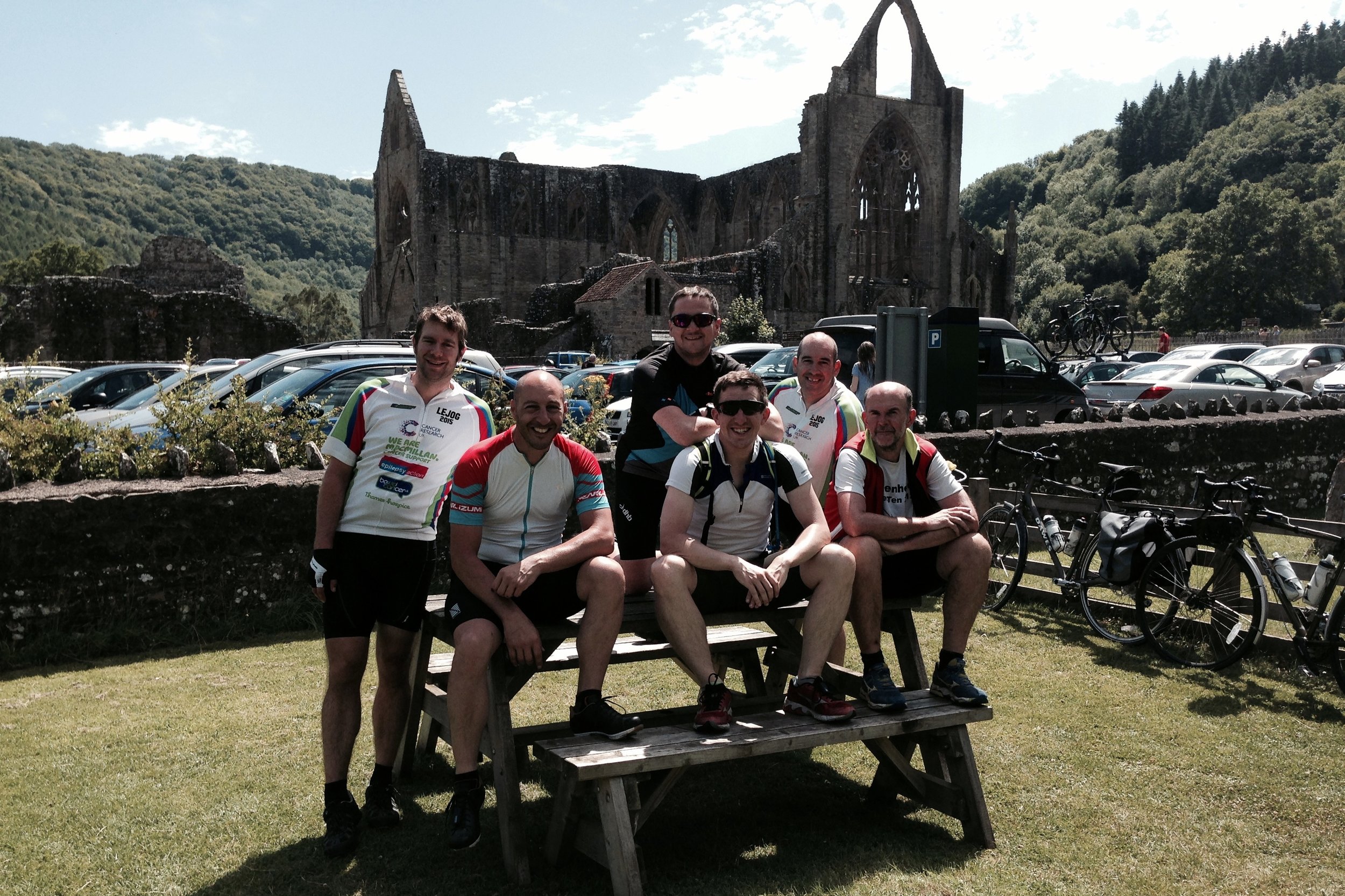
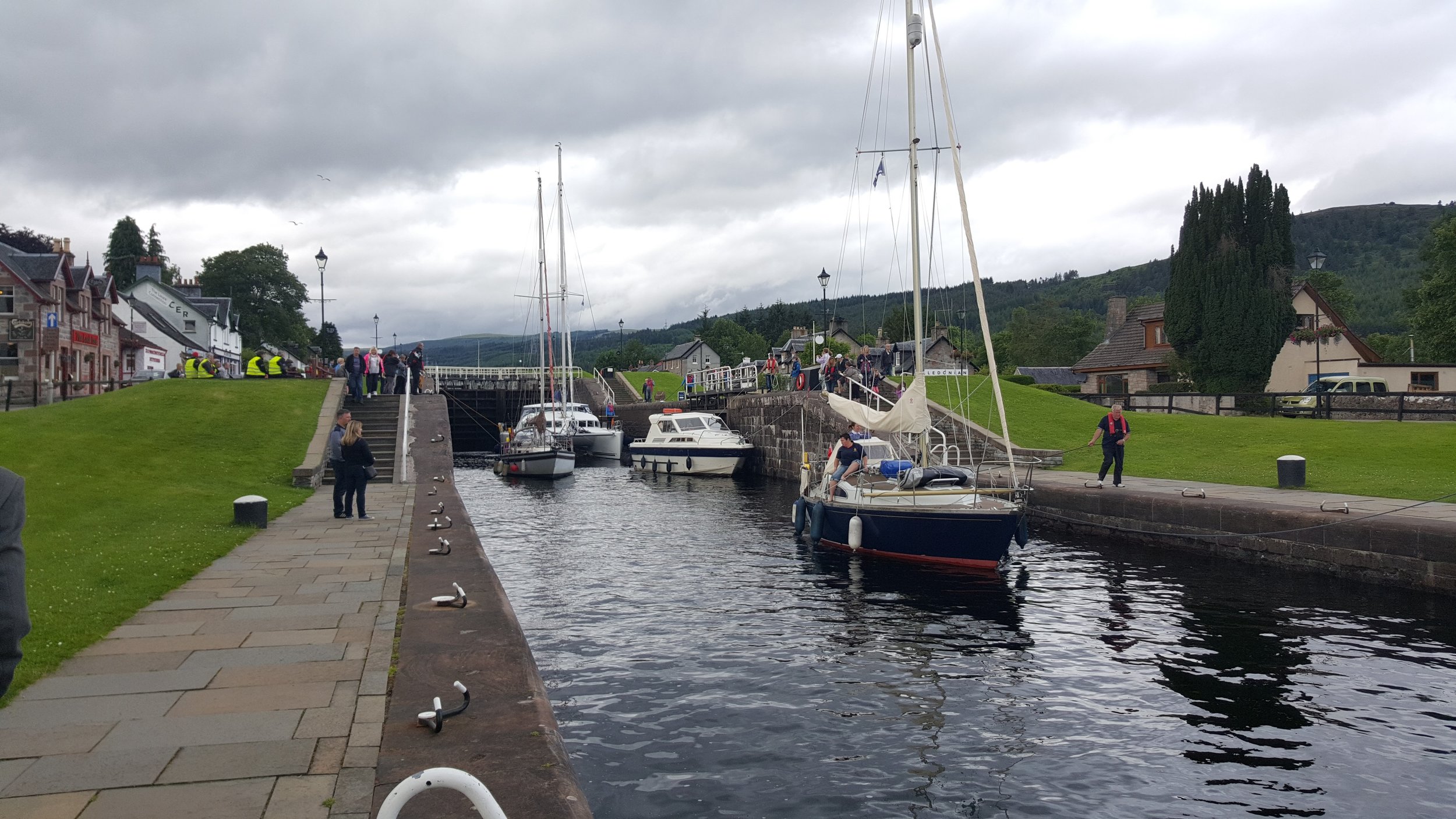
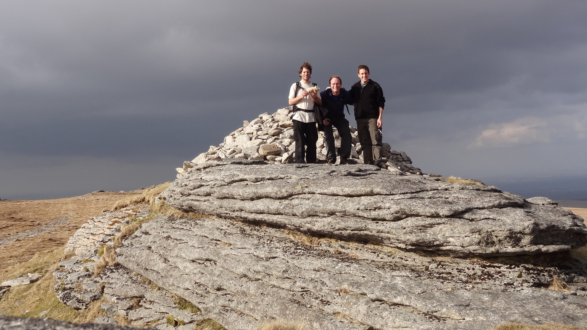
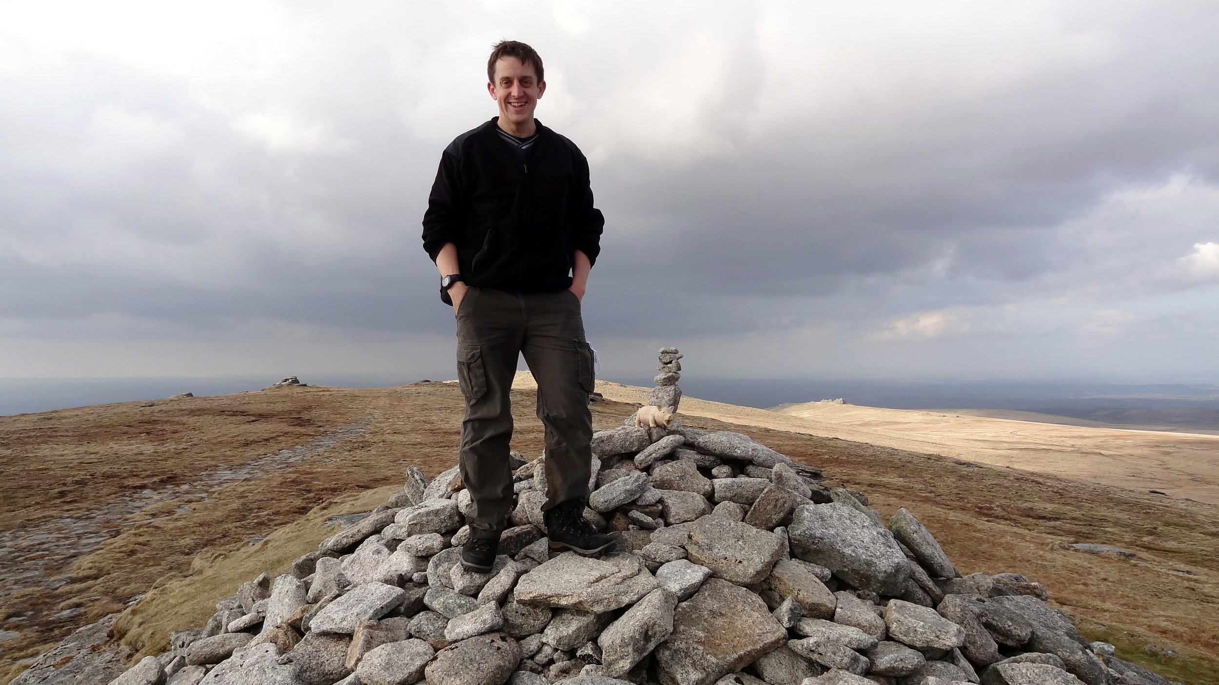
The parkrun Regionnaire status used to be a major part of parkrun tourism, with South East England being the largest region. Changes in the parkrun website in 2019 removed the regions making it harder to track completion status. All is not lost though as here’s the complete parkrun guide to what’s in and what’s out of the counties of South West England.
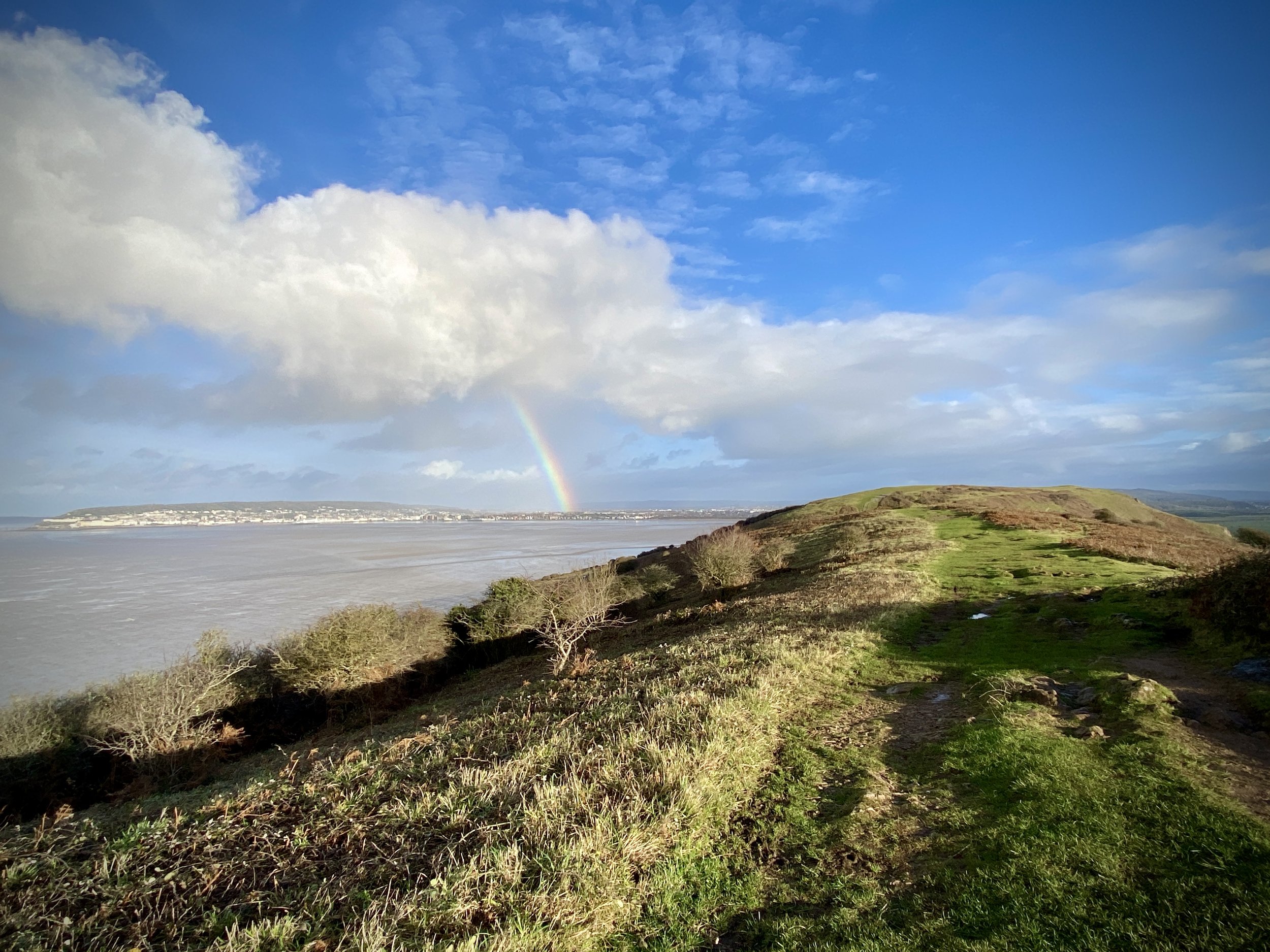
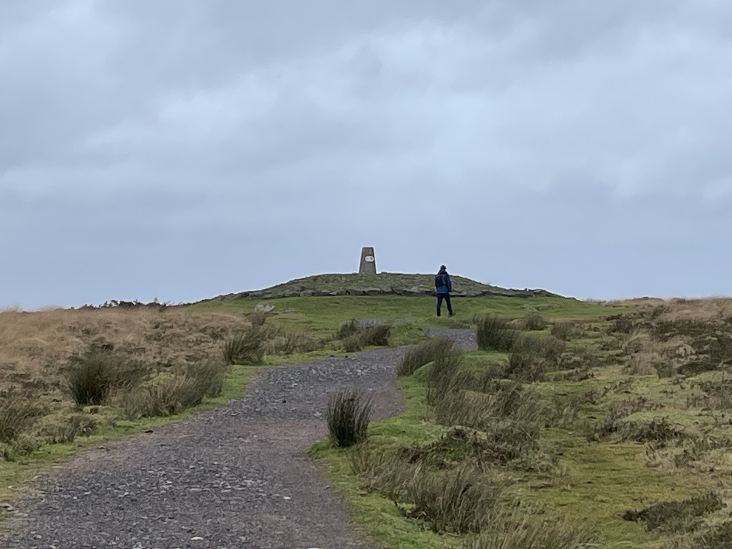
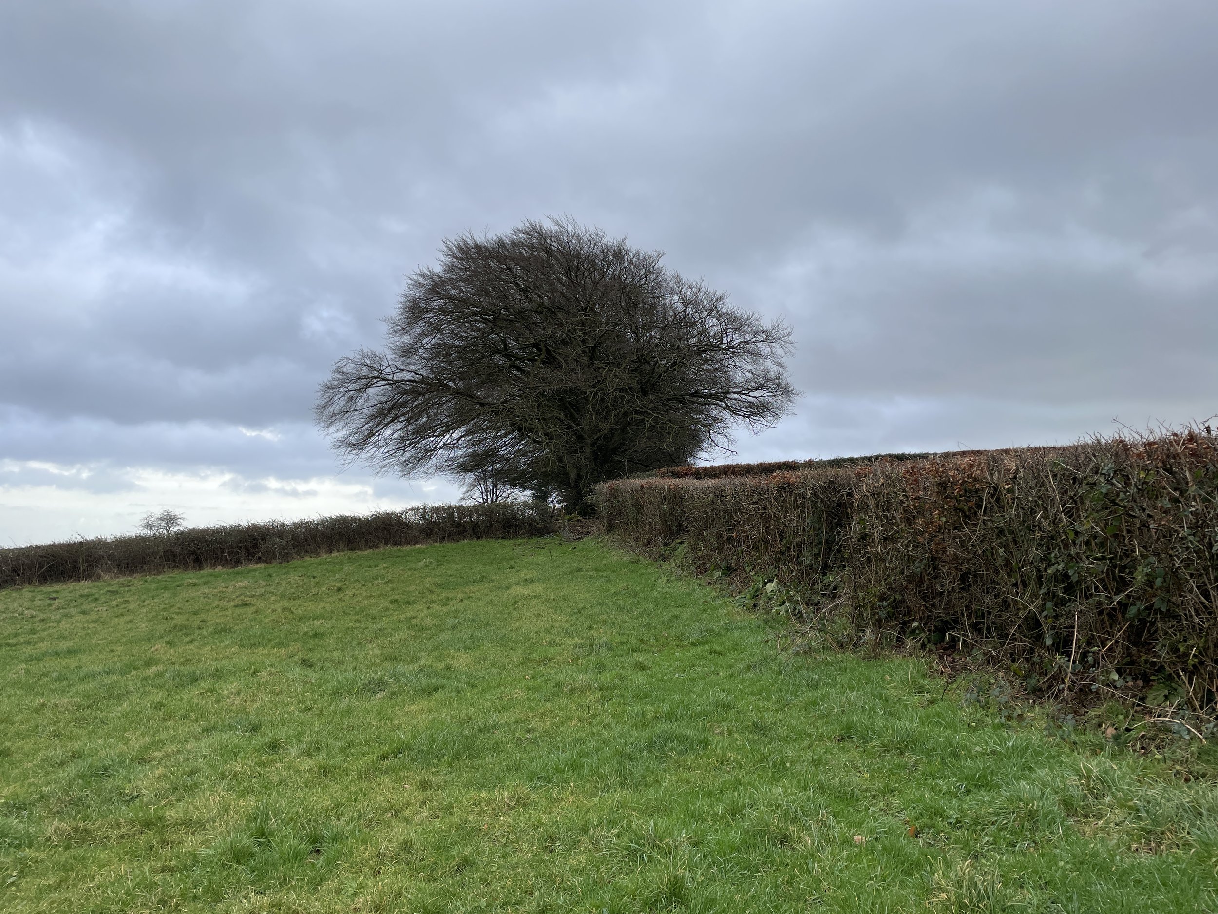
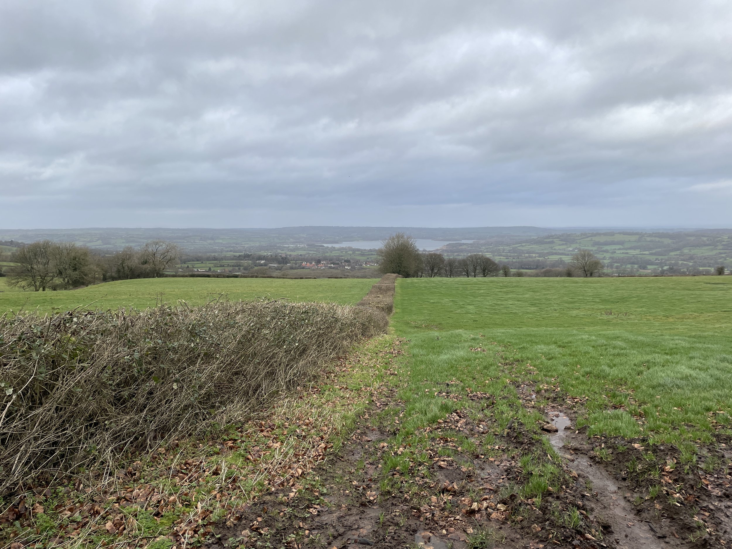
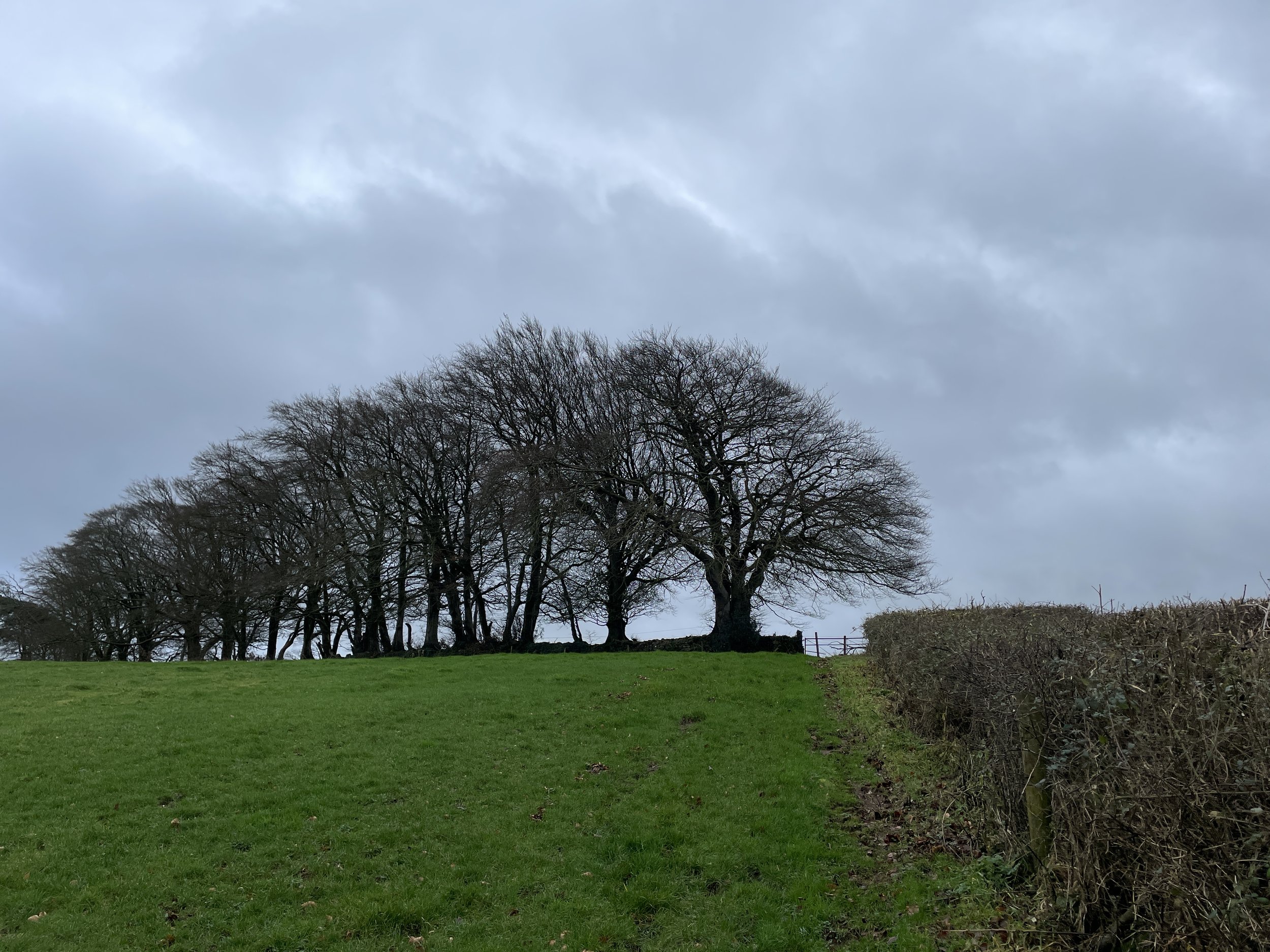
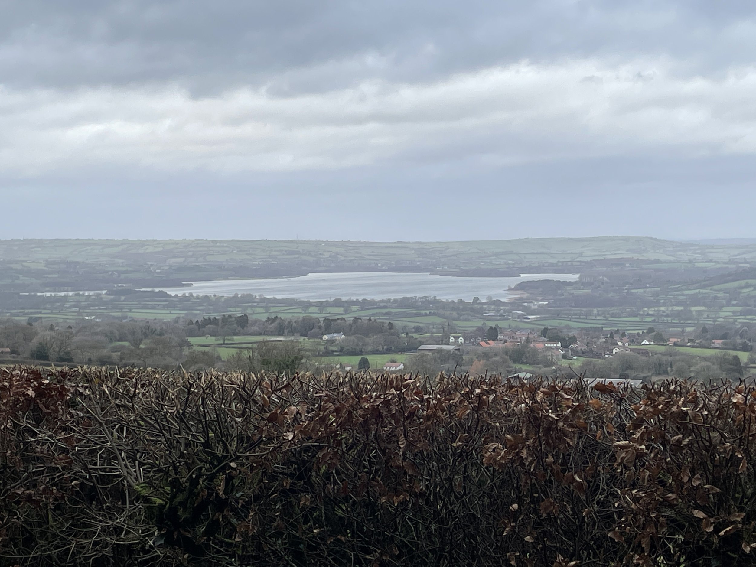
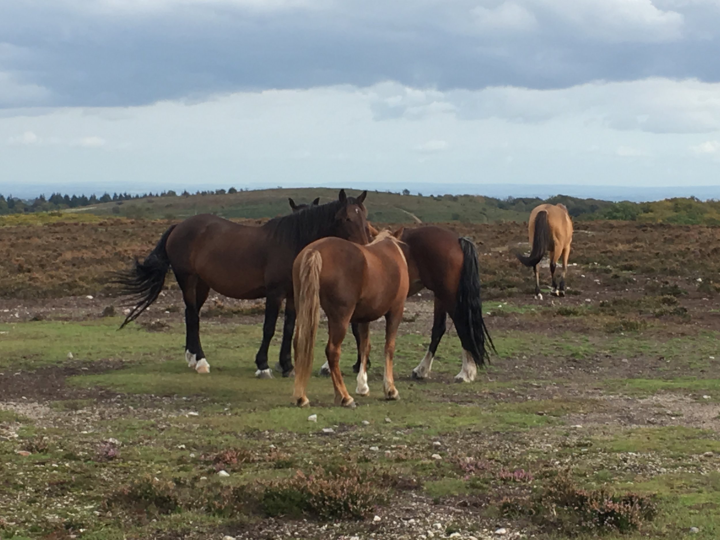
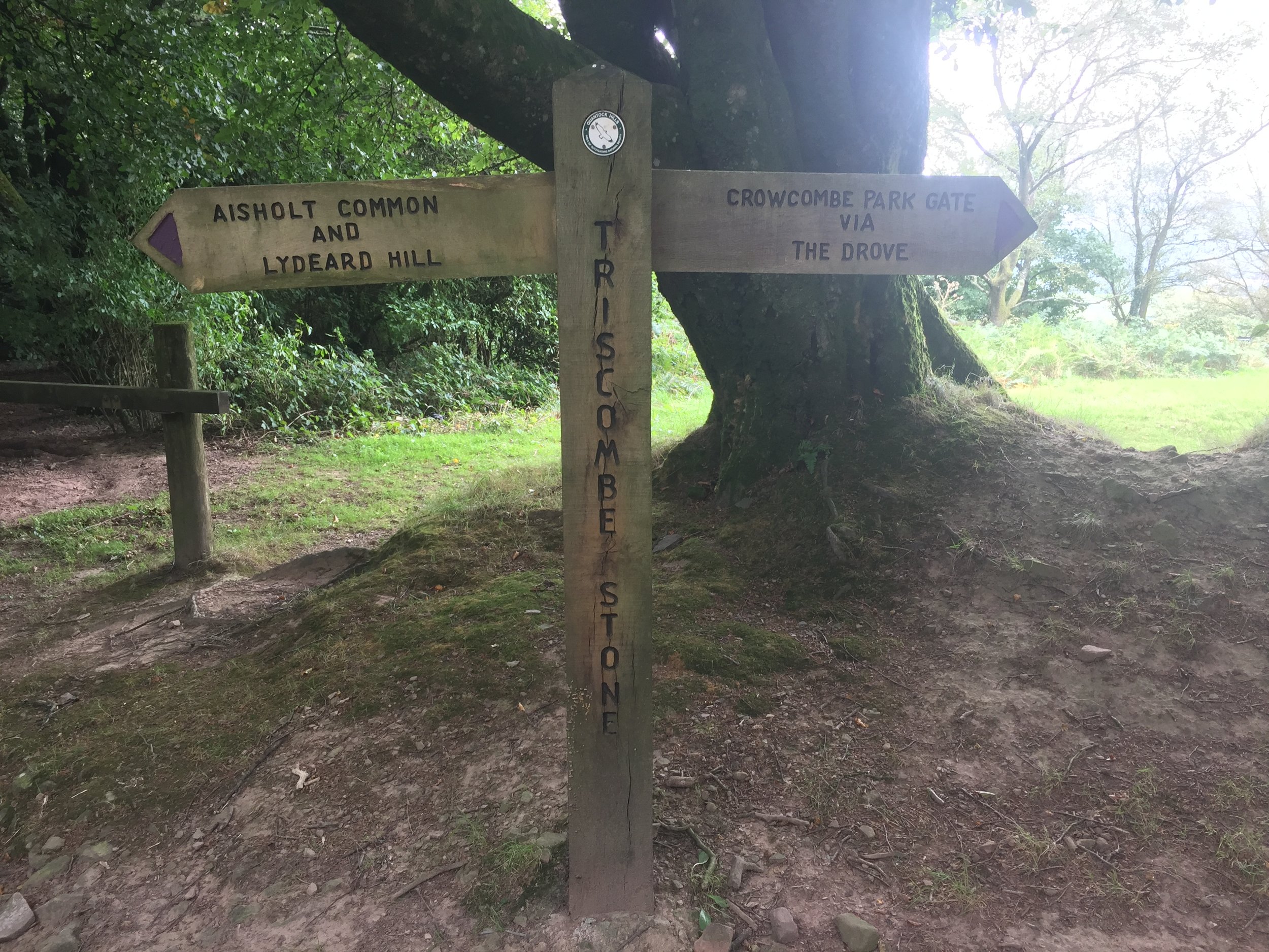
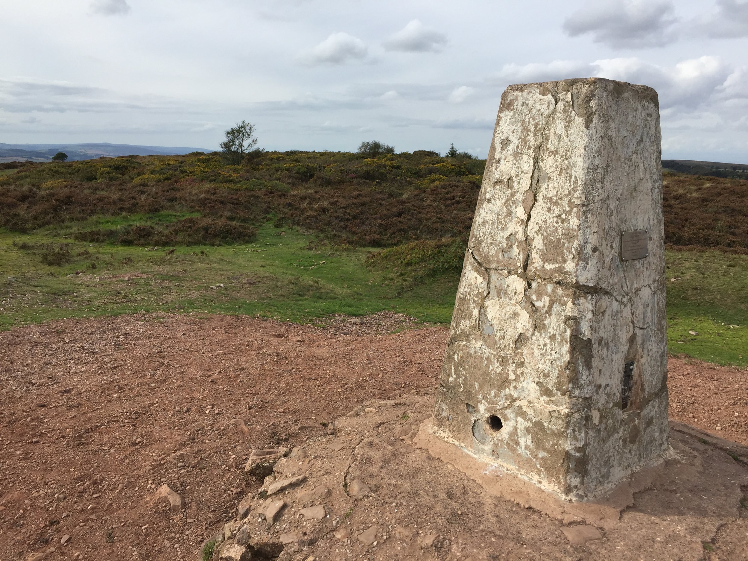
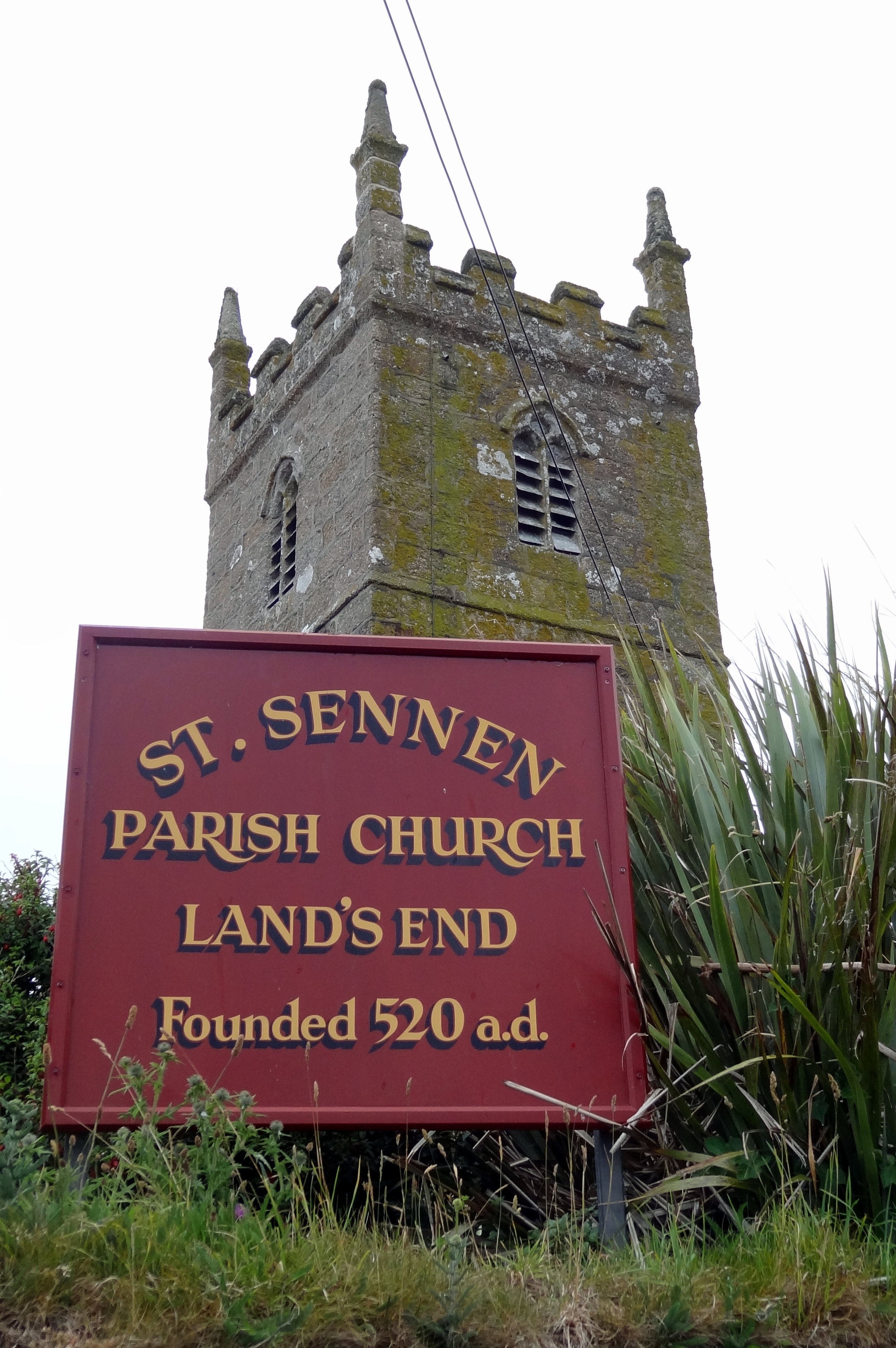
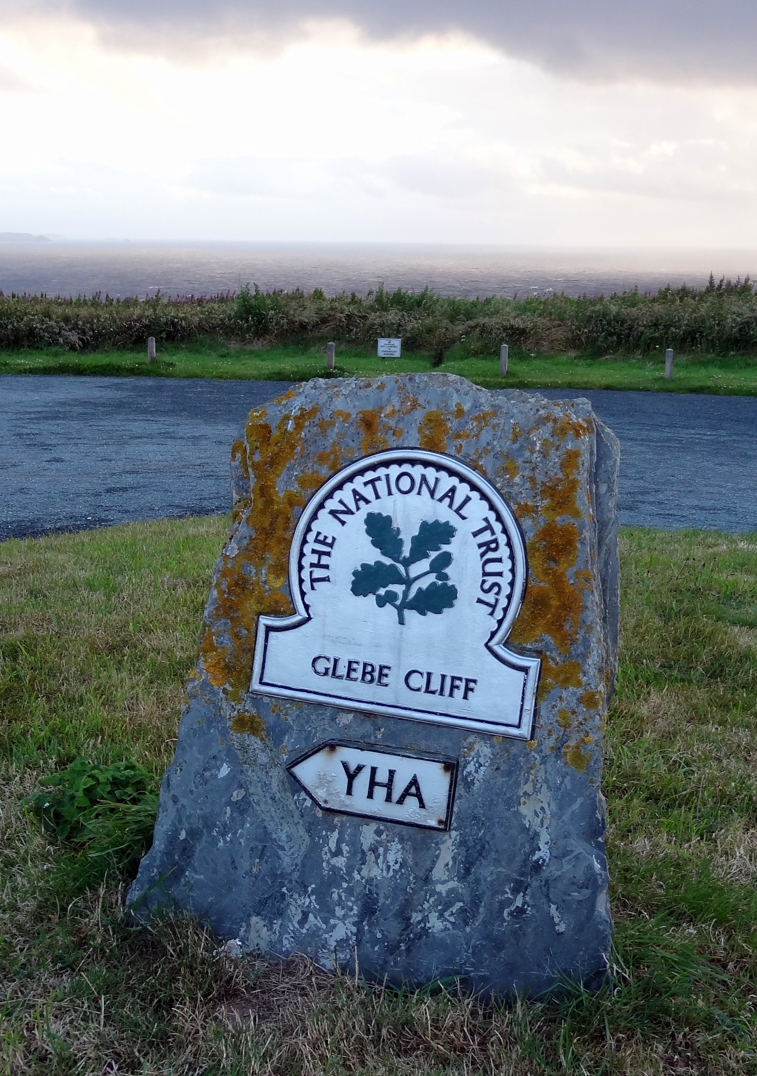
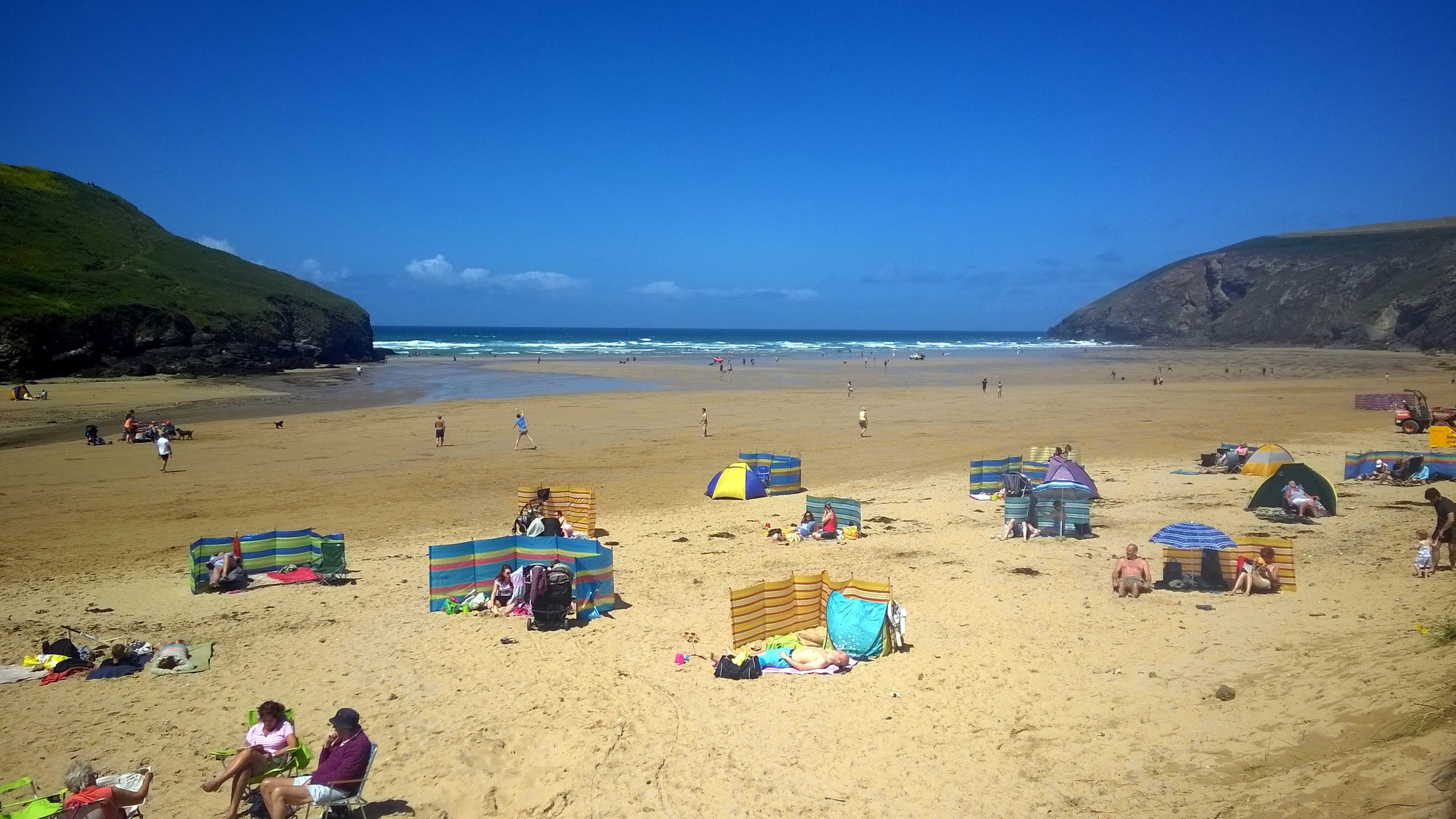
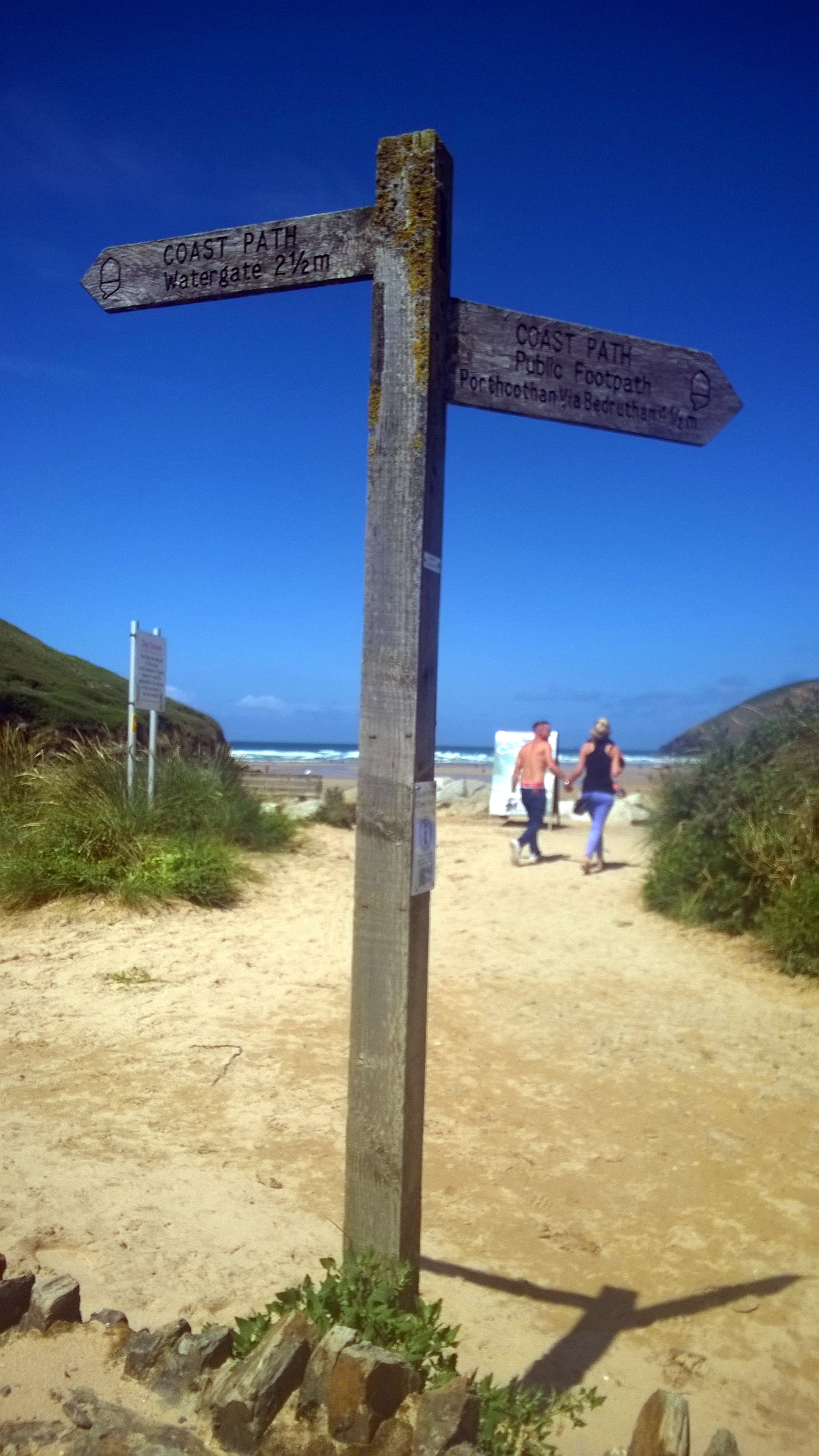
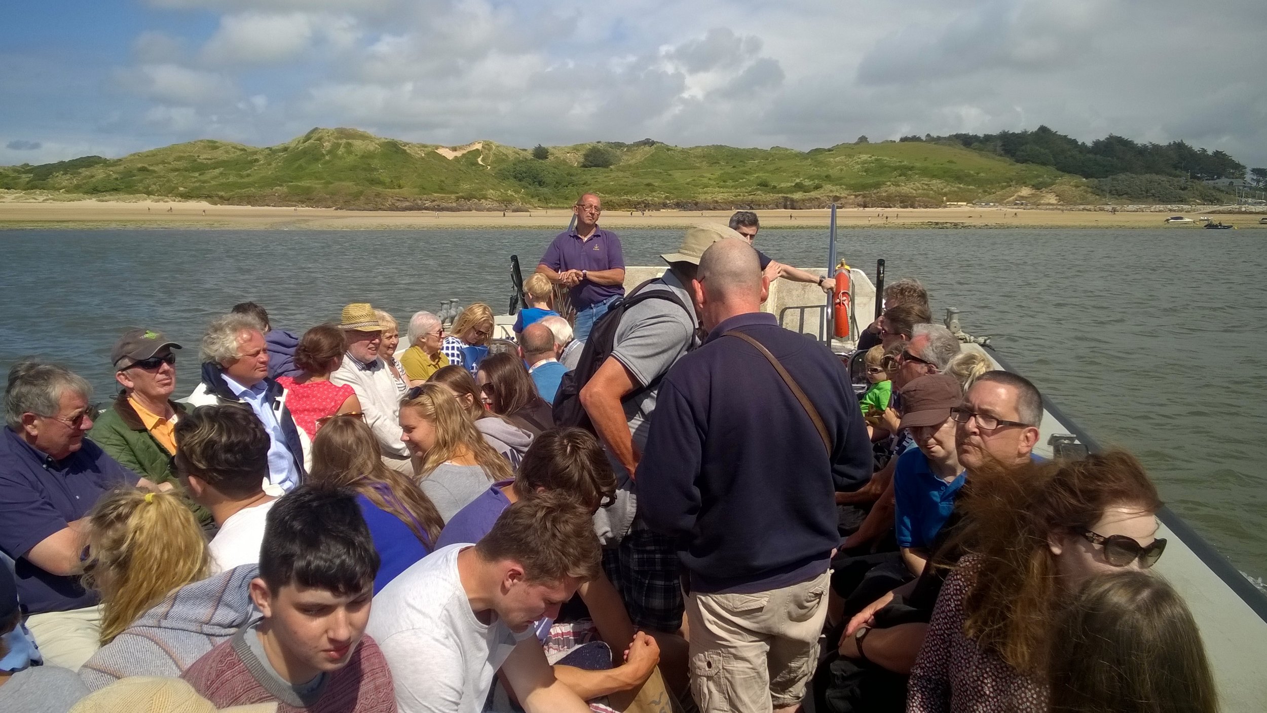
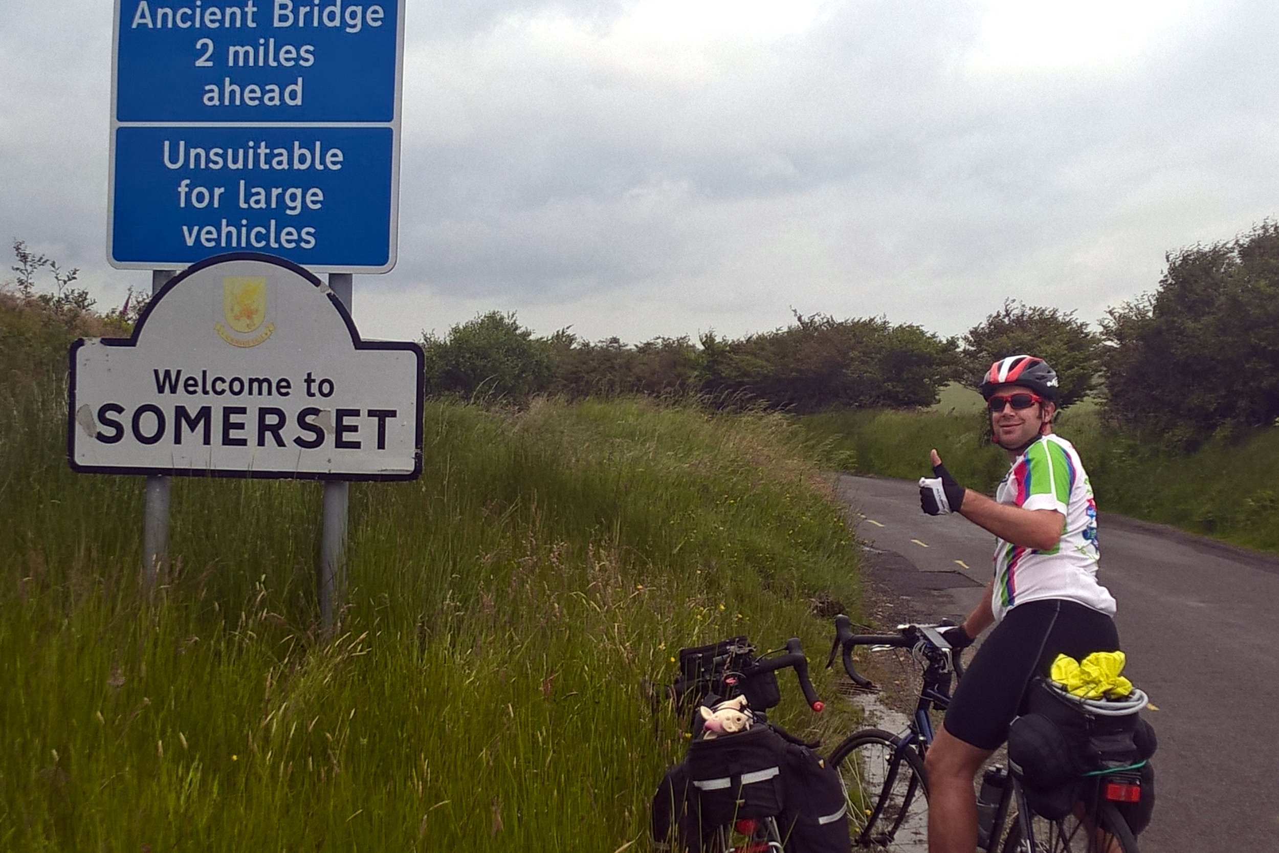
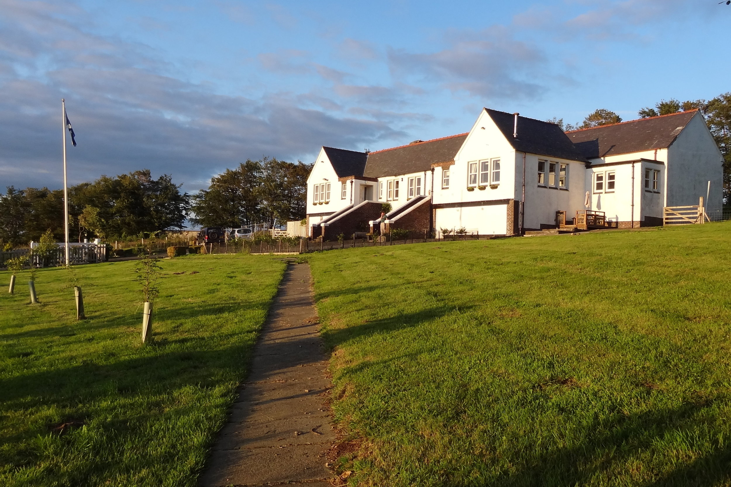
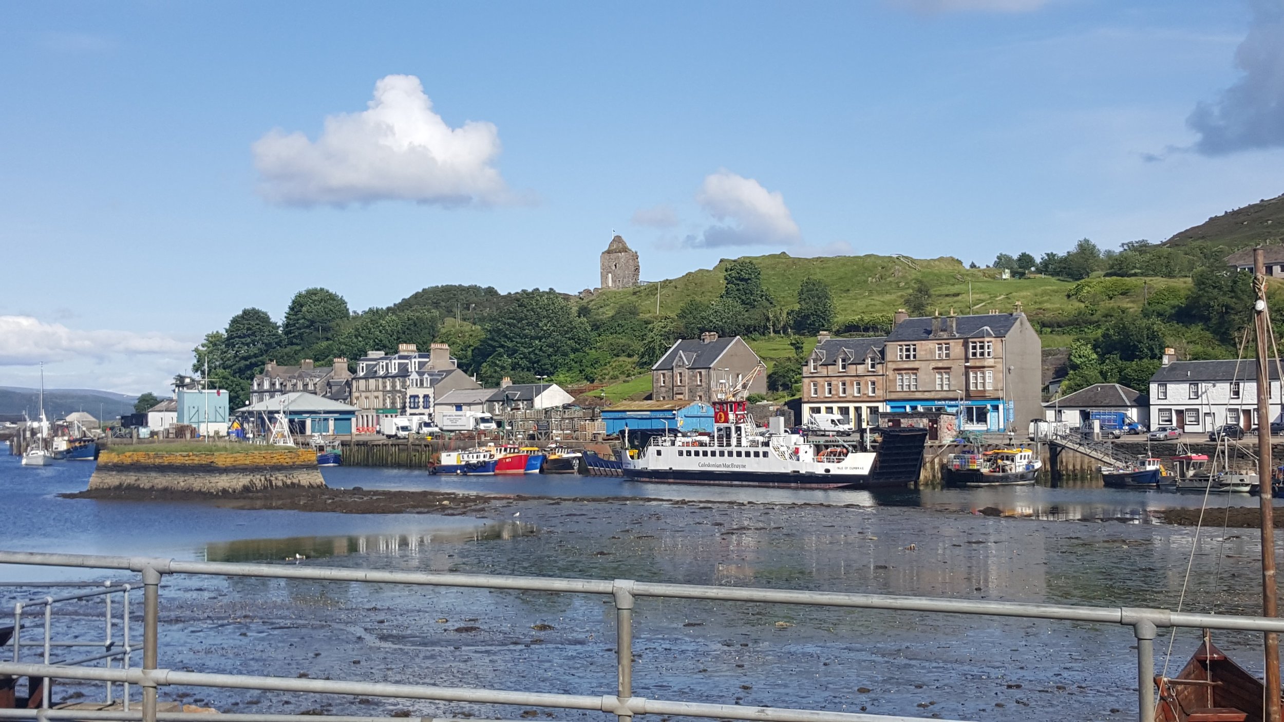
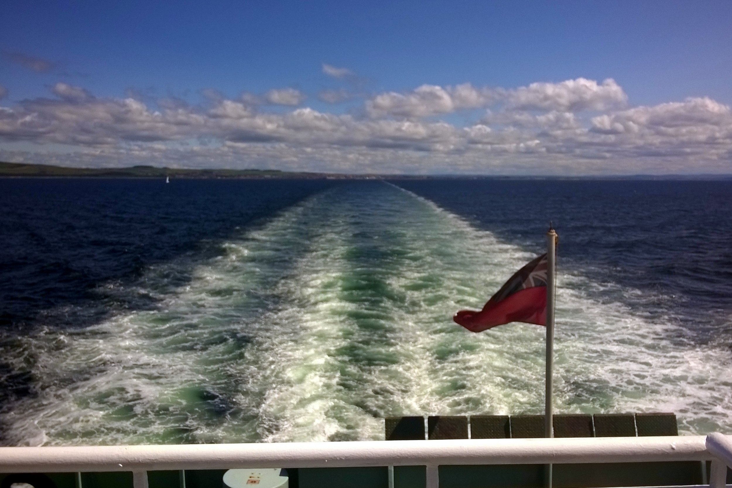
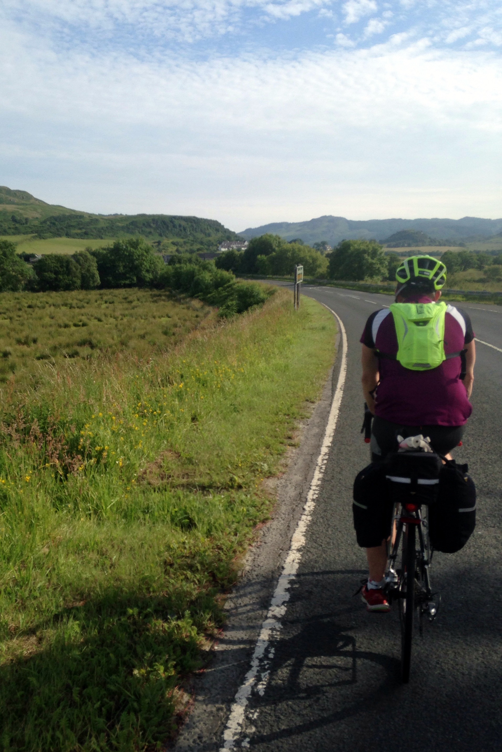
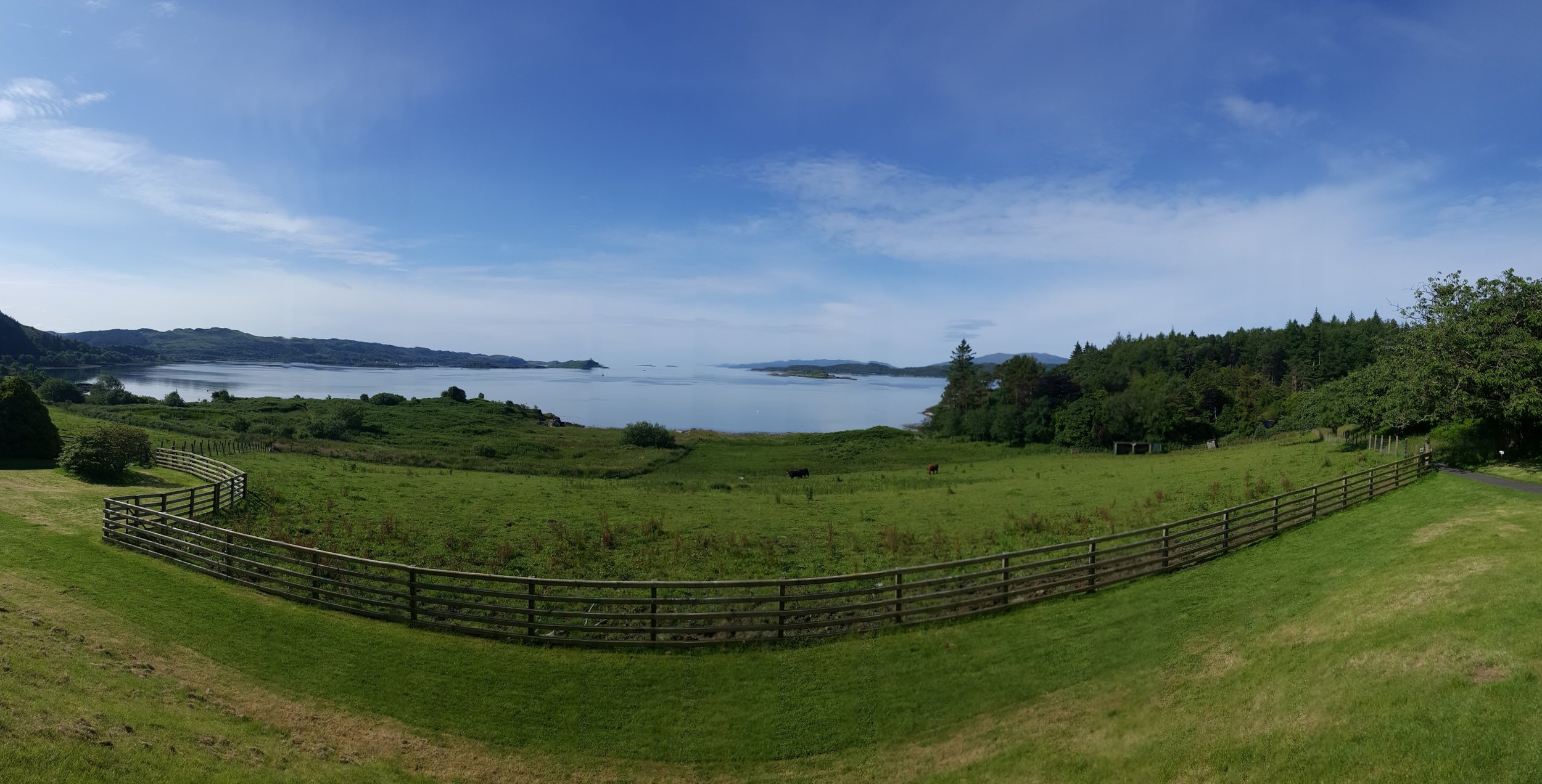
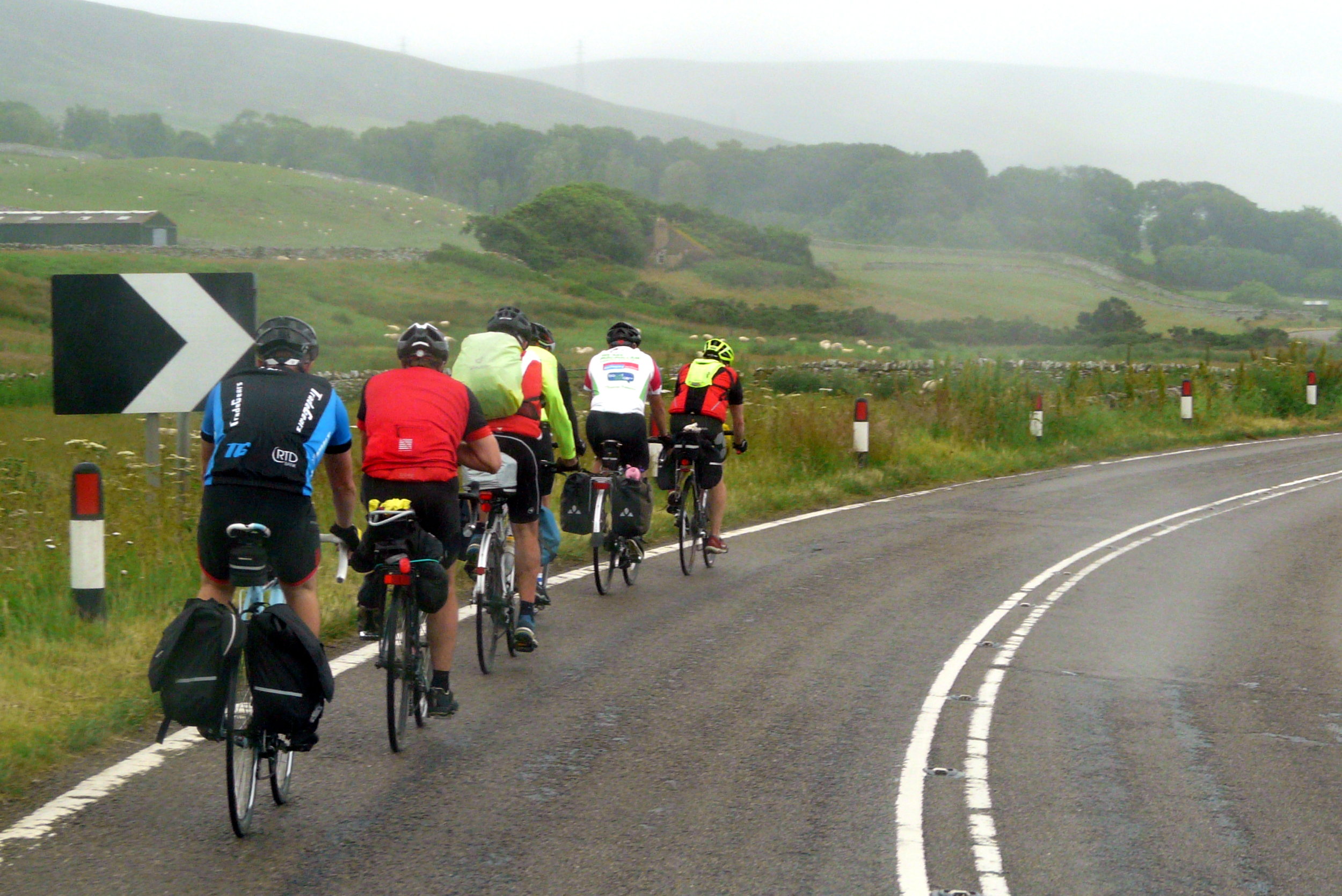
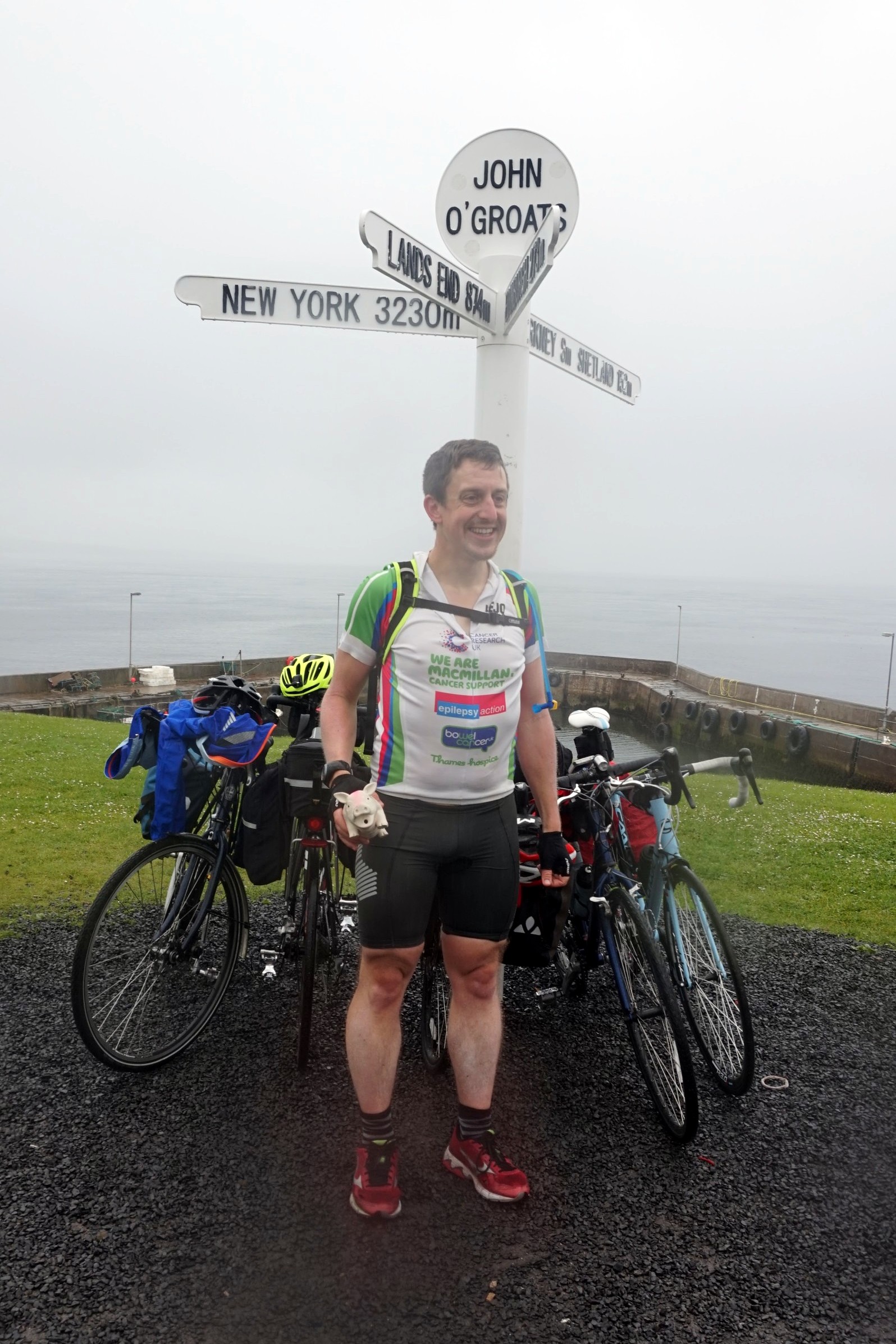
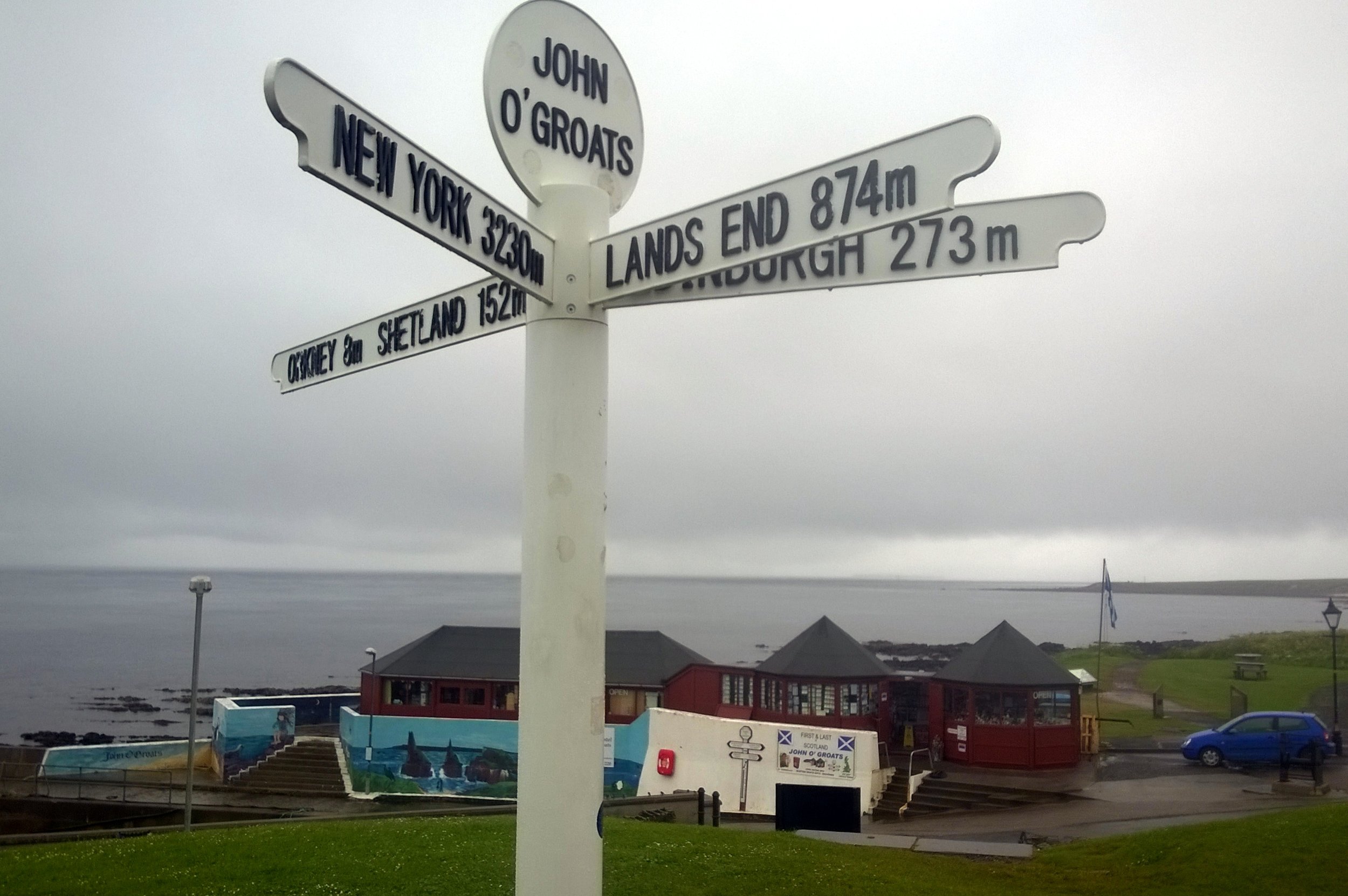
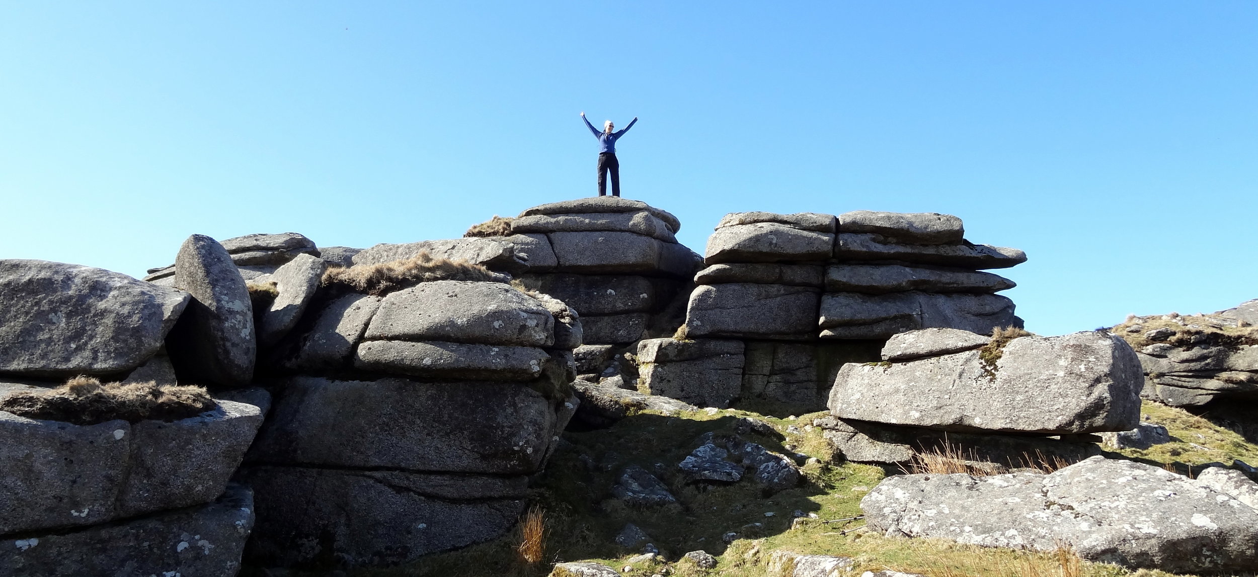
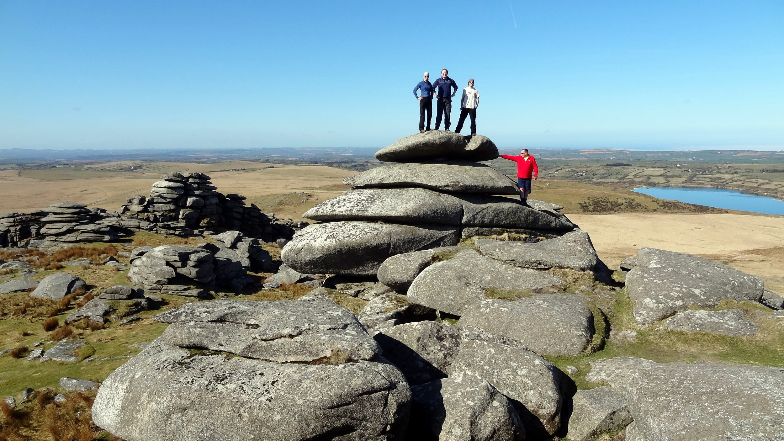
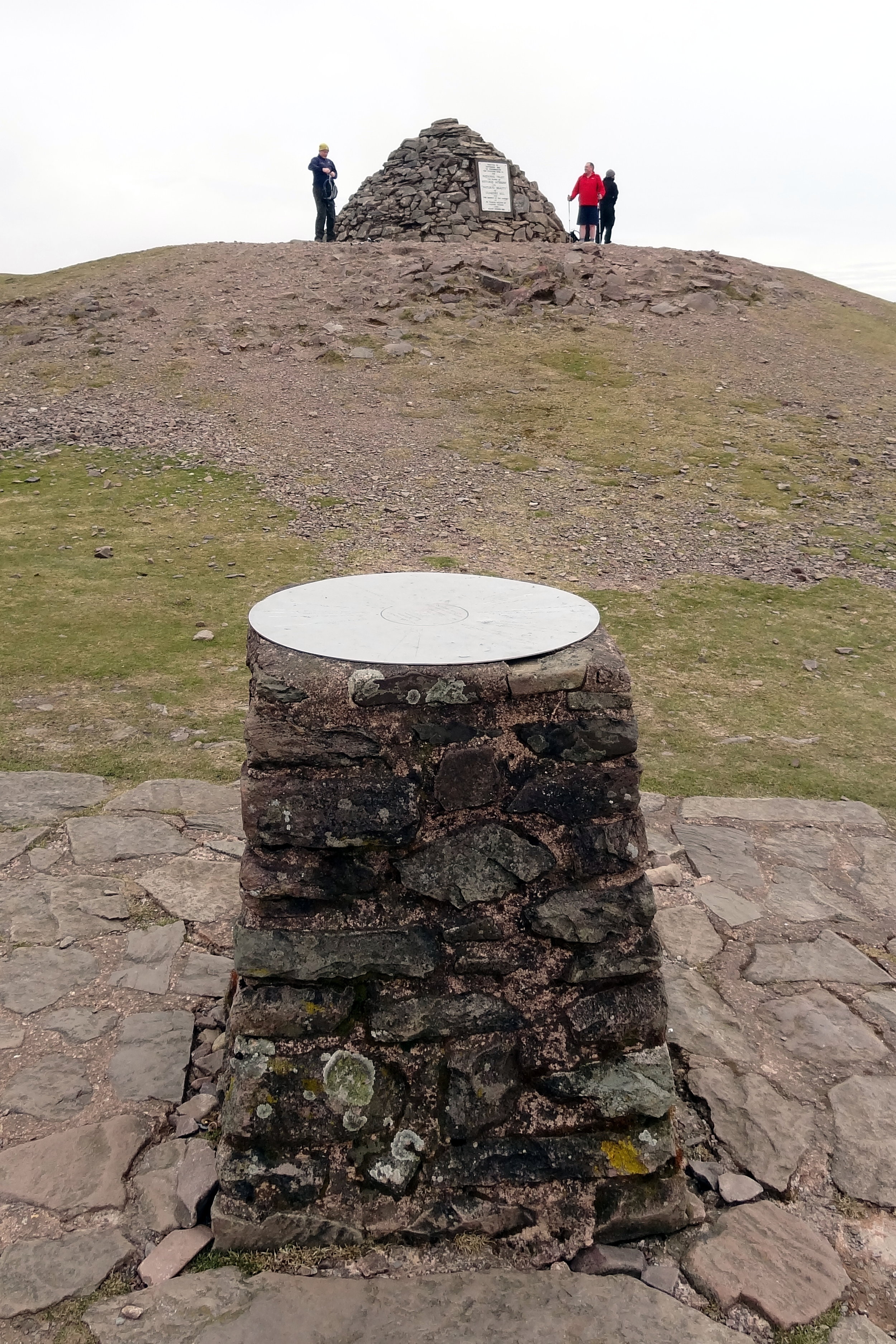
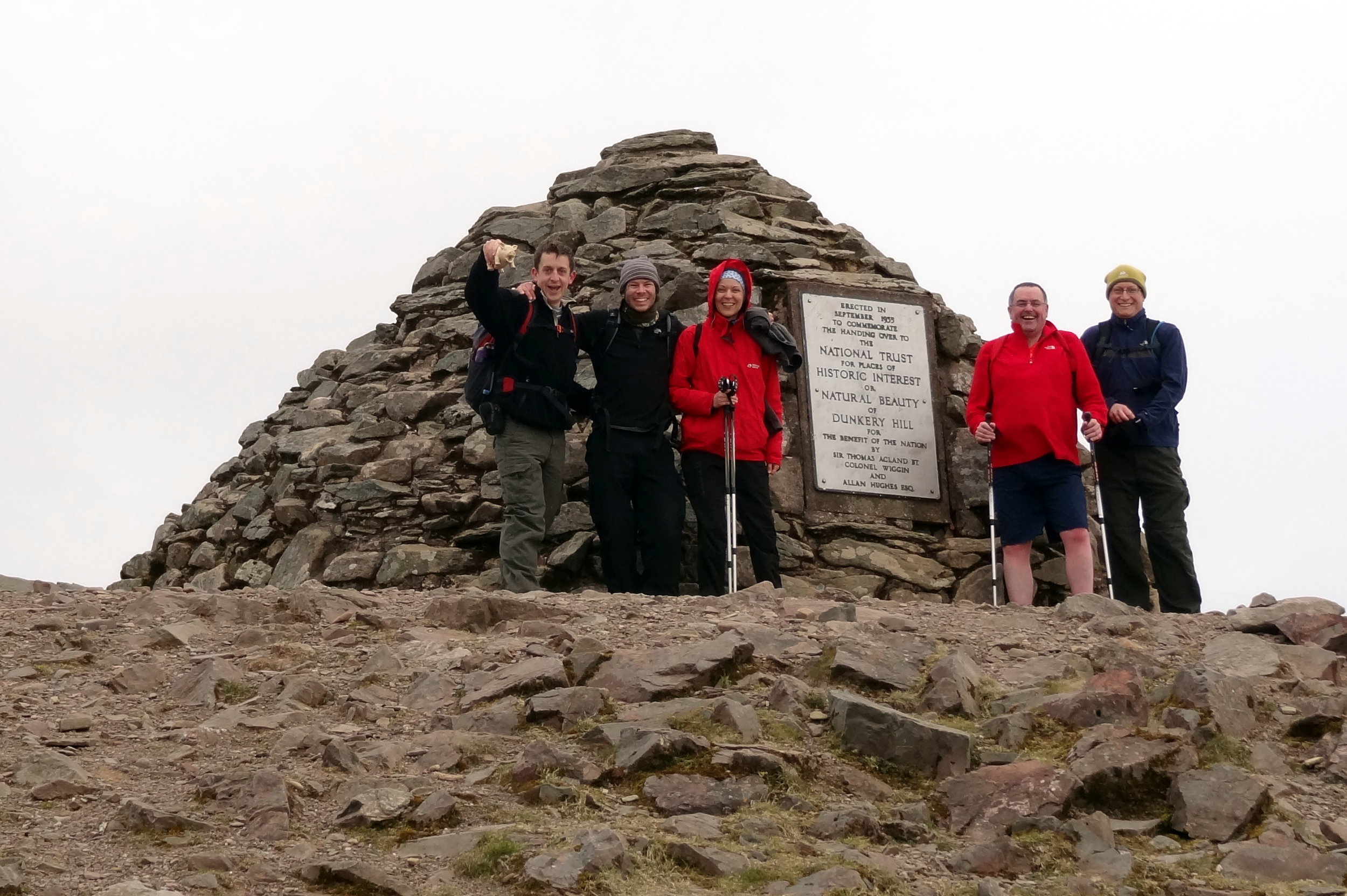
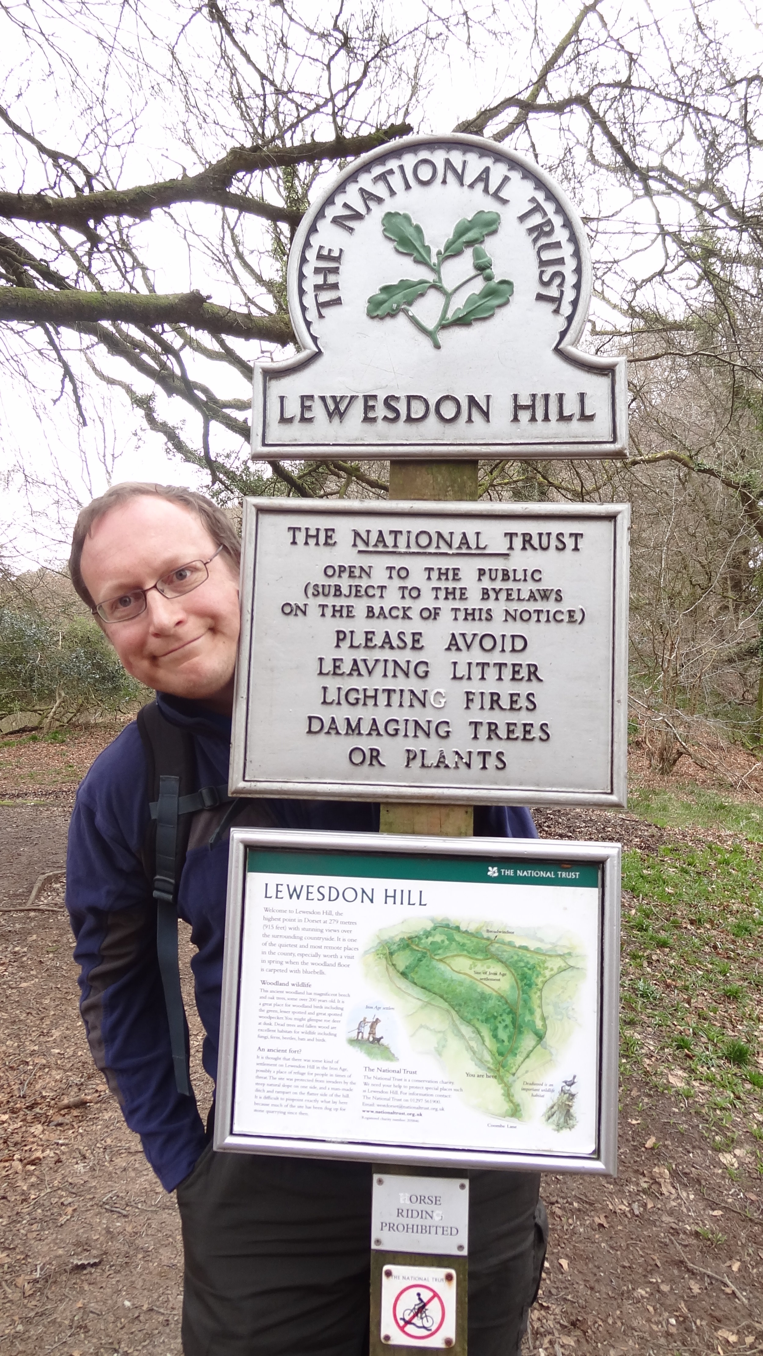
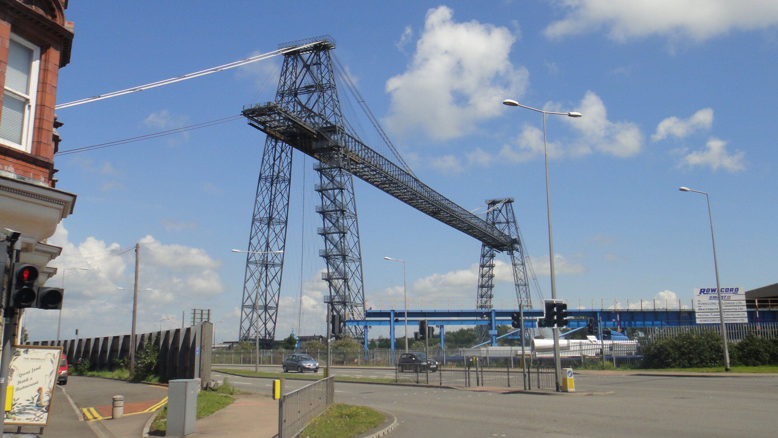
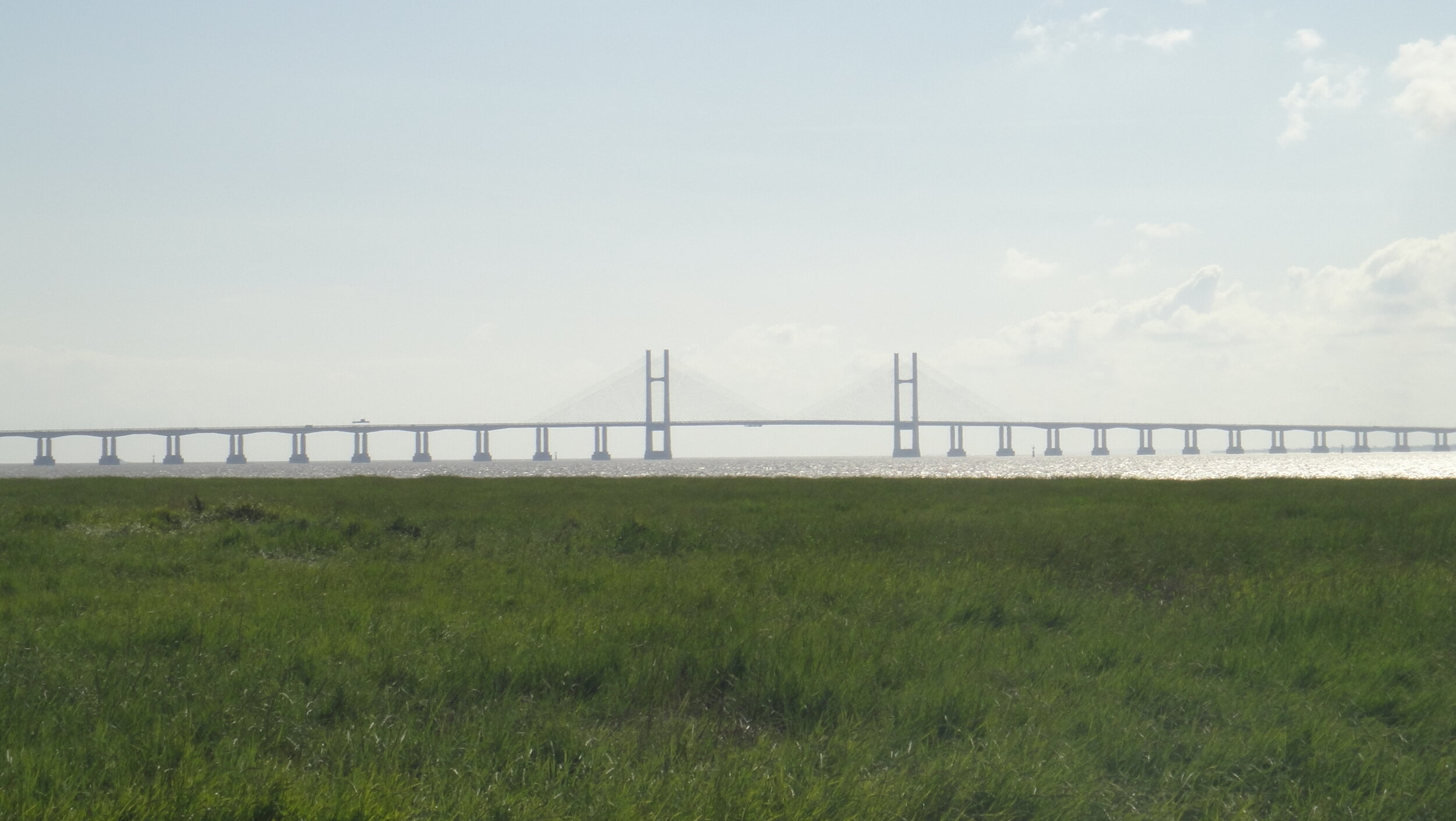
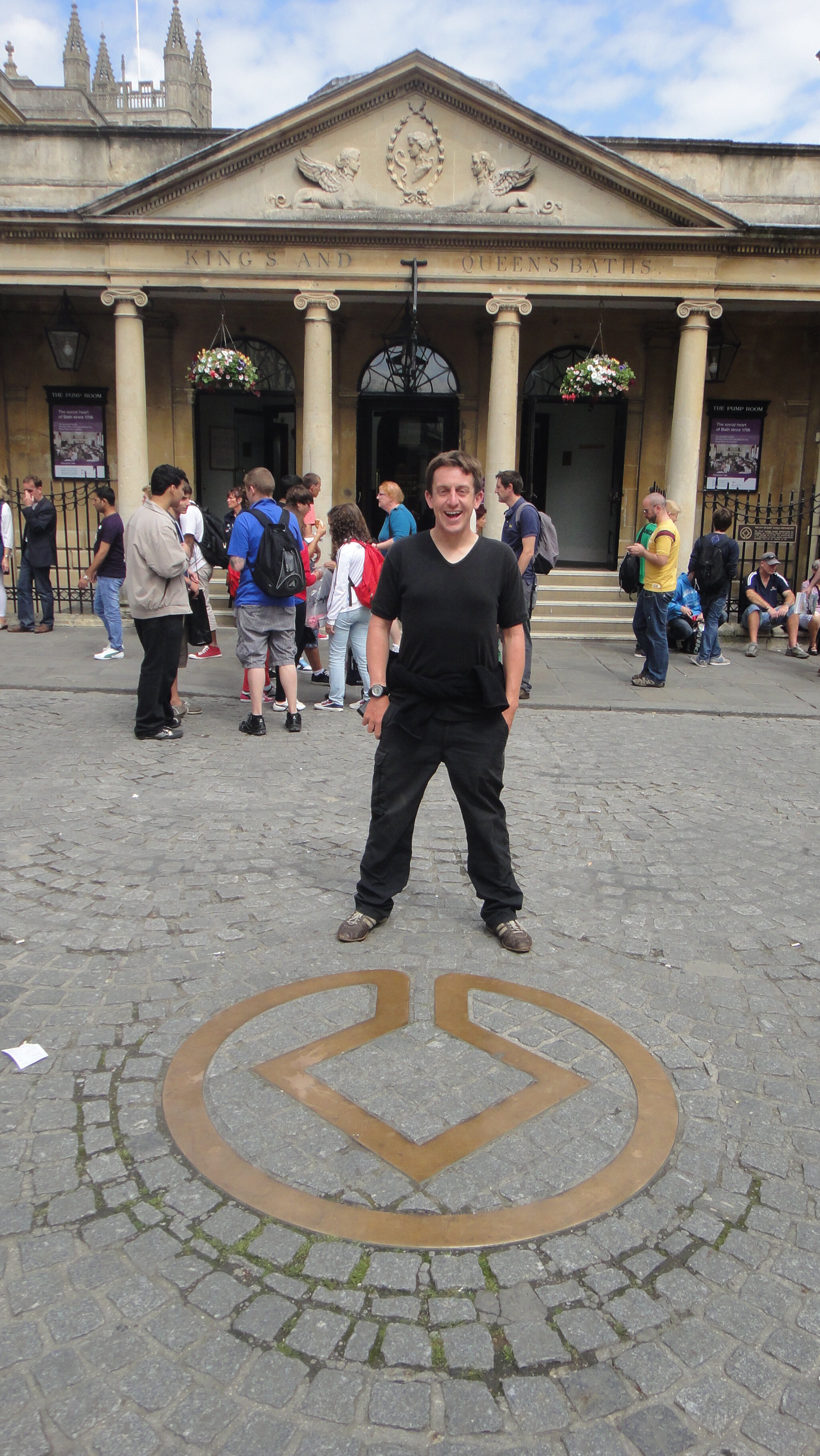
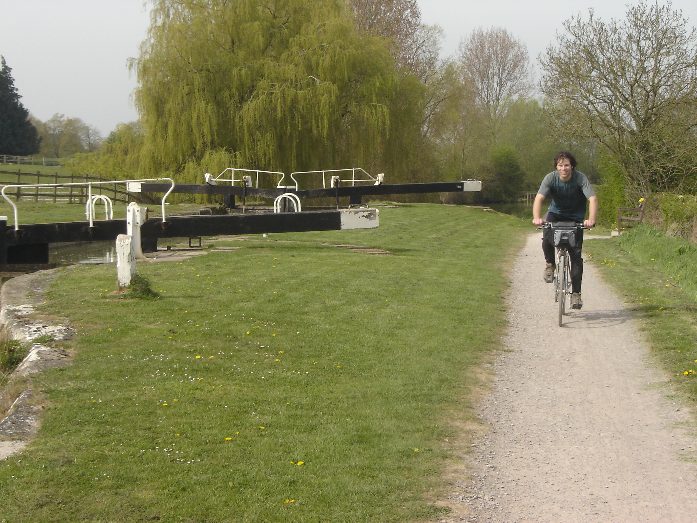
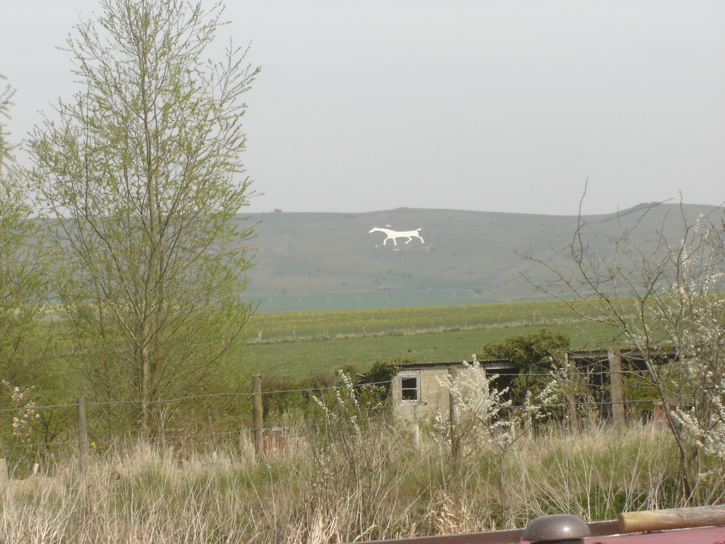
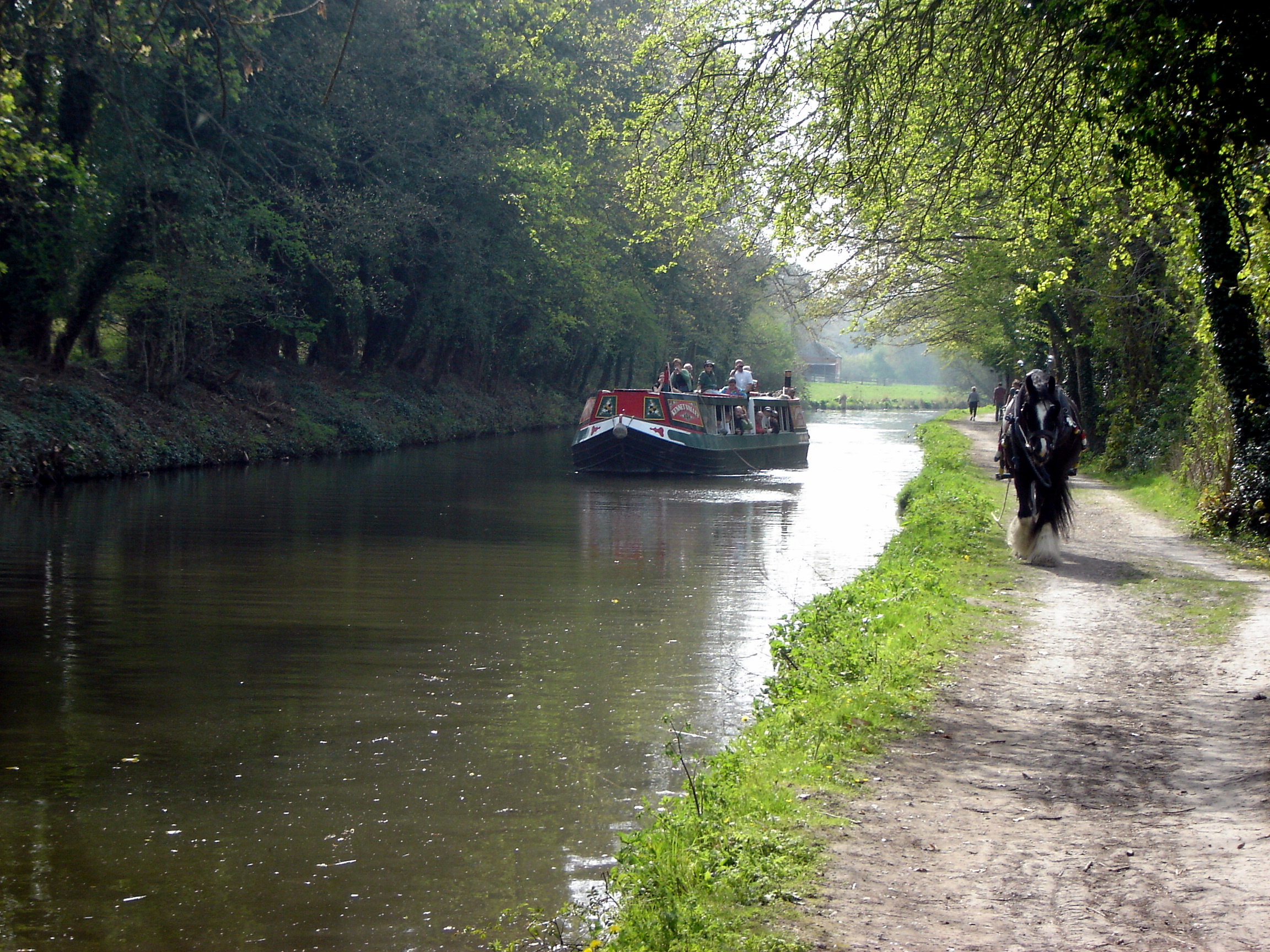
The South West England region is the largest of England's nine regions by area, encompassing the historic and ceremonial counties of Cornwall (including the Isles of Scilly), Devon, Dorset, Somerset, Wiltshire, Gloucestershire, and the city of Bristol. It stretches from the border with the South East and West Midlands, down to the far southwestern tip at Land's End, giving it the longest coastline of any English region. The area is often romantically referred to as the West Country and includes ancient landscapes such as Wessex. The key urban centres are the thriving city of Bristol, the historically important naval port of Plymouth, and the coastal conurbation of Bournemouth/Poole.

parkrun event numbers per county
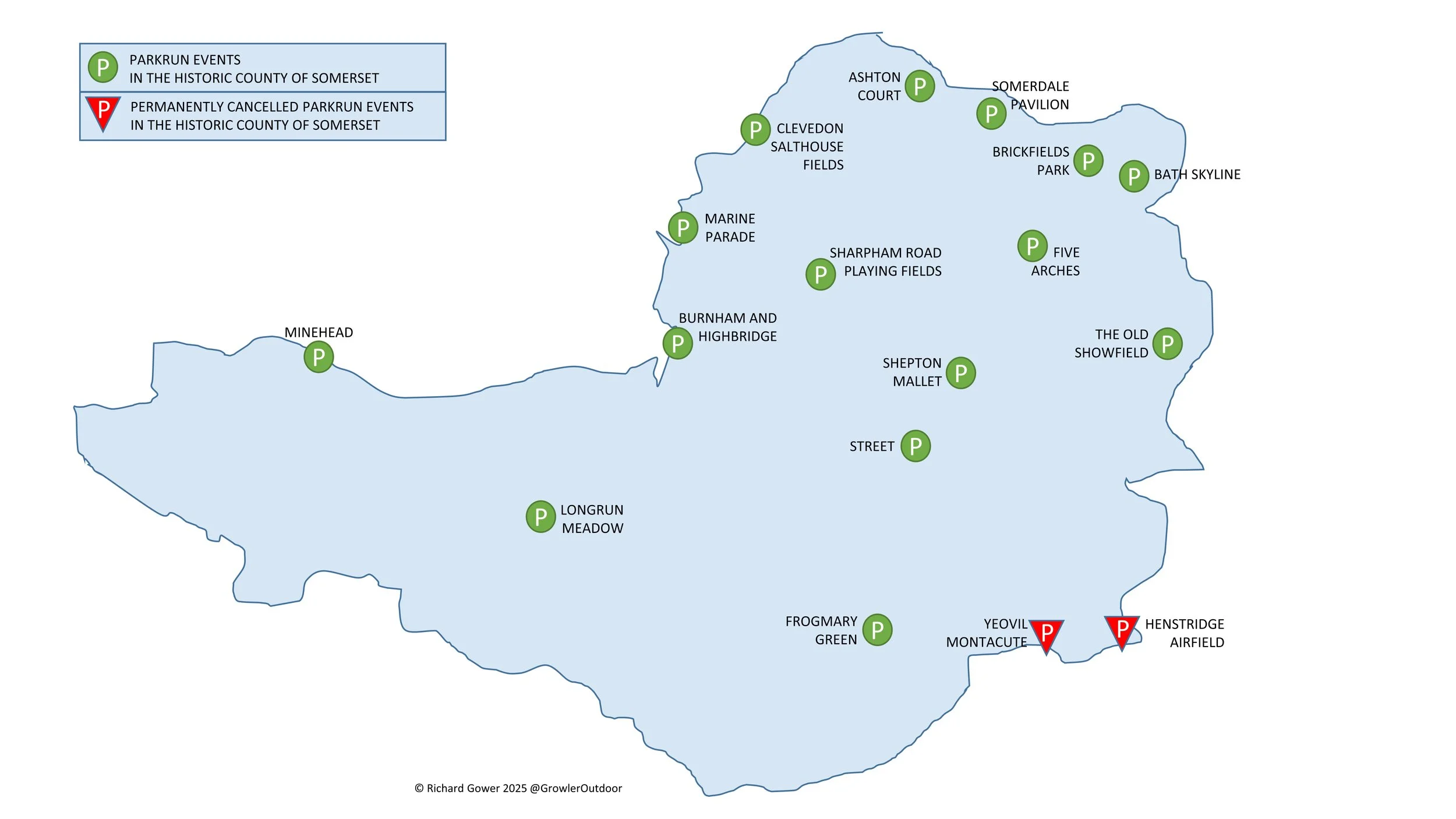
There are currently 88 parkrun events in the South West region. Three of these events were in Hampshire in South East England before the county boundary changes in 1974, however this was a long time before parkrun started. There are currently no parkrun events in the present day / Ceremonial county of the Isles of Scilly.

Notes and exceptions.
Numbers of event above exclude prison parkruns and permanently cancelled events.
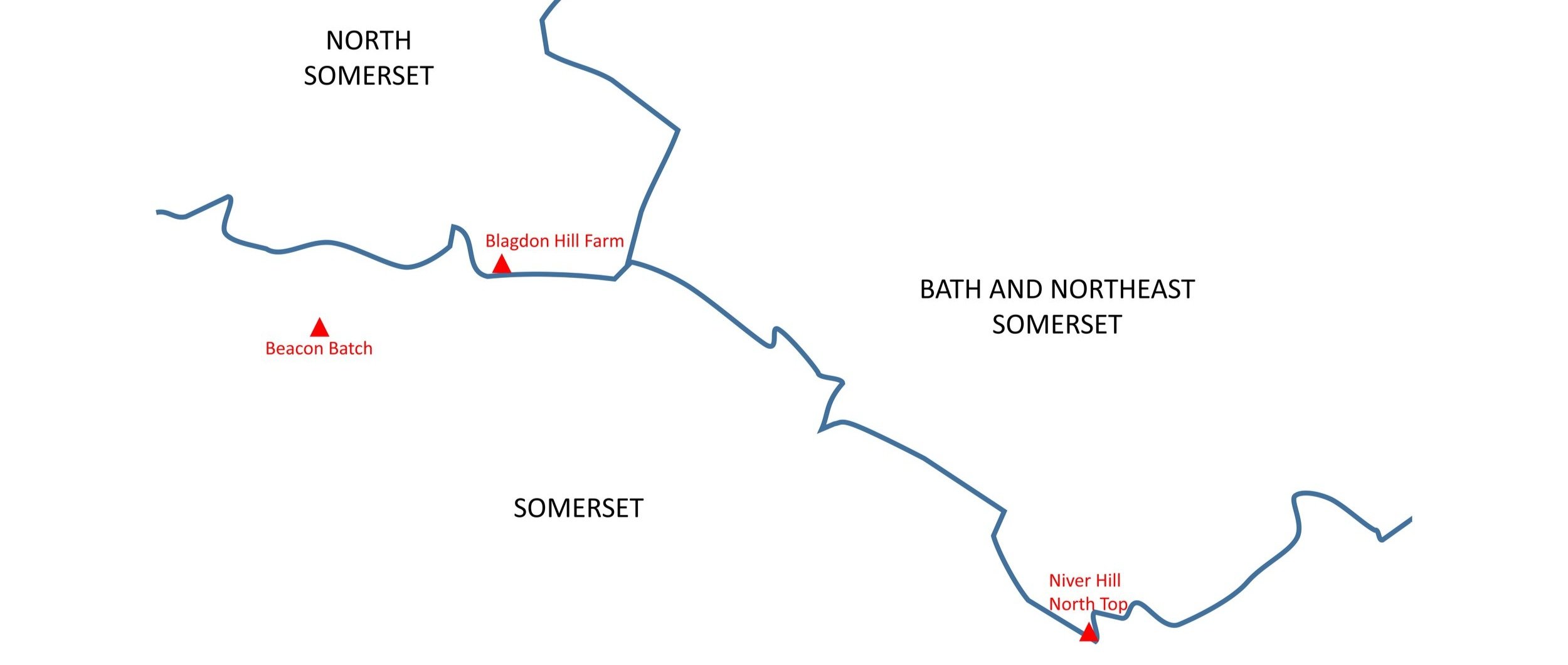
Bournemouth, Highcliffe Beach and Moors Valley parkruns were part of historic Hampshire and would have been in historic South East England, but are now part of present-day Dorset, so would be in the South West England region.
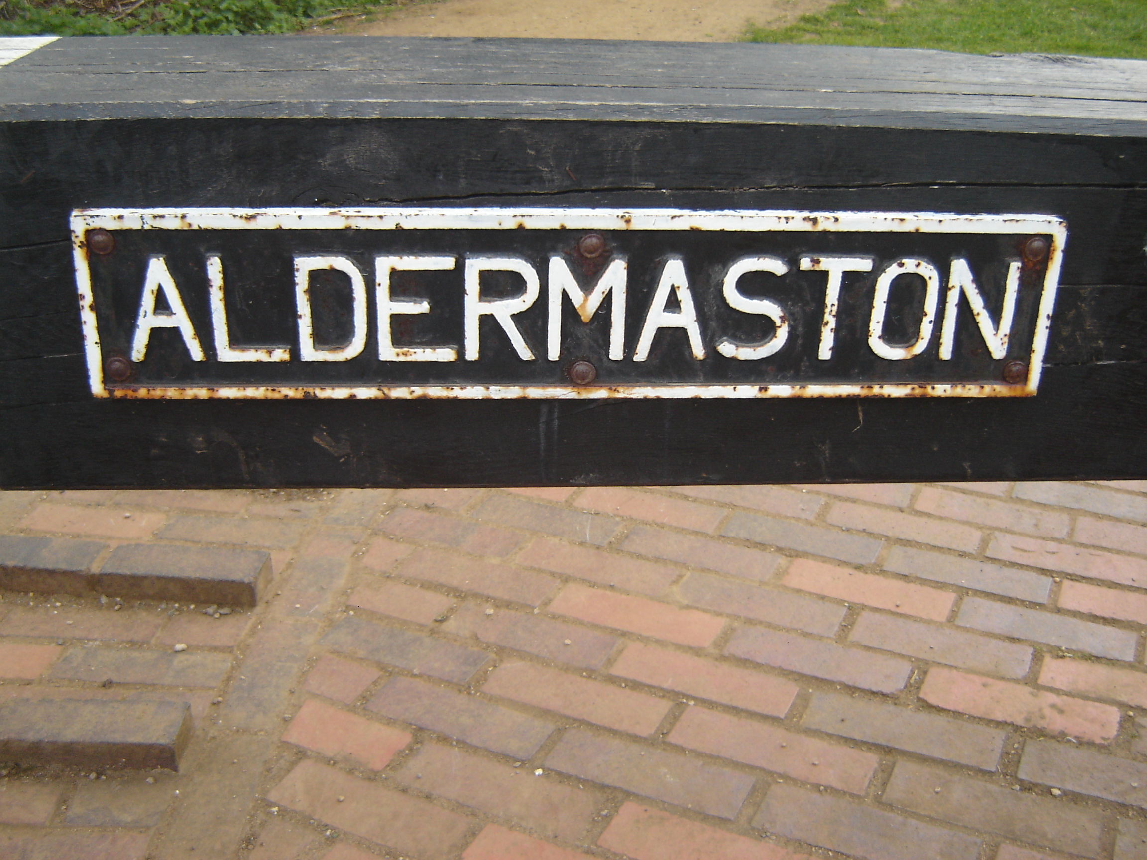
Tidworth: South Tidworth where the parkrun takes place was moved from Hampshire into Wiltshire in 1992 but houses there still have Hampshire on their address for post.
The course for Tamar Lakes is in both Cornwall and Devon however the start and finish are on the Cornwall side so I’ve included it there.
Wolford Wood (now permanently cancelled) is sometimes listed in the South West England region. The actual course was in Warwickshire but it had a Morton-in-Marsh postal address which is in Gloucestershire.
The South West Counties parkrun pages
Click on each of the images below to go to the page with details of the parkrun events for the county. Bristol is included in the Gloucestershire page.


More parkrun posts

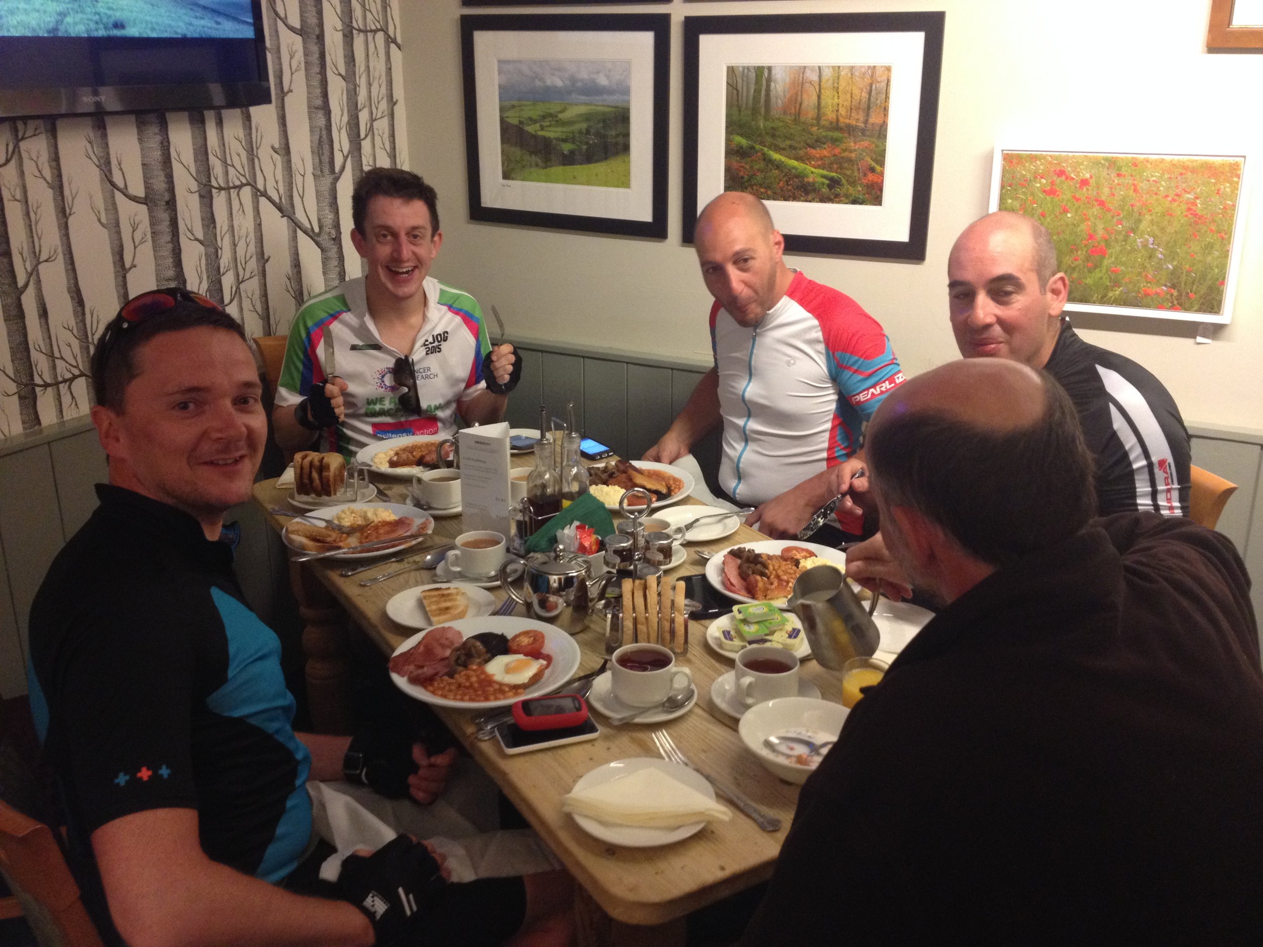
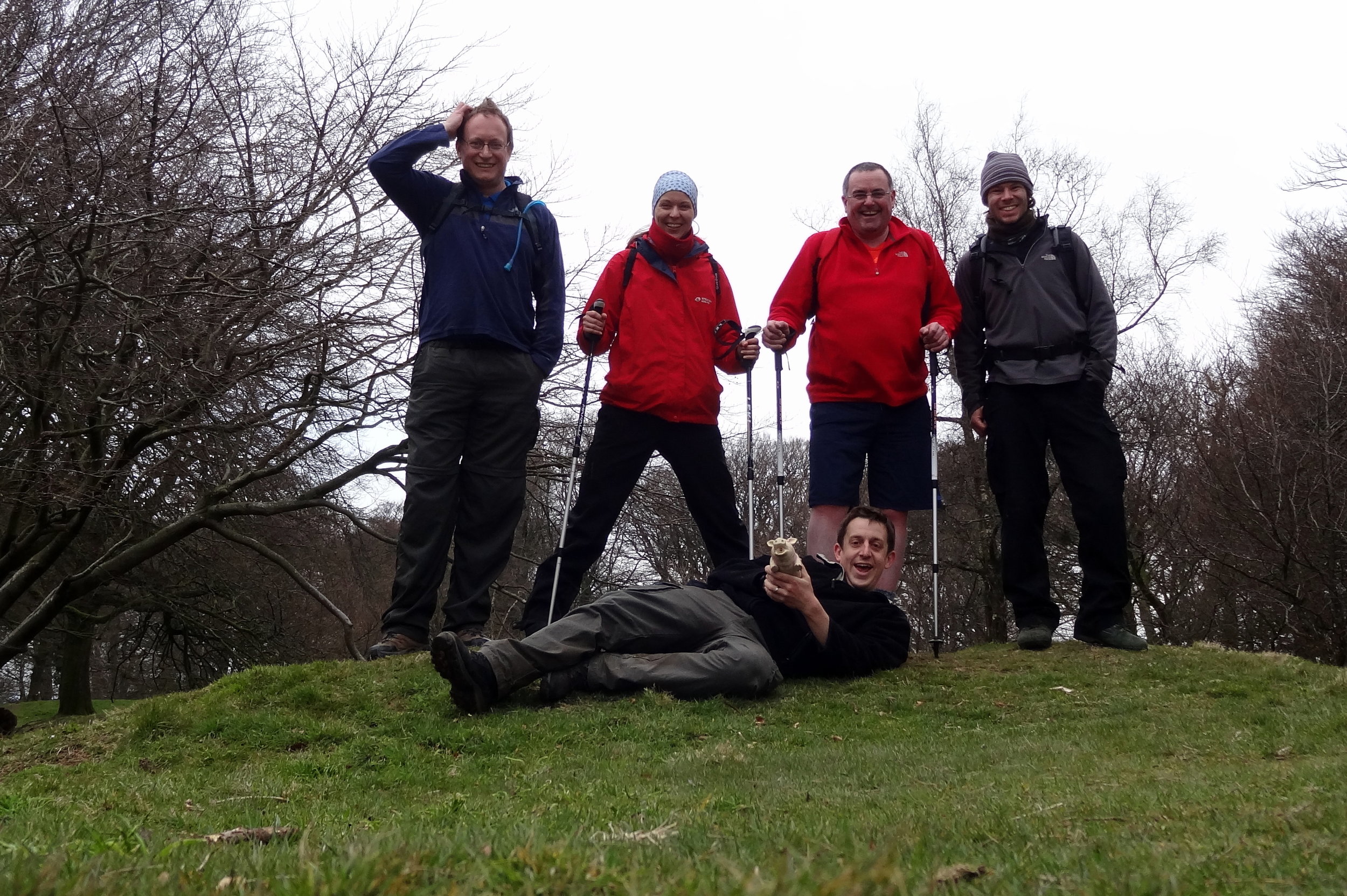
parkruns are free, weekly, community 5k events all around the world. I started in December 2012 and have been obsessive about it ever since. See my parkrun Collection page for details.
Featured and popular parkrun posts: