Posts tagged Cheshire
Peak District County Tops

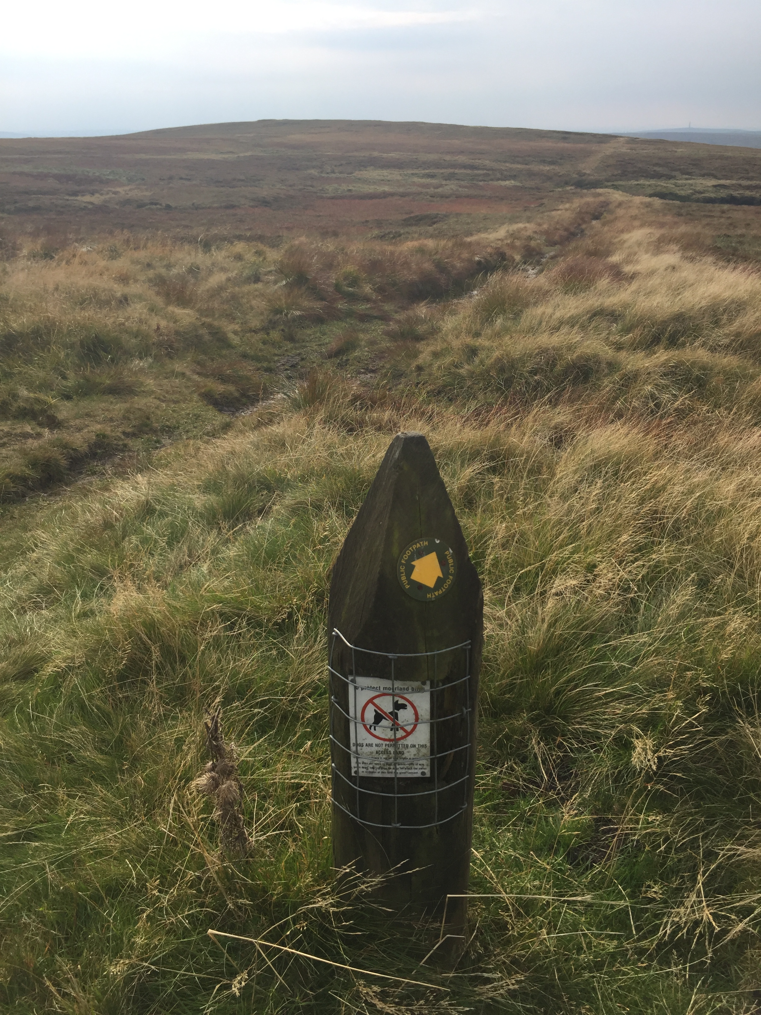
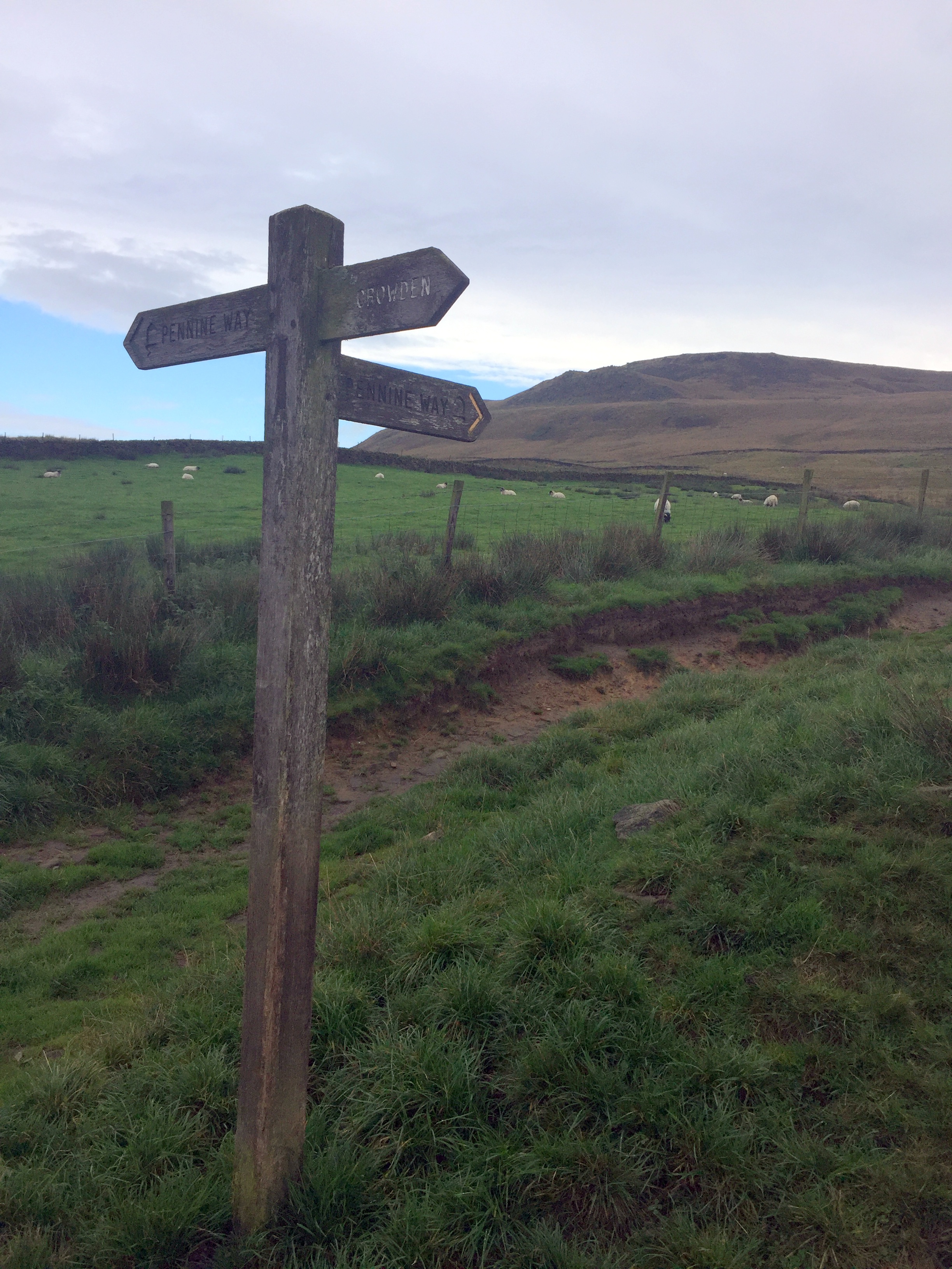
On the Pennine Way between Black Chew Head and Black Hill


Our Peak District trip was the latest in what was now becoming an annual County Top bagging long weekend. We based ourselves at YHA Castleton and did day trips to conquer the historic and some present day county tops in the area.

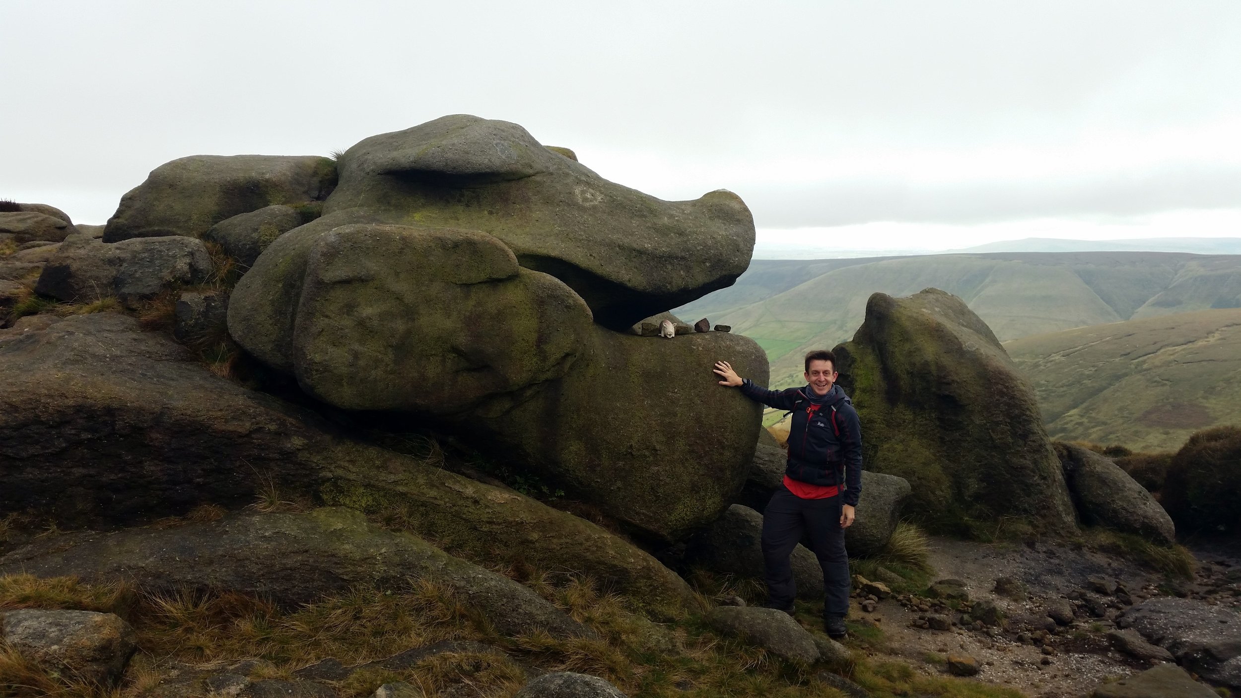
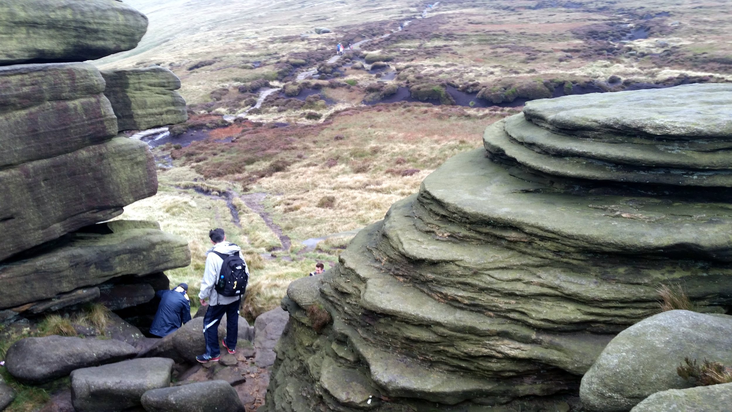
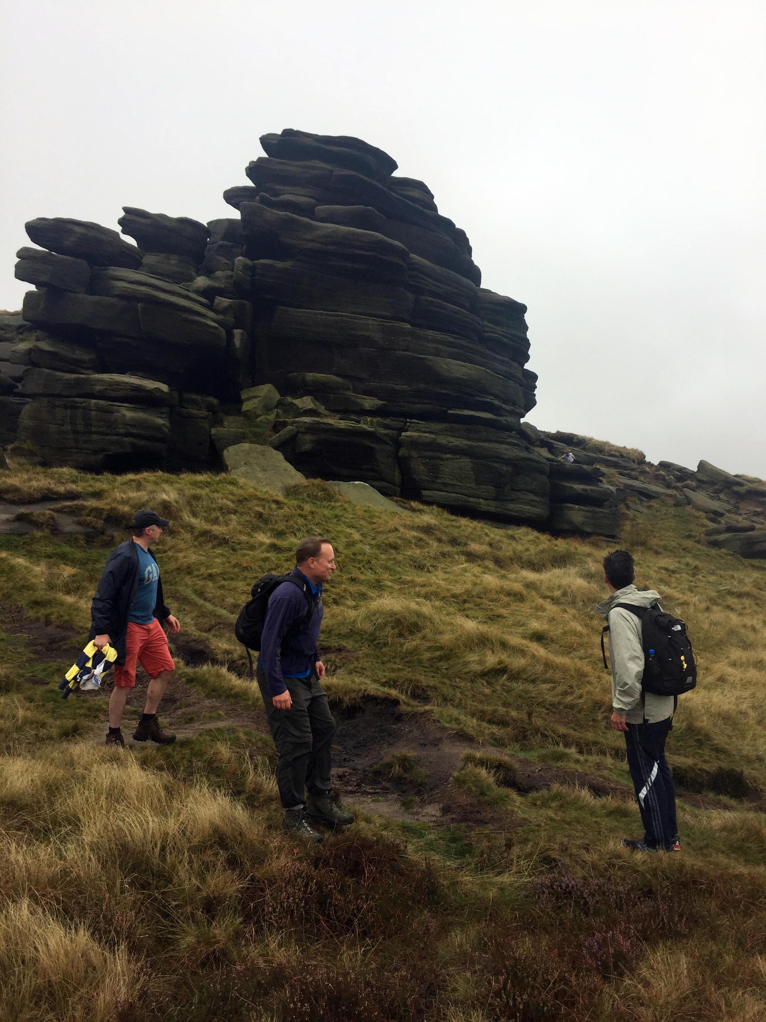
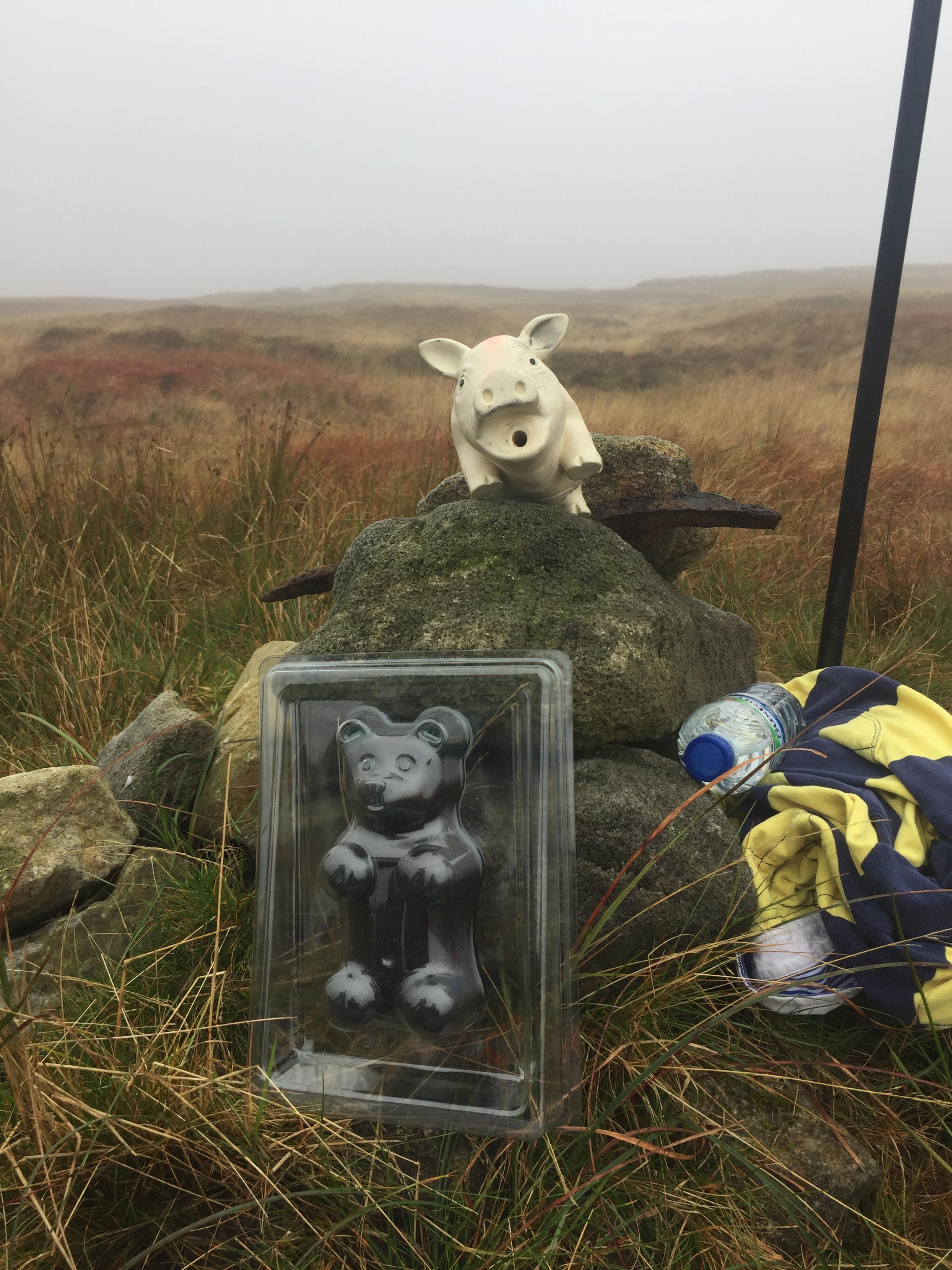
First up wit Kinder Scout, the County Top of Derbyshire and the hugest peak in the area. We started from the car park at Edale station and too an anti clockwise route taking in Grindslow Knoll and Crowden Tower. We had to divert from the route to find the actual summit. With low visibility, drizzly rain and an ambiguous high point we relied on following a GPS bearing. With no Trig Pillar or obvious summit market we decided that the big stick on a clump was the summit and declared victory.

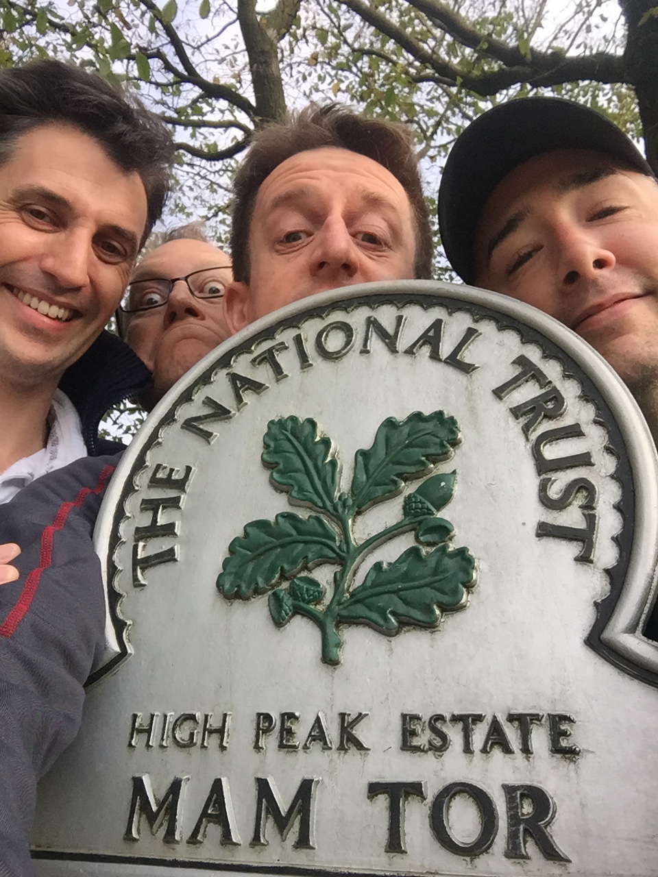
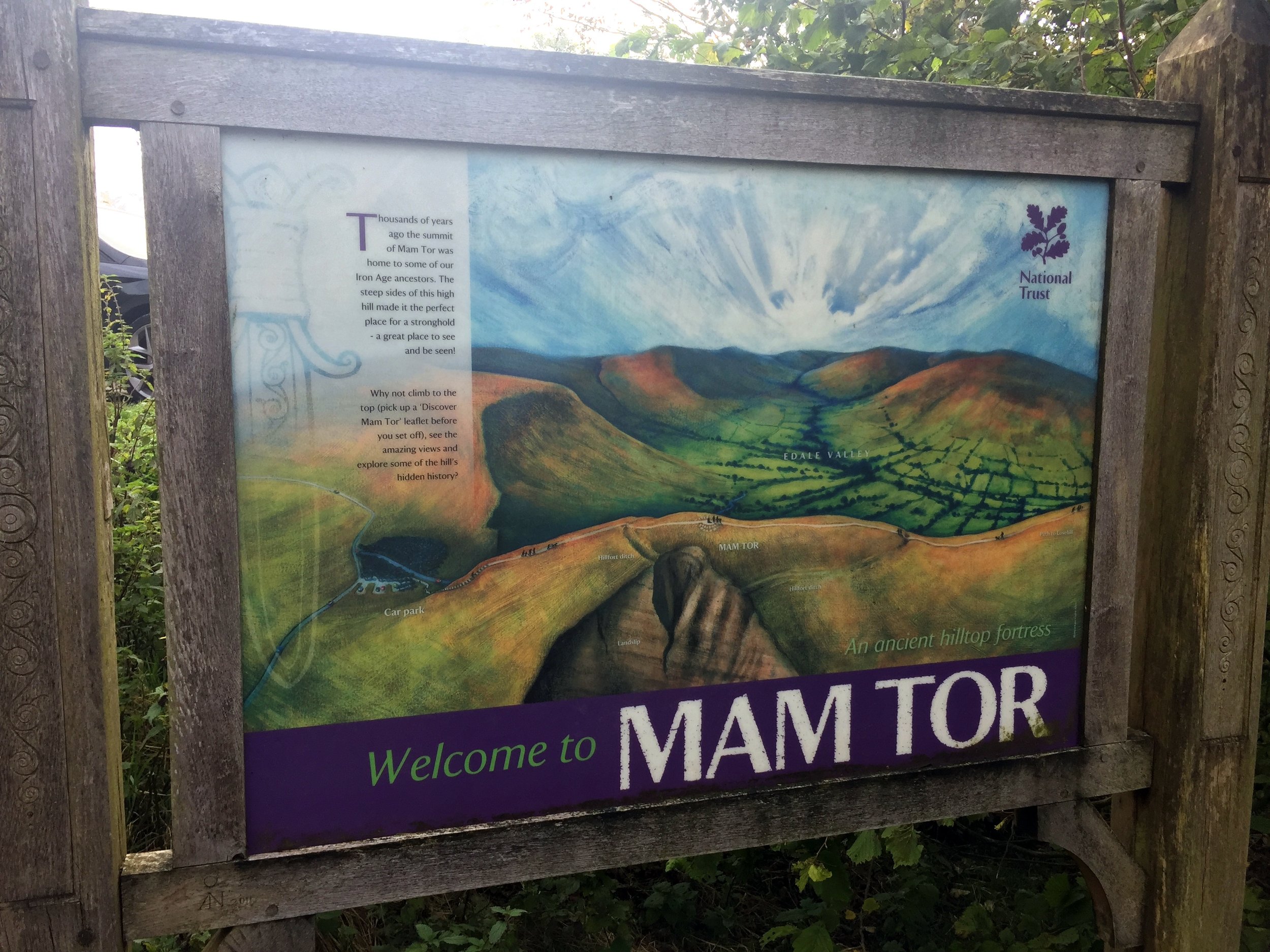
Although neither an historic nor present day County Top, Mam Tor was too iconic to miss. It was also close to our YHA and a quick and easy Trig Point bag, so we ticked it off in the way to Cheeks Hill.

This was the underwhelming peak of the trip. The high point of the historic county of Staffordshire is a short walk across boggy ground to a lonely corner of the county market by a sheep pen. One for County Top completists but at least it’s in the way to Shining Tor. This one makes up for the underwhelm of Cheeks Hill. It’s a short walk but rewarded by a Trig Pillar and good views on a clear day.

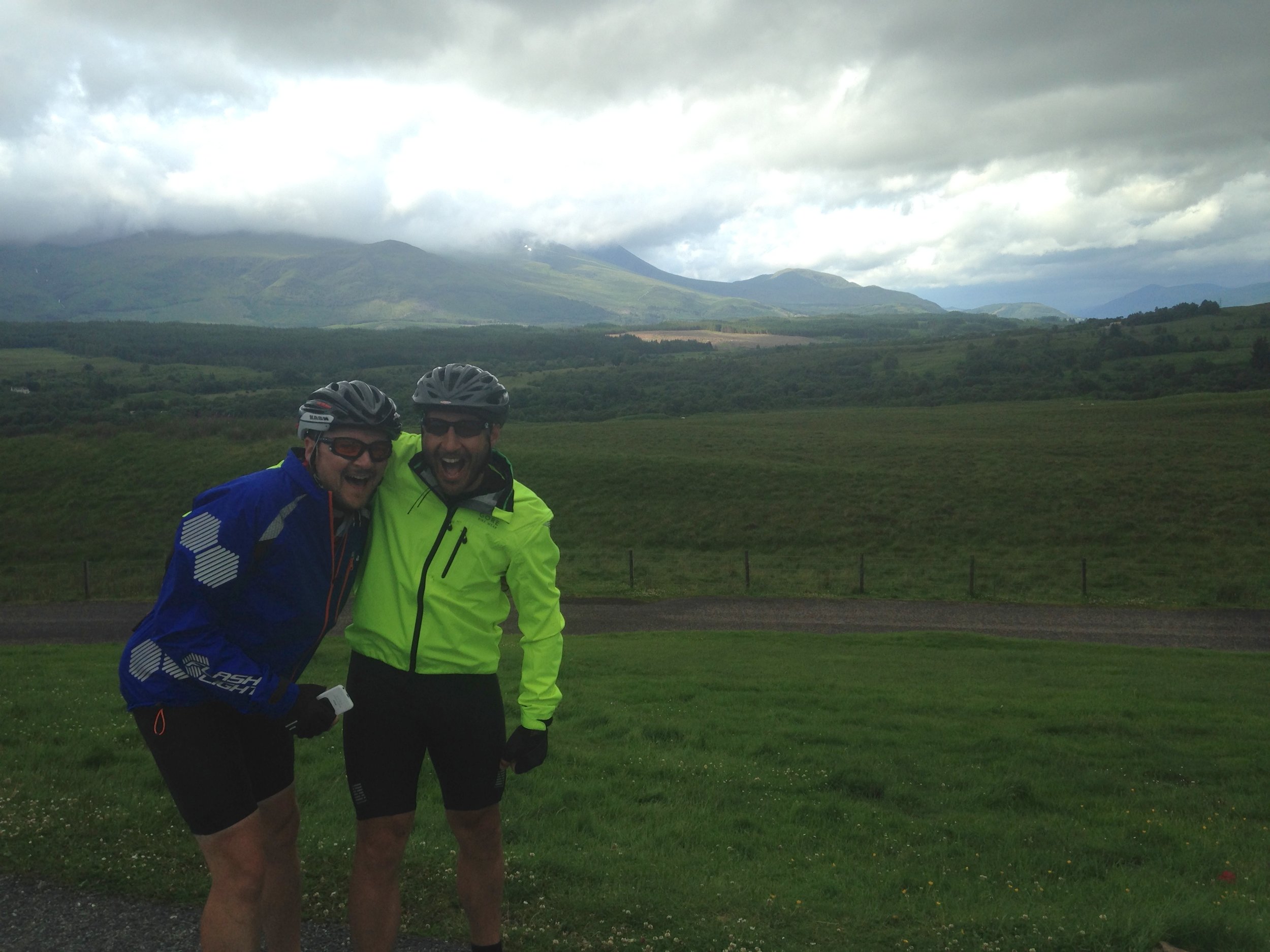
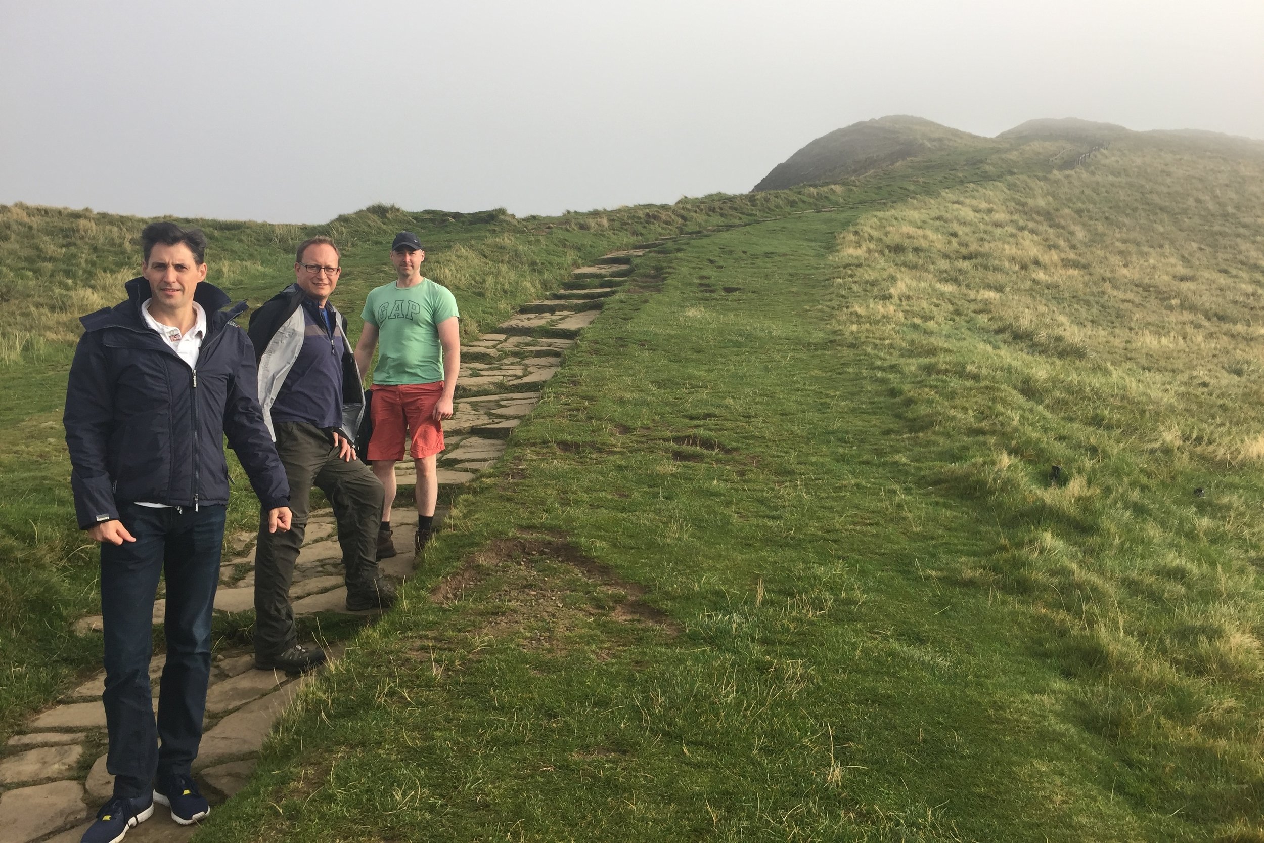
We saved the best walk for last on this trip. In one 8 mile walk you get an historic county top, a present day one and a scenic section of the Pennine Way. This was a point to point walk but we had the advantage of having 2 cars between the group so we could do a 2 car shuffle. We left one in a lay-by on the A635 and parked the other at our starting point at Crowden. For much of the walk we followed the Pennine Way, with a diversion after 3 km to visit Black Chew Head. If Black Hill is all you’re interested in then an out and back from the A635 is simpler.


Kinder Scout

Significance: Highest peak in Derbyshire (Historic CT), Peak District National Park High Point
Member of: Marilyn, Hewitt, Hardy, Nuttall
Parent Peak: Cross Fell. NHN = Fountains Fell South Top
Elevation: 636m
Date climbed: 23rd September 2017
Coordinates: 53°23′0″N 1°52′2″W 

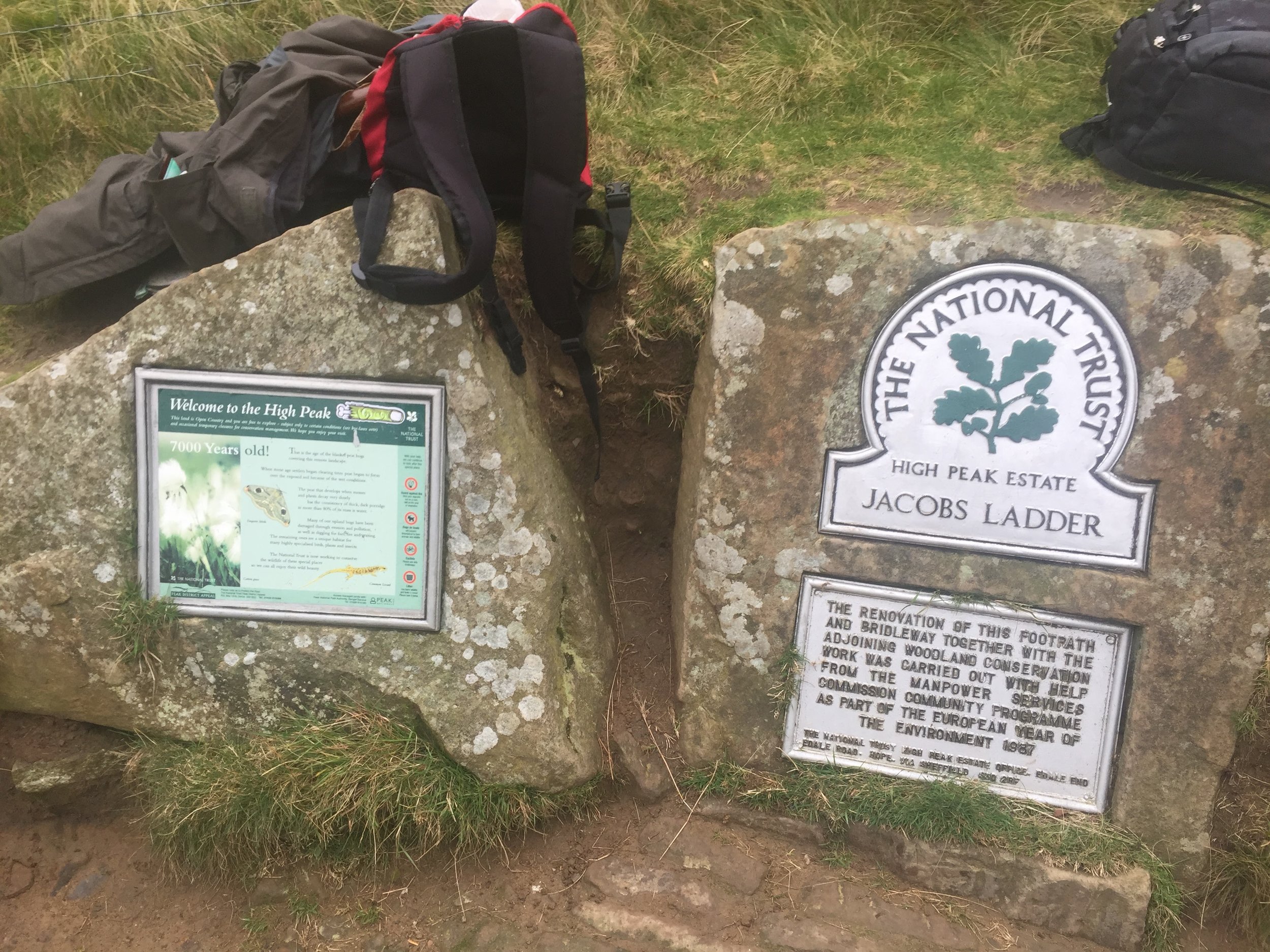
Route Start / End: Car park at Edale Train Station, anti-clockwise circular route via Grindslow Knoll, Crowden Tower and back via Jacobs Ladder
Route Distance: 14 km (8.7 miles)
Route Elevation Change: +/- 480m
Subsidiary tops on route: Grindslow Knoll
GPX File: get via Buy Me a Coffee
Other routes touched (walk): Pennine Way
Other routes touched (cycle): None
Map: OS Explorer OL1 The Peak District - Dark Peak area
Guidebook: The UK's County Tops (Jonny Muir), Walking the County High Points of England (David Bathurst)
Links: Wikipedia (Derbyshire), Wikipedia (Kinder Scout), Peakbagger, Hillbagging, National Trust

Kinder Scout is an icon of the Peak District and extremely popular walk. Strangely though, the summit is amazingly hard to find and most walkers don't stray far from the footpaths to find it. We gave it a good go, taking a bearing from the main trail just west of Pym Chair. After 10 minutes of faffing around we found a pile of stones a stick which may have been the summit. That was good enough for us to call it the peak and celebrate with a 1 kilo, now frozen, gummy bear. 

elevation_profile.jpg

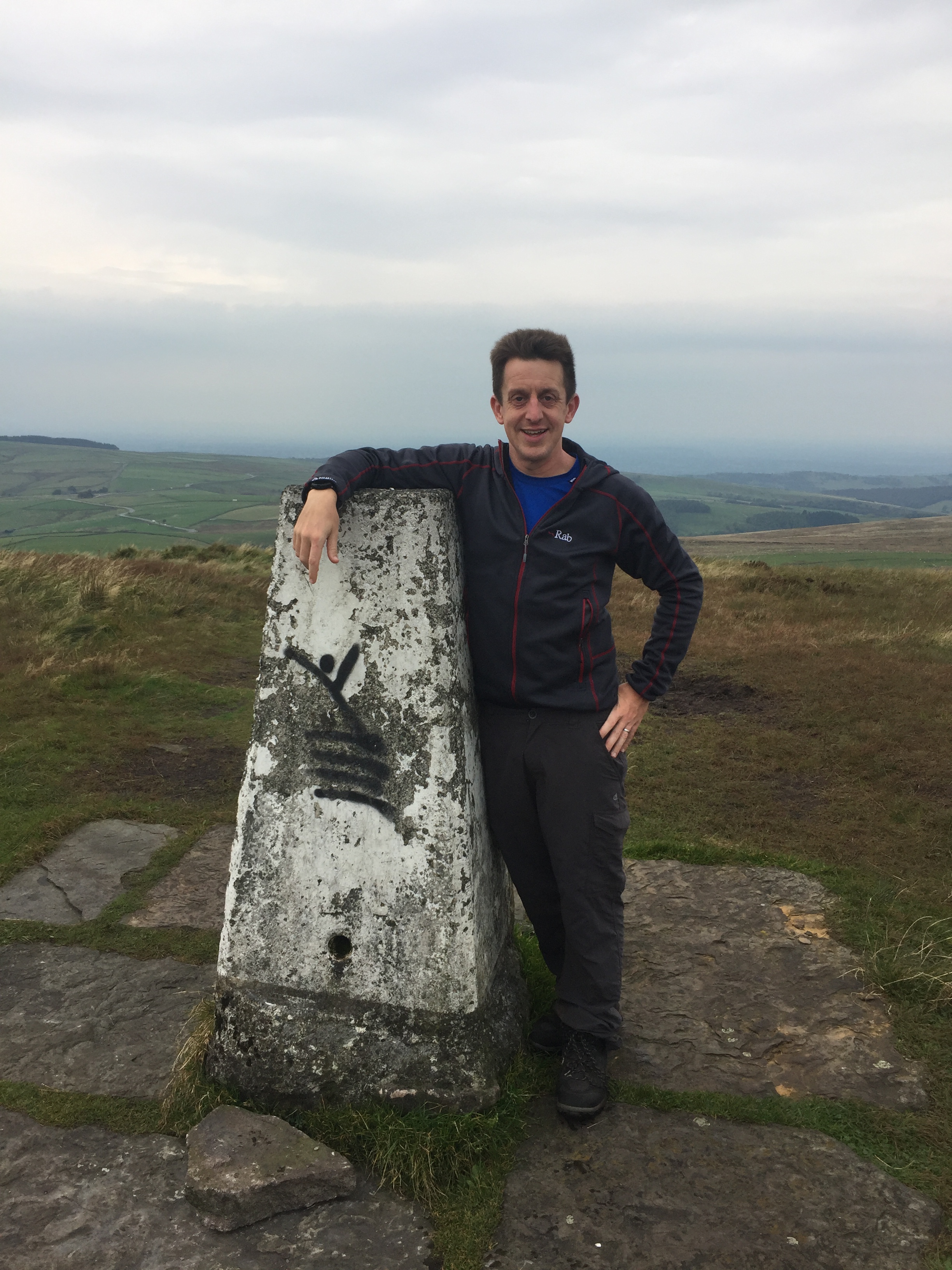
Mam Tor (and Lords Seat)

Significance: N/A
Member of: Dewey
Parent Peak: Kinder Scout. NHN = Lords Seat, then Brown Knoll
Historic County: Derbyshire (of which Kinder Scout is the County Top)
Elevation: 517m
Date climbed: 24th September 2017
Coordinates:  53°20′57″N 1°48′38″W

Route Start / End: Mam Nick Car Park, Sparrowpit, Buxton, S33 8WA
Route Distance: 4.2 km (2.6 miles)
Route Elevation Change: +/- 145m
Subsidiary tops on route: None
GPX File: get via Buy Me a Coffee
Other routes touched: None
OS Trig Pillar: TP4623 - Mam Tor
Map: OS Explorer OL1 The Peak District - Dark Peak area
Links (Mam Tor): Wikipedia, Peakbagger, Hillbagging, National Trust
Links (Lords Seat): Peakbagger, Hillbagging


Cheeks Hill

Also known as: Cheeks Hill-South Slope
Significance: 
Highest peak in Staffordshire (Historic CT)
Member of: N/A
Parent Peak: Shining Tor. NHN = Whetstone Ridge
Elevation: 520m
Date climbed: 24th September 2017
Coordinates: 53°13′31″N 1°57′44″W

Route Start / End: Where Dane Valley Way crosses country road between A53 and A54
Route Distance: 1.5 km ( 0.9 miles)
Route Elevation Change: +/- 25m
Subsidiary tops on route: None
GPX File: get via Buy Me a Coffee
Other routes touched (walk): Dane Valley Way
Other routes touched (cycle): None
Map: OS Explorer OL24 The Peak District
Guidebook: The UK's County Tops (Jonny Muir), Walking the County High Points of England (David Bathurst)
Links: Wikipedia (Cheeks Hill), Peakbagger, Hillbagger

A competitor for the least interesting County Top prize at less than 1 mile and 30 metres of ascent. Only makes sense if done whilst in the area.
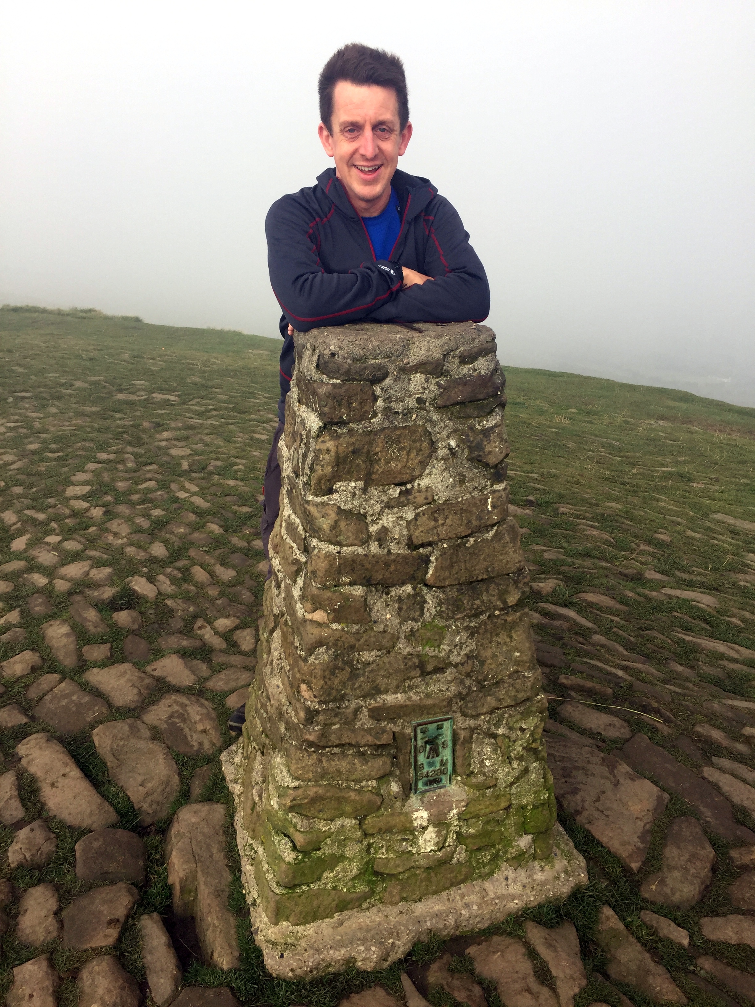
IMG_5156.JPG
elevation_profile - Cheeks Hill.jpg

Shining Tor

Significance: Highest peak in Cheshire (Present Day CT), Cheshire East Unitary Authority High Point
Member of: Marilyn, Dewey
Parent Peak: Black Hill. NHN = Brown Knoll
Historic County: Cheshire (of which Black Hill is the County Top)
Elevation: 559m
Date climbed: 24th September 2017
Coordinates:  53°15′39″N 2°00′34″W

Route Start / End: Car park of Peak View Tea Rooms, A537
Route Distance: 3.3 km (2.0 miles)
Route Elevation Change: +/- 75m
Subsidiary tops on route: None
GPX File: get via Buy Me a Coffee
Other routes touched: None
OS Trig Pillar: TP5950 - Shining Tor
Map: OS Explorer OL24 The Peak District
Guidebook: The UK's County Tops (Jonny Muir), Walking the County High Points of England (David Bathurst)
Links: Wikipedia (Cheshire), Wikipedia (Cheshire East), Wikipedia (Shining Tor), Peakbagger, Hillbagging


Black Chew Head

Significance Highest peak in Greater Manchester (Present Day CT), Oldham Unitary Authority High Point
Member of: Dewey
Parent Peak: Black Hill. NHN = Black Hill
Historic County: Yorkshire (of which Mickle Fell is the County Top)
Elevation: 542m
Coordinates: 53°30′57.96″N 1°55′17.76″W
Links: Wikipedia (Greater Manchester), Wikipedia (Oldham), Wikipedia (Black Chew Head), Peakbagger, Hillbagging

Black Hill

Significance Highest peak in Cheshire (Historic CT), West Yorkshire (Present Day CT), Kirklees Unitary Authority High Point
Member of: Marilyn, Dewey
Parent Peak: Kinder Scout. NHN = Bleaklow Head
Elevation: 582m
Coordinates: 53°32′18″N 1°52′53″W
OS Trig Pillar: TP3980 - Holme Moss
Links: Wikipedia (Cheshire), Wikipedia (West Yorkshire), Wikipedia (Kirklees), Wikipedia (Black Hill), Peakbagger, Hillbagging

For both peaks:

Date climbed: 25th September 2017
Route Start / End: Point to point walk along Pennine Way from Crowden to Greenfield Road
Route Distance: 12.9 km (8 miles)
Route Elevation Change: +531m / -296m. Net 235m
Subsidiary tops on route: None
GPX File: get via Buy Me a Coffee
Other routes touched: The Pennine Way
Map: OS Explorer OL1 The Peak District - Dark Peak area
Guidebook: The UK's County Tops (Jonny Muir), Walking the County High Points of England (David Bathurst)

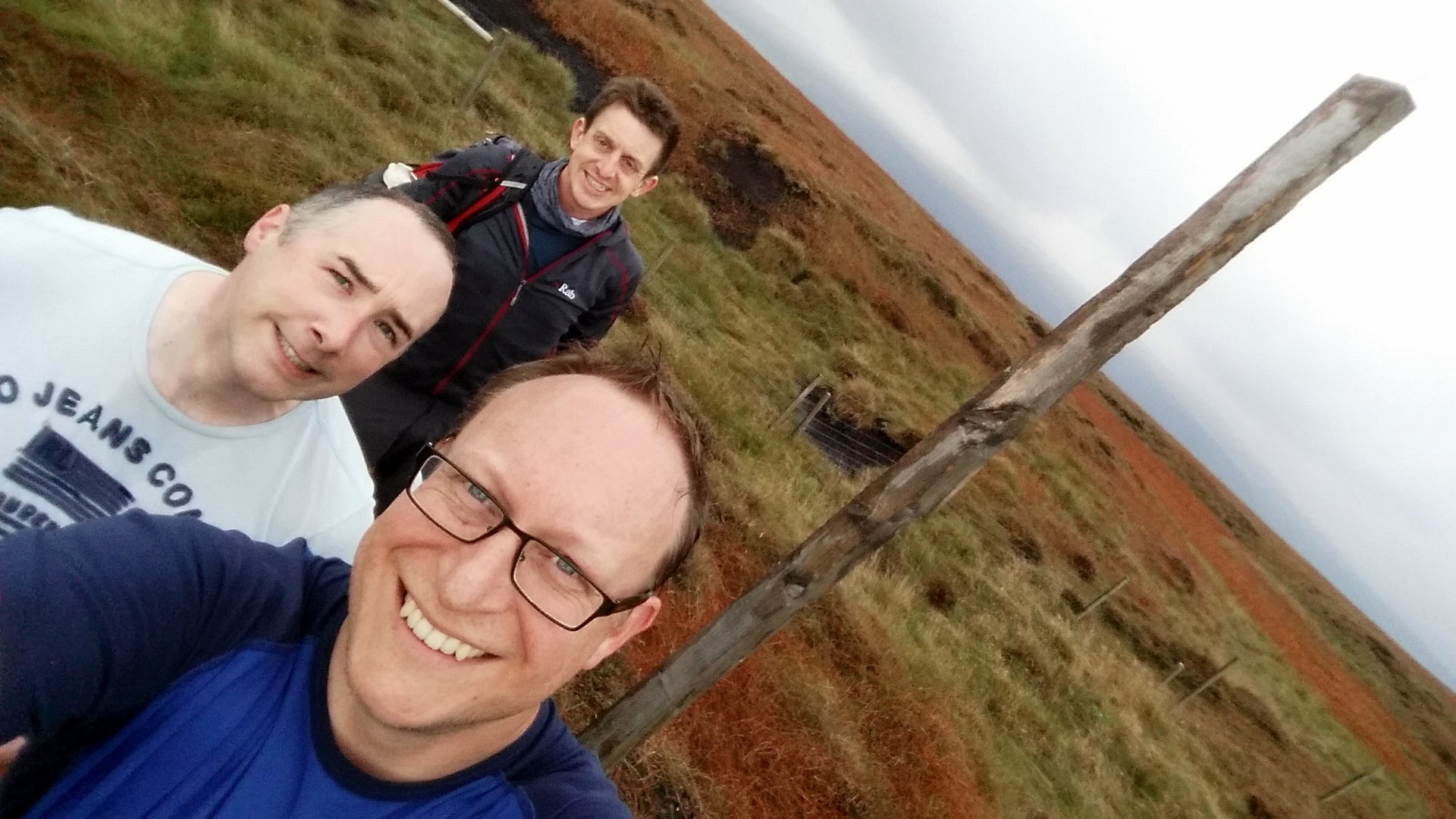
Two County Tops for the price of one in a scenic section of the Pennine Way. The 11 km trek started in Crowden, finishing at the junction of the Pennine Way and the A635. A short diversion from the main path at Laddow Rocks takes you up to Black Chew Head, the high point of Greater Manchester and Oldham. It was a clear day and we found it easily. Be extra careful in low visibility, especially when re-joining the Pennine Way as the path follows a cliff-edge here. Black Hill, the (Historic) County Top of Cheshire is right on the Pennine Way path at around 8km into the trip.

elevation_profile.jpg


Other High Points In Cheshire

Other High Points In Derbyshire

Other High Points In Staffordshire


Cycling from Land's End To John O'Groats
DSC00540.jpg

The Land’s End To John O’Groats (LEJOG) cycle trip had been on my back burner for a very long time. It started 21 years ago when I was planning my Queen’s Scout Award. The Award was similar to the Duke Of Edinburgh Award and required a big expedition. I chose to do a cycling trip and needed to find a route greater than the 200 mile minimum requirement. Andrew, my expedition partner, and I briefly considered LEJOG but the distance was way more than required and, at the time, seemed like a bit too much effort. Maidenhead, our hometown, to Lands End at 350 miles was more like it.

1993: Maidenhead to Land's End

That summer was amazing. The years have probably erased all memories of the tough spots and any bad weather, so all I remember now is endless sunny days and pleasant glides through the South-West countryside. We cycled 60 miles a day, stayed in Youth Hostels and survived on Diet Coke and White Chocolate Magnum ice-creams. The 6 day trip to Land’s End was my first big adventure and it definitely wasn't going to be the last. Ever since then the full Land’s End To John O’Groats trip was something I had to do ... just not right now.

Right after that trip I started working for Mars and the next few years was all about work and socialising. 4 years living abroad was a whole different adventure in itself and the LEJOG idea sunk into the very back of my mind. It was only in my mid-30s that I started to get back into the outdoors in a big way. After the Kilimanjaro trek in 2013 I started planning my next big trip and the LEJOG idea started to bubble up again. Two more things then happened to bring it right to the front. The first was turning 40 and thoughts around finishing off things that I wanted to do. The second was planning the Growlerthon, my fundraising year in memory of my dad who was diagnosed with lung cancer shortly after Kili. Back burner no more .... I had to do LEJOG.

Putting the team together was relatively easy. Slobby did the trip 2 years before and was up for doing it again. Brian, my Kili buddy, was also an easy “yes”. Brian recruited the rest of the team: Martyn and Ray, both from our office and both with different personal charity and fitness goals, and Reggie, Brian's brother. By early January we had the team together and the next few months was all about training and route planning.

We had all heard of different routes, from the 41 hours record to a very sedate month-long LEJOG pub crawl. 2 weeks seemed the most obvious duration as it was about as much time as we could get off work and the 75 mile average day was very manageable. This plan meant we could stay off the busy A roads as much as possible and get as much scenery in as possible. By the time we all met up in Penzance the evening before the start, we had reached a peak of excitement. We had done all we could to prepare, train and fundraise. Now all we had to do was cycle.

We took Day 1 easy, just 35 miles to Falmouth. A little hilly, but nothing to complain about and a good dose of coastal route scenery. It was the next 2 days, Falmouth to Exford, that were the real test. Most people assume that Scotland is the toughest section for hills, but its actually Devon and Cornwall. This is part of the reason to start at Lands-End so that you can knock off the coastal hills while your legs are fresh. This would have been fine, except that I was still getting used to my new road-bike and I still wasn’t used to the gears. There were several points on the first few days when I thought I’d broken my bike by changing to the wrong gear at the wrong time up a hill.

By Day 4 we’d got into a flow, having got used to being together as a team and perfecting the routine of every day on the road. Each day we would get up at around 7:30, have breakfast, kit-up and tackle the first 15 to 20 miles. Then would come morning break, usually coffee and carrot cake, followed by another 20 miles before lunch. The afternoons were similar: 20 miles, then coffee and cake and the final push through to wherever we were staying that evening. We even got the evenings down to a fine art with some of us sorting out payment for the hostel, some sorting out clothes washing whilst the others showered.

Whilst a lot of the process of doing the trip became routine, the adventure was in the route itself. England, Wales and Scotland unfolded before us, showing us some of the best parts of the countryside. Towards the end of the trip we about our favourite parts but there were too many to bring it down to a short-list. Often we would post on Facebook about that day having been the best of the trip, only for the next day to be just a enjoyable or even better. My video of the highlights is probably the best way to explain how amazing the trip was.

One special moment for me was the evening in Wick, our final overnight stop after our longest day at 105 miles. We were less than 2 cycling hours from John O’Groats so there was already a feeling of celebration. We’d already been spared punctures or major injuries so getting to the end was inevitable, even if we had to walk. Wick really has a sense of being at the end of the country. It was fairly bleak, even in summer, and we wondered what people did there. Over a few pints a a curry we talked about the hilly South-West from 2 weeks ago, the exhilarating downhill rides into Exford, the Strawberry Line to Bristol, crossing the Severn Bridge, The Wye Valley, the ferry across the Mersey, the Lake District, Gretna, Arran, the Great Glenn and the Scottish coast. All very different experiences and even more special to have been able to join them up in one self-powered adventure.

After all of that, the final was a bit of an anti-climax. From Wick, we only had 17 miles to go, normally the distance till our first carrot cake stop. This 17 miles contained the most rain we'd had apart from the Lake District. John O’Groats quickly came and we were greeted by Martyn's family and friends who had followed us since Arran. The next part was ultra efficient, disassembling and boxing up the bikes, driving to Inverness airport and boarding the plane to Gatwick. After 2 weeks of being very present and fully focused on the trip, suddenly it was all over. I’d had a nice sense of completion for the adventure that I'd had in my mind for 21 years, but it didn't feel like an end, more the inspiration for something new. From John O’Groats, there's 2 ways to go, North by boat to Orkney or carry on West to Dunnet Head, the mainland’s most northerly point, then the wild Scottish coast. I'm sure I'll be back for both, but a lot sooner than 21 years.


Day 1: Land’s End to Falmouth

Date: July 6th 2015
Start:
Land’s End Visitors Centre, Sennen, Penzance TR19 7AA
Finish:
Falmouth Lodge Backpackers Hostel, 9 Gyllyngvase Terrace, Falmouth, TR11 4DL
Distance: 60.4 km (37.5 miles)
Elevation change: +757m / - 798 m / Net -41m
GPX File: get via Buy Me a Coffee
Other Routes Touched (Cycle): NCN 3
Other Routes Touched (Walk): South West Coast Path


Day 2: Falmouth to Tintagel

Date: July 7th 2015
Start:
Falmouth Lodge Backpackers Hostel, 9 Gyllyngvase Terrace, Falmouth, TR11 4DL
Finish:
YHA Tintagel, Dunderhole Point, Tintagel PL34 0DW
Distance: 88.8 km (55.2 miles)
Elevation Change: +1,333m / - 1,289 m / Net +44m
GPX File: get via Buy Me a Coffee
Other Routes Touched (Cycle): NCN 3, 32
Other Routes Touched (Walk): South West Coast Path


Day 3: Tintagel to Exford

Date: July 8th 2015
Start:
YHA Tintagel, Dunderhole Point, Tintagel PL34 0DW
Finish:
Exford Hostel, Exemead Stables, Exford, Minehead TA24 7PU
Distance: 118.6 km (73.7 miles)
Elevation change: : +1,641m / - 1,457 m / Net -184m
GPX File: get via Buy Me a Coffee
Other Routes Touched (Cycle): NCN 27, 277, 3, 33
Other Routes Touched (Walk): South West Coast Path, Tarka Trail, Macmillan Way West, Two Moors Way, Exe Valley Way


Day 4: Exford to Bristol

Date: July 9th 2015
Start:
Exford Hostel, Exemead Stables, Exford, Minehead, TA24 7PU
Finish:
YHA Bristol, 14 Narrow Quay, Avon, Bristol BS1 4QA
Distance: 122 km (76 miles)
Elevation change: : +875m / - 1,120 m / Net -245m
GPX File: get via Buy Me a Coffee
Other Routes Touched (Cycle): NCN 26 (The Strawberry Line), 3, 33, 334, 41, 410
Other Routes Touched (Walk): Exe Valley Way, Coleridge Way, Macmillan Way West, River Parrett Trail, The Mendip Trail, West Mendip Way, Round Yatton Walk, River Avon Trail,

route-31000079-map-full.png

Day 5: Bristol to Hereford

Date: July 10th 2015
Start:
YHA Bristol, 14 Narrow Quay, Avon, Bristol BS1 4QA
Finish:
East Friars B&B, 33 Greyfriars Avenue, Hereford, HR4 0BE
Distance: 84 km (52.2 miles)
Elevation change: +1,047m / - 1,007 m / Net +40m
GPX File: get via Buy Me a Coffee
Other Routes Touched (Cycle): NCN 4, 41, 410, 42, 423, 46,
Other Routes Touched (Walk): Bristol Triangular City Walk, Severn Way, Wales Coast Path, Wye Valley Walk, Offa’s Dyke Path, Gloucestershire Way, Herefordshire Trail,


Day 6: Hereford to Chester

Date: July 11th 2015
Start:
East Friars B&B, 33 Greyfriars Avenue, Hereford, HR4 0BE
Finish:
Grotty hotel in Chester City Centre, CH1 3DU
Distance: 149.4 km (92.8 miles)
Elevation change: +1,035m / - 1,066 m / Net -31m
GPX File: get via Buy Me a Coffee
Other Routes Touched (Cycle): NCN 44, 45, 455, 81,
Other Routes Touched (Walk): Herefordshire Trail, Shropshire Way, Jack Mytton Way, Severn Way, Llangolen Canal Towpath, Maelor Way, Marches Way, Baker Way, Two Saints Way, Shropshire Union Canal Towpath,


Day 7: Chester to Morecambe

Date: July 12th 2015
Start:
Grotty hotel in Chester City Centre, CH1 3DU
Finish:
The Morecambe Bay Hotel, 317-318 Marine Rd Central, Morecambe LA4 5AA
Distance: 122.9 km (76.4 miles)
Elevation change: +627m / - 642 m / Net -15m
GPX File: get via Buy Me a Coffee
Other Routes Touched (Cycle): NCN 56, 568, 6, 62, 622, 69, 810,
Other Routes Touched (Walk): Shropshire Union Canal Towpath, Longster Trail, North Cheshire Way, Ribble Way, Lancaster Canal Towpath,


Day 8: Morecambe to Carlisle

Date: July 13th 2015
Start:
The Morecambe Bay Hotel, 317-318 Marine Rd Central, Morecambe LA4 5AA
Finish:
YHA Carlisle (now permanently closed), Bridge Ln, Carlisle CA2 5SR
Distance: 123.2 km (76.5 miles)
Elevation change: +1,172m / - 1,161 m / Net +11m
GPX File: get via Buy Me a Coffee
Other Routes Touched (Cycle): NCN 10, 6, 69, 7, 70, 71, 700
Other Routes Touched (Walk): Lancashire Coastal Way, Cumbria Coastal Way, Coast To Coast Walk, Cumbria Way,


Day 9: Carlisle to New Cumnock

Date: July 14th 2015
Start:
YHA Carlisle (now permanently closed), Bridge Ln, Carlisle CA2 5SR
Finish:
Old School B&B, Dalleagles, New Cumnock, East Ayrshire, KA18 4QW
Distance: 126.5 km (78.6 miles)
Elevation change: +921m / - 707 m / Net -214m
GPX File: get via Buy Me a Coffee
Other Routes Touched (Cycle): NCN 10, 7, 72
Other Routes Touched (Walk): Hadrian’s Wall Path, Annandale Way, Southern Upland Way,


Day 10: New Cumnock to Lochgilphead

Date: July 15th 2015
Start:
Old School B&B, Dalleagles, New Cumnock, East Ayrshire, KA18 4QW
Finish:
Empire Lodge B&B, Union St Lochgilphead, Lochgilphead, PA31 8JS,
Distance: 131.8 km (81.9 miles)
Elevation change: +1,213m / -1,437 m / Net -224m
GPX File: get via Buy Me a Coffee
Other Routes Touched (Cycle): NCN 7, 73, 78
Other Routes Touched (Walk): River Ayr Way, New Town Trail, Arran Coastal Way, Kyntire Way

elevation_profile Day 10C.jpg


Day 11: Lochgilphead to Fort William

Date: July 16th 2015
Start:
Empire Lodge B&B, Union St Lochgilphead, Lochgilphead, PA31 8JS,
Finish:
Glen Nevis Youth Hostel, Glen Nevis, Fort William PH33 6SY
Elevation change: 135.6 km (84.3 miles)
Ascent: +1,554m / -1,535 m / Net -19m
GPX File: get via Buy Me a Coffee
Other Routes Touched (Cycle): NCN 78
Other Routes Touched (Walk): Great Glen Way, West Highland Way


Day 12: Fort William to Inverness

Date: July 17th 2015
Start:
Glen Nevis Youth Hostel, Glen Nevis, Fort William PH33 6SY
Finish:
Inverness Youth Hostel, Victoria Dr, Inverness IV2 3QB
Elevation change: 107.9 km (67 miles)
Ascent: +1,197m / -1,206 m / Net -9m
GPX File: get via Buy Me a Coffee
Other Routes Touched (Cycle): NCN 1, 7, 78
Other Routes Touched (Walk): West Highland Way, East Highland Way, Great Glen Way


Day 13: Inverness to Wick

Date: July 18th 2015
Start:
Inverness Youth Hostel, Victoria Dr, Inverness IV2 3QB
Finish:
Harbour House B&B, 12 Harbour Terrace, Wick KW1 5HB
Distance: 167.1 km (103.8 miles)
Elevation change: +1,471m / - 1,486 m / Net -15m
GPX File: get via Buy Me a Coffee
Other Routes Touched (Cycle): NCN 1
Other Routes Touched (Walk): none


Day 14: Wick to John O’ Groats

Date: July 19th 2015
Start:
Harbour House B&B, 12 Harbour Terrace, Wick KW1 5HB
Finish:
John O’ Groats Visitors Centre, John O' Groats, Wick KW1 4YR
Distance: 27.6 km (17.1 miles)
Elevation change: +203m / - 213 m / Net -10m
GPX File: get via Buy Me a Coffee
Other Routes Touched (Cycle): NCN 1
Other Routes Touched (Walk): none