West Midlands Region parkruns
The parkrun Regionnaire status used to be a major part of parkrun tourism. Changes in the parkrun website in 2019 removed the regions making it harder to track completion status. All is not lost though as here’s the complete parkrun guide to what’s in and what’s out of the counties of the West Midlands.
The West Midlands is a diverse and geographically contrasting region of the UK, situated in the western half of central England, acting as a vital transport hub and sharing a long, scenic border with Wales. The region is composed of six ceremonial counties: Herefordshire, Shropshire, Staffordshire, Warwickshire, Worcestershire, and the West Midlands (a heavily urbanised ceremonial county sharing the region's name, formed from land previously belonging to the three historic counties of Staffordshire, Worcestershire, and Warwickshire).
Geographically, the West Midlands is characterised by its striking transition from industrial heartlands to rolling rural topography, most notably across the Shropshire Hills: a sweeping Area of Outstanding Natural Beauty spanning the Welsh Marches. It contains the dramatic, ancient ridge of the Malvern Hills (predominantly in Worcestershire and Herefordshire) and the sprawling, historic lowland heath of Cannock Chase. Landscapes across the region are varied, ranging from the rugged gritstone edges of the Staffordshire Moorlands to the extensive industrial canal networks of the Black Country and the lush, meandering valley of the River Severn.
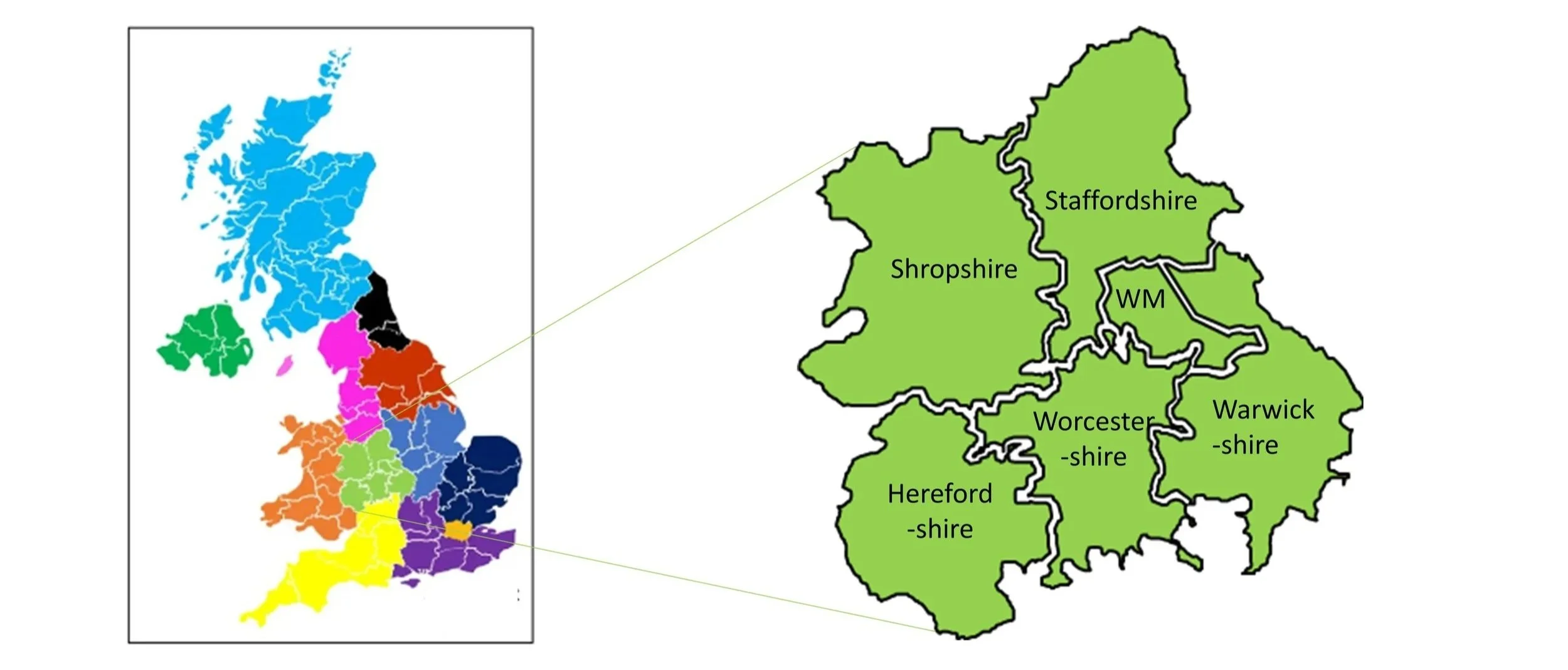
parkrun event numbers per county
There are currently 51 parkrun events in the counties of the West Midlands region.
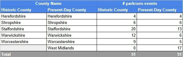
Notes and exceptions.
The West Midlands ceremonial county contains 16 parkrun events that were formerly in 3 historic counties: 7 Staffordshire, Warwickshire and Worcestershire.
The West Midlands Counties parkrun pages
Click on each of the images below to go to the page with details of the parkrun events for the county.





More parkrun posts

parkruns are free, weekly, community 5k events all around the world. I started in December 2012 and have been obsessive about it ever since. See my parkrun Collection page for details.
Featured and popular parkrun posts:
Completing all West Midlands parkruns

There are currently 17 parkrun events in the present-day county of West Midlands, of which I have completed 1. The first was Coventry which started on 6th February 2010 and the newest is Cofton Park which started on 8th August 2026. The name for having completed all parkrun events in the county is “West Didlands”.
Numbers exclude 2k Junior parkruns and any events that are not open to the general public such as prisons or armed forces facilities.

All of the West Midlands parkrun events …
Below are each of the West Midlands 5k parkrun events in alphabetical order. A few things to note:
The interactive maps below take you to the approximate location for the course, typically the centre of the park. See the course instructions in the parkrun page for each event for specific directions to the start.
Course maps and elevation profiles show the route at the time that I ran it and may have changed since then. See the Course page in the event’s page on parkrun.org.uk for the current course outline. Note that course outlines are from Garmin data during a specific run and may vary from the officially measured distance.
Please contact me if you spot an event that doesn’t have a course map and elevation profile and you would like to donate one from your own run. I’m also interested in maps and elevation profiles for courses that have changed or where there’s a regular alternative route (e.g. Horsham). I’ll need a GPX file from your run plus the date. I’ll include a credit for you and will donate £1 to parkrun.
Aston Hall
This parkrun event has been permanently cancelled. I did not complete this event before it was closed.
Historic County: Warwickshire
Ceremonial County: West Midlands
Inaugural: October 14th 2023. Final event: #34 on August 24th 2024
Reason for cancellation: Due a lack of core team. The local football club foundation had invested heavily into the event and made commitments in the process which were then never fully fulfilled. Unfortunately, there is no nearby running club and the local community also didn’t embrace the arrival of parkrun. This meant despite lots of effort by the ambassadors and local other parkruns no core team was ever built and most runners each week were tourists being no regular volunteer base could be established.
Links: Event Home Page
Babbs Mill
I have not yet completed this event
Historic County: Warwickshire
Ceremonial County: West Midlands
Inaugural: 3rd August 2019
Links: Event Home Page, Course Page
Brueton
I have not yet completed this event
Historic County: Warwickshire
Ceremonial County: West Midlands
Inaugural: 24th July 2010
Links: Event Home Page, Course Page
Brunswick Park
I have not yet completed this event
Historic County: Staffordshire
Ceremonial County: West Midlands
Inaugural: 1st January 2022
Links: Event Home Page, Course Page
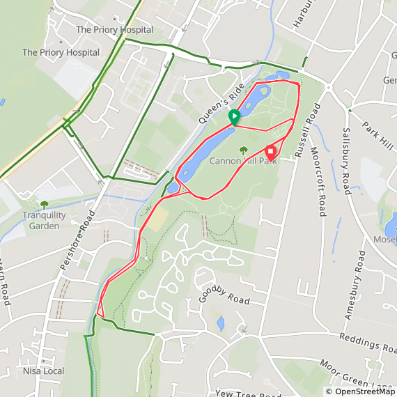
Cannon Hill
I have not yet completed this event
Historic County: Worcestershire
Ceremonial County: West Midlands
Inaugural: 28th August 2010
Links: Event Home Page, Course Page
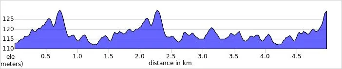
Cofton Park
I have not yet completed this event
Historic County: Worcestershire
Ceremonial County: West Midlands
Inaugural: 8th August 2026
Links: Event Home Page, Course Page
Coventry
I have not yet completed this event
Historic County: Warwickshire
Ceremonial County: West Midlands
Inaugural: 6th February 2010
Links: Event Home Page, Course Page
Dudley
I have not yet completed this event
Historic County: Staffordshire
Ceremonial County: West Midlands
Inaugural: 4th November 2017
Links: Event Home Page, Course Page
East Park
I have not yet completed this event
Historic County: Staffordshire
Ceremonial County: West Midlands
This event is also part of parkrun Compass Club
Inaugural: 9th November 2019
Links: Event Home Page, Course Page
Edgbaston Reservoir
I have not yet completed this event
Historic County: Warwickshire
Ceremonial County: West Midlands
Inaugural: 14th August 2021
Links: Event Home Page, Course Page
Holbrooks
I have not yet completed this event
Historic County: Warwickshire
Ceremonial County: West Midlands
Inaugural: 5th August 2023
Links: Event Home Page, Course Page
Oaklands
I have not yet completed this event
Historic County: Worcestershire
Ceremonial County: West Midlands
Inaugural: 9th November 2019
Links: Event Home Page, Course Page
Perry Hall
I have not yet completed this event
Historic County: Staffordshire
Ceremonial County: West Midlands
Inaugural: 22nd November 2014
Links: Event Home Page, Course Page
Sandwell Valley
I have not yet completed this event
Historic County: Staffordshire
Ceremonial County: West Midlands
Inaugural: 23rd December 2017
Links: Event Home Page, Course Page
Sutton Park
I have not yet completed this event
Historic County: Warwickshire
Ceremonial County: West Midlands
Inaugural: 18th August 2018
Links: Event Home Page, Course Page
Walsall Arboretum
I have not yet completed this event
Historic County: Staffordshire
Ceremonial County: West Midlands
Inaugural: 10th March 2012
Links: Event Home Page, Course Page
Wolverhampton
I have not yet completed this event
Historic County: Staffordshire
Ceremonial County: West Midlands
Inaugural: 9th February 2013
Links: Event Home Page, Course Page
Woodgate Valley Country Park
I have not yet completed this event
Historic County: Worcestershire
Ceremonial County: West Midlands
Inaugural: 7th August 2021
Links: Event Home Page, Course Page
More parkrun posts

parkruns are free, weekly, community 5k events all around the world. I started in December 2012 and have been obsessive about it ever since. See my parkrun Collection page for details.
Featured and popular parkrun posts:
Completing all Staffordshire parkruns

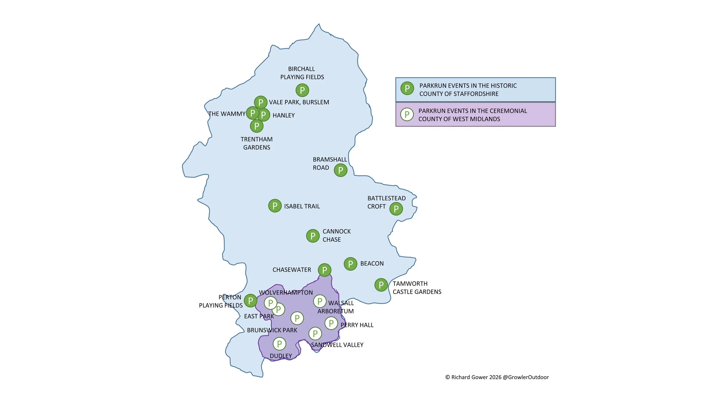
There are currently 13 parkrun events in the present-day county of Staffordshire, of which I have not yet completed any. The first was Hanley parkrun which started on 24th September 2011 and the newest is Vale Park, Burslem parkrun which started on 11th July 2026. The name for having completed all parkrun events in the county is “Fully Staffed”.
7 parkrun events that were formerly in the historic county of Staffordshire are now in the ceremonial county of West Midlands. These are: Brunswick Park, Dudley, East Park, Perry Hall, Sandwell Valley, Walsall Arboretum and Wolverhampton.
Numbers exclude 2k Junior parkruns and any events that are not open to the general public such as prisons or armed forces facilities.
All of the Staffordshire parkrun events …
Below are each of the Staffordshire 5k parkrun events in alphabetical order. A few things to note:
The interactive maps below take you to the approximate location for the course, typically the centre of the park. See the course instructions in the parkrun page for each event for specific directions to the start.
Course maps and elevation profiles show the route at the time that I ran it and may have changed since then. See the Course page in the event’s page on parkrun.org.uk for the current course outline. Note that course outlines are from Garmin data during a specific run and may vary from the officially measured distance.
Please contact me if you spot an event that doesn’t have a course map and elevation profile and you would like to donate one from your own run. I’m also interested in maps and elevation profiles for courses that have changed or where there’s a regular alternative route (e.g. Horsham). I’ll need a GPX file from your run plus the date. I’ll include a credit for you and will donate £1 to parkrun.
Battlestead Croft
I have not yet completed this event
Historic County: Staffordshire
Ceremonial County: Staffordshire
Inaugural: 9th December 2023
Links: Event Home Page, Course Page
Beacon
I have not yet completed this event
Historic County: Staffordshire
Ceremonial County: Staffordshire
Inaugural: 18th January 2020
Links: Event Home Page, Course Page
Birchall Playing Fields
I have not yet completed this event
Historic County: Staffordshire
Ceremonial County: Staffordshire
Inaugural: 14th December 2024
Links: Event Home Page, Course Page
Bramshall Road
I have not yet completed this event
Historic County: Staffordshire
Ceremonial County: Staffordshire
Inaugural: 28th May 2022
Links: Event Home Page, Course Page
Cannock Chase
I have not yet completed this event
Historic County: Staffordshire
Ceremonial County: Staffordshire
Inaugural: 19th November 2016
Links: Event Home Page, Course Page
Chasewater
I have not yet completed this event
Historic County: Staffordshire
Ceremonial County: Staffordshire
Inaugural: 15th June 2019
Links: Event Home Page, Course Page
Hanley
I have not yet completed this event
Historic County: Staffordshire
Ceremonial County: Staffordshire
Inaugural: 24th September 2011
Links: Event Home Page, Course Page
Isabel Trail
I have not yet completed this event
Historic County: Staffordshire
Ceremonial County: Staffordshire
Inaugural: 8th December 2018
Links: Event Home Page, Course Page
Perton Playing Fields
I have not yet completed this event
Historic County: Staffordshire
Ceremonial County: Staffordshire
Inaugural: 29th November 2025
Links: Event Home Page, Course Page
Tamworth Castle Grounds
I have not yet completed this event
Historic County: Staffordshire
Ceremonial County: Staffordshire
While the town of Tamworth is historically divided between Staffordshire and Warwickshire, the Castle Grounds themselves traditionally fall within the historic county borders of Warwickshire but the parkrun course is within the ceremonial county of Tamworth.
Inaugural: 14th October 2023
Links: Event Home Page, Course Page
The Wammy
I have not yet completed this event
Historic County: Staffordshire
Ceremonial County: Staffordshire
Inaugural: 24th March 2018
Links: Event Home Page, Course Page
Trentham Gardens
I have not yet completed this event
Historic County: Staffordshire
Ceremonial County: Staffordshire
Inaugural: 5th February 2022
Links: Event Home Page, Course Page
Vale Park, Burslem
I have not yet completed this event
Historic County: Staffordshire
Ceremonial County: Staffordshire
Inaugural: 11th July 2026
Links: Event Home Page, Course Page
More parkrun posts

parkruns are free, weekly, community 5k events all around the world. I started in December 2012 and have been obsessive about it ever since. See my parkrun Collection page for details.
Featured and popular parkrun posts:
West Midlands High Points
The West Midlands, a Ceremonial County in the heart of England, was formed ass result of a series of political and administrative changes that took place over centuries. Before the creation of the West Midlands, the region was divided into Staffordshire, Warwickshire and Worcestershire, The Local Government Act of 1974 marked a significant turning point in the history of the West Midlands. This legislation abolished the existing county boundaries and created a new county, the West Midlands. Today the 7 sub-divisions of the West Midlands are Metropolitan Boroughs.
For county-top hill-baggers, the region is, be honest, not very interesting. There’s a few good views but they’re mostly drive-bys in areas you’re not likely to go to unless you lived there or had an obscure hill-bagging obsession. If you’re in the latter camp, here’s a guide to the high points of the West Midlands. Click on the Blog Post link for each summit shown below for details on each.


Birmingham
Highest Point: Rednall Hill North Top, 250m
Historic County of High Point: Worcestershire (of which Worcestershire Beacon is the County Top)
OS Trig Pillar: N/A, nearest is TP4411 - Lickey Hill
Links: Blog Post, Wikipedia (Birmingham), Peakbagger
Flag shown is the official flag of Birmingham

Coventry
Highest Point: Corley Moor, 167m
Historic County of High Point: Warwickshire (of which Ebrington Hill is the County Top)
OS Trig Pillar: N/A, nearest is TP2413 - Corley Resr
Links: Blog Post, Wikipedia (Coventry), Peakbagger
Flag shown is the official flag of Coventry

Dudley
Highest Point: Cawney Hill, 251m
Historic County of High Point: Staffordshire (of which Cheeks Hill is the County Top)
OS Trig Pillar: N/A, nearest is TP1060 - Barrow Hill
Links: Blog Post, Wikipedia (Dudley), Peakbagger
Flag shown is the work of Andy Underscore

Sandwell
Highest Point: Turner’s Hill, 271m
Historic County of High Point: Staffordshire (of which Cheeks Hill is the County Top)
OS Trig Pillar: N/A, nearest is TP6743 - Warley Resr
Links: Blog Post, Wikipedia (Sandwell, Turner’s Hill), Peakbagger
Flag shown is the work of Andy Underscore

Solihull
Highest Point: Meigh’s Wood, 185m
Historic County of High Point: Warwickshire (of which Ebrington Hill is the County Top)
OS Trig Pillar: N/A, nearest is TP3975 - Hollyberry End
Links: Blog Post, Wikipedia (Solihull), Peakbagger
Flag shown is the work of jet_man1990

Walsall
Highest Point: Barr Beacon, 227m
Historic County of High Point: Staffordshire (of which Cheeks Hill is the County Top)
OS Trig Pillar: TP1049 - Barr Beacon Resr
Links: Blog Post, Wikipedia (Walsall, Barr Beacon), Peakbagger
Flag shown is the work of Andy Underscore

Wolverhampton
Highest Point: Sedgley Beacon, 235m
Historic County of High Point: Staffordshire (of which Cheeks Hill is the County Top)
OS Trig Pillar: N/A, nearest is TP5243 - Orton Hill
Links: Blog Post, Wikipedia (Wolverhampton, Beacon Hill), Peakbagger
Flag shown is the work of Andy Underscore

The Metropolitan Boroughs of West Midlands, with the highest points grouped by Historical County.
Note that not all of each Metropolitan Borough was fully inside each Historical County shown here.
Turner’s Hill: Sandwell High Point

View to Birmingham from Turner’s Hill
Significance: Metropolitan Borough High Point for Sandwell
Parent Peak: Walton Hill
Nearest Higher Neighbour: The Four Stones
Historic County: Staffordshire (of which Cheeks Hill is the County Top)
Elevation: 271m
Date climbed: July 27th 2024
Coordinates: 52° 29' 46'' N, 2° 2' 57'' W
OS Trig Pillar: N/A, nearest is TP6743 - Warley Resr
Route Start / End: Dudley Golf Club, Turner's Hill, Rowley Regis, B65 9DP
Route Distance: 1.2 km (0.75 miles)
Route Elevation Change: +/- 6m
GPX File: get via Buy Me a Coffee
Other routes touched (walk): None
Map: Wolverhampton & Dudley Map | Stourbridge & Kidderminster | Ordnance Survey | OS Explorer Map 219
Links: Wikipedia (Sandwell, Turner’s Hill), Peakbagger
At 271m elevation, Turner’s Hill is the highest point in the Metropolitan Borough of Sandwell and the West Midlands Ceremonial county. We’d had an afternoon of bagging the boring high points of other West Midlands UAs and saved the “big one” to the end. We parked at Dudley Golf Club although it’s probably for members only. It was late in the afternoon and a party was kicking off in the clubhouse so no-one seemed to notice.
From the Golf Club walk south down Turner’s Hill road until you get to the gates of the transmitter station. This is the furthest you can get to the summit on a public right of way. We managed to get a bit closer though, by re-tracing our steps back towards the club house and taking the footpath on the right. This passes the north edge of a field of horses where we found a hole in the fence where we could cross the field to get right up to the transmitter. It’s still not the absolute highest point but close enough for us. There’s also good views from the field.


Cawney Hill: Dudley High Point
Significance: Metropolitan Borough High Point for Dudley
Parent Peak: Walton Hill
Nearest Higher Neighbour: Turner’s Hill
Historic County: Staffordshire (of which Cheeks Hill is the County Top)
Elevation: 251m
Date climbed: July 27th 2024
Coordinates: 52° 30' 19'' N, 2° 4' 14'' W
OS Trig Pillar: N/A, nearest is TP1060 - Barrow Hill
Route Start / End: On-street parking at Shirley Road, Dudley, DY2 7DH
Route Distance: <1 km (<1 miles)
Route Elevation Change: +/- 5m
GPX File: get via Buy Me a Coffee
Other routes touched (walk): None
Map: Wolverhampton & Dudley Map | Stourbridge & Kidderminster | Ordnance Survey | OS Explorer Map 219
Links: Wikipedia (Dudley), Peakbagger
Cawney Hill is the high point of the Metropolitan Borough of Dudley, within the Historic County of Staffordshire and Ceremonial County of West Midlands.
This was the dullest of an afternoon of dull high points in the West Midlands. It was the quickest one too as there’s free on-street parking a few metres from the “summit”. From the corner of Bennett’s Hill (road) and Shirley Road take follow the steps up the hill then take the footpath on the left heading north west. After a couple of metres take a right onto a small path that leads to a bench. Apparently this is the high point of Dudley but there appeared to be (inaccessible) higher ground further to east. Note that Hillbagging posts have the high point at the fence of the Cawney Hill transmitter compound at the end of East Street. Alternatively there’s the access road to the transmitter off Hilltop Road. All of these are at 251m elevation and, given the dullness of the area, I didn’t feel the need to bag all the possible points.


Sedgley Beacon: Wolverhampton High Point
Also known as: Sedgley Beacon - East Slope
Significance: Metropolitan Borough High Point for Wolverhampton
Parent Peak: Walton Hill
Nearest Higher Neighbour: Cawney Hill
Historic County: Staffordshire (of which Cheeks Hill is the County Top)
Elevation: 235m
Date climbed: July 27th 2024
Coordinates: 52° 32' 51'' N, 2° 6' 51'' W
OS Trig Pillar: N/A, nearest is TP5243 - Orton Hill
Route Start / End: Parking spot near 62 Beacon Ln, Sedgley, Dudley DY3 1NA
Route Distance: <1 km (<1 miles)
Route Elevation Change: +/- 6m
GPX File: get via Buy Me a Coffee
Other routes touched (walk): Limestone Walk
Map: Wolverhampton & Dudley Map | Stourbridge & Kidderminster | Ordnance Survey | OS Explorer Map 219
Links: Wikipedia (Wolverhampton, Beacon Hill), Peakbagger
Sedgley Beacon is the high point of the Metropolitan Borough of Wolverhampton, within the Historic County of Staffordshire and Ceremonial County of West Midlands.
This is definitely one for the completists as you’re highly unlikely to visit this place unless you live there or are high-point bagging. We noted the line in the Wikipedia article: “By 2024, the area was being plagued with anti social behaviour, vandalism and car thefts.” and decided not to hang around. You can drive almost to Beacon Tower, however you need to park at the gates at the end of Beacon Lane and take the footpath for the final few metres. However, bagging the Beacon doesn’t mean that you’ve got the high point of Wolverhampton as the border with Dudley is on the other side of the tower. You can’t get to the actual Wolverhampton high point but you can get close if you walk or drive around the corner to the #38 Monument Lane, a small cul-de-sac off the main Monument Lane. There’s some metal railings at the end of the road where you could imagine a nice view.


Barr Beacon: Walsall High Point

Barr Beacon War Memorial
Significance: Metropolitan Borough High Point for Walsall
Parent Peak: Walton Hill
Nearest Higher Neighbour: Turner’s Hill
Historic County: Staffordshire (of which Cheeks Hill is the County Top)
Elevation: 227m
Date climbed: July 27th 2024
Coordinates: 52° 34' 24'' N, 1° 54' 40'' W
Route Start / End: Parking at Beacon Road, Aldridge, Walsall, WS9 0QW
Route Distance: 0.8 km (0.5miles)
Route Elevation Change: +/- 4m
GPX File: get via Buy Me a Coffee
Other routes touched (walk): Beacon Way
OS Trig Pillar: TP1049 - Barr Beacon Resr
Map: Birmingham Map | Walsall, Solihull & Redditch | Ordnance Survey | OS Explorer Map 220
Links: Wikipedia (Walsall, Barr Beacon), Peakbagger
Barr Beacon is the high point of the Metropolitan Borough of Walsall, within the Historic County of Staffordshire and Ceremonial County of West Midlands.
After our Wrekin walk earlier in the day we got talking to a guy in a pub where we were having lunch. He overheard our conversation about the day’s hill-bagging and offered us some advice. For Barr Beacon his main advice was “don’t go there unless you want to have your car stolen” … and especially don’t go there at night. We couldn’t really tell if he was joking or not but we were definitely going to bag it and had no intention of going there at night anyway.
Barr Beacon is a high, narrow ridge with views to the east and west. There’s a large car park at the top and the summit, near the War Memorial, can be done in a few minutes. We got there early afternoon on a Saturday and, although there were some dodgy looking cars, there were also families around having picnics.
The OS Trig Pillar is a little further north from the high point and in private land protected by a metal fence. There’s a spot in the fence with a post missing to the right of the road where it curves down the hill. If you can find that you can squeeze through and climb through the hedge into the field to bag the pillar. It’s fairly unpleasant as you need to climb over some fly-tipped debris and avoid the tree that has been used as a toilet.
Having bagged the high point and Tig Pillar we were happy to see that our cars were still there.


Castle Ring: Cannock Chase National Landscape High Point
Significance: National Landscape High Point for Cannock Chase
Parent Peak: Walton Hill
Nearest Higher Neighbour: Cawney Hill
Historic County: Staffordshire (of which Cheeks Hill is the County Top)
Elevation: 242m
Date climbed: July 27th 2024
Coordinates: 52° 42' 49'' N, 1° 56' 15'' W
Route Start / End: Parking area for Castle Ring Scheduled Ancient Monument Holly Lane, WS15 4RN
Route Distance: >1 km (>1 miles)
Route Elevation Change: +/- 10m
GPX File: get via Buy Me a Coffee
Other routes touched (walk): E2 Hiking Trail Birmingham
Map: Cannock Chase & Chasewater Map | Stafford, Rugeley & Cannock | Ordnance Survey | OS Explorer Map 244
Links: Wikipedia (Cannock Chase, Castle Ring), Peakbagger
Castle Ring is an Iron Age hill fort and the highest point of the Cannock Chase National Landscape. I’ve heard that there’s a lot of great walking in Cannock Chase but that will need to wait for another day as we were on a mission to bag a lot of high points that day.
We did this as a quick drive-by with a 15 minute walk from the free car park. According to the coordinates in peakbagger the Cannock Chase high point is right in the centre of the ring. The man-made outer circle is higher so we walked round the top of it to the high point on the western edge. You can take a faint path through the vegetation to cross the centre, bag the high point and exit on the south-eastern side.


Peak District County Tops
On the Pennine Way between Black Chew Head and Black Hill
Our Peak District trip was the latest in what was now becoming an annual County Top bagging long weekend. We based ourselves at YHA Castleton and did day trips to conquer the historic and some present day county tops in the area.
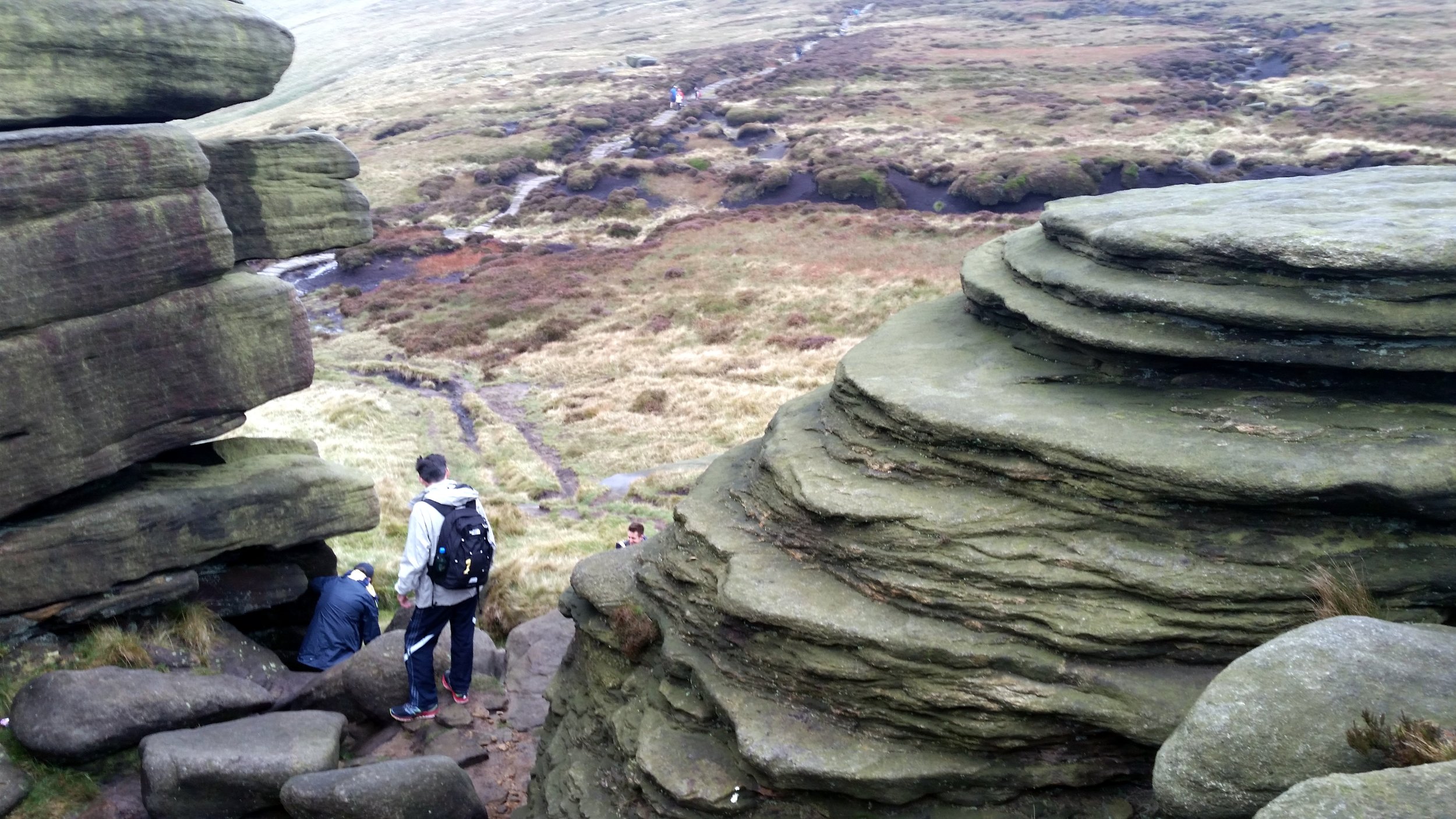
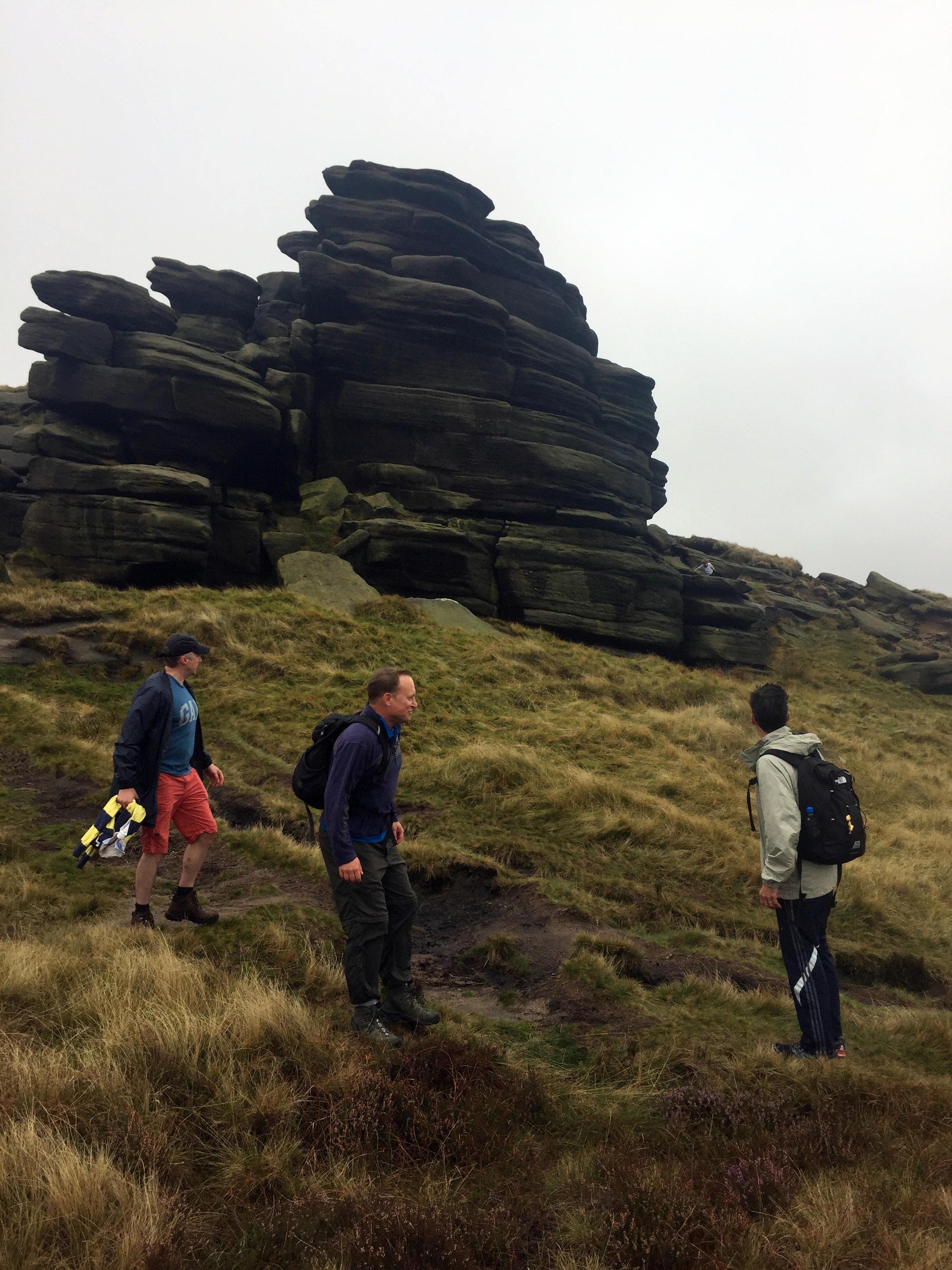
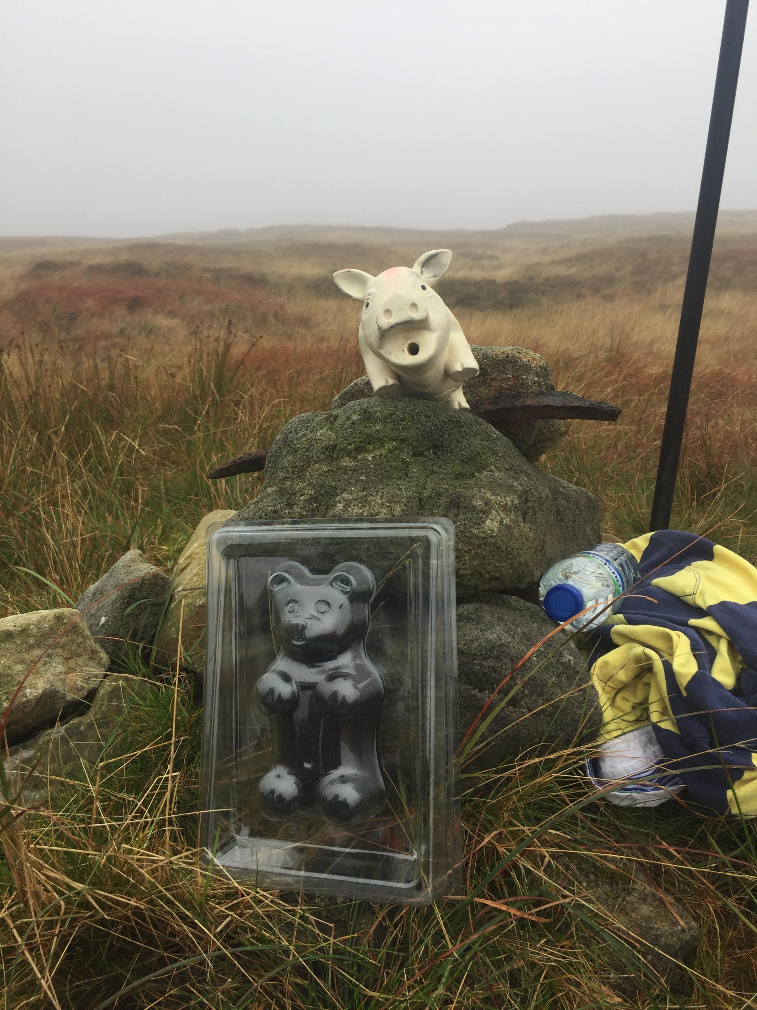
First up wit Kinder Scout, the County Top of Derbyshire and the hugest peak in the area. We started from the car park at Edale station and too an anti clockwise route taking in Grindslow Knoll and Crowden Tower. We had to divert from the route to find the actual summit. With low visibility, drizzly rain and an ambiguous high point we relied on following a GPS bearing. With no Trig Pillar or obvious summit market we decided that the big stick on a clump was the summit and declared victory.
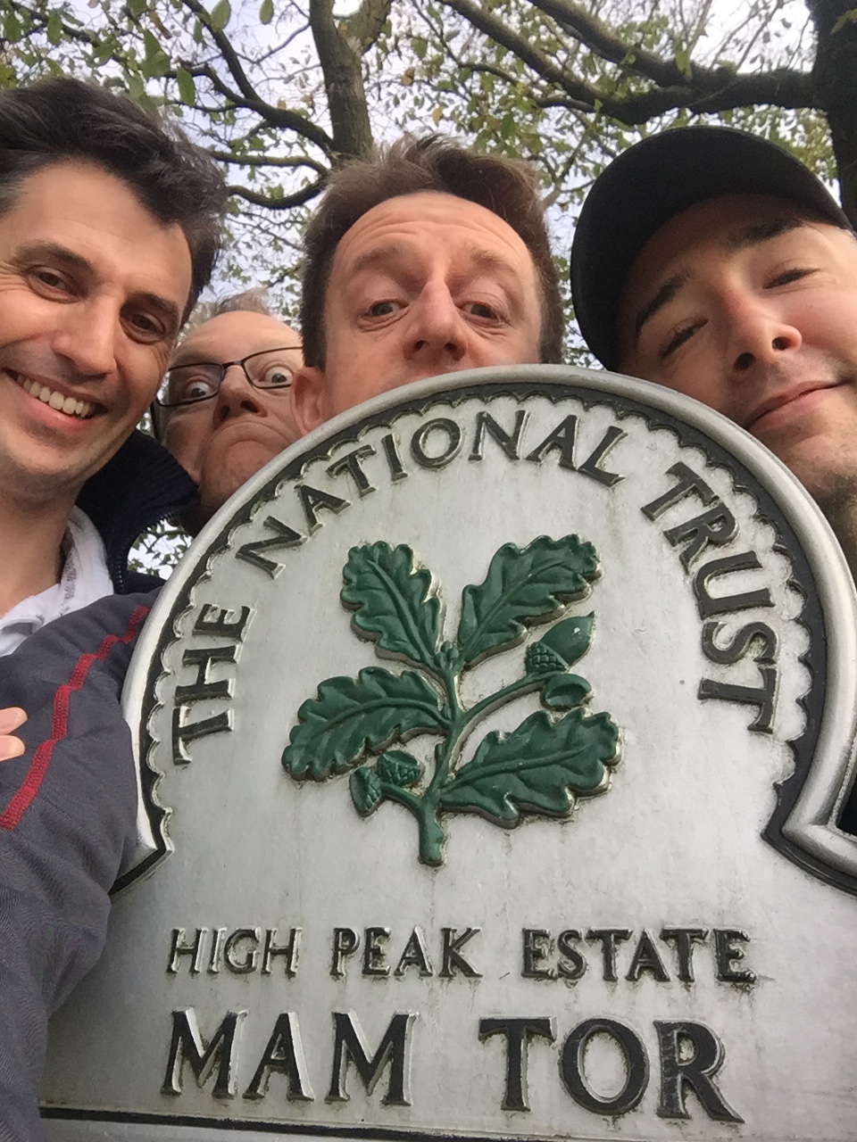
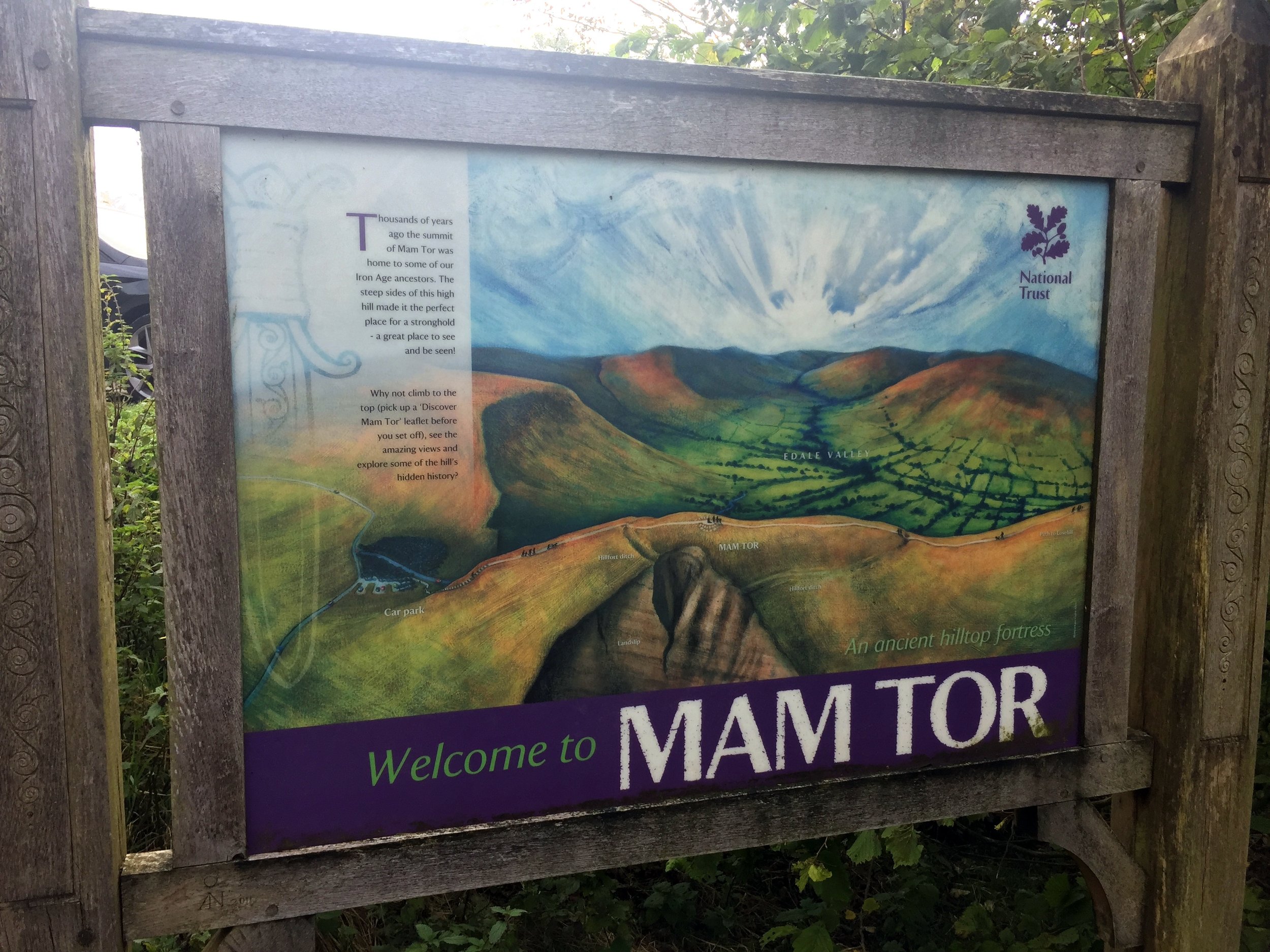
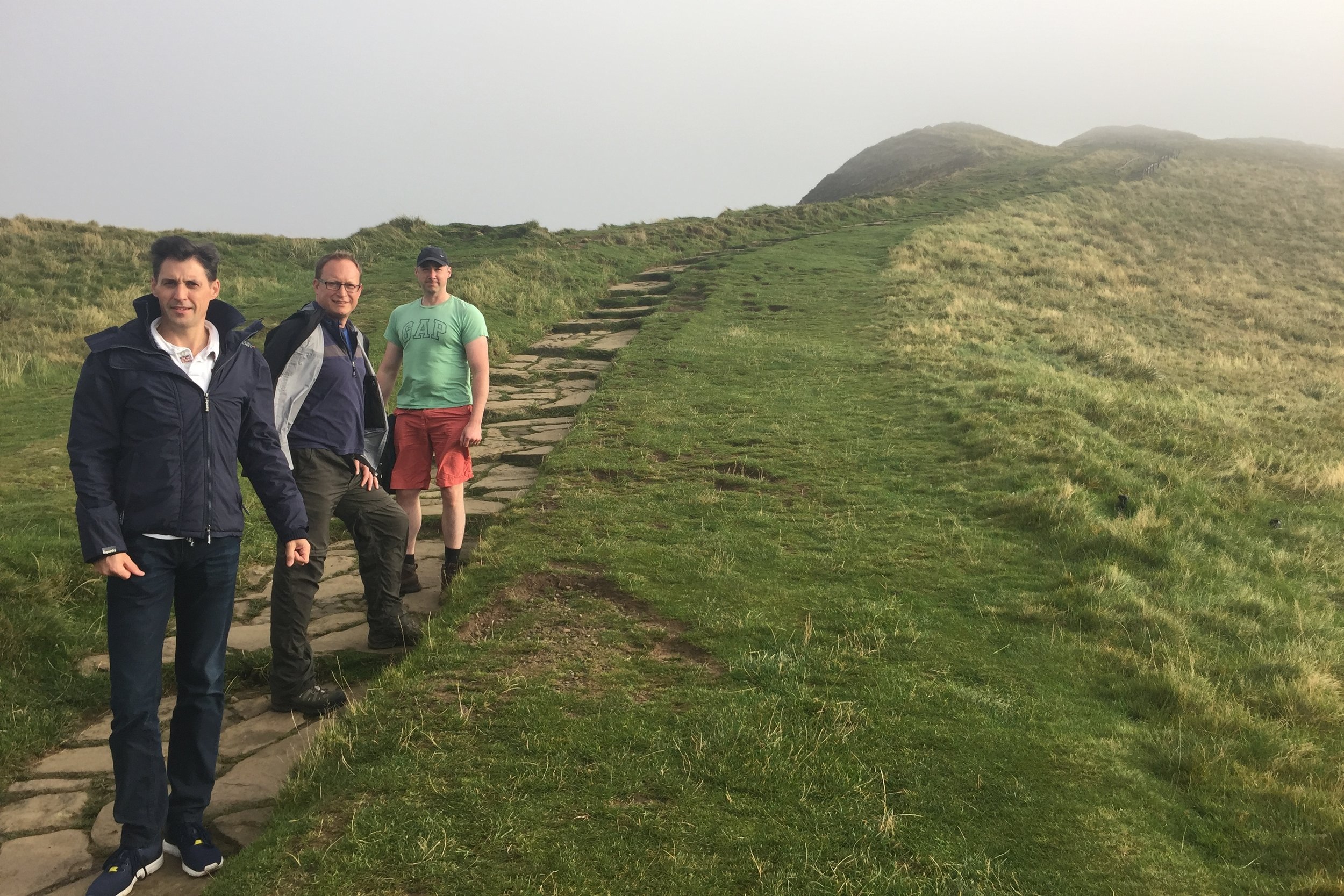
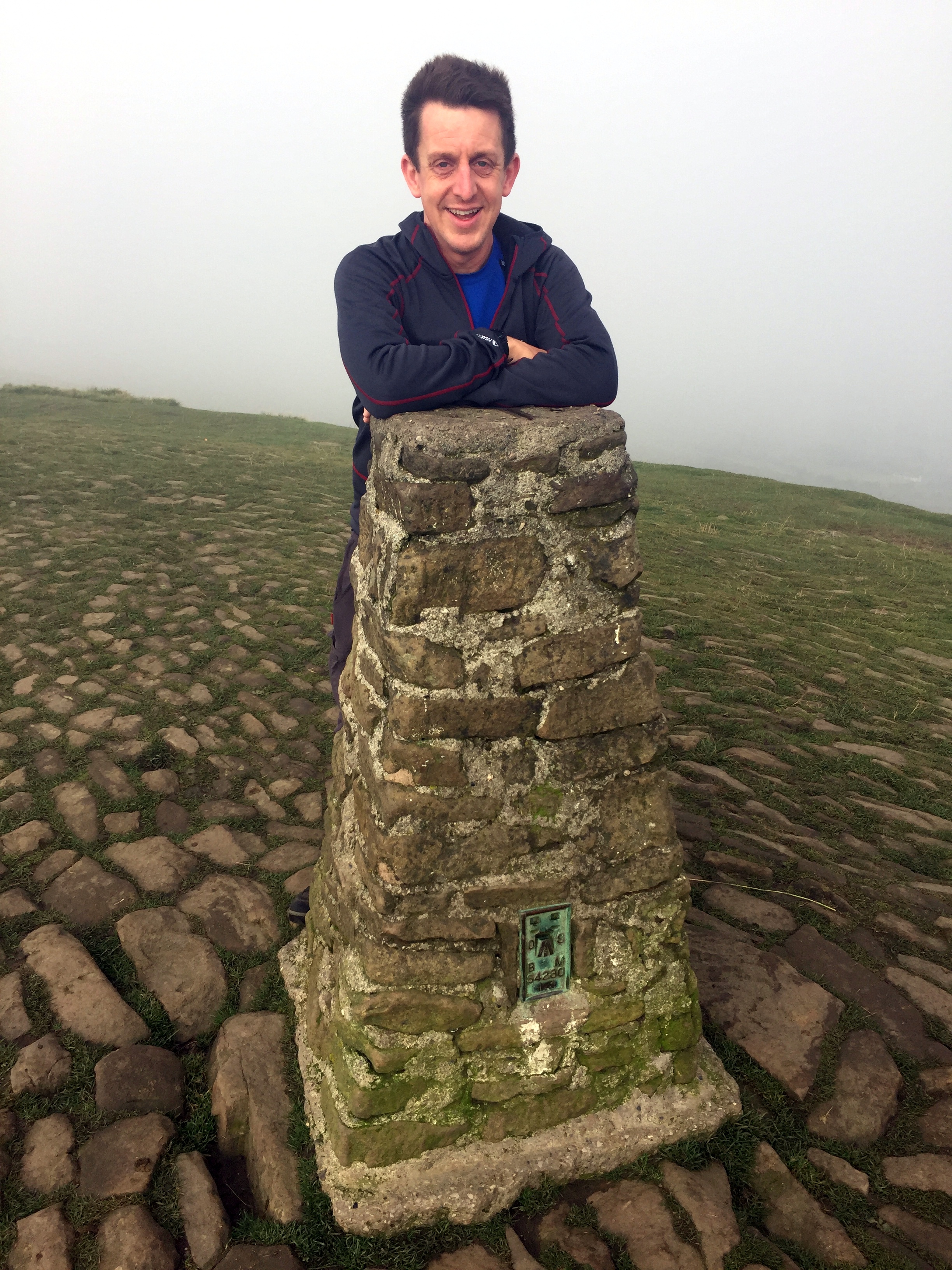
Although neither an historic nor present day County Top, Mam Tor was too iconic to miss. It was also close to our YHA and a quick and easy Trig Point bag, so we ticked it off in the way to Cheeks Hill.
This was the underwhelming peak of the trip. The high point of the historic county of Staffordshire is a short walk across boggy ground to a lonely corner of the county market by a sheep pen. One for County Top completists but at least it’s in the way to Shining Tor. This one makes up for the underwhelm of Cheeks Hill. It’s a short walk but rewarded by a Trig Pillar and good views on a clear day.
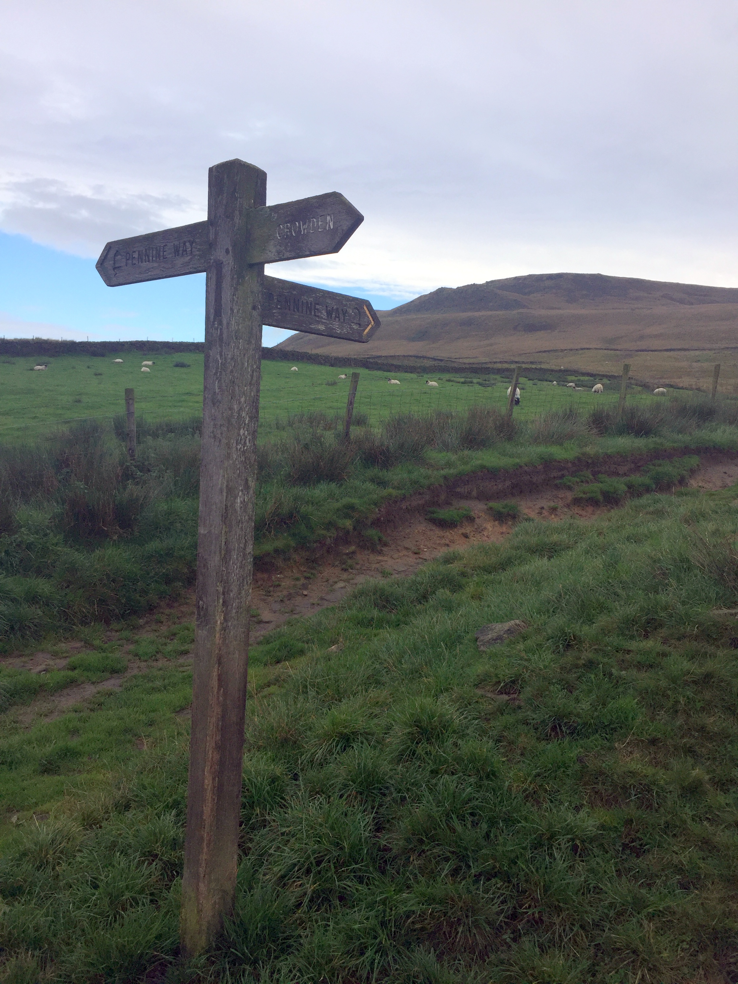
We saved the best walk for last on this trip. In one 8 mile walk you get an historic county top, a present day one and a scenic section of the Pennine Way. This was a point to point walk but we had the advantage of having 2 cars between the group so we could do a 2 car shuffle. We left one in a lay-by on the A635 and parked the other at our starting point at Crowden. For much of the walk we followed the Pennine Way, with a diversion after 3 km to visit Black Chew Head. If Black Hill is all you’re interested in then an out and back from the A635 is simpler.
Kinder Scout
Significance: Highest peak in Derbyshire (Historic CT), Peak District National Park High Point
Member of: Marilyn, Hewitt, Hardy, Nuttall
Parent Peak: Cross Fell. NHN = Fountains Fell South Top
Elevation: 636m
Date climbed: 23rd September 2017
Coordinates: 53°23′0″N 1°52′2″W
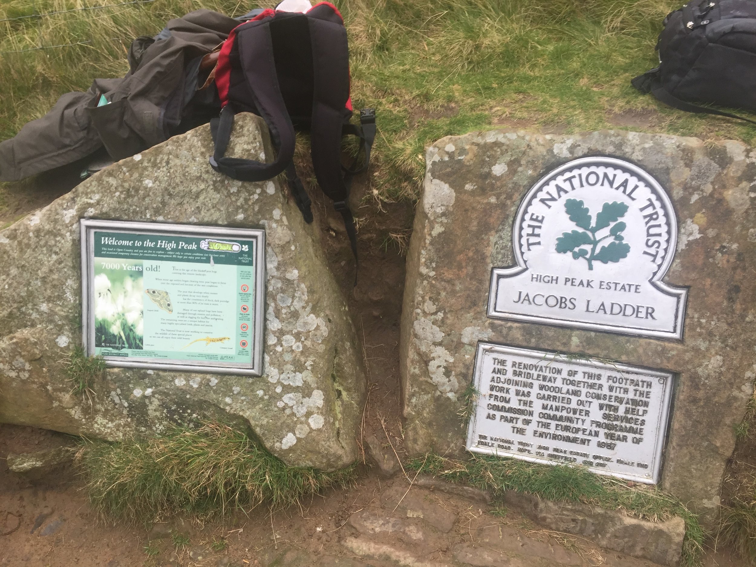
Route Start / End: Car park at Edale Train Station, anti-clockwise circular route via Grindslow Knoll, Crowden Tower and back via Jacobs Ladder
Route Distance: 14 km (8.7 miles)
Route Elevation Change: +/- 480m
Subsidiary tops on route: Grindslow Knoll
GPX File: get via Buy Me a Coffee
Other routes touched (walk): Pennine Way
Other routes touched (cycle): None
OS Trig Pillar: TP4216 - Kinder Low
Map: OS Explorer OL1 The Peak District - Dark Peak area
Guidebook: The UK's County Tops (Jonny Muir), Walking the County High Points of England (David Bathurst)
Links: Wikipedia (Derbyshire), Wikipedia (Kinder Scout), Peakbagger, Hillbagging, National Trust
Kinder Scout is an icon of the Peak District and extremely popular walk. Strangely though, the summit is amazingly hard to find and most walkers don't stray far from the footpaths to find it. We gave it a good go, taking a bearing from the main trail just west of Pym Chair. After 10 minutes of faffing around we found a pile of stones a stick which may have been the summit. That was good enough for us to call it the peak and celebrate with a 1 kilo, now frozen, gummy bear.
Although there isn’t an OS Trig Pillar at the summit of Kinder Scout, there is one nearby at Kinder Low. With good visibility, which we didn’t have that day, you can see Kinder Low Trig from Kinder Scout. If I were to plan the route again I would definitely include the Trig Pillar.




Mam Tor (and Lords Seat)
Significance: N/A
Member of: Dewey
Parent Peak: Kinder Scout. NHN = Lords Seat, then Brown Knoll
Historic County: Derbyshire (of which Kinder Scout is the County Top)
Elevation: 517m
Date climbed: 24th September 2017
Coordinates: 53°20′57″N 1°48′38″W
Route Start / End: Mam Nick Car Park, Sparrowpit, Buxton, S33 8WA
Route Distance: 4.2 km (2.6 miles)
Route Elevation Change: +/- 145m
Subsidiary tops on route: None
GPX File: get via Buy Me a Coffee
Other routes touched: None
OS Trig Pillar: TP4623 - Mam Tor
Map: OS Explorer OL1 The Peak District - Dark Peak area
Links (Mam Tor): Wikipedia, Peakbagger, Hillbagging, National Trust
Links (Lords Seat): Peakbagger, Hillbagging

Cheeks Hill
Also known as: Cheeks Hill-South Slope
Significance: Highest peak in Staffordshire (Historic CT)
Member of: N/A
Parent Peak: Shining Tor. NHN = Whetstone Ridge
Elevation: 520m
Date climbed: 24th September 2017
Coordinates: 53°13′31″N 1°57′44″W
Route Start / End: Where Dane Valley Way crosses country road between A53 and A54
Route Distance: 1.5 km ( 0.9 miles)
Route Elevation Change: +/- 25m
Subsidiary tops on route: None
GPX File: get via Buy Me a Coffee
Other routes touched (walk): Dane Valley Way
Other routes touched (cycle): None
Map: OS Explorer OL24 The Peak District
Guidebook: The UK's County Tops (Jonny Muir), Walking the County High Points of England (David Bathurst)
Links: Wikipedia (Cheeks Hill), Peakbagger, Hillbagger
A competitor for the least interesting County Top prize at less than 1 mile and 30 metres of ascent. Only makes sense if done whilst in the area.


Shining Tor
Significance: Highest peak in Cheshire (Present Day CT), Cheshire East Unitary Authority High Point
Member of: Marilyn, Dewey
Parent Peak: Black Hill. NHN = Brown Knoll
Historic County: Cheshire (of which Black Hill is the County Top)
Elevation: 559m
Date climbed: 24th September 2017
Coordinates: 53°15′39″N 2°00′34″W
Route Start / End: Car park of Peak View Tea Rooms, A537
Route Distance: 3.3 km (2.0 miles)
Route Elevation Change: +/- 75m
Subsidiary tops on route: None
GPX File: get via Buy Me a Coffee
Other routes touched: None
OS Trig Pillar: TP5950 - Shining Tor
Map: OS Explorer OL24 The Peak District
Guidebook: The UK's County Tops (Jonny Muir), Walking the County High Points of England (David Bathurst)
Links: Wikipedia (Cheshire), Wikipedia (Cheshire East), Wikipedia (Shining Tor), Peakbagger, Hillbagging

Black Chew Head
Significance Highest peak in Greater Manchester (Present Day CT), Oldham Unitary Authority High Point
Member of: Dewey
Parent Peak: Black Hill. NHN = Black Hill
Historic County: Yorkshire (of which Mickle Fell is the County Top)
Elevation: 542m
Coordinates: 53°30′57.96″N 1°55′17.76″W
Links: Wikipedia (Greater Manchester), Wikipedia (Oldham), Wikipedia (Black Chew Head), Peakbagger, Hillbagging
Black Hill
Significance Highest peak in Cheshire (Historic CT), West Yorkshire (Present Day CT), Kirklees Unitary Authority High Point
Member of: Marilyn, Dewey
Parent Peak: Kinder Scout. NHN = Bleaklow Head
Elevation: 582m
Coordinates: 53°32′18″N 1°52′53″W
OS Trig Pillar: TP3980 - Holme Moss
Links: Wikipedia (Cheshire), Wikipedia (West Yorkshire), Wikipedia (Kirklees), Wikipedia (Black Hill), Peakbagger, Hillbagging
For both peaks:
Date climbed: 25th September 2017
Route Start / End: Point to point walk along Pennine Way from Crowden to Greenfield Road
Route Distance: 12.9 km (8 miles)
Route Elevation Change: +531m / -296m. Net 235m
Subsidiary tops on route: None
GPX File: get via Buy Me a Coffee
Other routes touched: The Pennine Way
Map: OS Explorer OL1 The Peak District - Dark Peak area
Guidebook: The UK's County Tops (Jonny Muir), Walking the County High Points of England (David Bathurst)
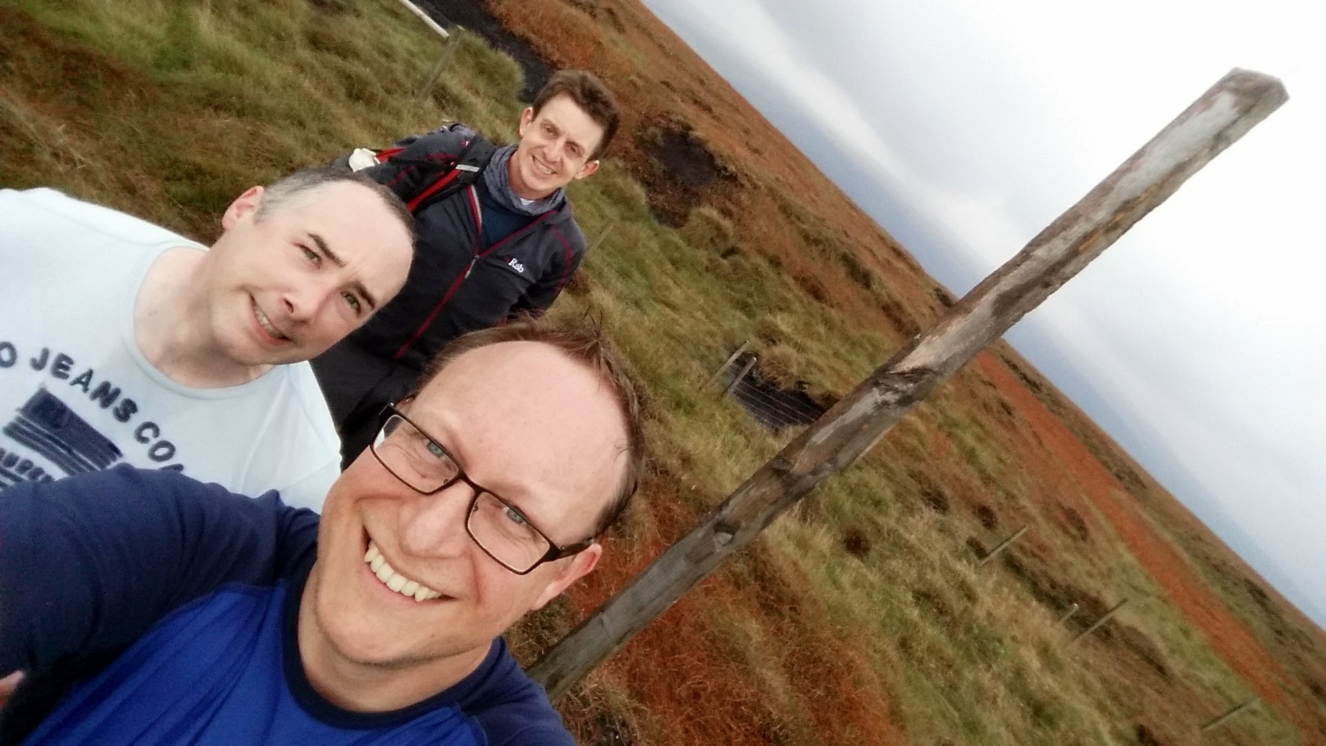
Two County Tops for the price of one in a scenic section of the Pennine Way. The 11 km trek started in Crowden, finishing at the junction of the Pennine Way and the A635. A short diversion from the main path at Laddow Rocks takes you up to Black Chew Head, the high point of Greater Manchester and Oldham. It was a clear day and we found it easily. Be extra careful in low visibility, especially when re-joining the Pennine Way as the path follows a cliff-edge here. Black Hill, the (Historic) County Top of Cheshire is right on the Pennine Way path at around 8km into the trip.



Other High Points In Cheshire
Hoarstone Edge (497m) Tameside Unitary Authority High Point: Peakbagger / Hillbagging
Mellor Moor (327m) Stockport Unitary Authority High Point (alt): Peakbagger / Hillbagging
Robin Hood's Picking Rods (327m) Stockport Unitary Authority High Point (alt): Peakbagger / Hillbagging
Raw Head (227m) Cheshire West and Chester Unitary Authority High Point: Peakbagger / Hillbagging
Halton Castle (100m) Halton Unitary Authority High Point: Peakbagger / Hillbagging
Green Walk (Bowdon) (67m) Trafford Unitary Authority High Point: Peakbagger / Hillbagging
Other High Points In Derbyshire
Allestree Park (138m) Derby City Unitary Authority High Point: Peakbagger / Hillbagging
Other High Points In Staffordshire
Turners Hill (271m) West Midlands Ceremonial County High Point and Sandwell Unitary Authority High Point: Peakbagger / Hillbagging
Cawney Hill (251m) Dudley Unitary Authority High Point: Peakbagger / Hillbagging
Meir Heath (250m) Stoke-on-Trent Unitary Authority High Point: Peakbagger / Hillbagging
Sedgley Beacon East Slope (232m) Wolverhampton Unitary Authority High Point: Peakbagger / Hillbagging
Barr Beacon (227m) Walsall Unitary Authority High Point: Peakbagger / Hillbagging