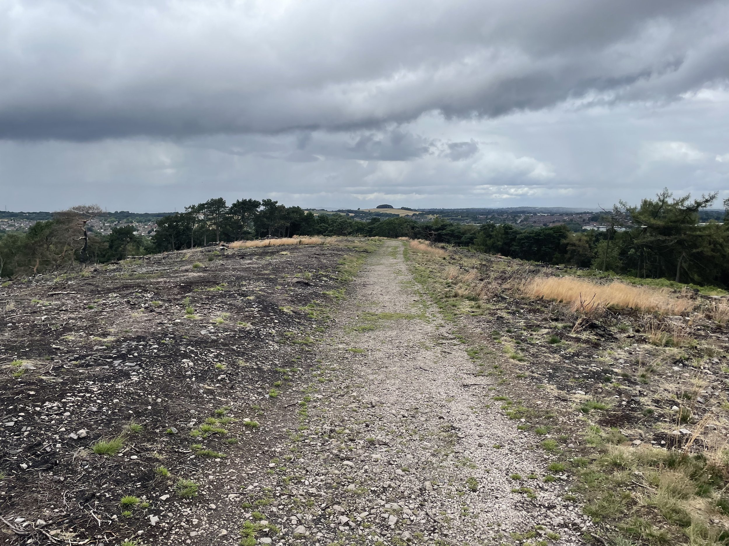
Rednal Hill North Top: Birmingham High Point

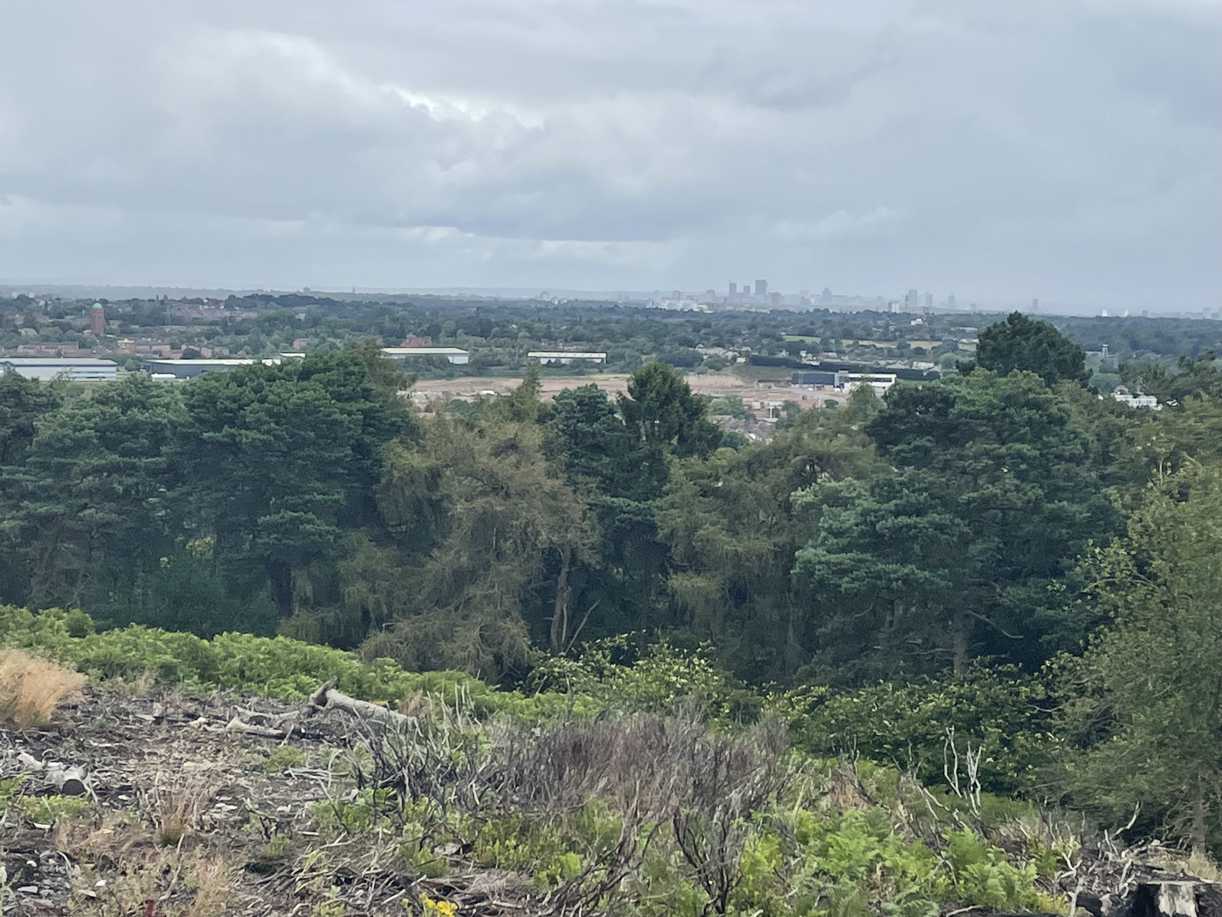
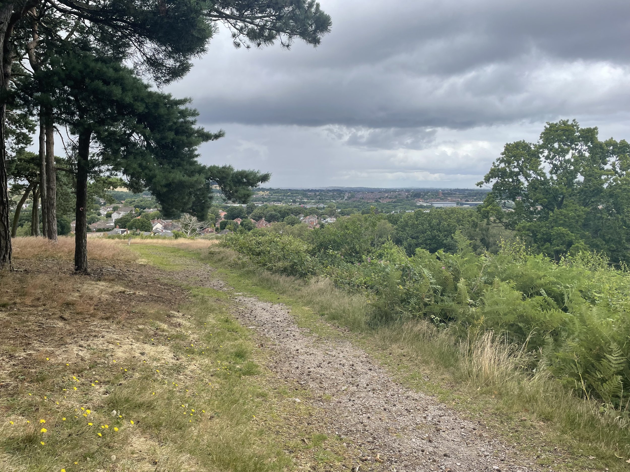
View to Birmingham on a cloudy day from Rednal Hill North Top
Significance: Metropolitan Borough High Point for Birmingham
Member of: N/A
Parent Peak: Walton Hill.
Nearest Higher Neighbour: Rednal Hill
Historic County: Worcestershire (of which Worcestershire Beacon is the County Top)
Elevation: 250m
Date climbed: July 16th 2023
Coordinates: 52° 23' 14'' N, 2° 0' 27'' W
Route Start / End: Car park at Lickey Hill Golf Course, Rose Hill, Rednal, Birmingham, B45 8RR
Route Distance: 3.4 km (2.1 miles)
Route Elevation Change: +/- 116m
Subsidiary tops on route: Beacon Hill
GPX File: get via Buy Me a Coffee
Other routes touched (walk): Drovers Way
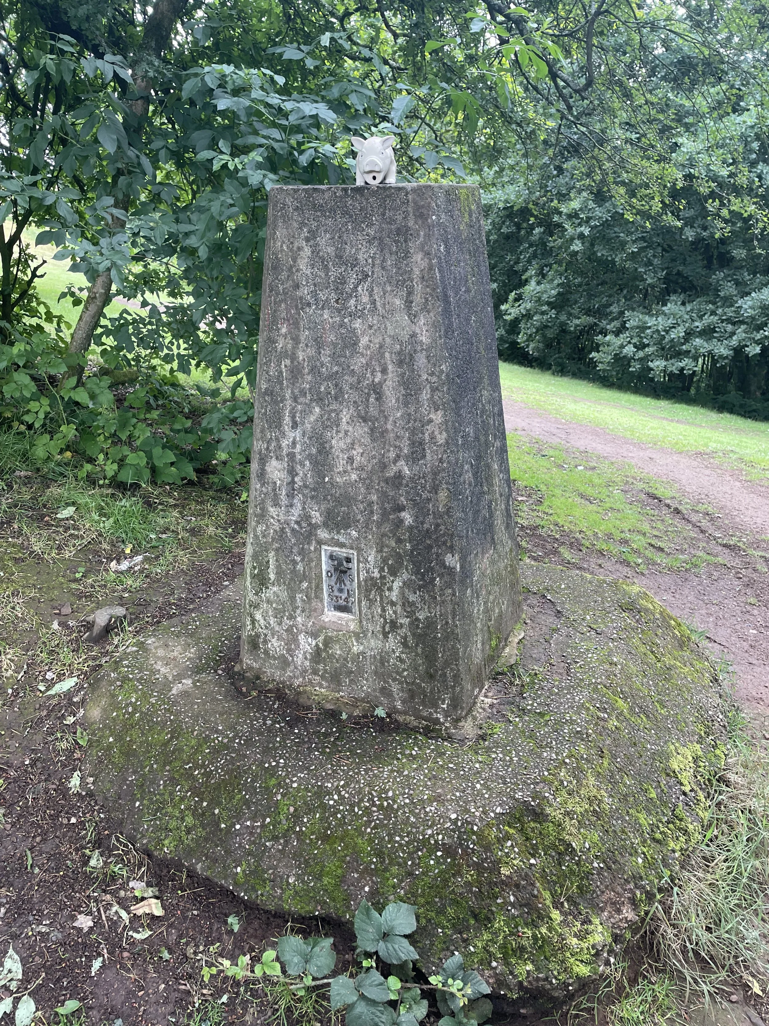
OS Trig Pillar: TP4411 - Lickey Hill
Map: Birmingham Map | Walsall, Solihull & Redditch | Ordnance Survey | OS Explorer Map 220
Links: Wikipedia (Birmingham), Lickey Hills Country Park, Peakbagger
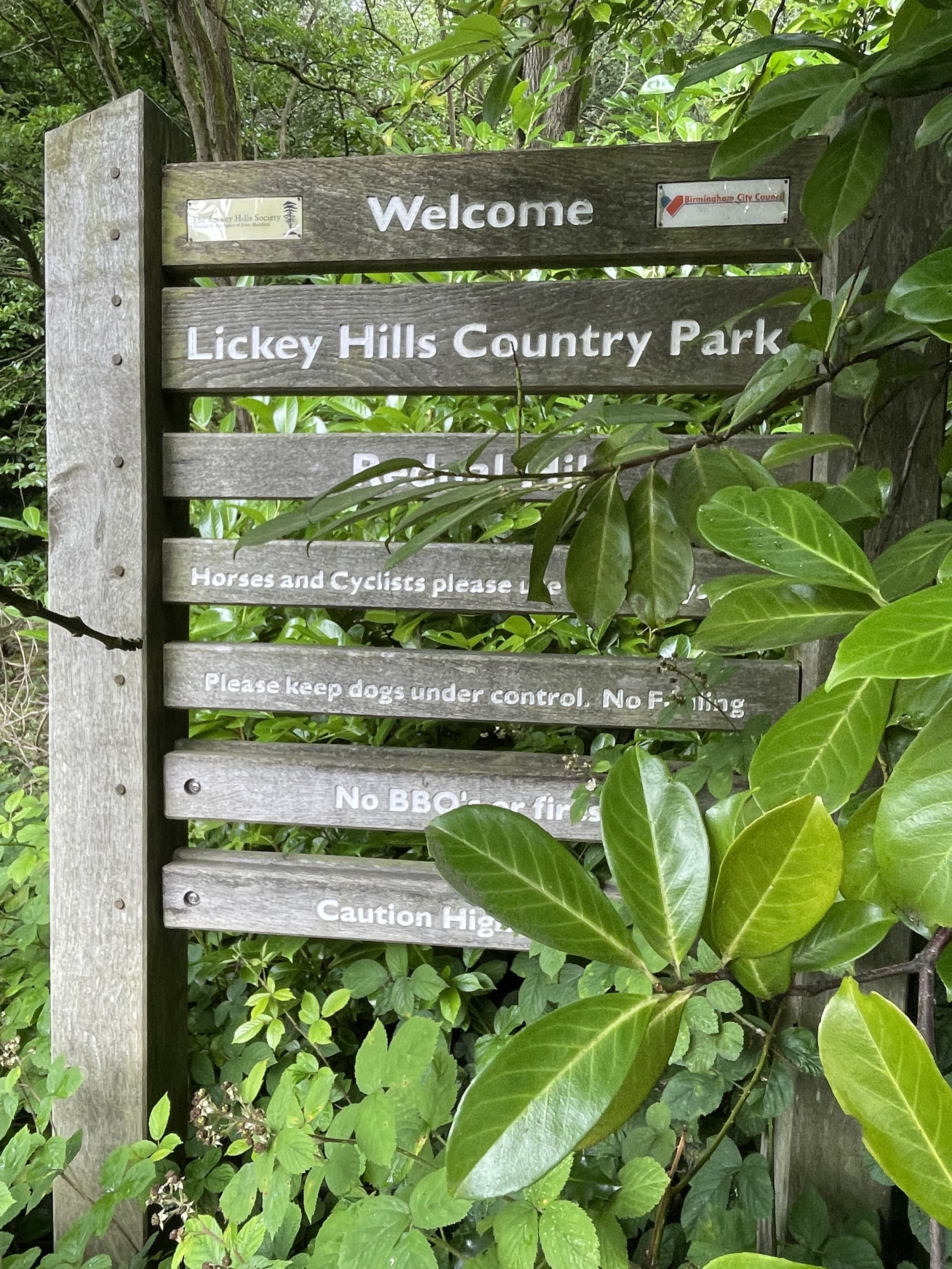
Rednal Hill North Top is the high point of the Metropolitan Borough of Birmingham, within the Historic and Ceremonial Counties of Worcestershire. It’s within the Lickey Hills Country Park, once owned by the Cadbury family. Both the main summit of Rednal Hill and nearby Beacon Hill are higher although the boundary of present-day Worcestershire and the Birmingham Metropolitan Borough cuts off the north end of the Country Park, making the north end of the Rednall Hill Ridge the high point of Birningham.
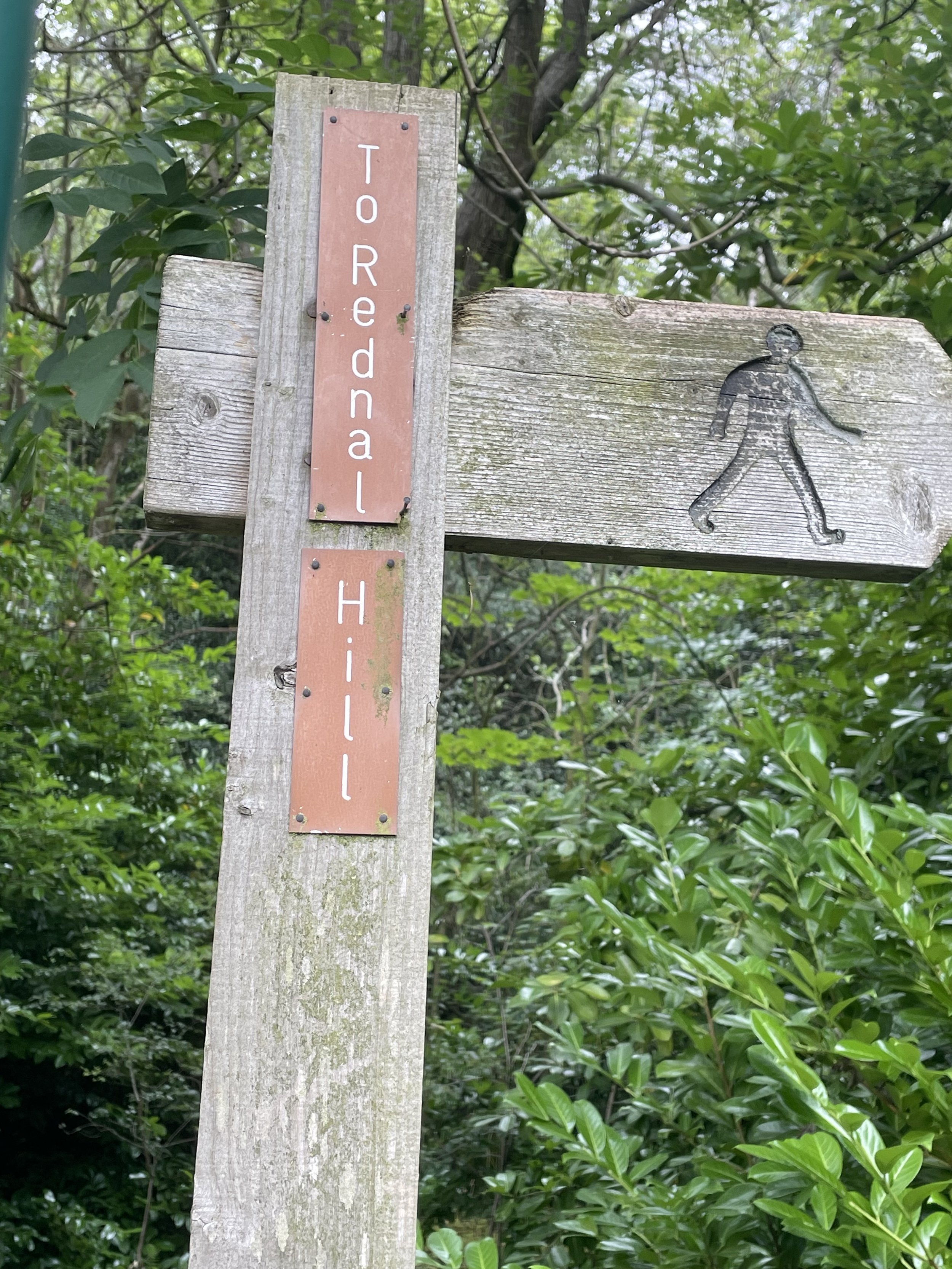
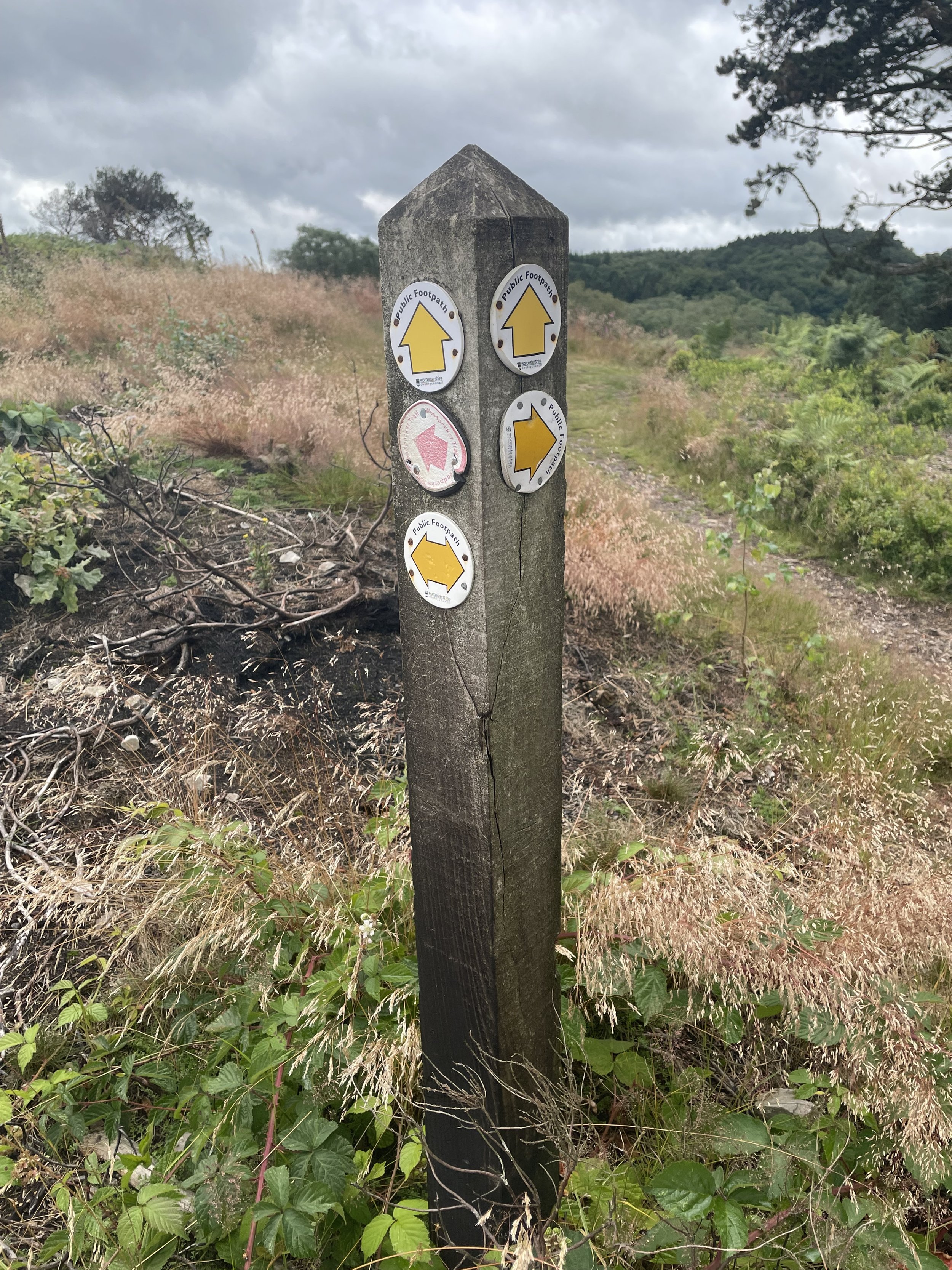
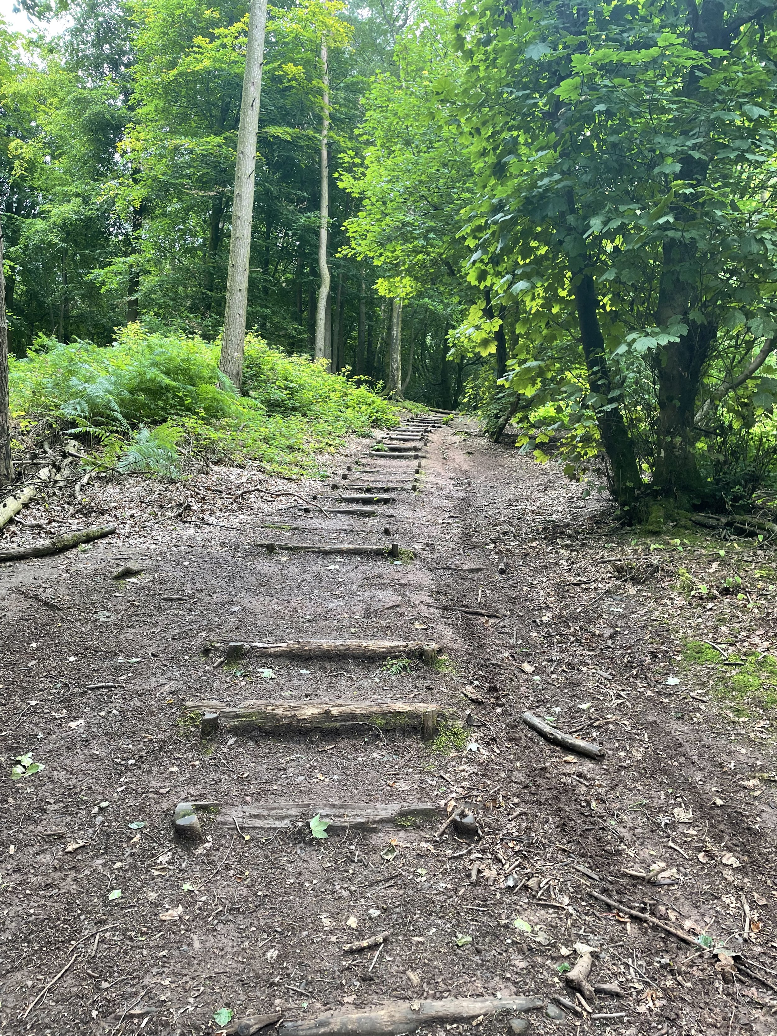
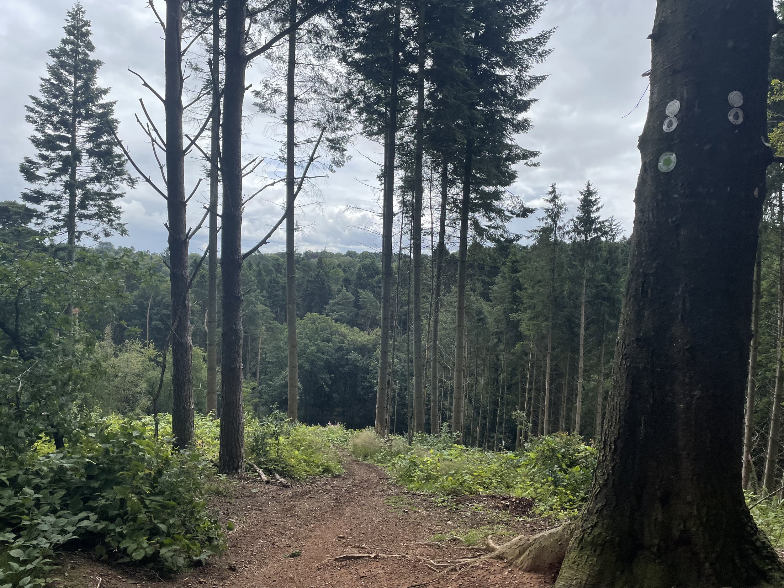
There’s free parking at the entrance to the golf course off Rose Hill (road). I wasn’t sure if the car park is specifically for the golf course or open to anyone but there were no signs and plenty of spaces so I parked there. The circular route that I chose follows Rose Hill road in an easterly direction to the eastern end of the Country Park where you can take a steep footpath up the hill to the summit of Rednall Hill. There was a bunch of teenagers at the summit who aggressively shouted out “you awright, mate?” as I passed so I didn’t hand around. From the summit follow the ridge-top path for ~600m to the north-top summit and a view across to Birmingham City.
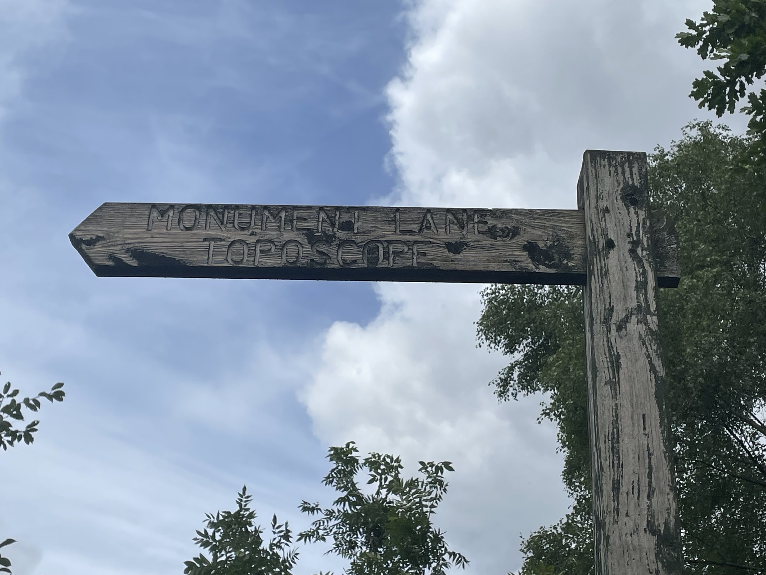
From the north-top summit retrace your steps for 200 metres and take a path to the right heading west across the golf course then up to the Trig Pillar. The Trig pillar isn’t the summit of Beacon Hill so continue for another 20m to the toposcope at the summit. From here follow paths to the south-east back to the car park.