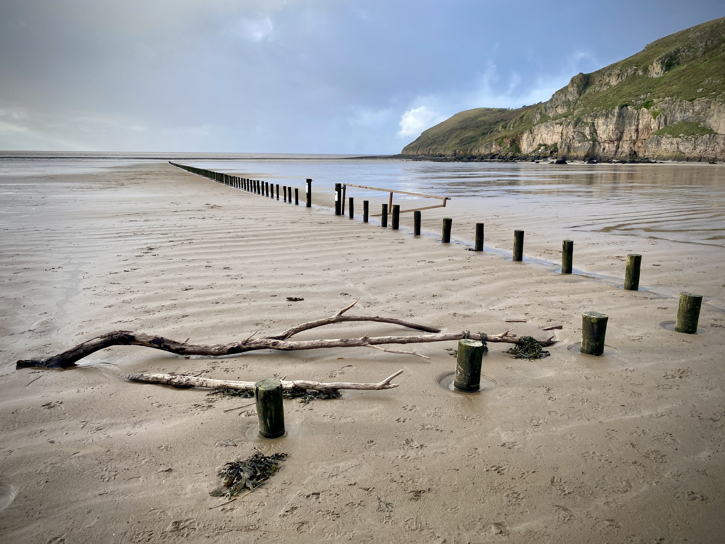
Brean Down, Somerset
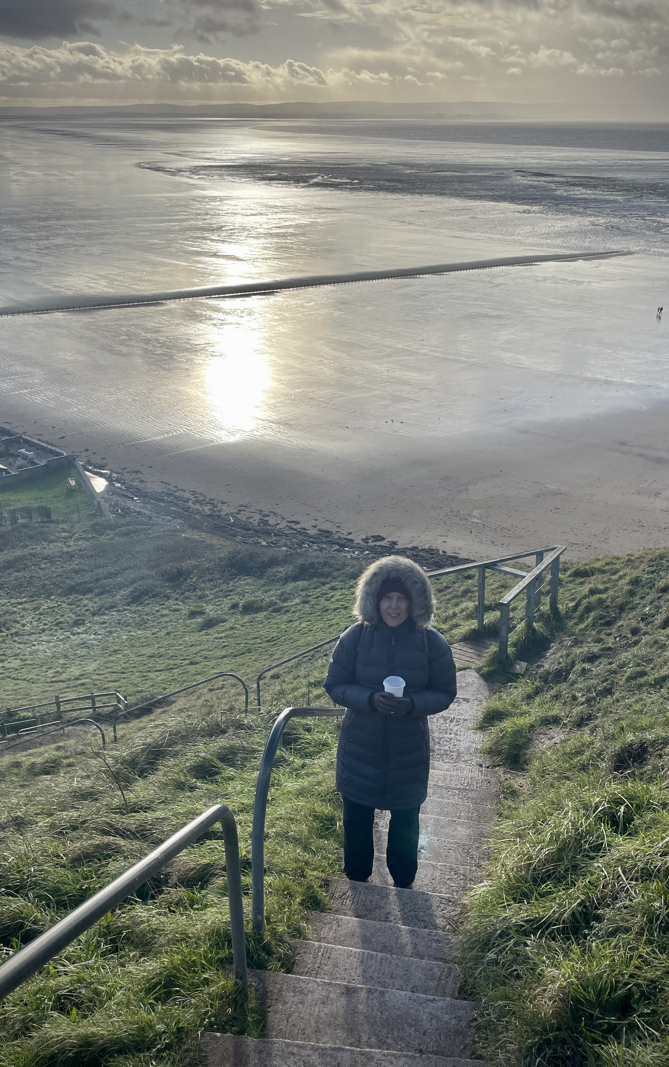
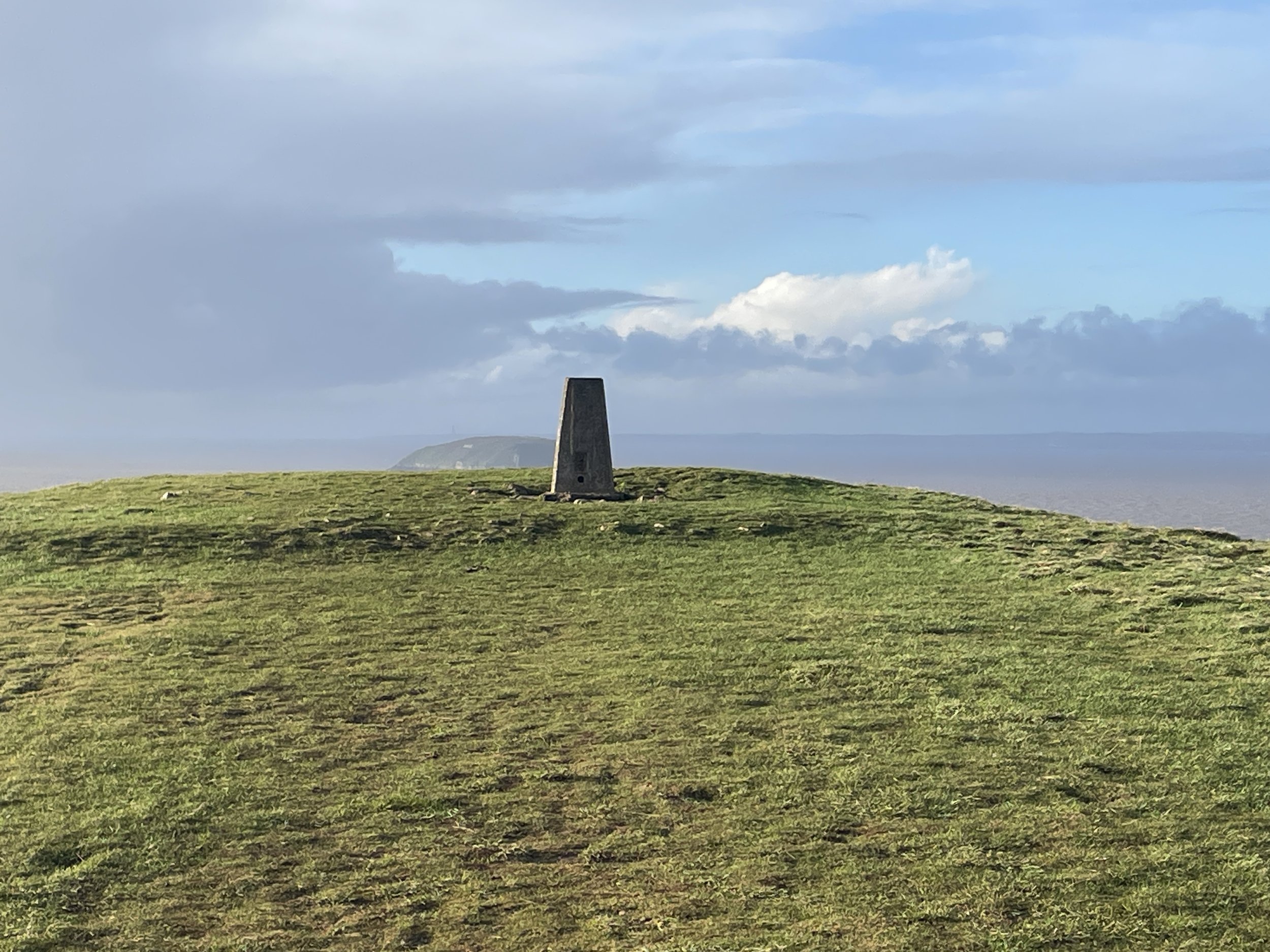
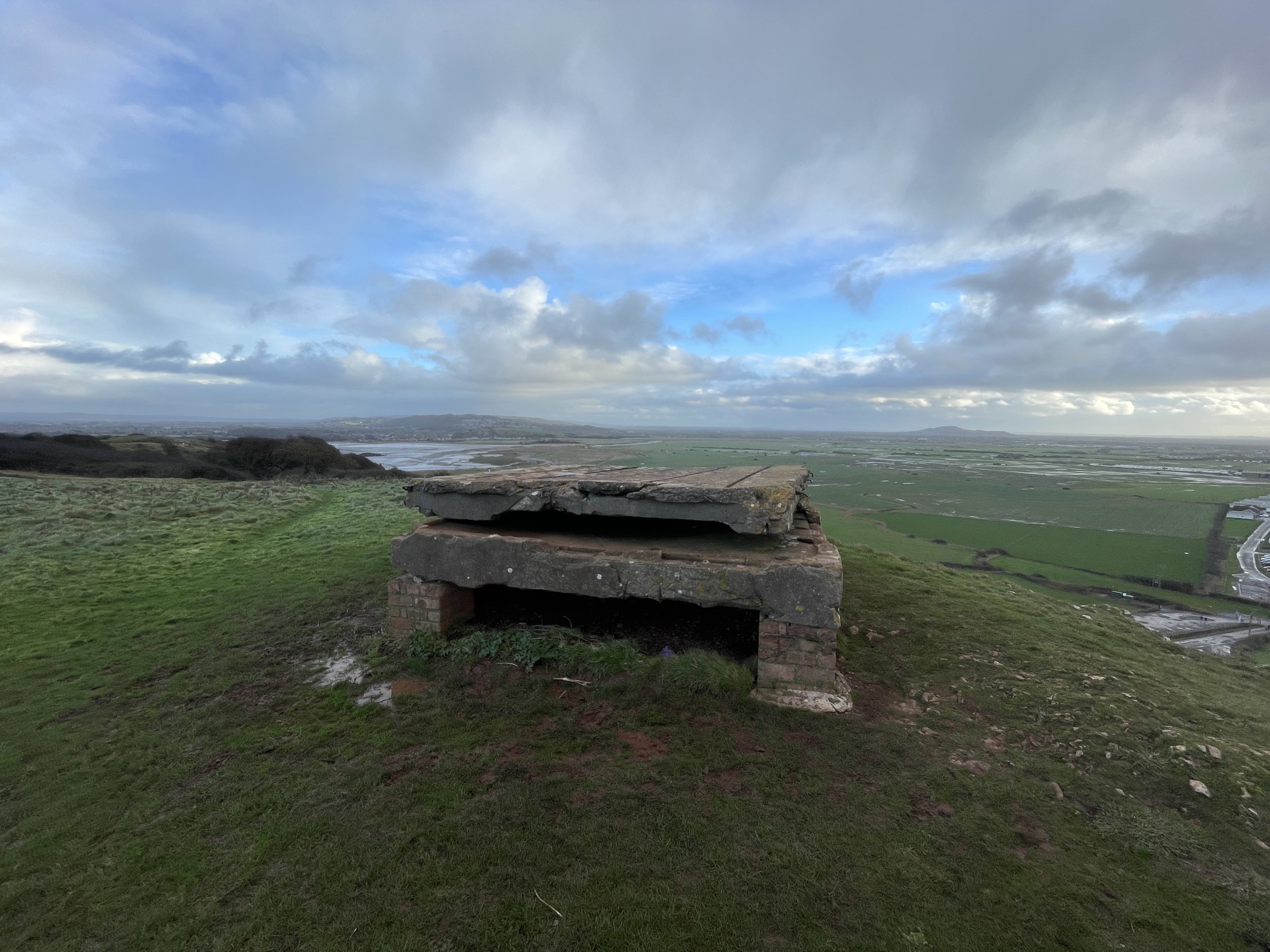
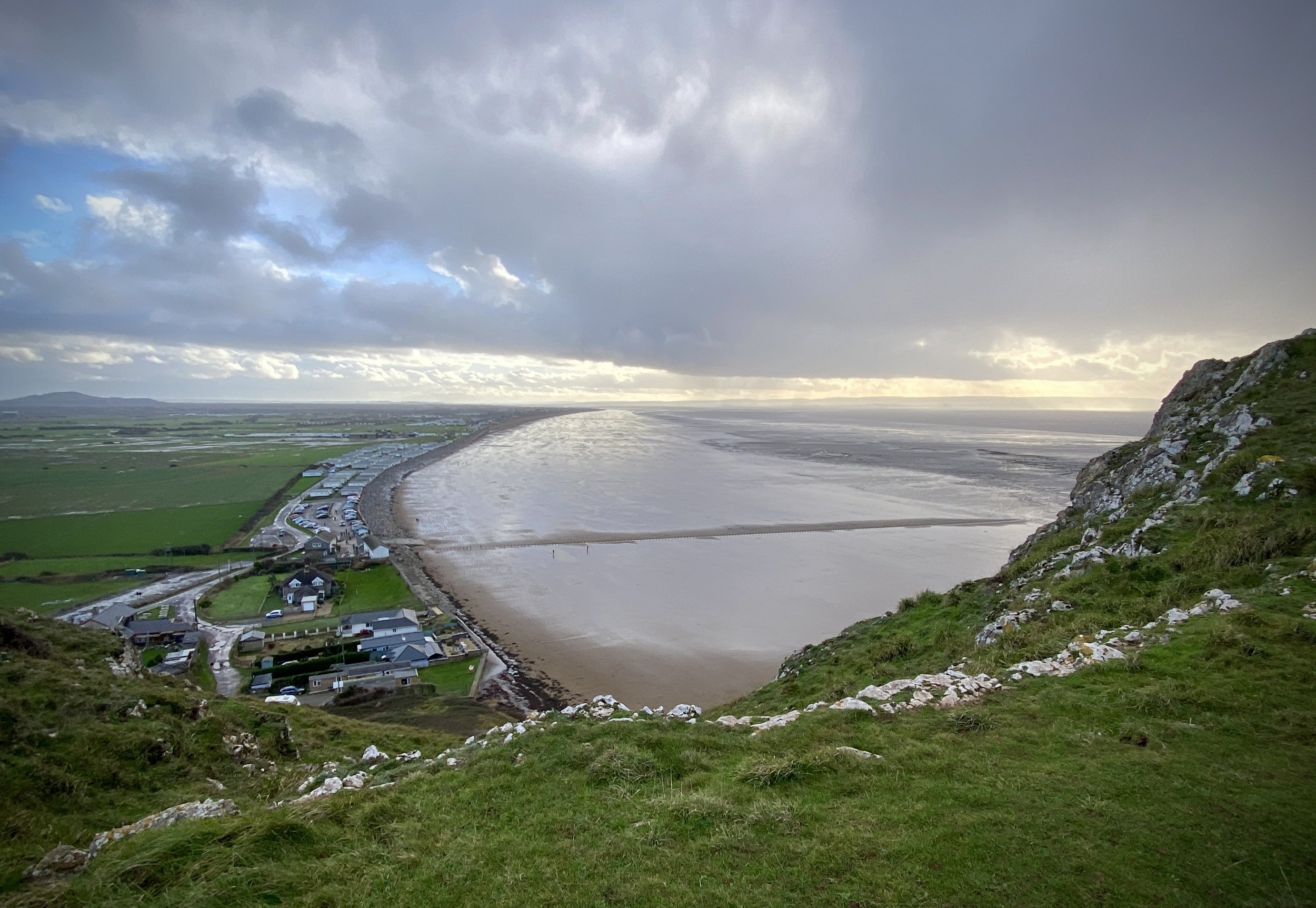
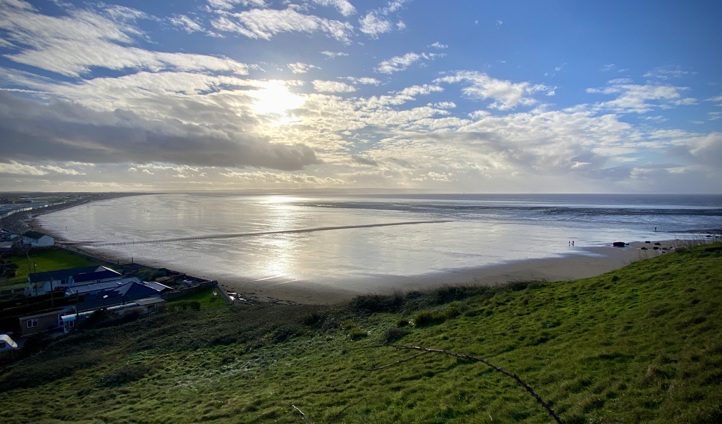
Looking back to the mainland from the Brean Down Trig Pillar
Start & Finish: National Trust Brean Down Car Park, 2 Brean Down Road, Brean, Burnham-on-Sea TA8 2RS
Distance: 3 km (1.9 miles)
Elevation change: +/- 84m
GPX File: get via Buy Me a Coffee
Other routes touched (walk): England Coast Path
Other routes touched (cycle): N/A
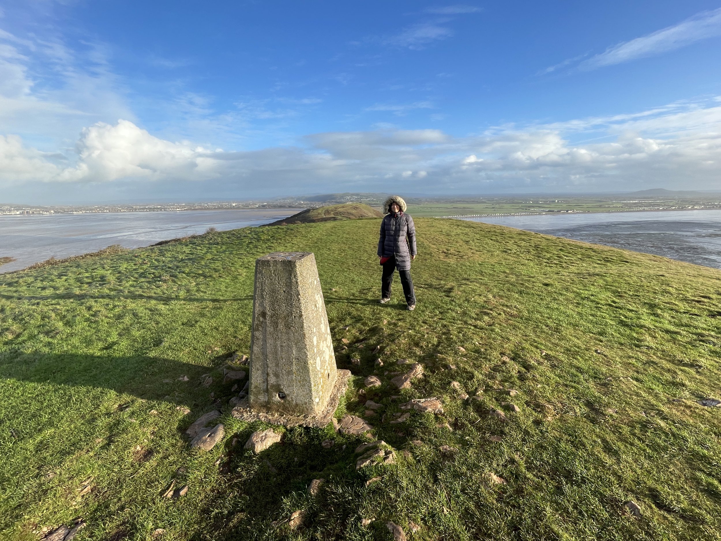
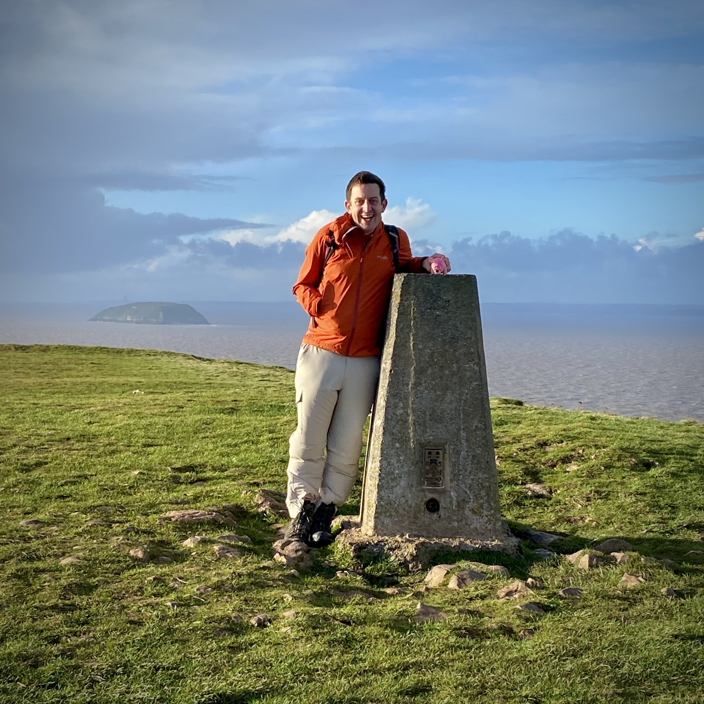
OS Trig Pillar: TP1608 - Brean Down
Pubs / Cafes on route: Cafe at Brean Down National Trust, at start and end.
Map: Weston-super-Mare & Bleadon Hill Map | Burnham-on-Sea & Clevedon | Ordnance Survey | OS Explorer Active Map 153
Links: Brean Down, Brean Down National Trust, Brean Down Fort
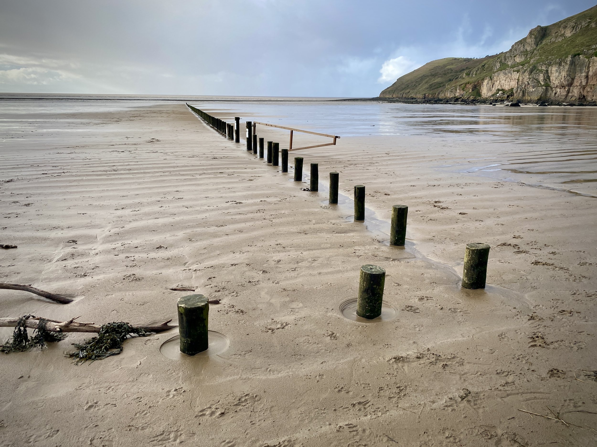
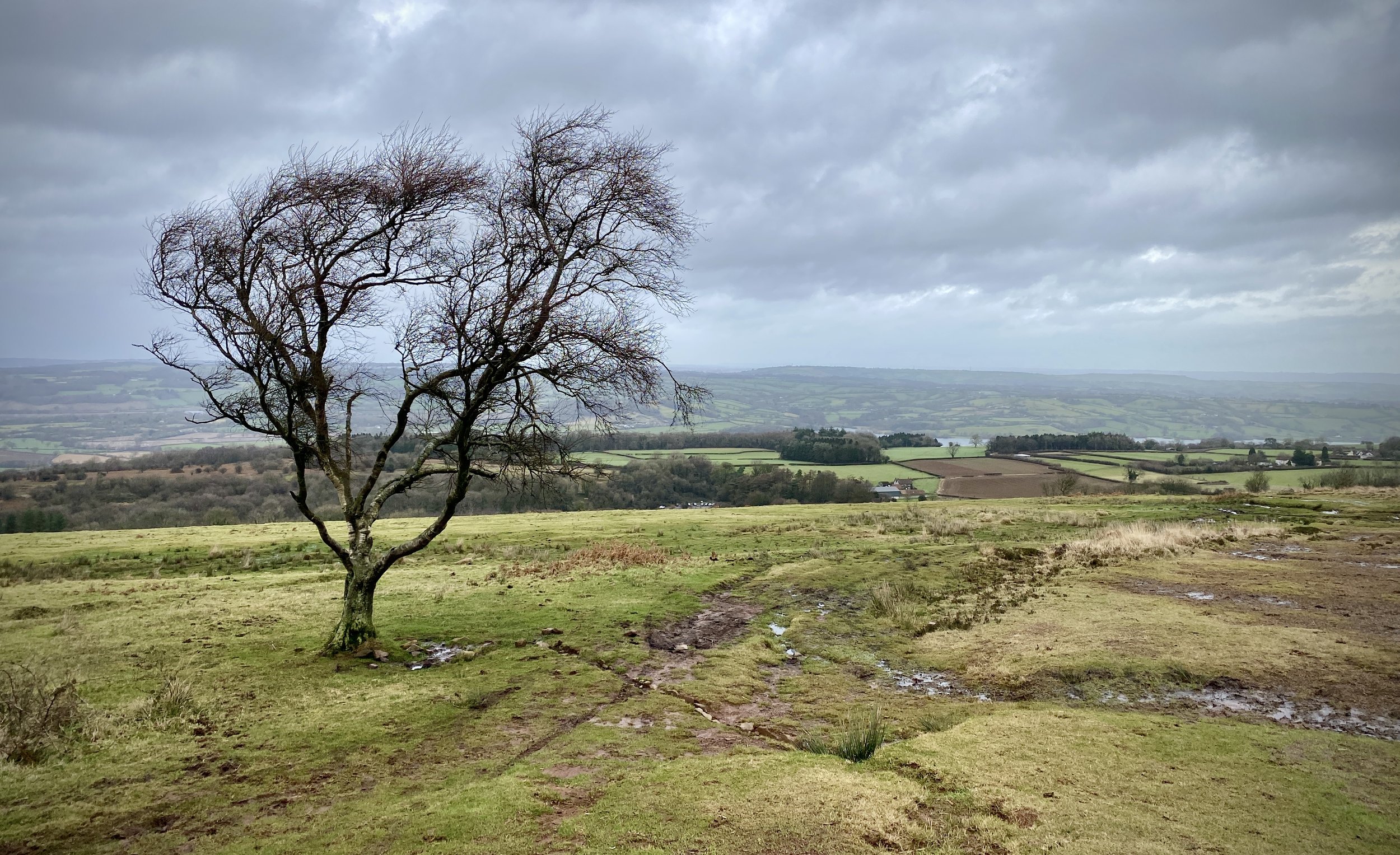
We visited the Brean Down Trig Pillar near the end of a short break in the Mendips between Christmas and New Year. The weather was terrible but we managed to bag a few high points and visit a few of the sea-side towns in the area. We arrived at the Brean Down National Trust car-park just as a downpour was starting. It cleared up quickly and we saw on the weather app that we had a dry spot of around 30 minutes before the rain came again. We took a risk to see if we could get to the Trig Pillar before the rain came back.
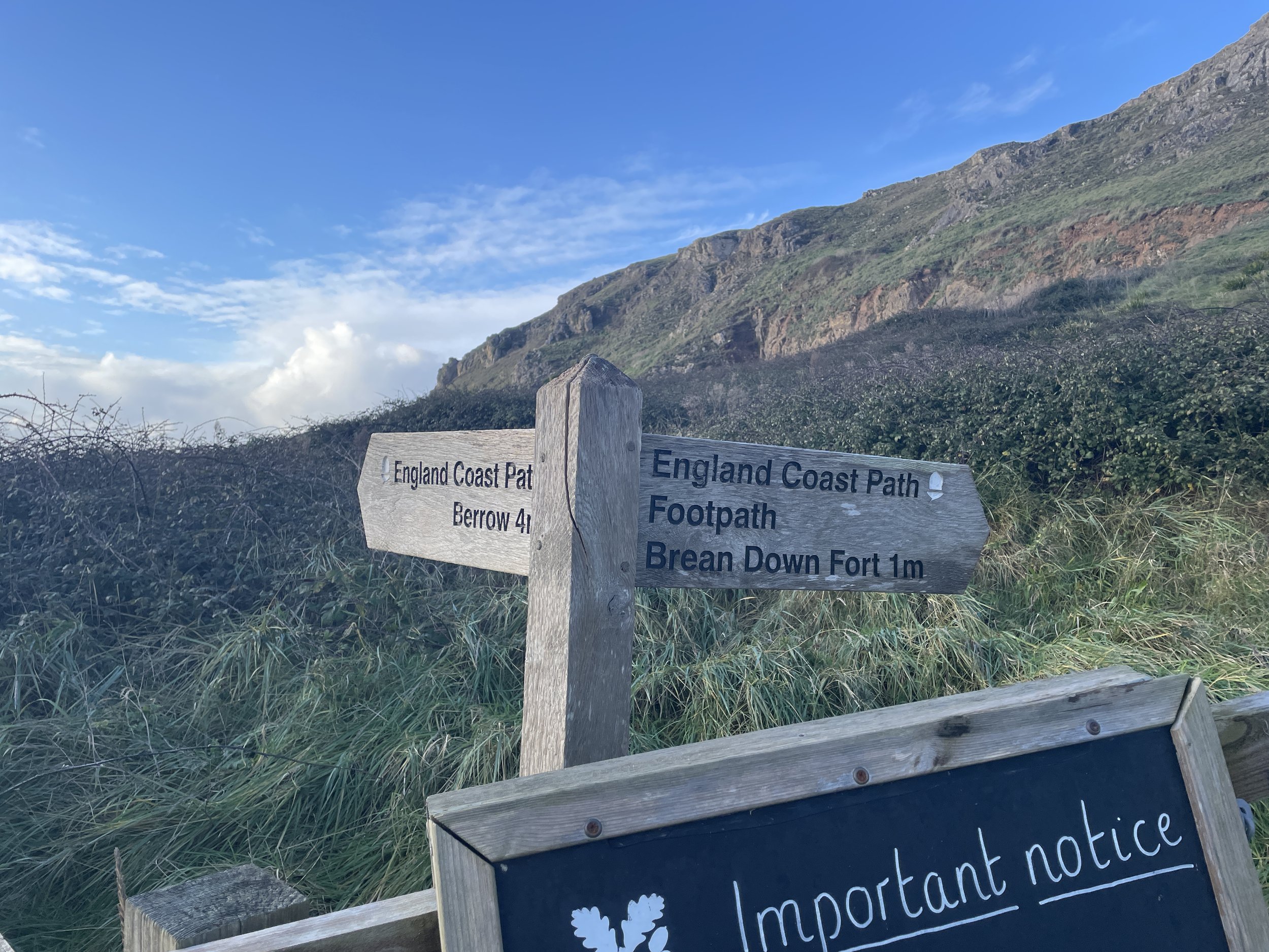
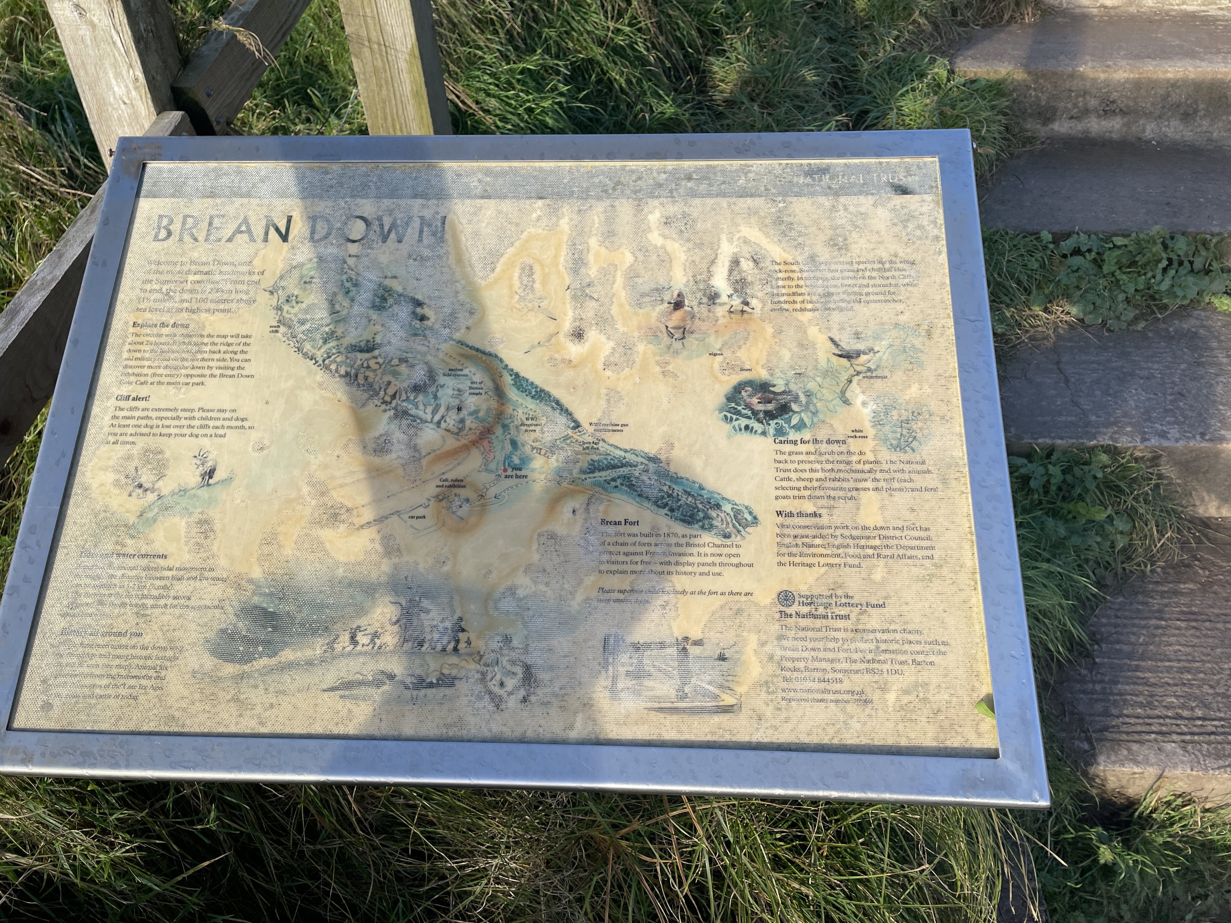
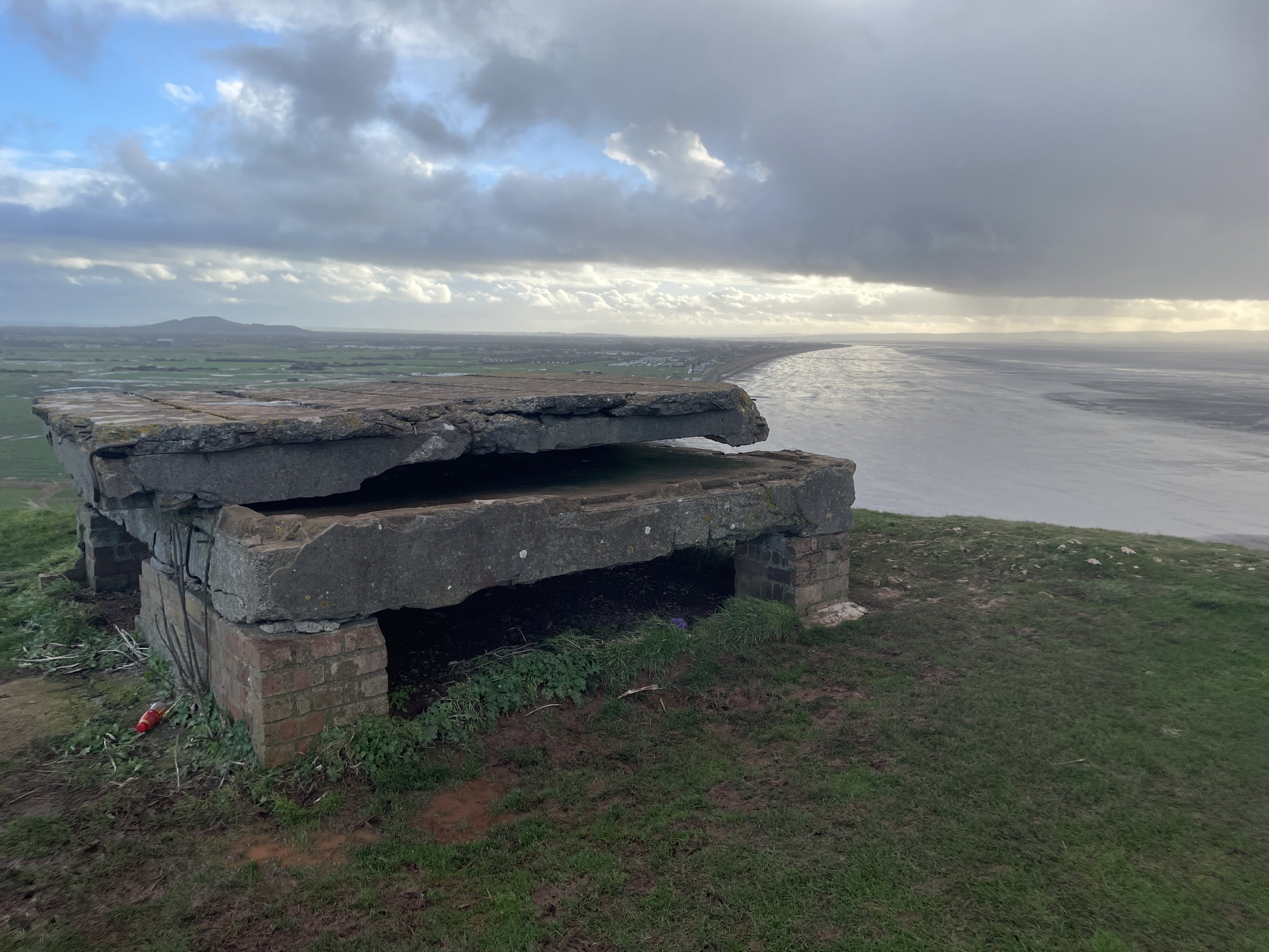
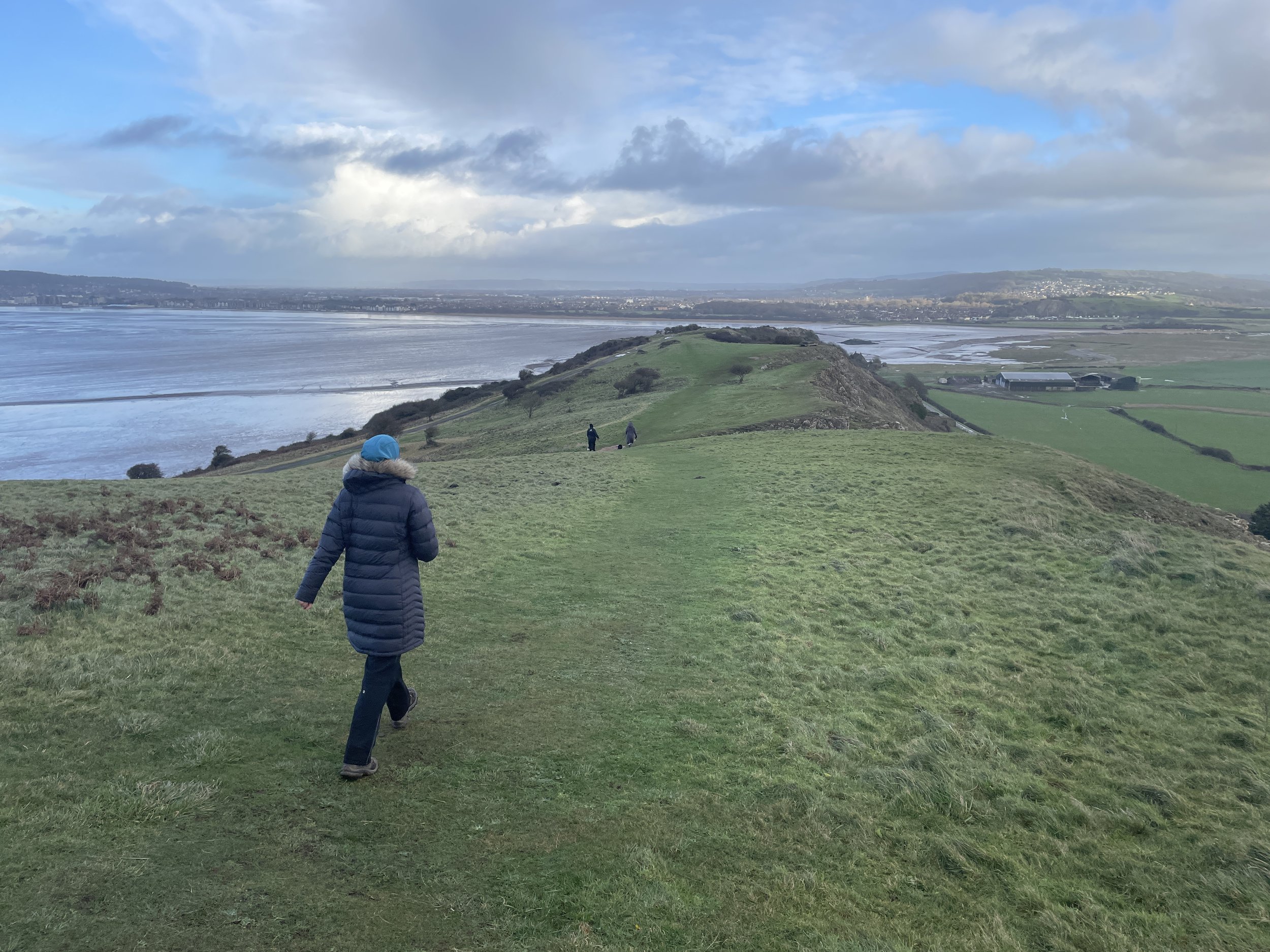
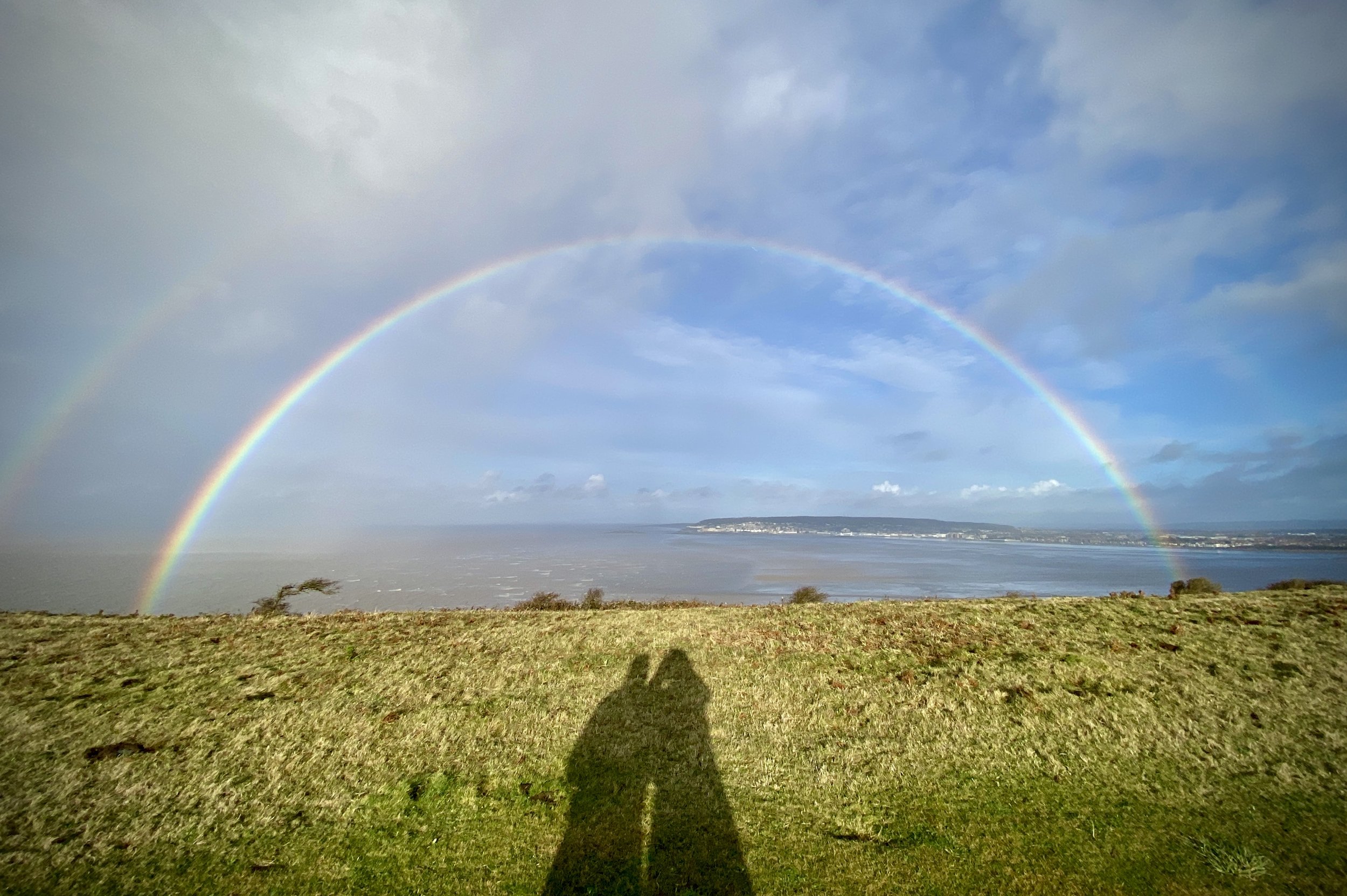
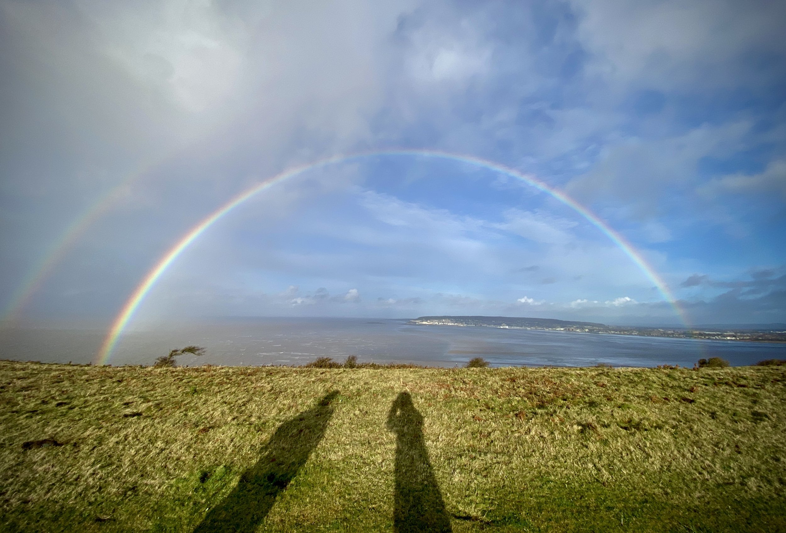
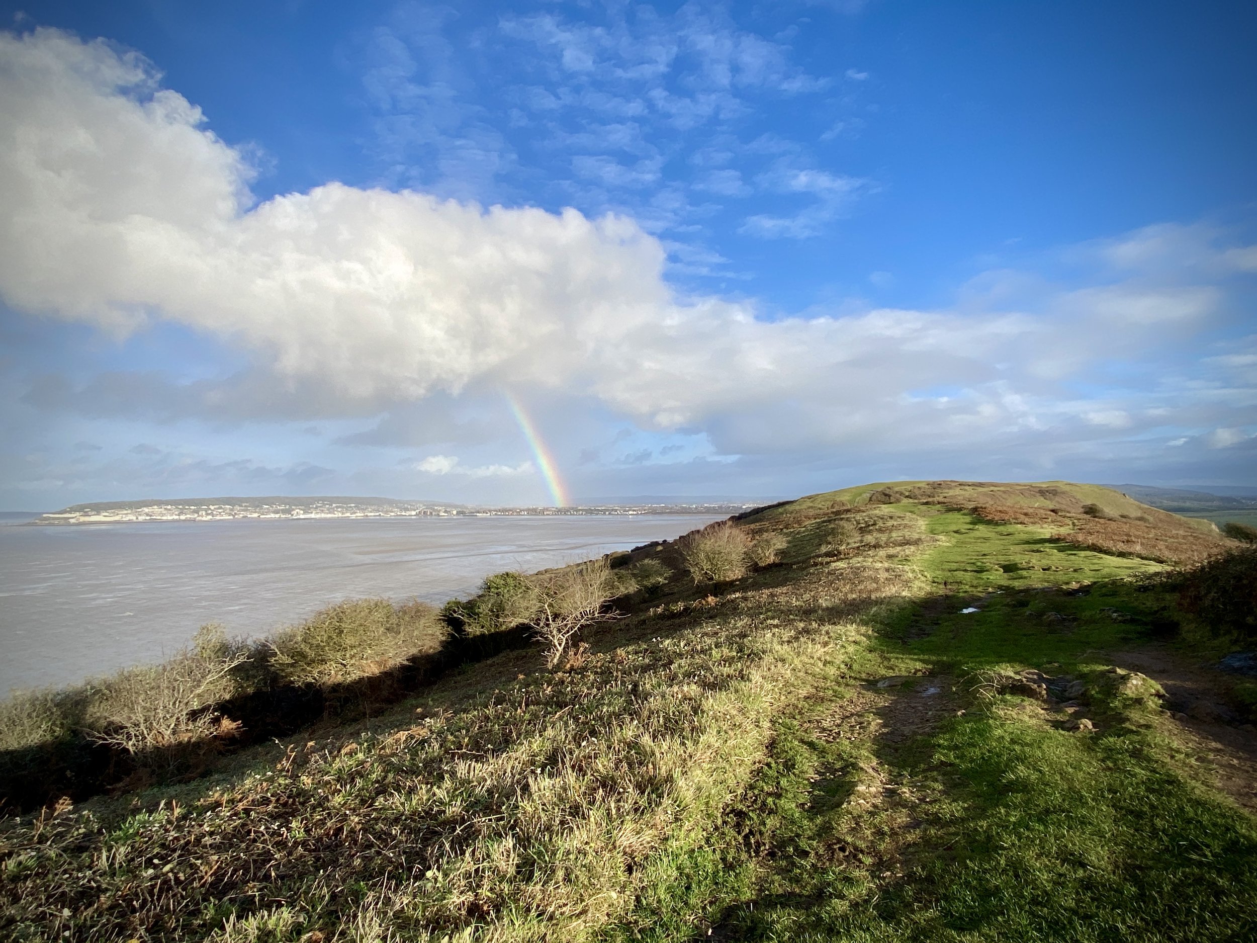
The path to the Trig Pillar starts at the National Trust cafe and ascends steeply to the top of the ridge up some stone steps. At the top of the steps take a left to follow the well-marked path that leads to the end of the peninsula. There’s a great views from 3 sides and we were treated to a vivid double rainbow to the north as a rainstorm passed by and over Weston-Super-Mare.
At the Trig Pillar I was keen to continue the walk to the end of the peninsula to visit the old fort. Timi sensibly called me back as our dry weather window was rapidly closing and we could see the storm clouds coming toward us. We retraced our steps back to the National Trust cafe just as the rain started again.


