Posts tagged Mendips
Brean Down, Somerset

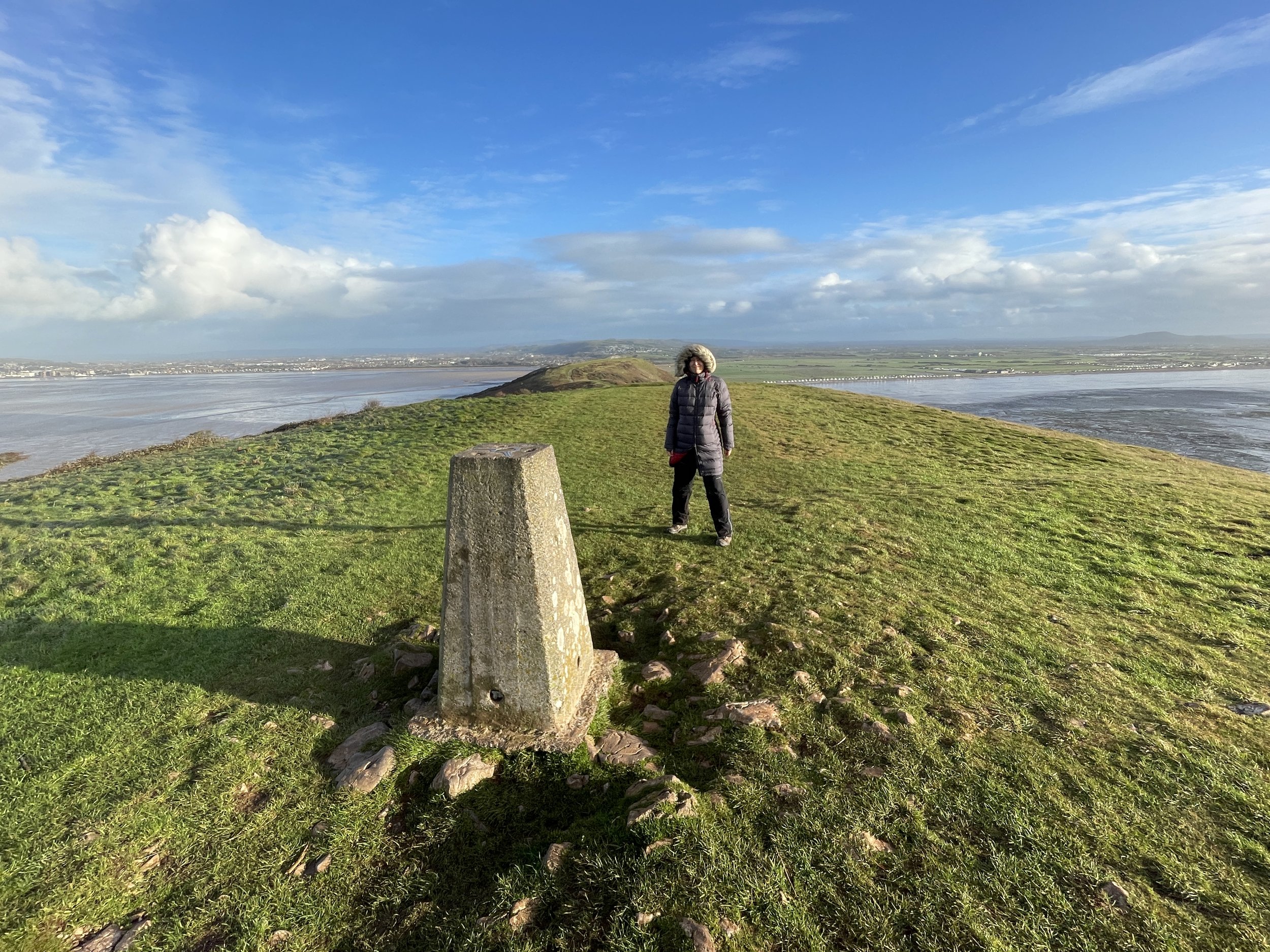
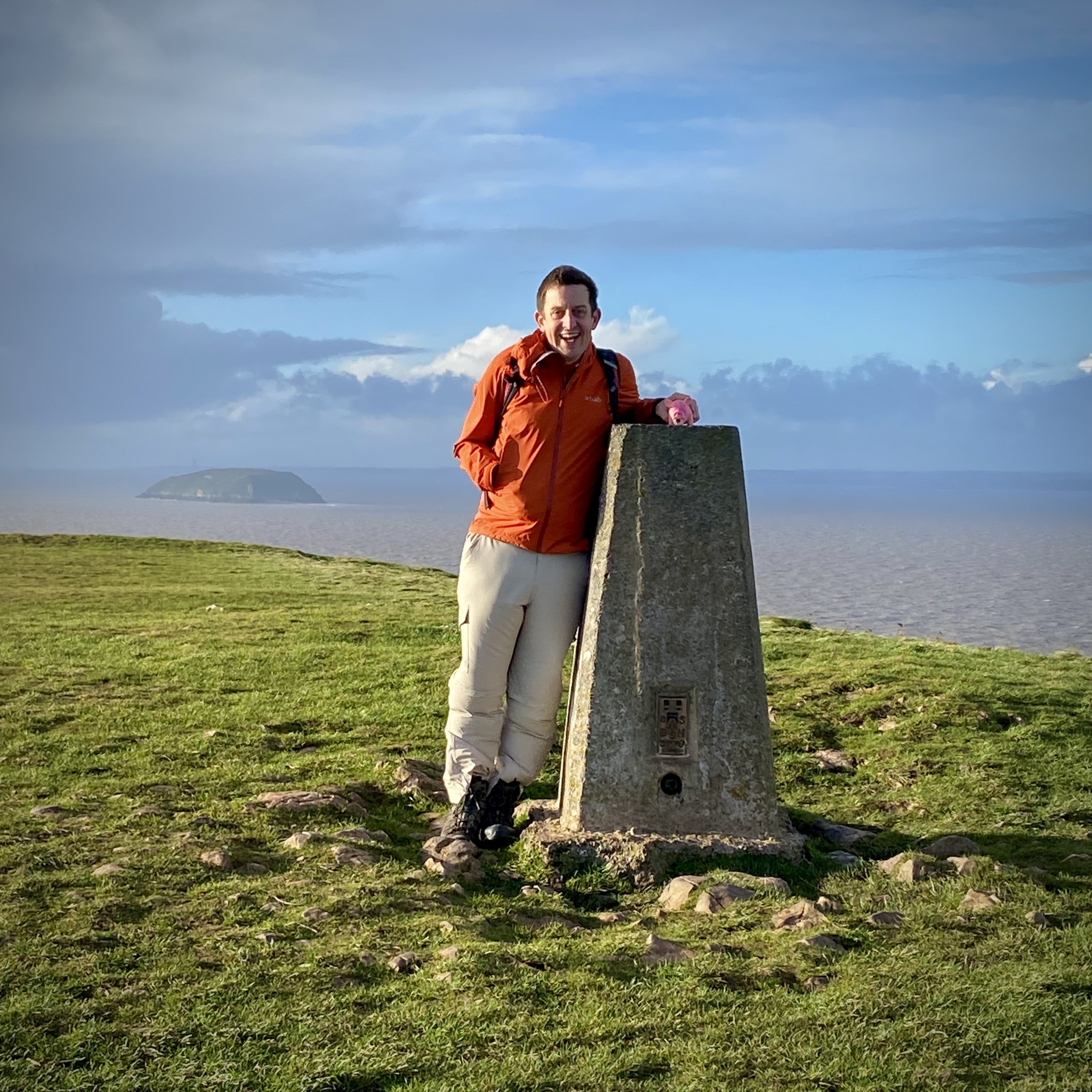
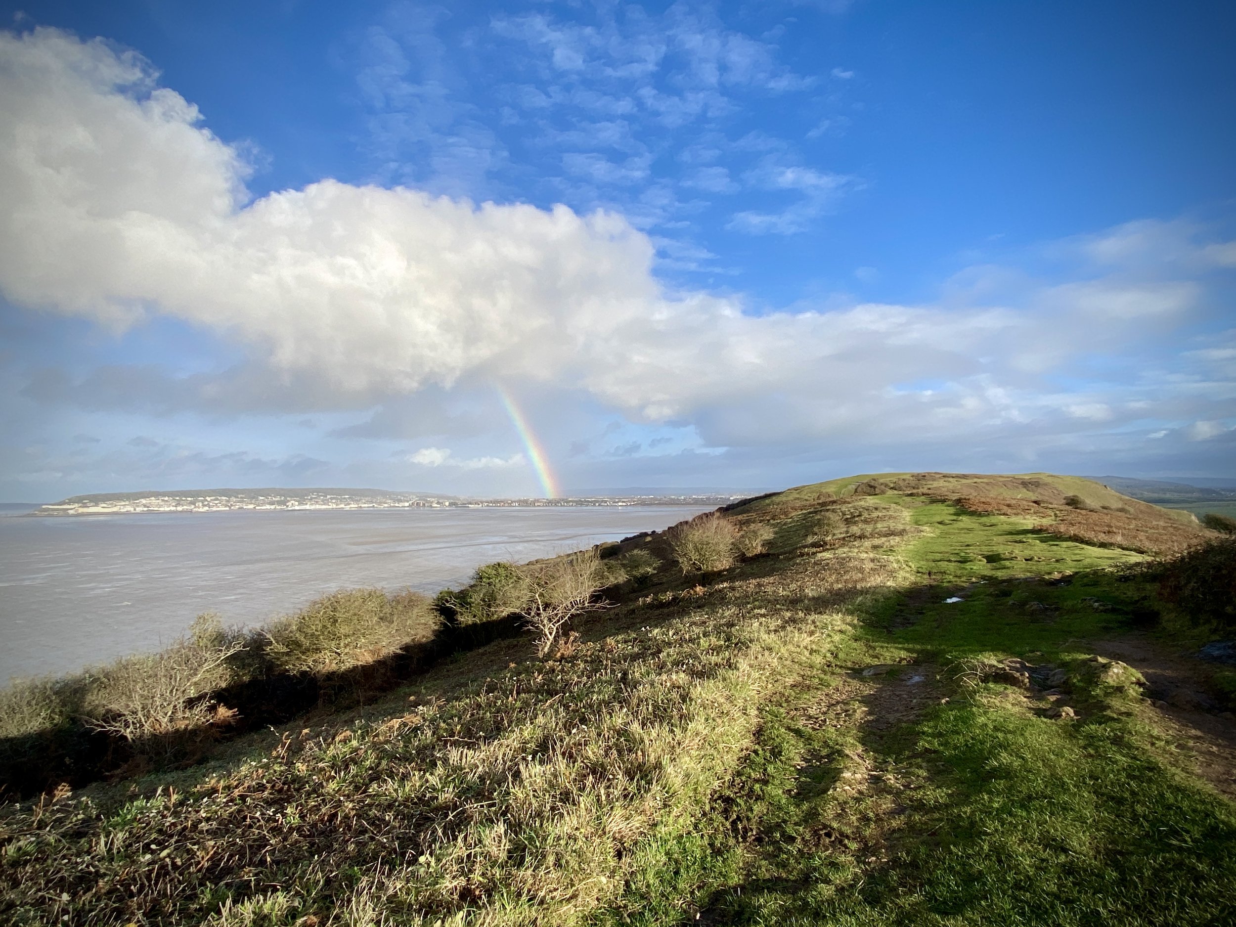
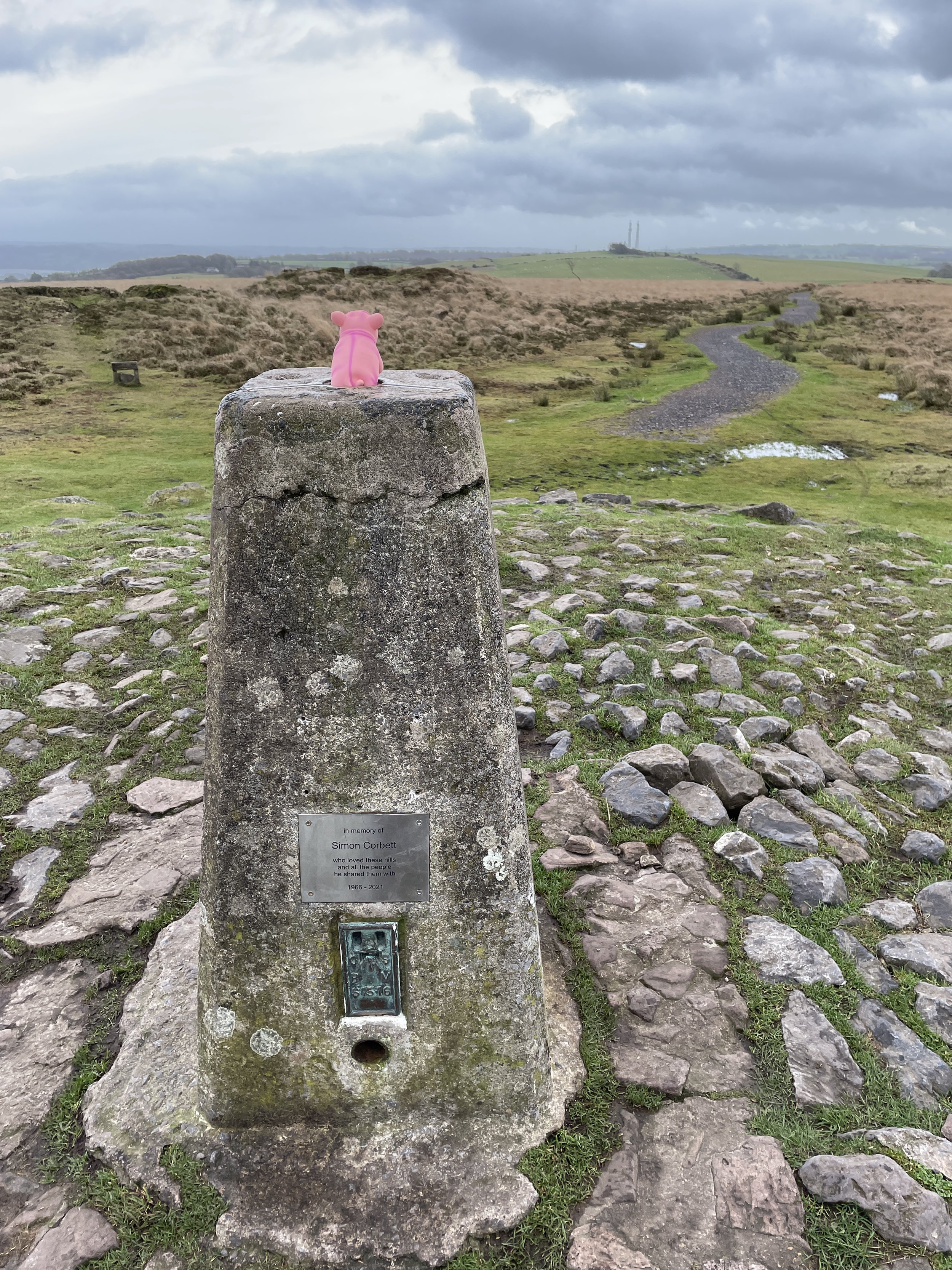
Looking back to the mainland from the Brean Down Trig Pillar


Start & Finish: National Trust Brean Down Car Park, 2 Brean Down Road, Brean, Burnham-on-Sea TA8 2RS
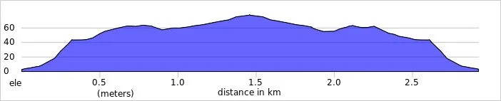
Distance: 3 km (1.9 miles)
Elevation change: +/- 84m
GPX File: get via Buy Me a Coffee
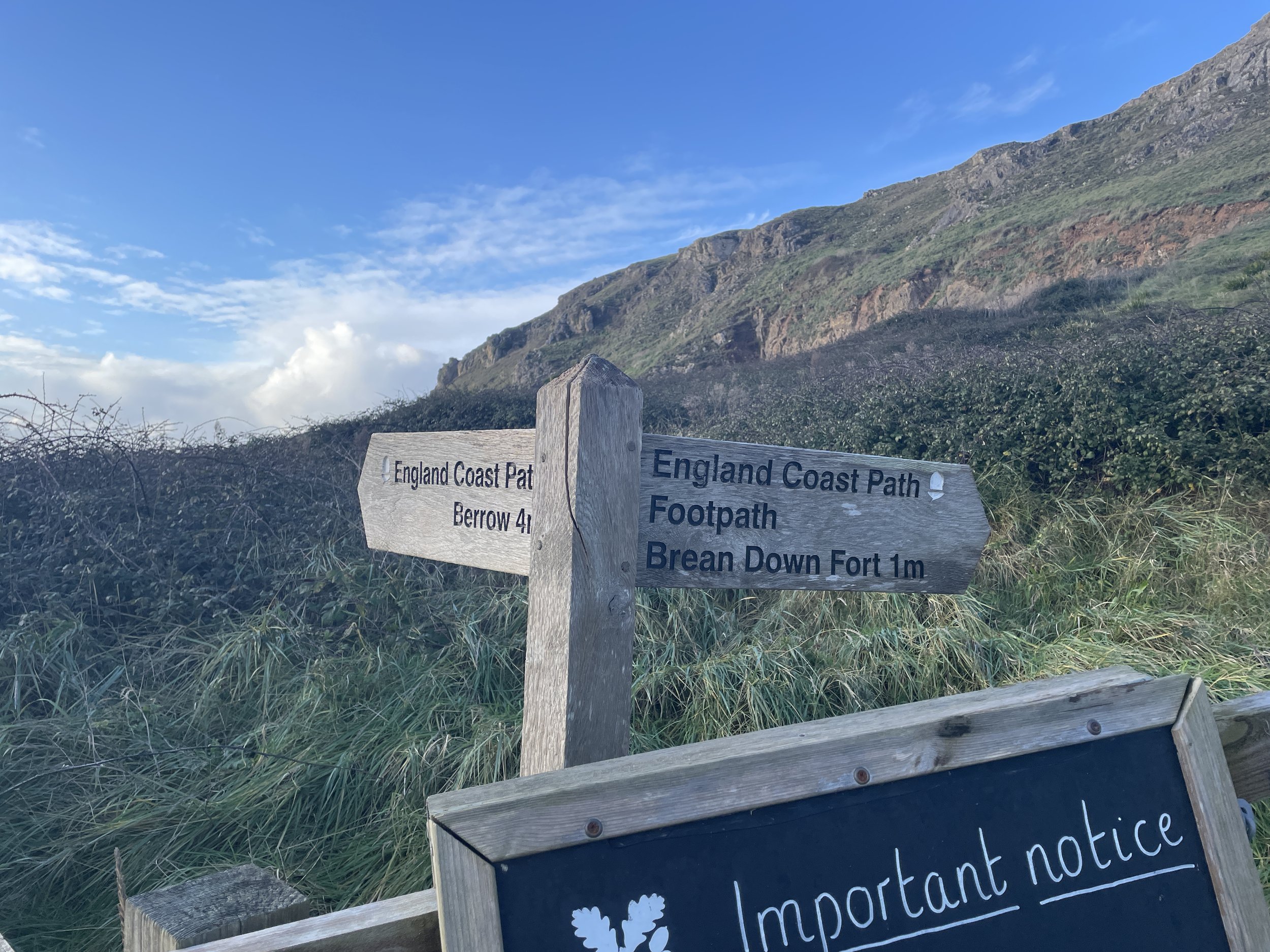
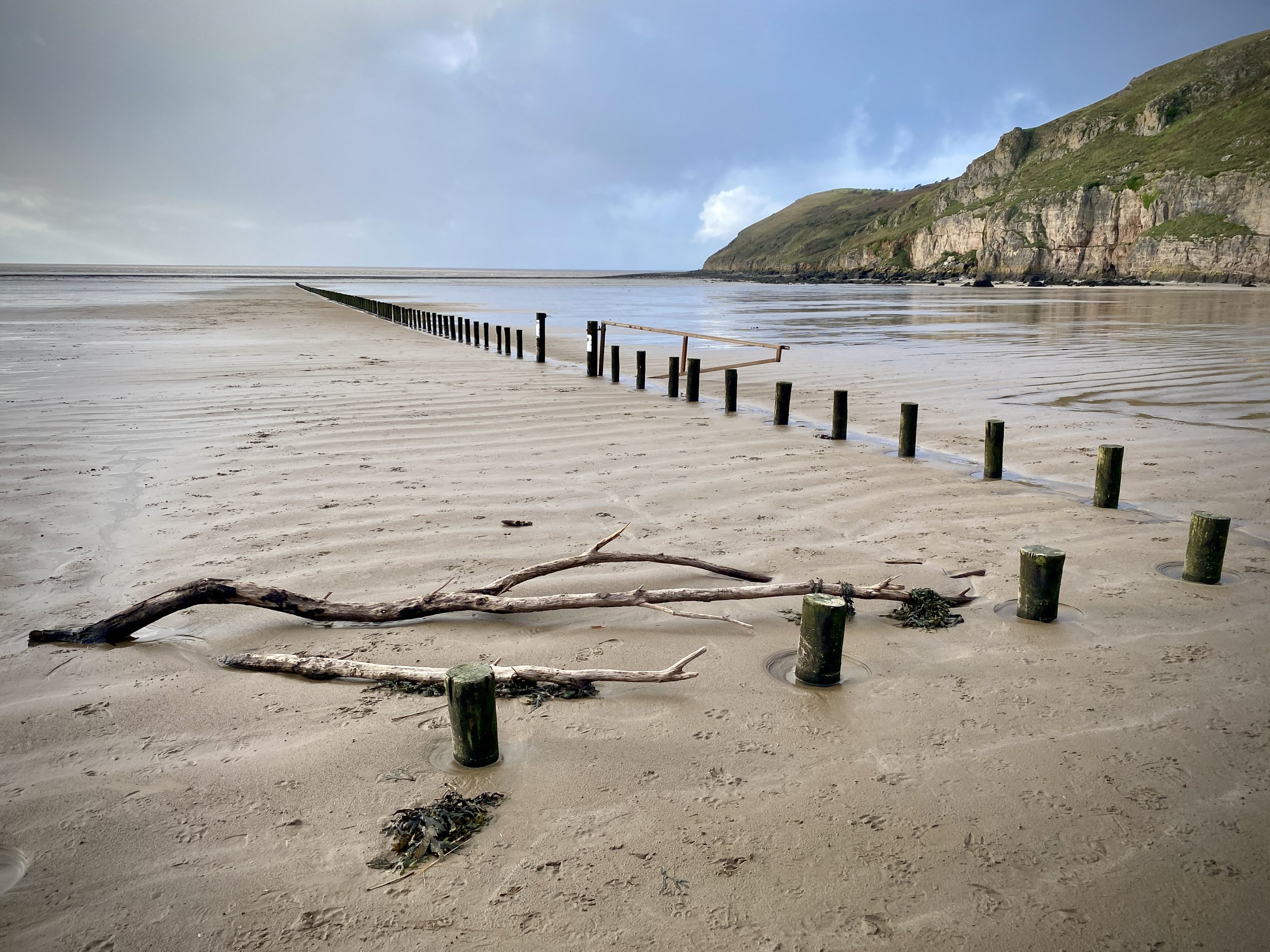
Other routes touched (walk): England Coast Path
Other routes touched (cycle): N/A
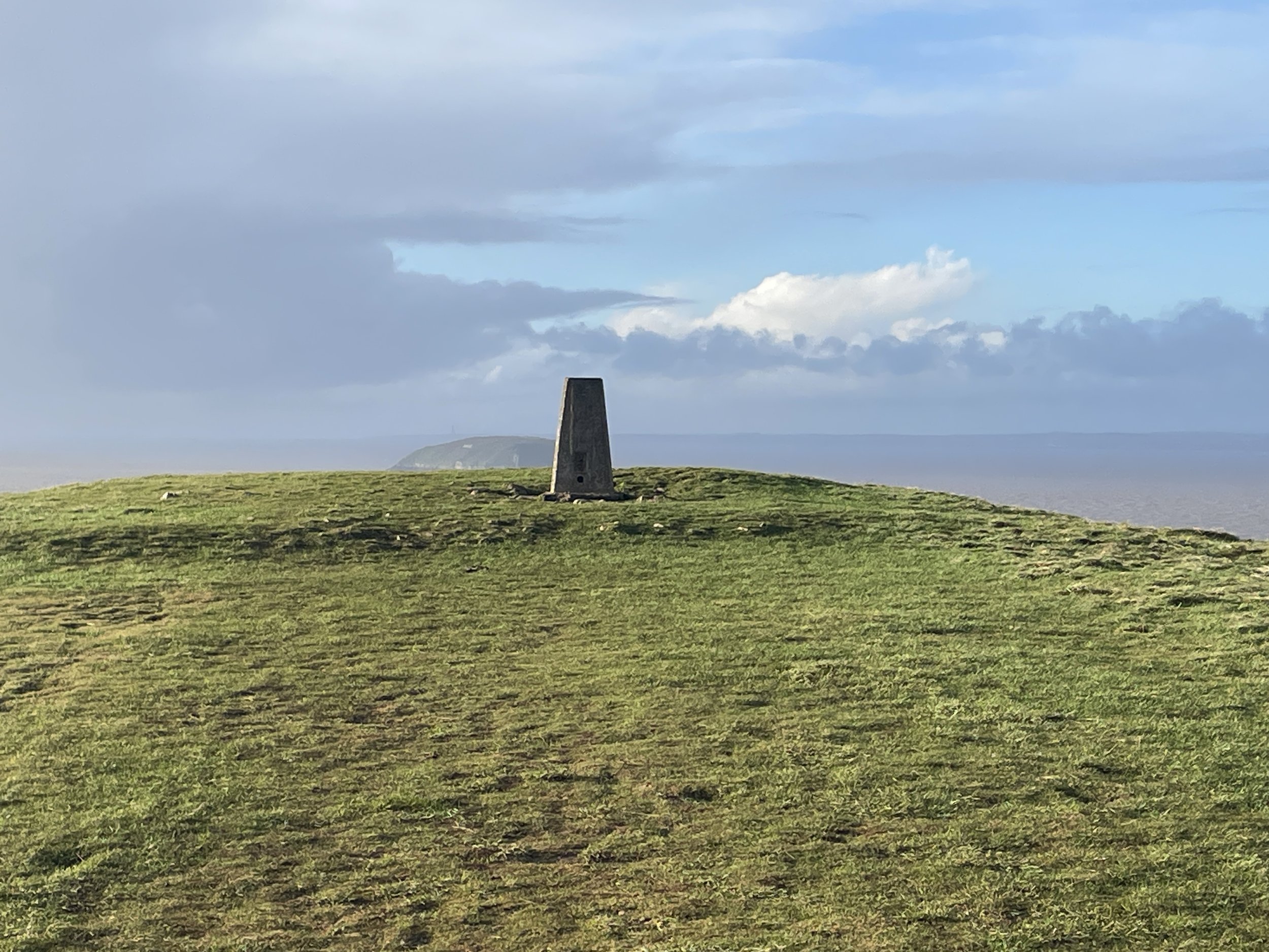
OS Trig Pillar: TP1608 - Brean Down
Pubs / Cafes on route: Cafe at Brean Down National Trust, at start and end.
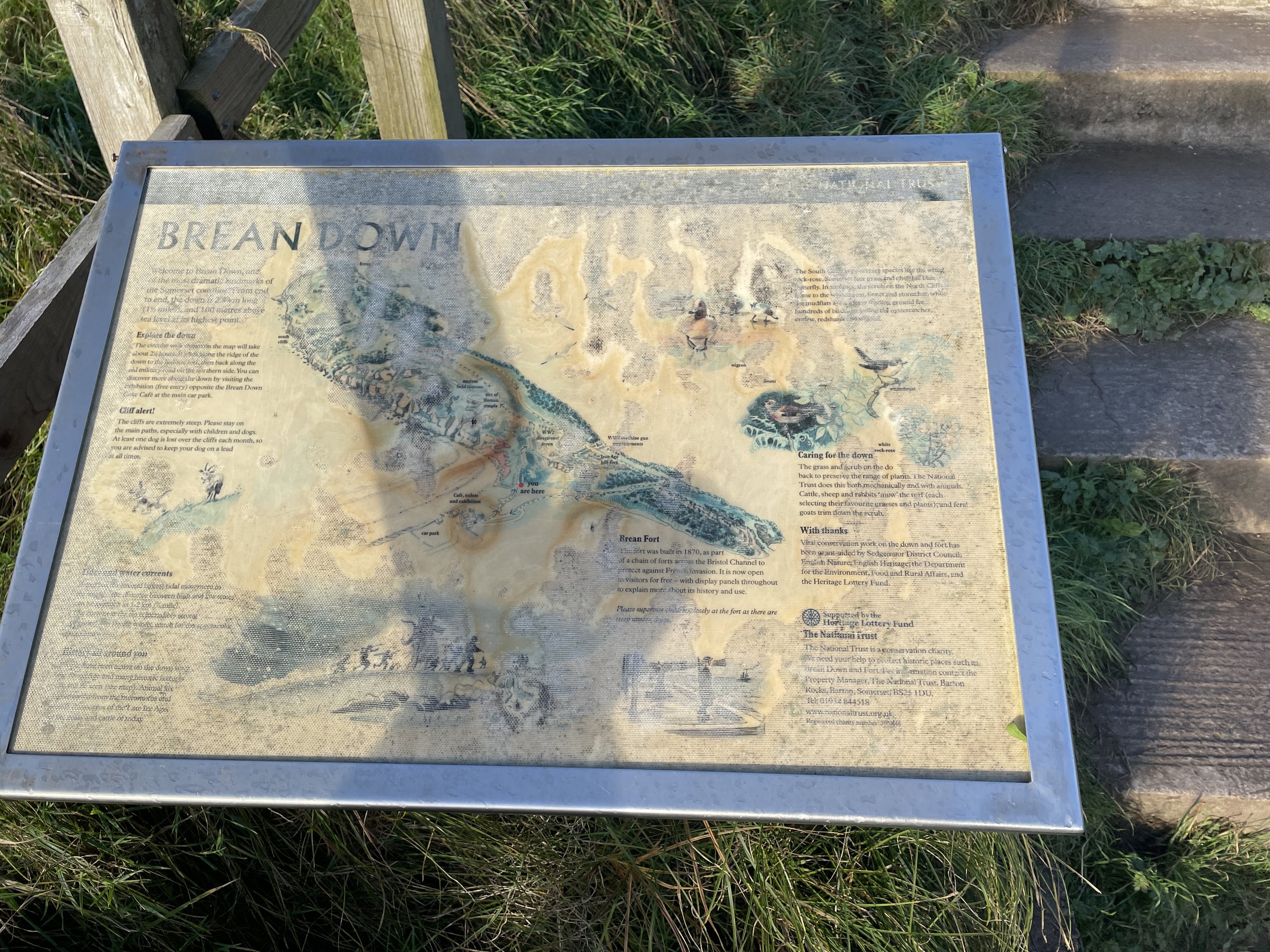
Map: Weston-super-Mare & Bleadon Hill Map | Burnham-on-Sea & Clevedon | Ordnance Survey | OS Explorer Active Map 153
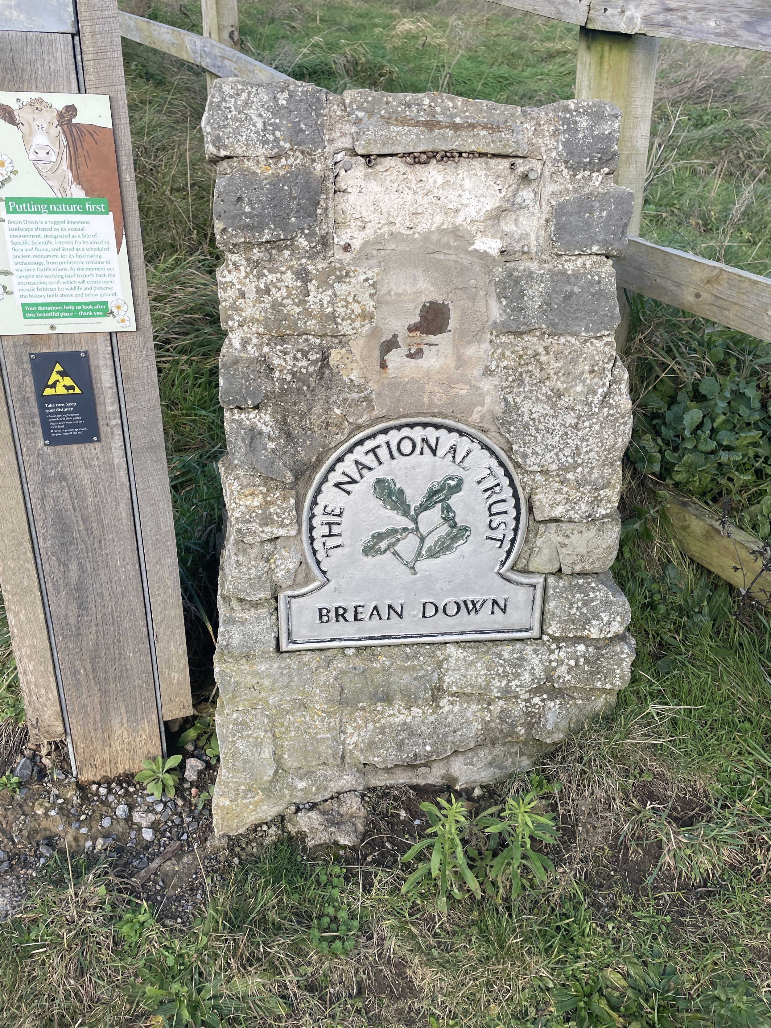
Links: Brean Down, Brean Down National Trust, Hillbagging, Brean Down Fort


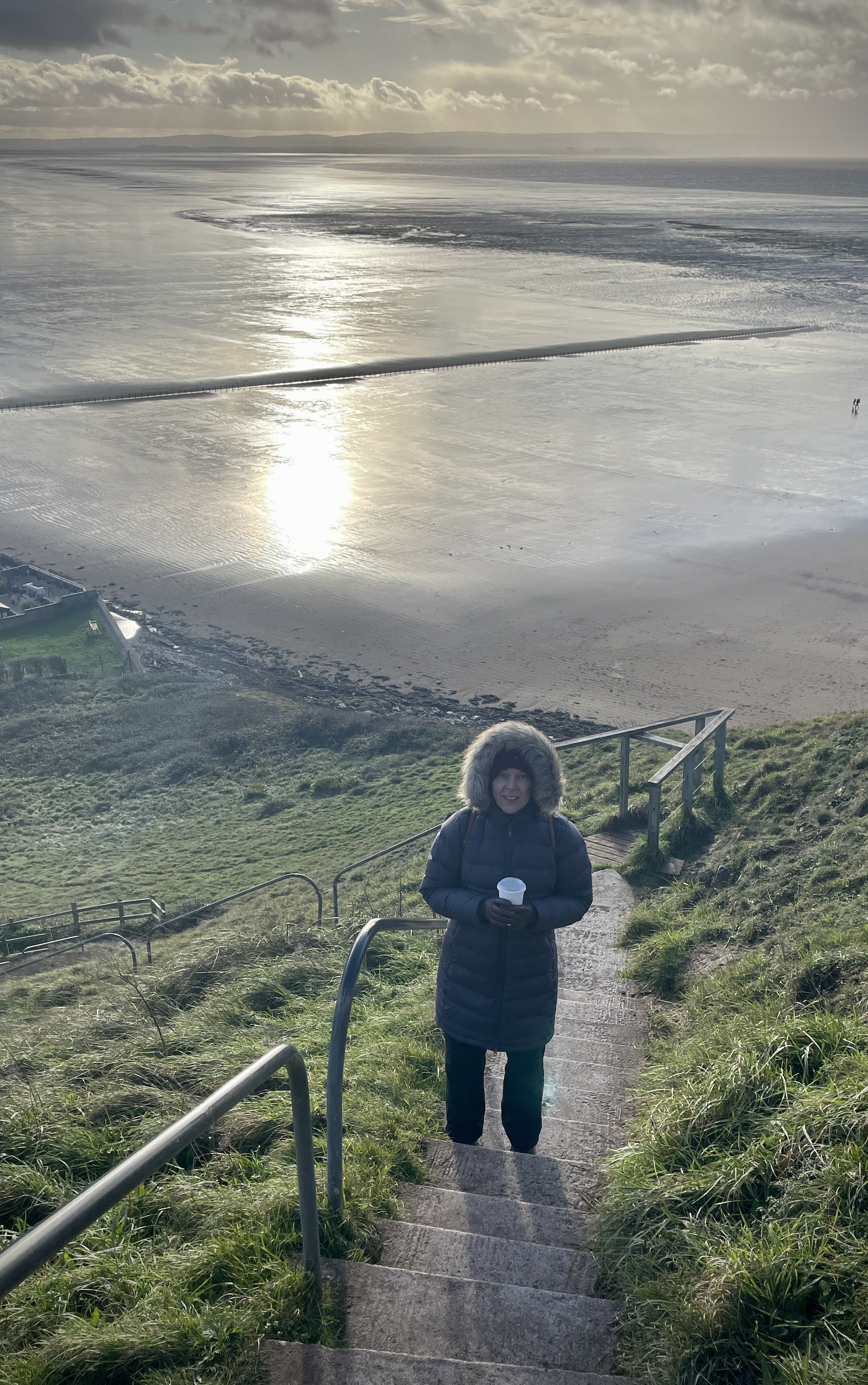
We visited the Brean Down Trig Pillar near the end of a short break in the Mendips between Christmas and New Year. The weather was terrible but we managed to bag a few high points and visit a few of the sea-side towns in the area. We arrived at the Brean Down National Trust car-park just as a downpour was starting. It cleared up quickly and we saw on the weather app that we had a dry spot of around 30 minutes before the rain came again. We took a risk to see if we could get to the Trig Pillar before the rain came back.

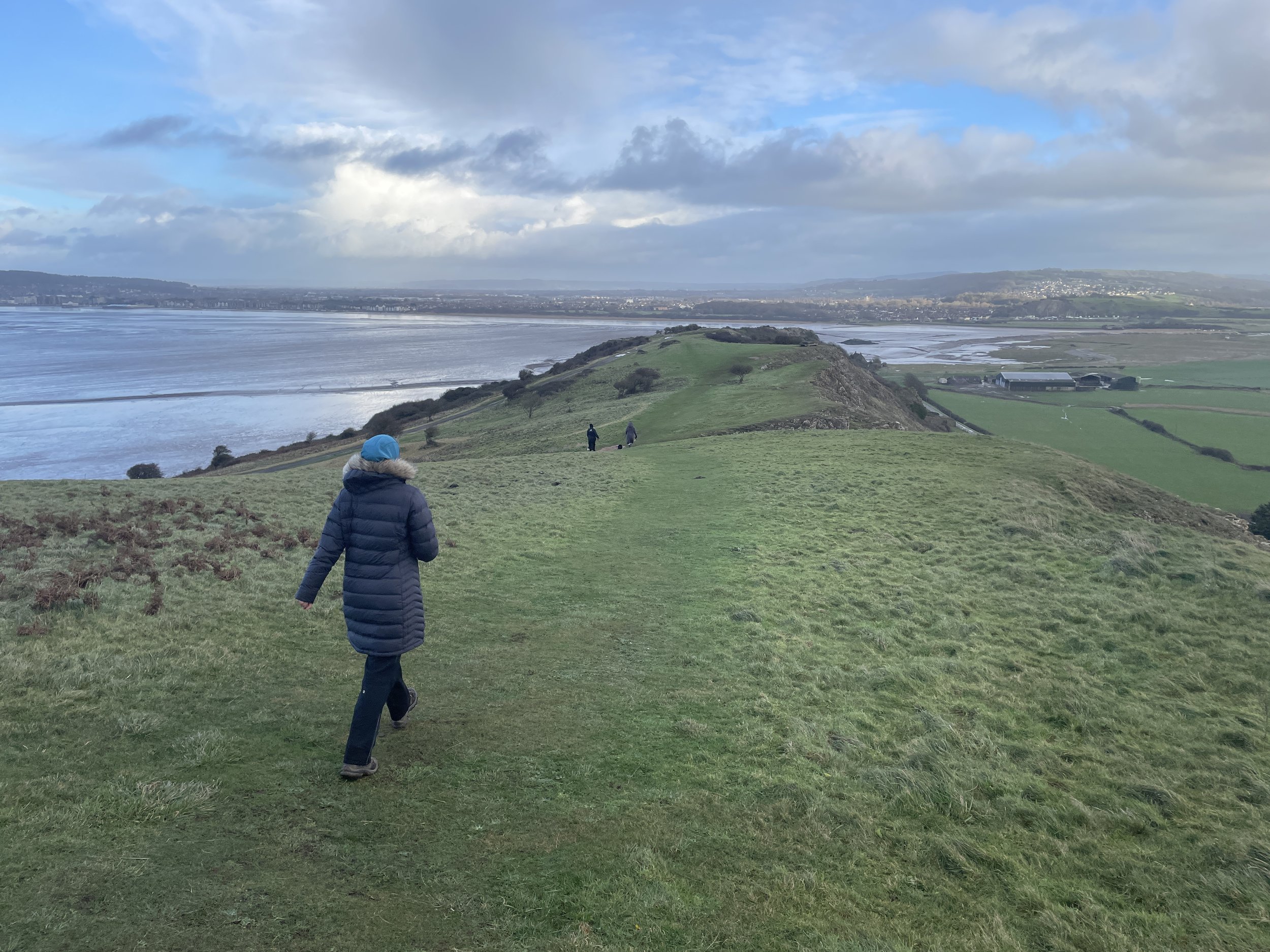
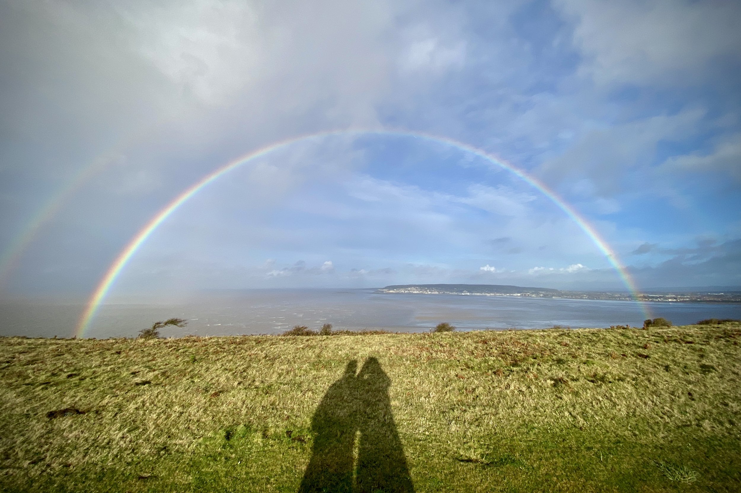
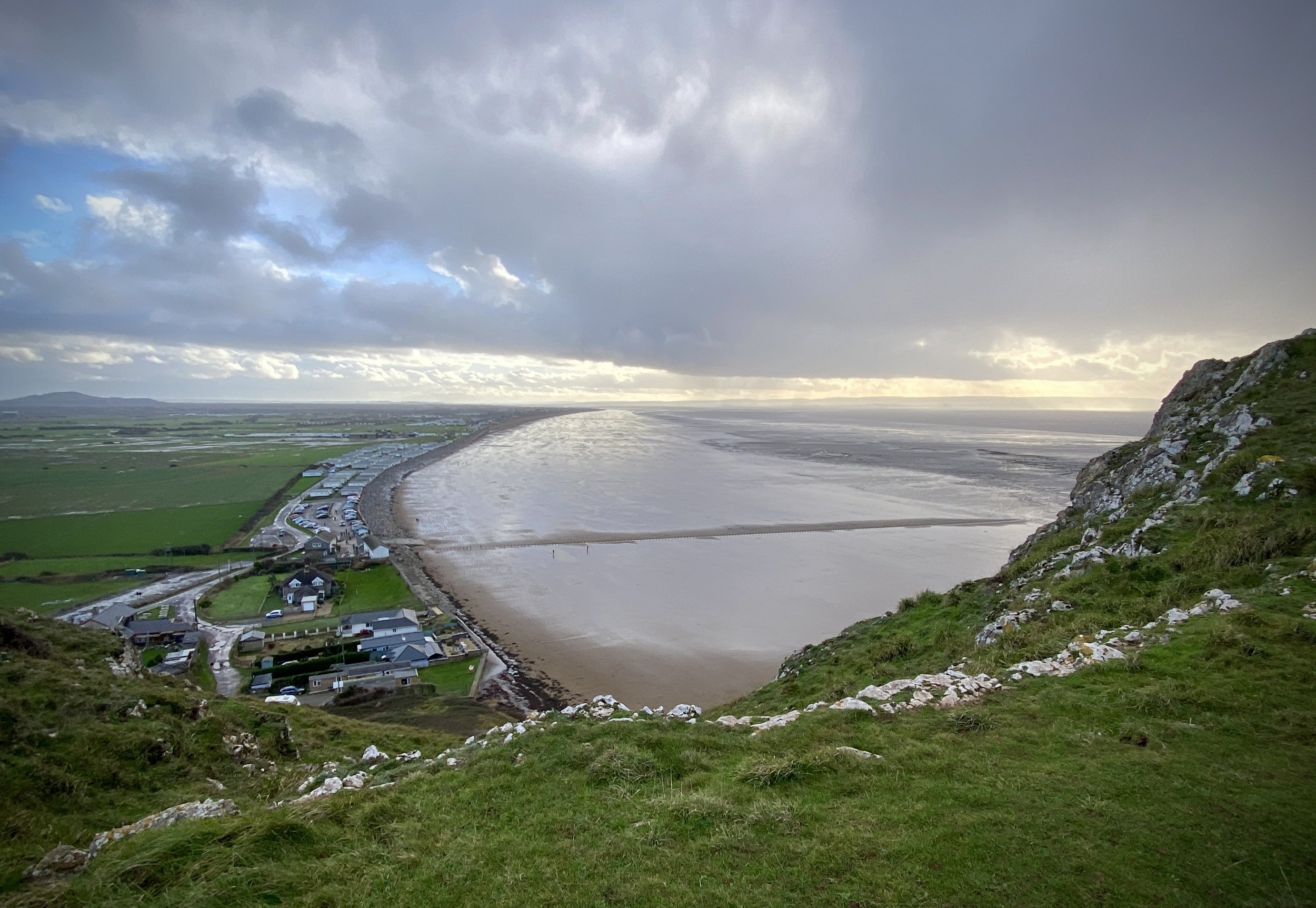
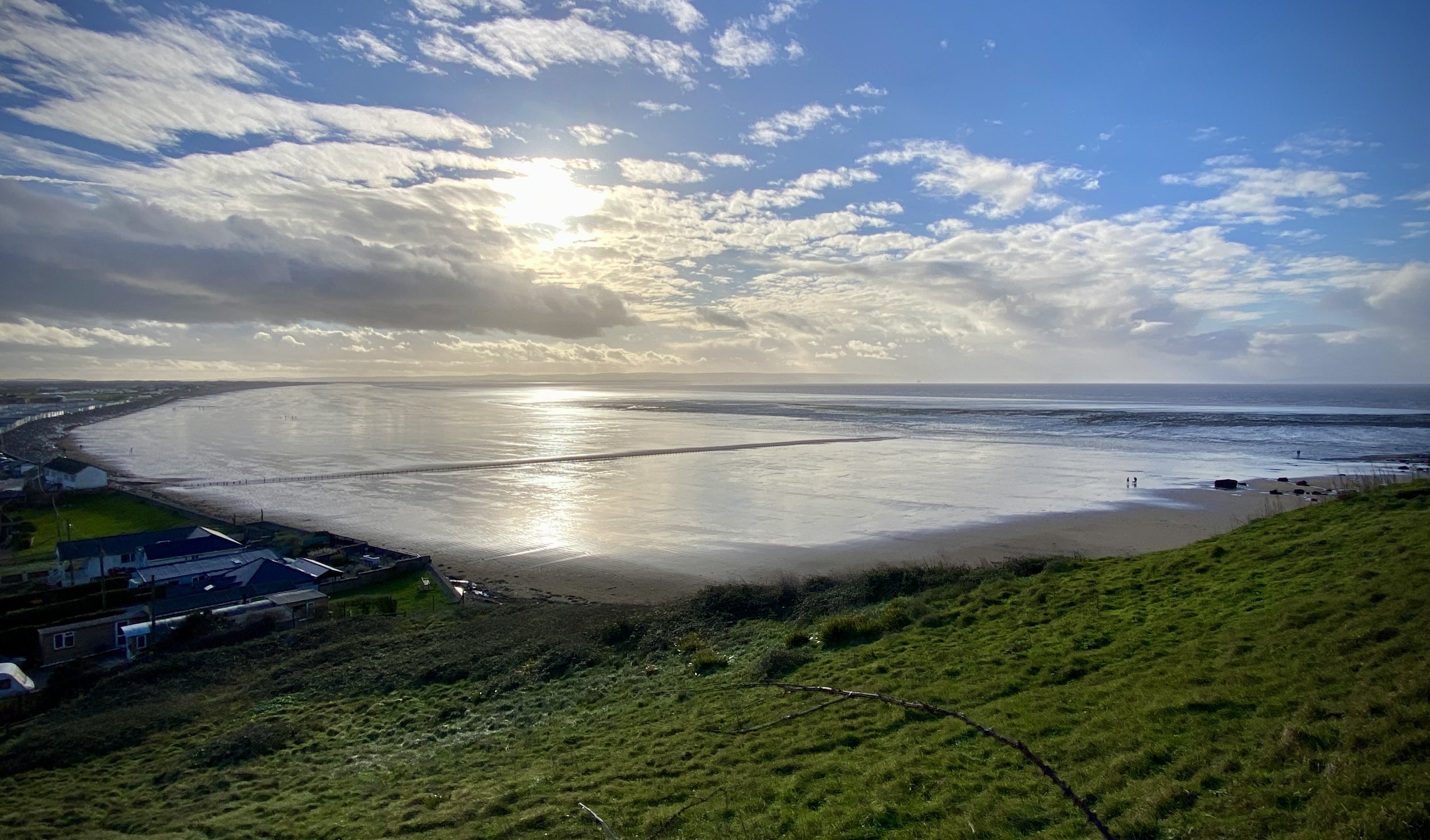
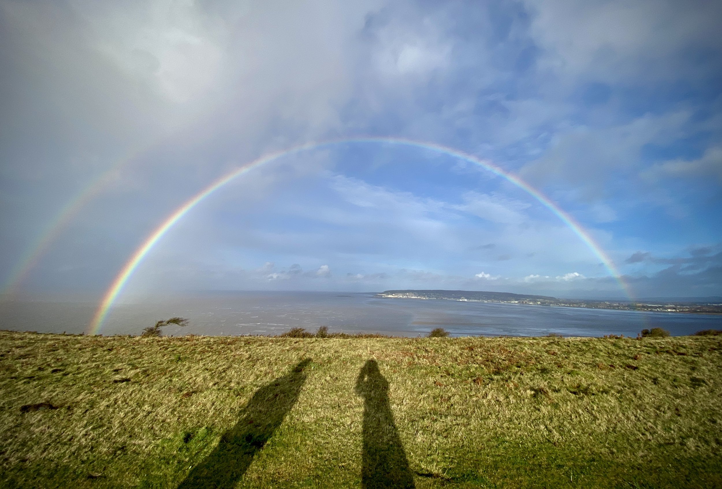
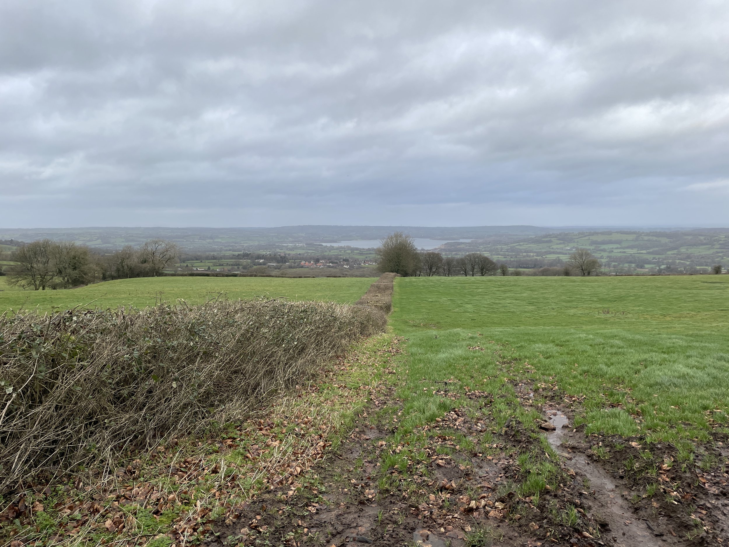
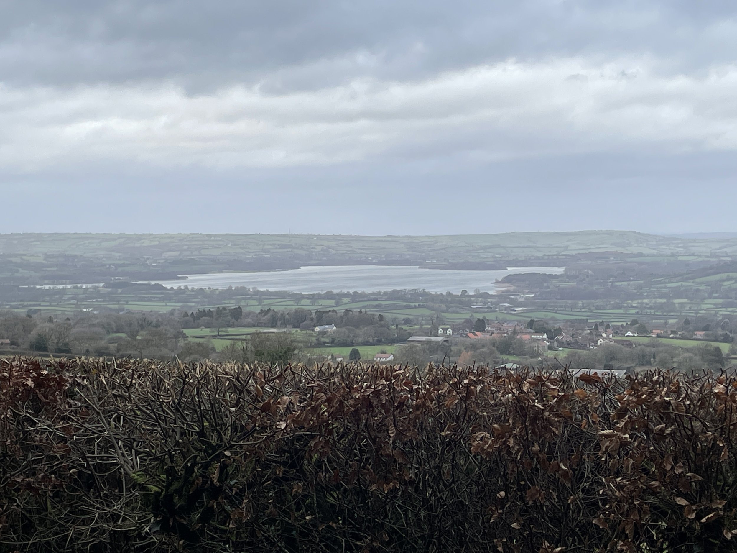
The path to the Trig Pillar starts at the National Trust cafe and ascends steeply to the top of the ridge up some stone steps. At the top of the steps take a left to follow the well-marked path that leads to the end of the peninsula. There’s a great views from 3 sides and we were treated to a vivid double rainbow to the north as a rainstorm passed by and over Weston-Super-Mare.

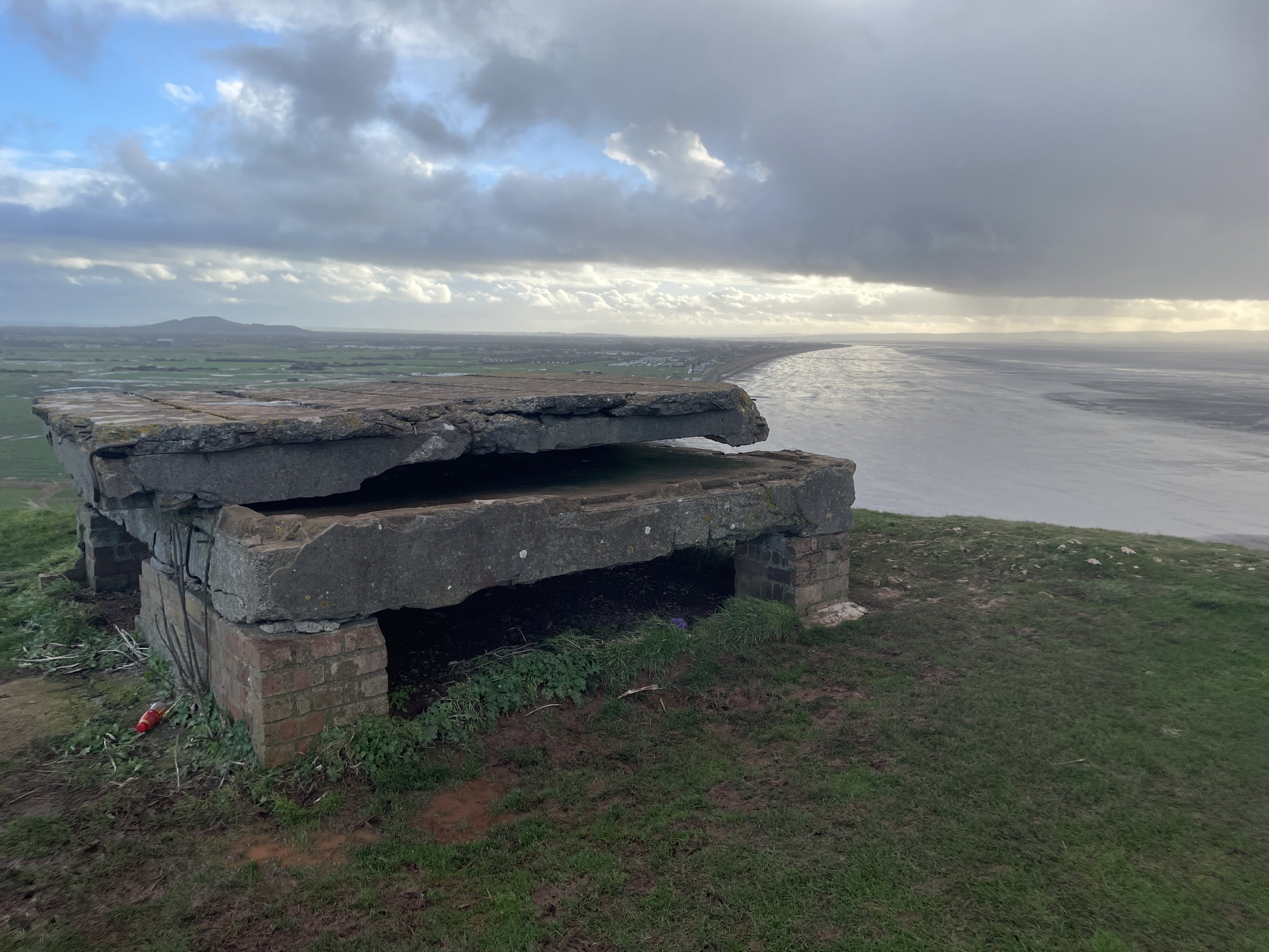
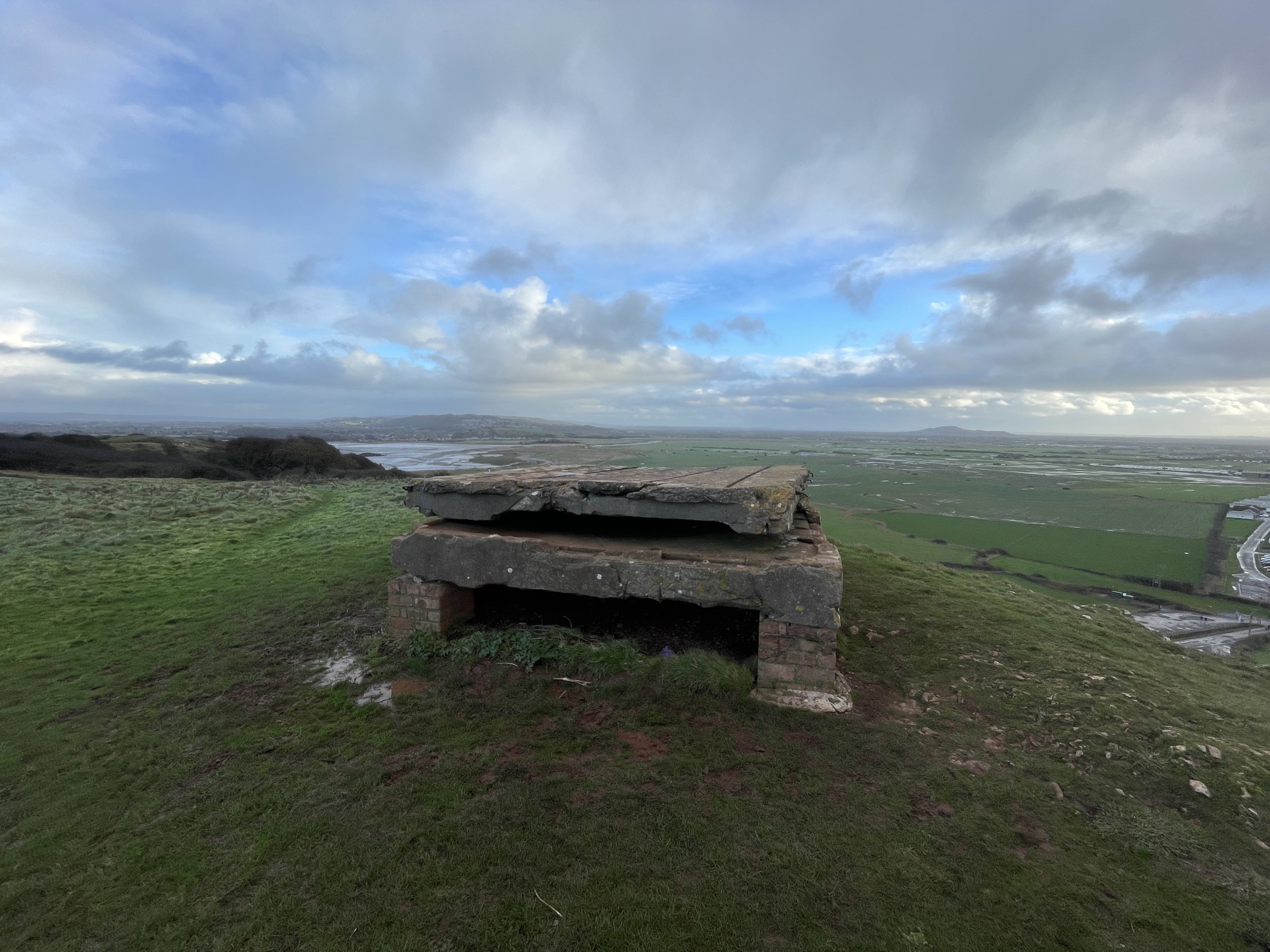
At the Trig Pillar I was keen to continue the walk to the end of the peninsula to visit the old fort. Timi sensibly called me back as our dry weather window was rapidly closing and we could see the storm clouds coming toward us. We retraced our steps back to the National Trust cafe just as the rain started again.


High Points of The Mendip Hills AONB

Trig Pillar at the summit of Beacon Batch


The County of Avon existed as a Ceremonial County between 1974 and 1996. It was comprised of parts of the former Historic Counties of Gloucestershire and Somerset and then, on abolition, split into 4 new Unitary Authorities. The high point of the County of Avon was Niver Hill North Top at 264m which is now the high point of the Unitary Authority of Bath and North East Somerset.

This post features 3 high points closely located to Blagdon Lake in the Mendips AONB:

  • Niver Hill: the high point of the former Ceremonial County of Avon and the present-day Unitary Authority of Bath and North East Somerset

  • Blagdon Hill Farm: the high point of the present-day Unitary Authority of North Somerset

  • Beacon Batch: the high point of the Mendips AONB

All three high points could be reached on a long walk combining the Limestone Link, Mendips Way, Monarch’s Way and The Butcombe Trail, however we split it into 2 shorter walks with a 10 minute drive between them. First up was a short circular walk taking in Beacon Batch and Blagdon Hill.


Beacon Batch and Blagdon Hill Farm Circular Walk

Start & Finish: Burrington Ham Car Park, Burrington Combe, Bristol, BS40 7TZ
Distance: 7.1 km (4.4 miles)
Elevation change: +/- 149m
GPX File: get via Buy Me a Coffee
Other routes touched (walk): Limestone Link, The Butcombe Trail
Other routes touched (cycle): None
Pubs / Cafes on route: None
Map: Cheddar Gorge & Mendip Hills West Map | Wells & Glastonbury | Ordnance Survey | OS Explorer Map 141
Links: Mendips Hills National Landscape, Mendip Hills (Wikipedia), Burrington Ham (Camp)

The obvious place to start this walk is the small parking area at Burrnington Ham on the north side of Burrington Combe road. If you’re really short on time and not bothered about Balgdon Hill Farm you can bag Beacon Batch on a 2.4km out-and-back from the parking area.

For the full 7.1 km circular walk take the footpath on the north-east side of the parking area that follows the Limestone Link to the east connecting with Luvers Lane. At the end of Luvers Lane take a right onto Two Trees (lane). Continue along Two Trees, heading south-east for around 600m and take a left onto Leaze Lane. The Blagdon Hill Farm High Point is 250m along this lane. There’s nothing to mark the summit but you get great views to the north over Blagdon Lake.

Continue east along Leaze Lane to the entrance of the farm and take the path on the right that heads south along field edges to the B3134 Broad Road. Take a right to follow Broad Road for ~300 metres then carefully cross over to the footpath on the south side of the road. Be very careful on this bit as it’s a busy road with no pavement but there is a small grass margin to avoid being on the road with the cars.

Follow the path as it zig-zags through fields in a southerly direction for just under 1 km to meet Rains Batch Road and the Butcombe Trail. Take a right and follow the road to the Wireless Station. Continue along the Butcombe Trail for another 1 km to the edge of the open space surrounding the Beacon Batch summit. Leave the Butcombe Trail to take a path heading north, north-west to the Trig Pillar marking the Mendips high point.

After the Trig Pillar take a northerly path the descend back down to the car park.


Blagdon Hill Farm

Significance: High Point for the Unitary Authority of North Somerset
Member of: N/A
Parent Peak: Beacon Batch
Nearest Higher Neighbour: Beacon Batch
Historic County: Somerset (of which Dunkery Beacon is the County Top). Was also part of the former Ceremonial County of Avon (of which Niver Hill was the County Top)
Elevation: 242m
Date “climbed”: December 28th 2023
Coordinates: 51° 19' 1'' N, 2° 42' 47'' W
Links: Wikipedia (North Somerset), Peakbagger, Hillbagging


Beacon Batch

Also known as: Black Down
Significance:
High Point for The Mendips AONB
Member of: Marilyns
Parent Peak: The Wrekin (according to Wikipedia although it seems unlikely)
Nearest Higher Neighbour: Lydeard Hill
Historic County: Somerset (of which Dunkery Beacon is the County Top)
Elevation: 325m
Date “climbed”: December 28th 2023
Coordinates: 51° 18' 44'' N, 2° 44' 27'' W
OS Trig Pillar: TP1472 - Blagdon
Links: Wikipedia (Mendip Hills, Black Down), Peakbagger, Hillbagging


Niver Hill North Top Out-and-back Walk

Start & Finish: Forestry England East Harptree Car Park, East Harptree, BS40 6DA
Distance: 2 km (1.2 miles)
Elevation change: +/- 27m
GPX File: get via Buy Me a Coffee
Other routes touched (walk): Monarch’s Way
Other routes touched (cycle): None
Pubs / Cafes on route: None
Map: Cheddar Gorge & Mendip Hills West Map | Wells & Glastonbury | Ordnance Survey | OS Explorer Map 141

Following the Beacon Batch and Blagdon Hill Farm walk it’s a 10 minute drive to the start of this shorter walk starting from the Harptree Car Park. From the car park entrance take a left onto Smitham Hill, then first right onto Nettwood Lane. Continue along Nettwood Lane until the farm entrance, then along the footpath, following the Monarch’s Way, along the edge of the field. The unmarked high point is in the south-eastern corner of this first field at the start of a row of trees. The boundary between Bath and Northeast Somerset and the County of Somerset runs along the field edge that you have just followed then takes a right angle following the hedge-line north towards the lake.

Retrace your steps back to the car park.

Niver Hill North Top

Significance: High Point for the Unitary Authority of Bath and North East Somerset
Member of: N/A
Parent Peak: Niver Hill
Nearest Higher Neighbour: Niver Hill
Historic County: Somerset (of which Dunkery Beacon is the County Top)
Elevation: 264m
Date “climbed”: December 28th 2023
Coordinates: 51° 16' 56'' N, 2° 37' 31'' W
Links: Wikipedia (Bath and North East Somerset), Peakbagger, Hillbagging