Hanging Hill: South Gloucestershire High Point
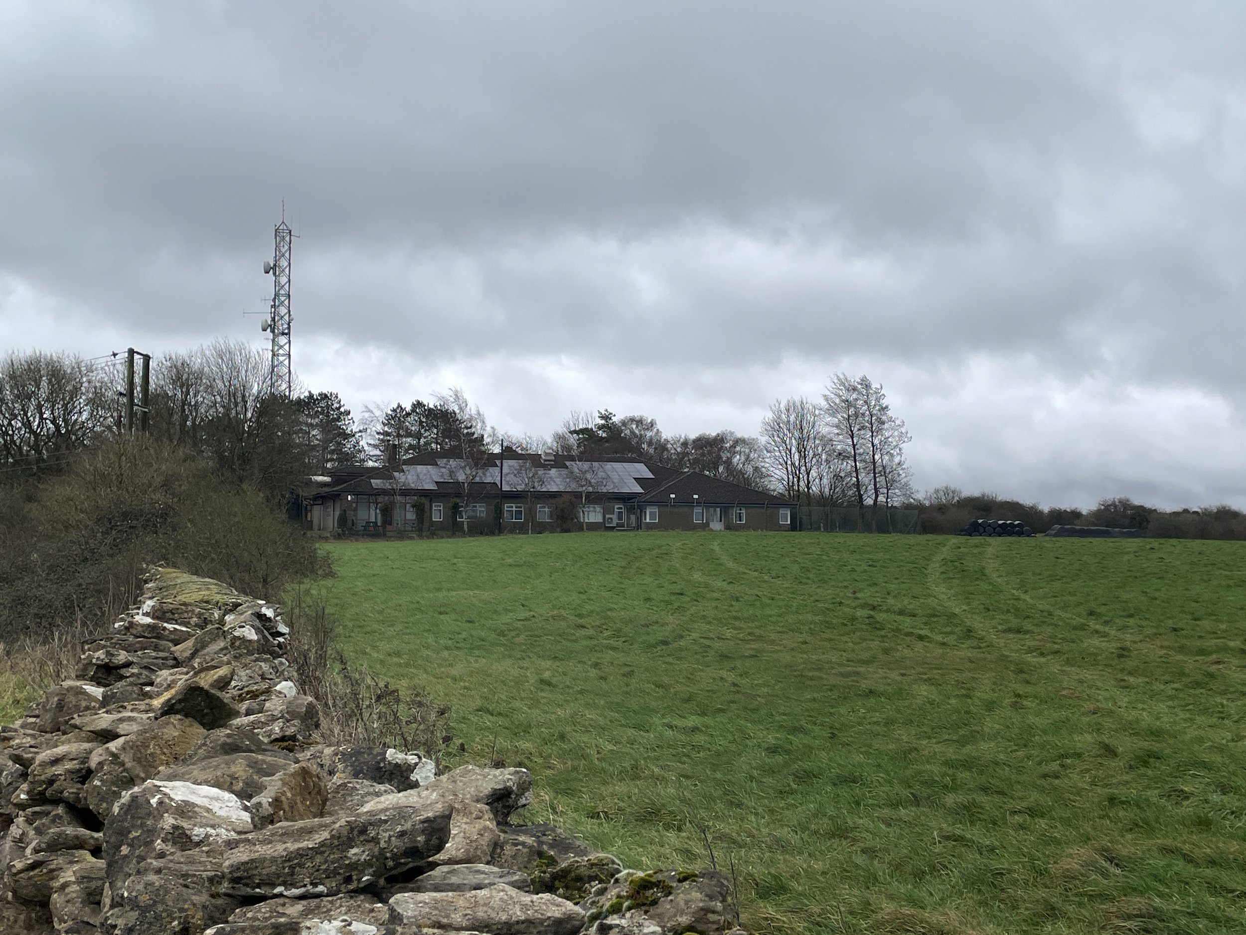
Hanging Hill summit is by the transmitter at Avon Fire and Rescue Service Southwest Command Development Centre
Start & Finish: Layby near Sir Bevil Grenville's Monument, Cotswold Way, Bath, BA1 9DD
Distance: 2.2 km (1.4 miles)
Elevation change: +/- 28m
GPX File: get via Buy Me a Coffee
Other routes touched (walk): Cotswolds Way
Other routes touched (cycle): N/A
Pubs / Cafes on route: None
Map: Bristol & Bath Map | Keynsham & Marshfield | Ordnance Survey | OS Explorer Map 155
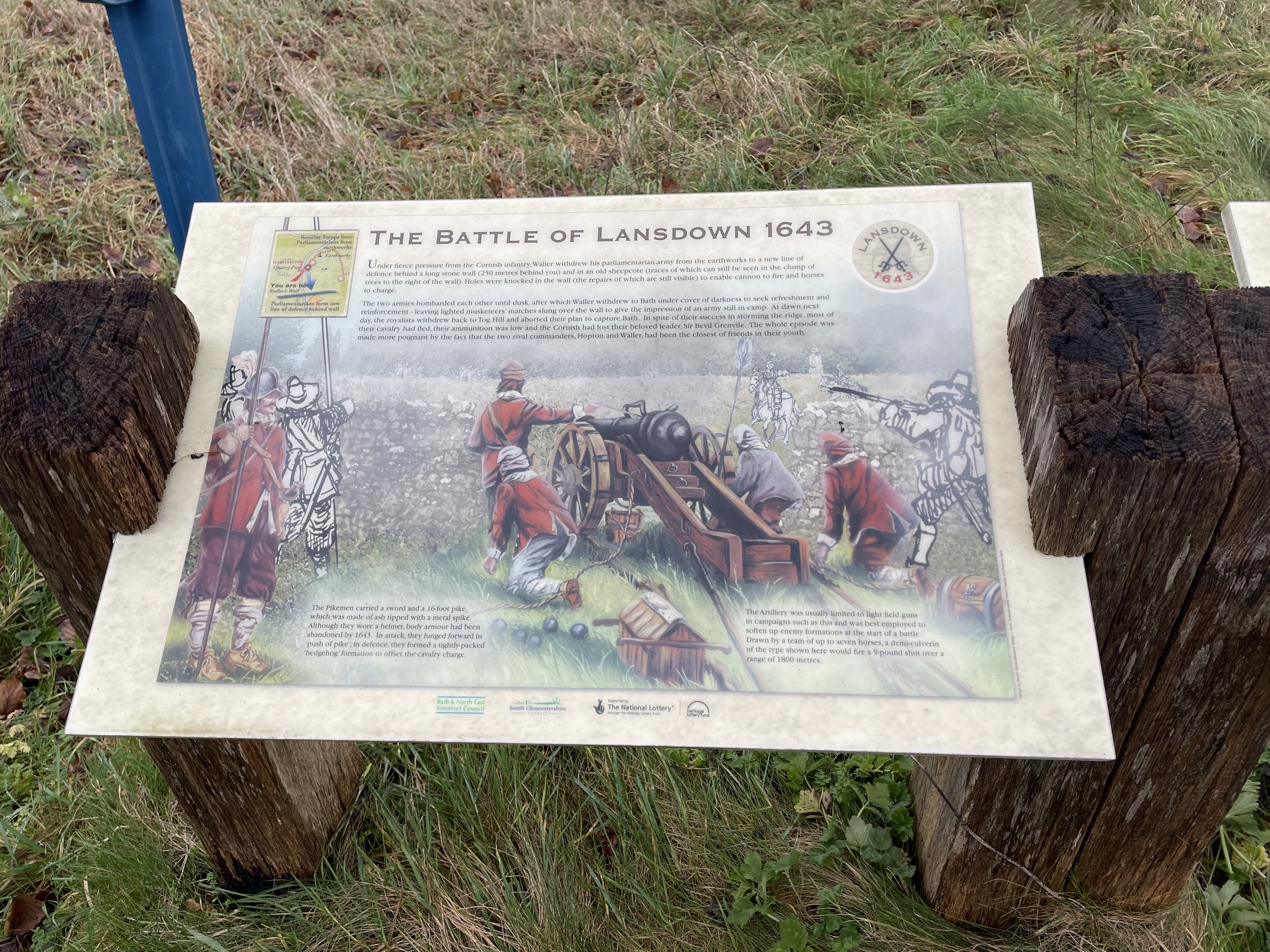
Links: Bevil Granville, Sir Bevil Grenville's Monument, Battle of Lansdowne
Significance: High Point for the Unitary Authority of South Gloucestershire
Member of: N/A
Parent Peak: Beacon Batch
Nearest Higher Neighbour: Niver Hill
Historic County: Gloucestershire (of which Cleeve Hill is the County Top).
Elevation: 237m
Date “climbed”: December 30th 2023
Coordinates: 51° 25' 51'' N, 2° 24' 31'' W
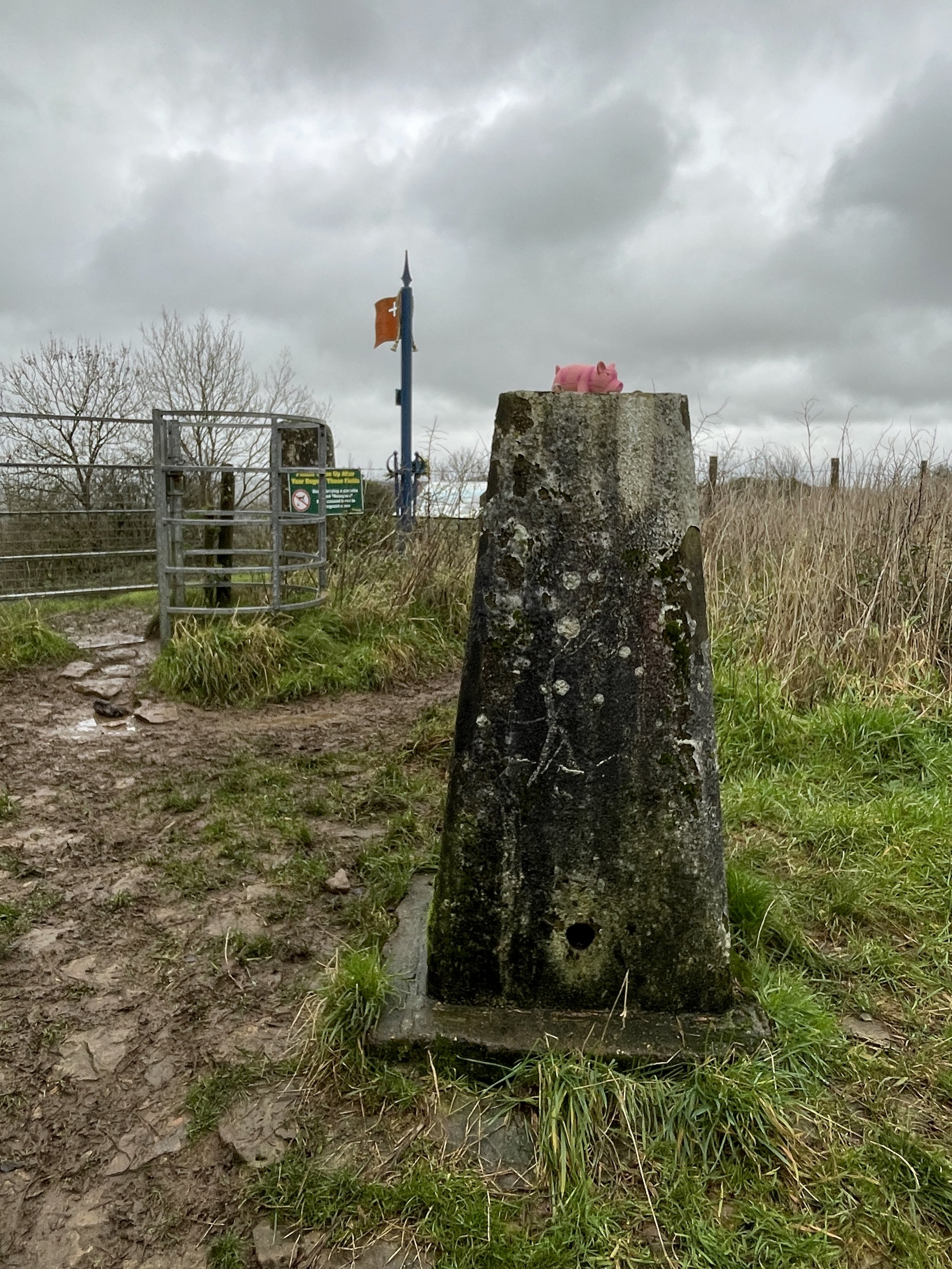
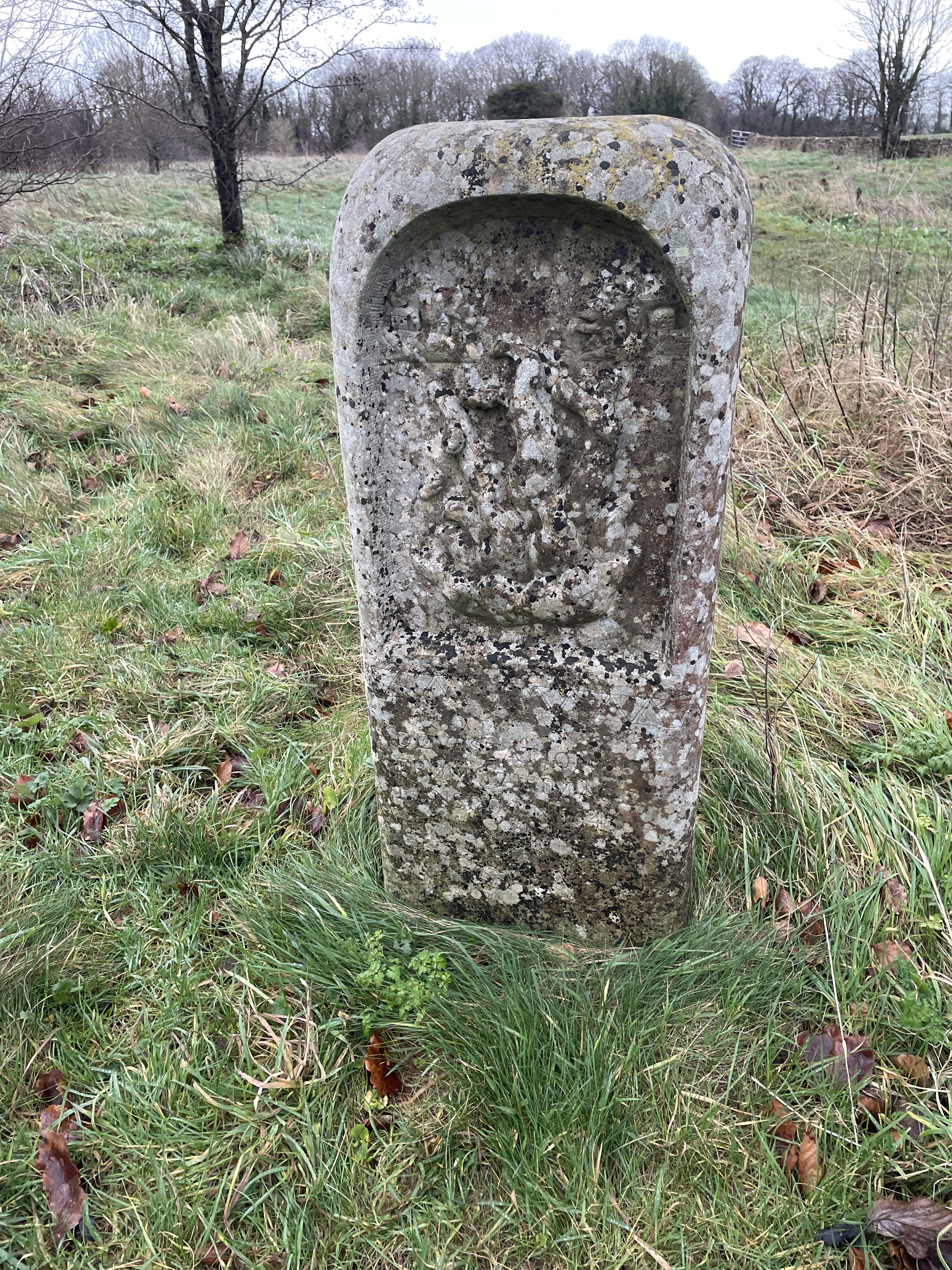
OS Trig Pillar: TP3599 - Hanging Hill
Links: Wikipedia (South Gloucestershire), Peakbagger
Hanging Hill is the High Point of the Unitary Authority of South Gloucestershire which was created after the abolition of the Ceremonial County of Avon. Having bagged 2 of of the 4 high points of the ex-Avon Unitary Authorities on a trip to the Mendips I was keen to get this one on the way back home. The 4th one, Dundry Hill, will have to wait for a future trip.
This high point can be bagged either on a short out-and-back or, as I did, a short circular. There’s free but limited parking off for the Sir Bevil Grenville's Monument on the road leading north from Landsdown. There were a lot of cars even on a cold winter day when when we arrived.
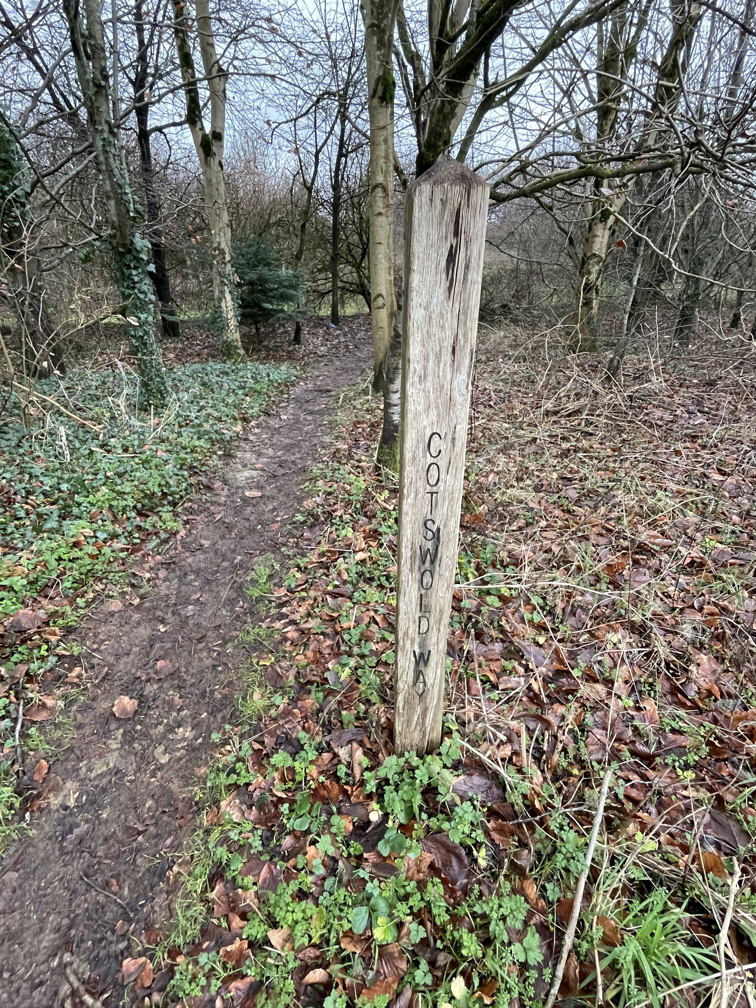
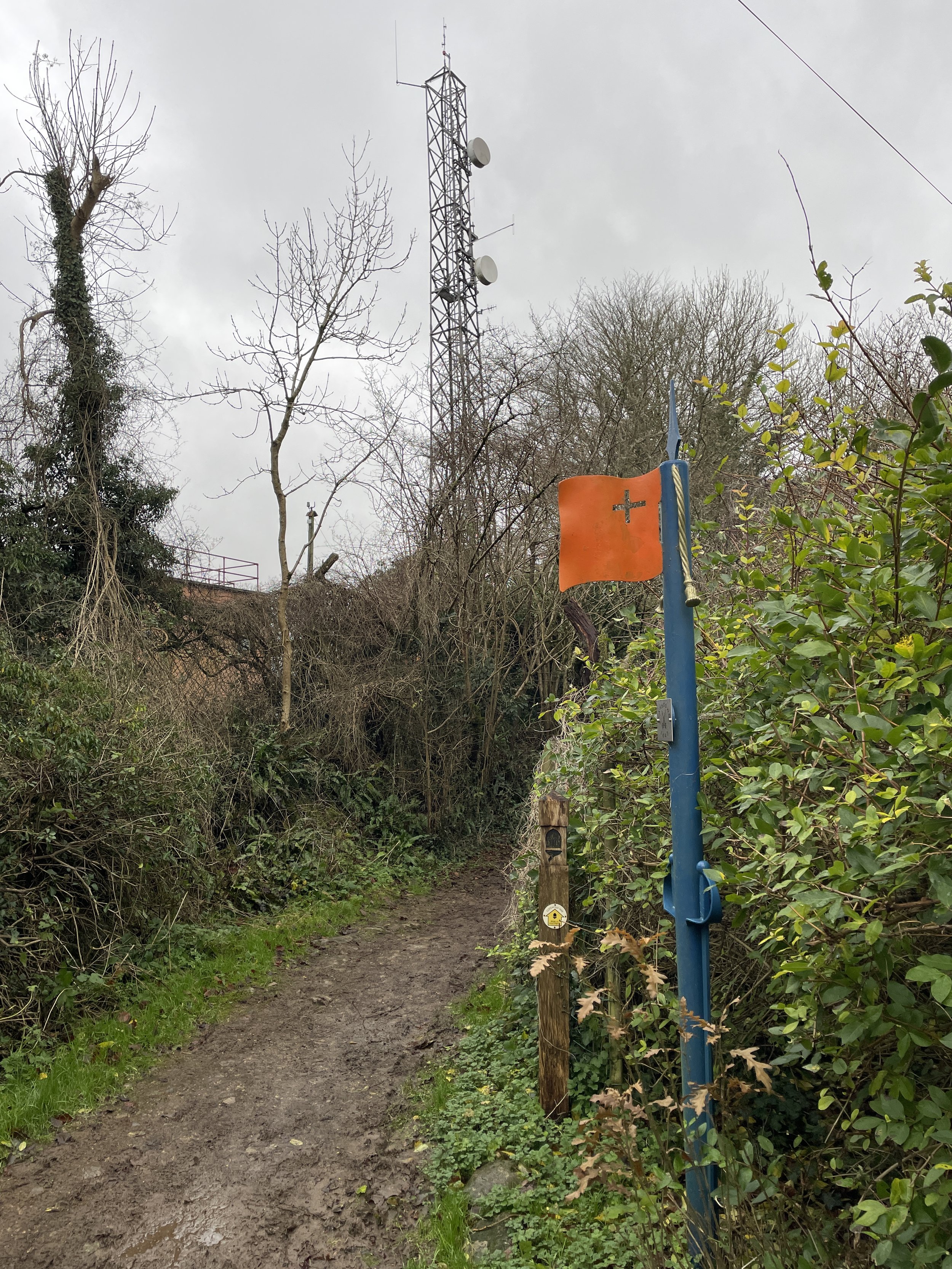
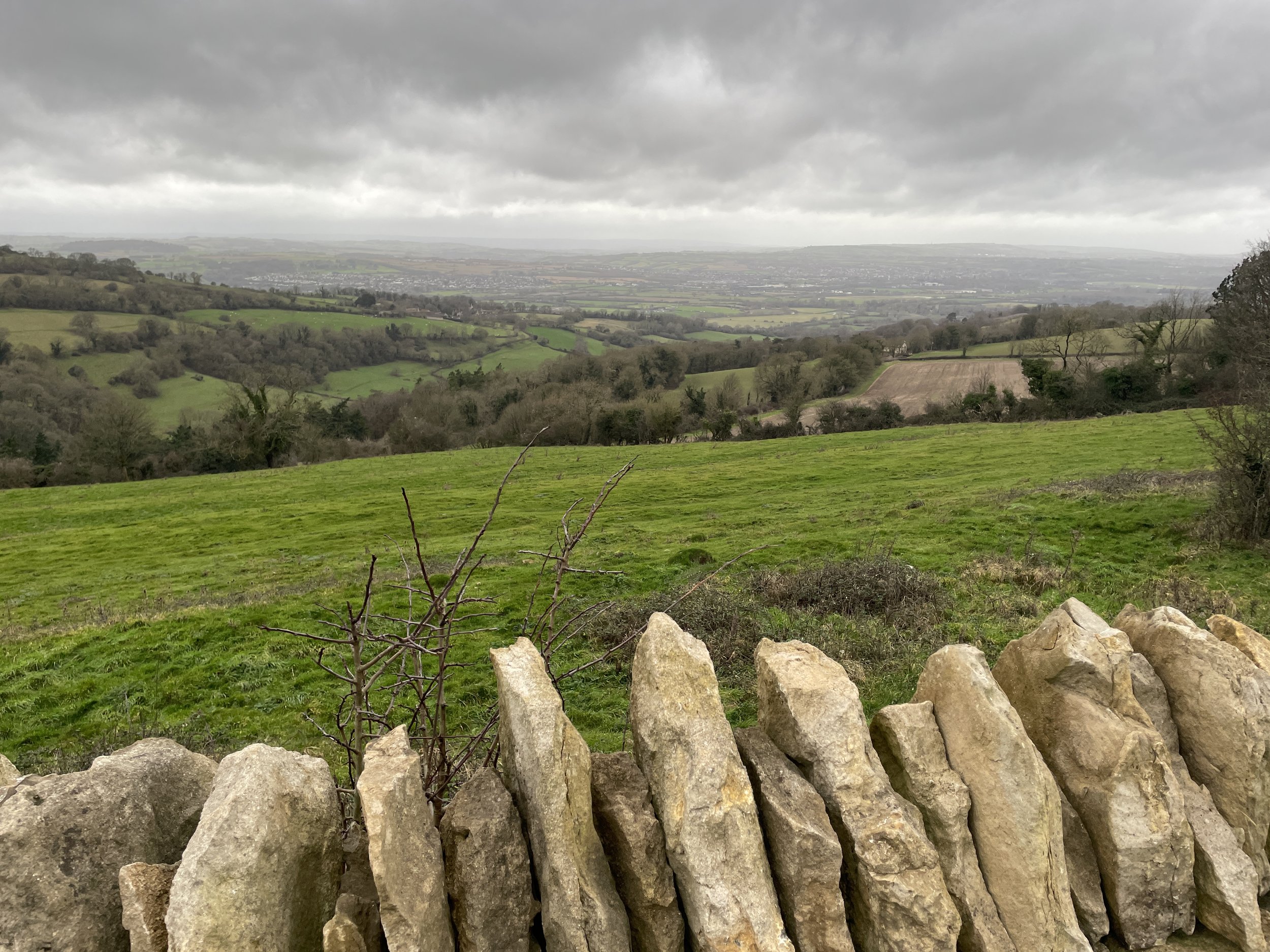
From the parking space follow the Cotswolds Way in a westerly direction along Beeches Cottages Road to the Avon Fire and Rescue Centre. The actual highpoint is in the grounds of the Fire and Rescue Centre, presumably under the large transmitter. The Centre was closed when I was there but you can get very close to it as the Cotswolds Way runs along side the perimeter fence.
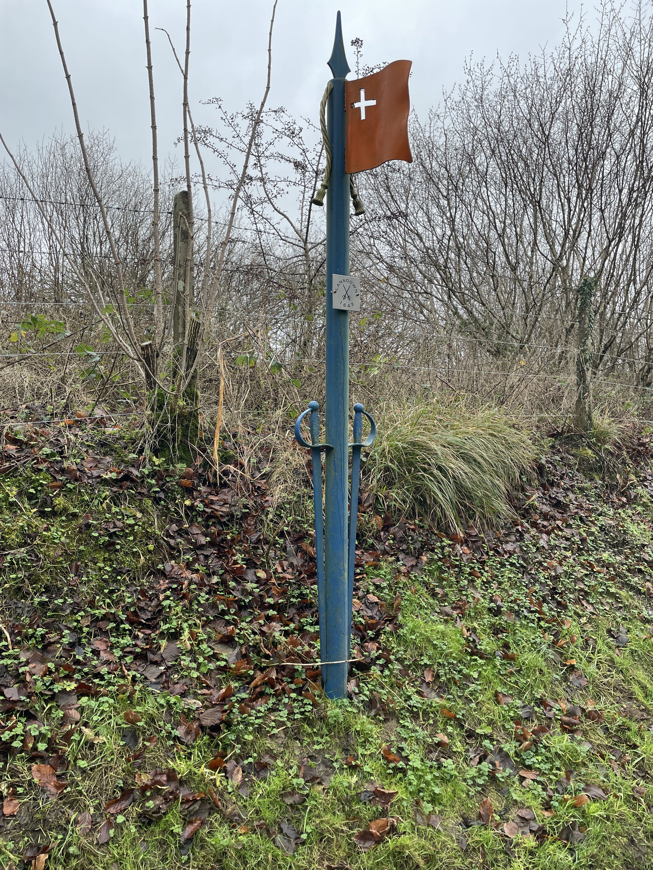
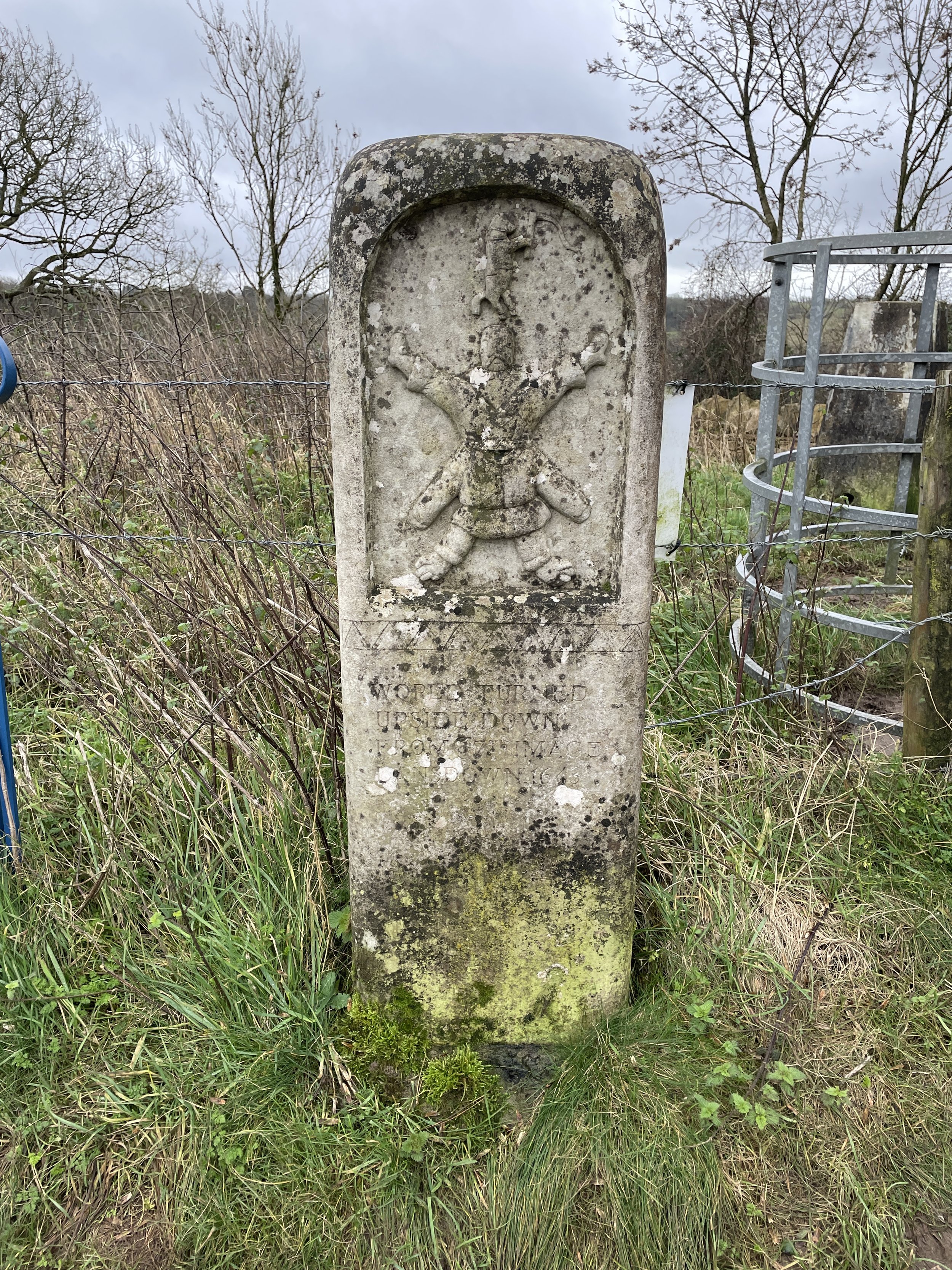
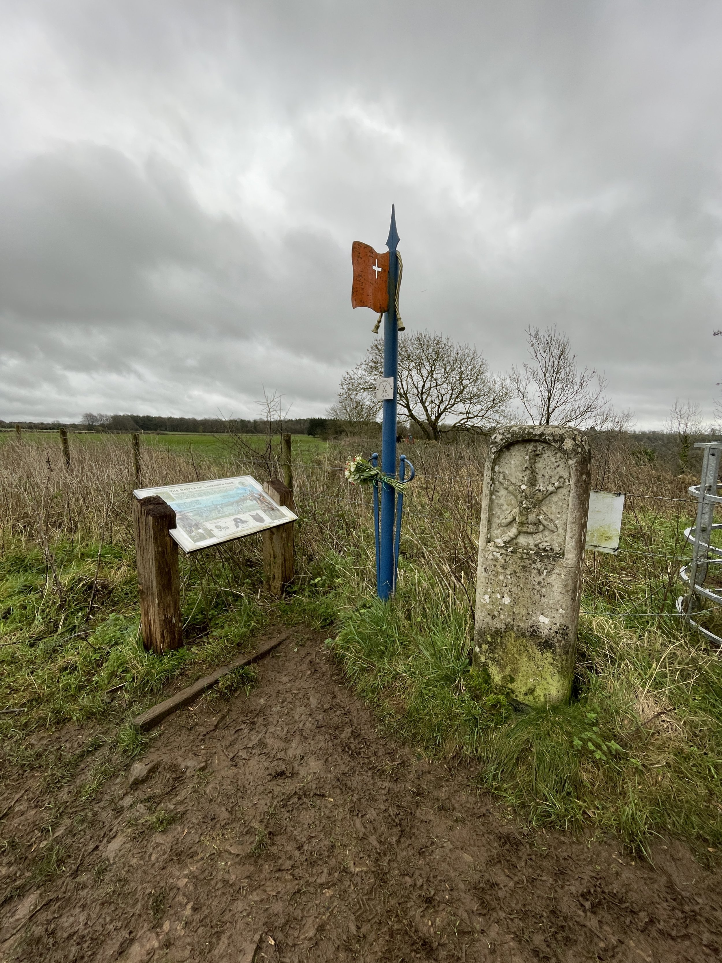
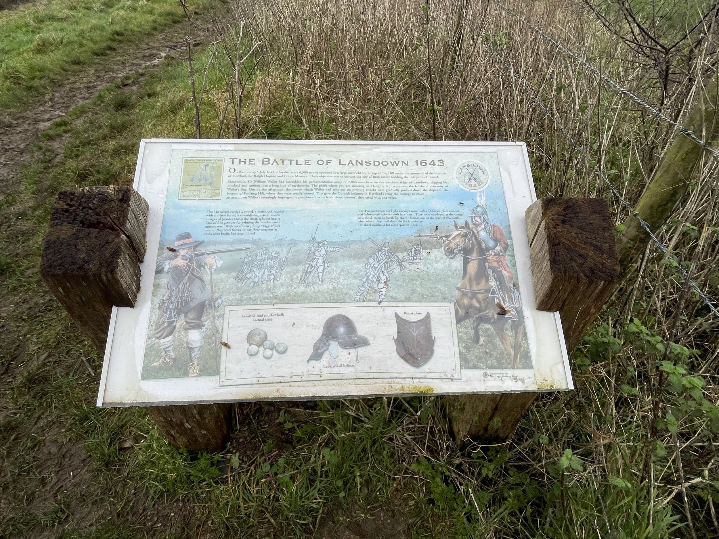
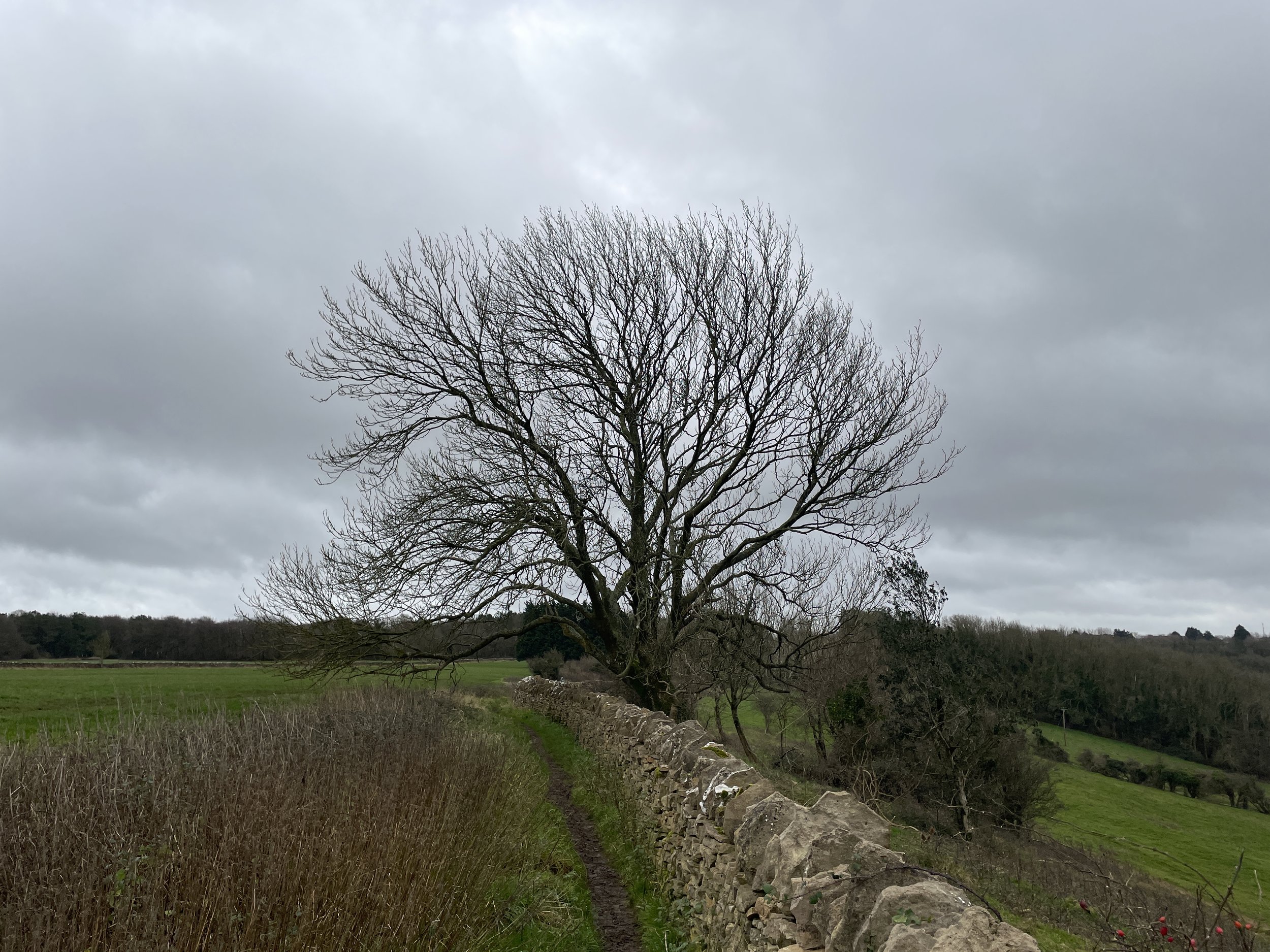
Continue along the Cotswolds Way for another 500m to reach the Hanging Hill Trig Pillar. Along the way you’ll pass flags and information boards marking the site of the Battle of Lansdowne in 1643. After the Trig Pillar continue along the Cotswolds Way as it takes a sharp turn to the left now heading in a south/south-easterly direction. After another 500m you’ll reach the end of the field and the edge of some woods where you can leave the Cotswolds Way following a path through the woods back towards the main road. Take the path that cuts diagonally across the field heading north back to the parking area.


