Wills Neck: Quantock Hills High Point

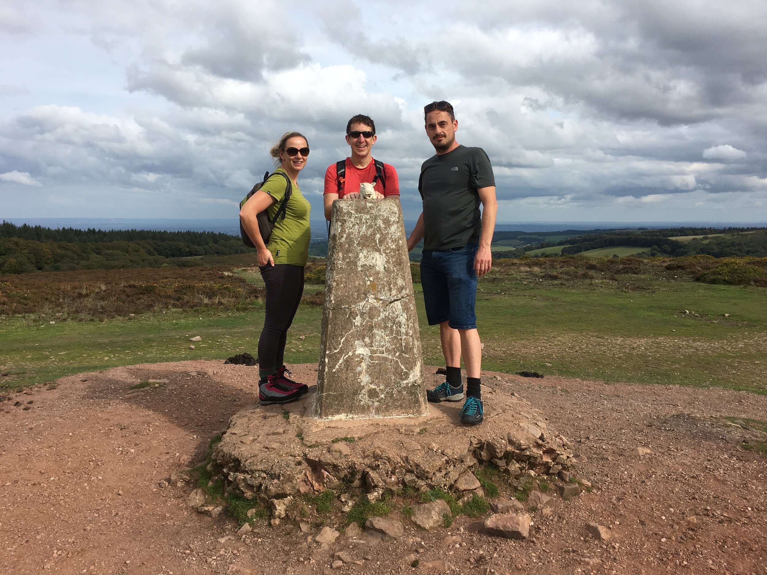
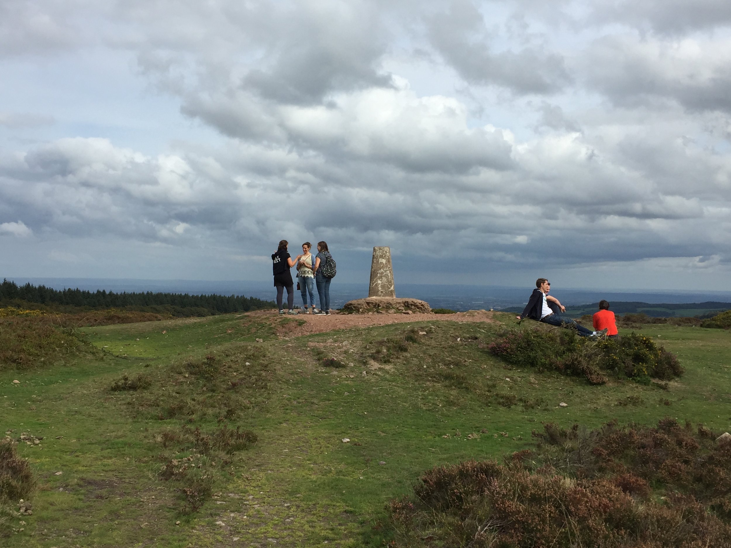
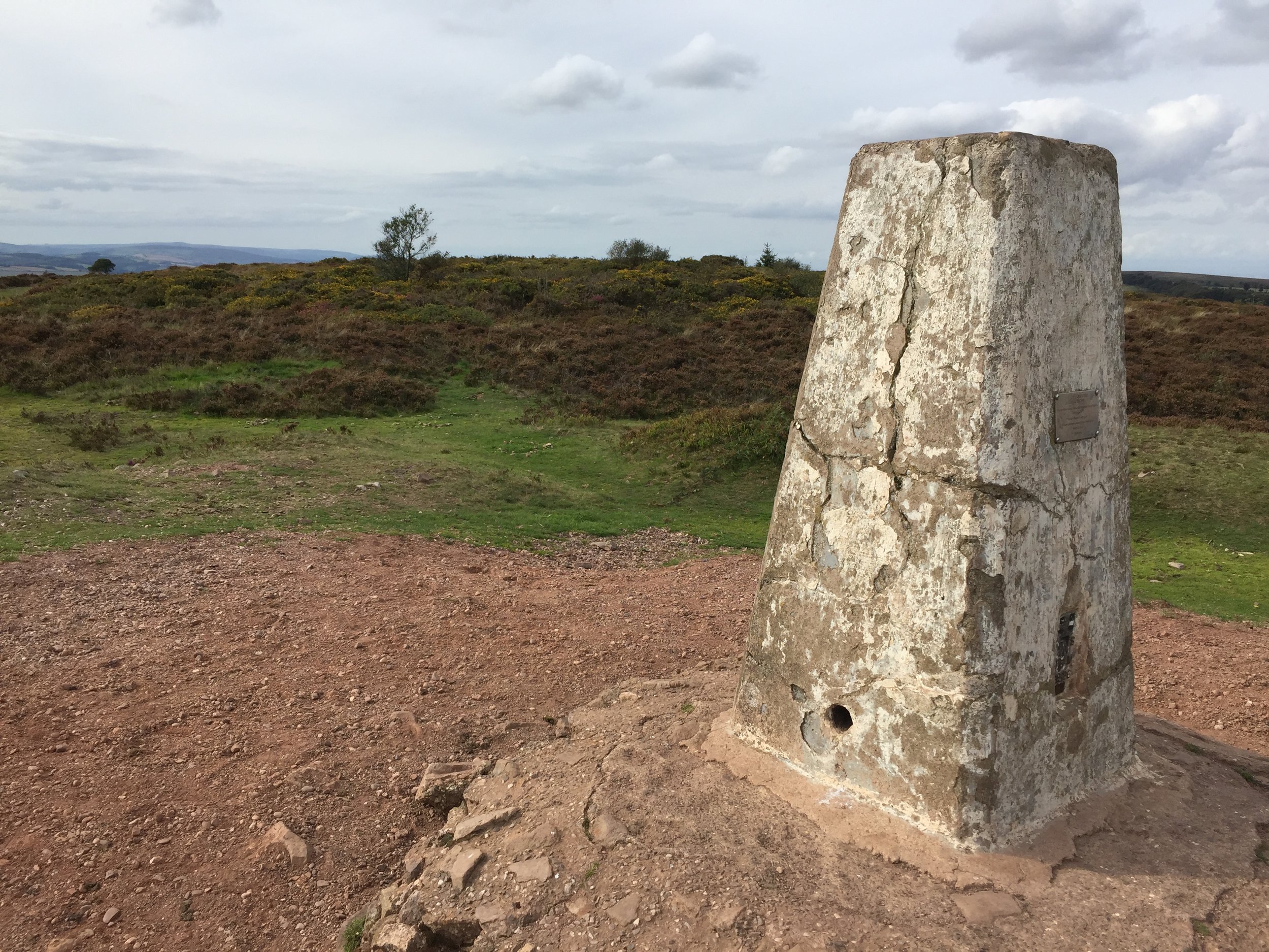
Wills Neck Trig Pillar
Significance: Quantock Hills National Landscape High Point
Member of: Marilyn, Hardy
Parent Peak: Dunkery Beacon
Nearest Higher Neighbour: Lype Hill
Elevation: 386m
Date climbed: September 15th 2018
Coordinates: 51.1096° N, 3.1937° W
Route Start / End: Out and back from the car-park next to the Forest Office on Cockercombe Road. Follow the track up to the T-junction, then its a ~4k circular walk taking in the high-point.
Route Distance: 8.5 km (5.3 miles)
Route Elevation Change: +/- 217m
Subsidiary tops on route: none
GPX File: get via Buy Me a Coffee
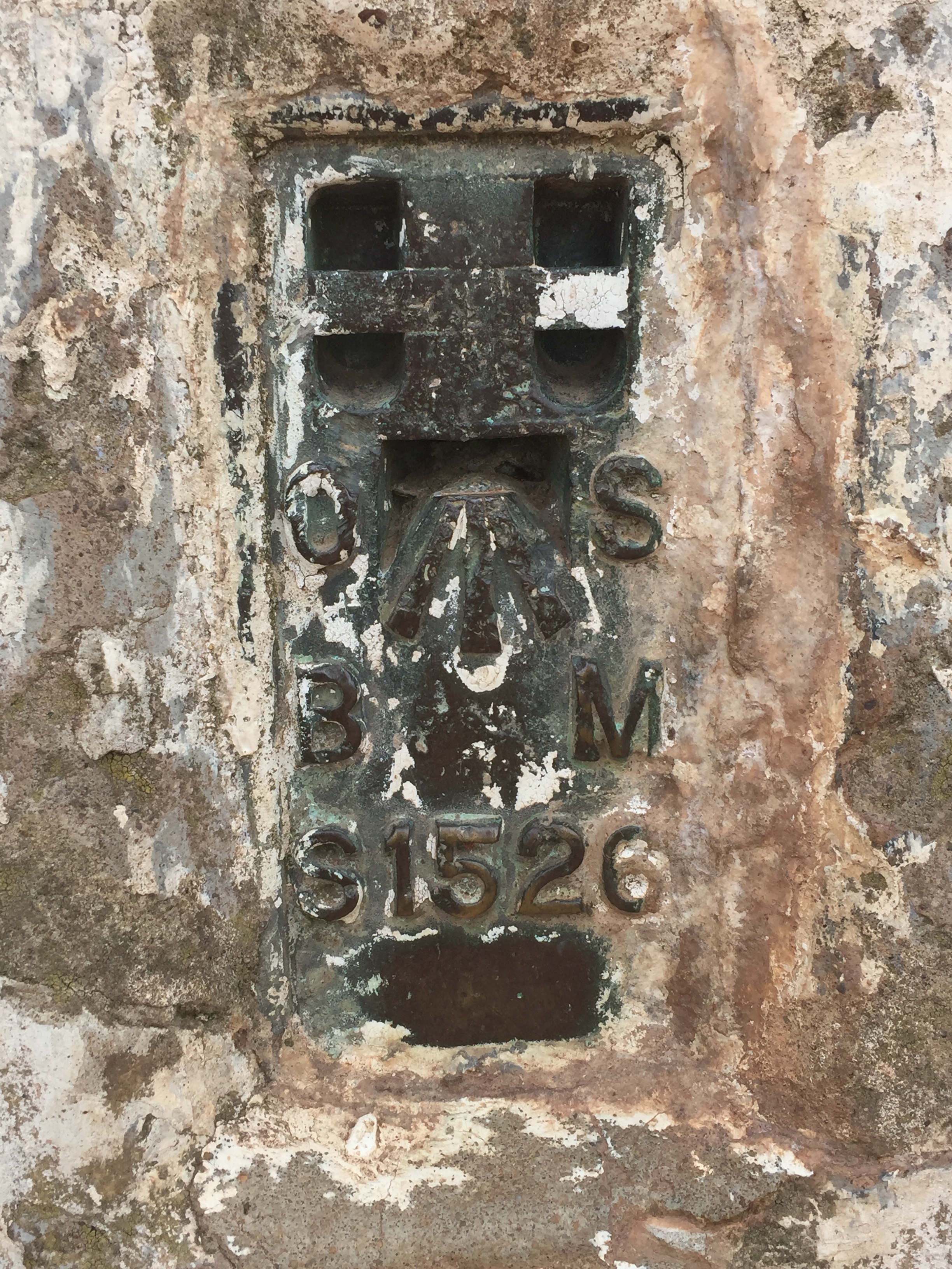
OS Trig Pillar: TP0733 - Bagborough
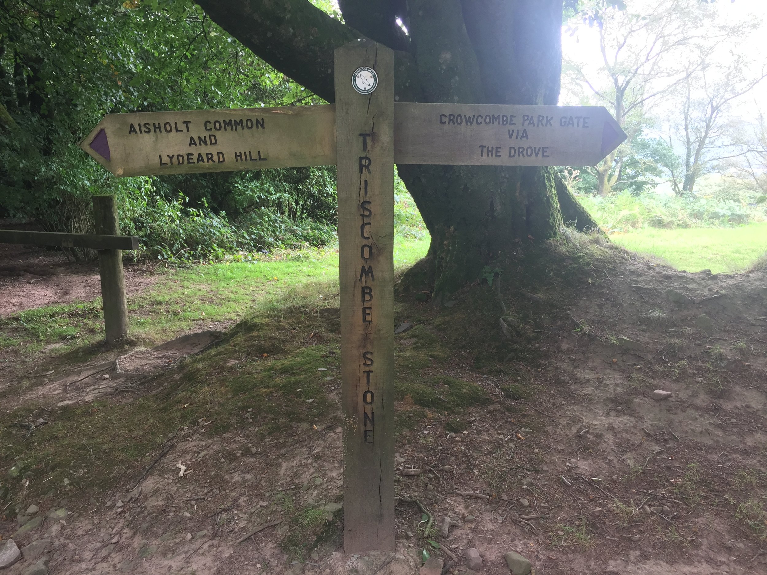
Other routes touched: Quantock Greenway
Map: OS Explorer Map (140) Quantock Hills and Bridgwater
Links: Wikipedia: (Will’s Neck / Quantocks), National Trust Quantock Hills, Peakbagger
Will's Neck stands as the highest point of the Quantock Hills, National Landscape (formerly AONB) in Somerset, England. The summit reaches an elevation of 384 meters above sea level, making it one of the most prominent landmarks in the region. Due to its significant topographical prominence, it qualifies as one of England's 'Marilyns', a term for hills with a relative height of at least 150 meters. The highest point is marked by a modern concrete trig pillar, which replaced a cairn originally constructed by schoolboys from Clifton College between 1922 and 1945.
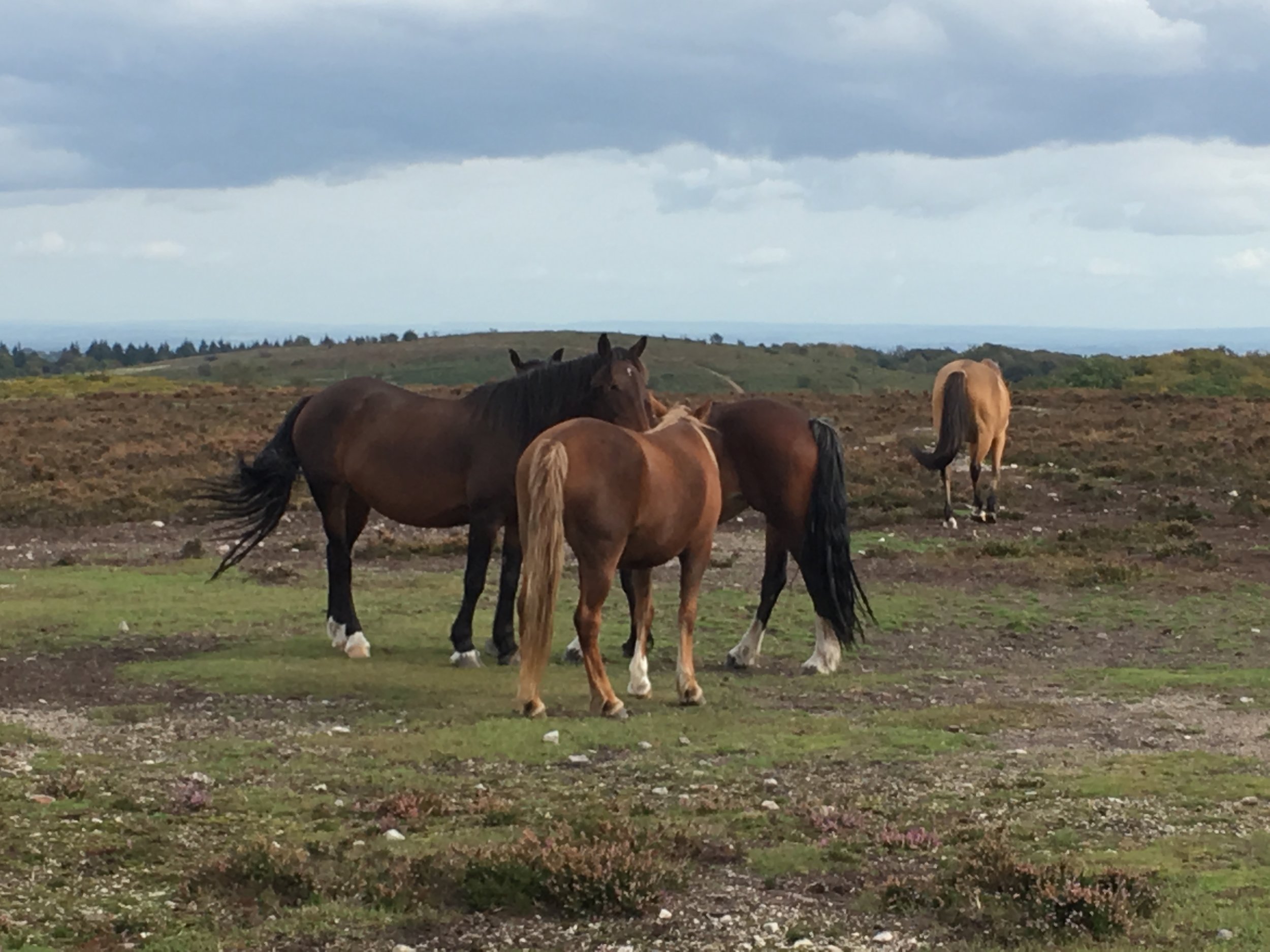
The hill’s name, "Wills Neck," is believed to be derived from the Old English word Wealas, meaning 'strangers,' 'foreigners,' or 'Welshmen,' suggesting the area was a historical border. It is formed from Devonian-period Hangman Grits, a type of sedimentary rock (sandstone and slate) laid down approximately 420 million years ago when the area was covered by a shallow sea. The geology and high, exposed position contribute to the open heathland environment of the summit, contrasting with the wooded combes and lower pastures of the surrounding Quantock Hills.
Timea and I bagged Wills Neck while visiting some friends that I had made on the High Peaks of The Balkans trip. It’s an area rich in hiking paths such as the Quantock Greenway plus other similar sized peaks. We’ll likely be back to explore more of the area, but this made a great first experience of the Quantocks.
The guidance below will help you navigate but don’t use it as a fully accurate turn-by-turn guide. Always take a map and/or a GPX route and prepare well for the weather and terrain.
The walk starts at the Triscombe Lower Car park and Cockercombe Bottom lane in a south westerly direction following the course of the Cockercombe stream. At around 2.4 km you’ll reach a junction in the path. Take a right heading north to meet the Quantock Greenway and Cockercomeb Road. Take a left onto the road then a left onto The Drove. At ~100m down The Drove take a right onto a path that heads in a southerly direction to the Trig Pillar at the summit of Wills Neck.
After the Trig Pillar, continue along the track for ~190m then take a left to head north to the edge of the woodland. Take a right to follow the woodland edge for 500m then take a left to walk through the woods in a northerly direction. When you reach the clearing in the middle of the woods, head west to meet the junction of the path that you followed up Cockercombe Bottom. Take a right to retrace your steps back to the start