Chiltern Walks: Tring Park and Northfield

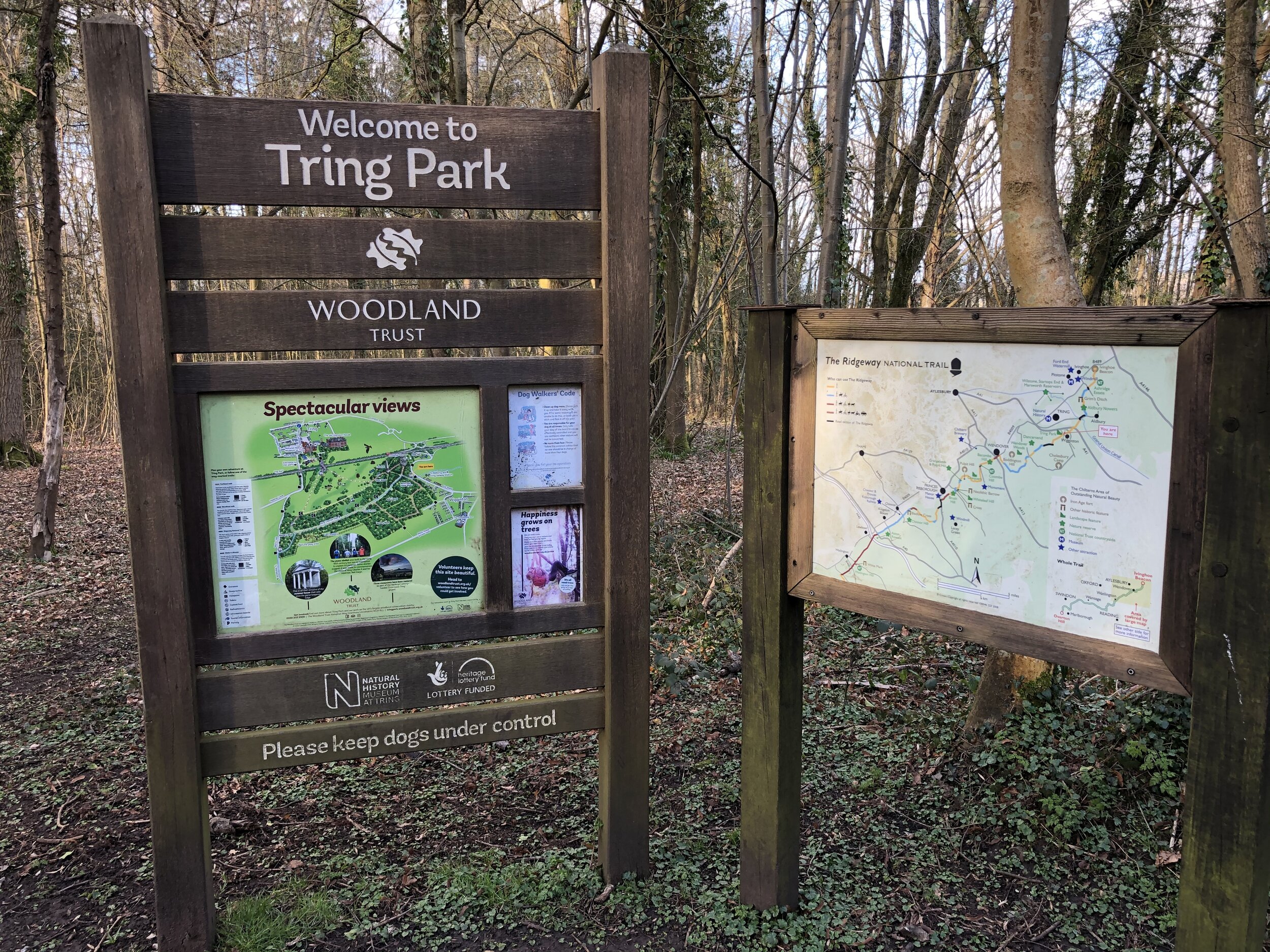
Tring Park
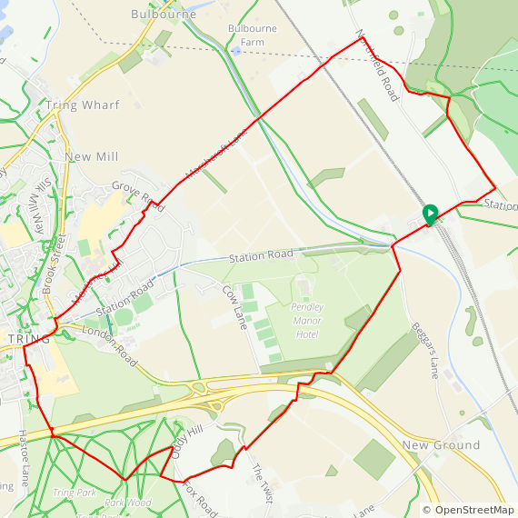
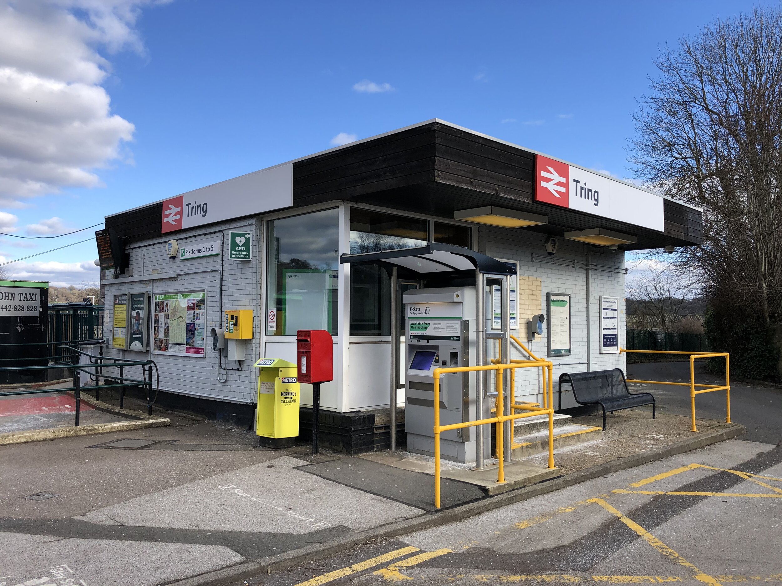
Start & Finish: Tring Station, Tring, HP23 5QS
Distance: 9.8 km (6.1 miles)
Elevation change: +/- 138m
GPX File: get via Buy Me a Coffee
Other routes touched (walk): The Ridgeway, Tring Park: Woodland Walk; Walter’s Wander; Parkland Walk, Grand Union Canal Towpath, Hertfordshire Way
Other routes touched (cycle): Tring Route 5
Pubs / Cafes on route: Several in Tring Town Centre
Map: OS Explorer Map (181) Chiltern Hills North
Links: Tring, Tring Park, Tring Natural History Museum, Tring Station, Ashridge National Trust, Dunsley Farm Trig Pillar
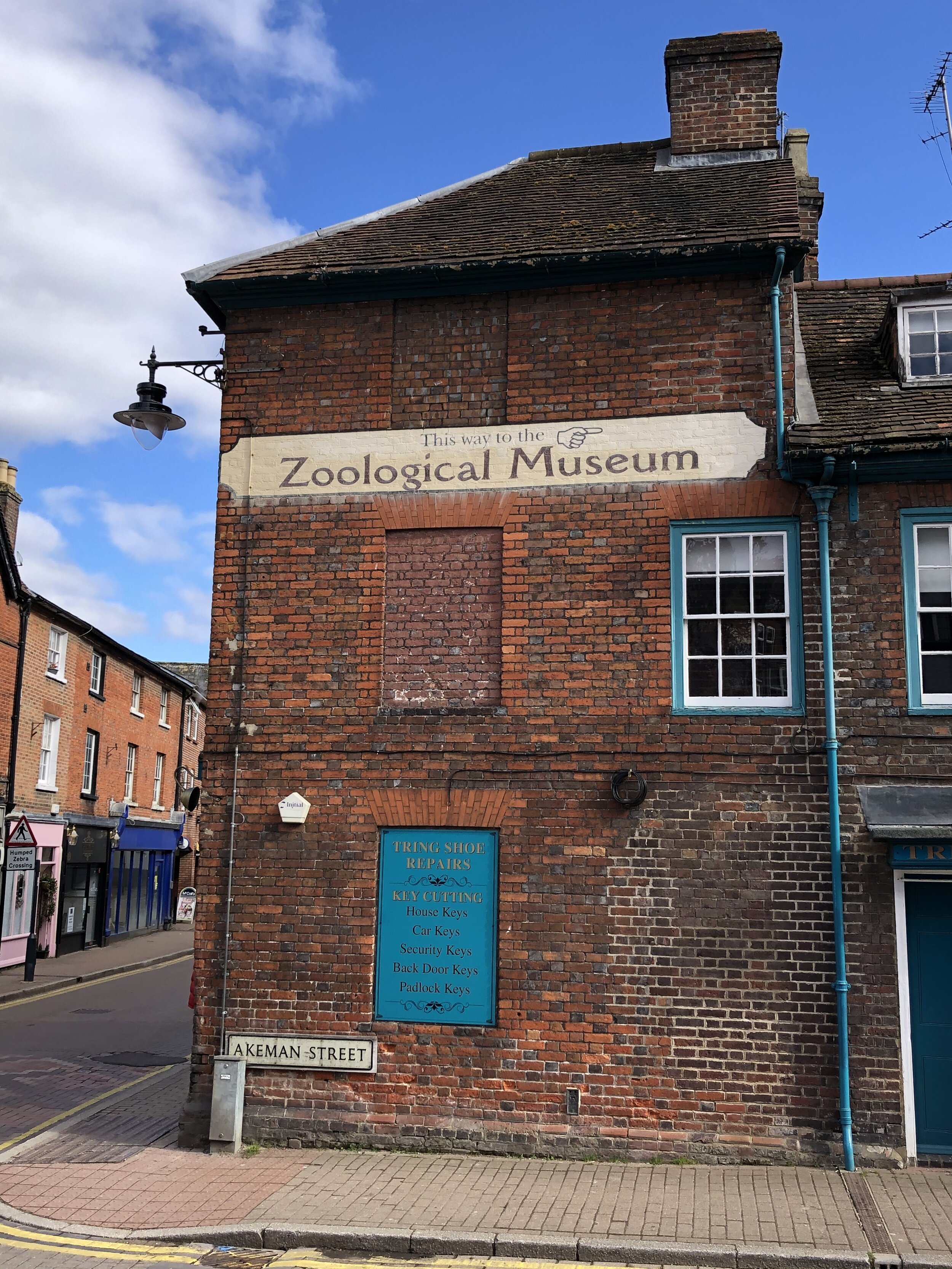
For the latest of our Chiltern Rail based walks we visited Tring. As a stop on the Grand Union Canal and at the heart of several cycle and walking routes, it’s a place that’s featured in several of my trips. The guidance below will help you navigate but don’t use it as a fully accurate turn-by-turn guide. Always take a map and/or a GPX route and prepare well for the weather and terrain.
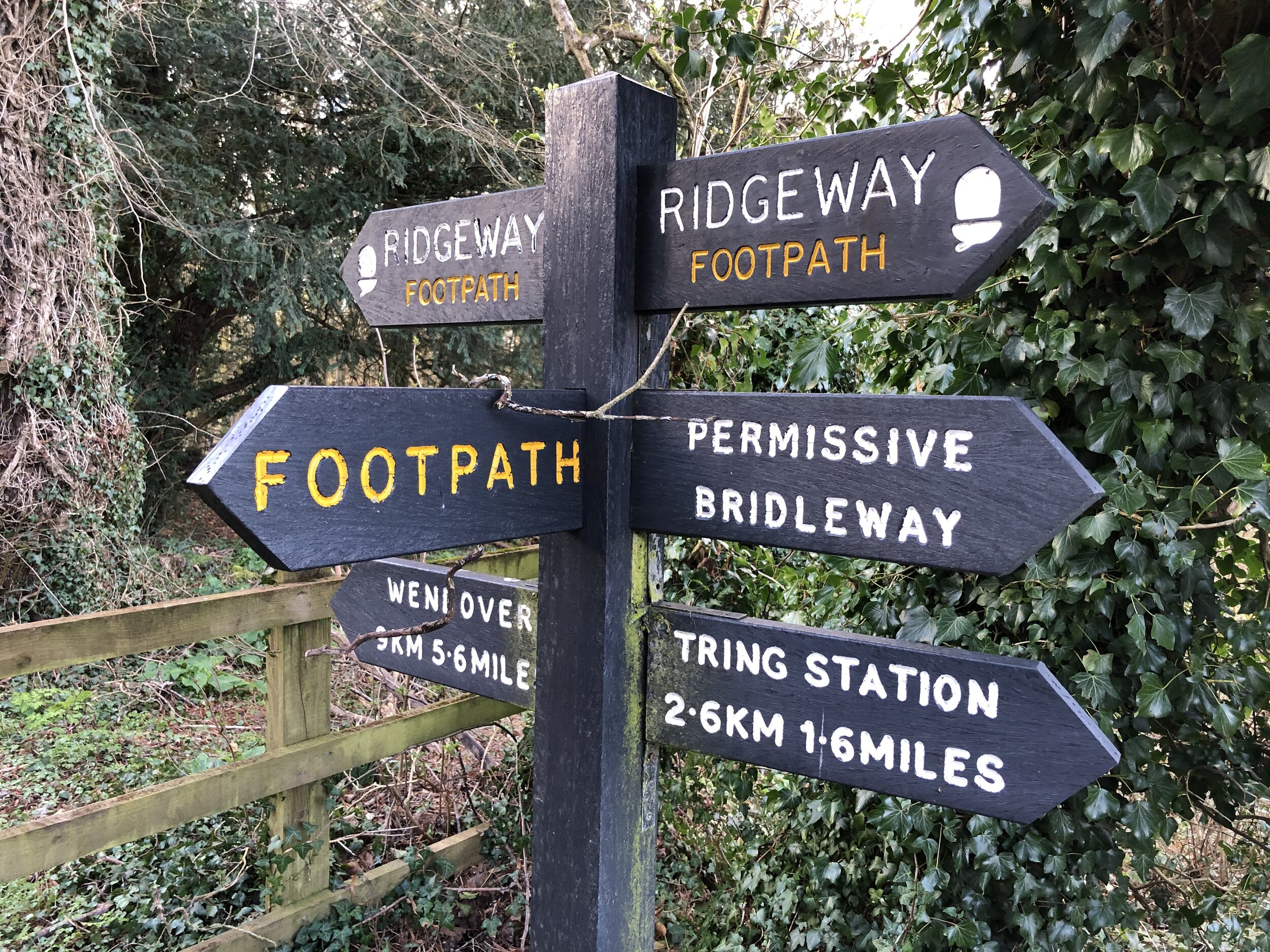
The first section of the trip follows the Ridgway for 2.5 km from Tring Station to Tring Park. As soon as you reach Tring Park, leave the Ridgeway and follow the Woodland Walk down through the park to the footbridge that crosses the A41. Cross the A41 and continue north to Tring High Street. Take a right, following the High Street to the roundabout. Take a left onto the B488 Brook Street, then first right onto Mortimer Hill. Continue for 0.5 km then take a left hand footpath between houses shortly after the school. Take a right onto Carrington Place, continue onto Chiltern Way (road). Follow Chiltern Way, through footpaths between houses via Sulgrave Crescent and onto Grove Road. Take a right onto Grove Road then first left onto Marshcroft Lane.
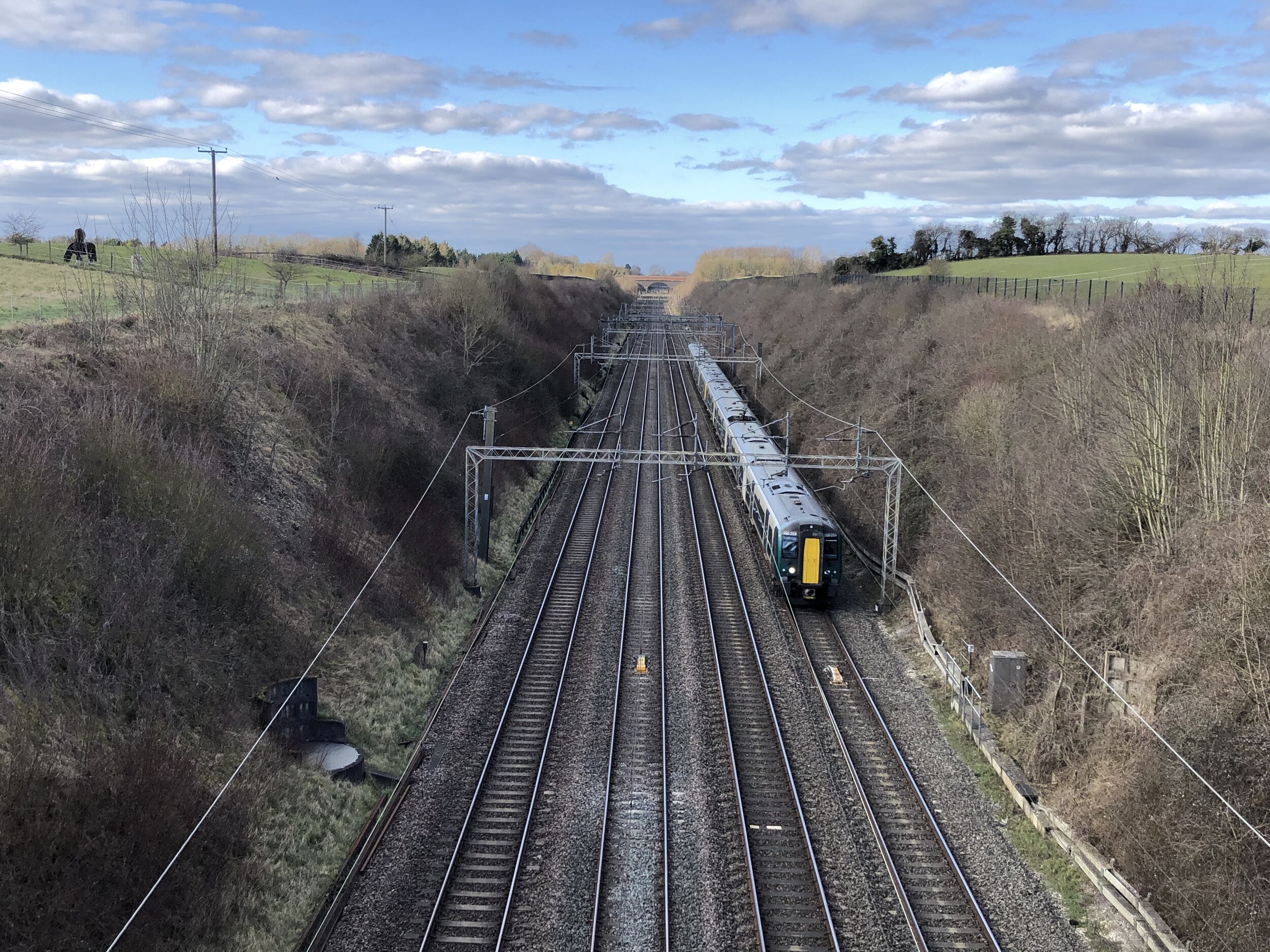
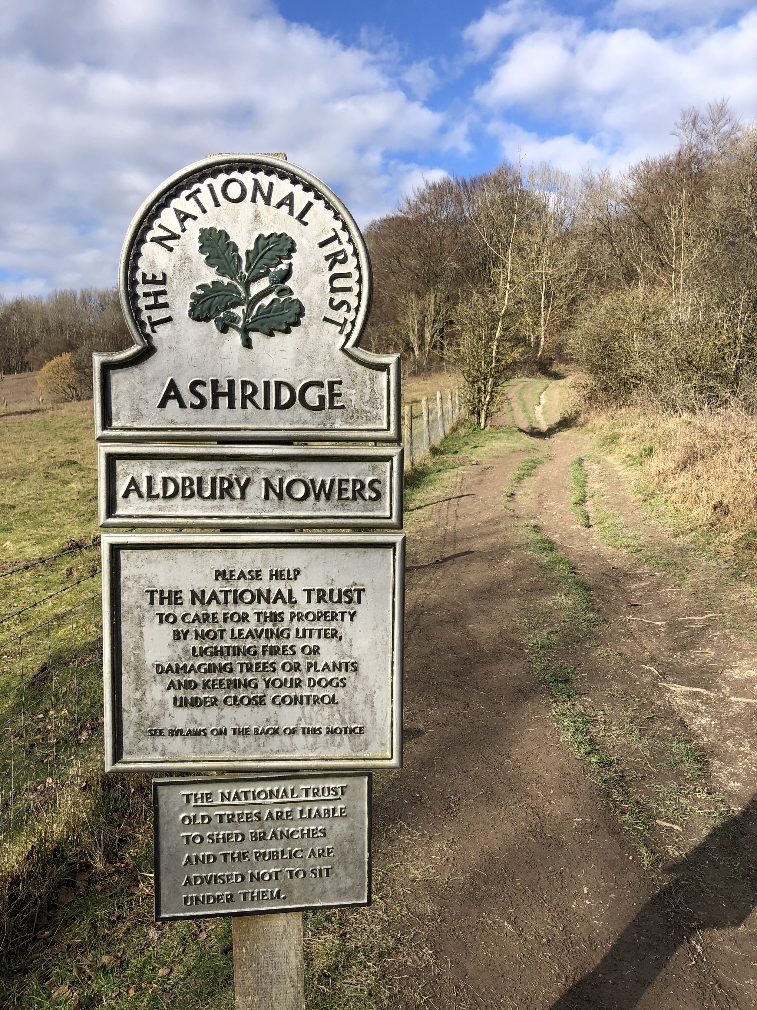
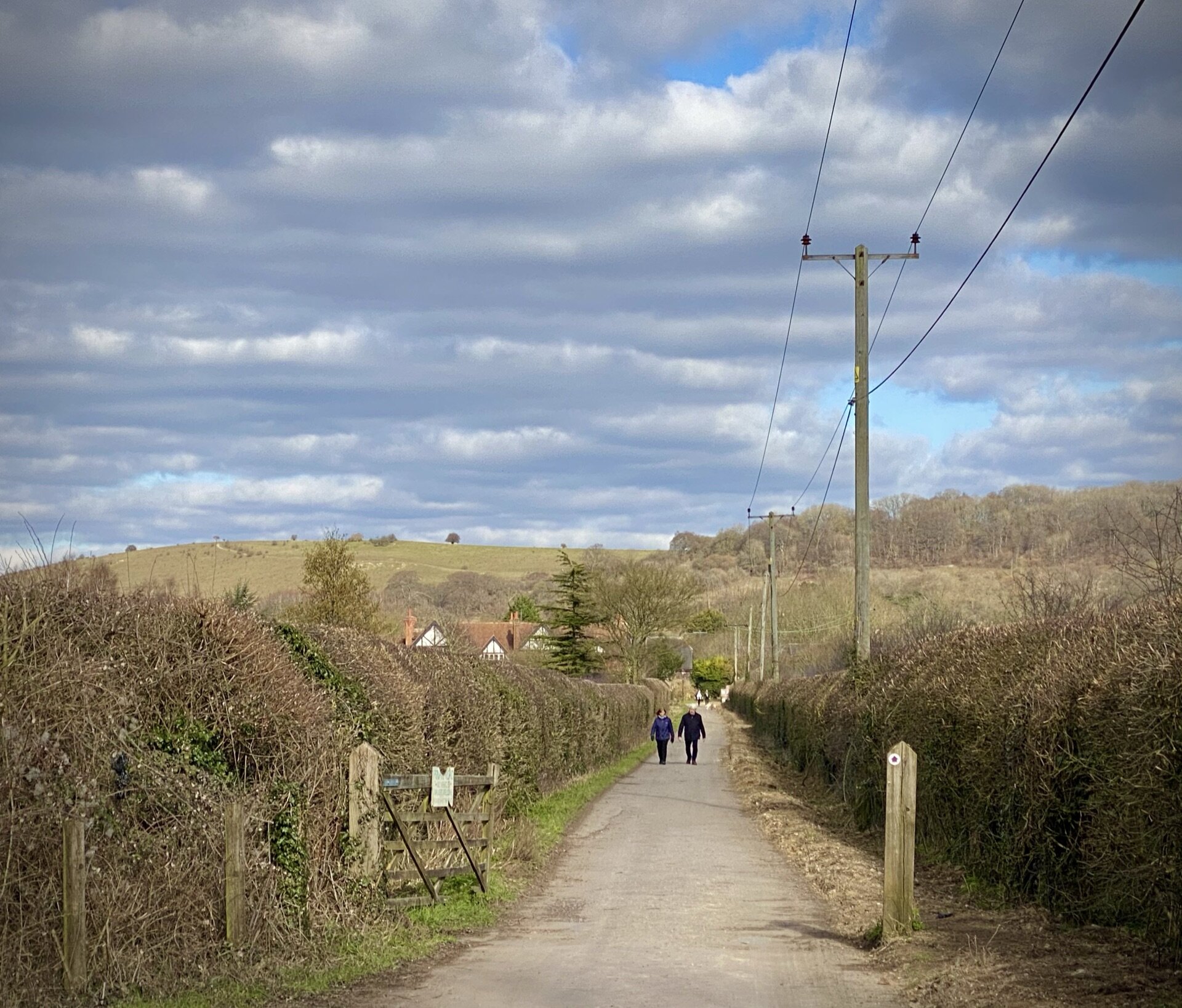
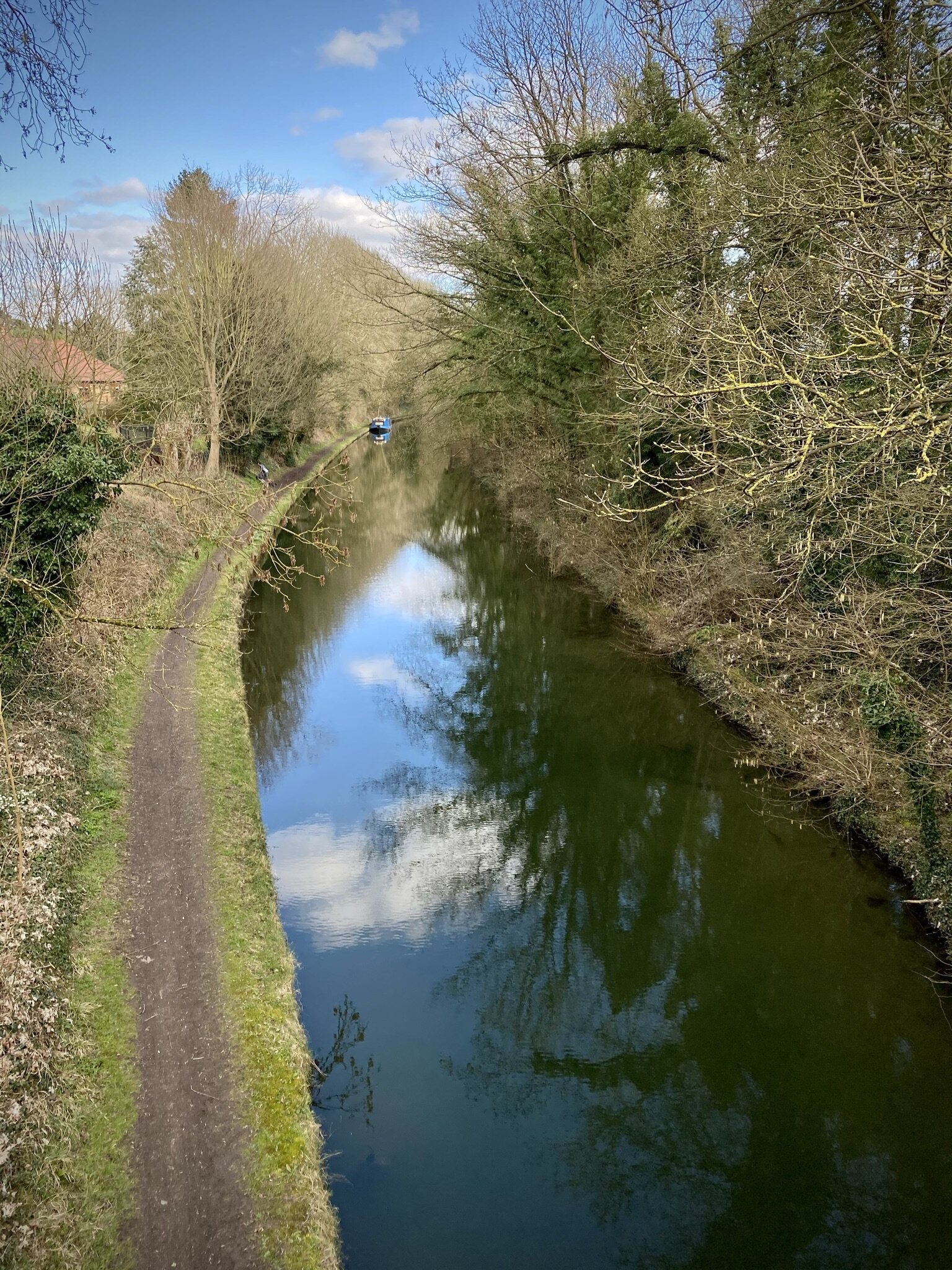
Following Marshcroft Lane takes you out of town and into the countryside. Soon you’ll pass over the Grand Union Canal and the railway line. After the railway line you’ll pass trough a farm and onto Northfield Road. Take a right onto the road, following it along the grass verge for ~150m before taking a footpath on the left. Follow this path into Aldbury Nowers woodland to connect with the Ridgeway. Take a right onto the Ridgeway, heading south east. Follow the Ridgway for 1 km to return to Tring Station.