Chiltern Walks: Risborough Railways Ramble

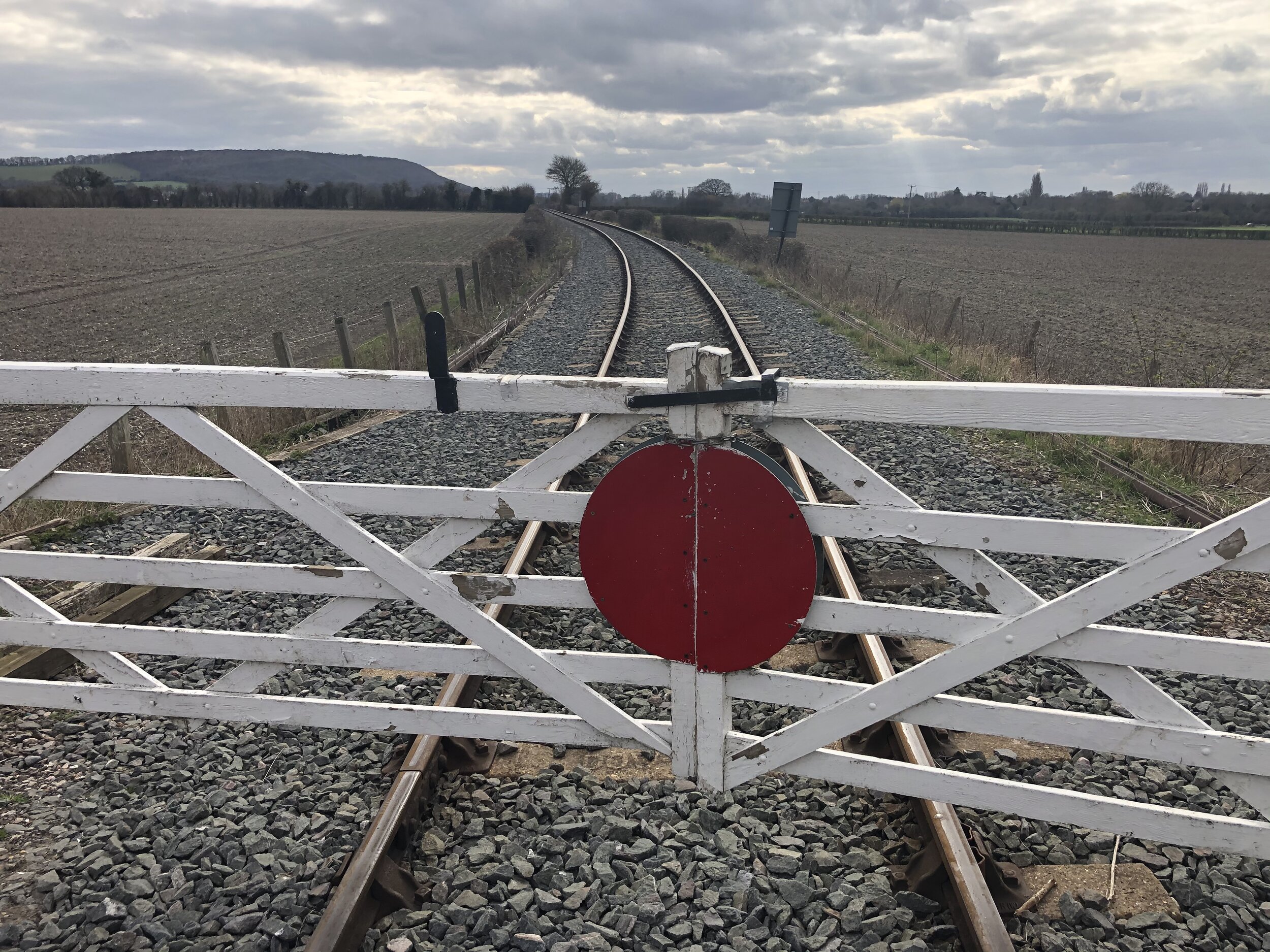
Level Crossing on the Chinnor and Princes Risborough Railway near the start of The Phoenix Trail
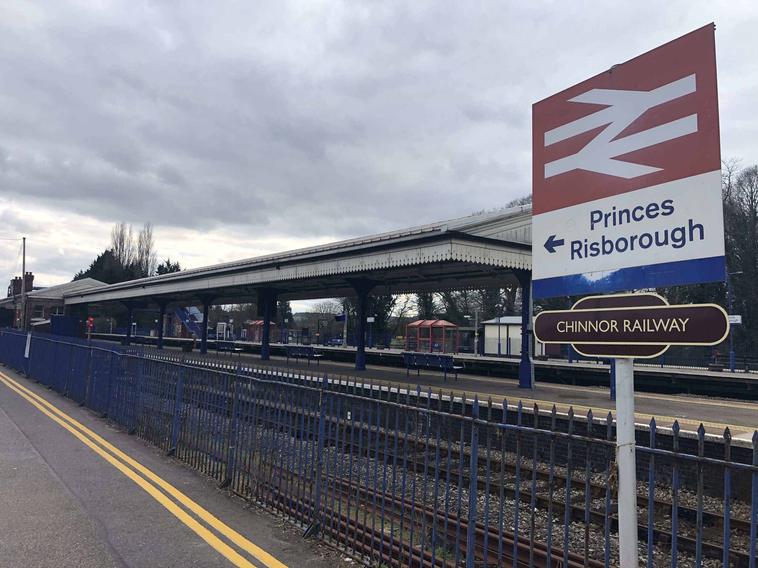
Start & Finish: Princes Risborough Station, Princes Risborough, HP27 9DD
Distance: 10.7 km (6.6 miles)
Elevation change: +/- 83m
GPX File: get via Buy Me a Coffee
Other routes touched (walk): Risborough Blue, Orange, Green and Pink Routes, Outer Aylesbury Ring, The Ridgeway, Chiltern Way
Other routes touched (cycle): NCN 57, Phoenix Trail, Chilterns Cycleway
Pubs / Cafes on route: Several in Princes Risborough High Street, including The Crepe Escape
Map: OS Explorer Map (181) Chiltern Hills North
Links: Princes Risborough, Princes Risborough Station, Watlington and Princes Risborough Railway, Chinnor and Princes Risborough Railway
For the latest in our Chiltern Railways circular walks we visited Princes Risborough. It’s a market town on the north edge of the Chilterns and a meeting point of current and disused railway lines. The guidance below will help you navigate but don’t use it as a fully accurate turn-by-turn guide. Always take a map and/or a GPX route and prepare well for the weather and terrain.
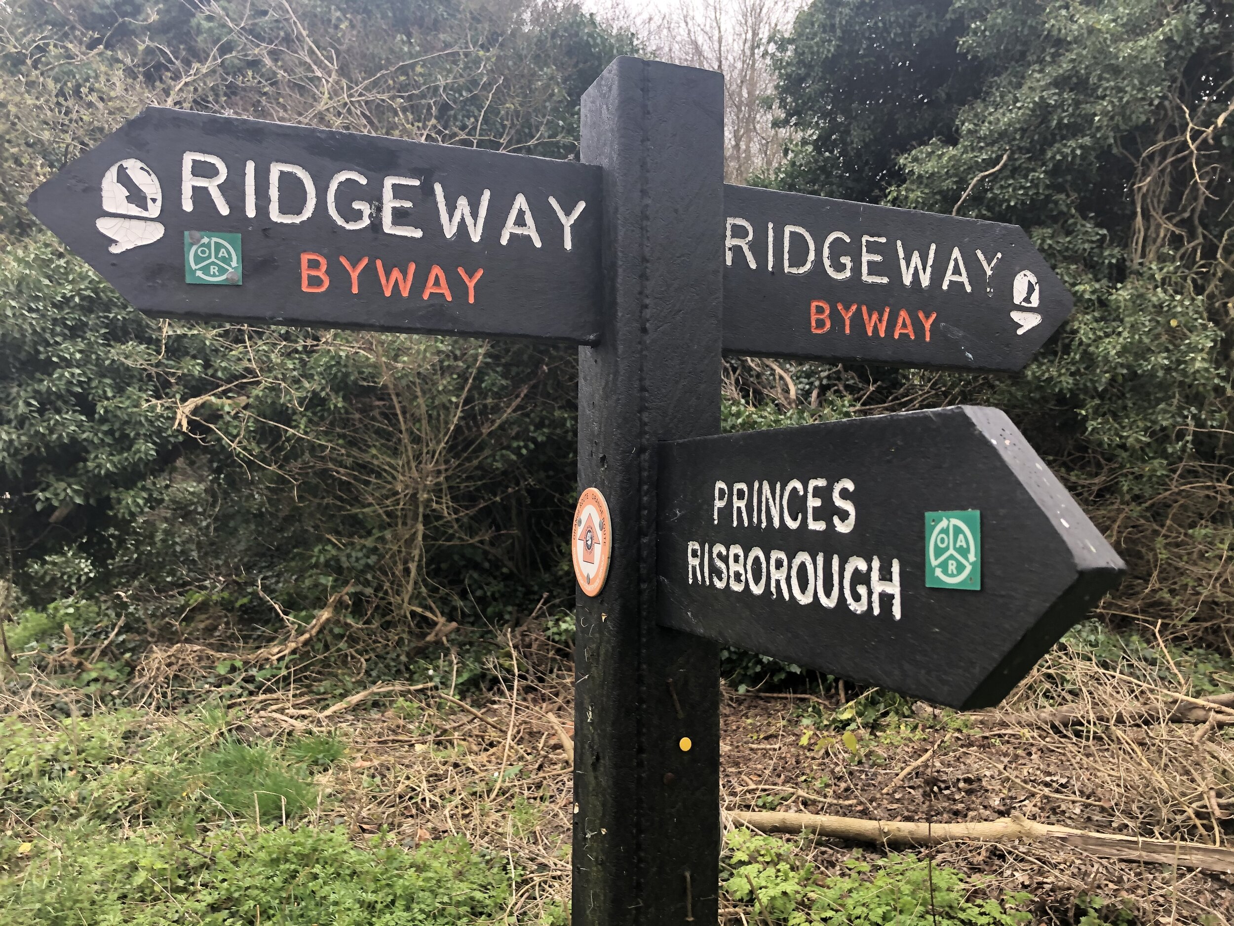
From the station take the B4444 Summerleys Road north, passing under 2 railway bridges. After the 2nd bridge, take a right onto a small road, also called Summerley’s Road (but leaving the B4444). Pass under another railway bridge then take a right onto Mount Way. Carefully cross over a level crossing and continue to the T junction with Stratton Road. Take a left onto Stratton Road, then onto Church Street and take a right at the end onto the High Street. You’ll now be on the Outer Aylesbury Ring. Follow this along the High Street, left onto the A4010, right onto New Road. Continue up New Road, climbing the hill until you get to the Ridgeway. Take a right onto the Ridgeway.
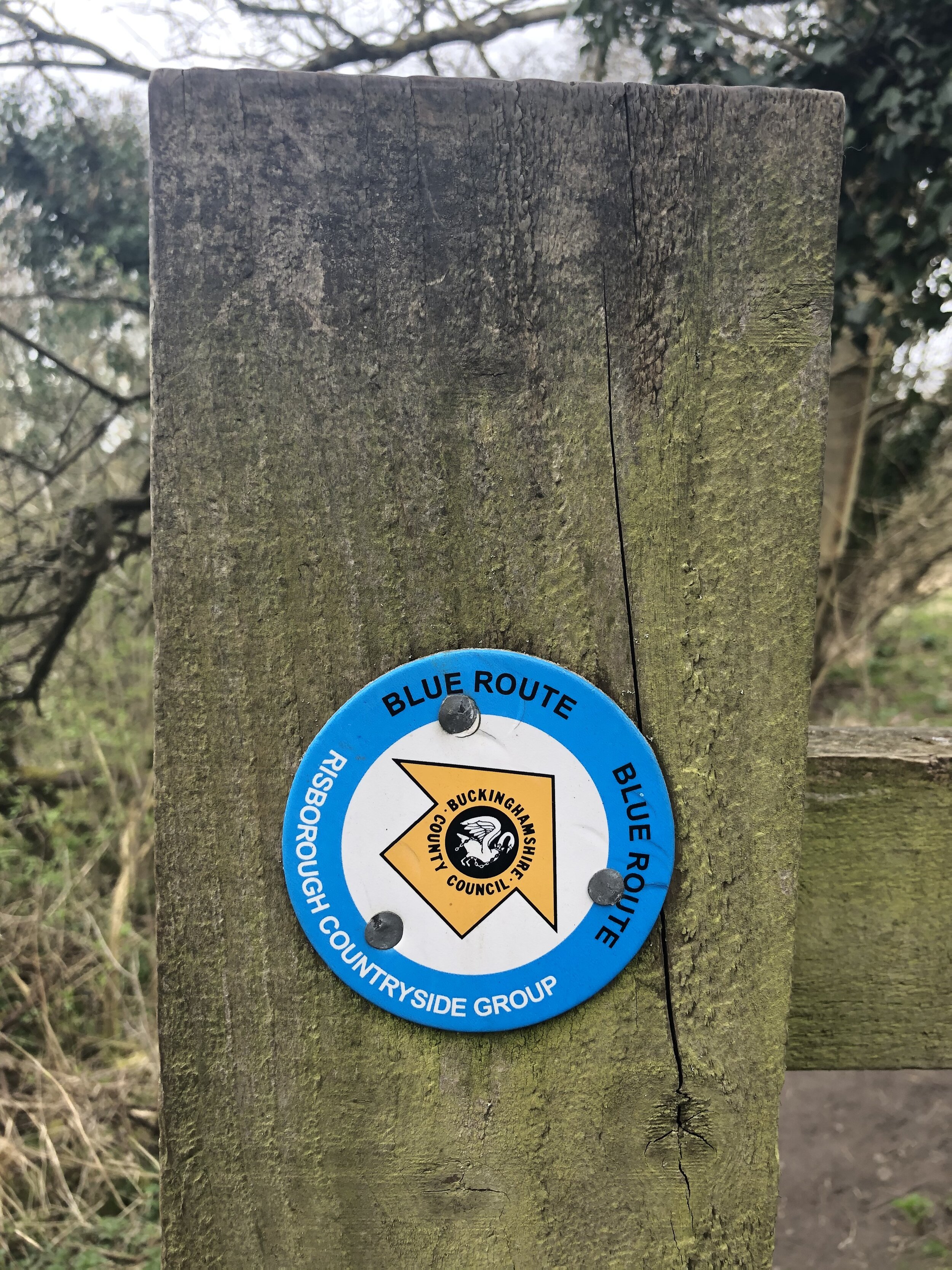
Follow the Ridgeway for ~2.5 km in a south-westerly direction. Be careful on the section that follows the A4010. There’s a wide pavement but it’s a very busy road and you’ll need to cross over it. At the end of this Ridgeway section you’ll join the Chiltern Way and cross over the railway. Take a right onto the Chiltern Way and follow this north. Cross over a level crossing again and continue north towards Horsenden. After the level crossing make sure you follow the Risborough Blue route and not the Chiltern way which takes a turn to the left.
When you get to Horsenden Lane, take a left and pass Horsenden Parish Church. Keep on Horsenden Lane as it turns right. You’ll now be on the Risborough Pink Route and NCN 57. Follow this in a north-westerly direction until you meet the B4009. Just before the main route you’ll have passed over a level crossing on the Chinnor and Princes Risborough Railway and then the start of the Phoenix Way.
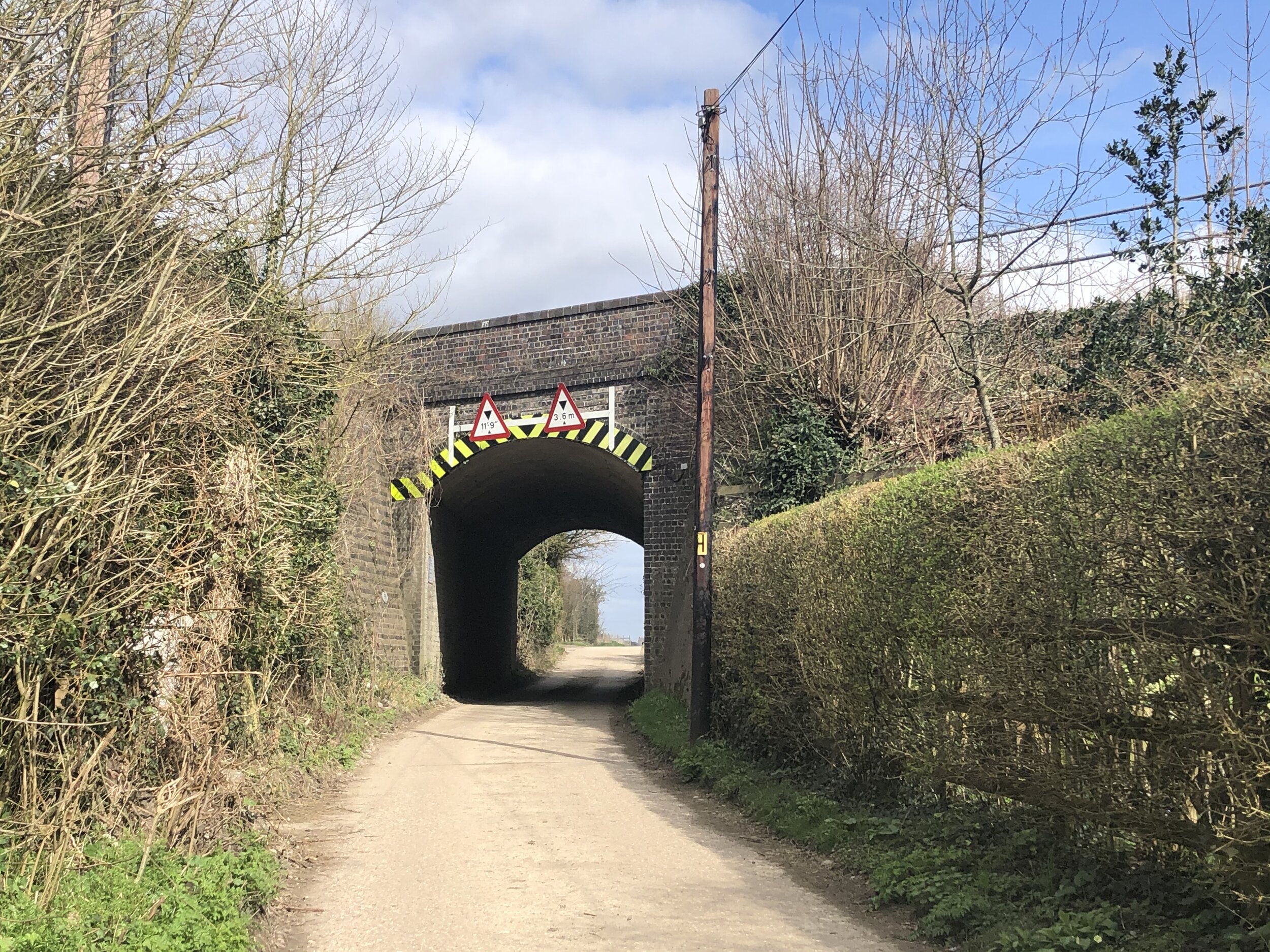
Take a right turn on the B4009, passing under the old railway bridge that’s now the start of the Phoenix Trail. Take a right hand footpath immediately after the bridge and follow the path parallel to the still abandoned rail line that connects the Phoenix Trail to Princes Risborough Station. The path will connect with Summerley’s Road where you can take a right and return back to the start.