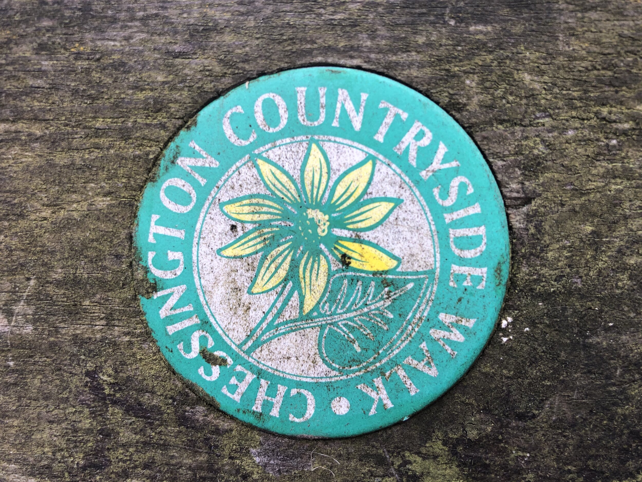
Chessington Countryside Walk

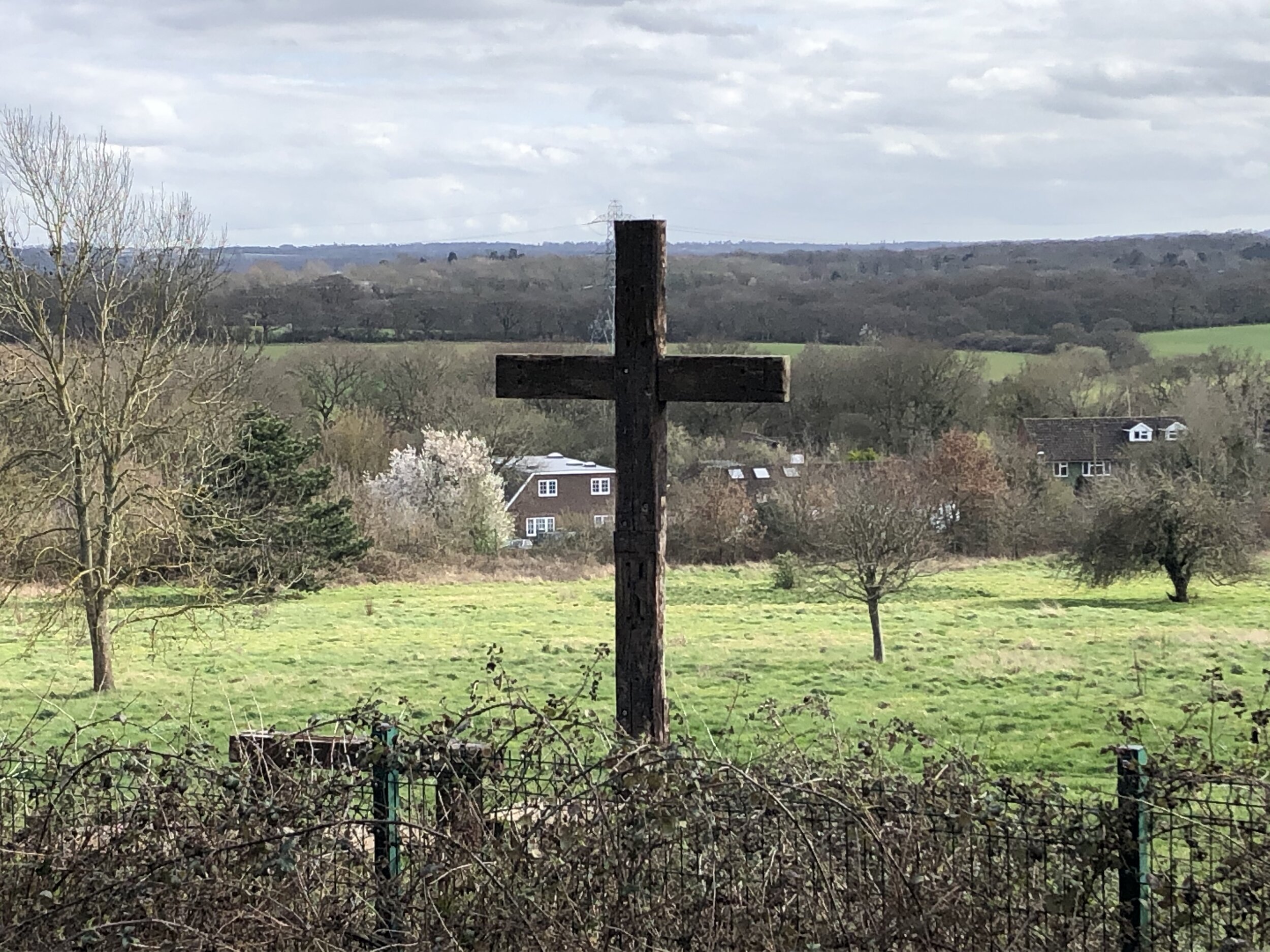
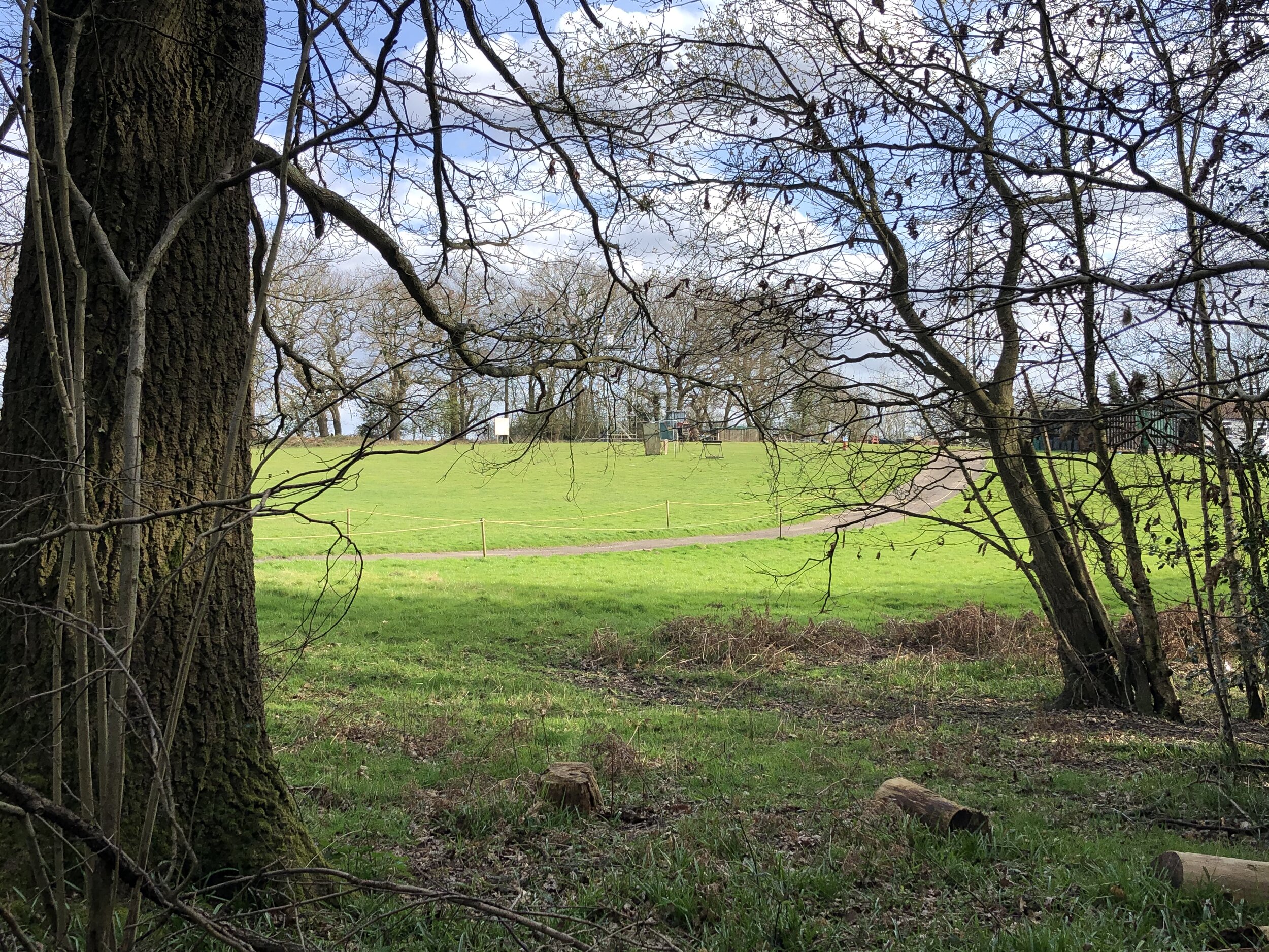
View to Rushett Farm airstrip from the Coal Post on the north edge of Ashtead Woods
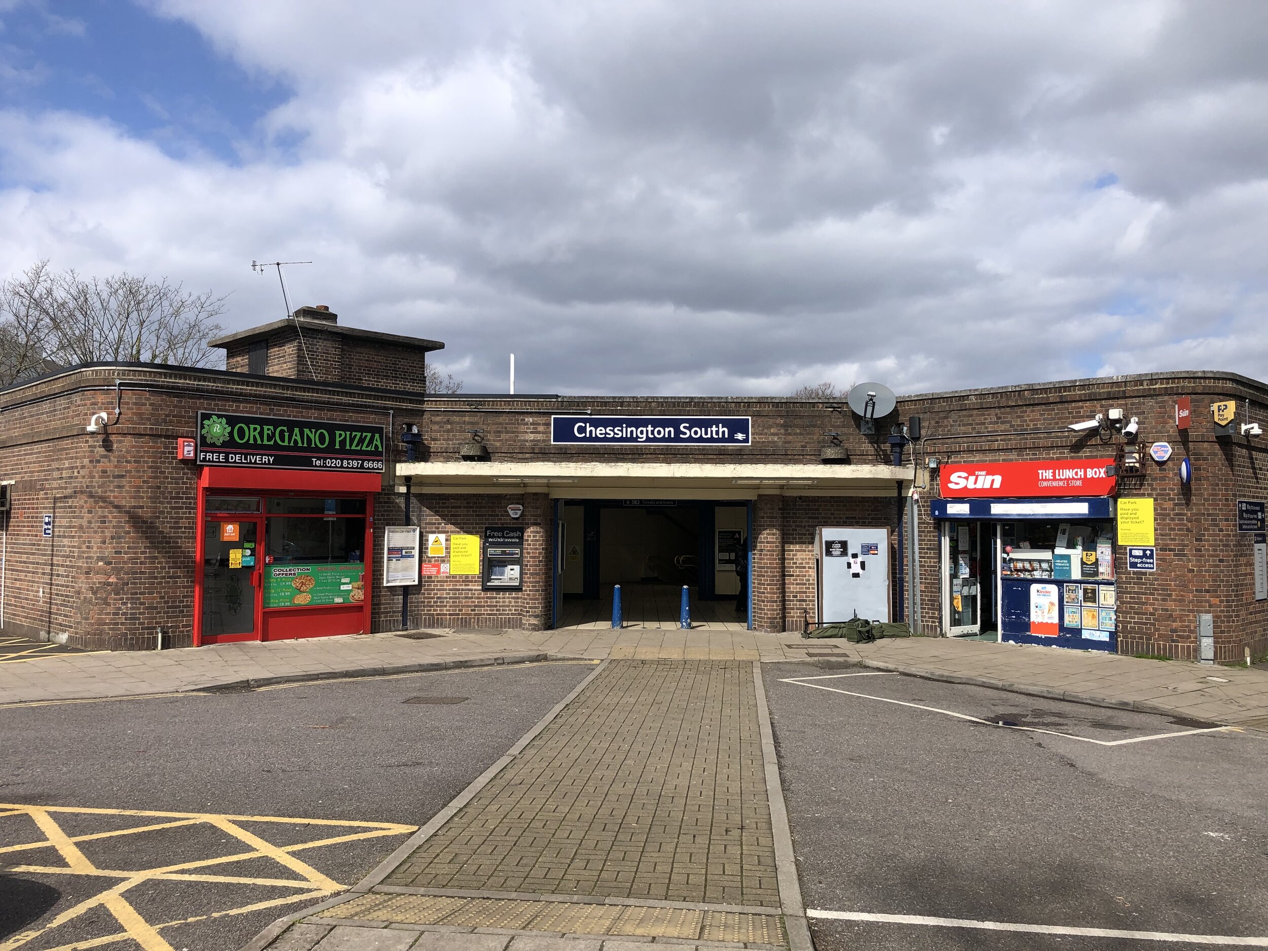
Start & Finish: Chessington South Station, Chessington, KT9 2JR
Distance: 9.1 km (5.6 miles)
Elevation change: +/- 92m
GPX File: get via Buy Me a Coffee
Other routes touched (walk): Thames Down Link
Other routes touched (cycle): N/A
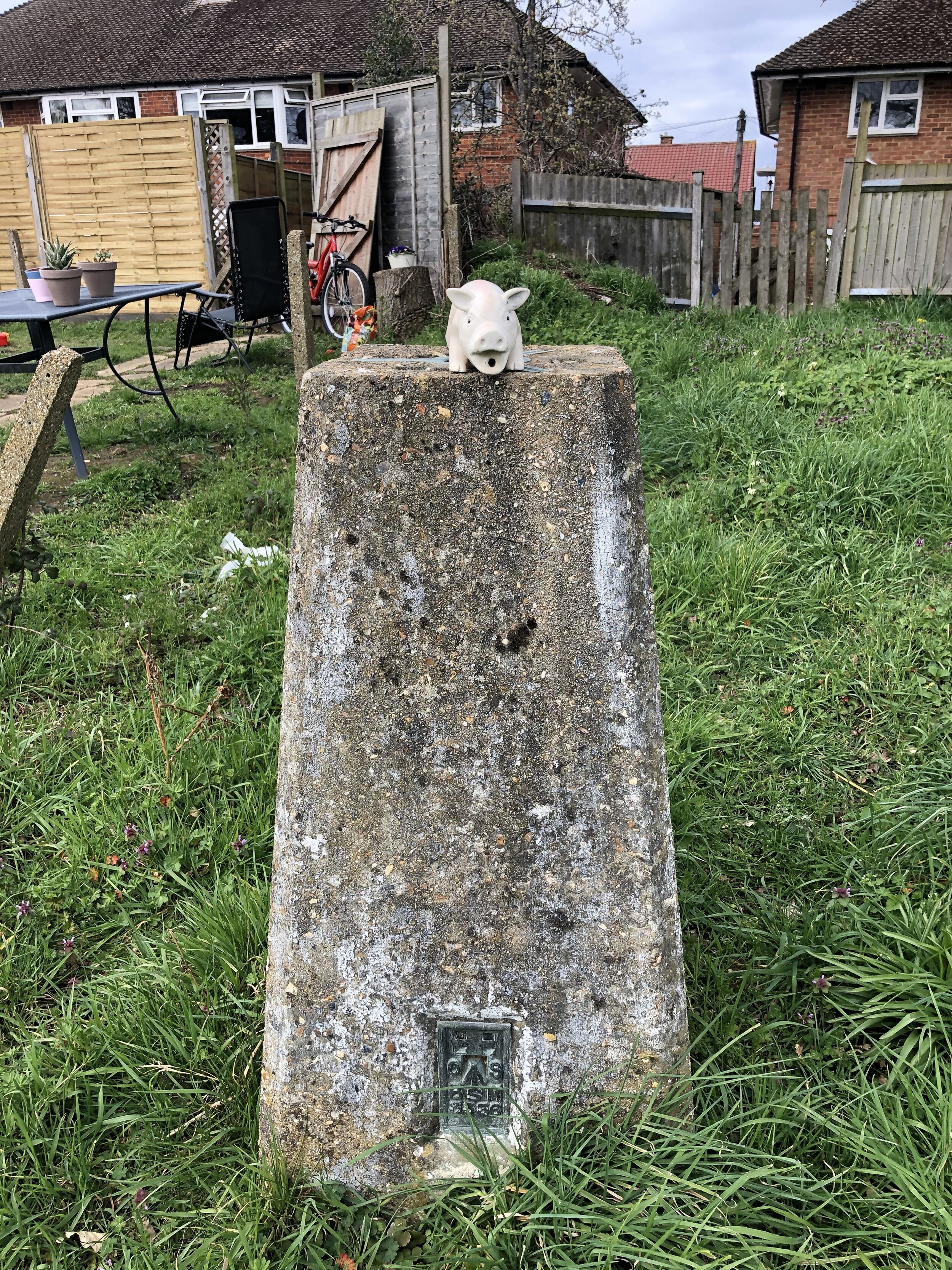
OS Trig Pillar: TP2145 - Chessington
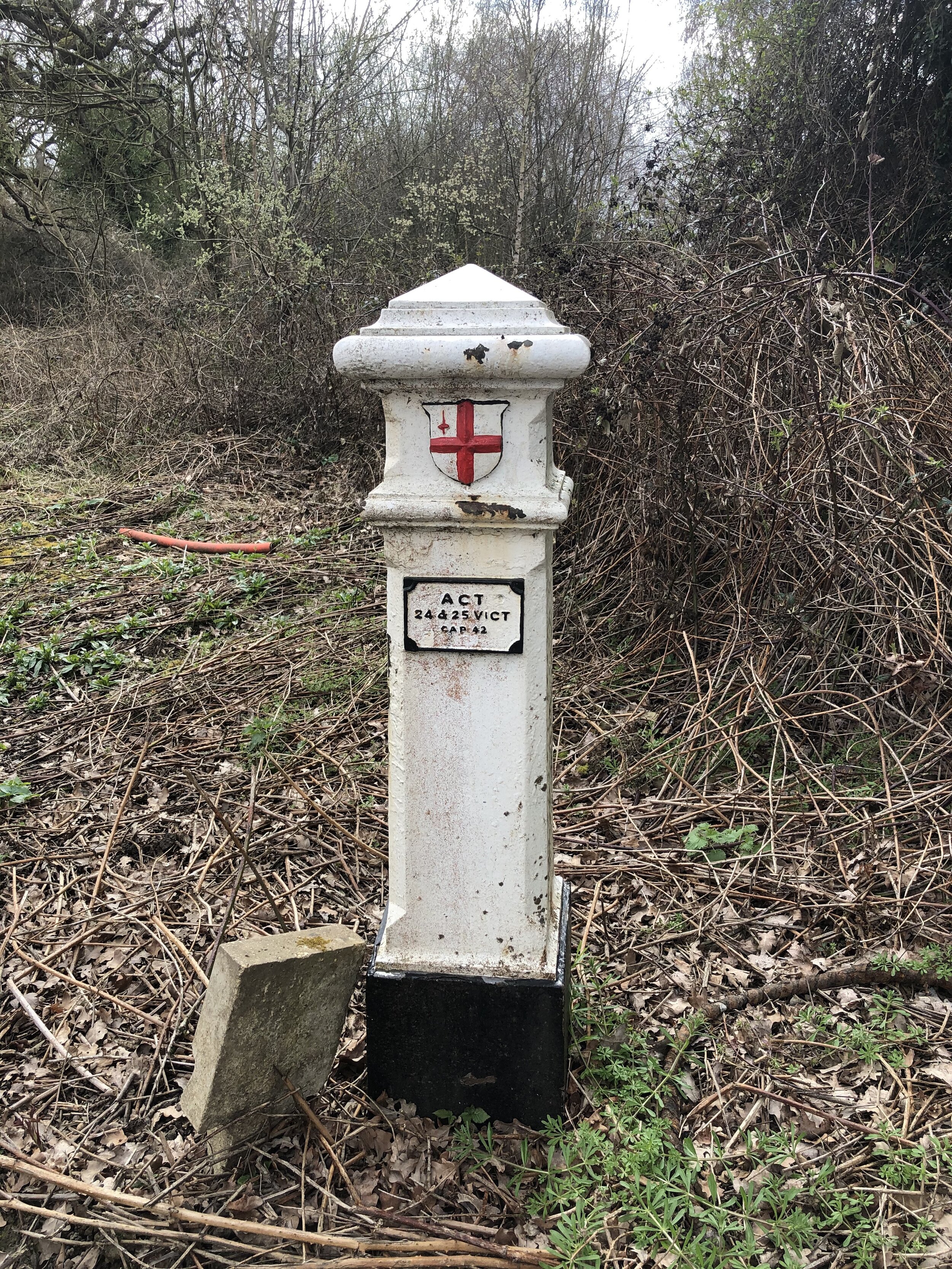
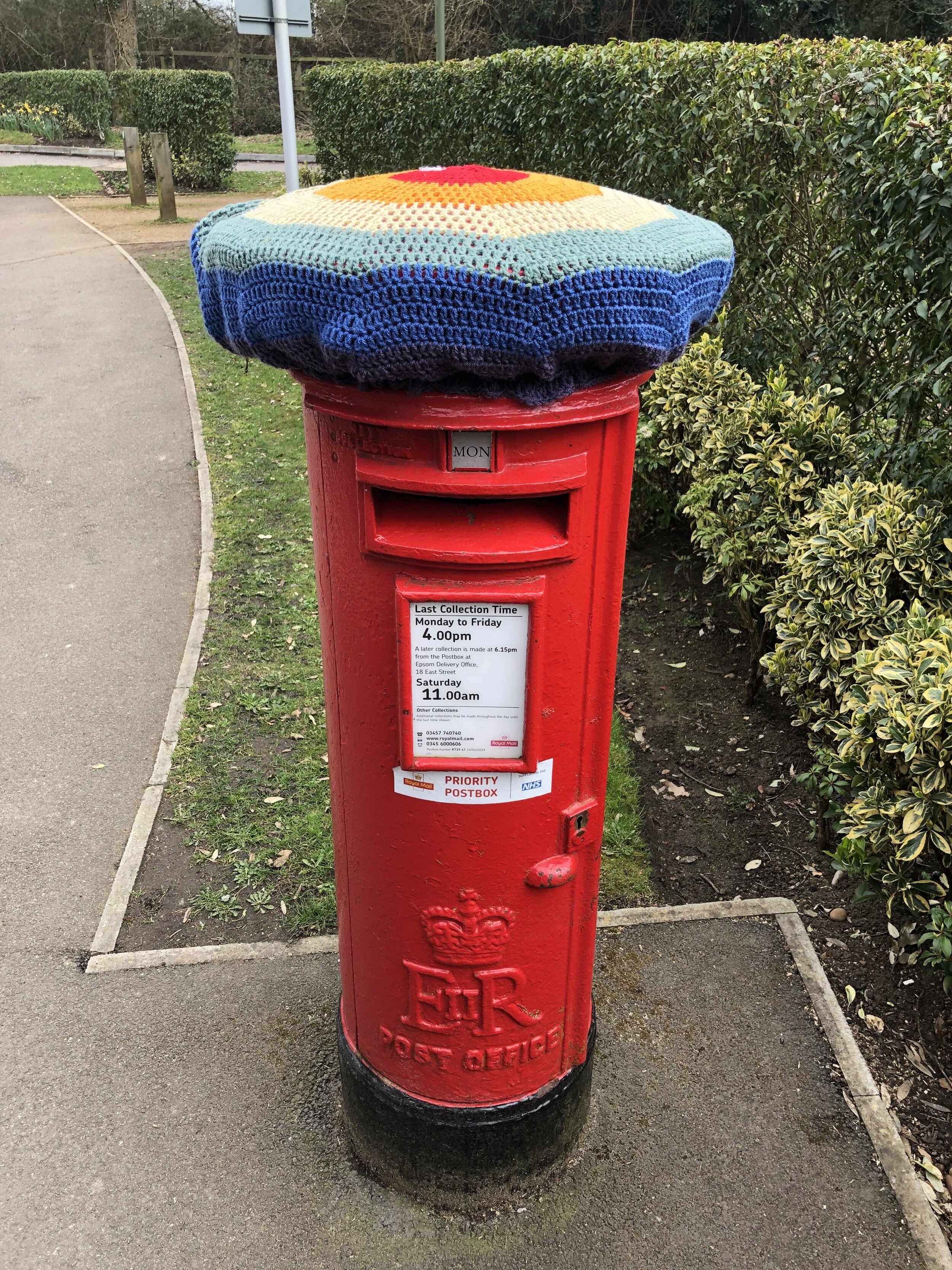
London Coal Duty Posts: 117, 118, 119, 120
Pubs / Cafes on route: N/A
Map: OS Explorer Map (161) London South, Westminster, Greenwich, Croydon, Esher & Twickenham
Links: Explore Surrey - Chessington Countryside Walk Leaflet, Chessington, Chessington South Station, Chessington World of Adventures, Ashtead Common, Epsom Common, Horton Country Park
This is an easy, scenic walk in countryside to the south of Chessington. It was our latest walk in the Explore Surrey series whose website is a rich source of information about getting out and about in the county. As with all of their routes, their PDFs have all the details so I won’t cover them again here.
Our walk was a slight variation on the route described in the PDF in order to bag an OS Trig Pillar and 4 Coal Duty Posts. You’ll pass 2 of the Coal Posts on the Public Bridleway through Ashtead Woods. It’s a minor diversion off the trail to visit the other 2 which are on either side of the B280 Christ Church Road near the Epsom Common Car Park.
The OS Trig Pillar is right at the end of the walk before returning to Chessington South station. It’s an unloved pillar sitting in a vacant patch of land at the end of a residential cul-de-sac. From the footpath off Green Lane look out for the wooden information sign for Huntingate Walk. Take a right here, through a gate and descend a short, steep bank to cross Hunting Gate Drive. Walk up Vivien Close, keeping to the right to find the Trig Pillar is at the end of the road.