Telegraph Hill: Kingston-upon-Thames Borough High Point

Significance: Highest peak in London Borough of Kingston-upon-Thames
Member of: N/A
Parent Peak: Botley Hill. NHN = Clock House
Historic County: Surrey (of which Leith Hill is the County Top)
Elevation: 90m
Date “climbed”: 27th March 2021
Coordinates: 51° 19' 49'' N, 0° 19' 39'' W
Nearest Station: Chessington South (South Western Railway): 3.4 km
On route of: N/A. Chessington Countryside Walk is 2.2 km to the north-east
OS Trig Pillar: TP5774 - Rushett Common (Missing)
Coal Duty Post: 115
Map: OS Explorer Map (161) London South, Westminster, Greenwich, Croydon, Esher & Twickenham
Links: Wikipedia (Kingston-upon-Thames), Peakbagger
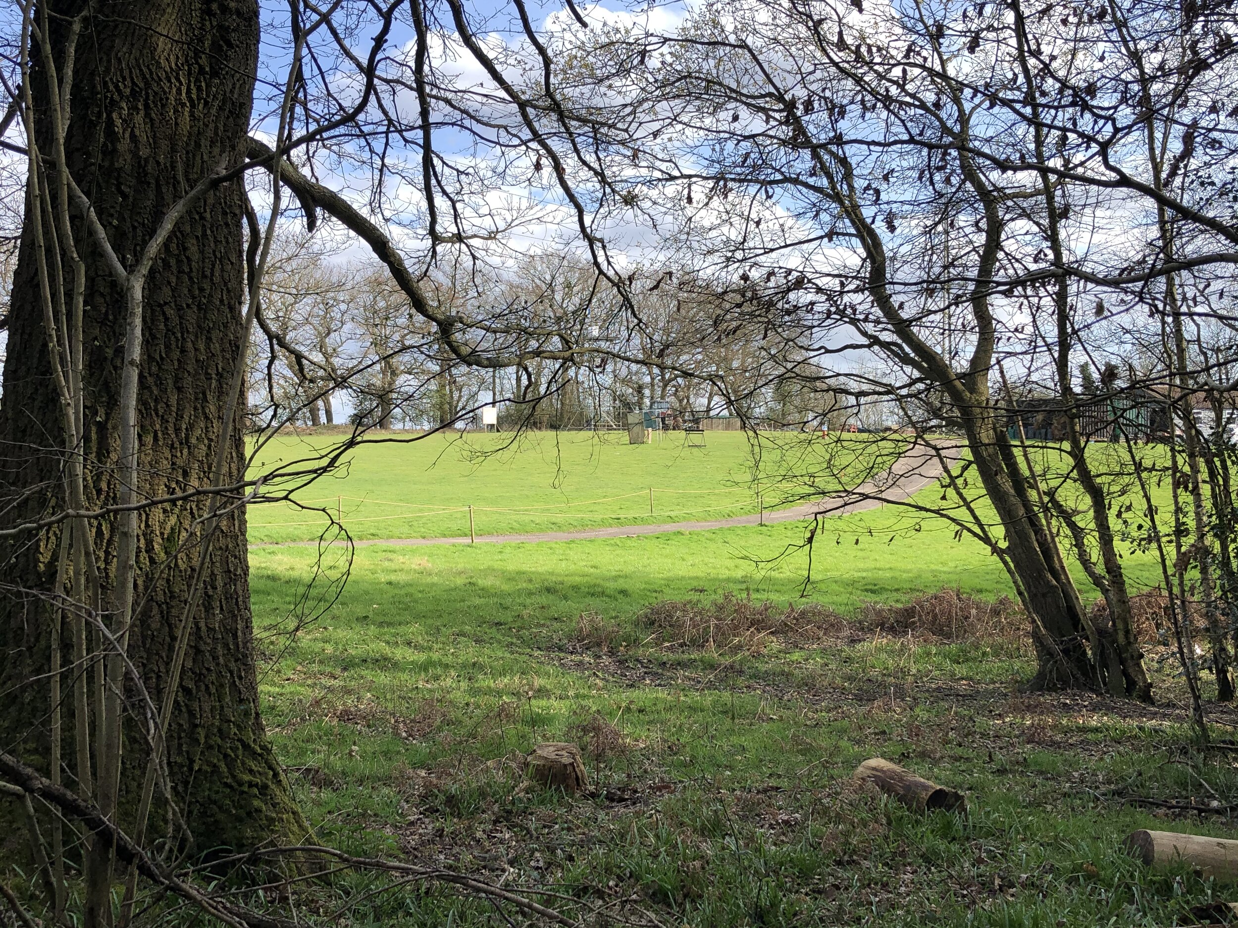
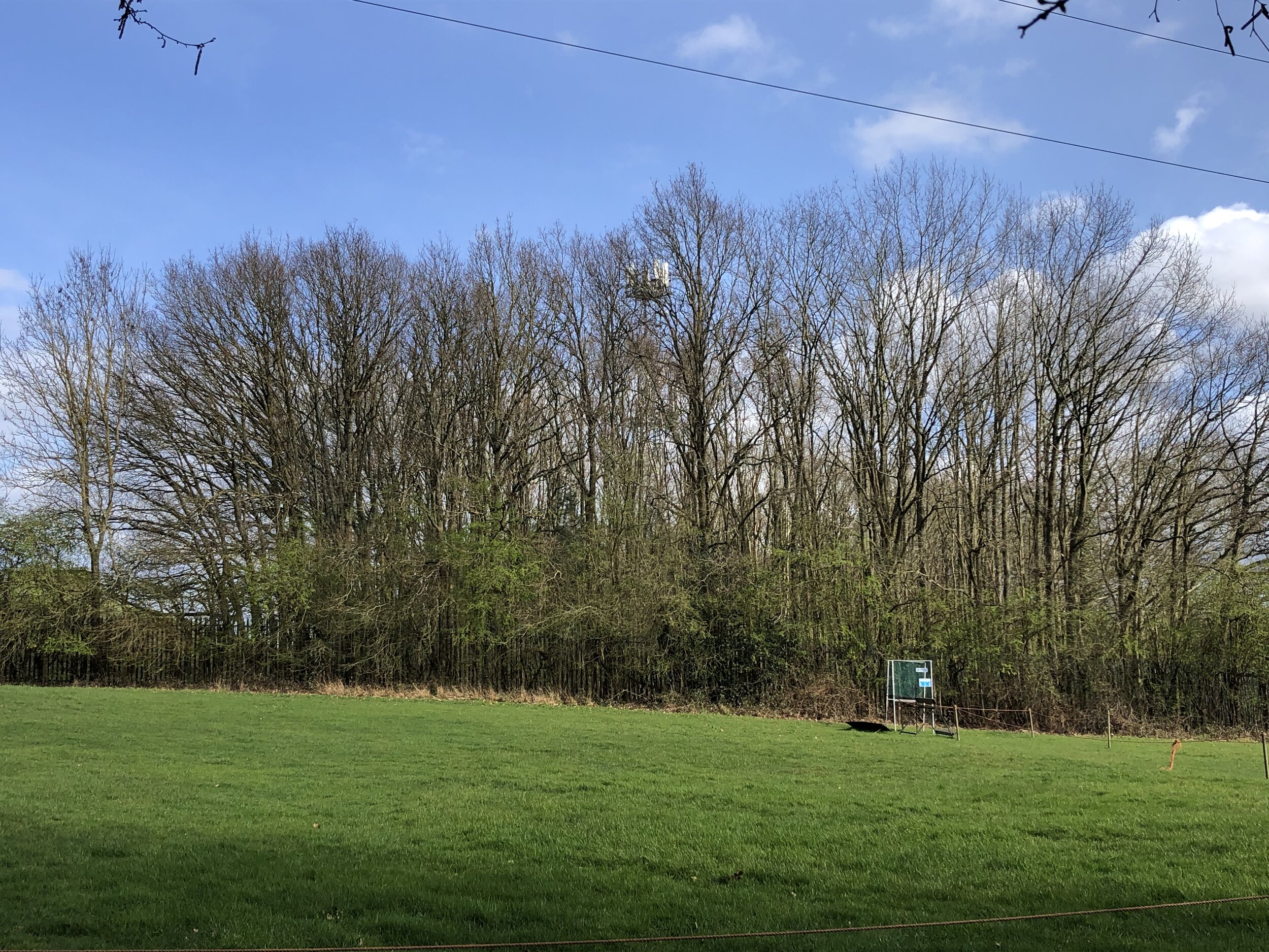
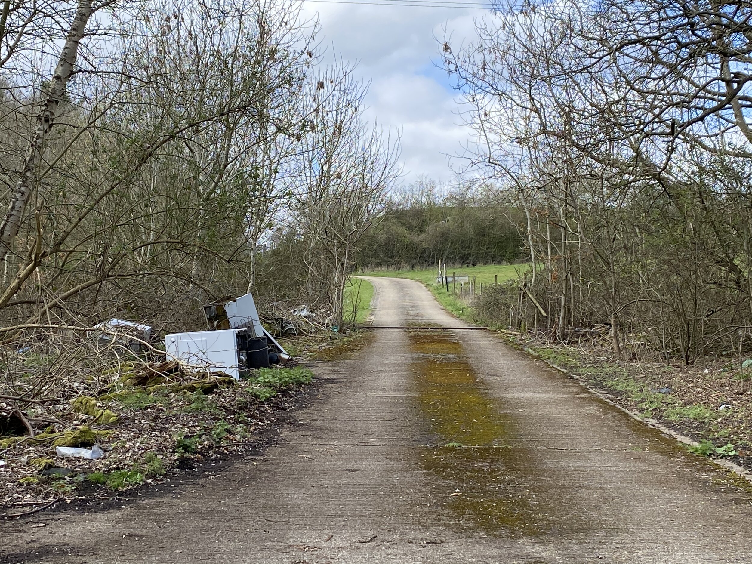
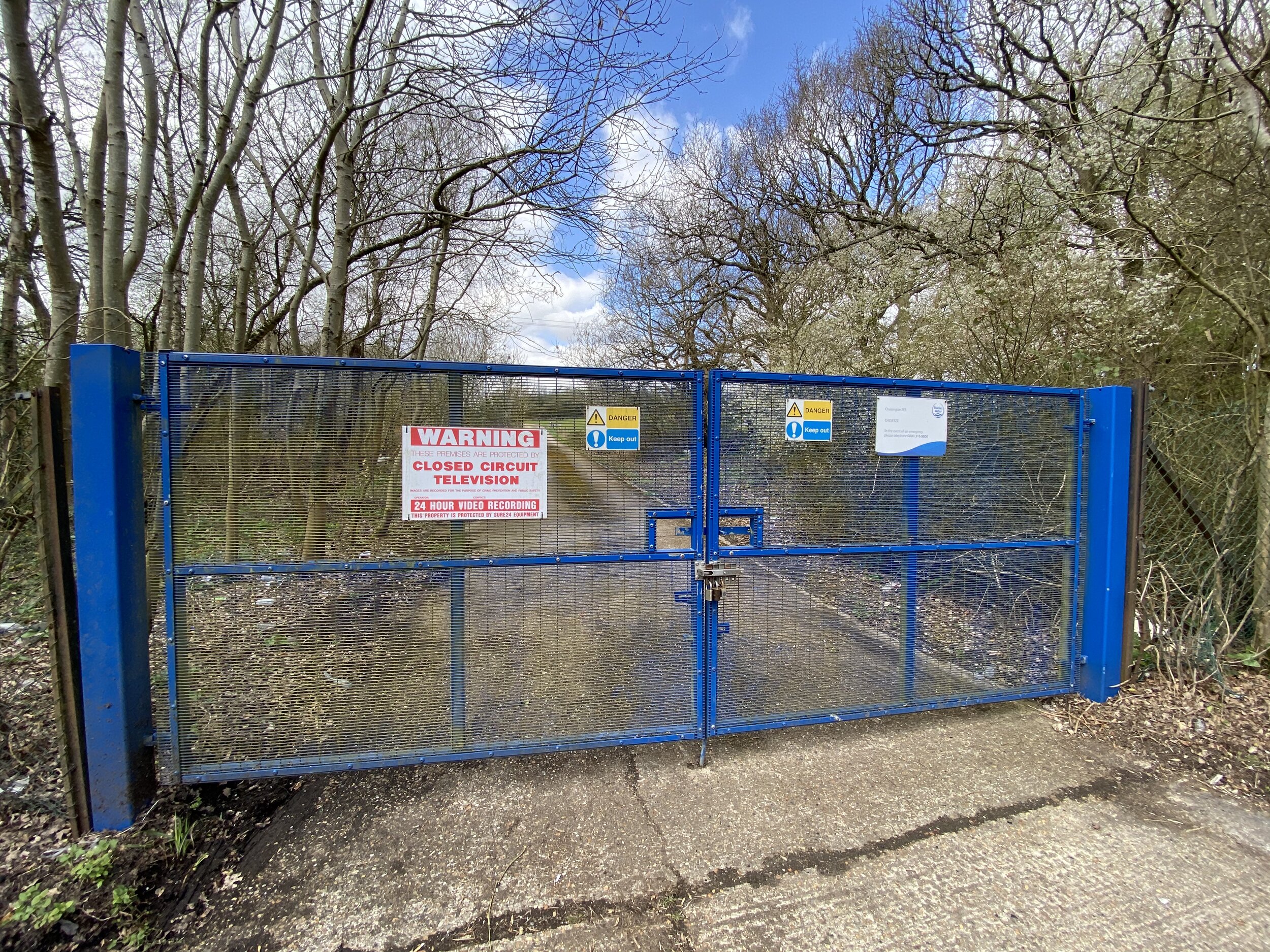
After the under-whelm of visiting High Holborn, this went one step further by both lacking in elevation and being inaccessible. The summit of Telegraph Hill is in private property so you can only get within a few hundred metres of it. You can either pull in by the blue gates on the A423 for a nice view of discarded waste on the shabby driveway or access it via the woods off The Avenue. The latter option gets you slightly closer and at least gives you a walk there from The Star pub on the main road. Look out for the Coal Duty Post in the pub car park.