Clock house: Sutton Borough High Point

Significance: Highest peak in London Borough of Sutton
Member of: N/A
Parent Peak: Botley Hill. NHN = Sanderstead Plantation
Historic County: Surrey (of which Leith Hill is the County Top)
Elevation: 147m
Date “climbed”: 11th September 2021
Coordinates: 51° 19' 25'' N, 0° 9' 39'' W
Nearest Station: Woodmansterne (Southern Rail): 1 km
On route of: N/A. The London Loop is 0.6 km to the north-east
Map: Dorking, Box Hill & Reigate Map | Leatherhead & Caterham | Ordnance Survey | OS Explorer Map 146
Links: Wikipedia (Sutton), Peakbagger
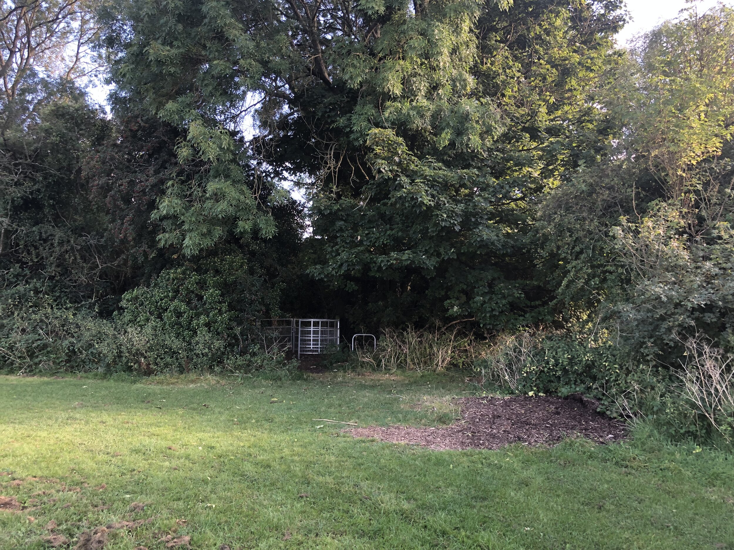
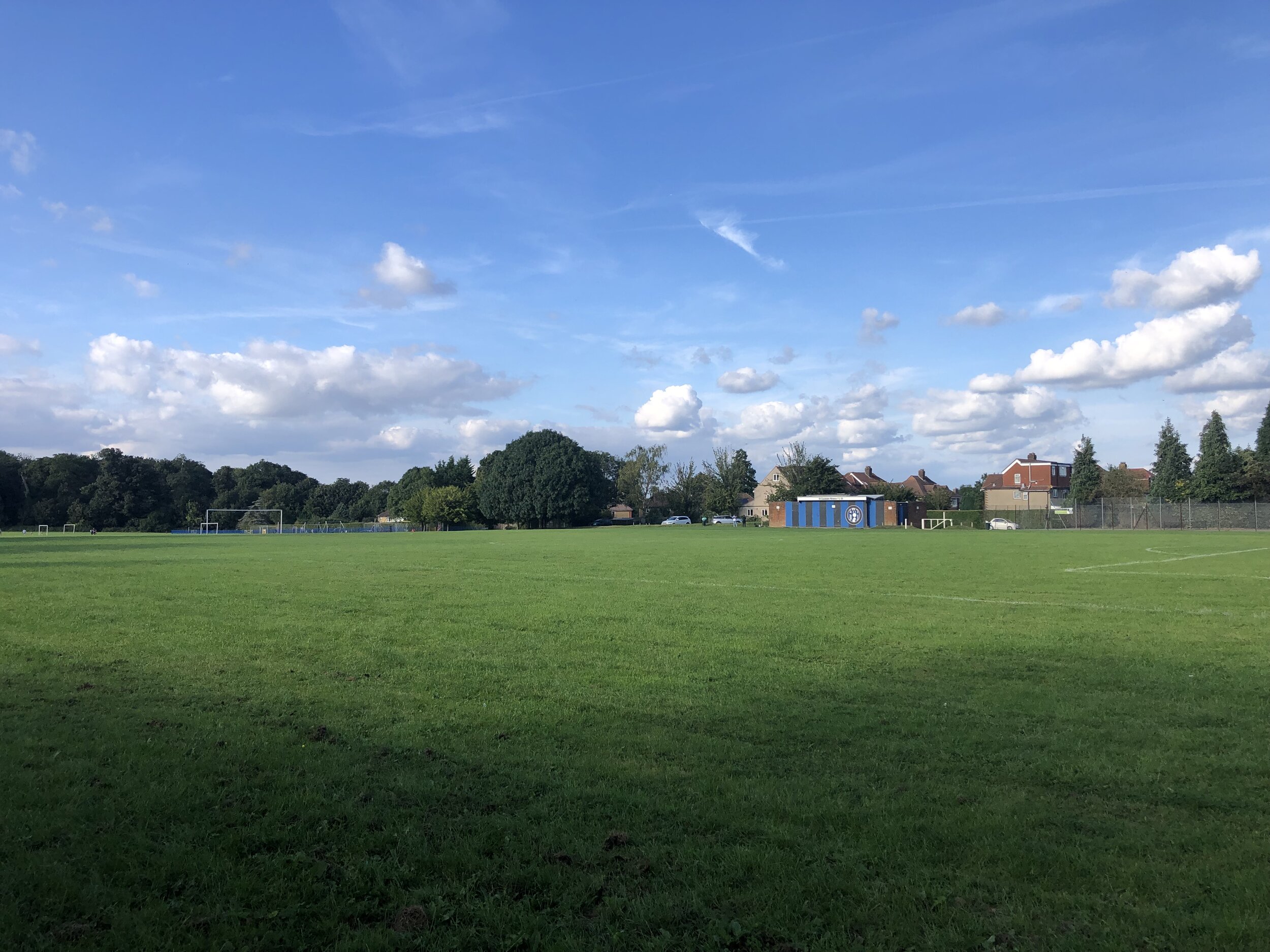
Sutton’s High Point is another contender for least interesting Greater London Borough High Point. It’s in the southern corner of the Clock House Recreation Ground field. No marking, not much to see here.