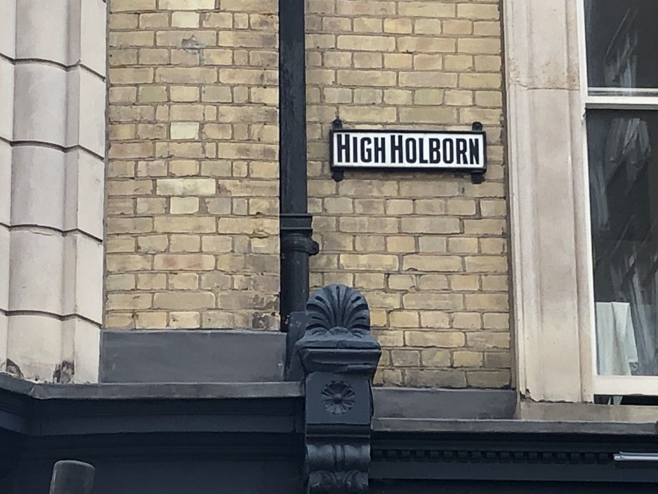
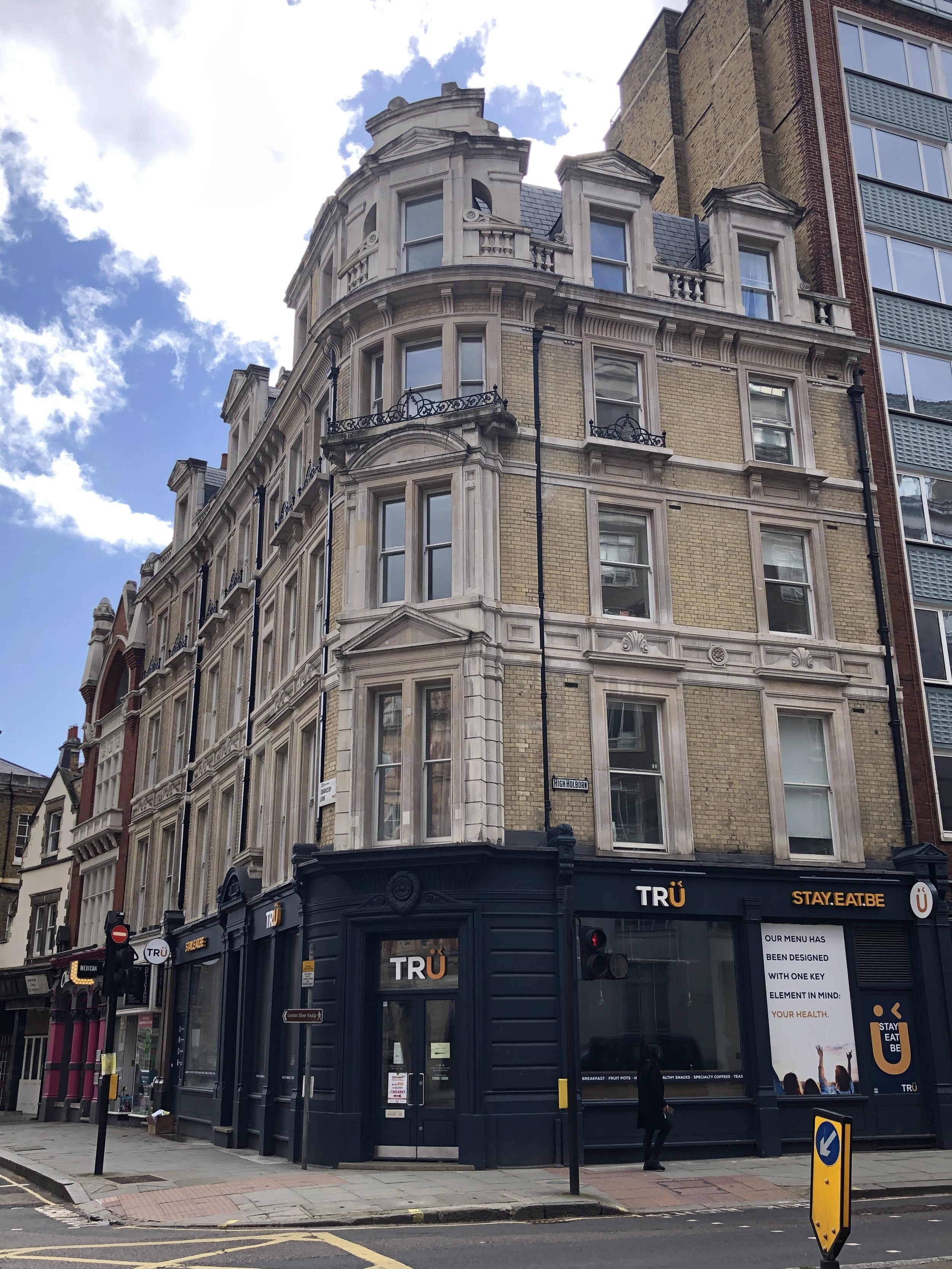
High Holborn: City of London High Point


Significance: Highest peak in the City of London
Member of: N/A
Parent Peak: Haddington Hill. NHN = Primrose Hill
Historic County: Middlesex (of which Bushey Heath is the County Top)
Elevation: 22m
Date “climbed”: 13th March 2021
Coordinates: 51°31'05.3"N 0°06'49.5"W
Nearest Station: Chancery Lane (Central Line): 0.2 km
On route of: City of London Boundary Walk, Jubilee Walkway
Map: OS Explorer Map (173) London North, The City, West End, Enfield, Ealing, Harrow & Watford
Links: Wikipedia (City of London), Wikipedia (High Holborn), Peakbagger, Hillbagging, Jubilee Walkway
No great adventure, or even a micro-adventure, for this one. The Wife had an appointment in Central London, so needing something to fill 30 minutes after I dropped her off, I headed over to the City to bag this one. It’s one of the lowest London high points both in terms of elevation and (probably) excitement.
The best way to bag High Holborn is on the route of the City of London Boundary Walk where you can also visit the 14 dragons that guard the city.
Note that The City of London is actually a Ceremonial County, not a London Borough. See The English County Tops for details.