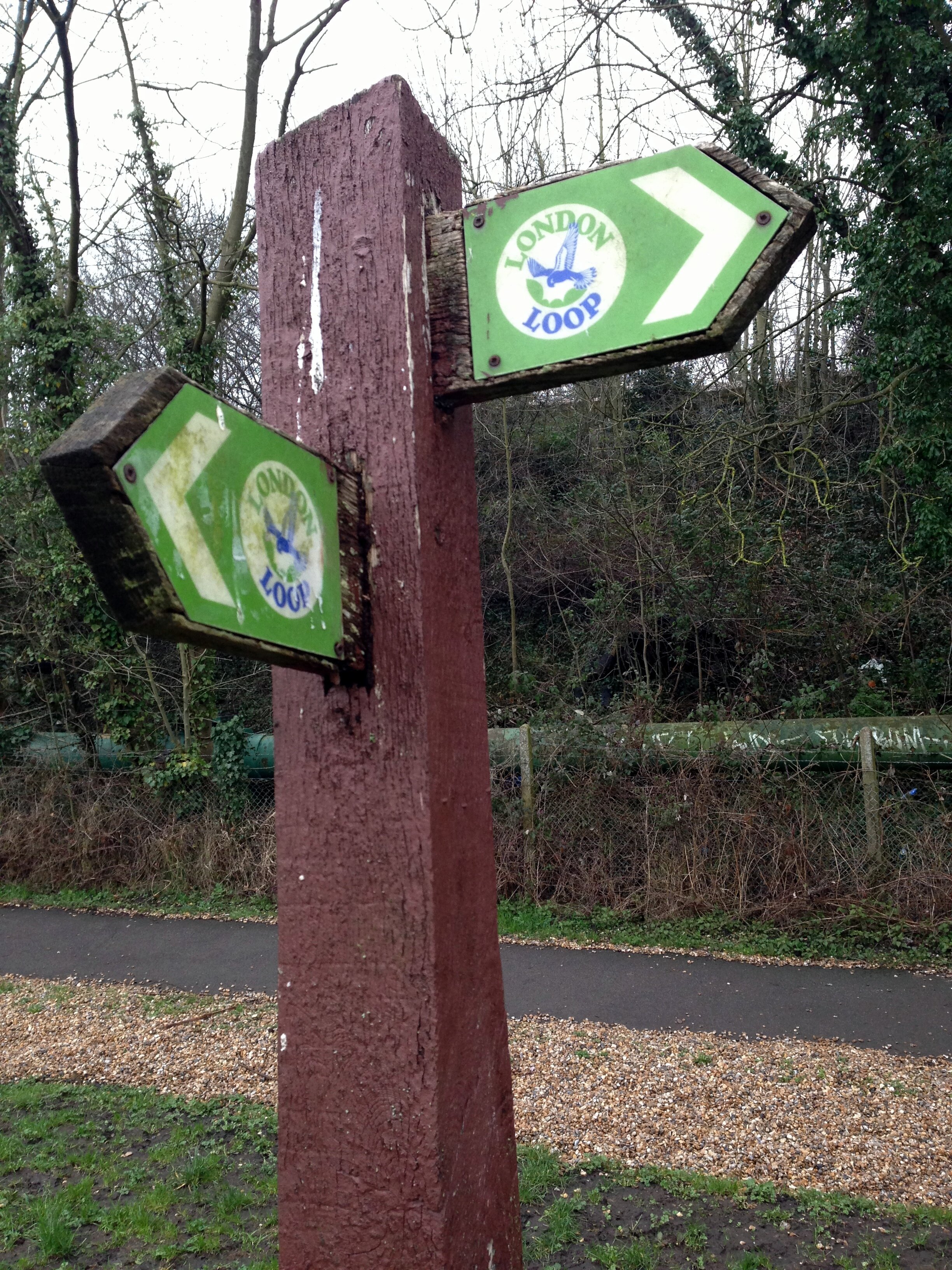
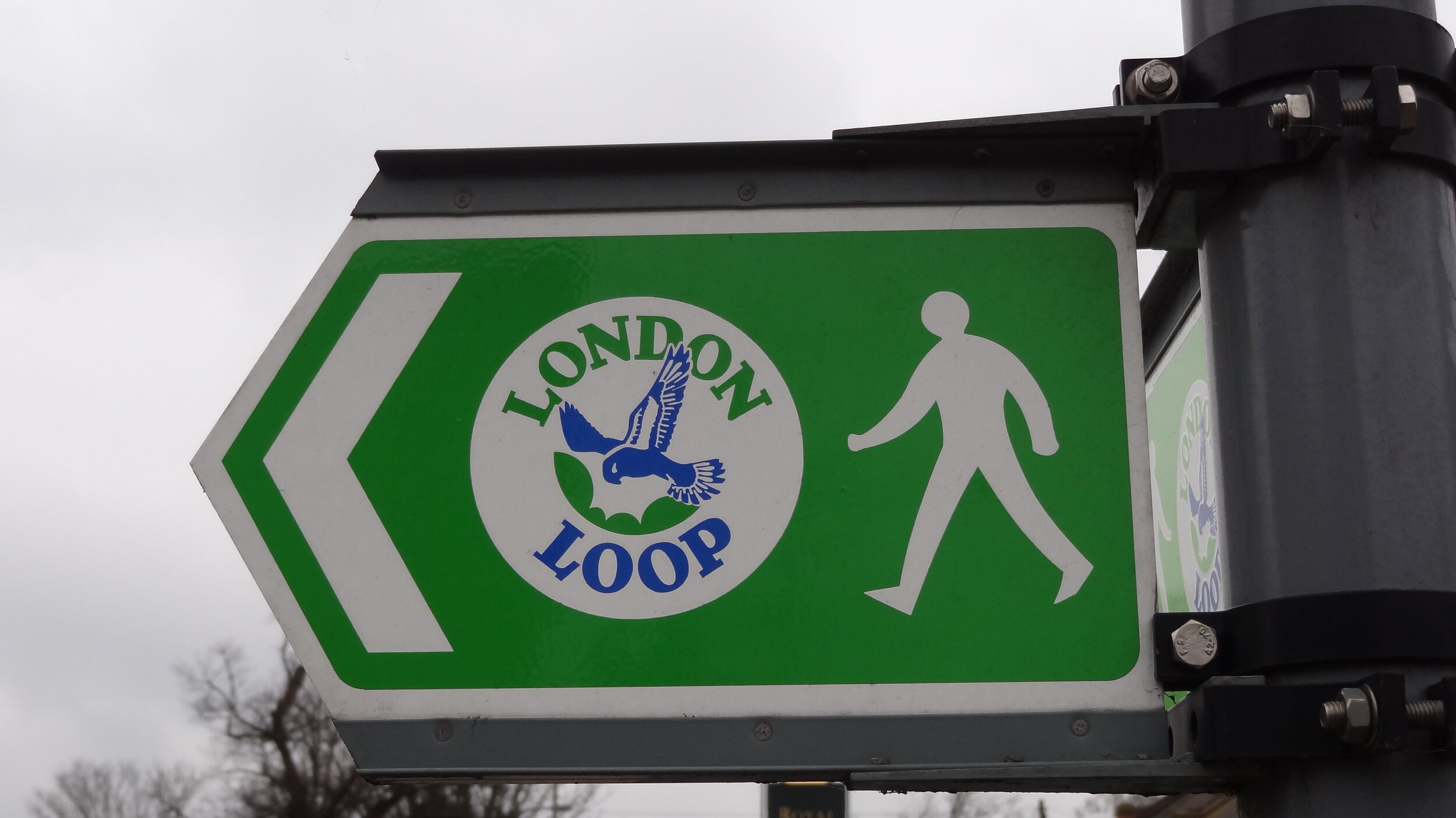
Cycling The London Loop

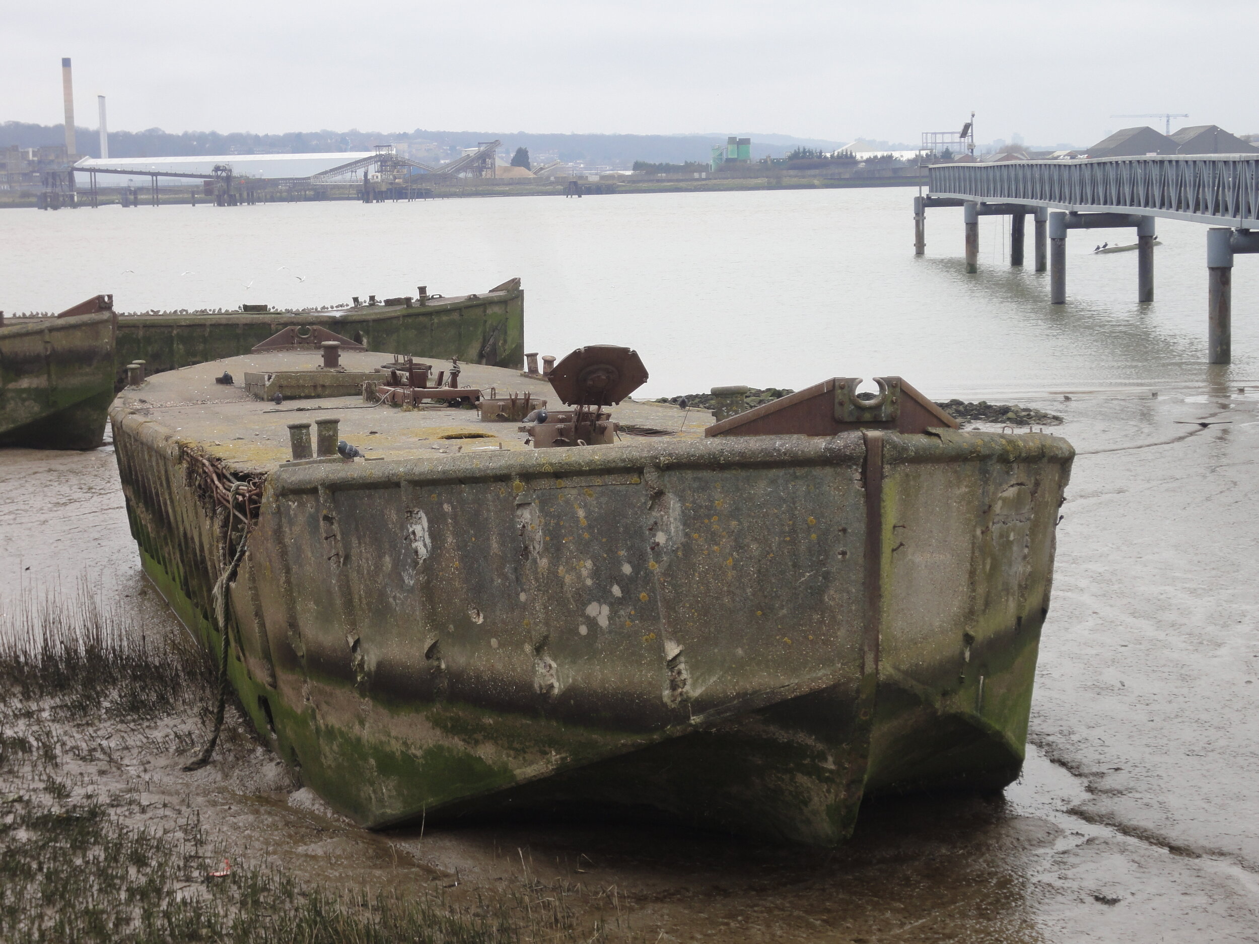
Concrete barges at Rainham
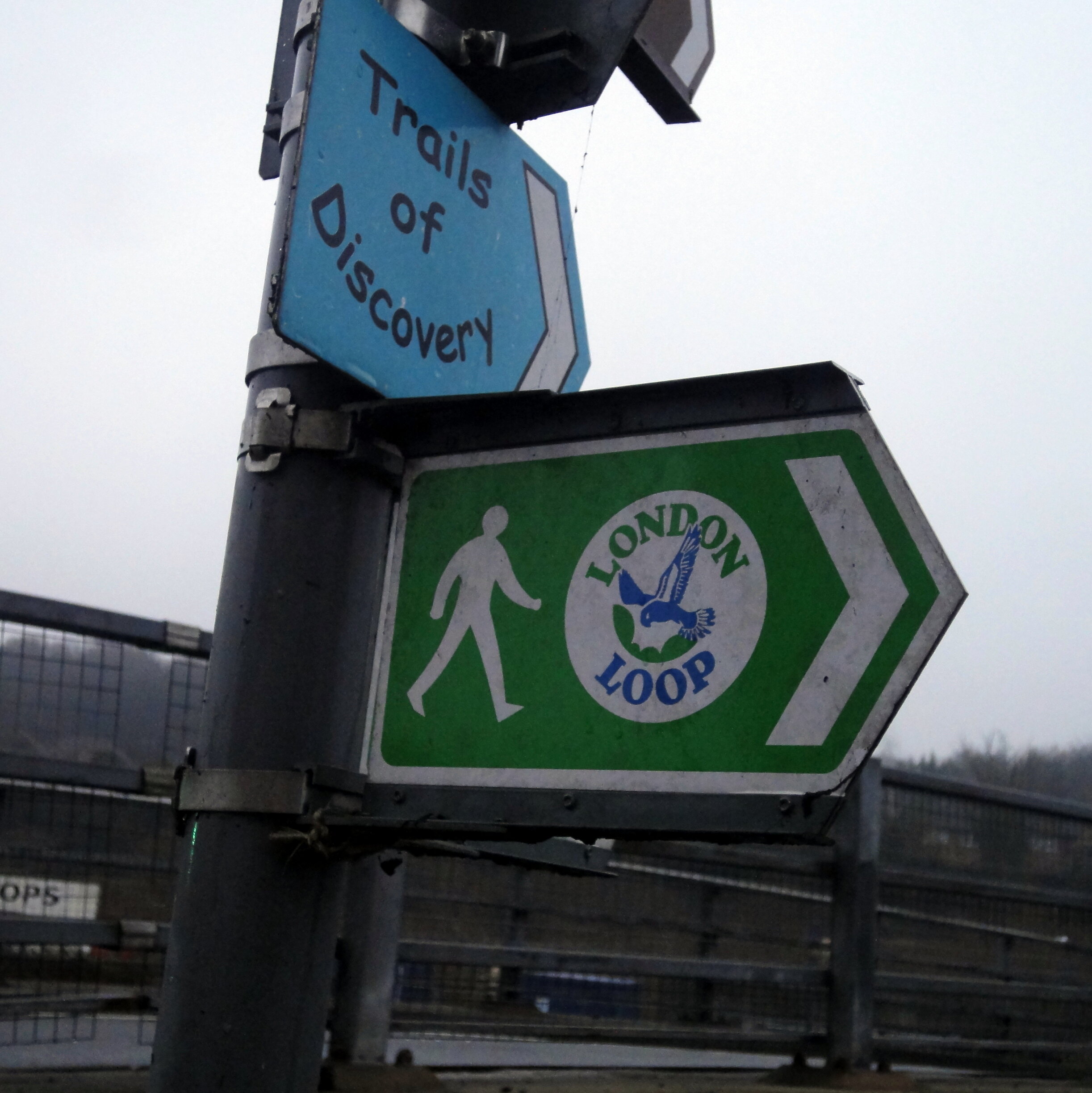
The London Loop is a sprawling, 130-mile circular route that takes you right around the green edges of outer London. Officially, it was designed as a walking trail, but with just a few clever diversions from the main path, much of it is actually entirely suitable for cycling. I decided to tackle the whole thing in a two-day micro-adventure back in 2013.
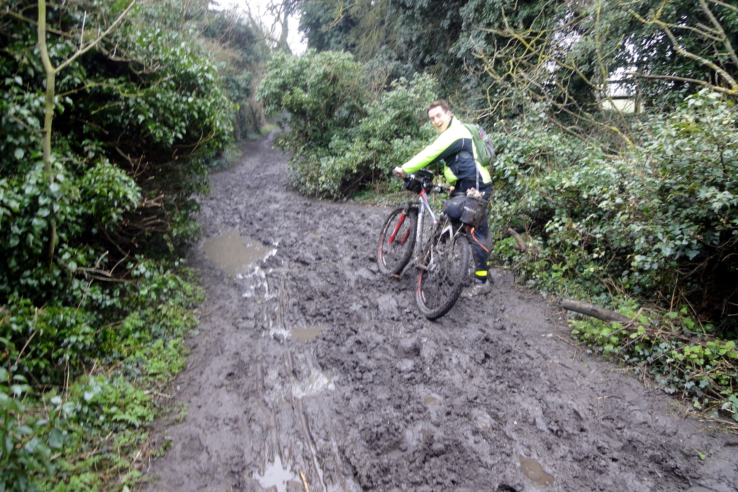
A quick tip before you set off: because both the London Loop and its inner cousin, the Capital Ring, were originally designed for walkers, you will find sections that simply cannot be cycled. You will frequently be riding on designated cycle routes and quiet roads, but some sections use footpaths where bikes are not allowed, so you have to be prepared to navigate a few alternative routes around these spots!
Day 1: Southern Section: Harefield to Dartford
Start: The Coy Carp, Copperhill Lane, Harefield, Uxbridge UB9 6HZ
Finish: Grotty hotel near the Dartford Crossing, Kent
Distance: 110 km (68 miles)
Elevation Change: + 1.046m / - 1,082m. Net -36m
GPX File: get via Buy Me a Coffee
Other Routes Touched (Walk): Colne Valley Trail, Hillingdon Trail, Grand Union Canal Towpath, Celandine Route, Shakespeare’s Way, Beeches Way, Thames Path, Thames Down Link, Hogsmill Valley Walk, Town and Down Circular Walk, Sutton Countryside Walk, Vanguard Way, Greenwich Meridian Trail, Cray Riverway, Darent Valley Path
Other Routes Touched (Cycle): NCN 1, 125, 20, 21, 232, 4, 6, 61
Guidebook: The London Loop: Recreational Path Guide by Colin Saunders
Maps:
- OS Explorer Map (172) Chiltern Hills East
- OS Explorer Map (160) Windsor, Weybridge & Bracknell
- OS Explorer Map (161) London South, Westminster, Greenwich, Croydon, Esher & Twickenham
- OS Explorer Map (162) Greenwich and Gravesend
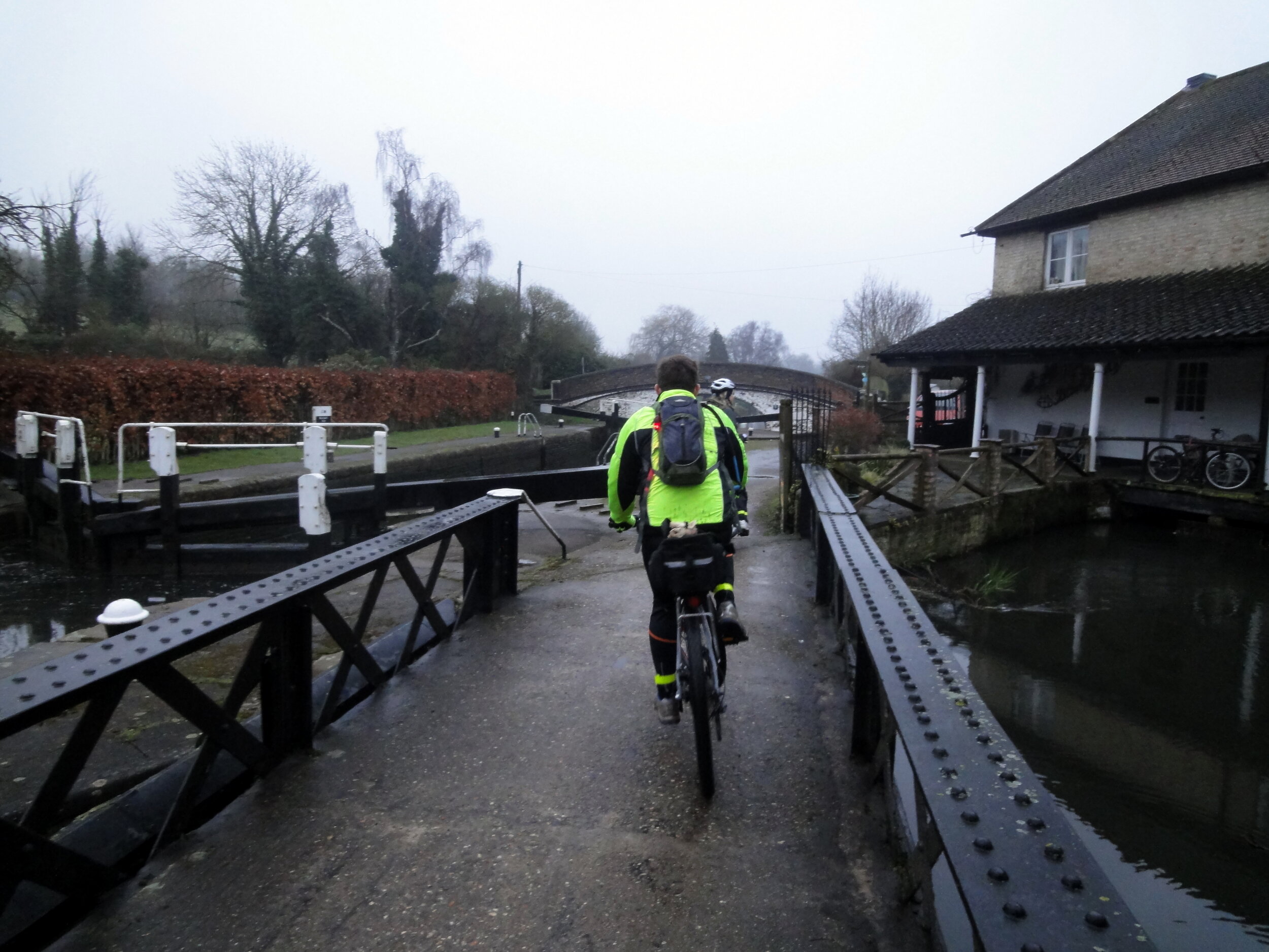
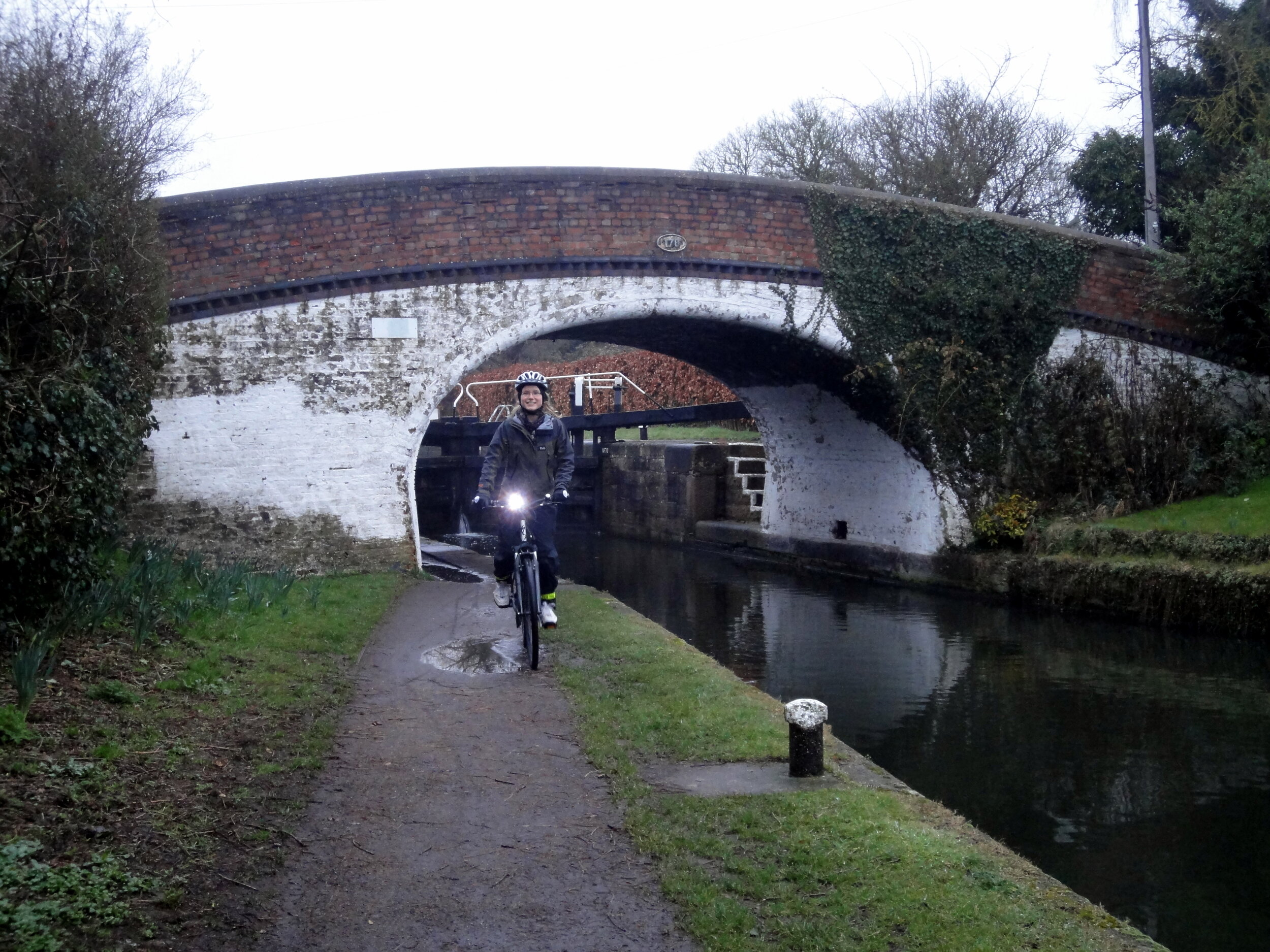
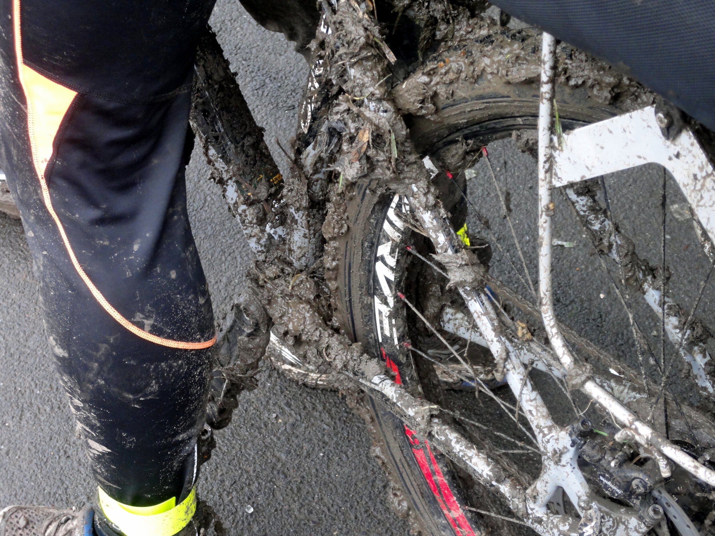
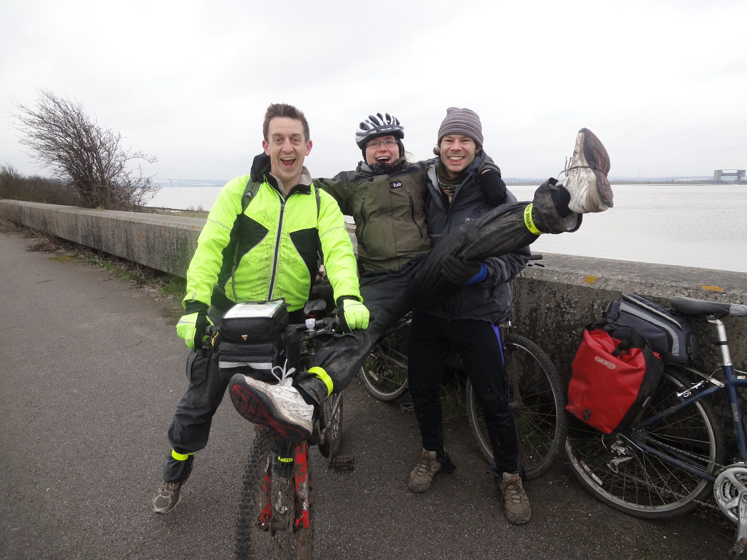
We started our massive first day at The Coy Carp in Harefield, winding our way south and east across 68 miles of surprisingly rural landscapes right on the edge of the capital. It is a fantastic ride that links up an incredible number of historic places, from the Grand Union Canal to the ancient paths of the Greenwich Meridian Trail. We eventually finished up at a rather grotty hotel near the Dartford Crossing to get some rest for the night.
Day 2: Northern Section: Dartford to Harefield
Start: Grotty hotel near the Dartford Crossing, Kent
Finish: The Coy Carp, Copperhill Lane, Harefield, Uxbridge, UB9 6HZ
Distance: 92 km (57 miles)
Elevation Change: + 967m / - 962m. Net +5m
GPX File: get via Buy Me a Coffee
Other Routes Touched (Walk): Havering Green Ways, Greenwich Meridian Trail, Lea Valley Walk, New River Path, Pymmes Brook Trail, Colne Valley Trail, Hillingdon Trail, Grand Union Canal Towpath
Other Routes Touched (Cycle): NCN 1, 13, 136, 3, 6, 61
Guidebook: The London Loop: Recreational Path Guide by Colin Saunders
Maps:
- OS Explorer Map (173) London North, The City, West End, Enfield, Ealing, Harrow & Watford
- OS Explorer Map (172) Chiltern Hills East
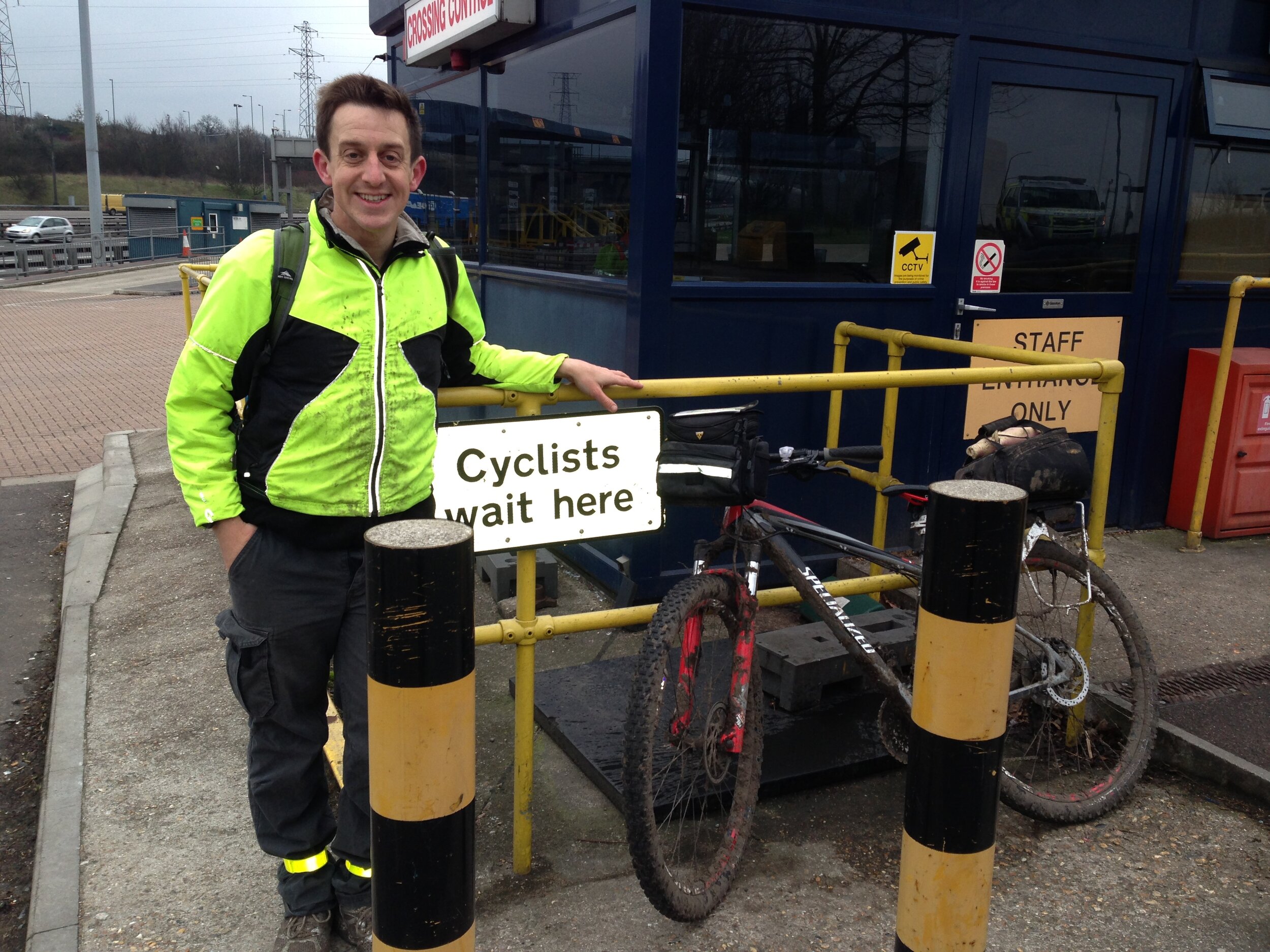
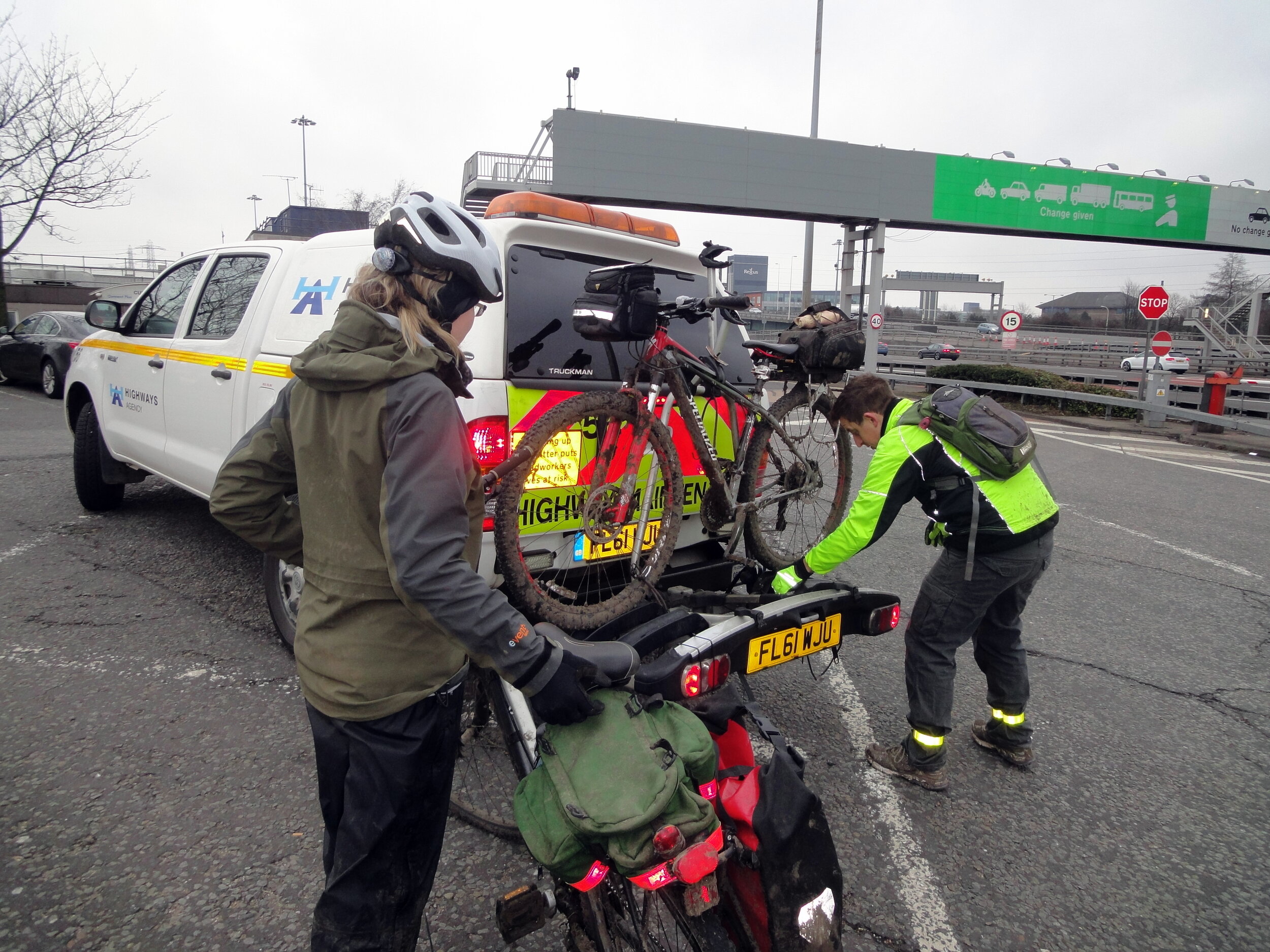
The second day covers the remaining 57 miles, taking you back up through Essex and the northern edge of Greater London. Getting across the Thames first thing in the morning is an adventure in itself. You cannot cycle over the Dartford Bridge or through the tunnel, but there is a free shuttle service run by the crossing authorities that drives you and your bikes safely through to the other side.
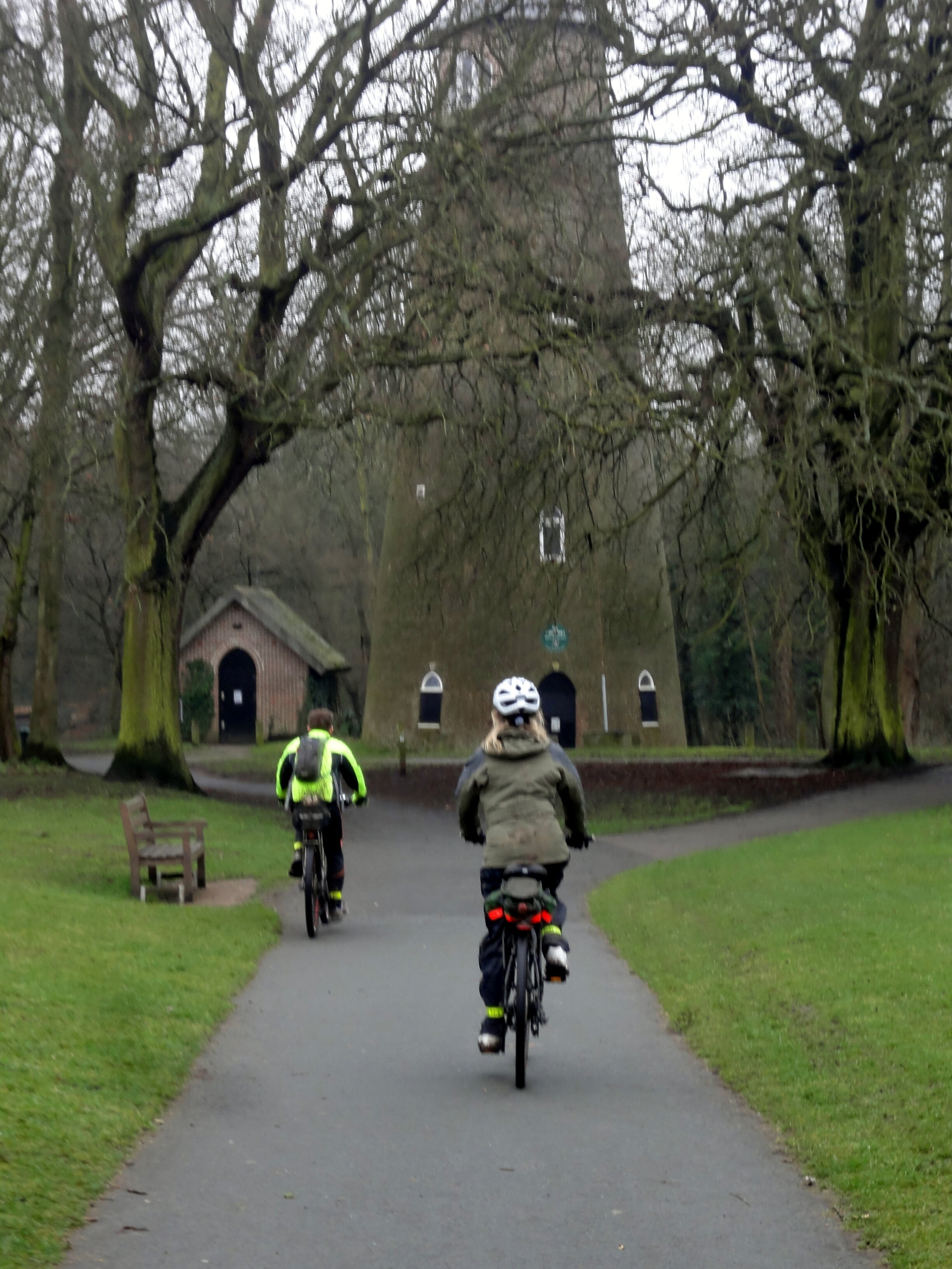
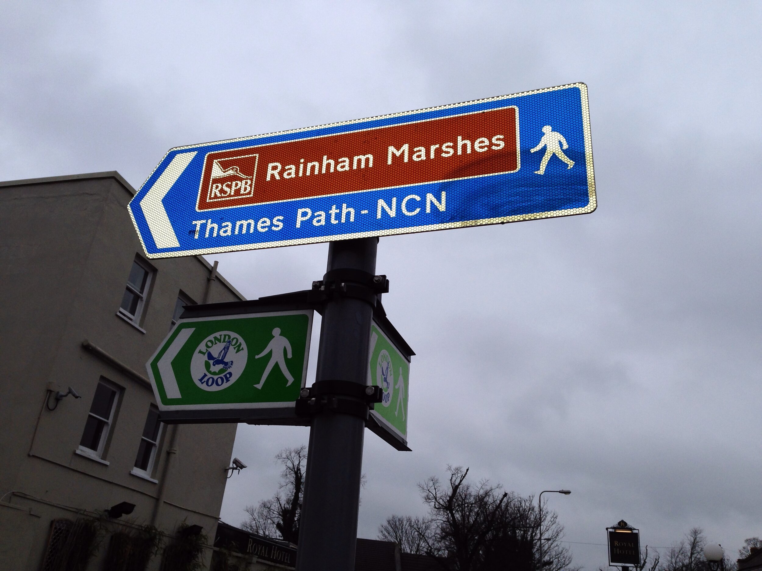
Once across, the northern route takes you past some amazing hidden places. Look out for the famous concrete barges abandoned in the mud at Rainham—these enormous concrete vessels are actually leftover relics from the Mulberry harbour preparations for the D-Day landings in WWII! The route then picks up the Lea Valley Walk, the New River Path, and finally the Colne Valley Trail to bring you full circle back to The Coy Carp for a very well-earned pint.
The London Loop and Capital Ring
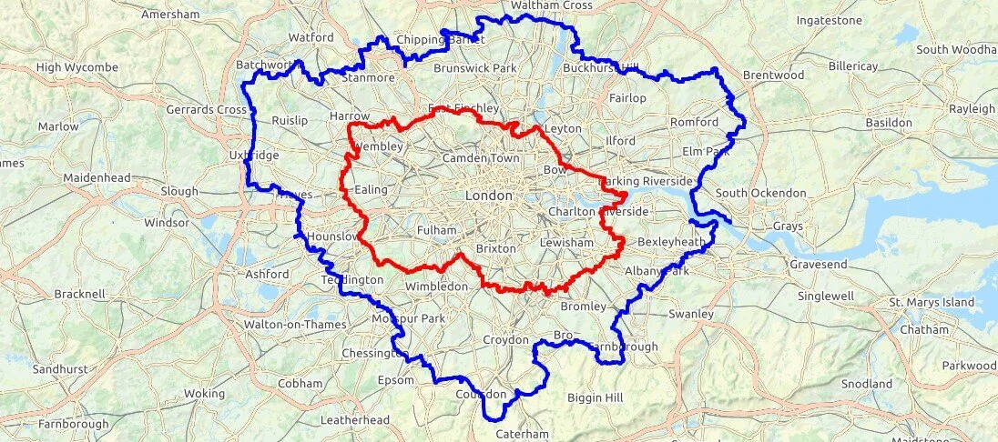
London Loop in Blue, Capital Ring in Red. Base map from OpenStreetMap
More London Posts
If you enjoyed reading this post, there is plenty more to explore across the capital. I have put together a dedicated London Outdoors page where I keep track of all my other adventures around the city. It is a handy index where I group my posts by the different types of places I have visited: including historic boundary lines, canal towpaths, and some surprising urban high points.
The collection covers a bit of everything: from long-distance cycling routes to tracing the underground network on foot, and ticking off another Saturday morning parkrun. If you are looking for some inspiration for your own weekend outings, head back over to the London Outdoors page to see what else I have been up to.