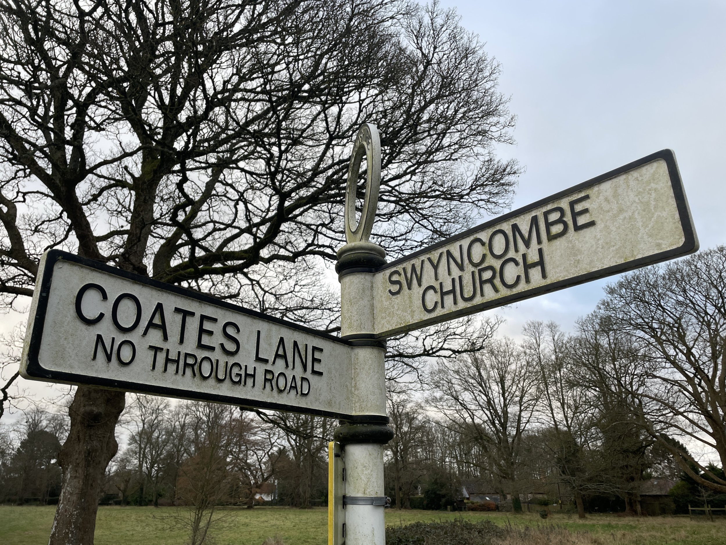
Chiltern Walks: Three walks from Swyncombe

From Walk 2: Swyncombe and Park Corner
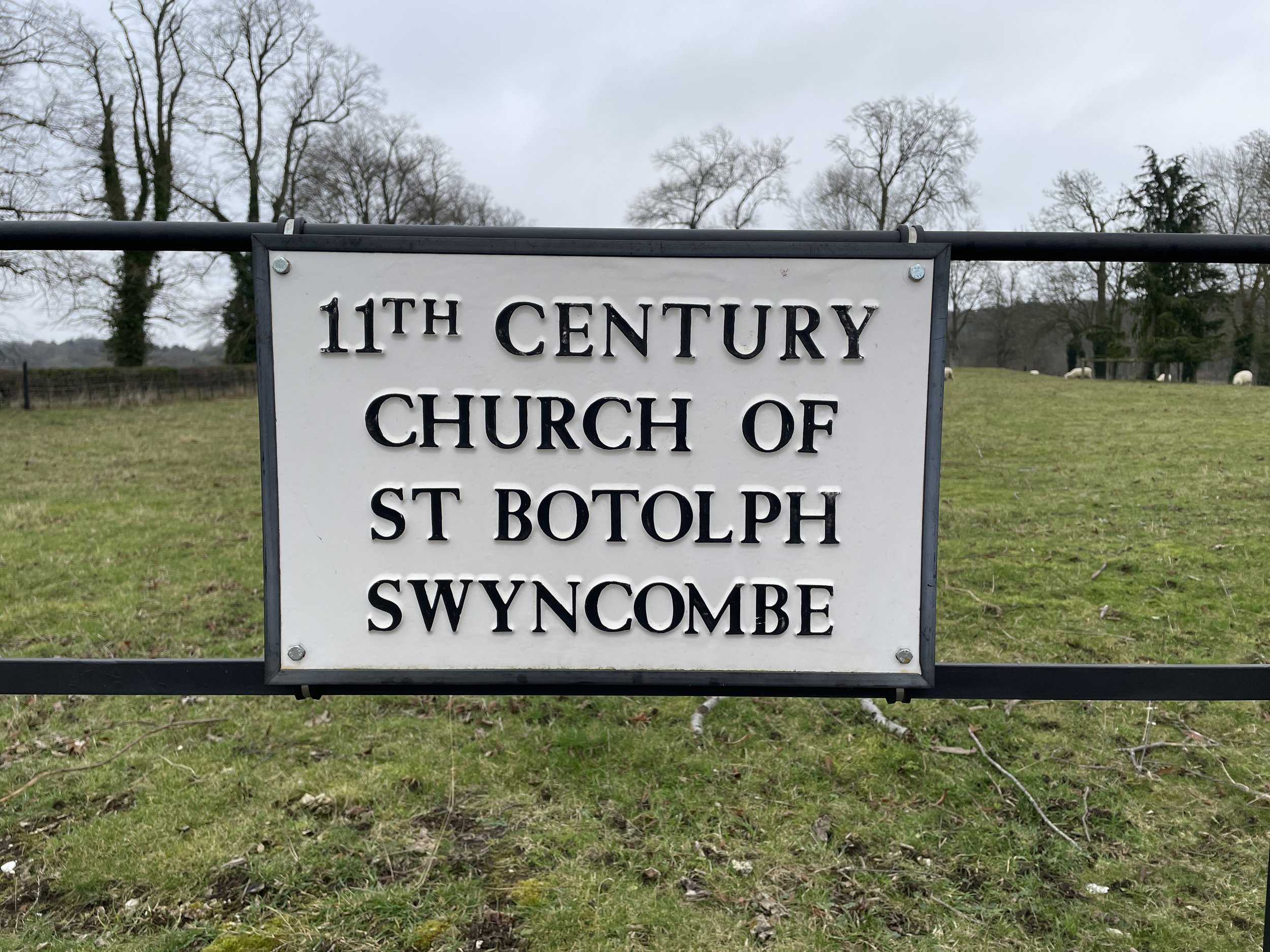
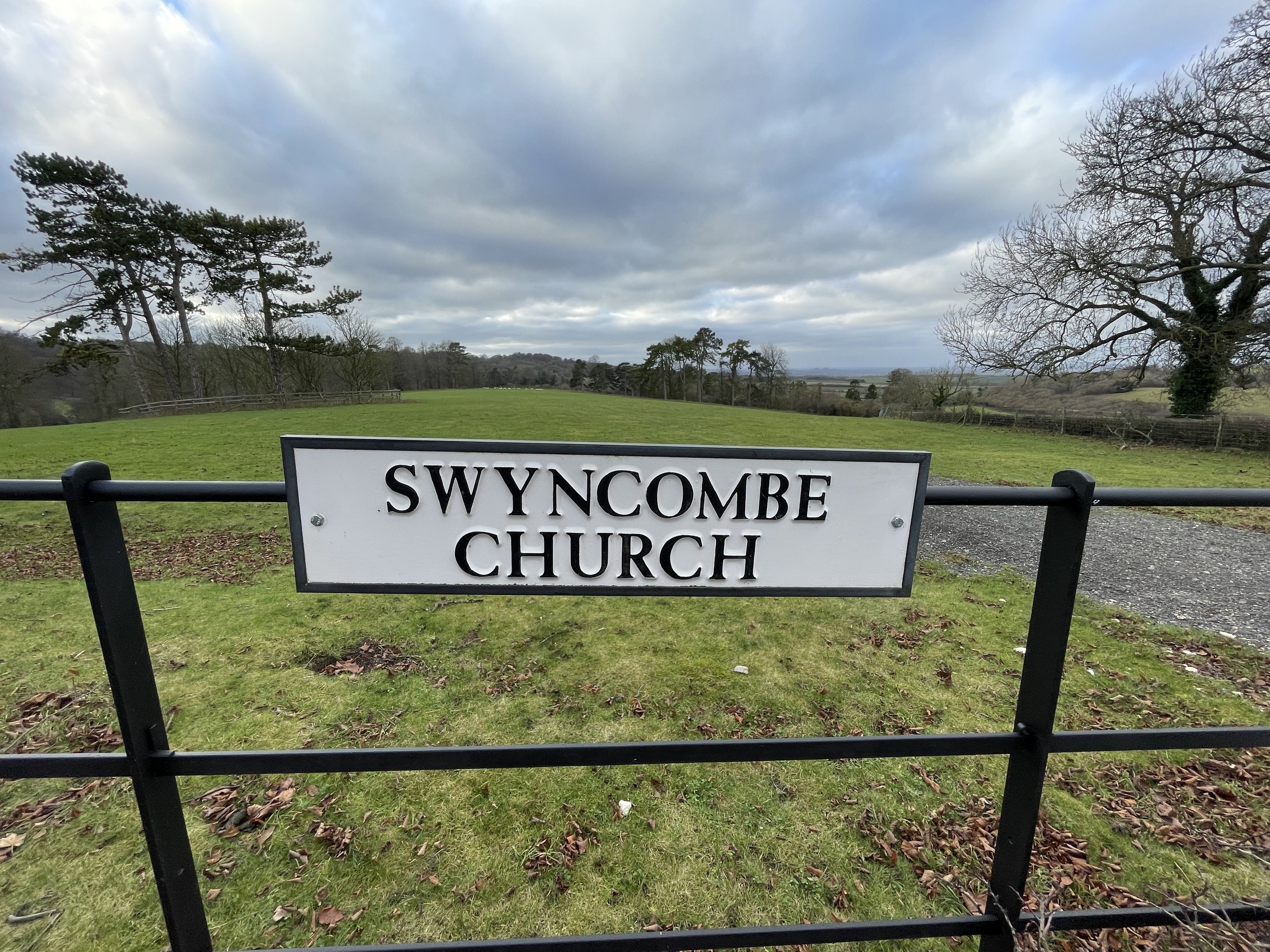
This is part of a series of short circular walks in the Chilterns with 3 separate routes all starting from St Botolph's Church, Swyncombe in Oxfordshire. The guidance below will help you navigate but don’t use it as a fully accurate turn-by-turn guide. Always take a map and/or a GPX route and prepare well for the weather and terrain.
Each of the 3 walks touches combinations of sections of the Shakespeare’s Way, The Chiltern Way and The Ridgeway. If you’re following The Shakespeare’s Way series of walks through the Chilterns this post contains sections 2 and 3 taking you from The Ridgeway near Watlington to just south of Russell’s Water.
Details for All Routes:
Start & Finish: St Botolph's Church, Swyncombe, Henley-on-Thames, Oxfordshire, RG9 6EA
Map: OS Explorer Map (171) Chiltern Hills West, Henley-on-Thames and Wallingford
Links: Swyncombe, Ewelme
Route 1: Swyncombe and The North
Distance: 8.1 km (5 miles)
Elevation change: +/- 176m
Shakespeare’s Way section covered: The Ridgeway to Cookley Green: 3.8 km
GPX File: get via Buy Me a Coffee
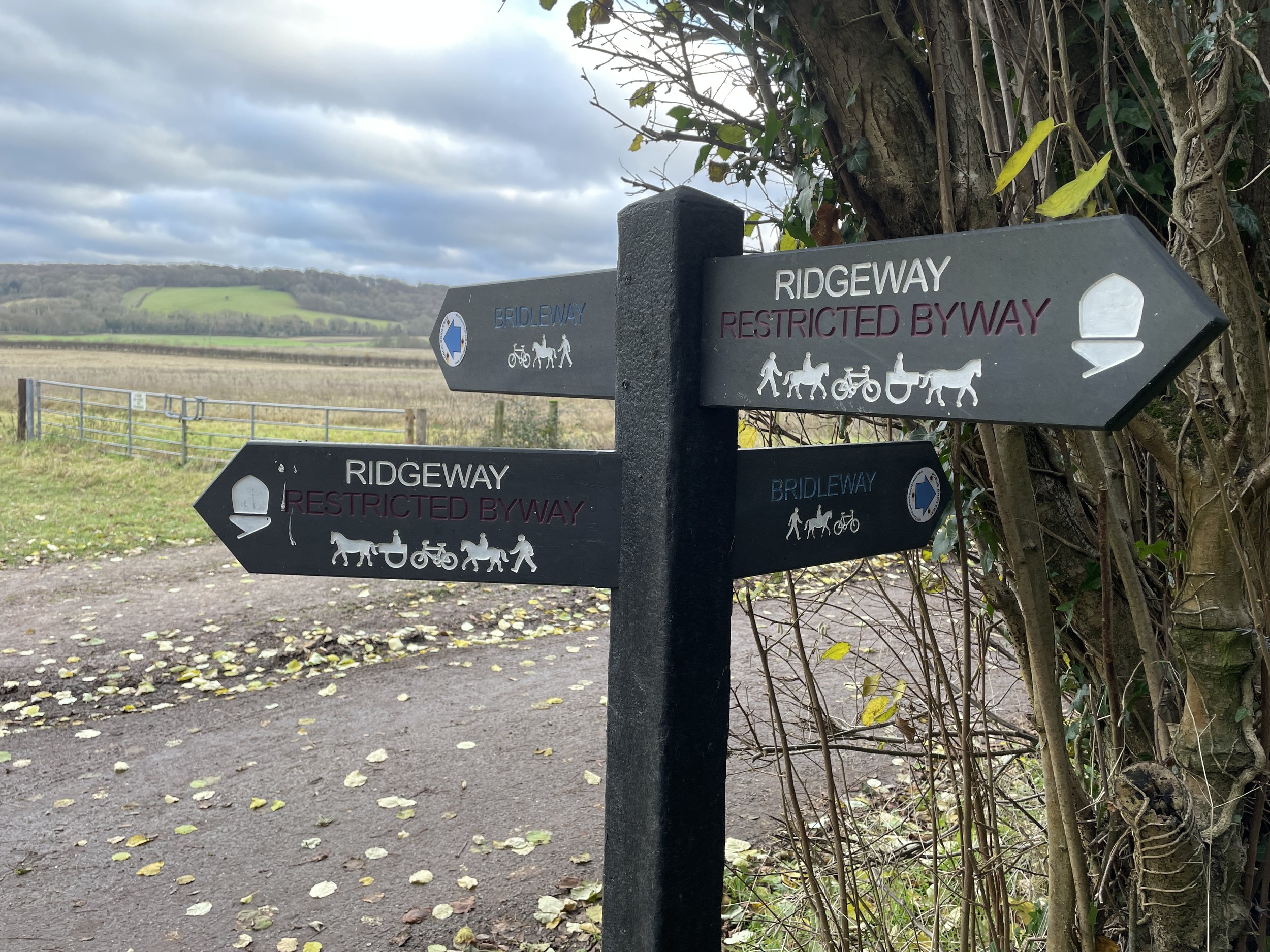
Other routes touched (walk): The Ridgeway, The Chiltern Way, Shakespeare’s Way
Other routes touched (cycle): Chiltern Cycle Route
Pubs / Cafes on route: None
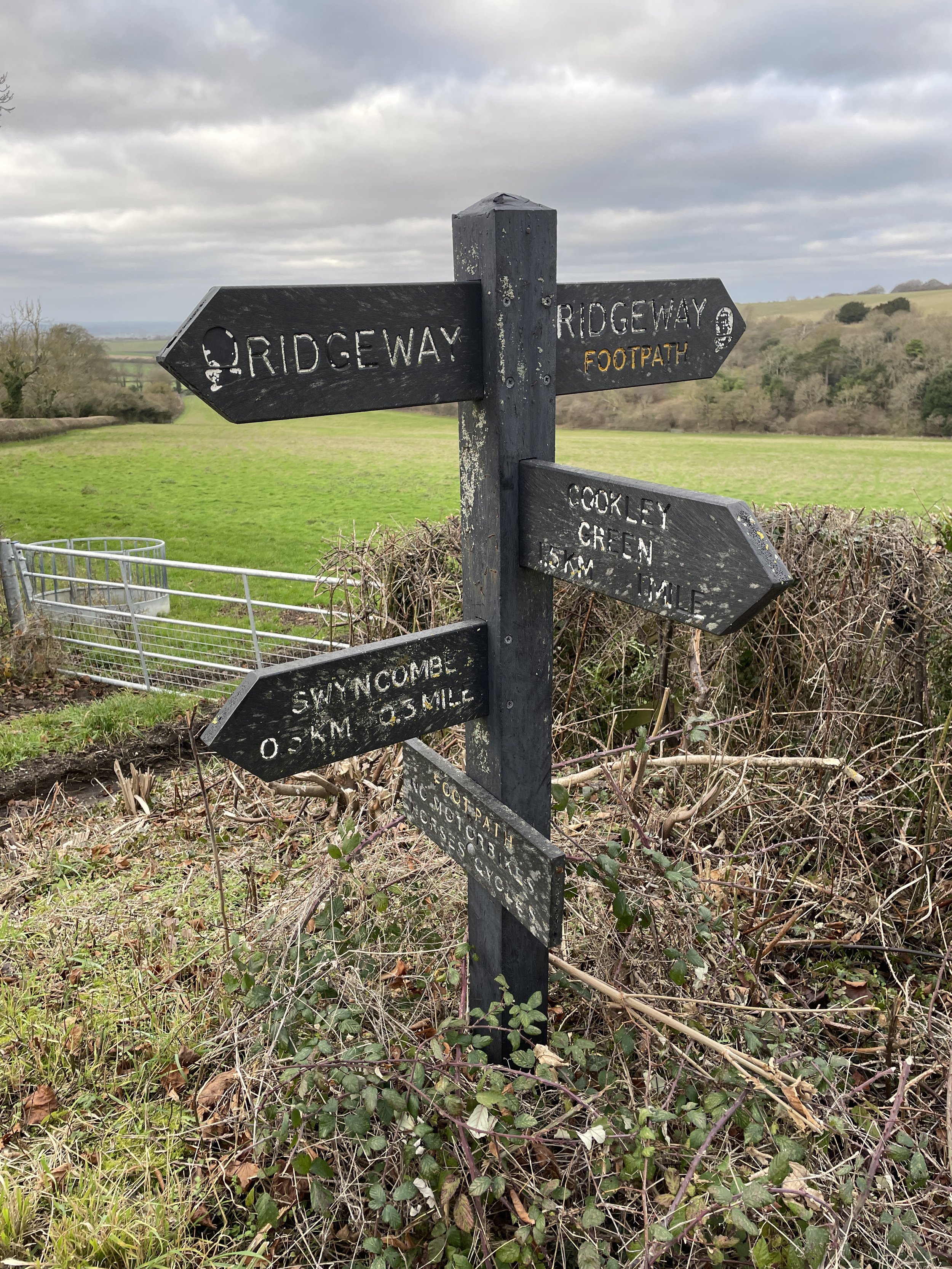
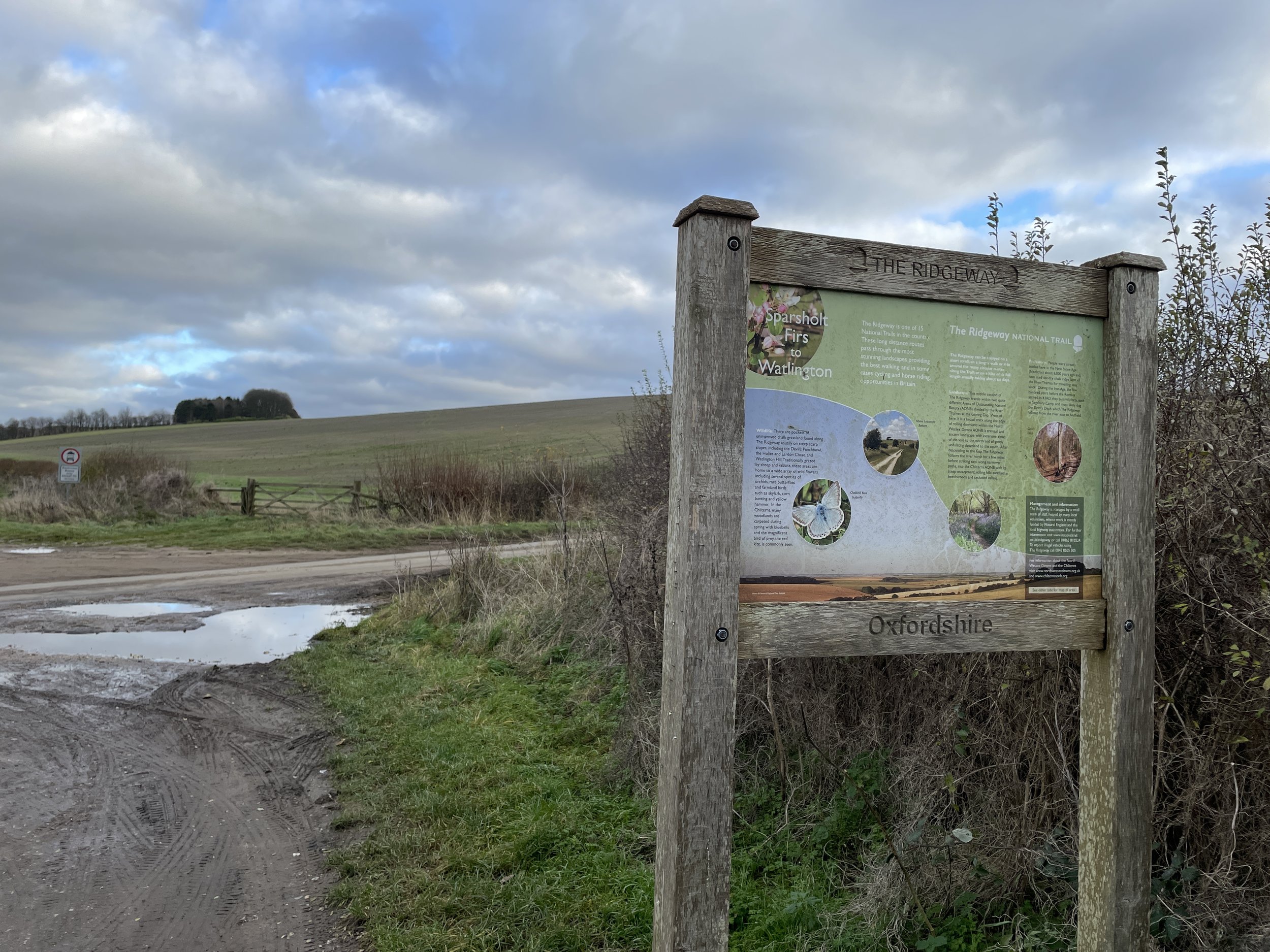
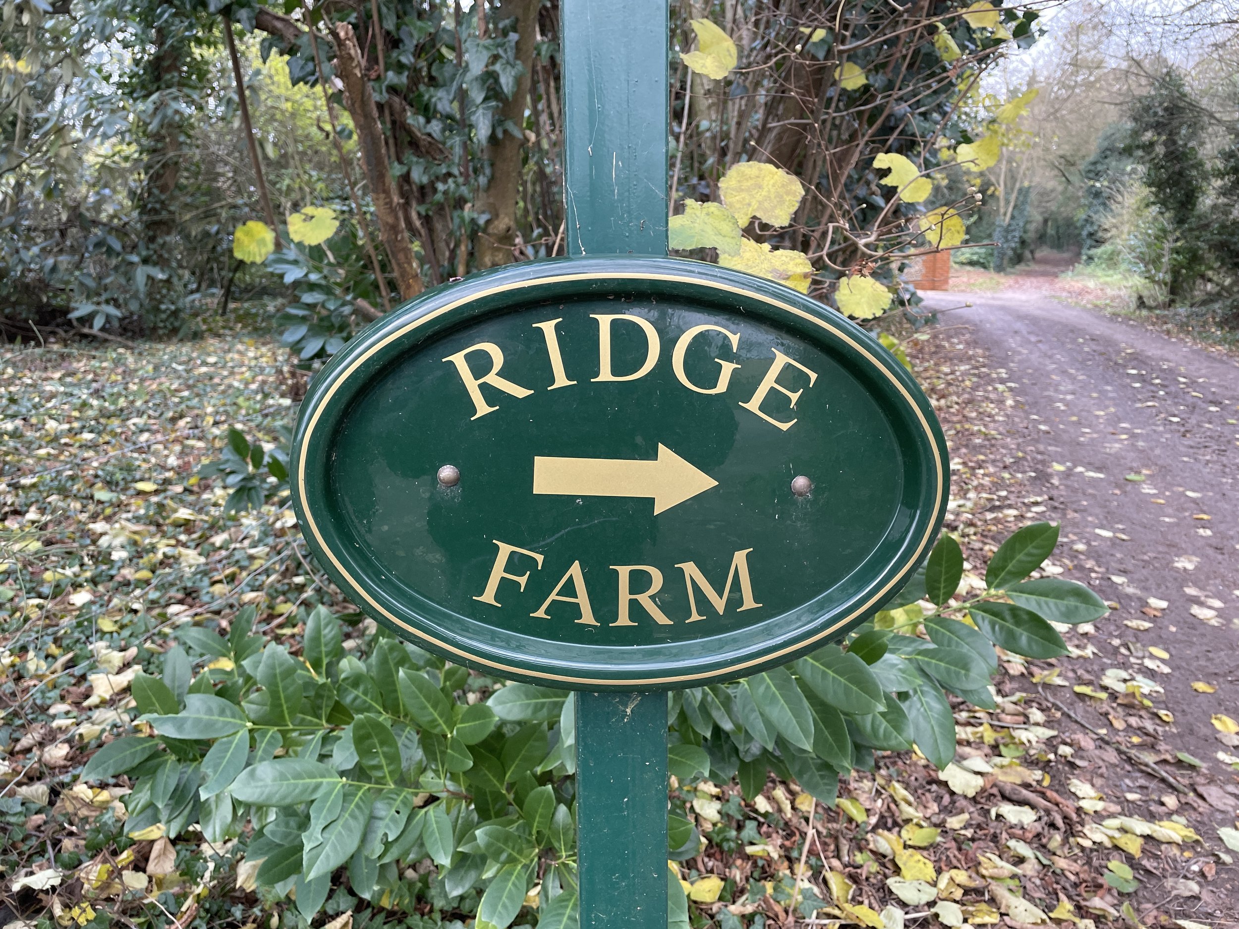
From St Botolph's Church follow The Ridgeway in a northerly direction for 3.7 km to meet the junction with the Shakespeare’s Way at Ridge Farm. Take a right to follow the Shakespeare’s Way for 3 km to Cookley Green. At Cookley Green take a right onto Church Lane to follow The Chiltern Way back to the start at St Botolph's Church.
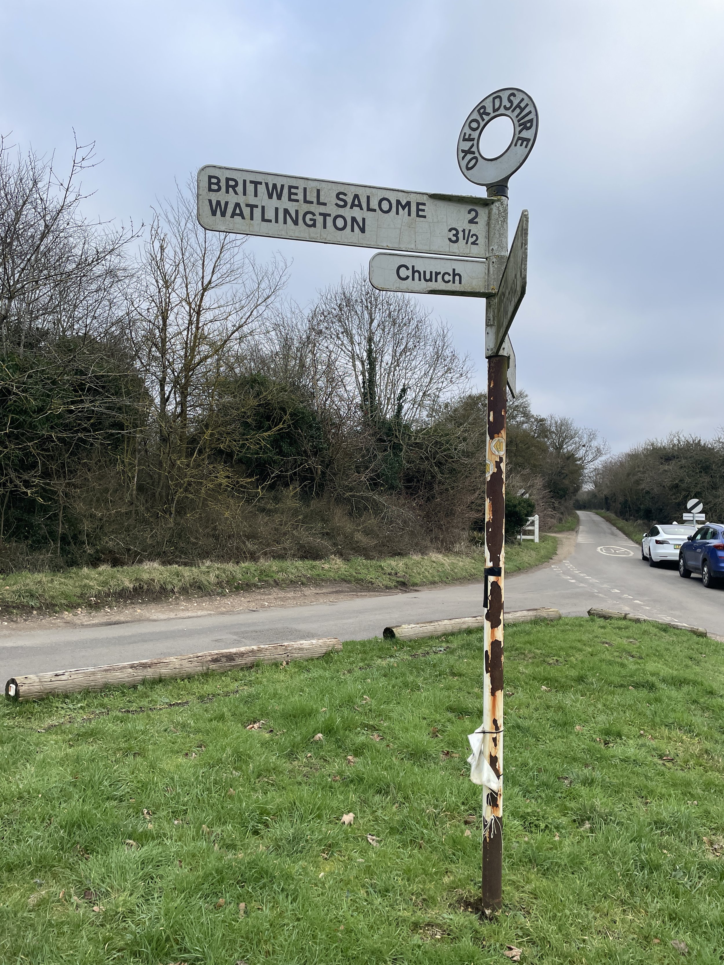
Shakespeare’s Way previous section (north): Britwell Salome and Lower Warren
Shakespeare’s Way next section (south): Swyncombe & Park Corner (scroll down)


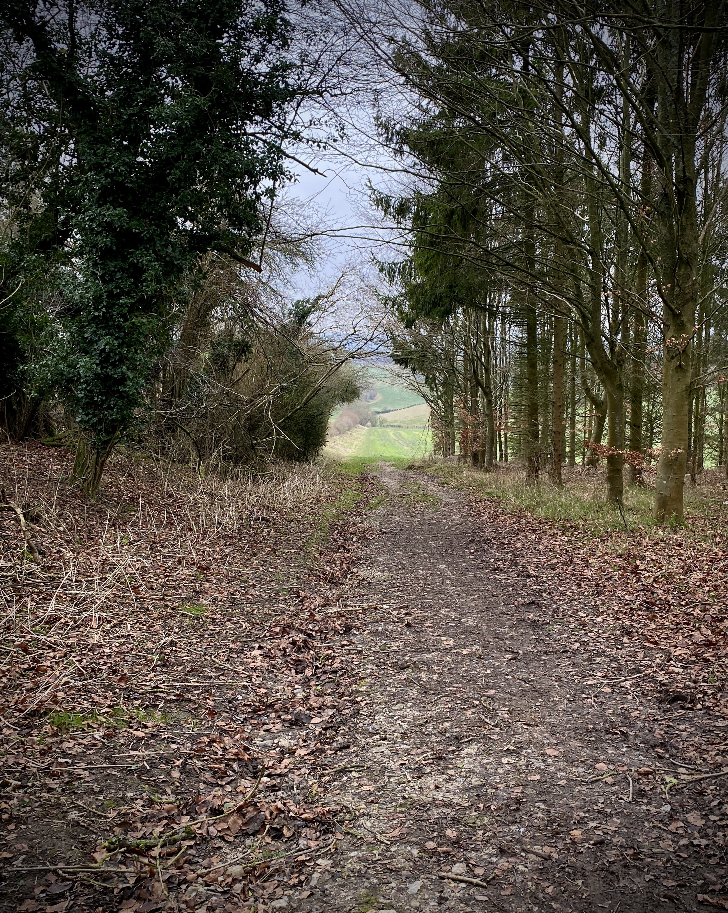
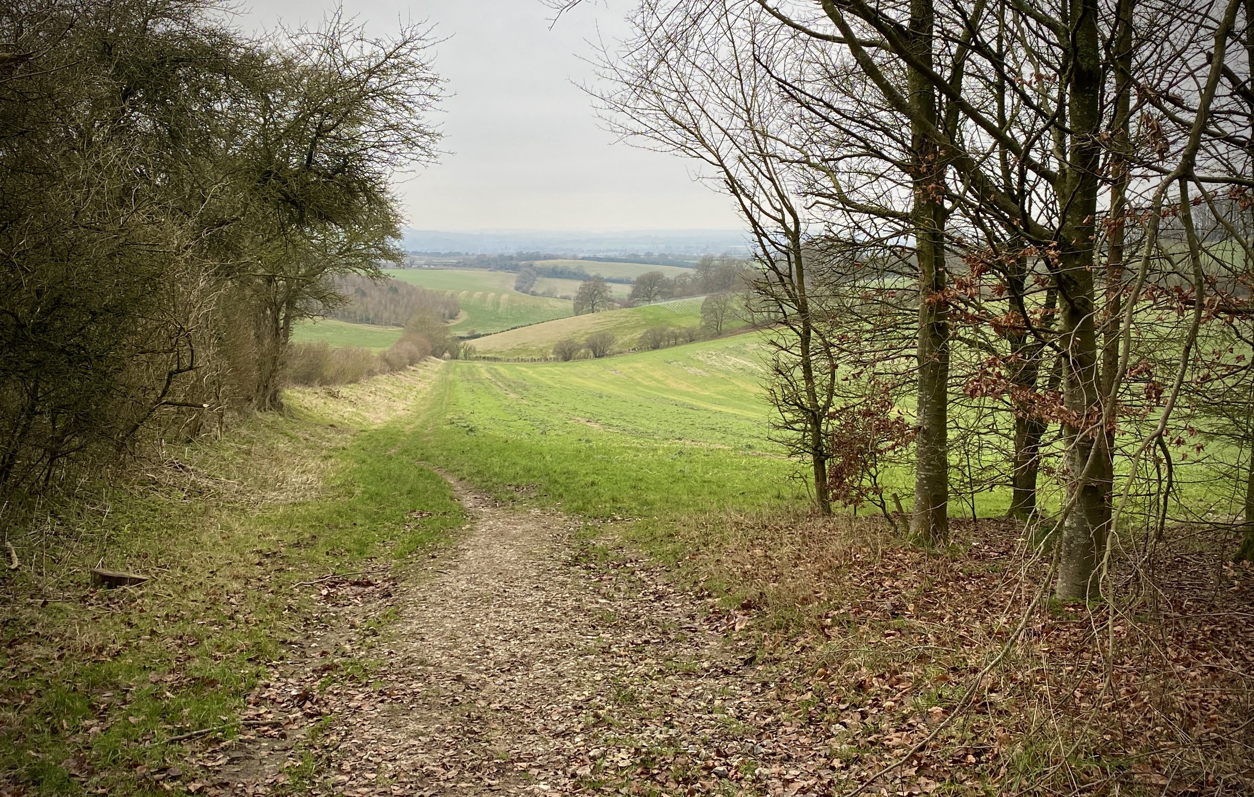
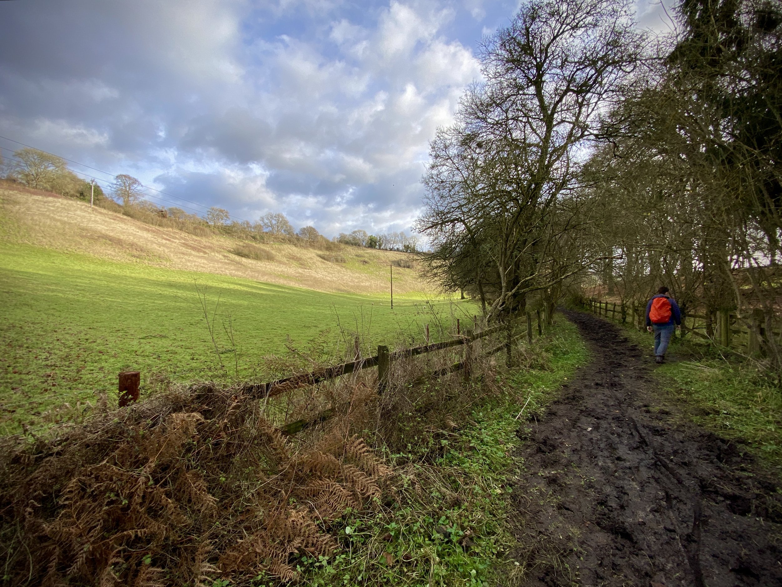
Route 2: Swyncombe and Park Corner
Distance: 9.9 km (6.2 miles)
Elevation change: +/- 199m
Shakespeare’s Way section covered: Cookley Green to The Chiltern Way near Maidensgrove: 2.1 km
GPX File: get via Buy Me a Coffee
Other routes touched (walk): The Ridgeway, The Chiltern Way, Shakespeare’s Way
Other routes touched (cycle): Chiltern Cycle Route
Pubs / Cafes on route: None
From the southern side of St Botolph's Church follow The Chiltern Way in an easterly direction for 2.7 km to the Chiltern Way/Shakespeare’s Way path junction just west of Russell’s Water. Continue south for 800m to meet another Chiltern Way/Shakespeare’s Way path junction just west of the Five Horseshoes pub. Take a right to follow The Chiltern Way in a westerly direction for 3.9 km, passing through Park Corner, to reach The Ridgeway. Take a right onto The Ridgeway to follow it in a northerly direction back to the start at St Botolph's Church.
Shakespeare’s Way previous section (north): Swyncombe & The North (scroll up)
Shakespeare’s Way next section (south): Nettlebed, Park Corner and Maidensgrove


Route 3: Swyncombe and Ewelme
Distance: 10.7 km (6.6 miles)
Elevation change: +/- 232m
GPX File: get via Buy Me a Coffee
Other routes touched (walk): The Ridgeway, The Chiltern Way
Other routes touched (cycle): Chiltern Cycle Route
OS Trig Pillar: TP4072 - Huntingland
Pubs / Cafes on route: None
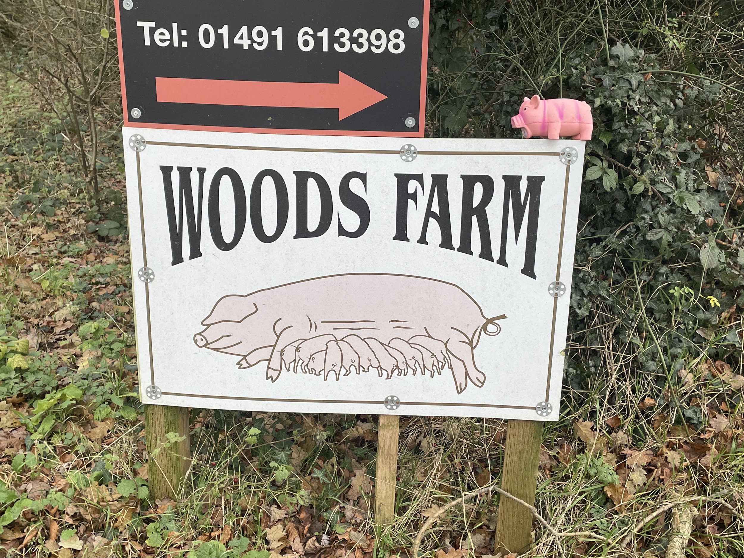
From St Botolph's Church follow The Ridgeway in a south-westerly direction for 1.5 km to a path junction before the manor house at Ewelme Park. Take a right on to this path heading north-west for 1 km to meet The Chiltern Way at a smelly pig-farm. Take a right to follow The Chiltern Way in a north-westerly direction to the outskirts of Ewelme village. Continue following The Chiltern Way for as it curves round to following an easterly direction connecting with The Ridgeway at Swyncombe Downs. Take a right to follow The Ridgeway (staying on The Chiltern Way too) back to the start at St Botolph's Church.
For OS Trig Pillar baggers, you can visit the Huntingland Trig Pillar which is just off The Chiltern Way at 7.2 km into this route. It’s in a field and easily accessible but best to visit in the winter when there’s no crops.