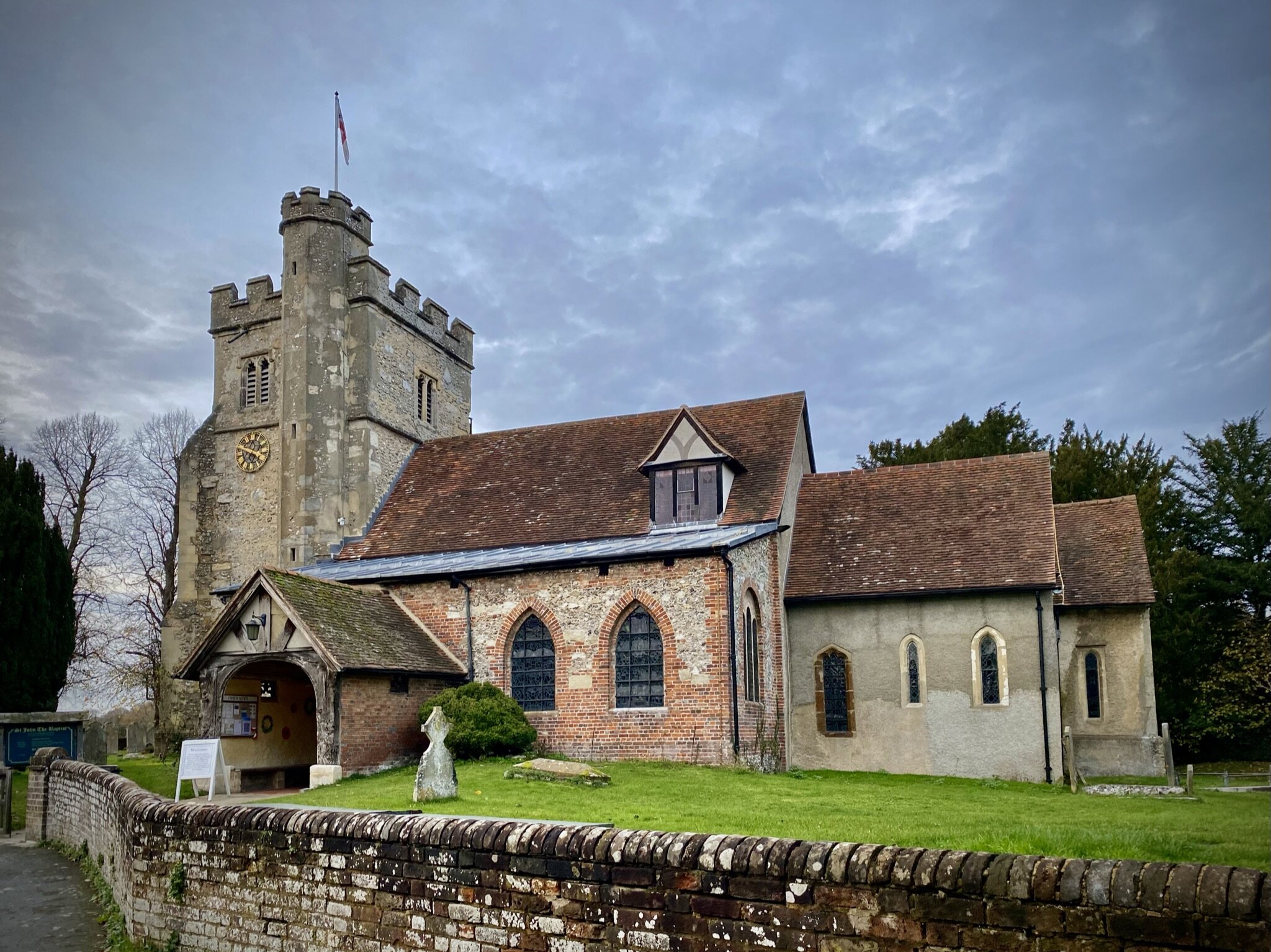
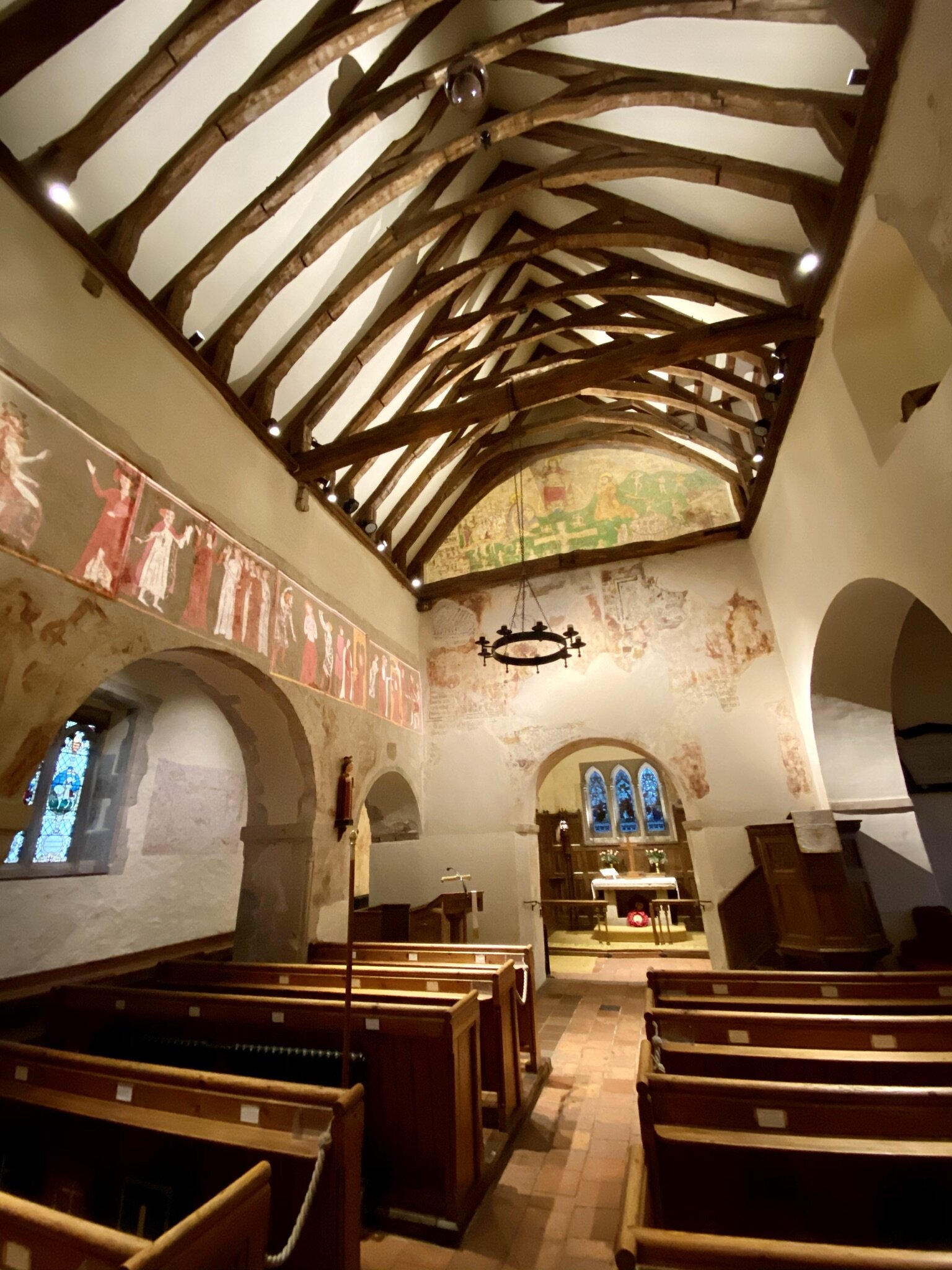
Chiltern Walks: Little Missenden and Shardeloes

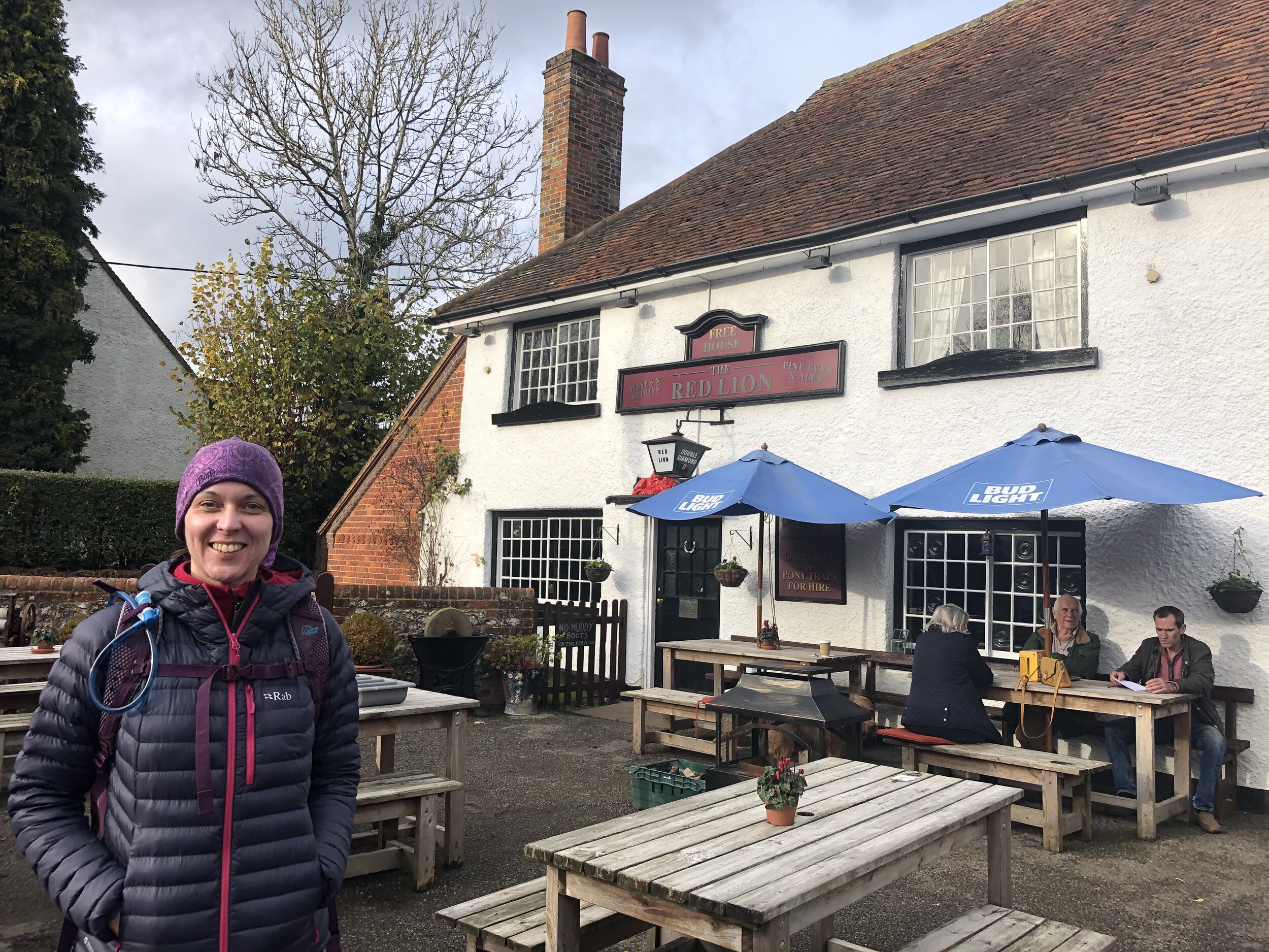
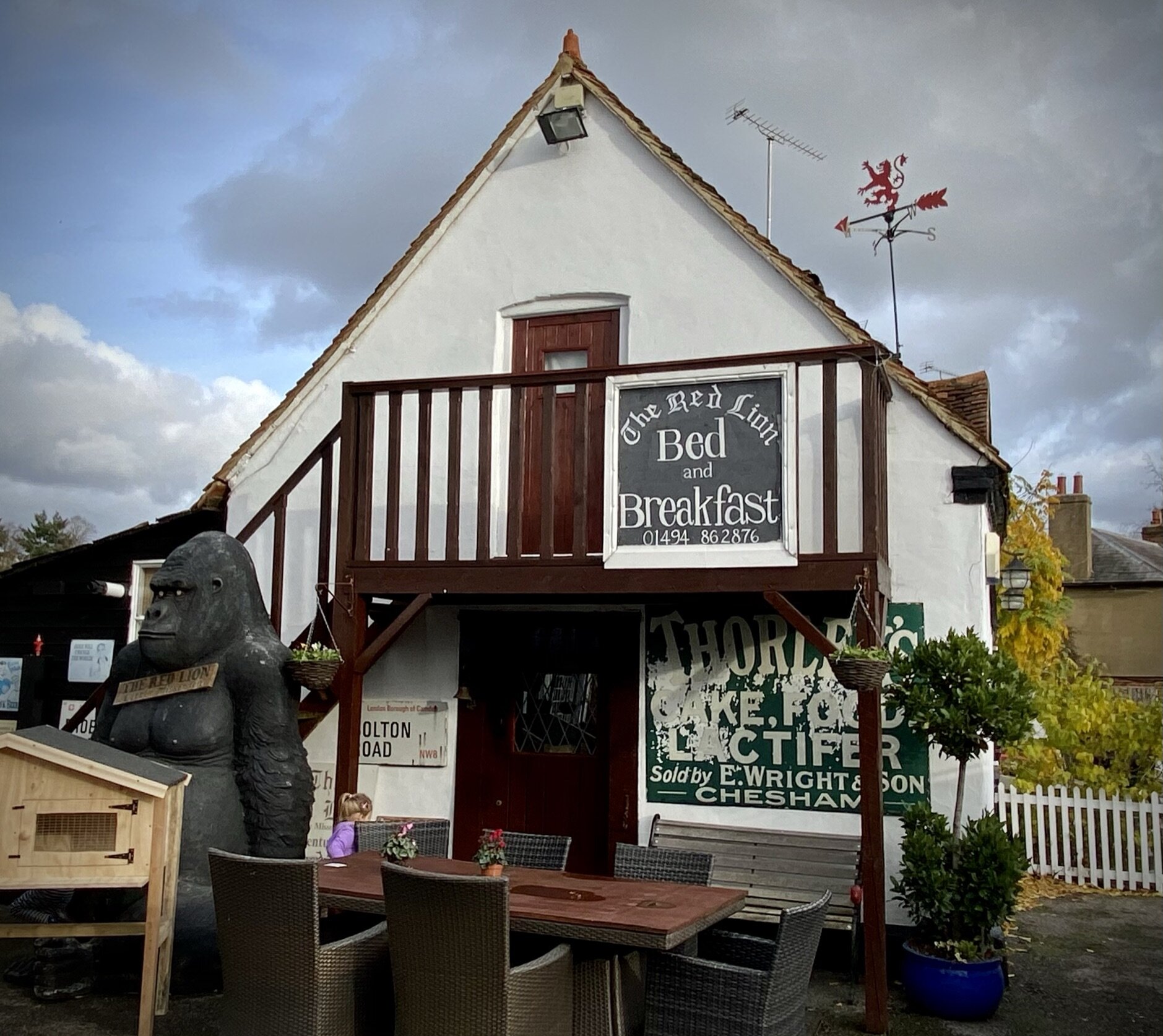
Start & Finish: The Red Lion, 1 Highmore Cottages, Little Missenden, Amersham, HP7 0RB
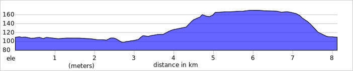
Distance: 8.1 km (5.0 miles)
Elevation change: +/- 74m
South Bucks Way section covered: Little Missenden to Shardeloes: 2.84 km
GPX File: get via Buy Me a Coffee
Other routes touched (walk): Chiltern Heritage Trail, South Bucks Way
Other routes touched (cycle): Chilterns Heritage Trail: Hampden Route
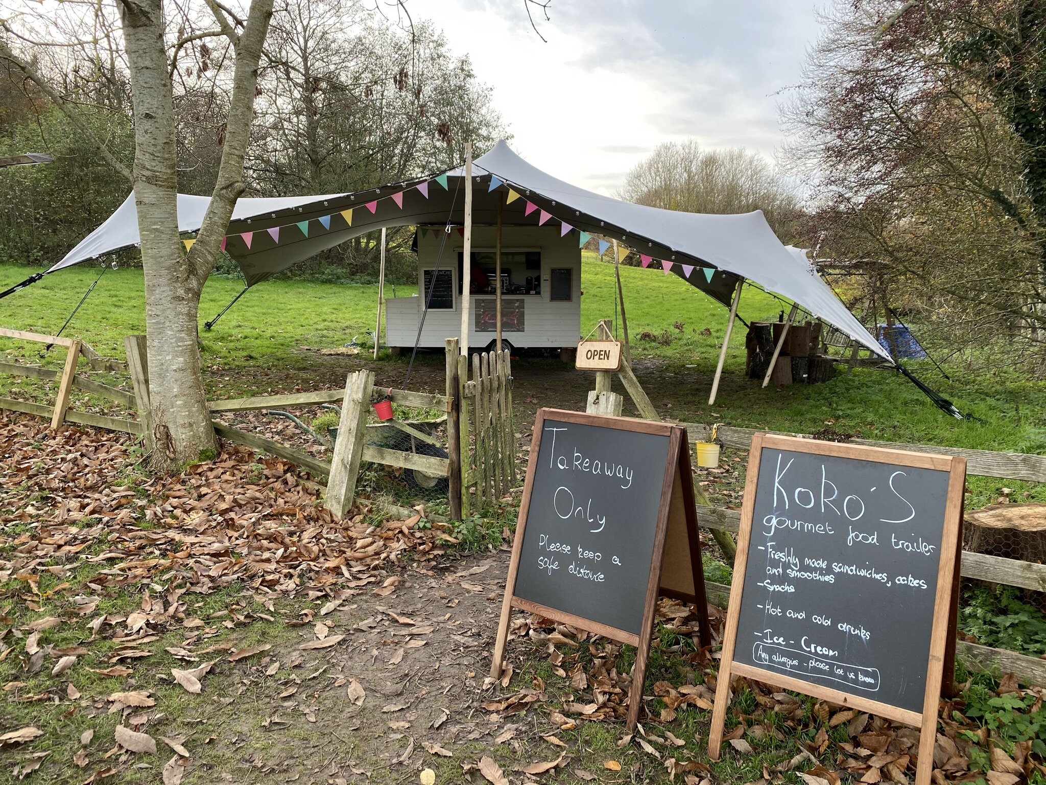
Pubs / Cafes on route: The Red Lion and The Crown Inn at the start and end in Little Missenden and Koko’s Food Truck (2.5 km in)
Map: OS Explorer Map (172) Chiltern Hills East
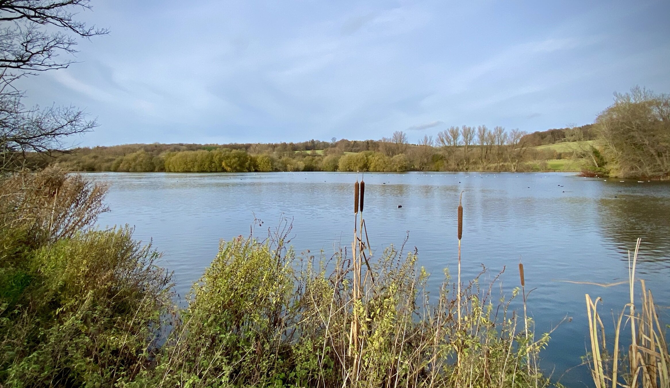
Links: River Misbourne, Little Missenden, Shardeloes
The South Bucks Way is a 37 km (23-mile) trail that promises a delightful escape for walkers and hikers. This scenic route, often overshadowed by its more famous counterparts, offers a tranquil journey through charming villages, lush countryside, and the gentle murmur of the River Misbourne. This post is part of a series of circular walks featuring the South Bucks Way. The full trail stretches from Coombe Hill near Wendover to the Grand Union Canal at Denham. Our walks take in short sections of the South Bucks Way and loop back to the start on other paths. The South Bucks Way is well sign-posted however you’ll need a map or GPX route to keep on track for the return sections of the loops. The guidance below will help but don’t use it as a fully accurate turn-by-turn guide.
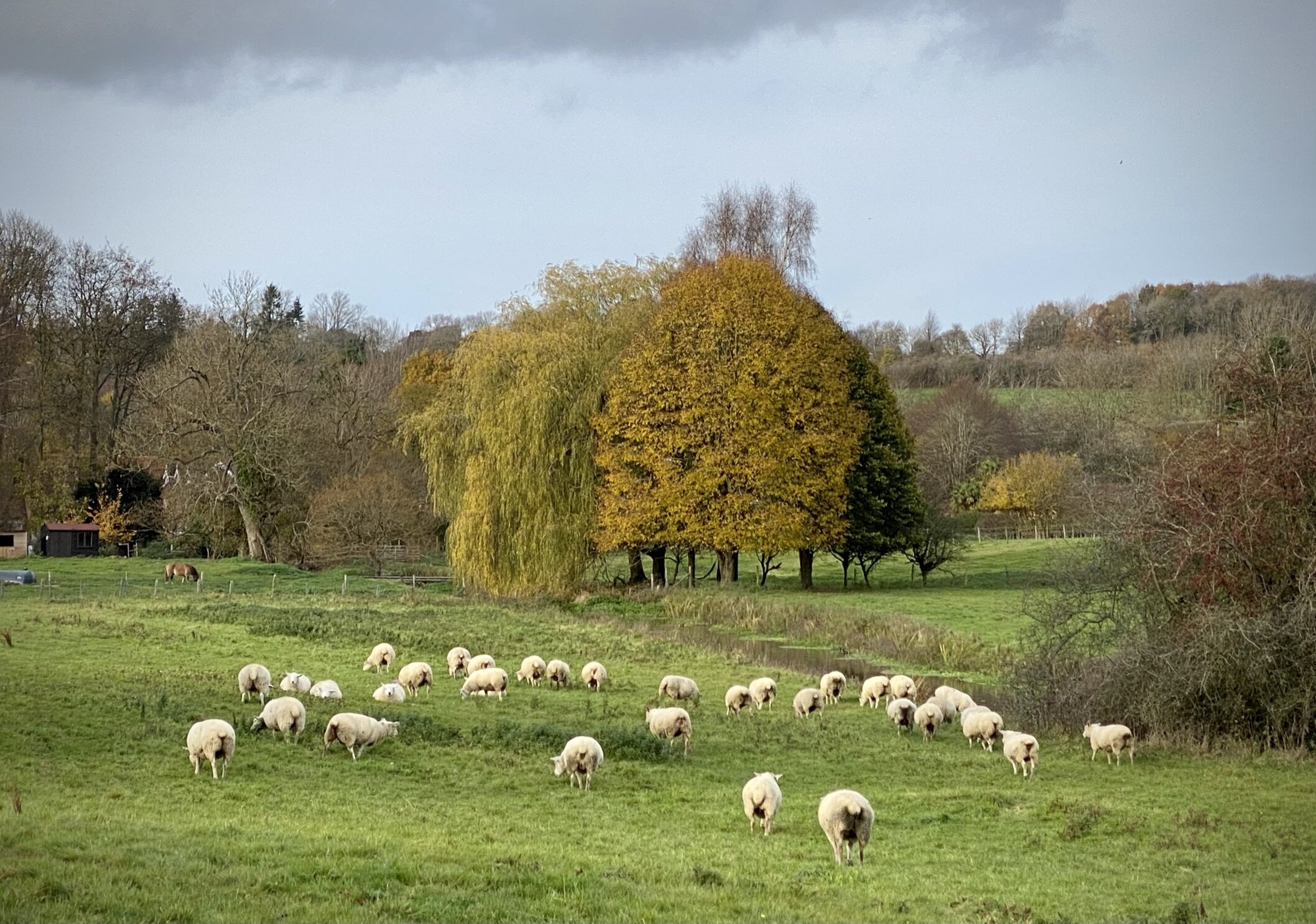
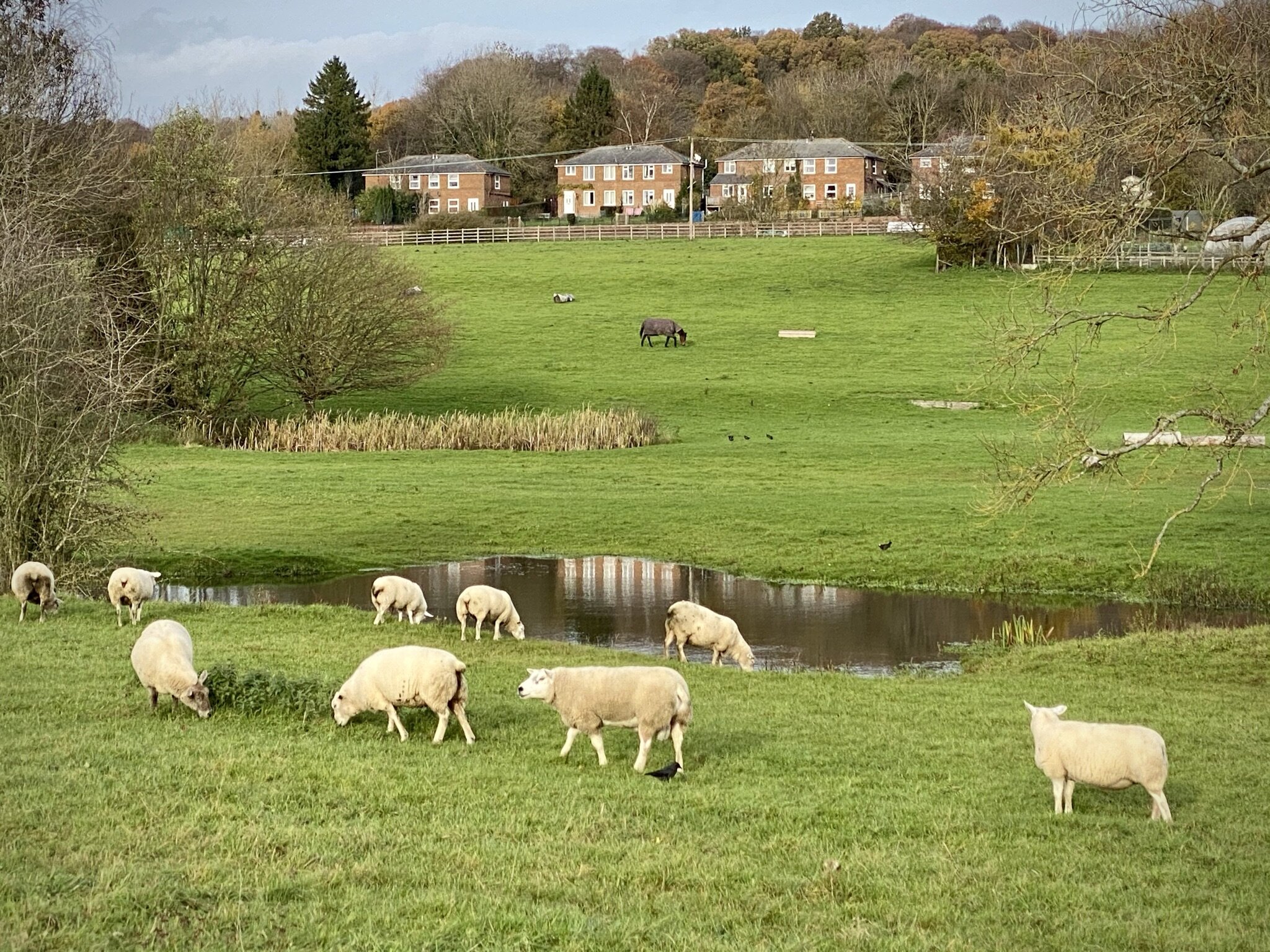
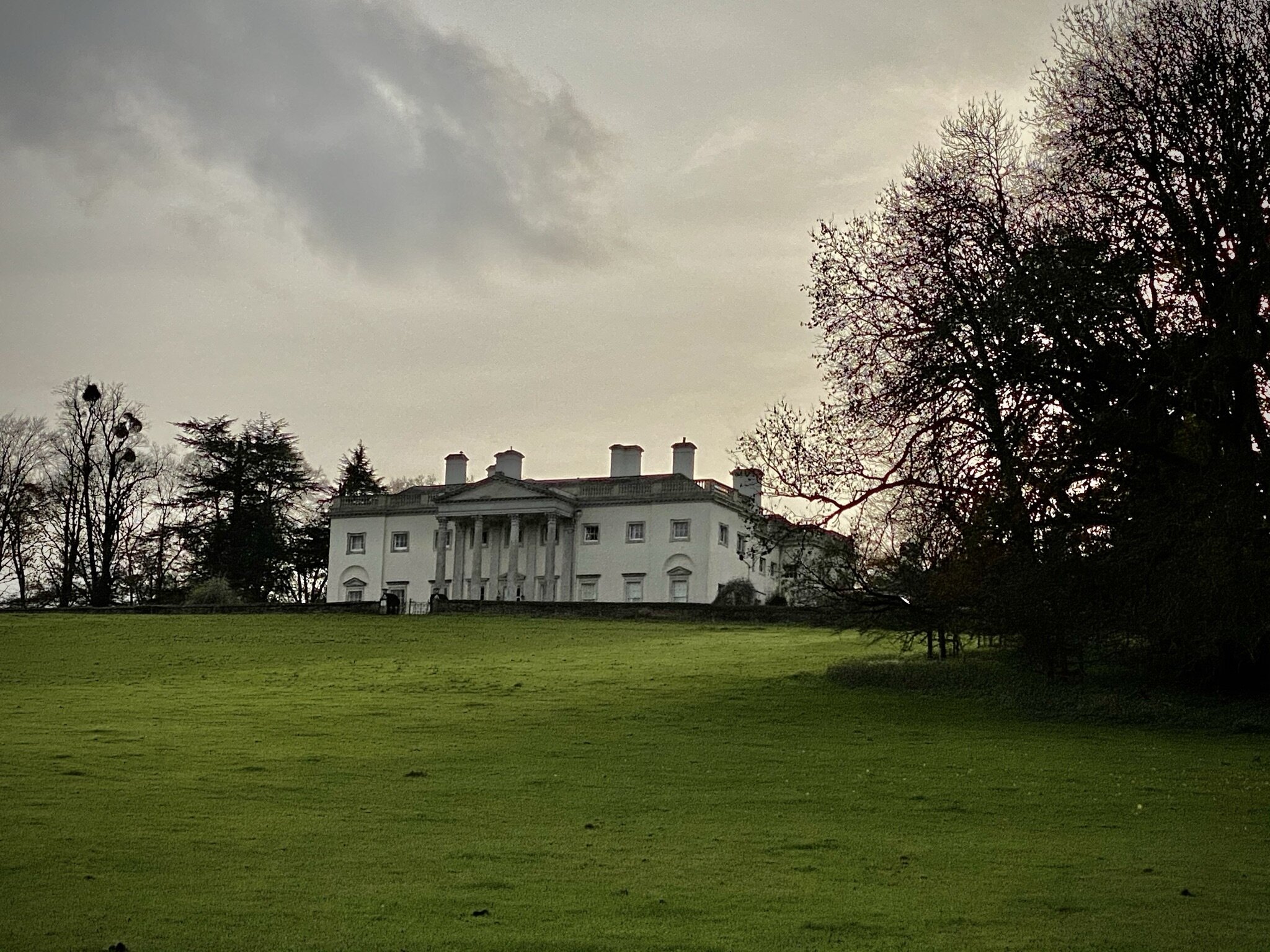
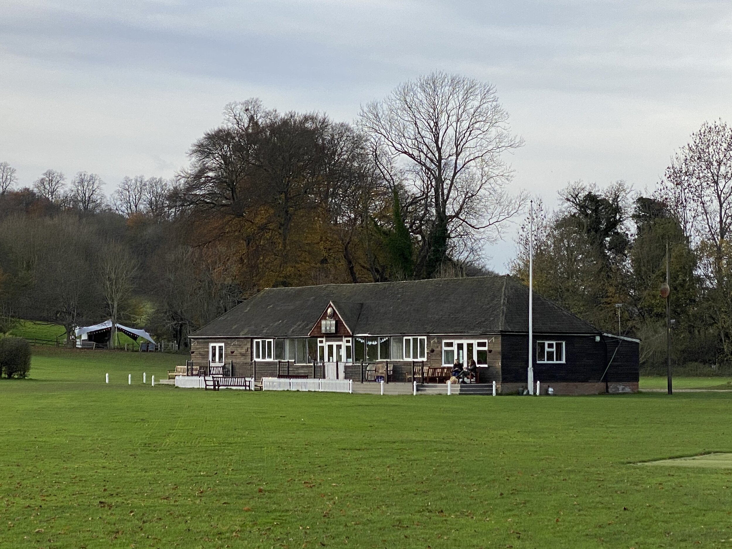
From the Crown Inn in Little Missenden Village Centre, walk east along Highmore Cottages road, taking the South Bucks Way footpath when the road curves left toward the A413. You’ll now be on an easily navigable path parallel to the Misbourne through fields and into the Shardeloes Estate. At the entrance to the Cricket Ground take a right onto the driveway (leaving the South Bucks Way) up to Shardeloes house and look for the footpath on the left about 300m up the drive. There’s 2 paths here and you’ll need to take the right hand one heading in a south-westerly direction. This is another long, straight path with few options to get lost.
Just over 2 km from the Shardeloes Drive you’ll cross Mop End Lane and into a farmer’s field. Cross this until you meet The Chiltern Way on Toby’s Lane. Take a right onto Toby’s Lane and follow it as it descends back down to Highmore Cottages. An alternative to continuing all the way down Toby’s Lane is to take the footpath that crosses diagonally across a field to Beamond End Lane. It doesn’t save much distance or elevation but you do get a good view of the village.

South Bucks Way previous section (north): Little Kingshill and Little Missenden
South Bucks Way next section (south): Amersham, Winchmore Hill and Penn