Chiltern Walks: Heronsgate and Bottom Wood

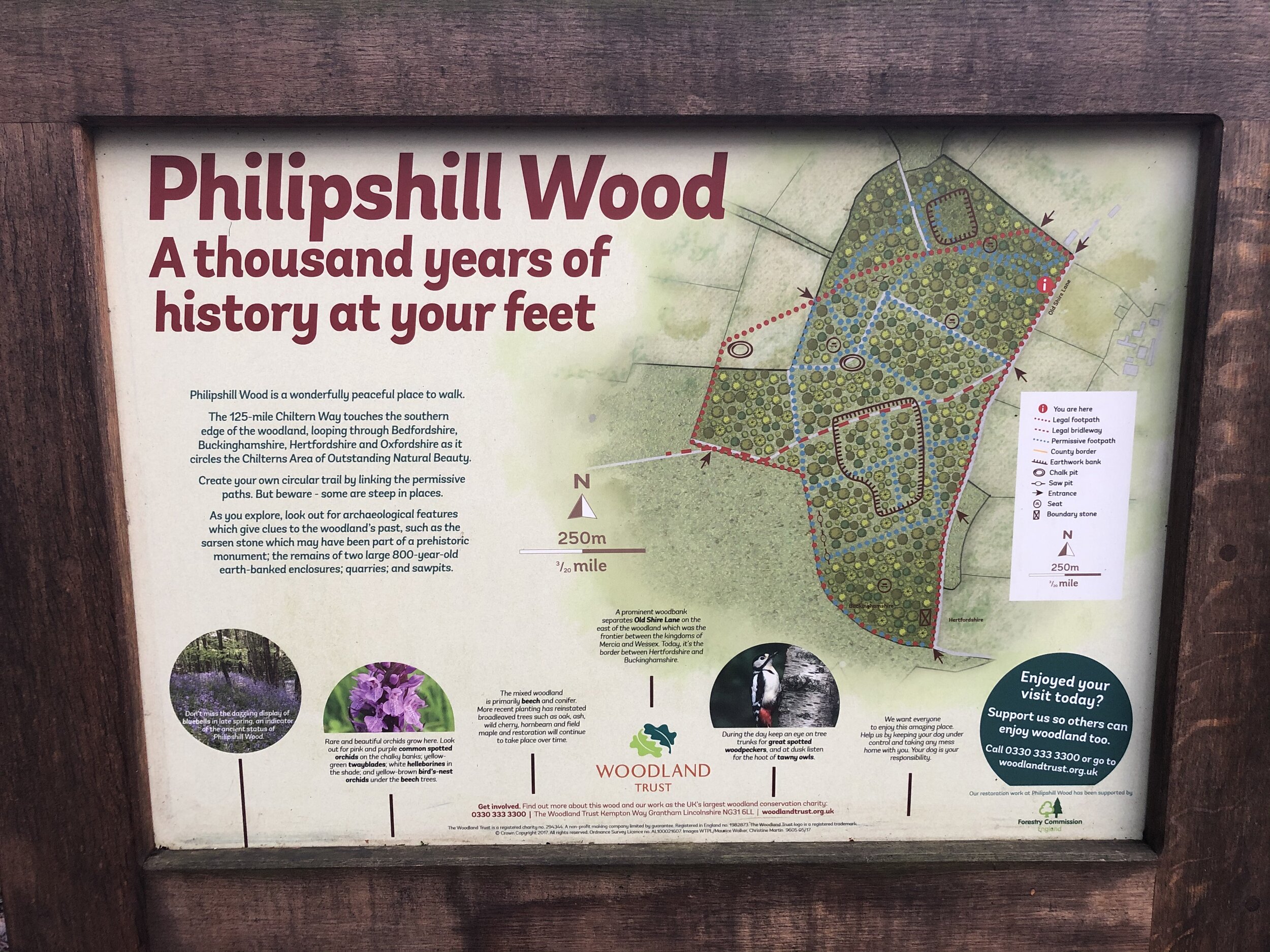
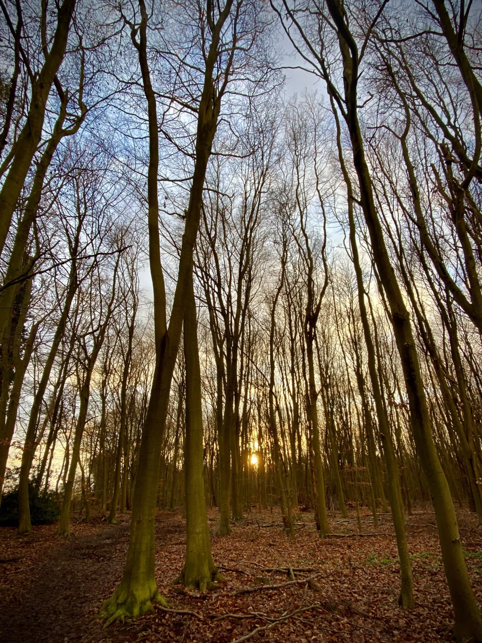
View east from Philipshill Wood
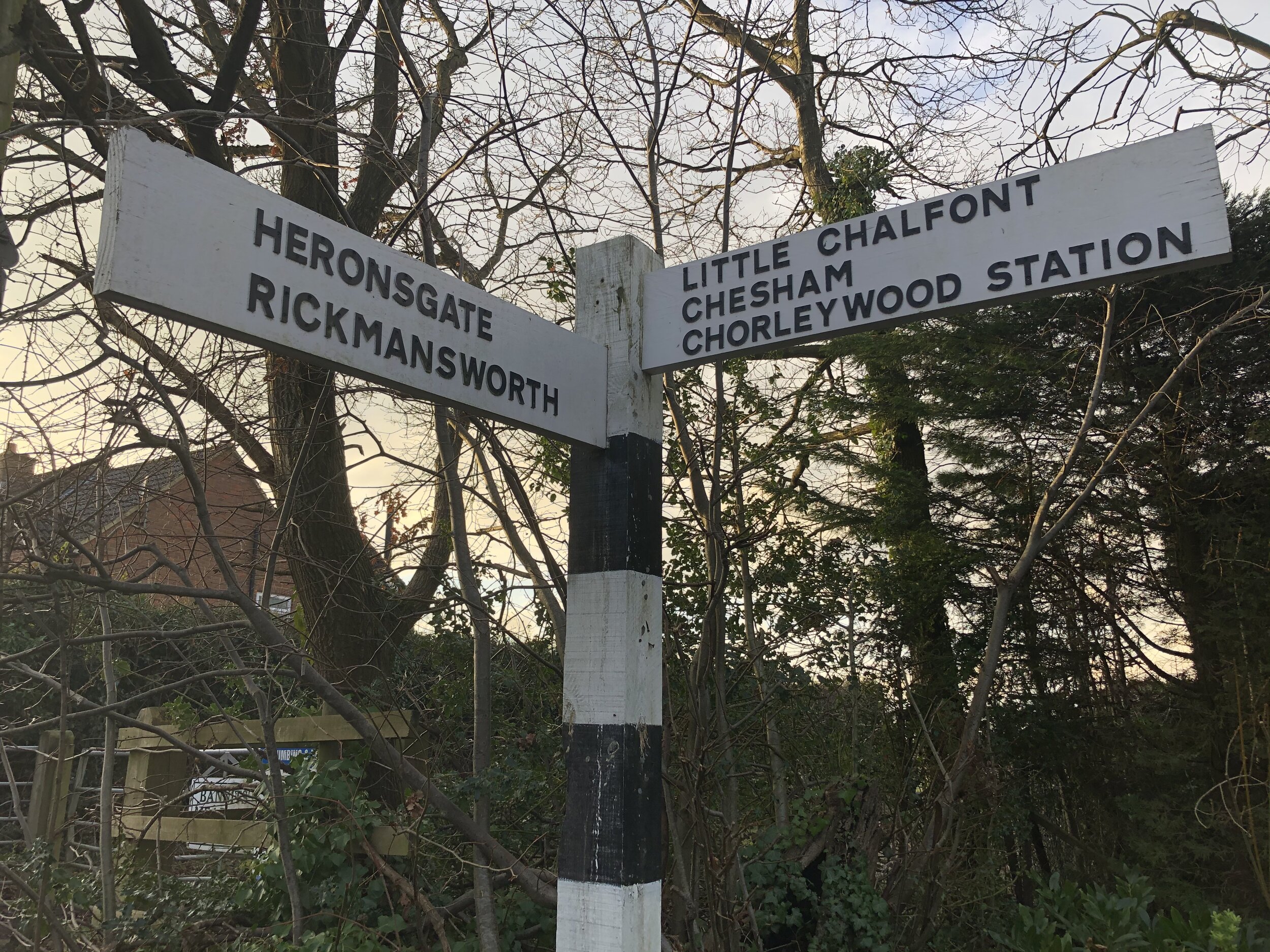
Start & Finish: The Stag, Long Lane, Heronsgate, WD3 5BT
Distance: 6.5 km (4 miles)
Elevation change: + / - 82m
GPX File: get via Buy Me a Coffee
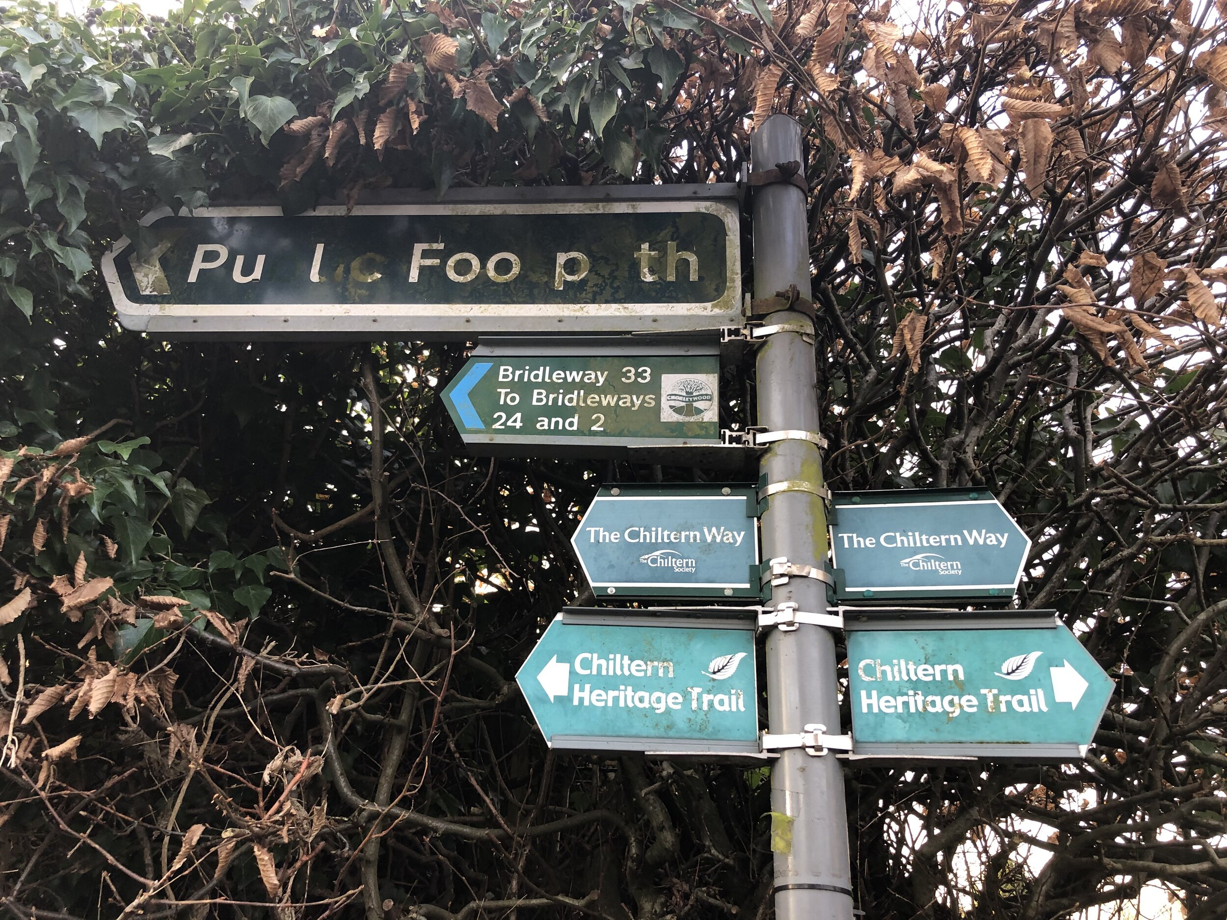
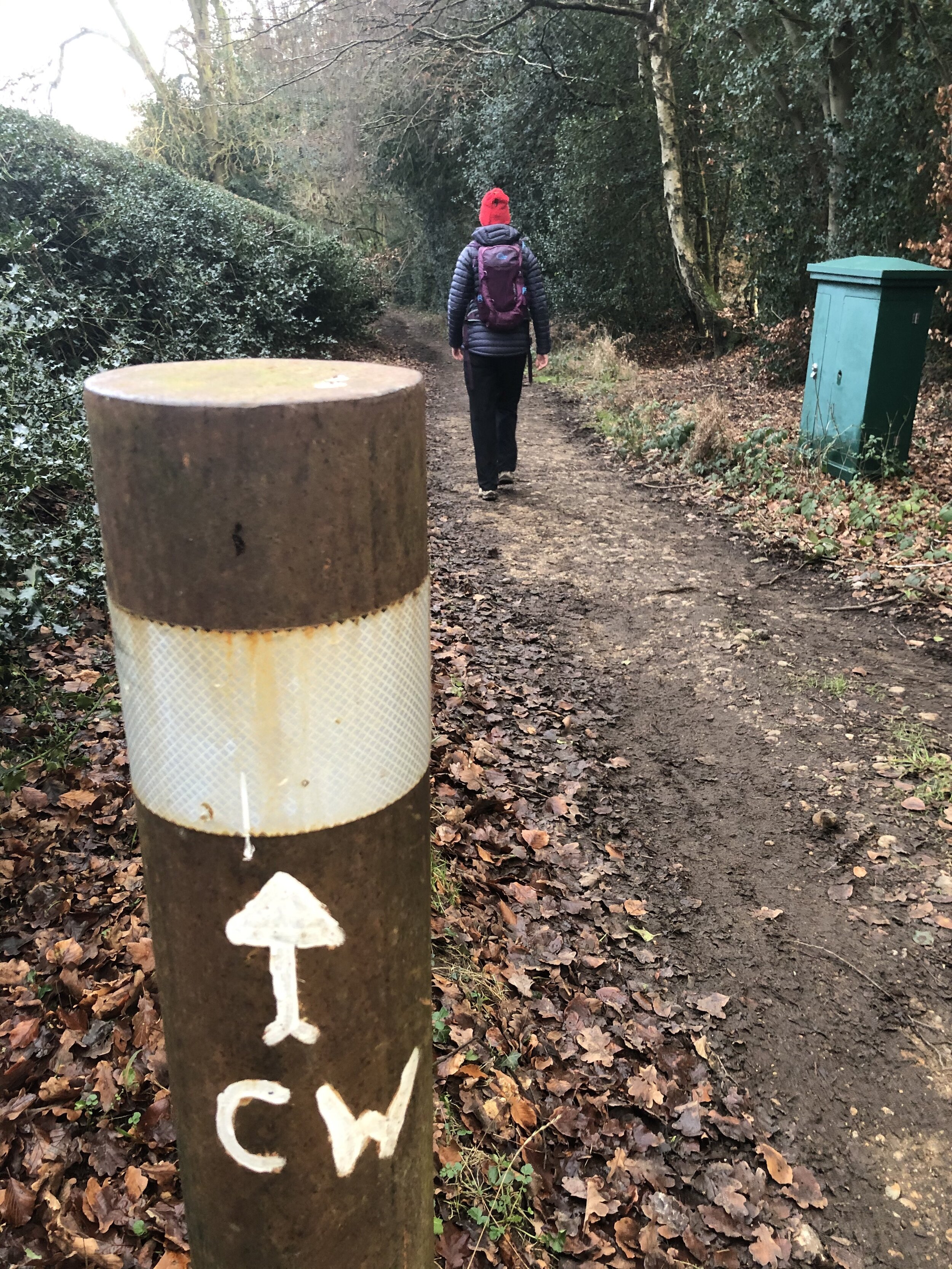
Other routes touched (walk): Chiltern Way, Chiltern Heritage Trail, South Bucks Way
Other routes touched (cycle): Chiltern Heritage Trail Milton Route
Pubs / Cafes on route: The Stag, Heronsgate
Map: OS Explorer Map (172) Chiltern Hills East
Links: Heronsgate, Philipshill Woods, Newlands Park
A short walk in the eastern Chilterns, touching parts of our previous walk from Chalfont St Giles to Newlands Park. We started from The Stag pub in Heronsgate, but Chorleywood station is not far and only adds a short distance if you’re coming in by train. The guidance below will help you navigate but don’t use it as a fully accurate turn-by-turn guide. Always take a map and/or a GPX route and prepare well for the weather and terrain.
From The Stag cross over Long Lane and walk along Stag Lane in a north easterly direction. Take a left onto Rendlesham Way and follow it to Quickley Lane. Take a right then immediately left onto Burfield Road. At the T-junction take a left onto Shire Lane. Walk along Shire Lane in a south-westerly direction then onto Old Shire Lane. The Chiltern Way section of the route follows Old Shire Lane along the edge of Philipshill Wood. This ancient trackway is “is thought to mark part of the boundary between the Anglo-Saxon kingdoms of Wessex and Mercia” (Wikipedia).
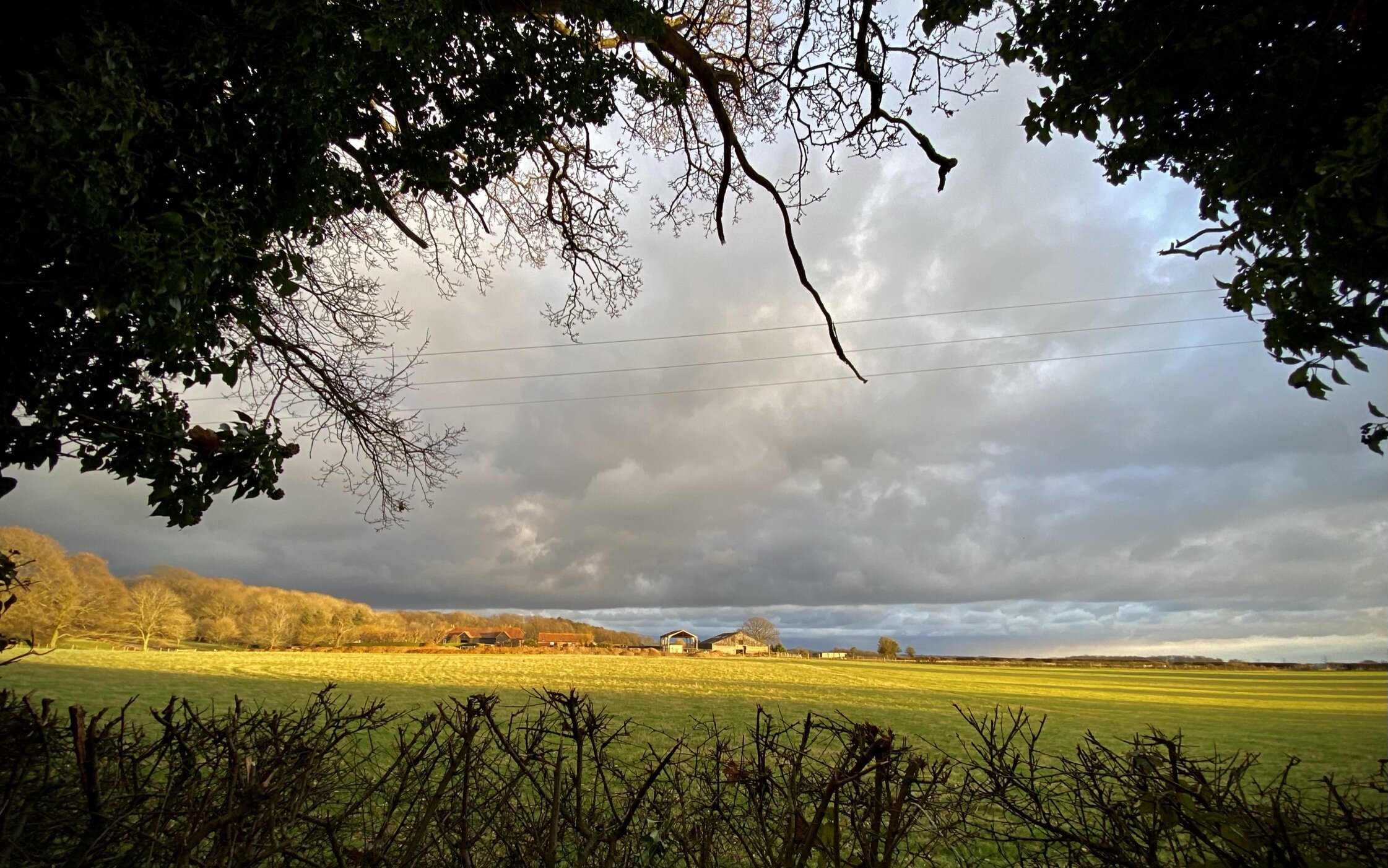
Continue along old Shire Lane until you reach a T-junction in the path at the northern end of the Chiltern Open Air Museum. Take a left to continue along Old Shire Lane following the boundary of the Open Air Museum and Newlands Park. At ~3.5 km into the walk take a left off Old Shire Lane to follow a path heading east. After 400m take a left to cross through Bottom Wood. Exit Bottom Wood and continue east across the field towards the M25. When you reach the path at the edge of the Heronsgate Woods take a left to follow the Heronsgate boundary back to The Stag.