Chiltern Walks: Great Missenden and Ballinger

Descent to Great Missenden from The Hyde
Start / Finish: Great Missenden Station, HP16 9WH
Alternative Start / Finish: Link Road Car Park, Great Missenden, HP16 9AE
Distance: 9.8 km (6 miles)
Elevation Change: +/- 113m
Chiltern Heritage Trail Section Covered: Buryfield Car Park to Ballinger Common: 3 km
GPX File: get via Buy Me a Coffee
Other Routes Touched (walk): Chiltern Heritage Trail, South Bucks Way
Other Routes Touched (cycle): Hampden Route, NCN 57
Pubs / Cafes on route: Several in Great Missenden
Map: OS Explorer Map (181) Chiltern Hills North
Links: Great Missenden, Great Missenden Station, Ballinger
This is a ~10k circuit of farmland and small villages to the North East of Great Missenden. The steep sections are confined to the start and end with a relatively flat middle section. We had lovely classic Chilterns views even on an overcast January day. We’ll likely be back in the Spring for another go too. The guidance below will help you navigate but don’t use it as a fully accurate turn-by-turn guide. Always take a map and/or a GPX route and prepare well for the weather and terrain.
The route is also part of a series of 17 walks that, between them, cover the 83 km of the Chiltern Heritage Trail. Created as a Millennium project, this trail links the towns and parishes within the district, offering stunning scenery, charming villages, and points of historical interest.
** Note that when we did this walk the HS2 works were getting ready to be built on the eastern side of the A413. We noticed some footpath diversion signs and it’s likely that the first section of this walk will be slightly different until the works are complete. Check current maps when you plan your version of this walk **
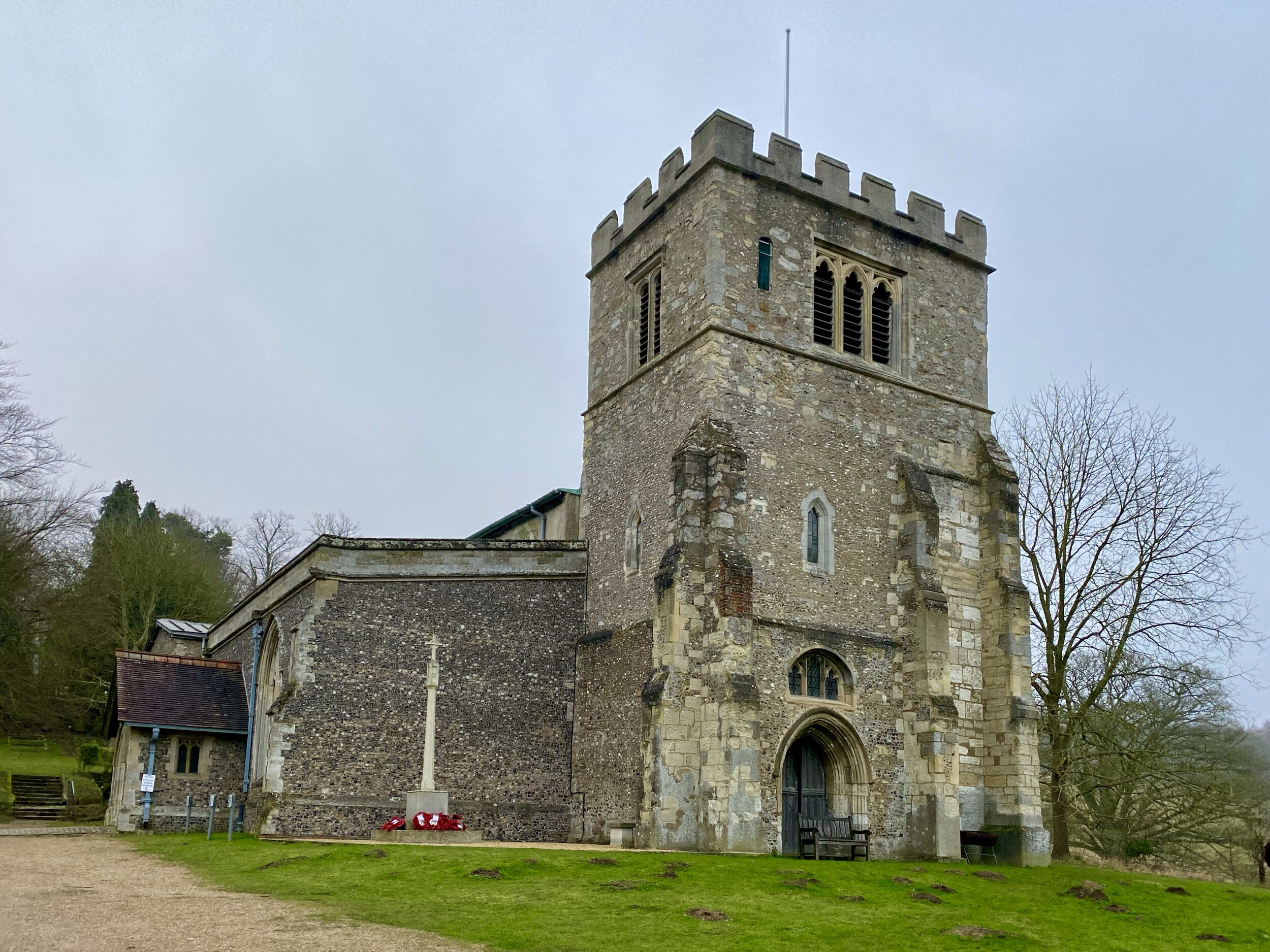
The Link Road Car Park is an obvious place to start and it’s also a very short walk from the train station. Although most of the walk is the other side of the busy A413, you don’t need to dodge the cars. There’s an underpass on the outward stretch and a bridge next to St Peter and Paul’s Church on the return.
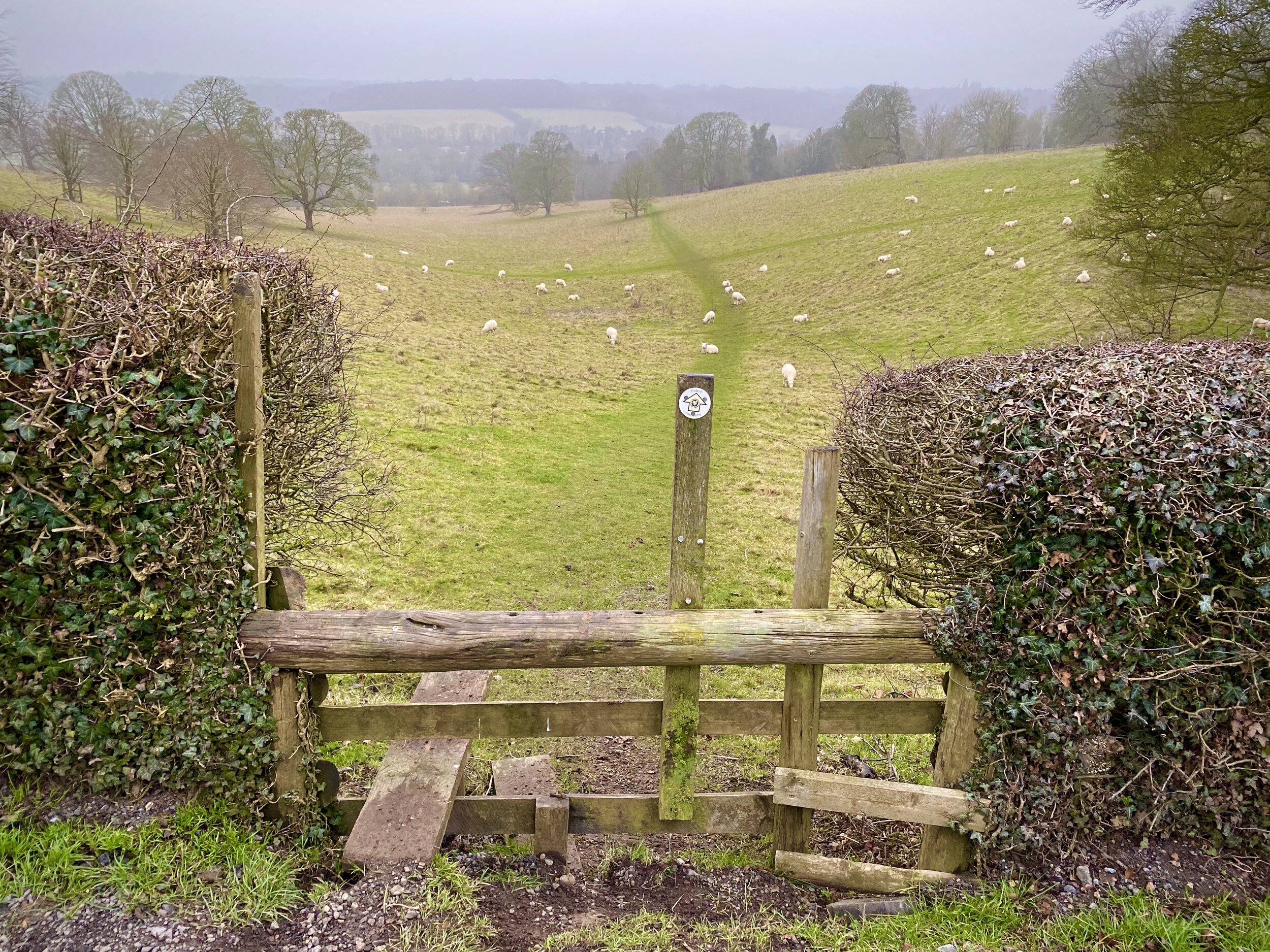
Much of the first 3 km is a steady climb north-east, passing Potter Row to Ballinger Common. At the War Memorial Hall on the East side of the Common you’ll head south along Ballinger Road. It's fairly quiet and you can walk on the grass verge on the left hand side of the road. When you see Ballinger Bottom take a footpath heading South diagonally across a field, bypassing the village. This will take you to the junction of Ballinger Road and Marriott’s Avenue. Take the footpath to the left of Marriott’s Avenue, heading south-east to a small wooded area at South Heath. On reaching the woodland, turn right and follow the footpath for approx 1 km to the B485 Frith Hill Road.
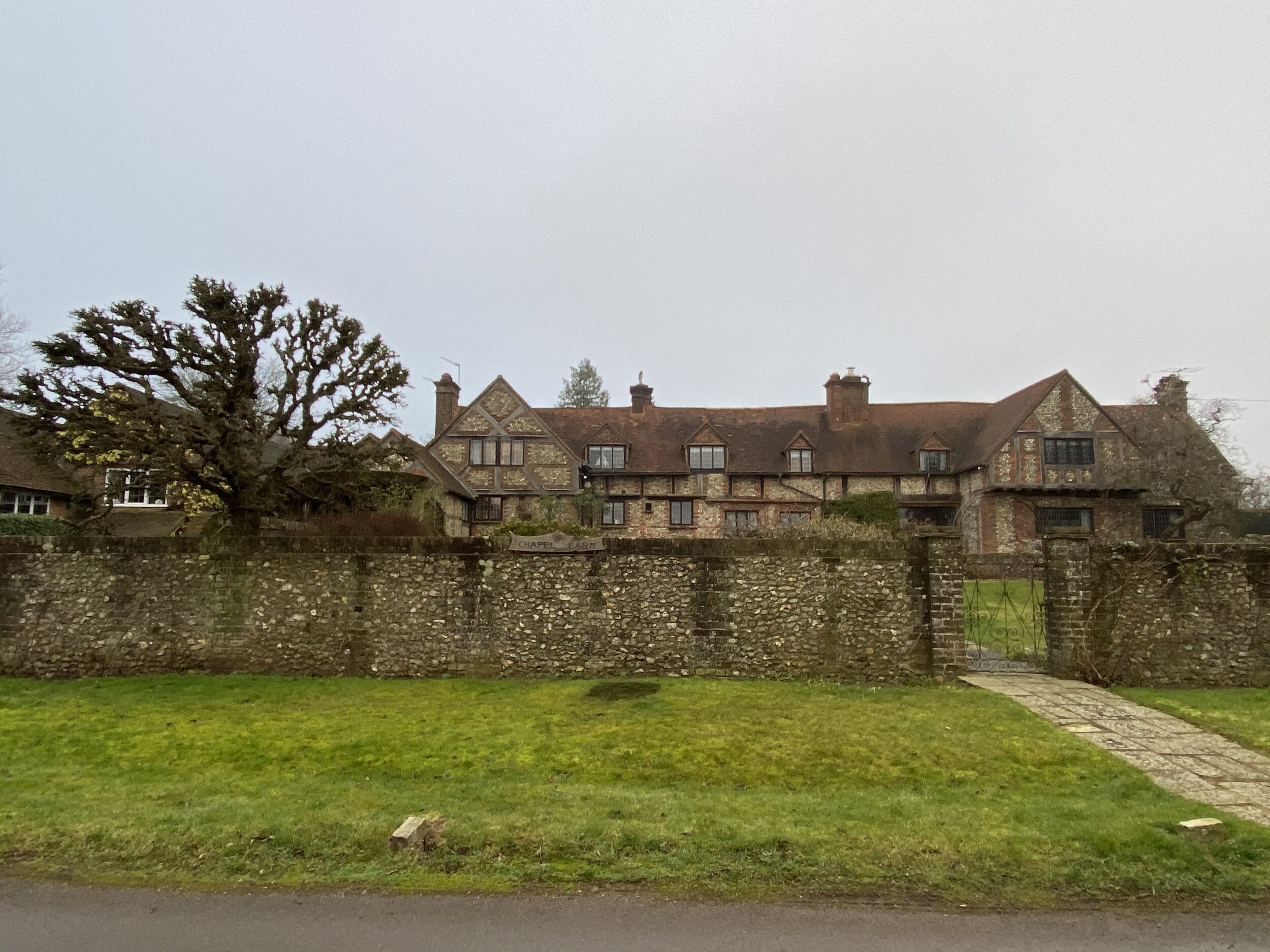
Watch out for traffic here. The B485 is busy but there’s a pavement on the south side for the very short section that you’ll follow it (heading West). Take Hyde Heath Road heading south-east for about 250m then take the first footpath on the right, heading south-west. Hyde Heath Road isn’t busy but there’s no pavement so be careful and watch out for cars. Once on the footpath, you’re back in pleasant Chilterns territory, crossing rolling hills, quaint farms and a lovely old manor house on Hyde Lane.
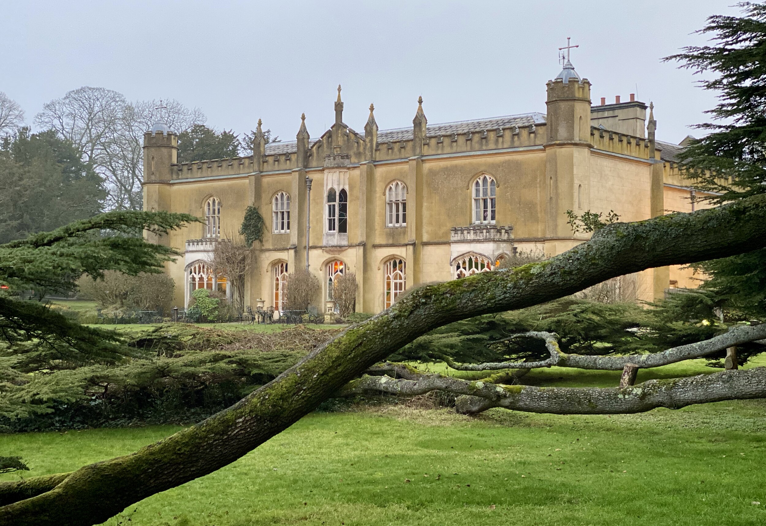
The final section is a steep descent to St Peter and Paul’s Church. Cross the bridge and you’ve got 3 options for the final stretch back to the car park. The quickest way back is to turn right and follow Church Lane, Buryfield Lane and the South Bucks Way to the car park. Alternatively, turn right for the longer route following the South Bucks Way along the perimeter of Missenden Abbey to London Road, then follow the High Street in a northerly direction. We took the 3rd option which was through a small gate into the grounds of the Abbey, across the River Misbourne and out the North exit of the property.
Chiltern Heritage Trail next section clockwise: Lee Common and Ballinger
Chiltern Heritage Trail next section anti-clockwise: Great Missenden and Little Kingshill