Chiltern Walks: The Chess Valley Walk

The Chess near Chenies
Part of the Chiltern Rivers Series
River start: Pednor, near Chesham, Buckinghamshire
River end: Confluence with River Colne at Rickmansworth
River length: 17.9 km (11.1 miles)
Walking route start / end: Rickmansworth Underground Station / Chesham Underground Station
Walking route length: 21.7 km (13.5 miles)
Walking route elevation change: +309m / -256m. Net -53
GPX File: get via Buy Me a Coffee
Other routes touched (walk): Chiltern Way
Other routes touched (cycle): Chilterns Cycleway, Hampden Route, Harding Route
Map: OS Explorer Map (181) Chiltern Hills North & OS Explorer Map (172) Chiltern Hills East
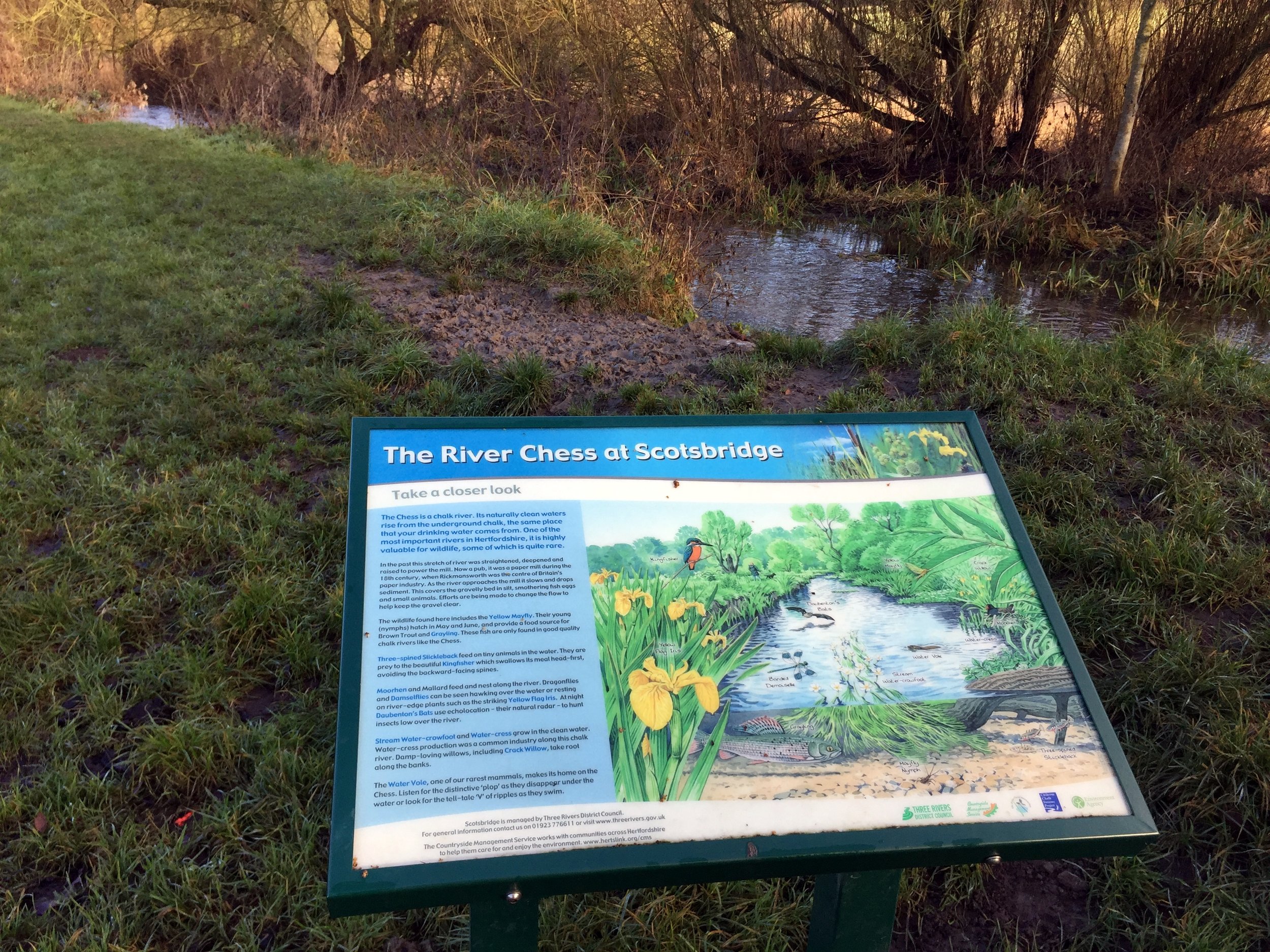
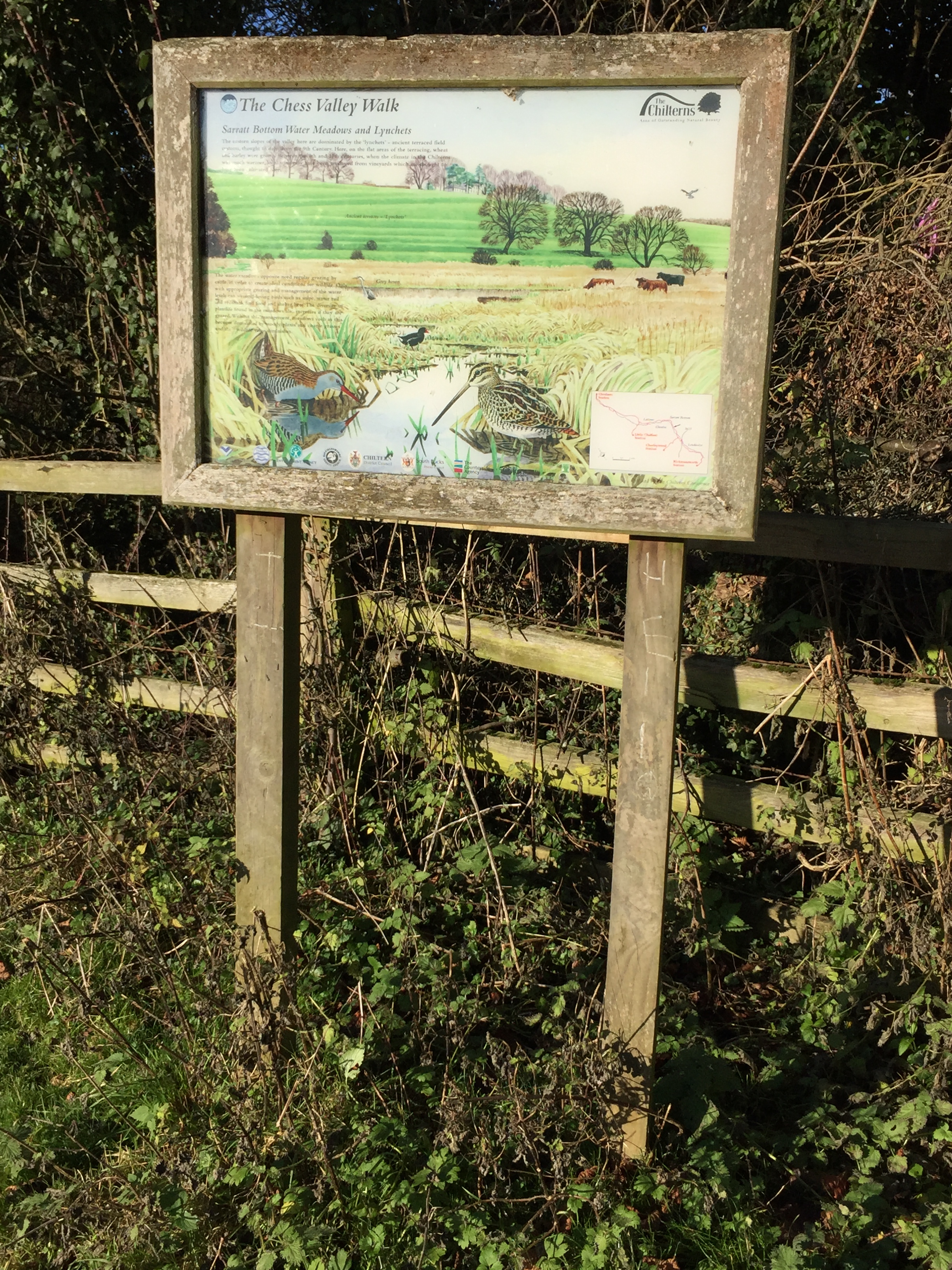
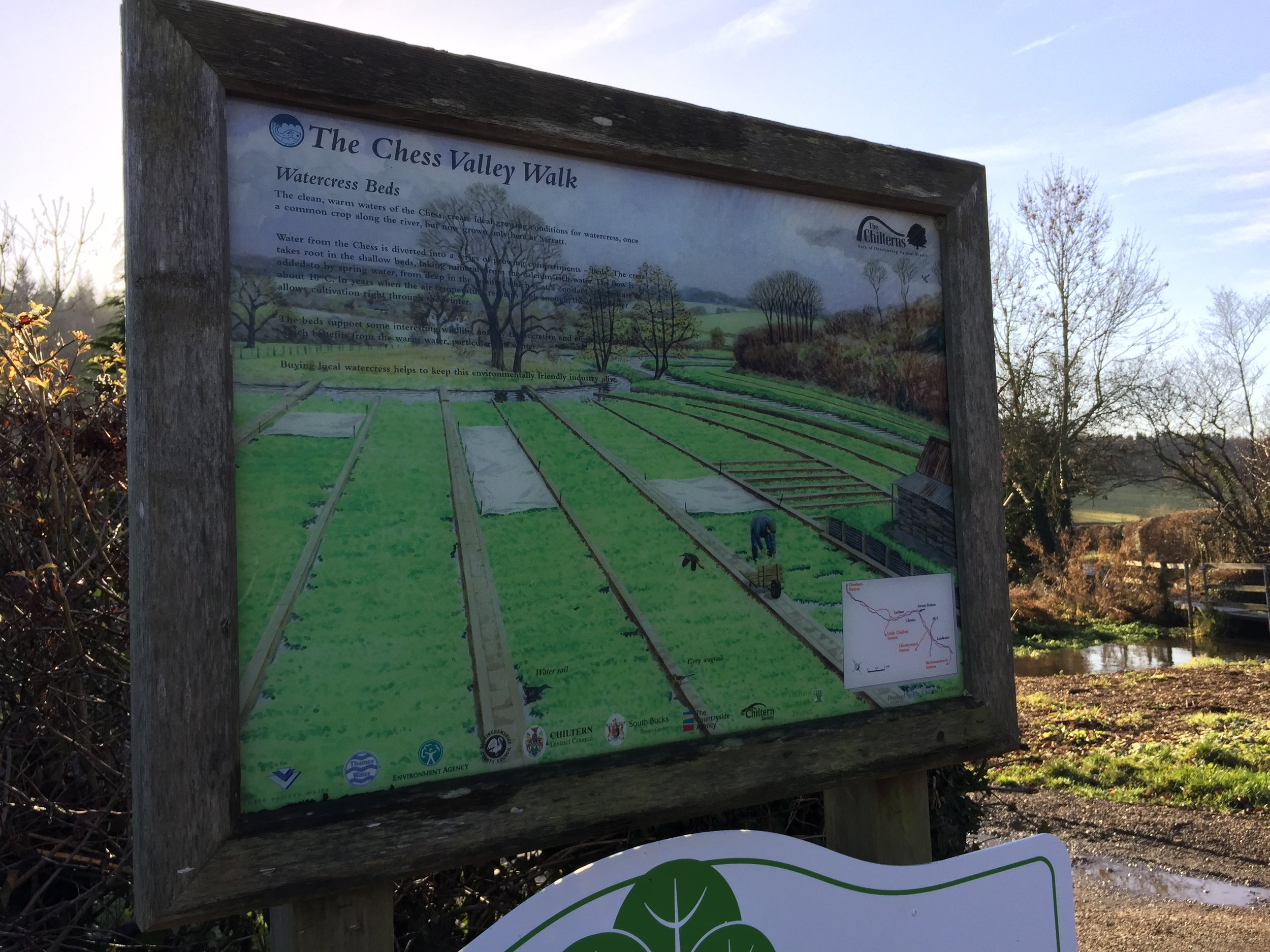
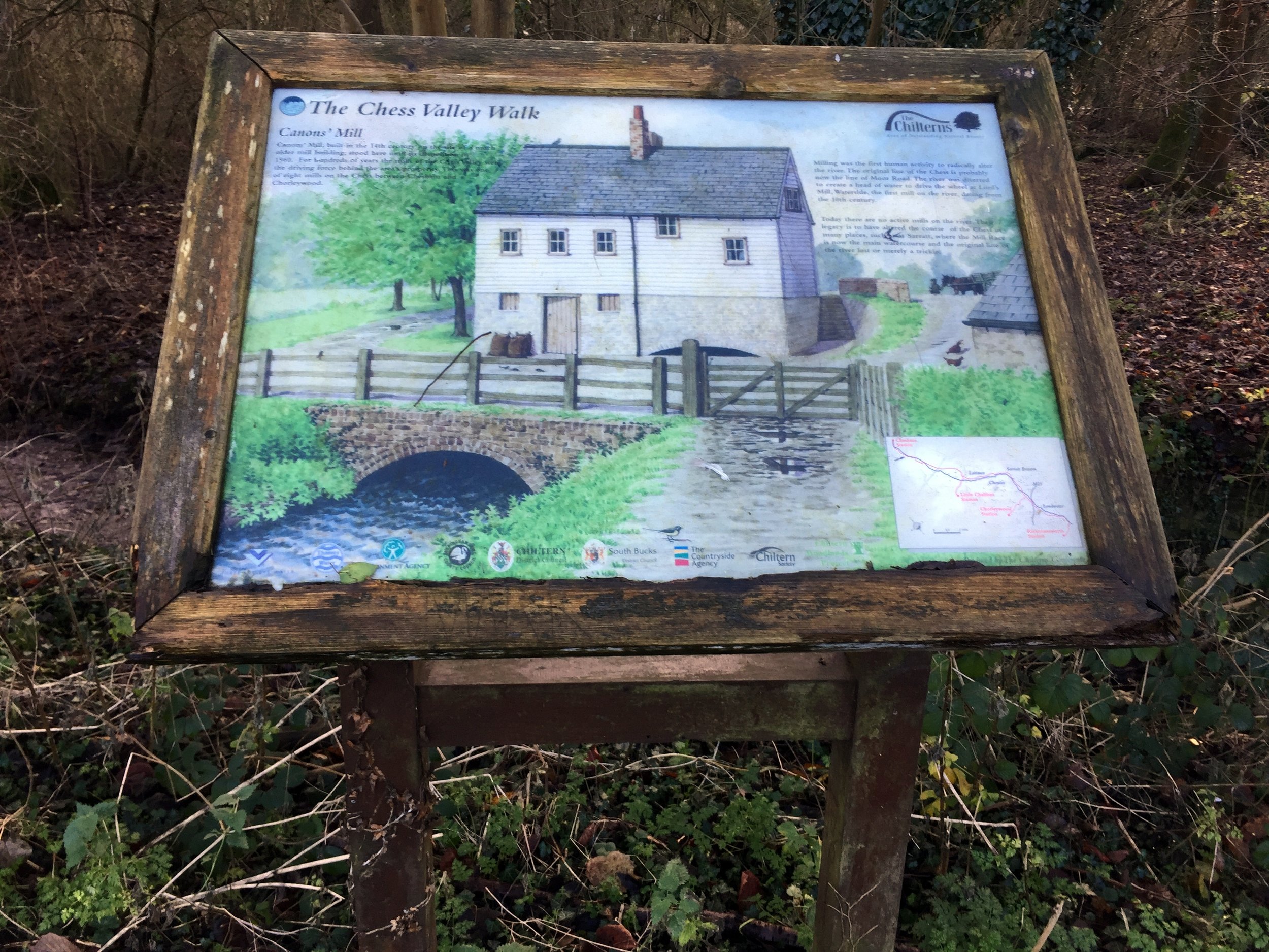
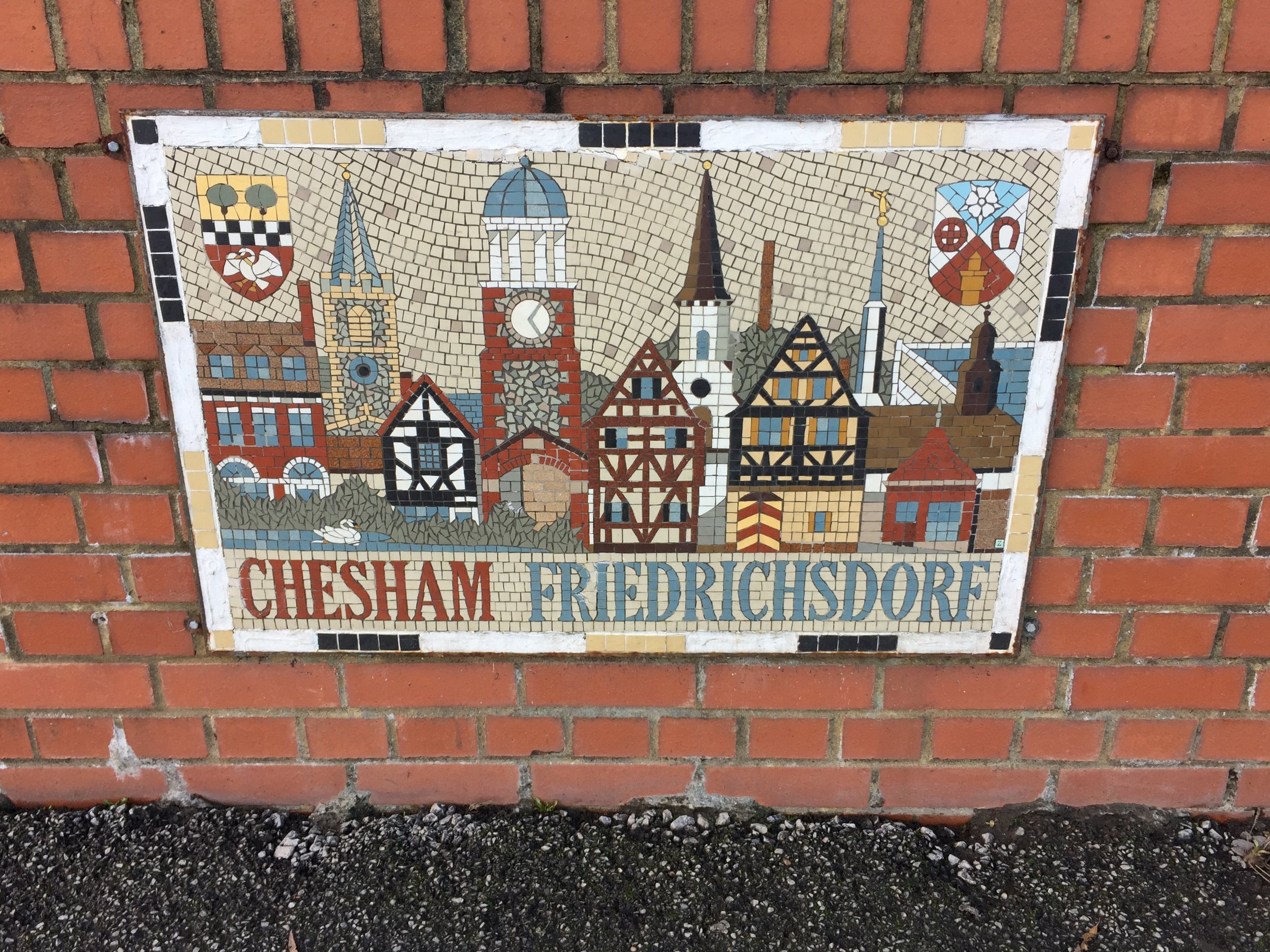
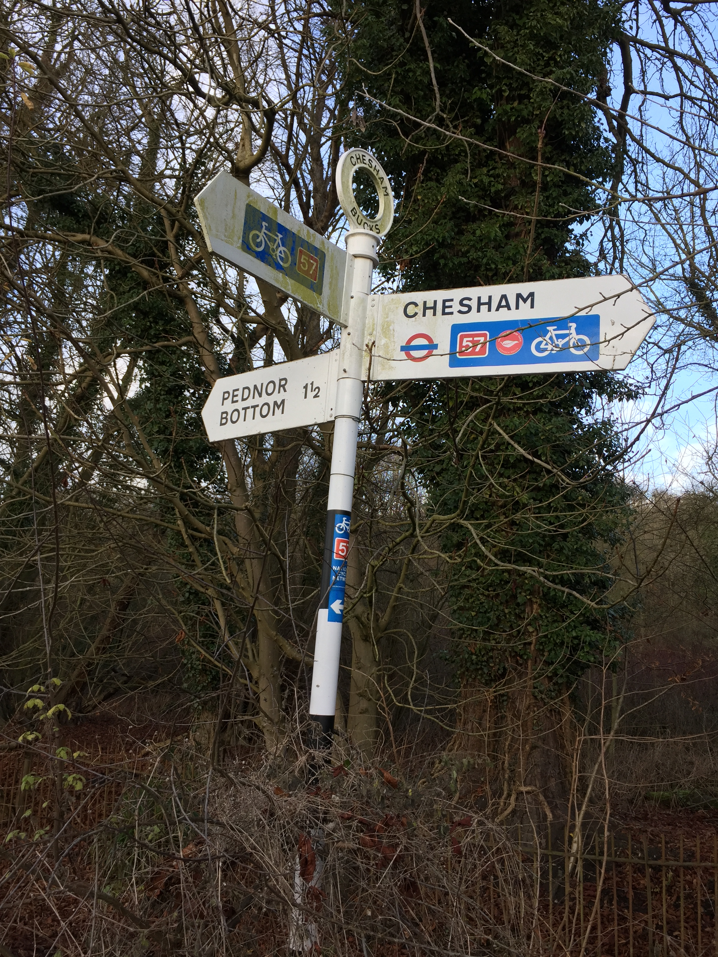
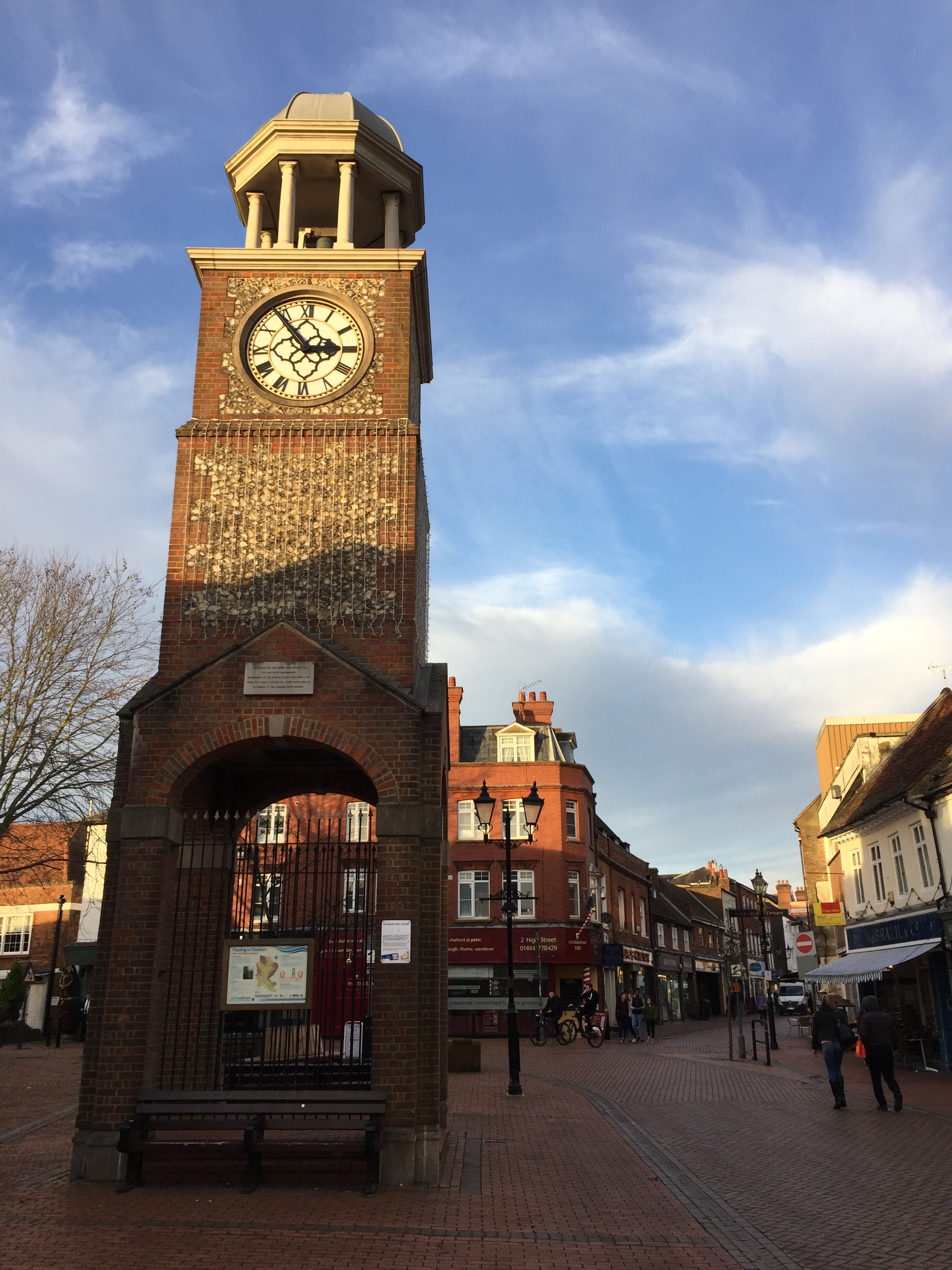
Links: River Chess, Rickmansworth, Rickmansworth Station, Sarratt Bottom, Latimer, Chesham, Chesham Station
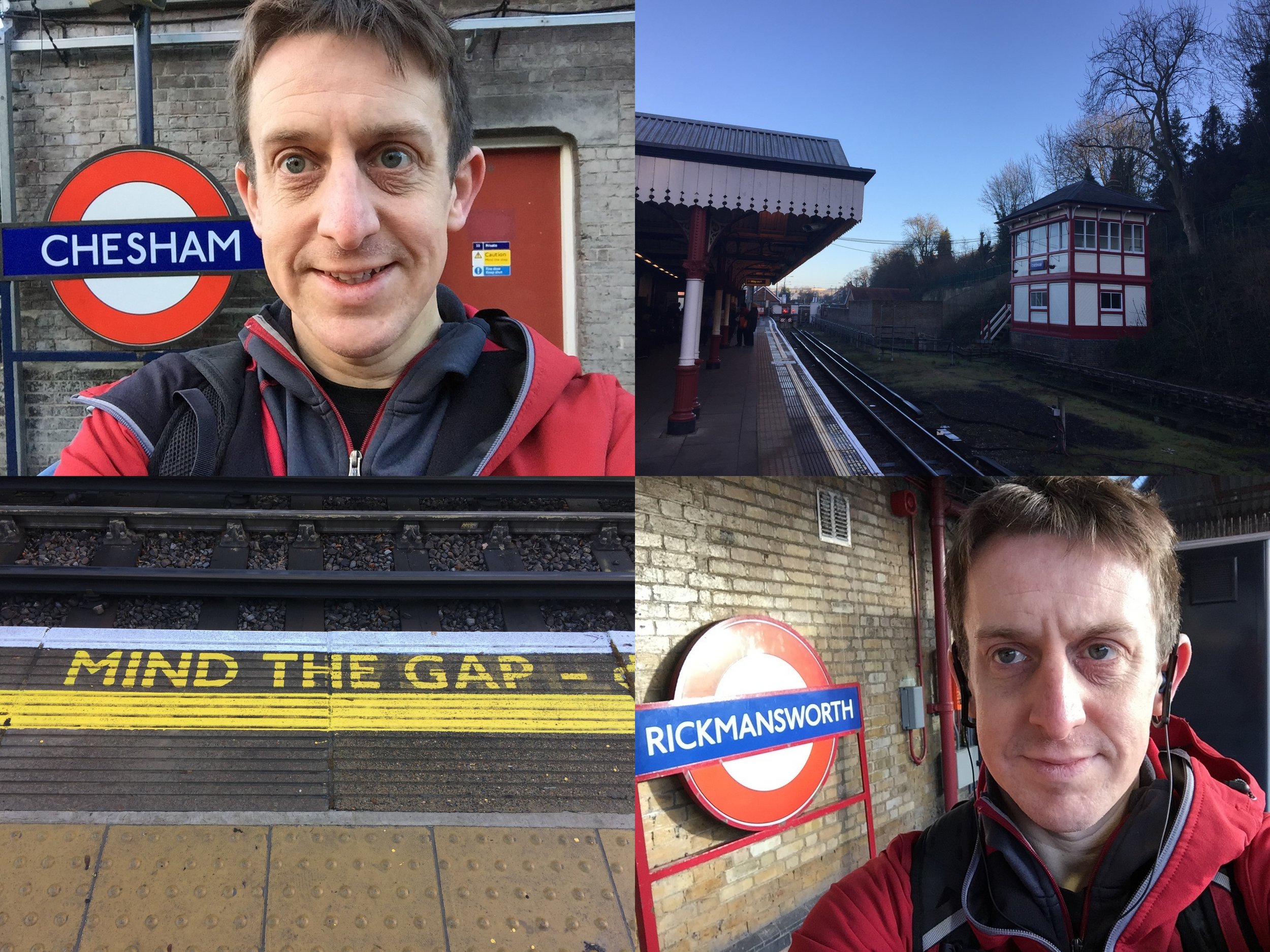
Having completed the Circle Line Run I was now excited about the London Underground. Today's adventure was going to be running the Bakerloo Line. However, once I'd checked out the route on Streetview I got a little uninspired by most of the Northern section. I needed some countryside and I definitely wouldn't get that on the Bakerloo.
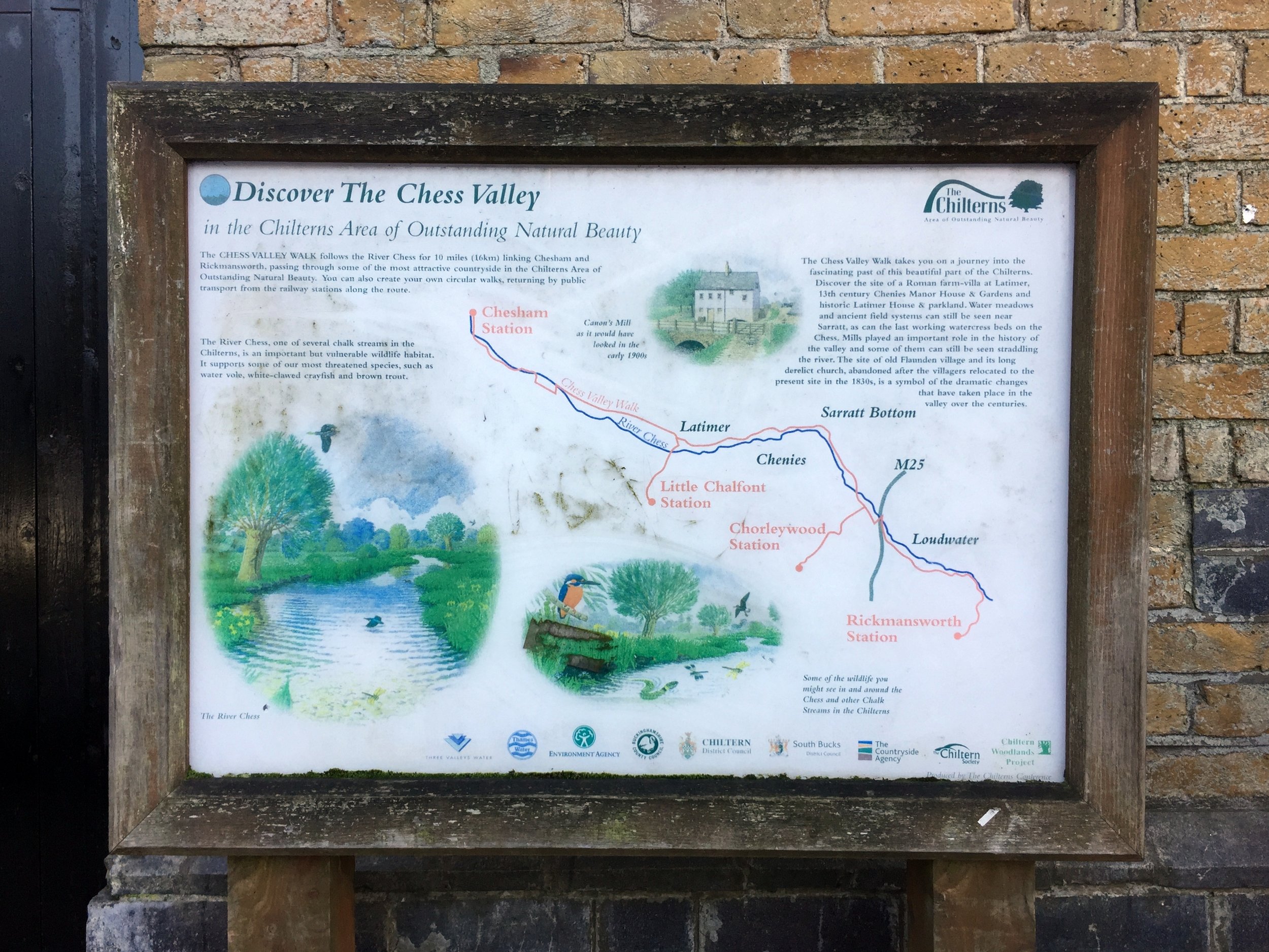
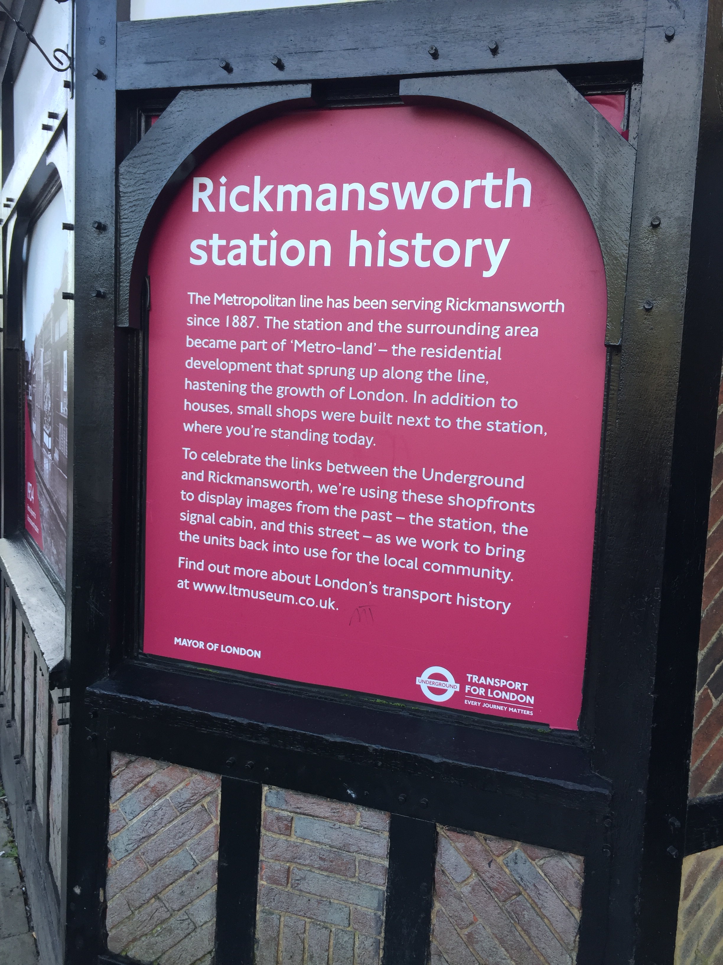
Google came to the rescue with a link to the Chess Valley Walk. It's a 10-mile sign posted walk following the River Chess between Rickmansworth and Chesham. Conveniently, it starts and ends at the Underground stations of each town. Both are on the Western end of the Metropolitan line, allowing for an easy point to point walk. Both are connected by a 16 minute Tube journey.
I chose the East to West direction starting at Rickmansworth where the Chess meets the Colne. I decided to do a longer version of the route by going as close to the source and the end as possible. The closest I could get was a small bridge near where the Underground crosses the river.
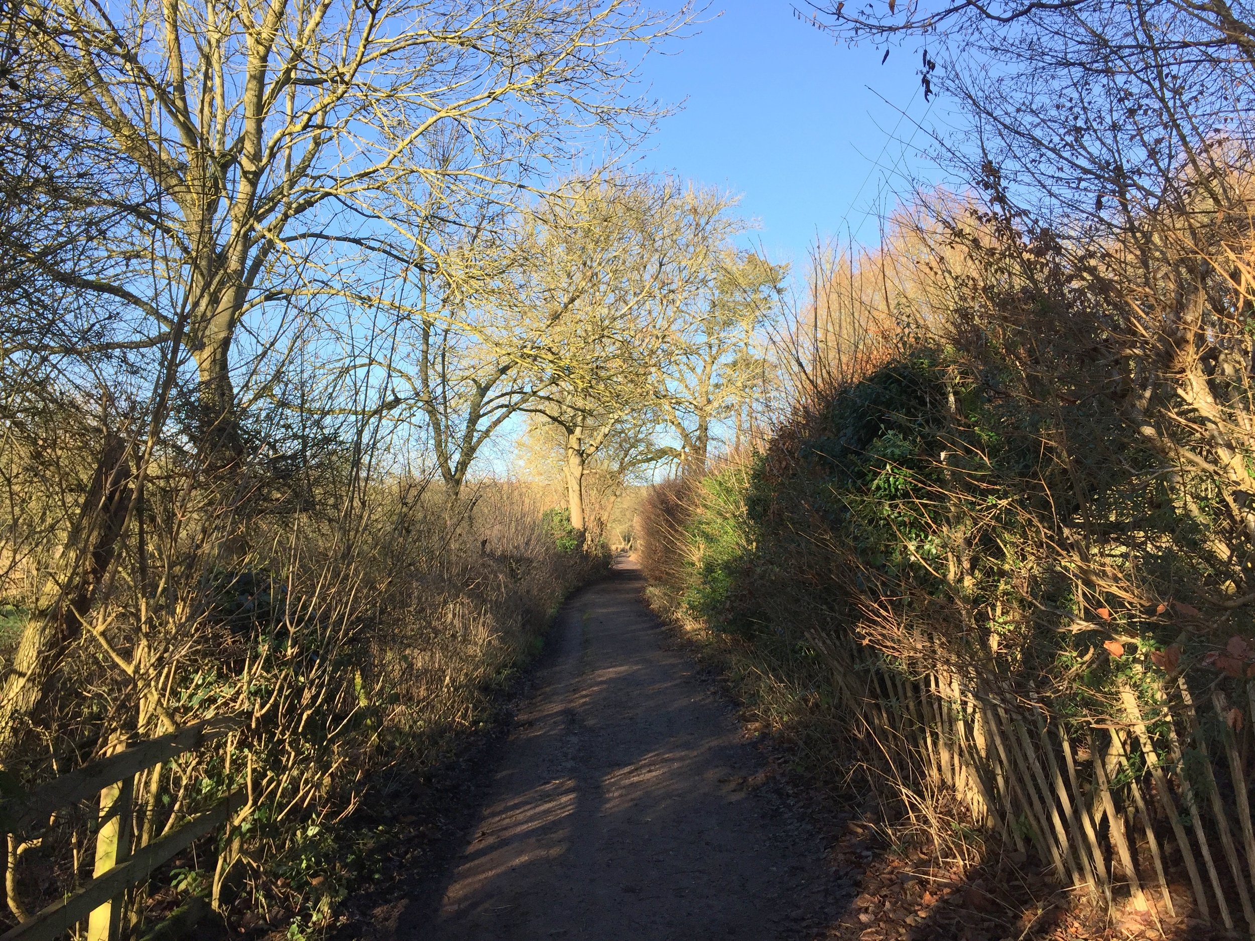
The actual route of the walk starts half a mile along after a small detour back towards the station. From here it meanders around the outskirts of the town, heading into the Chiltern countryside.
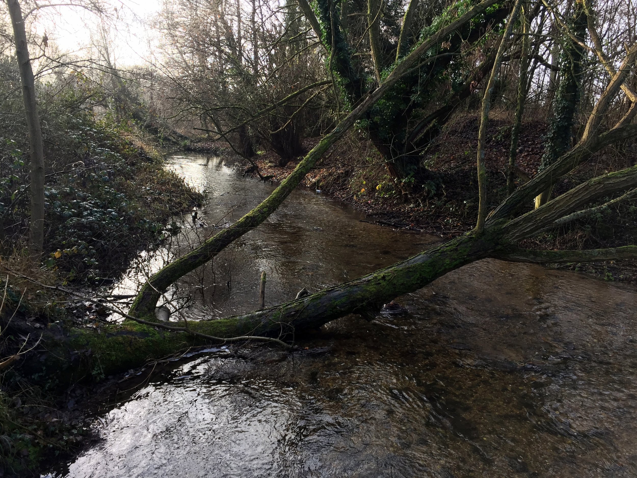
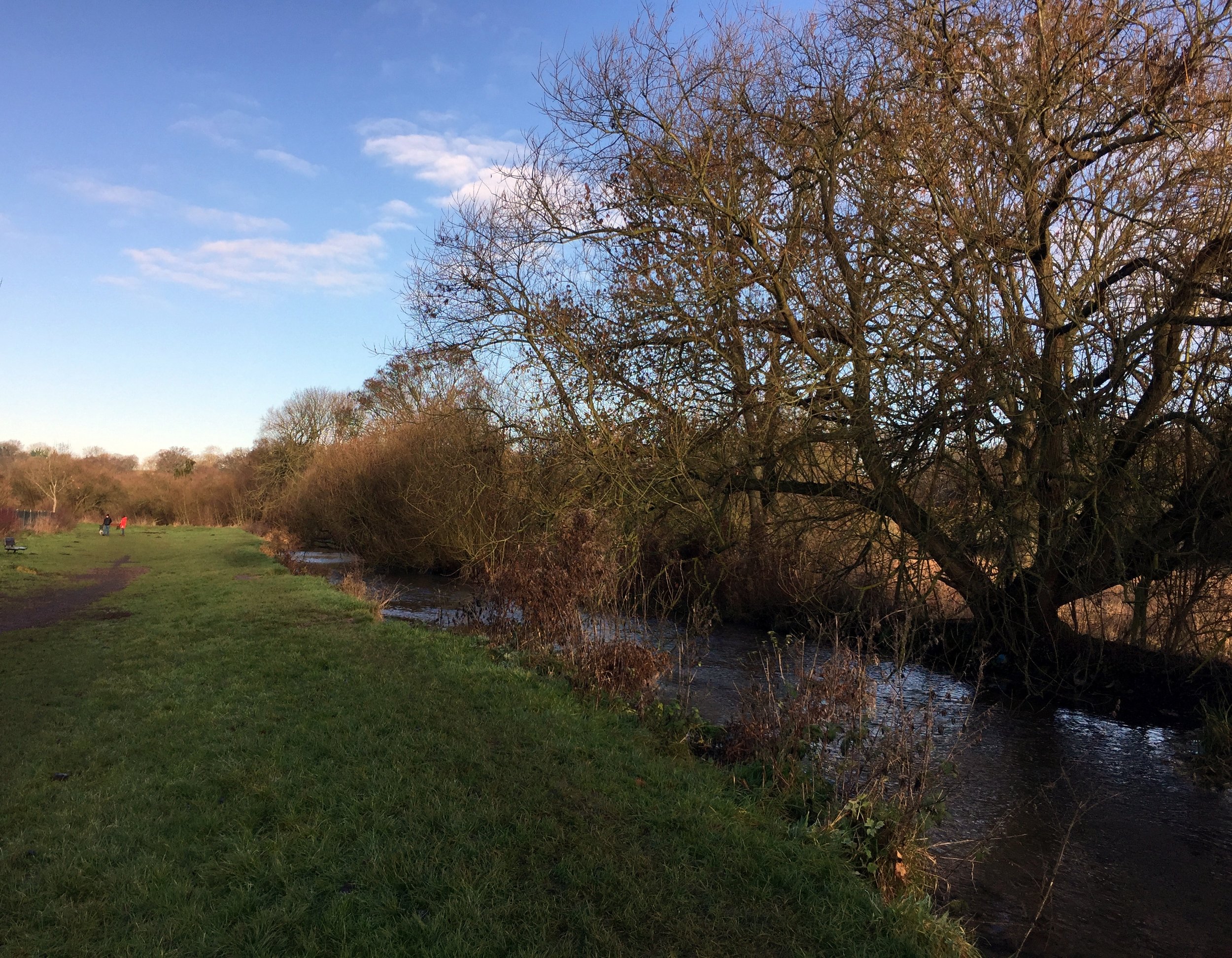
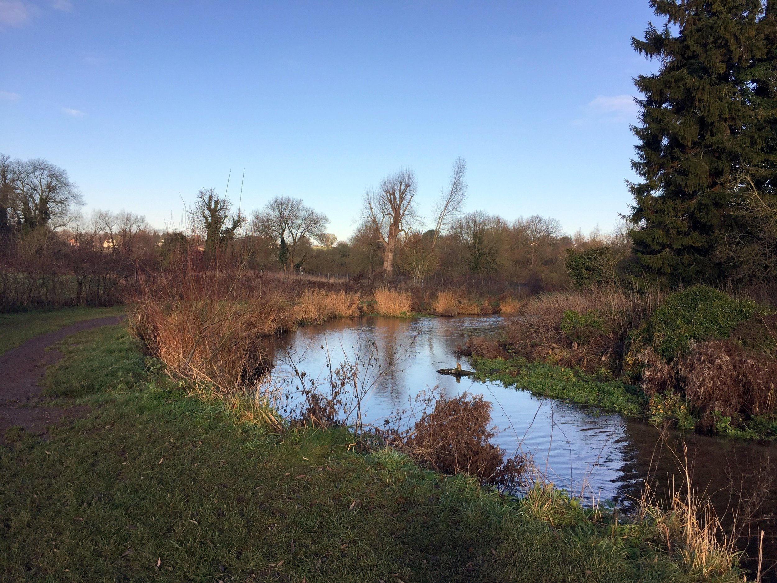
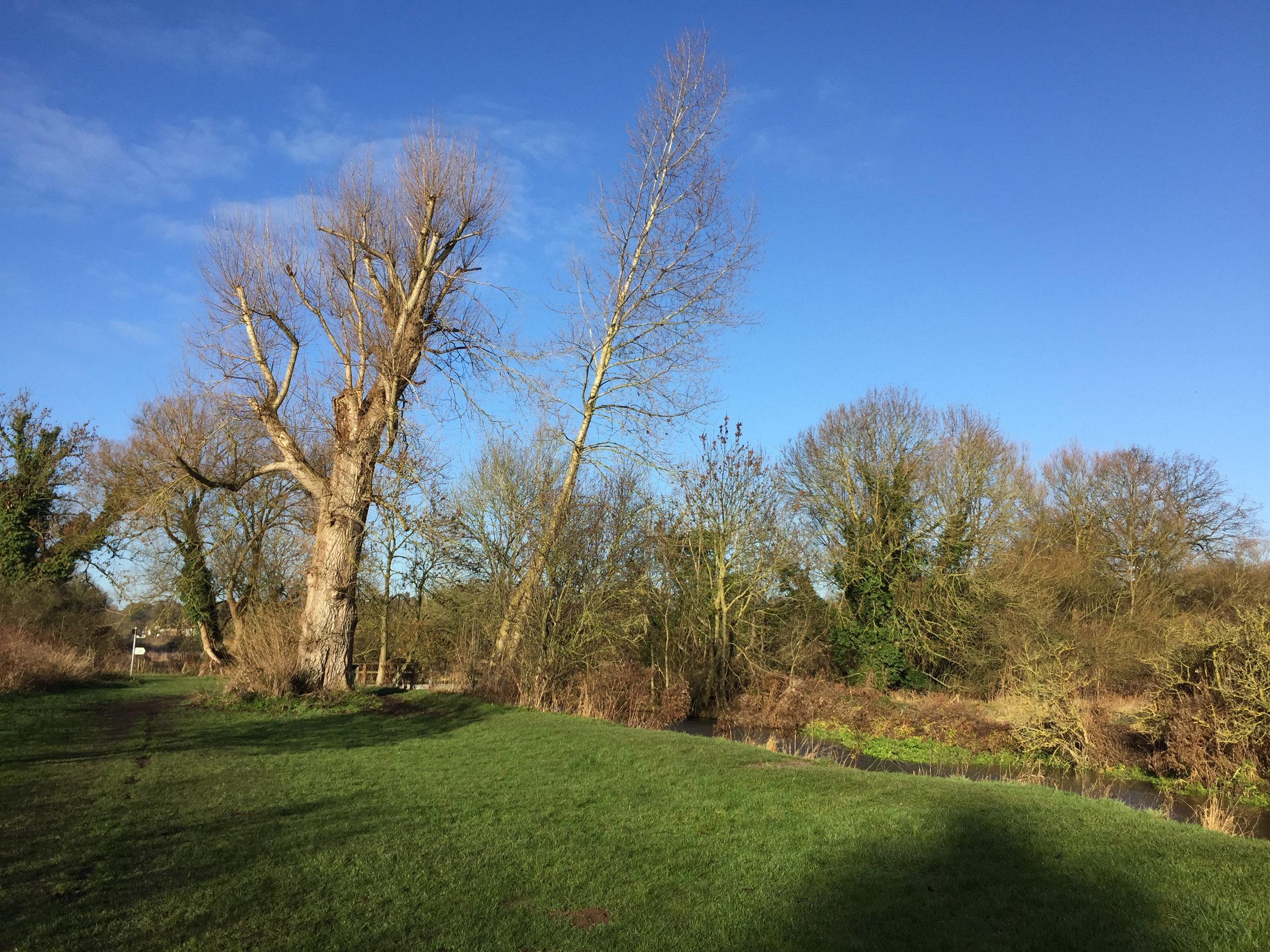
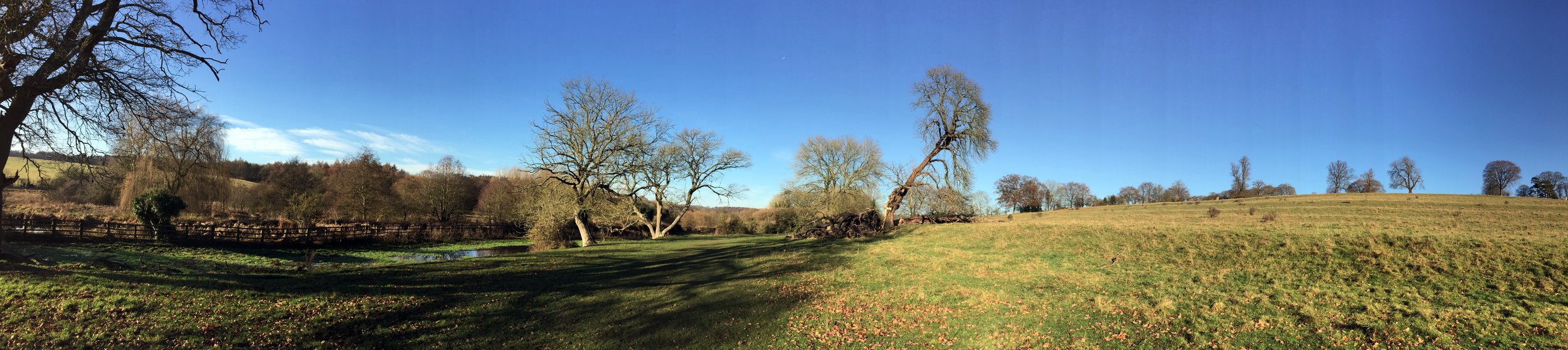
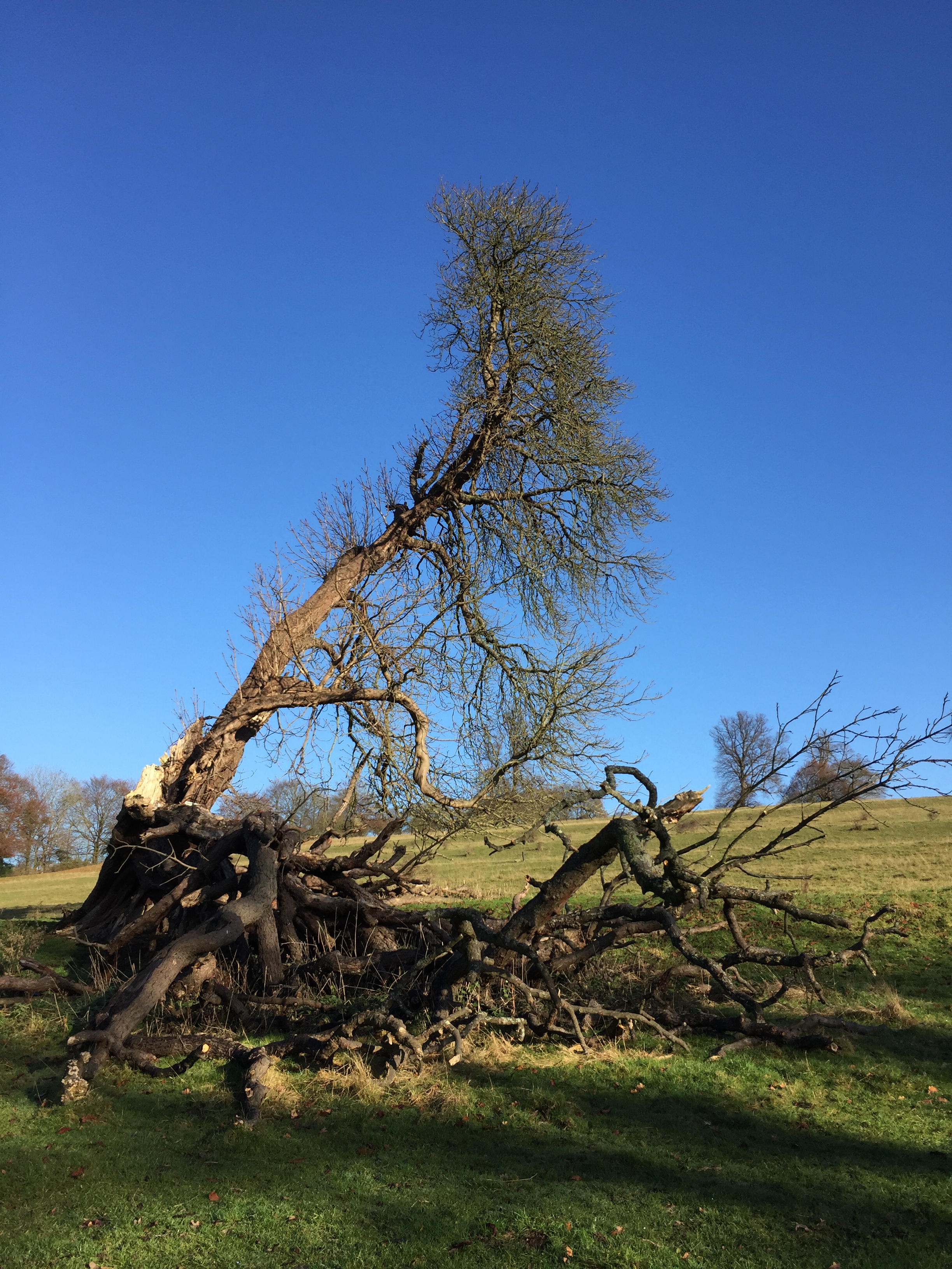
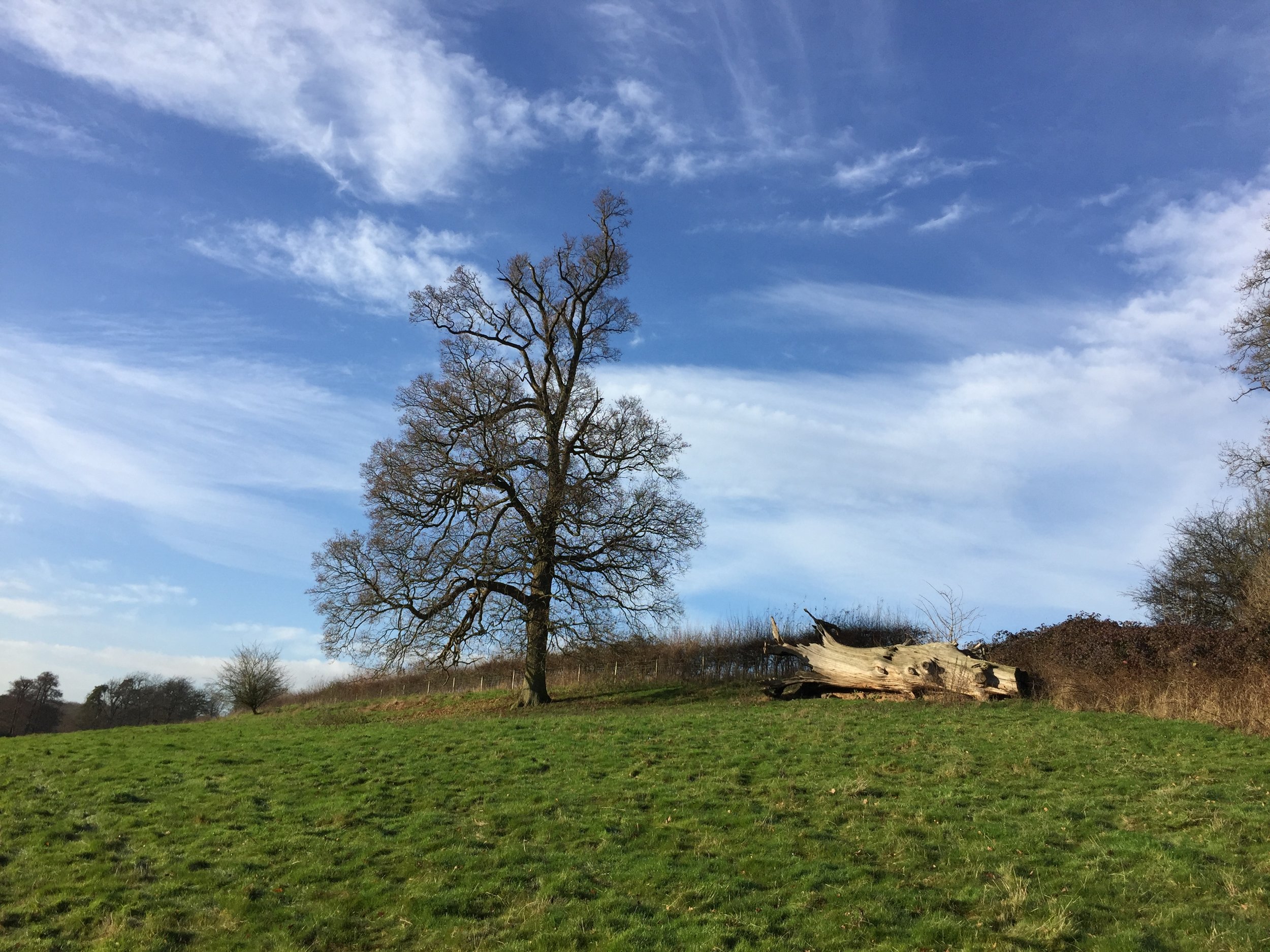
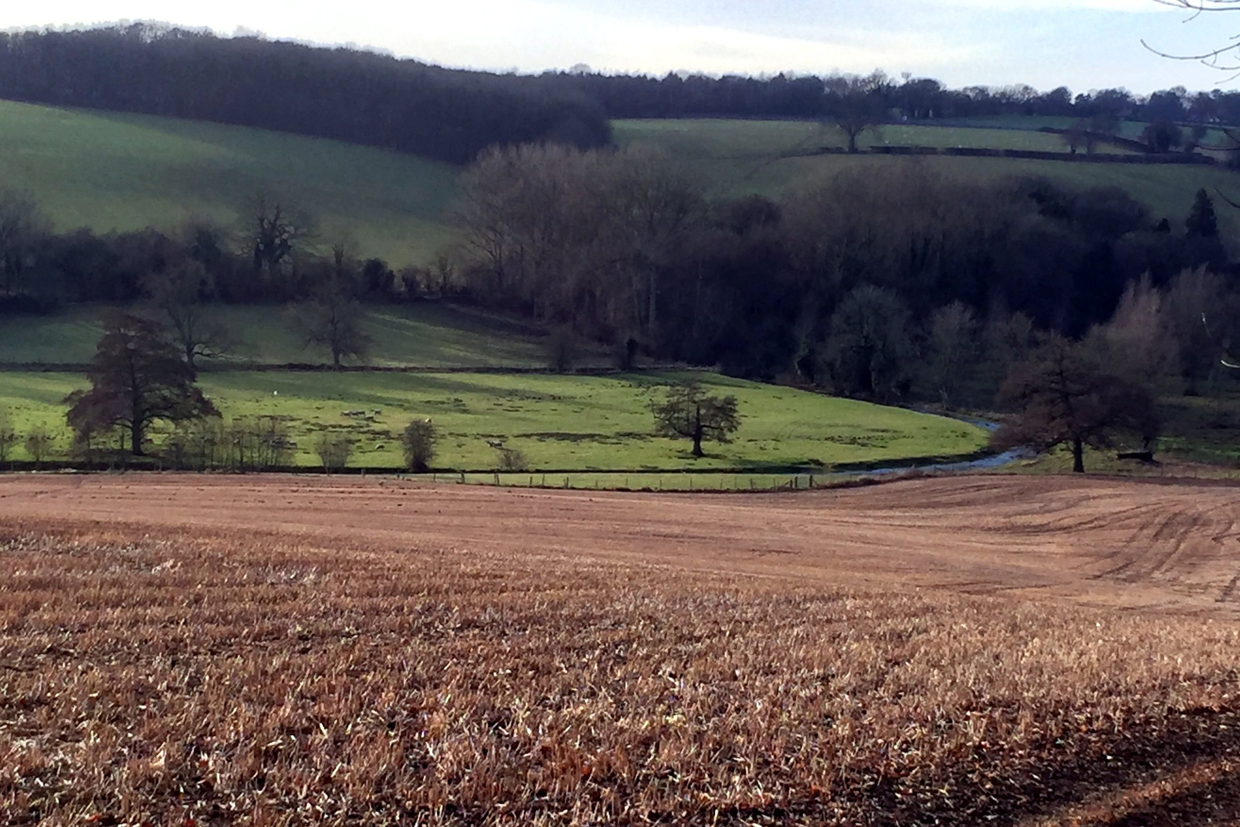
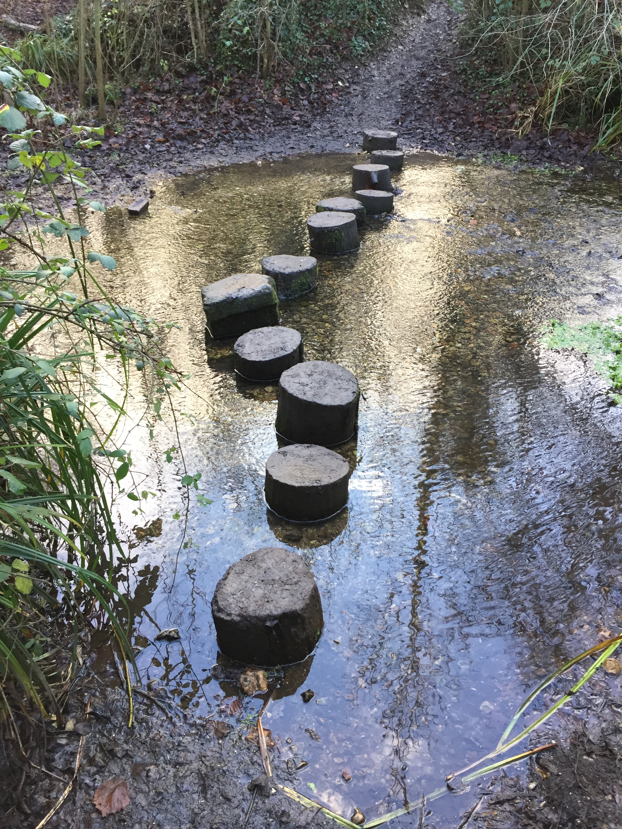
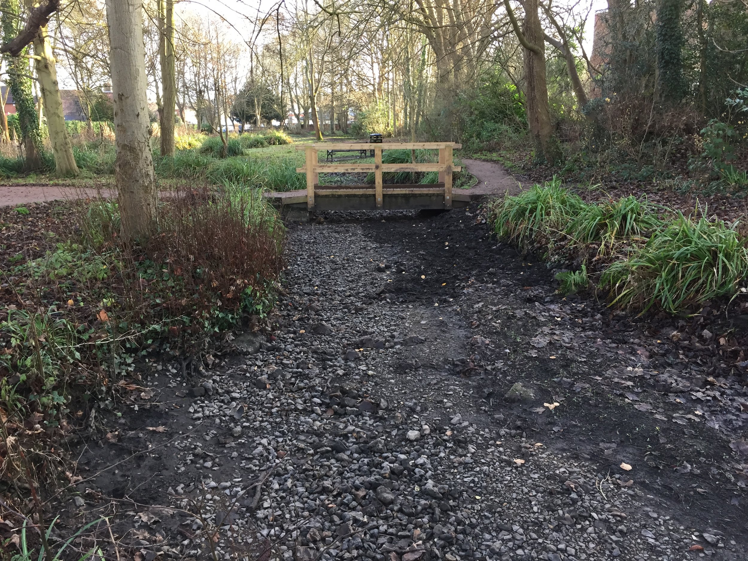
This was a cold, misty December day and I had the route mostly to myself. The path stays close to the river with some parts diverting off where it flows through private land.
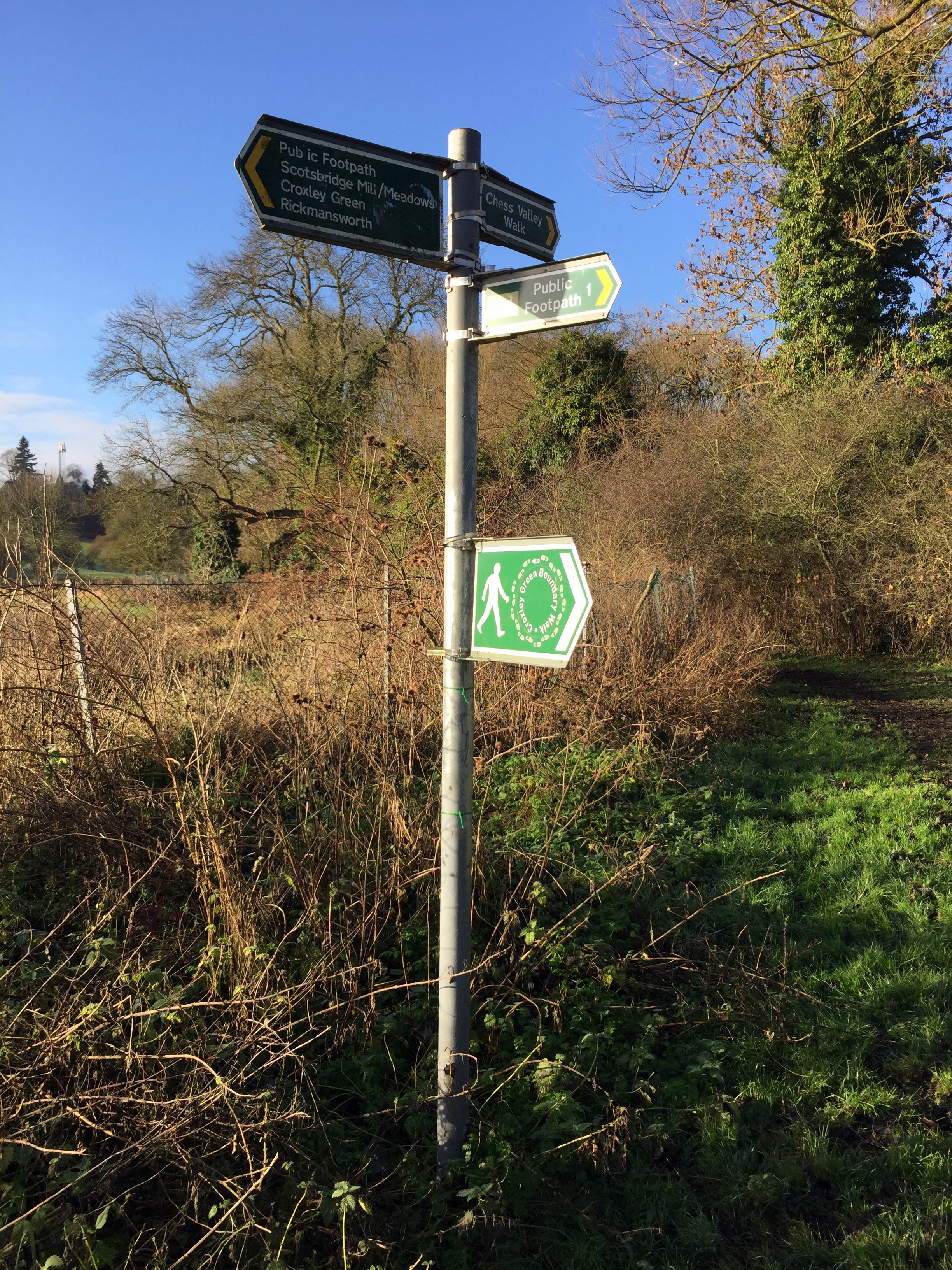
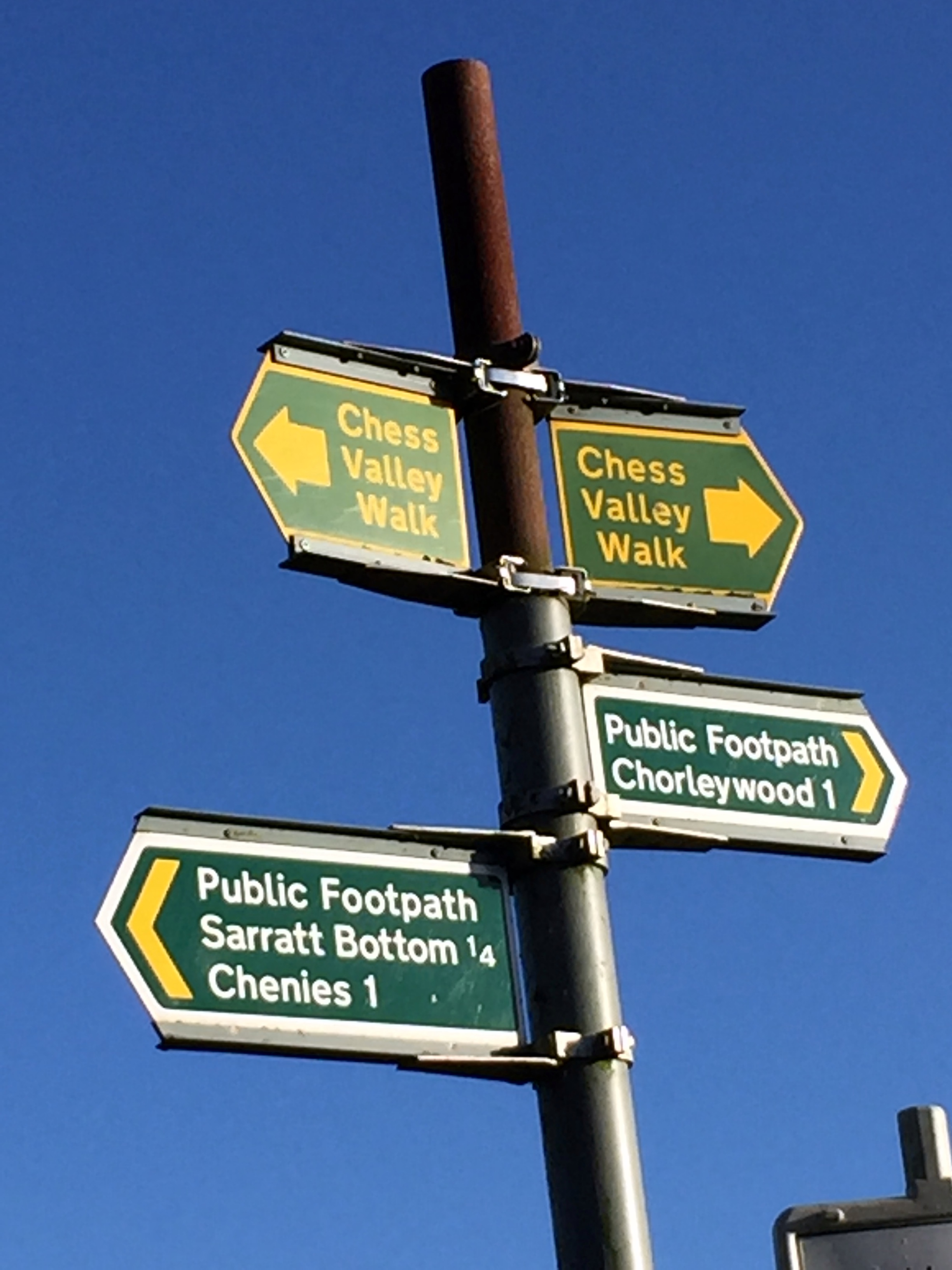
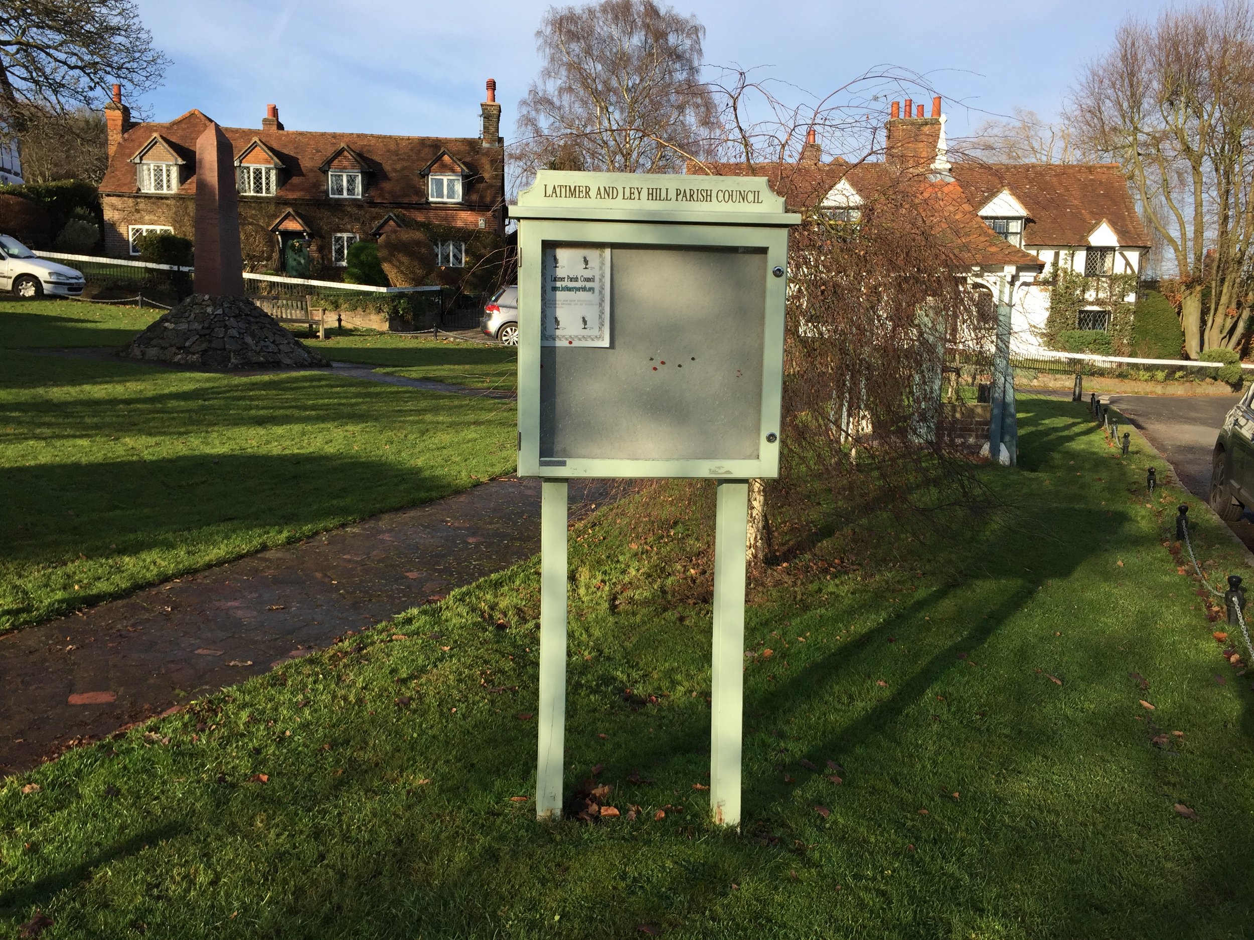
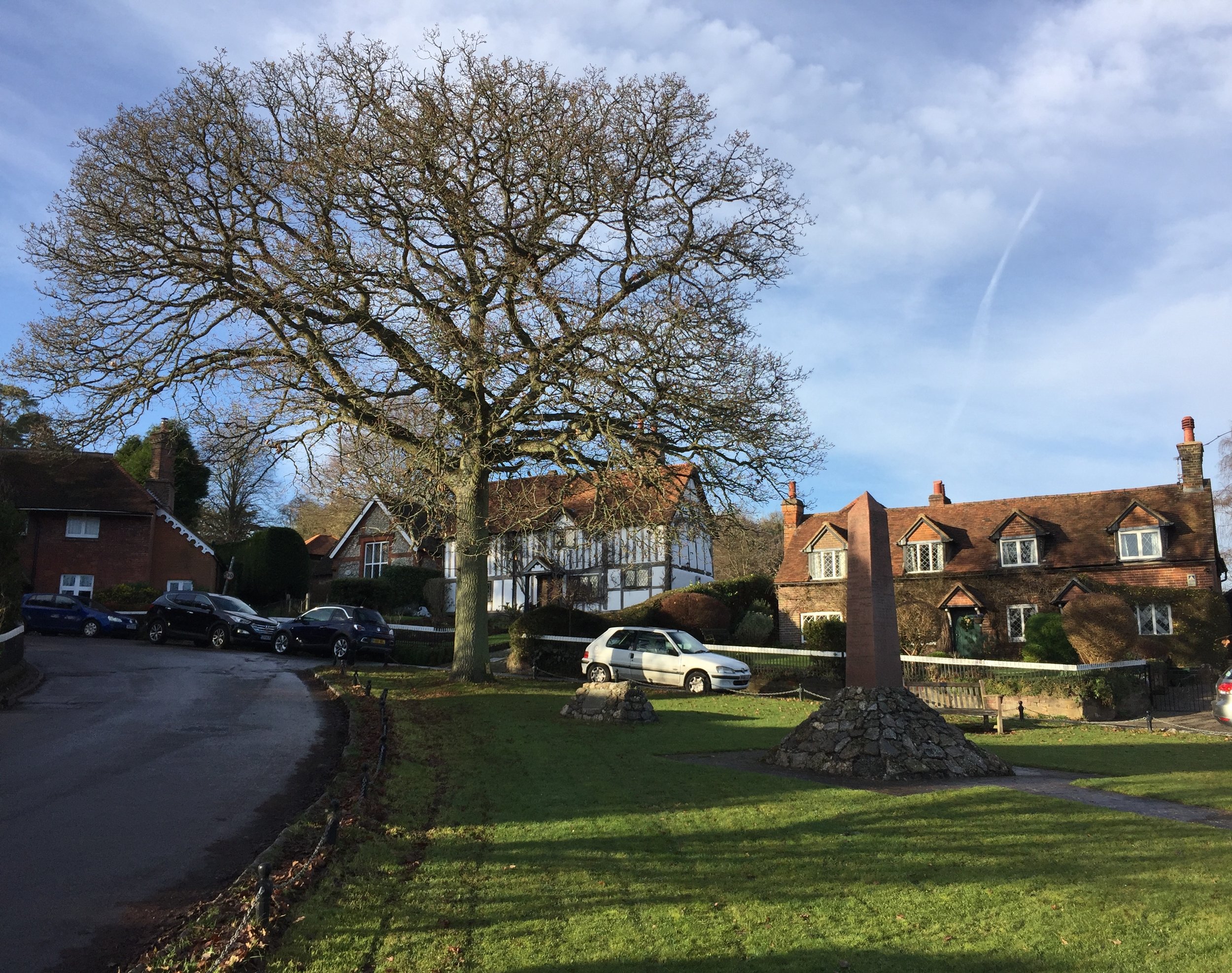
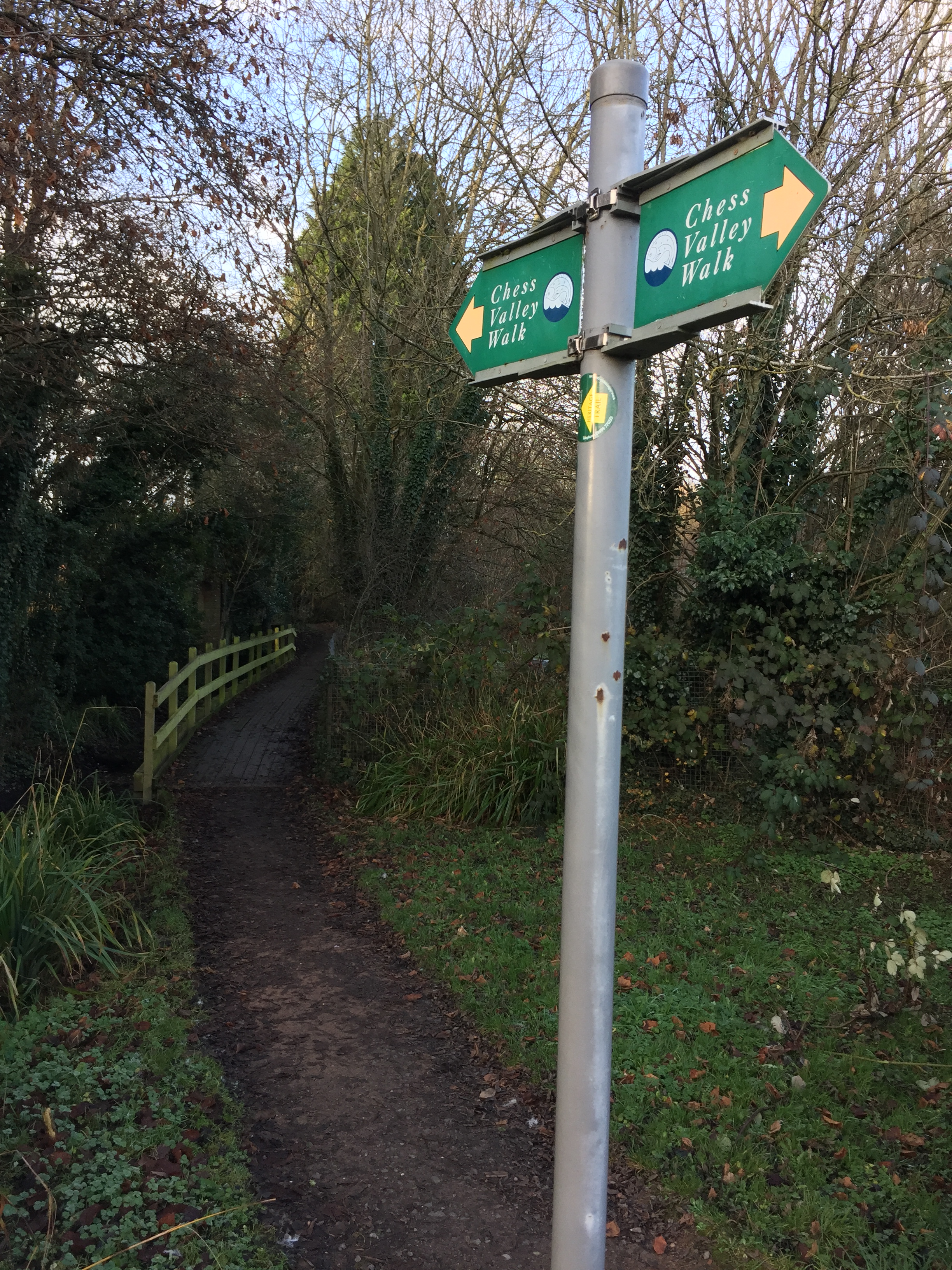
Despite being well signposted, a few places can catch you out. Two spurs of the path divert to the Metropolitan Line stations on the route, Chorleywood and Chalfont and Latimer. This allows for the walk to be split into smaller sections, each linked by the Underground. I discovered that the signs for the spur were more obvious than those for the main path. Blindly following one, I ended up diverting towards Chorleywood for about a half a mile. It would have been easy to have made the same mistake further on in Latimer had I not been prepared for it.
The path between Latimer and Chesham was familiar. I ran it in the opposite direction for the Country to Capital Ultra 2 years ago. Once in Chesham I left the signed path and headed to find the source. The river starts at Bury Pond, about half a mile North West of town. The pond is on private property but you can get a good view of it from Pednor Road that runs next to it.
My route was 13.5 miles, with the extra 2 miles on the official route made up of the extra bits at the start and end plus the Chorleywood diversion.
I really enjoyed the combination of a proper countryside walk connected by the Underground. It also gave me the inspiration for a few more Chiltern River trips. Next up: the Pinn, the Colne and the Wye.
Above: Red = course of the River Chess, red = walking route. You’d think it would be the other way around but I can’t get the colours to swap on the app I’m using #usererror.


Elevation for cycle route