Chiltern Walks: Chalfont St Peter, Seer Green and Chalfont St Giles

Descent to the Misbourne near Chalfont St Giles
Start & Finish: Chalfont St Peter Car Park, Church Lane, Chalfont St Peter, SL9 9TW
Distance: 13.1 km (8.1 miles)
Elevation change: + / - 124 m
South Bucks Way section covered: Rushcroft Wood to Chalfont St Peter: 4.3 km
Chiltern Heritage Trail Section Covered: Chalfont St Giles to Hodgemoor Wood: 10.3 km
GPX File: get via Buy Me a Coffee
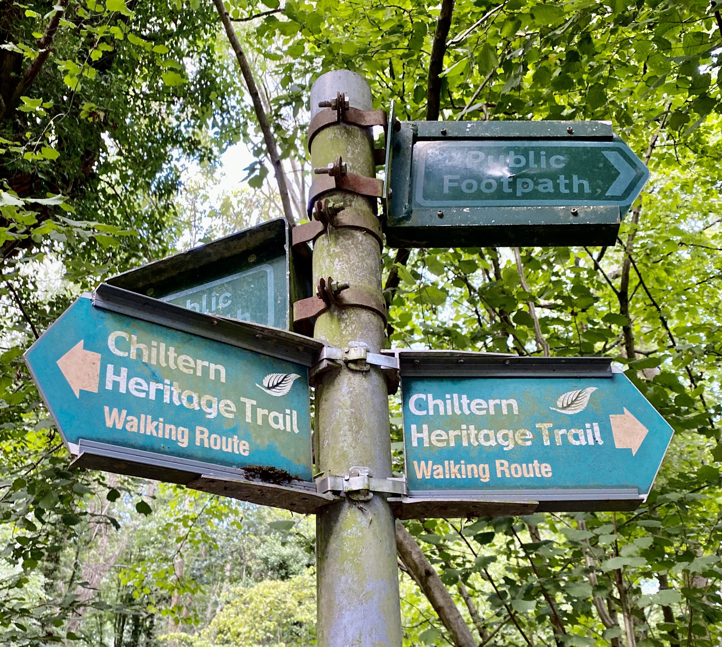
Other routes touched (walk): Chiltern Way, Chiltern Heritage Trail, South Bucks Way
Other routes touched (cycle): Chilterns Heritage Trail: Milton Route
Pubs / Cafes on route: Several in Chalfont St Peter and Chalfont St Giles, The Jolly Cricketers, Seer Green (4.6km in)
Map: OS Explorer Map (172) Chiltern Hills East
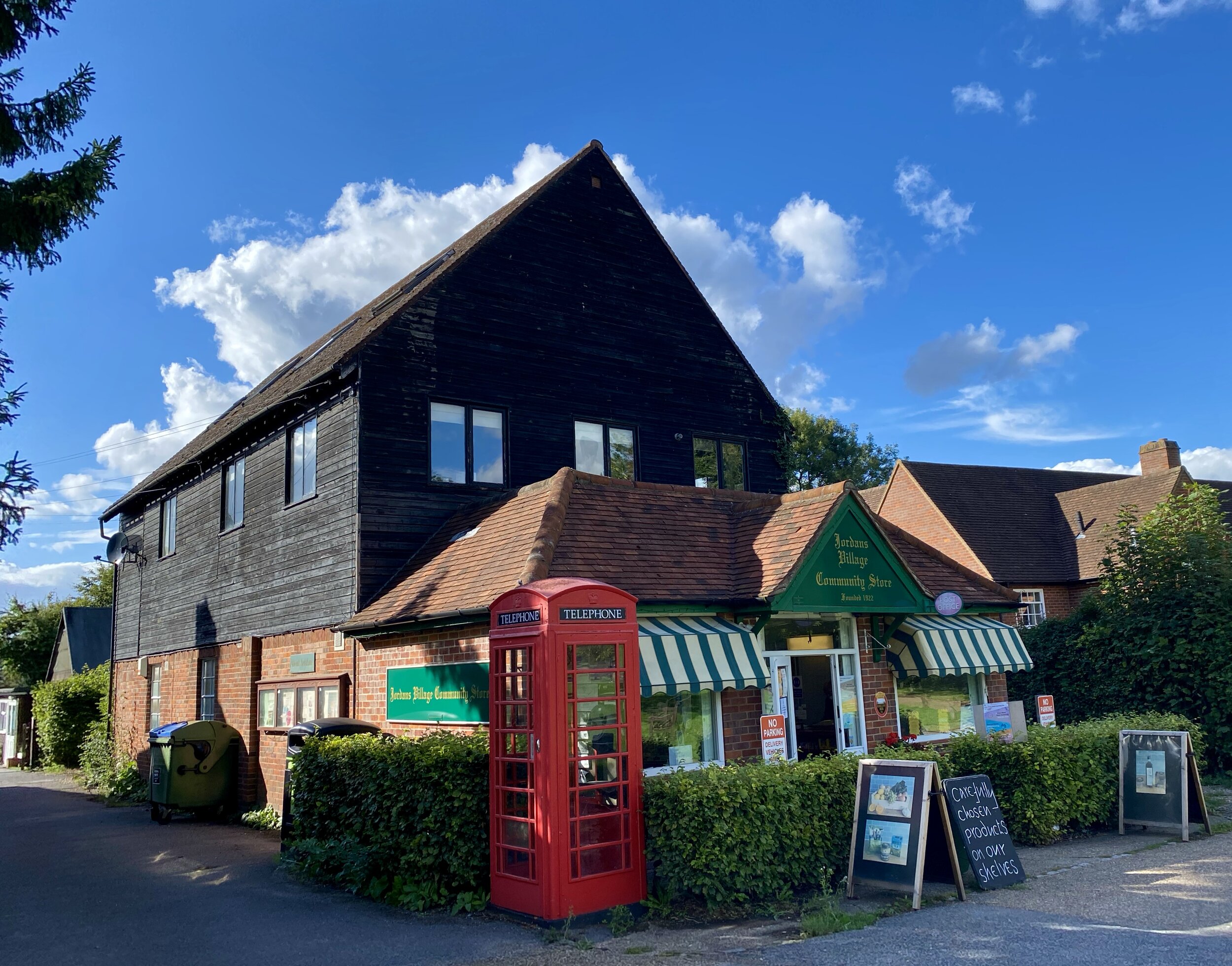
Links: Chalfont St Peter, Jordans Quaker Meeting Centre, Jordans, Seer Green, Chalfont St Giles, River Misbourne
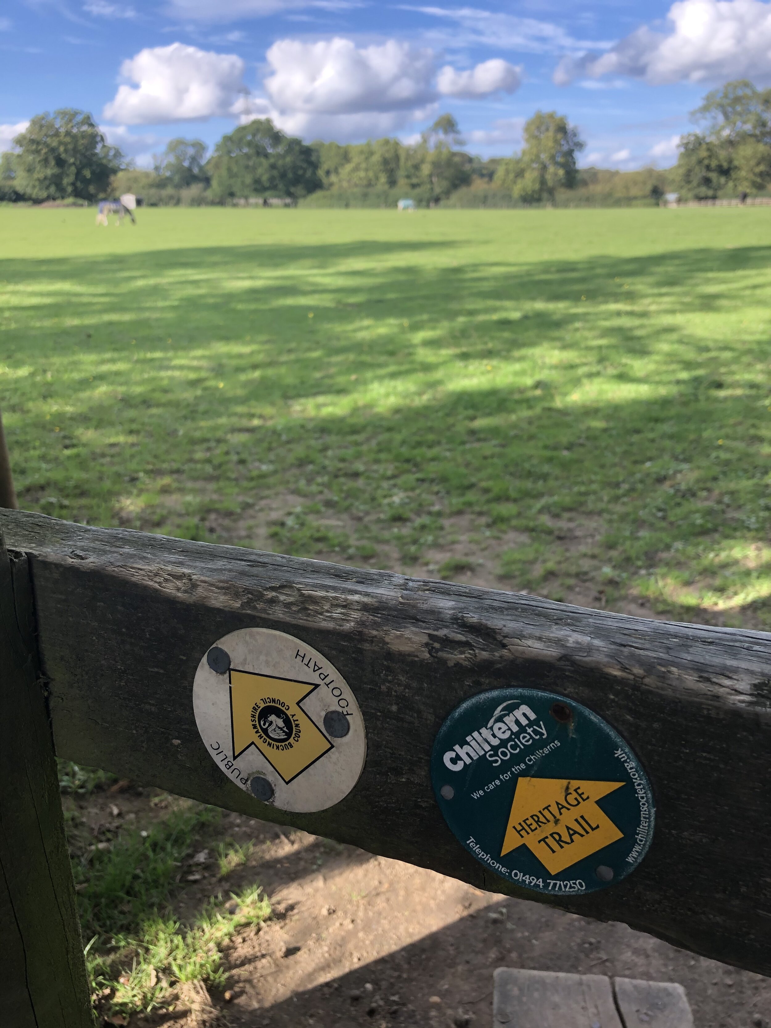
The South Bucks Way is a 37 km (23-mile) trail that promises a delightful escape for walkers and hikers. This scenic route, often overshadowed by its more famous counterparts, offers a tranquil journey through charming villages, lush countryside, and the gentle murmur of the River Misbourne. This post is part of a series of circular walks featuring the South Bucks Way. The full trail stretches from Coombe Hill near Wendover to the Grand Union Canal at Denham. Our walks take in short sections of the South Bucks Way and loop back to the start on other paths. The South Bucks Way is well sign-posted however you’ll need a map or GPX route to keep on track for the return sections of the loops. The guidance below will help but don’t use it as a fully accurate turn-by-turn guide.
The route is also part of a series of 17 walks that, between them, cover the 83 km of the Chiltern Heritage Trail. Created as a Millennium project, this trail links the towns and parishes within the district, offering stunning scenery, charming villages, and points of historical interest.
Walking Directions
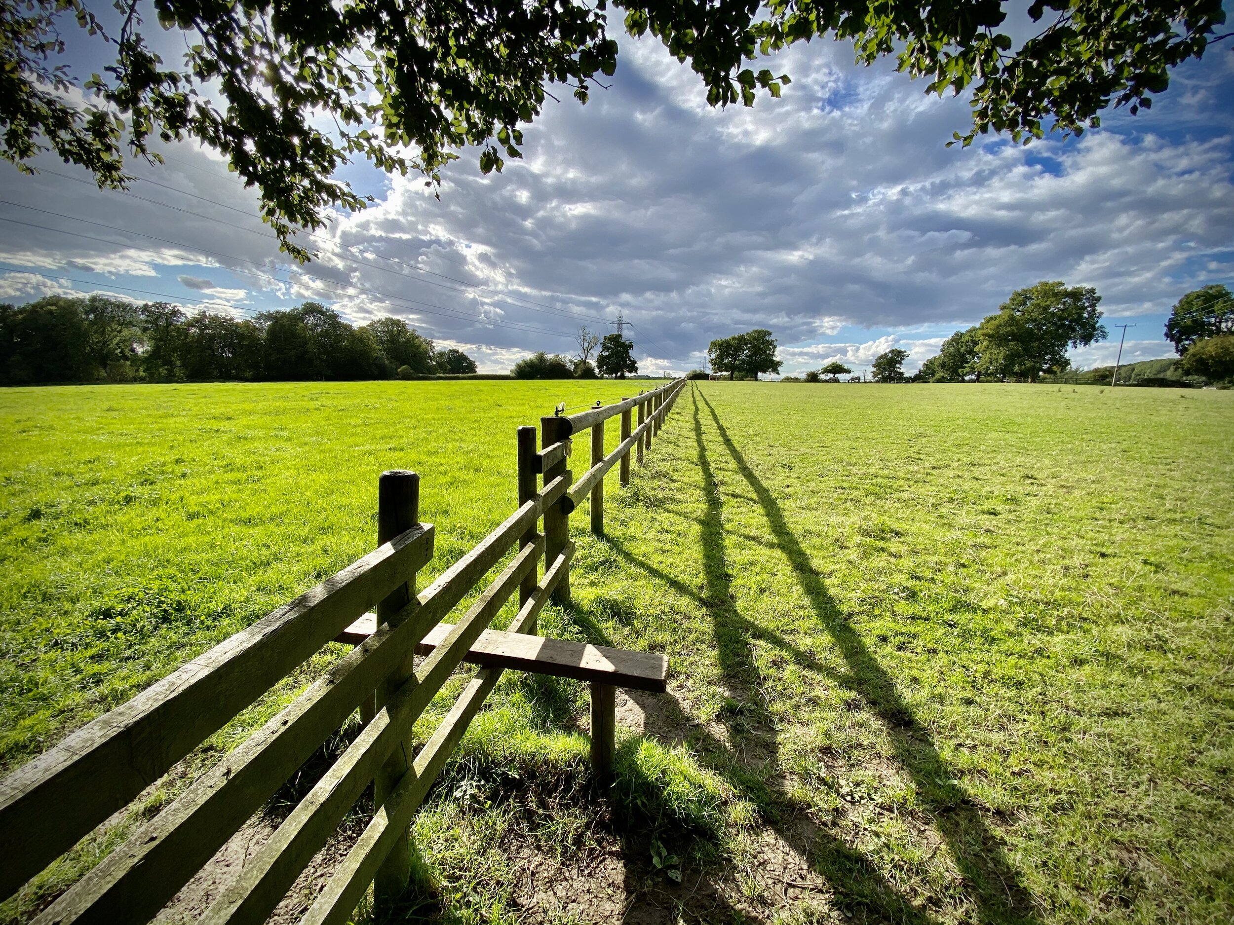
This delightful 13.1 km circular walk begins in the bustling centre of Chalfont St Peter, guiding you westwards towards the tranquil village of Seer Green. Along the first half of the route, you'll wander through beautiful rolling countryside, peaceful woodland patches, and historic landmarks in the village of Jordans, making it a perfect excursion for a weekend morning.
After exploring the scenic paths around Seer Green, the route loops north-east, following the famous Chiltern Heritage Trail before bringing you into the charming parish of Chalfont St Giles. From here, you'll pick up the South Bucks Way, enjoying a gentle and picturesque return leg that follows the meandering, clear waters of the River Misbourne all the way back to your starting point.
The guidance below will help you navigate but don’t use it as a fully accurate turn-by-turn guide. Always take a map and/or a GPX route and prepare well for the weather and terrain.
From Chalfont St Peter village centre, walk up Market Place in a westerly direction, then onto Nicol Road and Grove Lane.
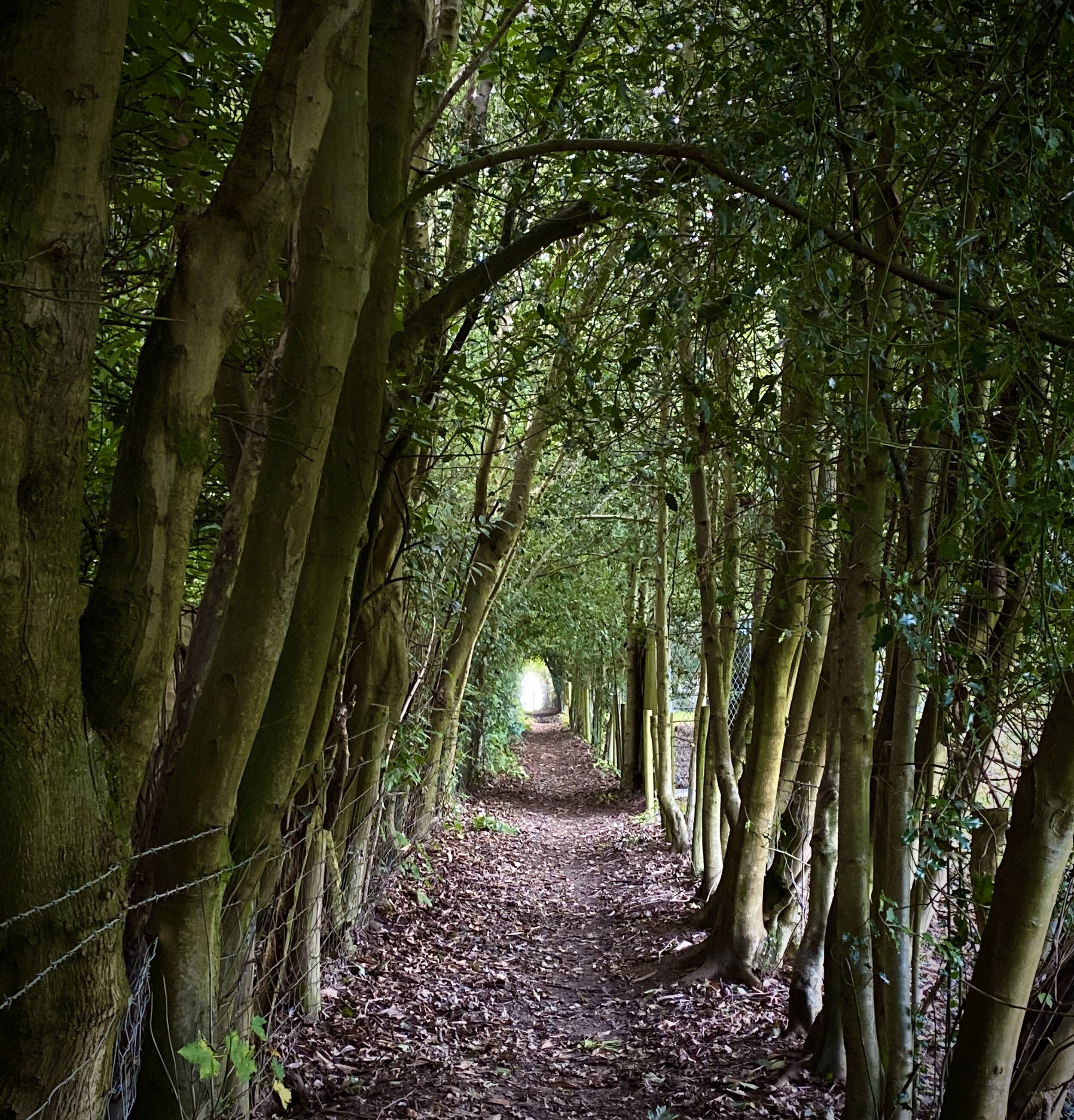
Take a left off Grove Lane onto a footpath opposite the entrance to Tunmers Lane, continuing in a westerly direction to Welders Lane.
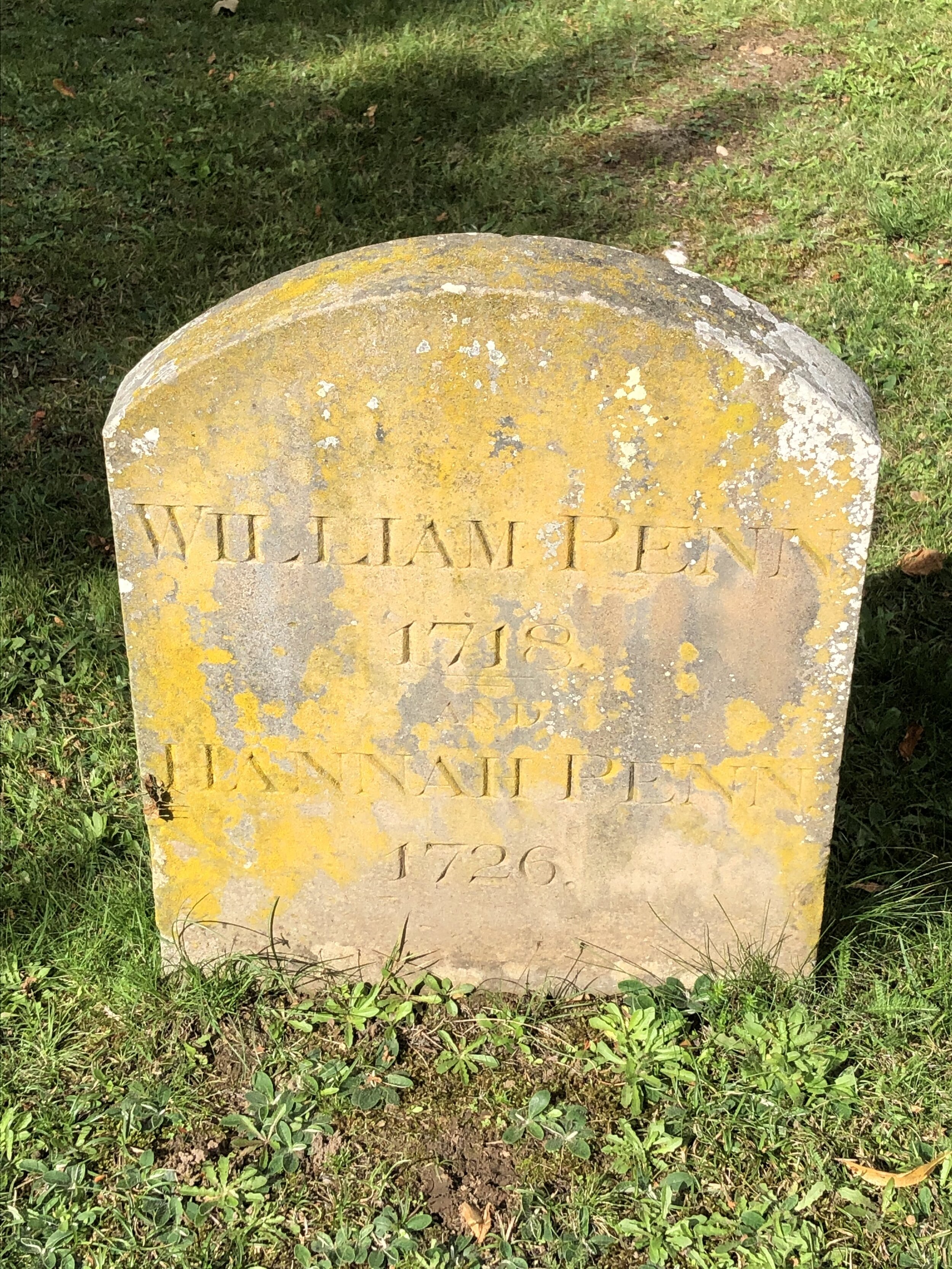
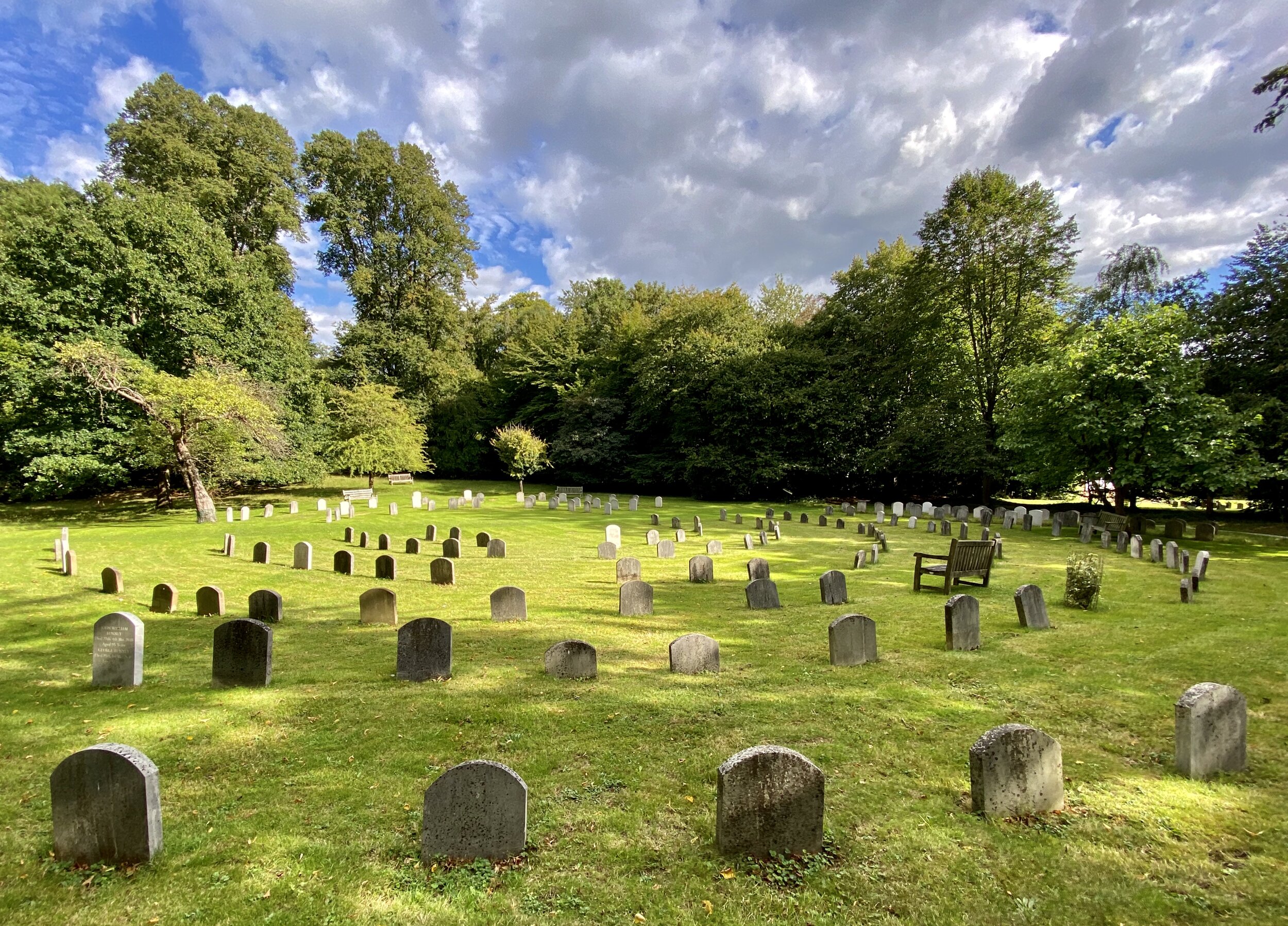
Just after you pass Jordans YHA at the western end of Welders Lane, cut through the grounds of the Quaker Meeting House to look out for the grave of William Penn, founder of the US state of Pennsylvania.
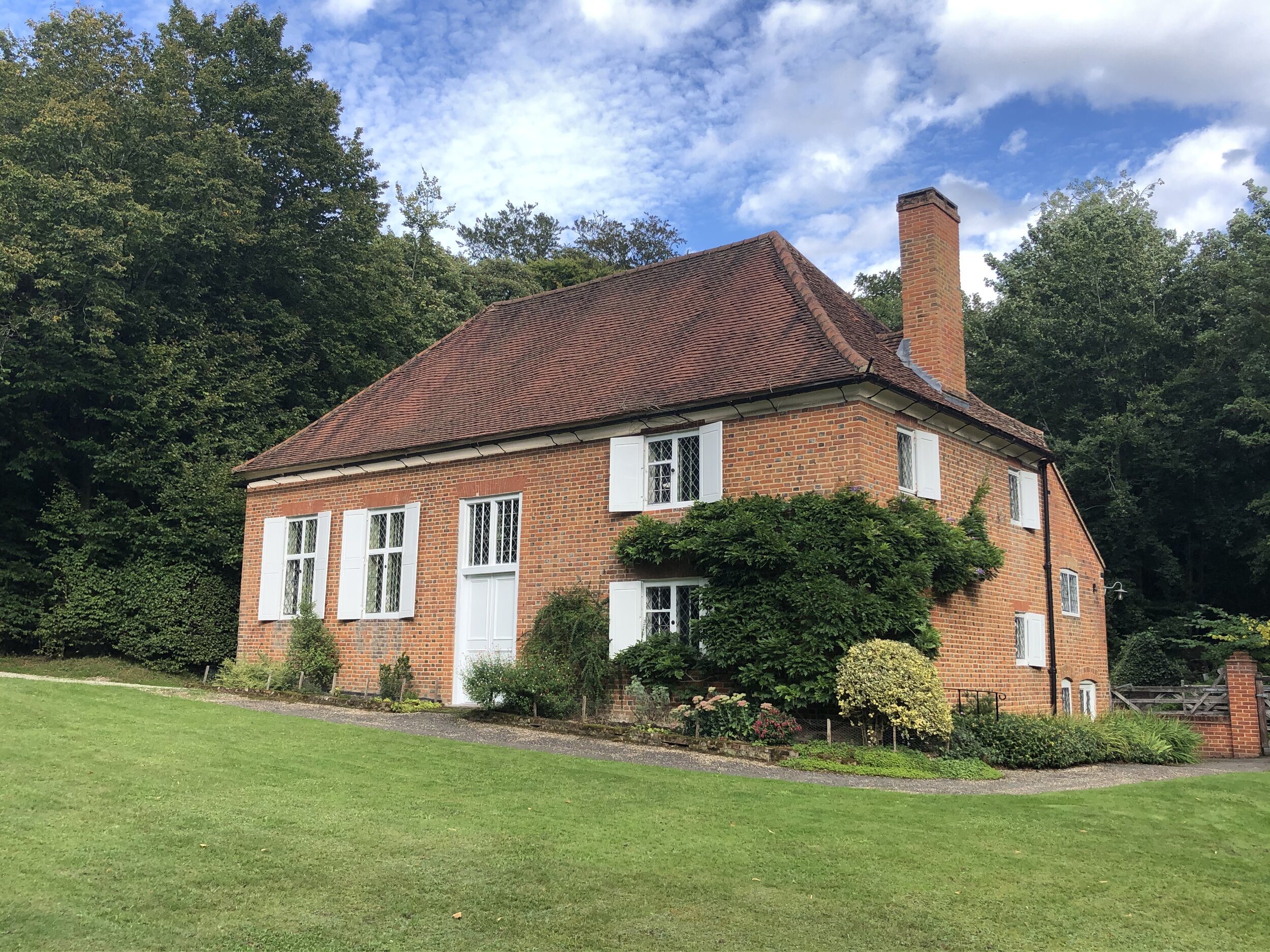
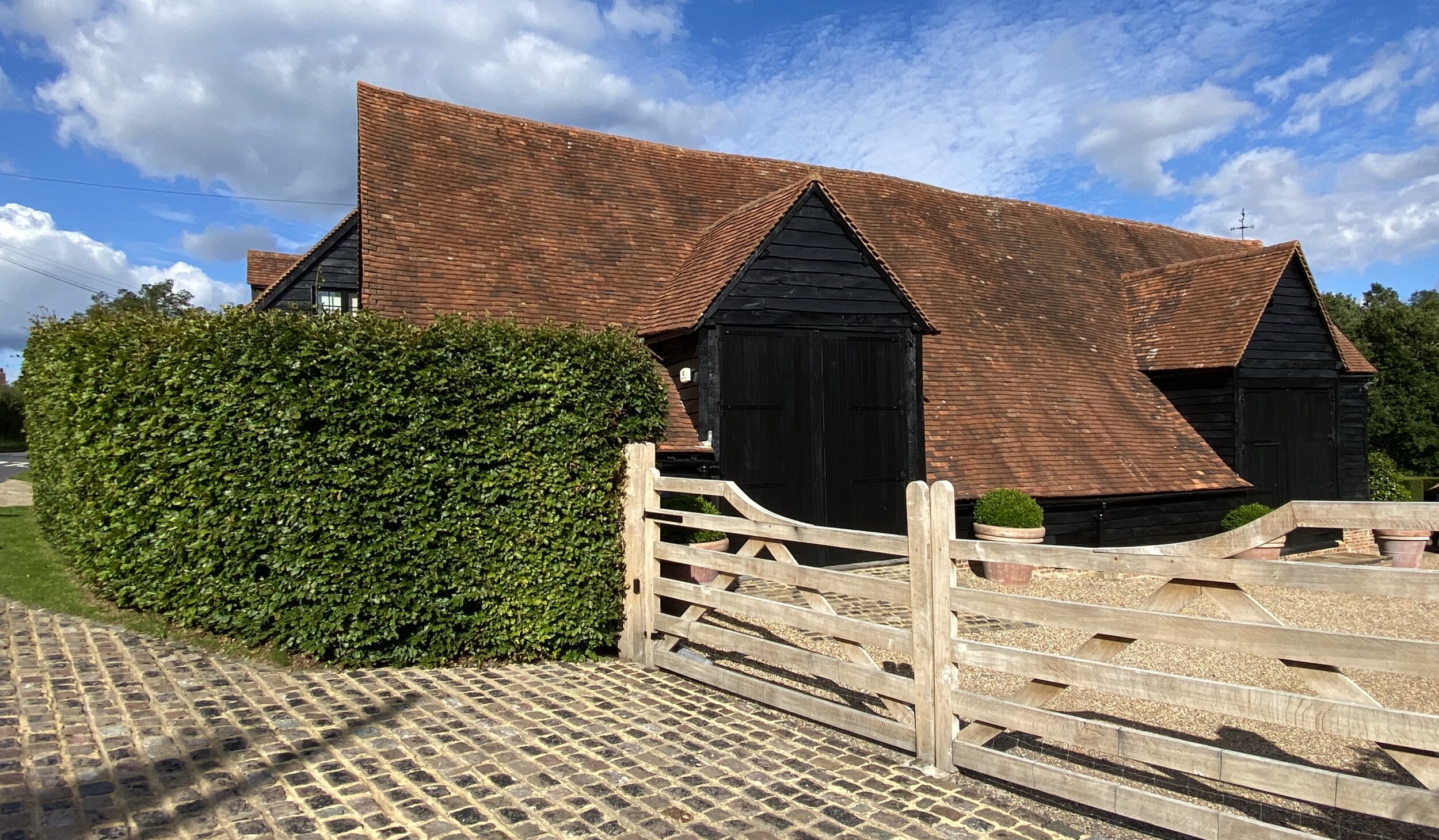
Round the corner on Jordans Lane, you'll find the Mayflower Barn; it is privately owned and not accessible but visible from the road.
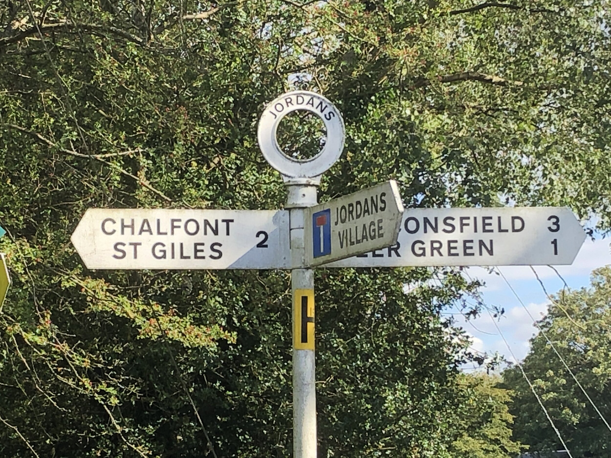
Take Seer Green Lane west off Jordans Lane to pass through the pretty village of Jordans.
Continue through Jordans and Seer Green, now following the Chiltern Heritage Trail in a north/north-easterly direction to join the South Bucks Way on the western side of the River Misbourne and the A413 Amersham Road. The Jolly Cricketers in Seer Green (4.6 km in) is a good place to stop for a rest and and a drink.
Take a right onto the South Bucks Way and follow it through Chalfont St Giles back to the start at Chalfont St Peter.
Points of Interest along or near to the Route
Jordans and the Quaker Centre While the area served as a significant early centre for the Quaker movement in the 17th century, the village of Jordans itself is much younger: it came into existence as a model Quaker community established on a green-field site from 1919. The village takes its name from Old Jordans Farm, which was identified as Jurdens on the 1770 Thomas Jefferys Buckinghamshire county map and John Cary's 1801 map, before becoming Jordans on Andrew Bryant's 1825 county map. The Jordans Meeting House, built in 1688, is one of the oldest in the country and is the final resting place of William Penn, the founder of the Province of Pennsylvania. Its simple, historic architecture reflects the Quaker values of peace and equality, making it a culturally significant and peaceful stop along your walk.
Just a stone's throw away on Jordans Lane is the fascinating Mayflower Barn. Local folklore and some historical claims suggest that this agricultural building was constructed using salvaged timber from the Mayflower, the famous ship that transported the Pilgrim Fathers to America in 1620. While the barn is privately owned and cannot be entered, viewing it from the road offers a wonderful connection to 17th-century history.
Seer Green Village Seer Green gets its name from the Old English sere (meaning dry) and grene (meaning a grassy spot). It was referred to as La Sere or La Cere in its earliest recorded mention in a legal writ from 1232, and historically sometimes spelt Sear Green or Shere Grene. The name Seer Green first appears in a 1407 document: an Inquisition Post Mortem recording the heir to the Lord of the manor of Farnham Royal. For much of its history, Seer Green was a detached part of Farnham Royal. Farnham (from farn meaning ferns and ham meaning village) held the 'Royal' designation because the Lord of the manor and Tenant-in-Chief provided a special service to the monarch: a privilege likely granted by Henry II after 1174 and later removed by Henry VIII in 1541. Renowned for cherry-growing, the village was once a key provider of the fruit to London markets throughout the 19th and early 20th centuries.
The Jolly Cricketers, Seer Green. The pub’s wisteria is well over 100 years old. The landlord serves Cask Marque accredited local real ales. The kitchen has an AA Rosette offering modern British food specialising in Cornish seafood. The owners have had the pub since 2008.
The River Misbourne, which you'll track alongside on the return leg to Chalfont St Peter, is a classic Chilterns chalk stream. These rare and ecologically vital rivers are globally scarce, fed by groundwater aquifers that give them their characteristic crystal-clear waters. The river environment provides a thriving habitat for local wildlife, including brown trout, kingfishers, and various aquatic plants.
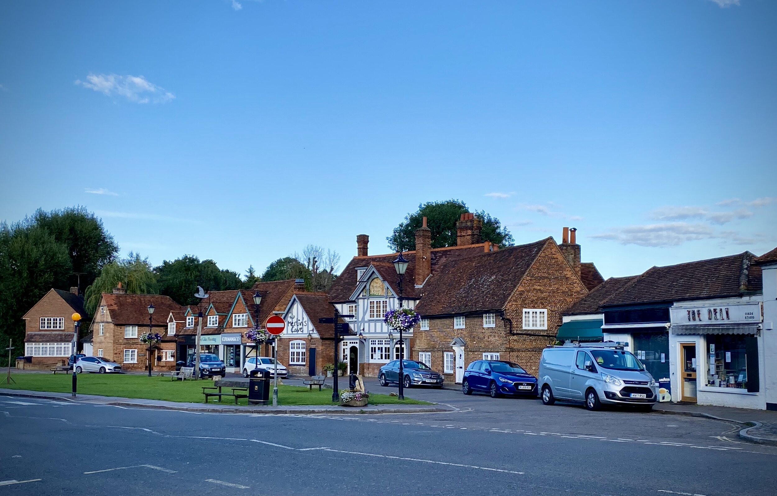
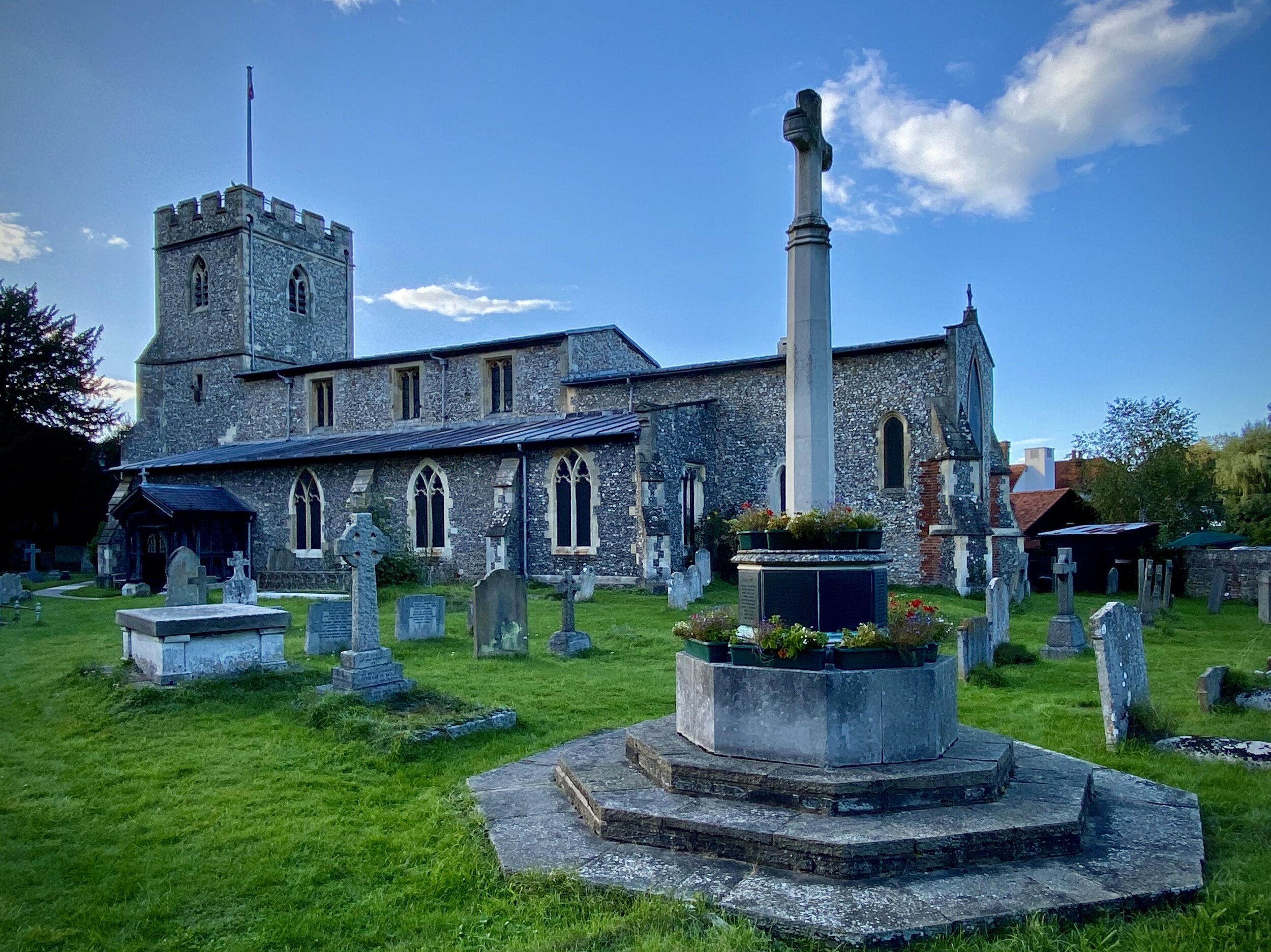
Finally, the picturesque village of Chalfont St Giles is renowned as the historic refuge of the great poet John Milton. Fleeing the Great Plague of London in 1665, Milton resided in a charming cottage here where he completed his epic masterpiece, Paradise Lost. The village retains much of its traditional charm, making it a delightful, culturally rich milestone on your walk.
South Bucks Way previous section (north): Amersham and Coleshill
South Bucks Way next section (south): Gerrards Cross to Denham
Chiltern Heritage Trail next section clockwise: Amersham and Coleshill
Chiltern Heritage Trail next section anti-clockwise: Chalfont St Giles and Newlands Park