Chiltern Walks: Amersham and Coleshill

Downhill to Amersham
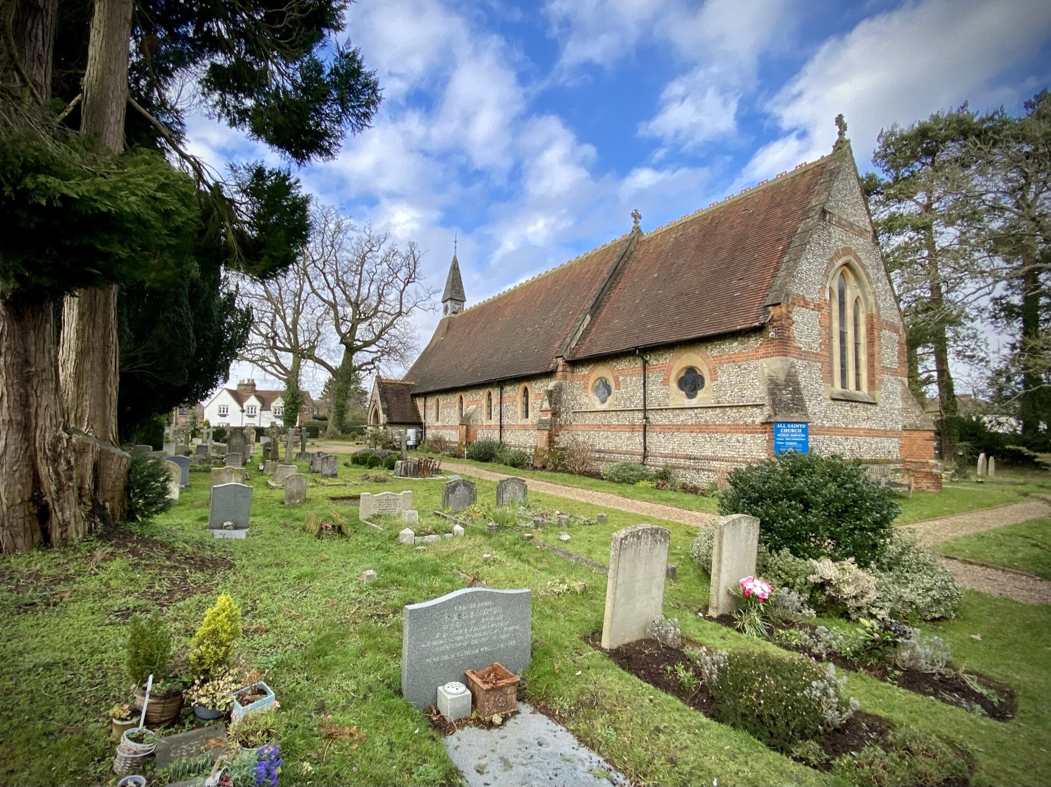
Start & Finish: The Red Lion, Coleshill, Village Rd, Amersham, HP7 0LH
Distance: 11.5 km (7.1 miles)
Elevation change: +/- 118m
South Bucks Way section covered: Amersham to (near) Chalfont St Giles: 4.0 km
Chiltern Heritage Trail Section Covered: Bottrells Lane to Amersham: 5.2 km
GPX File: get via Buy Me a Coffee
Other routes touched (walk): Chiltern Way, Chiltern Heritage Trail, South Bucks Way
Other routes touched (cycle): Milton Route
Other Pubs / Cafes on route: Seasons Cafe, Old Amersham plus others in Old Amersham town centre
Map: OS Explorer Map (172) Chiltern Hills East
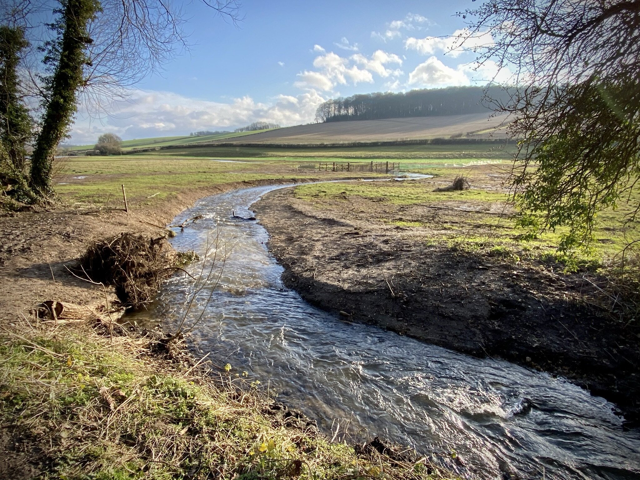
Links: Coleshill, Amersham, River Misbourne
The South Bucks Way is a 37 km (23-mile) trail that promises a delightful escape for walkers and hikers. This scenic route, often overshadowed by its more famous counterparts, offers a tranquil journey through charming villages, lush countryside, and the gentle murmur of the River Misbourne. This post is part of a series of circular walks featuring the South Bucks Way. The full trail stretches from Coombe Hill near Wendover to the Grand Union Canal at Denham. Our walks take in short sections of the South Bucks Way and loop back to the start on other paths. The South Bucks Way is well sign-posted however you’ll need a map or GPX route to keep on track for the return sections of the loops. The guidance below will help but don’t use it as a fully accurate turn-by-turn guide.
The route is also part of a series of 17 walks that, between them, cover the 83 km of the Chiltern Heritage Trail. Created as a Millennium project, this trail links the towns and parishes within the district, offering stunning scenery, charming villages, and points of historical interest.
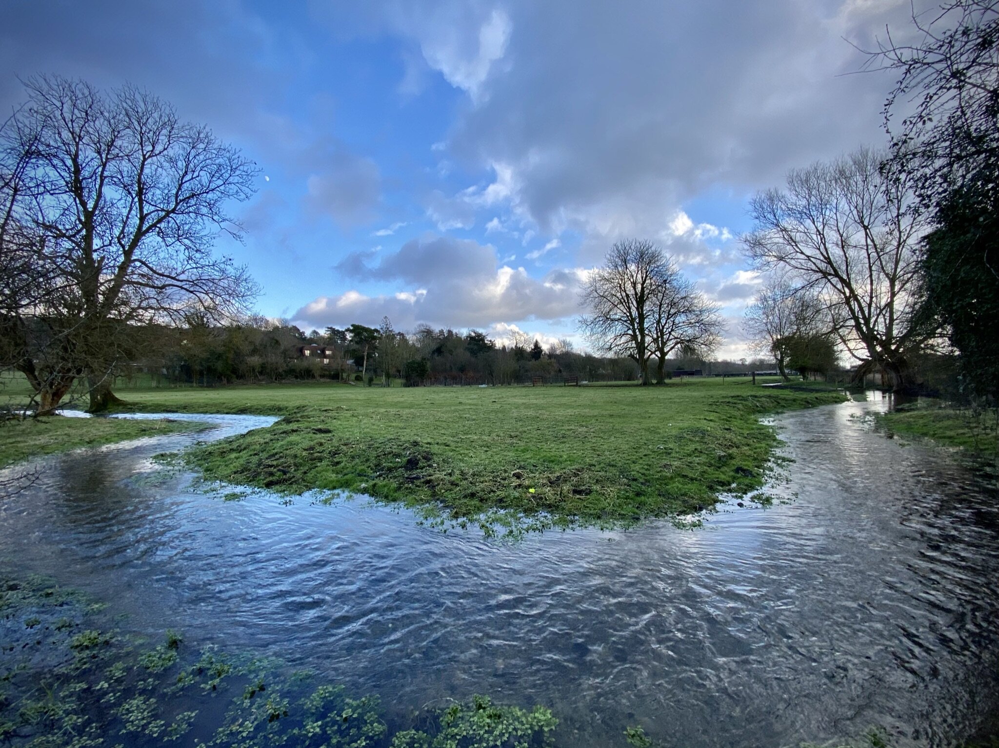
This section starts at the Market Square in Amersham. From here there’s 2 options, the first to follow the South Bucks Way, or to follow the Chiltern Heritage Trail and pick up the South Bucks Way after 1.8 km. We chose the Chiltern Heritage Trail option as it stays closer to the River Misbourne and is more interesting. If you take the South Bucks Way option follow Broadway in a south-easterly direction from Market Square and take the footpath on the eastern side of the Tesco Roundabout. Whichever option you take you’ll reach a path junction with the Chiltern Way around 4 km into the walk.
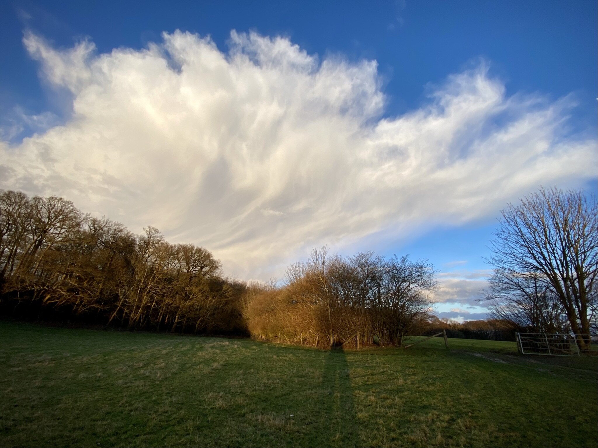
Here you’ll leave the South Bucks Way and take a right turn following the Chiltern Way up the hill. Follow the Chiltern Way in a westerly direction for 4 km along paths and through farmland back to Coleshill. Be careful when crossing the A355 as it’s very busy. At Coleshill take a right onto Village Road and follow the Chiltern Heritage Trail for in a northerly direction for 3 km back to Old Amersham.


South Bucks Way previous section (north): Amersham, Winchmore Hill and Penn
South Bucks Way next section (south): Chalfont St Giles and Chalfont St Peter
Chiltern Heritage Trail next section clockwise: Amersham, Winchmore Hill and Penn
Chiltern Heritage Trail next section anti-clockwise: Chalfont St Peter, Seer Green and Chalfont St Giles