Chiltern Walks: Seer Green and Jordans

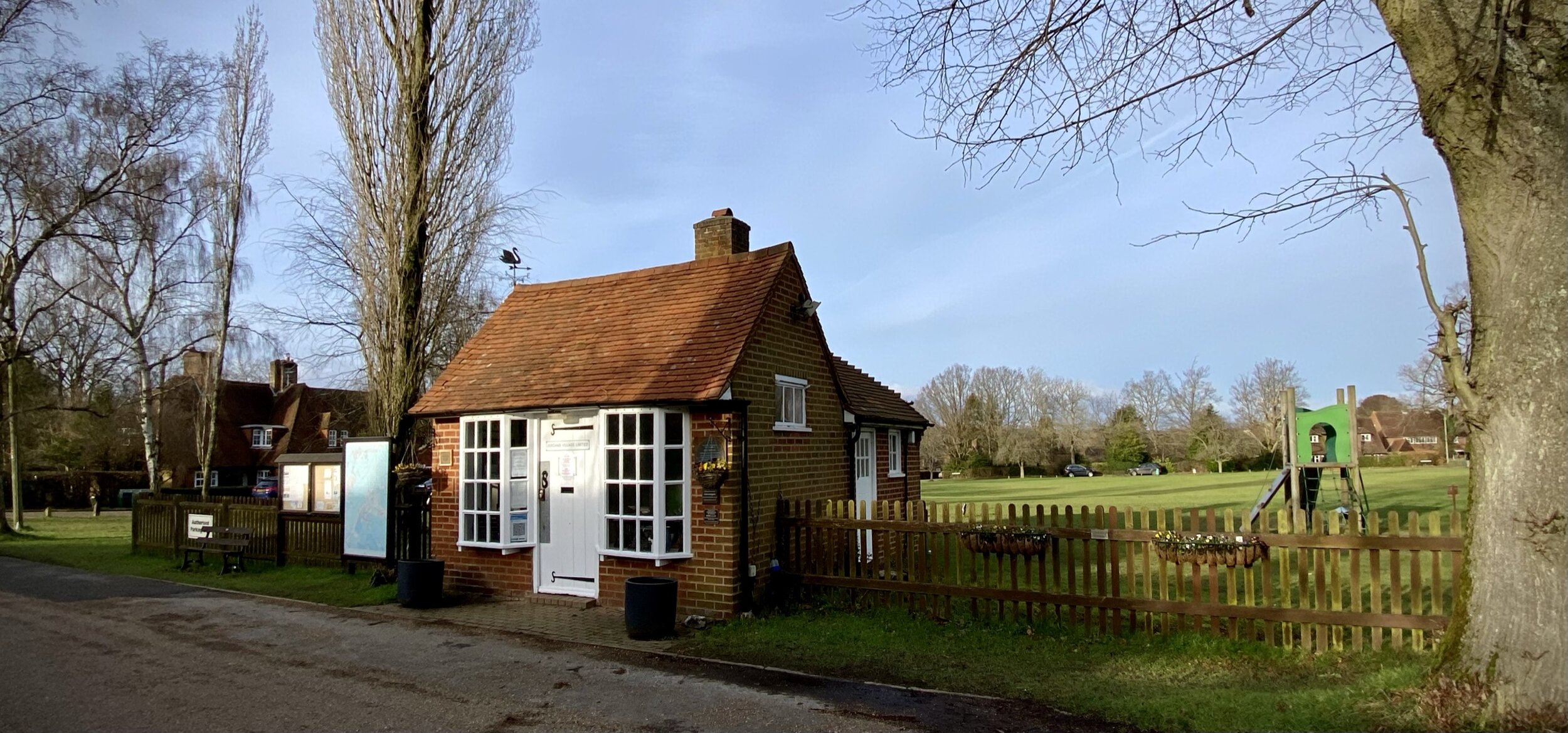
Jordans Village Green
Start & Finish: Seer Green & Jordans Station, Farm Lane, Seer Green, HP9 2UP
Distance: 7.3 km (4.5 miles)
Elevation change: +/- 47m
GPX File: get via Buy Me a Coffee
Other routes touched (walk): Chiltern Heritage Trail
Other routes touched (cycle): None
Pubs / Cafes on route: The Jolly Cricketers, just off the route at ~1 km in
Map: OS Explorer Map (172) Chiltern Hills East
Links: Jordans, Seer Green and Jordans Station, Seer Green, William Penn, Jordan’s Quaker Meeting House and Centre
The Chiltern Hills National Landscape (formerly AONB) is a picturesque landscape located in the southeast of England. It covers an area of approximately 324 square miles and spans across four counties: Oxfordshire, Buckinghamshire, Bedfordshire, and Hertfordshire. The hills are characterized by rolling chalk hills, ancient woodlands, and charming villages with thatched roofs. It is a popular destination for hikers, cyclists, and nature lovers who come to enjoy the stunning vistas and the rich biodiversity of the area. The area is also rich in history and has many sites of archaeological and historical interest, such as Iron Age forts and medieval churches.
Walking Directions
This pleasant 7.3 km circular walk begins at the convenient Seer Green & Jordans Station, immediately taking you up towards the quintessential Buckinghamshire village of Seer Green. Escaping the residential streets, you will quickly find yourself immersed in the serene farmland and open spaces that make the Chilterns so spectacular, skirting the edges of the Oakland Park Golf Club and tranquil woodlands.
The return leg brings you near the historic heart of Jordans, brushing past the famous Quaker Centre and winding through the picturesque Crutches Wood. It’s a beautifully varied route that perfectly balances charming village scenery with the quiet, rural escapes the Chiltern Hills are famous for.
The guidance below will help you navigate but don’t use it as a fully accurate turn-by-turn guide. Always take a map and/or a GPX route and prepare well for the weather and terrain.
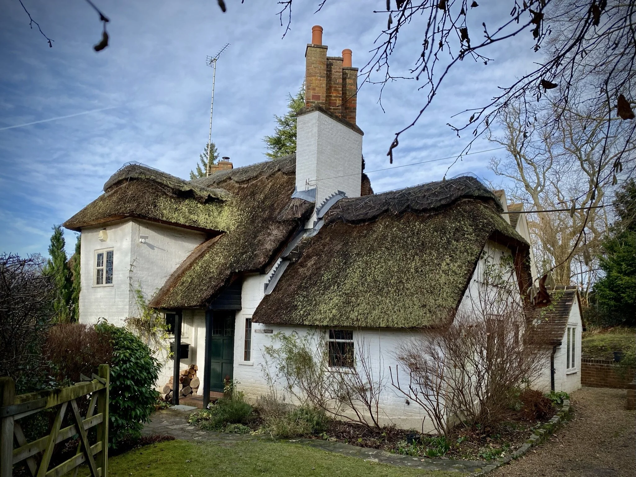
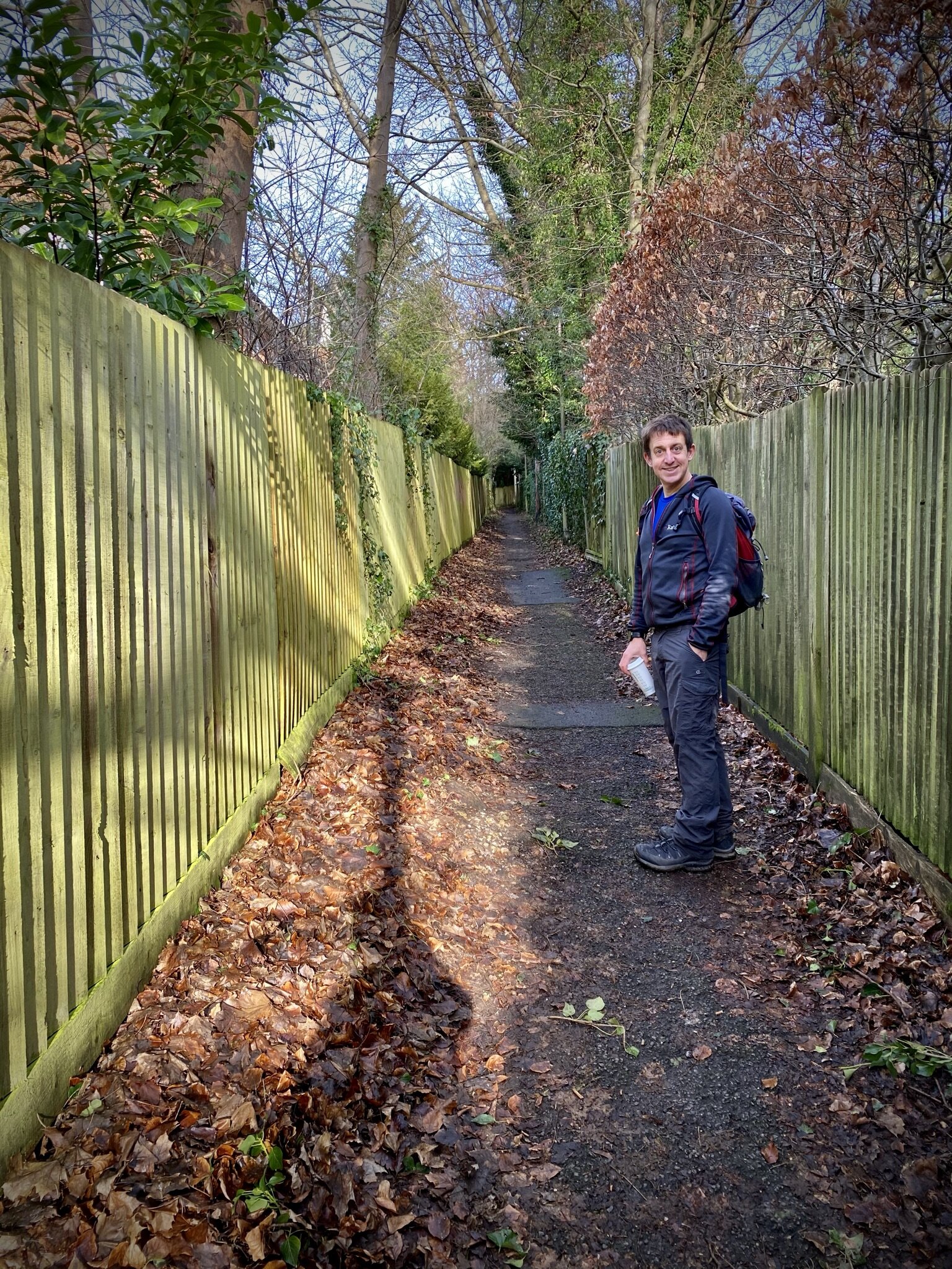
Starting from Seer Green and Jordans station you’ll follow a steep path up through some very nice houses into Seer Green village. This is a good point to stop for a drink at the Jolly Cricketers before tackling the rest of the walk.
From Seer Green village take a path in a north-easterly direction through fields and farmland to the junction of Newbarn Lane, Twitchell’s Lane and Three Households.
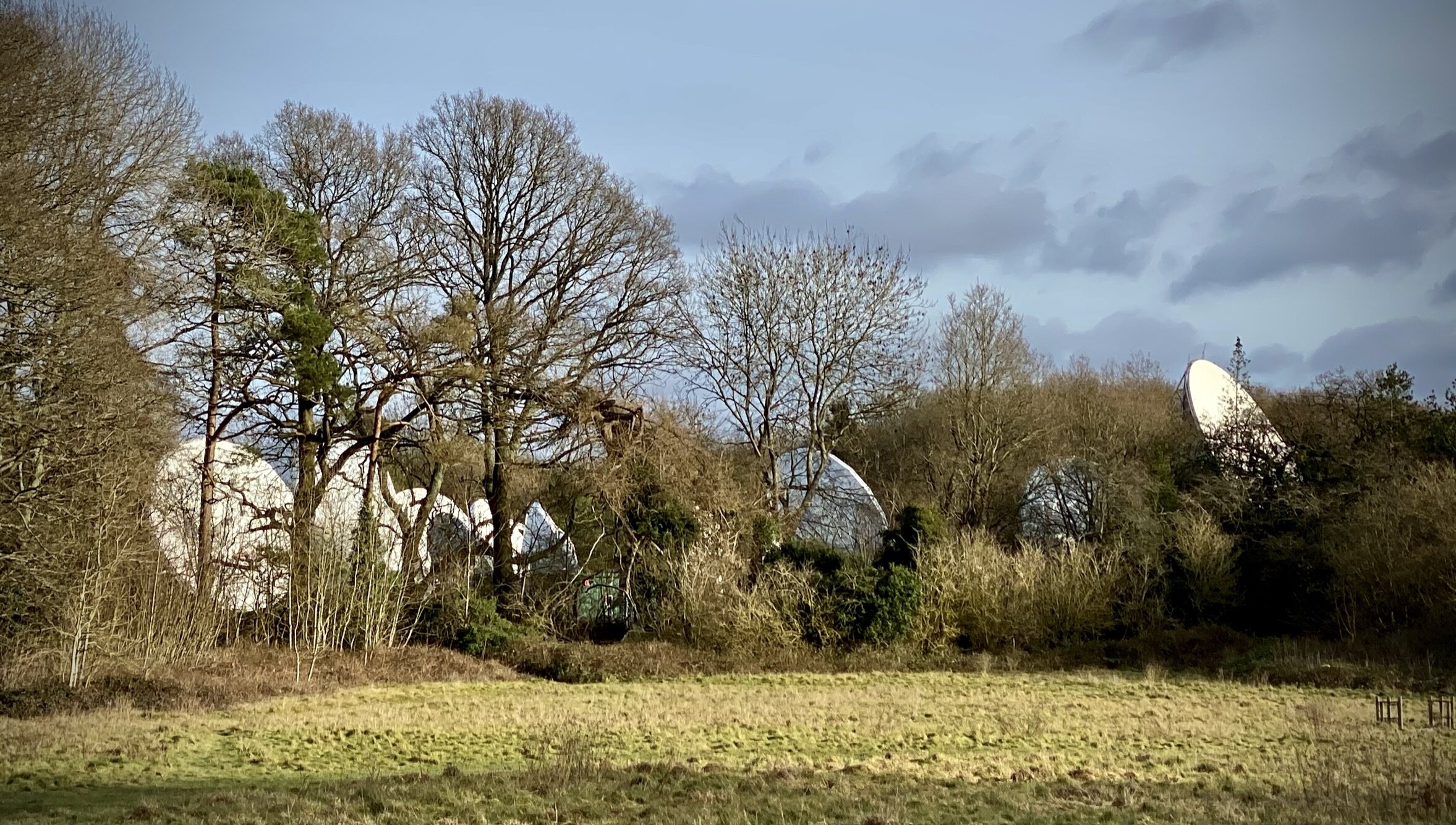
Continue in a north-easterly direction along Three Households for ~500m before taking a right-hand footpath through Oakland Park Golf Club. Continue in a south-easterly direction for ~1.4 km until you reach a T-junction in the footpath in the woods. Take the right-hand footpath, following along the edge of the boundary with the communications site with the large satellite dishes.
You’ll come to a large open space where you can take a right hand path, heading west.
Follow this path through farmland to Jordans Lane and the Chiltern Heritage Trail. Briefly follow this south towards the Quaker Centre, crossing the road when you see a footpath on the right heading west. Follow this path through the field, Crutches Wood, over Longbottom Lane and back to the start at Seer Green and Jordans station.
Points of Interest along or near to the Route
Seer Green Village Seer Green gets its name from the Old English sere (meaning dry) and grene (meaning a grassy spot). It was referred to as La Sere or La Cere in its earliest recorded mention in a legal writ from 1232, and historically sometimes spelt Sear Green or Shere Grene. The name Seer Green first appears in a 1407 document: an Inquisition Post Mortem recording the heir to the Lord of the manor of Farnham Royal. For much of its history, Seer Green was a detached part of Farnham Royal. Farnham (from farn meaning ferns and ham meaning village) held the 'Royal' designation because the Lord of the manor and Tenant-in-Chief provided a special service to the monarch: a privilege likely granted by Henry II after 1174 and later removed by Henry VIII in 1541. Renowned for cherry-growing, the village was once a key provider of the fruit to London markets throughout the 19th and early 20th centuries.
Jordans and the Quaker Centre While the area served as a significant early centre for the Quaker movement in the 17th century, the village of Jordans itself is much younger: it came into existence as a model Quaker community established on a green-field site from 1919. The village takes its name from Old Jordans Farm, which was identified as Jurdens on the 1770 Thomas Jefferys Buckinghamshire county map and John Cary's 1801 map, before becoming Jordans on Andrew Bryant's 1825 county map. The Jordans Meeting House, built in 1688, is one of the oldest in the country and is the final resting place of William Penn, the founder of the Province of Pennsylvania. Its simple, historic architecture reflects the Quaker values of peace and equality, making it a culturally significant and peaceful stop along your walk.
The Jolly Cricketers, Seer Green. The pub’s wisteria is well over 100 years old. The landlord serves Cask Marque accredited local real ales. The kitchen has an AA Rosette offering modern British food specialising in Cornish seafood. The owners have had the pub since 2008.
Old Long Grove is a historic woodland that has been established since at least 1557. The woods hold a fascinating royal connection: they were documented in the 'Court Survey of 1560' for Queen Elizabeth I, which recorded that the woodland had three years of growth at that time.
Crutches Wood. As you walk through Crutches Wood, you are experiencing a prime example of the ancient woodlands that characterise the Chiltern Hills. These tranquil, broadleaved woods are crucial habitats for local wildlife, offering shaded shelter for various woodland birds and mammals. Depending on the season, walkers might also be treated to spectacular carpets of native bluebells, a natural hallmark of the region's ancient woodland floors.
The Chiltern Heritage Trail. Your route briefly intersects with the Chiltern Heritage Trail, a celebrated 52-mile circular path designed to showcase the very best of the local area. Following this historic trail, even for a short stretch, connects you to a wider network of rolling chalk hills, ancient hedgerows, and historic parish boundaries that have shaped this National Landscape for centuries.