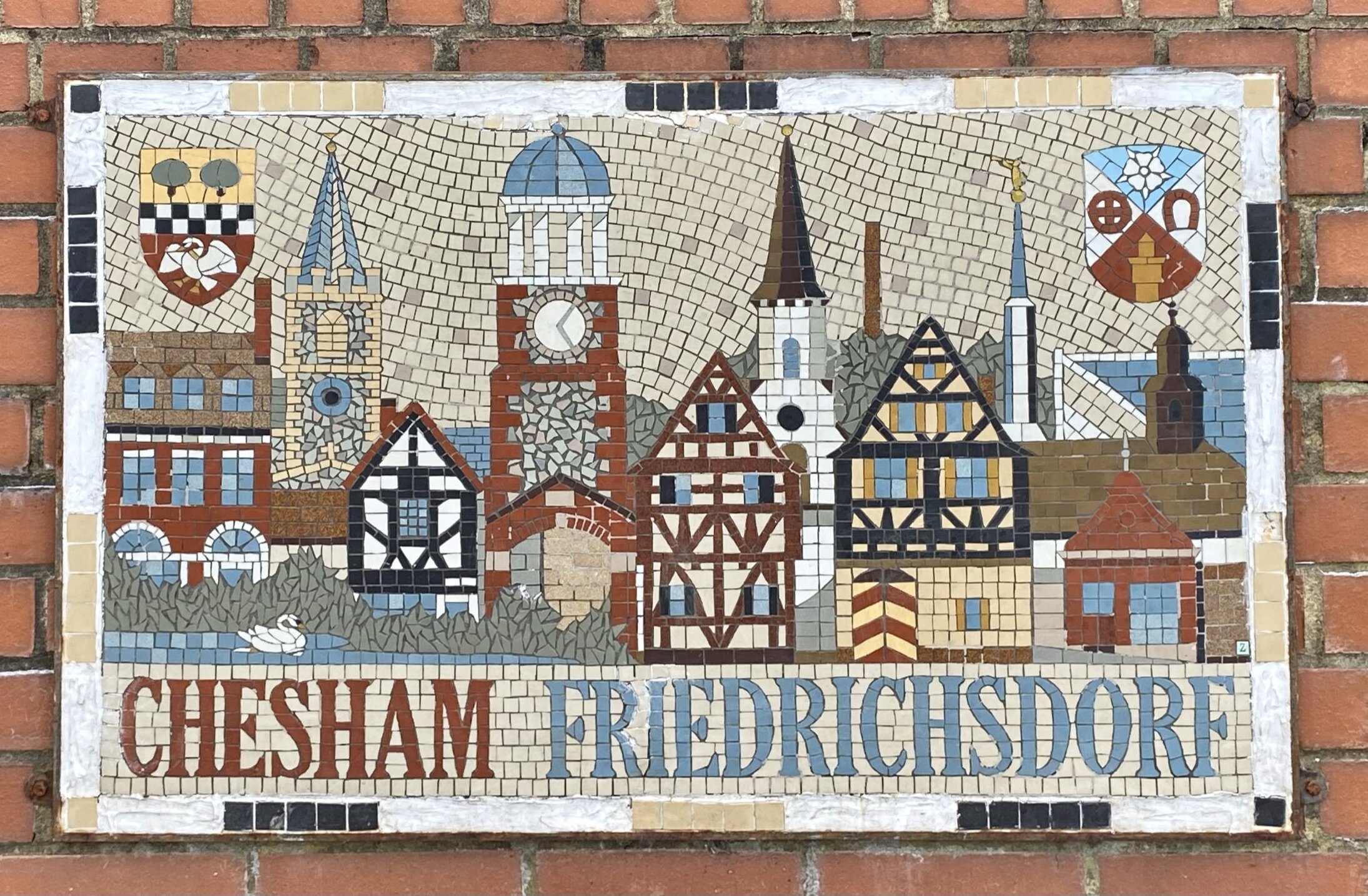
Chiltern Walks: Chesham and Tylers Hill

Descending to Chesham on the Chilterns Heritage Trail
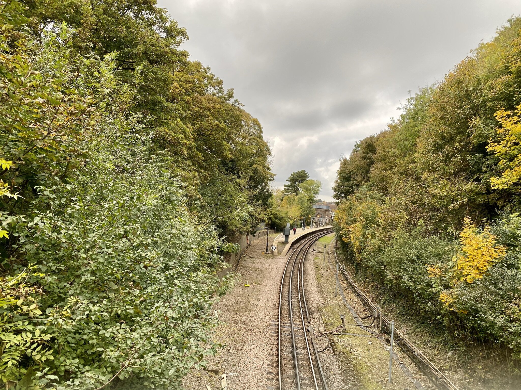
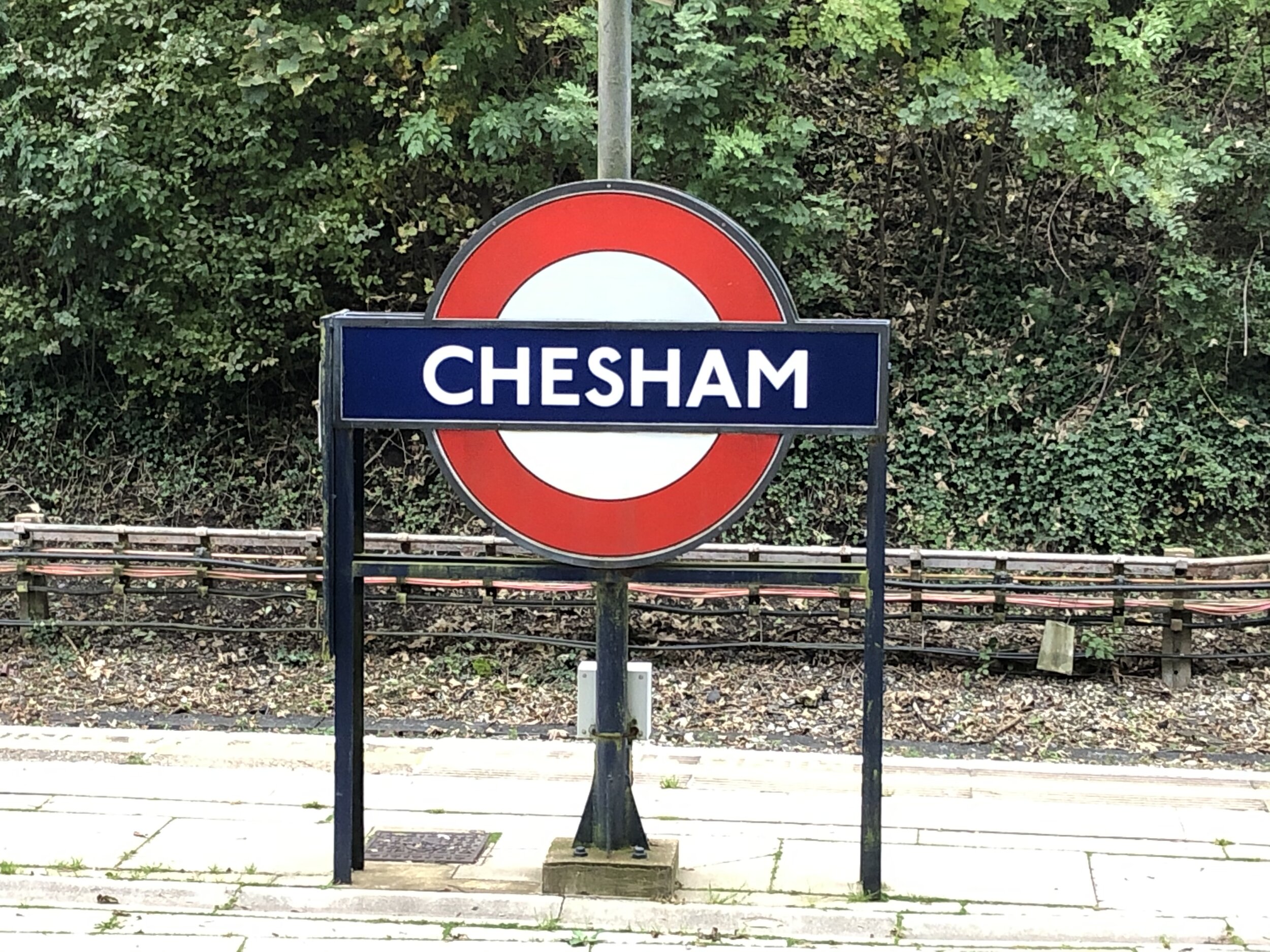
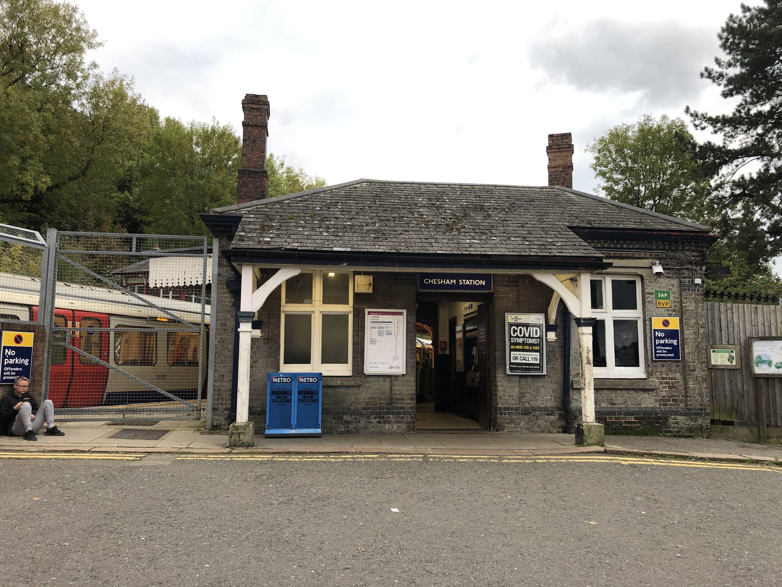
Start & Finish: Chesham Station, Chesham. HP5 1DA
Alternative Car Parking at: Star Yard Car Park, Parsonage, Lane, Chesham, HP5 1EP
Distance: 9.3 km (5.8 miles)
Elevation change: +/- 84m
Chilterns Heritage Trail Section Covered: Tylers Hill to Lower Bois: 4.49 km
GPX File: get via Buy Me a Coffee
Other routes touched (walk): Chess Valley Walk, Chiltern Heritage Trail, Chiltern Link, Two Rivers Walk
Pubs / Cafes on route: Several in Chesham Town Centre.
Map: OS Explorer Map (181) Chiltern Hills North
Links: Chesham, Chesham Station, Tylers Hill, River Chess
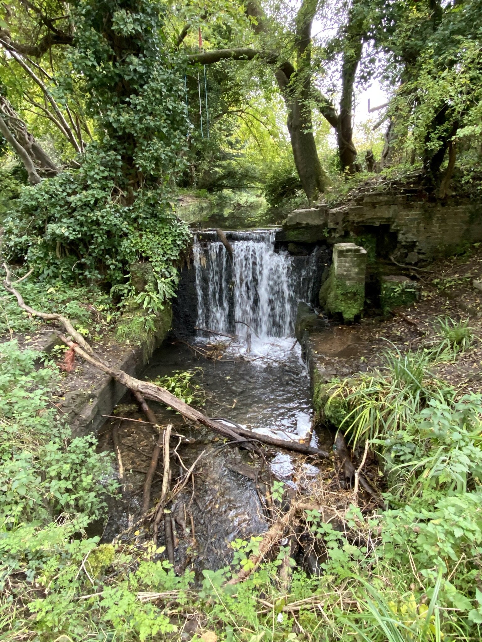
This trip was both part of our River Chess Circulars and our walks based around the rail and underground stations of the Chilterns. The River Chess runs from its source at Pednor, near Chesham, to Rickmansworth where it joins the Colne. The Chess Valley Walk is a point-to-point trail along the course of the river from Chesham to Rickmansworth stations.
It’s also part of a series of 17 walks that, between them, cover the 83 km of the Chiltern Heritage Trail. Created as a Millennium project, this trail links the towns and parishes within the district, offering stunning scenery, charming villages, and points of historical interest. The guidance below will help you navigate but don’t use it as a fully accurate turn-by-turn guide. Always take a map and/or a GPX route and prepare well for the weather and terrain.
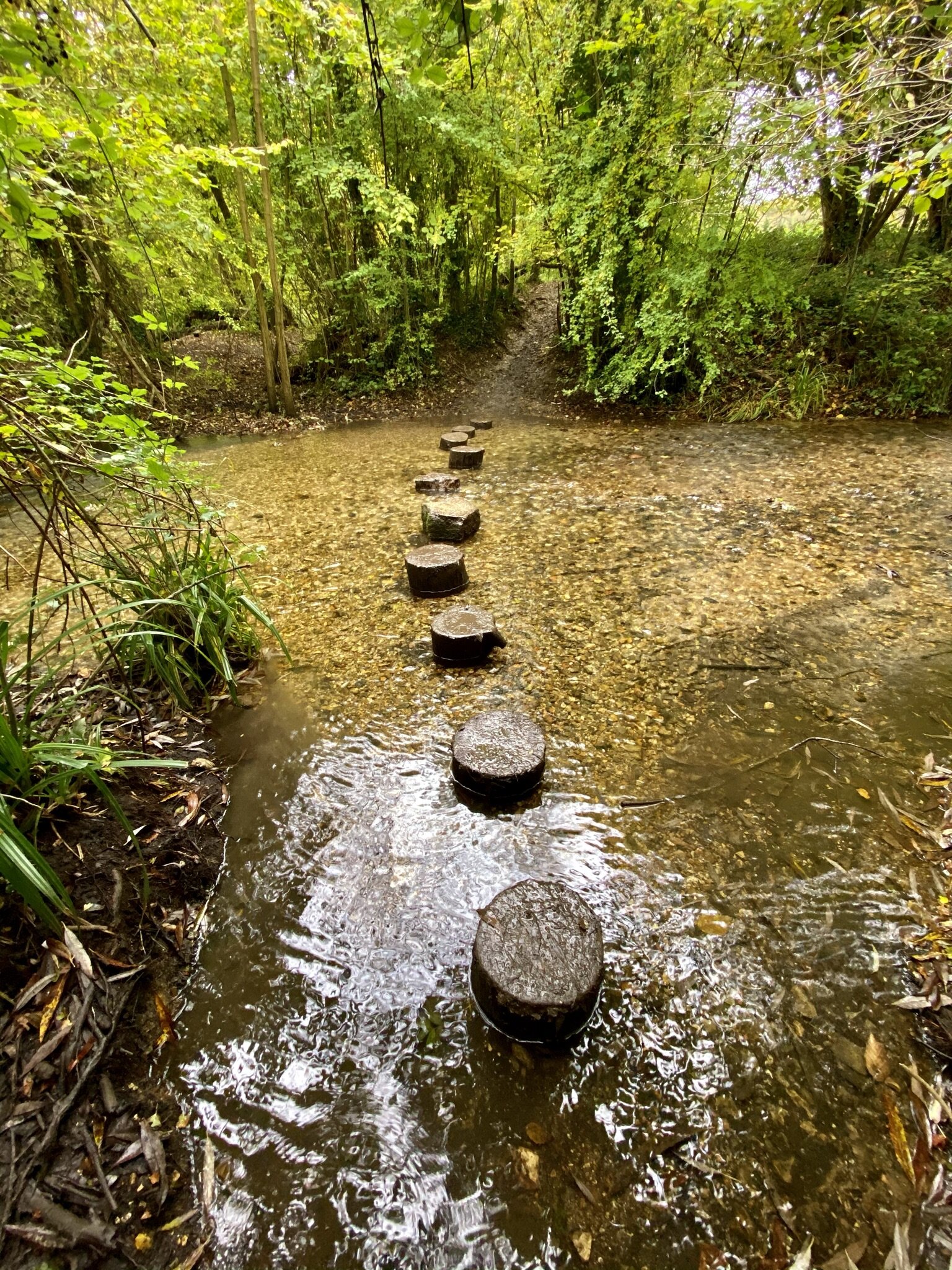
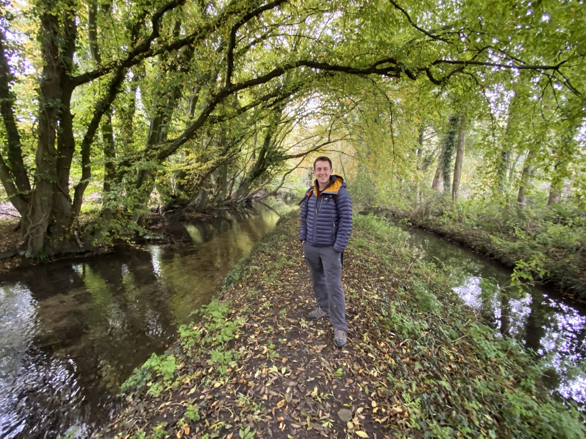
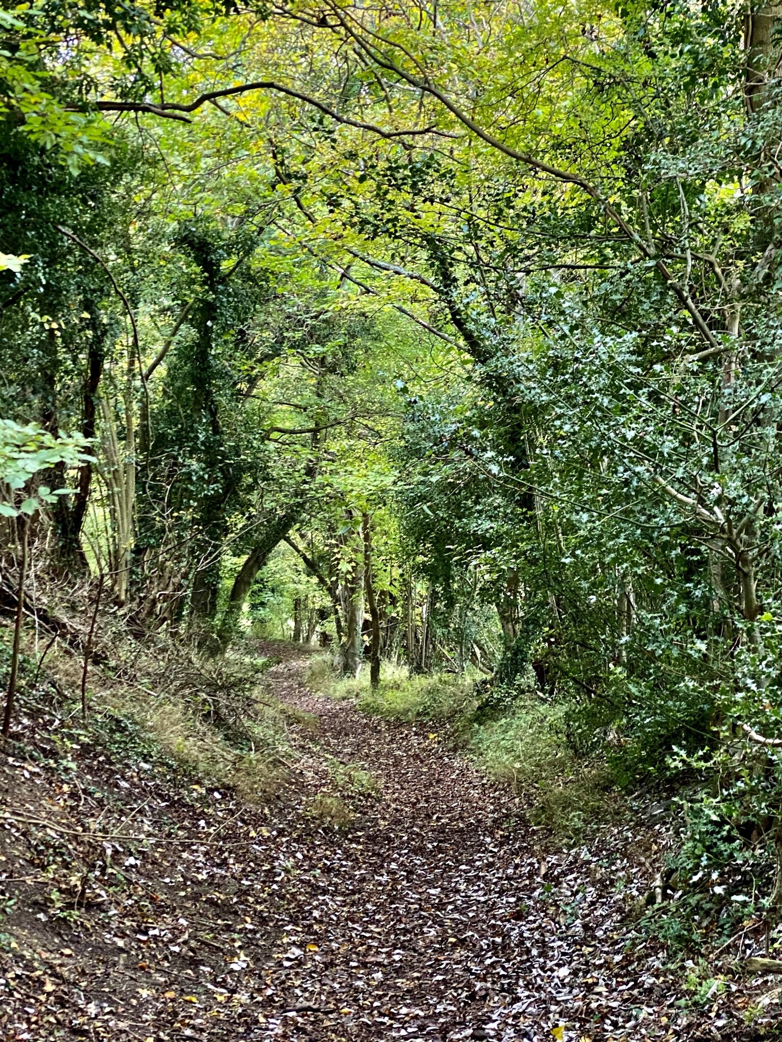
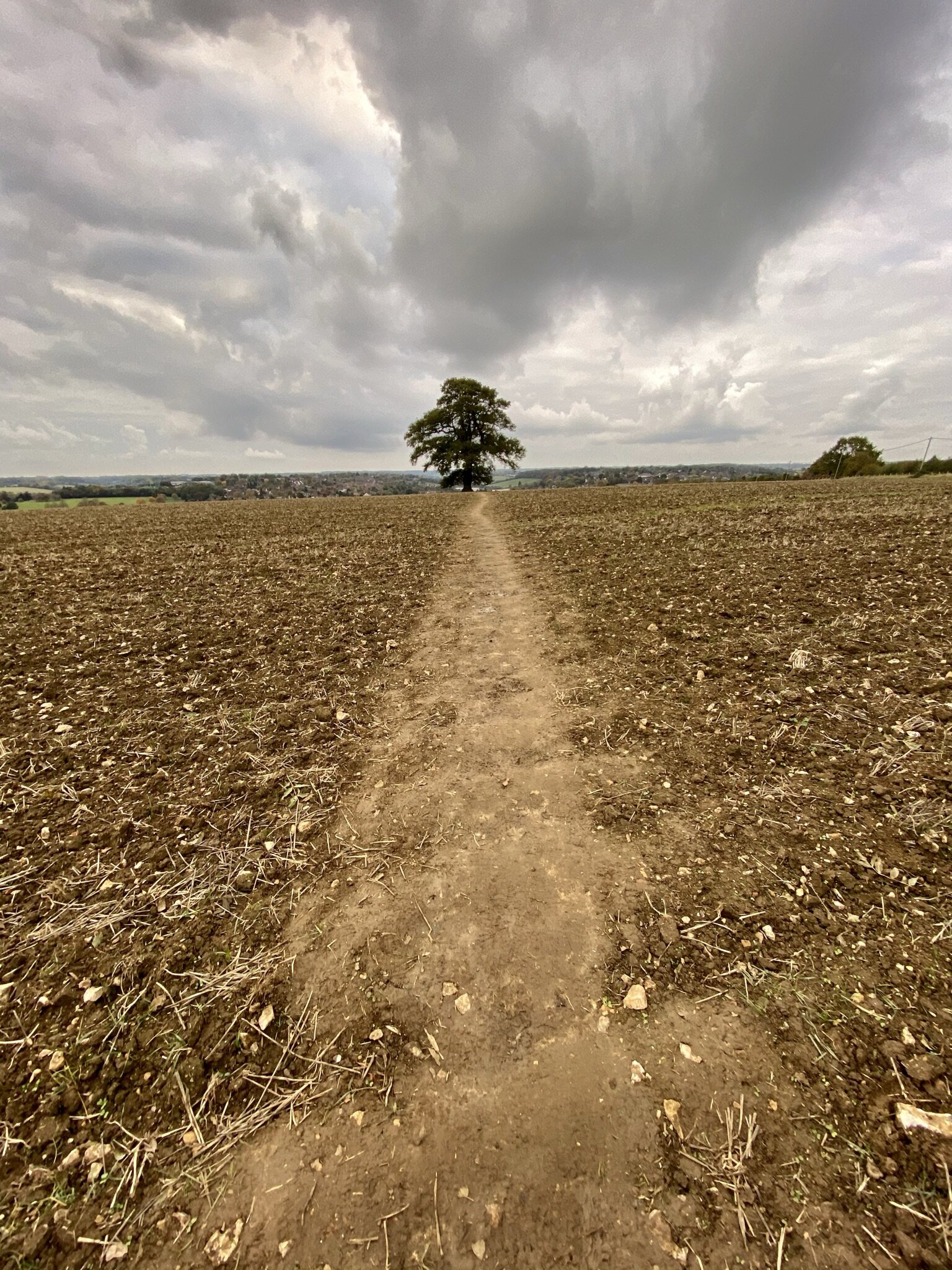
The walk starts at Chesham Underground station and initially follows the Chiltern Link to the High Street. At the end of the High Street cross over Red Lion Street (A416) and onto Germain Street. When you reach the bridge over the River Chess, take a left onto the small footpath that follows the northern bank of the Chess then crossing over to the southern bank at the Amersham Road roundabout. Follow the Chess Valley Walk for ~3 km until Latimer Road where you’ll take a left onto the road to cross to the northern side of the Chess. When passing through Lower Bois make sure that you keep to the Chess Valley Walk and leave the Chiltern Heritage Trail when it splits off to the south.
After Latimer Road crosses the Chess you’ll leave the Chess Valley Walk to take a path ascending up Burns Lane. After ~750m you’ll reach a T-junction in the path. Take a right to follow the path to Green Lane. Take a left onto Green Lane, then the first footpath on the left. Follow the paths through the fields in a north-westerly direction, through Cowcroft Wood and onto Tylers Hill Road. Take a left onto a footpath to reconnect with the Chiltern Heritage Trail. Follow the Heritage Trail all the way back to Chesham Underground Station.


Chiltern Heritage Trail next section clockwise: Chesham & Bois and Wychfield Spring
Chiltern Heritage Trail next section anti-clockwise: Orchard Leigh and Botley